Route: Tre Cime di Lavaredo
Area: Dolomites, Italy
Date of walk: 18th June 2018
Walkers: Andrew, Gilly and James
Distance: 6.4 miles
Ascent: 1,600 feet
Weather: Sunny intervals, light rain towards the end
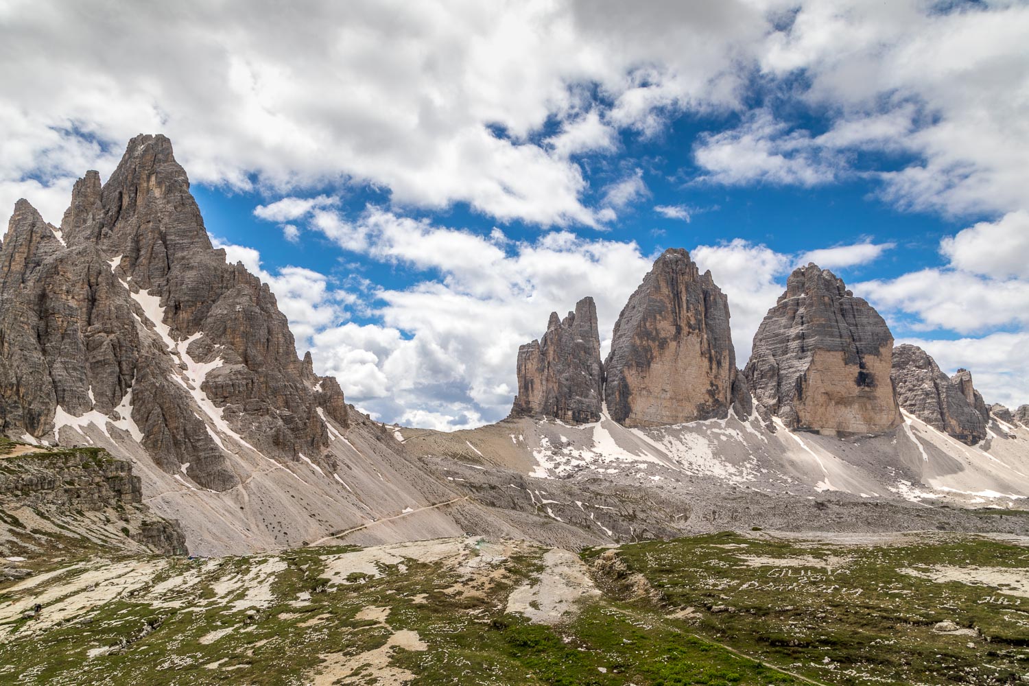
The Tre Cime di Lavaredo is probably the best known mountain group in the Dolomites, and a circuit of the group makes for a magnificent outing, with the added bonus that the paths are perfectly safe and straightforward. This is a route that every keen walker should follow once, but perhaps not twice, for reasons which will become apparent
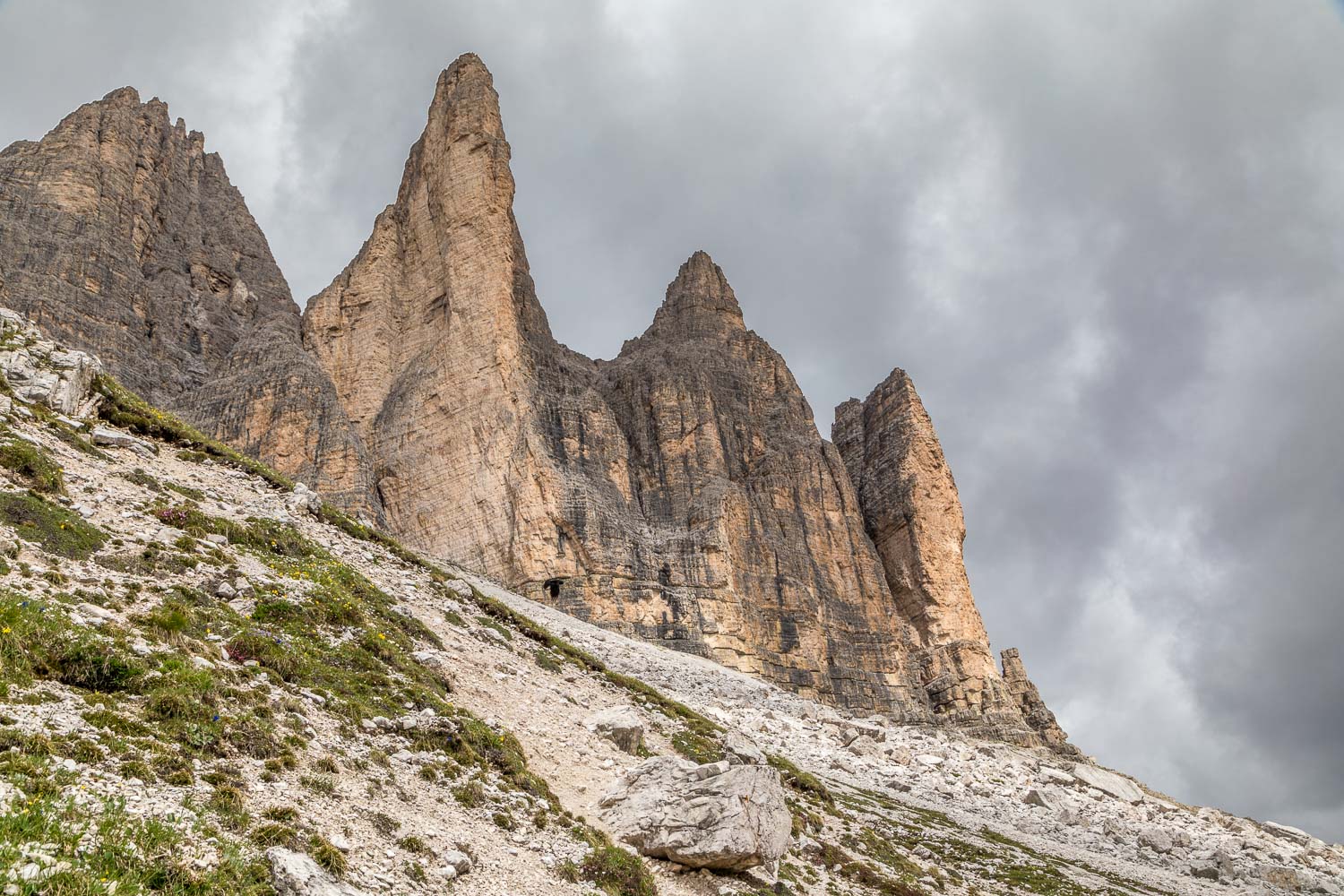
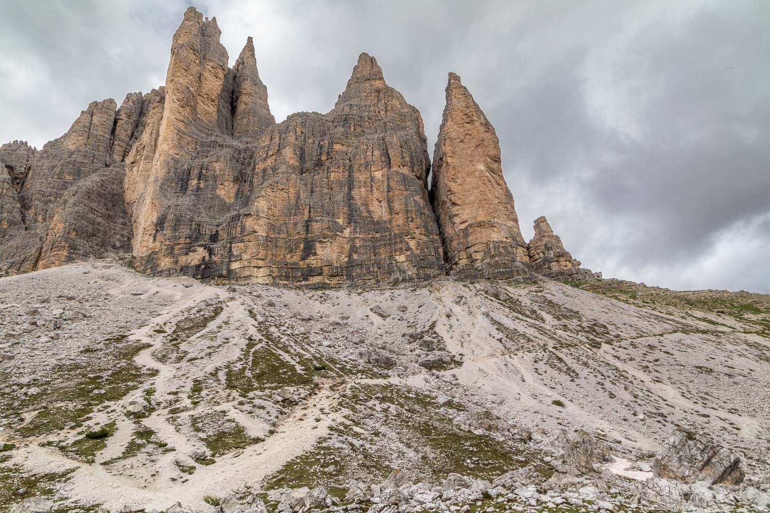
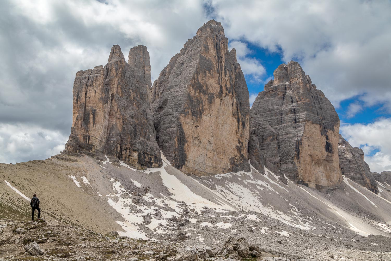
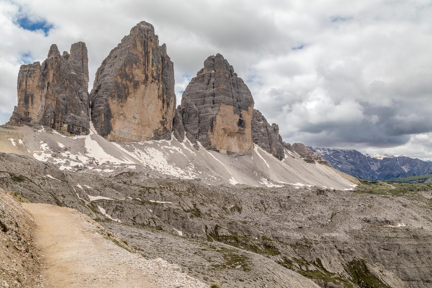
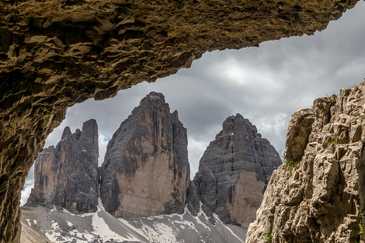
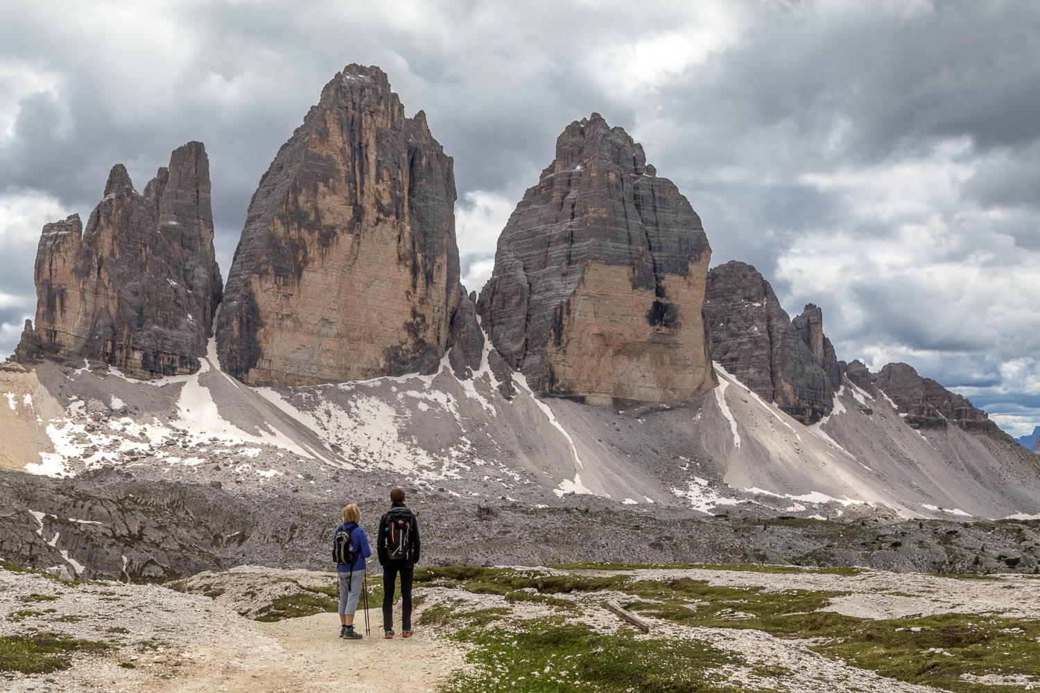
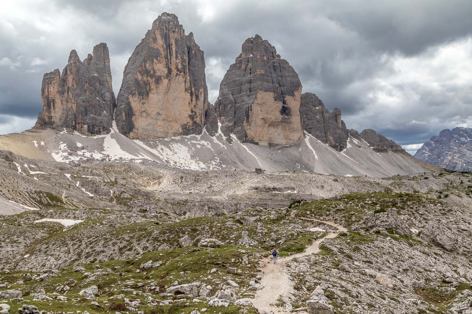
The three peaks, from east to west, are:
- Cima Piccola (“little peak”)
- Cima Grande (“big peak”) – the highest of the group at 9,839 feet
- Cima Ovest (“western peak”)
We parked at the Rifugio Auronzo, at an altitude of 7,600 feet, which can only be reached via a toll road managed by the local council – the current cost for a car being €30. We were aware from our research that the walk is a popular one, and anticipated that setting off on a Monday early in the hiking season would minimise the numbers of fellow walkers. This proved to be wishful thinking as the paths were very busy at times, including several very large and loud guided groups
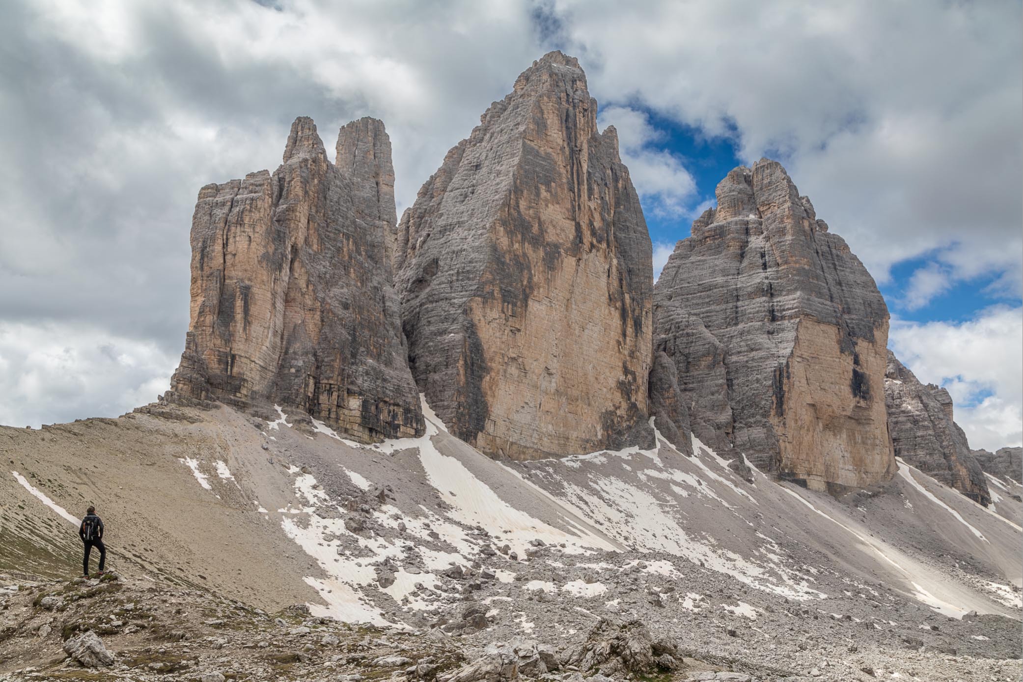
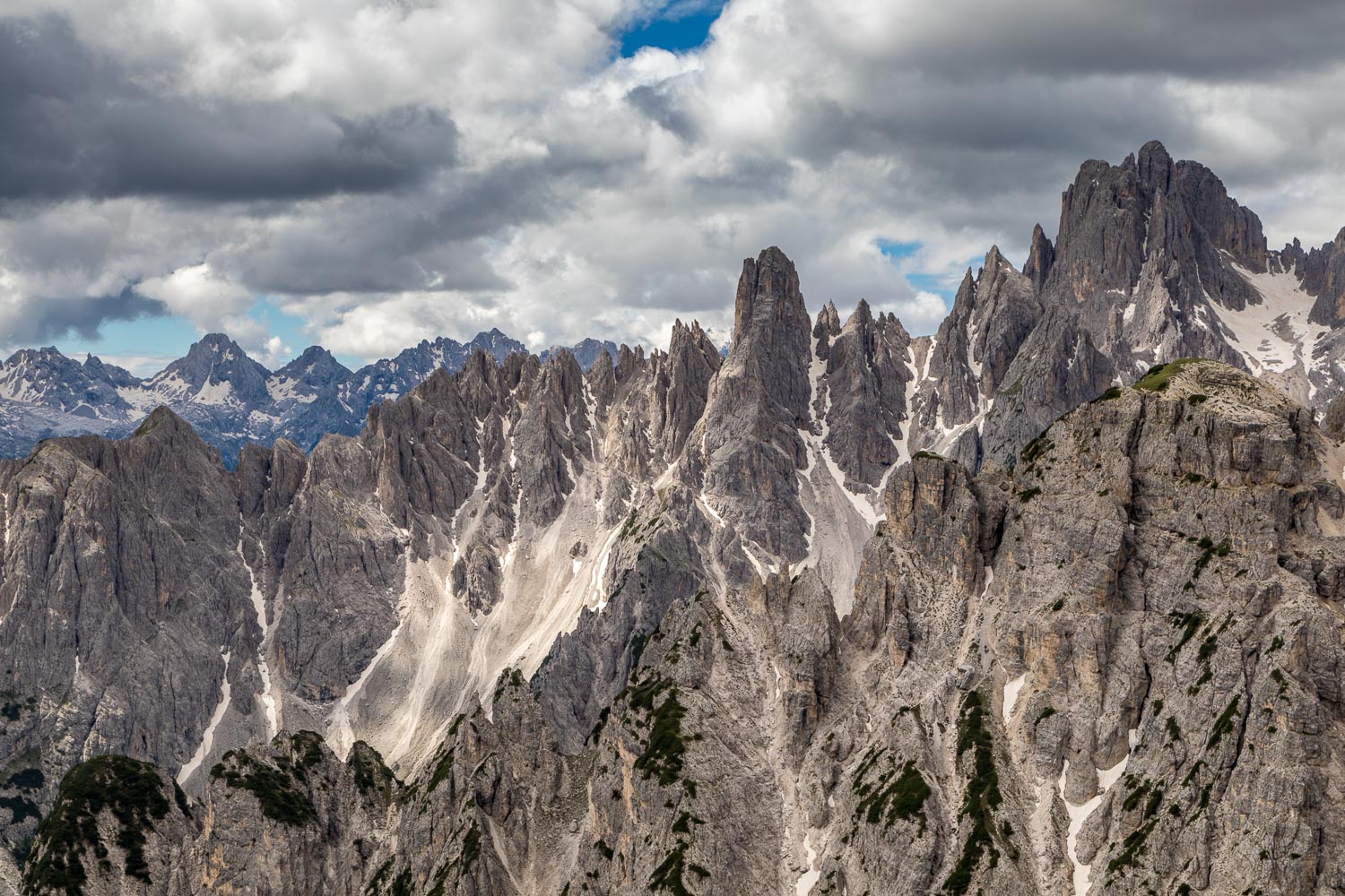
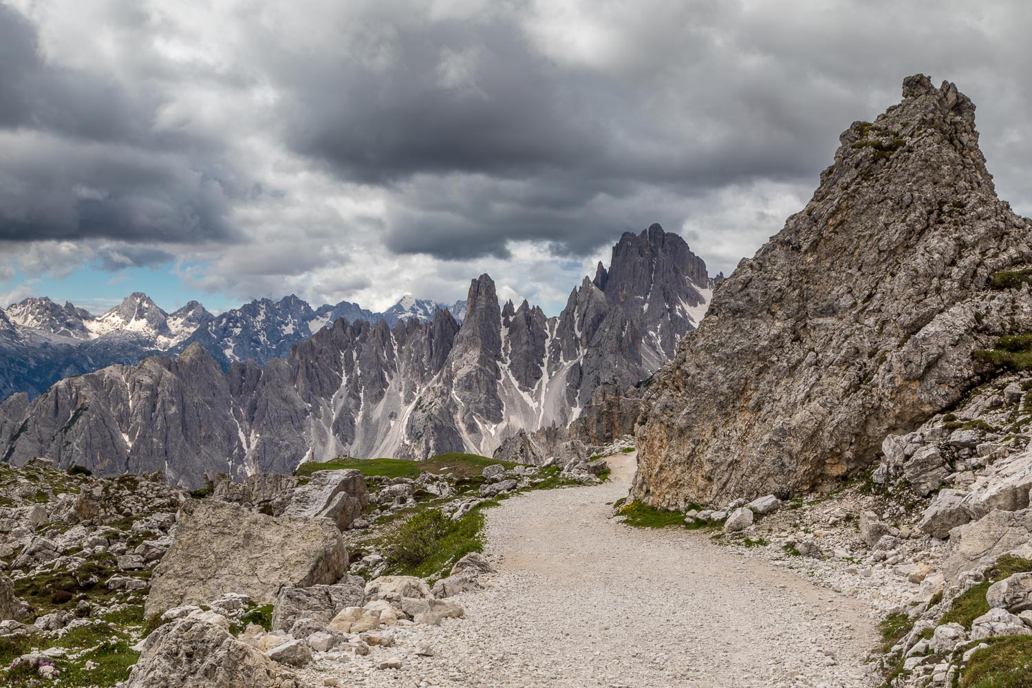
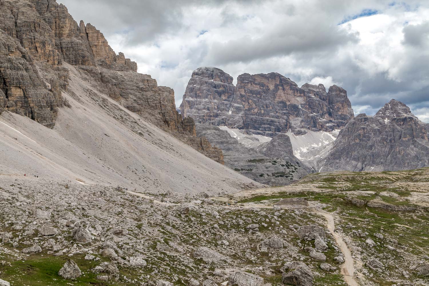
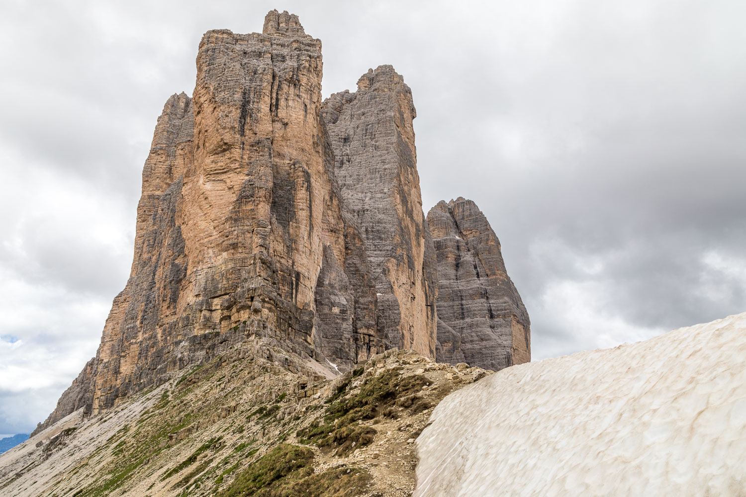
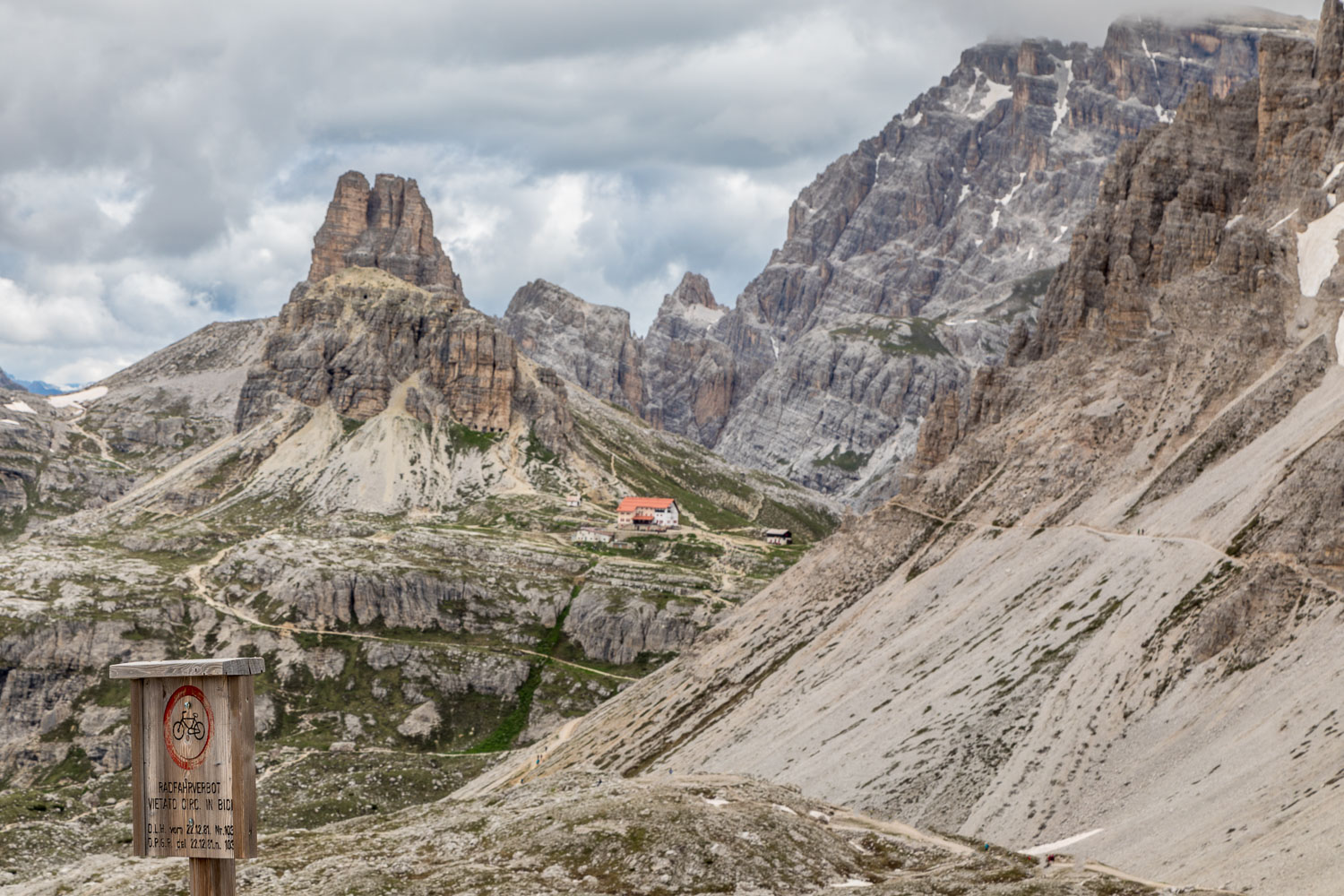
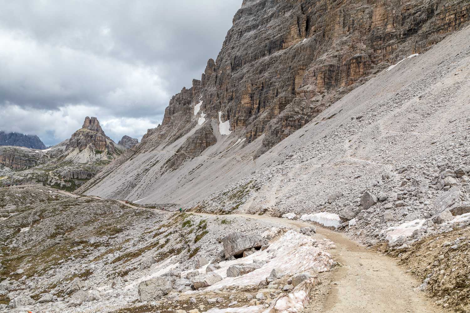
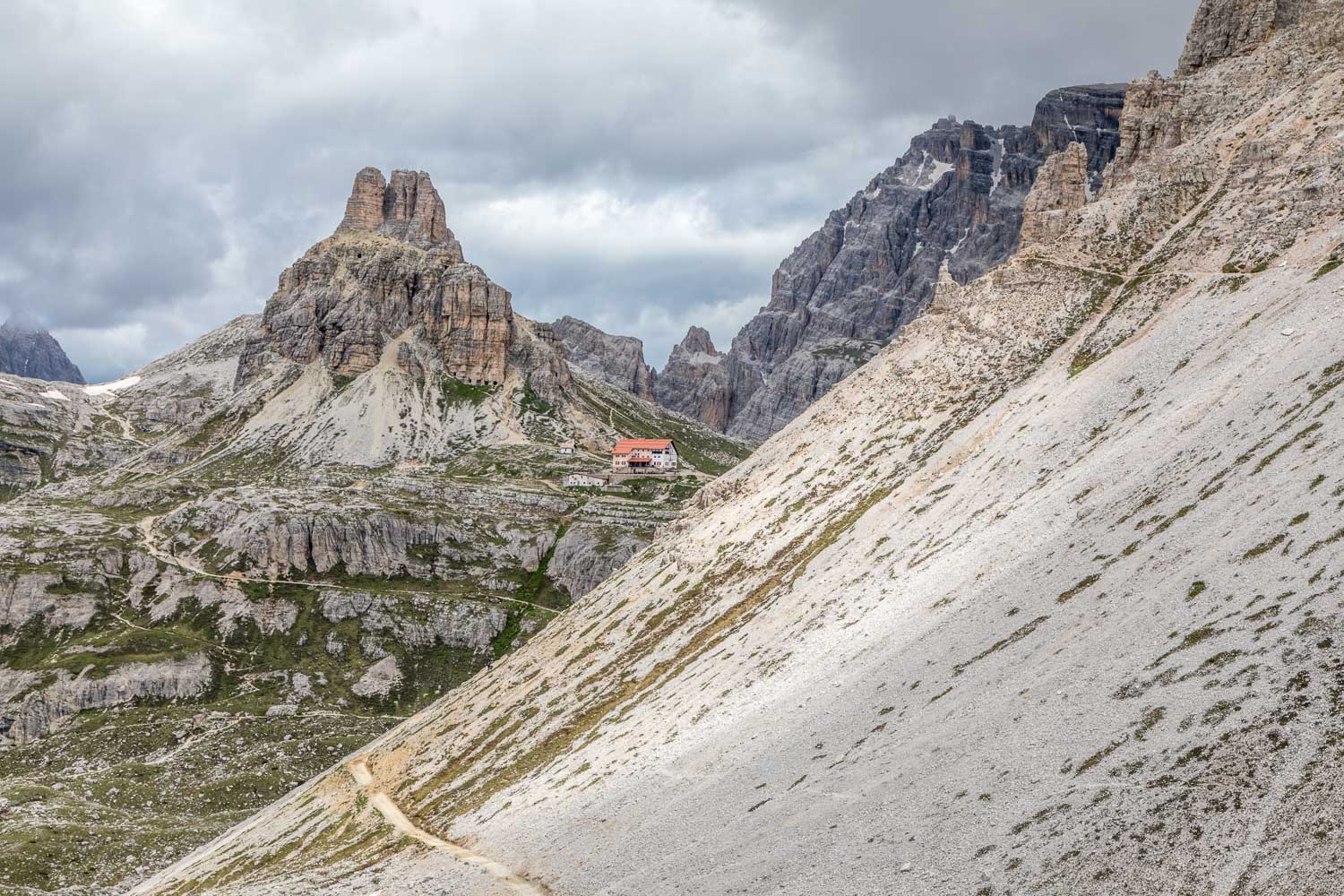
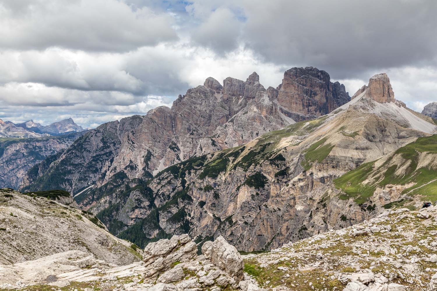
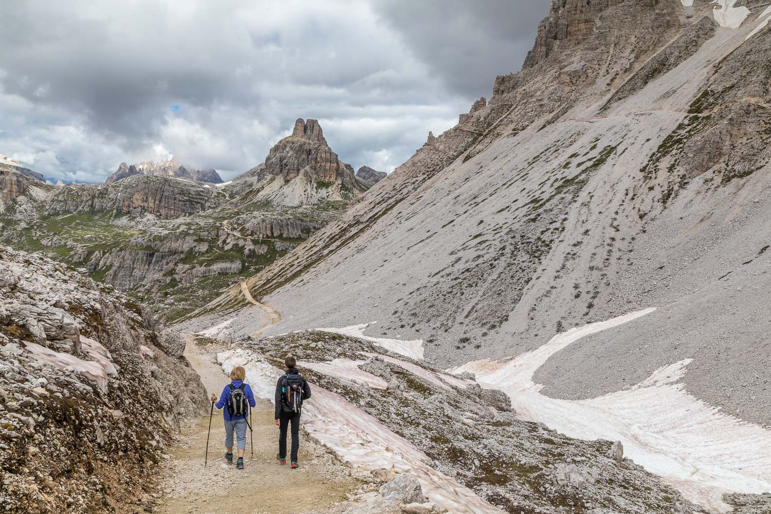
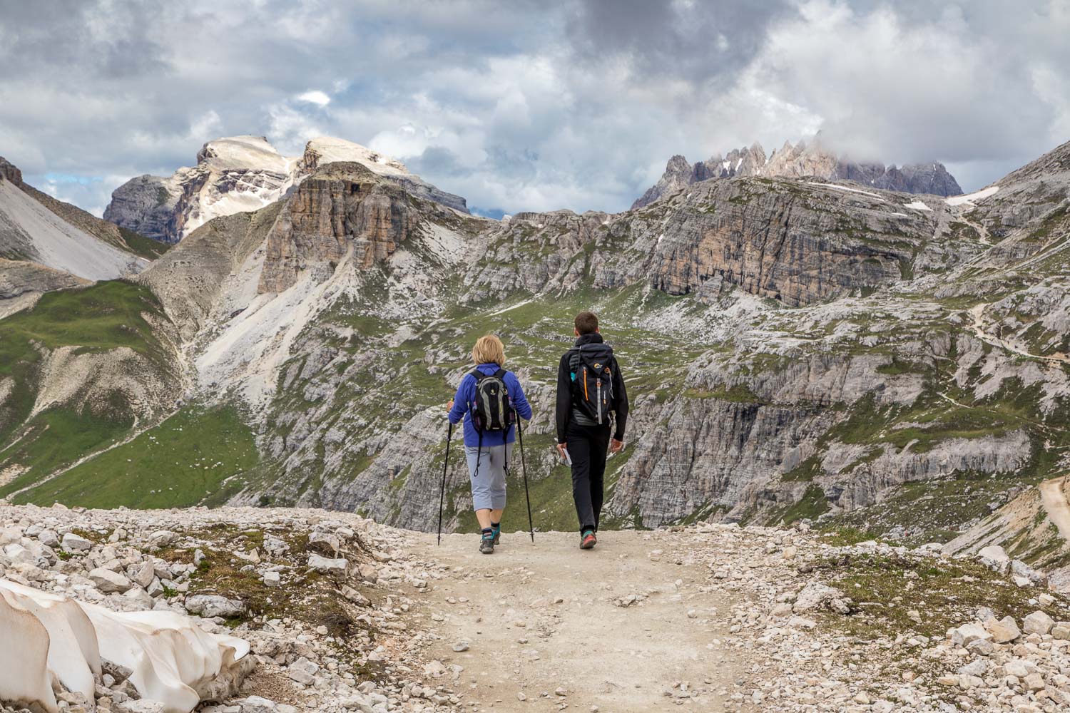
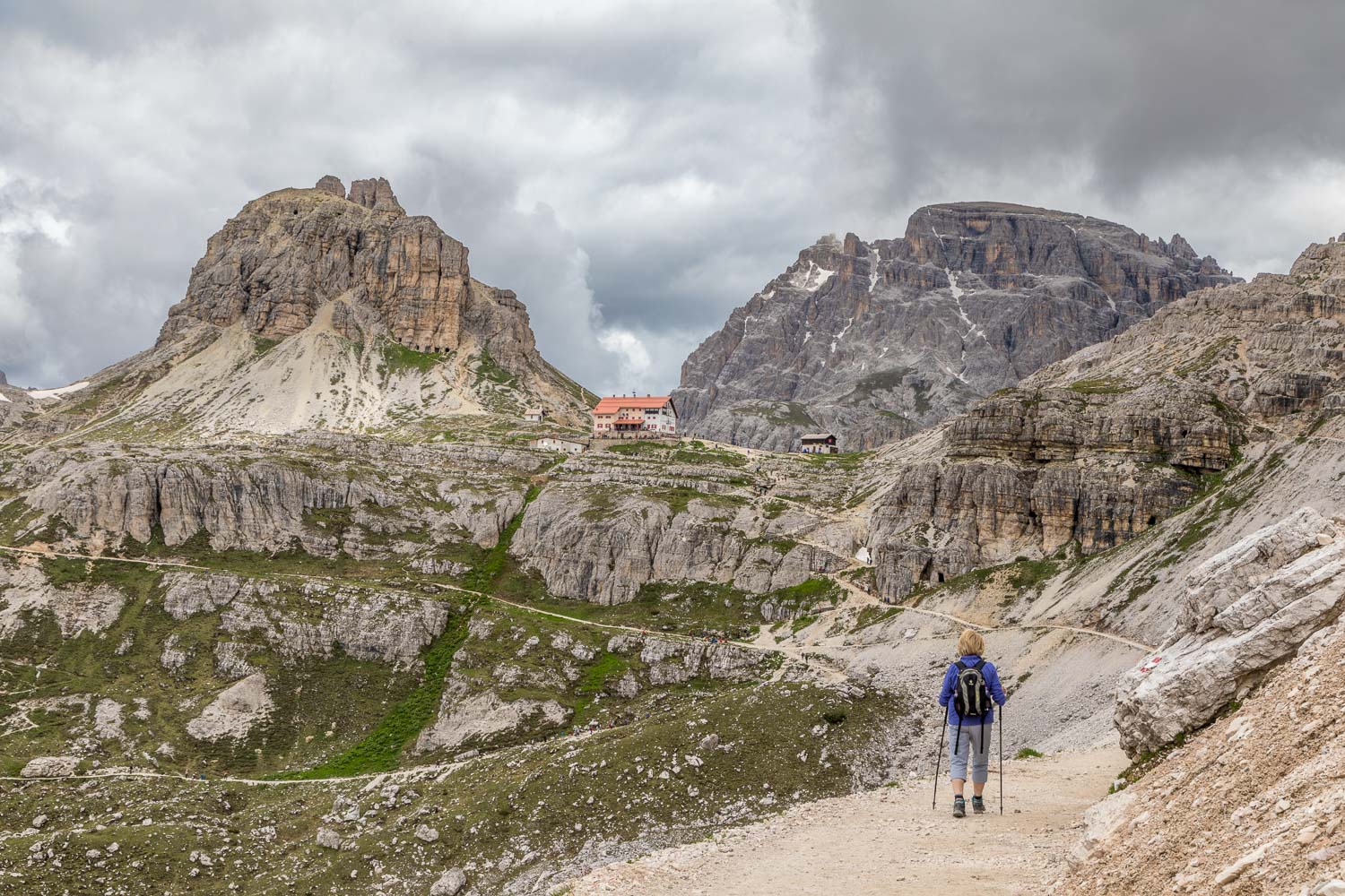
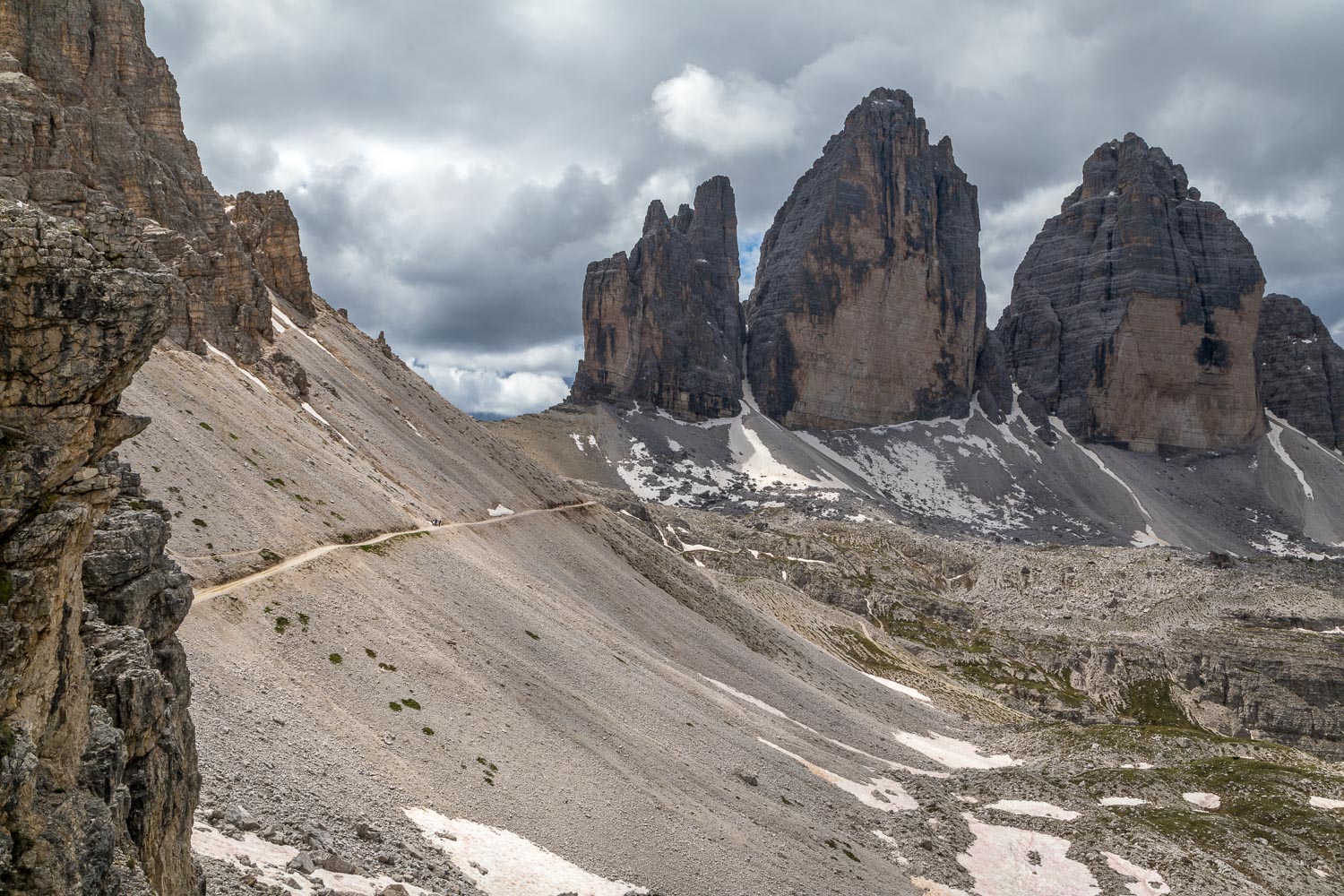
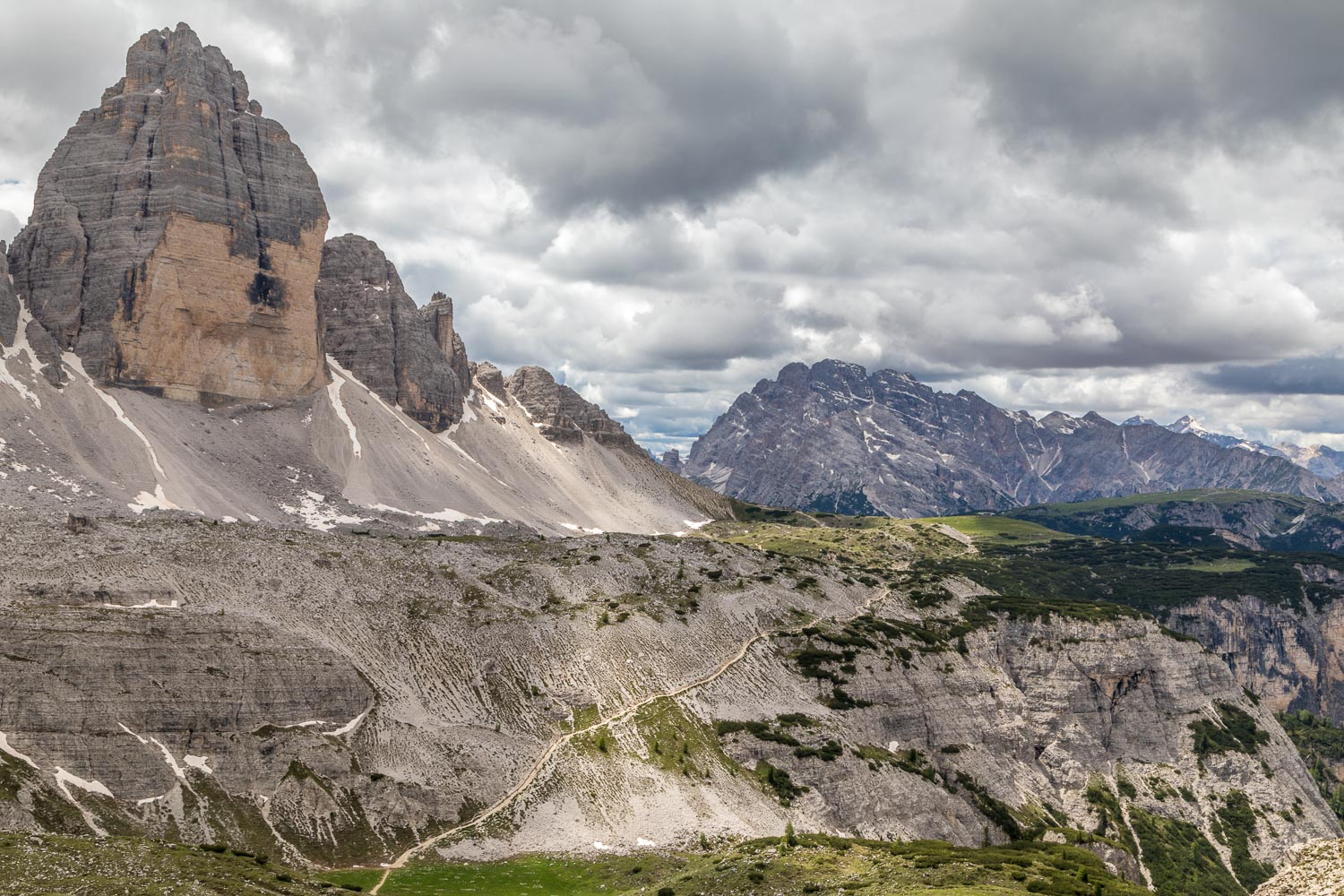
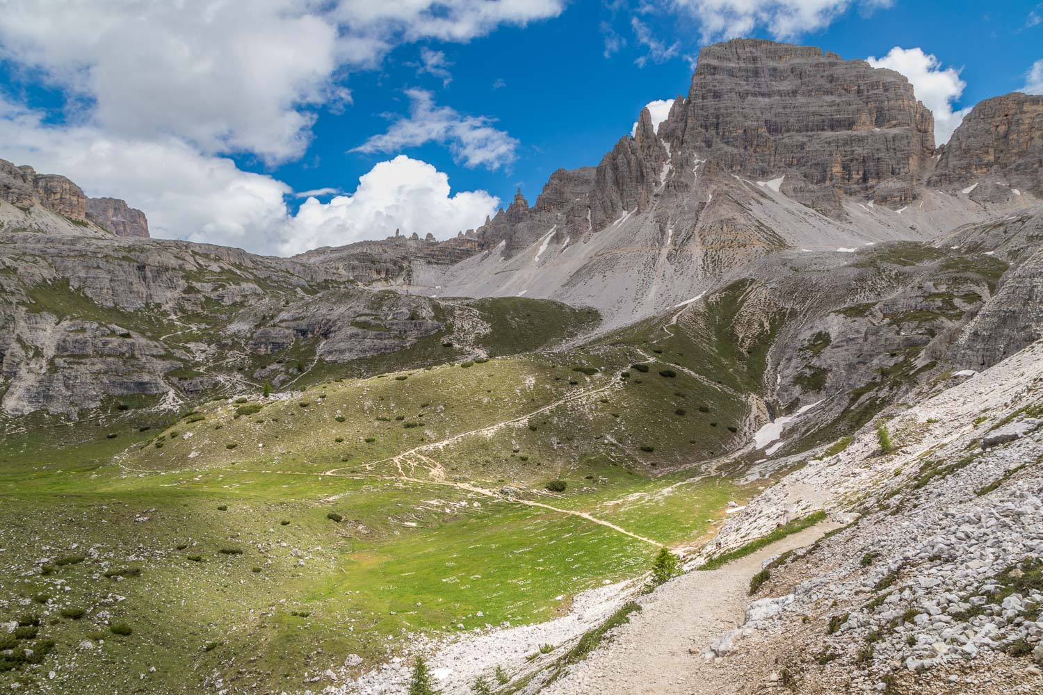
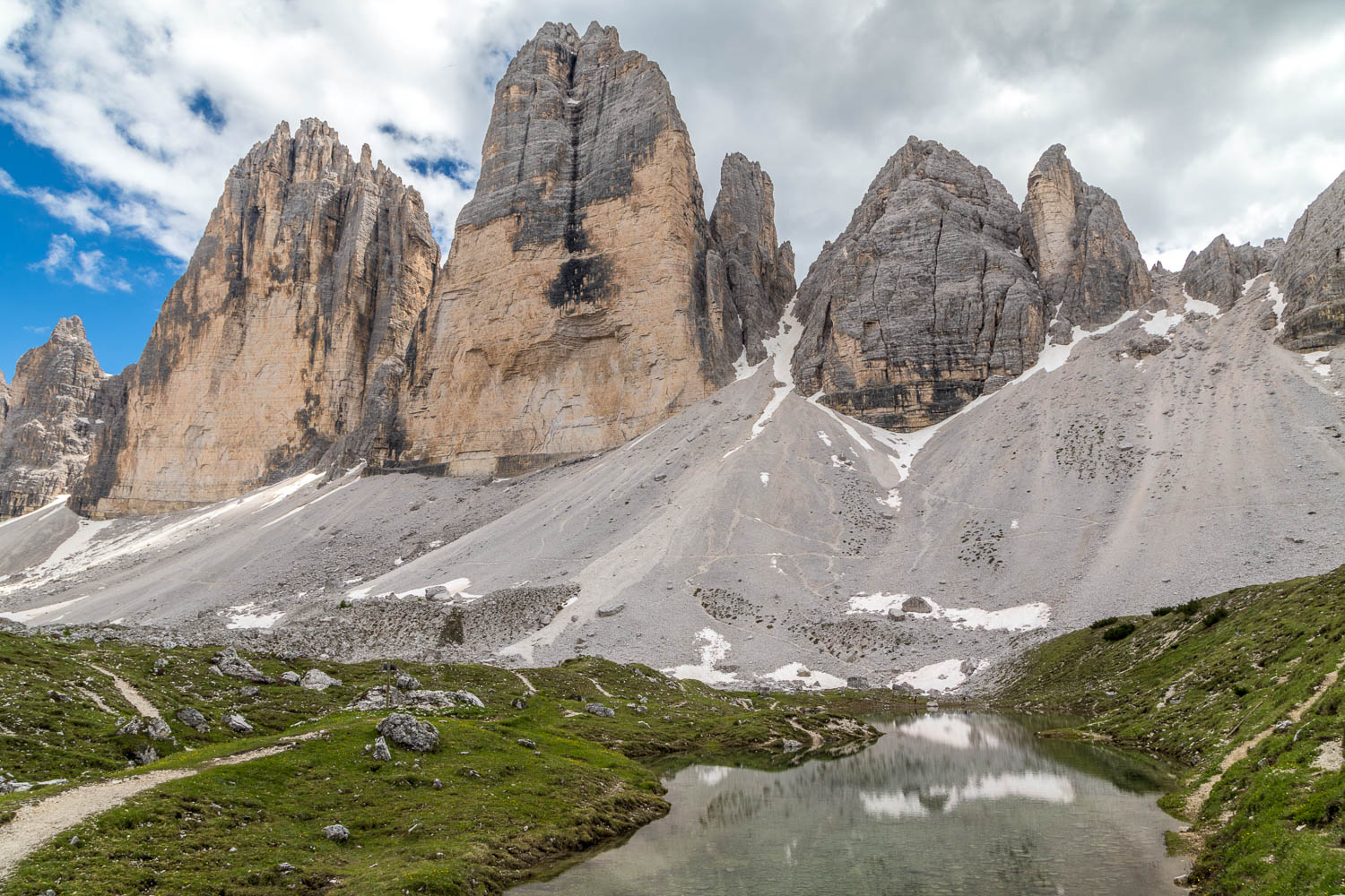
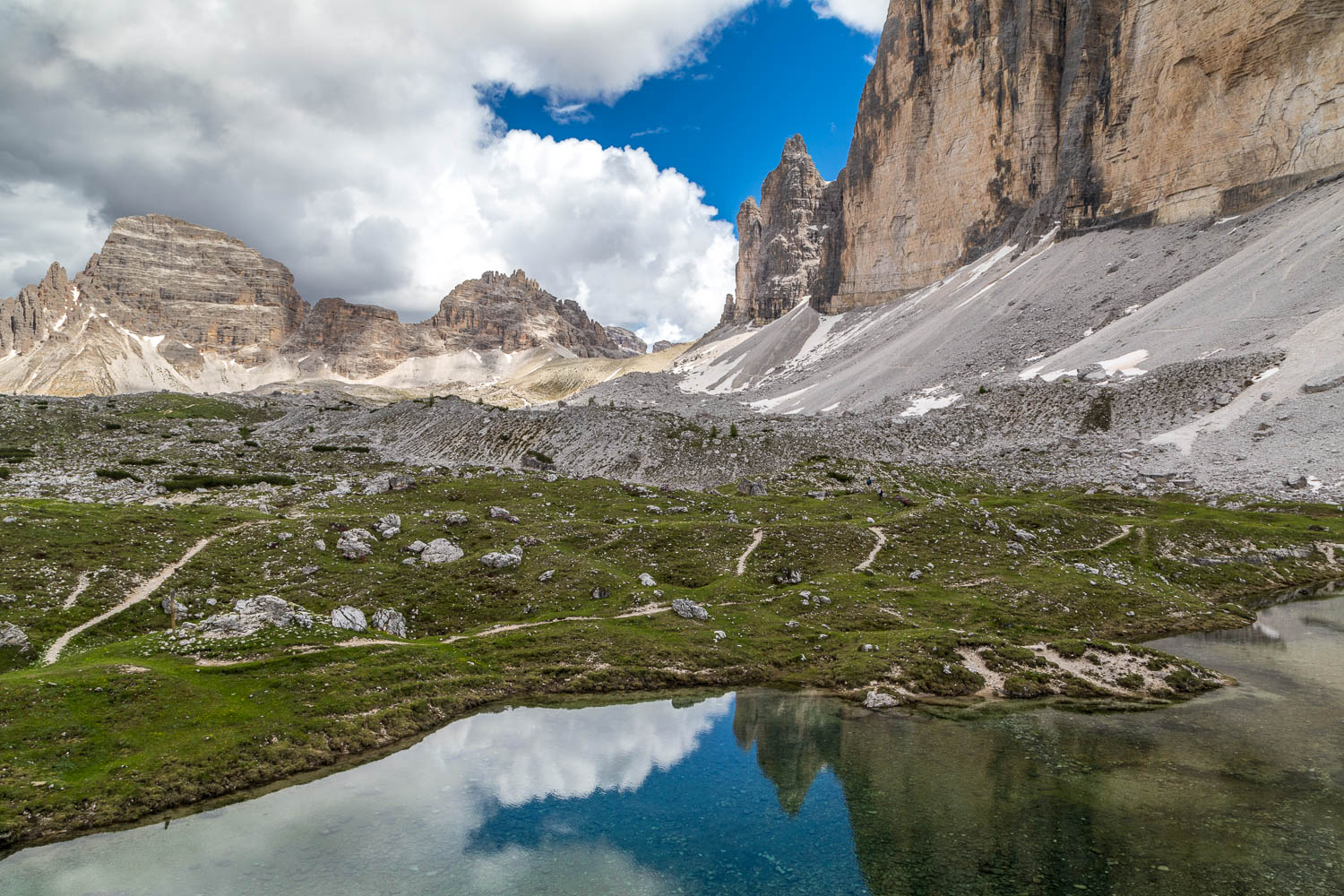
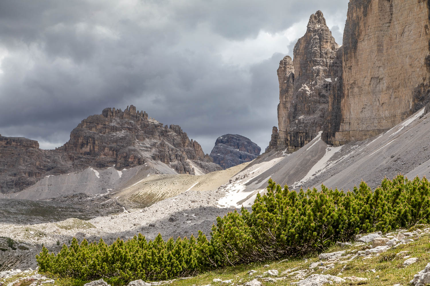
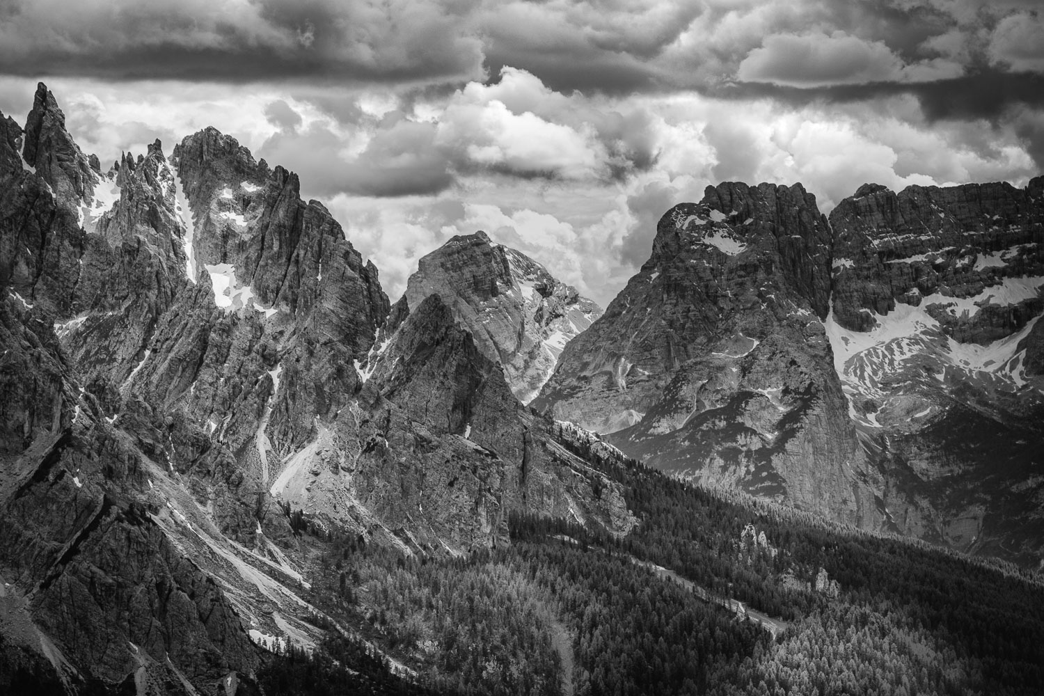
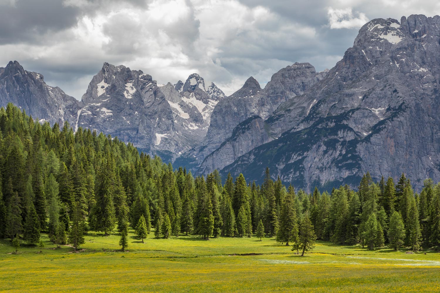
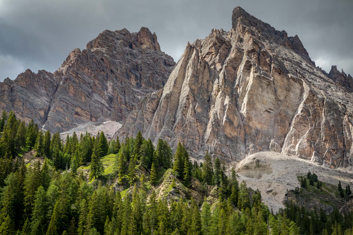
This minor grumble aside, it was a highly spectacular walk with huge views in all directions. The Tre Cime are not well seen at first as the path runs directly beneath them, but nearer the Rifugio Locatelli there are wonderful views of the spectacular sheer faces of the group. Our arrival at the Rifugio marked the furthest point of the walk, and from here there followed a descent to the lovely undulating Pian da Ria basin with superb views of the Tre Cime ahead of us
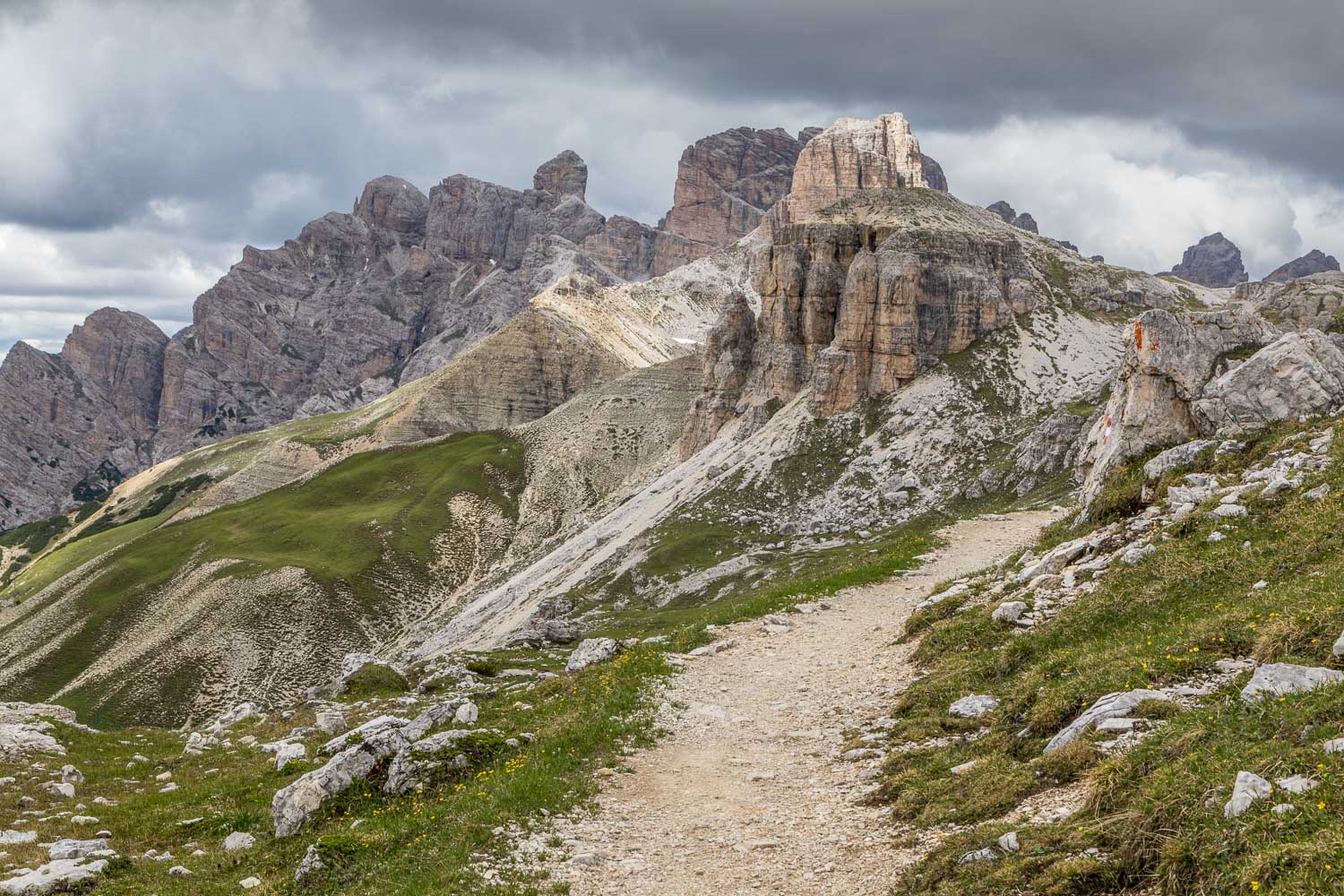
We then ascended a path from the basin to Forcella Col di Mezzo, at which point it started raining and so we wasted no time in completing the final stretch back to the start. We were glad to have visited this amazing place and had no regrets at all. For anyone else following this route, and seeking peace and solitude amidst awesome scenery, I’d recommend coming out of season, or arriving very early in order to avoid the crowds
Click on the icon below for the route map
Scroll down – or click on any photo to enlarge it and you can then view as a slideshow
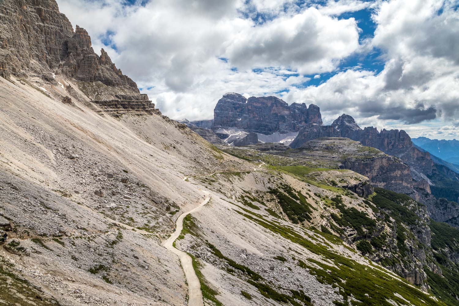
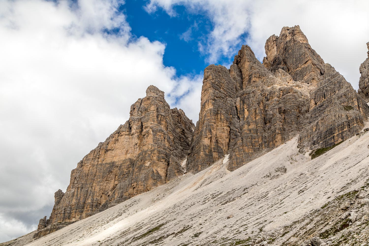
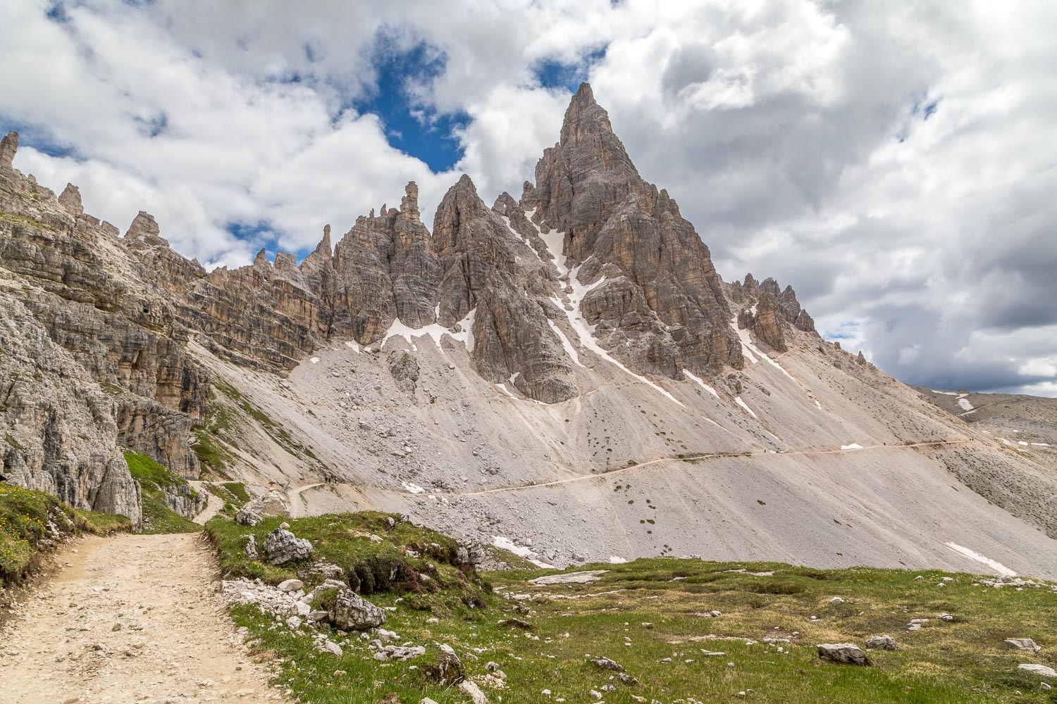
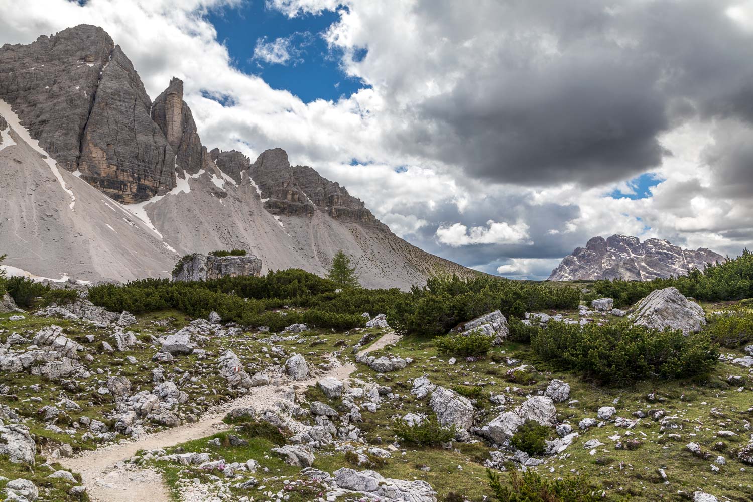
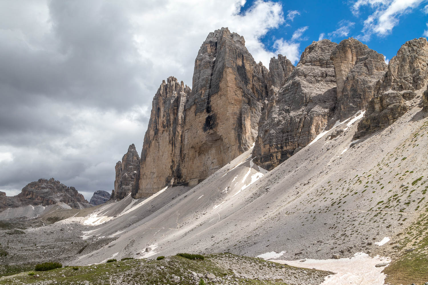
we leave the car park to follow a path running along the foot of the Tre Cime - not well seen from here as we are too close to them
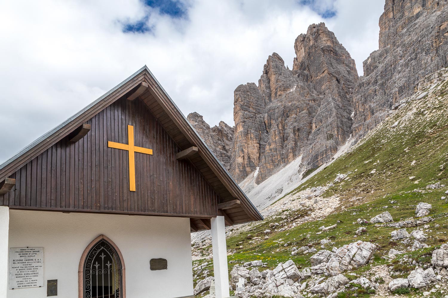
A small commemorative chapel for the alpine forces - the area was involved in WW1 and the the caves seen later on are a reminder of the fighting which went on here
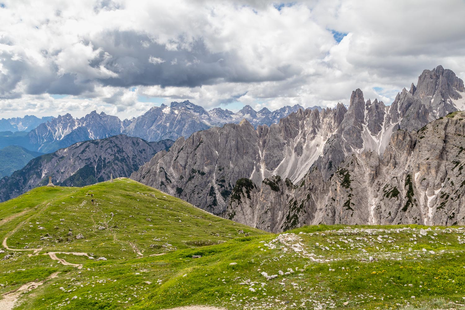
Looking down to two WW1 memorial stones. In this wild landscape Austro-Hungarian and Italian soldiers fought each other from 1915-1917
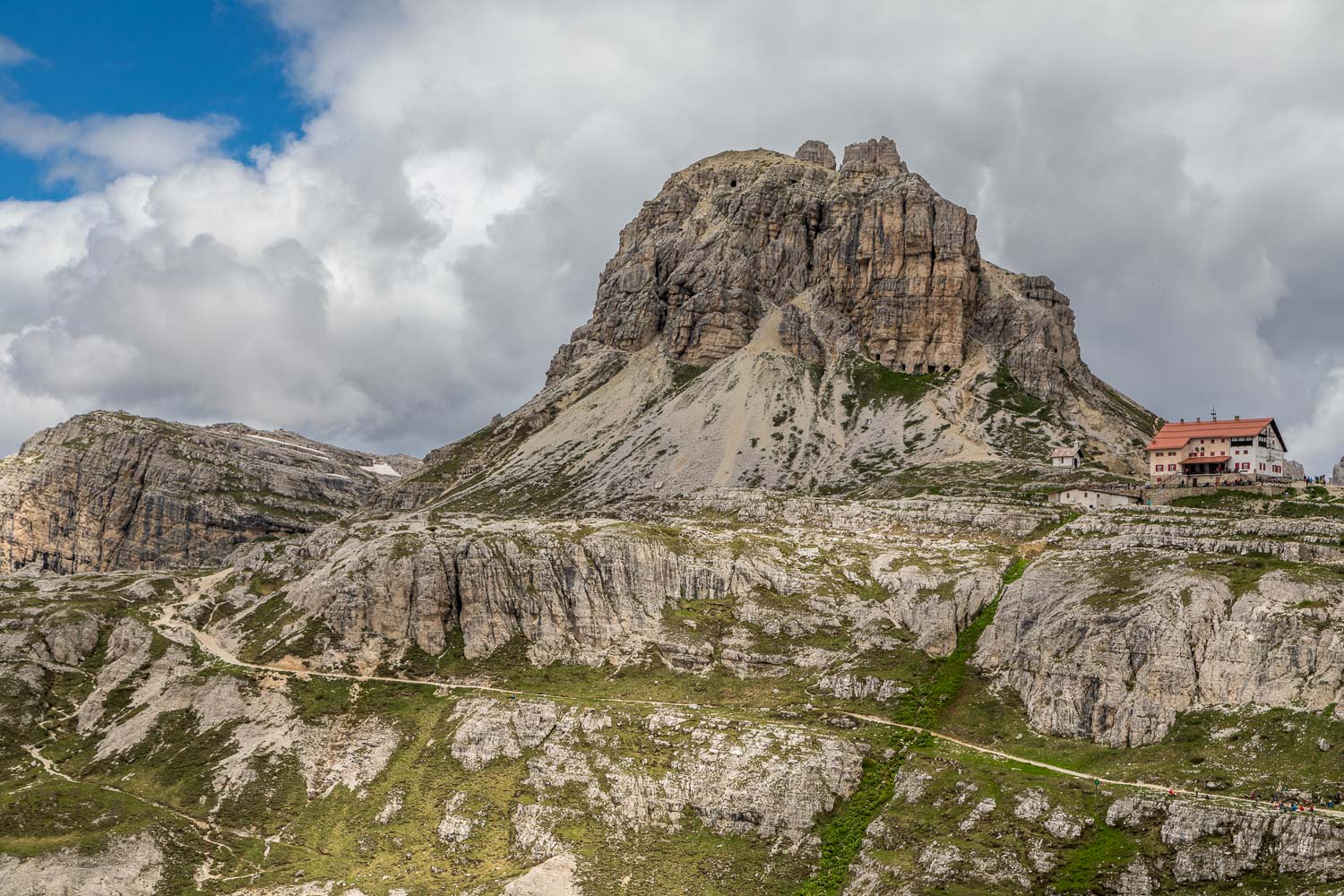
A series of caves just above and to the left of the refuge may be visited, but we passed by without stopping as there were too many folk about
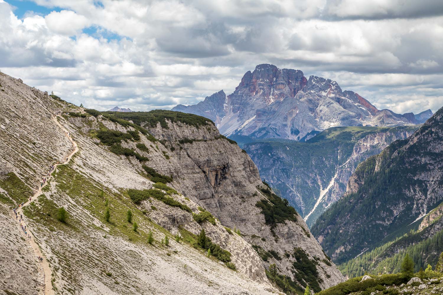
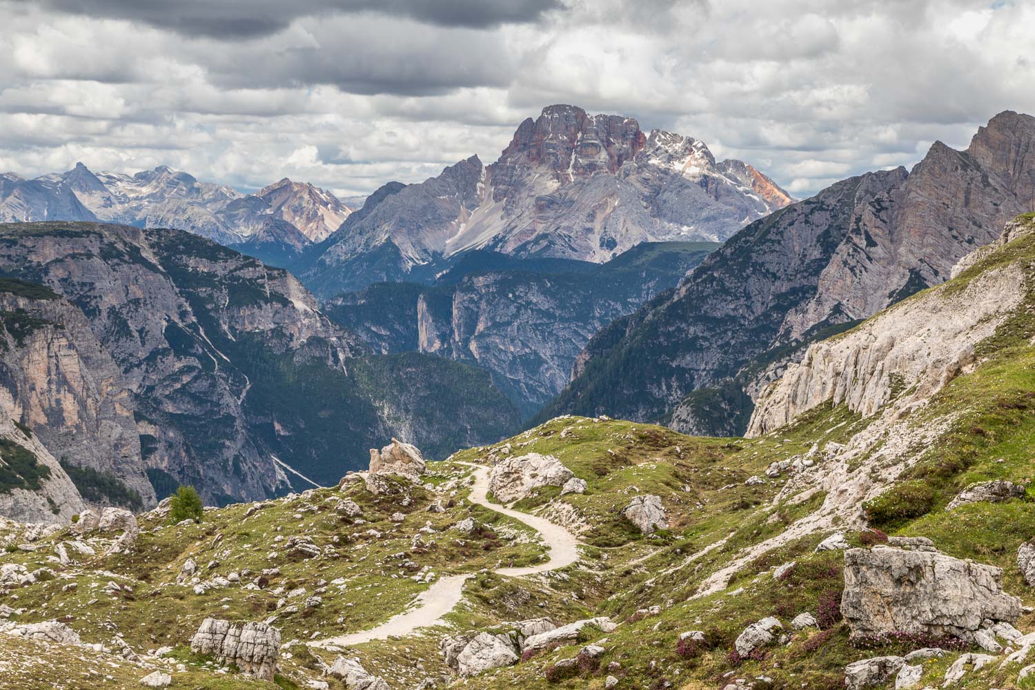
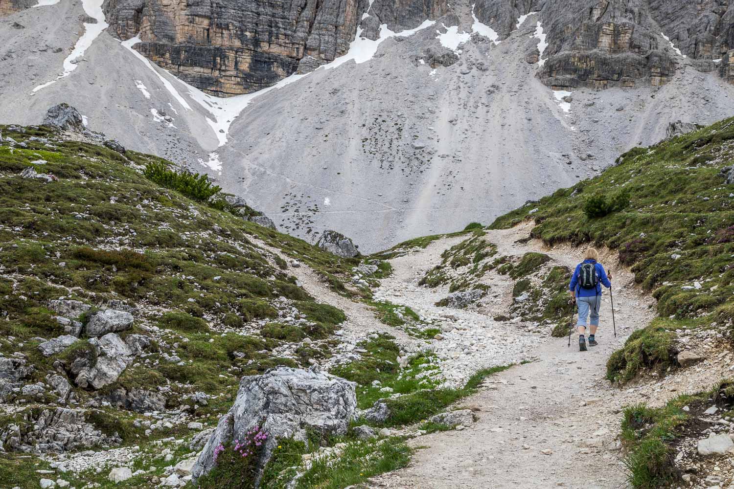
Looking down to the ascent back to the start, where we had to overtake several very large and noisy groups of walkers, making this section of the walk unsatisfactory
