Route: Thixendale
Area: North Yorkshire and East Yorkshire Wolds
Date of walk: 20th April 2013
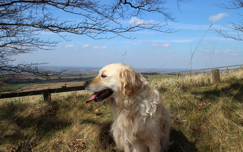
Walkers: Andrew and Gilly
Distance: 10.6 miles
Ascent: 900 feet
The boundary between East and North Yorkshire bisects this route, which is a circular one starting from the remote village of Thixendale. We weren’t following a guidebook – the day before I’d simply joined up some dotted lines and paths on the OS map to make a circular walk from the village, and what a great route it proved to be
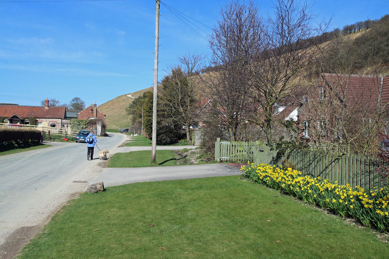
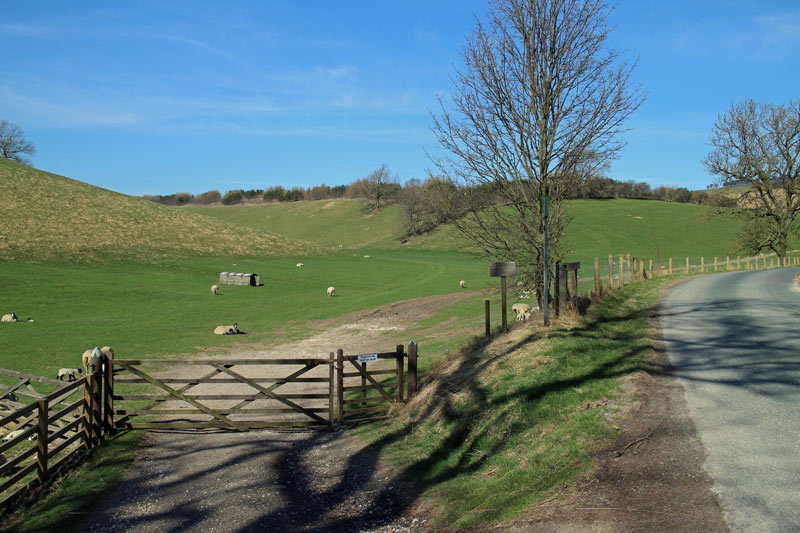
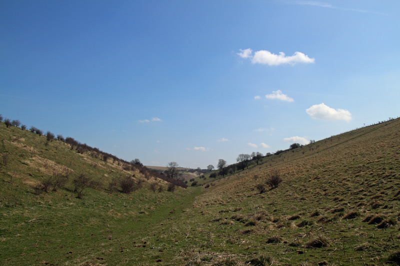
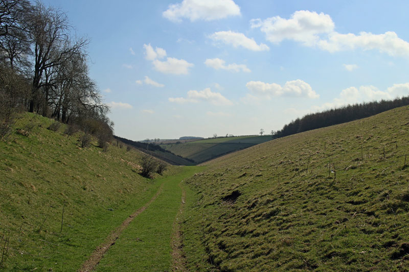
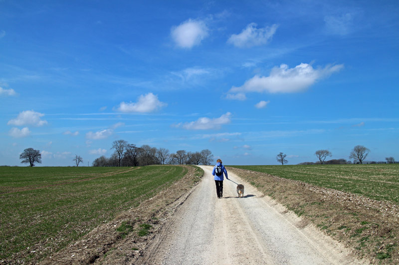
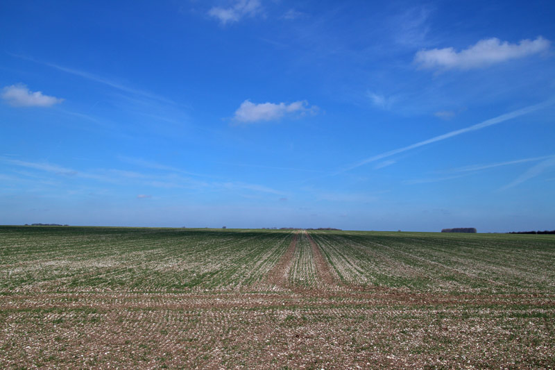
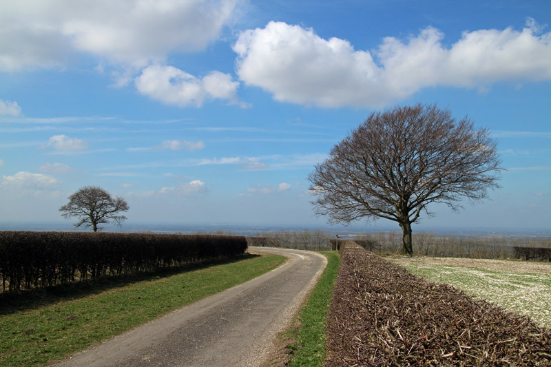
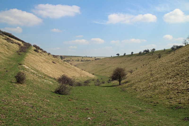
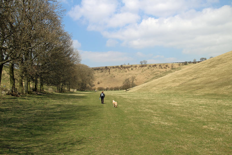
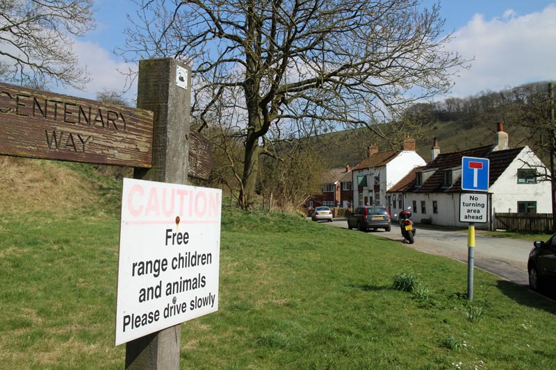
We parked next to the Cross Keys Inn and joined the Chalkland Way. The route took us along hidden valleys, quiet country lanes and through fields, until we eventually met the Yorkshire Wolds Way which took us back into Thixendale village.
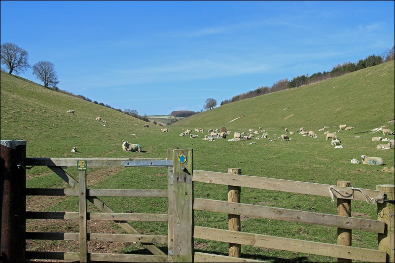
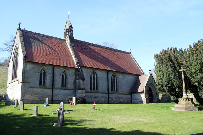
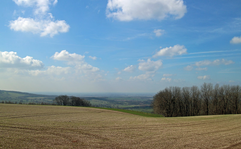
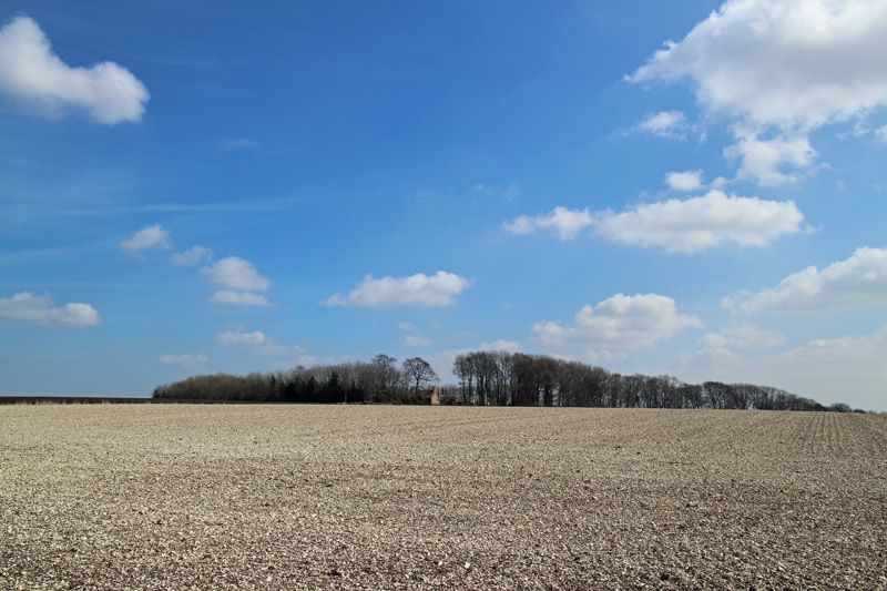
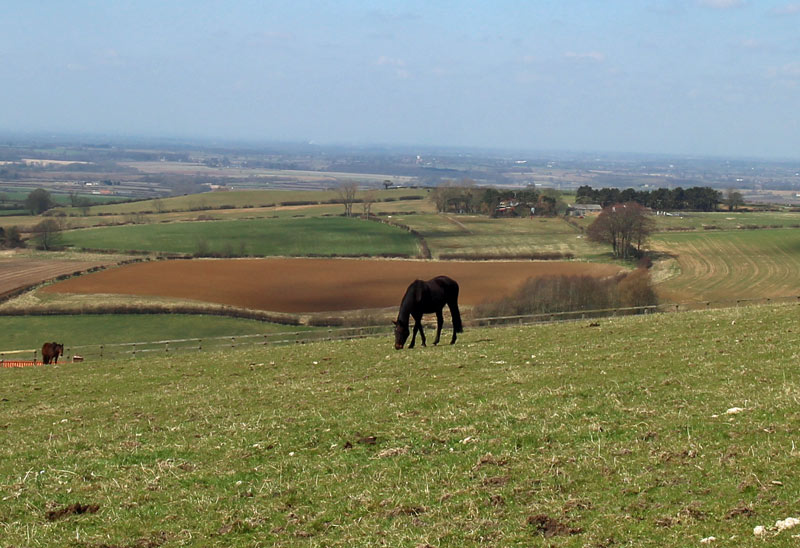
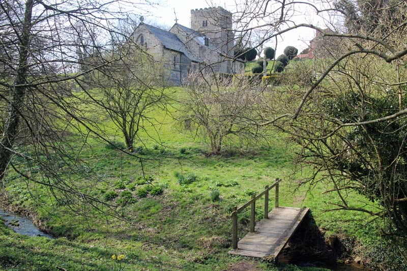
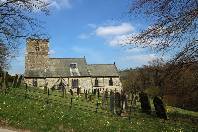
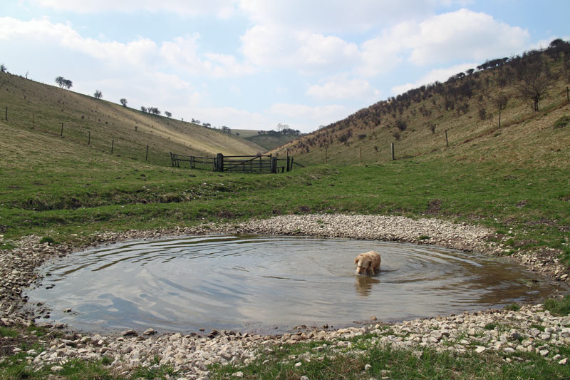
The scenery was varied and stunningly beautiful throughout. The weather was lovely too, and despite the fact that this was a Saturday we only saw two other couples along the way
This was a really memorable walk – no wonder David Hockney likes these parts
For other walks here, visit my Find Walks page and enter the name in the ‘Search site’ box
Click on the icon below for the route map (subscribers to OS Maps can view detailed maps of the route, visualise it in aerial 3D, and download the GPX file. Non-subscribers will see a base map)
Scroll down – or click on any photo to enlarge it and you can then view as a slideshow
