Route: High Sweden Bridge
Area: Central Lake District
Date of walk: 7th October 2020
Walkers: Andrew and Gilly
Distance: 3.4 miles
Ascent: 800 feet
Weather: Rained most of the time
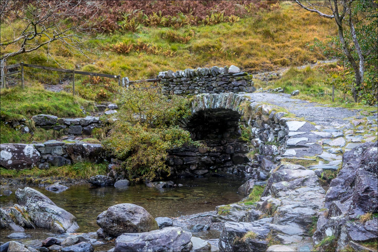
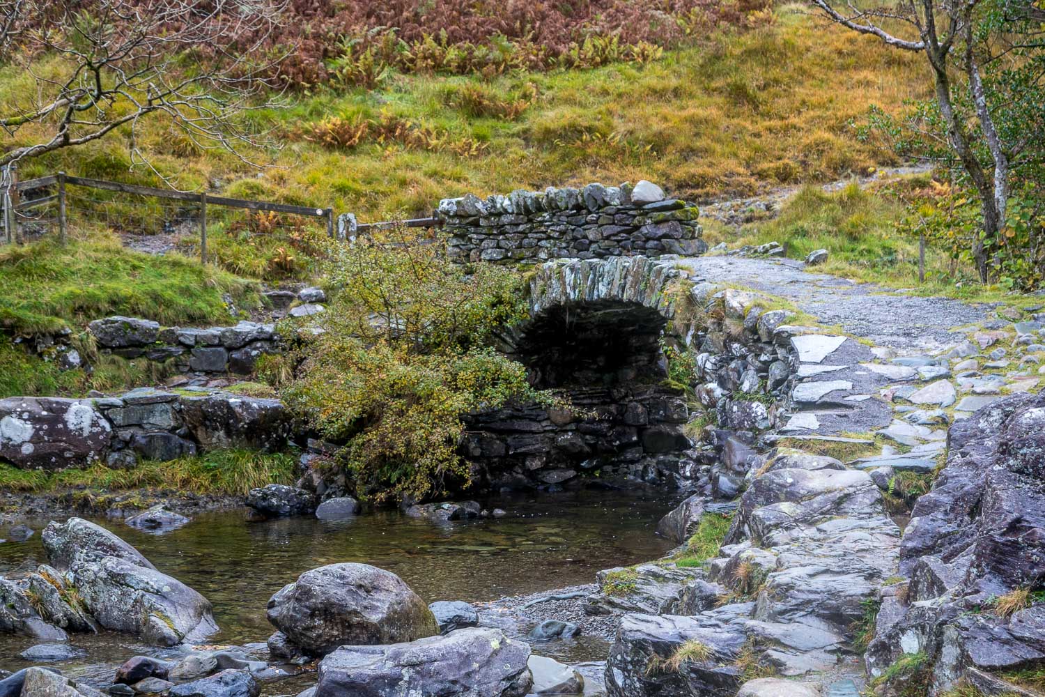
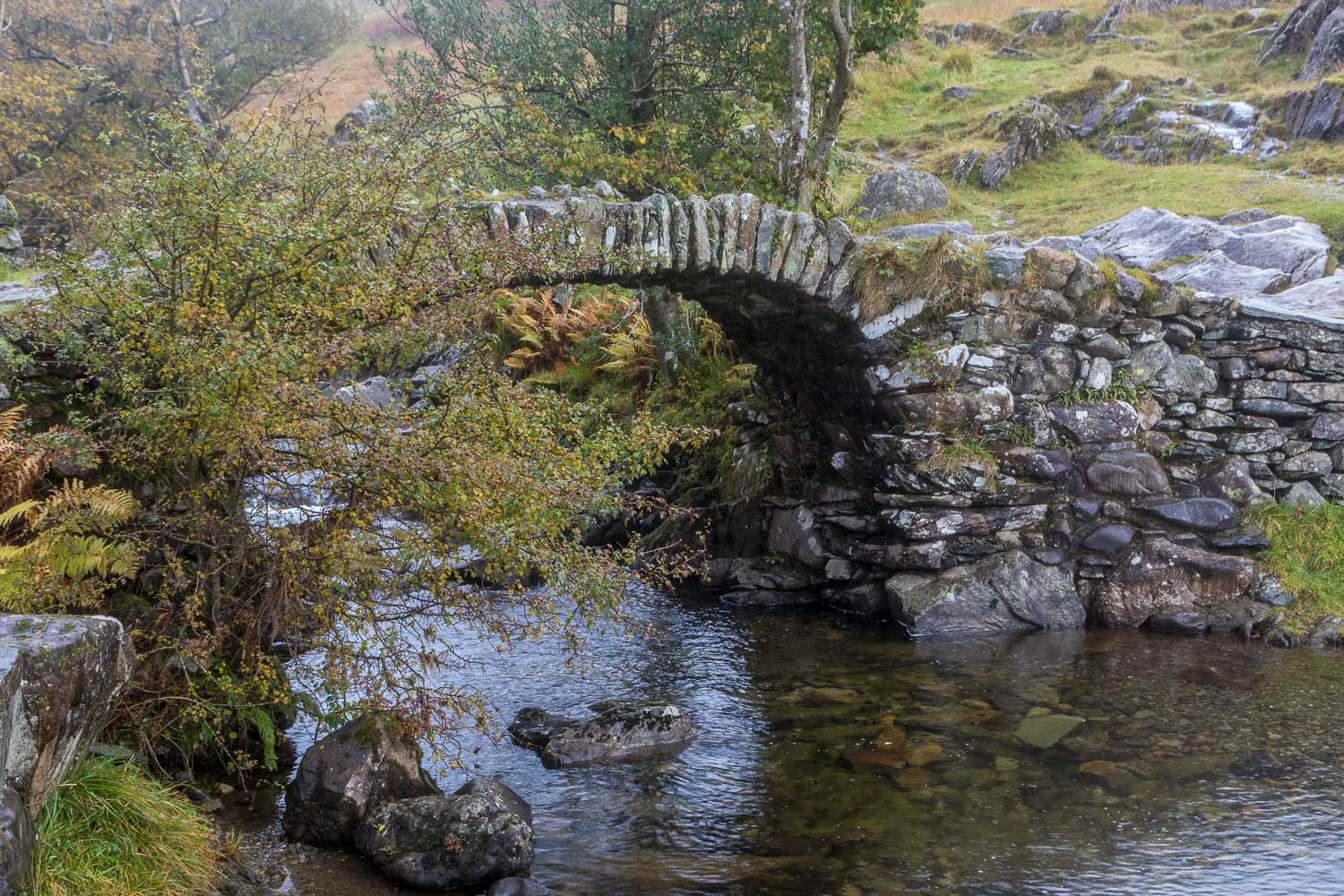
High Sweden Bridge is a fine example of a packhorse bridge and is several hundred years old. Its position, about 1 mile up the Scandale valley from Ambleside, makes it a good destination for a low level walk, although there is a steady ascent up the valley before the bridge is reached
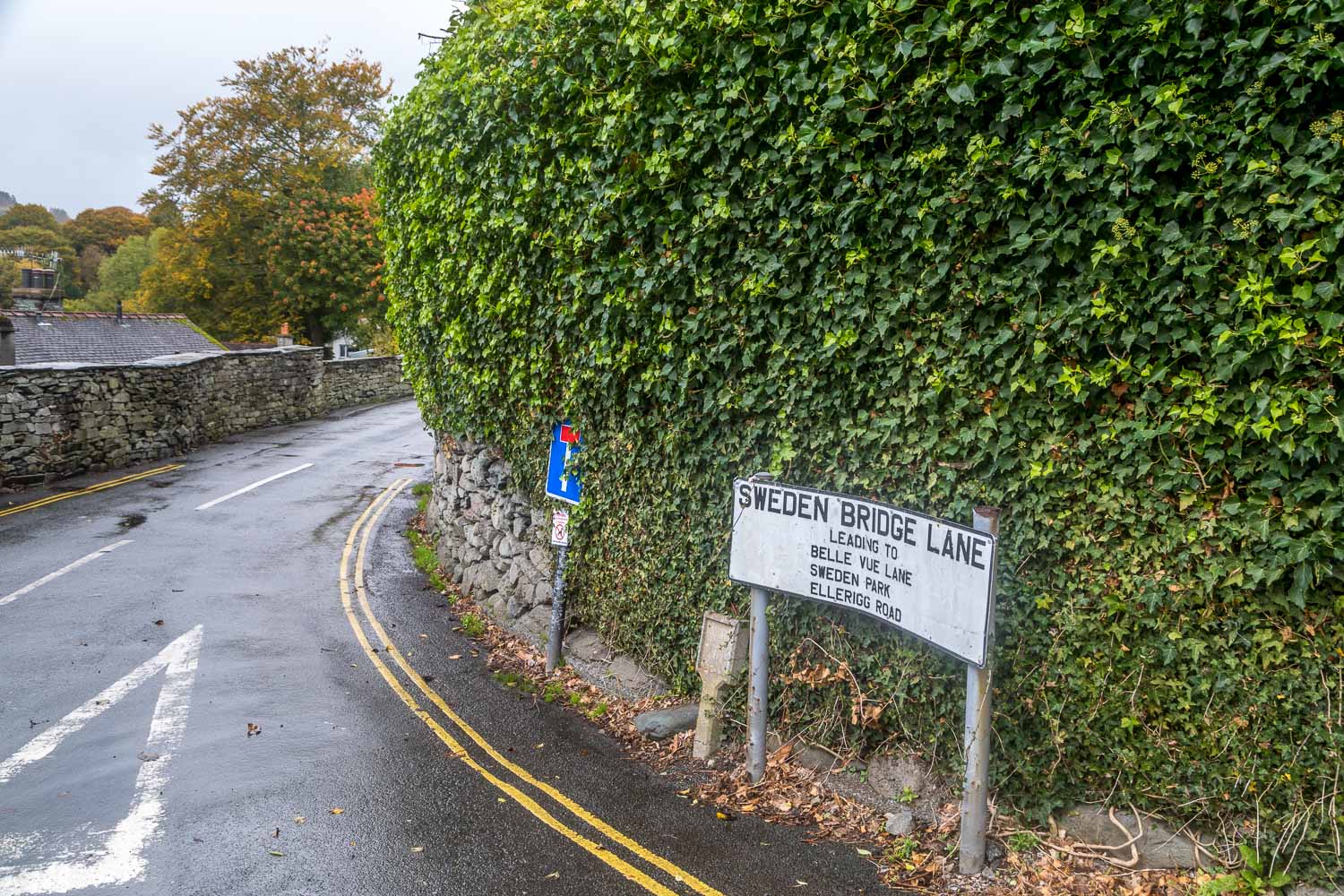
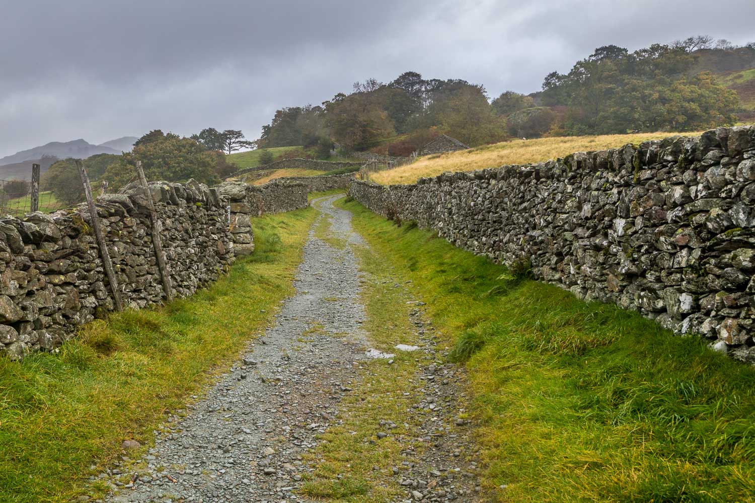
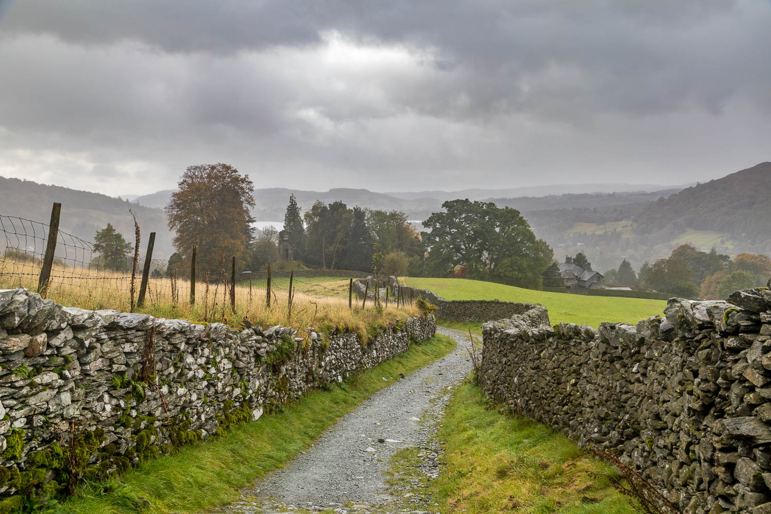
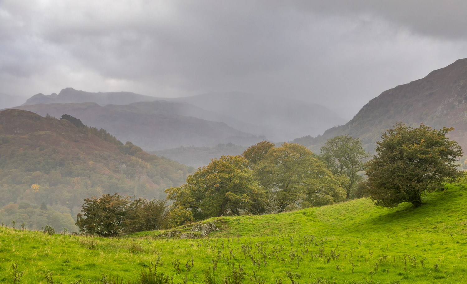
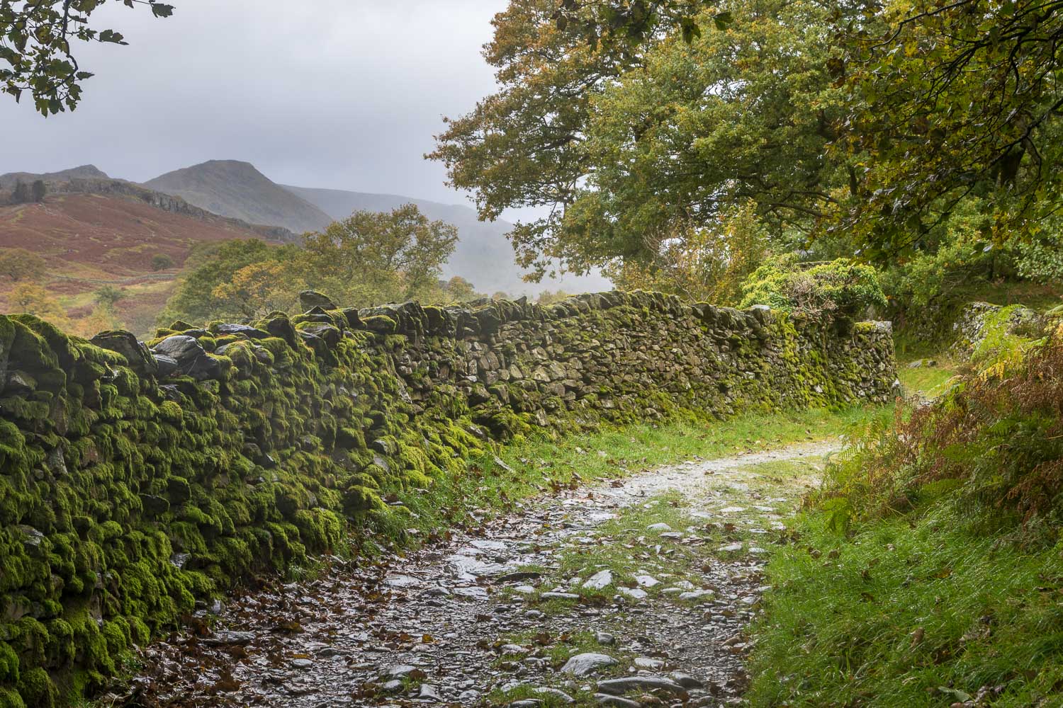
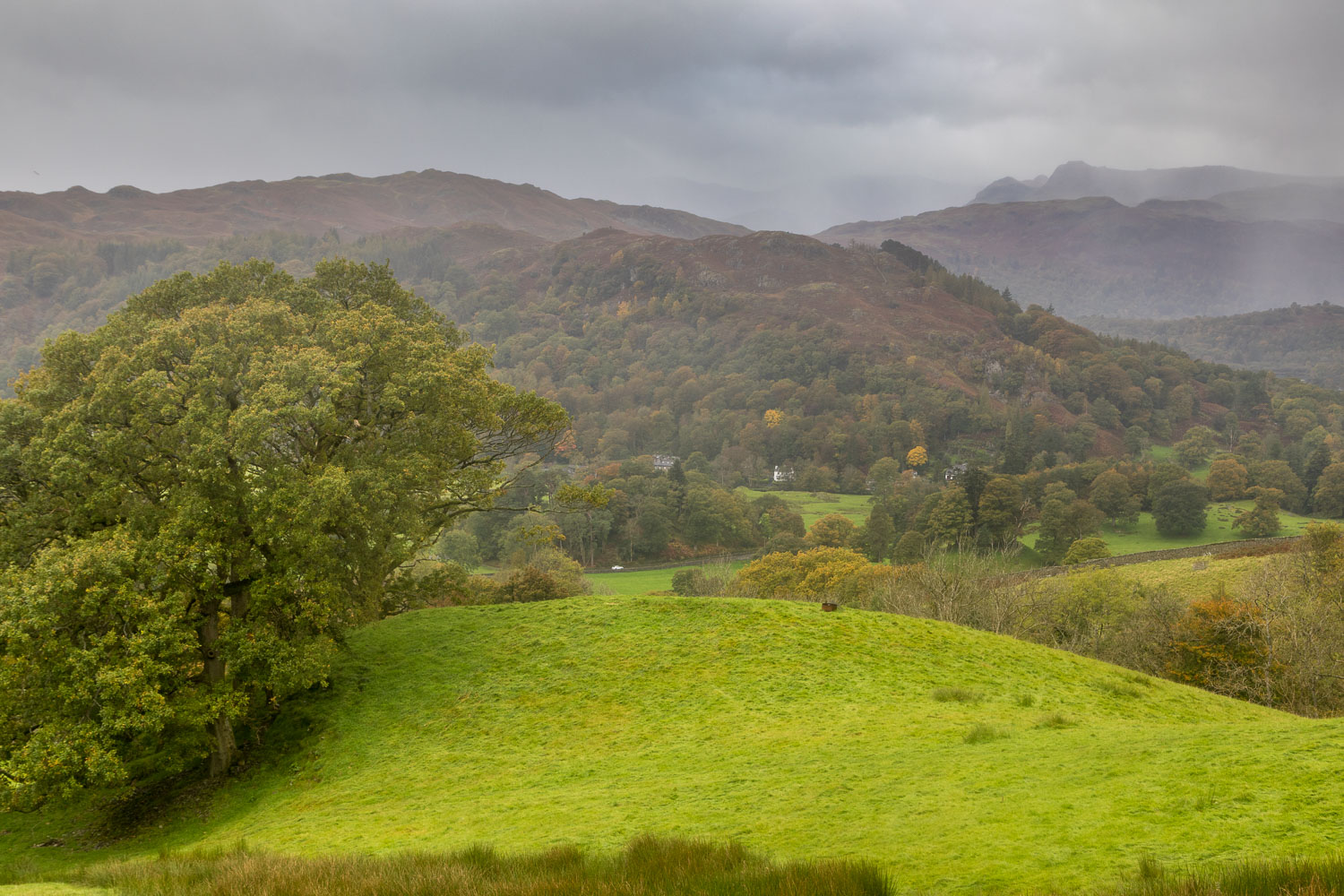
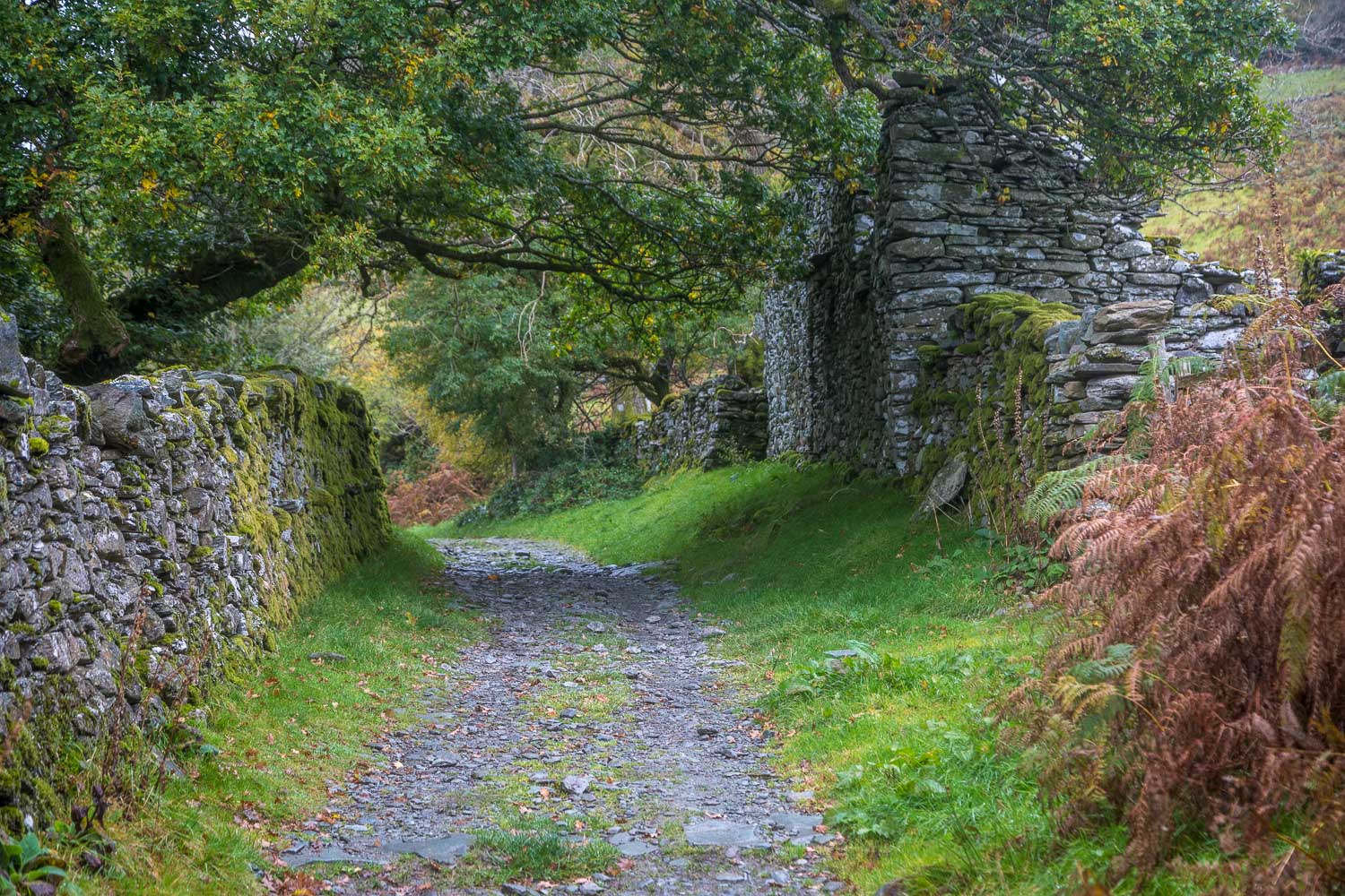
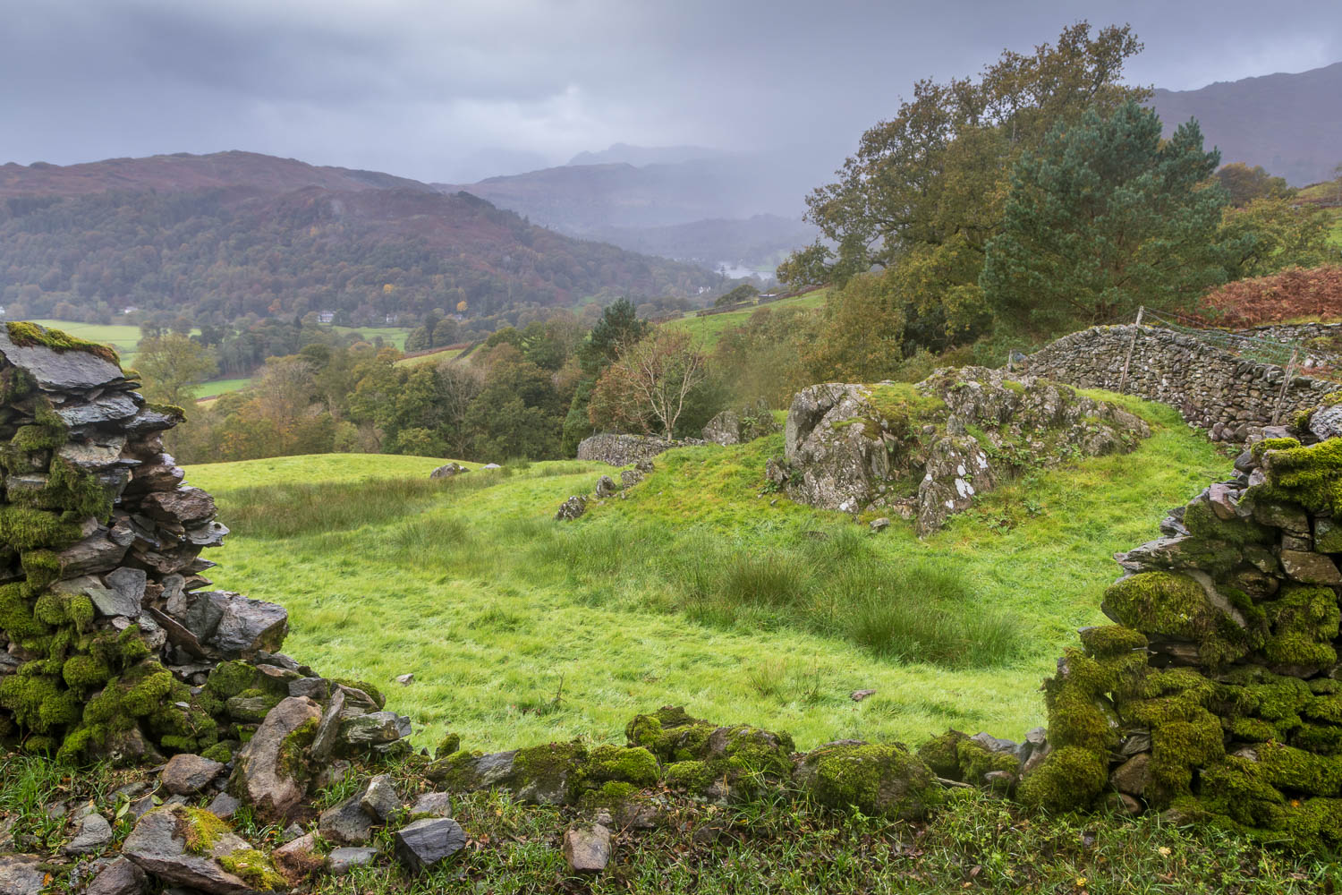
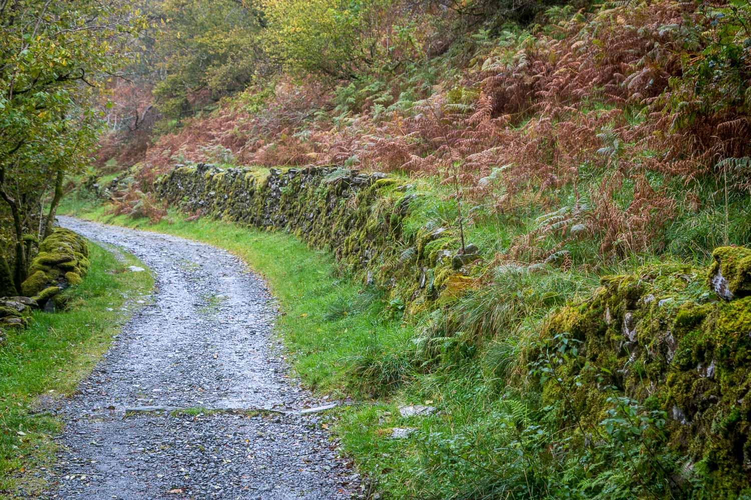
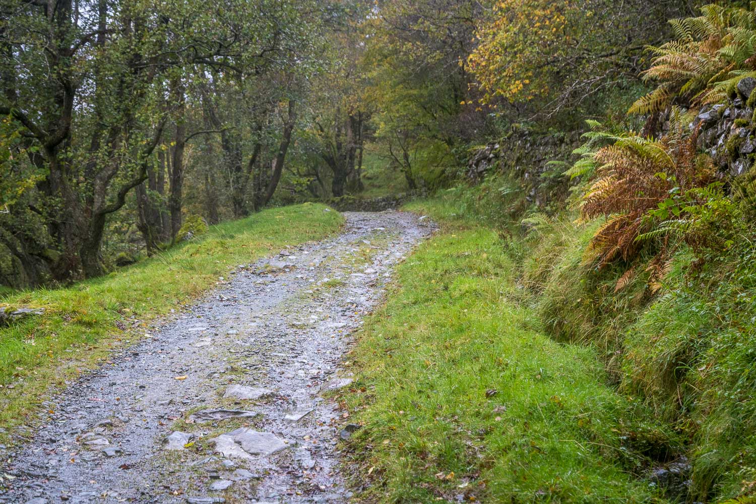
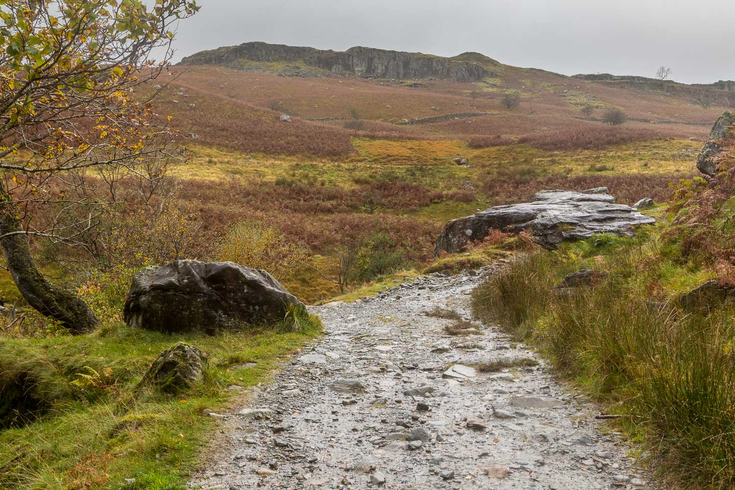
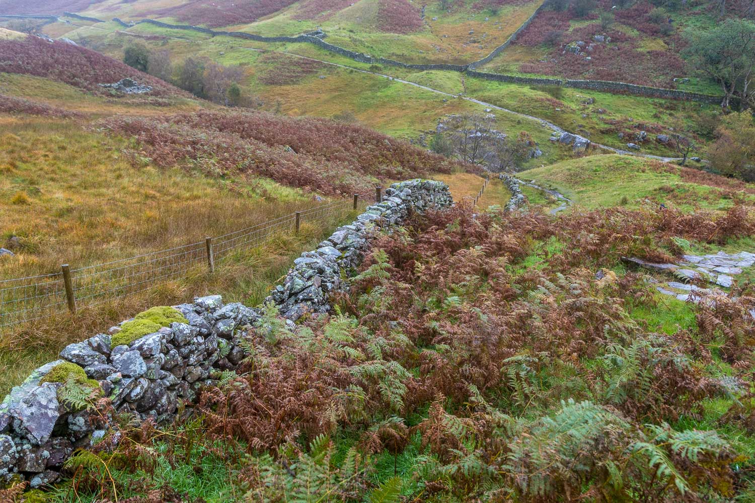
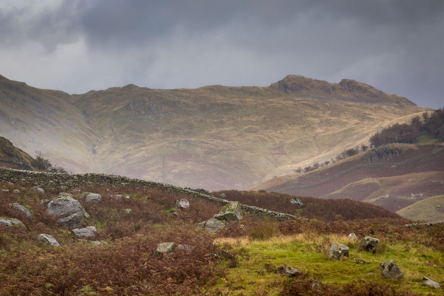
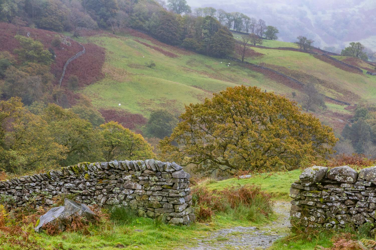
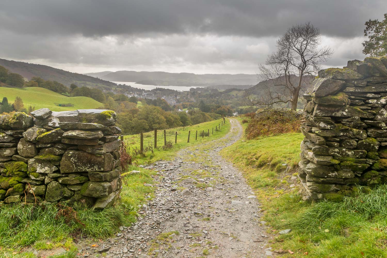
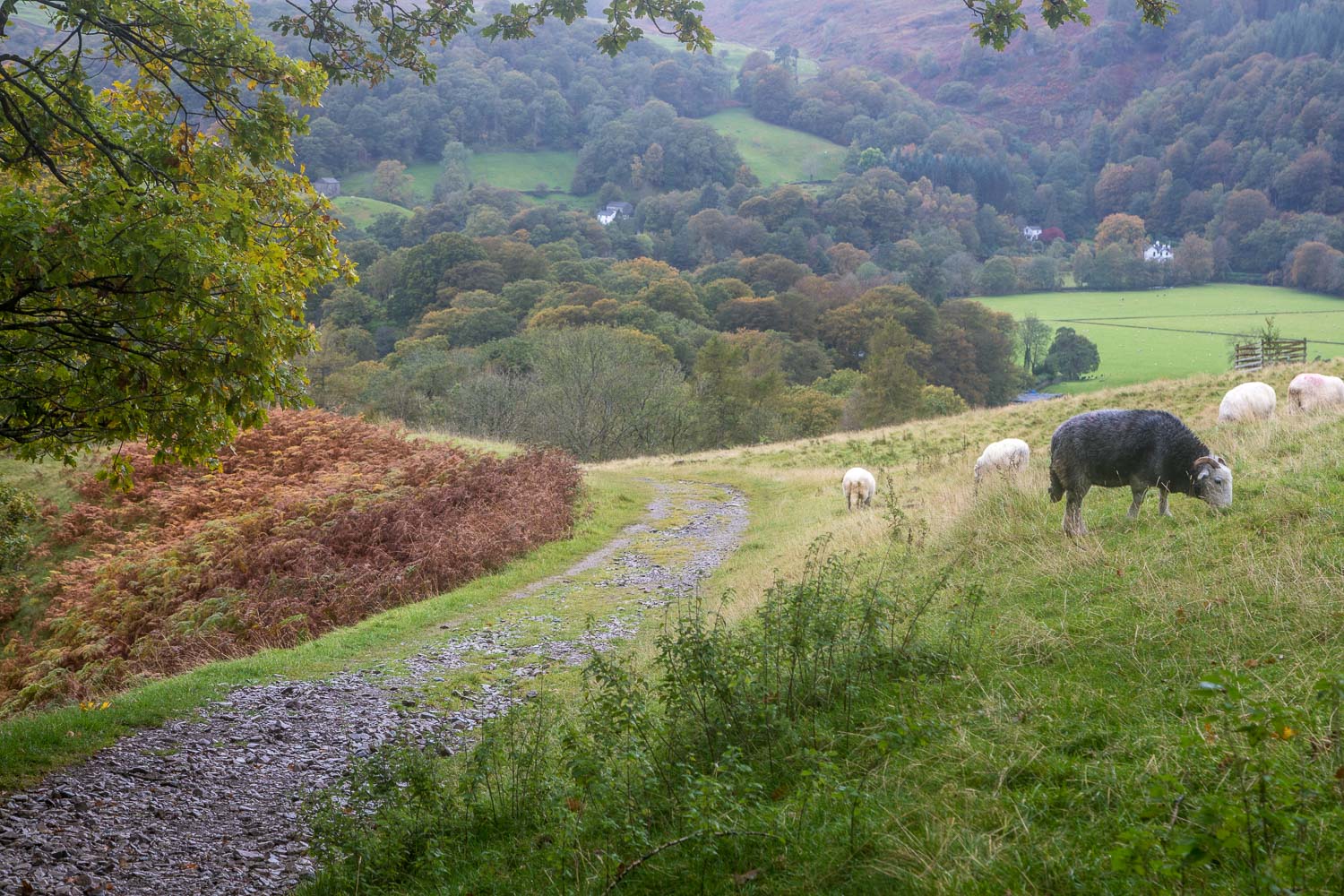
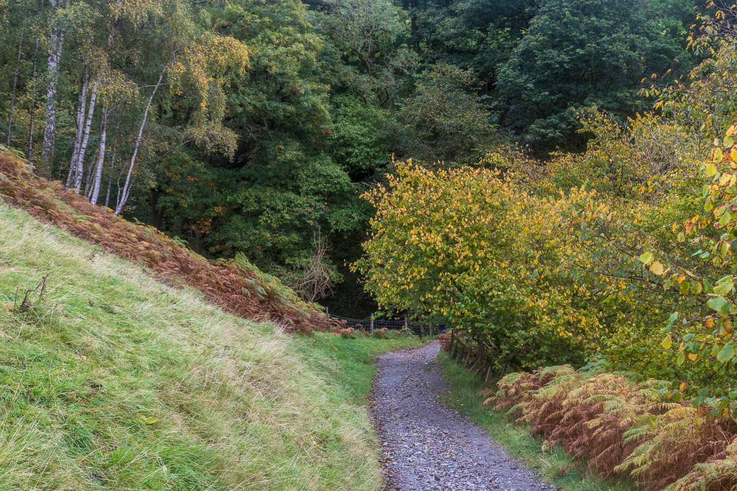
We parked in the Rydal Road car park on the outskirts of Ambleside and after crossing Rydal Road we walked uphill to the Kirkstone road and took the first left turning for Sweden Bridge Lane. The lane is tarmac at first, but soon becomes a stony bridleway between old dry stone walls. The ascent is an easy one, with ever improving views, although the views today were obscured by low cloud, rain and mist. We’d hoped that the clouds would gradually break, but they never did, and it rained most of the time
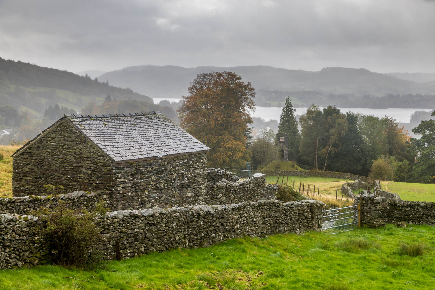
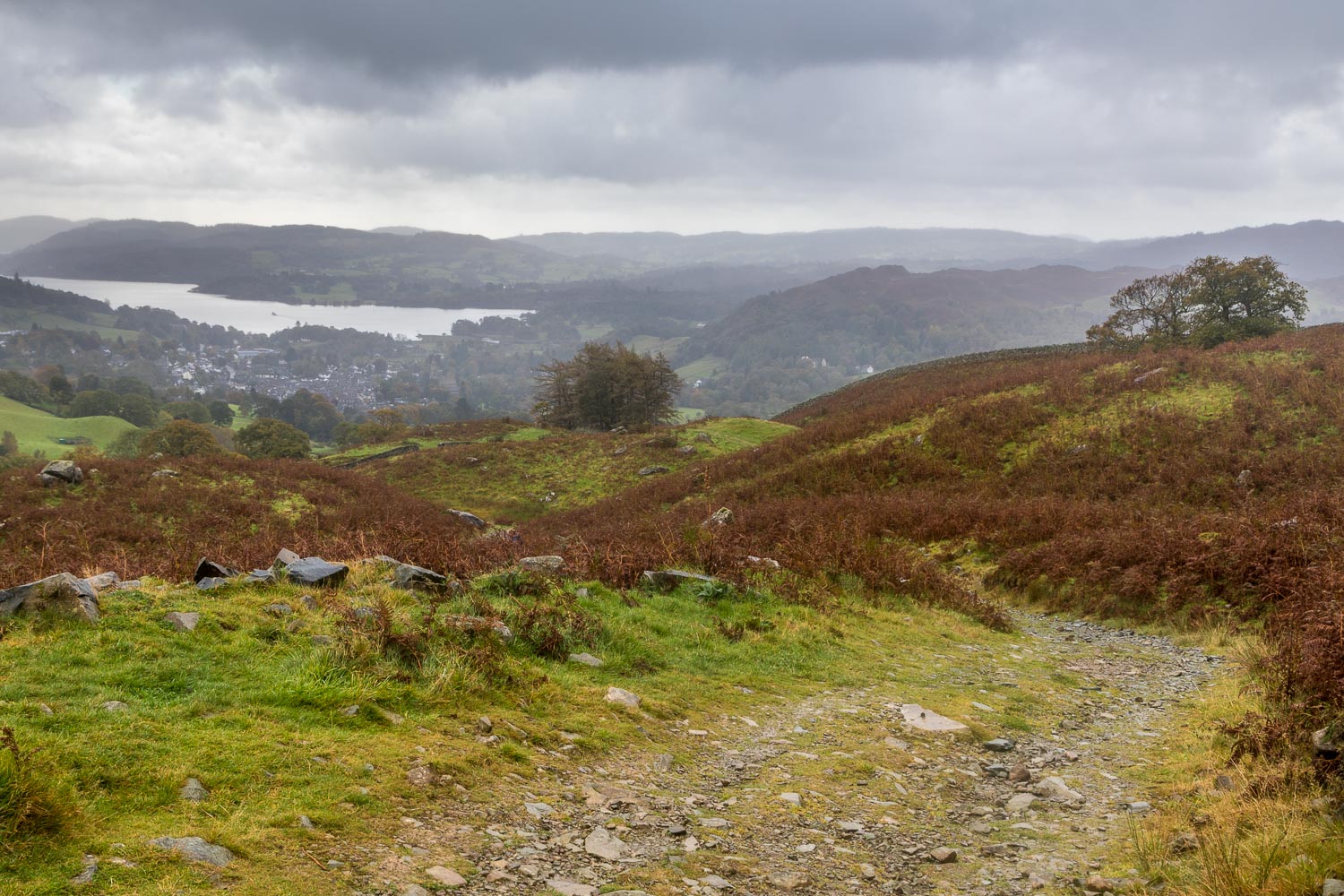
We eventually arrived at the far point of the walk and our objective High Sweden Bridge. After crossing the ancient stones, polished to a fine sheen by centuries of foot traffic, we followed a path up the other side of the fellside. At the highest point, views of Ambleside and Windermere appeared ahead of us, and accompanied us for most of the way down. The views were not seen at their best thanks to the poor weather, but were a fine sight nevertheless. We continued down the easy track, passing over Low Sweden Bridge where there are some small waterfalls. Shortly beyond the bridge the track became a tarmac lane which took us back down into Ambleside
Despite the weather, it had been an enjoyable walk and I’d happily repeat it, hopefully in better conditions than today
Click on the icon below for the route map (subscribers to OS Maps can view detailed maps of the route, visualise it in aerial 3D, and download the GPX file. Non-subscribers will see a base map)
Scroll down – or click on any photo to enlarge it and you can then view as a slideshow
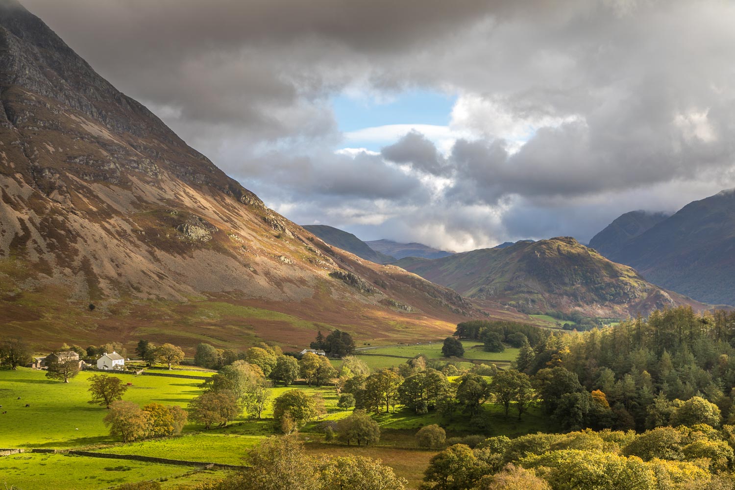
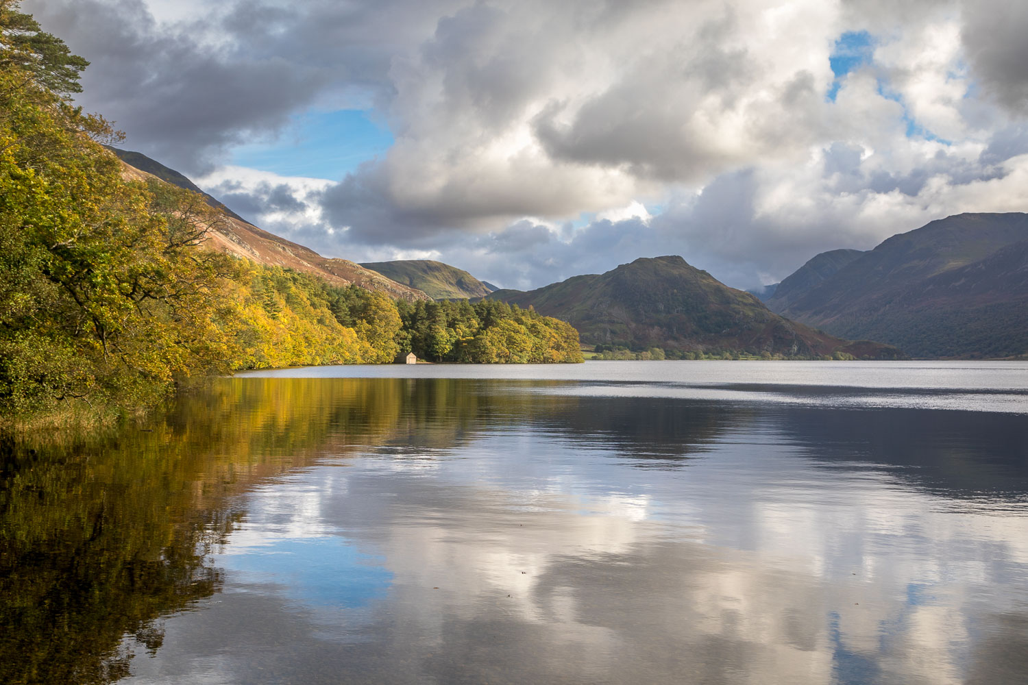
The day before the walk, a short walk to Crummock Water - this is Lanthwaite Green from Lanthwaite Hill seen in some lovely light after rain
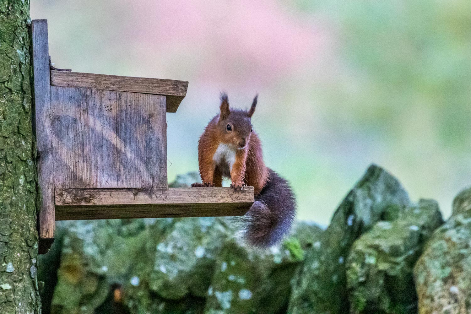
Next morning, a red squirrel in the garden. It's wonderful to have them back after an absence of several months
