Route: Lauterbrunnen to Stechelberg
Area: Lauterbrunnental, Switzerland
Date of walk: 15th June 2024
Walkers: Andrew and Gilly
Distance: 5.3 miles
Ascent: 450 feet
Weather: Cloudy
Today was forecast to be a poor weather day and this proved to be the case with low cloud covering the surrounding mountains. We decided on a valley level walk and caught the local train from our base in Wengen to the village of Lauterbrunnen, some 1,600 feet below. The Lauterbrunnen valley is famous for its 72 waterfalls which tumble from the mountains down the sheer cliff faces on both sides of the Lauterbrunnen Wall
Having visited the village yesterday we were aware that it’s a tourist trap and expected the route to be crowded at first. Our expectation was that most people would visit the first waterfall – the nearby Staubbach Falls – take their selfies, and return to the village. The falls are a honeypot destination, as a path leads around the back of the waterfall, which is the highest in the country. Hordes of people of all nationalities, seemingly welded to their mobile phones, were making their way along the path to the foot of the falls, so we gave it a miss and carried on along the road
The crowds soon thinned out as we’d hoped and after a while we left the road to follow a path to the other side of the valley. The purpose of the detour was to visit the Trümmelbach Falls, the world’s only glacier waterfalls that are accessible underground by tunnels, paths and platforms. Unfortunately, the hordes had arrived before us and again we decided to walk on by. In retrospect I wish we’d ignored the detour and continued along the quiet valley road. Anyone wishing to enjoy their surroundings in solitude is recommend to avoid the two ‘headline’ waterfalls, there are many others along the way
To regain our path we had to continue up the main valley road before crossing back to the other side. Up to this point I’d awarded the walk one star at most, but beyond it the walk became a five star one. We now had the quiet valley road to ourselves and passed through a succession of meadows and fields, enjoying the sight of many spectacular waterfalls on both sides of the valley. Eventually we arrived at the small unspoilt village of Stechelberg at the head of the valley. After refreshments in the beer garden at the friendly Hotel Stechelberg, set in an idyllic position, we caught the Postbus back to Lauterbrunnen to end what had been an enjoyable walk despite the poor start
Click on the icon below for the route map
Scroll down – or click on any photo to enlarge it and you can then view as a slideshow
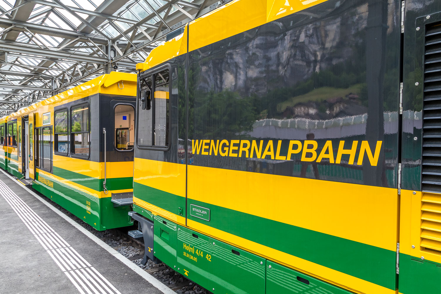
Using our Jungfrau travel pass we caught the Wengernalp cog railway from our base in Wengen down to Lauterbrunnen
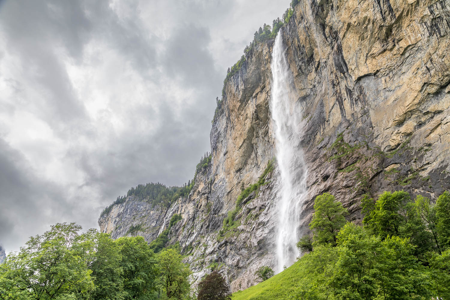
The famous Staubbach Falls, which are at the edge of the village and a magnet for anyone staying in Lauterbrunnen. The falls are 297m and the third tallest of the 72 along the Lauterbrunnen Valley
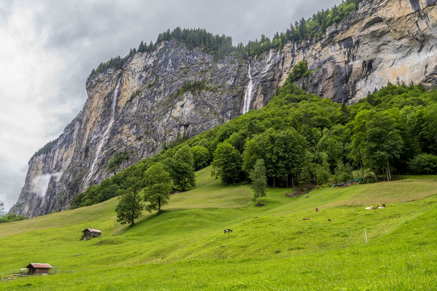
It was a relief to leave the crowds behind us and enjoy the sight of more waterfalls on both sides of the valley...
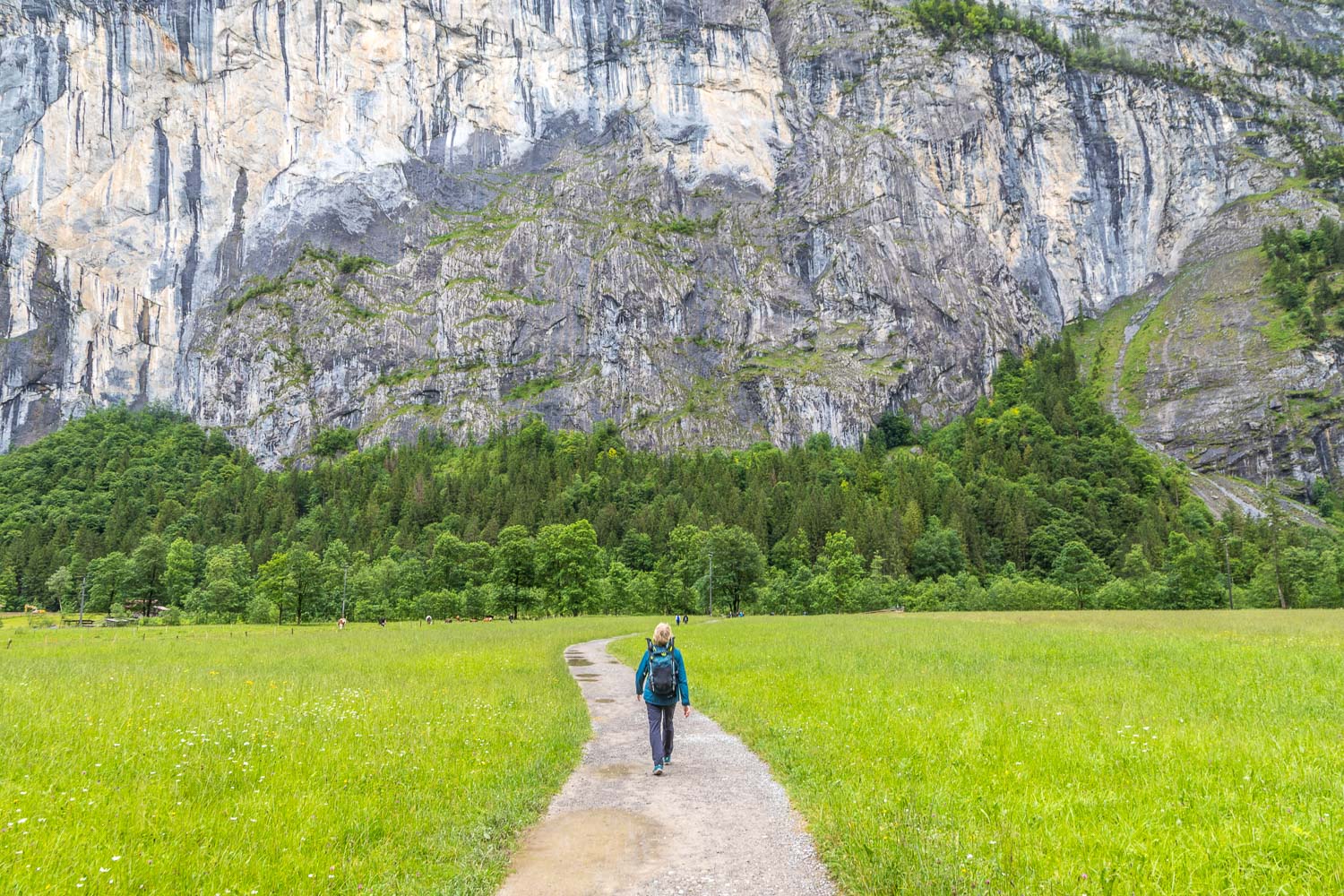
We leave the lane and turn left to follow a path to the other side of the valley. The purpose of the detour is to visit the Trümmelbach Falls
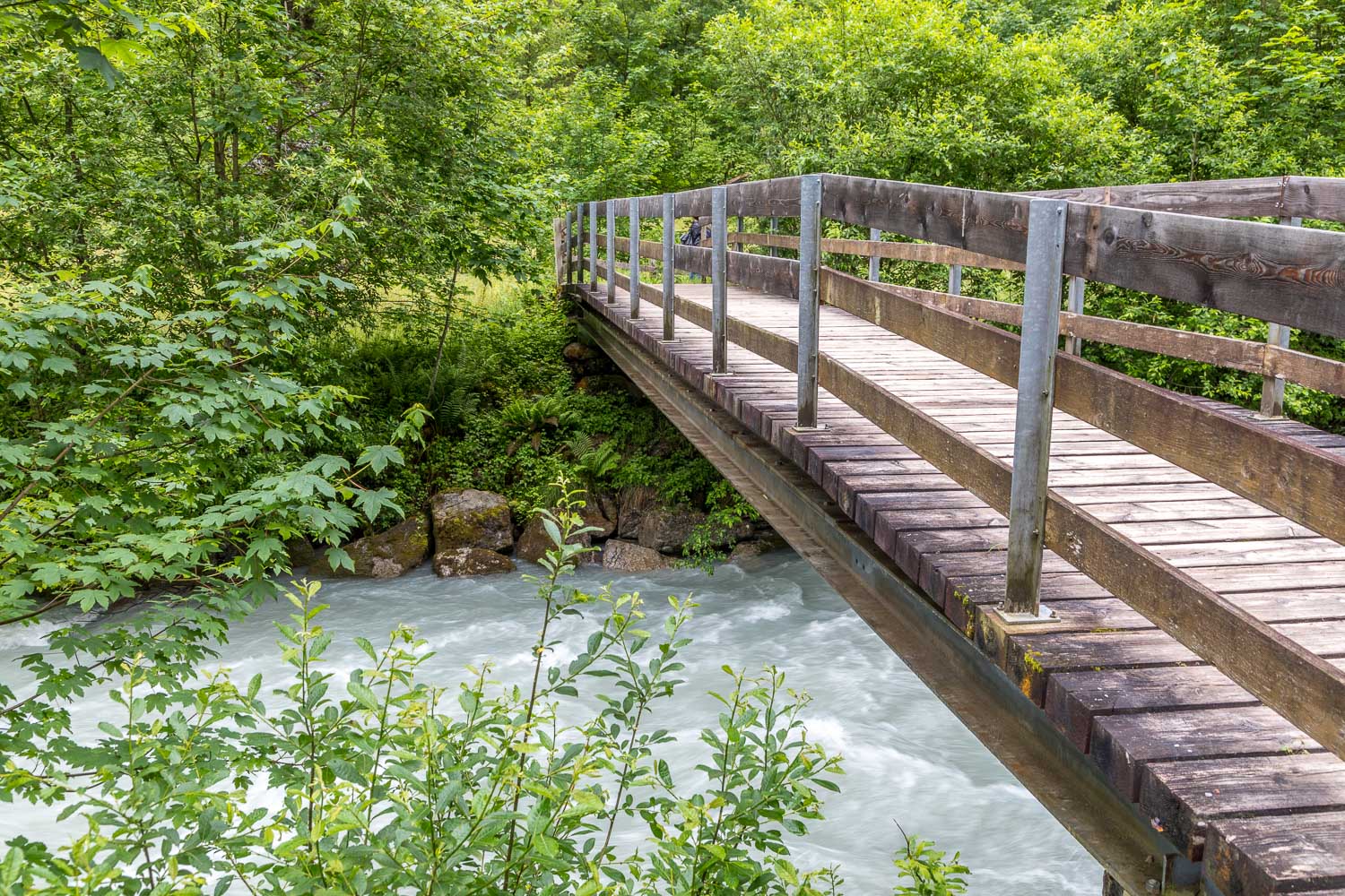
We cross a bridge over the Weisse Lütschine River, which derives its water from the melting snow in the mountains
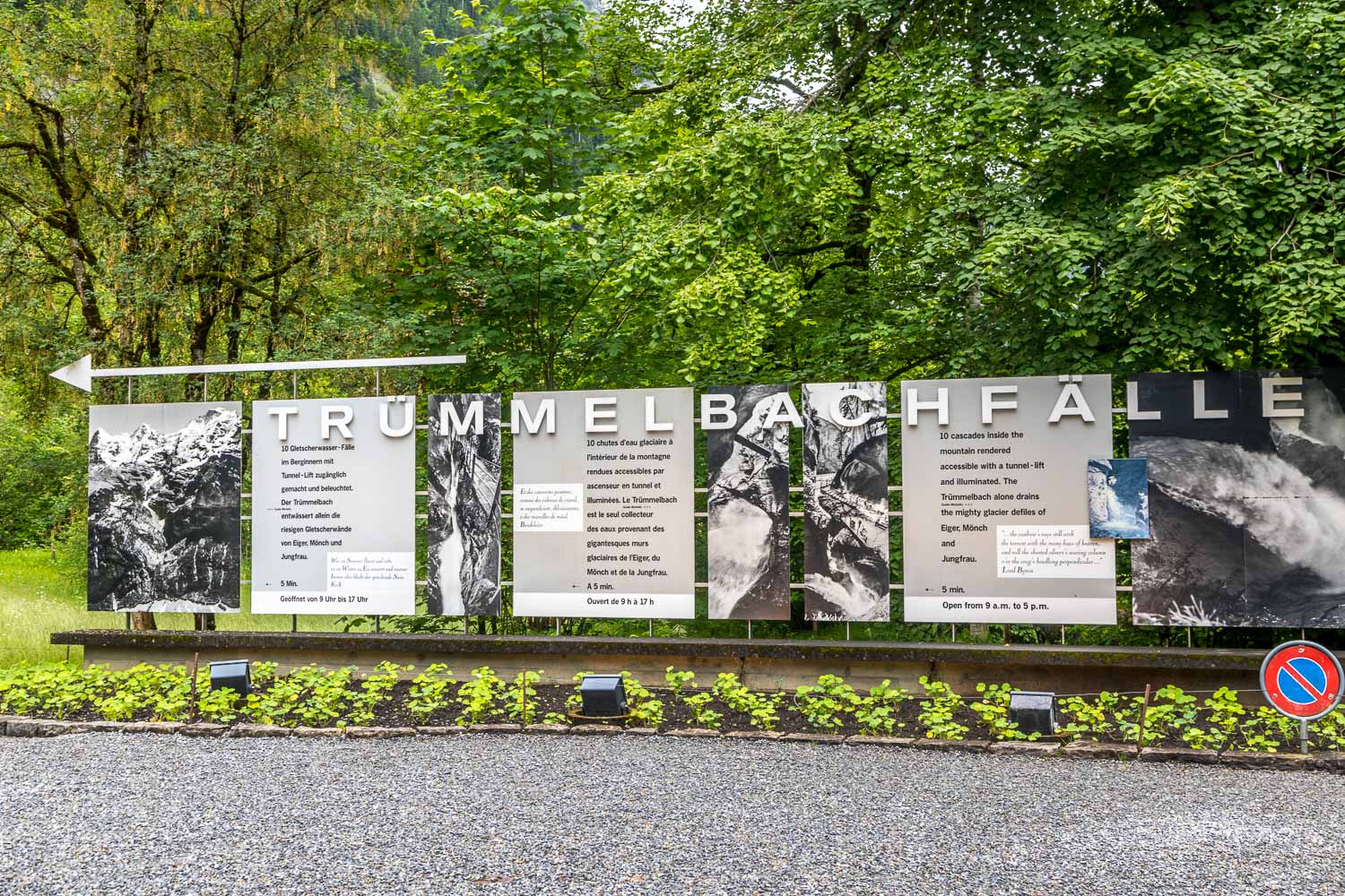
We arrive at the Trümmelbach Falls and are disappointed to see advertising boards, coaches, a ticket booth and other tourist infrastructure. The falls are the world's only glacier waterfalls that are accessible underground by lift, galleries, tunnels, paths and platforms. No doubt a spectacular sight but it's hard to enjoy natural beauty in a queue
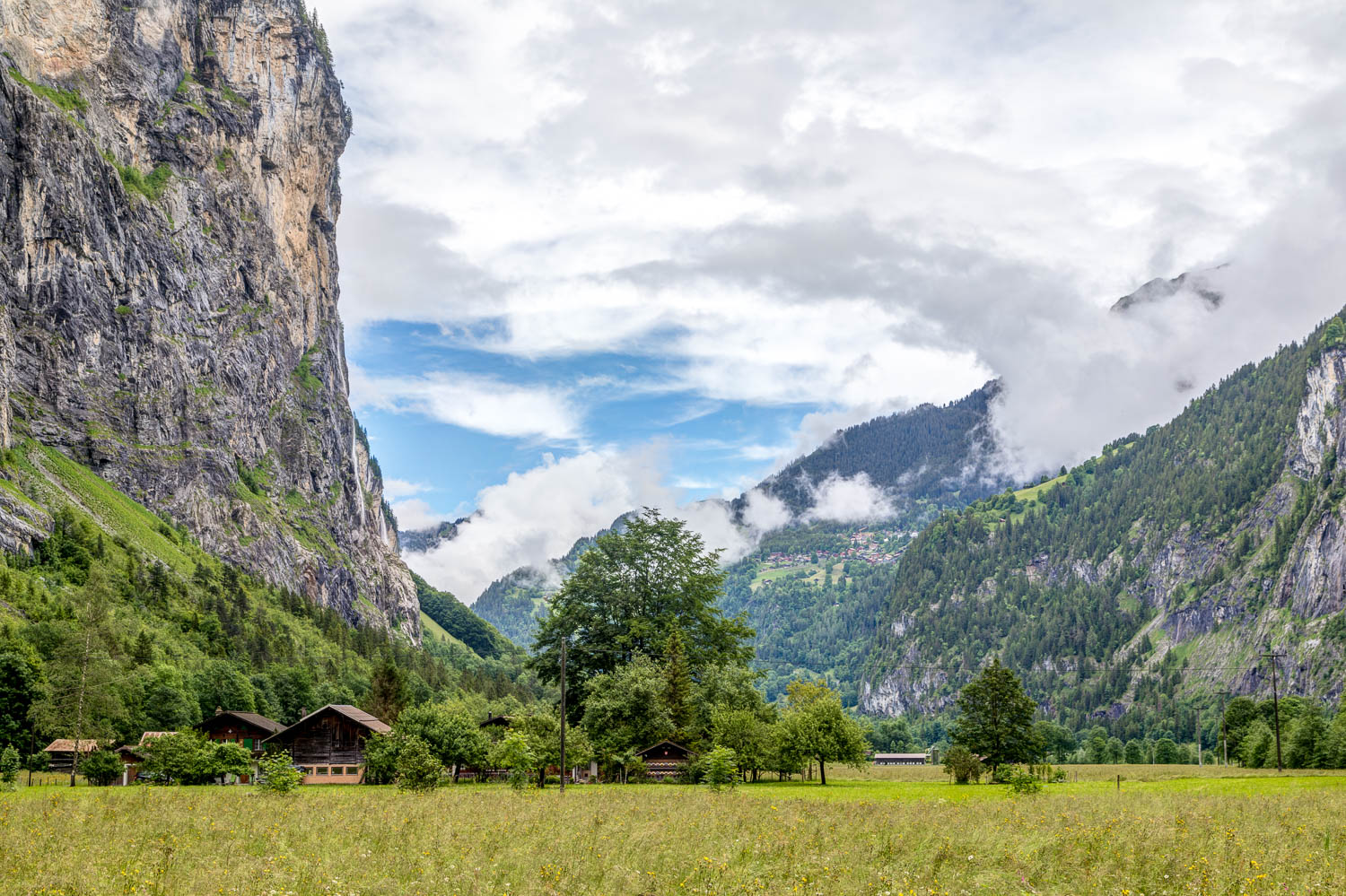
In retrospect we wished we'd ignored the detour to the Trümmelbach Falls. We followed the valley road for a short distance and at Sandbach we walked back to the other side of the valley
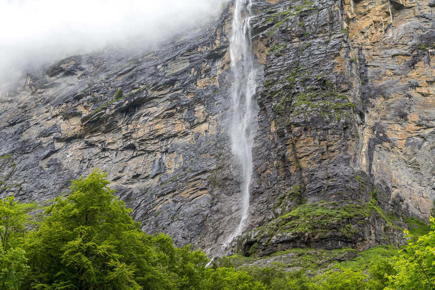
We pass by Aegertenbach Fall, 261m high, just as spectacular as the better known Staubbach Falls and no other visitors apart from us
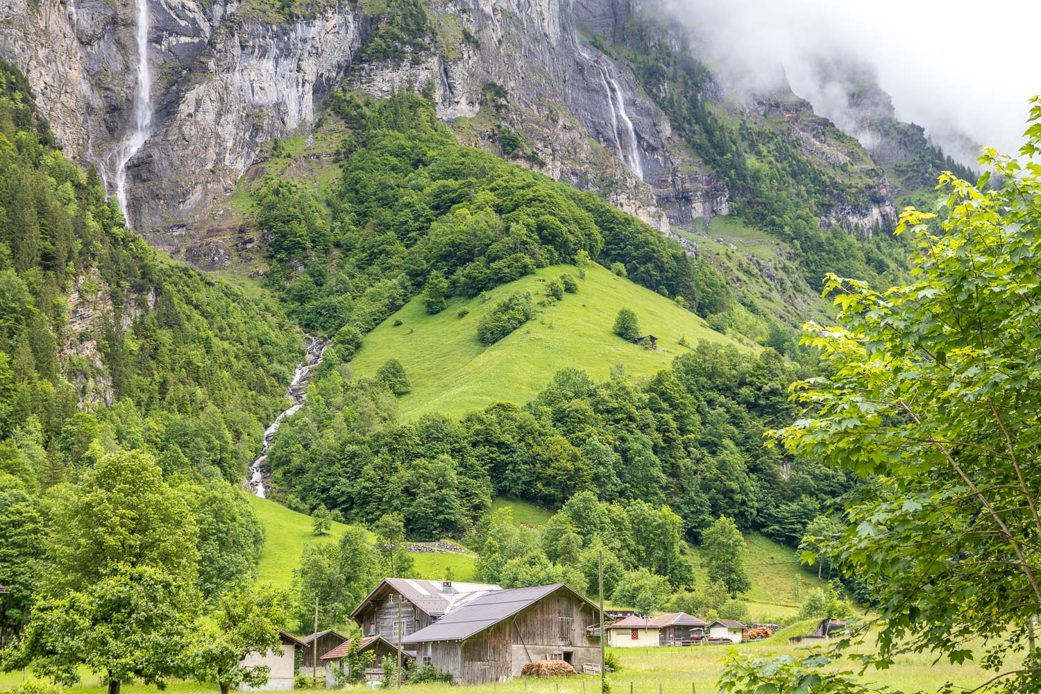
We pass by Stechelberg, the end of the route is beyond the small village at a point where the valley road ends


