Route: Stainforth
Area: Yorkshire Dales
Date of walk: 4th October 2015
Walkers: Andrew and Gilly
Distance: 5.2 miles
Ascent: 800 feet
Weather: White skies, very hazy, some sun at the end
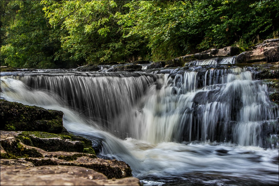
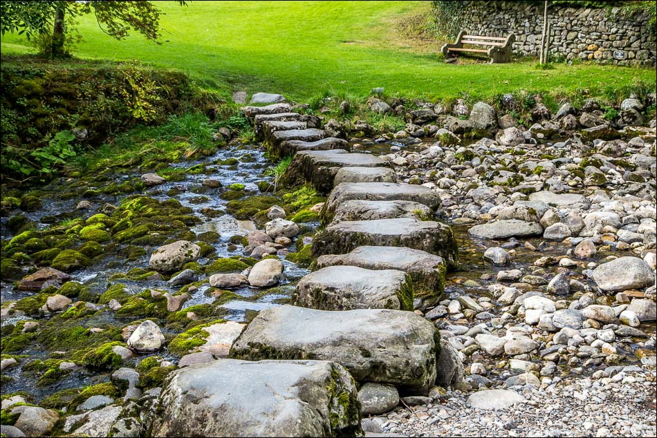
We parked in the village car park in Stainforth and walked down to nearby Stainforth Force (or Foss as it’s known to the locals). The waterfalls are a good place to see wild salmon leaping as they make their epic journey upstream to their spawning grounds. We’d arrived at the right time of year but were out of luck today. There’s no guarantee of a sighting, but recent rainfall helps and it had been dry for the last few days
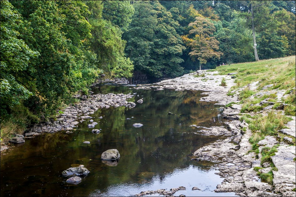
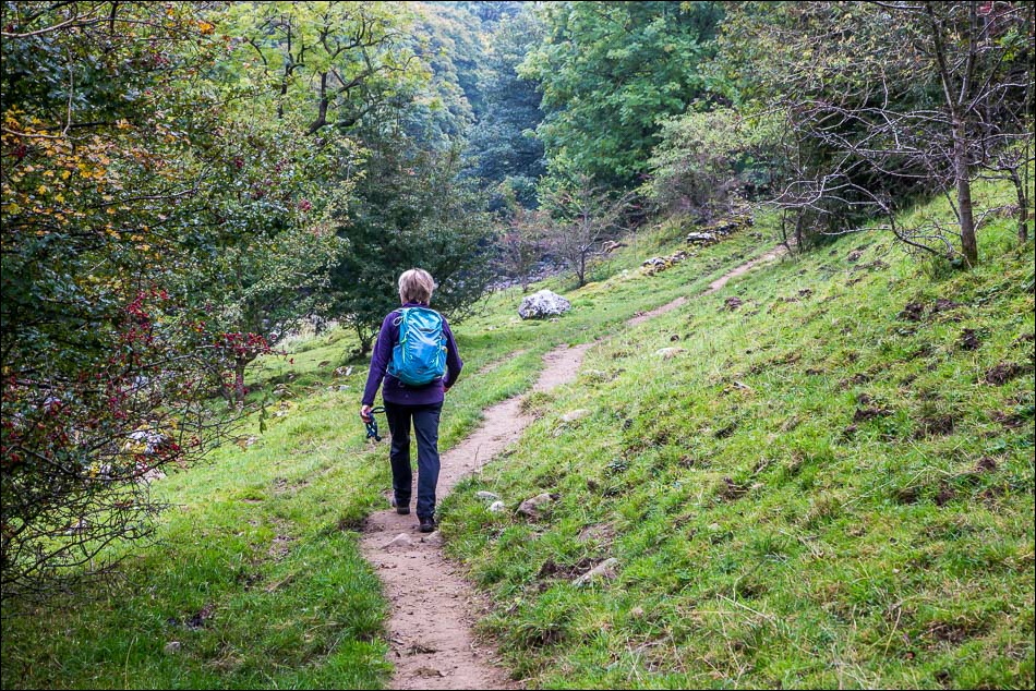
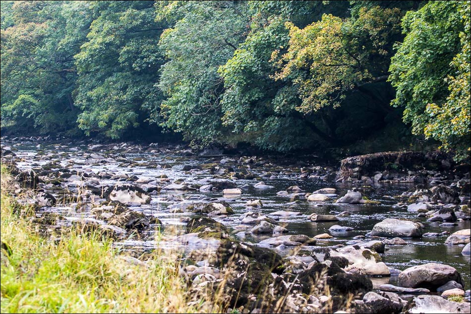
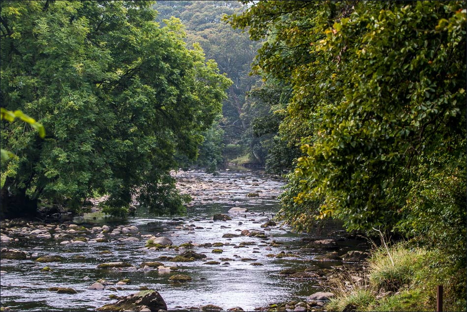
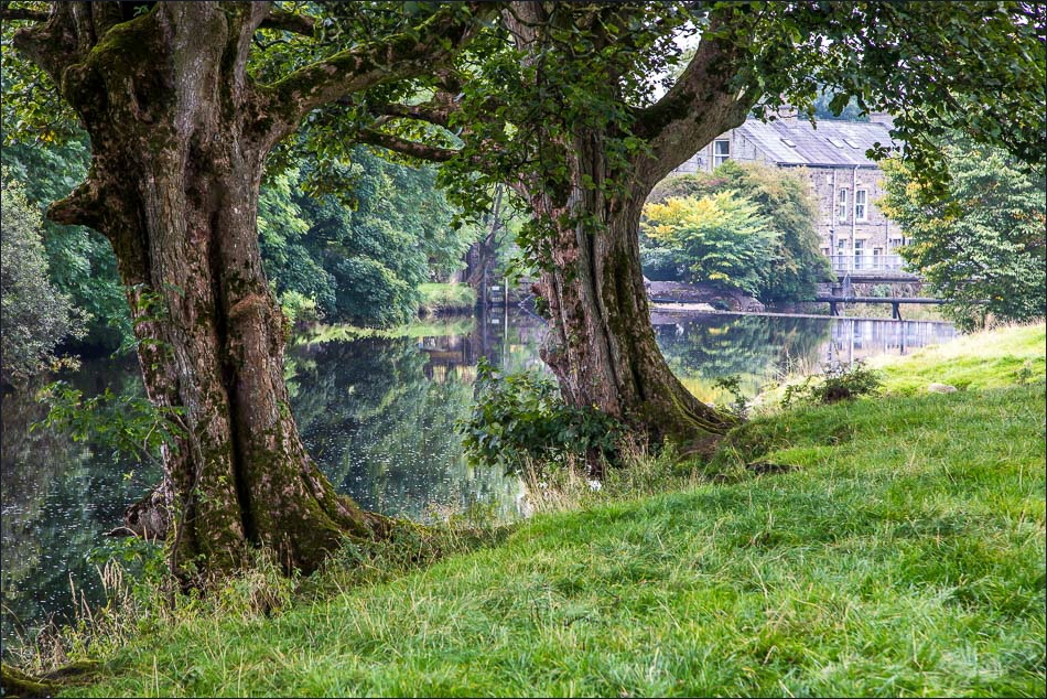
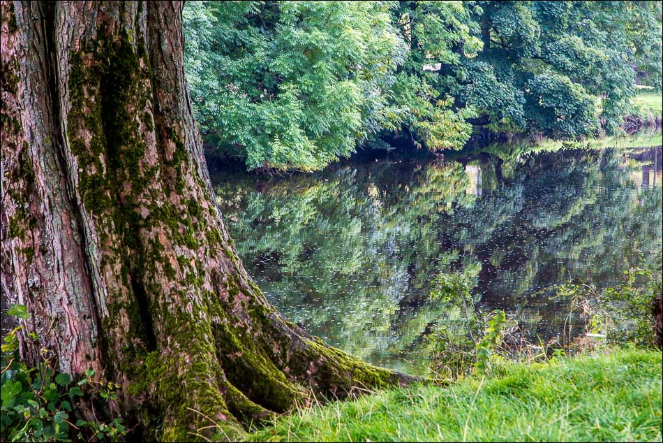
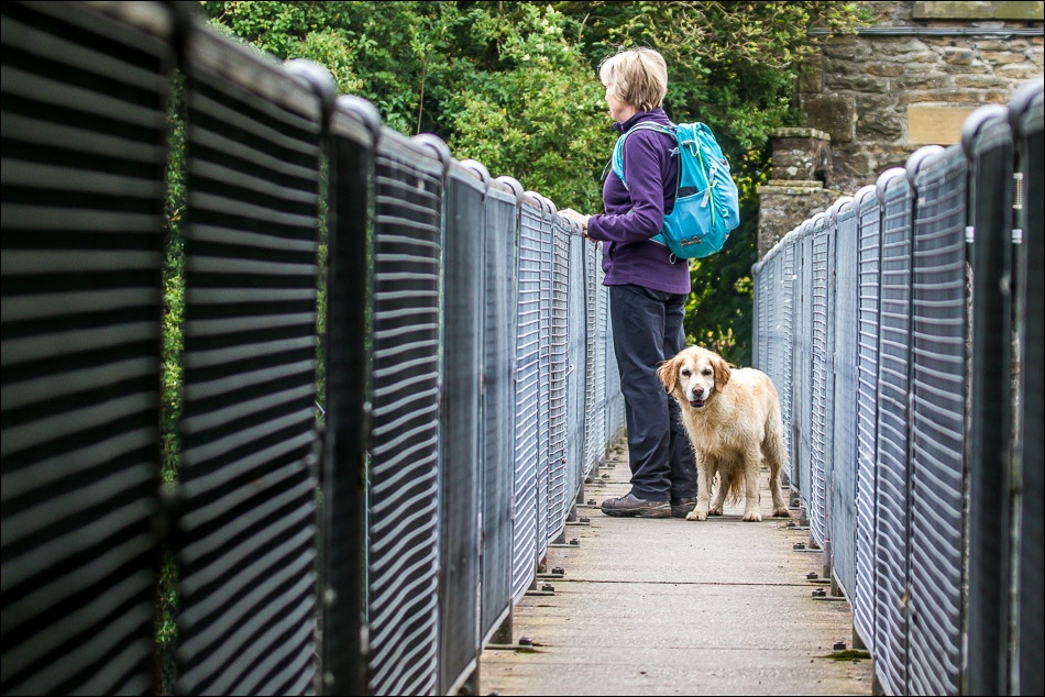
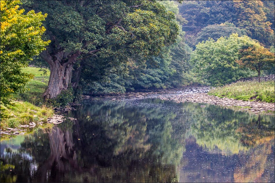
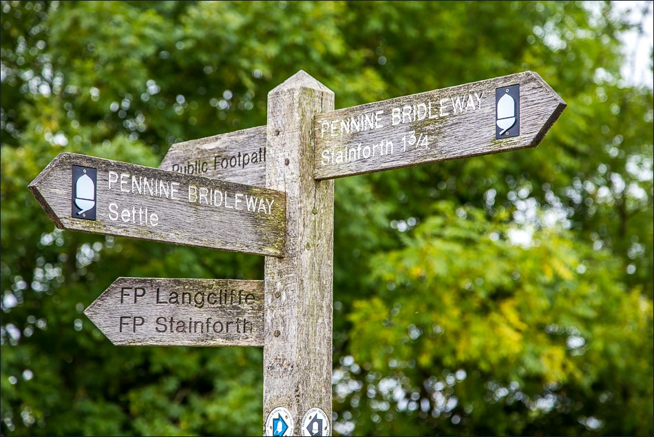
Never mind, the walk along the banks of the River Ribble was a delight and we followed the riverside path as far as Langcliffe, where we crossed the footbridge beyond the weir and started out on the return leg
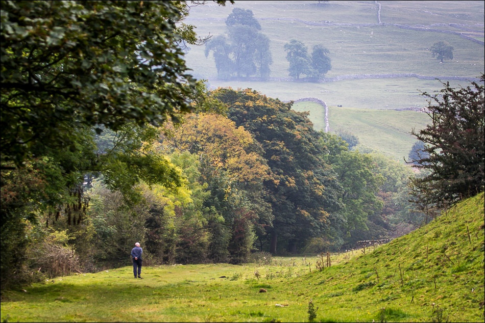
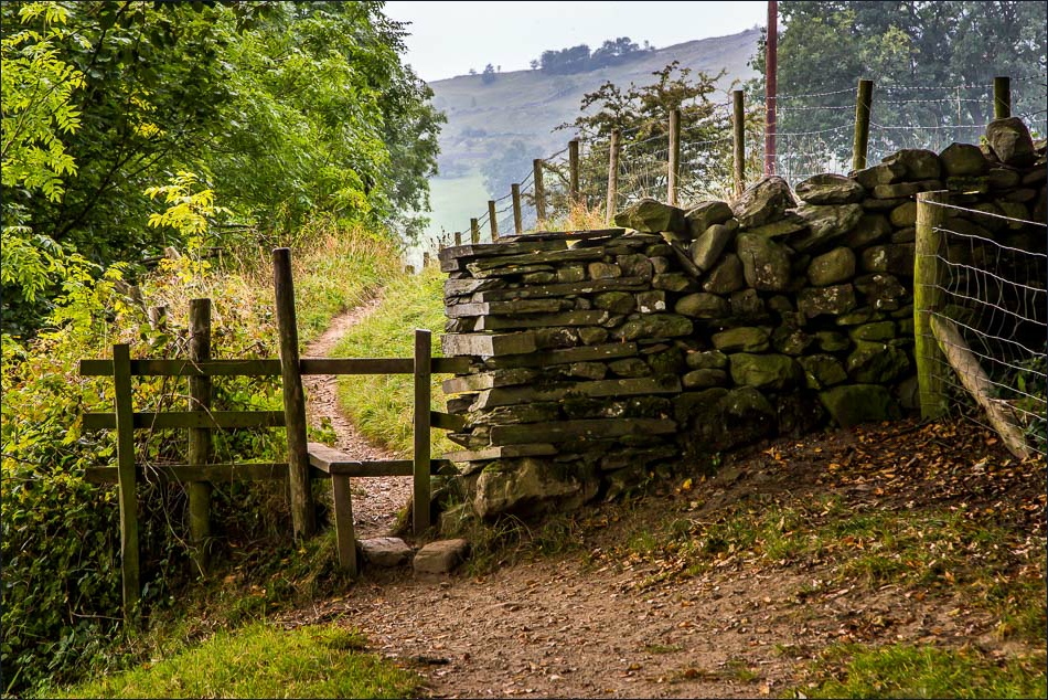
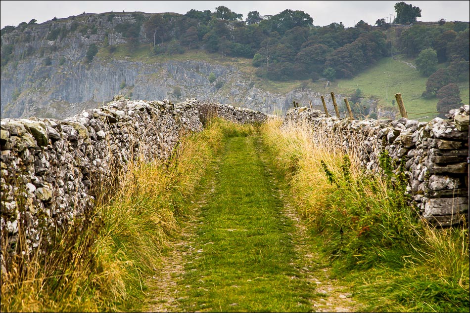
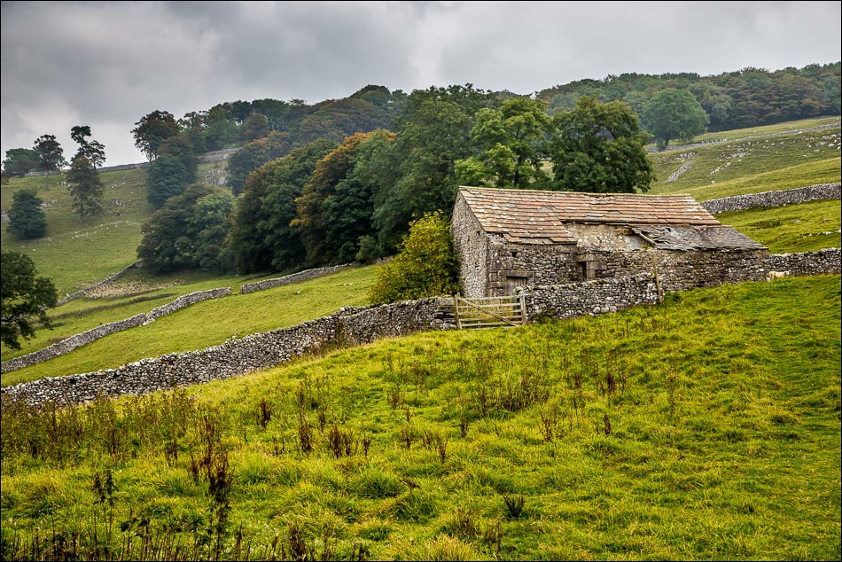
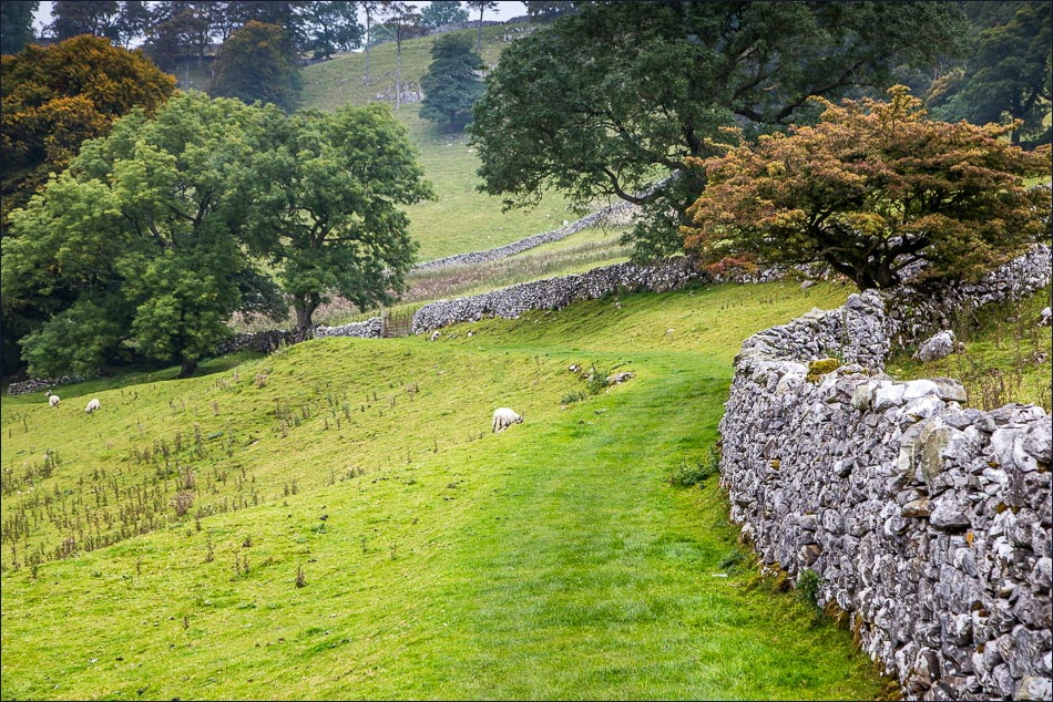
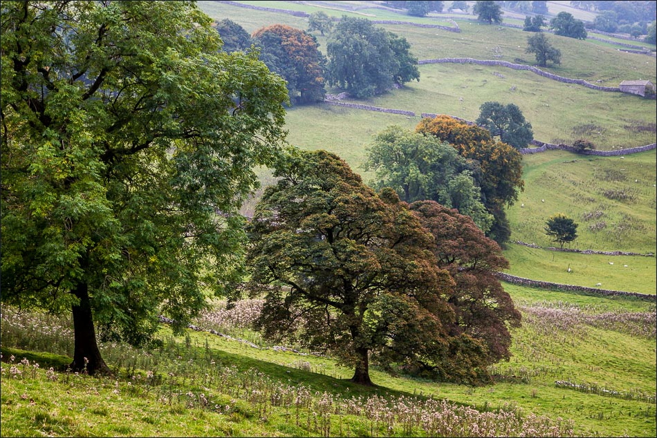
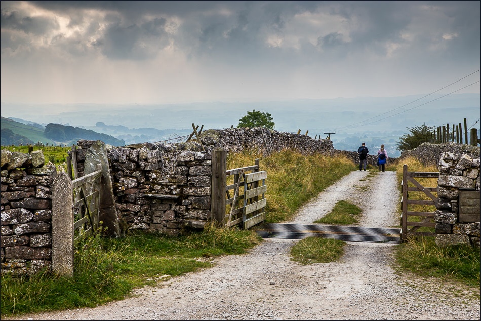
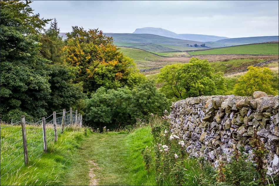
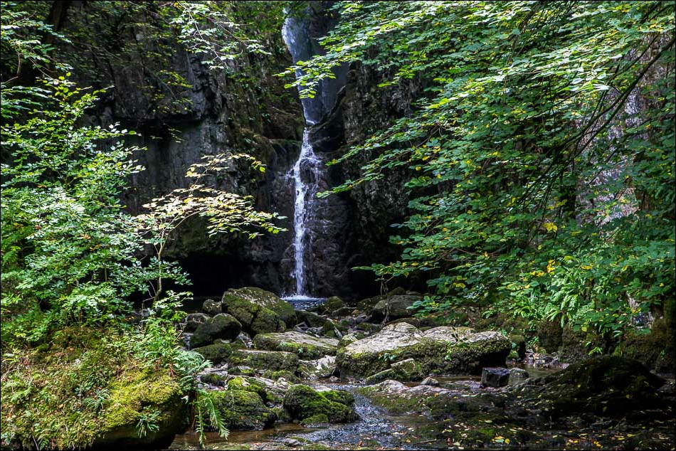
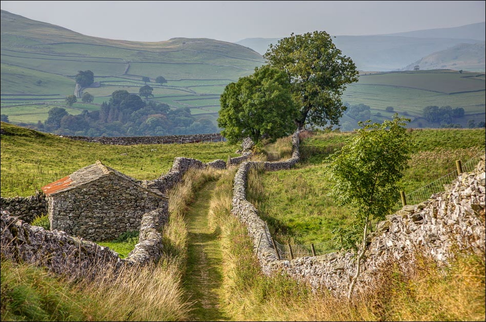
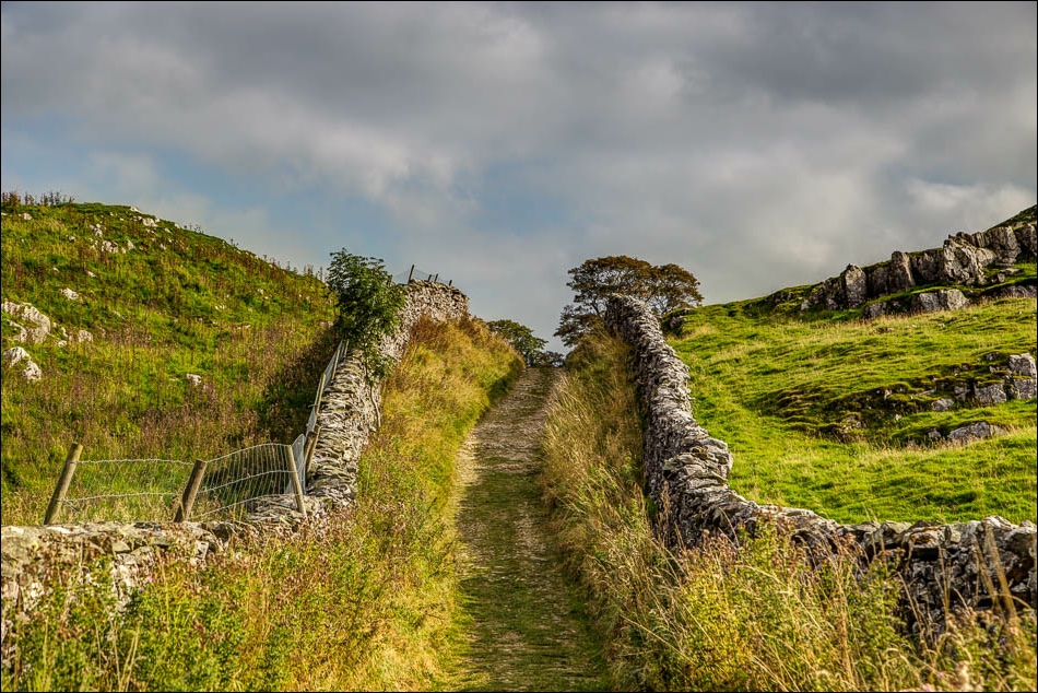
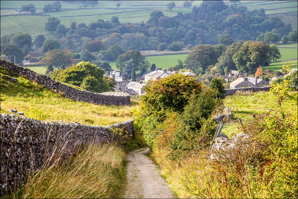
We climbed uphill above Stainforth Scar onto typical Dales limestone country, beautiful despite the uninspiring weather. After walking past Lower and Upper Winskill we descended back into Stainforth, making a short diversion to see Catrigg Force
For other walks here, visit my Find Walks page and enter the name in the ‘Search site’ box
Click on the icon below for the route map (subscribers to OS Maps can view detailed maps of the route, visualise it in aerial 3D, and download the GPX file. Non-subscribers will see a base map)
Scroll down – or click on any photo to enlarge it and you can then view as a slideshow
