Route: Skerne Wetlands
Area: East Yorkshire
Date of walk: 18th May 2021
Walkers: Andrew, Gilly, Phil and Denise
Distance: 5.1 miles
Ascent: 100 feet
Weather: Mixed sunshine and rain
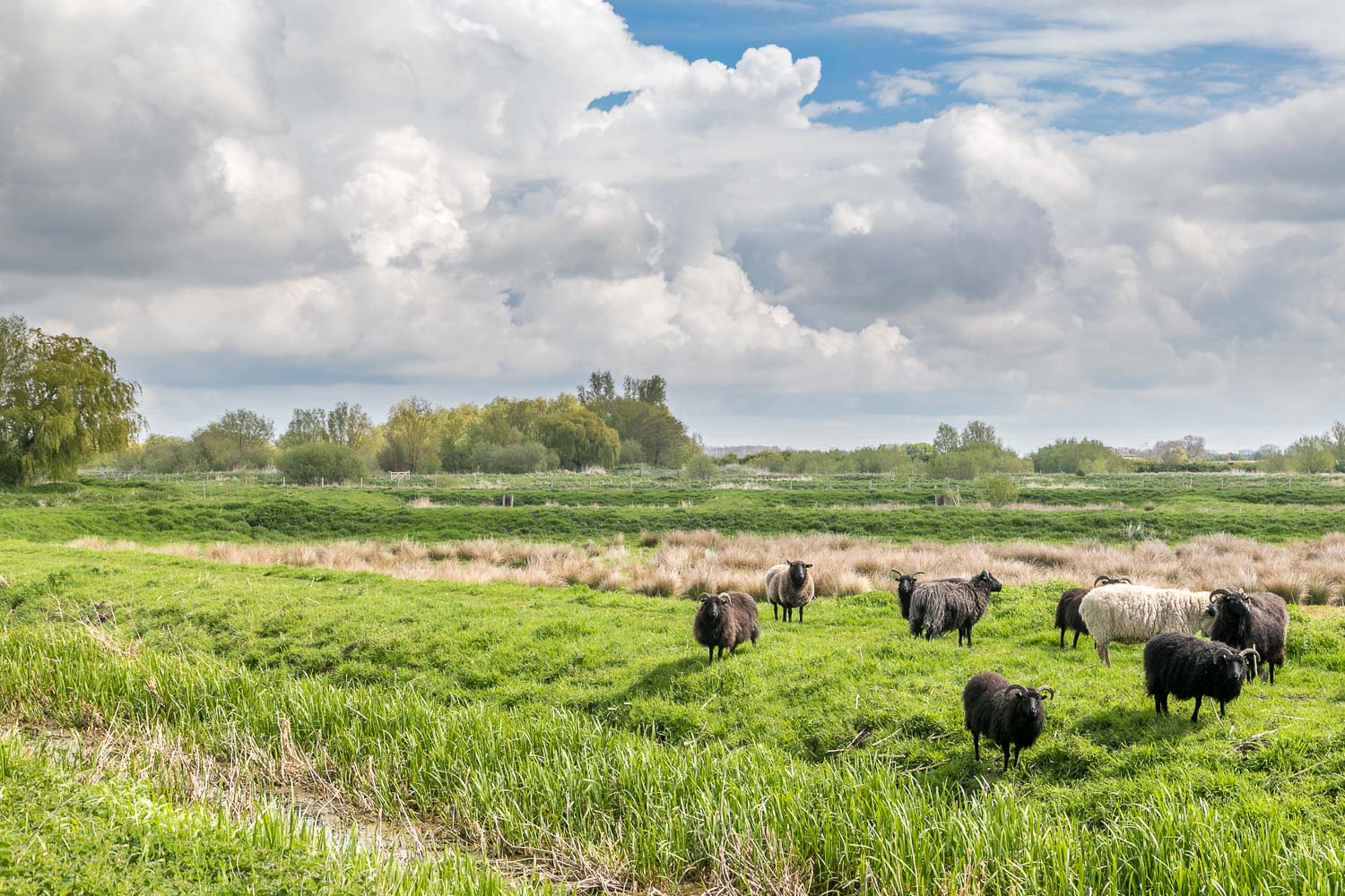
Skerne Wetlands is owned and managed by Yorkshire Wildlife Trust. The nature reserve covers over 110 acres, comprising wet grassland, over a mile of chalk stream, and more than 90 former commercial fish farm ponds, which have been converted into wet woodland, reedbed, fen and open water. A major restoration project is underway to create a wetland paradise. Bittern, otter, kingfisher and a host of other interesting wildlife have found a home here. Seasonal highlights include:
- Spring: Birds – Yellow wagtail; Fish – Brook lamprey; Invertebrates – Orange-tip; Reptiles – Grass snake
- Summer: Invertebrates – Emperor dragonfly; Fish – Brown trout; Mammals – Water vole
- Autumn: Birds – Green sandpiper; Kingfisher; Invertebrates – Common darter
- Winter: Birds – Bittern; Barn owl; Fieldfare; Redwing; Mammals – Otter; Roe deer
In order to make a proper walk of it we parked in the nearby village of Skerne. If time is limited it’s possible to drive to the entrance of the reserve and park immediately outside, where there is space for about 8 cars. Entry is free and dogs are not permitted
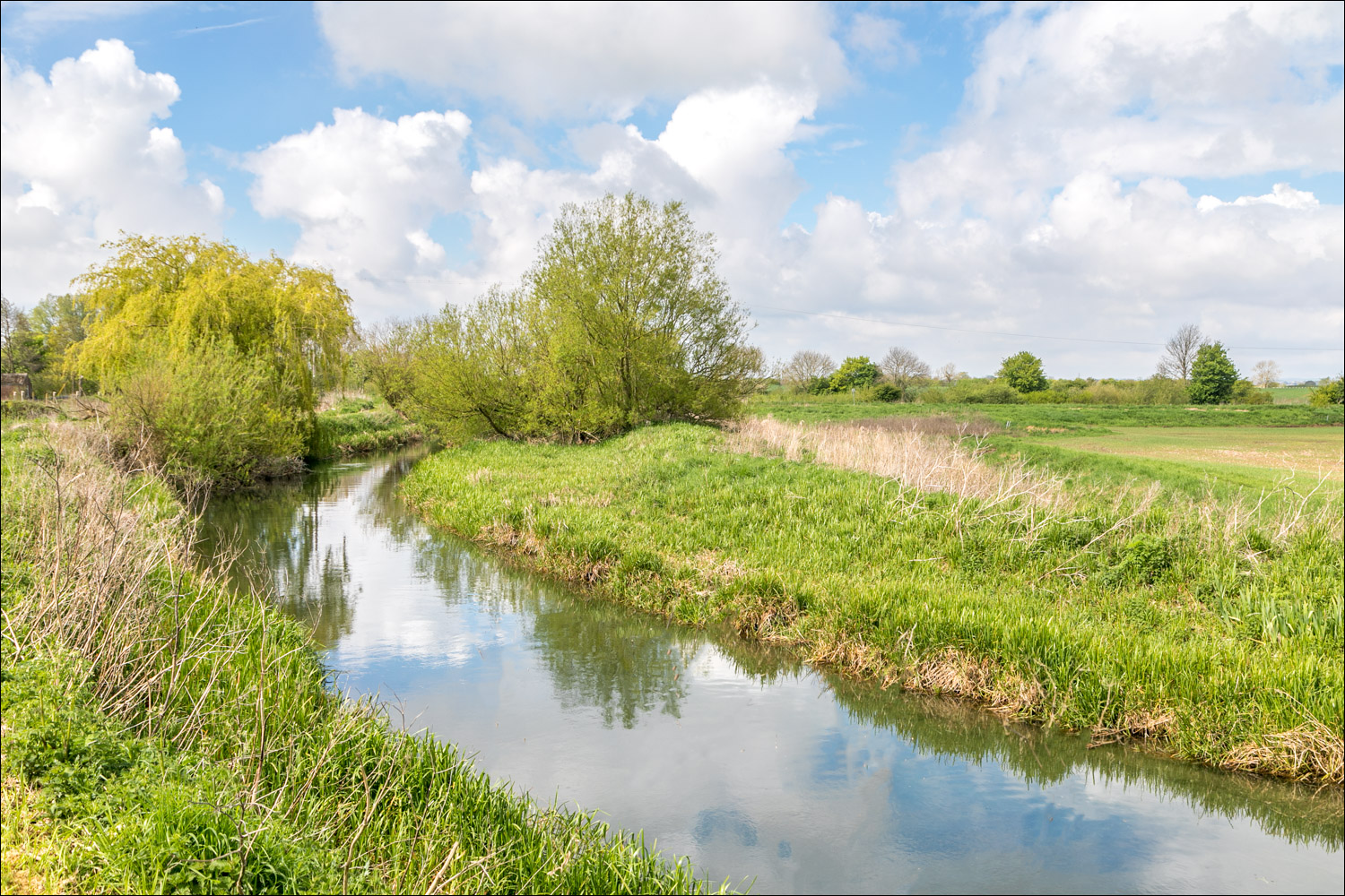
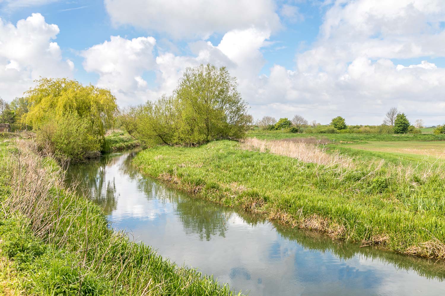
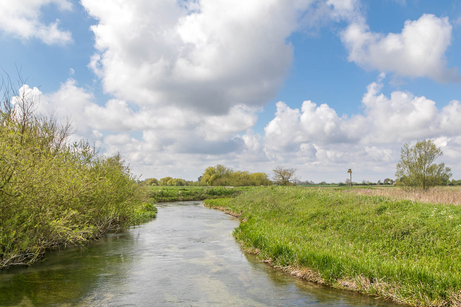
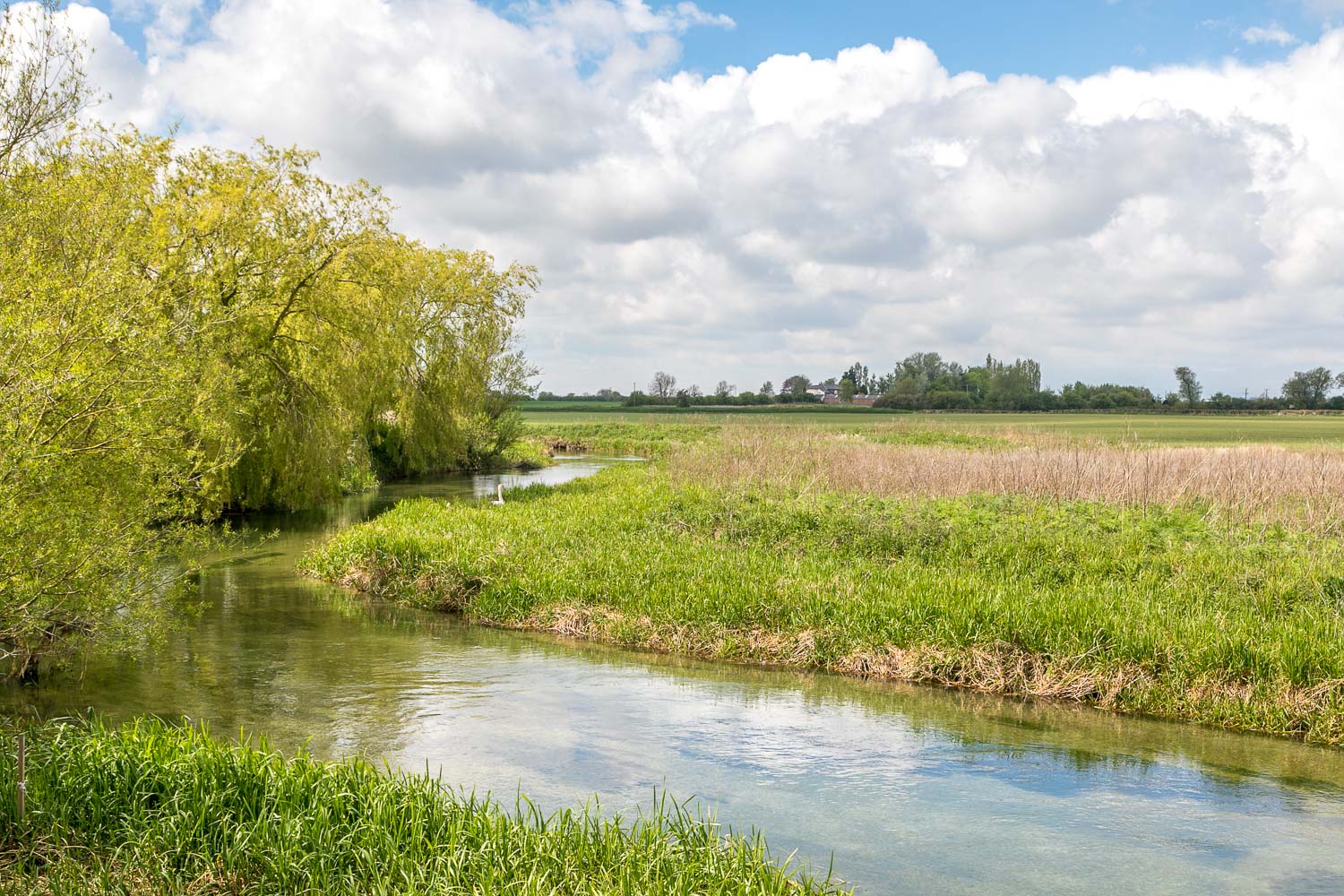
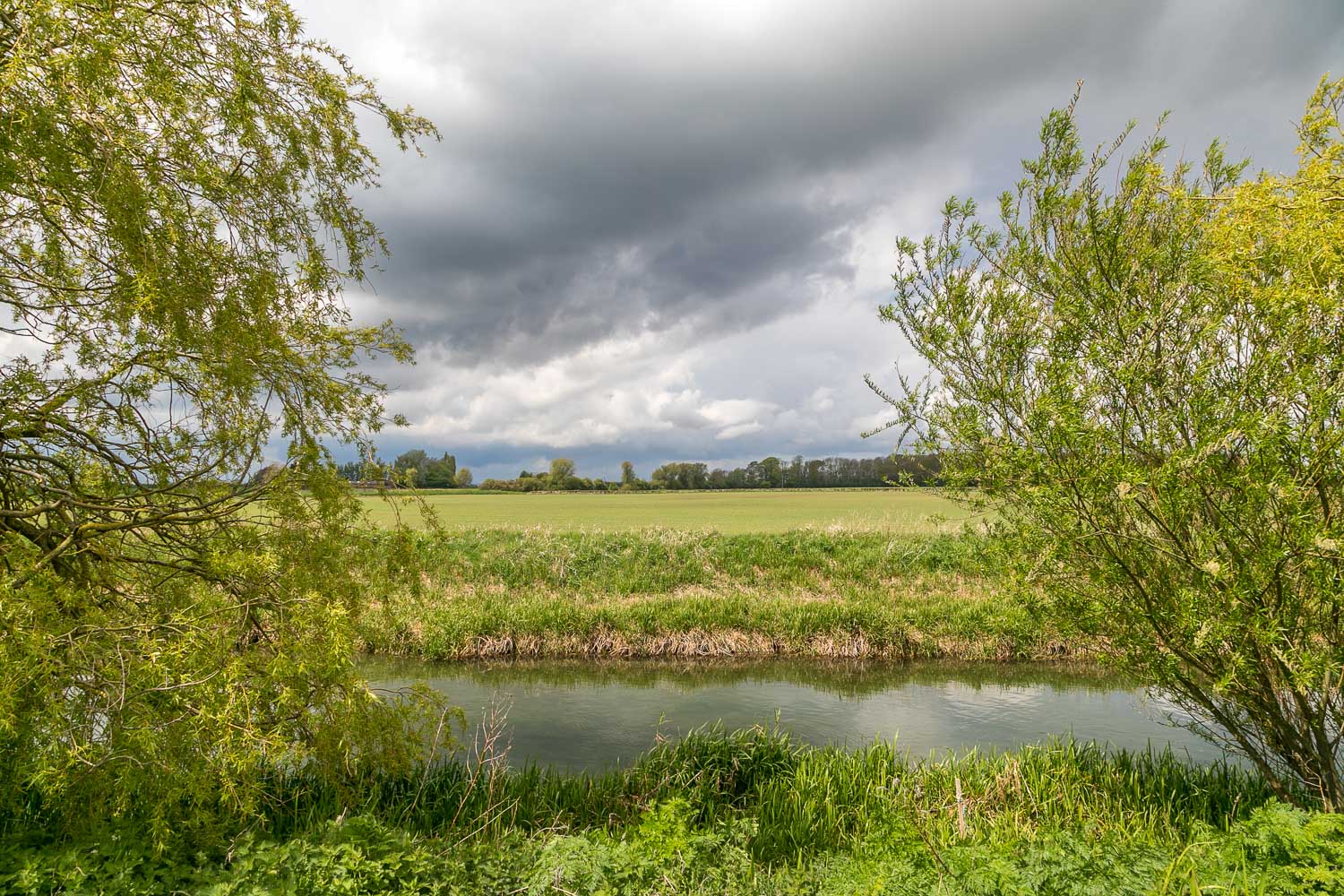
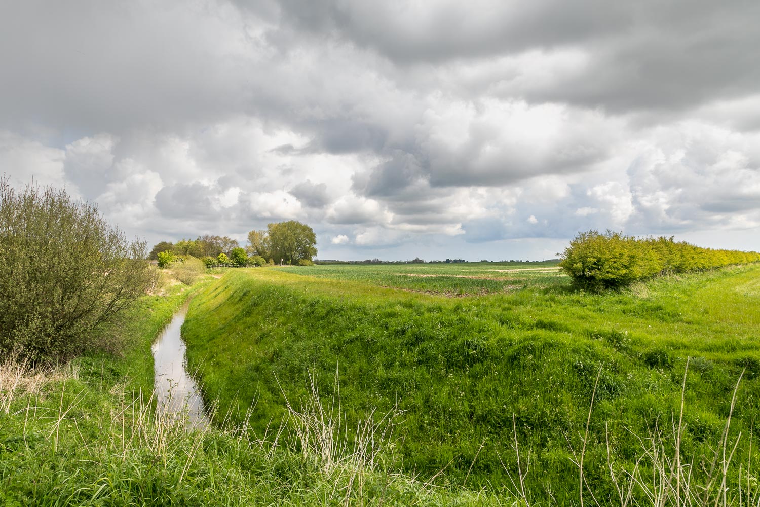
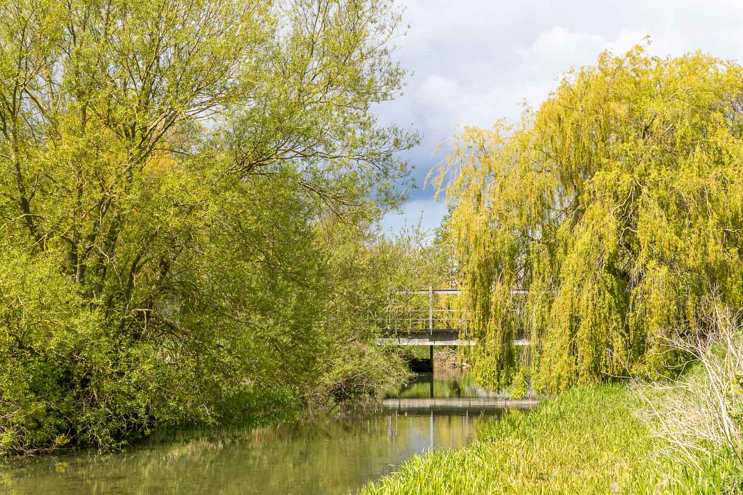
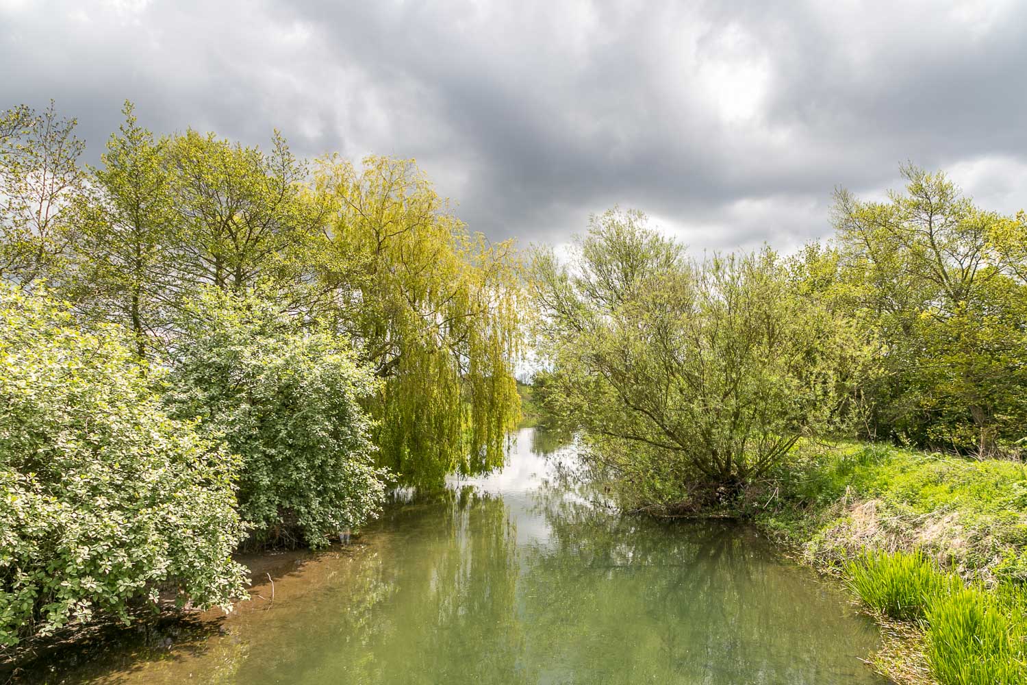
We set off along the track from Skerne which took us through flat countryside with huge views across the fields. Along the way we spotted a roe deer near some woodland. On entering the reserve we stopped at a bridge overlooking a crystal clear chalk stream and saw several large wild trout. The chalk streams here form a Site of Special Scientific Interest, and are the most northerly in the UK
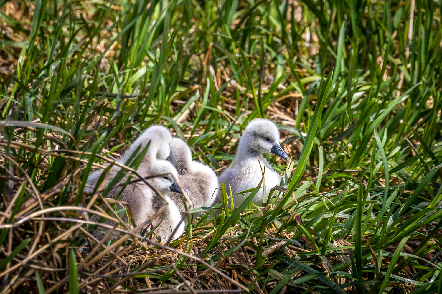
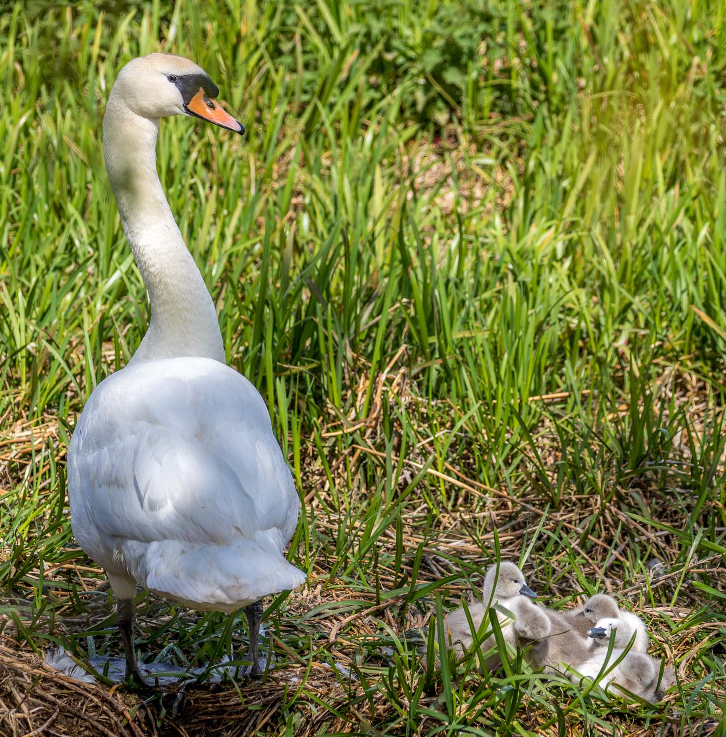
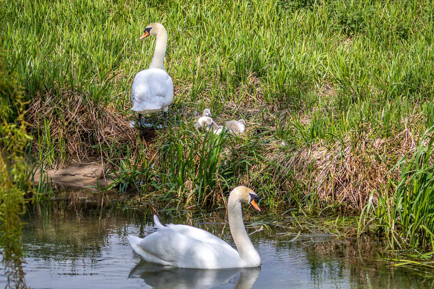
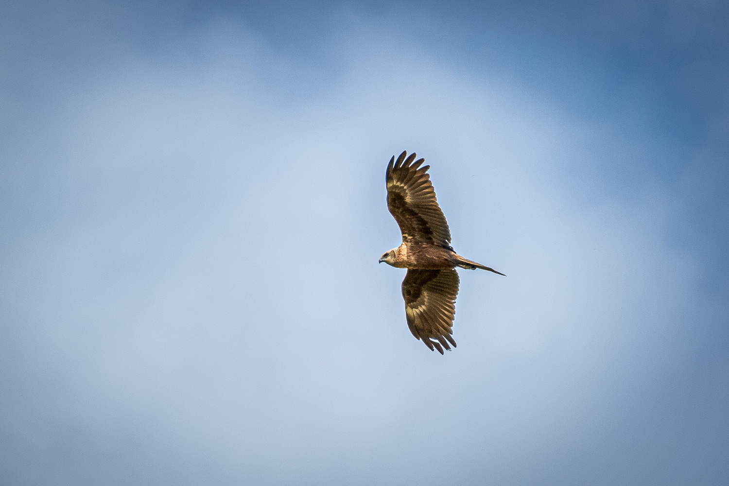
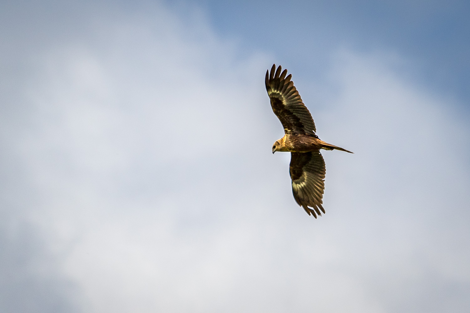
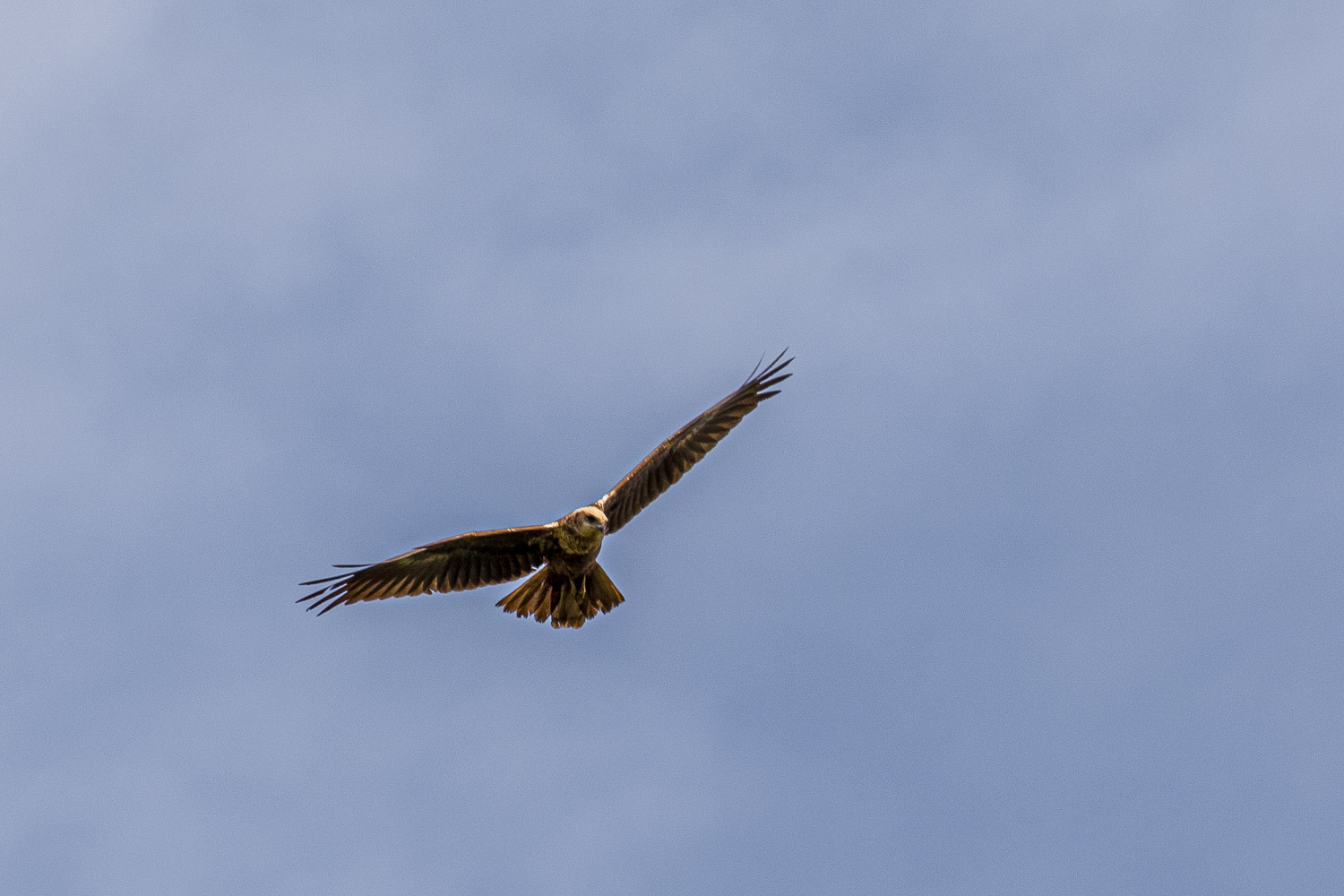
We wandered along the paths in the reserve, enjoying some good wildlife sightings as we did so. During the course of our meanders we didn’t see another soul. This is a jewel of a place which deserves to be better known, although our walking companions Phil and Denise, who visit regularly, will probably curse me for saying so
Northcliffe Wood is another East Yorkshire reserve owned by Yorkshire Wildlife Trust, follow the link for a recent visit there
Click on the icon below for the route map (subscribers to OS Maps can view detailed maps of the route, visualise it in aerial 3D, and download the GPX file. Non-subscribers will see a base map)
Scroll down – or click on any photo to enlarge it and you can then view as a slideshow
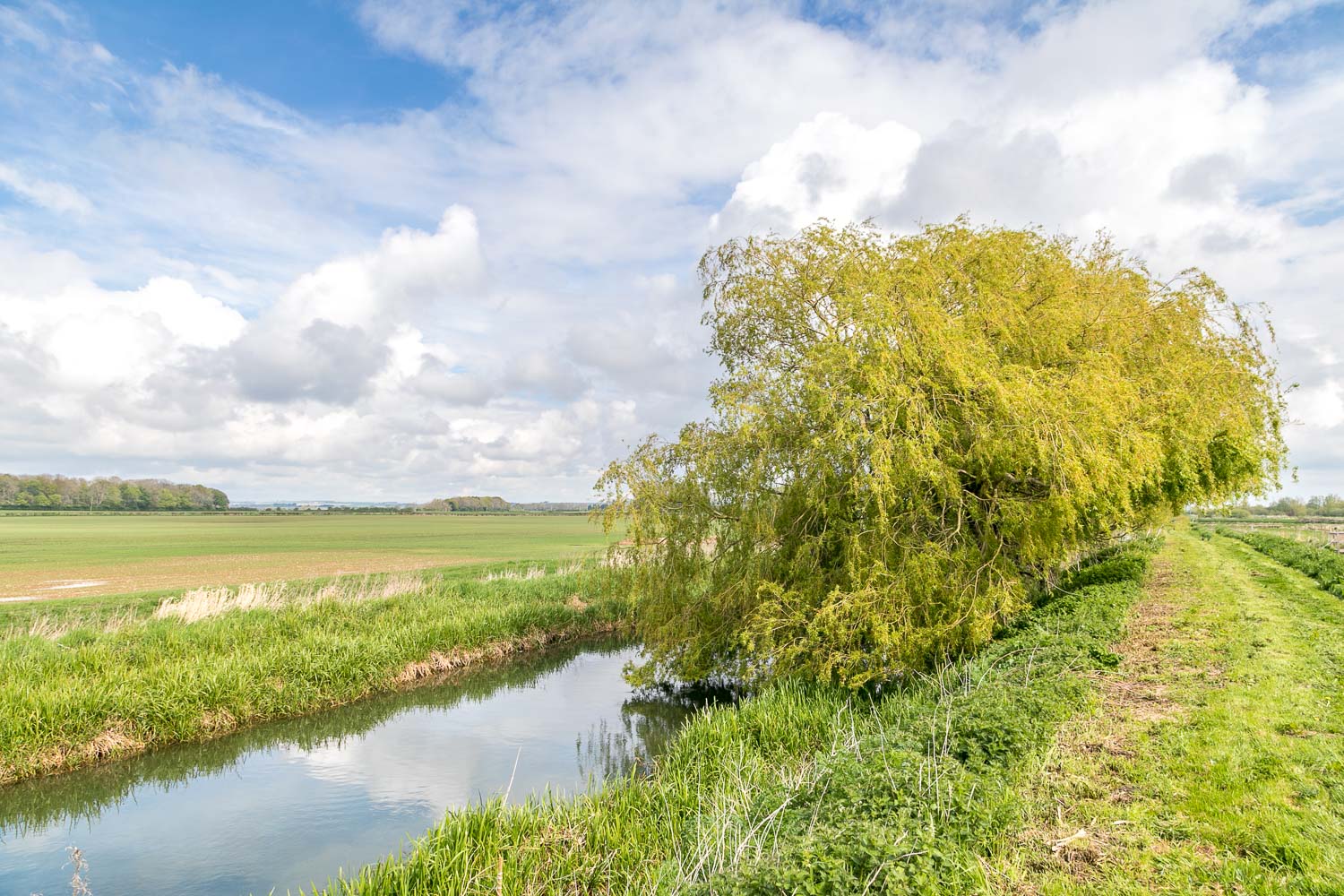
The crystal clear chalk stream is a globally rare habitat, and there are only 200 such streams in the world, 85% of which are in England
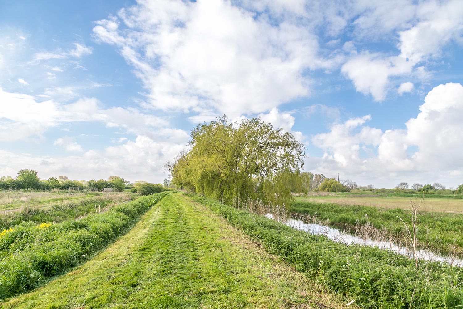
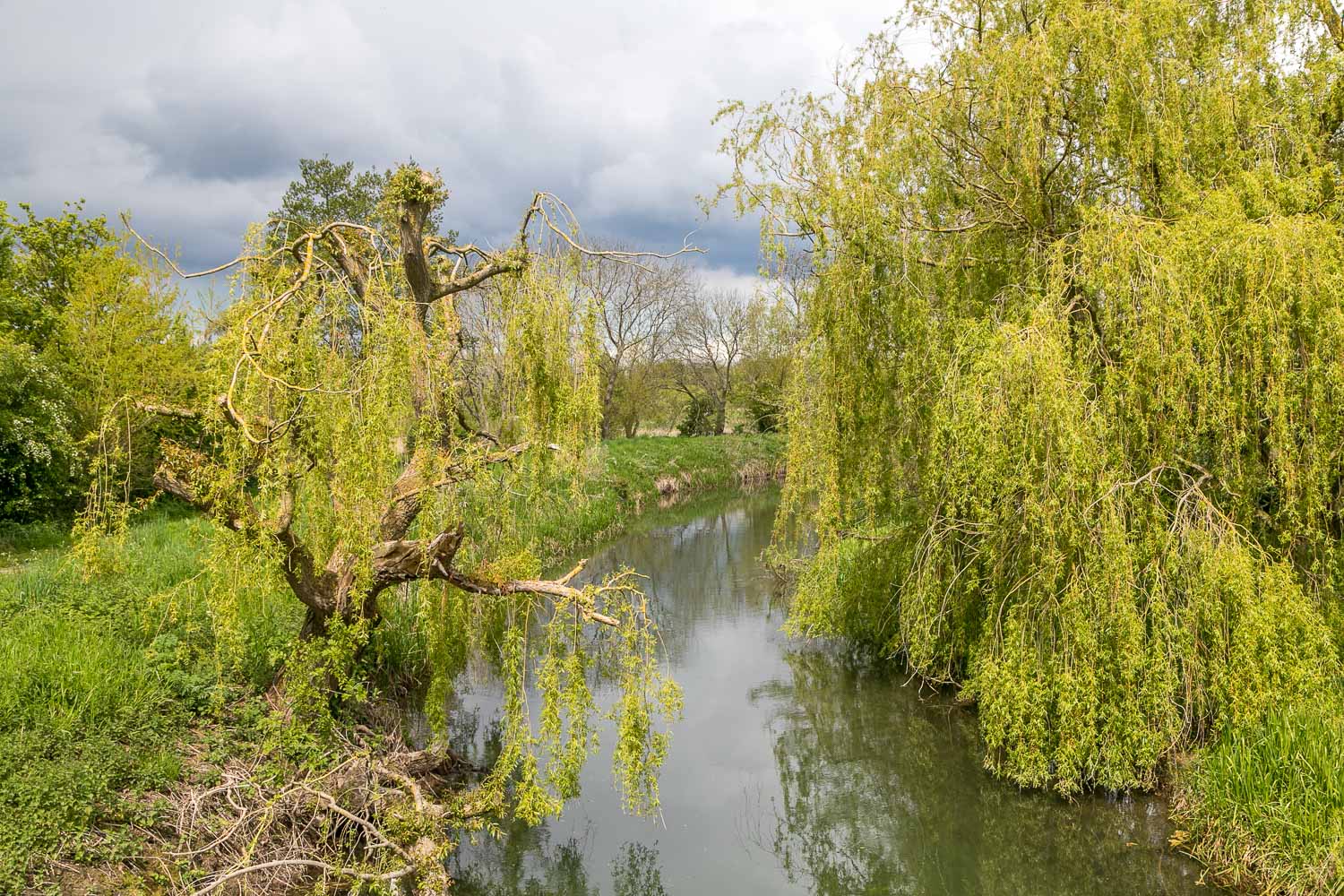
The stream supports a variety of wildlife including brown trout, grayling, lamprey, bullhead, water vole, otter, water shrew and kingfisher
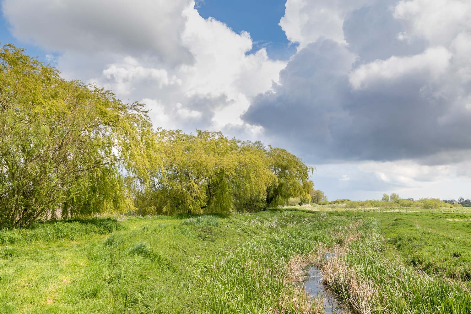
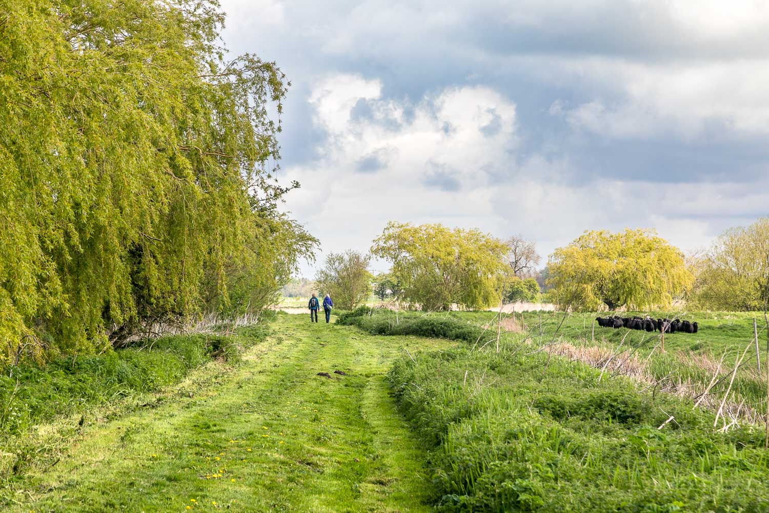
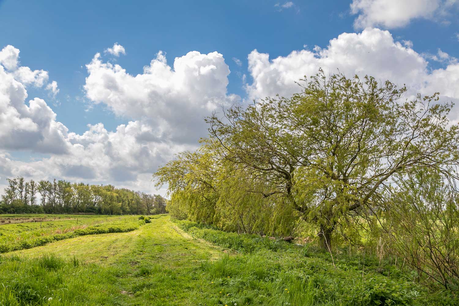
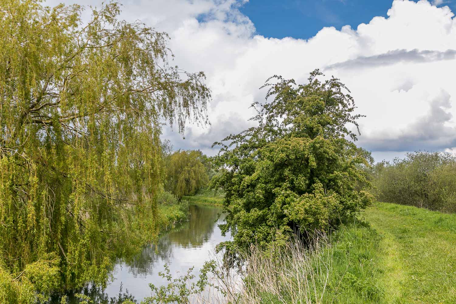
Beyond the weeping willows we reach the end of the public part of the reserve, and will retrace our steps
