Route: Settrington and North Grimston
Area: North Yorkshire
Date of walk: 21st July 2024
Walkers: Andrew
Distance: 7.4 miles
Ascent: 600 feet
Weather: Mostly sunny, clouding over towards the end
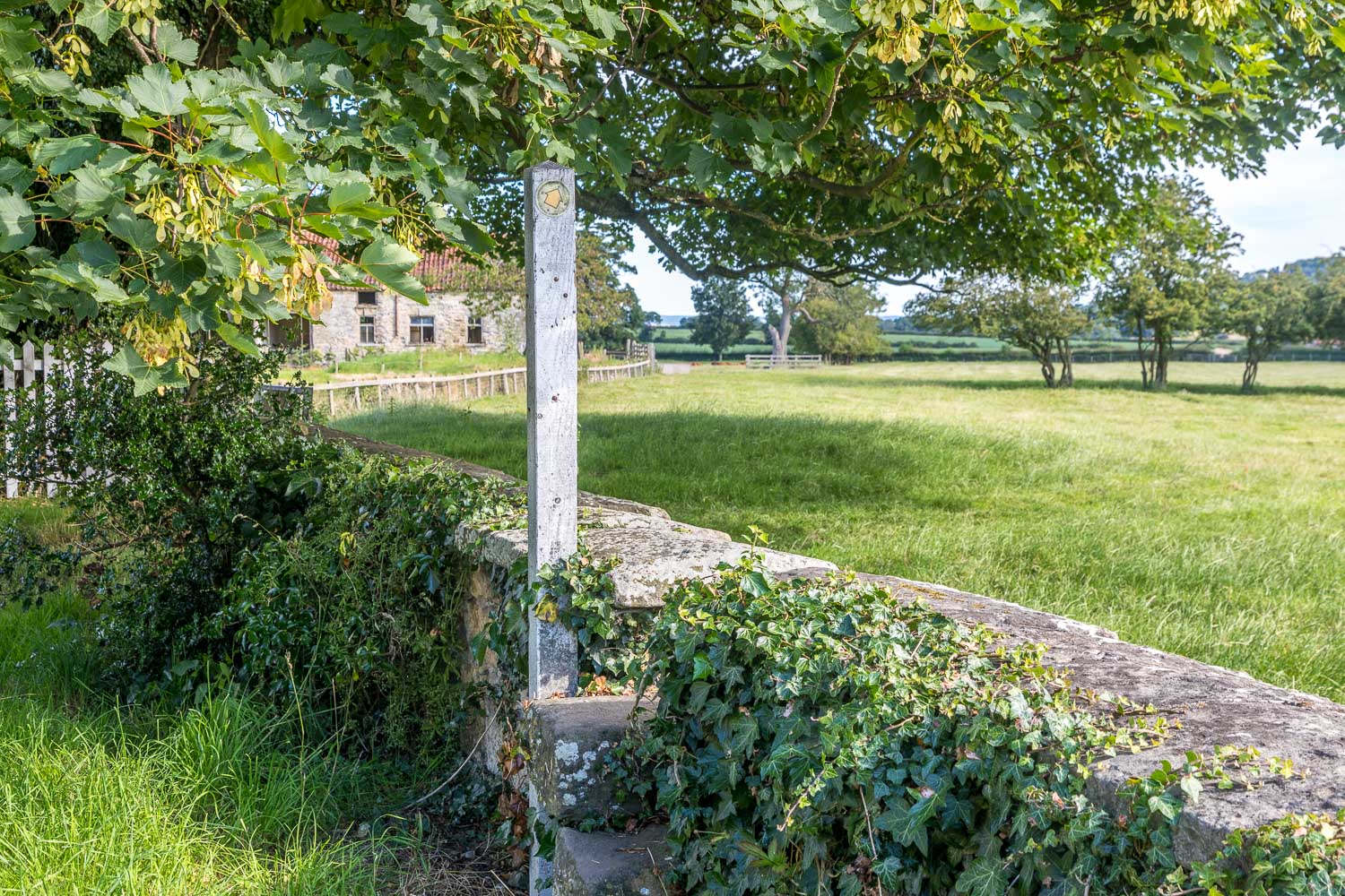
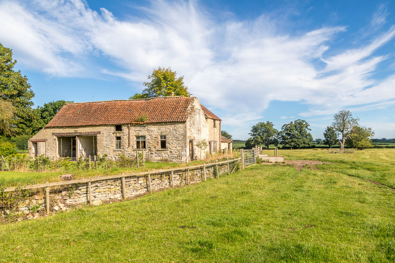
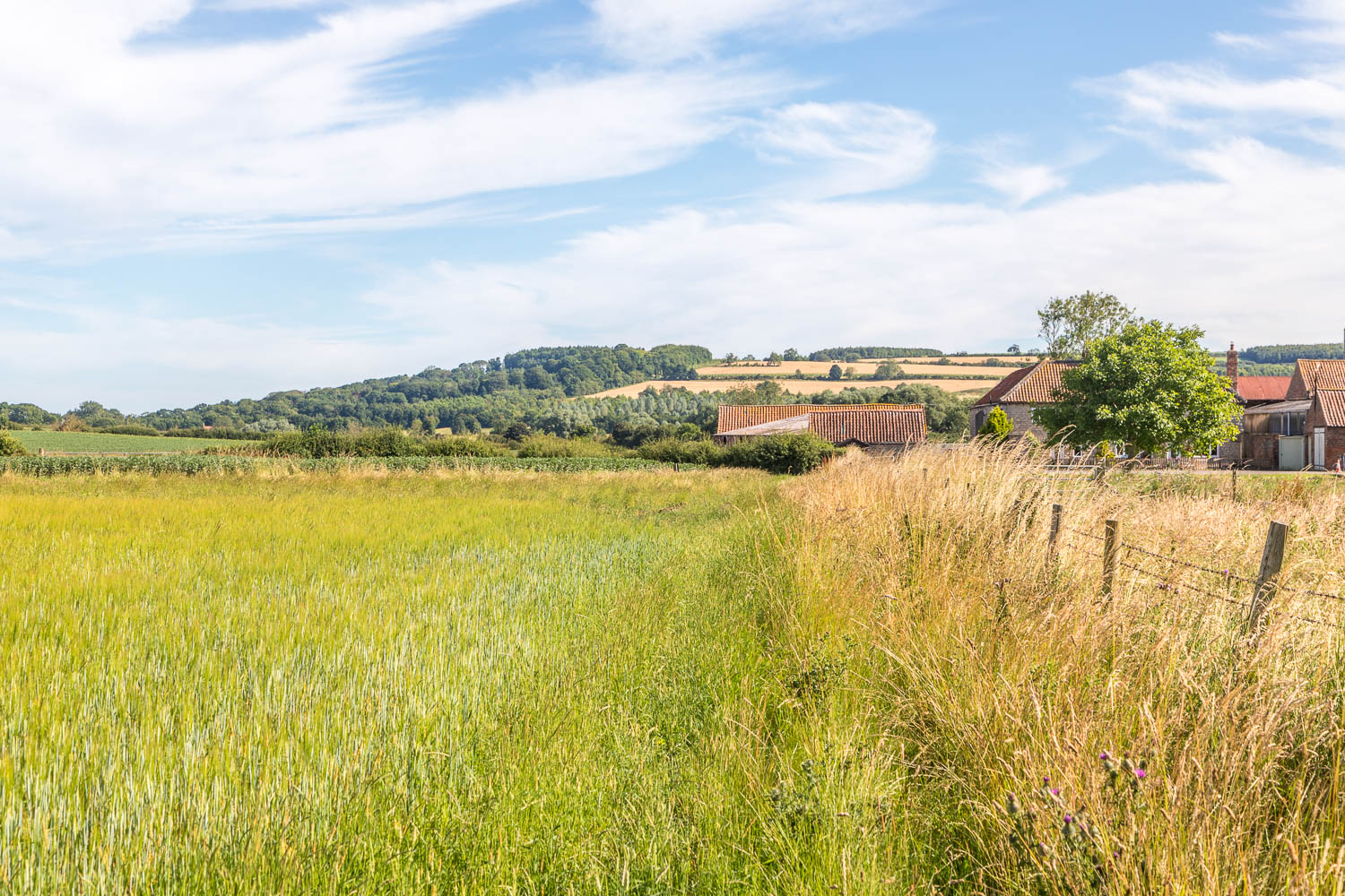
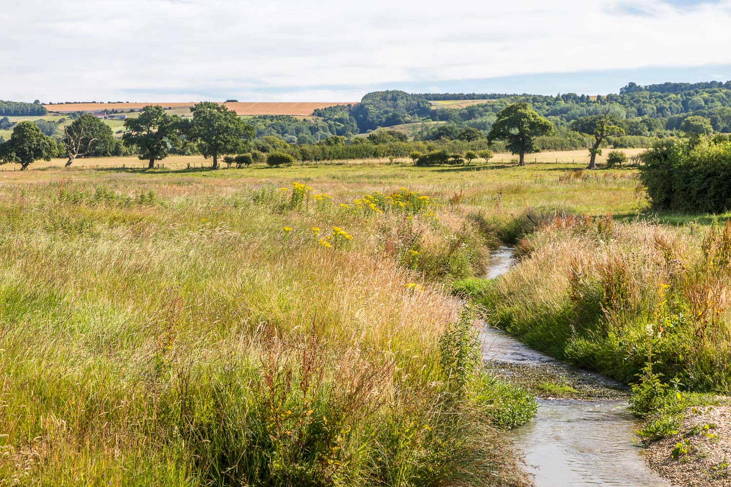
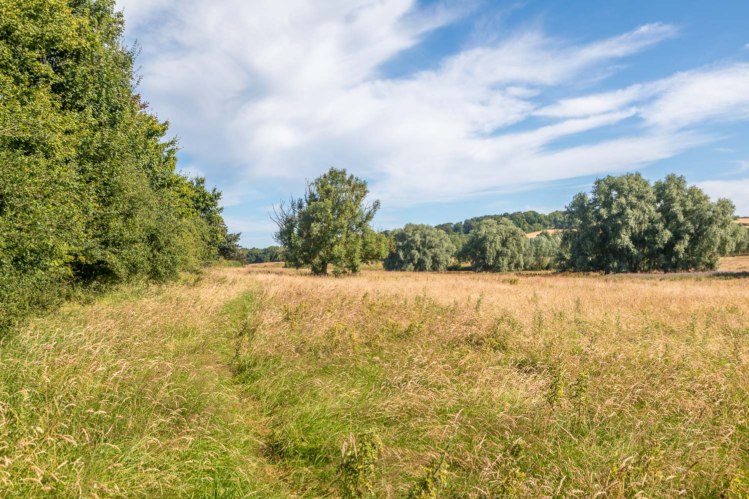
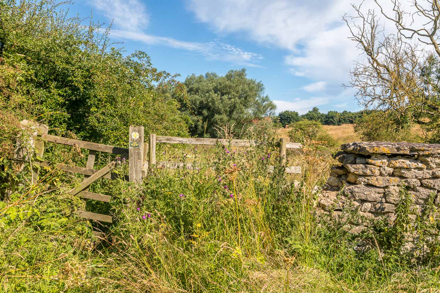
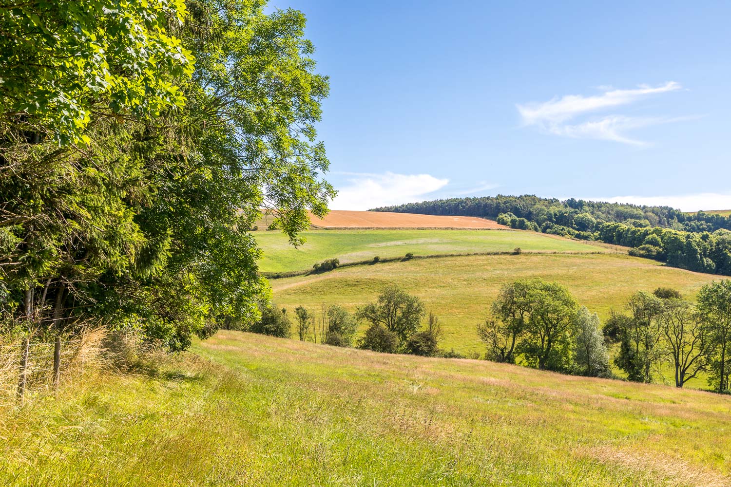
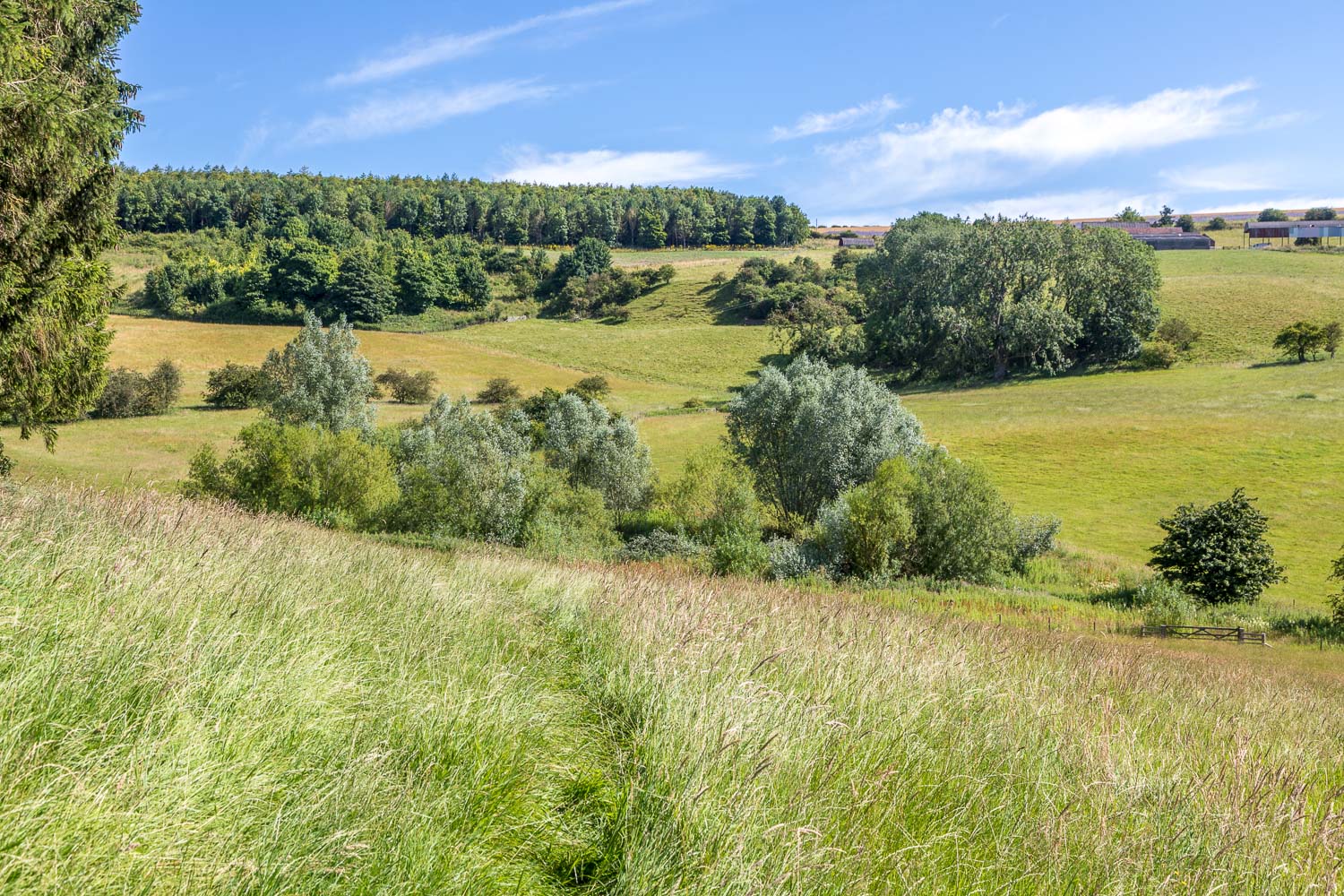
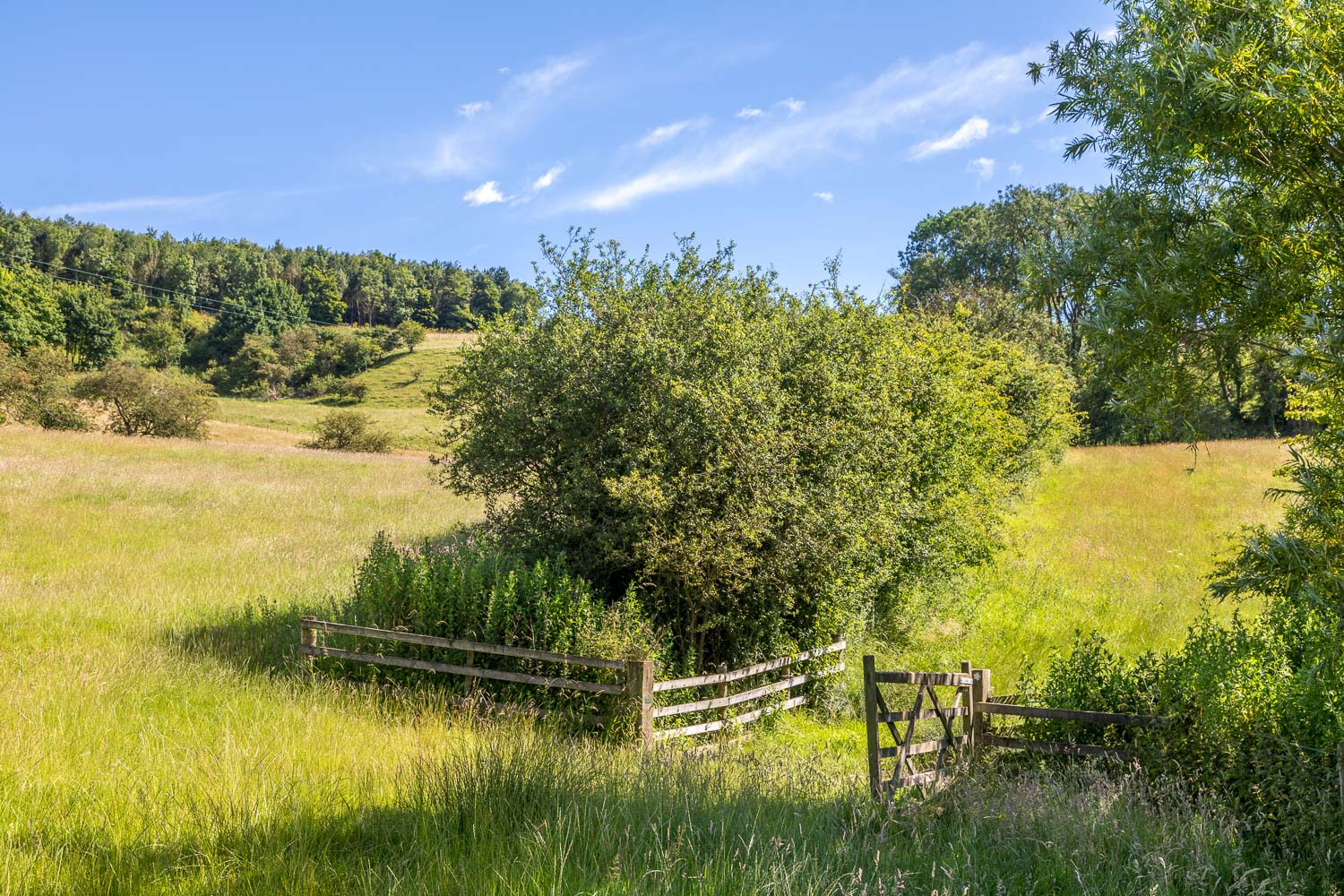
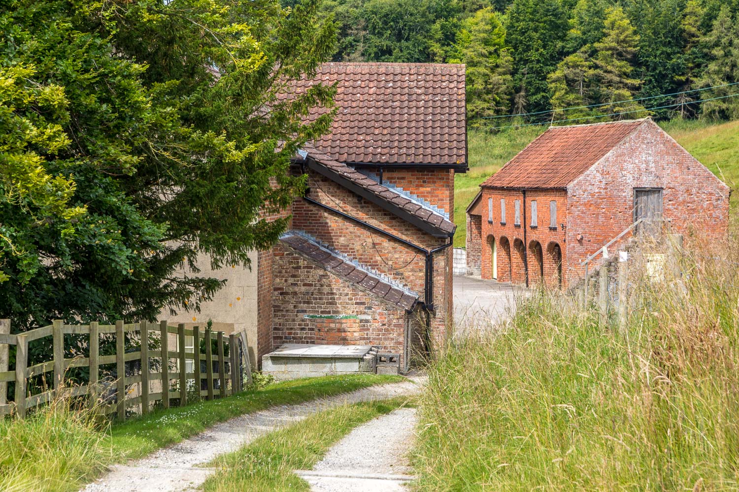
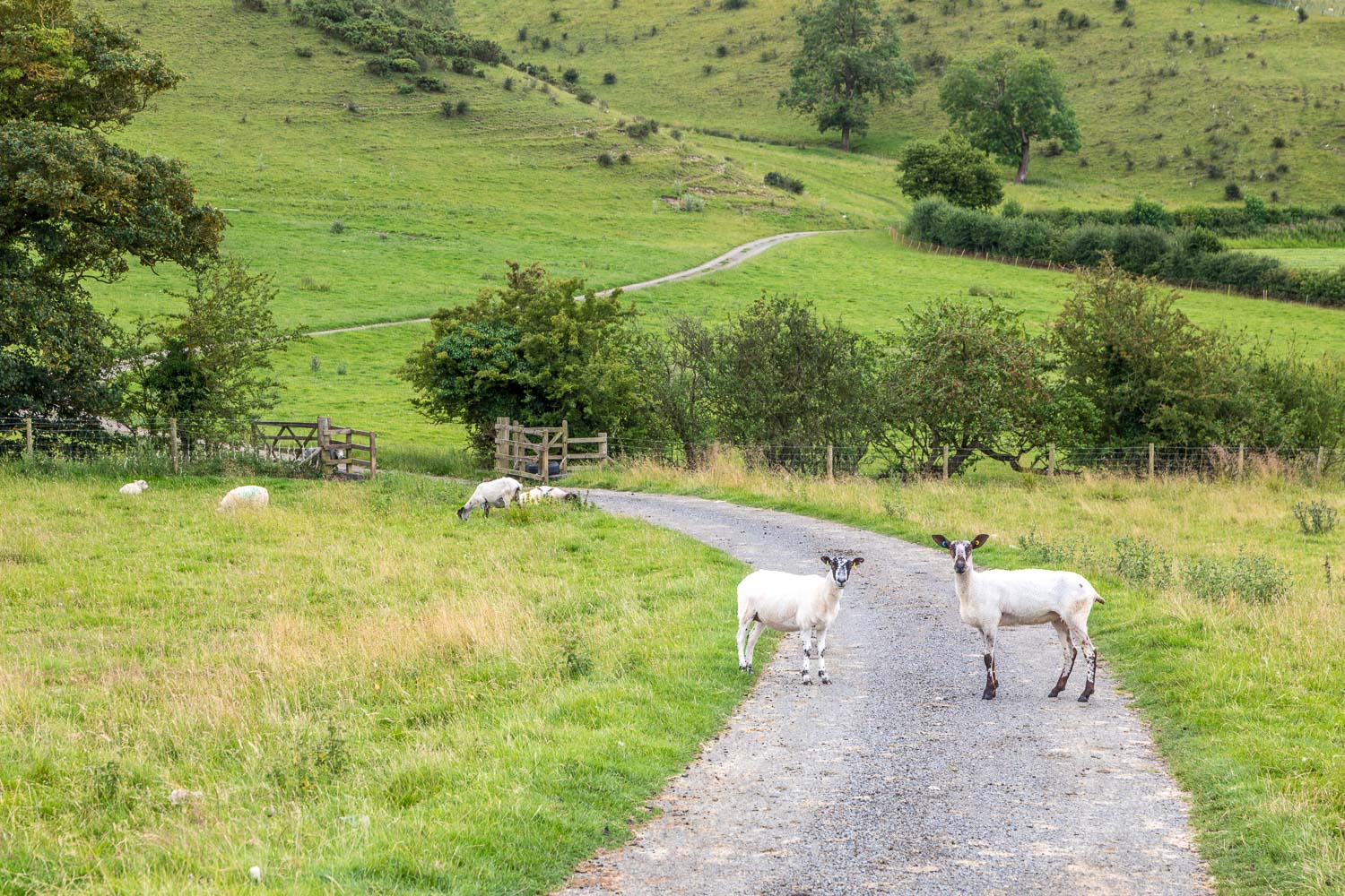
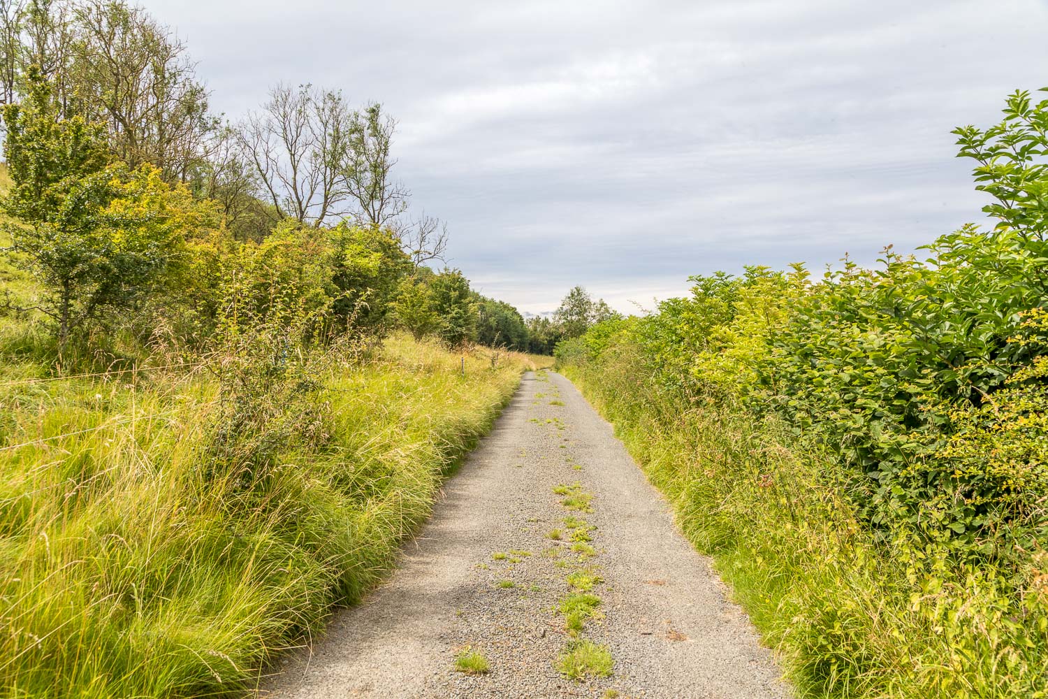
Today’s walk started from the village of North Grimston in the Yorkshire Wolds, although it could be conveniently started from Settrington or from Settrington Beacon, both of which are passed along the way. There are a few parking spaces by the roadside opposite the old post office and from here I headed north, making a very short there and back detour to see St Nicholas’ Church which dates back to the 12th century. I then rejoined the path to Settrington, part of the long distance Centenary Way In the first field beyond North Grimston I had close sightings of three red kites, and a little further along a tawny owl flew out of the trees on my left. I walked past Bellmanear Farm and followed a succession of paths, with Settrington Beck a constant companion on my right. The paths were mostly through grassland which had been left uncut and this made the route a little vague at times. This is a perfect habitat for butterflies, which were fluttering around in profusion – mostly ringlets, but also meadow brown, red admiral and marbled white
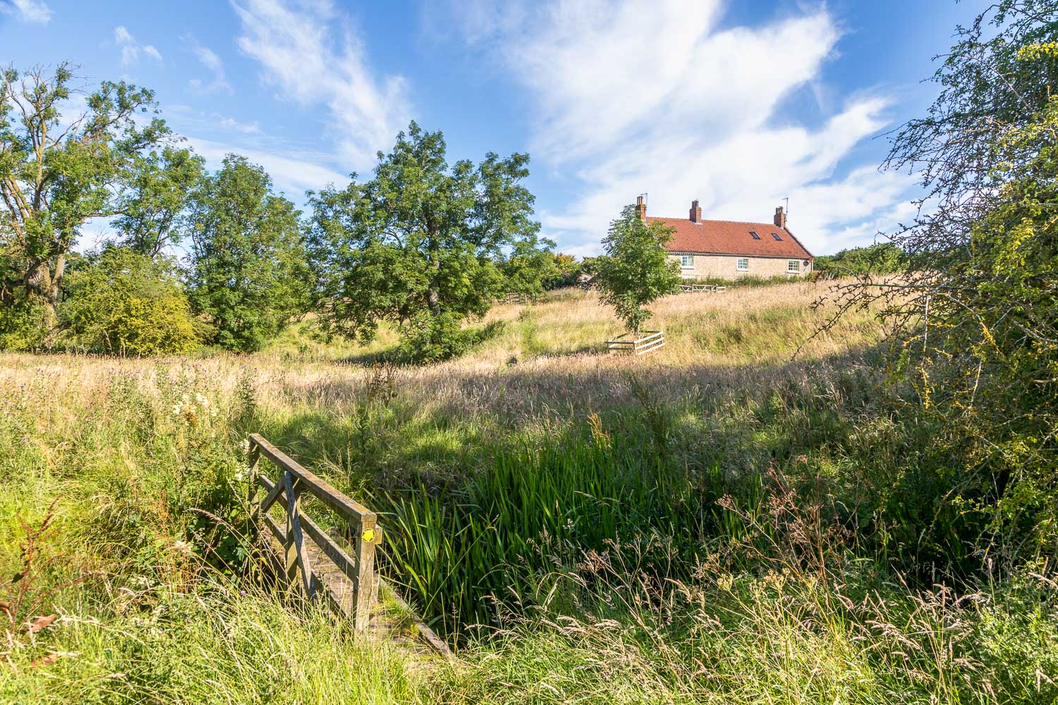
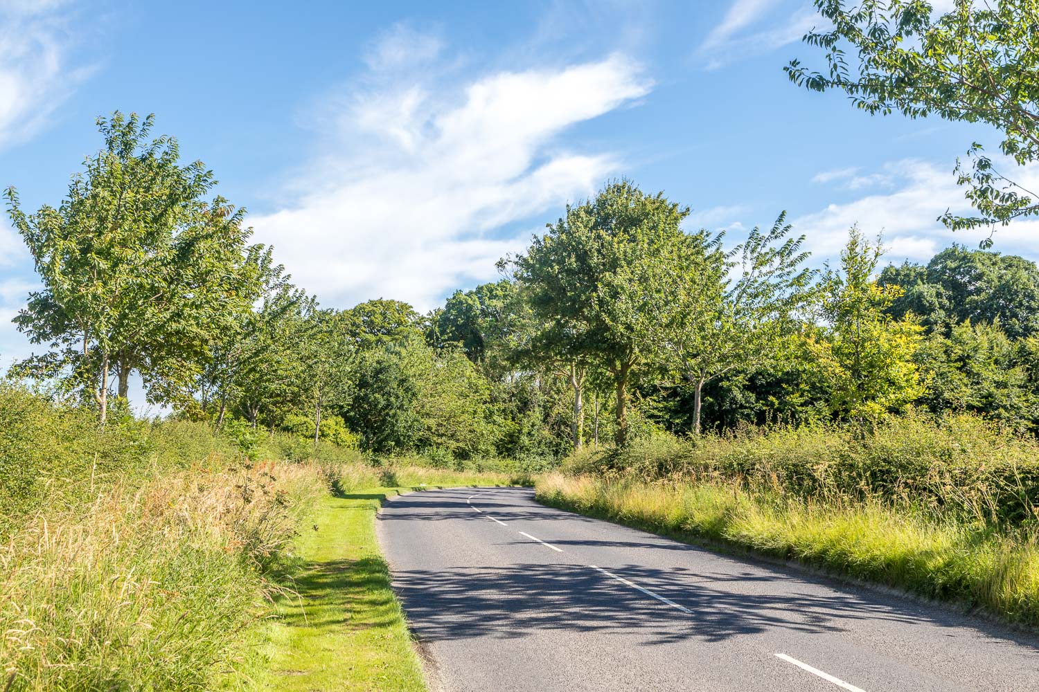
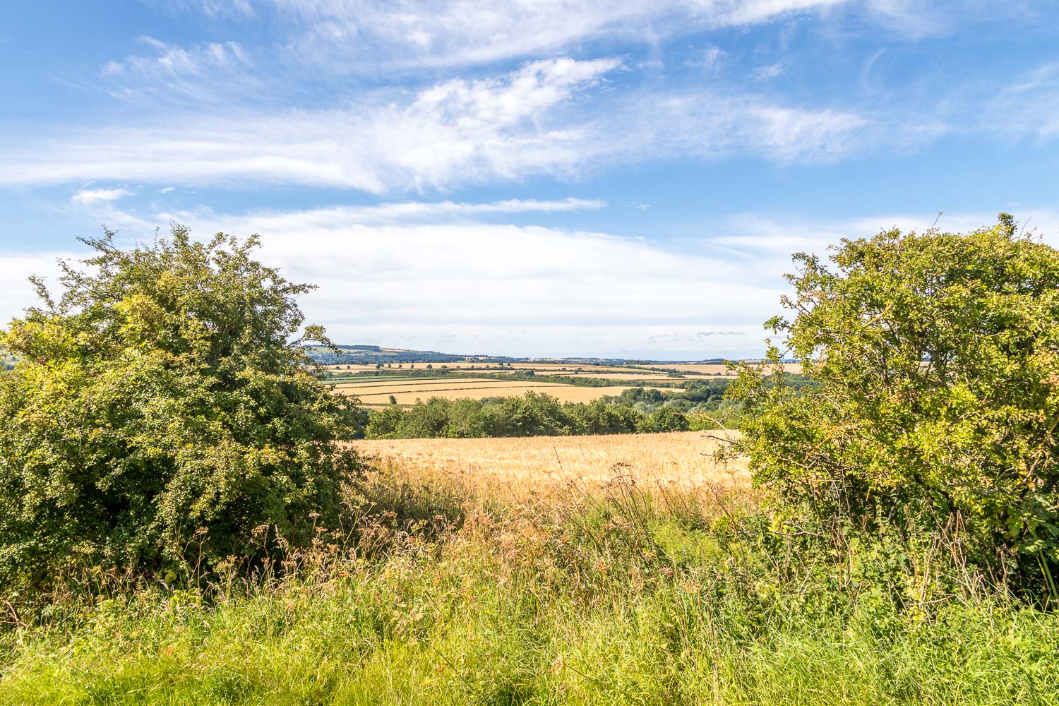
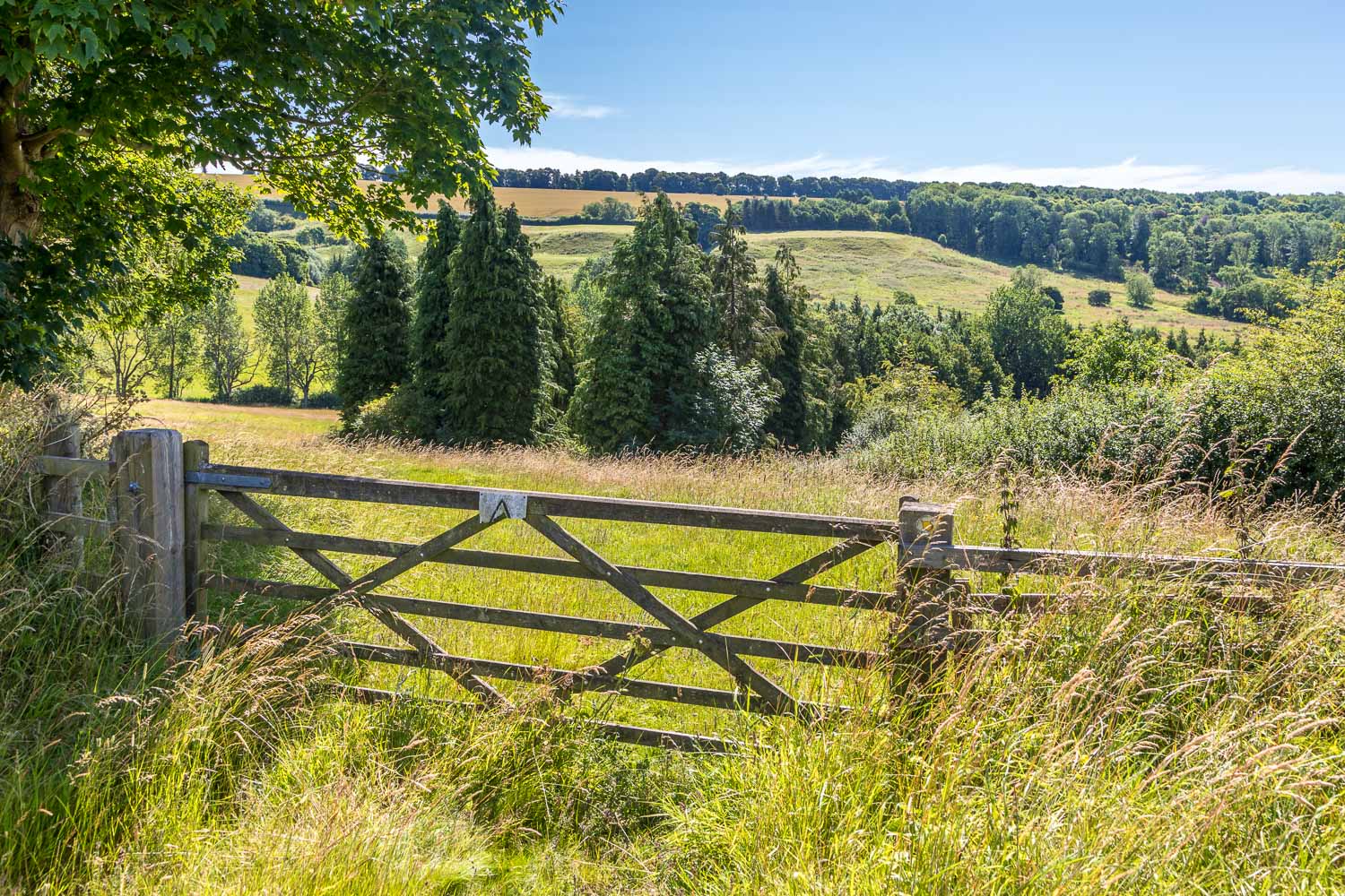
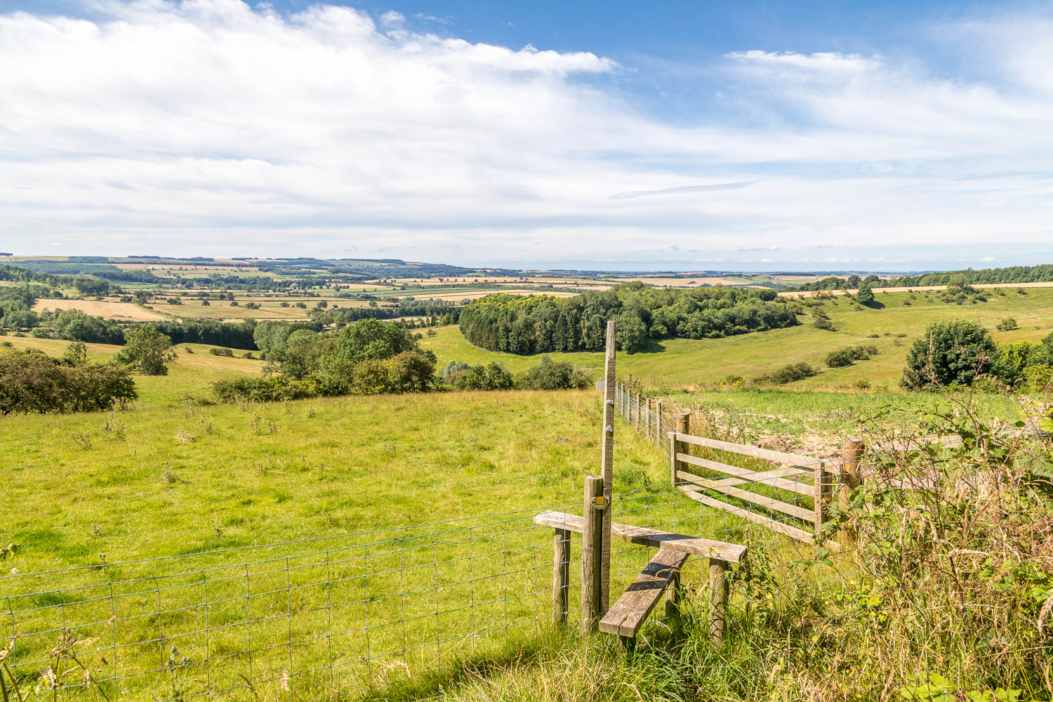
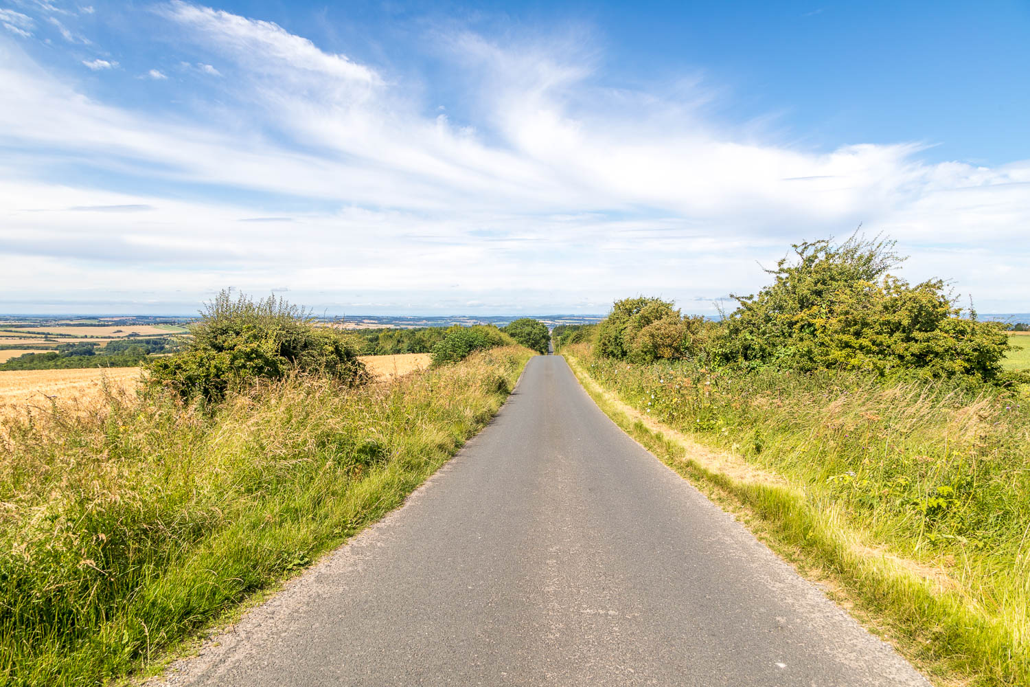
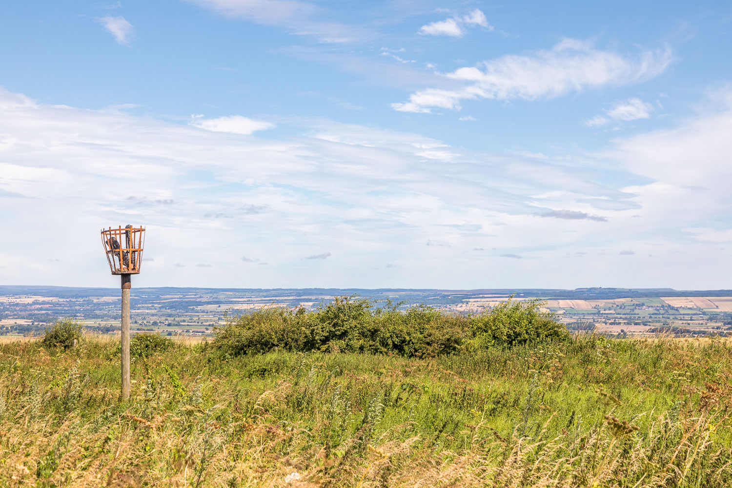
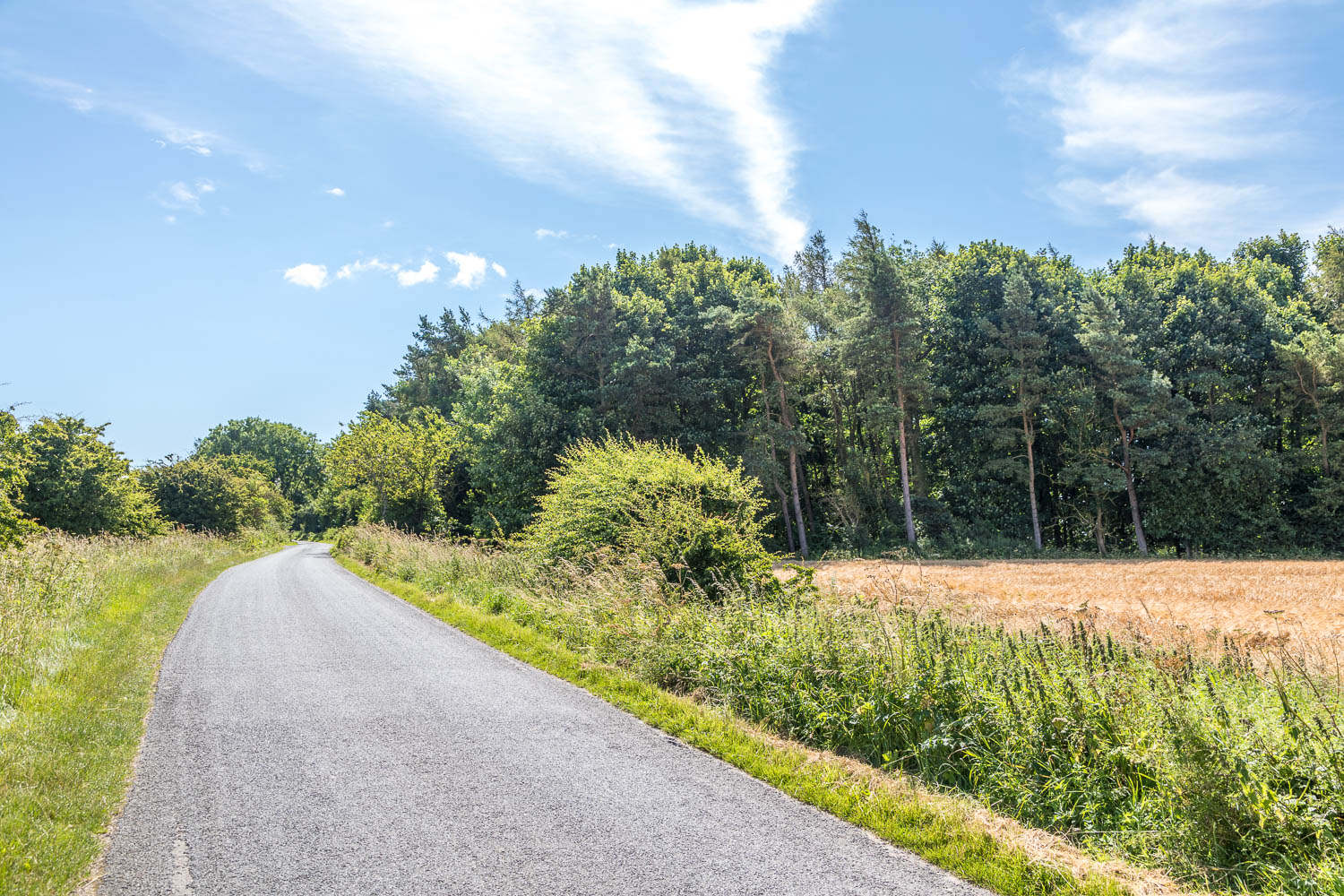
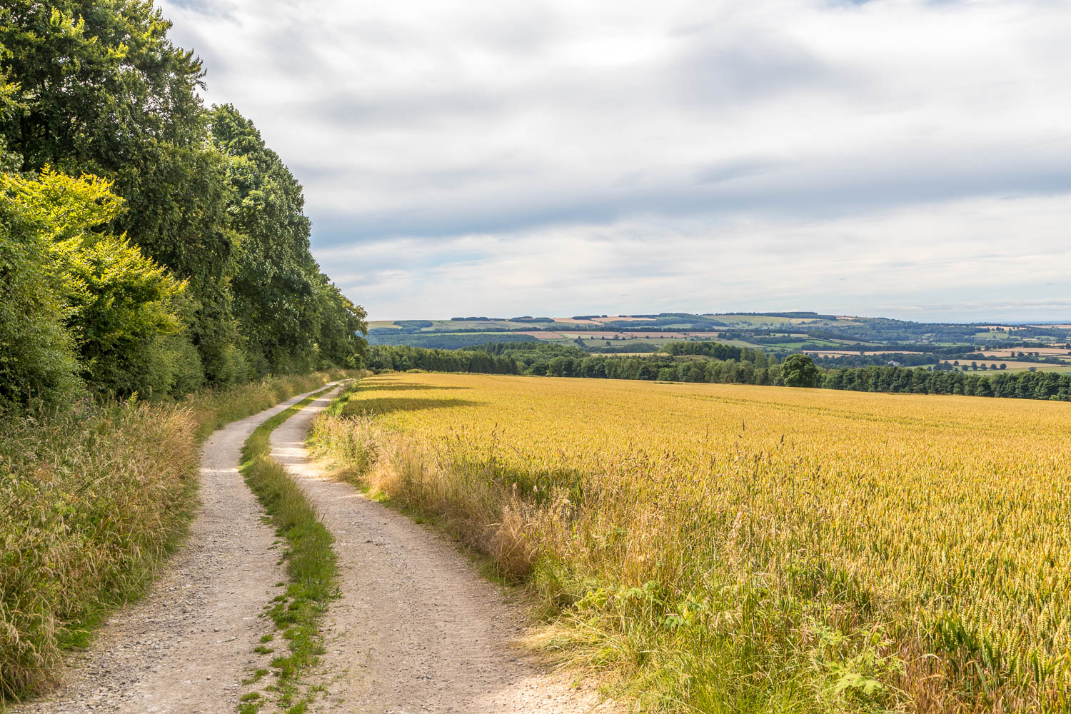
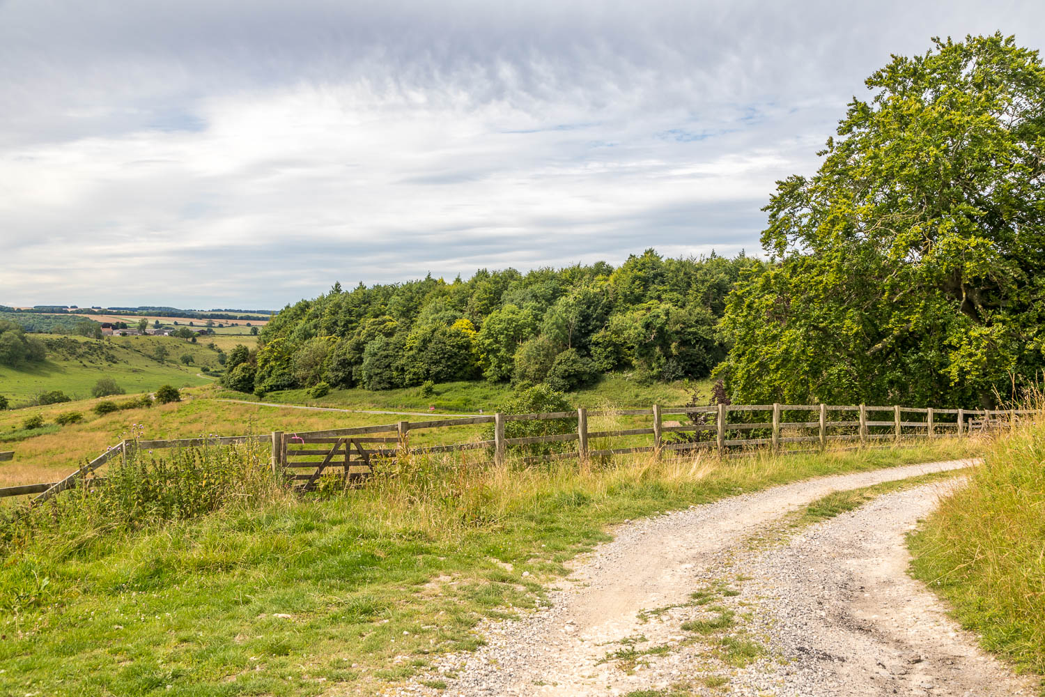
On reaching Kirk Hill I crossed Settrington Beck via a small footbridge and joined Back Lane. At a junction I turned right (a short diversion to the left would be needed to visit Settrington village). After passing by Settrington House the road climbed quite steeply up the wold. After a short distance I turned off the road to follow a track to Wardale, beyond which I climbed up through the fields to reach a quiet lane leading to Settrington Beacon, the highest point of the walk at 199 metres. There were extensive views over the surrounding countryside on this part of the walk
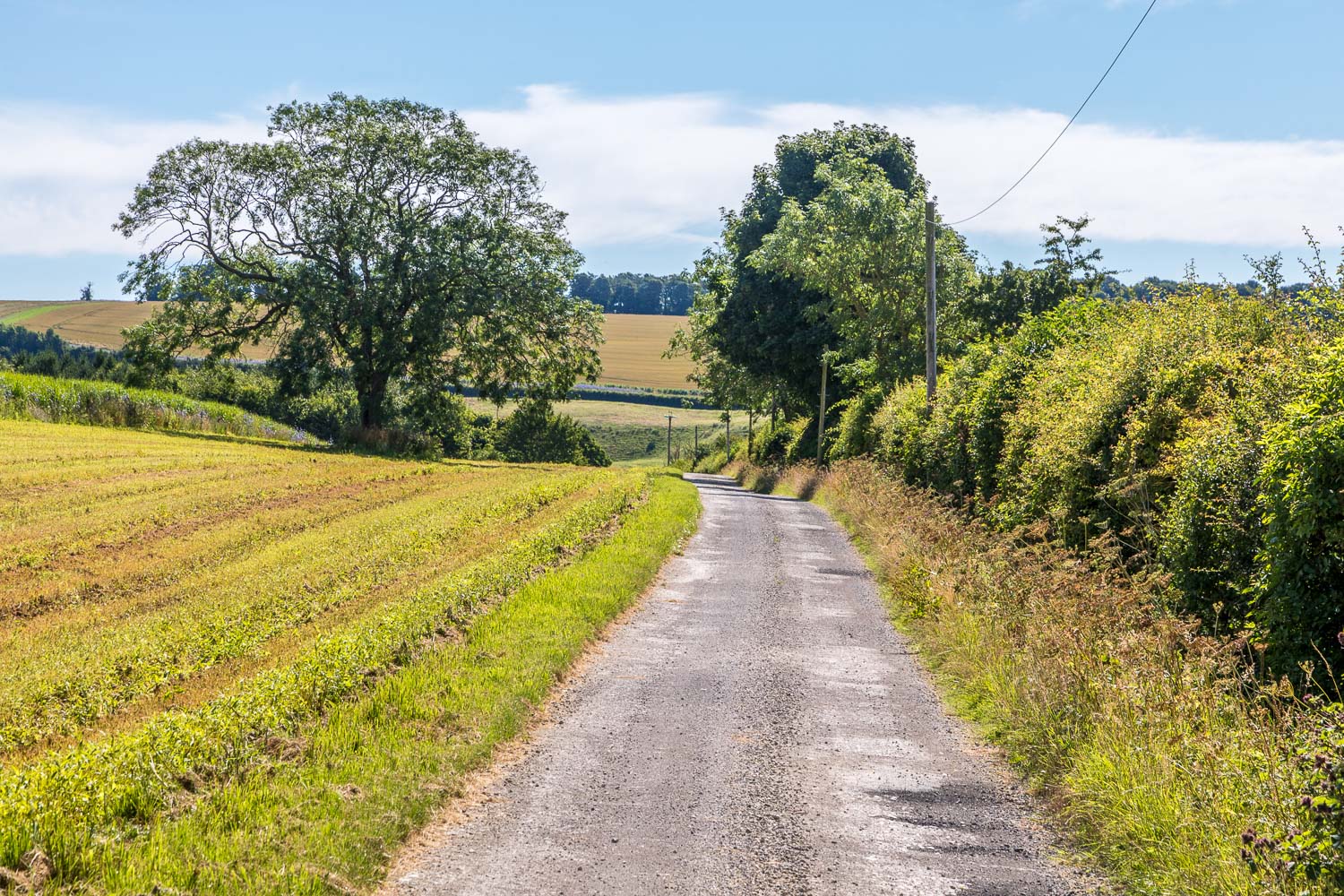
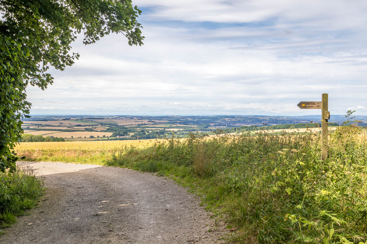
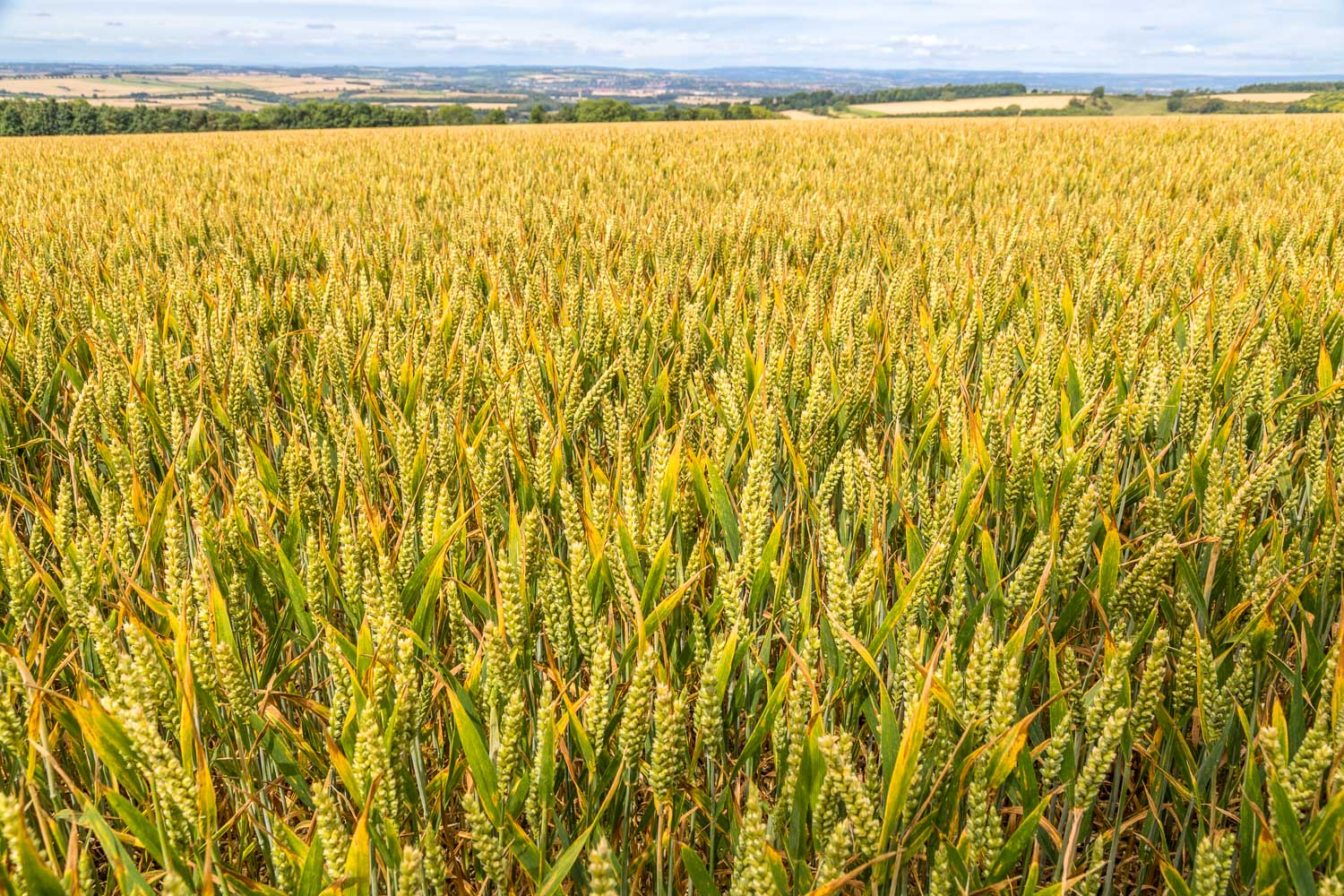
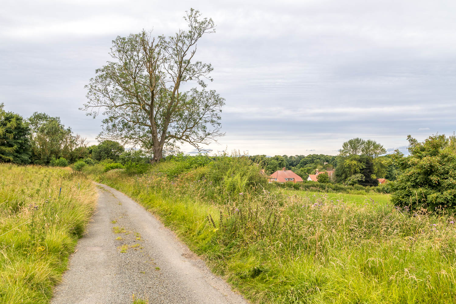
On reaching the Beacon I turned right and followed the track to High Bellmanear to begin the return to North Grimston. This is part of the Centenary Way and also the Yorkshire Wolds Way, which reminded me that I’d followed this track 8 years ago when walking from Thixendale to Wintringham as a section of the Wolds Way long distance route. Walking was easy going as a succession of farm tracks took me gently downhill through fields of wheat and barley. Blue skies were overtaken by grey clouds as I approached North Grimston to end a very pleasant walk on the Yorkshire Wolds
Click on the icon below for the route map (subscribers to OS Maps can view detailed maps of the route, visualise it in aerial 3D, and download the GPX file. Non-subscribers will see a base map)
Scroll down – or click on any photo to enlarge it and you can then view as a slideshow


