Route: Rydal Water
Area: Central Lake District
Date of walk: 28th December 2018
Walkers: Andrew and Gilly
Distance: 2.7 miles
Ascent: 300 feet
Weather: Cloudy
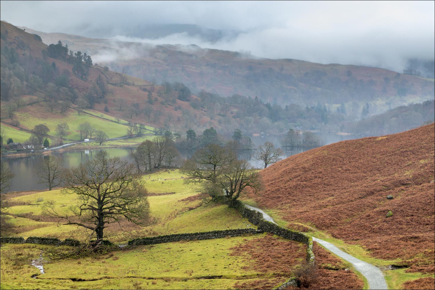
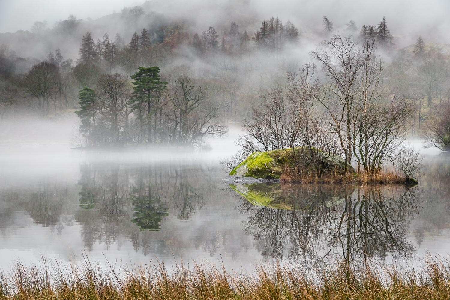
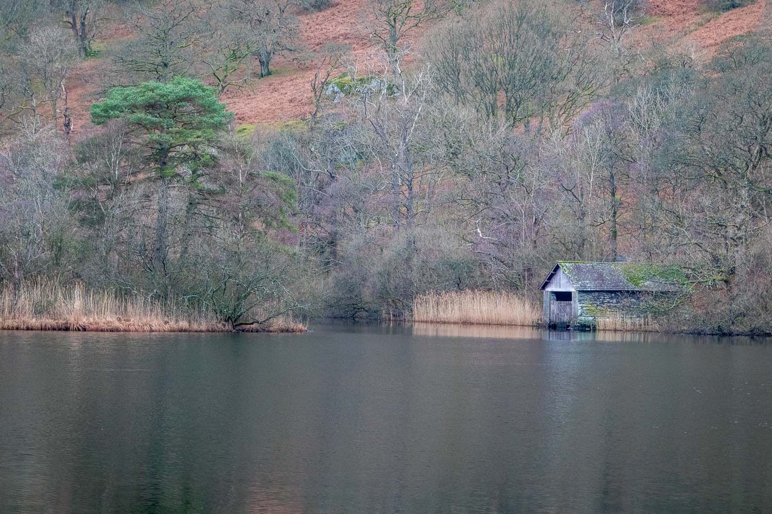
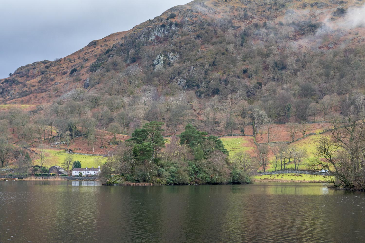
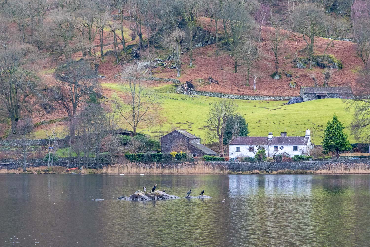
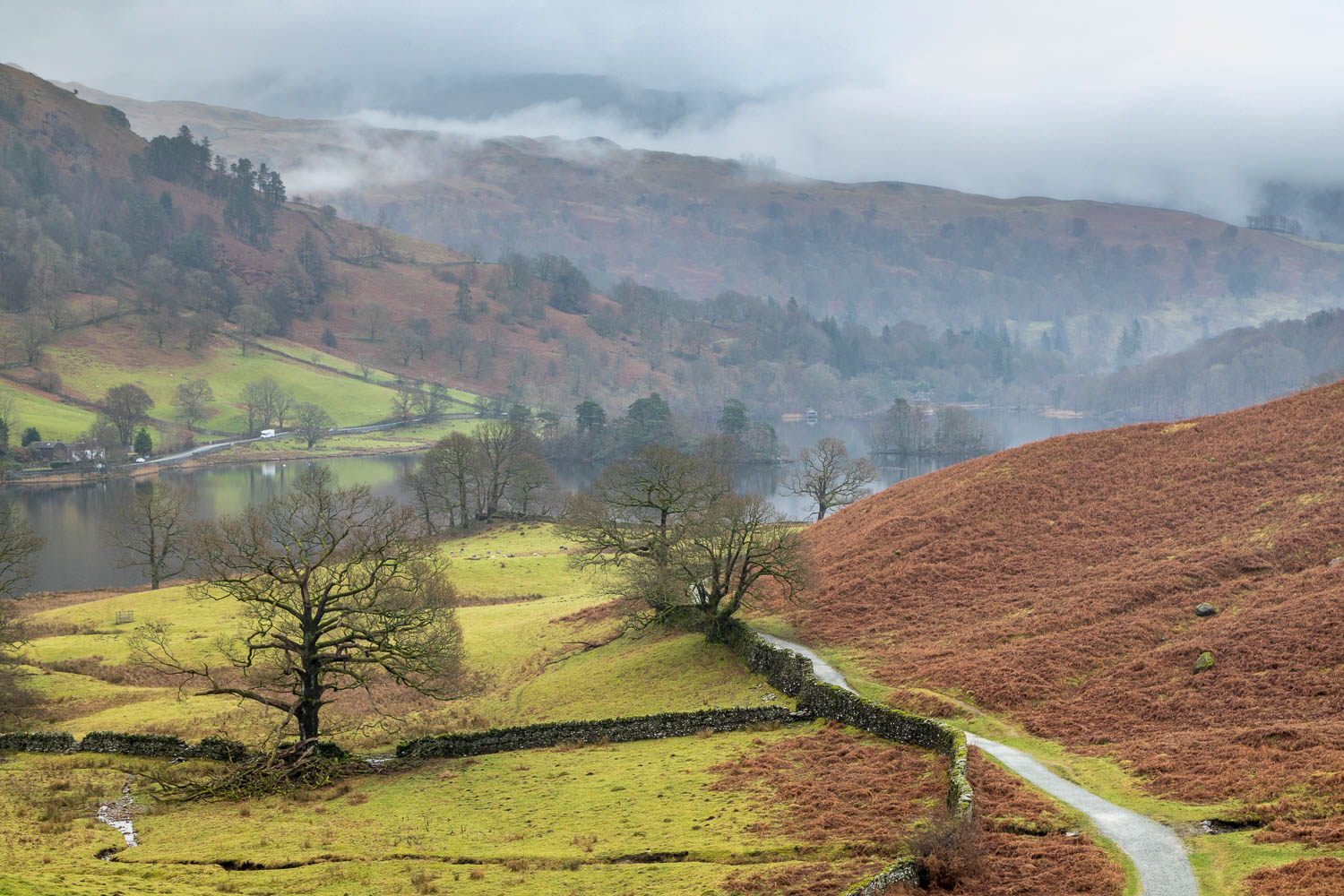
The northern fells were completely obscured by cloud and mist this morning, and a fell walk would have been pointless. My thoughts turned to a walk I’d done a year ago in similar conditions, when the Rydal Water islands were looking magical – click here to see it. We decided to revisit the lake, hoping that the low cloud and light rain would have deterred most people from walking at what is a very busy time of the year. I’d overlooked that last year’s walk was three days before Christmas, whereas today’s would be three days after it – a big difference in terms of the volume of visitors to the honeypot parts of the Lake District
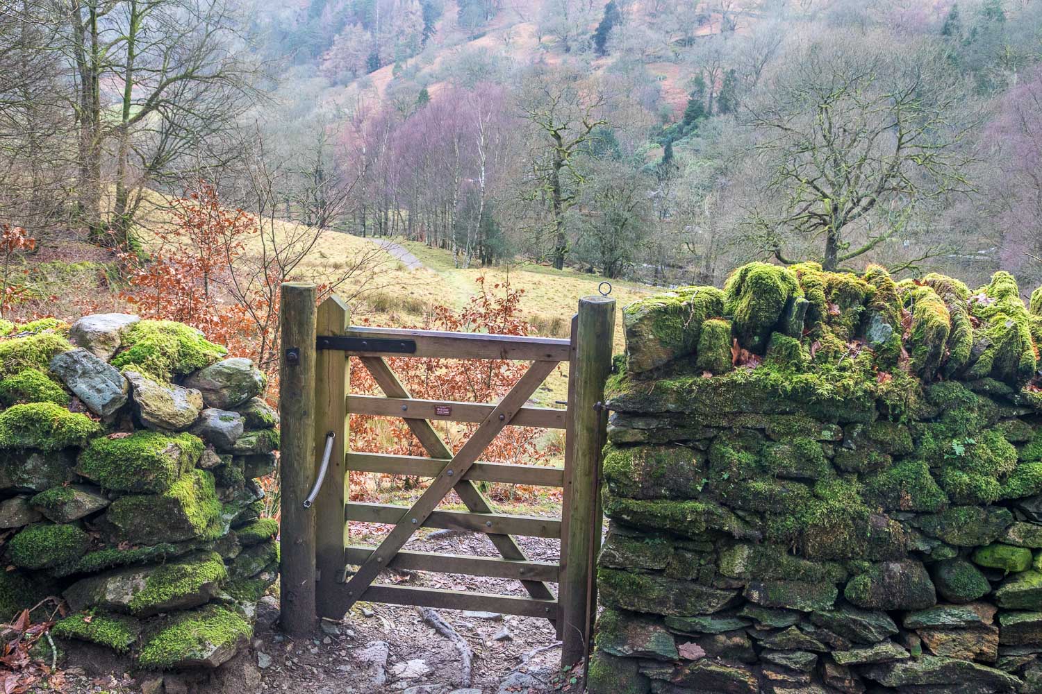
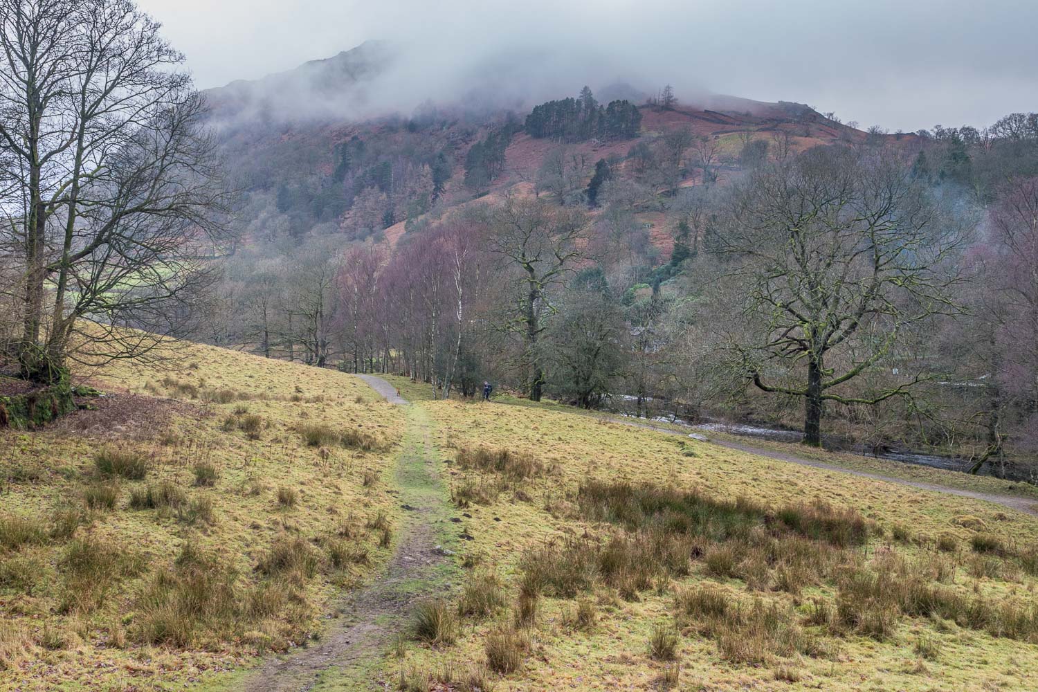
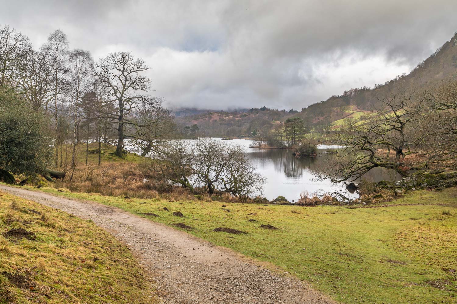
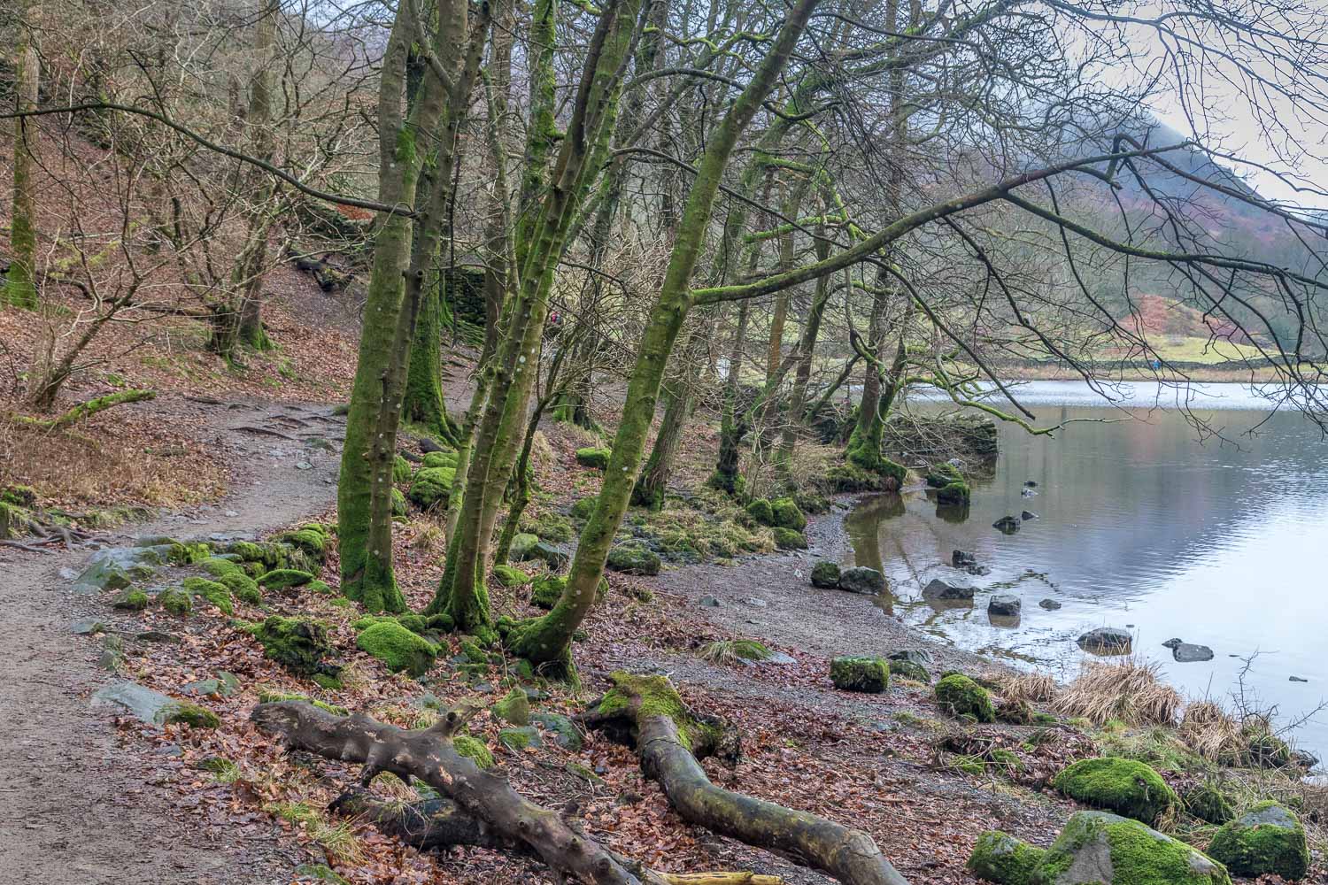
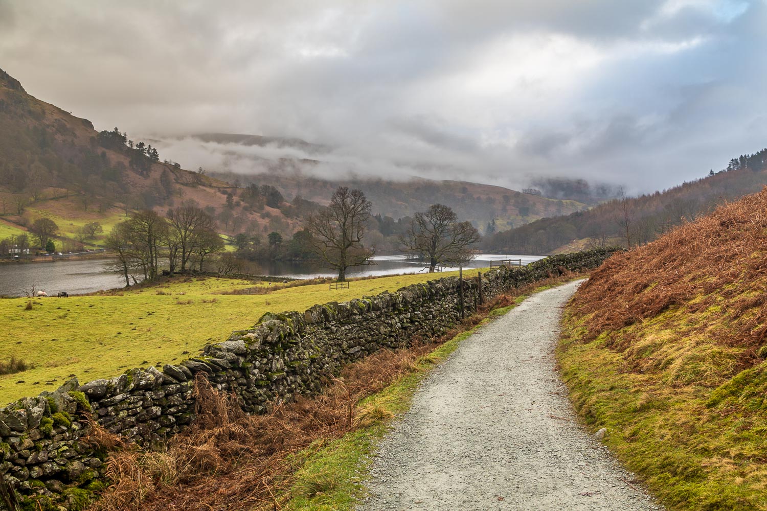
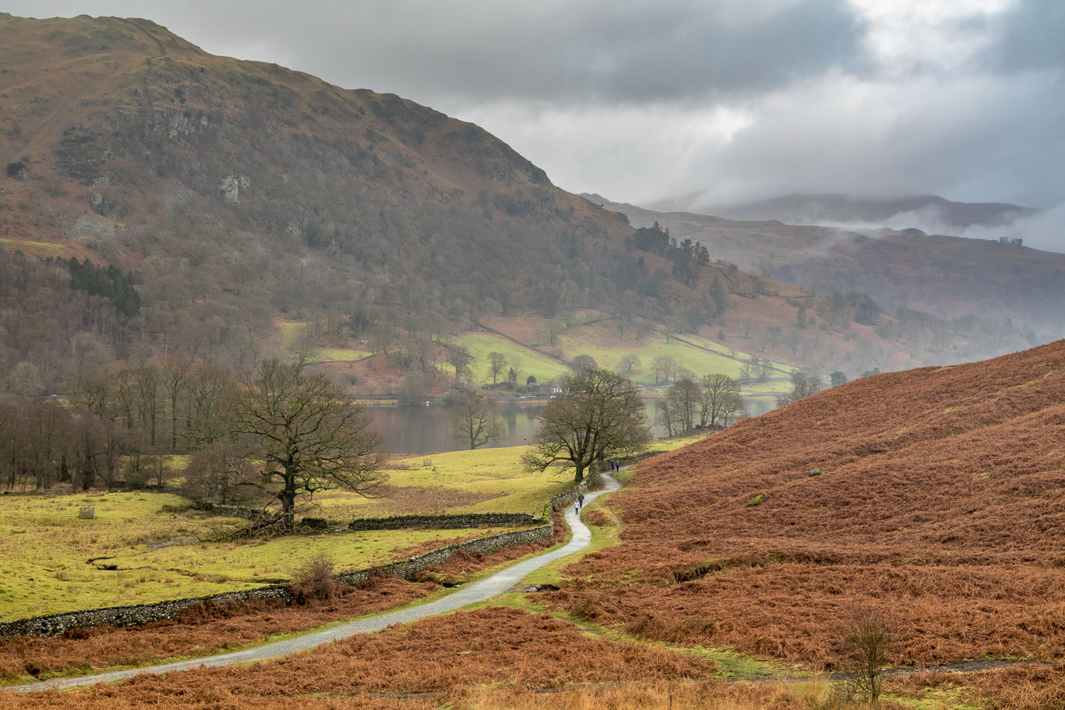
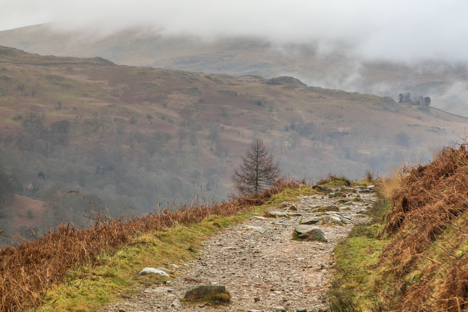
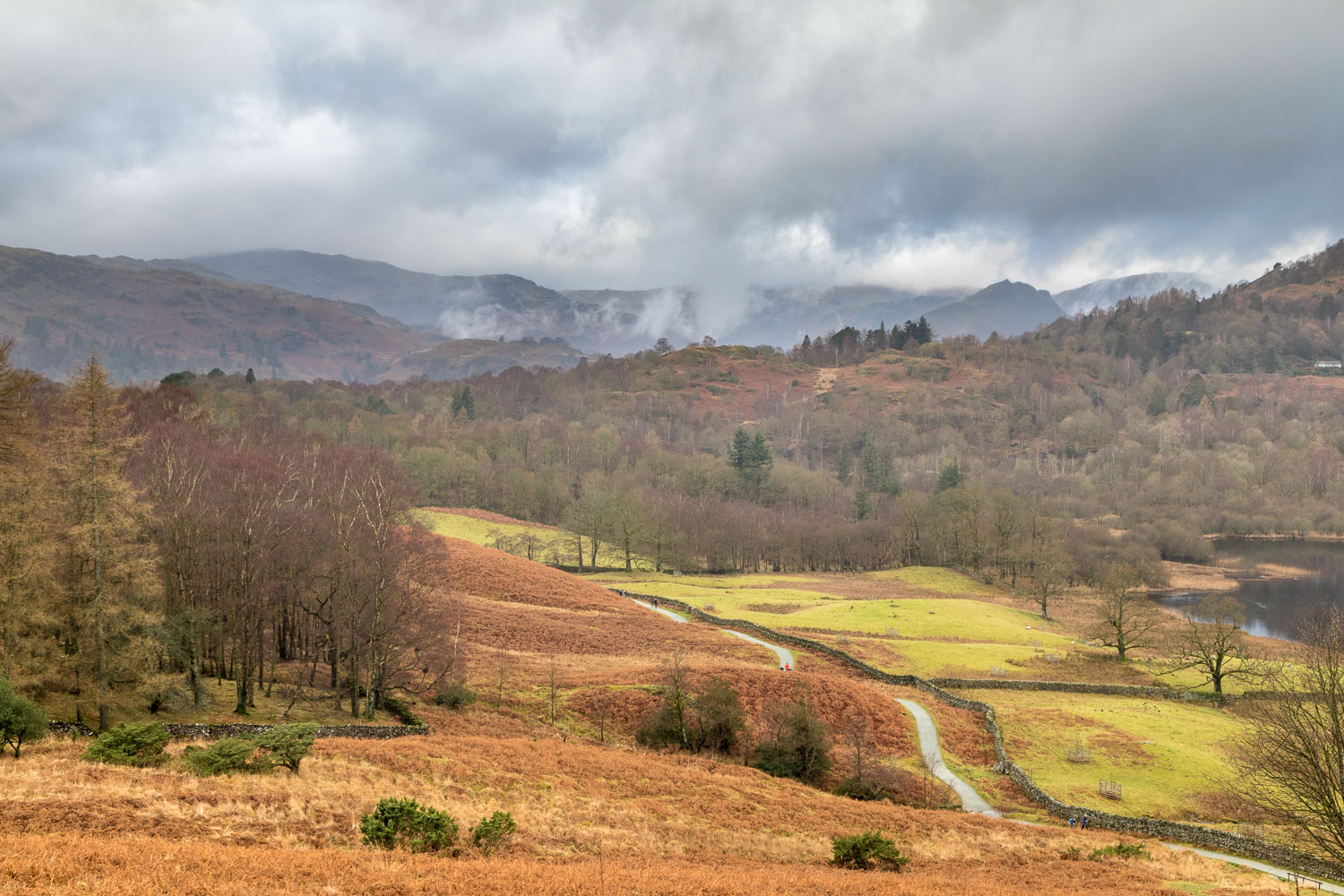
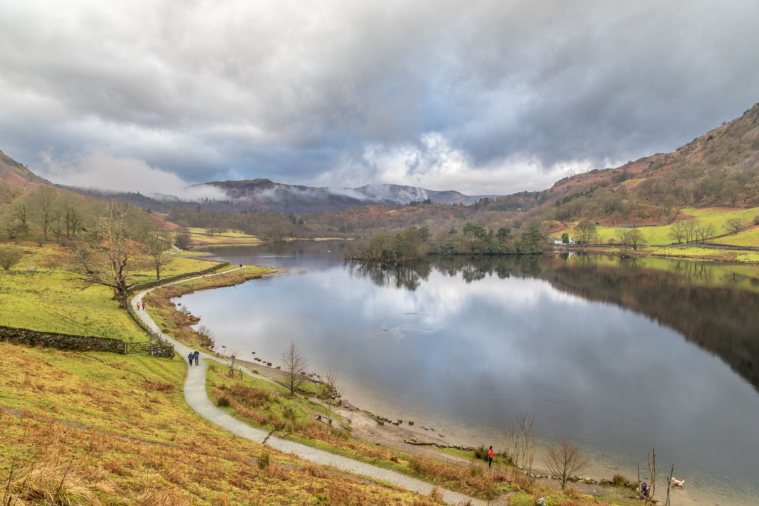
We parked in the public car park on the other side of Pelter Bridge on the outskirts of Rydal. By now the mist had lifted and the weather was rather dull and uninspiring. We followed the track west, and then turned off to join a footpath leading to the shore of Rydal Water. As we arrived at the lakeshore path we looked along and saw a procession of folk, like a line of ants, and our hearts sank. My mood wasn’t improved by the sight of discarded orange peel along the path.
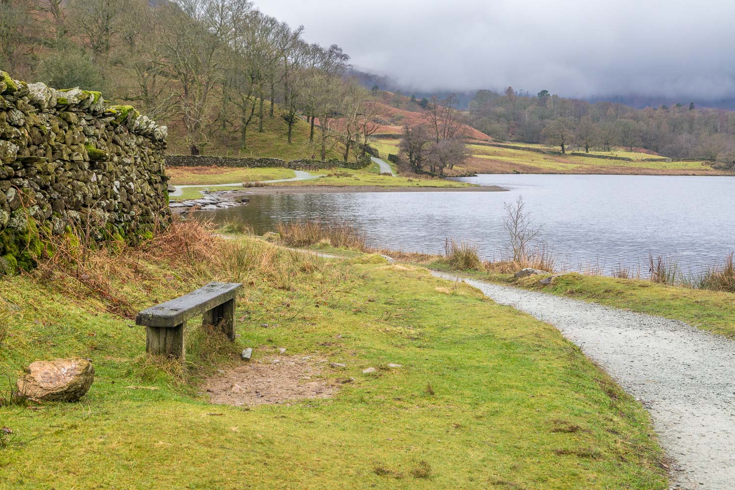
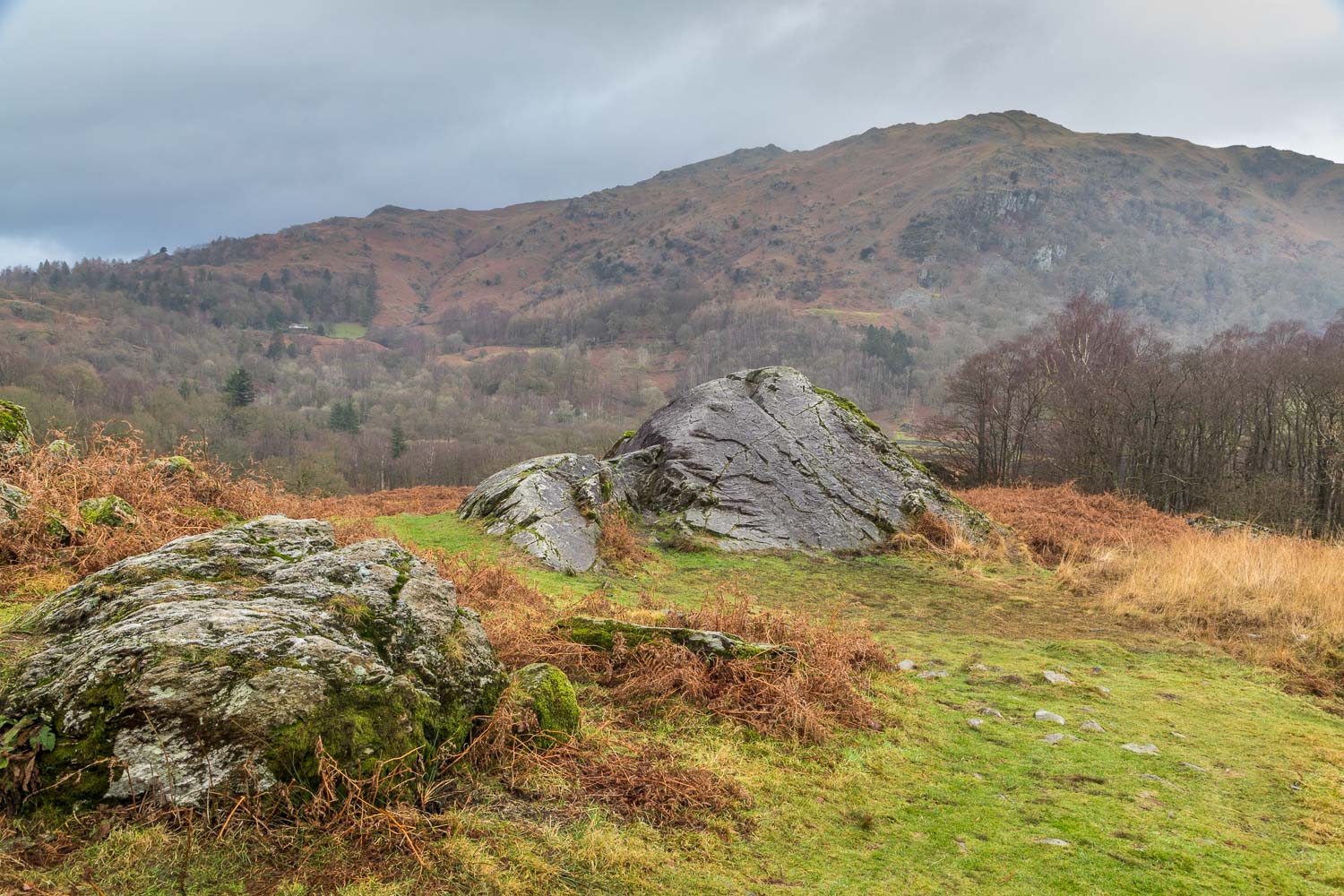
As we continued along the lakeshore the crowds increased in number, to the extent that we decided to abandon our planned circuit of the lake and return as quickly as we could via Loughrigg Terrace. This is normally one of the loveliest walks in lakeland but I confess we were glad to reach the end of it today. It was impossible to enjoy the beauty with noisy groups of 10 or more around every corner. I enjoy passing by the occasional fellow walker and exchanging greetings, but there were so many people marching by that this common civility was ignored by everyone, including ourselves – not that I blame them for being there, I blame myself for bad planning.
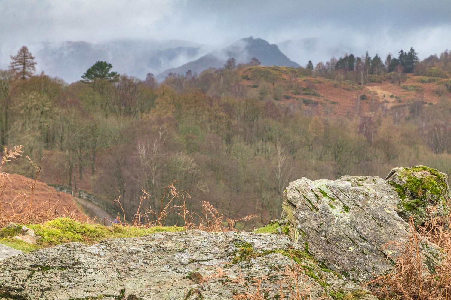
Don’t let my grumpy comments put you off following this short and simple walk, there is beauty and interest every step of the way, but I do recommend arriving early or off peak in order to enjoy the surroundings in relative peace and quiet
For other walks here, visit my Find Walks page and enter the name in the ‘Search site’ box
Click on the icon below for the route map (subscribers to OS Maps can view detailed maps of the route, visualise it in aerial 3D, and download the GPX file. Non-subscribers will see a base map)
Scroll down – or click on any photo to enlarge it and you can then view as a slideshow
