Route: Robin Hood’s Bay Round
Area: North York Moors
Date of walk: 27th February 2014
Walkers: Andrew and Gilly
Distance: 7.5 miles
Ascent: 1,000 feet
The weather didn’t look very promising when we opened the cottage curtains this morning and we set off for Robin Hood’s Bay with low expectations. How wrong we were – it turned out to be a glorious day
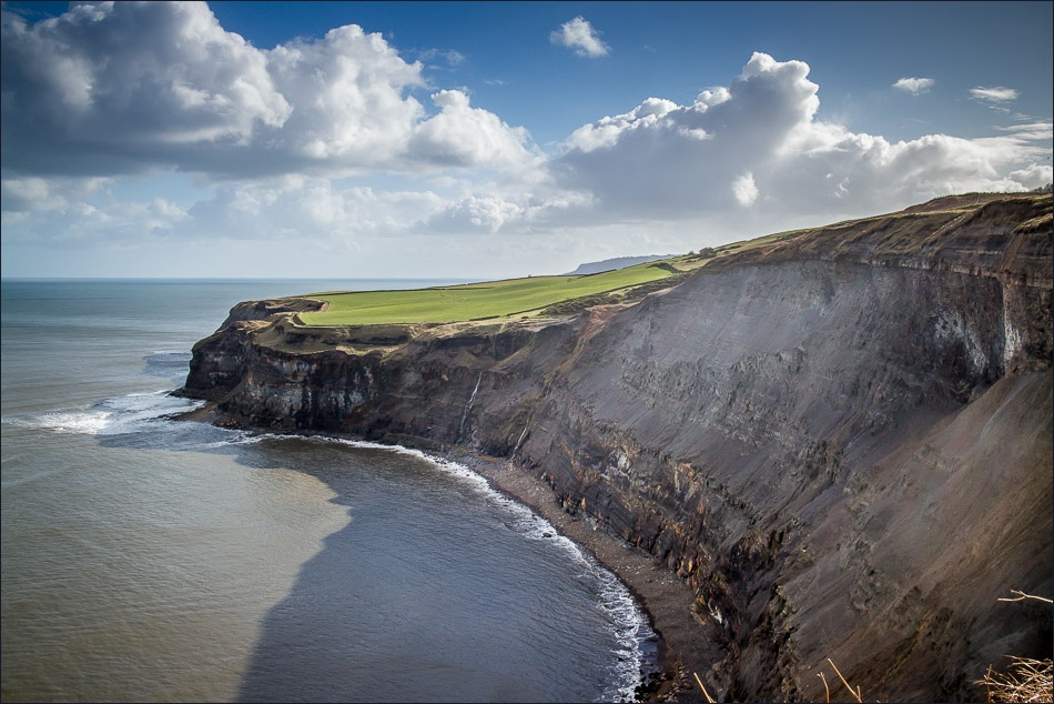
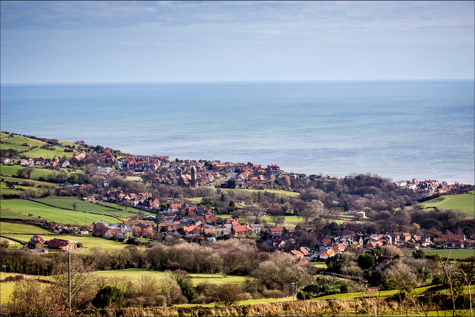
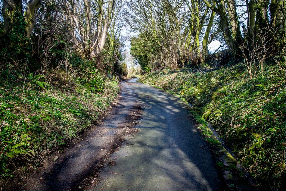
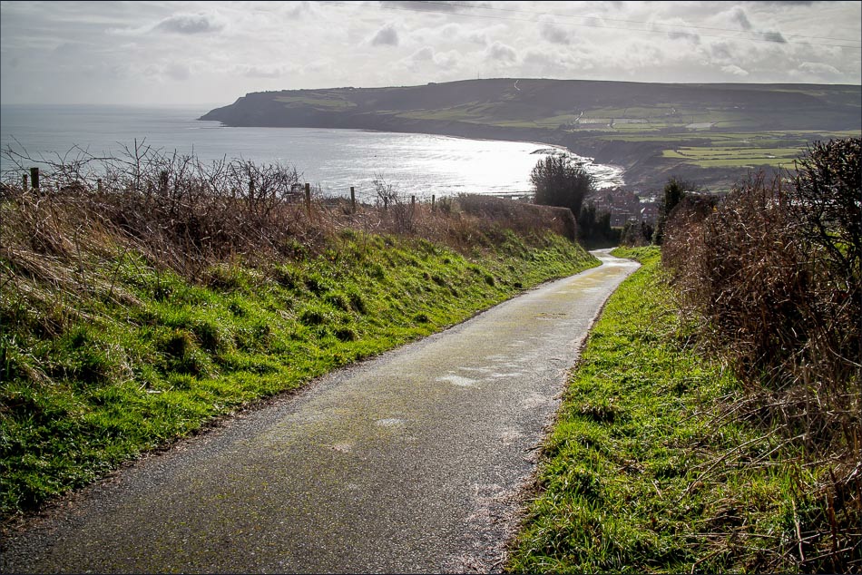
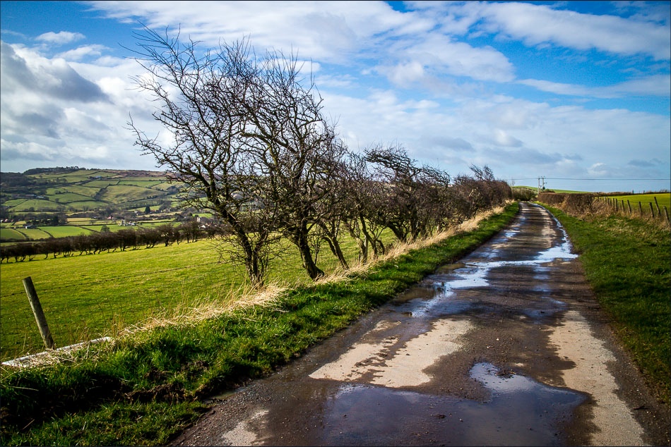
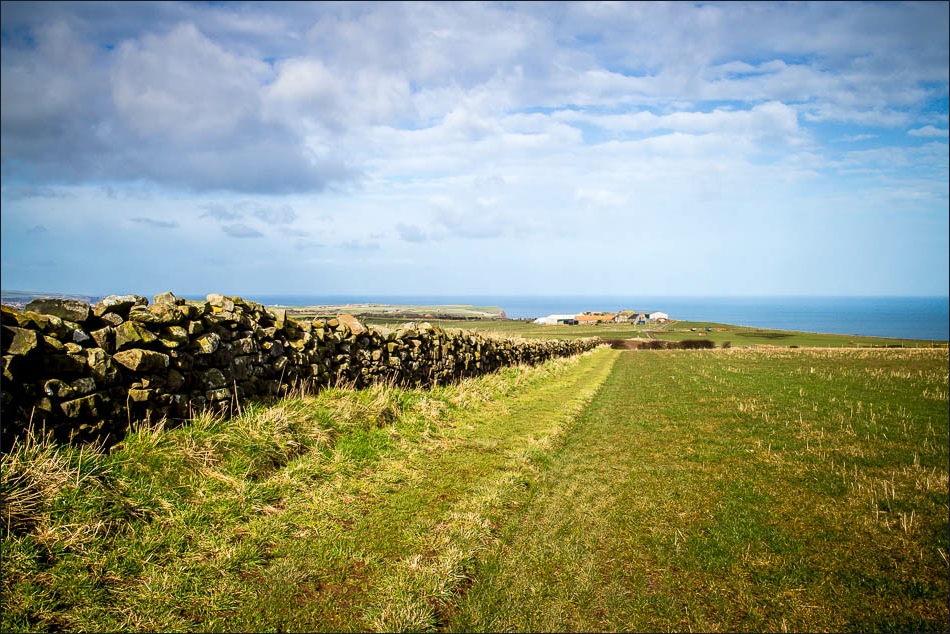
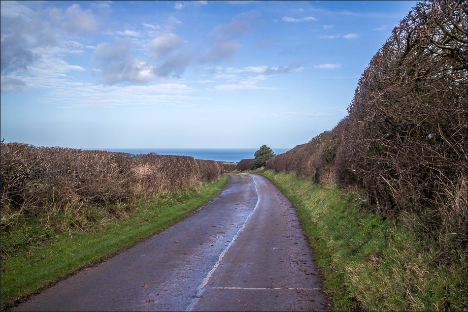
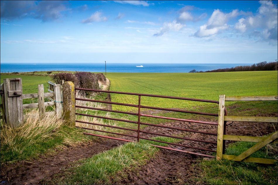
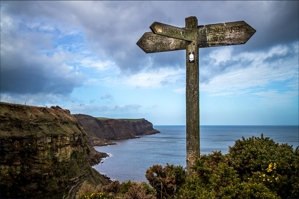
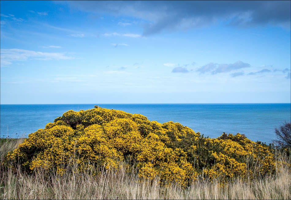
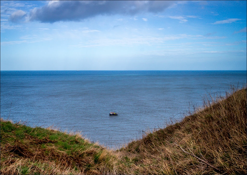
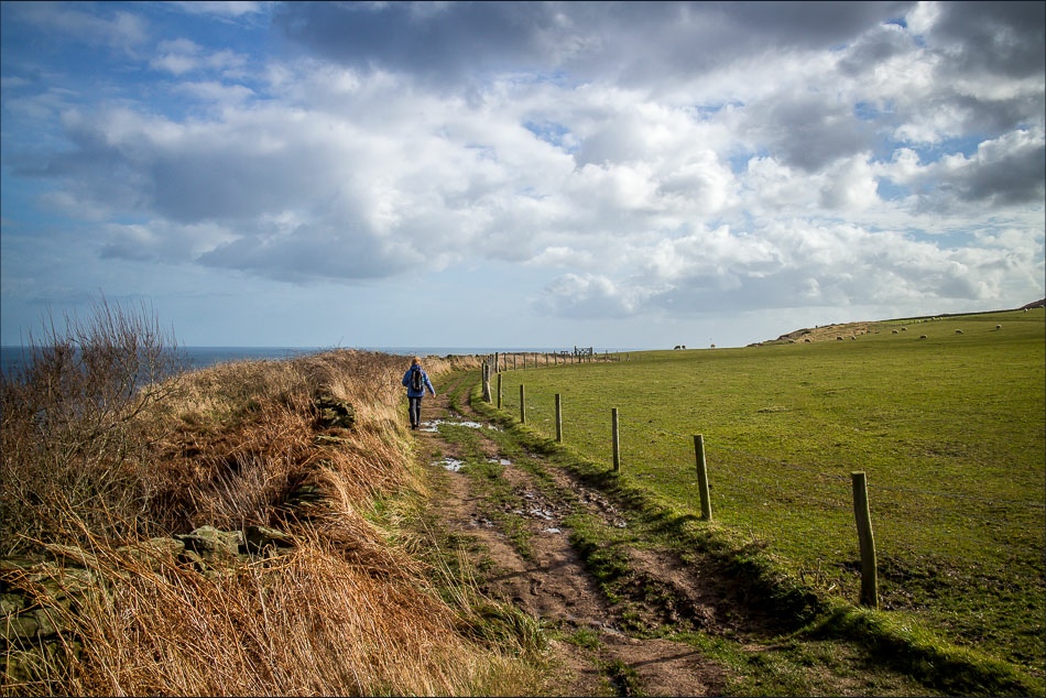
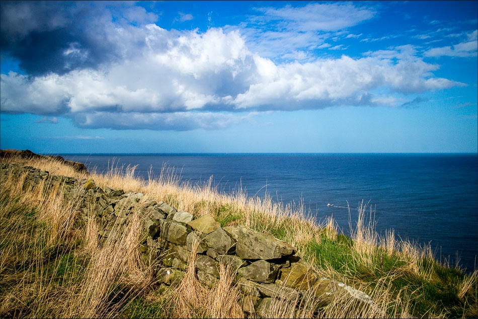
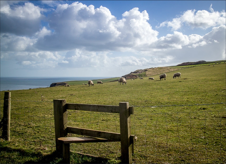
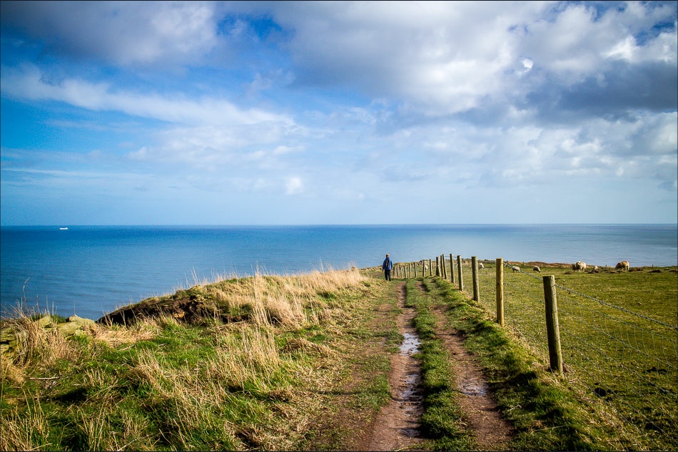
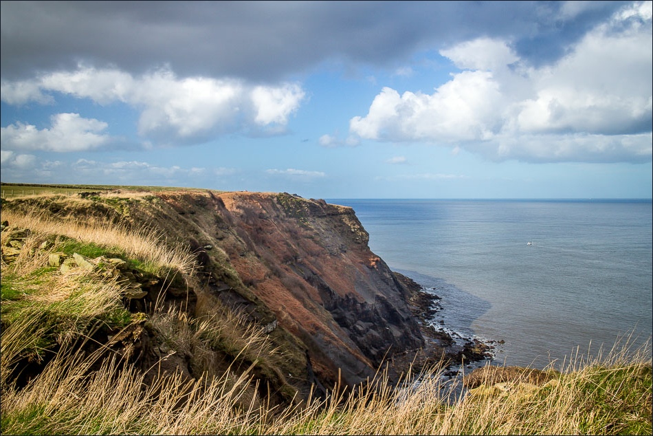
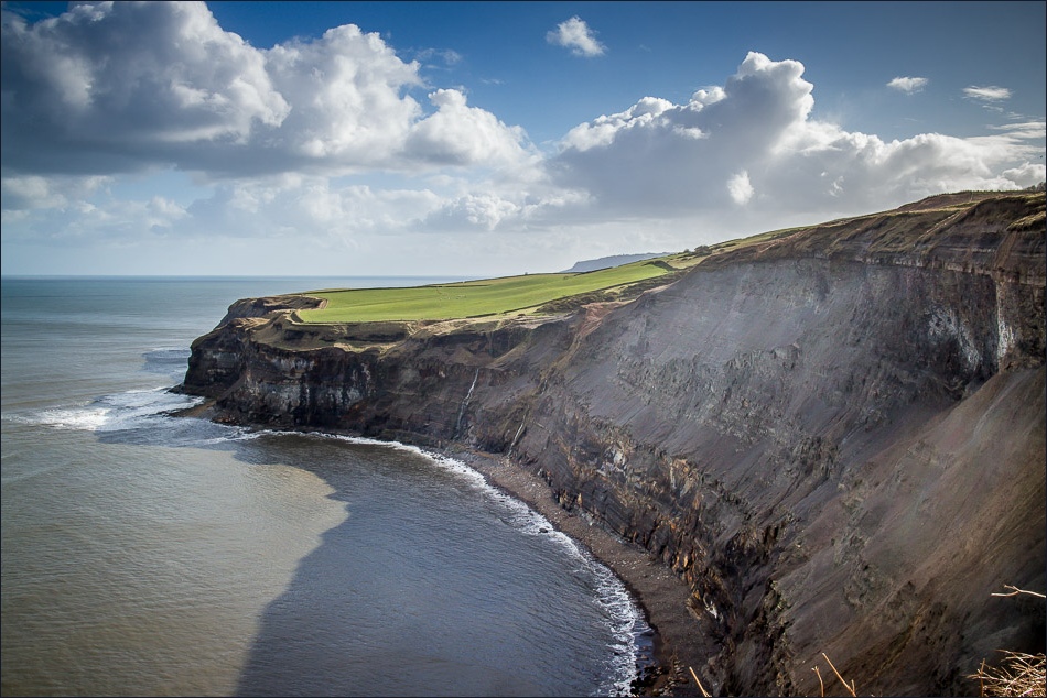
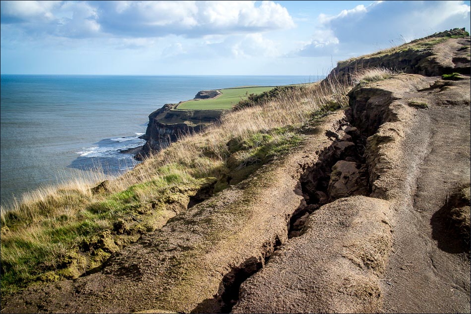
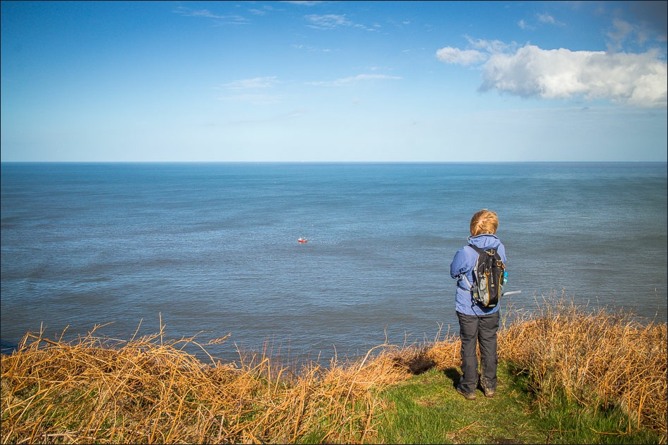
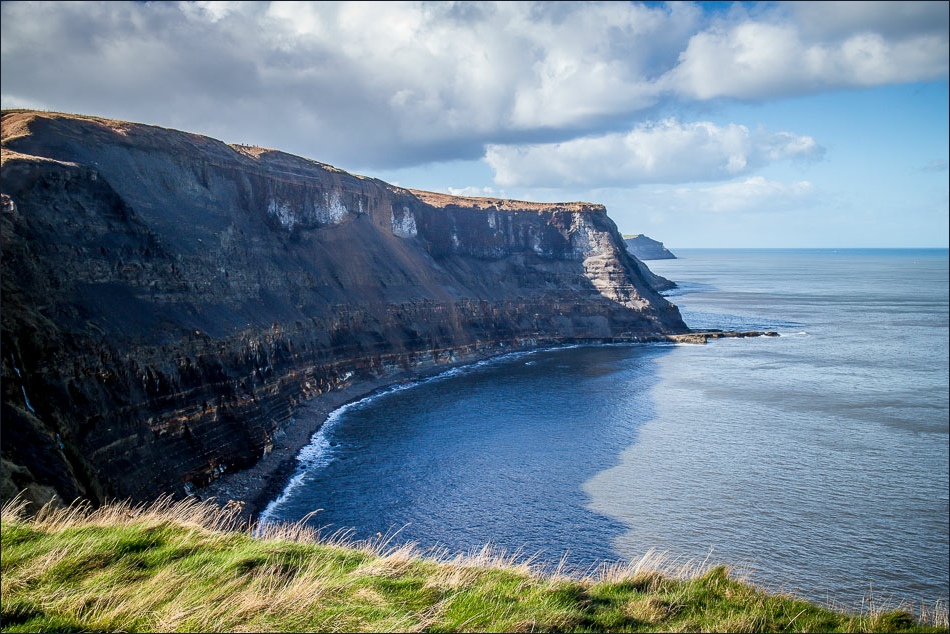
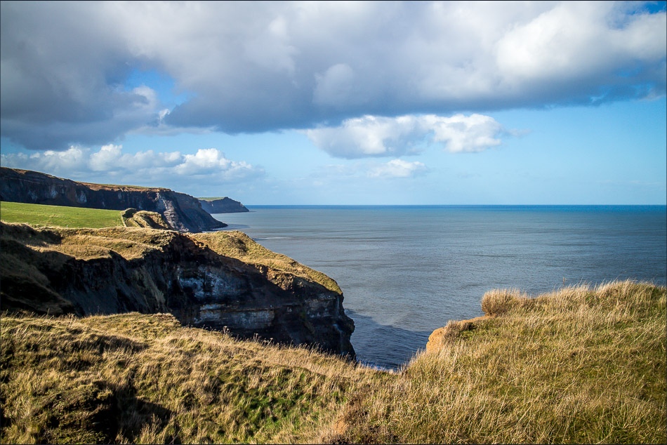
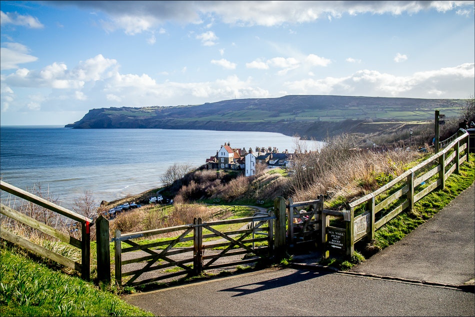
We parked in the top car park at Robin Hood’s Bay (free in winter months) and set off along a quiet track out of the village. The going was all uphill to begin with, but this had the advantage of giving us far reaching sea views as we walked across the fields. When we reached Northcliffe Holiday Park we joined the Cleveland Way to return to Robin Hood’s Bay along the cliff tops. We were glad we’d walked clockwise as we saved the best for last and the views from the clifftop path were breathtaking
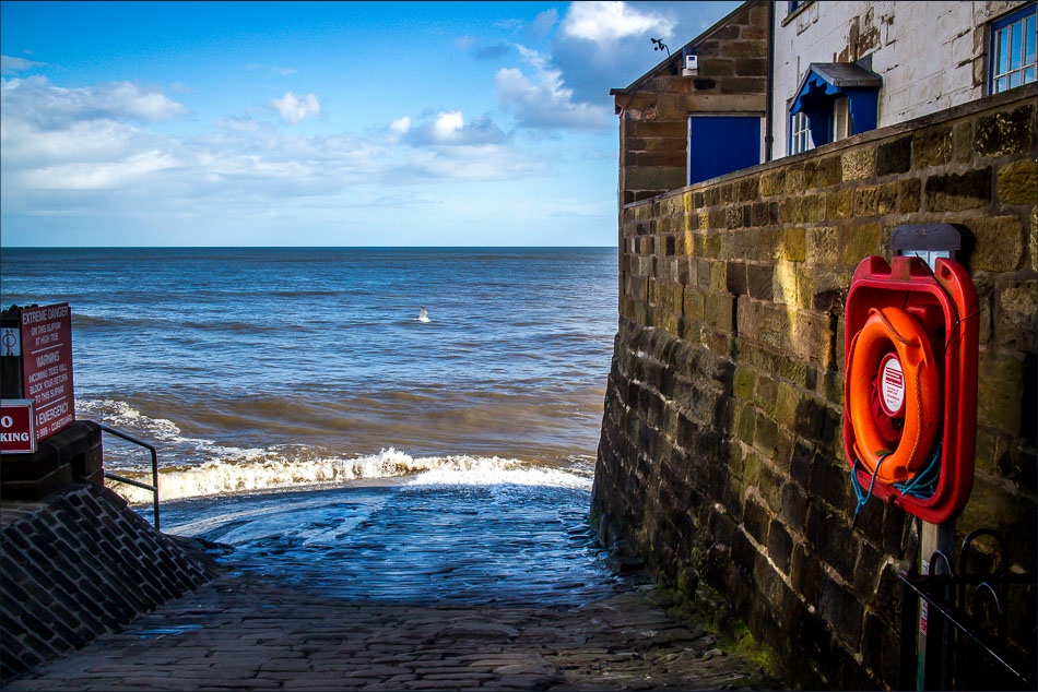
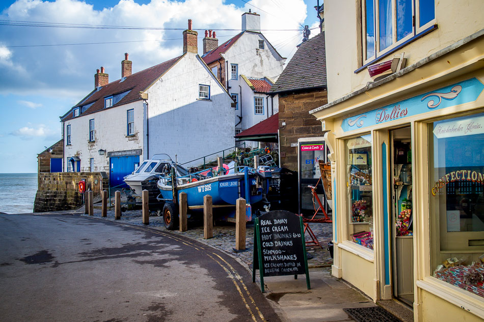
As we wandered round the village at the end of the walk we reflected on what a fantastic walk this had been
For other walks here, visit my Find Walks page and enter the name in the ‘Search site’ box
Click on the icon below for the route map (subscribers to OS Maps can view detailed maps of the route, visualise it in aerial 3D, and download the GPX file. Non-subscribers will see a base map)
Scroll down – or click on any photo to enlarge it and you can then view as a slideshow
