Route: Ravenscar to Robin Hood’s Bay
Area: North Yorkshire
Date of walk: 25th February 2015
Walkers: Andrew and Gilly
Distance: 9.8 miles
Weather: Sun and blue skies first half, clouded over on return leg
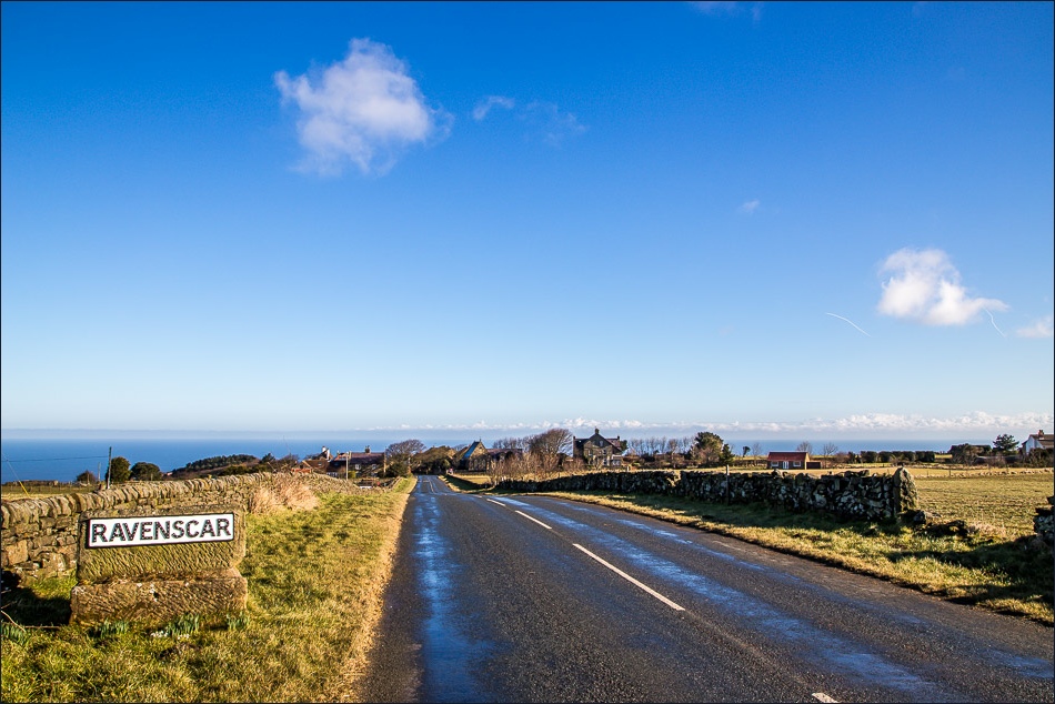
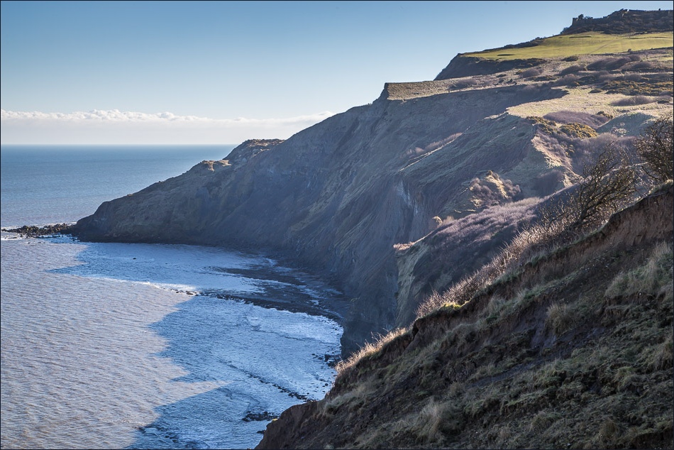
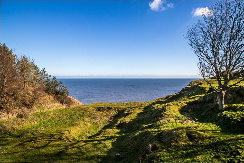
This is a wonderful cliff top walk which we’d done nearly 2 years ago. On that occasion the weather was dull and uninspiring but today the weather gods were smiling down on us as we set off from Ravenscar, having parked on the road just before the Raven Hall Hotel
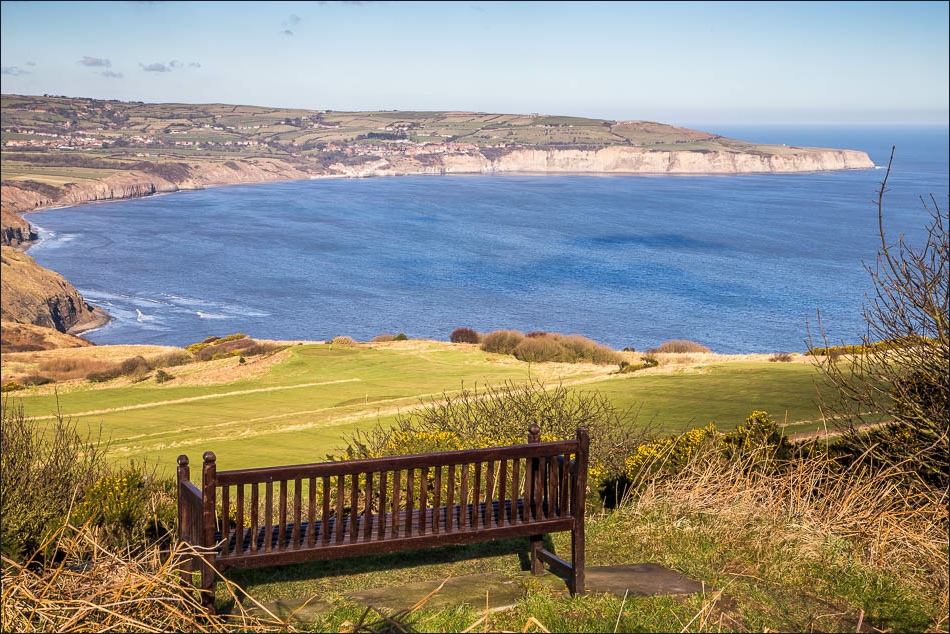
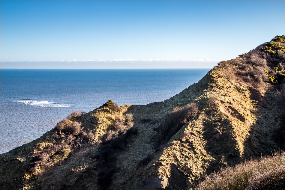
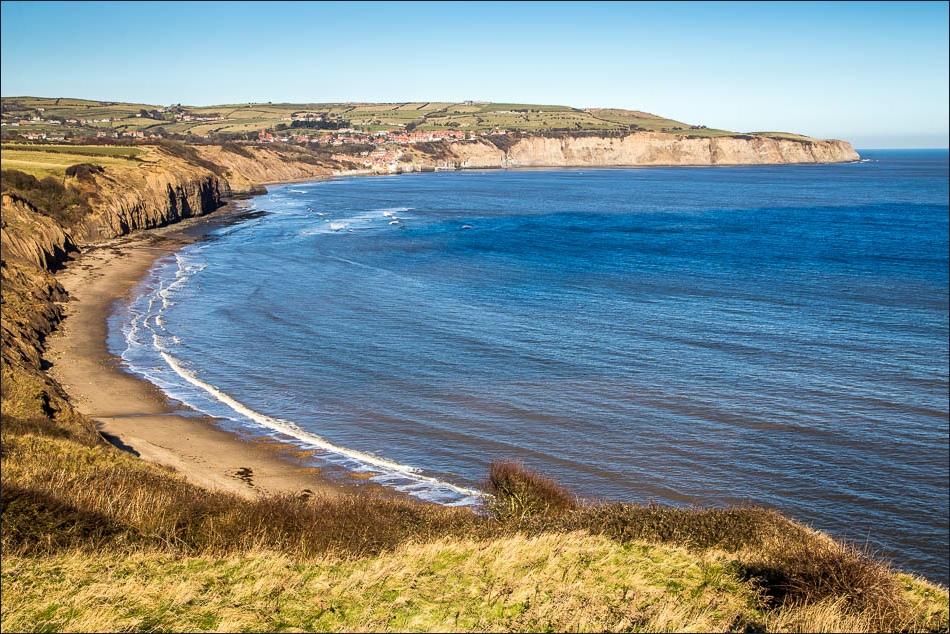
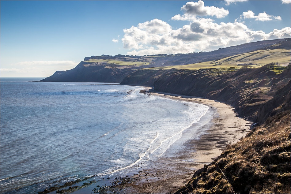
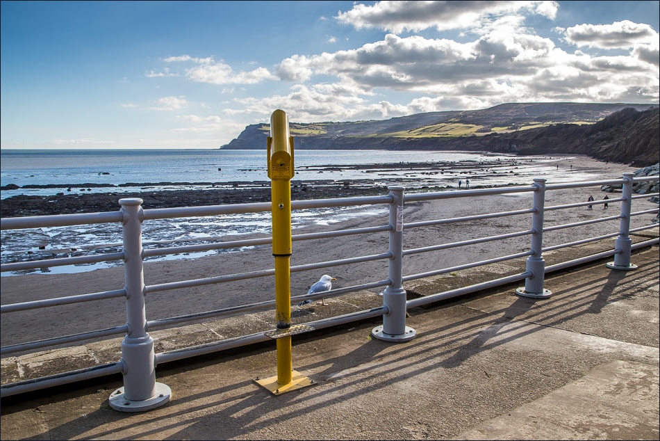
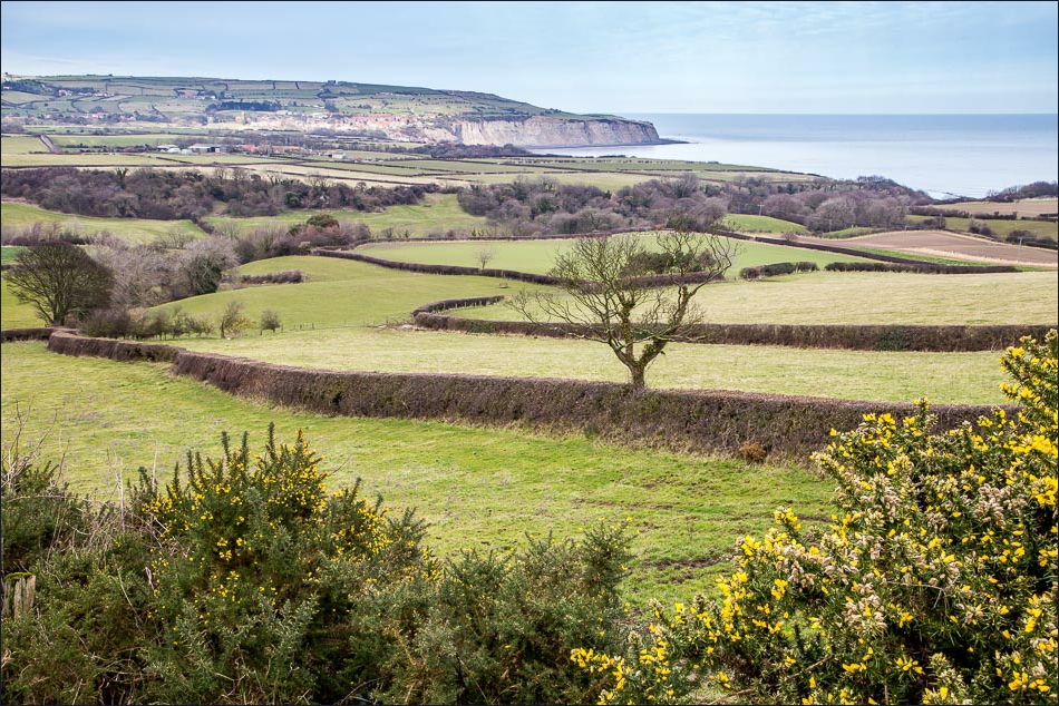
It was a very clear day and we could easily see our destination of Robin Hood’s Bay, 4 miles away along the coast
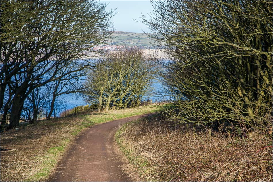
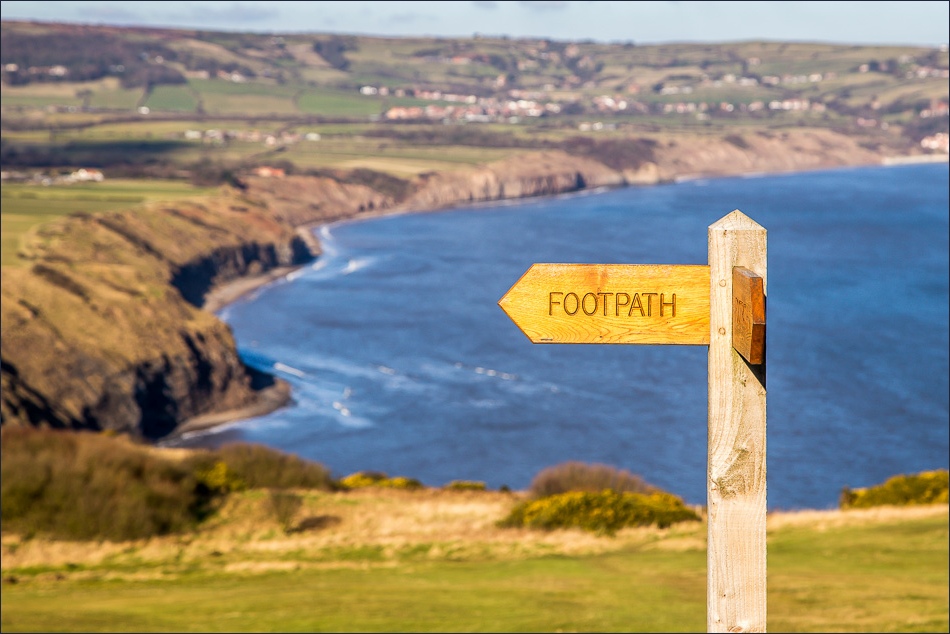
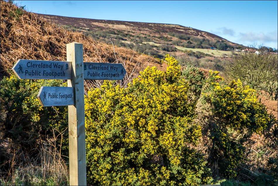
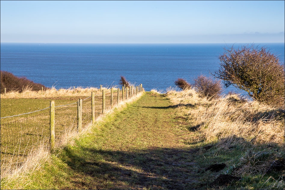
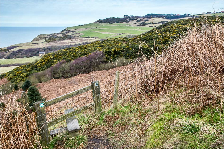
Full of anticipation we set off along an easy track, soon joining the well waymarked Cleveland Way. Getting lost on this route would be well nigh impossible
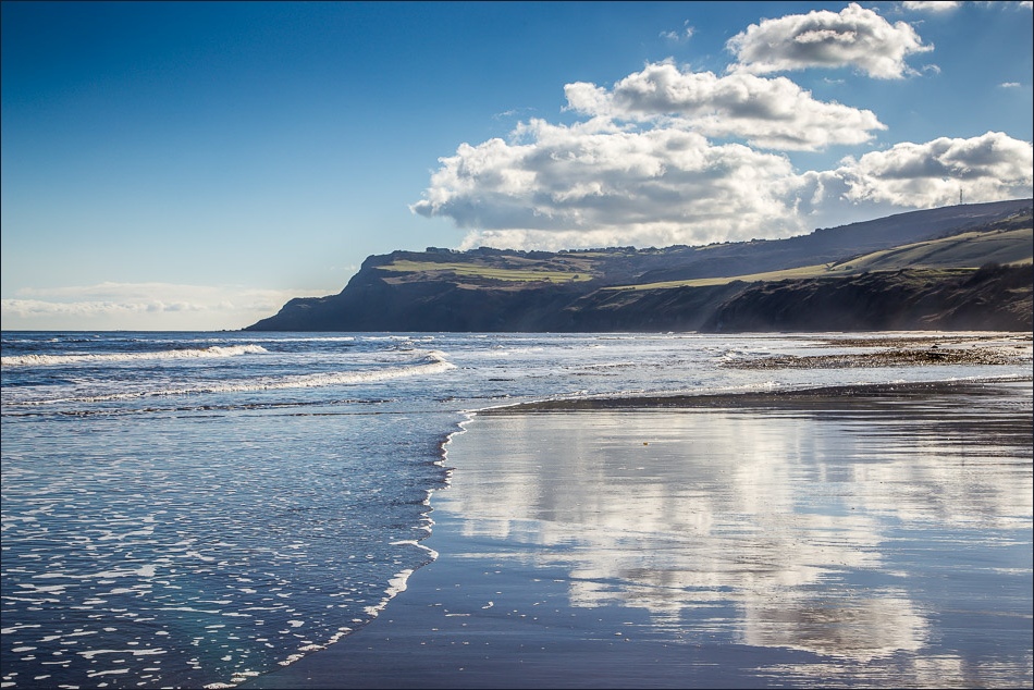
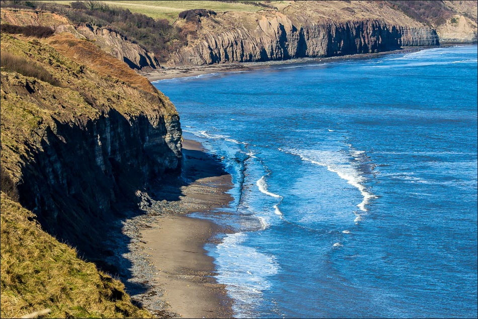
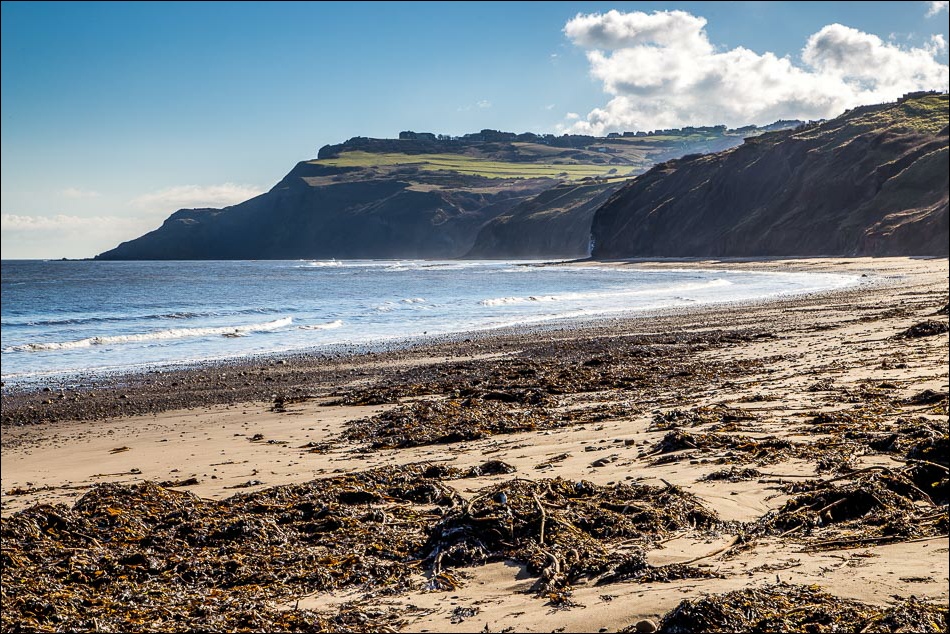
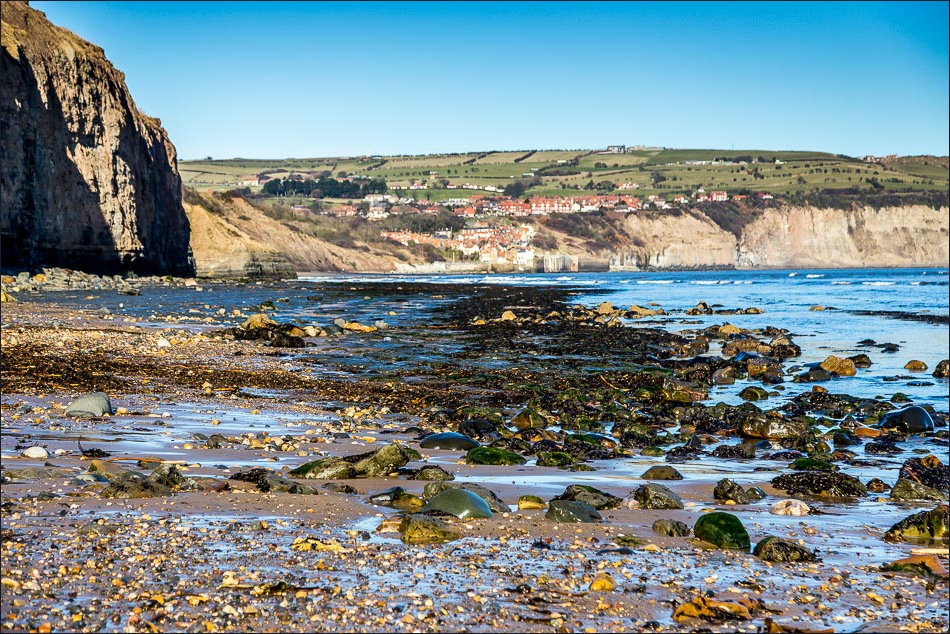
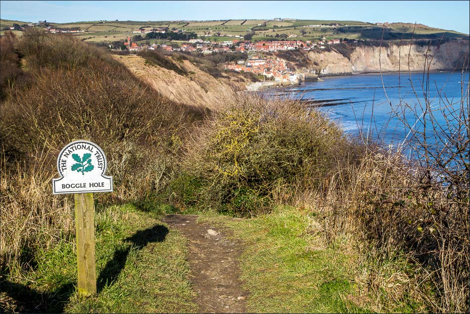
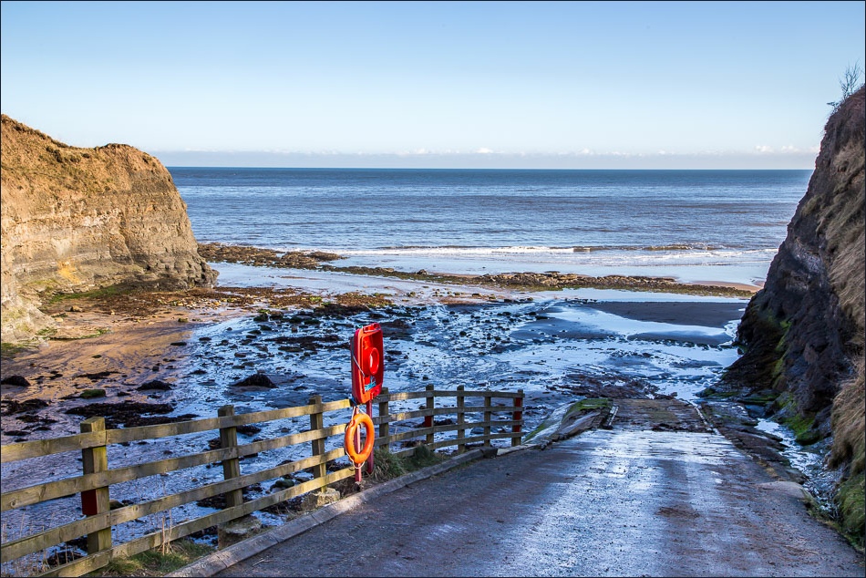
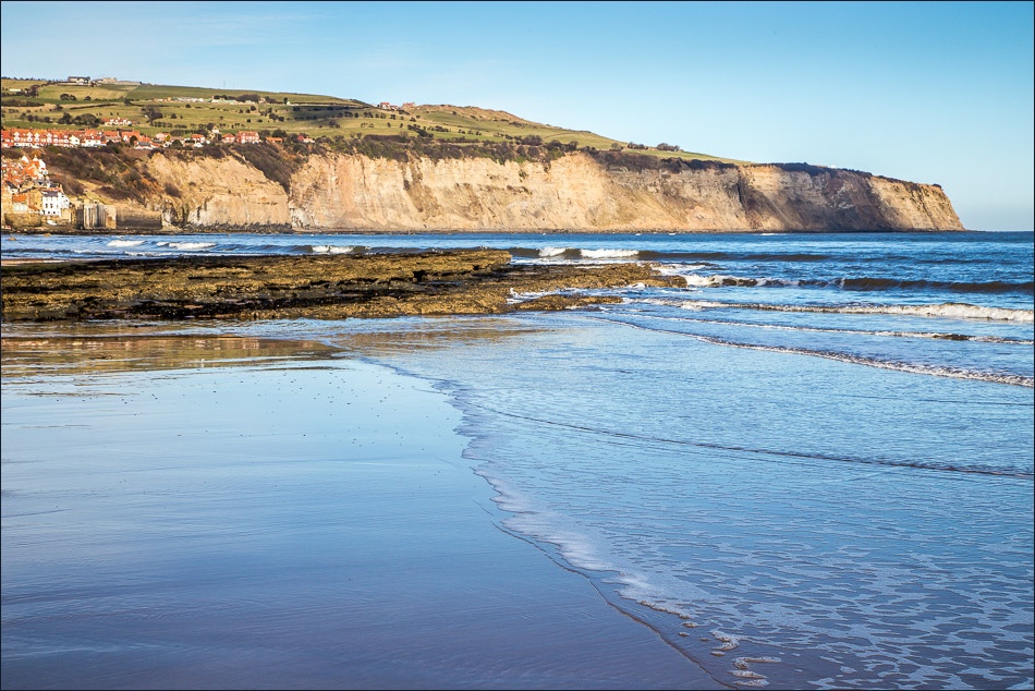
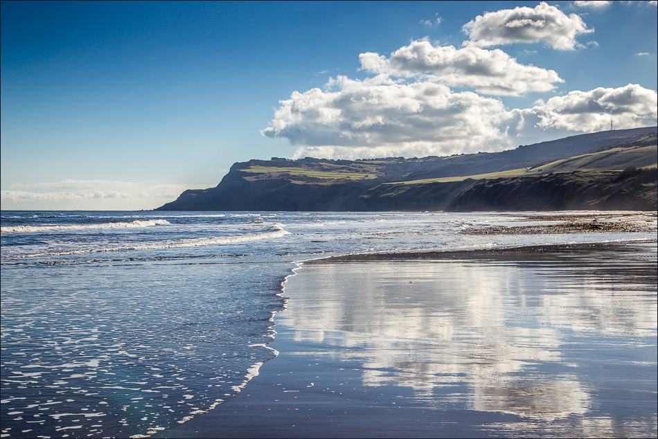
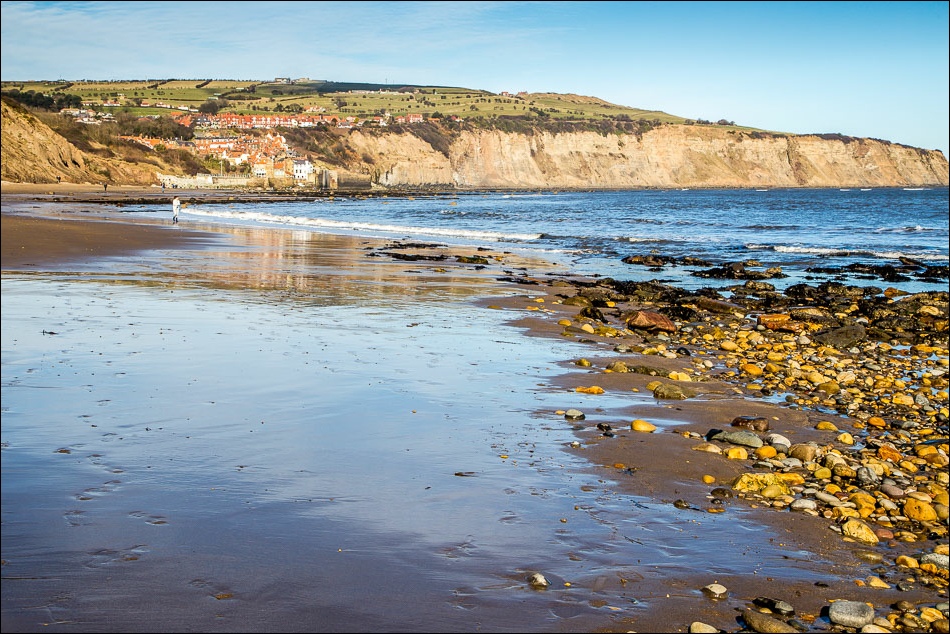
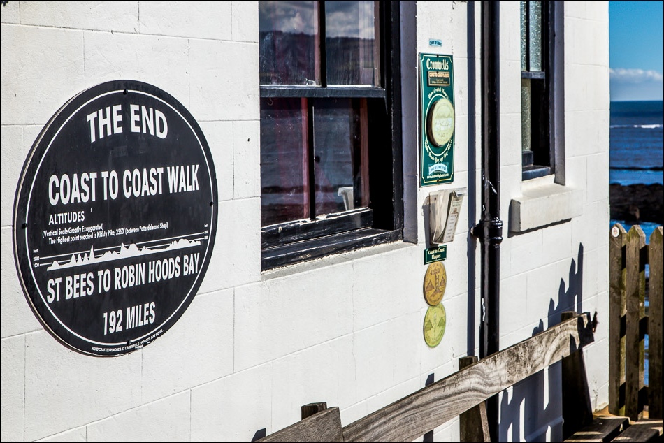
At Boggle Hole we descended to the beach and since the tide was on the way out, we were able to walk along the beach to Robin Hood’s Bay (NOTE: be sure to check tide times if you follow the beach route, people have been trapped on the rocks)
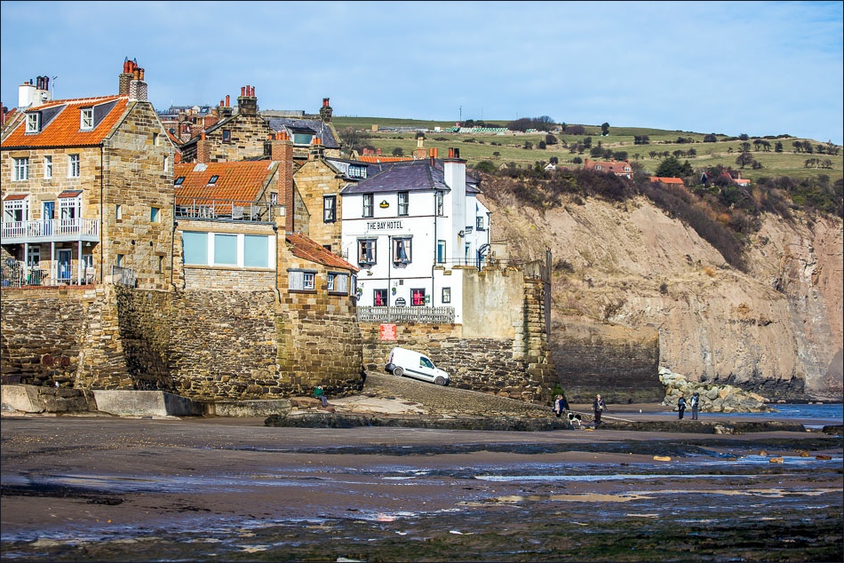
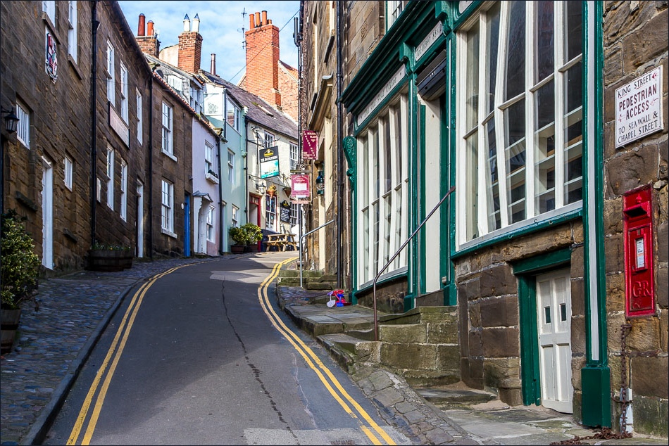
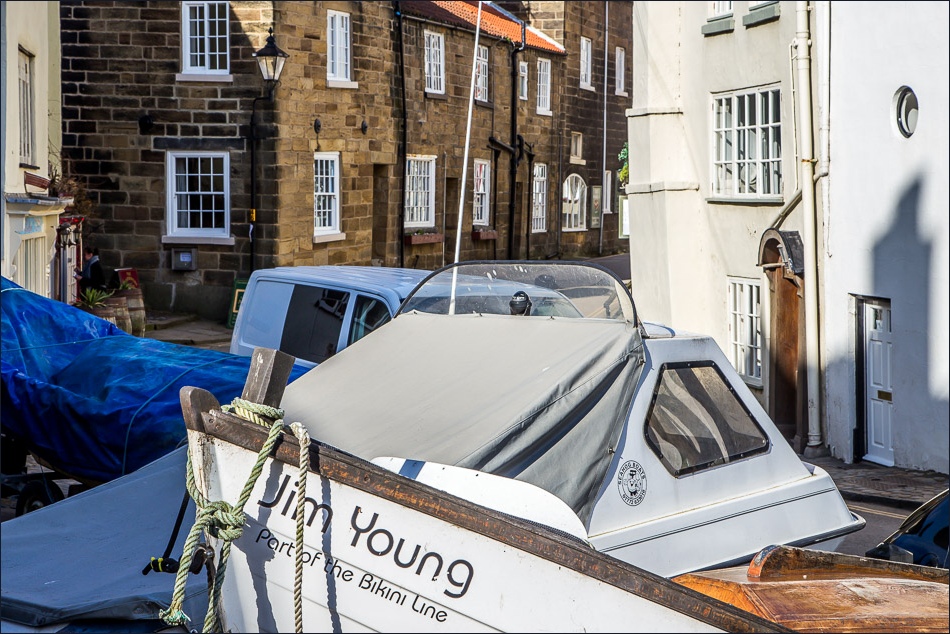
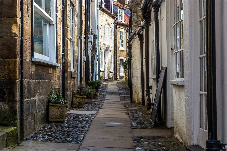
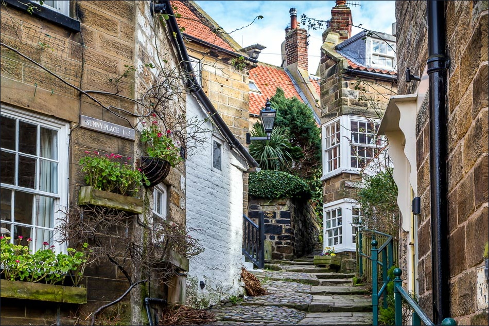
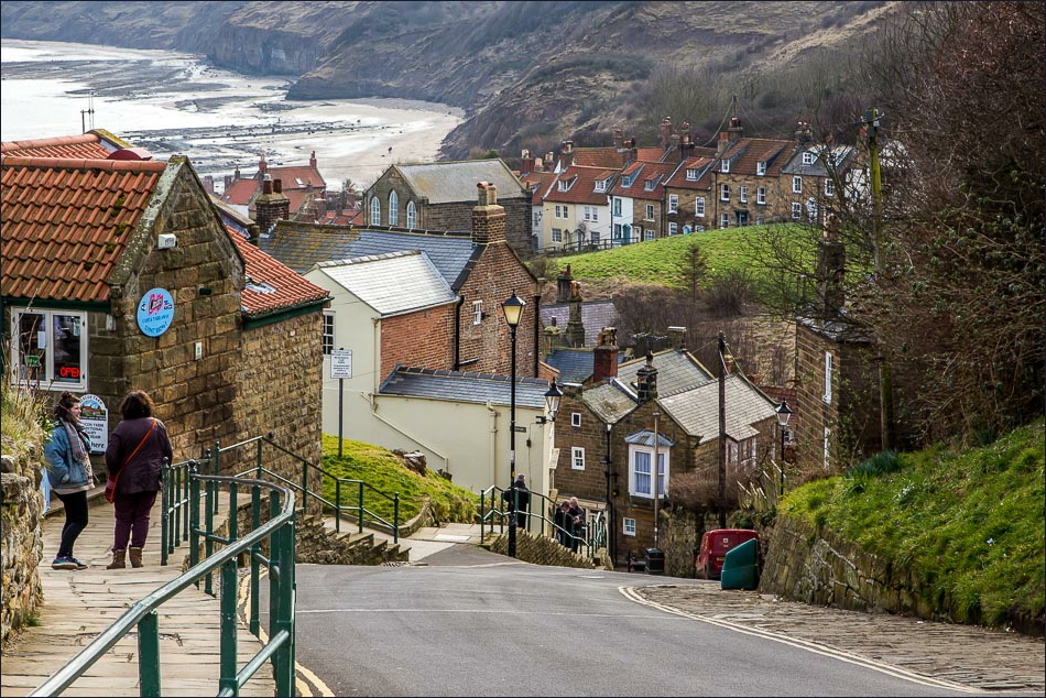
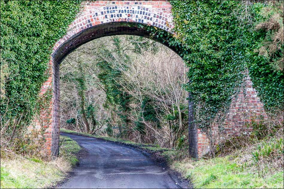
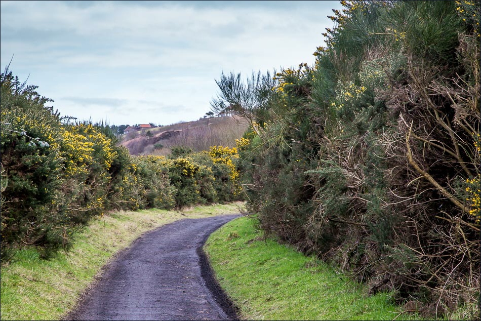
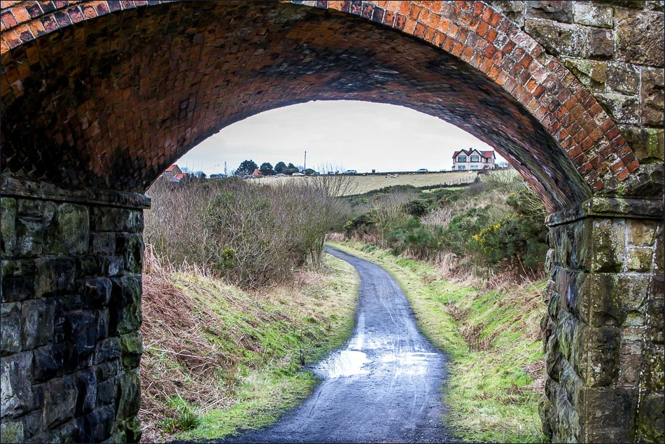
We had our picnic at Robin Hood’s Bay and having done so wandered around the fascinating little village for a while before setting off on the return leg along the ‘Cinder Track’, which follows the course of a disused railway line. Although it’s uphill all the way, this is hardly noticed thanks to the gentle gradient which the railway engineers had to plot
It clouded over on the way back, but no matter as the weather had been superlative on the outward leg, and we were very grateful for that – a fantastic walk
For other walks here, visit my Find Walks page and enter the name in the ‘Search site’ box
Click on the icon below for the route map (subscribers to OS Maps can view detailed maps of the route, visualise it in aerial 3D, and download the GPX file. Non-subscribers will see a base map)
Scroll down – or click on any photo to enlarge it and you can then view as a slideshow
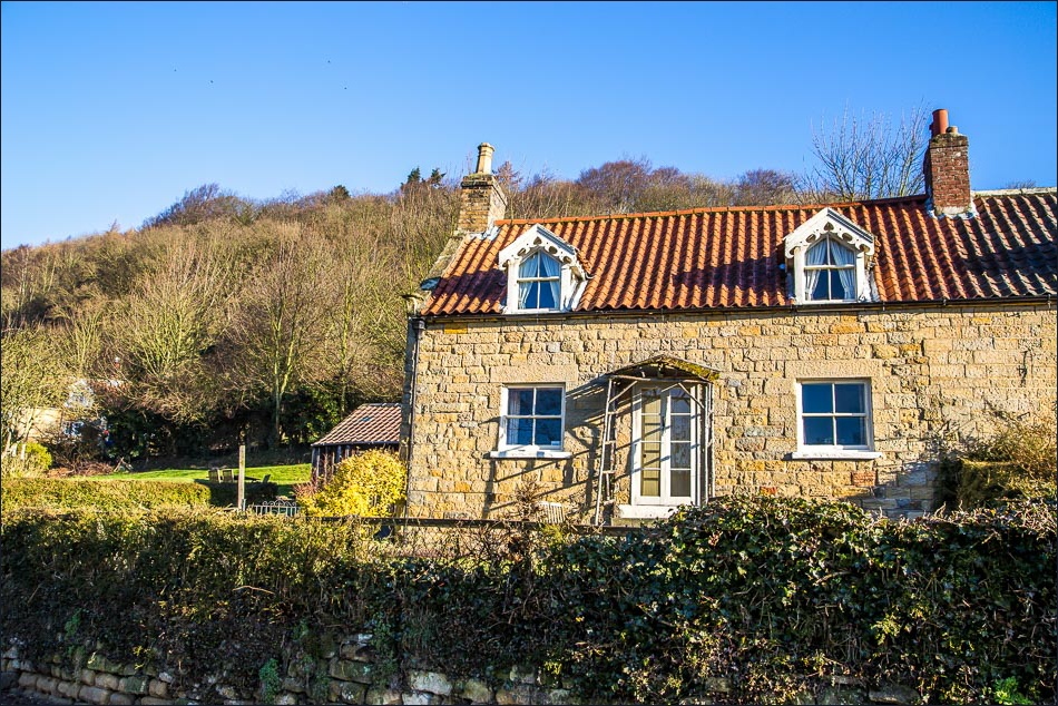
A glorious morning as we set off from Derwent View Hackness to drive to Ravenscar for the start of today’s walk
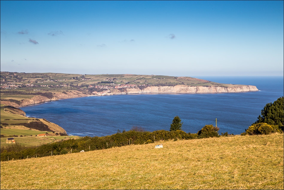
Not a bad place to park the car - the walk is spread out before us, with Robin Hood’s Bay in the distance
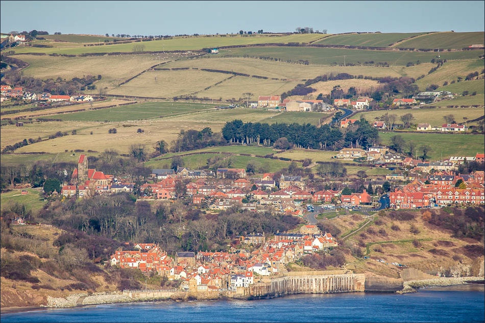
The view of Robin Hood’s Bay through my telephoto lens is deceptive - there’s 4 miles of walking to do before we arrive there
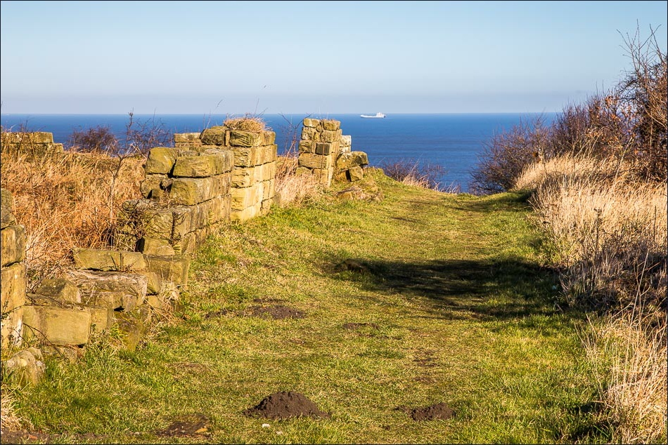
We visit the old Alum Works, a Scheduled Ancient Monument - we saw a deer here, but I wasn’t quick enough to grab a photo
