Route: Raven Crag
Area: Central Lake District
Date of walk: 22nd February 2013
Walkers: Andrew
Distance: 3.4 miles
Ascent: 1,300 feet
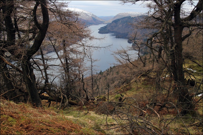
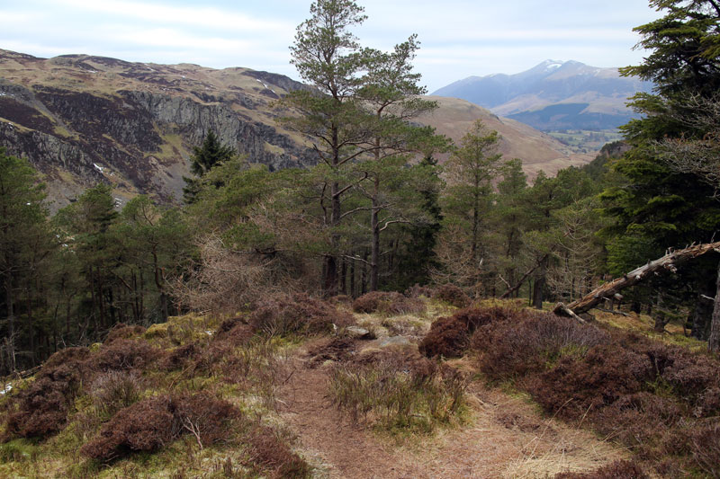
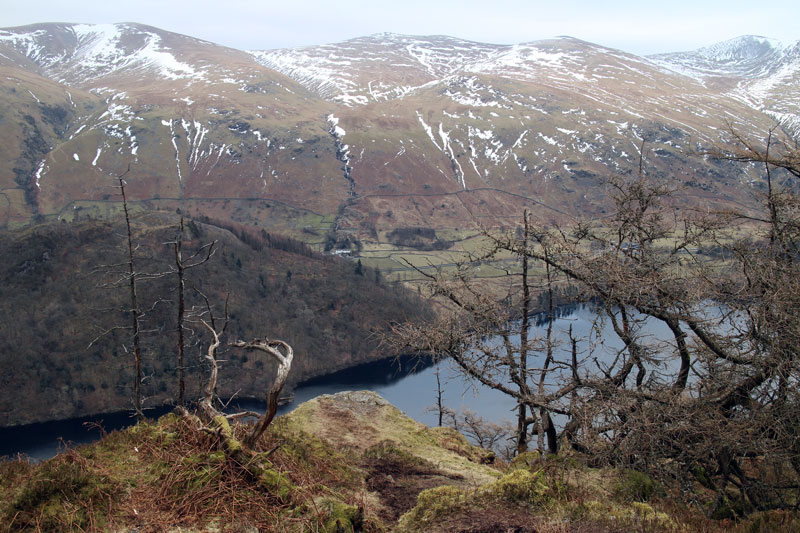
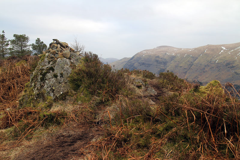
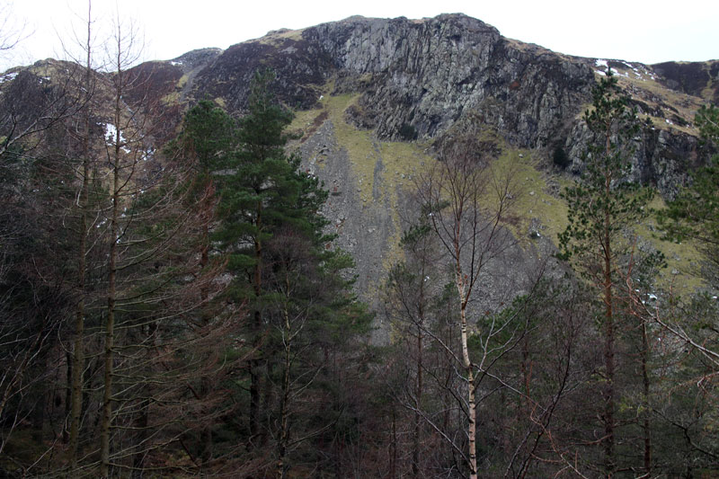
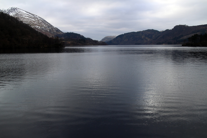
I parked at the head of Thirlmere in the free car park and walked up the steep path to the top – it took just over 30 minutes
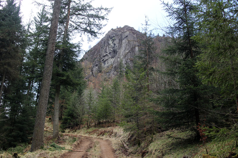
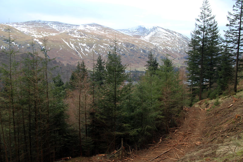
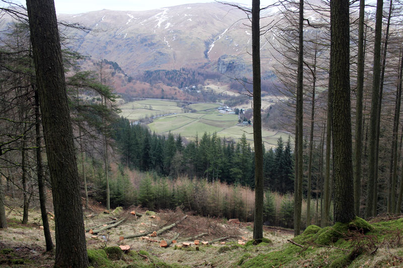
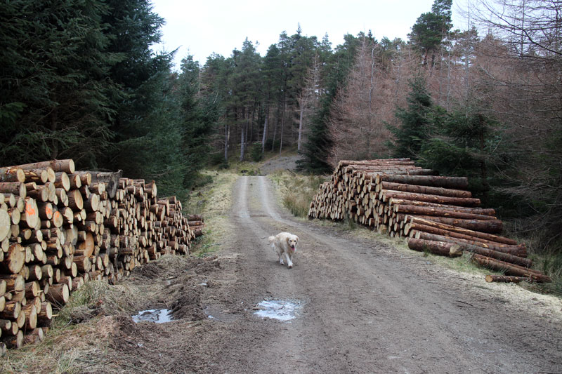
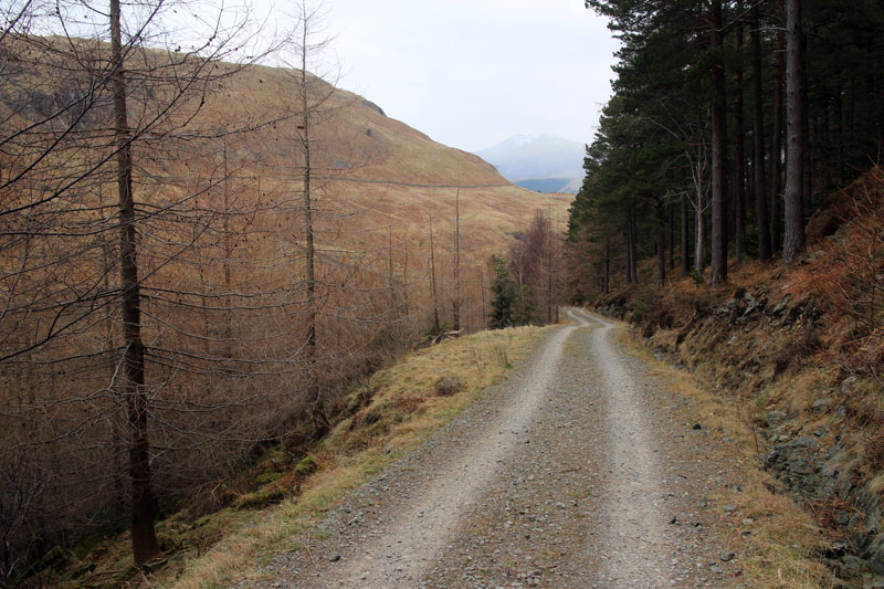
The descent via wide forest tracks was easy
The weather was rather overcast
Click on the icon below for the route map (subscribers to OS Maps can view detailed maps of the route, visualise it in aerial 3D, and download the GPX file. Non-subscribers will see a base map)
Scroll down – or click on any photo to enlarge it and you can then view as a slideshow
