Route: Posticciola
Area: Lazio region, Central Italy
Date of walk: 28th May 2023
Walkers: Andrew and Gilly
Distance: 1.0 mile
Ascent: 100 feet
Weather: Sunny and warm
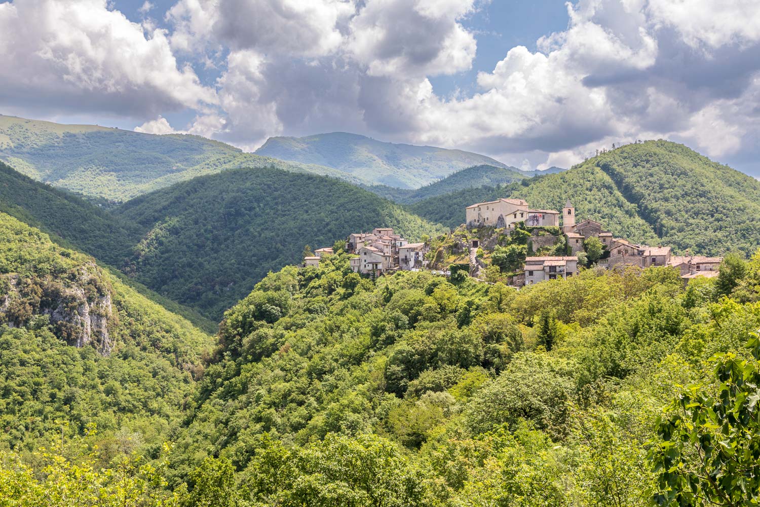
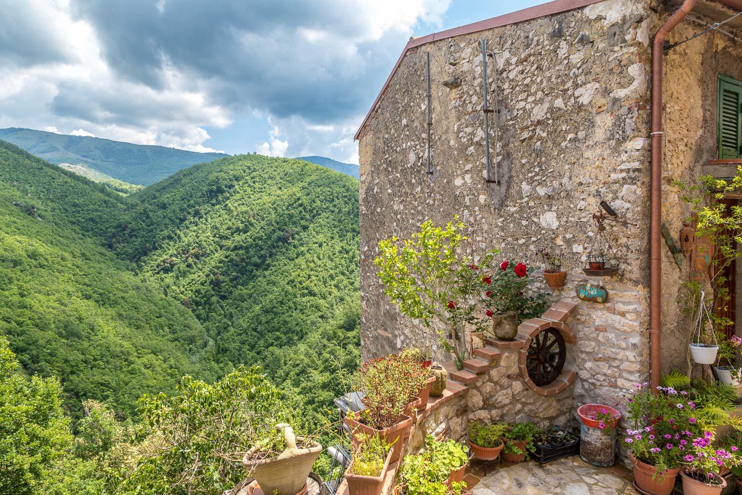
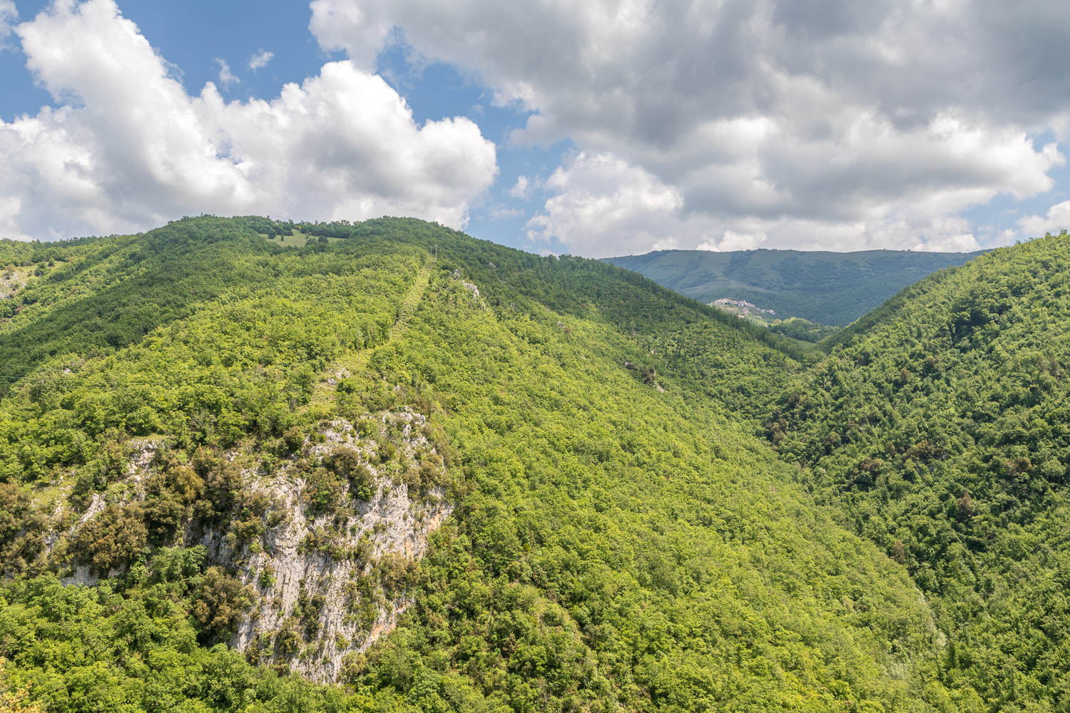
Earlier this morning son James had set off on a long walk from our rented villa in Oliveto. While we were planning a shorter walk he messaged to say that he’d arrived in the village of Posticciola, and that it was worth a visit. Without ado we drove over, stopping the car near the village to admire its spectacular location, perched on a hilltop with a background of tree covered hills
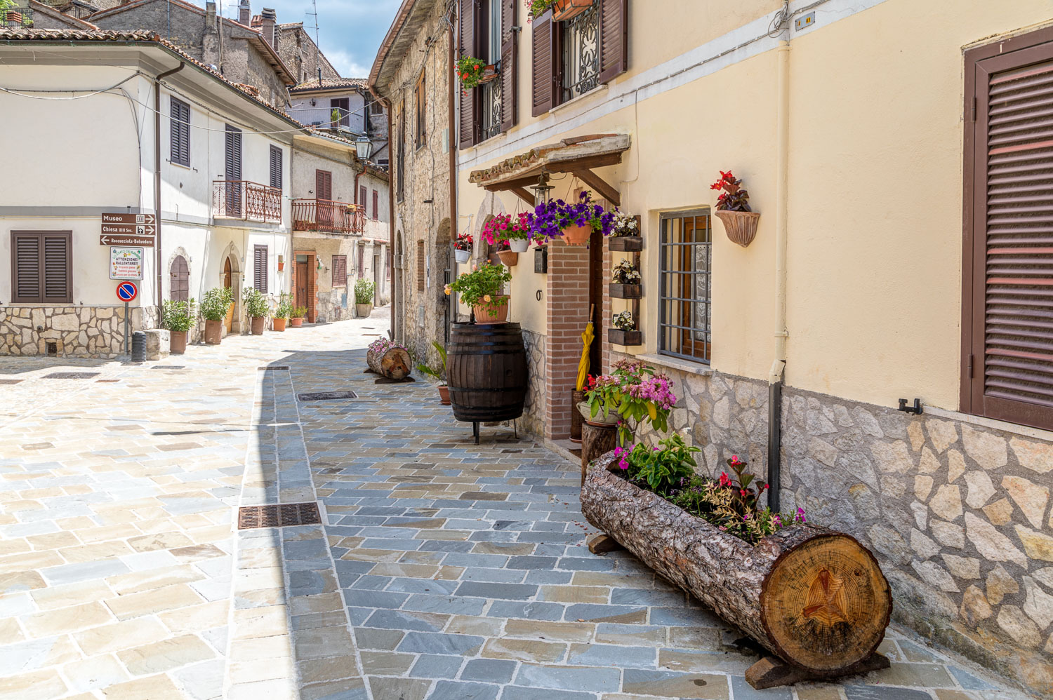
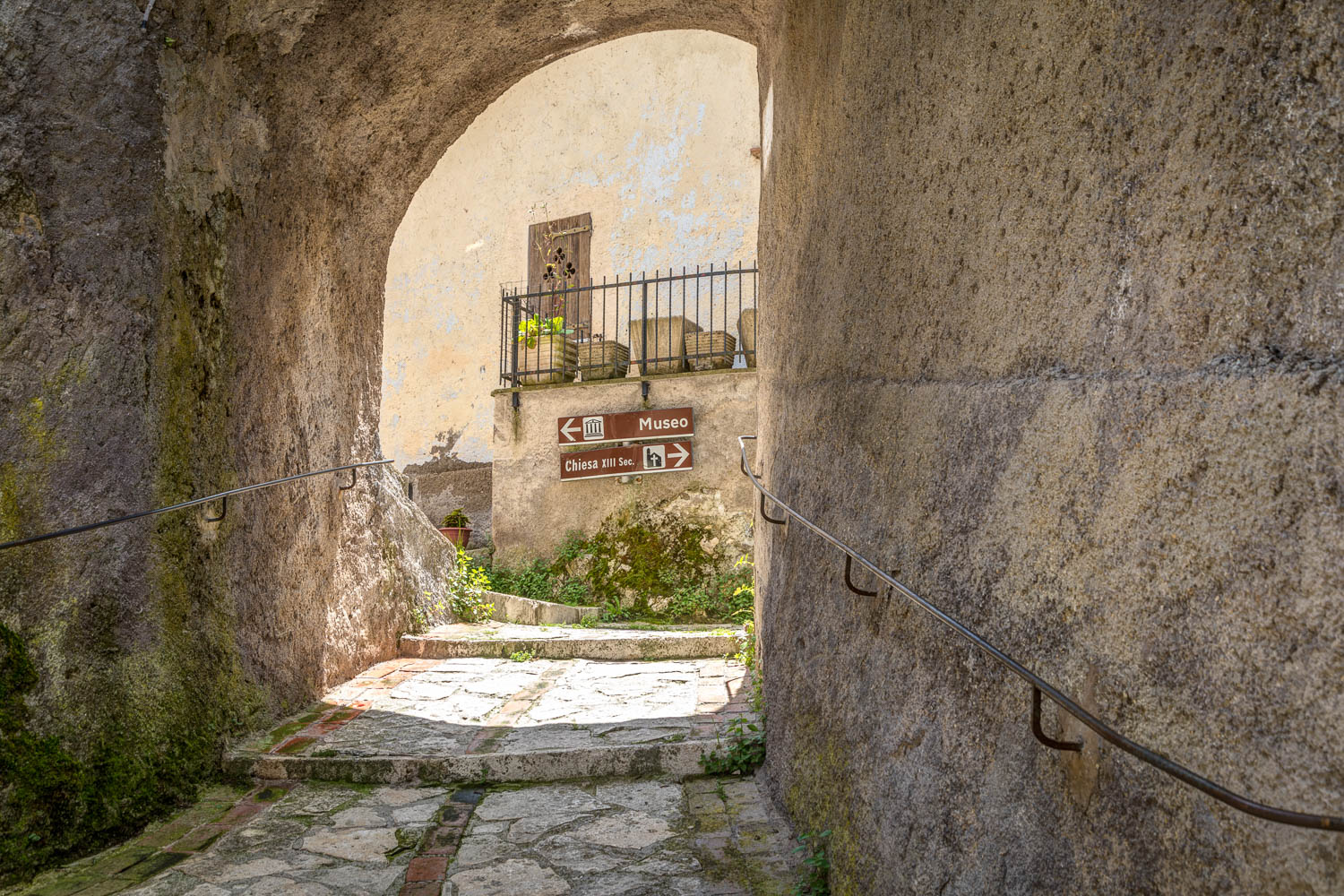
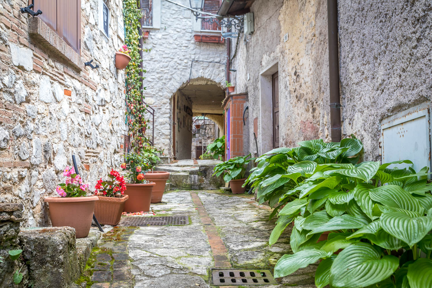
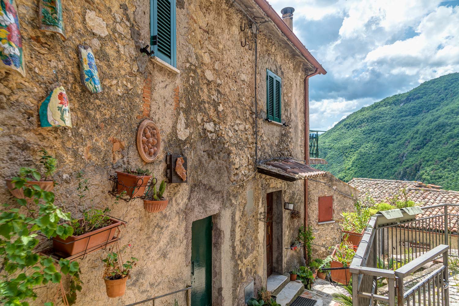
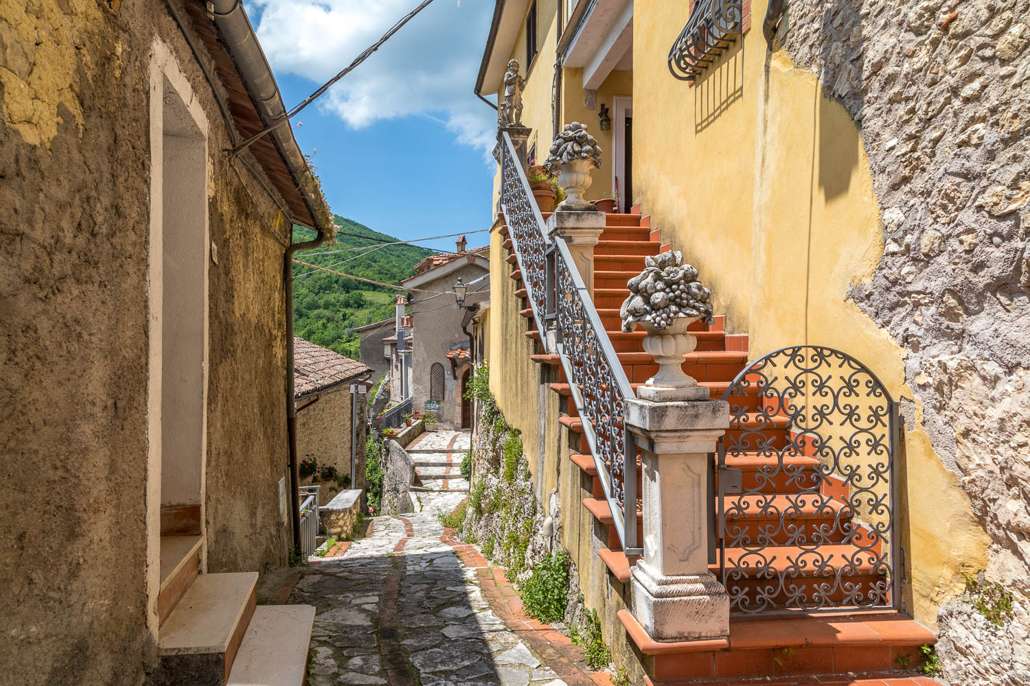
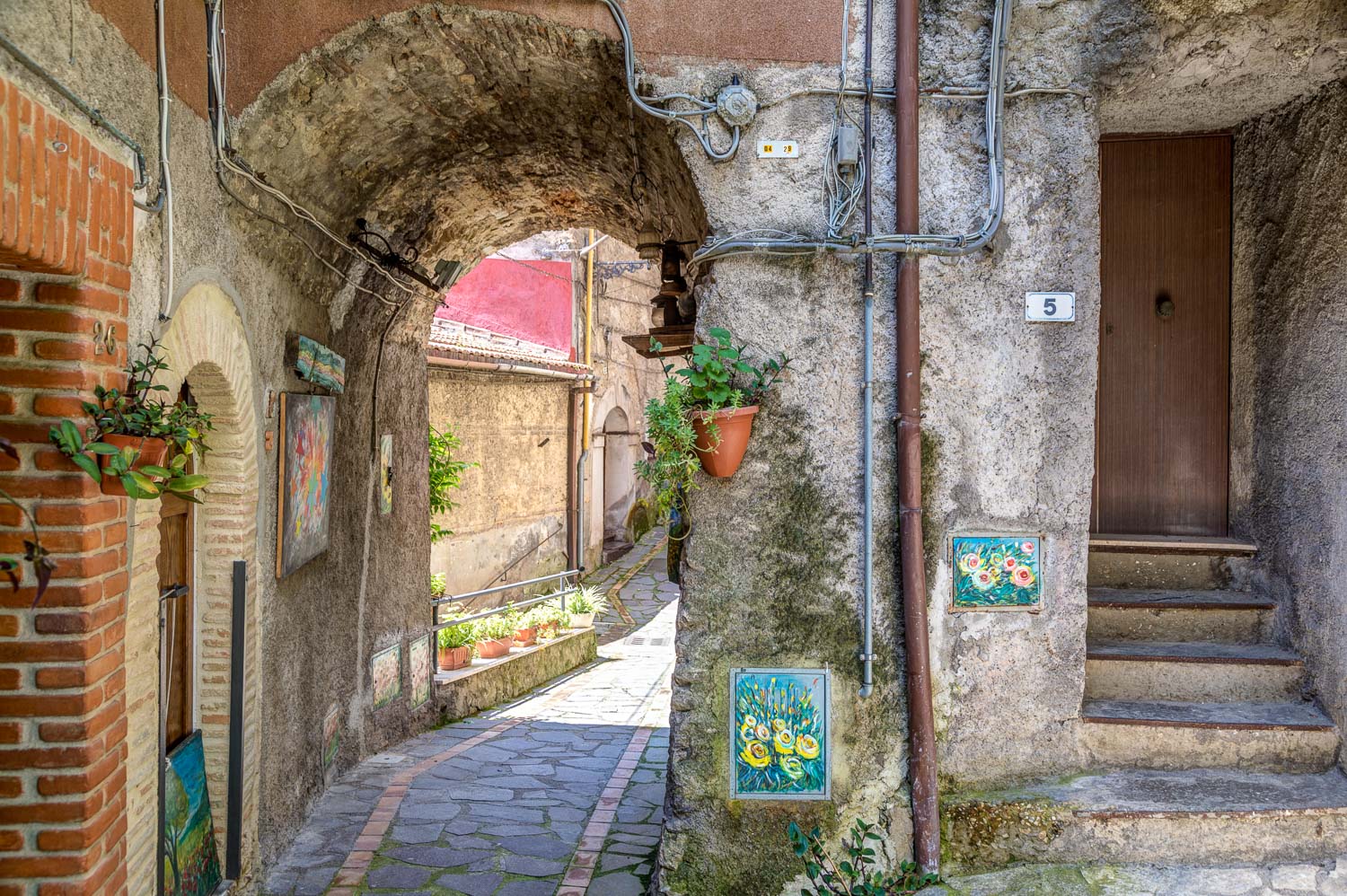
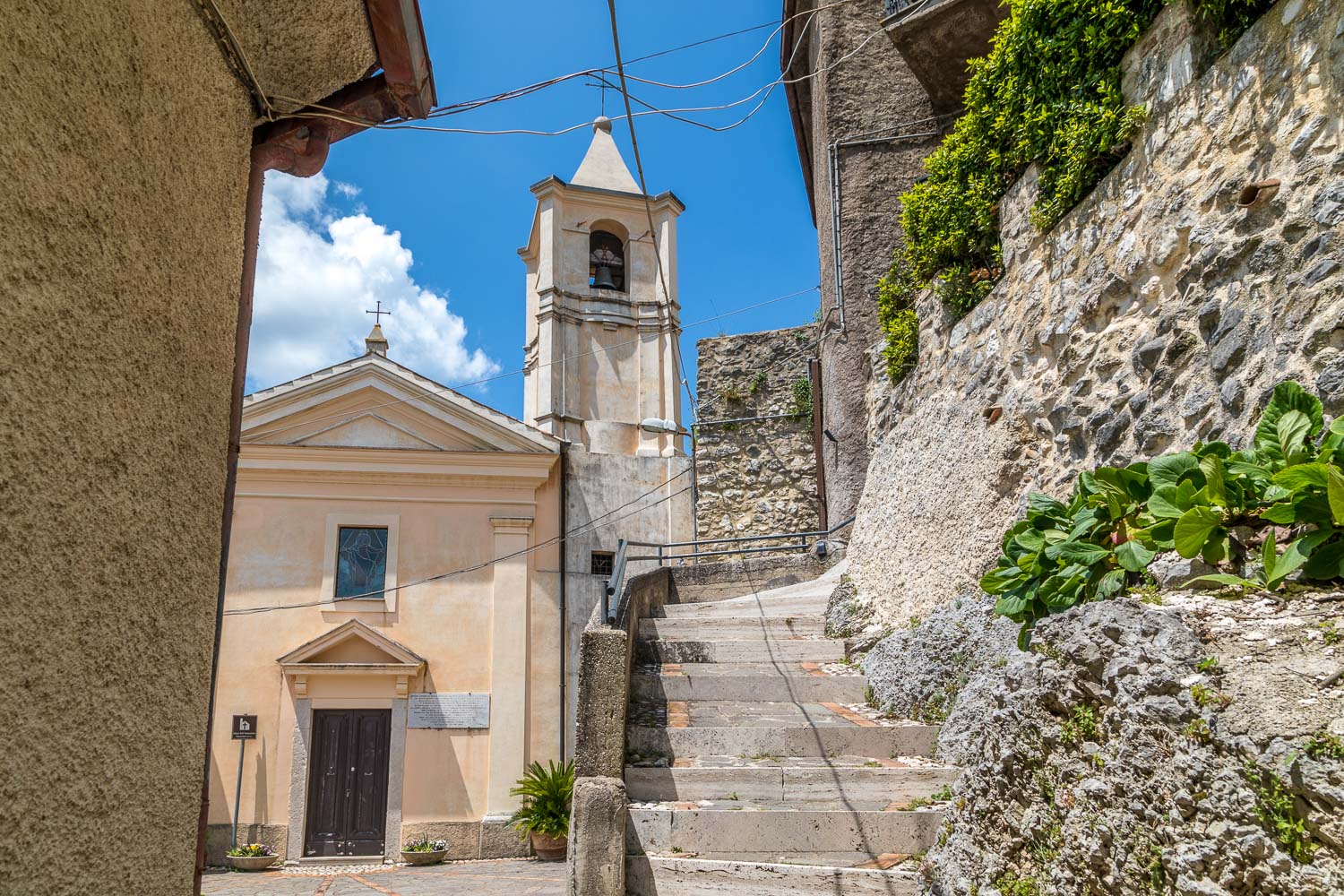
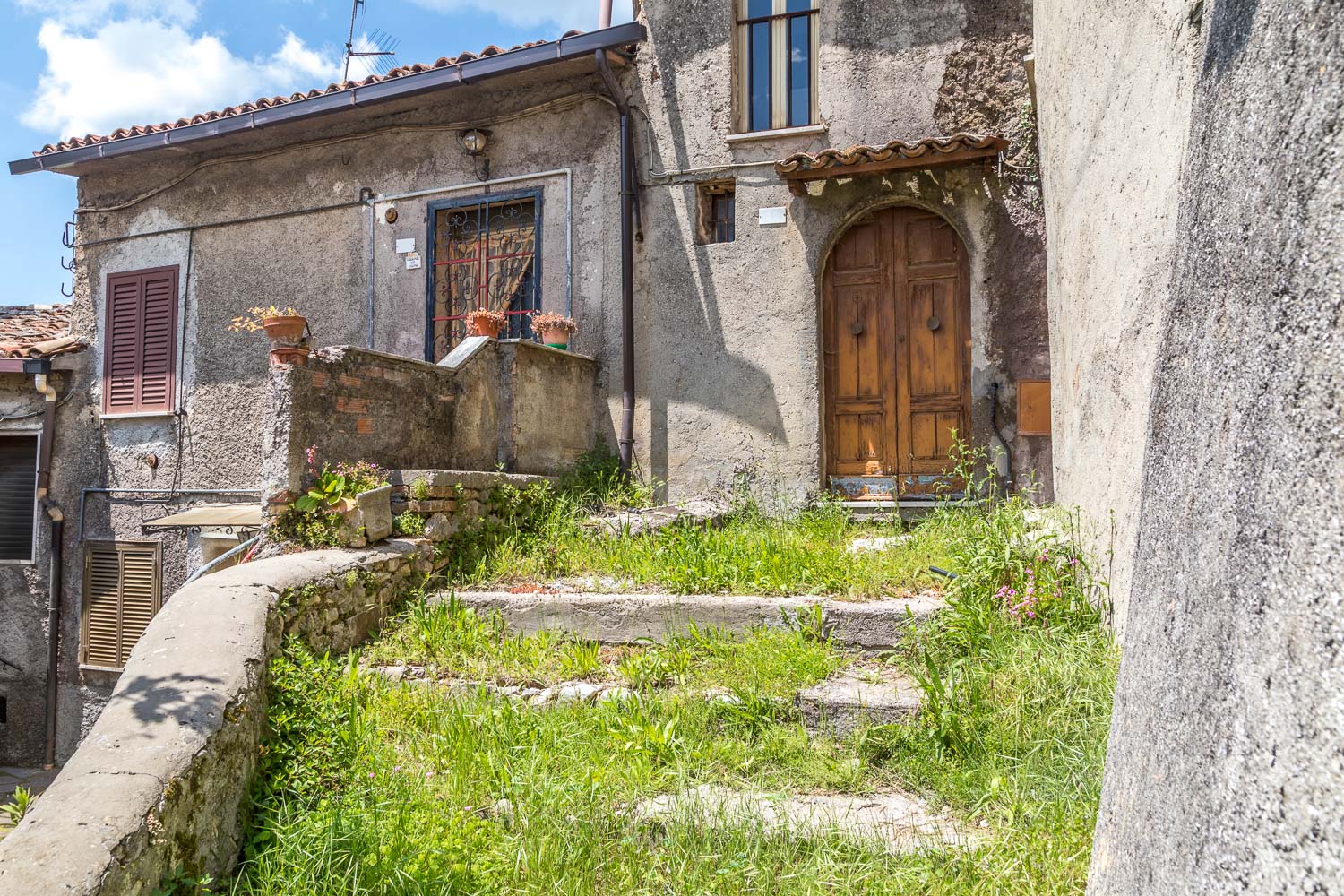
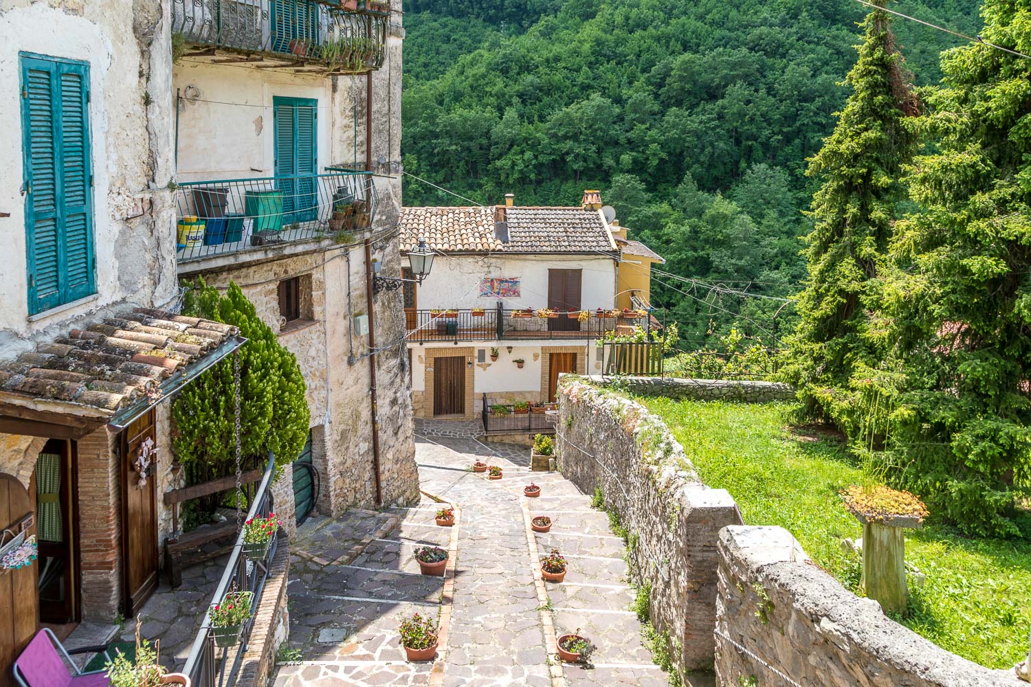
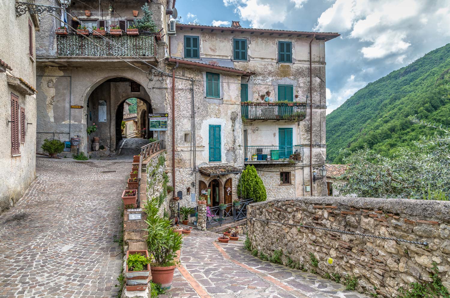
We parked in the free car park at the edge of the village and walked towards its centre. Most of Posticciola is a traffic free zone and, in common with the Sabine Hills area in general, it’s also relatively tourist free. We made our way around the ancient streets which are completely unspoilt and which enjoy tremendous views over the surrounding hills.
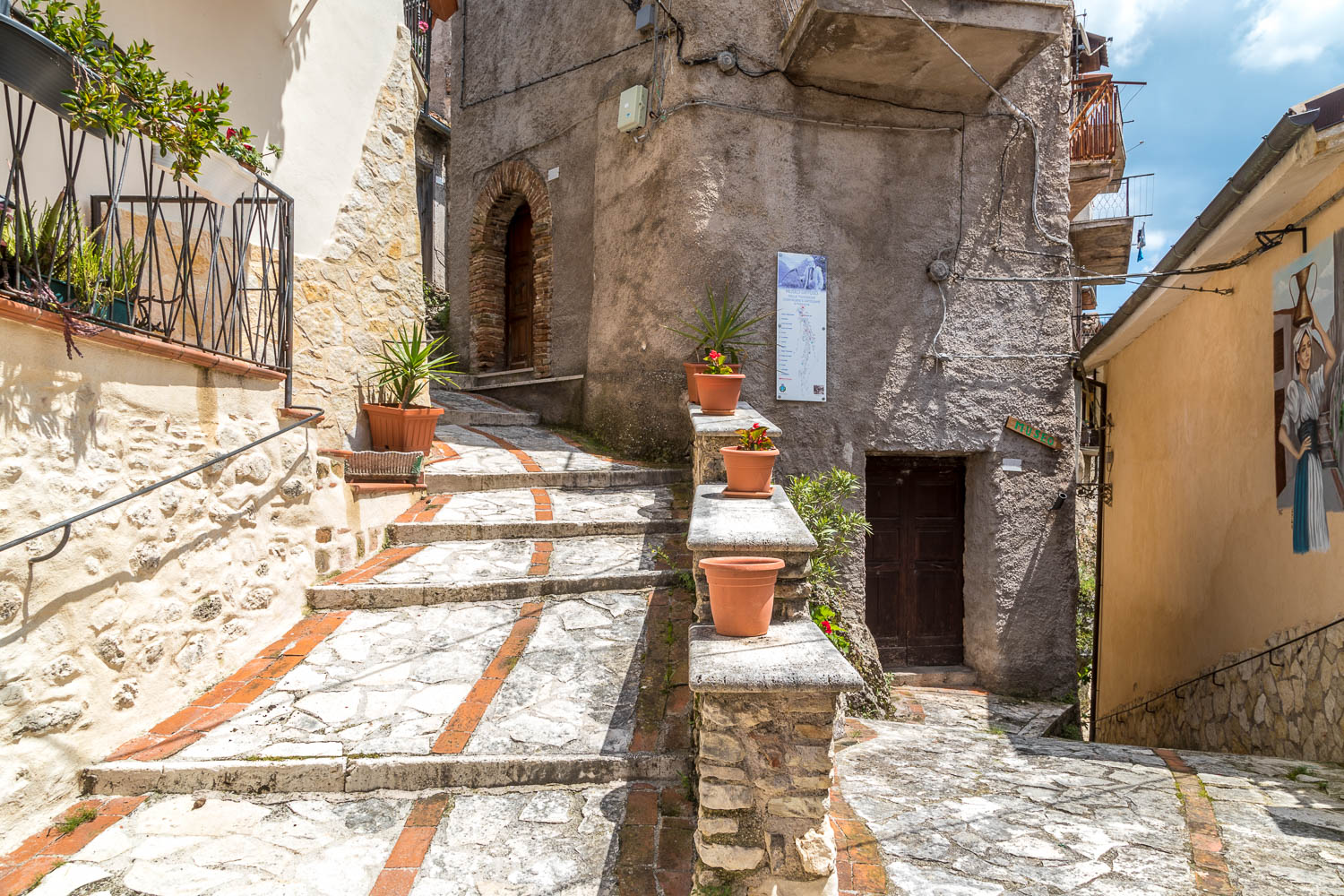
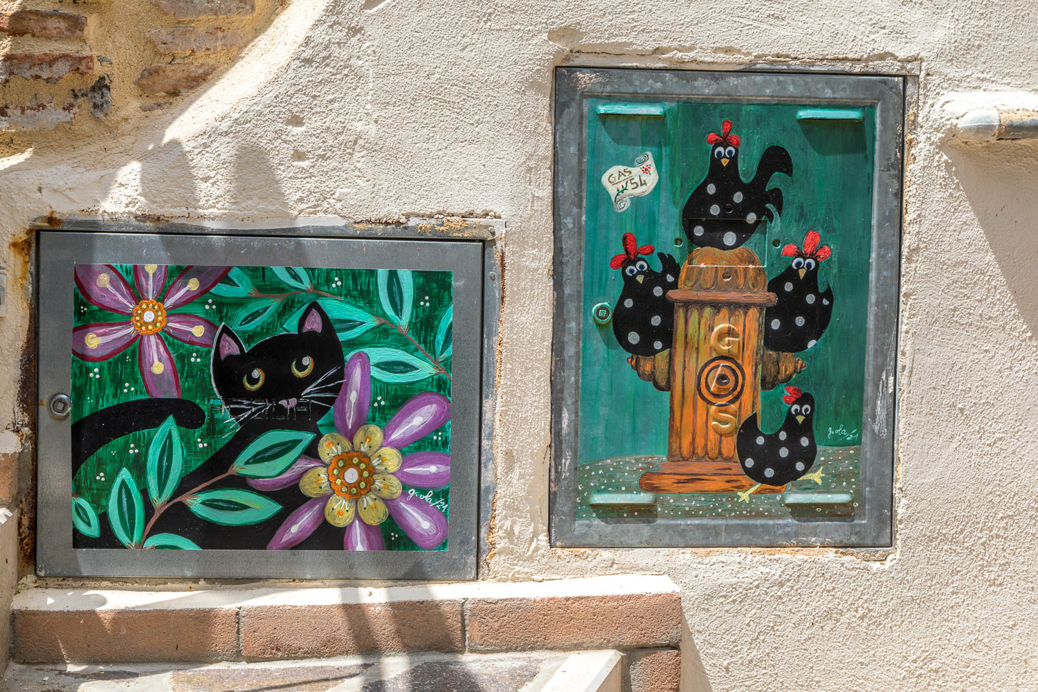
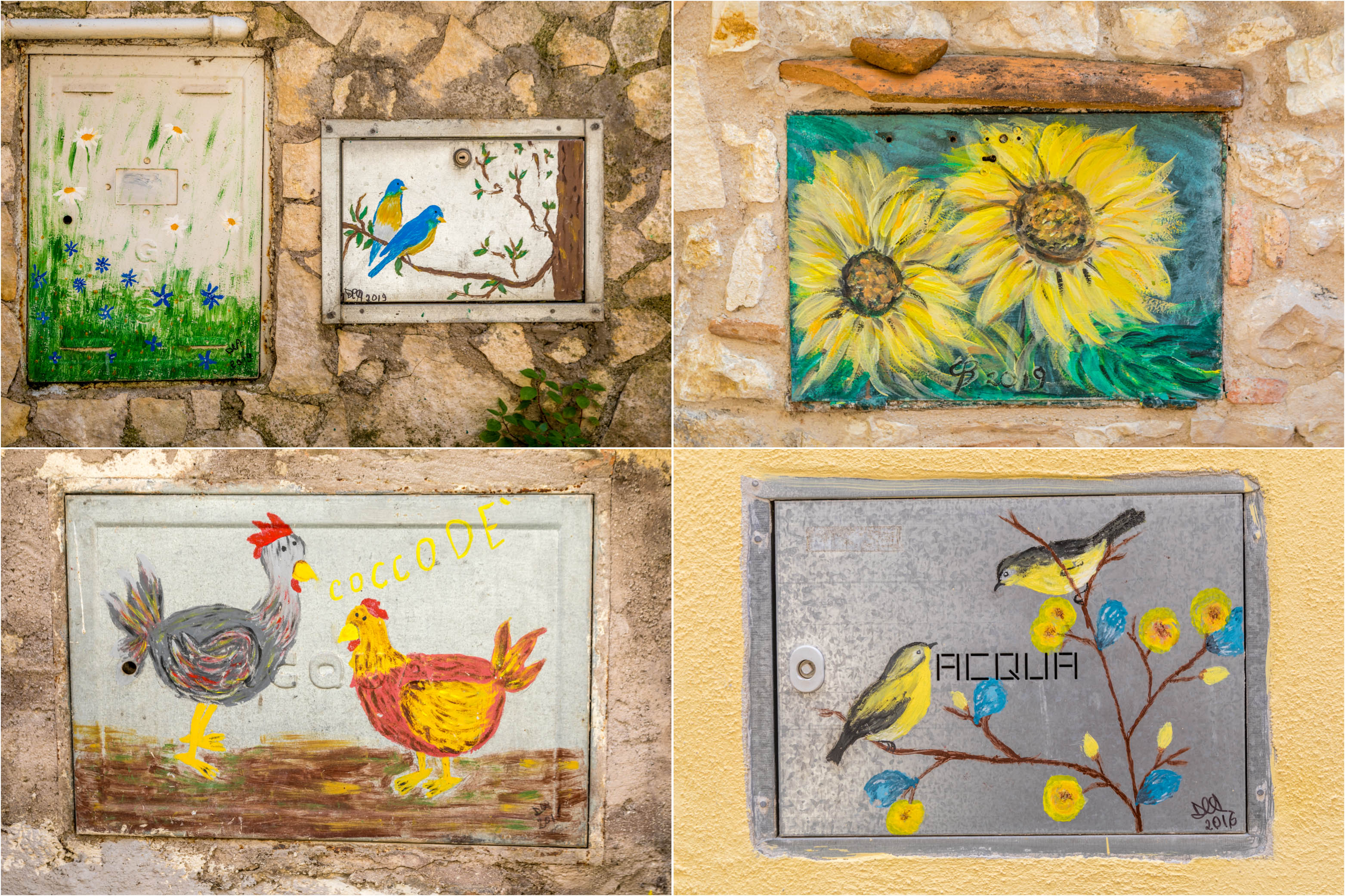
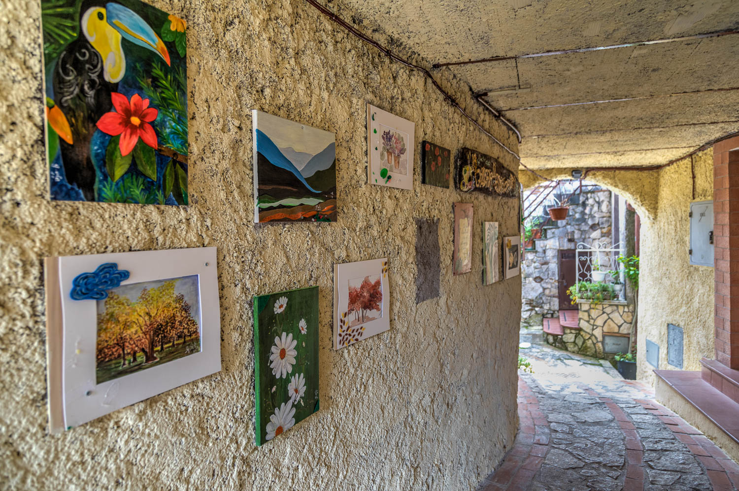
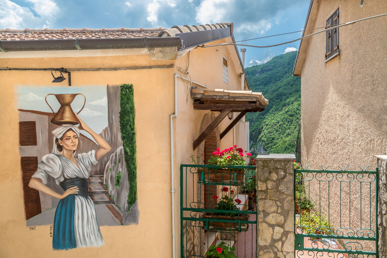
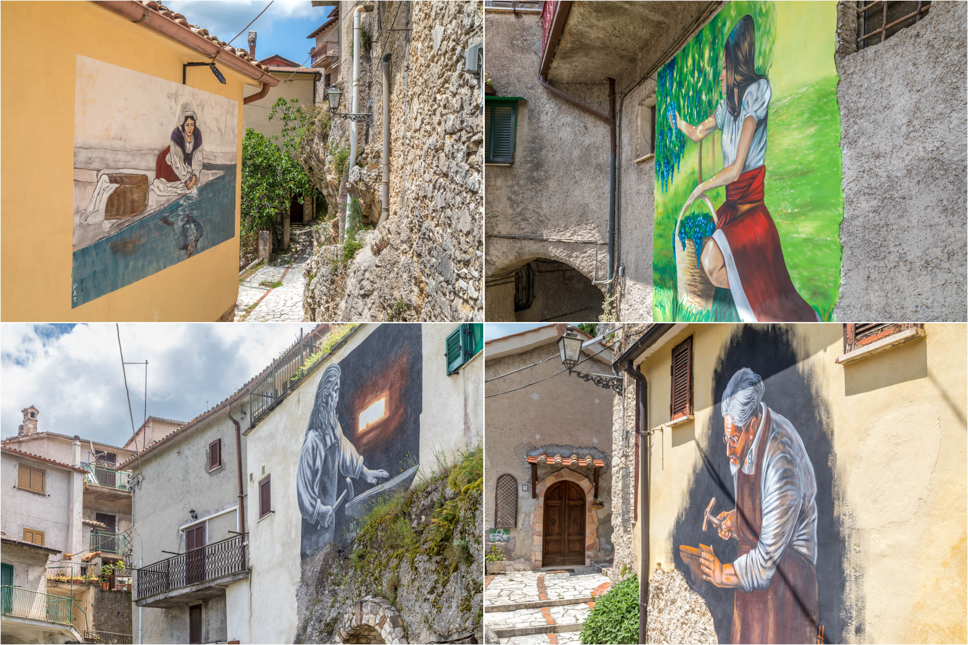
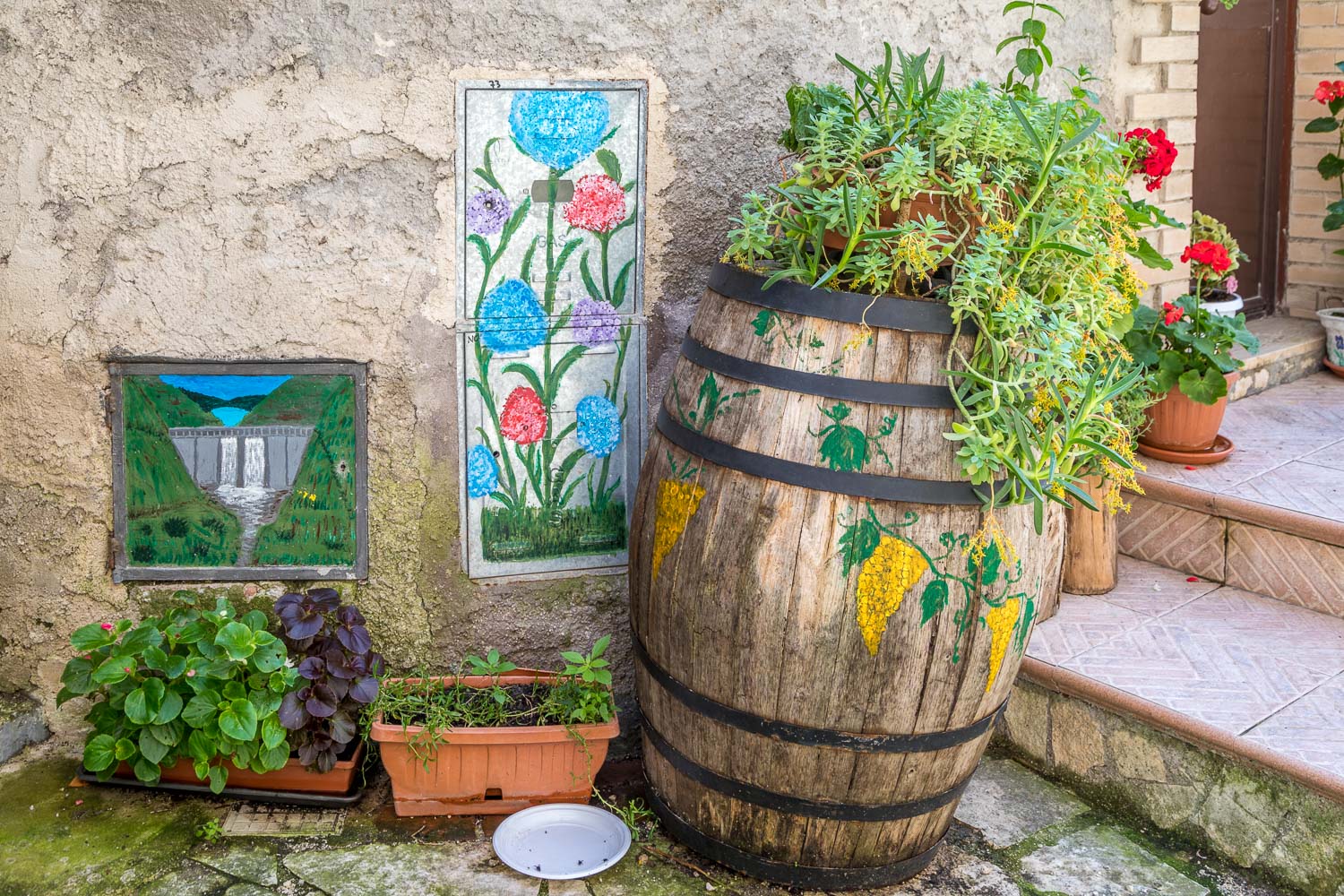
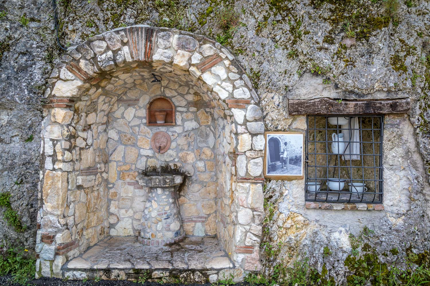
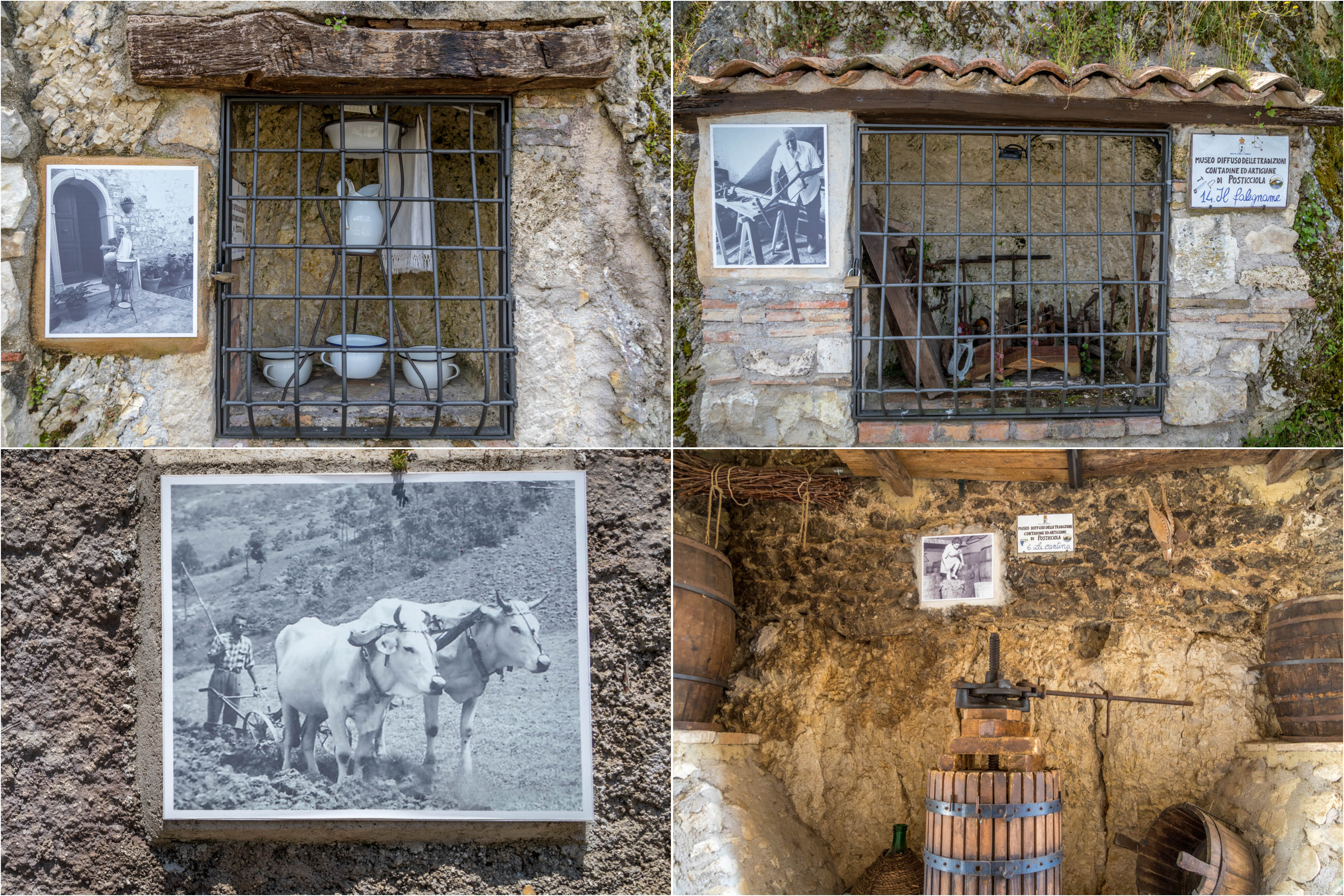
This is a place which has great respect for old traditions and along the way there are various murals and displays in honour of the old artisans – the village blacksmith, the carpenter and others. There is also a small museum ‘Museo Diffuso’ dedicated to the old way of life in the village
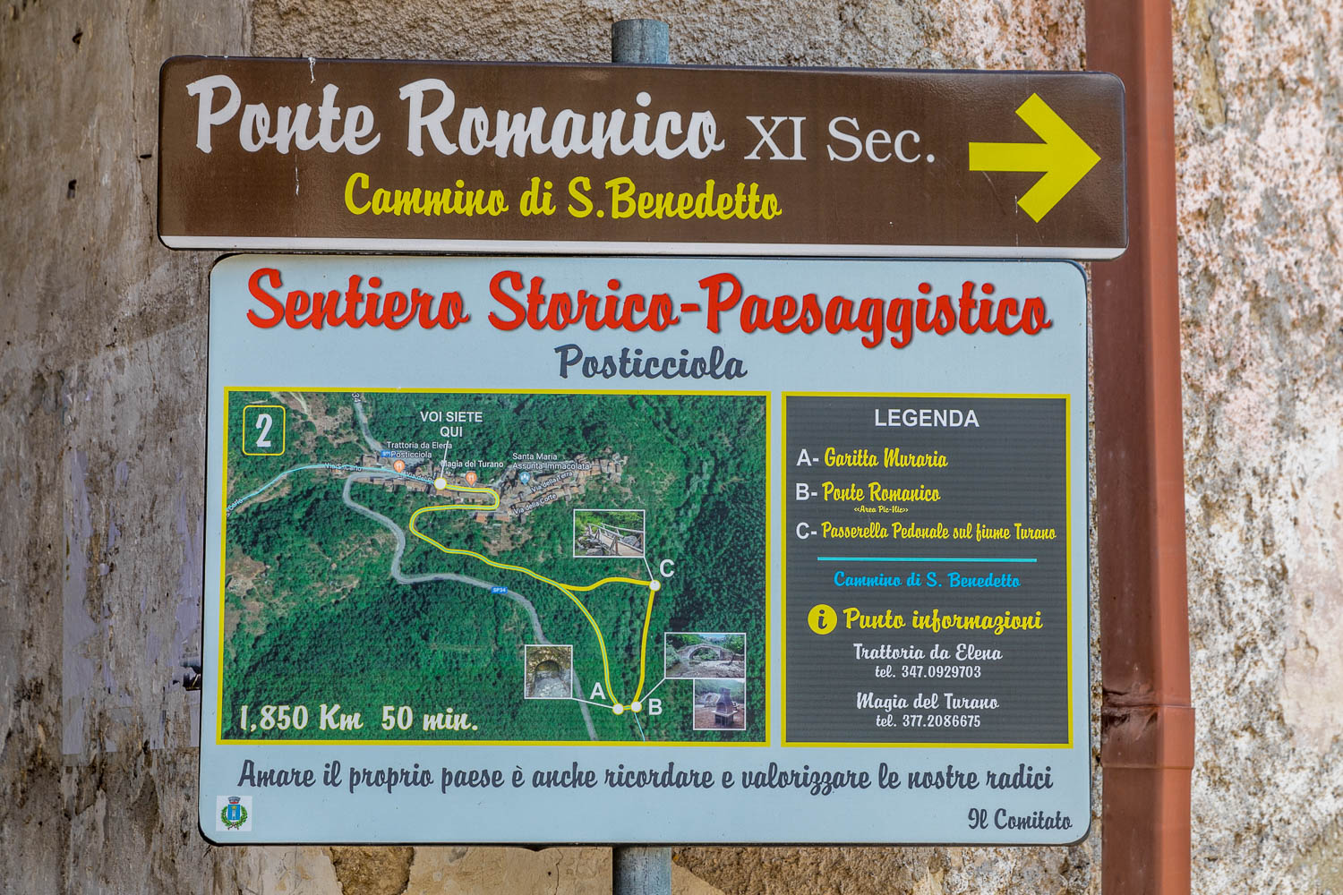
For anyone looking to extend this short walk there are two circular walks from Posticciola, one visiting a viewpoint (70 minutes) and the other an ancient Romanesque bridge (50 minutes). Details are on a poster in the village and in a free leaflet available at the small tourist office. My new knee wasn’t up to this today but we were well content with our meander around this beautiful place
During the course of our short stay in the Sabine Hills area we visited seven ancient small villages and towns – Posticciola (today’s walk), Colle di Tora, Castel di Tora, Rocca Sinibalda, Toffia, Frasso Sabino and Monteleone Sabino. These general comments apply to all of them, and no doubt to the many other old villages in the region. Anyone following our footsteps is advised to park outside the old areas for two reasons: firstly, traffic regulations are in place which restrict entry to locals and, secondly, the streets are very narrow and winding, and inevitably peter out. Once in, it would be hard to get out. These quiet communes do not cater for mass tourism and although there may be the occasional village shop, local bar or restaurant there is no guarantee that it will be open for business. I’ve provided the customary route maps of our walks, but it’s not necessary to follow a set route. There are numerous alleys, staircases and narrow passageways and it’s best to follow whichever of these looks to be the most tempting
Click on the icon below for the route map
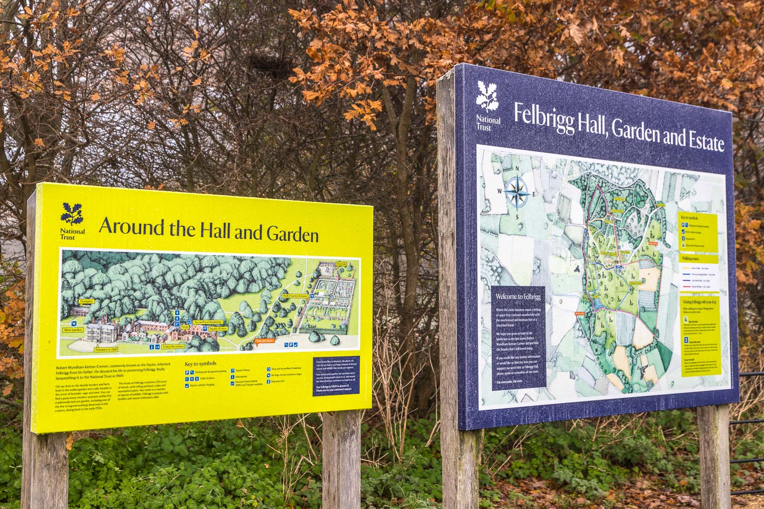
Signboard in the National Trust car park - a visit to Felbrigg Hall would be a good way to end the walk, but we didn't have time for that today
Scroll down – or click on any photo to enlarge it and you can then view as a slideshow
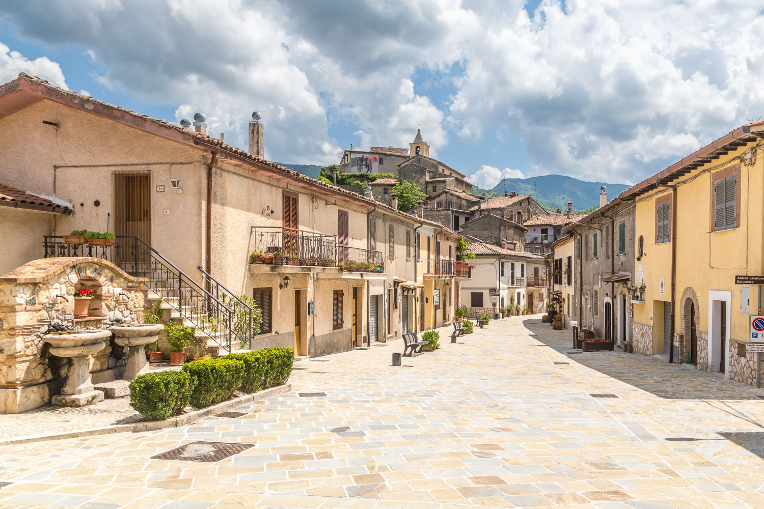
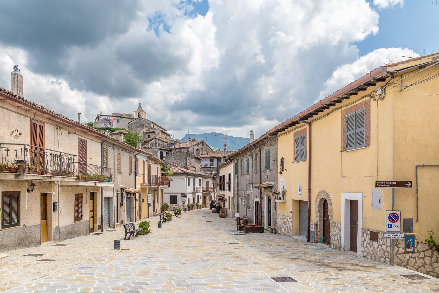
Having parked in the free car park at the edge of the village we walk along the main street, part of the long distance Cammino di San Benedetto
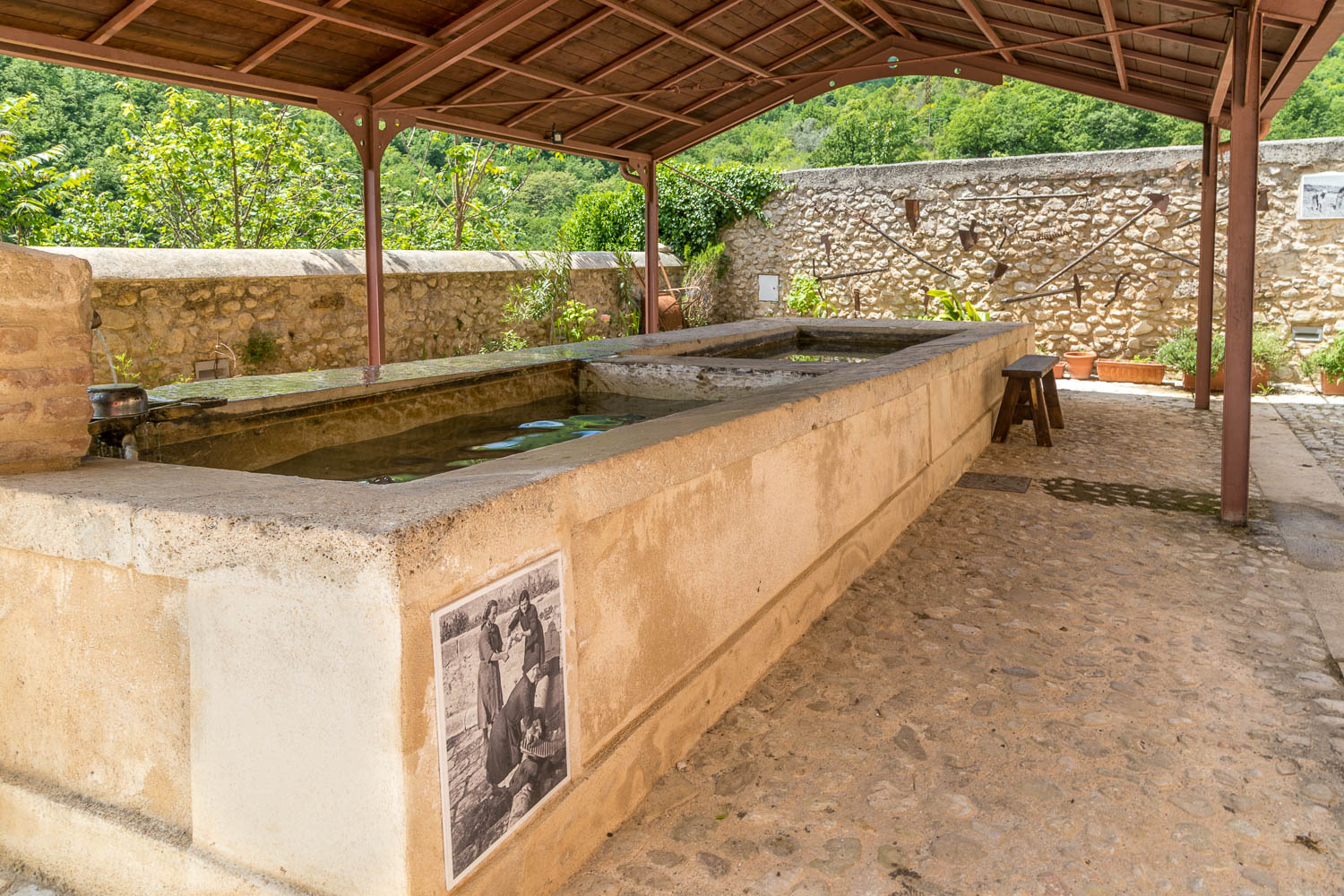
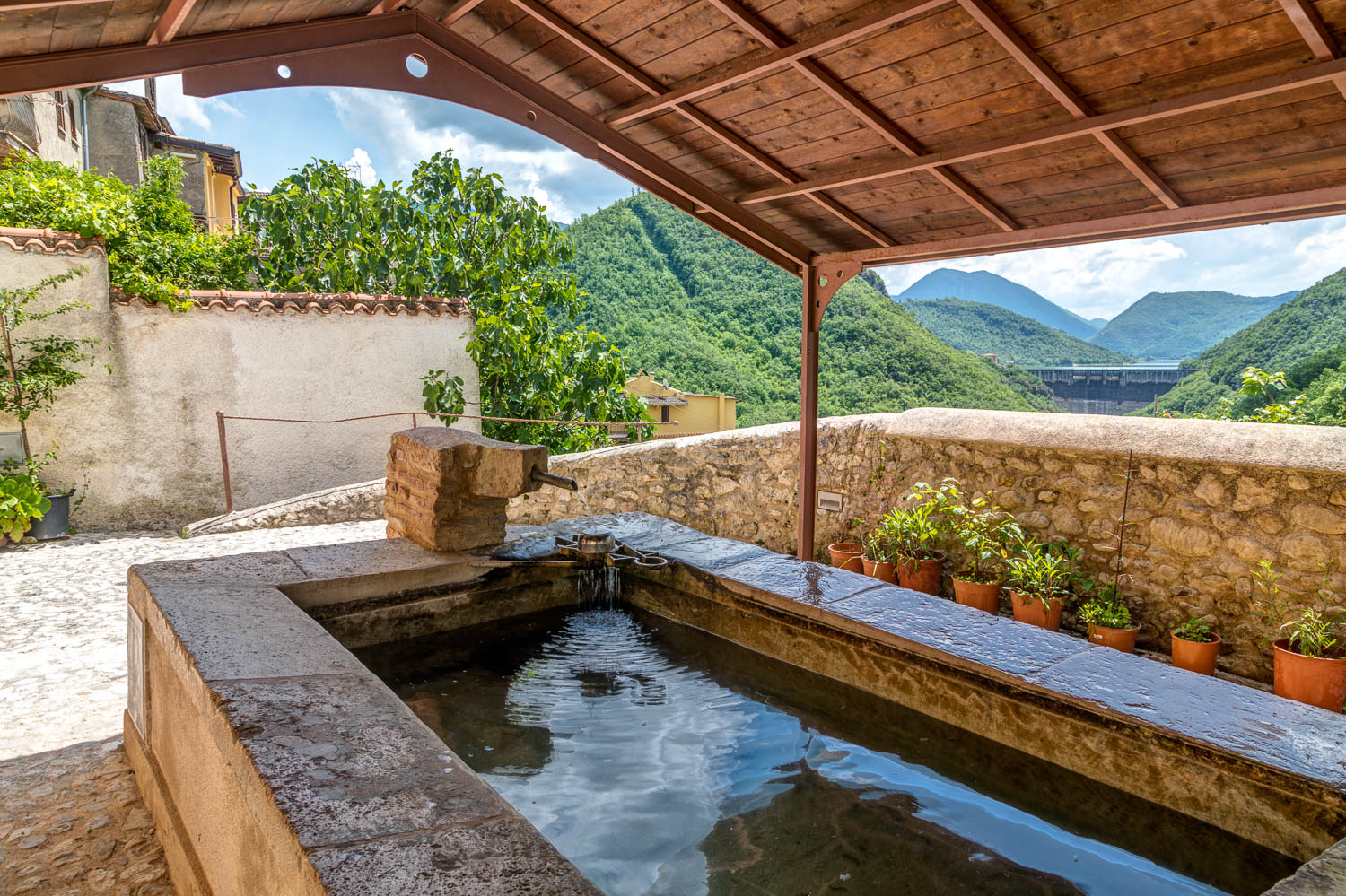
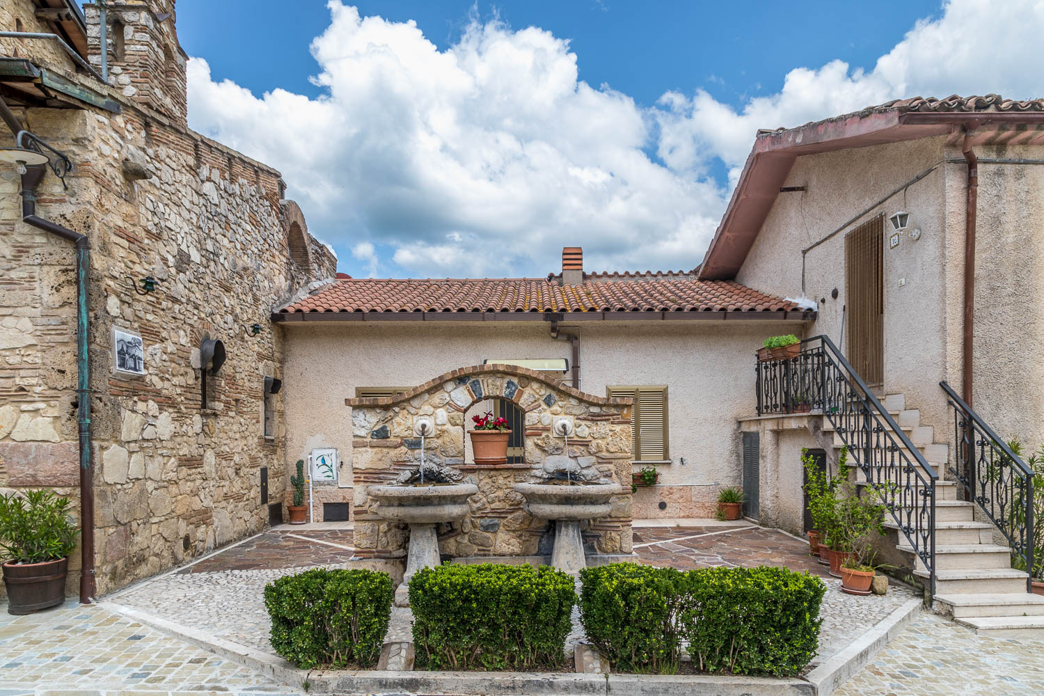
We make a short detour at a sign 'Antico Lavatoio' which takes us to the old laundry - where one of the locals was washing salad from his allotment
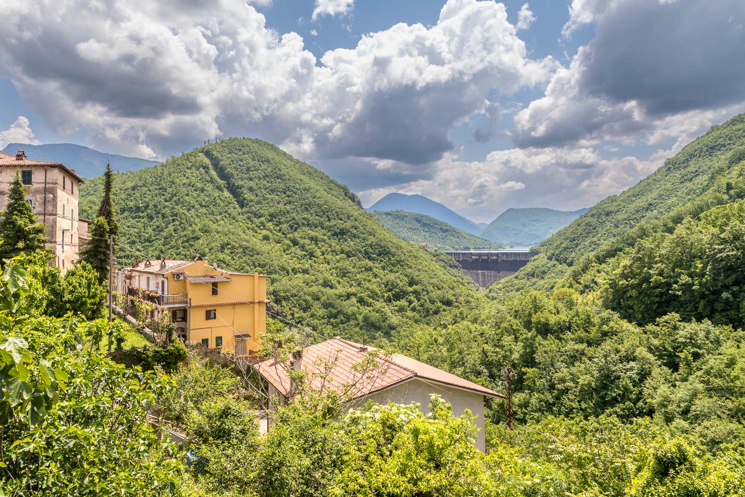
View of Lake Turano from the old laundry. As can be seen from here, it's a reservoir. We will visit a couple of the lakeside villages later in the week
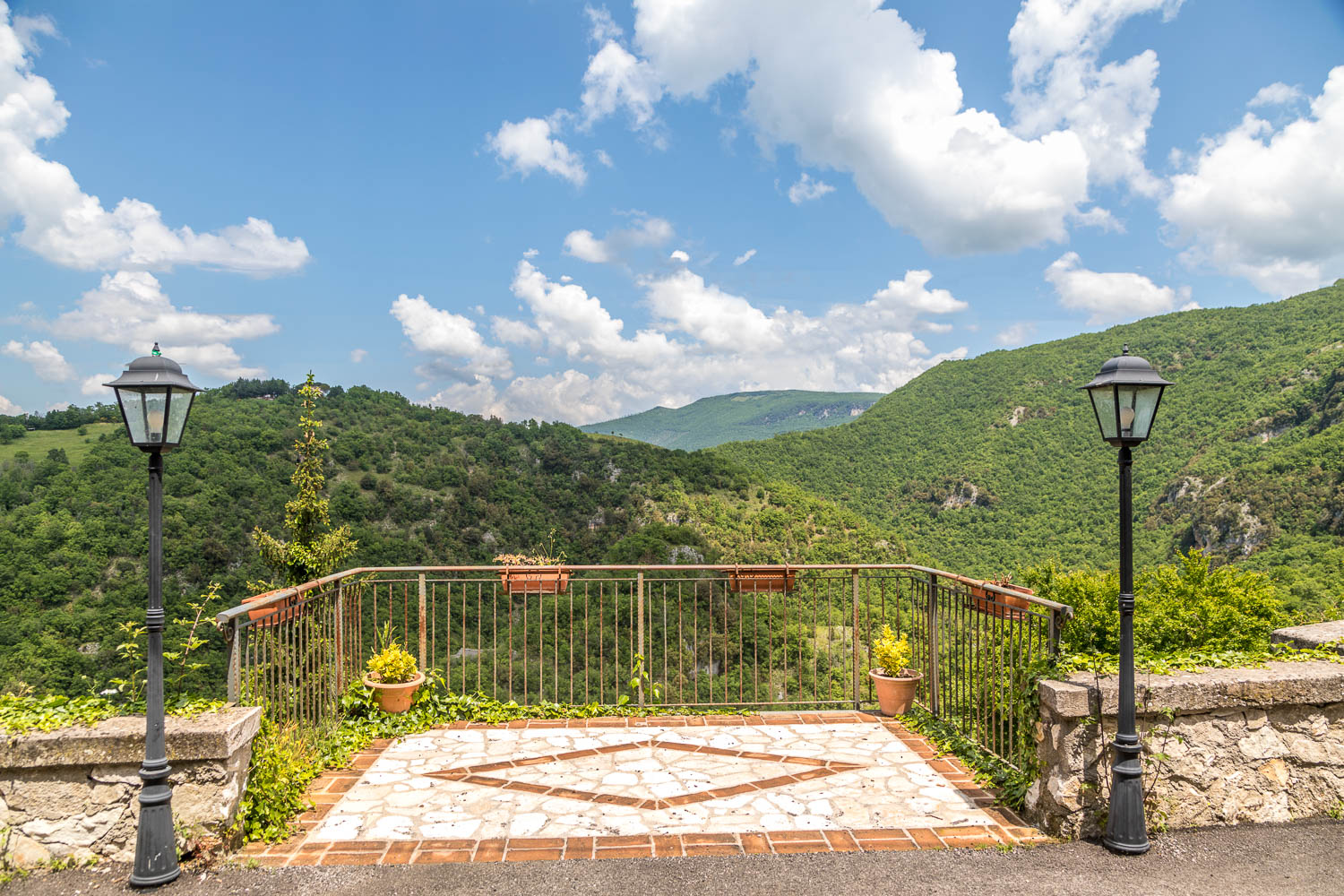
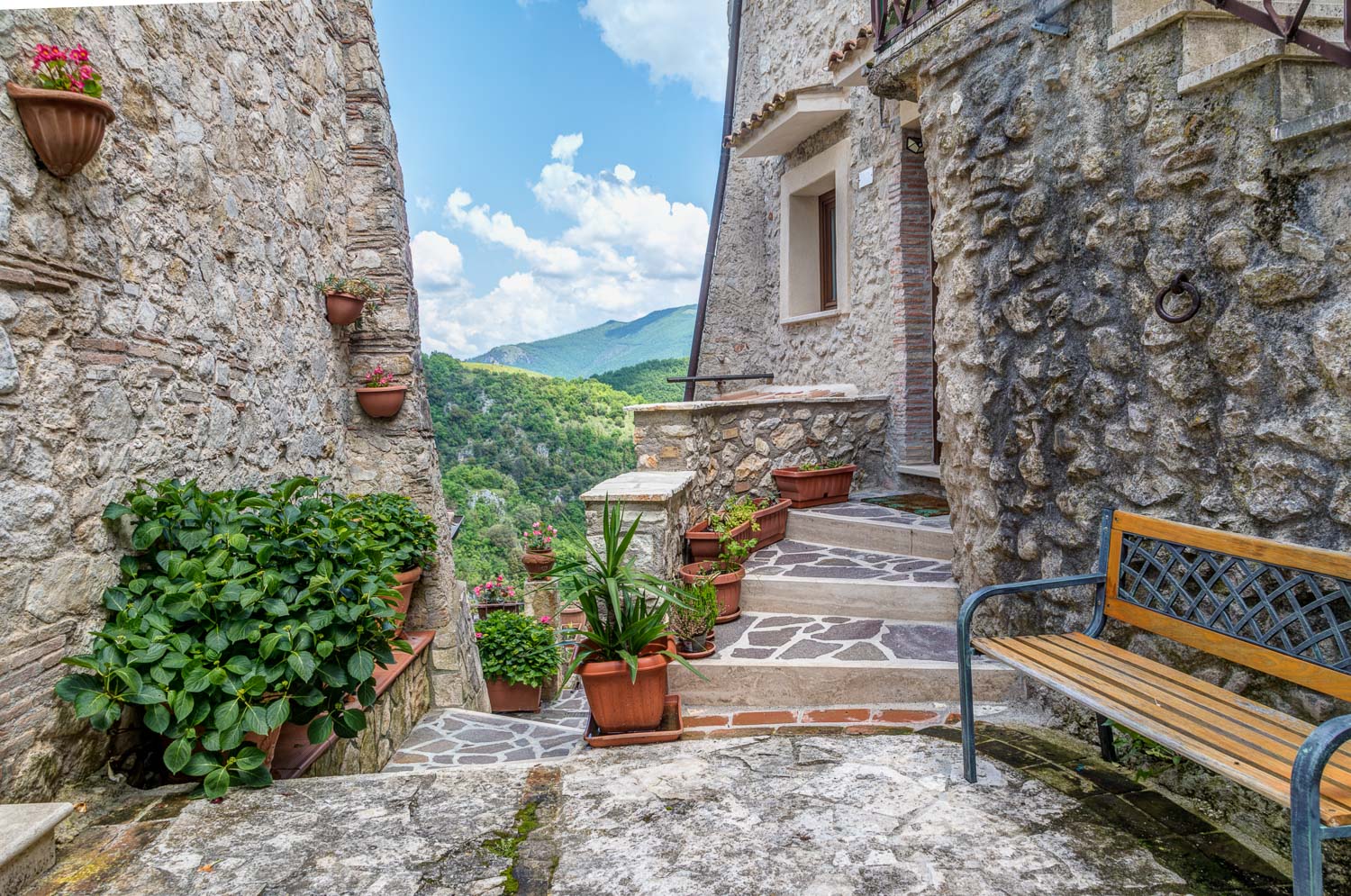
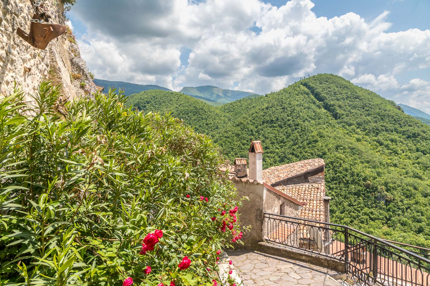
Thanks to the position of the village there are various belvederes along the way looking out over the Sabine Hills

