Route: Pont du Gard
Area: Gard, Southern France
Date of walk: 27th September 2018
Walkers: Andrew and Gilly
Distance: 11.0 miles
Ascent: 1,100 feet
Weather: sunny and hot
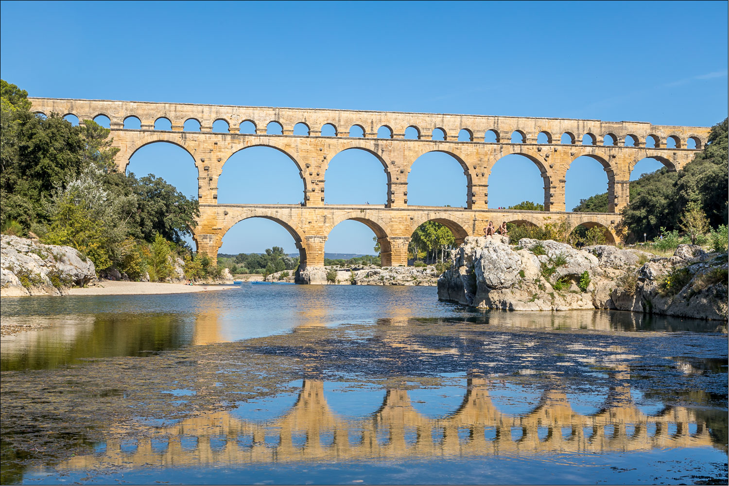
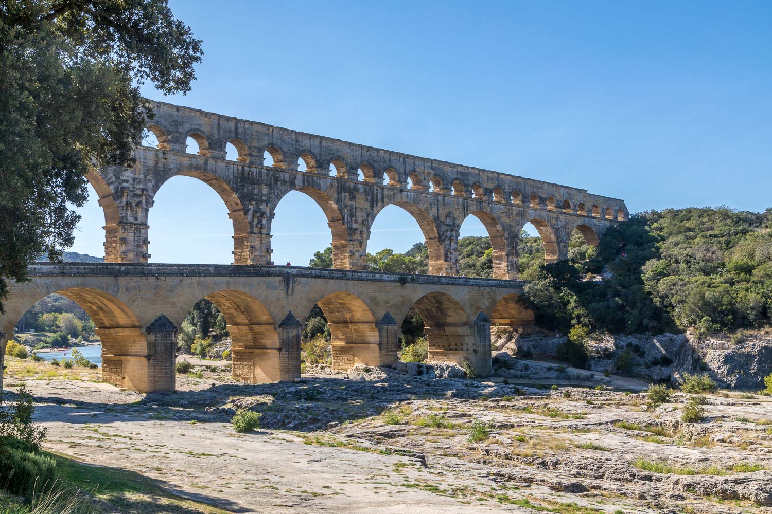
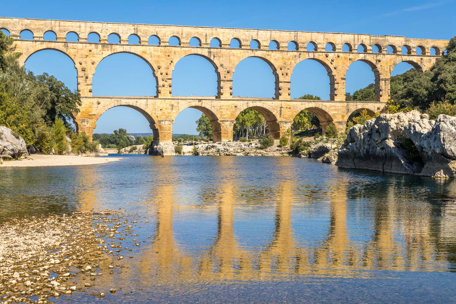
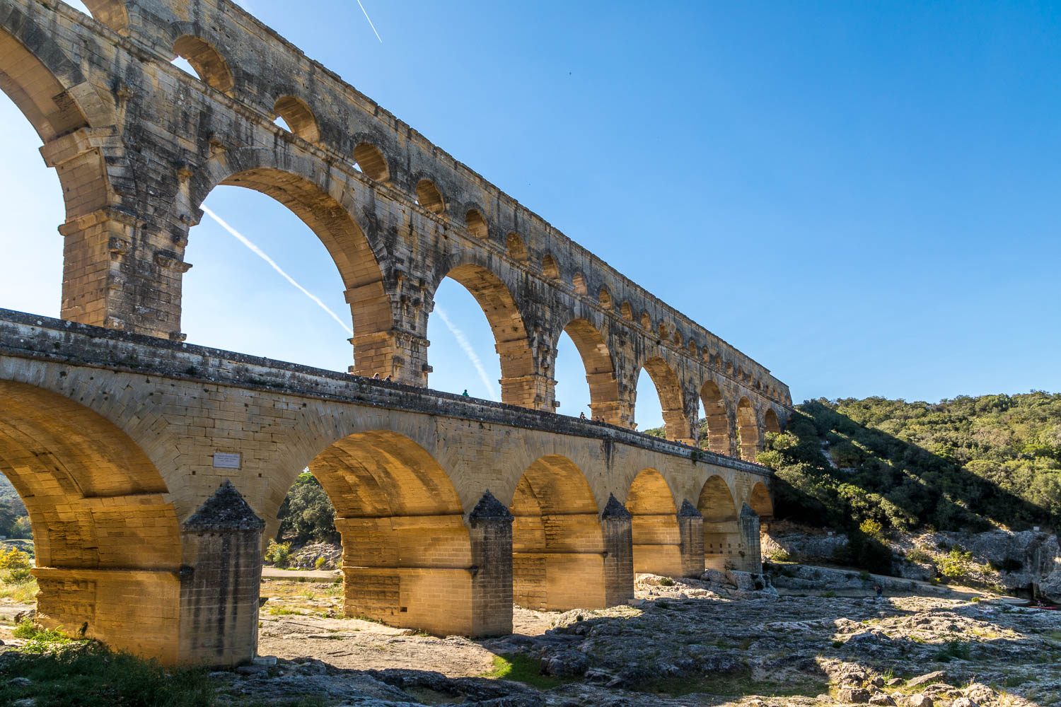
Today was the last day of our three day walking holiday in the Gard region, and fittingly would end at one of France’s most iconic places – the 2,000 year old Pont du Gard, built by the Romans as an aqueduct to transport water to the city of Nîmes
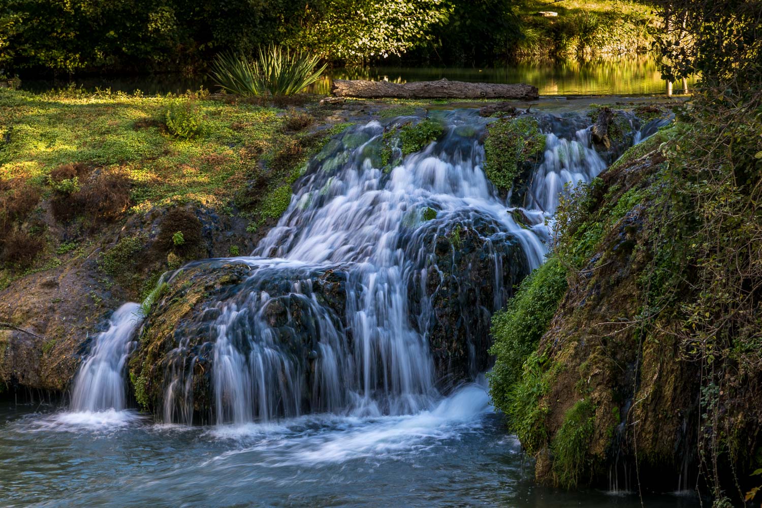
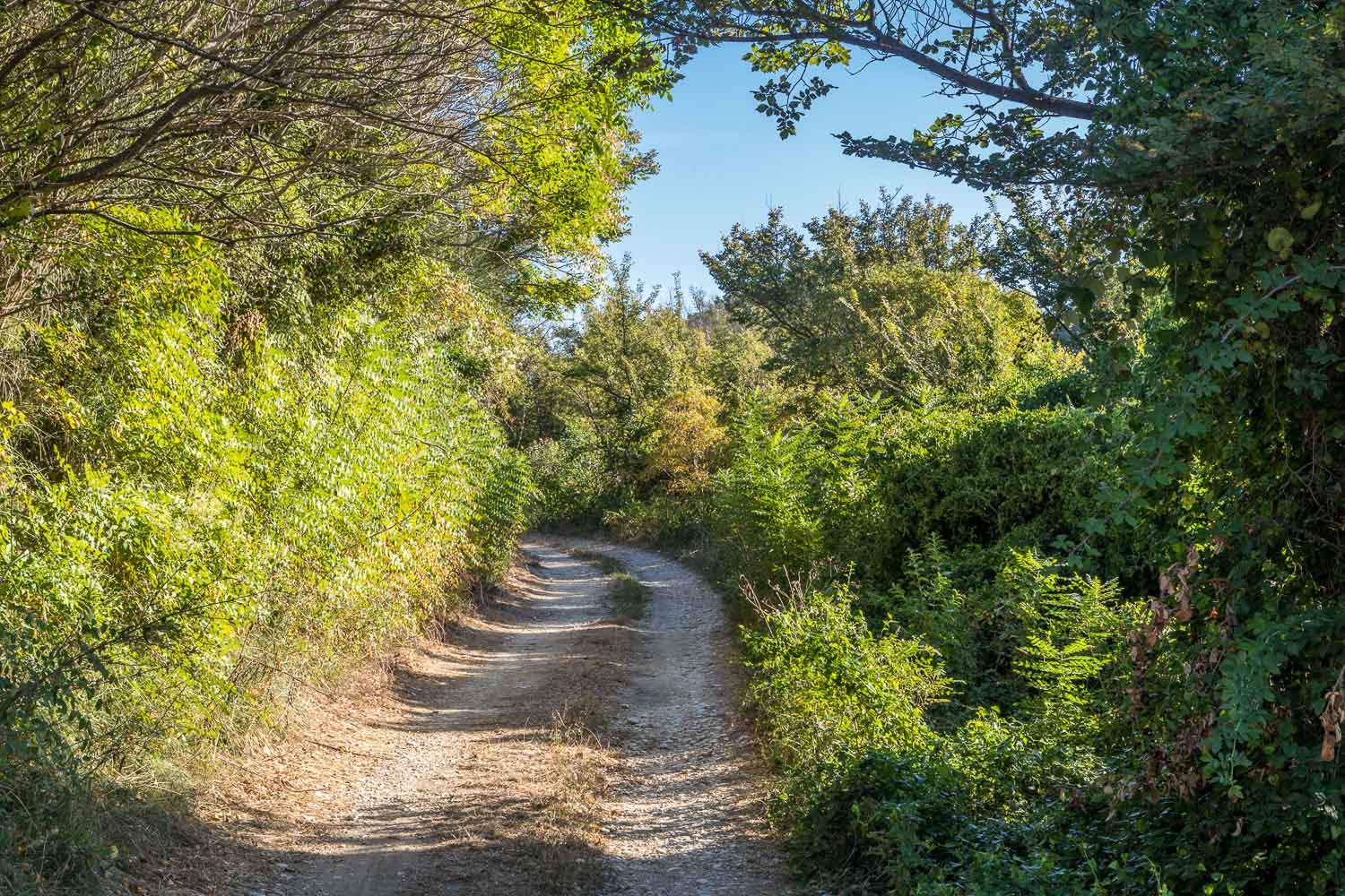
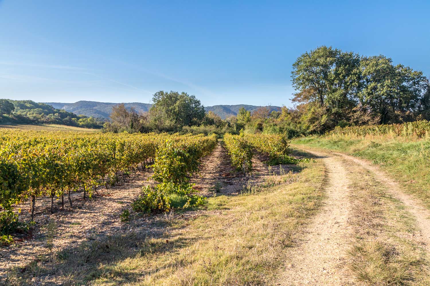
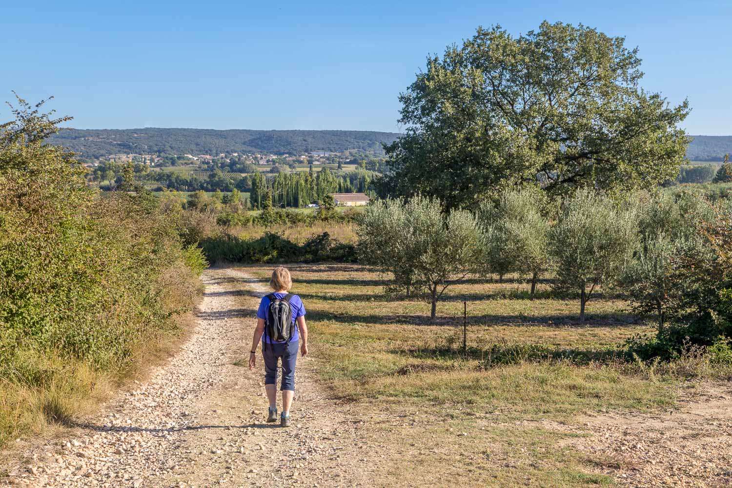
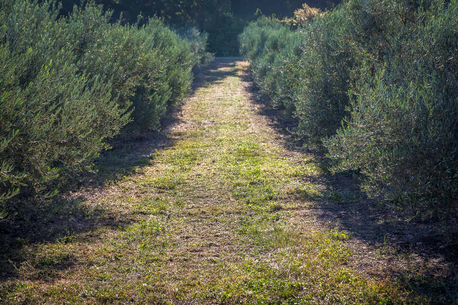
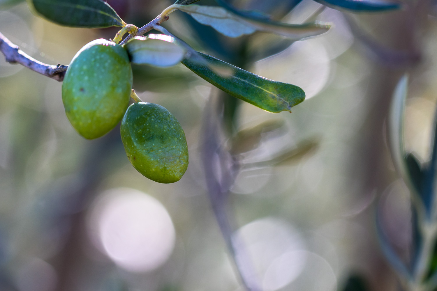
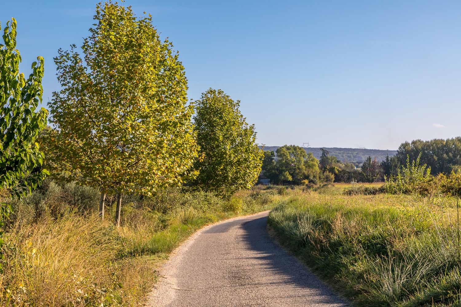
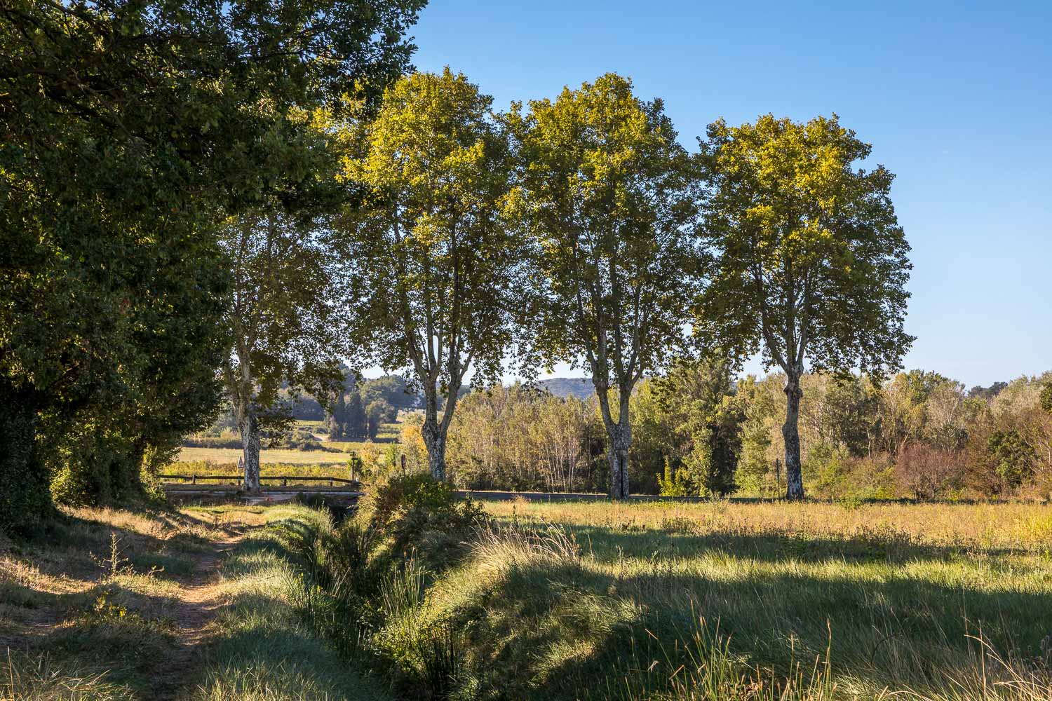
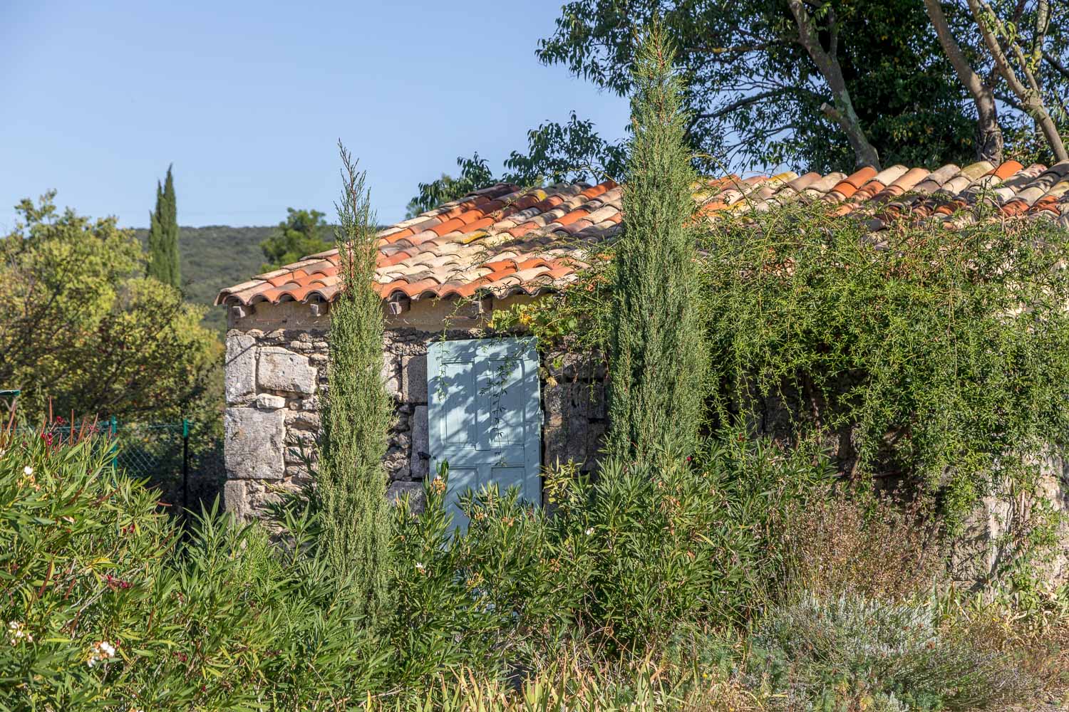
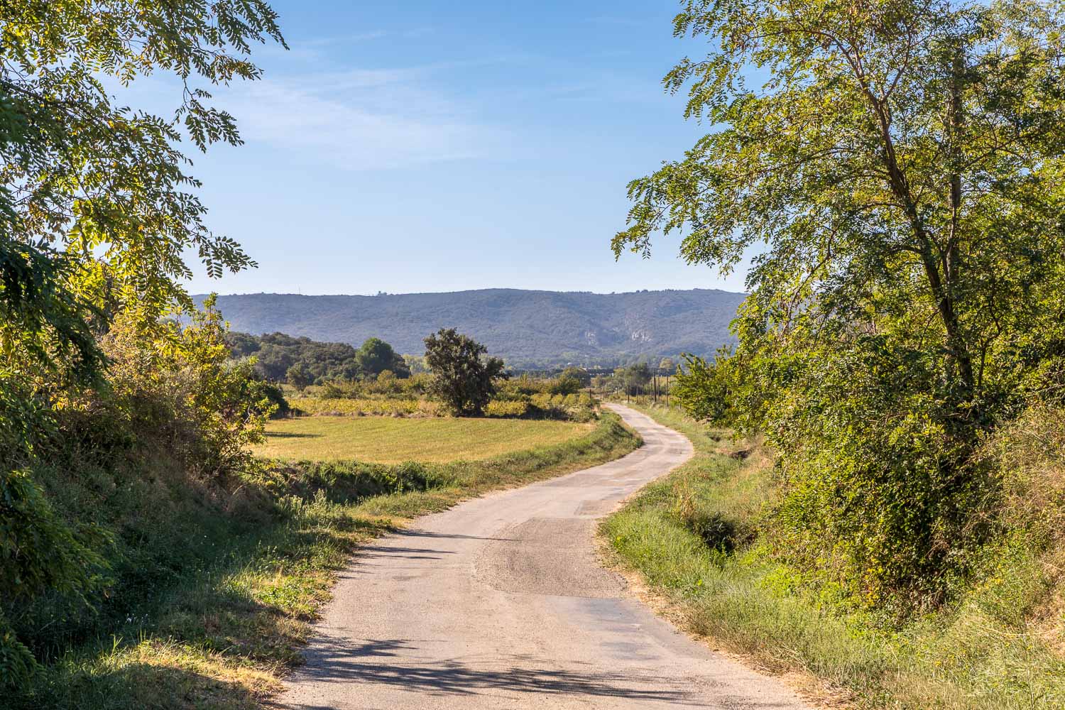
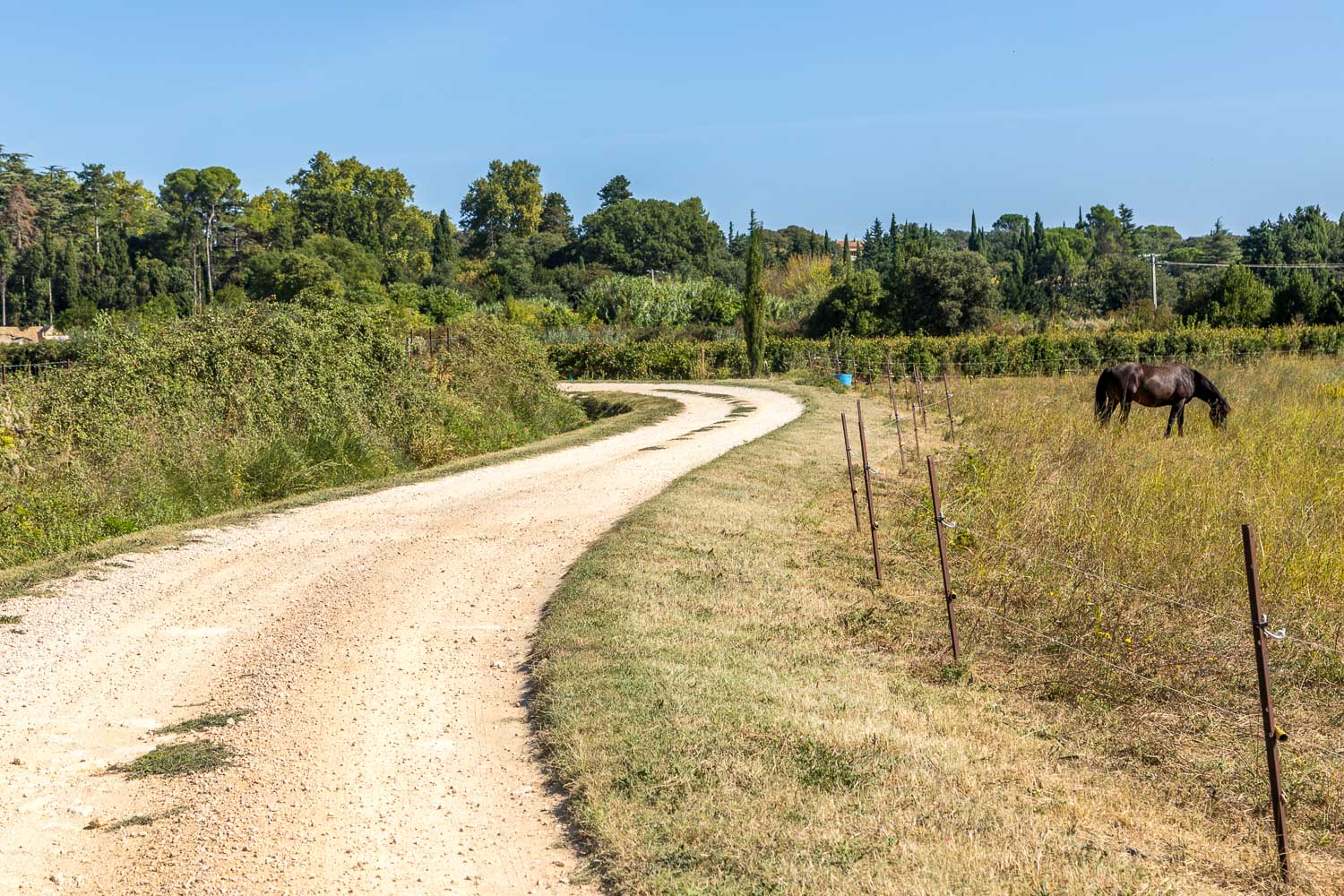
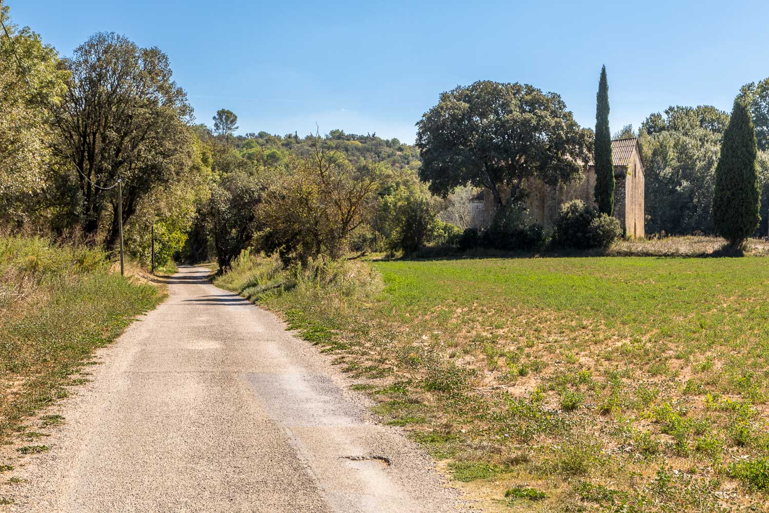
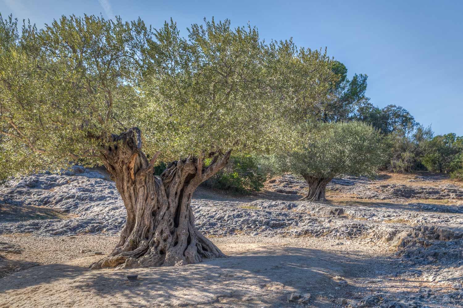
On another cloudless day we set off from our hotel in Collias, passing underneath the bridge which we’d crossed at the start of yesterday’s walk. After passing by an attractive waterfall we walked across the plain of the River l’Alzon, following old farm tracks and deserted country lanes through vineyards and olive groves
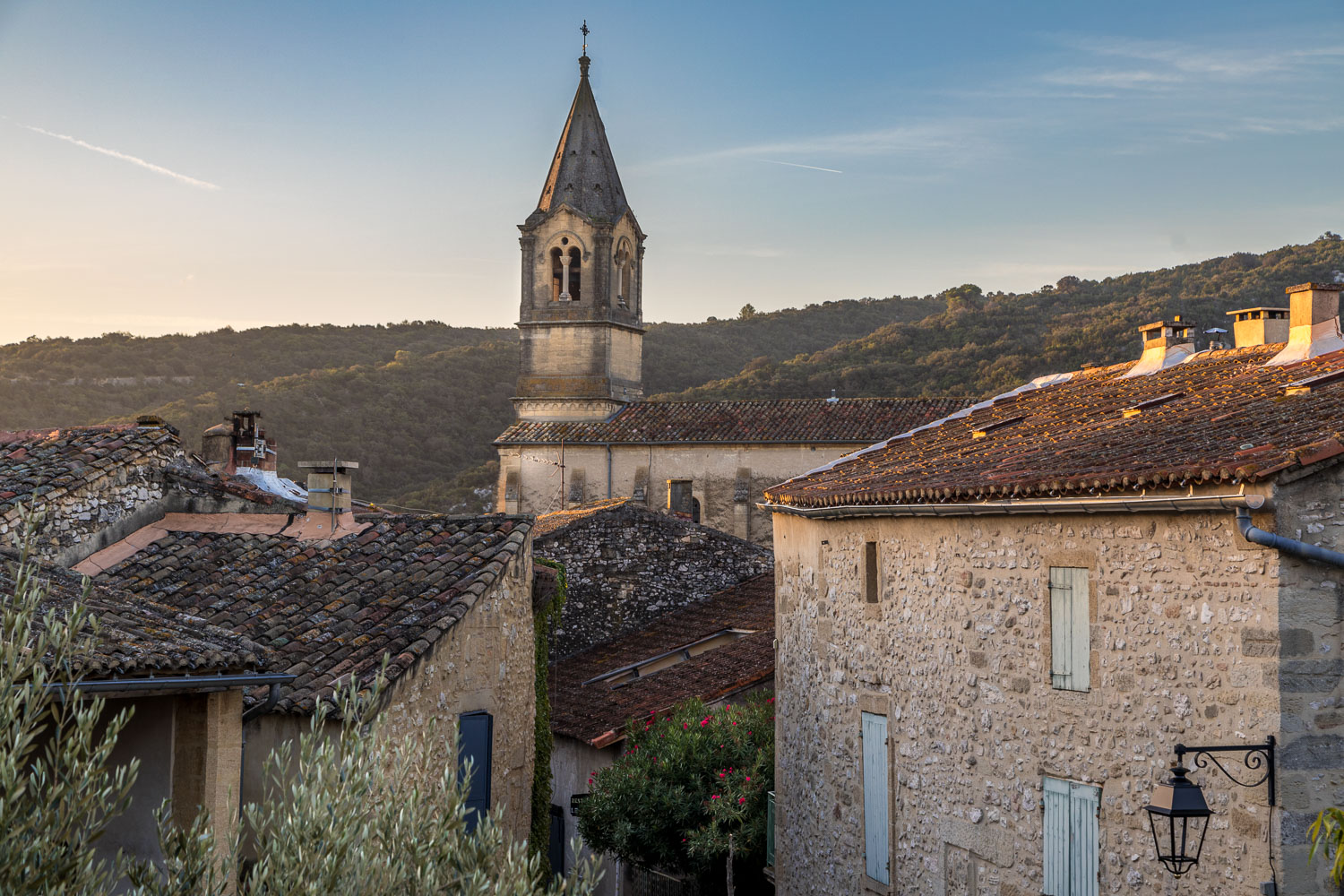
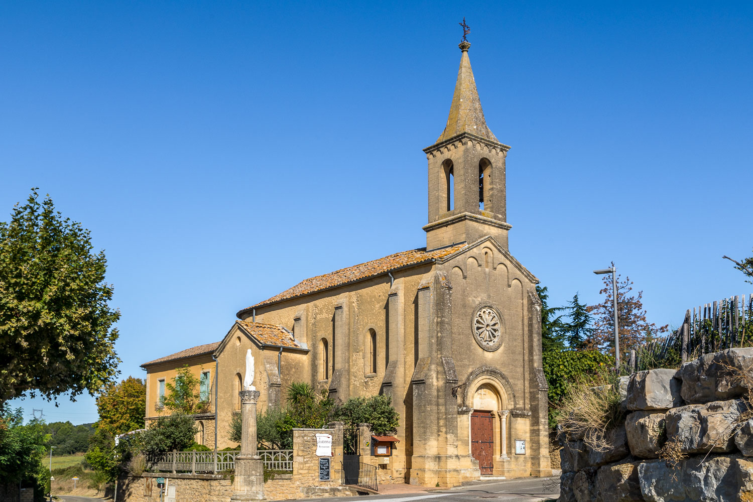
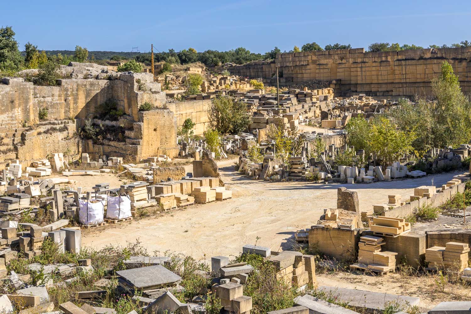
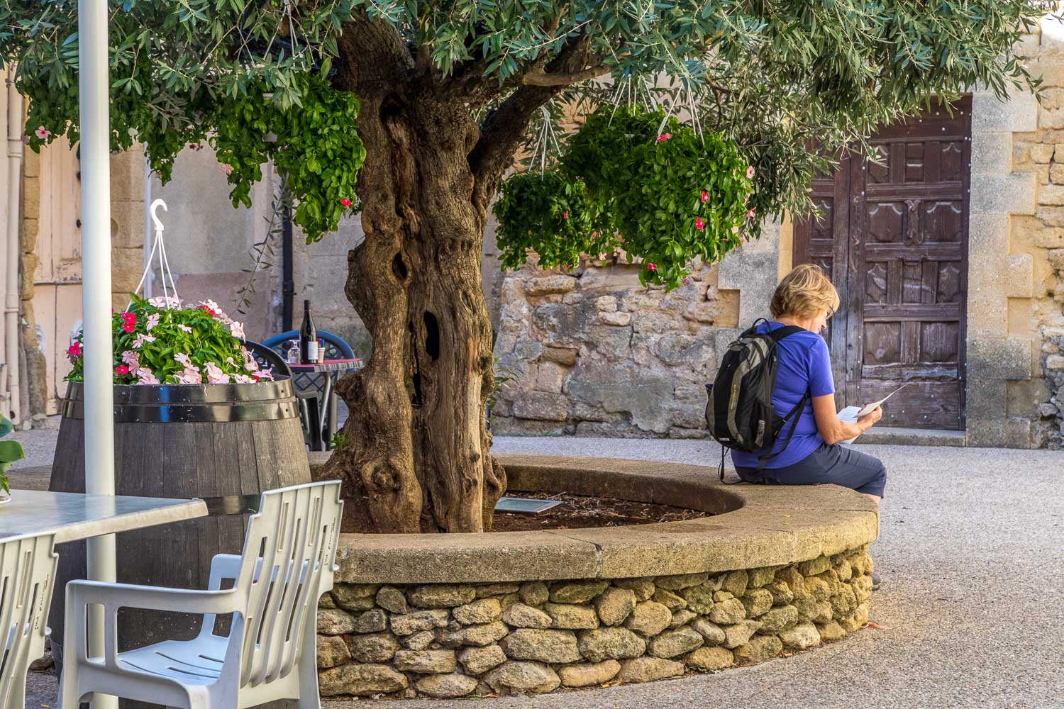
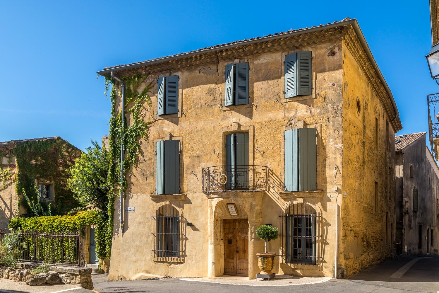
We passed through the small village of Argilliers, detouring briefly to see the attractive church, and then continued across more agricultural land to reach the old stone quarries on the outskirts of Vers Pont du Gard. We wandered around the attractive village for a while and then set off to our final hotel, the nearby La Bégude Saint Pierre, where we checked in, had a well earned beer, and then continued to the Pont du Gard, about 20 minutes walk from the hotel
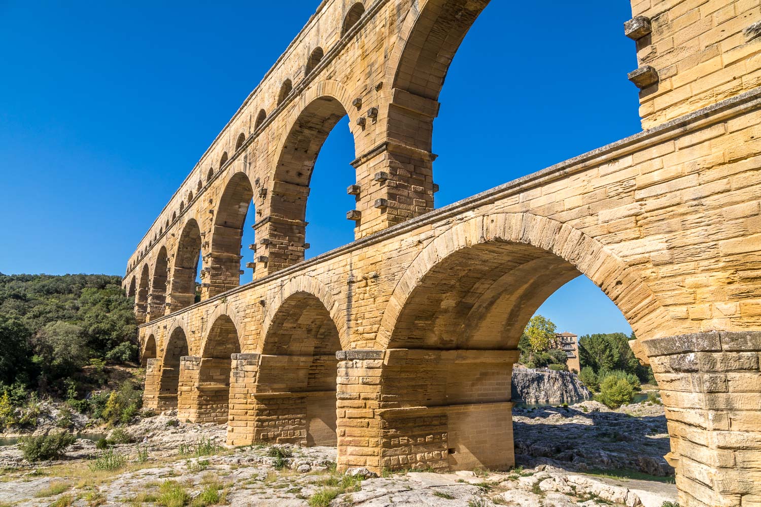
I’ve seen photos of this ancient place before, but none of them do justice to the incredible feat of engineering involved – a gradient as little as 1 in 18,241 (the aqueduct section) was enough to enable the water to flow from its source near Uzès to its destination in Nîmes, a journey of some 30 miles. We spent a couple of hours here, marvelling at the ingenuity of the original builders and engineers as we wandered around admiring the aqueduct from different angles
At last it was time to take our leave, and from the Pont du Gard we retraced our steps back to our hotel and the end of a wonderful journey – thanks to all at Inntravel for another faultlessly organised walking holiday
Click on the icon below for the route map
Scroll down – or click on any photo to enlarge it and you can then view as a slideshow
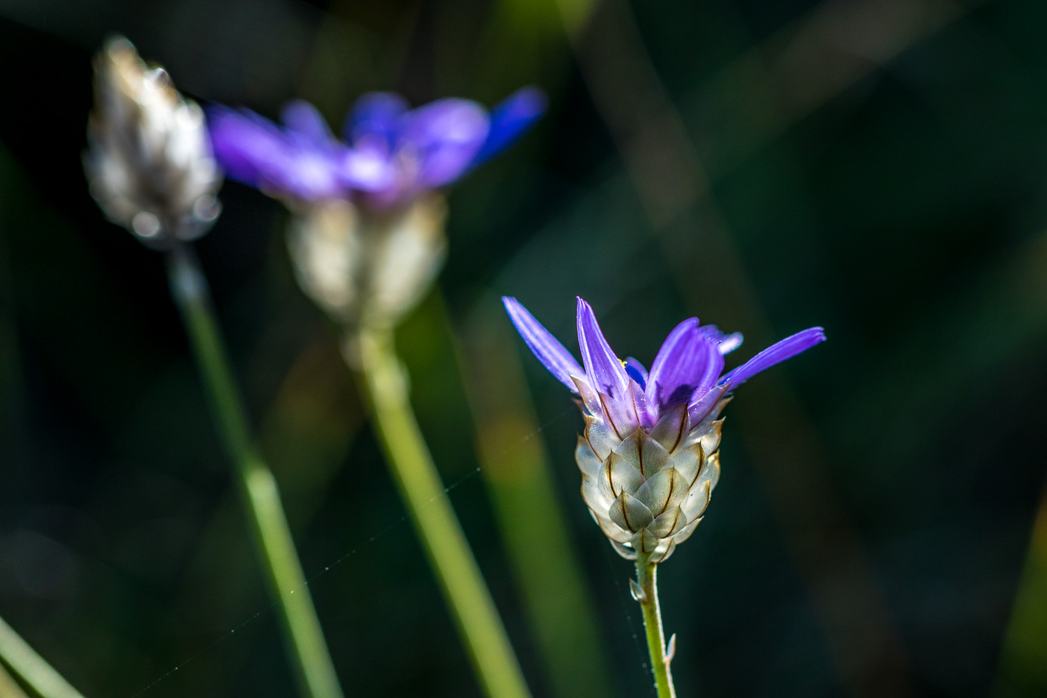
Though it's late in the season, there are still a few wildflowers around (sorry I'm unable to identify this one and if anyone knows please email me)
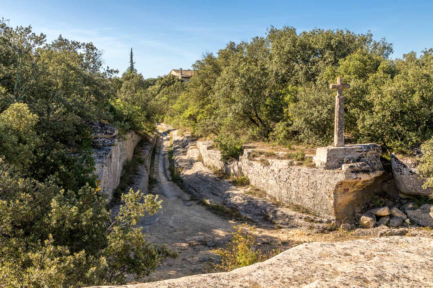
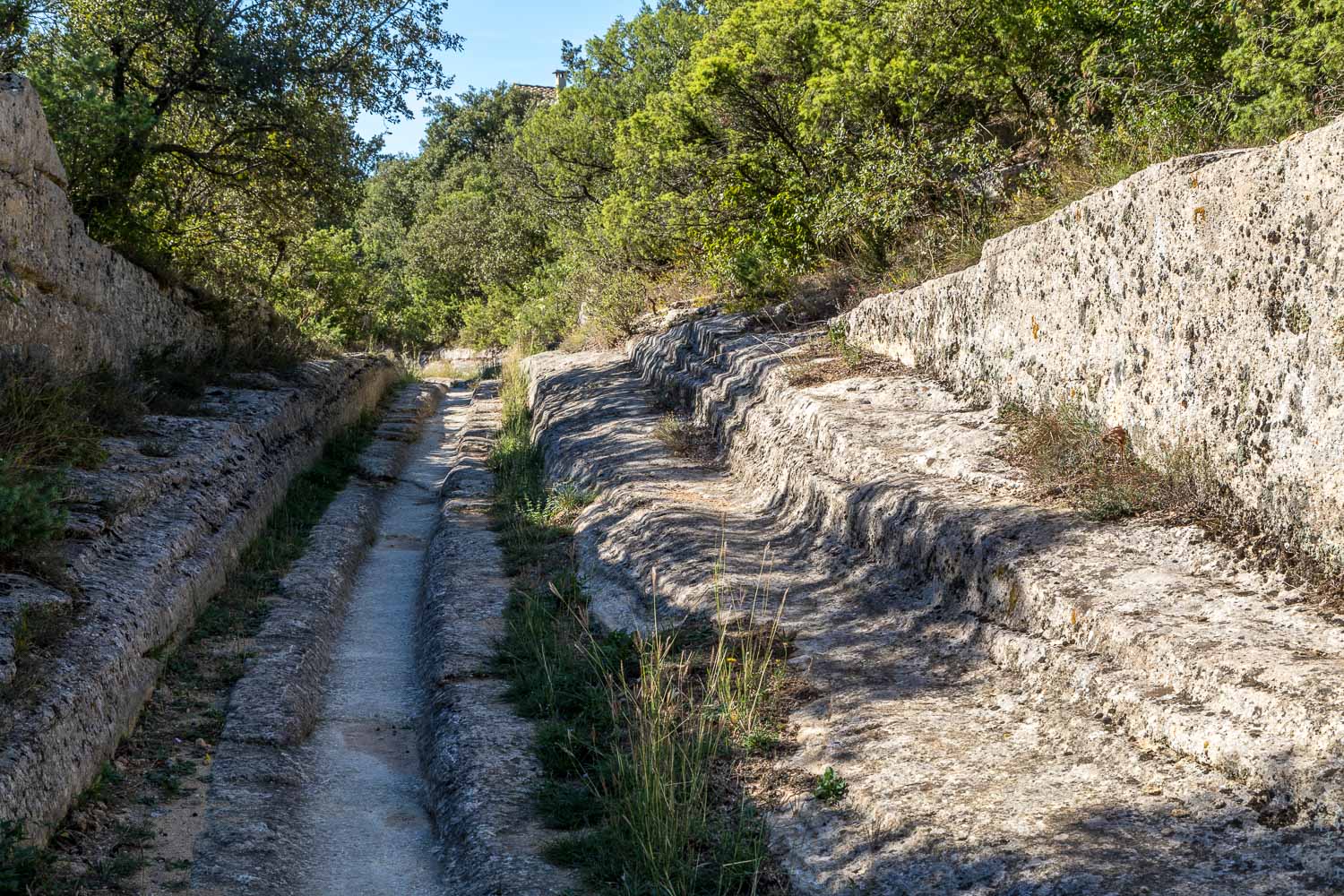
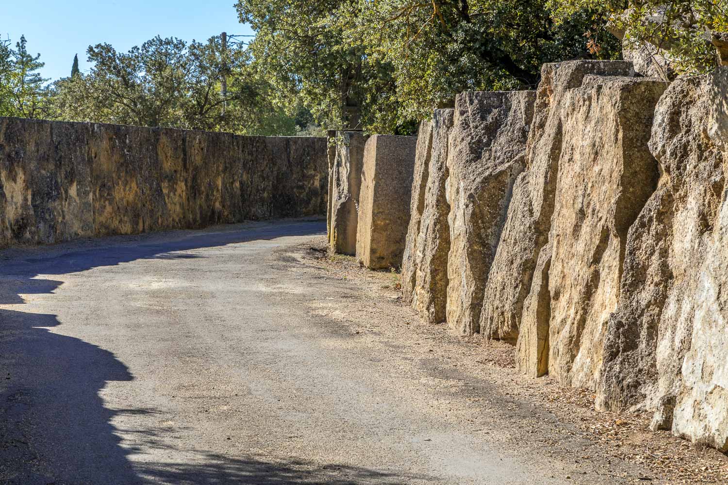
We arrive at the ancient stone quarries on the outskirts of the village, some of which have been in use from Roman times
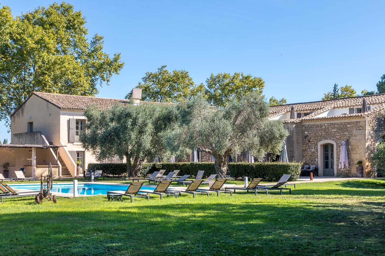
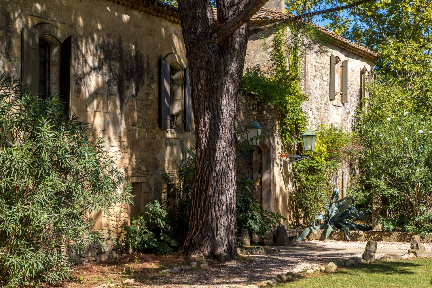
We check into the hotel - the word 'bégude' is specific to the area and is an old French word equivalent to a watering hole for travellers

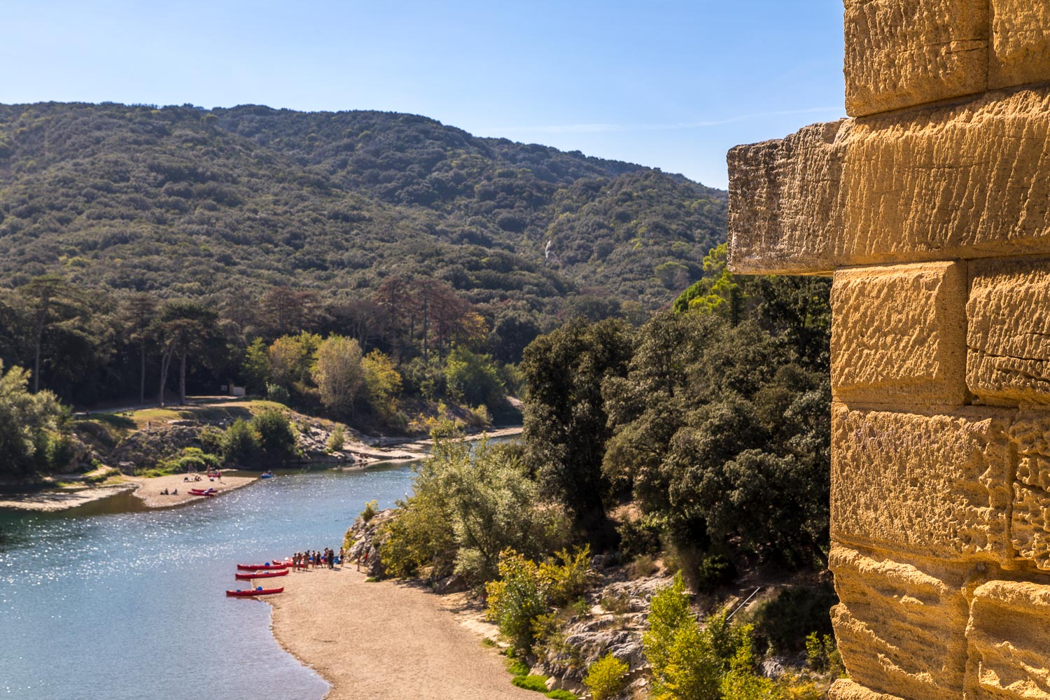
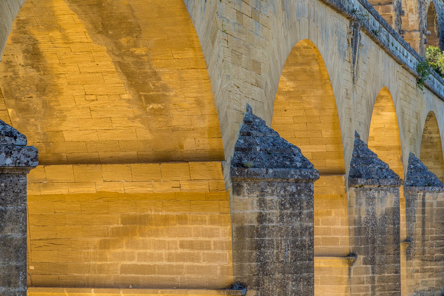
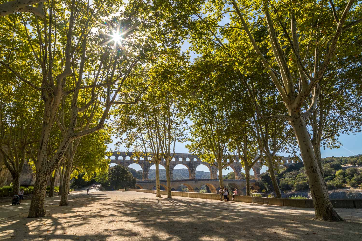
We arrive at the famous Pont du Gard, a masterpiece of Roman ingenuity which weighs in at 50,000 tons
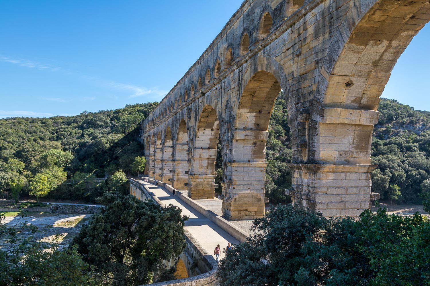
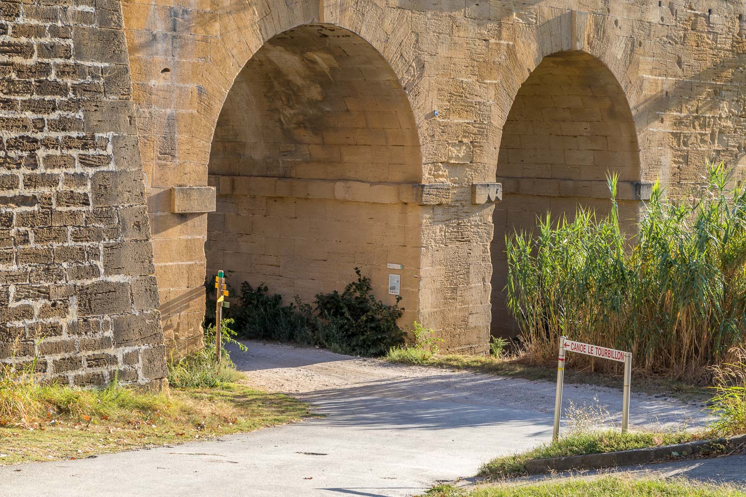
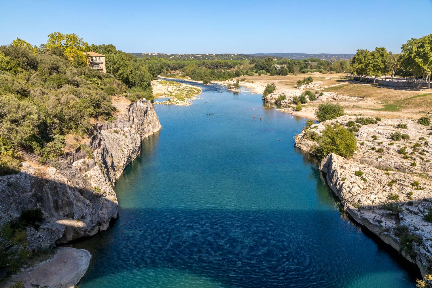
The section lower left is a road bridge which was added in the 18th century, and we cross over it in order to view the aqueduct from the other bank of the River Gardon...
