Route: Pike o’Blisco
Area: Southern Lake District
Date of walk: 21st March 2017
Walkers: Andrew
Distance: 5.7 miles
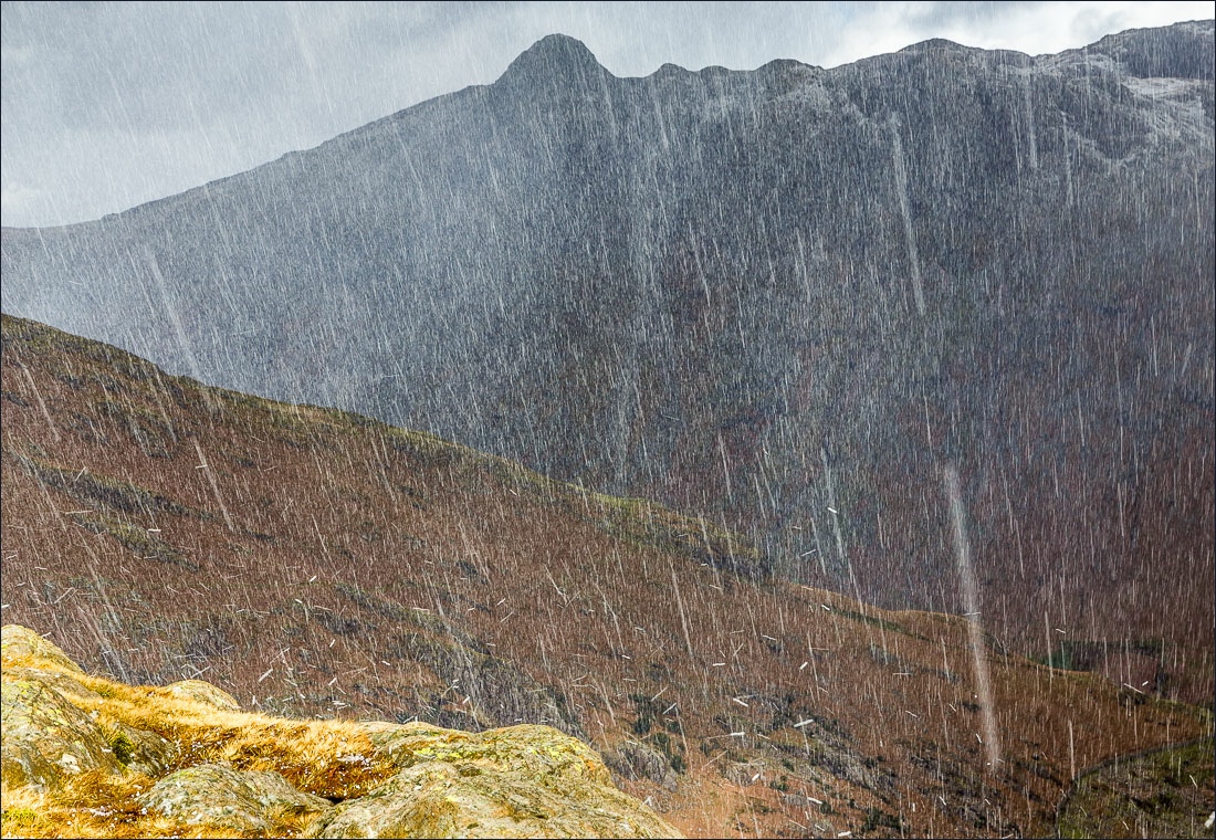
Weather: cloudy with sunny patches, very cold and windy, hailshowers
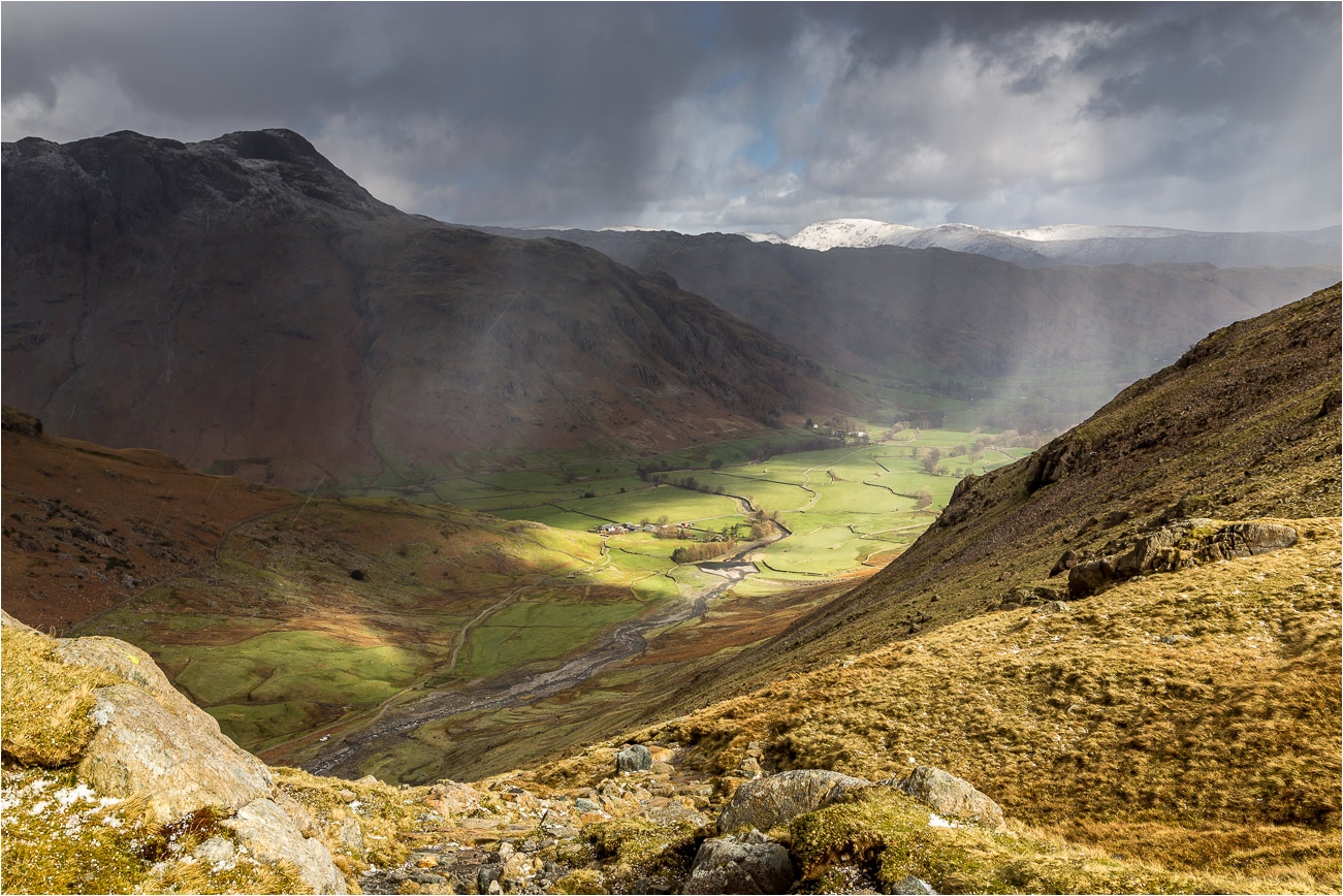
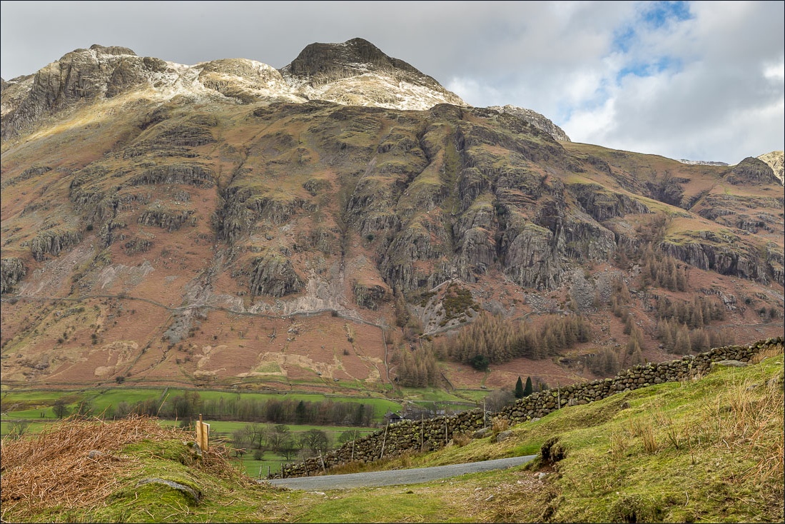
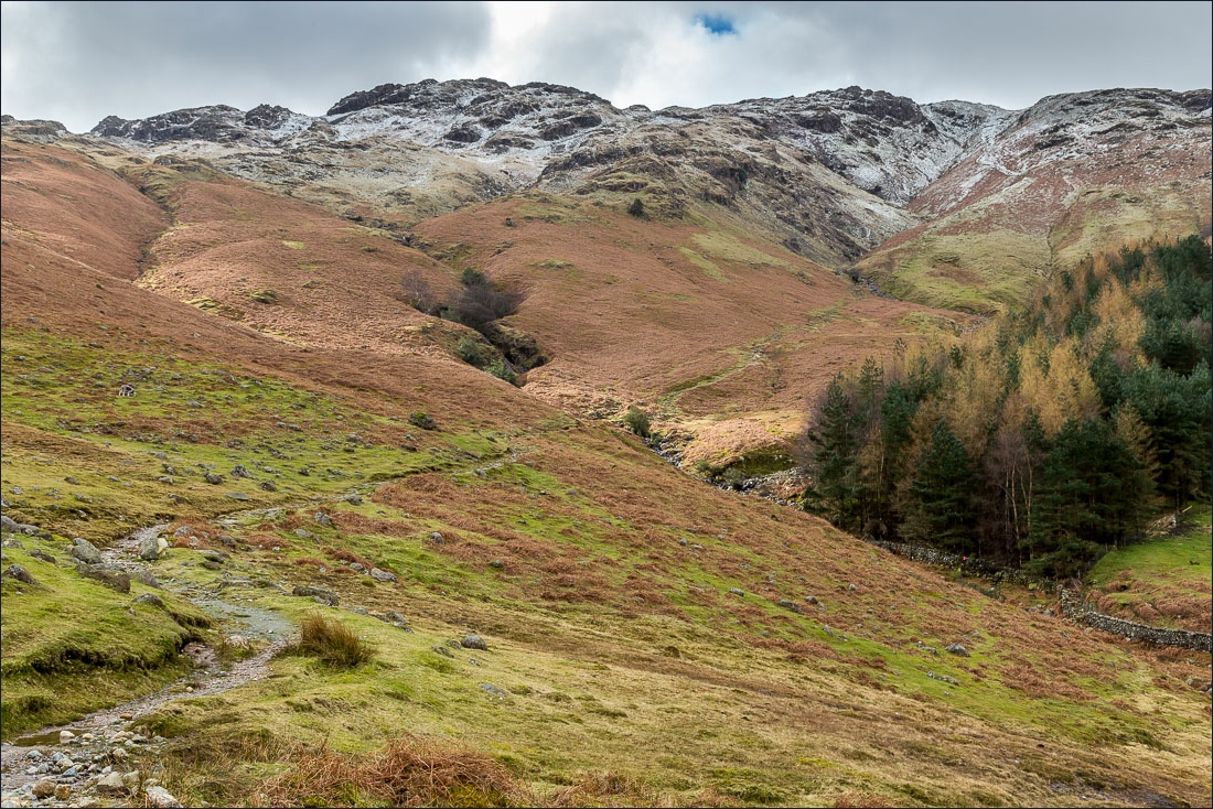
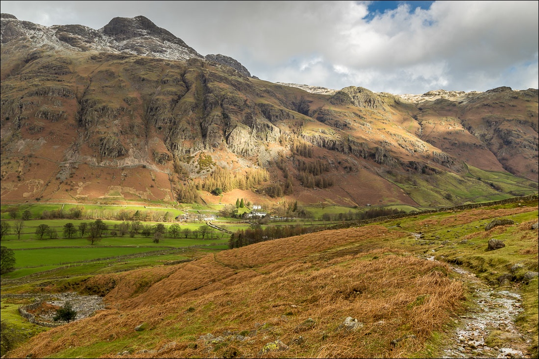
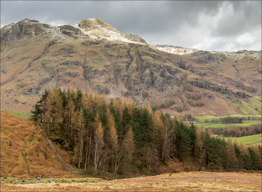
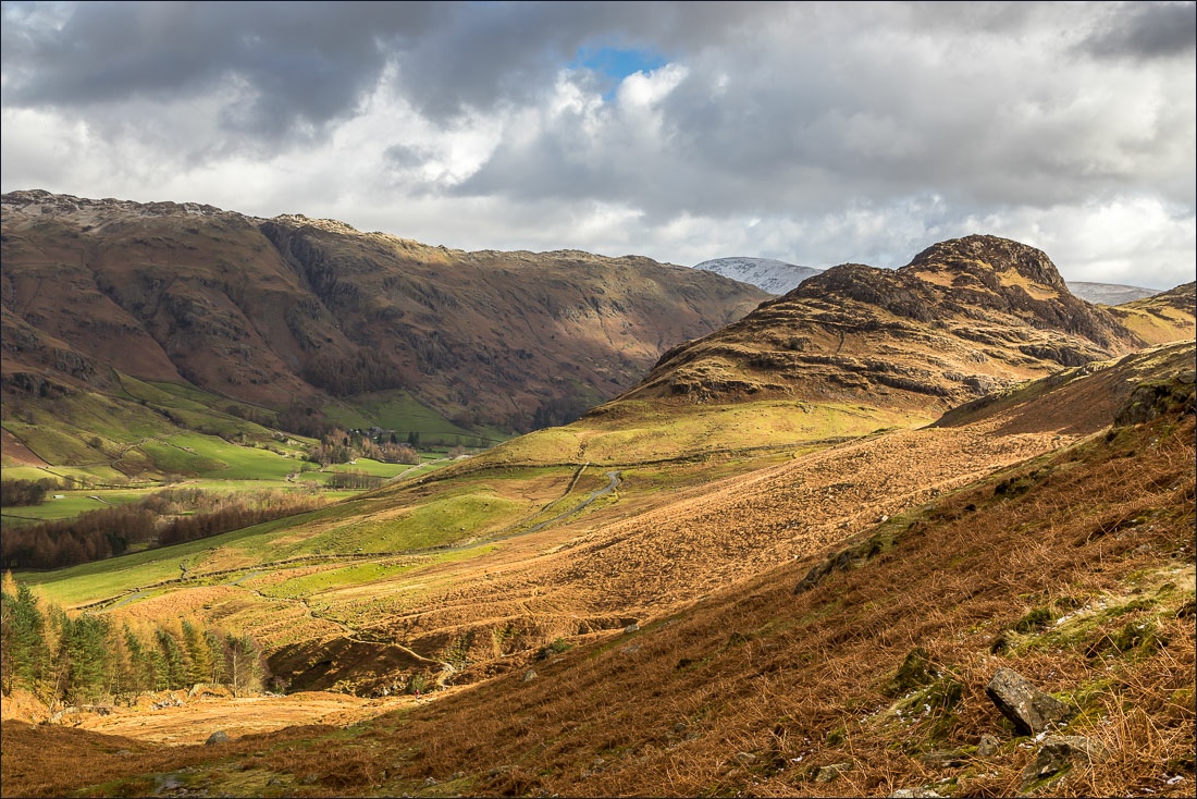
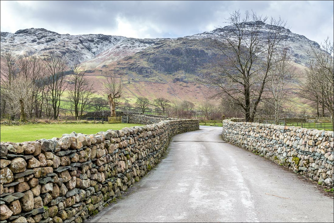
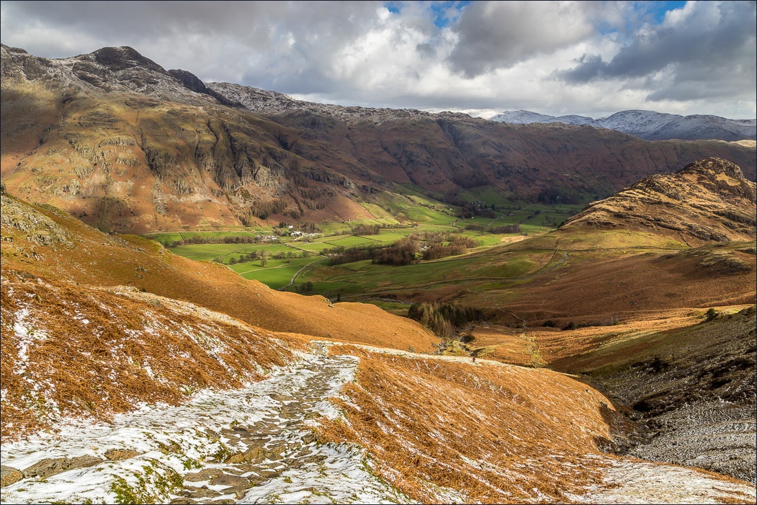
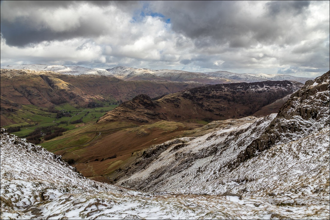
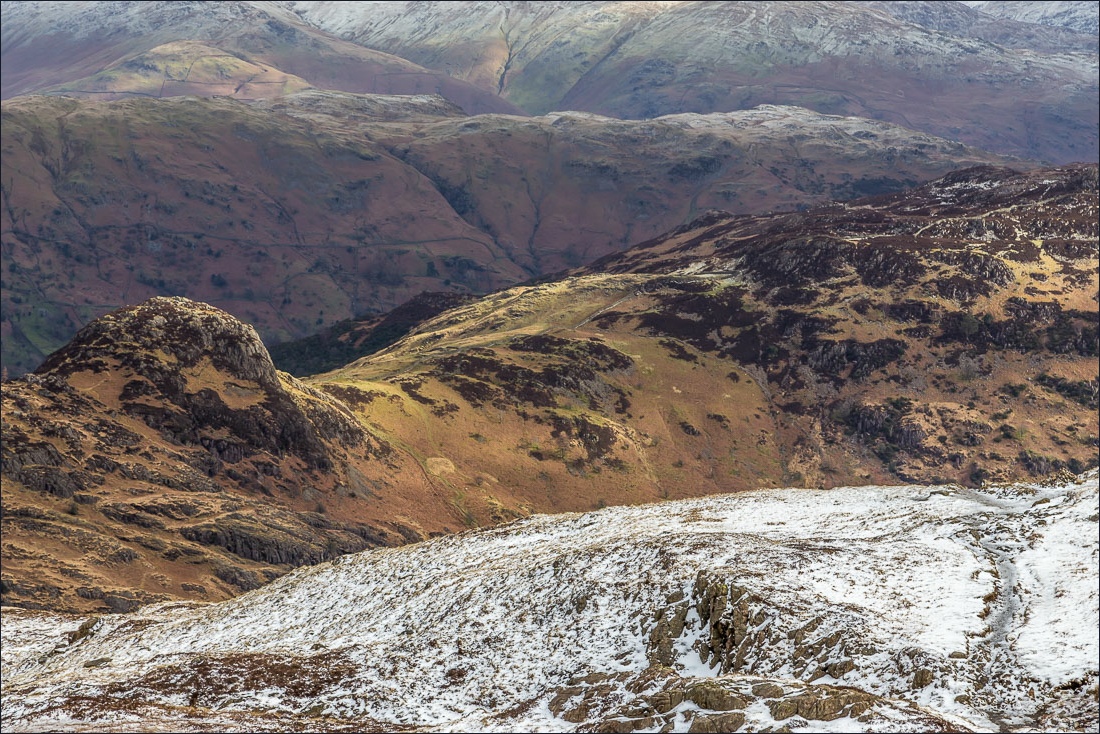
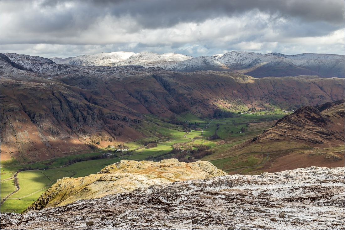
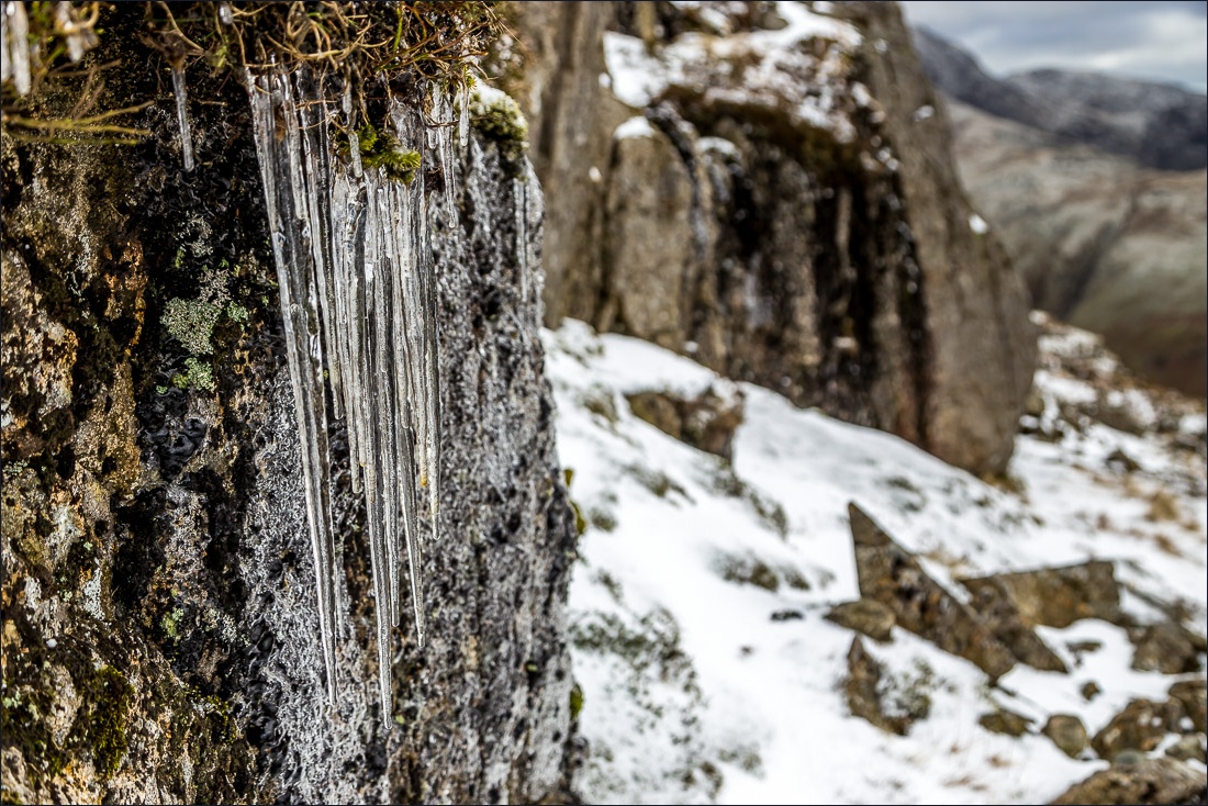
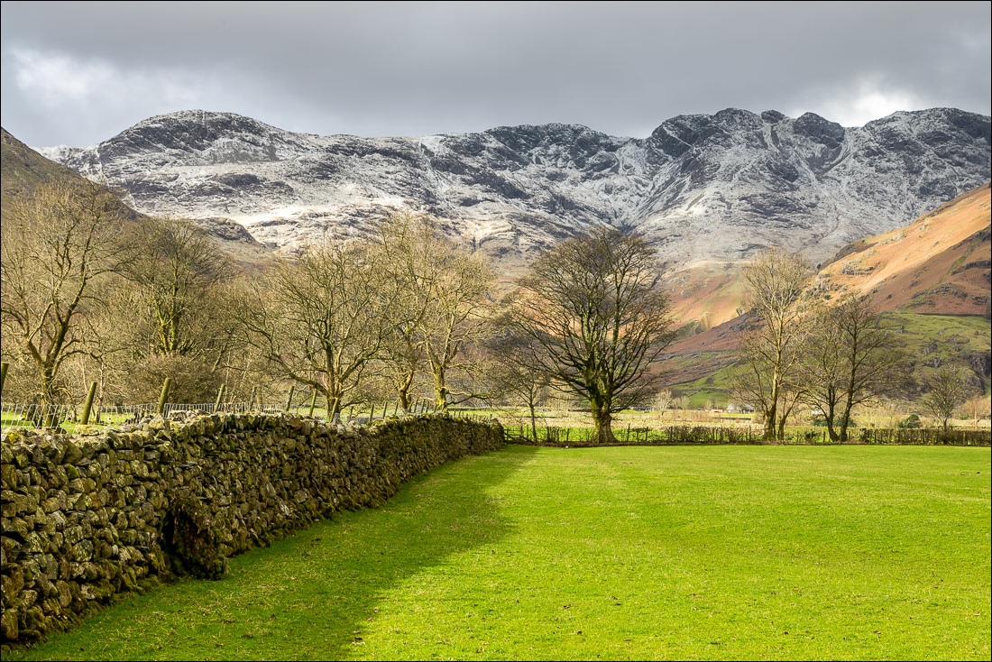
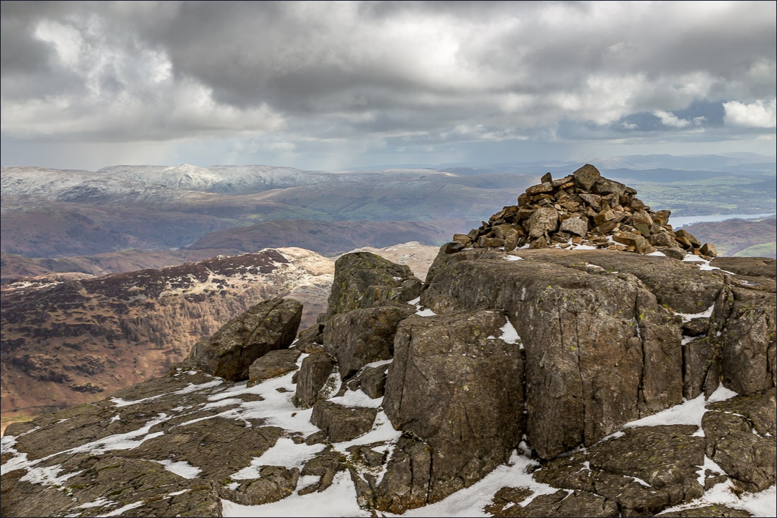
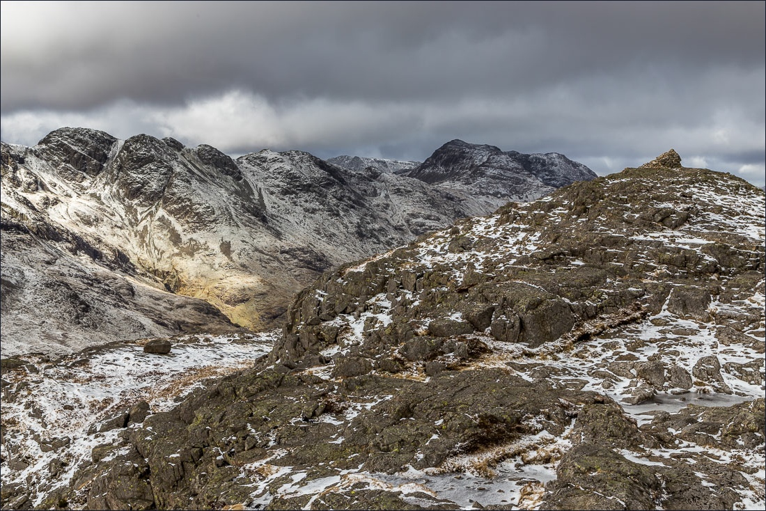
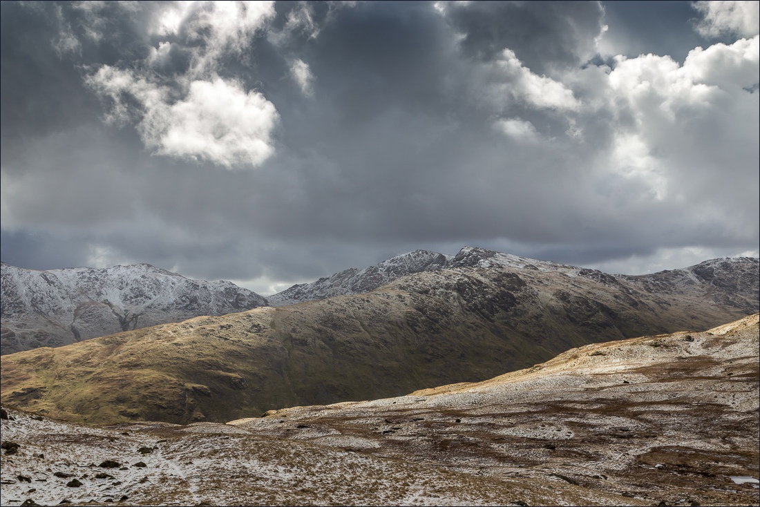
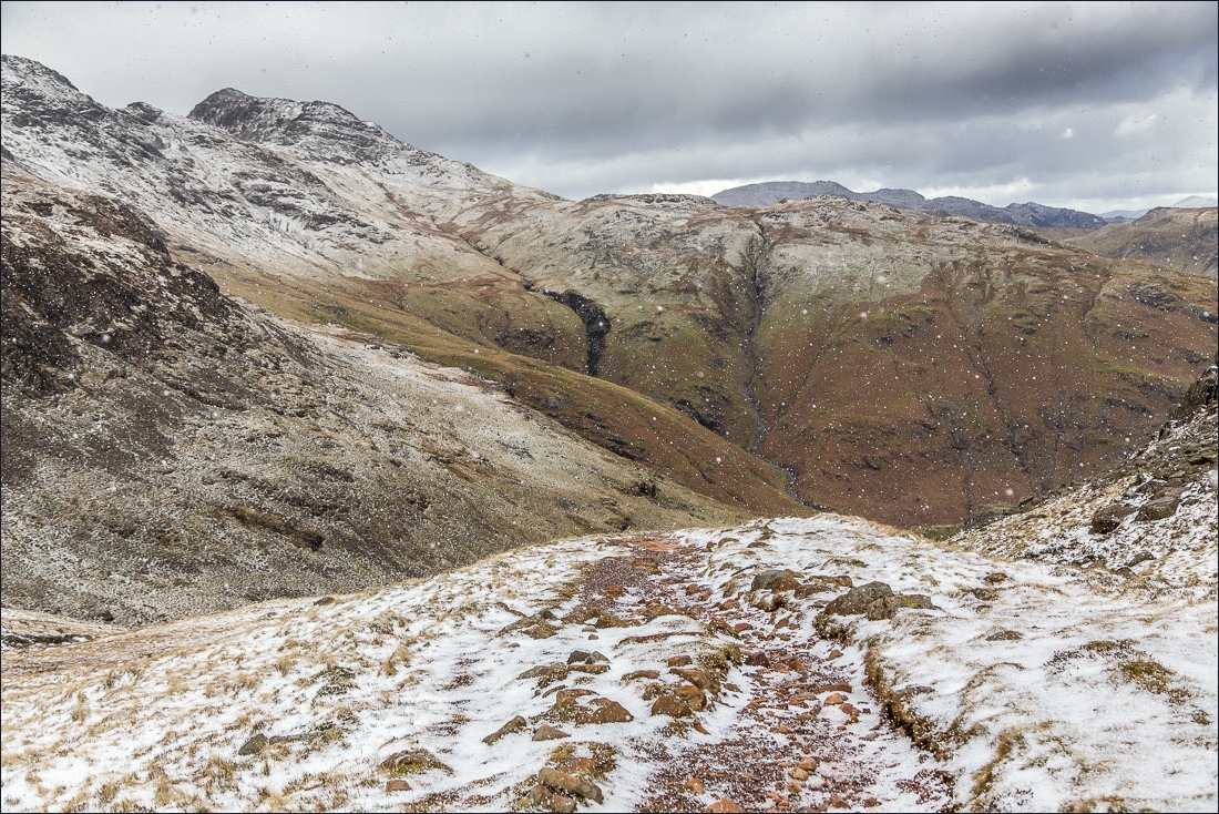
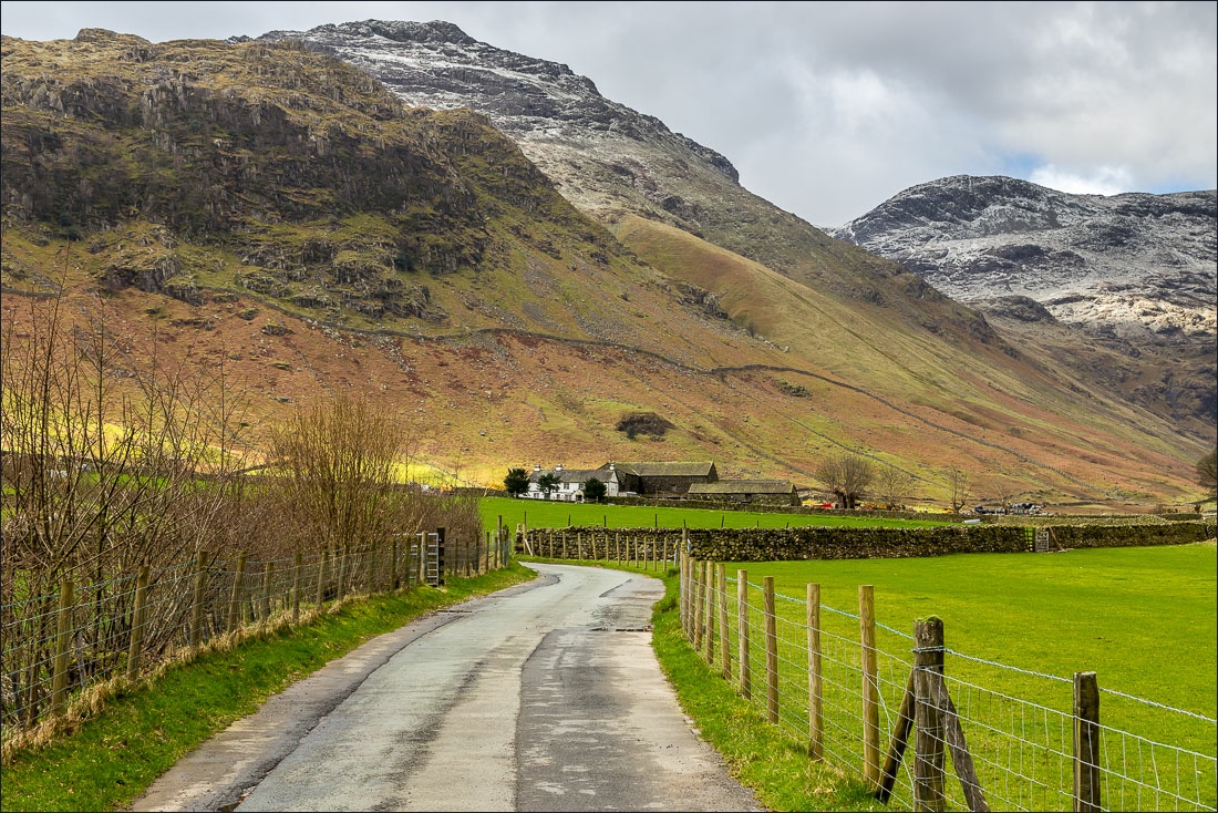
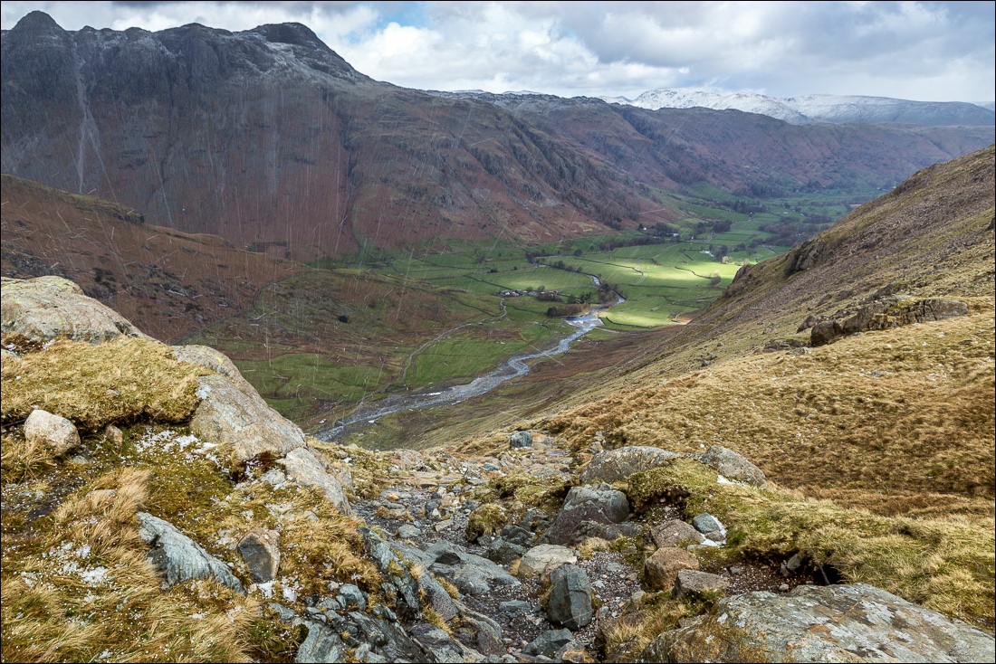
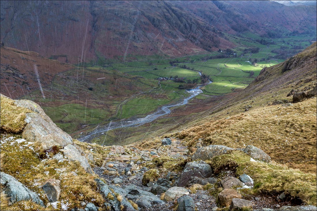
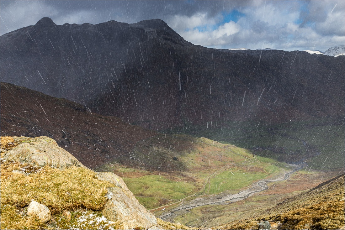
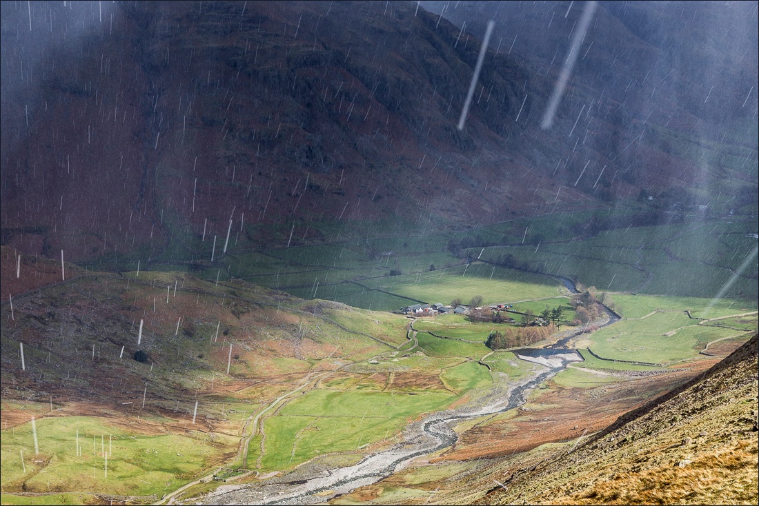
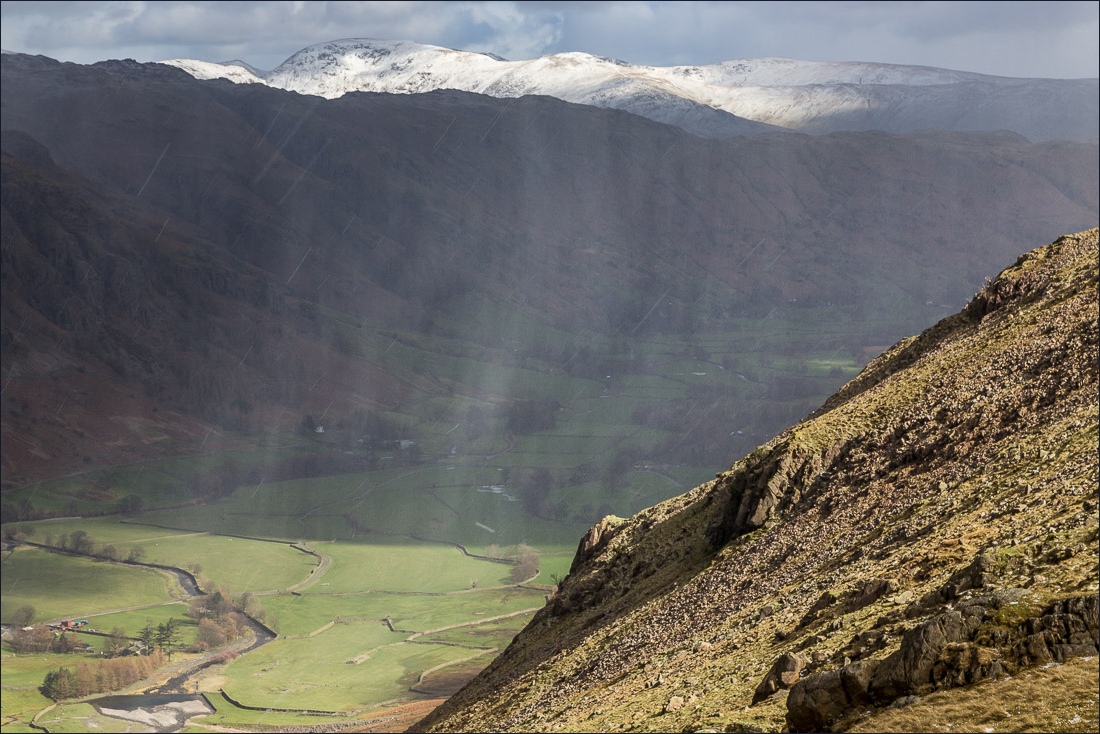
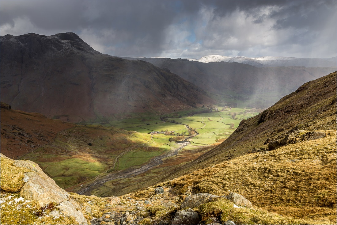
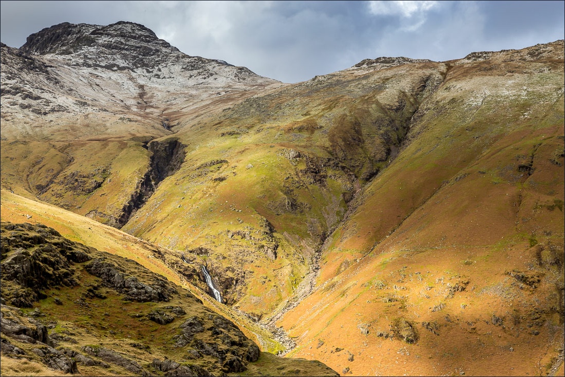
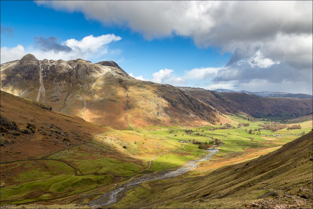
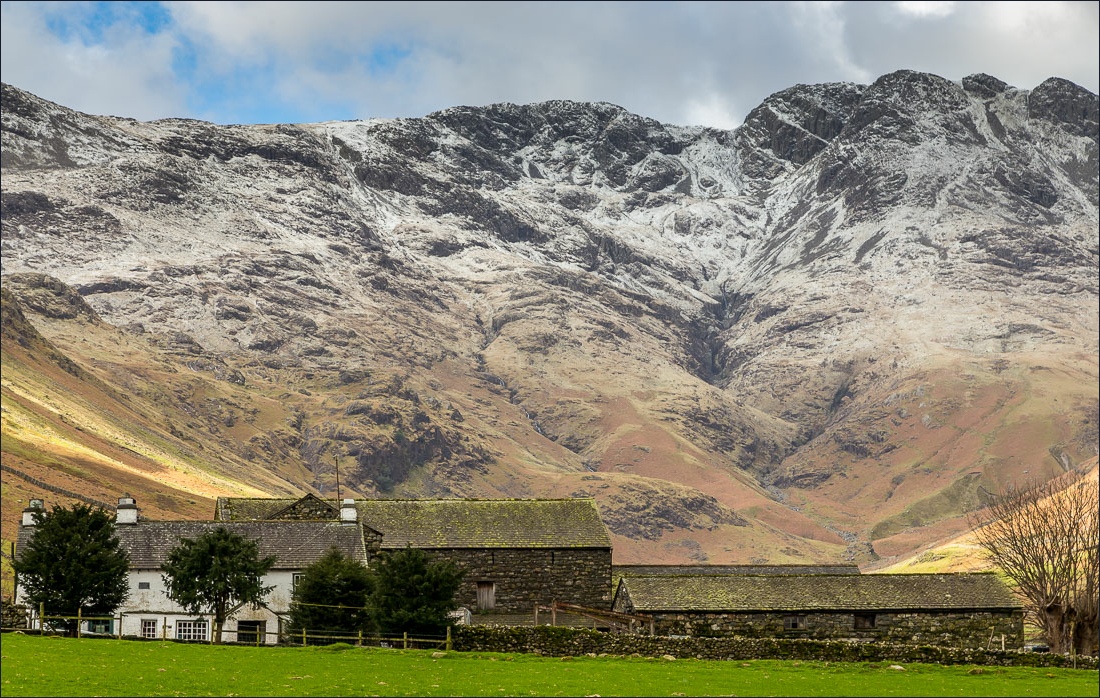
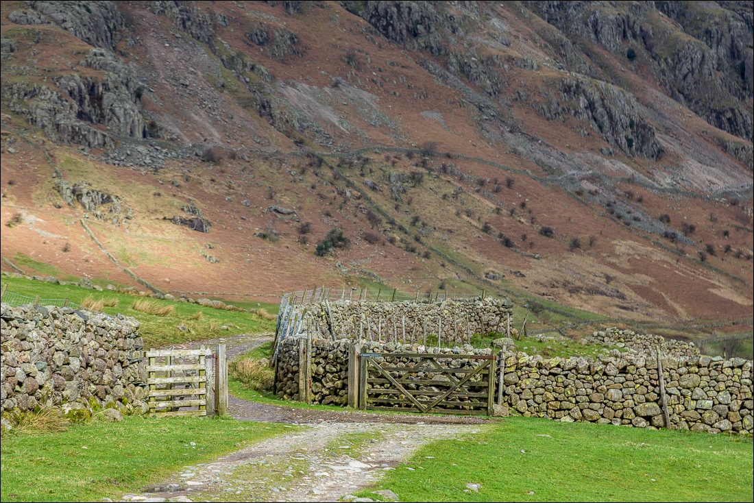
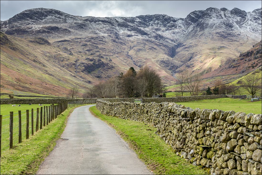
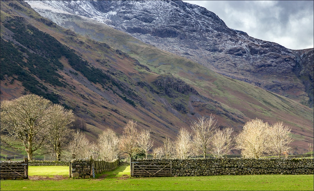
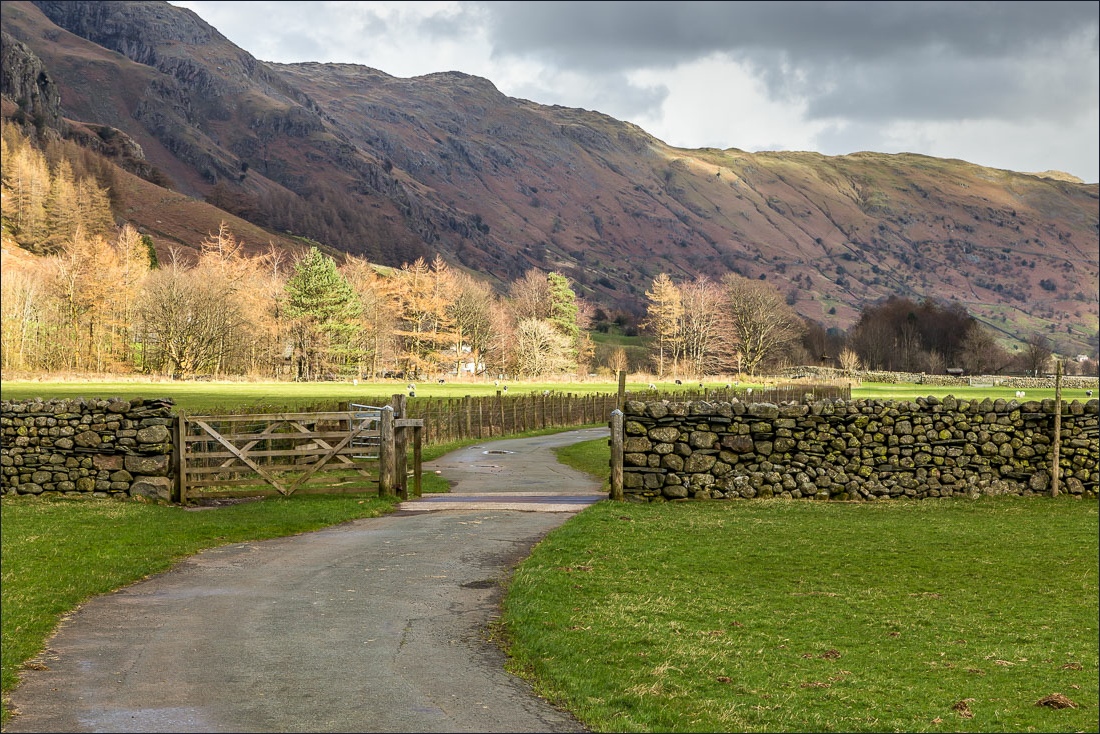
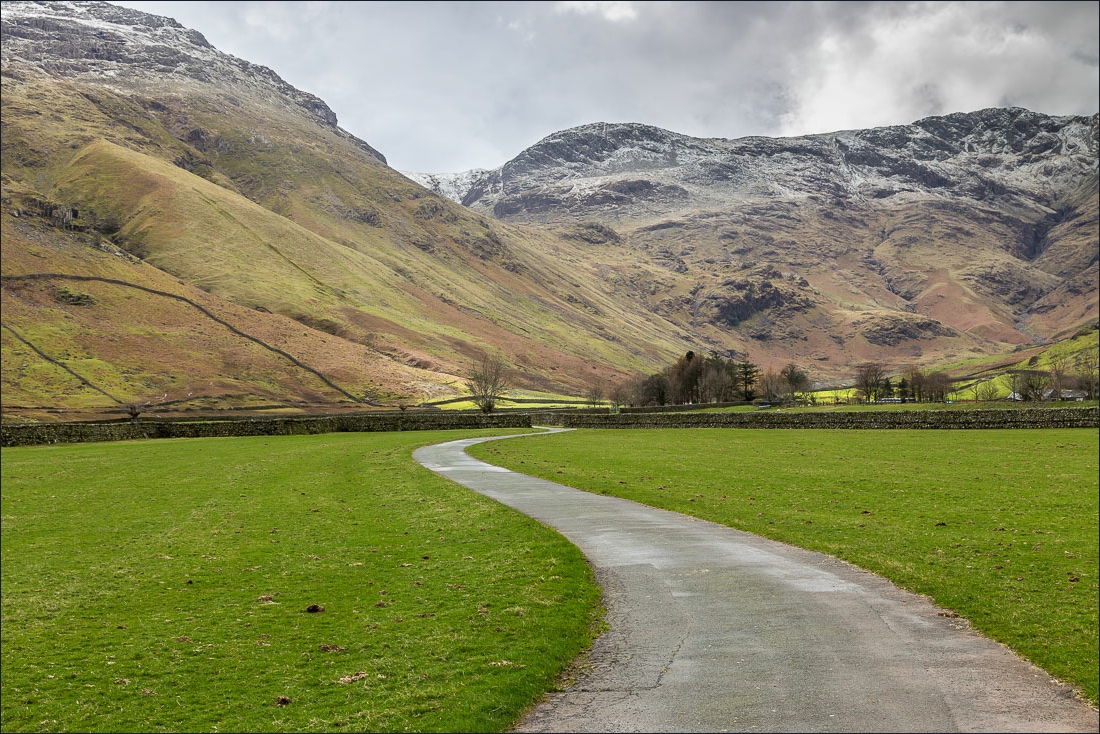
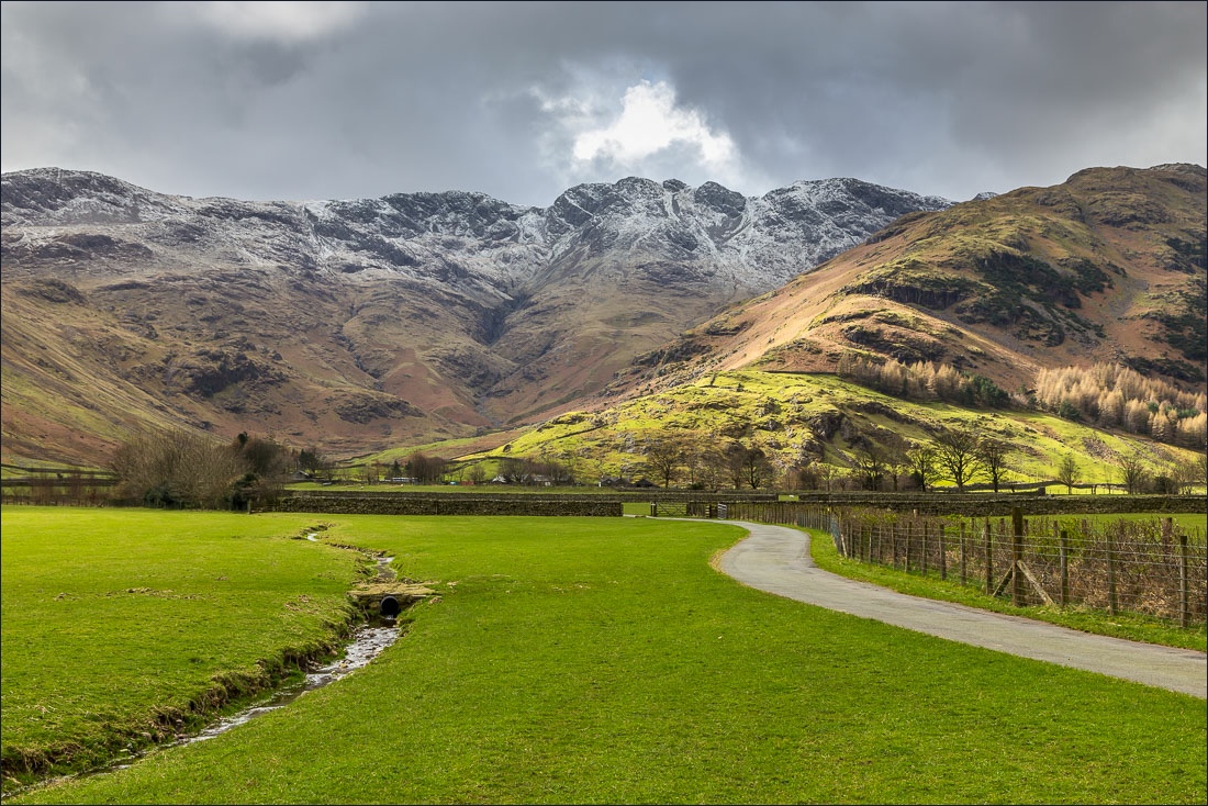
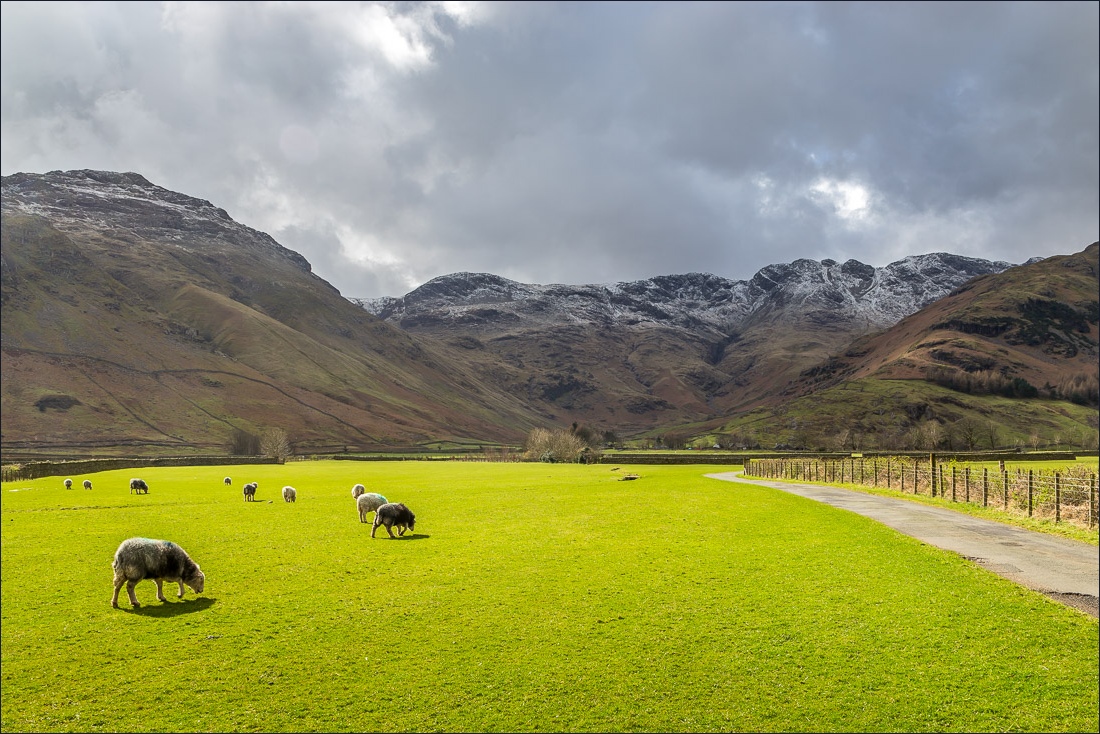
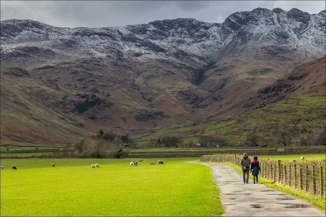
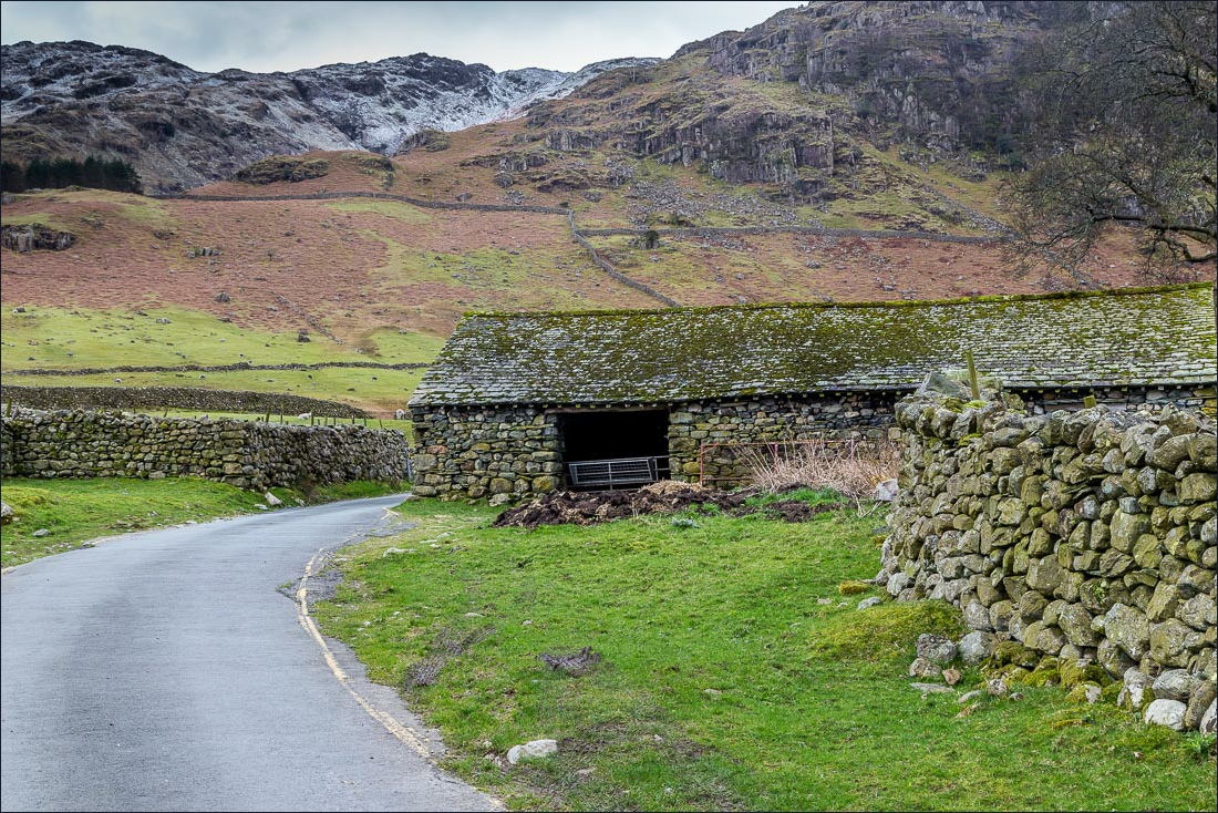
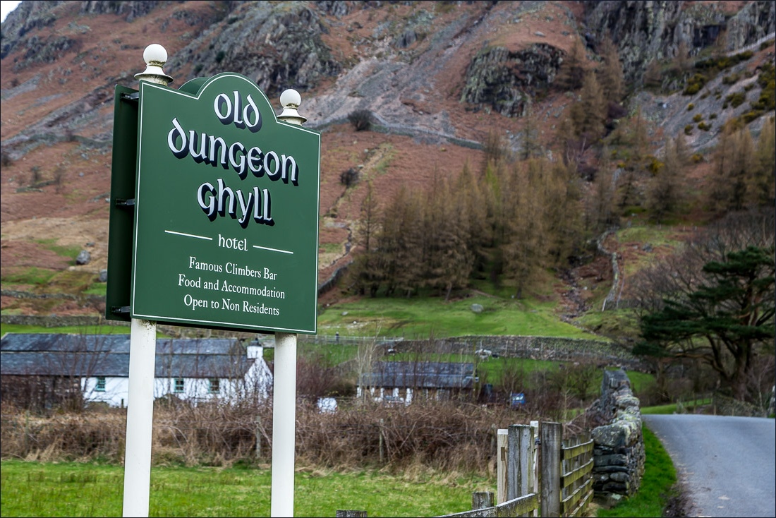
As I drove through Great Langdale the surrounding fells were looking at their best thanks to a dusting of snow on the higher tops. I couldn’t wait to get going. I parked in the National Trust car park at the Old Dungeon Ghyll Hotel and followed the narrow road uphill, leaving it shortly after passing by Wall End. The easy path bypasses Kettle Crag and as I gained height I was glad to have brought full winter gear – it was absolutely freezing
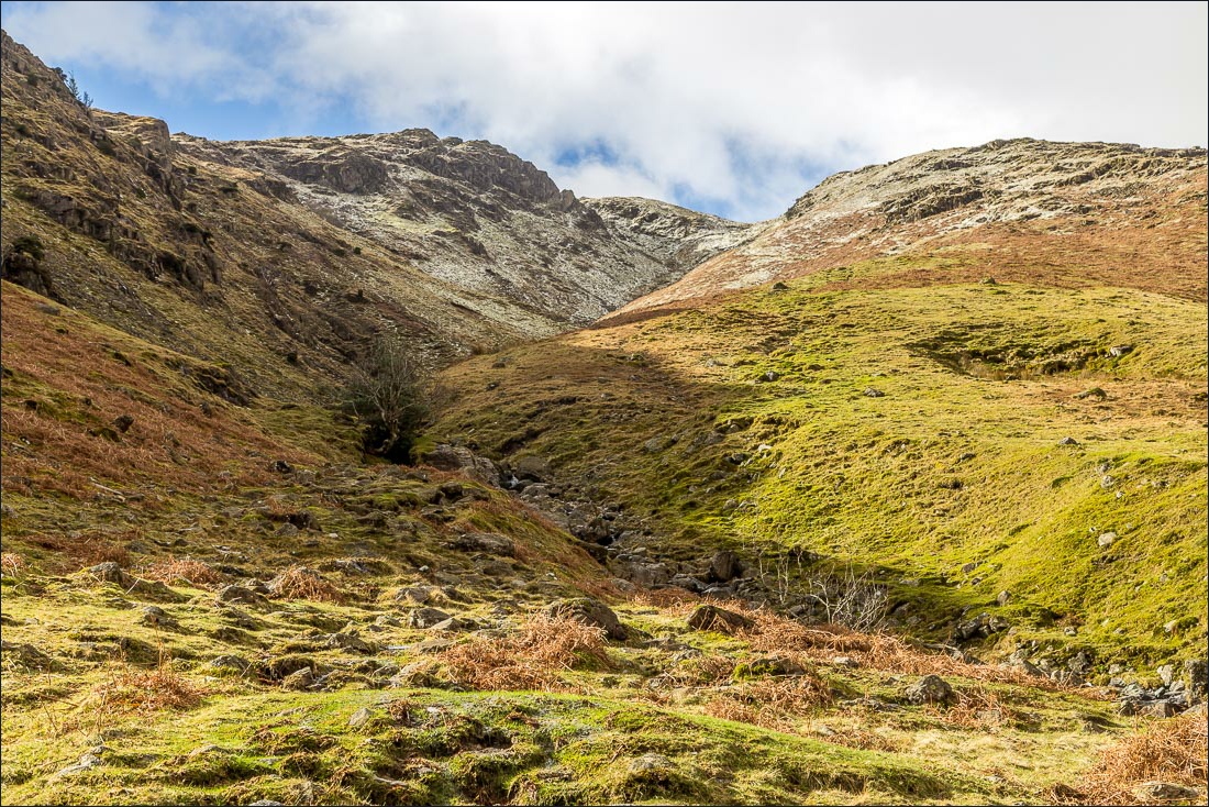
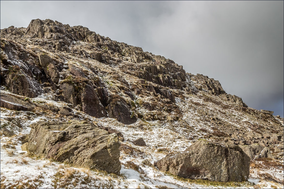
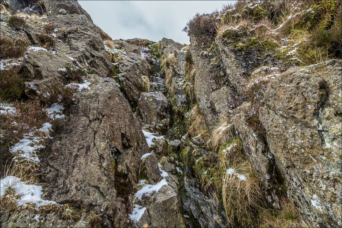
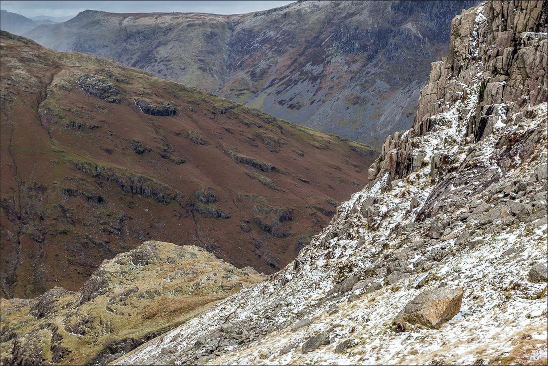
Near the top of Pike o’Blisco there are 3 steep scrambly sections where hands have to be used. This brought back happy memories of the last time I’d followed this route, about 20 years ago, with our children when they would have been about 8 and 10
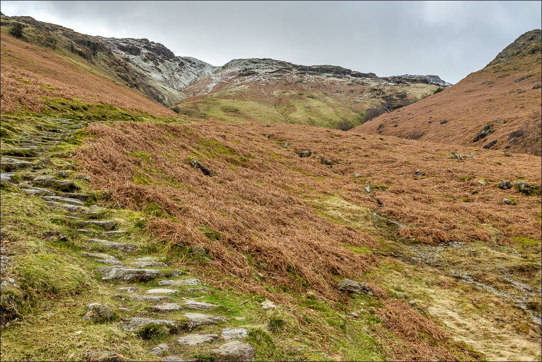
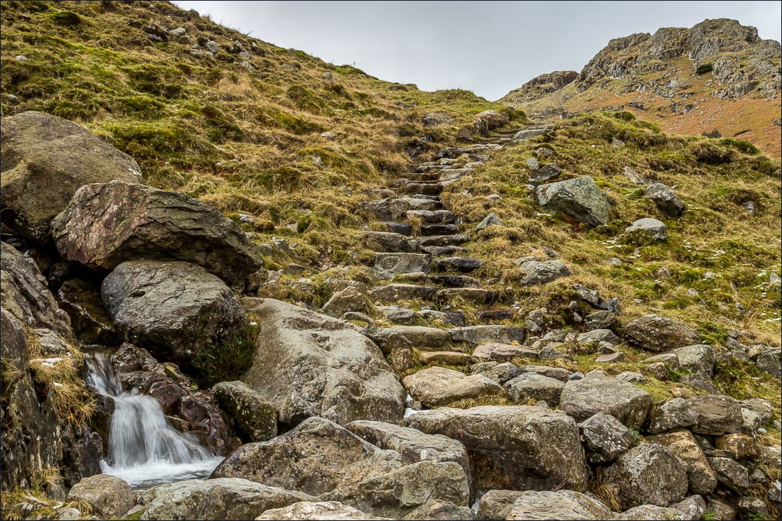
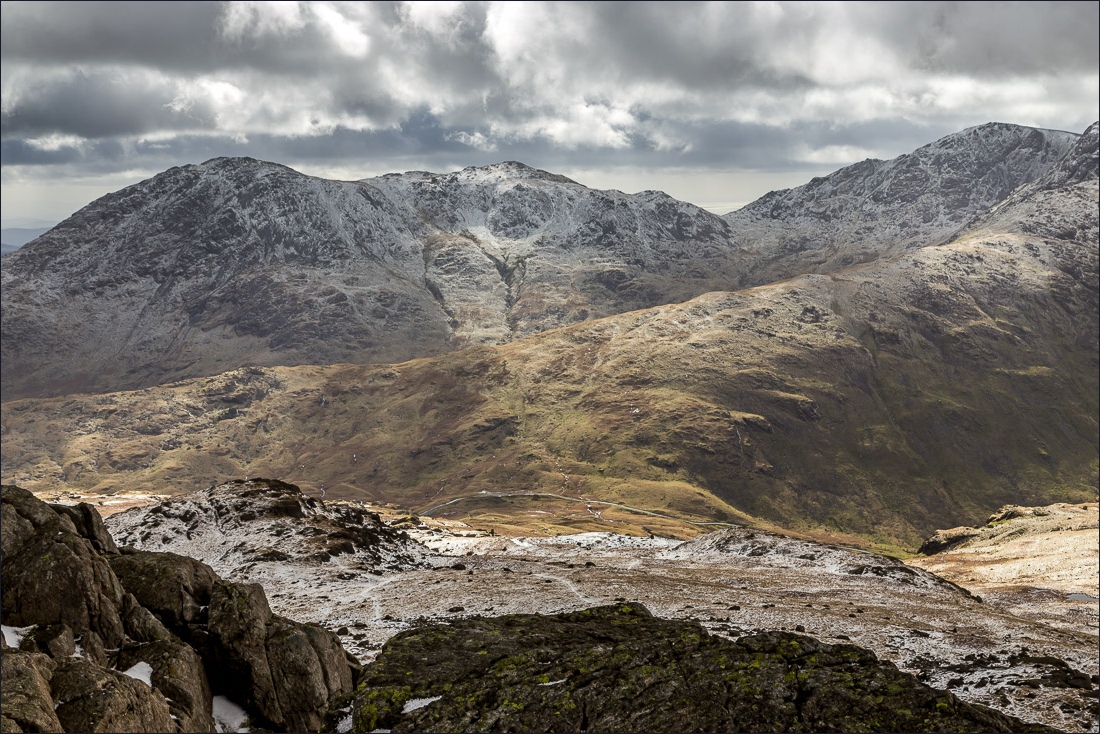
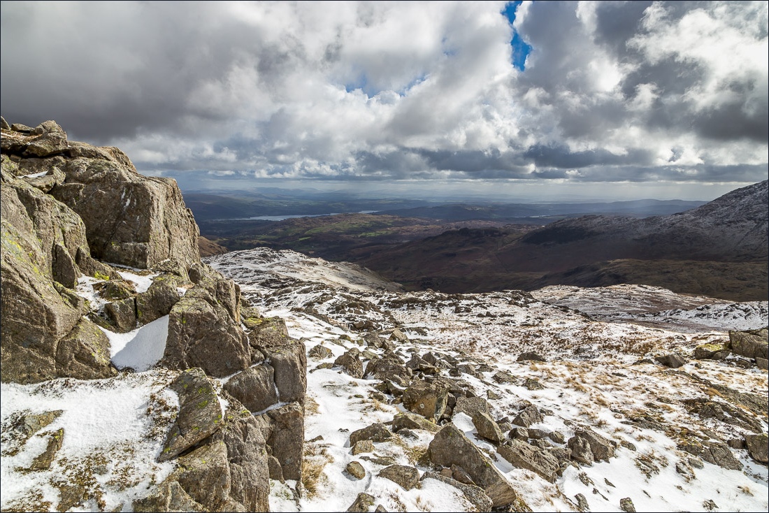
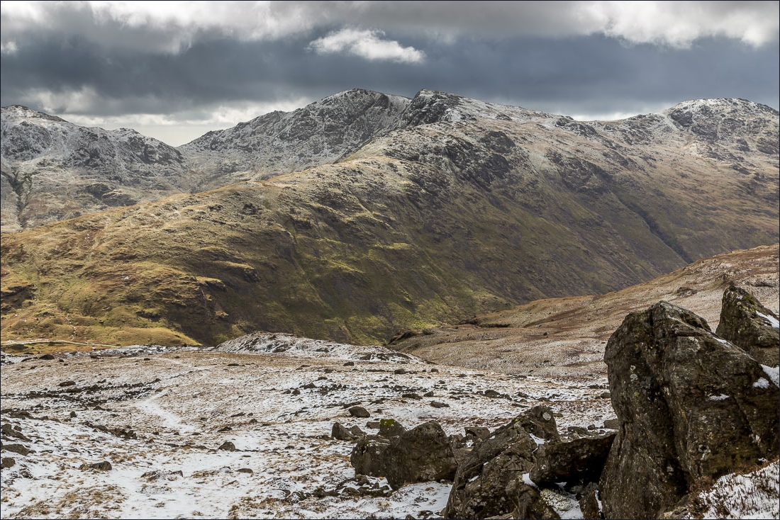
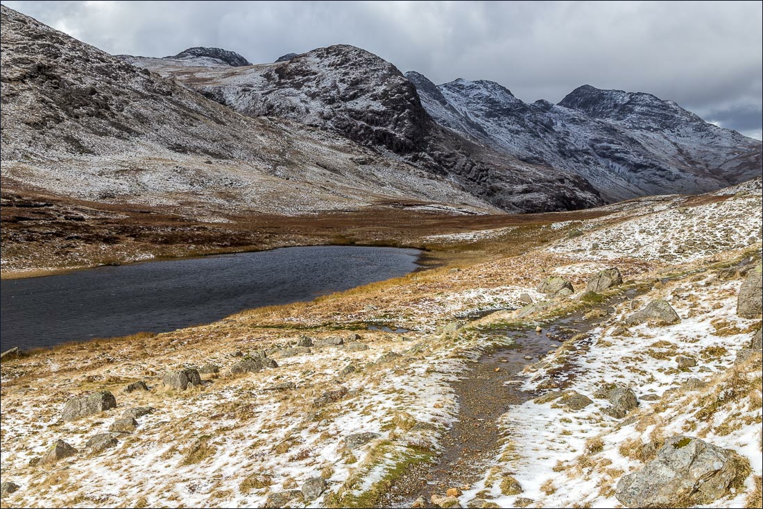
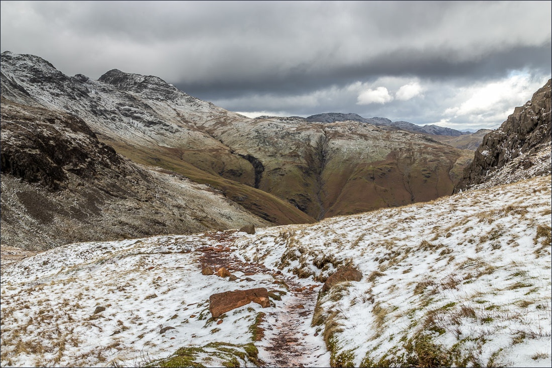
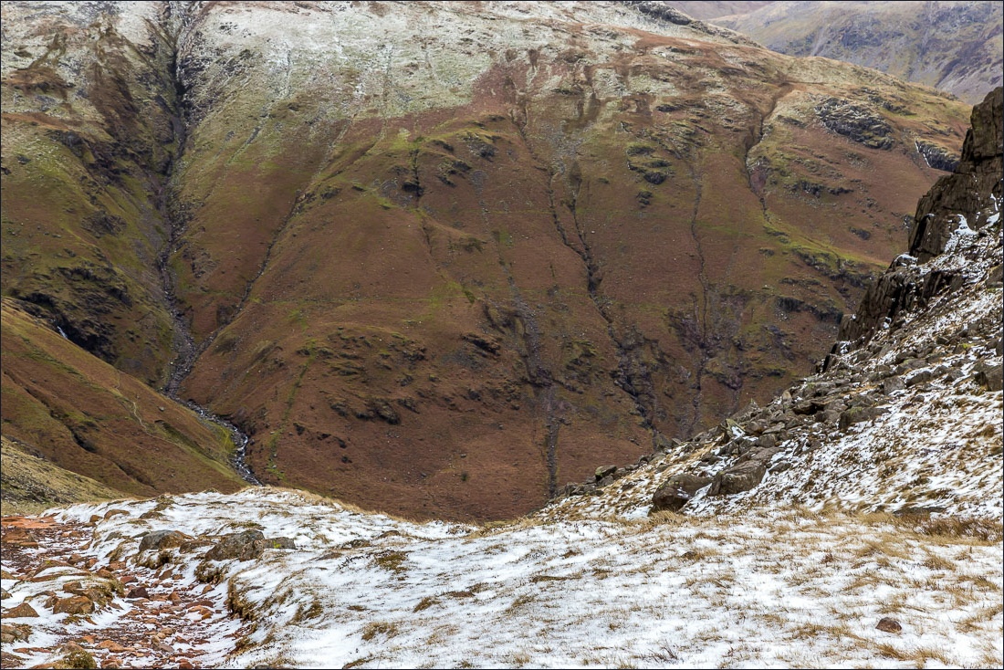
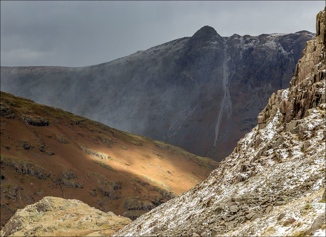
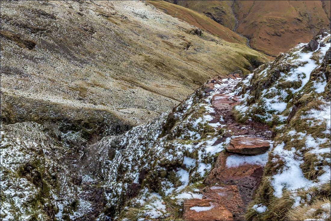
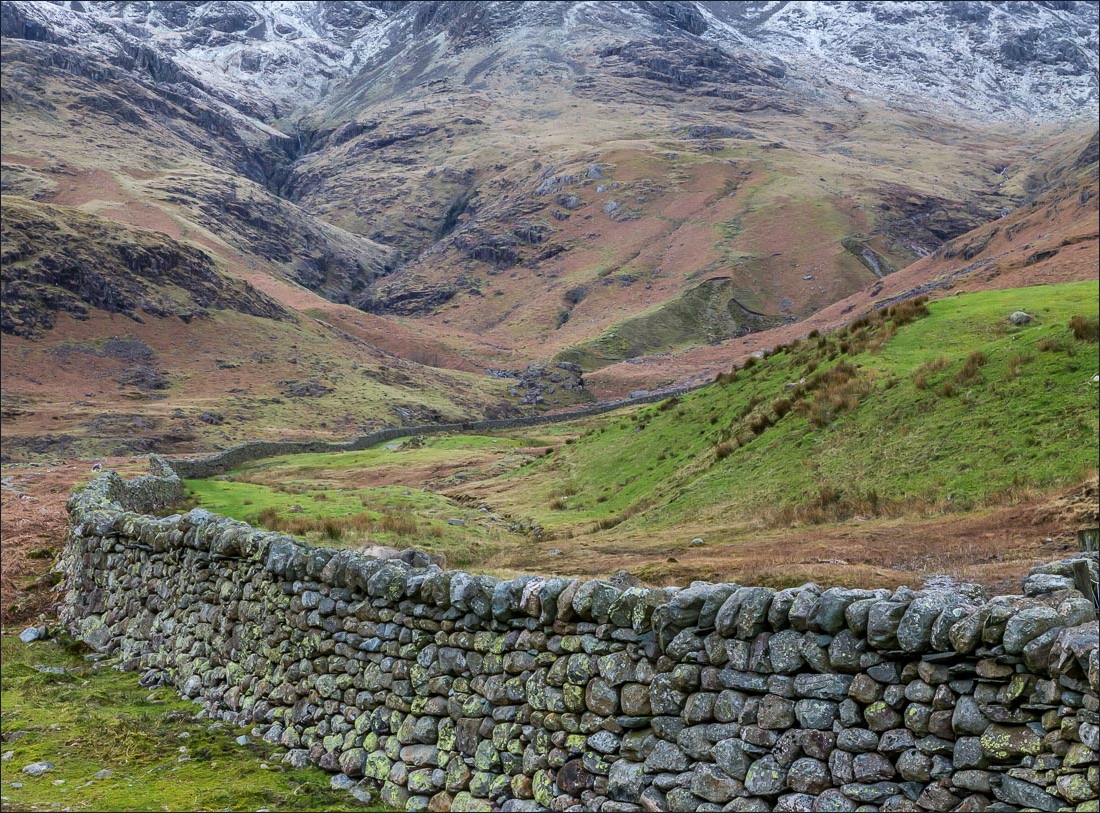
I didn’t linger at the summit as a gale force wind was doing its best to blow me off, and set a course towards Red Tarn. I probably wandered off the path a few times as I tried to avoid the slippery rocky sections. Once down at the tarn I picked up the path into Oxendale, which is steep at times but has been made easier by the addition of a pitched path
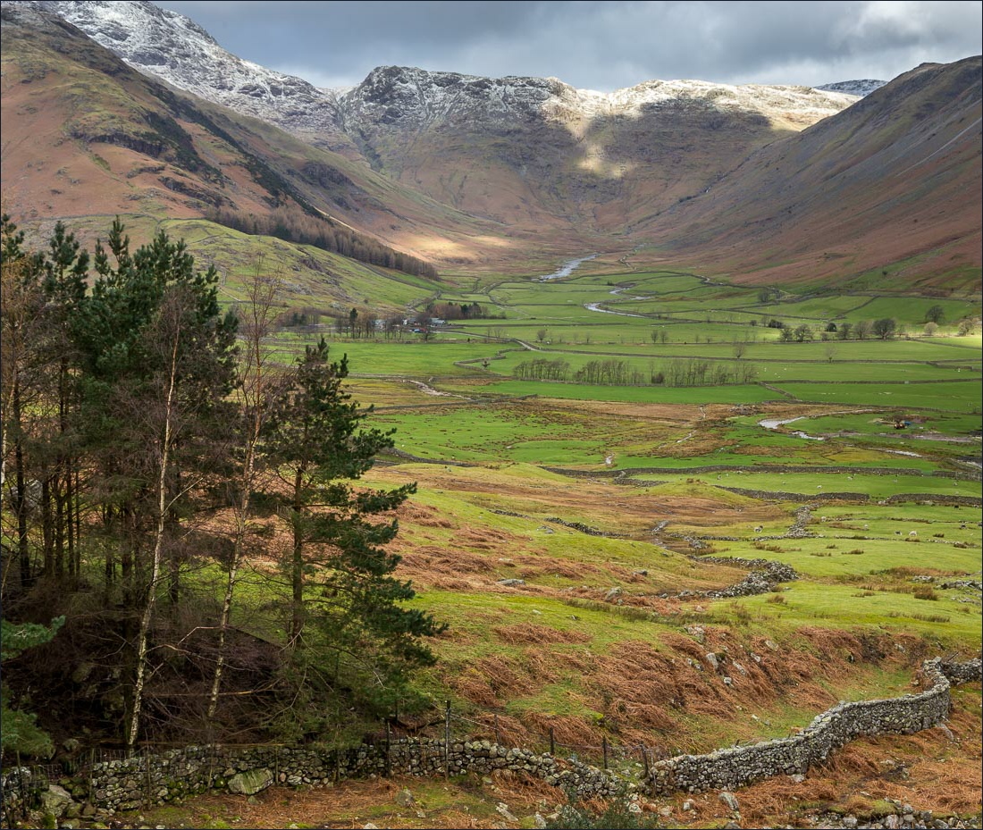
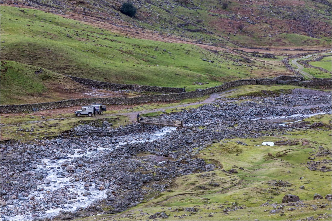
Back down at valley level I crossed the wooden footbridge over Oxendale Beck, which had been blown away in a gale recently and by good fortune was only re-opened today. From here it was a short stroll back to the start. Although the weather had been variable, and quite challenging at times, it showed off this beautiful valley in its best light and it was a privilege to have been fellwalking on such a day
For other walks here, visit my Find Walks page and enter the name in the ‘Search site’ box
Click on the icon below for the route map (subscribers to OS Maps can view detailed maps of the route, visualise it in aerial 3D, and download the GPX file. Non-subscribers will see a base map)
Scroll down – or click on any photo to enlarge it and you can then view as a slideshow
