Route: Pen-y-ghent
Area: Yorkshire Dales
Date of walk: 19th December 2013
Walkers: Andrew
Distance: 7.2 miles
Ascent: 1,500 feet
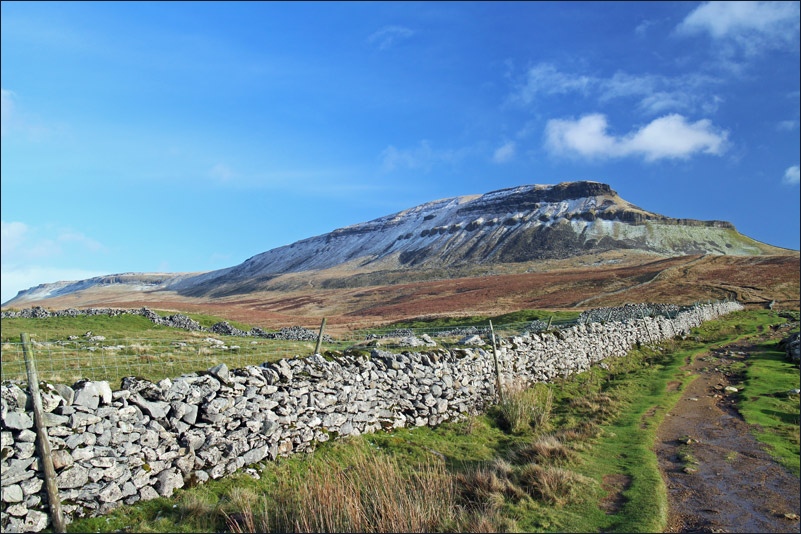
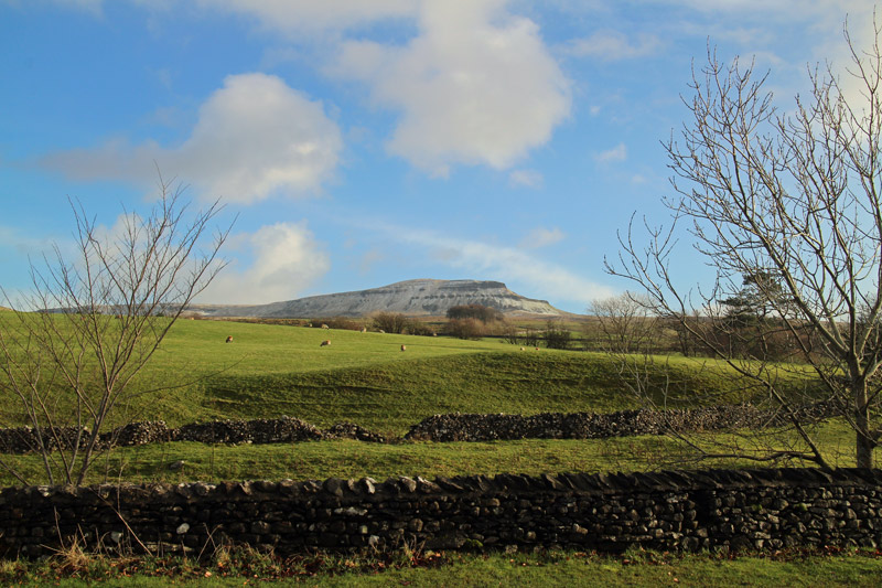
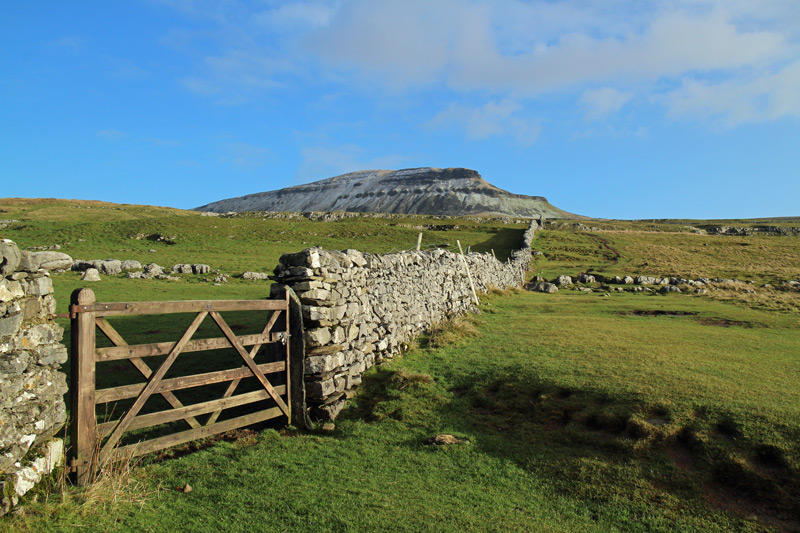
Pen-y-ghent is one of the three giants of the Yorkshire Dales. I’d been up here a few years ago as part of the Three Peaks Challenge but on that occasion I was focussed on completing the round rather than sightseeing, so now was the time to enjoy the surroundings properly
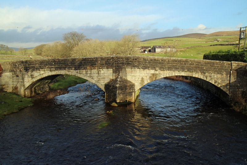
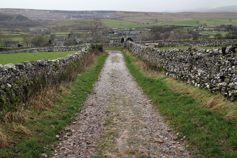
I parked in Horton in Ribblesdale and walked out of the village towards Brackenbottom, taking the classic route up the fell
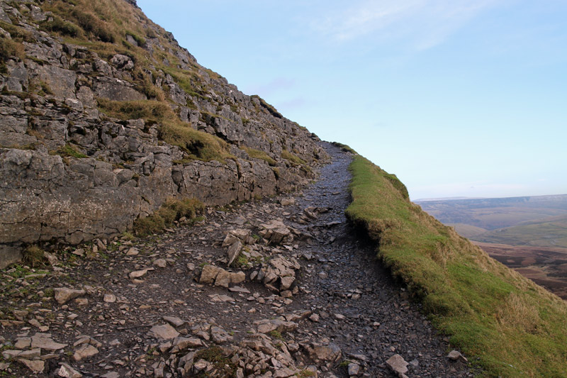
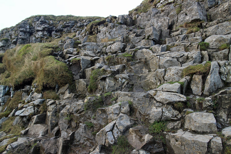
The sun was shining and I had a spring in my step as I viewed the way ahead. It was easy going all the way, though hands were needed for a few of the final sections up the steep limestone edges
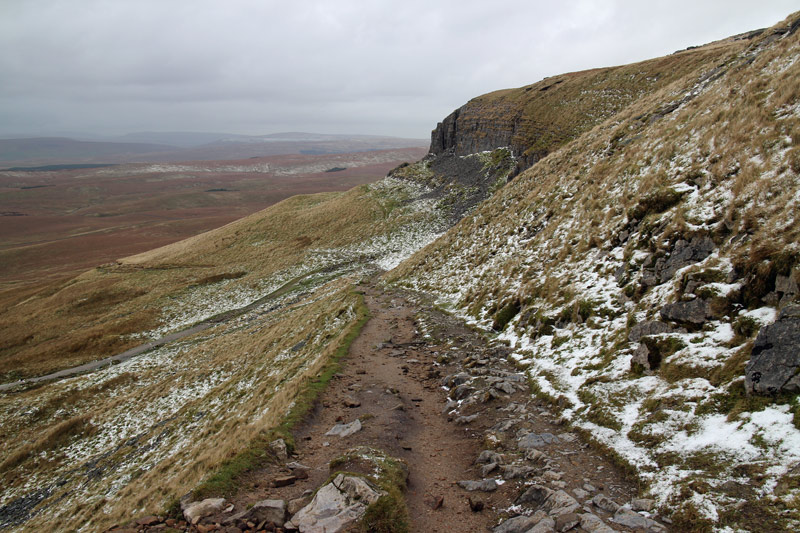
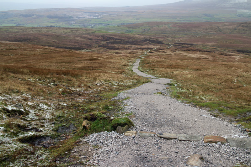
I could see some weather approaching and it was a shame that by the time I reached the top it had clouded over. The way down was easy, so easy that I jogged much of the way with gravity doing all the hard work
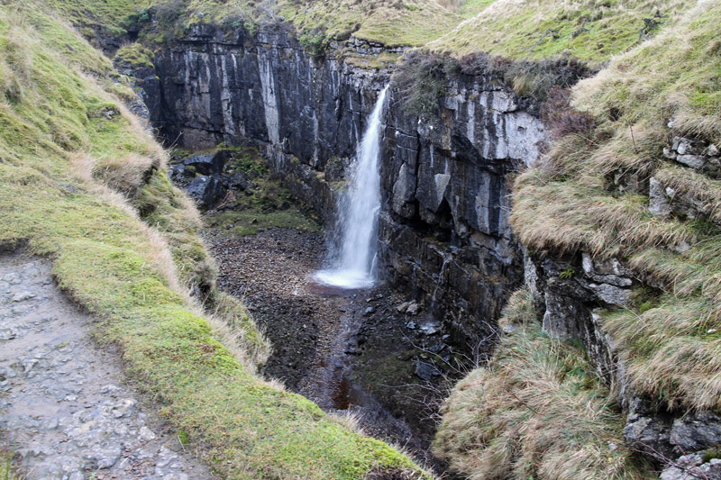
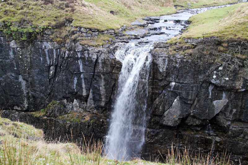
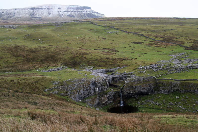
I took a minor diversion to see the spectacular feature of Hull Pot, well worth the detour. I’d timed the walk well, by chance, as rain and sleet started to fall towards the end but this didn’t spoil what had been a great walk
Click on the icon below for the route map (subscribers to OS Maps can view detailed maps of the route, visualise it in aerial 3D, and download the GPX file. Non-subscribers will see a base map)
Scroll down – or click on any photo to enlarge it and you can then view as a slideshow
