Route: North Cliffe Wood
Area: East Yorkshire
Date of walk: 7th May 2021
Walkers: Andrew
Distance: 1.2 miles
Weather: Mixed sunshine and clouds
North Cliffe Wood Nature Reserve is managed by the Yorkshire Wildlife Trust. It occupies a flat area on the eastern side of the Vale of York, and has a variety of habitats, including mixed broadleaf woodland, reedbed, and areas of lowland heath
The is interest here all year round, the seasonal highlights being
- Spring: Plants – Bluebell; Greater stitchwort; Primrose; Reptiles – Grass snake; Birds – Chiffchaff
- Summer: Plants – Cotton grass; Birds – Garden Warbler; Blackcap; Invertebrates – Speckled wood
- Autumn: Mammals – Fallow deer; Red deer
- Winter: Birds – Great-spotted woodpecker; Marsh tit; Nuthatch
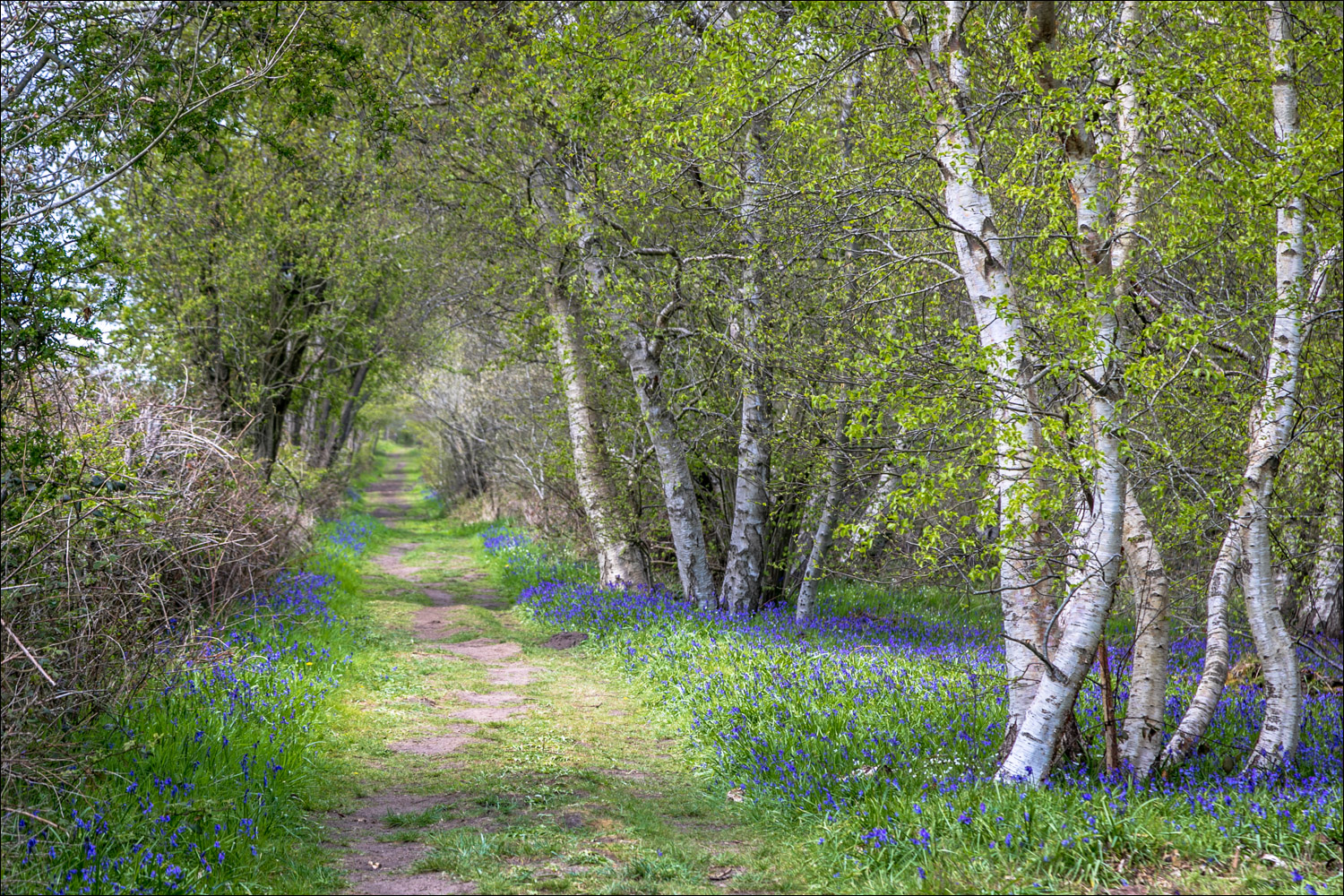
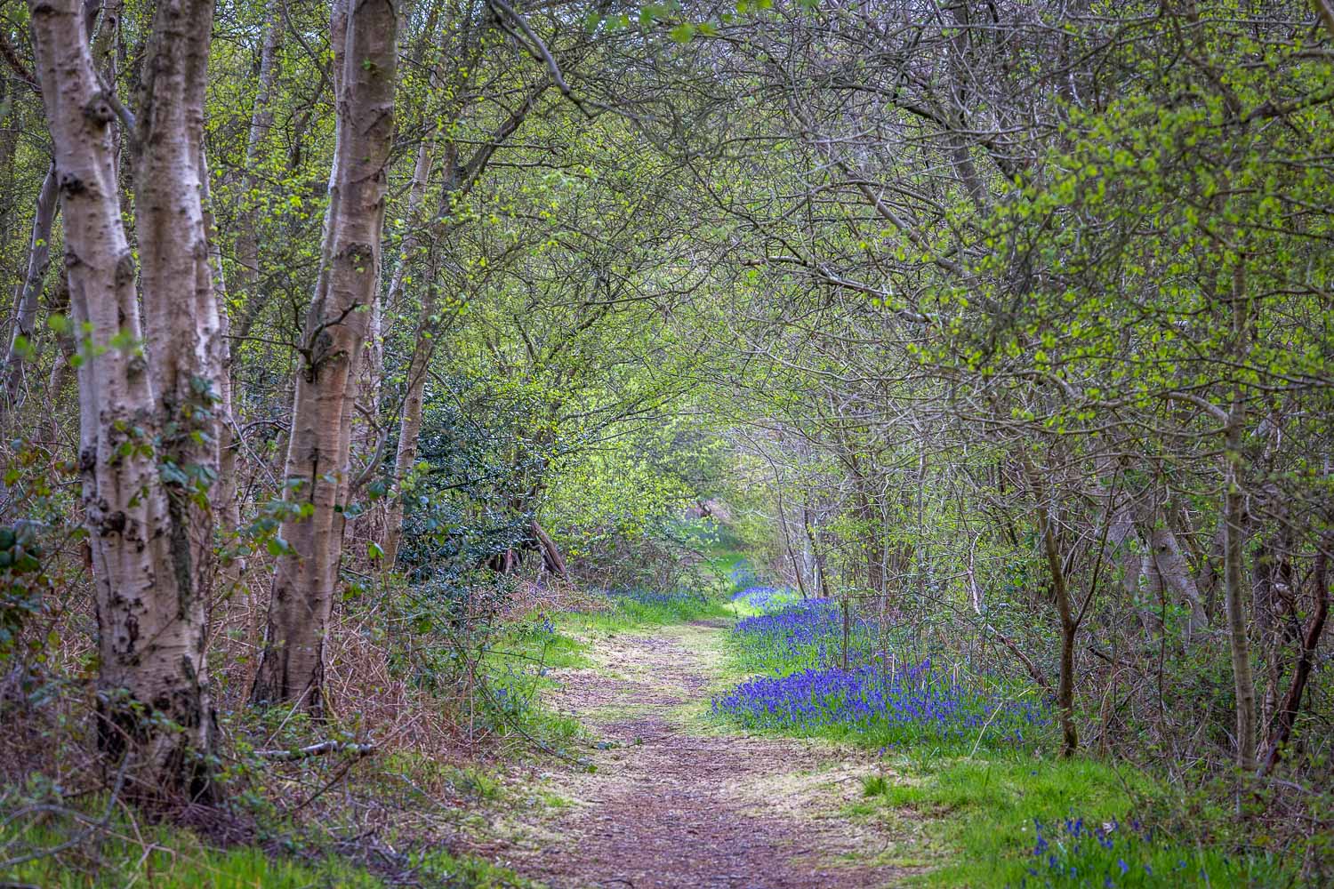
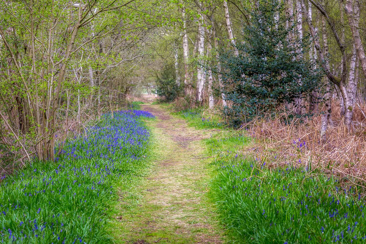
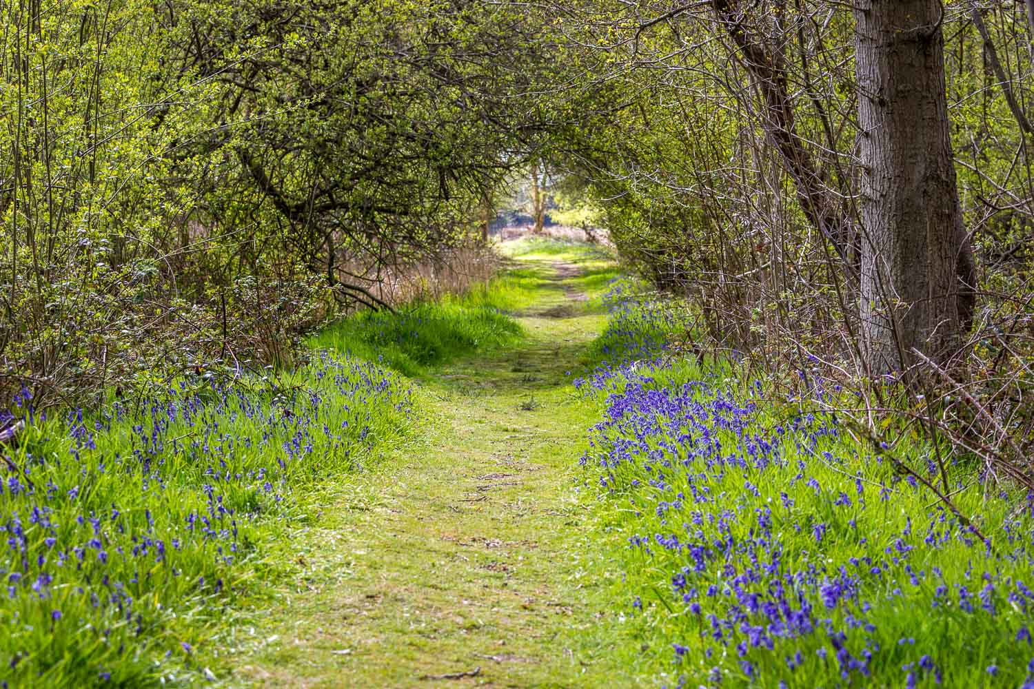
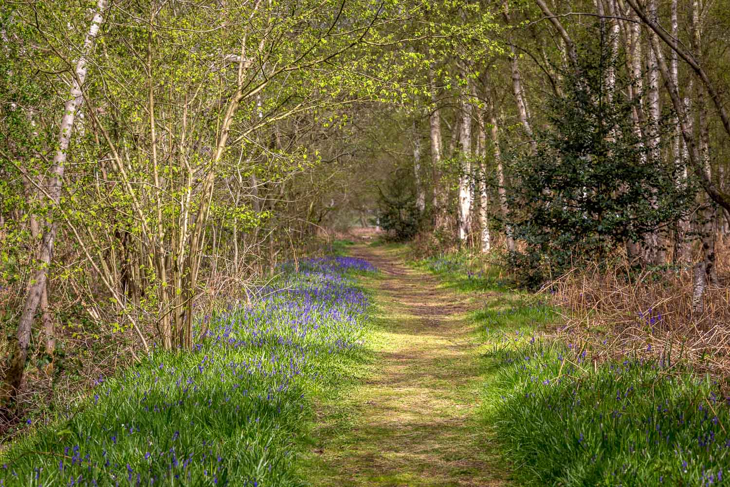
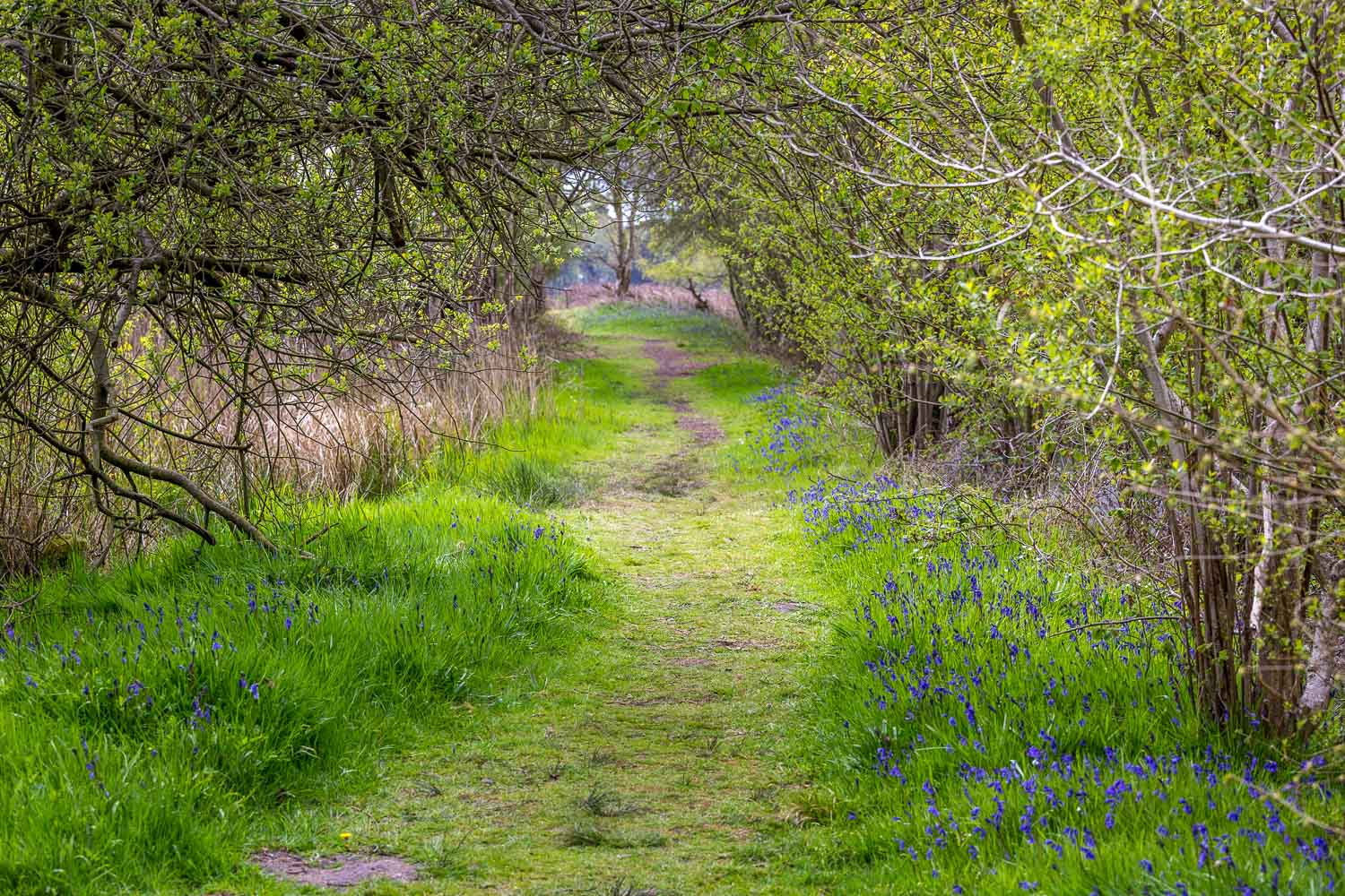
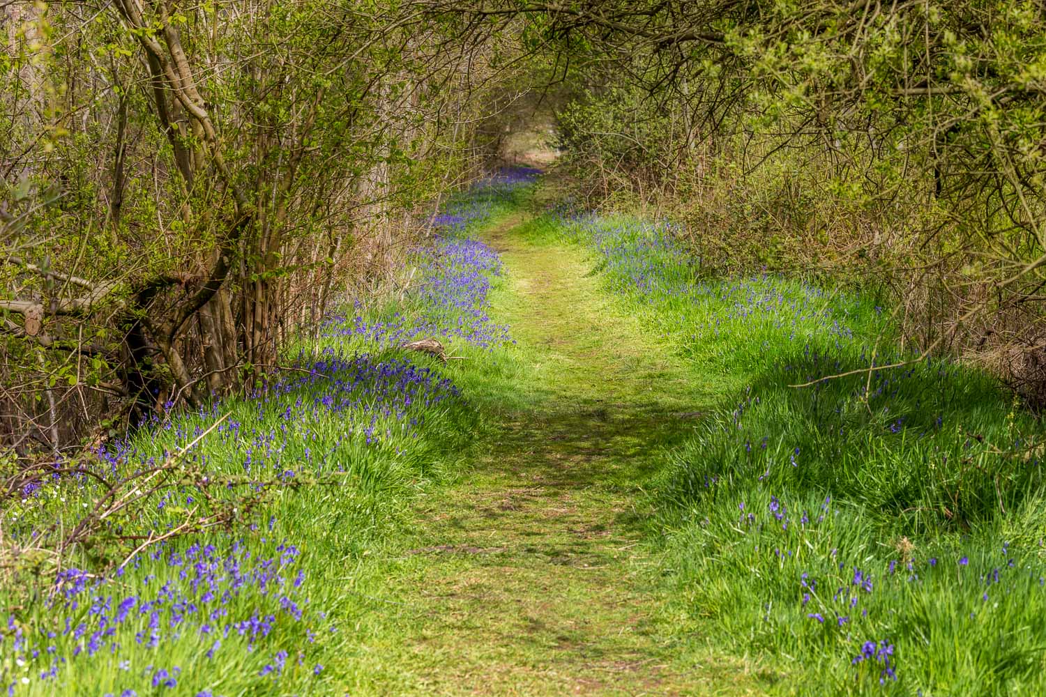
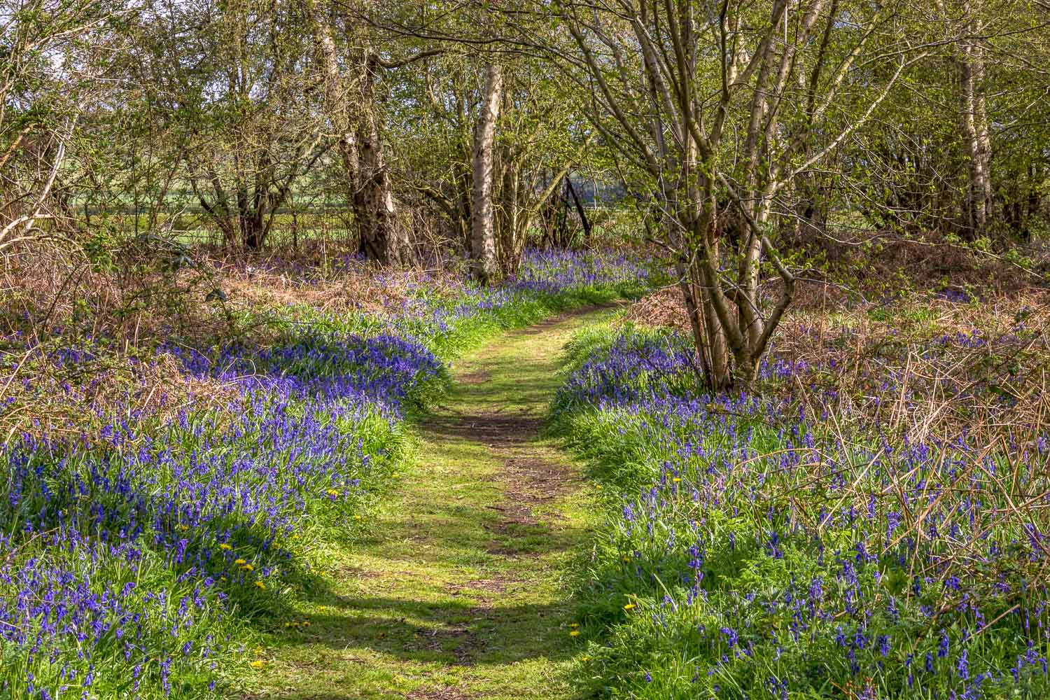
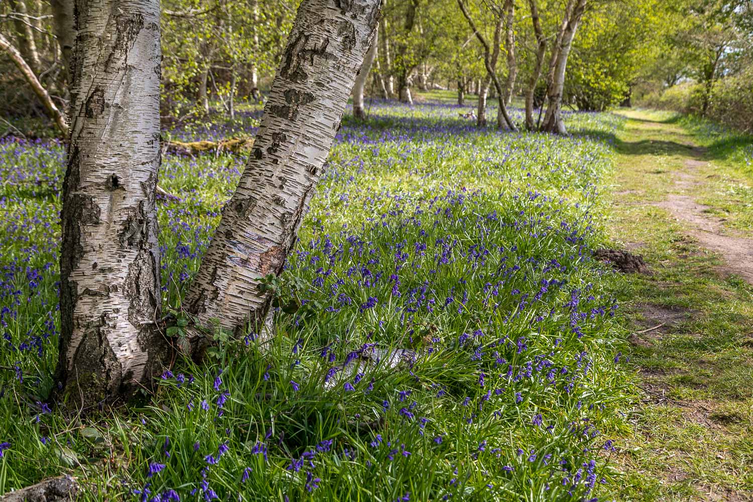
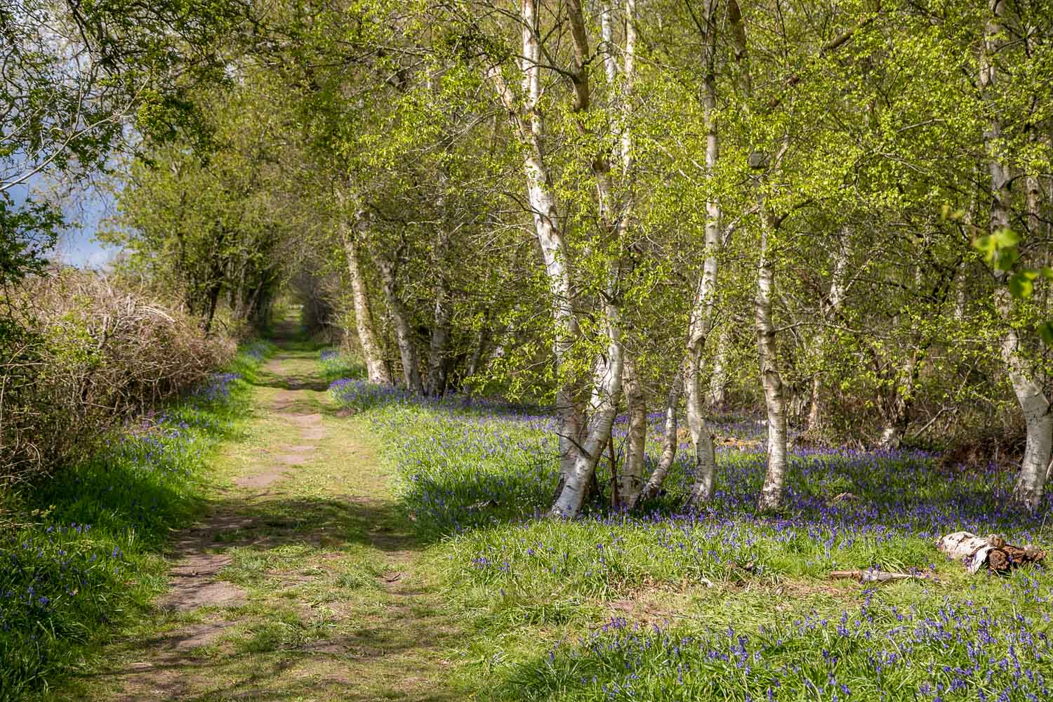
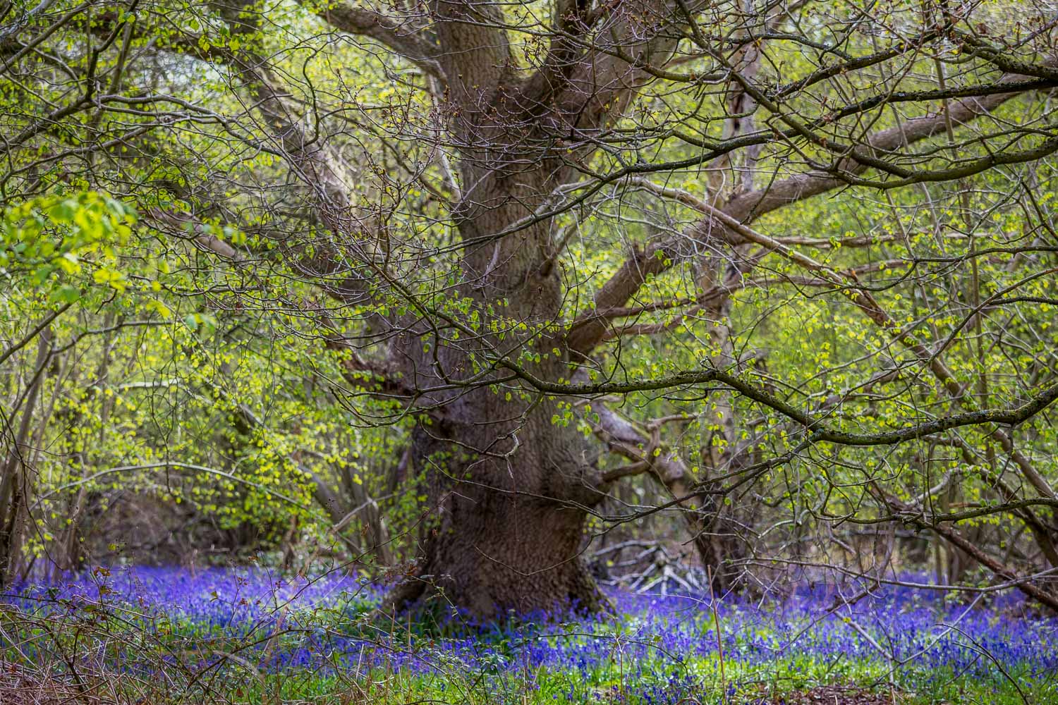
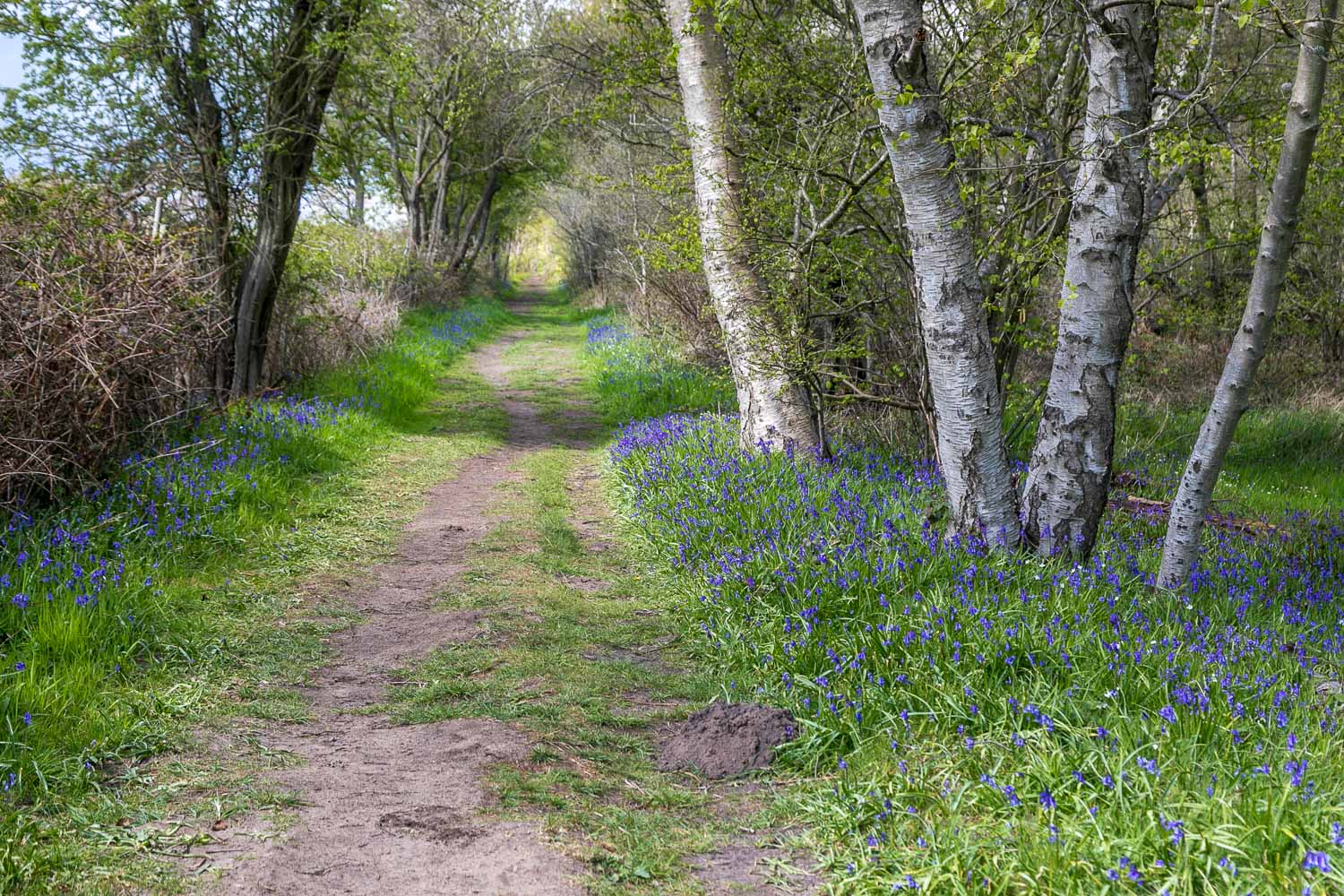
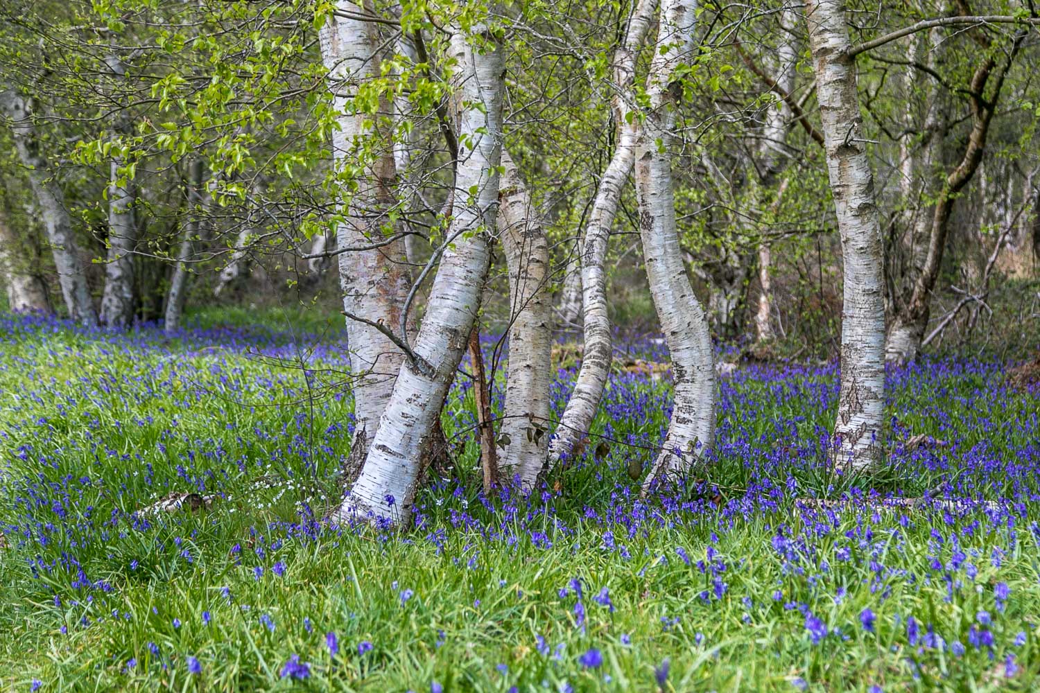
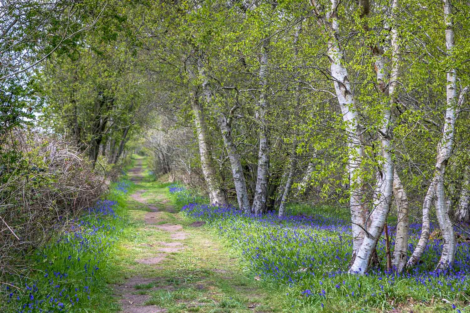
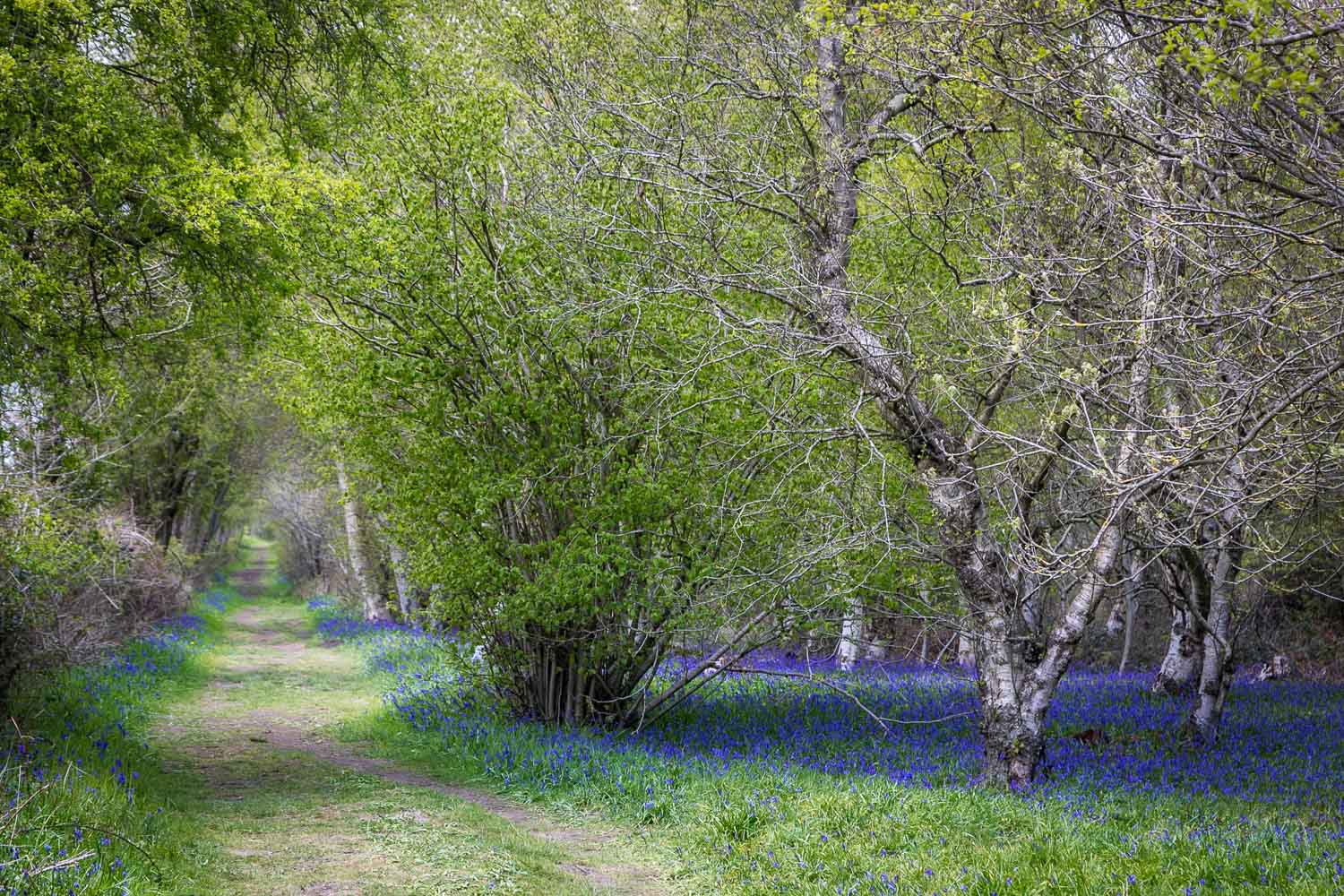
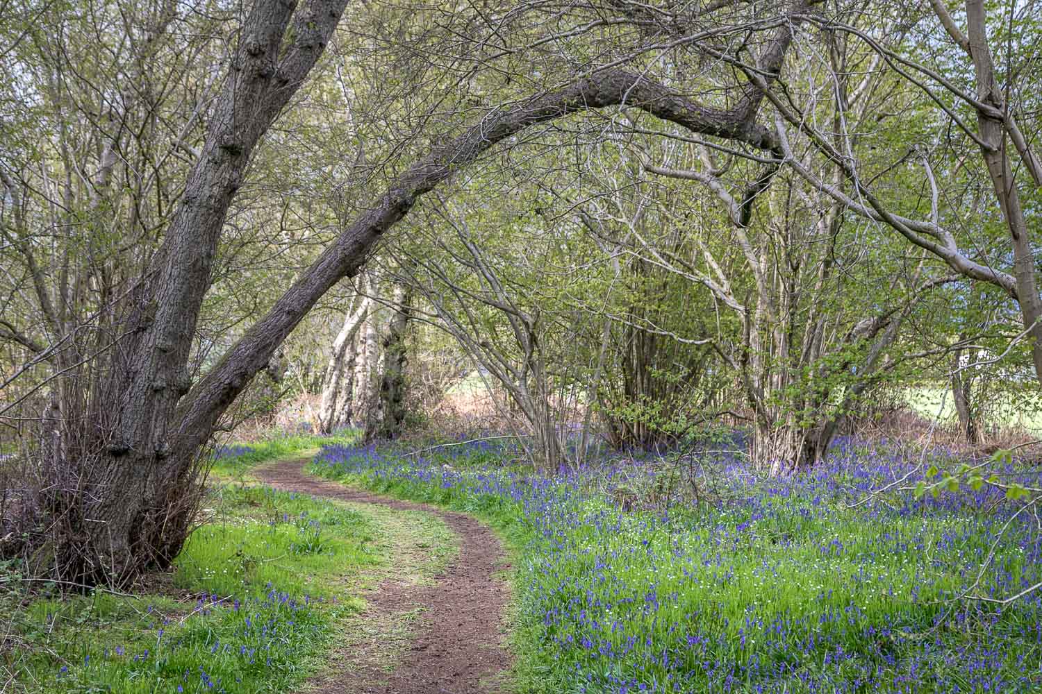
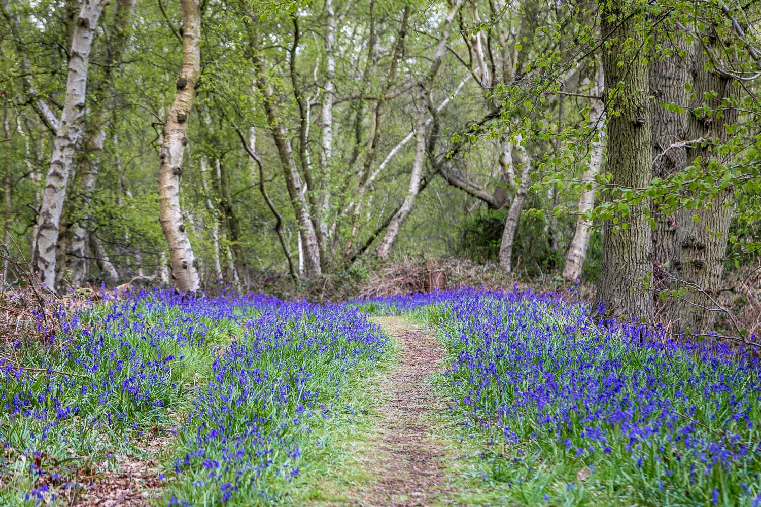
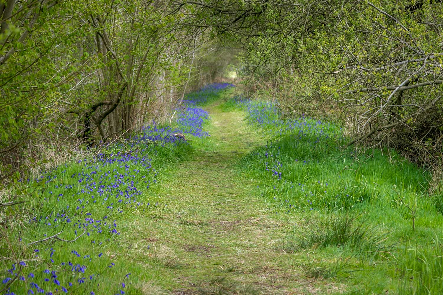
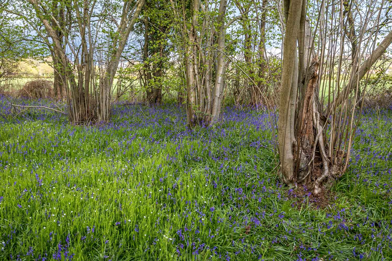
Today’s visit was timed to enjoy the sight – and scent – of bluebells, which were a little later come into flower than in previous years, possibly on account of recent cold weather
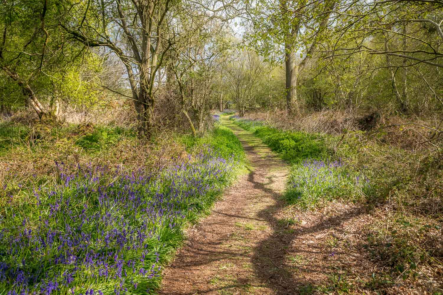
There are a few roadside parking spaces along Sand Lane by the two entrances to the wood and I parked in one of these and followed the track along the western edge of the wood. Within a couple of minutes I was greeted by the spectacle of countless bluebells lining the path
I walked around the perimeter of the wood, as well as a small area of heathland where grass snakes may regularly be seen basking, though I didn’t see any today
I then re-entered the wood, following a path around the edge until I arrived back at the start
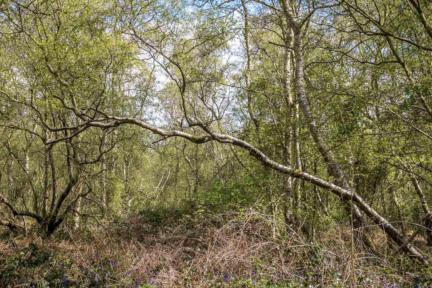
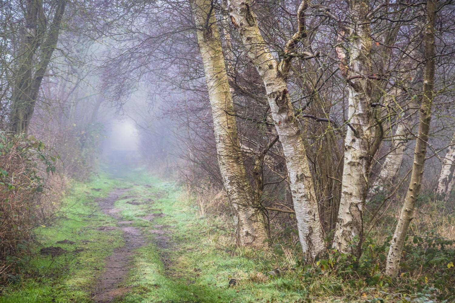
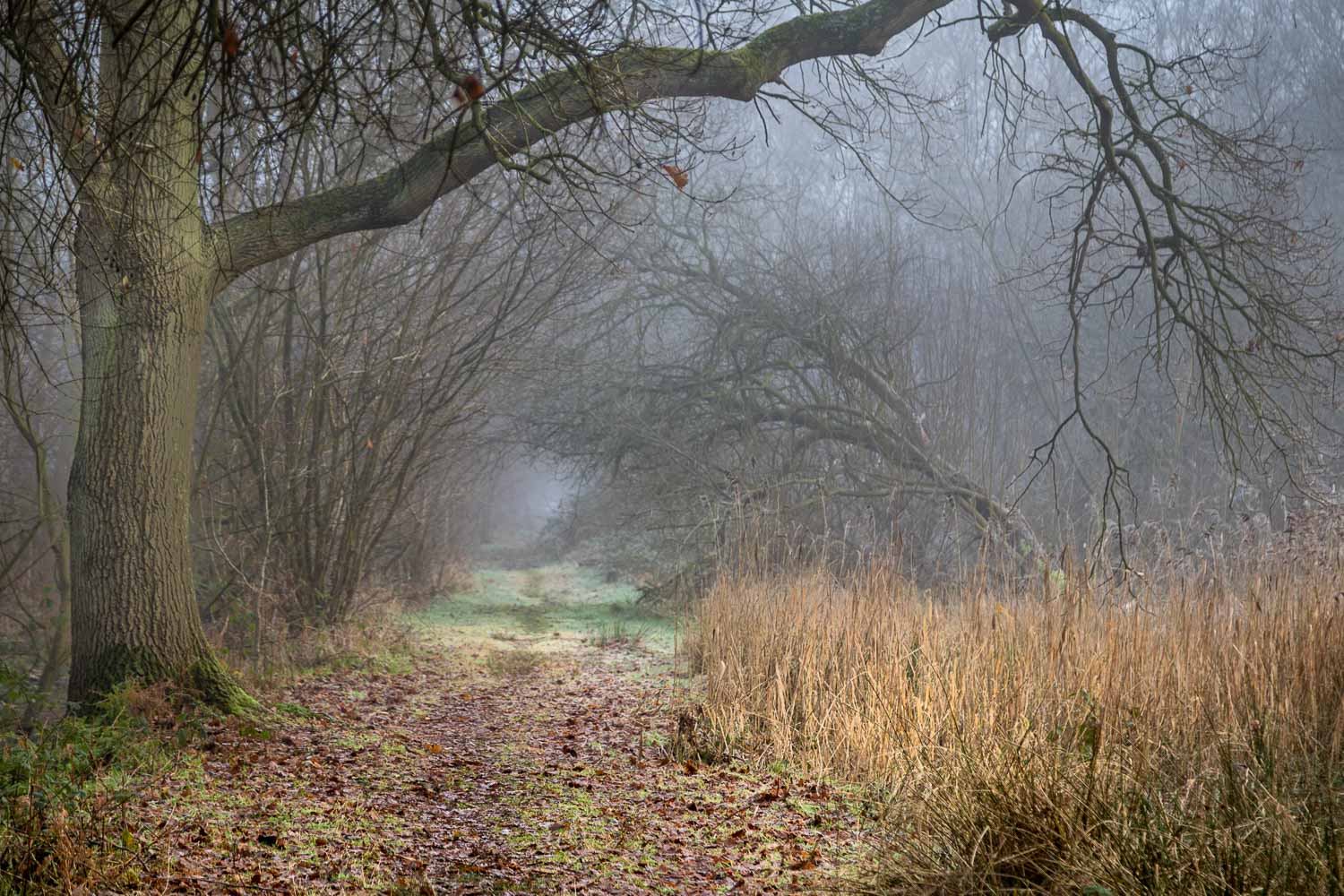
I’ve not described the route taken in detail, as navigation is a straightforward affair and it’s best to go where your fancy takes you. For this reason most of the pictures which follow are captionless, but I hope that they convey the beauty of the place. For anyone new to the area, it’s worth making a day of it and visiting the nearby North Cave Wetlands Nature Reserve, also managed by Yorkshire Wildlife Trust
For other walks here, visit my Find Walks page and enter the name in the ‘Search site’ box
Click on the icon below for the route map (subscribers to OS Maps can view detailed maps of the route, visualise it in aerial 3D, and download the GPX file. Non-subscribers will see a base map)
Scroll down – or click on any photo to enlarge it and you can then view as a slideshow
