Route: Millington
Area: East Yorkshire
Date of walk: 15th February 2013
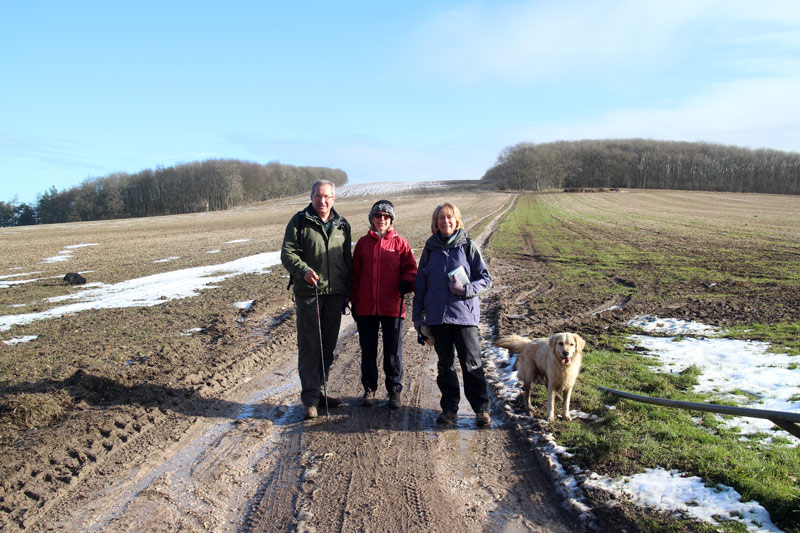
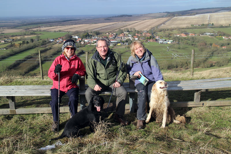
Walkers: Andrew, Gilly, David and Fiona
Distance: 7.8 miles
Ascent: 1,000 feet
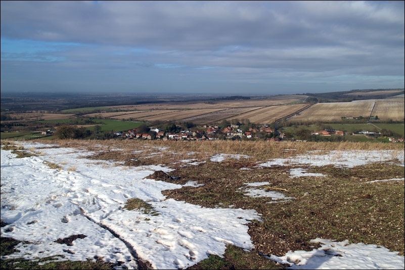
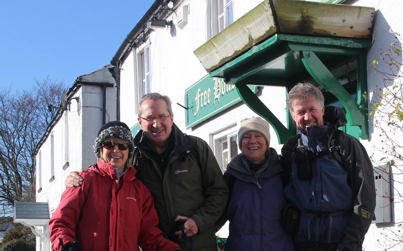
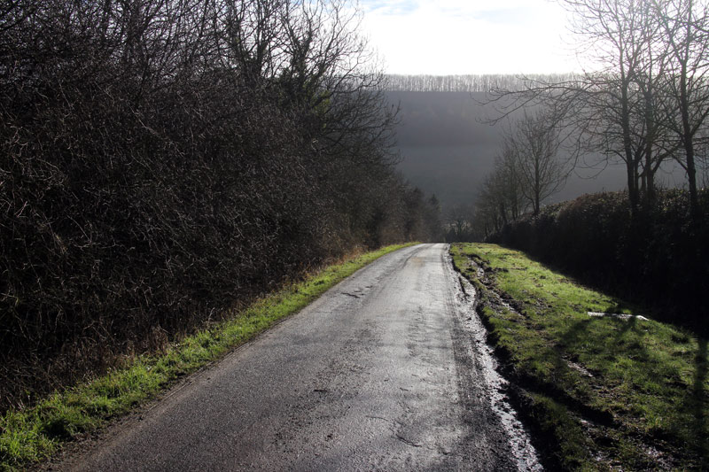
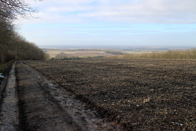
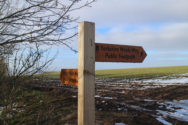
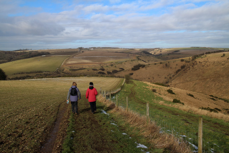
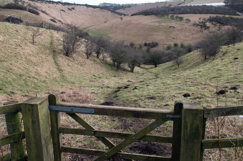
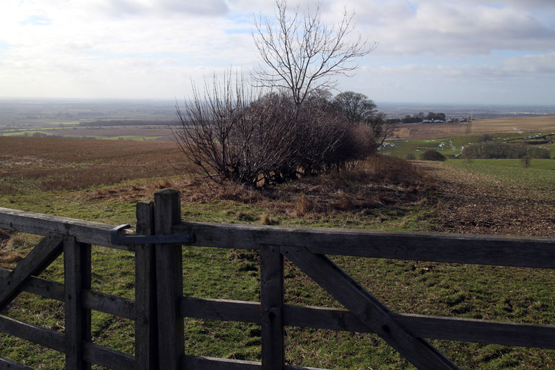
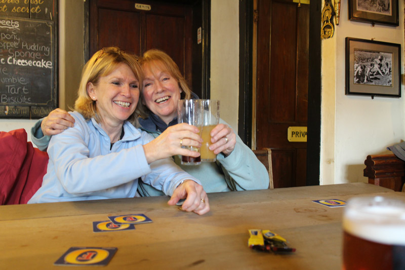
We parked opposite the Gait Inn at Millington for reasons which will become apparent from the final photo. We walked along a quiet lane to join the Wolds Way, which took us along the western ridge of the Wolds with lovely views back over Millington and the Vale of York.
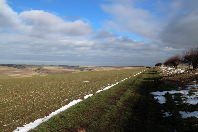
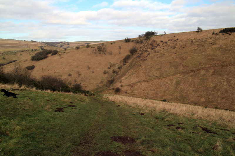
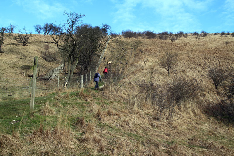
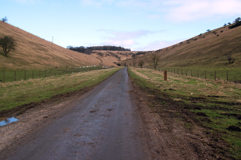
We followed the course of a Roman road for a short distance and then descended to Millington Dale. The route then took us up to the chalk banks of Millington Pastures and Millington Heights (700 feet approx), and finally back down into the village itself at a convenient time to enjoy the hospitality of the Gait Inn.
For other walks here, visit my Find Walks page and enter the name in the ‘Search site’ box
Click on the icon below for the route map (subscribers to OS Maps can view detailed maps of the route, visualise it in aerial 3D, and download the GPX file. Non-subscribers will see a base map)
Scroll down – or click on any photo to enlarge it and you can then view as a slideshow
