Route: Mellbreak
Area: Western Lake District
Date of walk: 19th July 2016
Walkers: Andrew
Distance: 6.3 miles
Ascent: 1,800 feet
Weather: Sunny and exceptionally hot
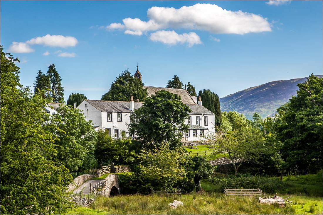
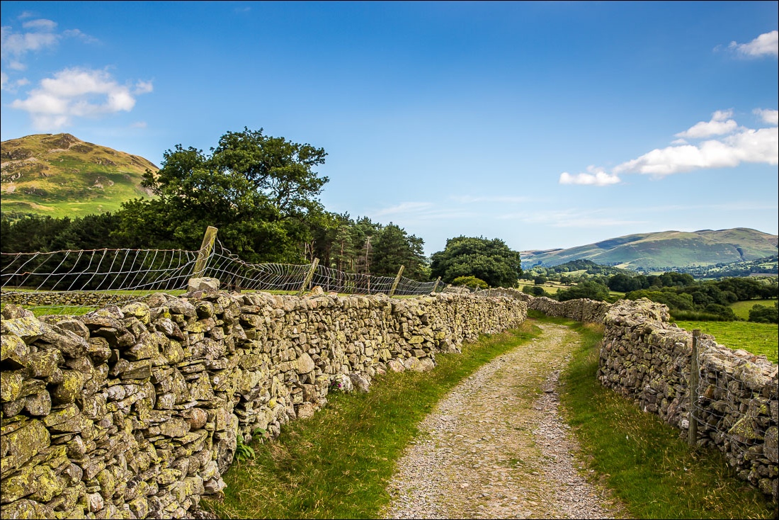
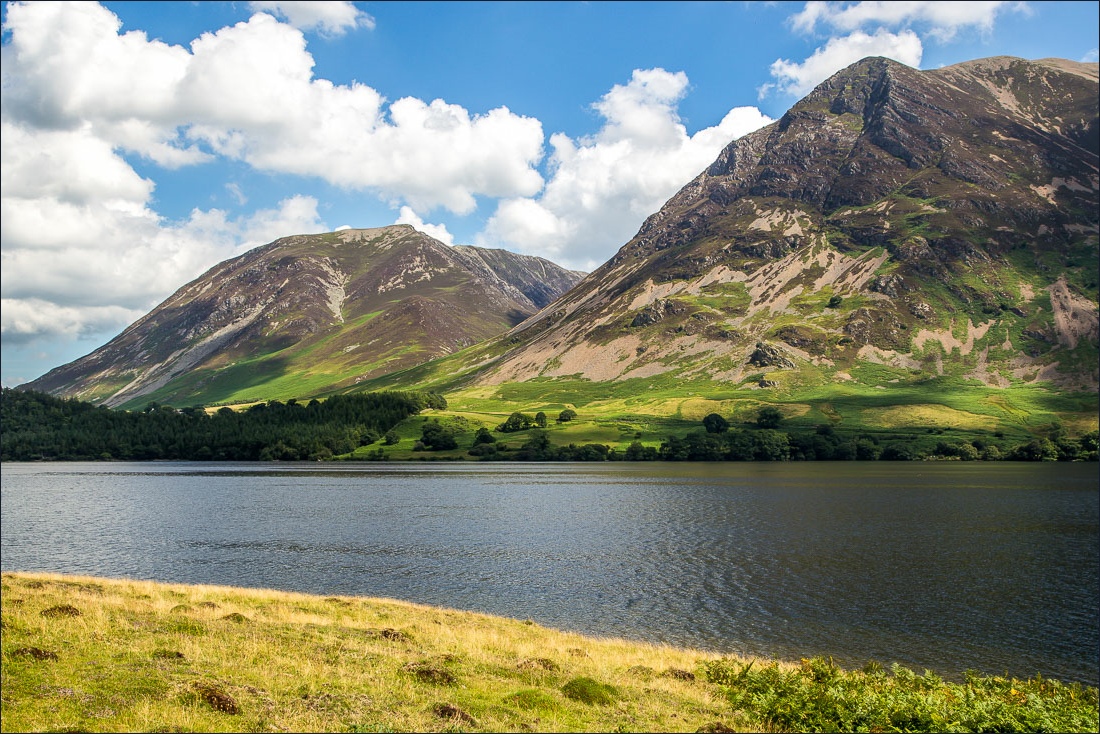
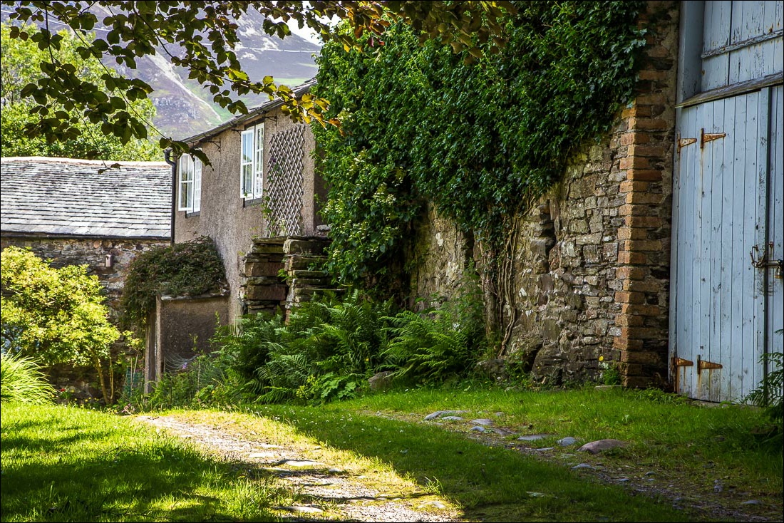
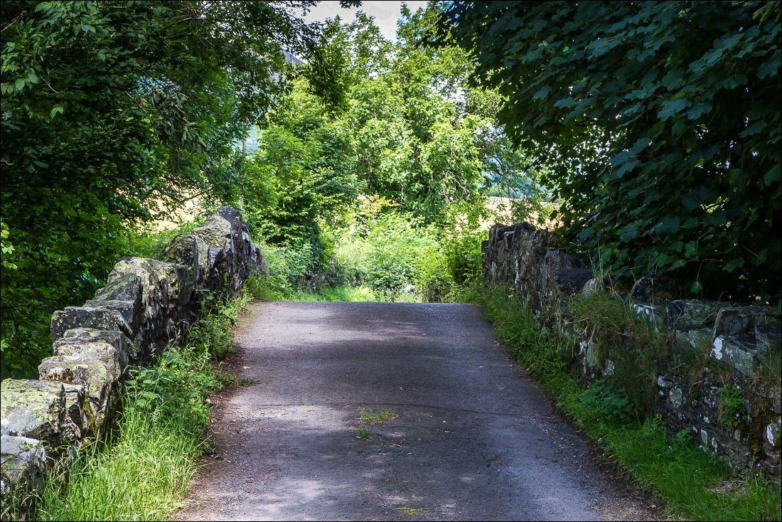
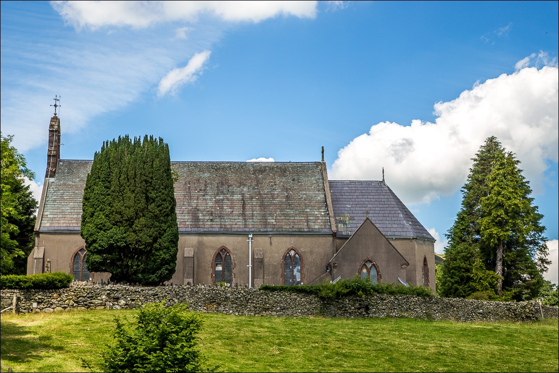
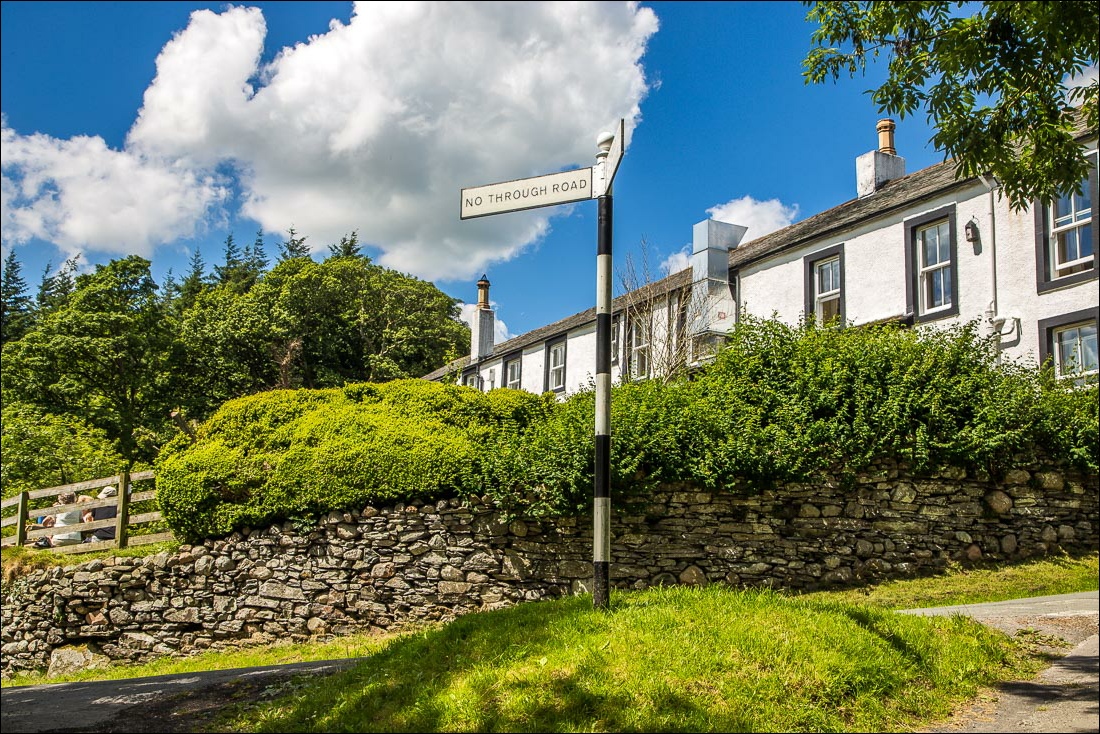
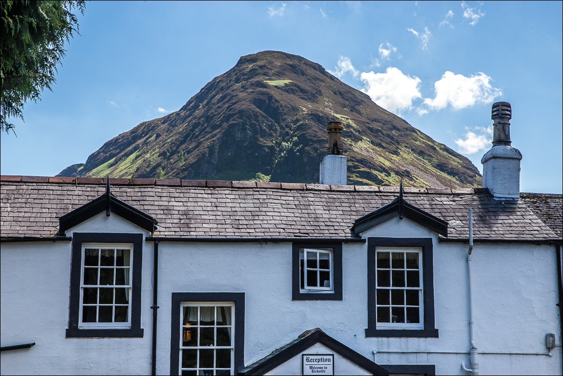
Gilly dropped me off at Church Bridge near the famous Kirkstile Inn and if all went according to plan we’d meet up again for lunch there. I set off down the lane following the same route as I’ve done each of the many times I’ve been up Mellbreak – the fell stands on its own with no connecting ridges to other fells, so that there is little possibility of variations. As Wainwright puts it ‘Mellbreak is isolated, independent of other high ground, aloof’
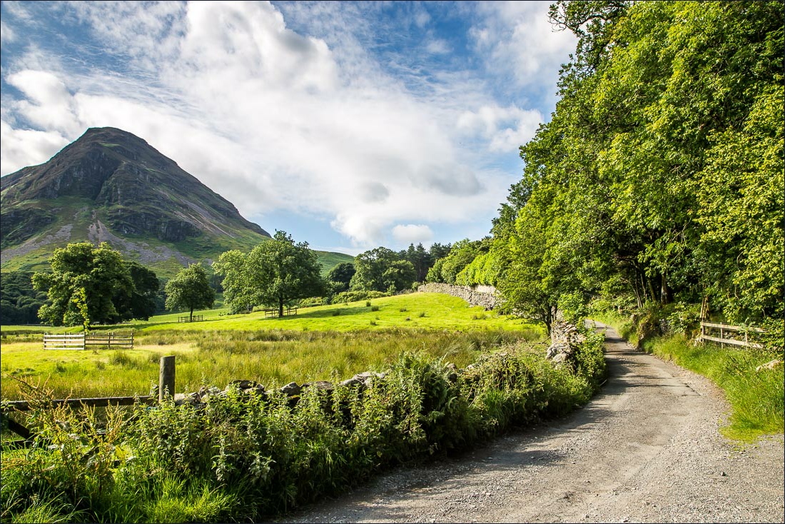
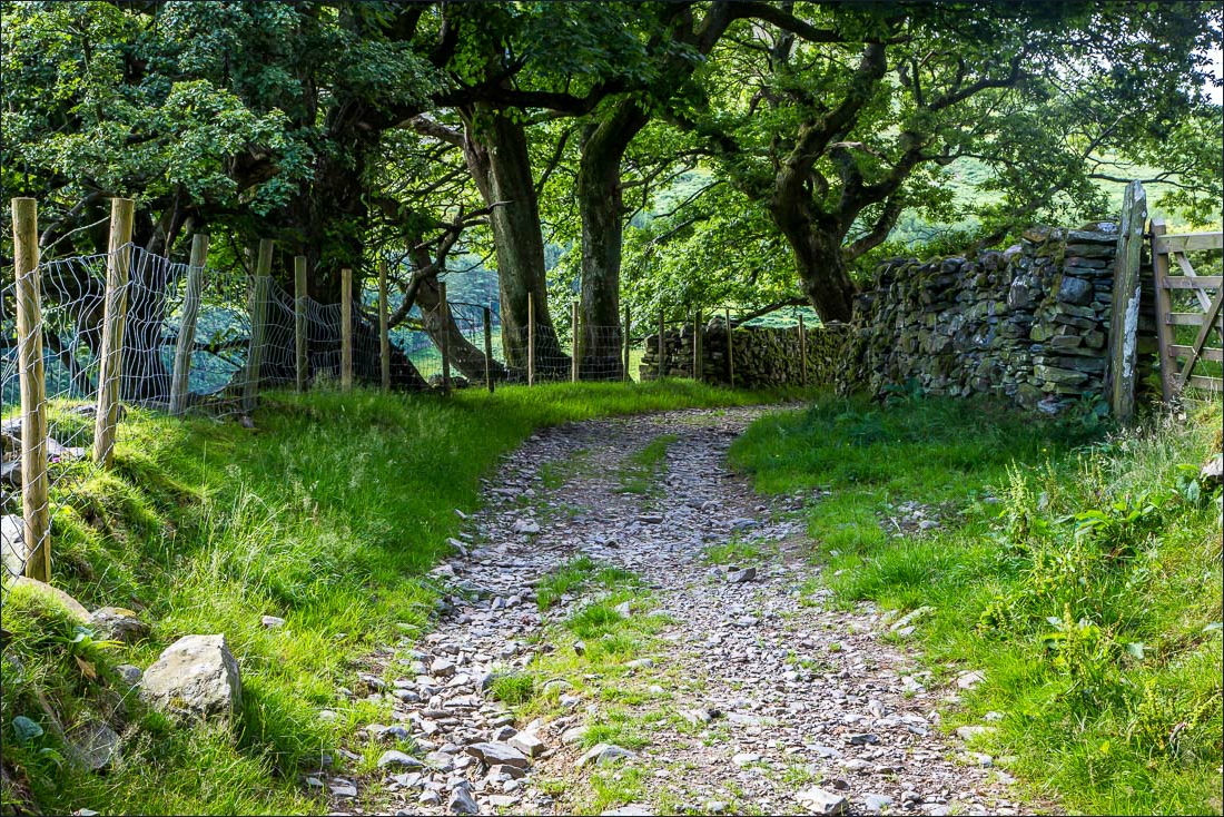
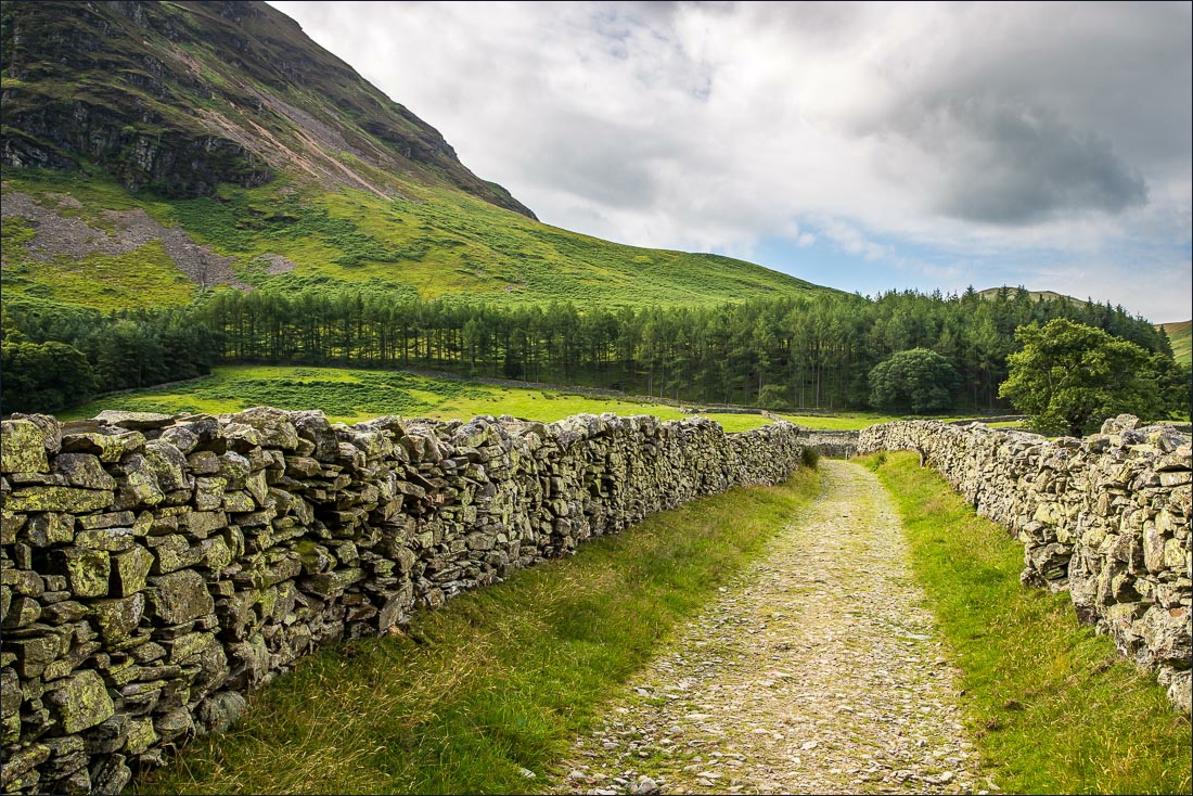
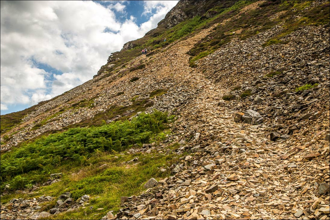
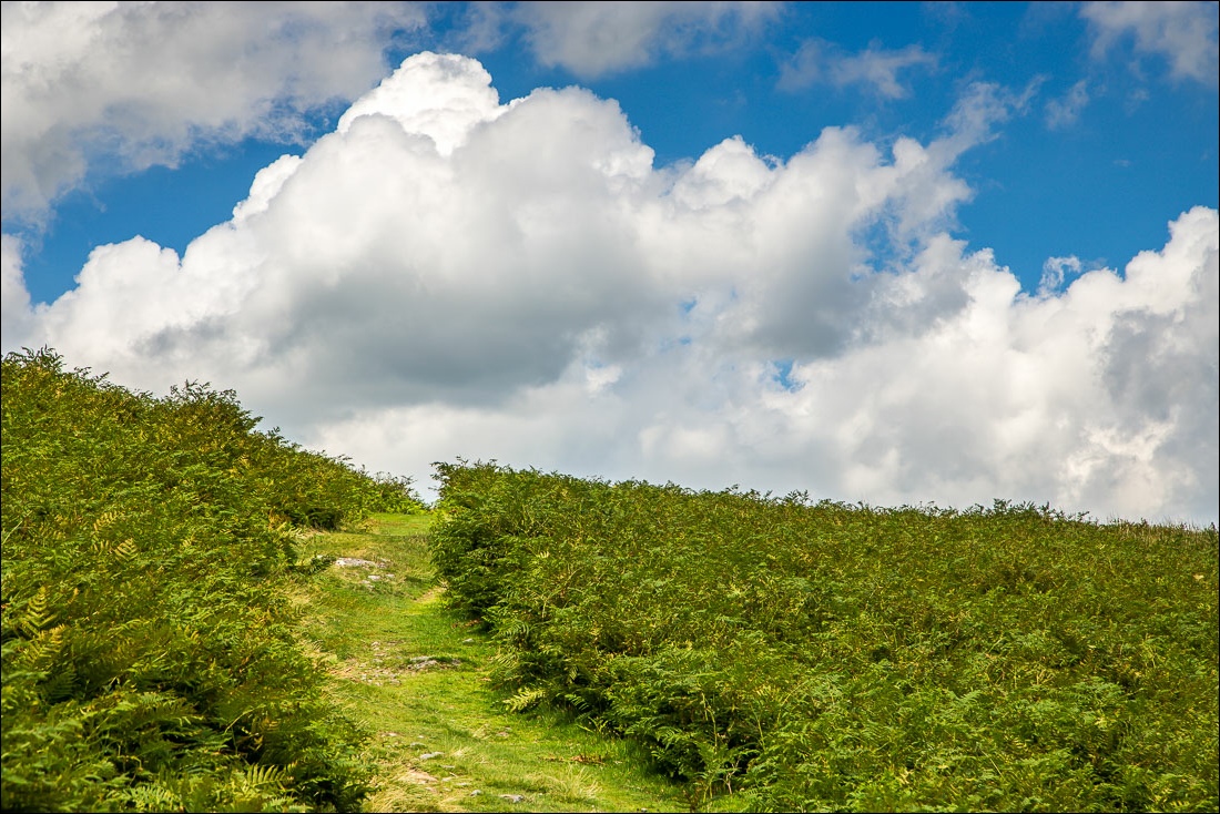
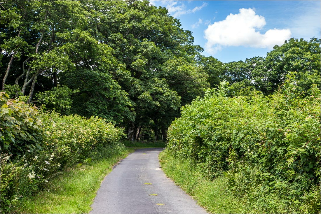
The lane from Church Bridge becomes a stony track and when I reached the firebreak in the wood I turned off to start the steep climb up the fell, much better approached as an ascent than a descent, which is why I always do this walk anti-clockwise
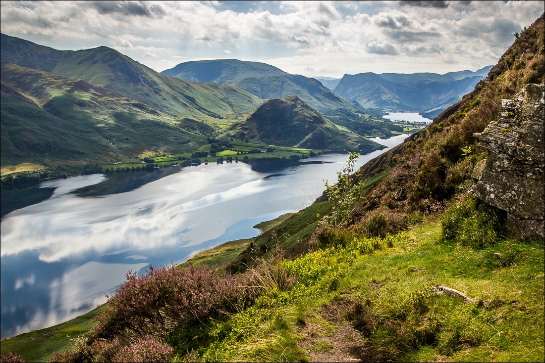
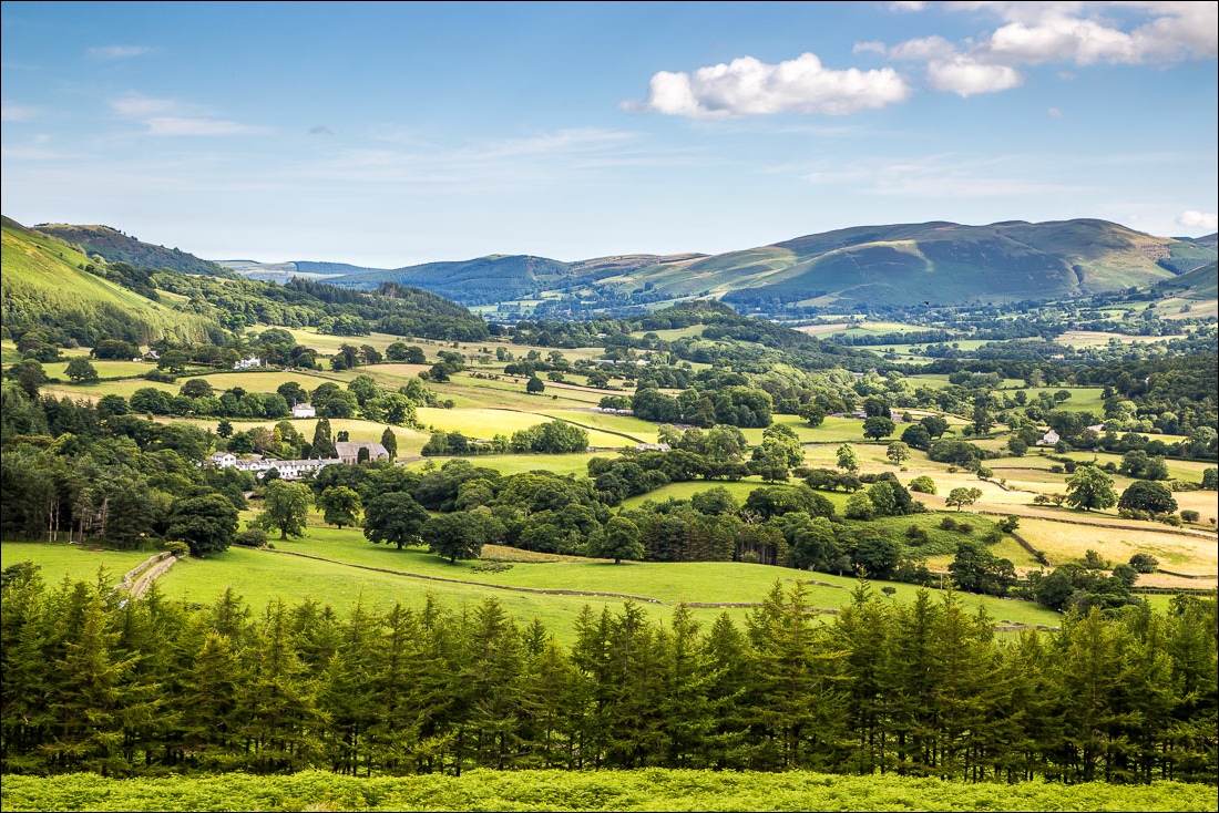
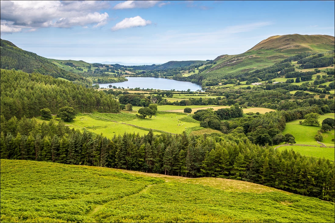
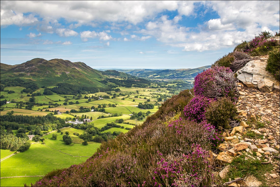
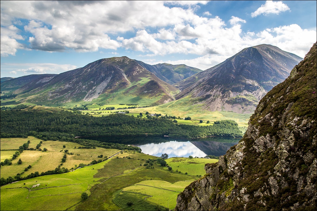
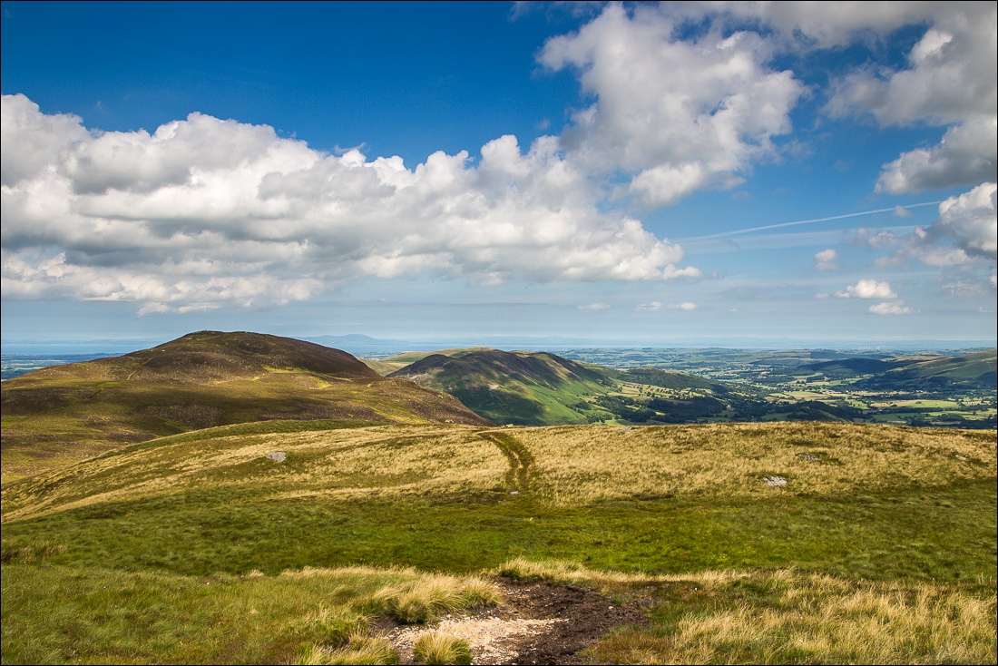
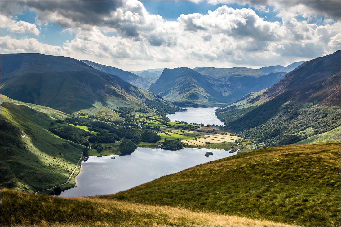
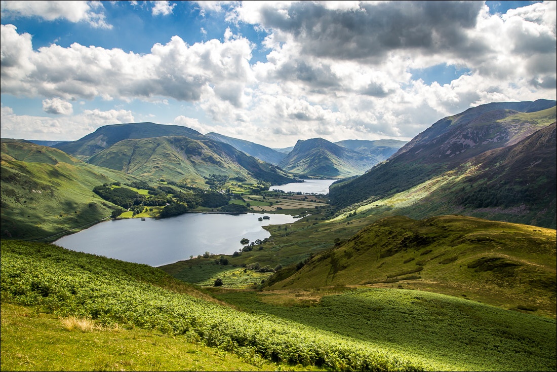
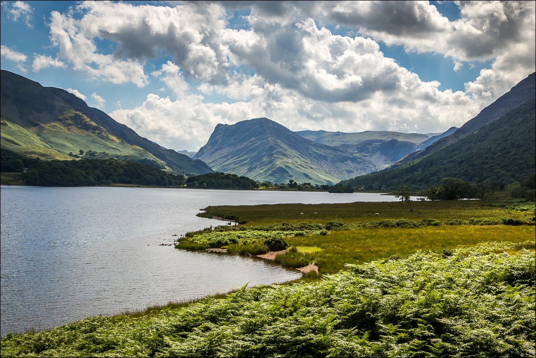
I emerged at the north top huffing and puffing as it was a scorchingly hot day, the hottest of the year to date. There then followed the long down and up over the saddle of Mellbreak to the south top. The views from here were as good as ever
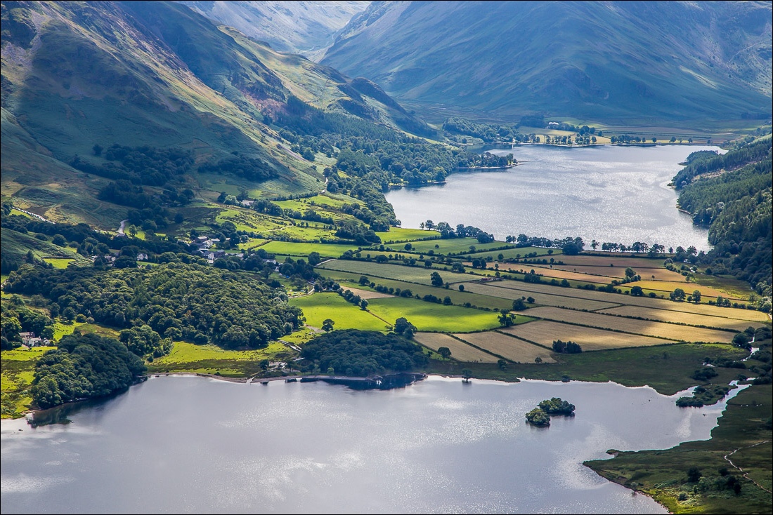
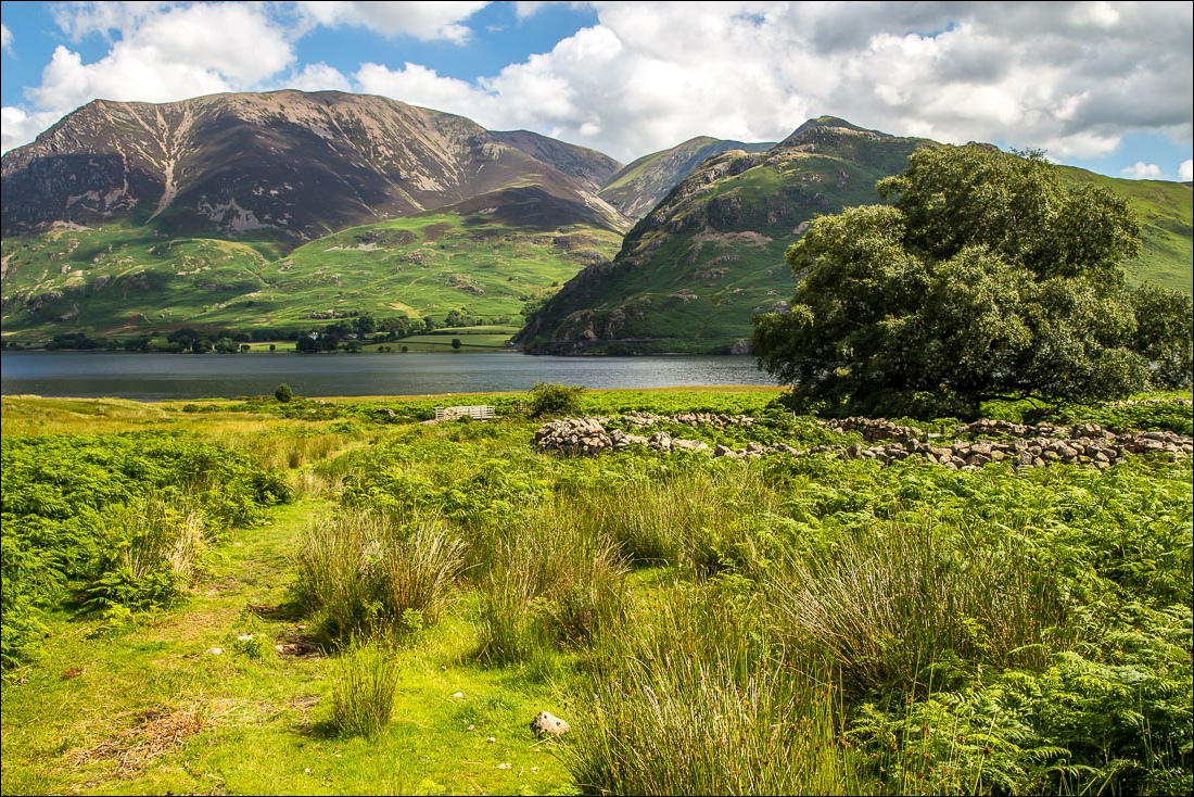
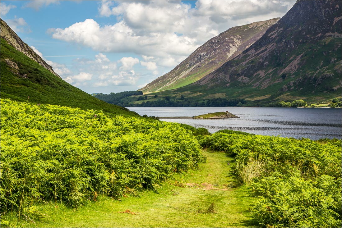
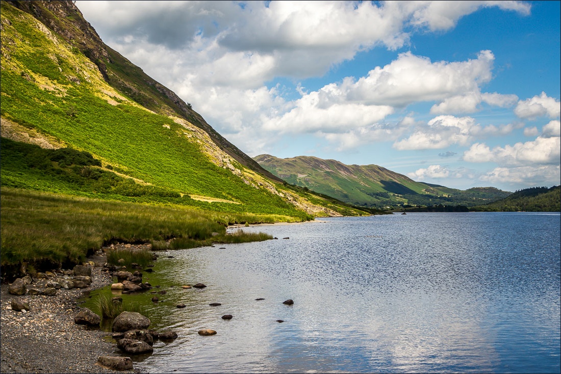
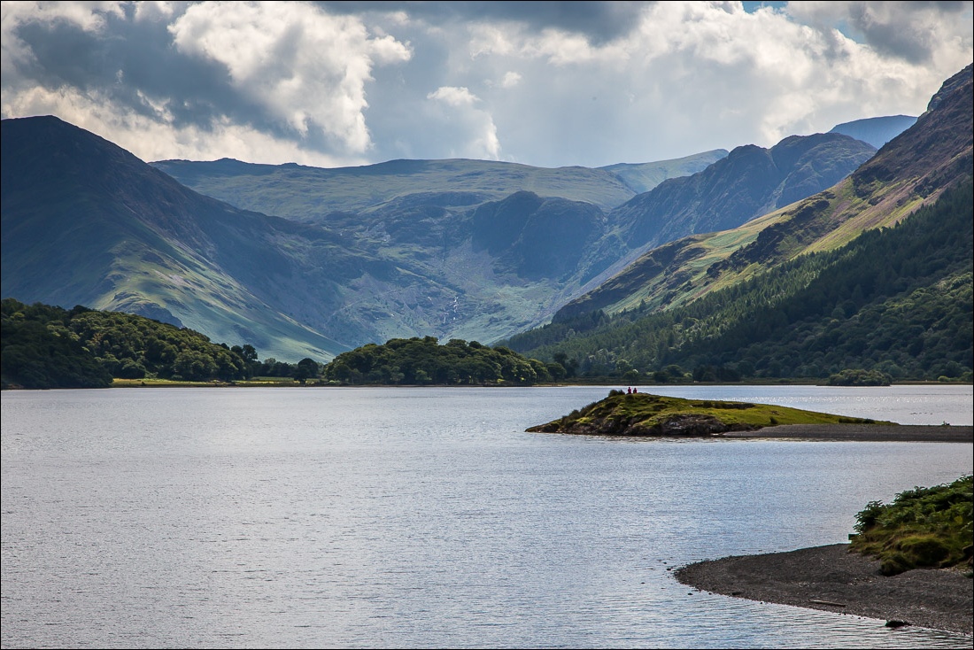
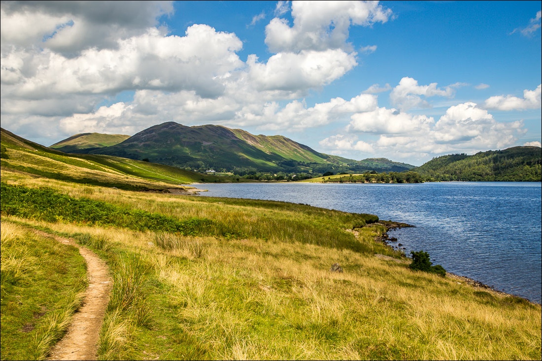
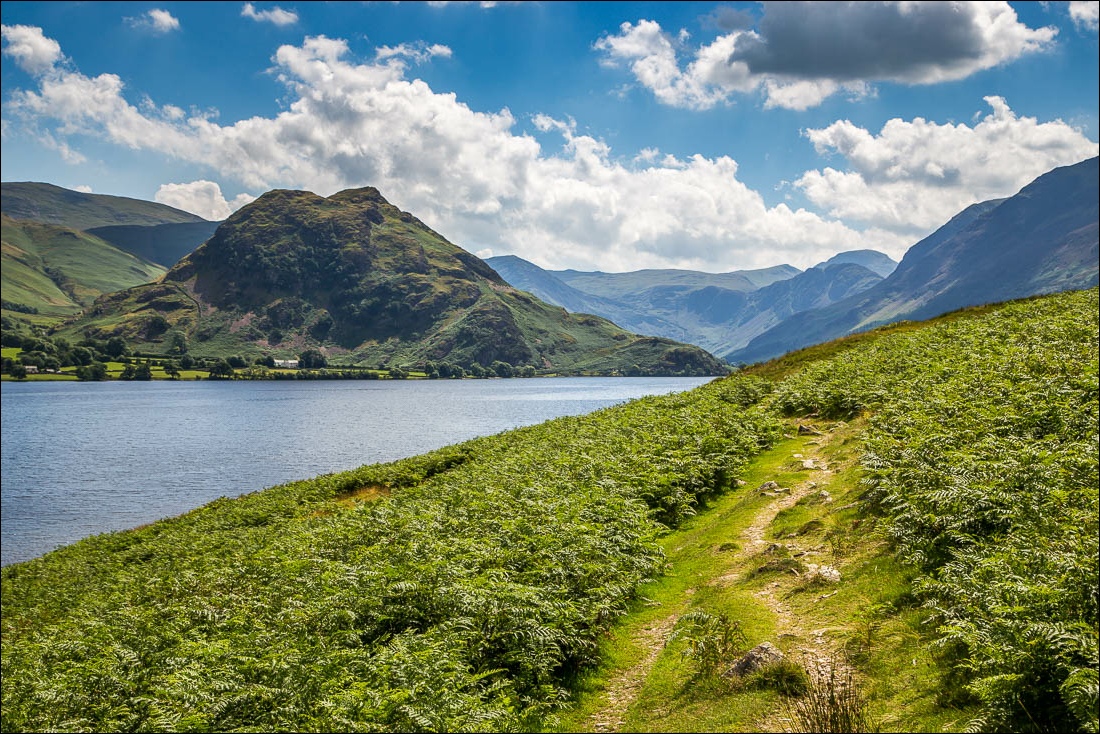
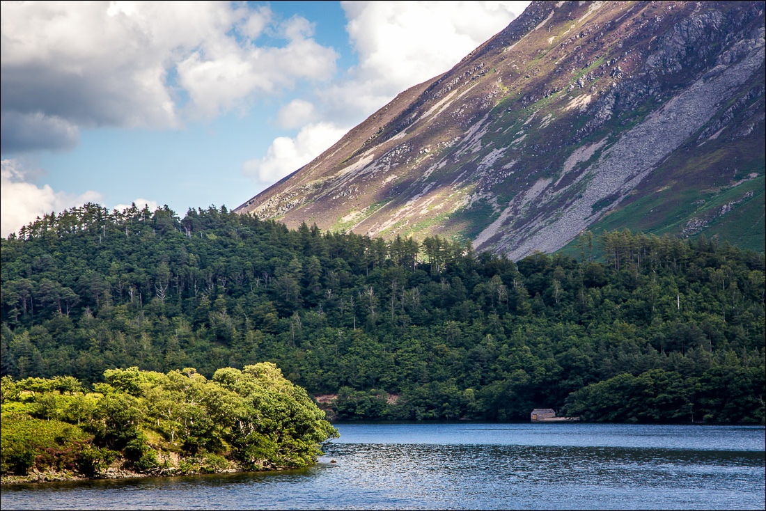
After descending via Scale Beck I walked along the shore of Crummock Water back to the Kirkstile. By the time I finished the walk I was completely parched and so the sight of Gilly greeting me there with a pint of Loweswater Gold seemed like a mirage – a great end to a classic walk
For other walks here, visit my Find Walks page and enter the name in the ‘Search site’ box
Click on the icon below for the route map (subscribers to OS Maps can view detailed maps of the route, visualise it in aerial 3D, and download the GPX file. Non-subscribers will see a base map)
Scroll down – or click on any photo to enlarge it and you can then view as a slideshow
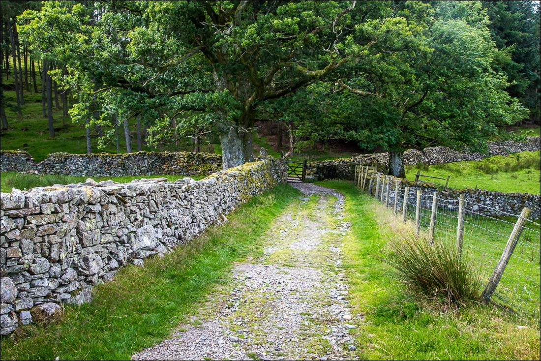
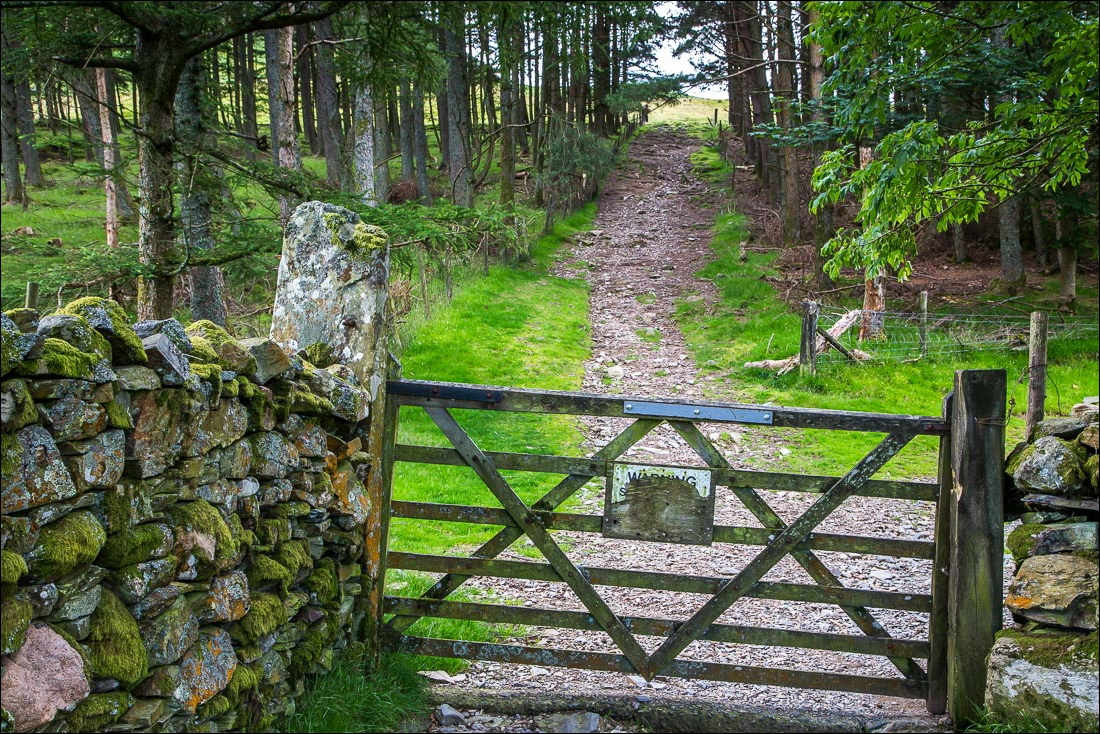
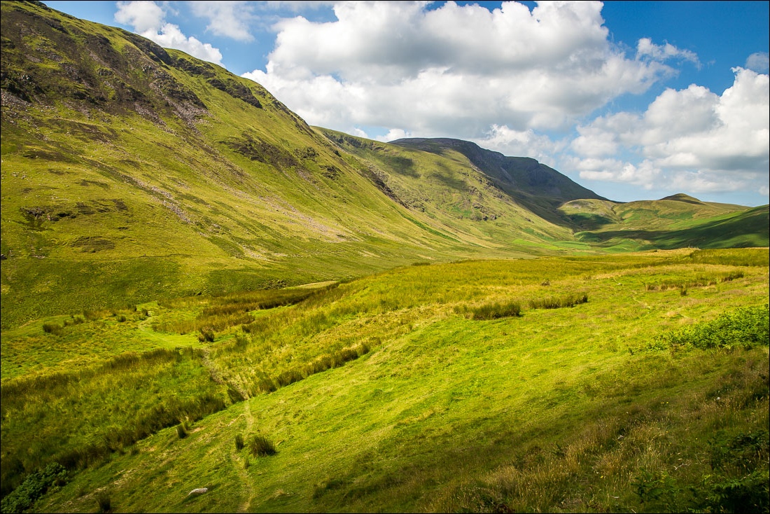
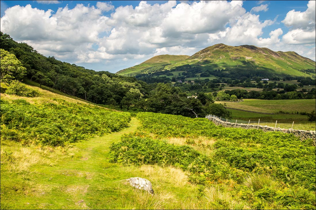
The track leads right into Mosedale but I leave it beyond the gate to climb up through the edge of Flass Wood
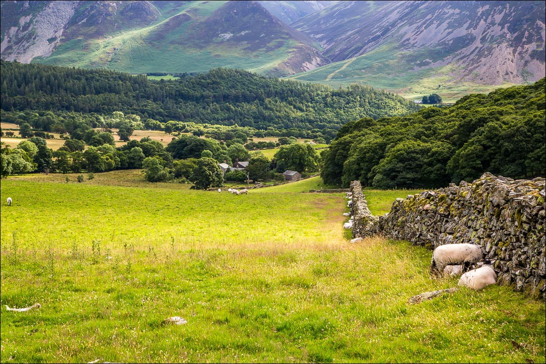
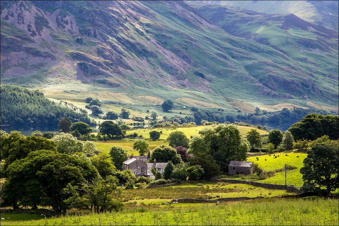
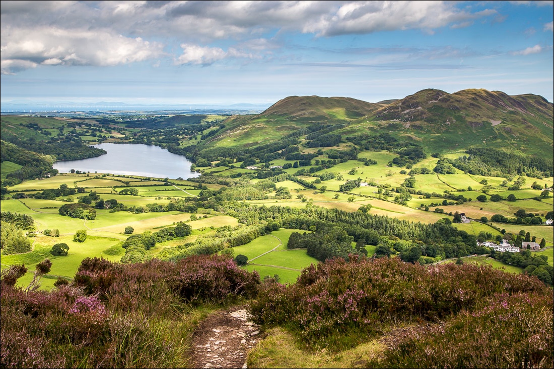
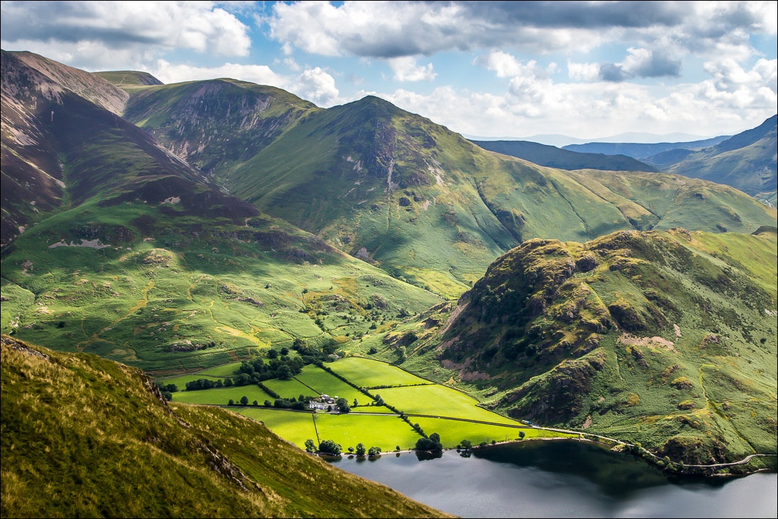
Looking down to Highpark, and a line of sheep along the wall keeping out of the sun on a very hot day
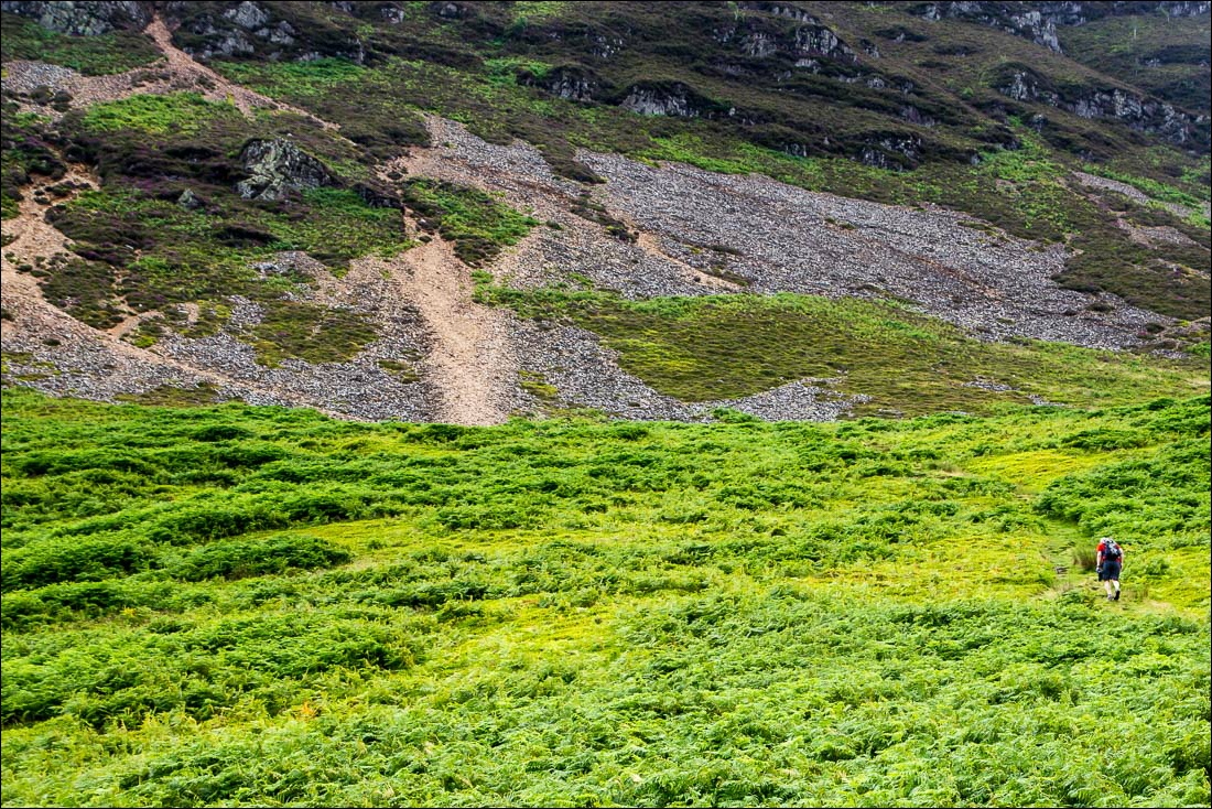
A fellow walker on the right walking up the grassy path - the going gets tougher when the scree section is reached
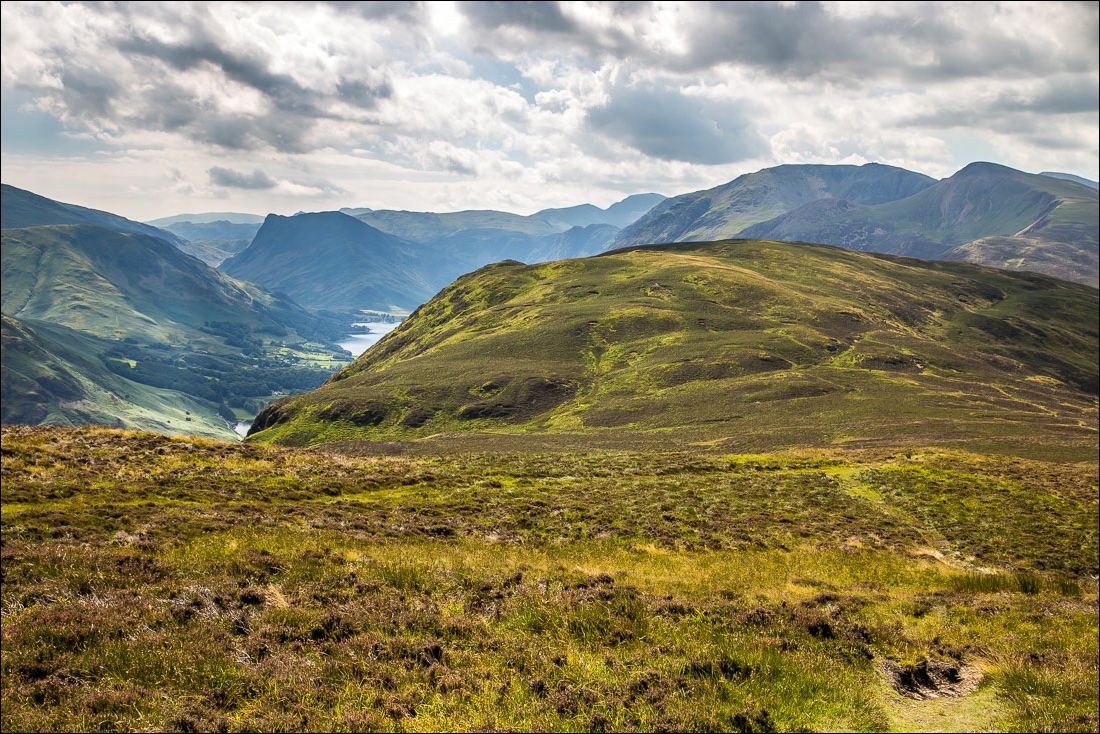
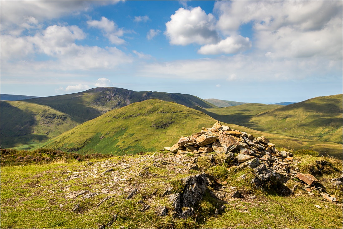
The true nature of the fell is revealed from here - not a pyramid as seen from the start, but a long (and sometimes squelchy) down and up to the south top
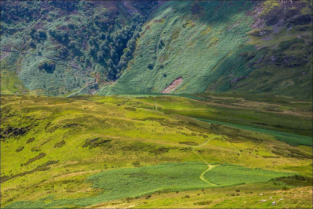
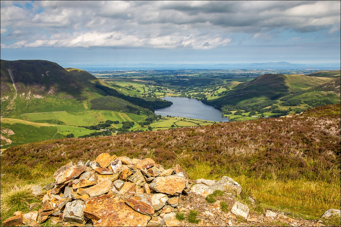
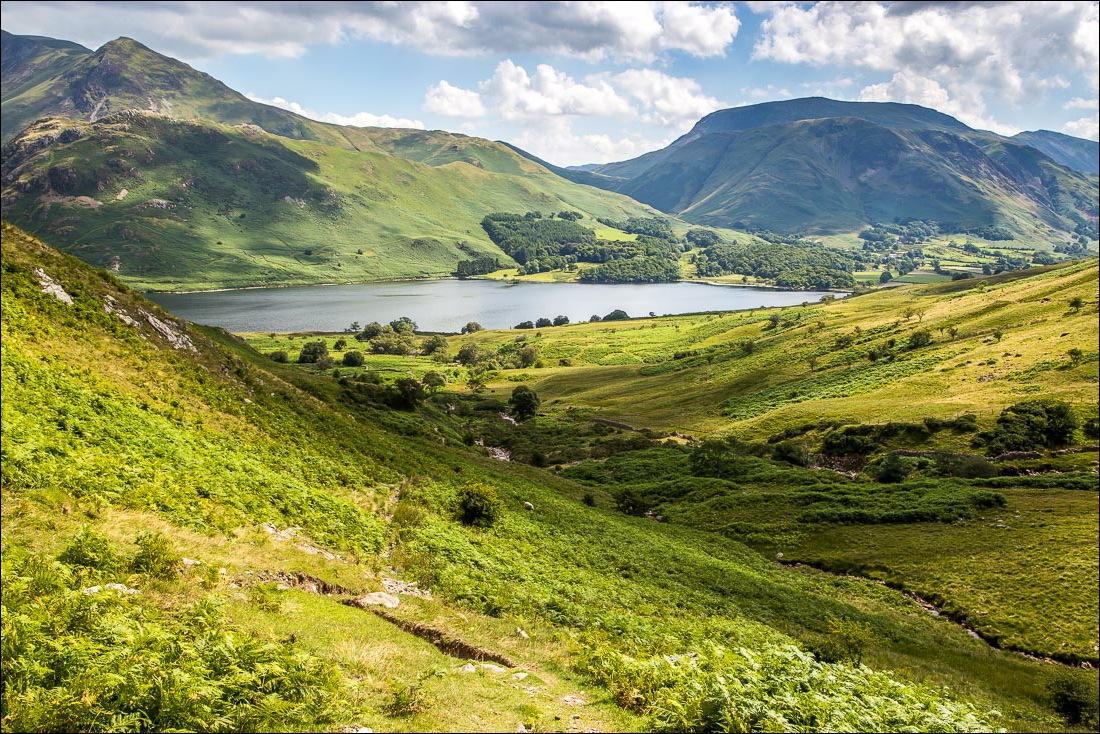
It’s an easy descent down the grassy slopes, initially in the direction of Scale Force between the trees
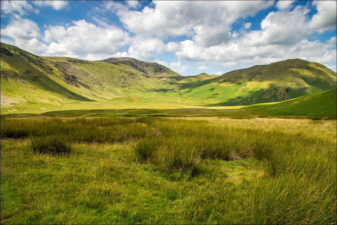
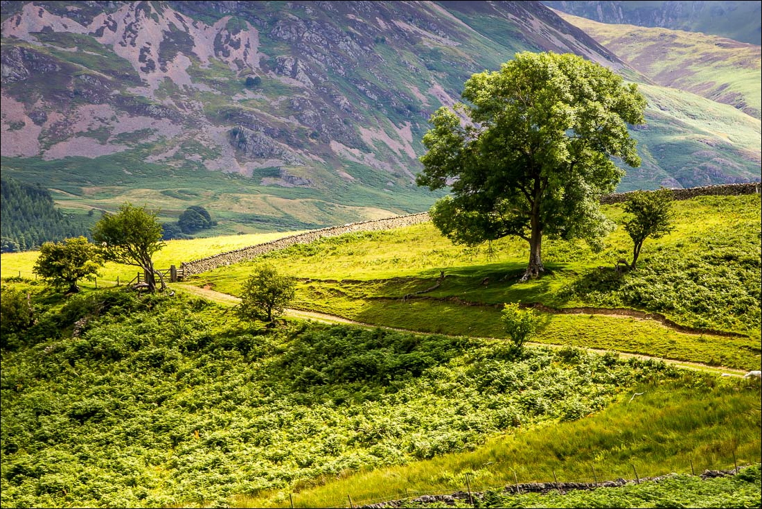
In order to avoid the steep crags of Scale Knott the path heads into lonely Mosedale for a short distance…
