Route: Maria Waldrast Monastery
Area: Austria, Stubai Valley, Tyrol
Date of walk: 8th September 2023
Walkers: Andrew and Gilly
Distance: 5.0 miles
Ascent: 700 feet
Weather: Sunny, cloudless and very hot
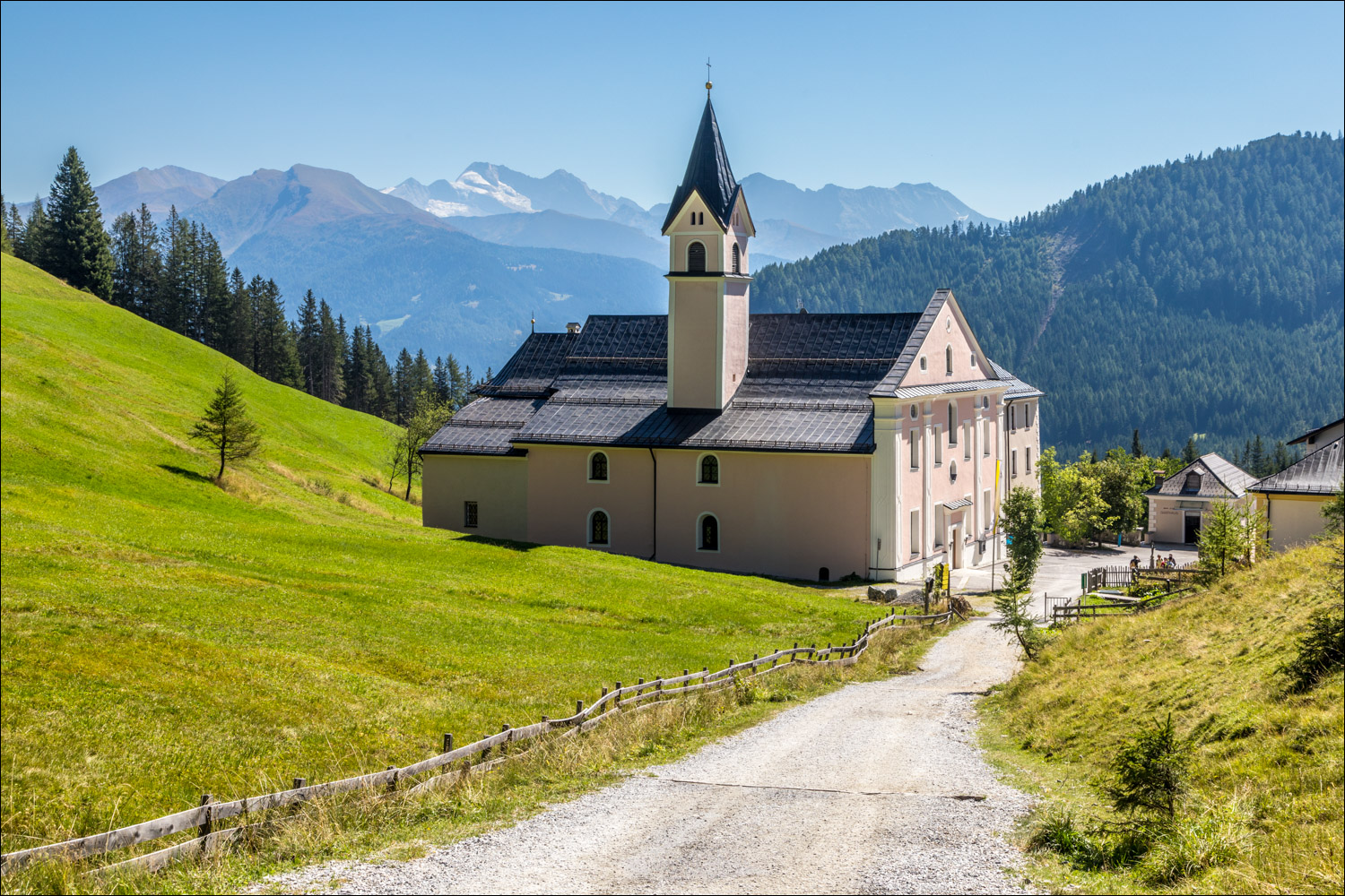
Maria Waldrast is one of Tyrol’s oldest Virgin Mary’s pilgrimage sites. In 1407, (according to legend) two young herdsmen found a miraculous image of the Virgin Mary on the site of the monastery. This was taken as a sign to build a chapel here, at an elevation of 5,383 feet above sea level. The construction of the church began in 1622 and this is one of the oldest places of pilgrimage in the Tyrol and one of the highest anywhere in Europe
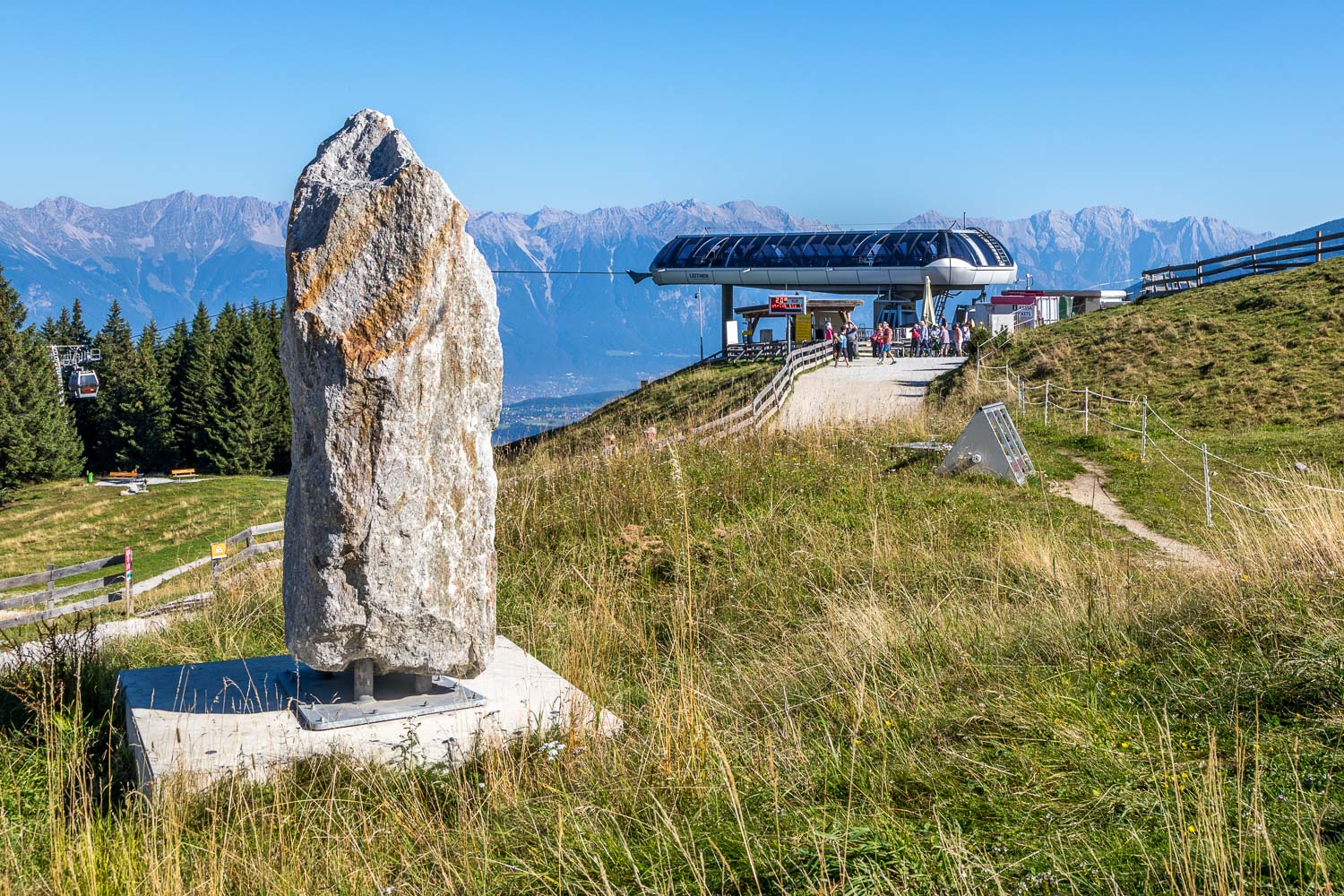
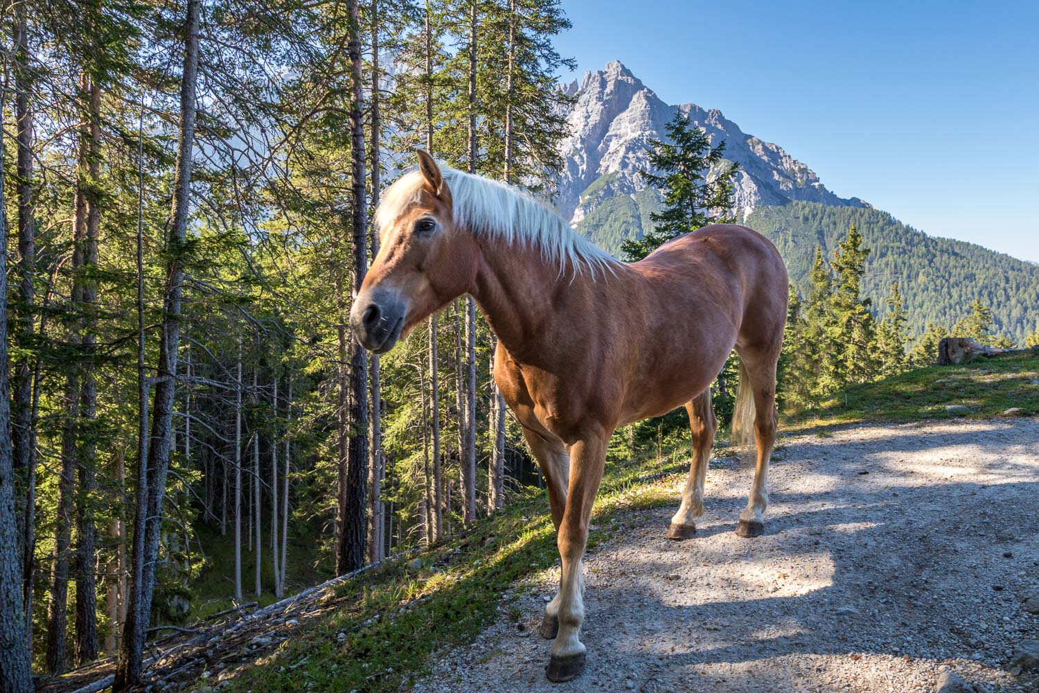
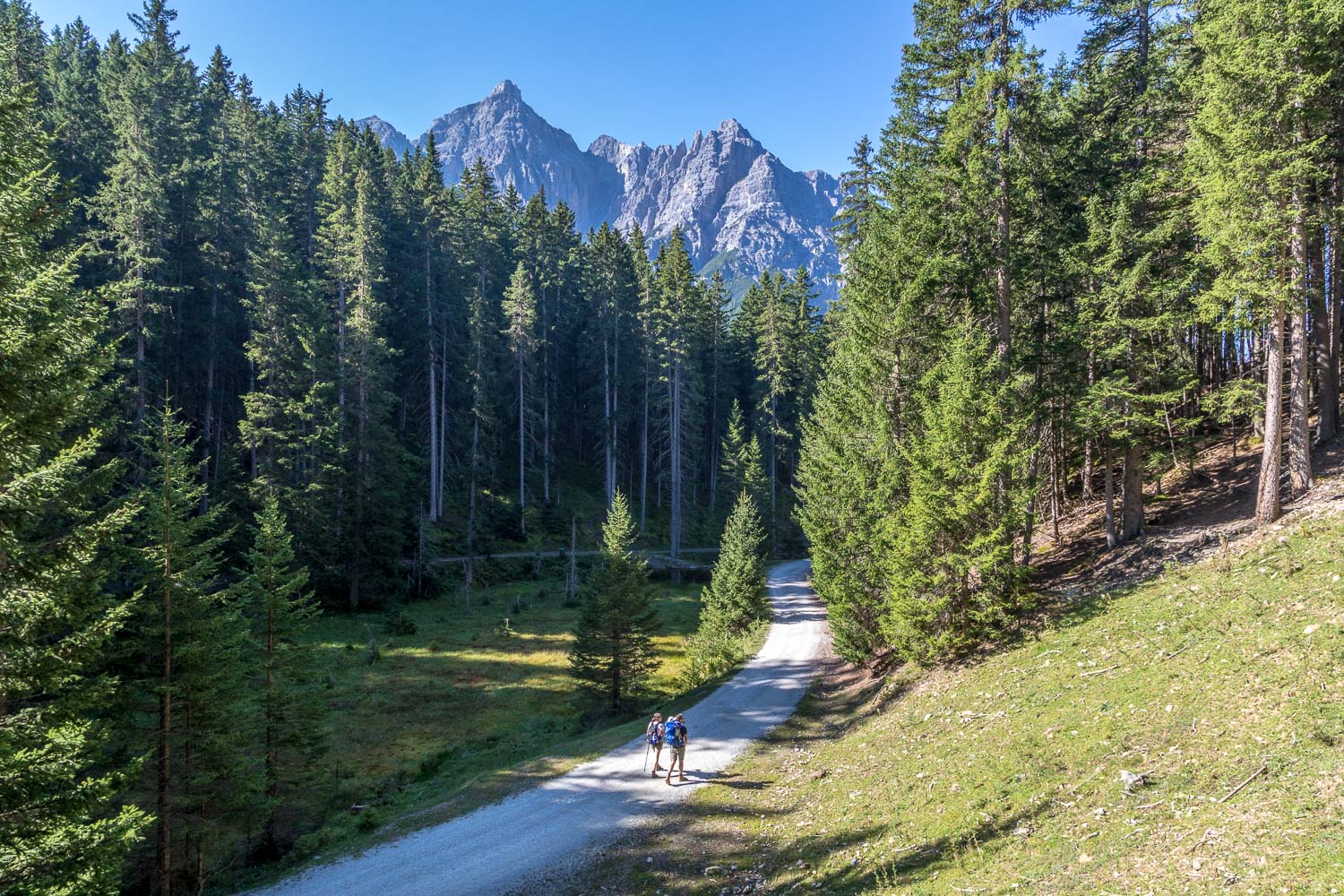
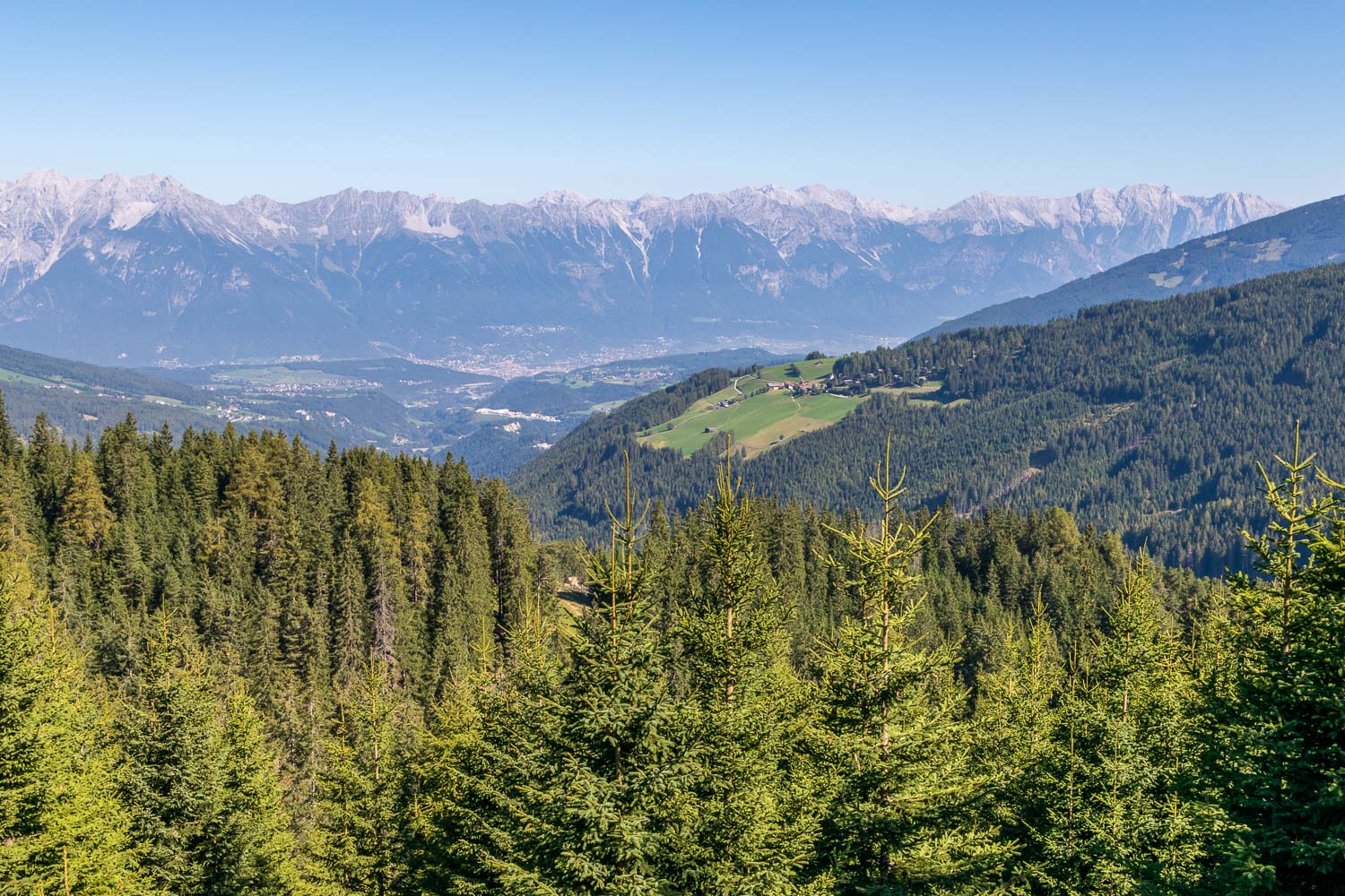
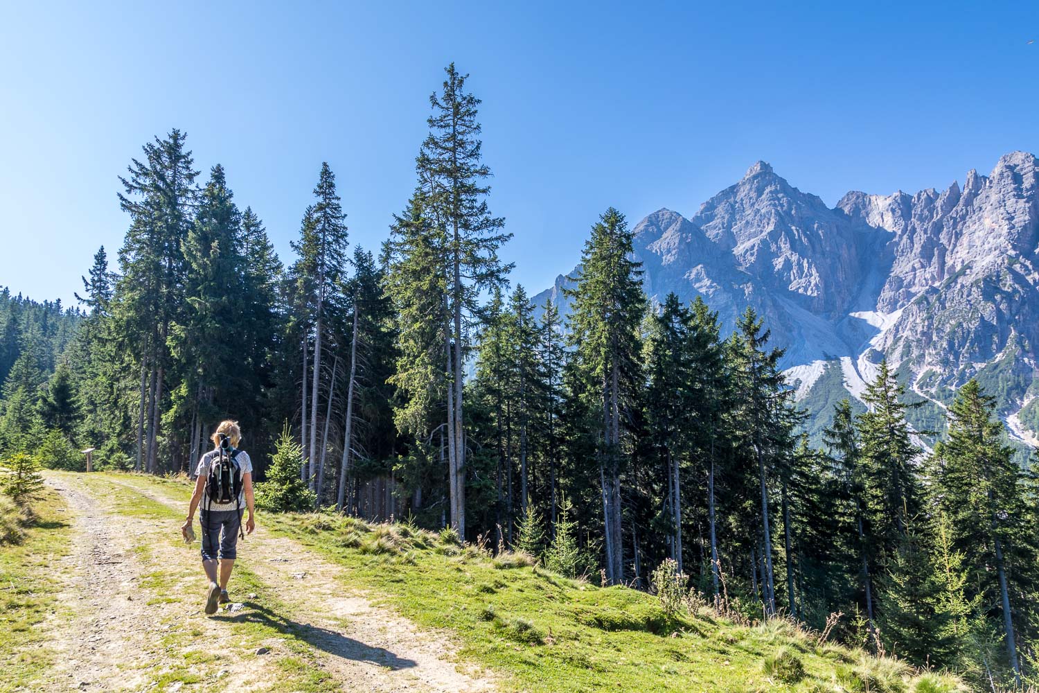
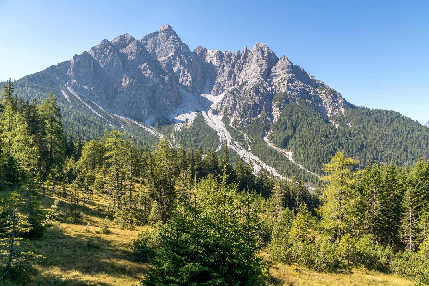
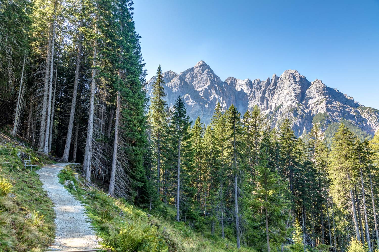
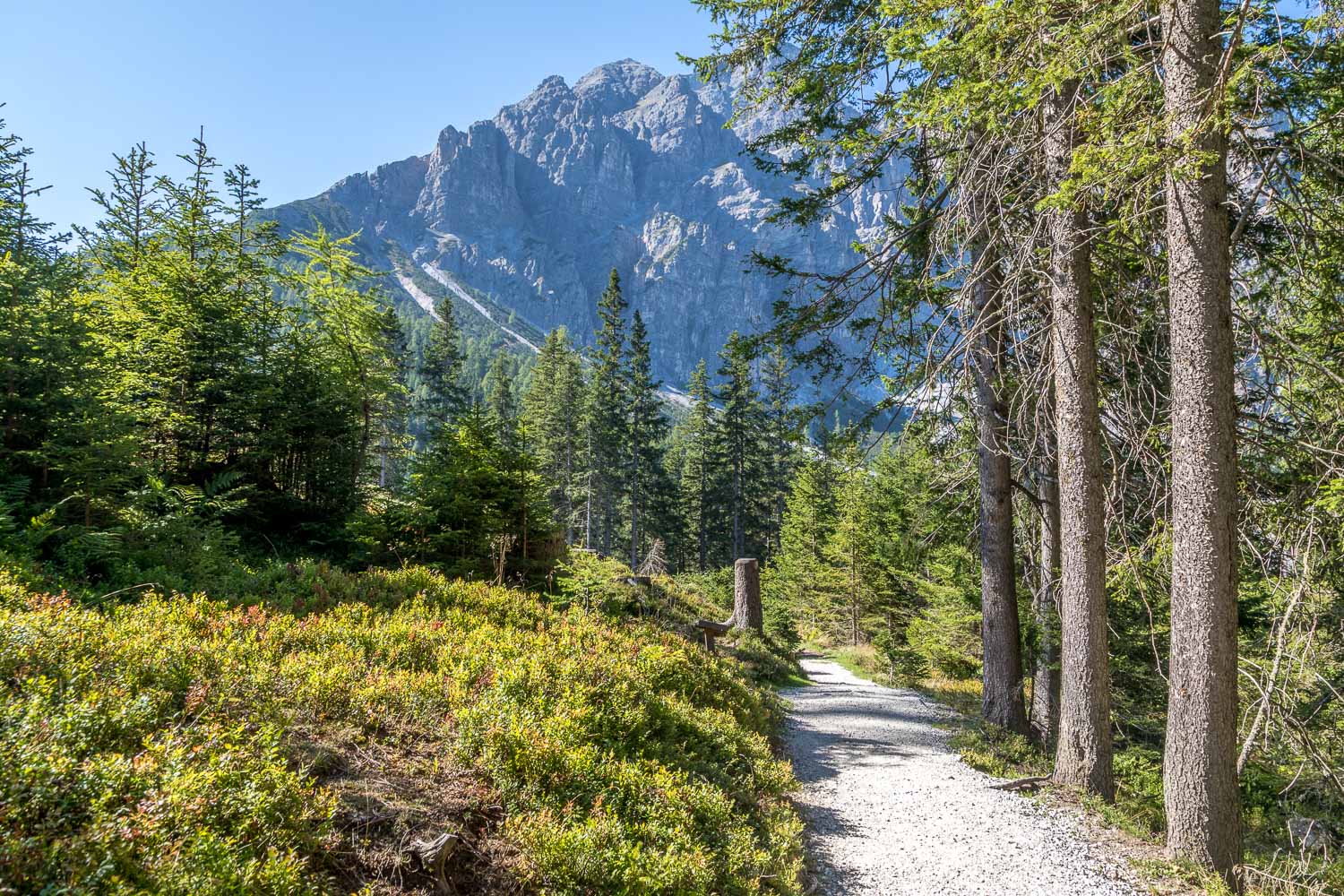
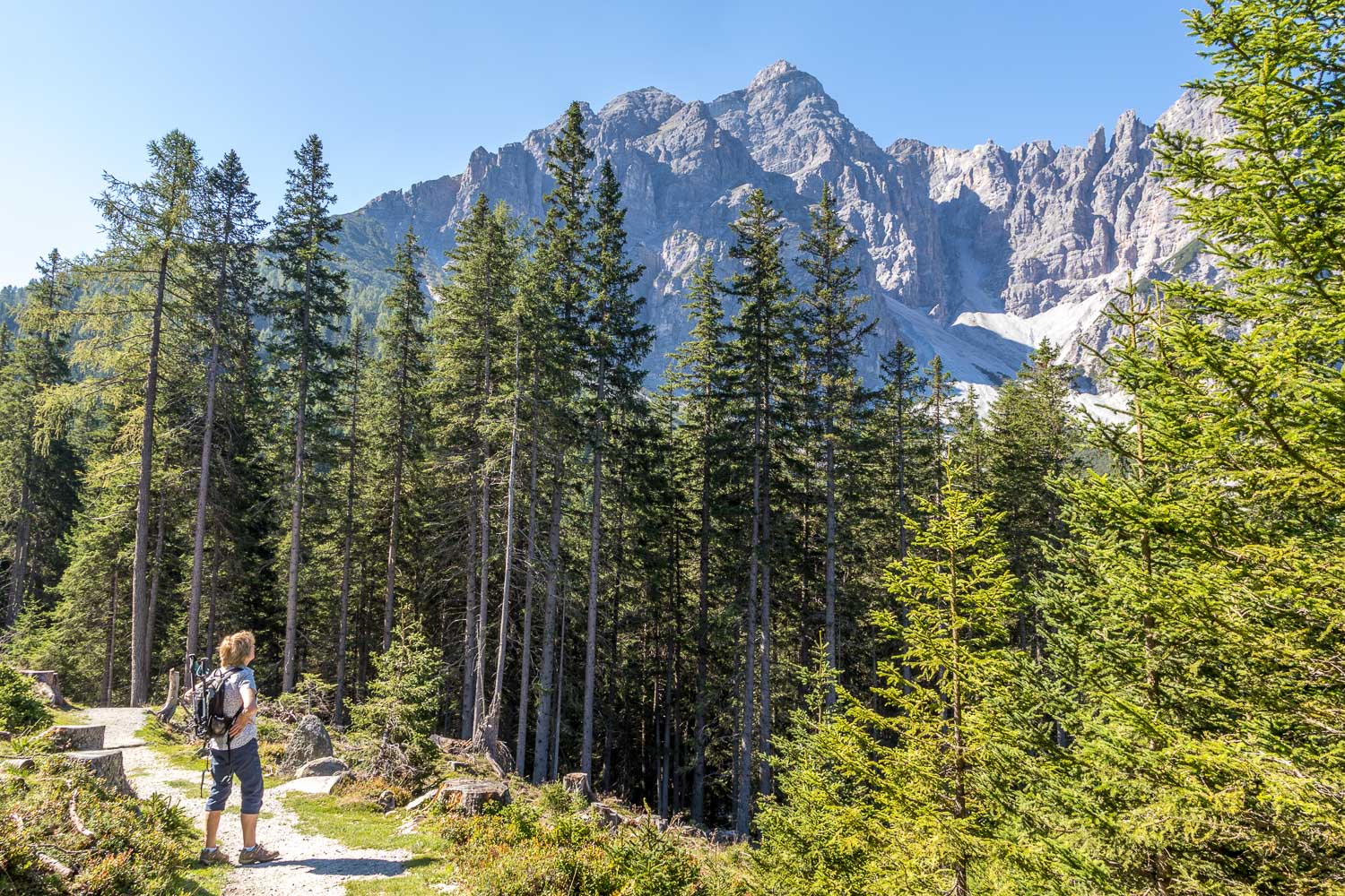
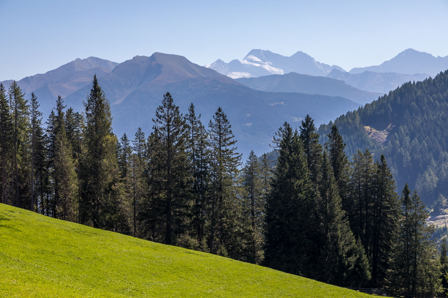
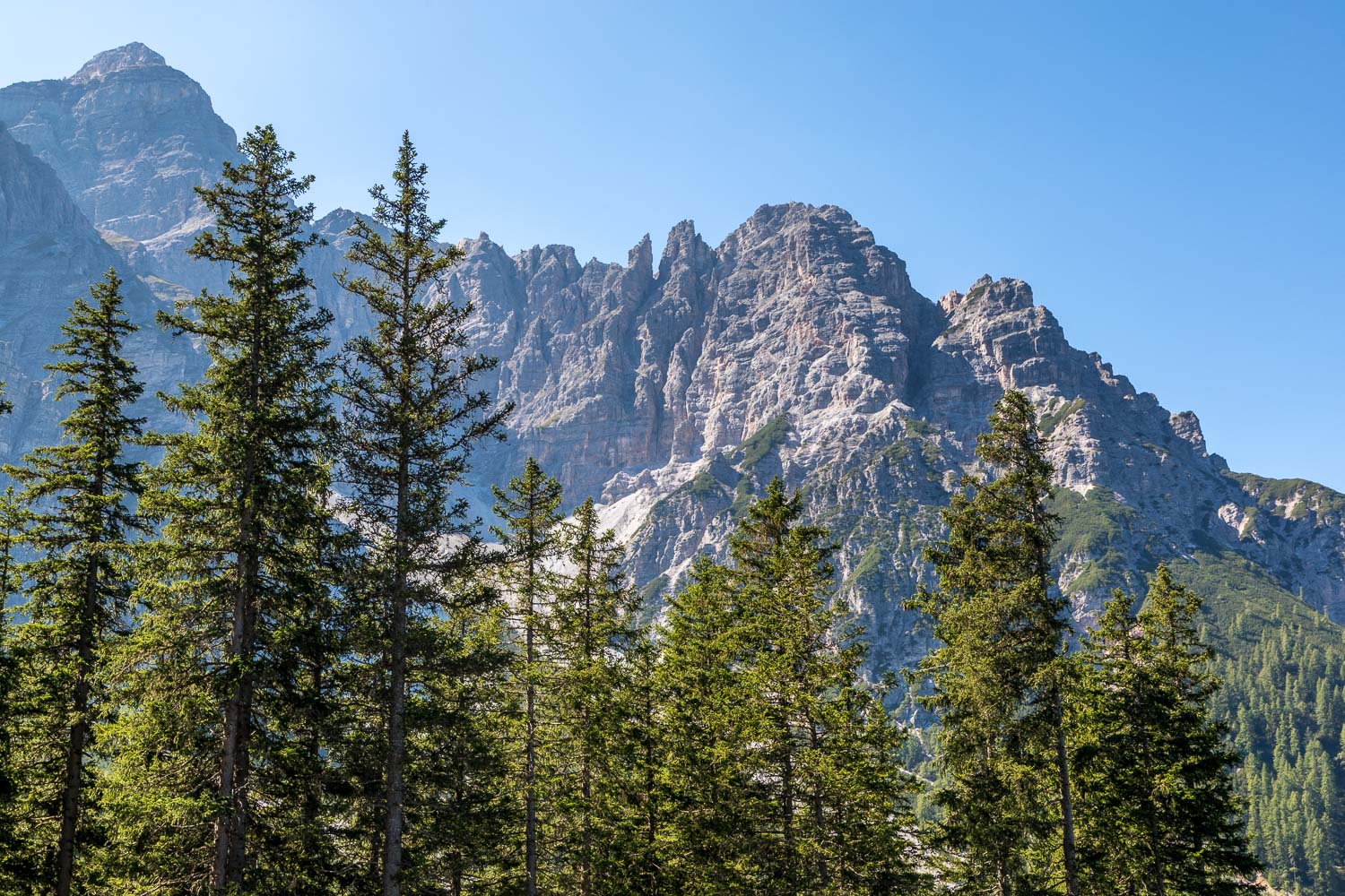
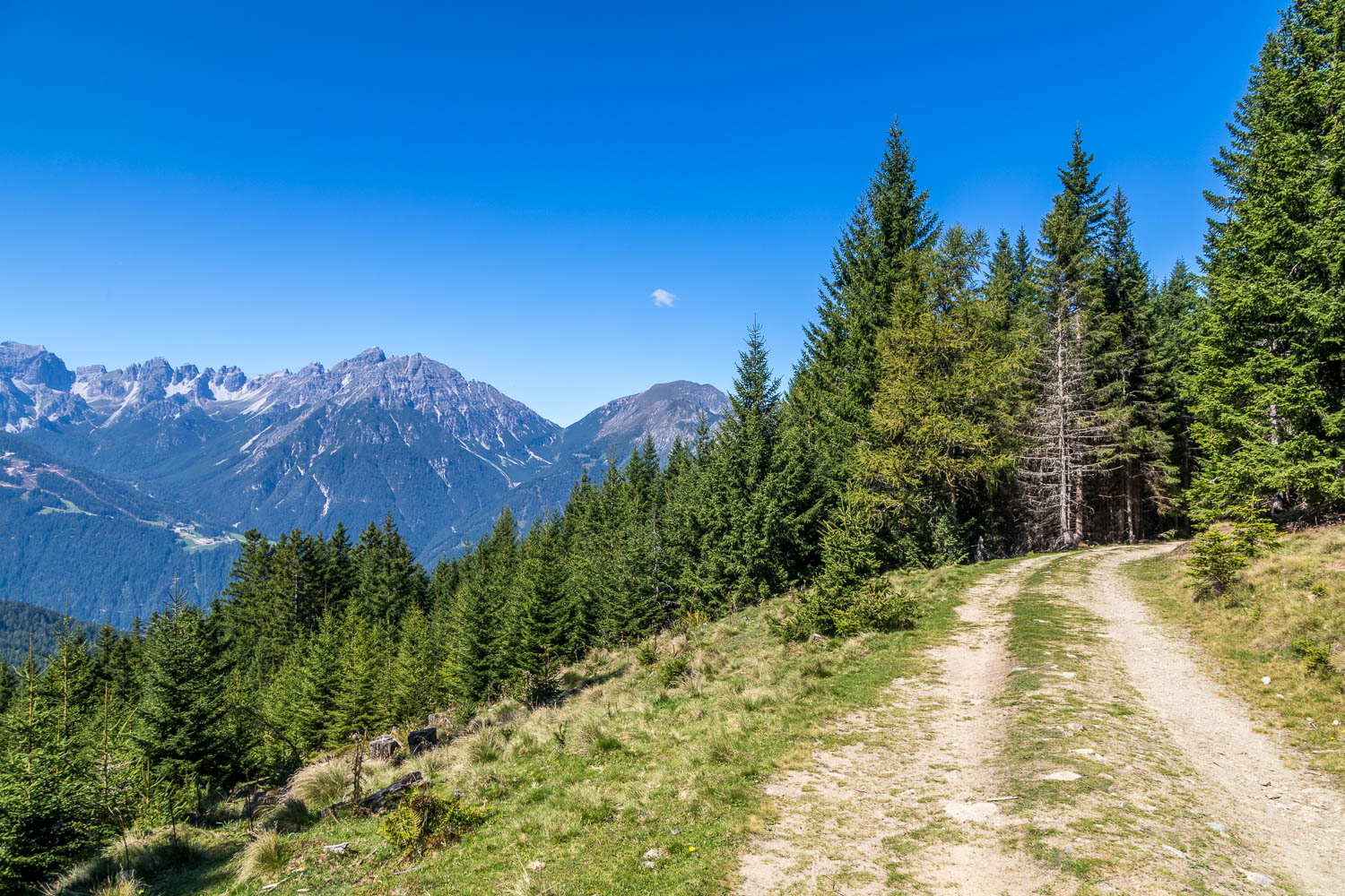
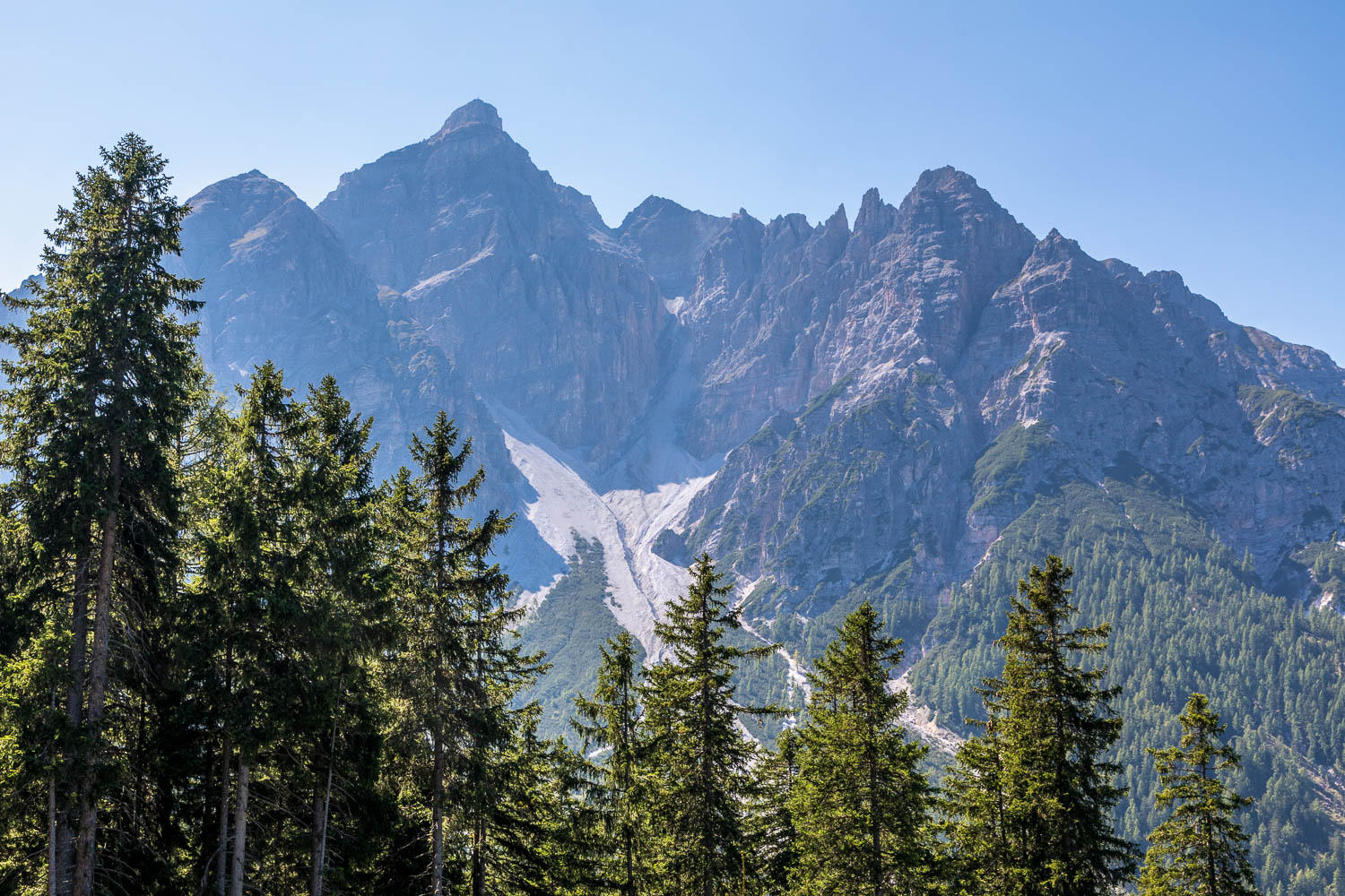
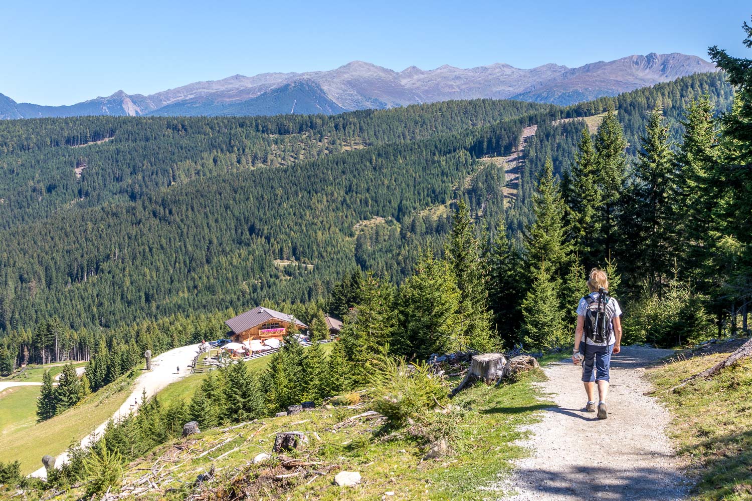
As with yesterday’s walk we were given a leg up to the start courtesy of the Serlesbahn cable car, which is stationed in the village of Mieders. After an entertaining ride, with wonderful views back across the Stubai Valley, we alighted at an altitude of over 5,000 feet. A multitude of paths radiate away from the top of the station and after some initial confusion we found the correct path, which is initially a wide gravel path. We left this to follow a narrow path which followed an undulating course through woodland with some spectacular views, particularly those of Serles, a dramatic jagged pyramid of rock towering up over 9,000 feet
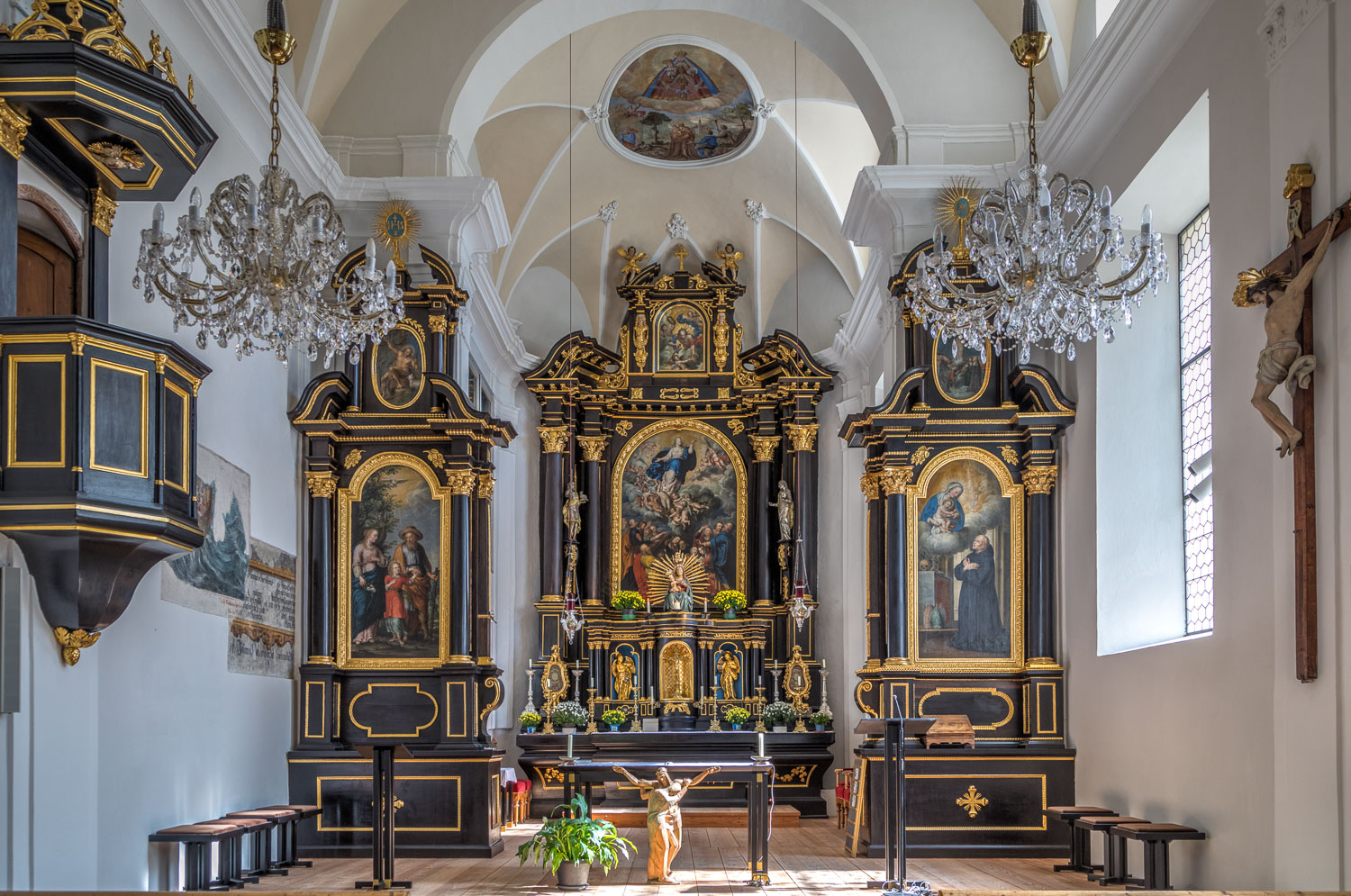
After about one and a half hours we arrived at Maria Waldrast Monastery, set in a wonderful position with high alpine peaks all around. The church is surprisingly large, and is part of a complex including a small chapel and a restaurant. Suitably refreshed by ice cold beers at the restaurant, we retraced our steps back to the start. Along the way it was a thrill to see a golden eagle soaring above our heads, a great end to an enjoyable walk
For anyone looking to avoid the walk back, there’s a ‘land train’ which runs between the monastery and the cable car station. Instead of taking the cable car back down, a more adventurous option is to take the ‘summer toboggan’ which runs on a small monorail. We declined both options for different reasons
Click on the icon below for the route map
Scroll down – or click on any photo to enlarge it and you can then view as a slideshow
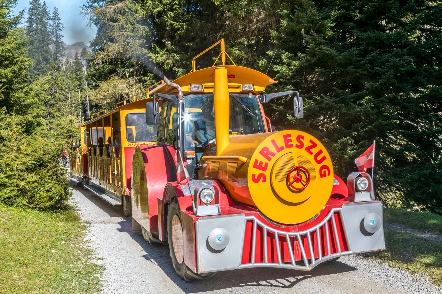
As we approach Maria Waldrast we make way for the Serleszug, or road train, which plies its trade between the start and finish of the walk (using a different route to ours thank goodness). There are 5-6 trips per day in season
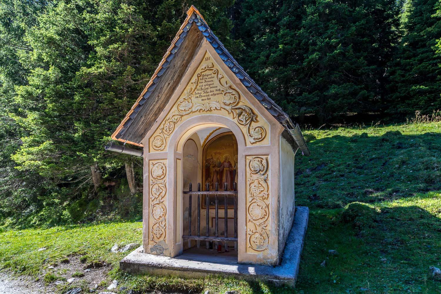
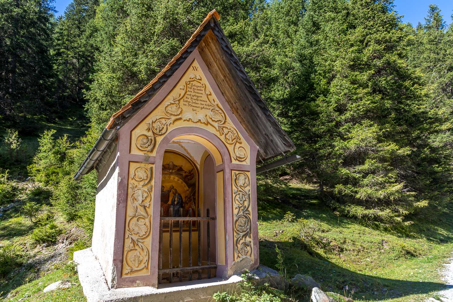
A reminder that this is a pilgrim trail as we pass by a couple of small chapels before the Maria Waldrast Monastery....
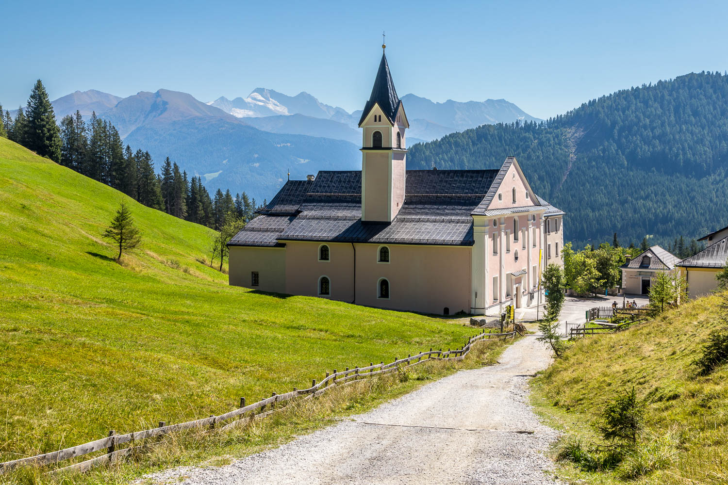
The end of our 'pilgrimage' as we arrive at the Maria Waldrast complex, where there is a surprisingly large church, a small chapel, a gift shop and a restaurant
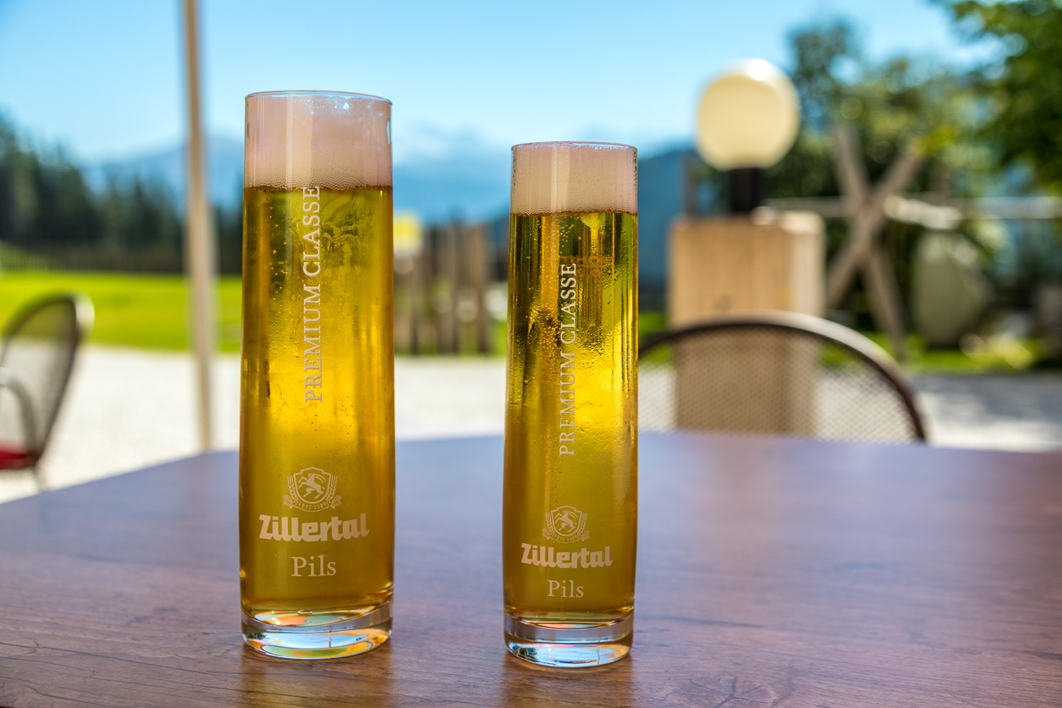
It seems rather sacrilegious to post a photo of our refreshments at the adjacent restaurant, but it was a scorchingly hot day and needs must
