Route: Loughrigg Fell
Area: Central Lake District
Date of walk: 11th November 2021
Walkers: Andrew
Distance: 5.5 miles
Ascent: 1,300 feet
Weather: A few distant patches of sun, but mostly cloudy and overcast
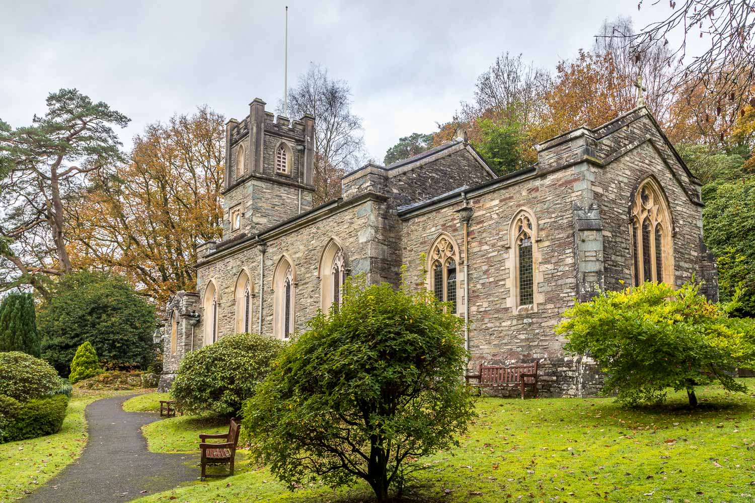
It’s over 5 years since my last visit here and a return was overdue. I parked on the private road beside St Mary’s Church Rydal and paid the requested parking fee, which goes towards upkeep of the gardens. Parking is quite limited so it’s advised to arrive early. There is alternative parking at nearby Pelter Bridge
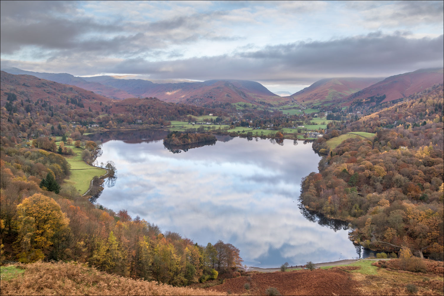
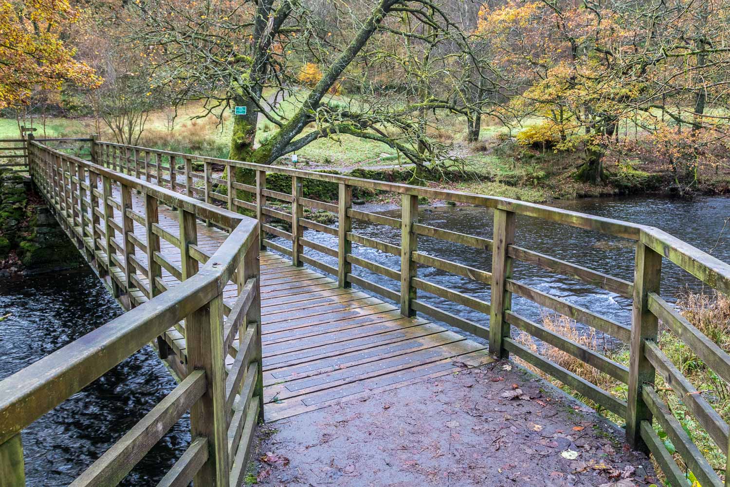
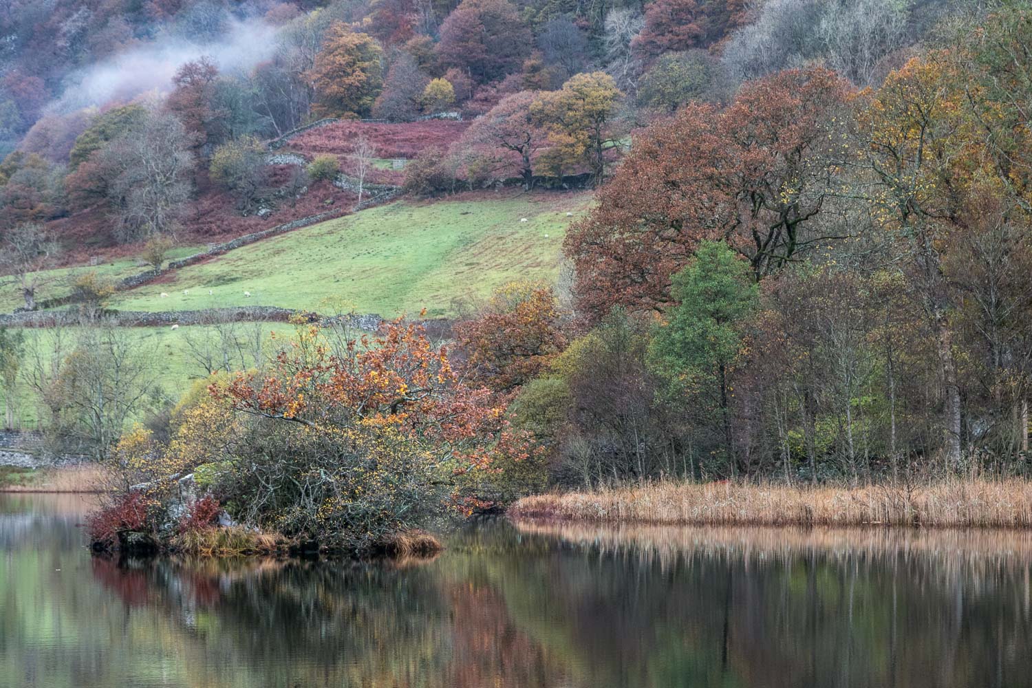
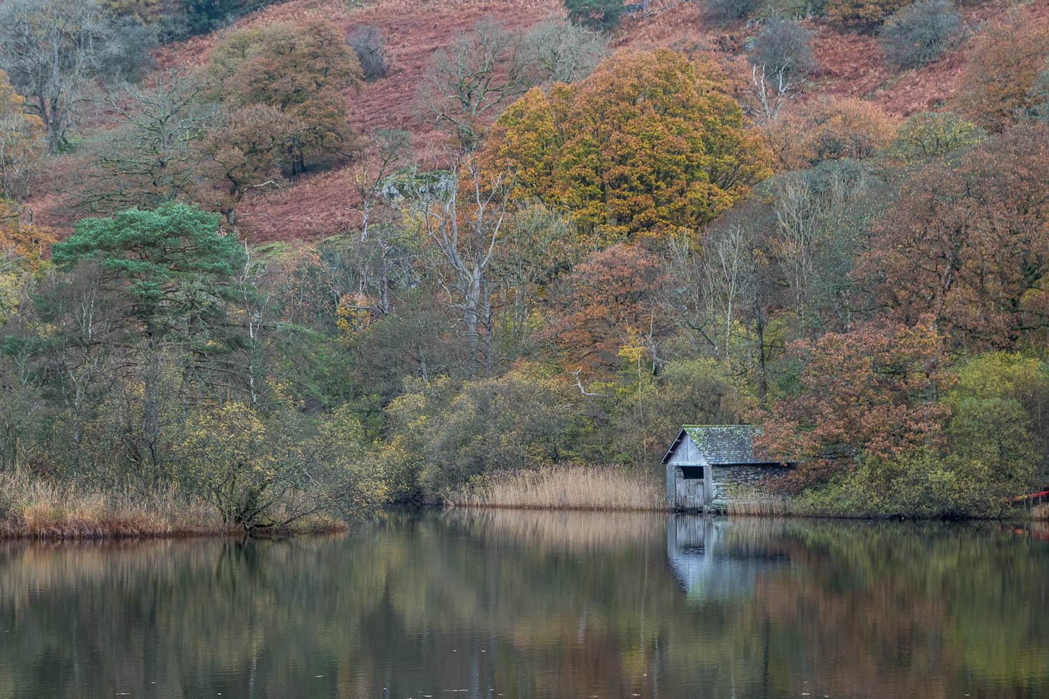
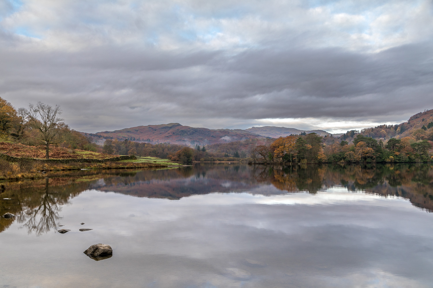
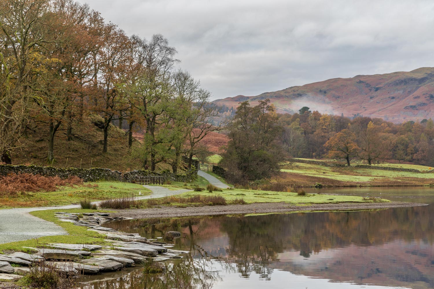
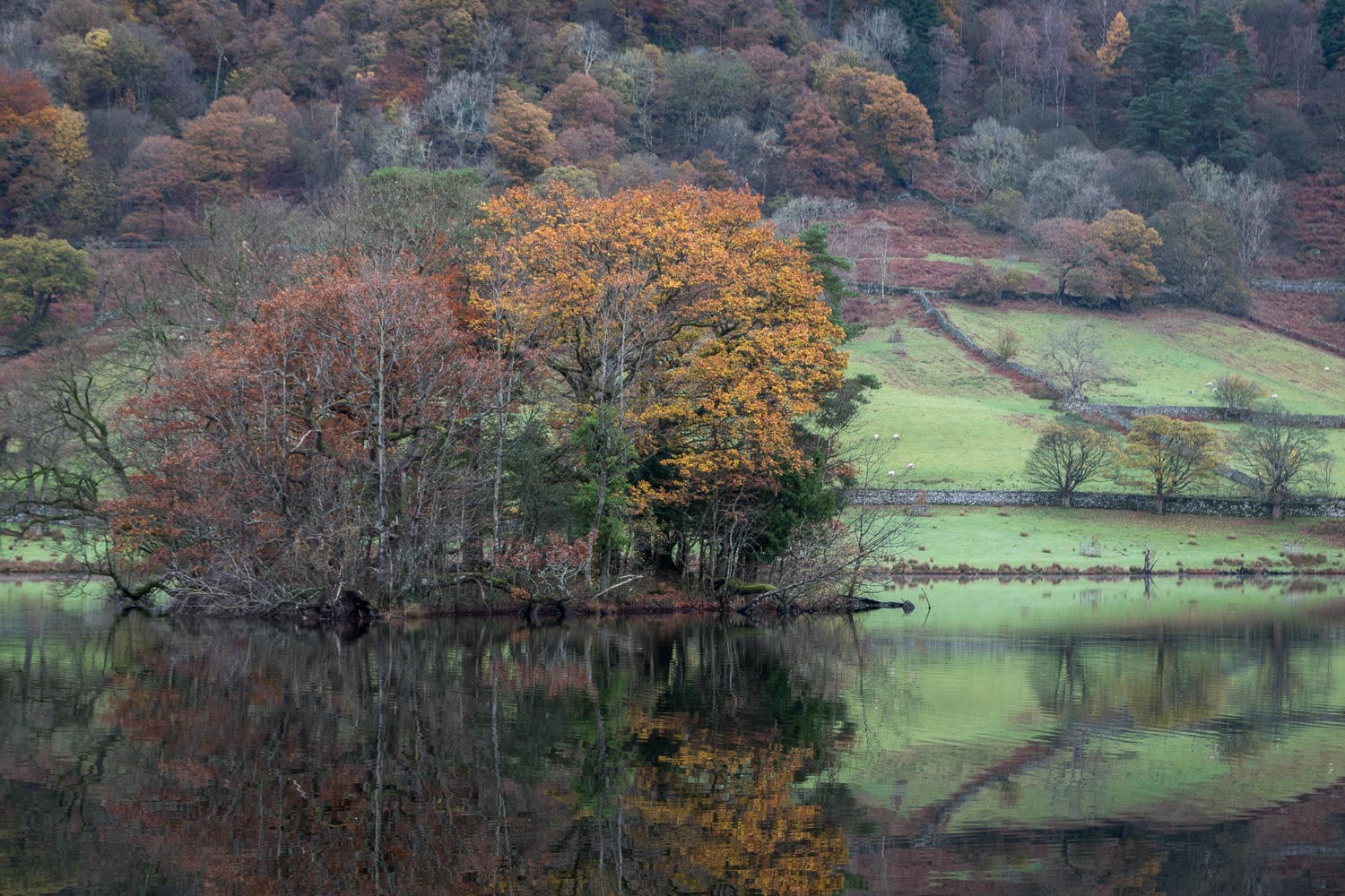
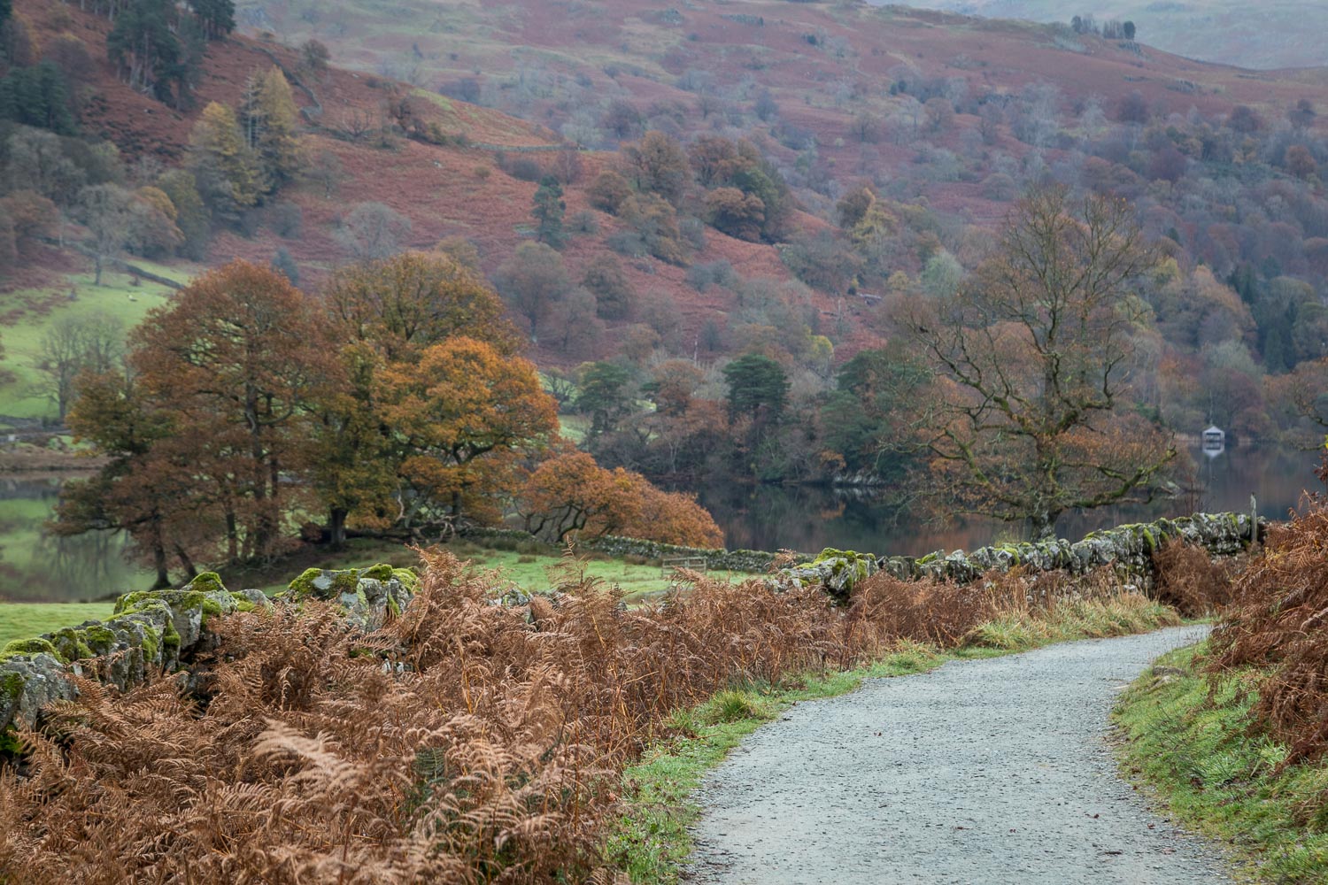
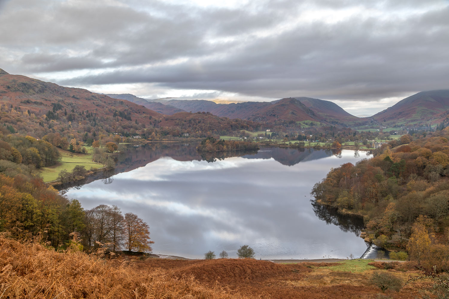
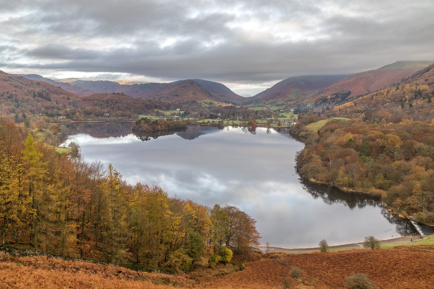
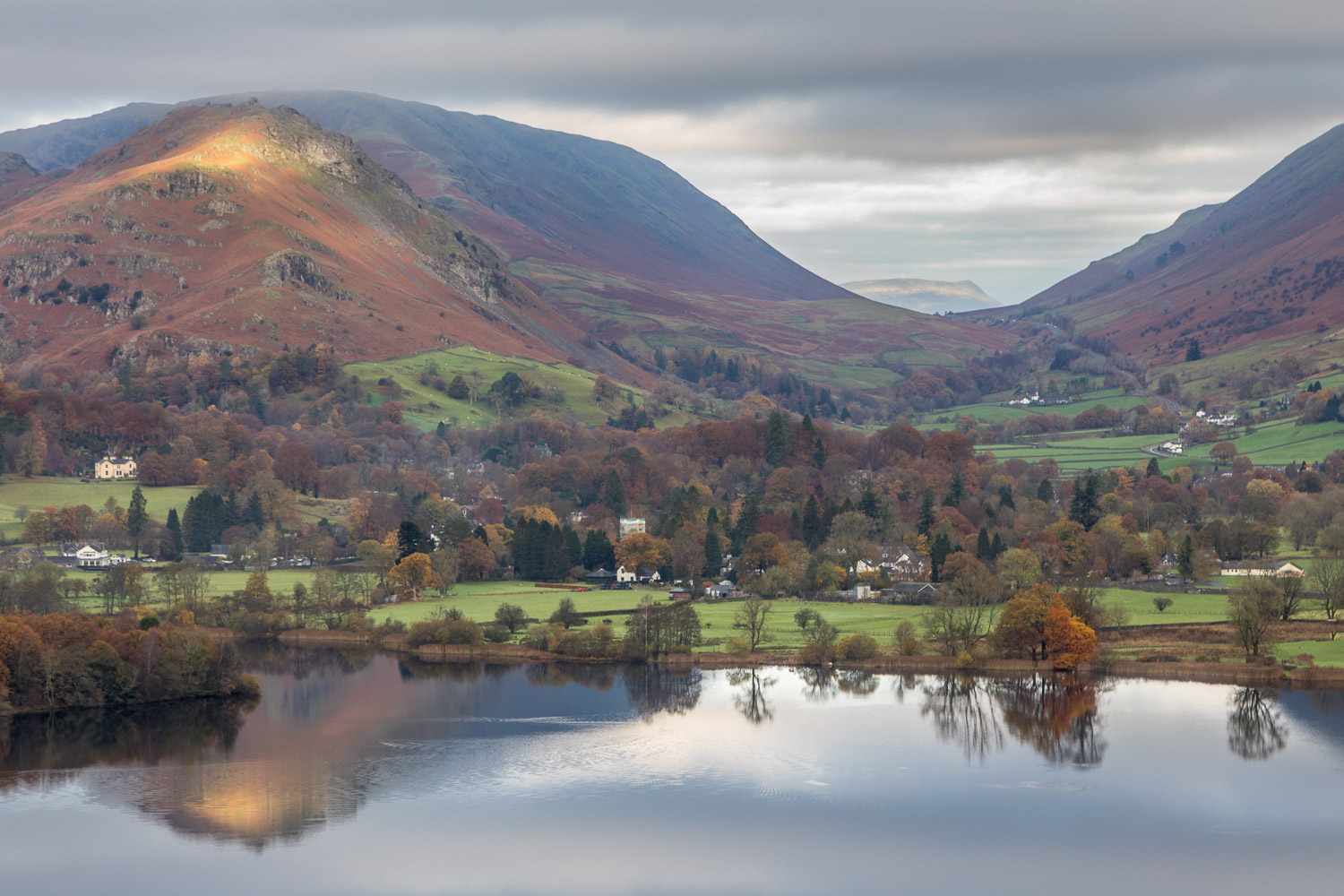
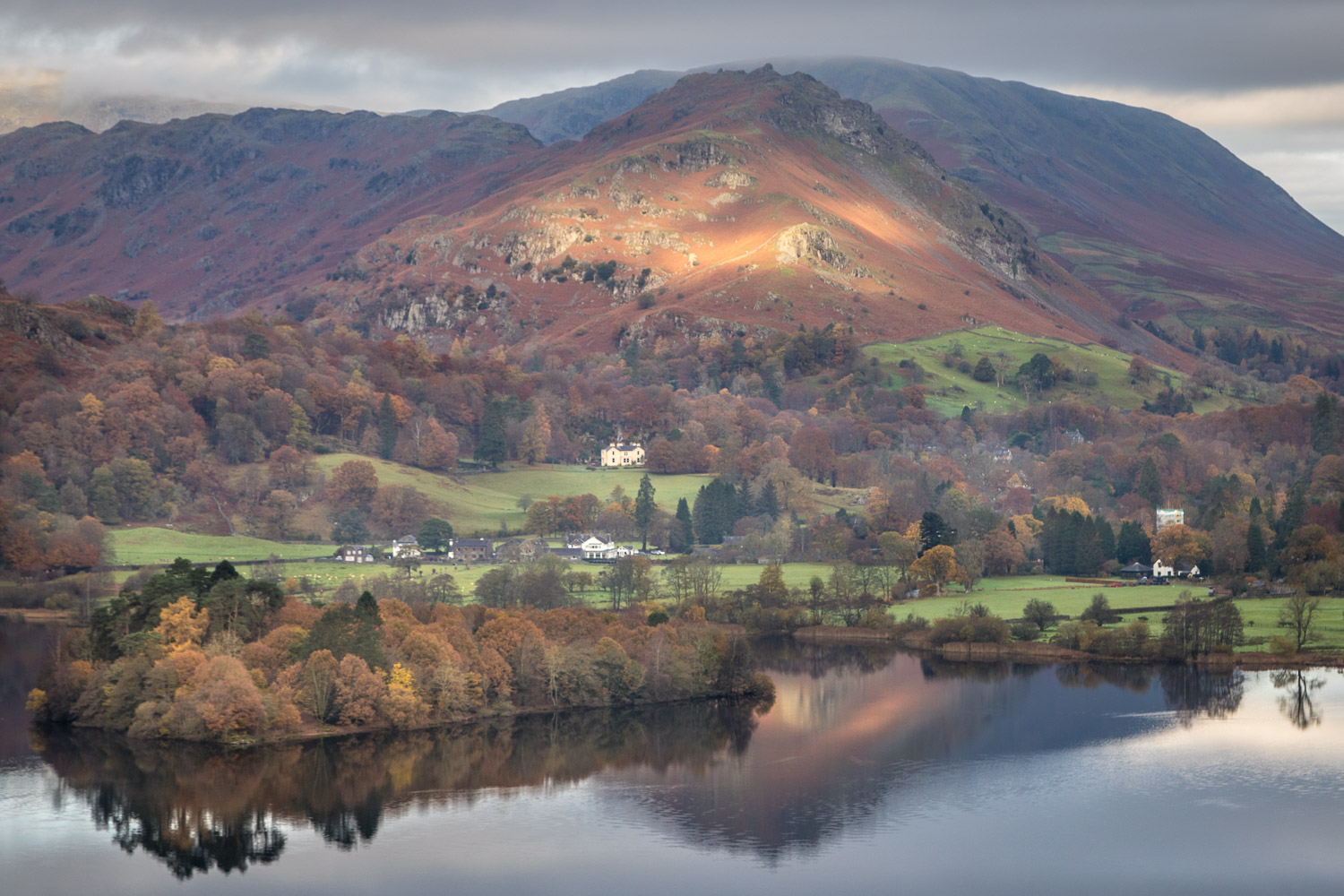
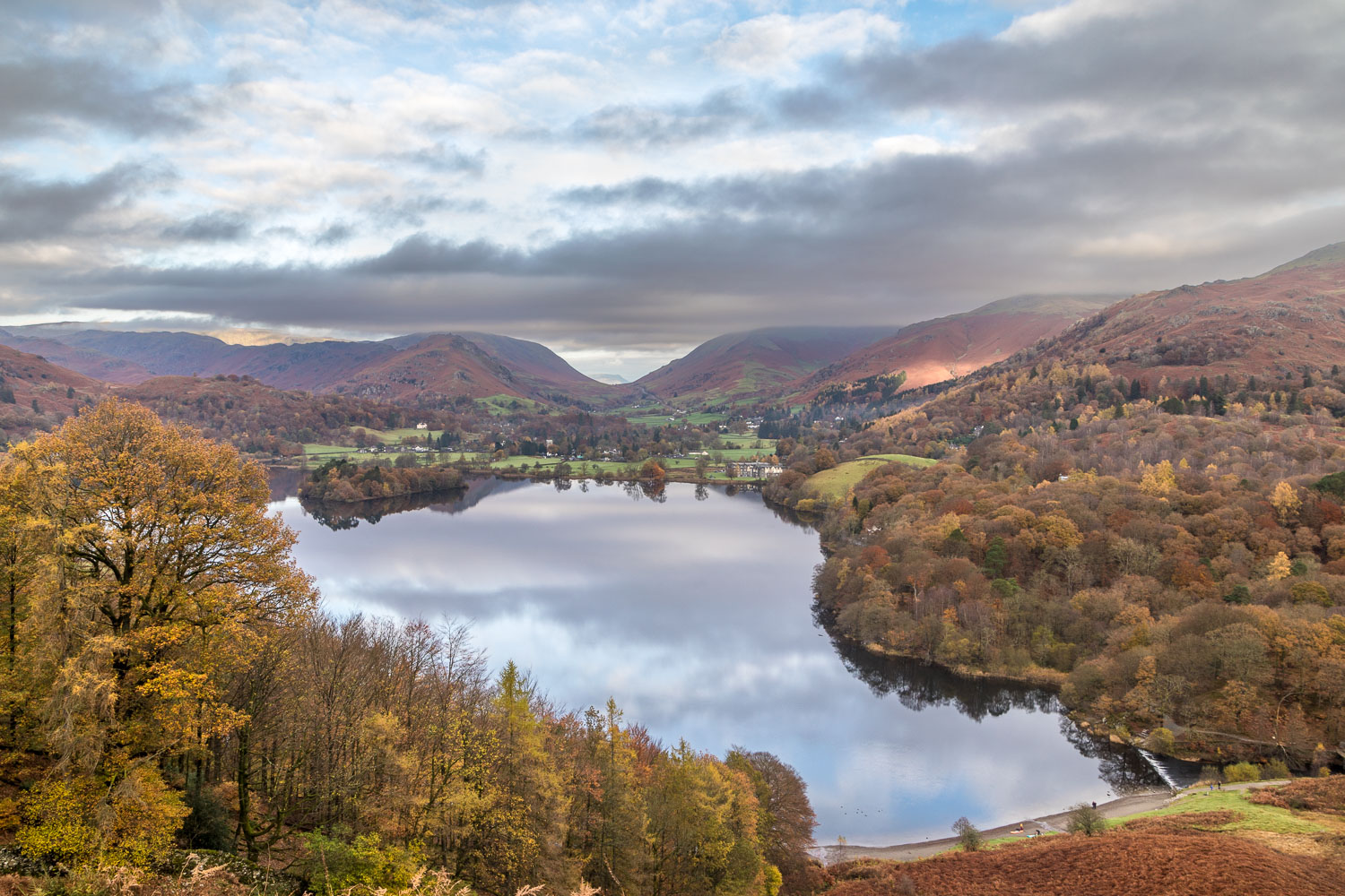
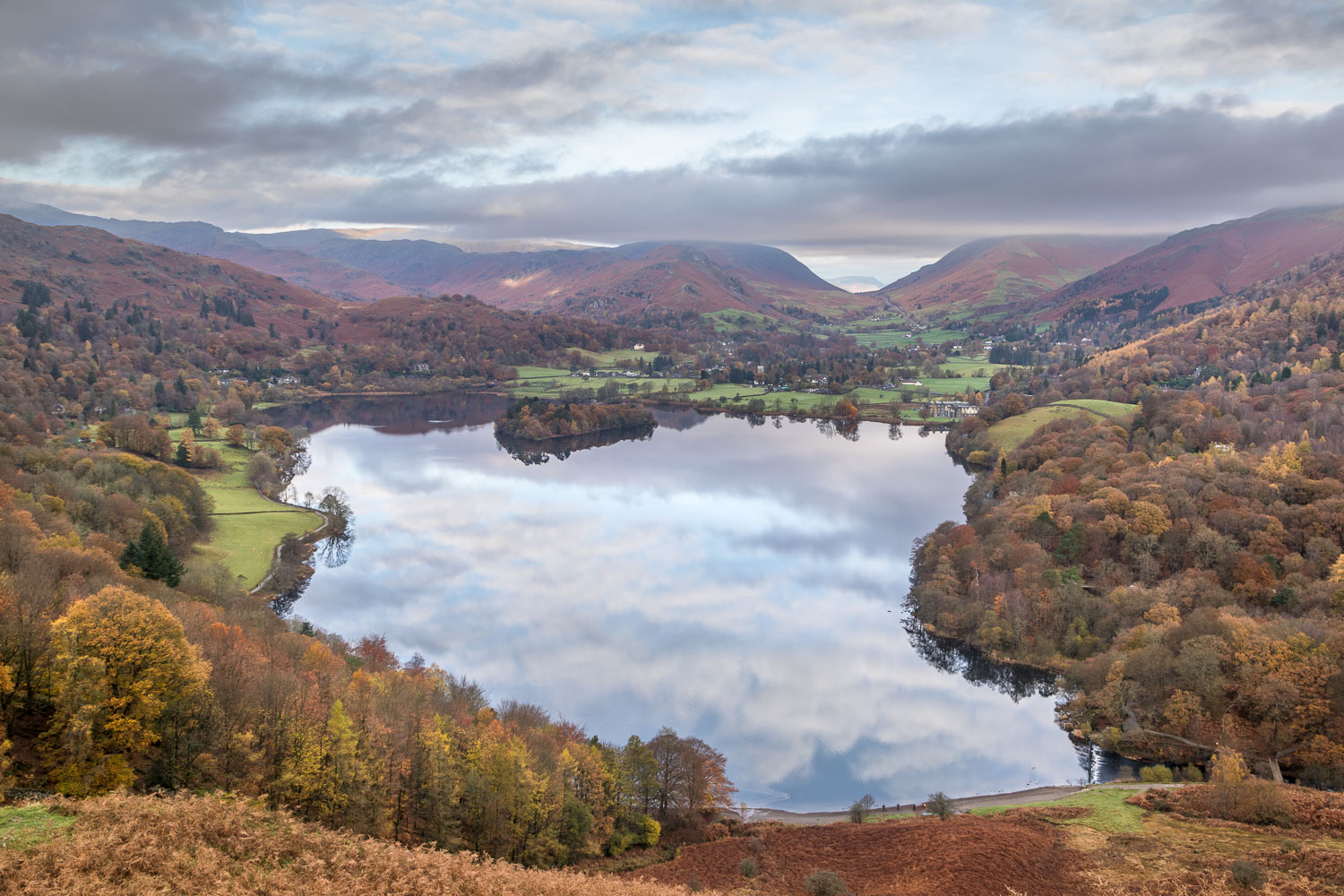
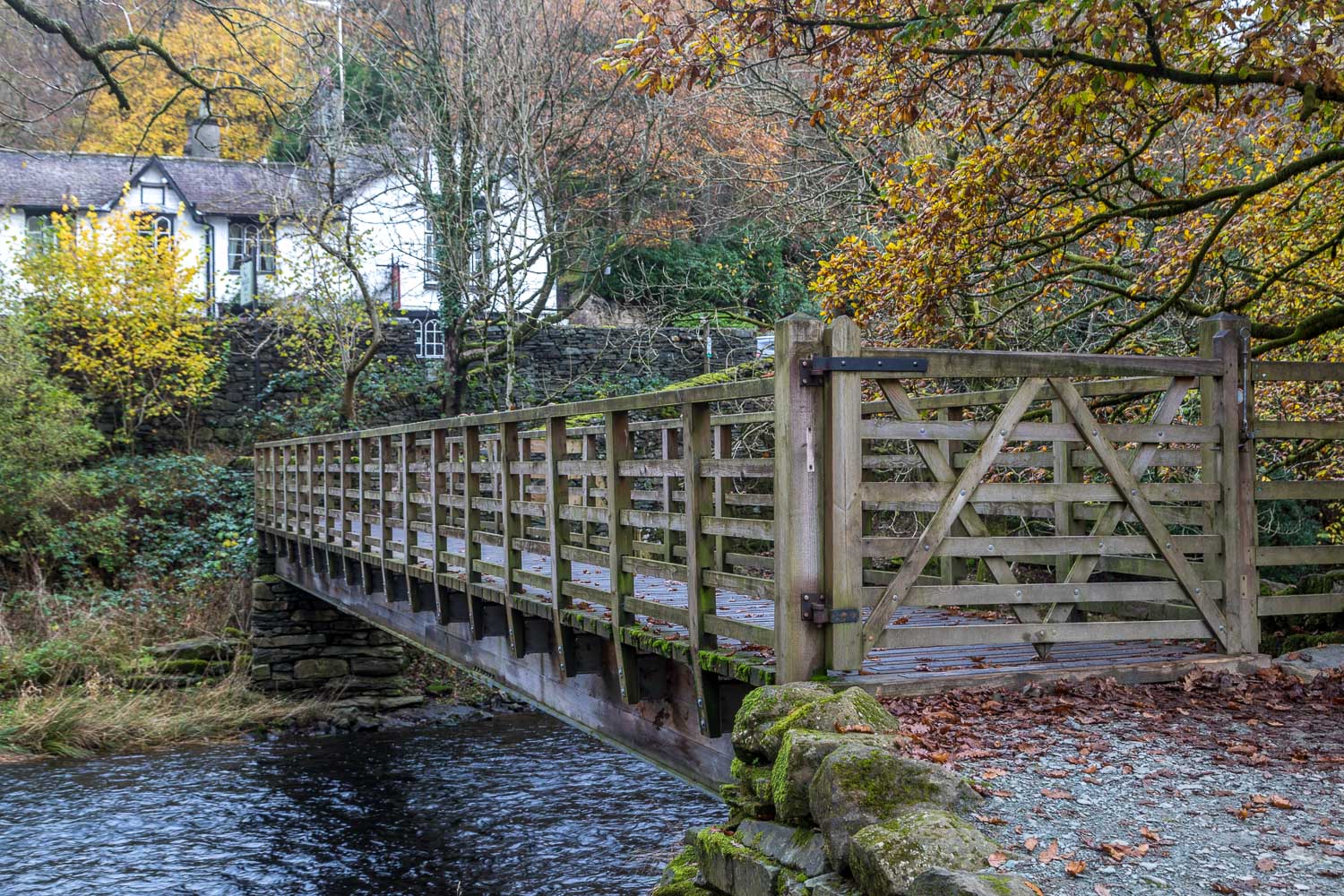
I followed the path beside the A591 for a few yards, heading west, and then turned off to cross the footbridge over the River Rothay. This brought me to the shore of Rydal Water, and I followed the lakeshore path to Loughrigg Terrace, a classic vantage point with views over Grasmere
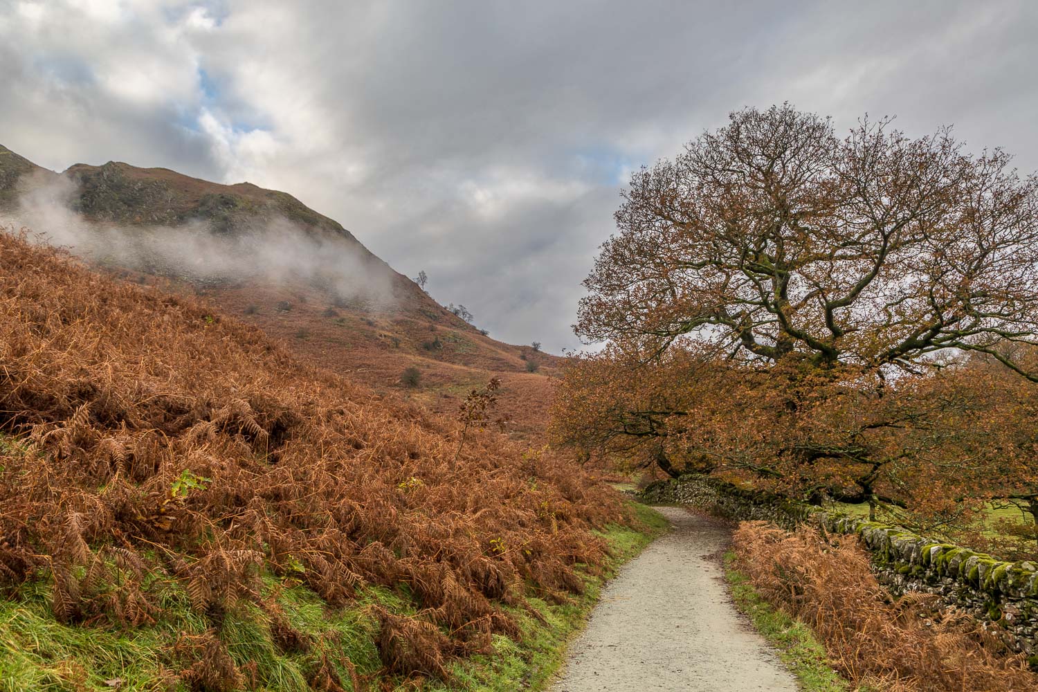
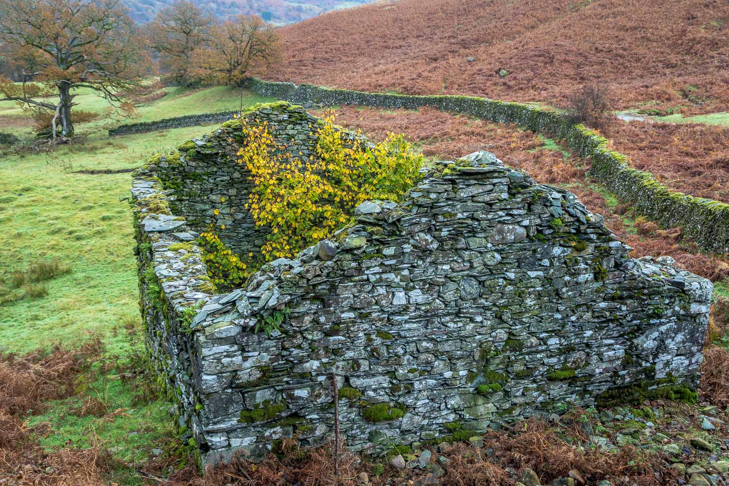
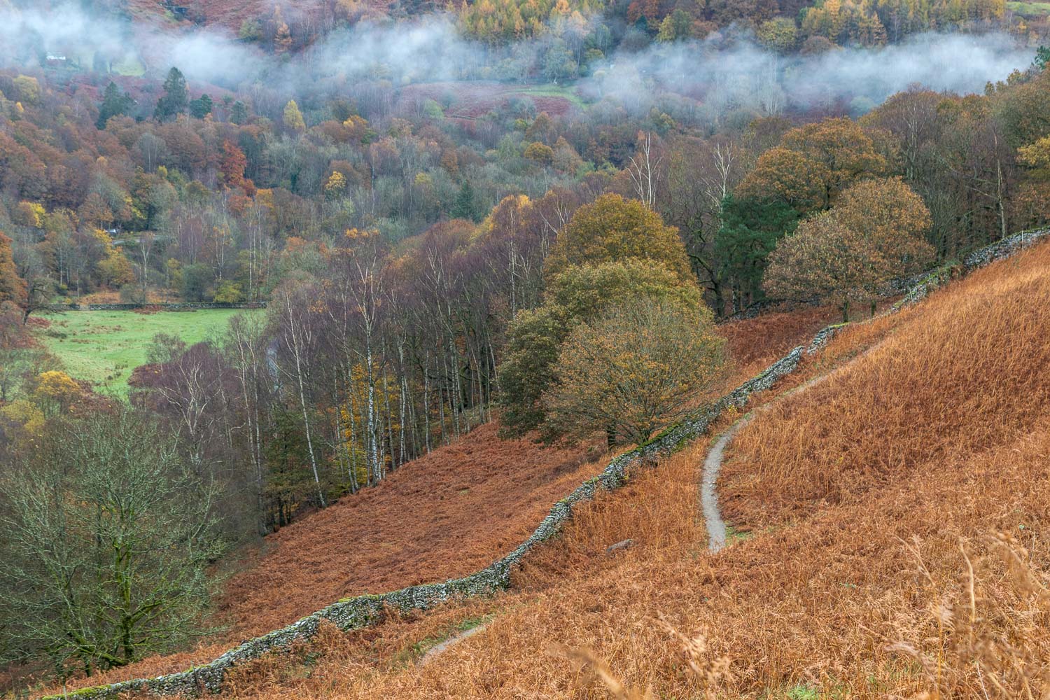
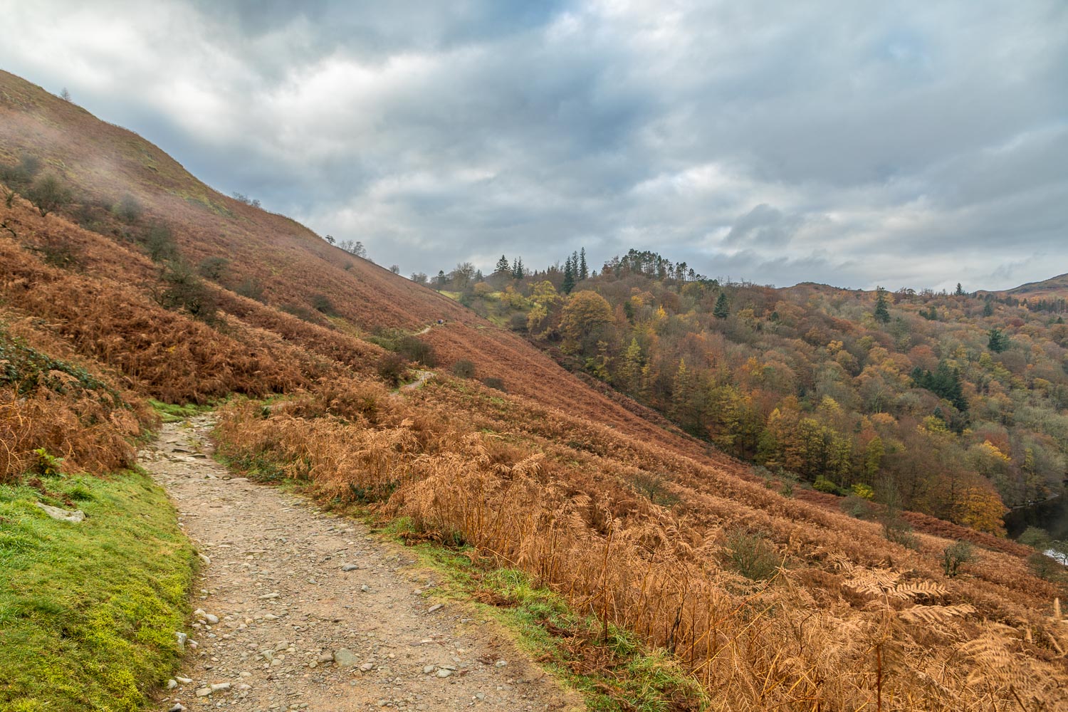
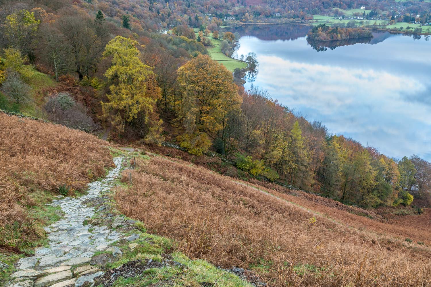
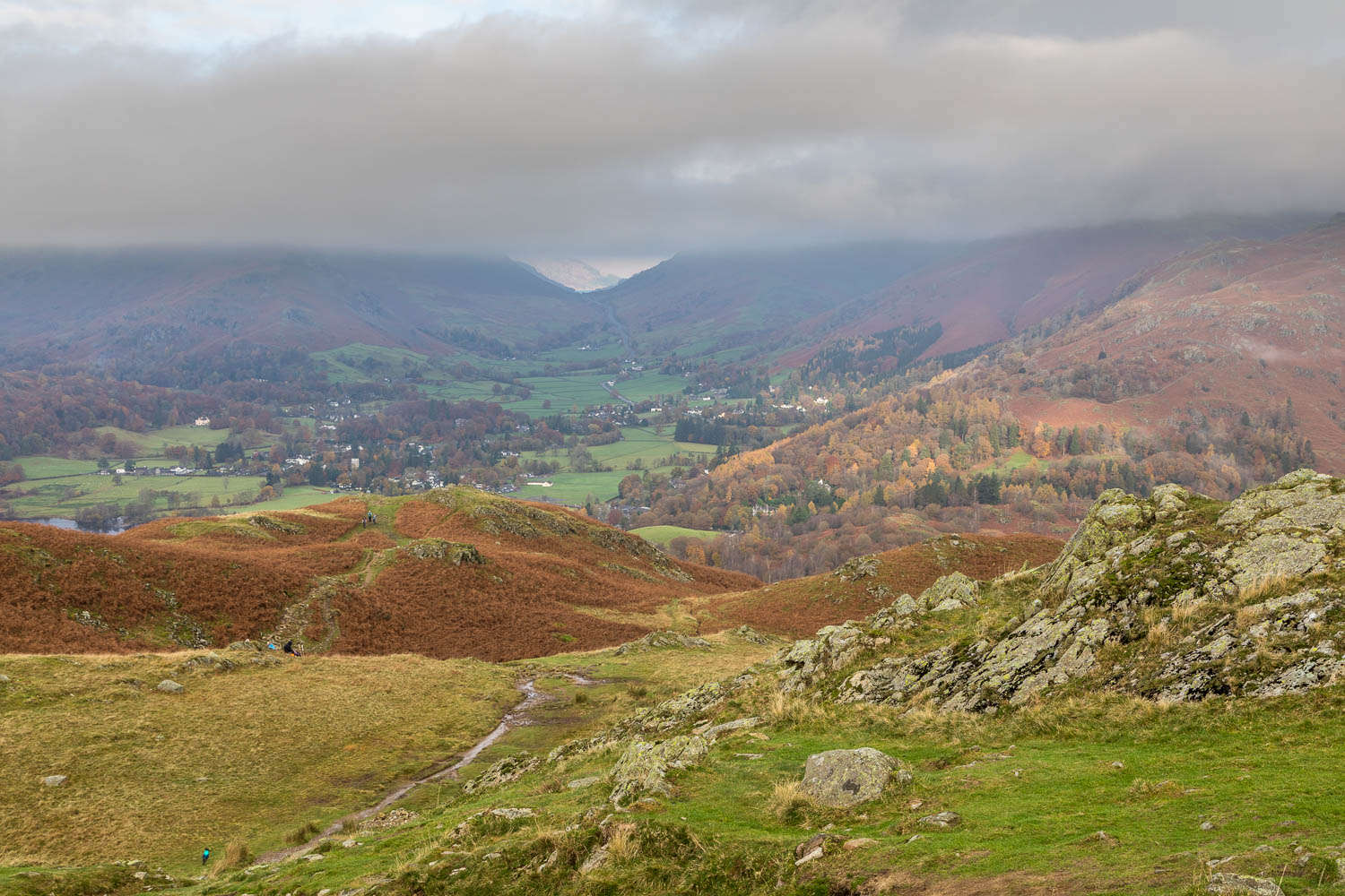
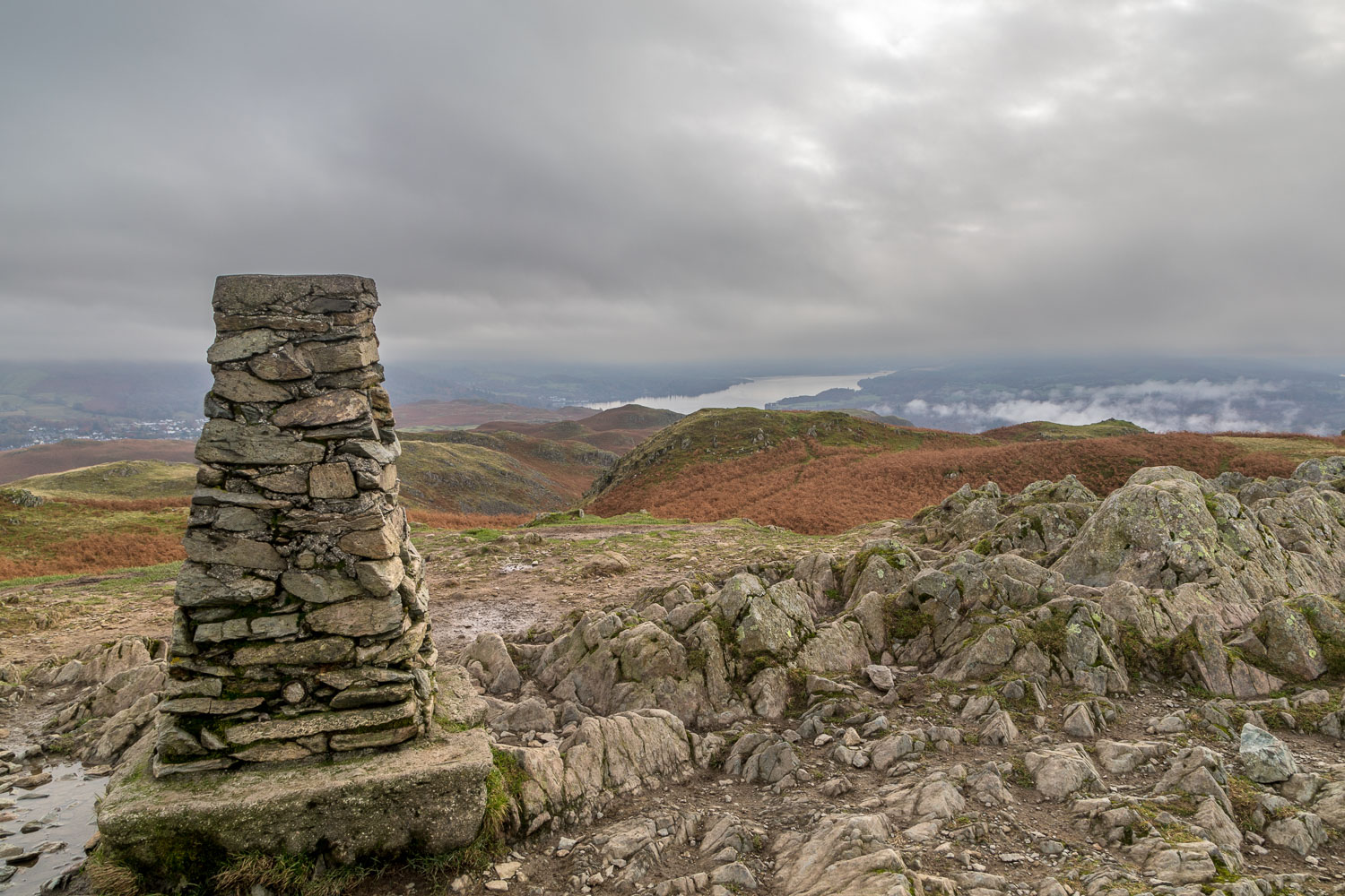
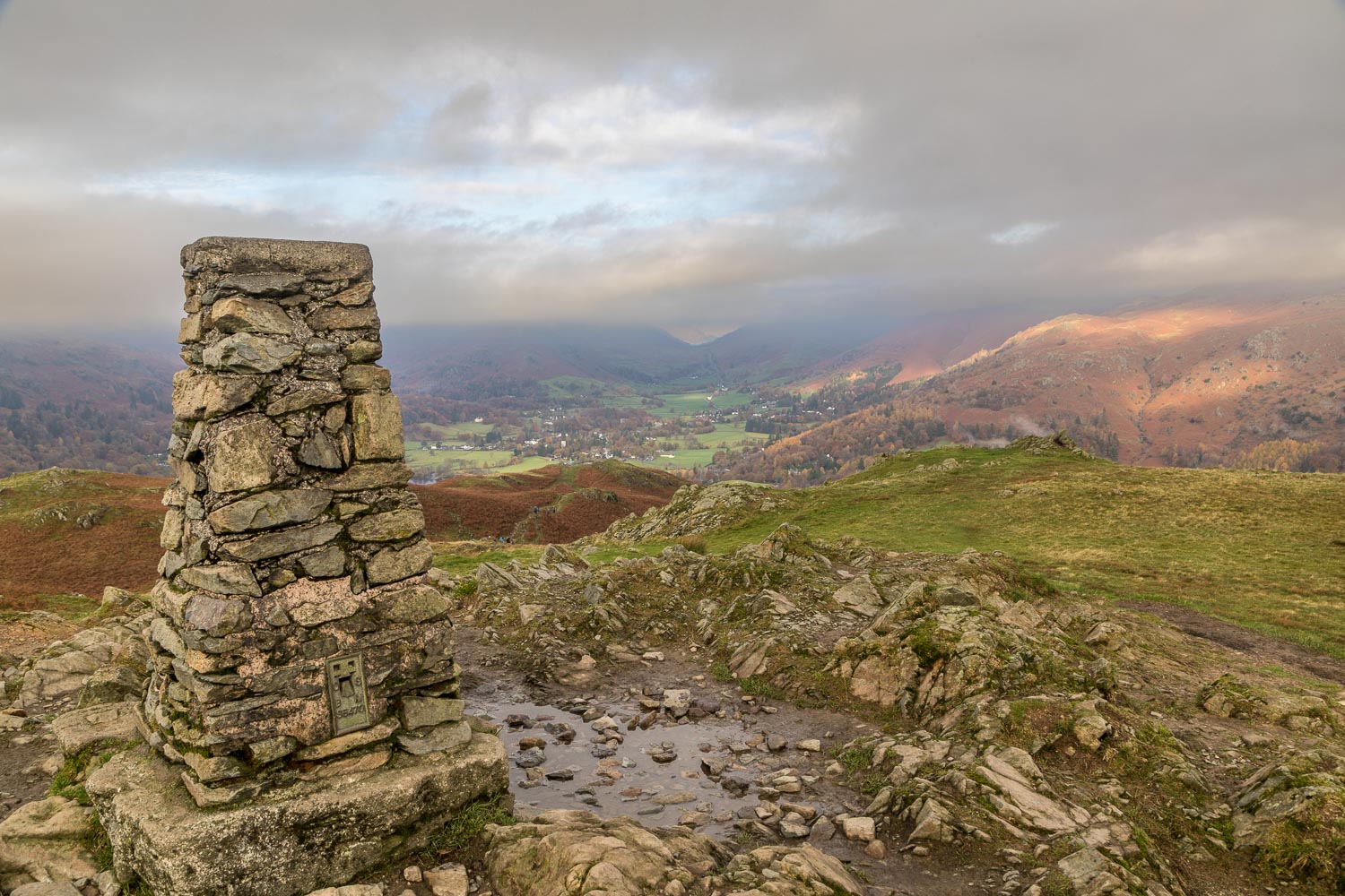
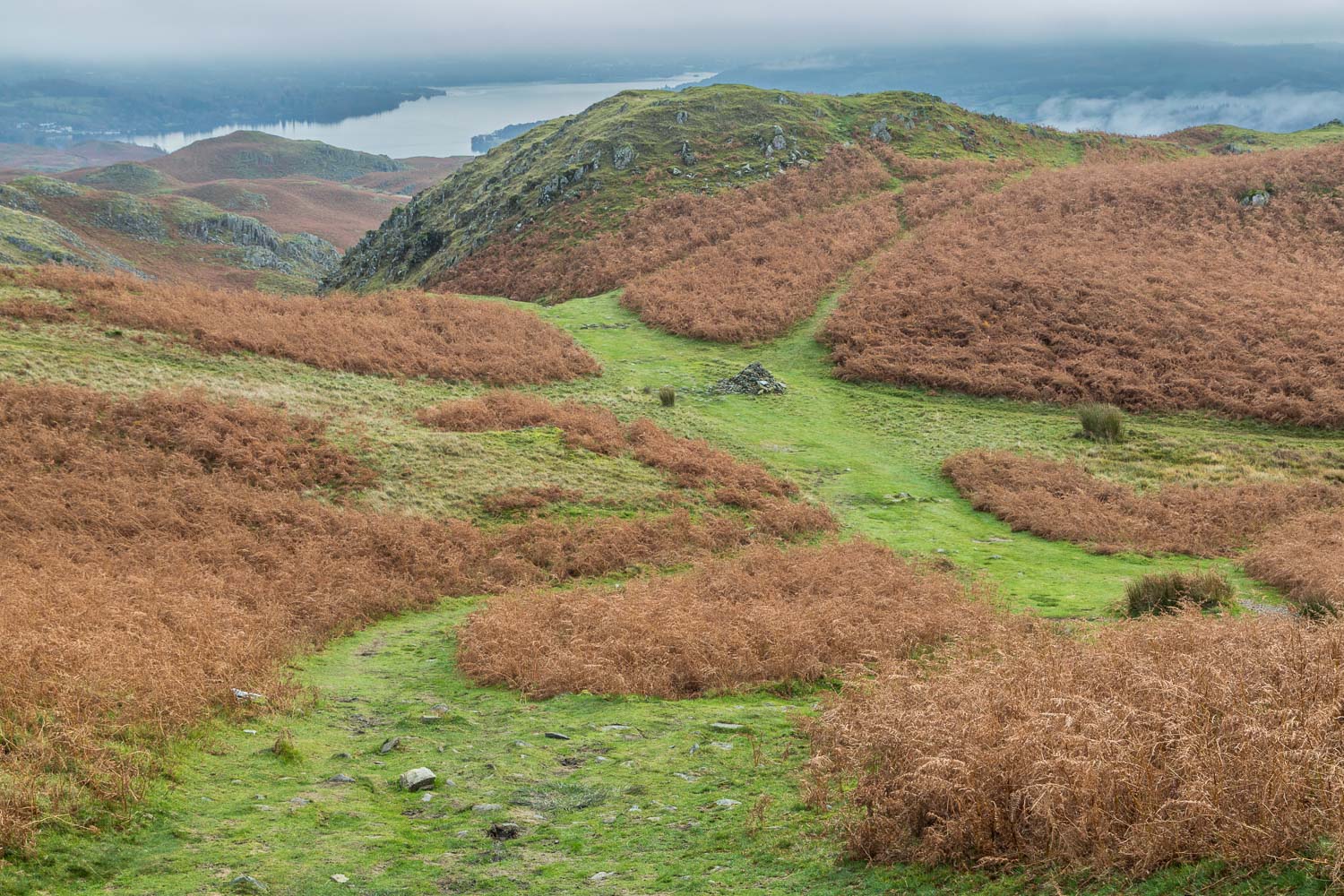
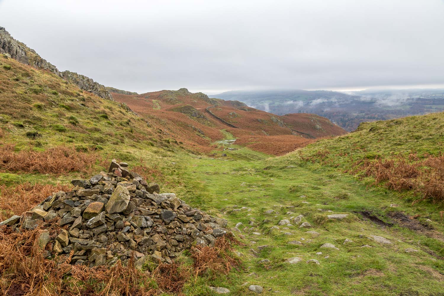
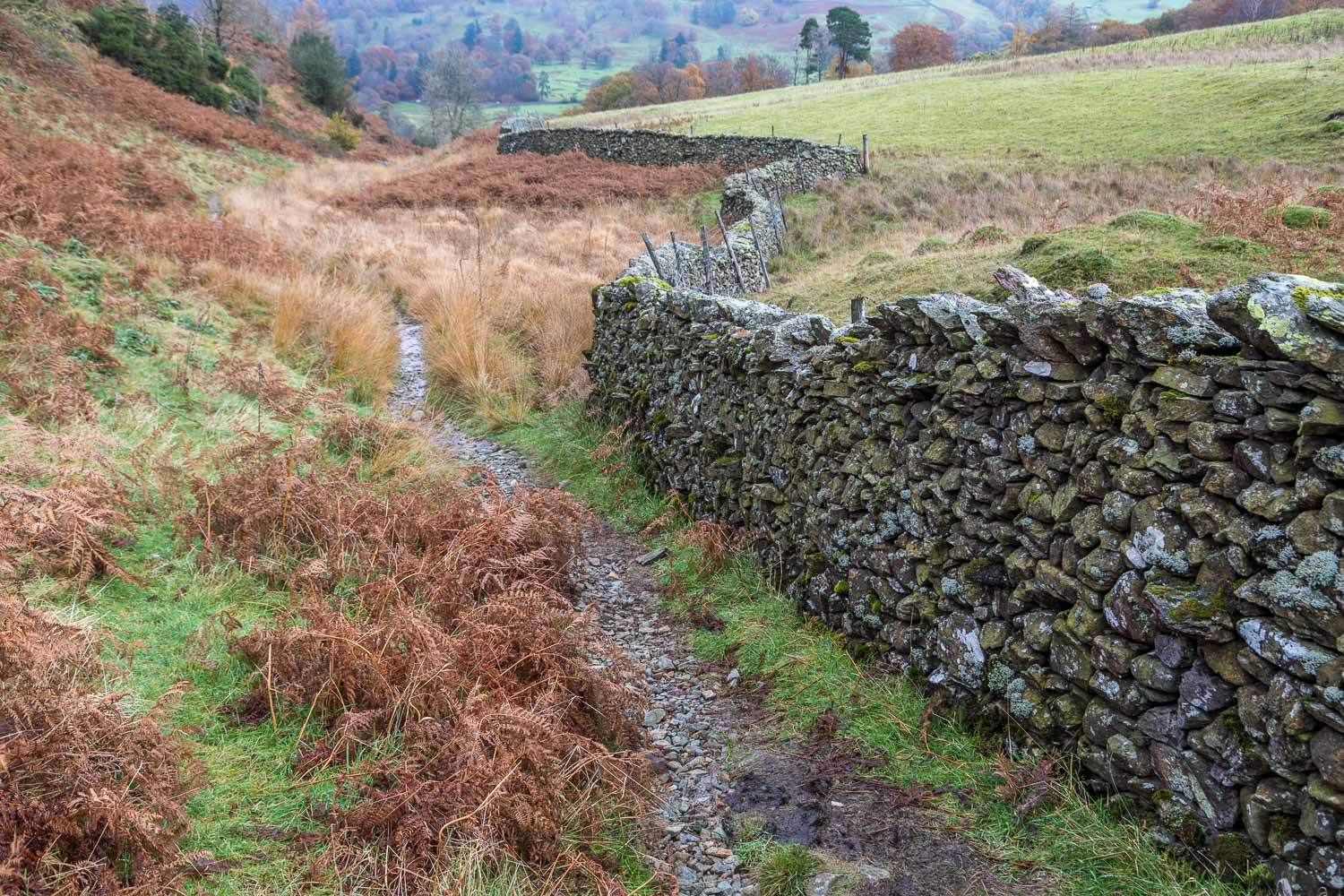
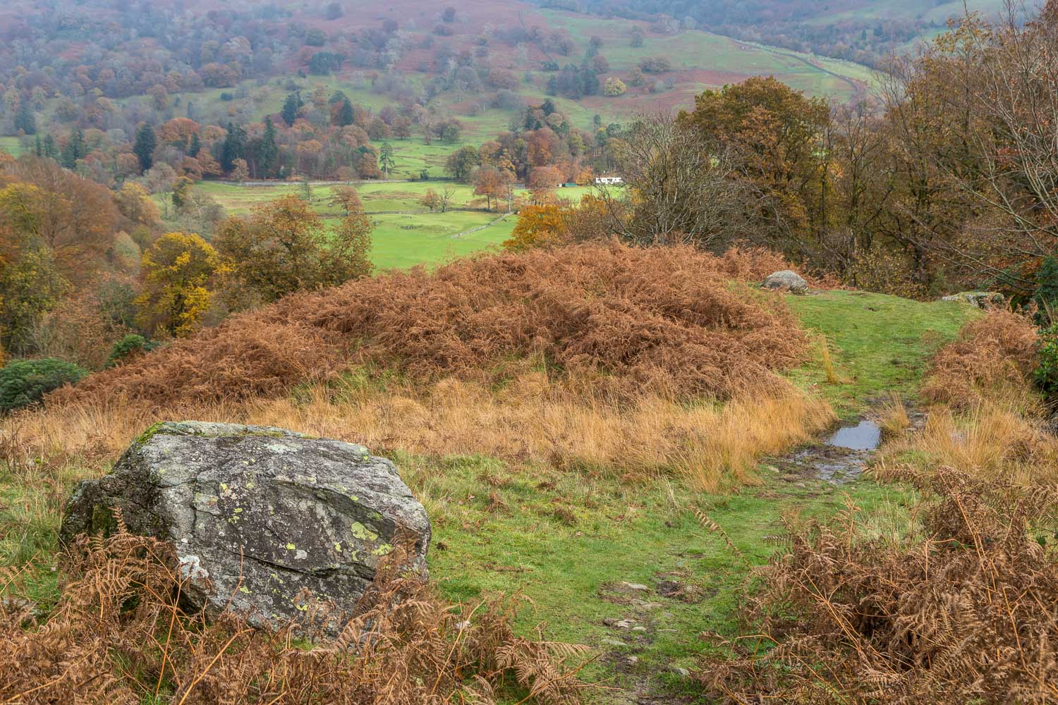
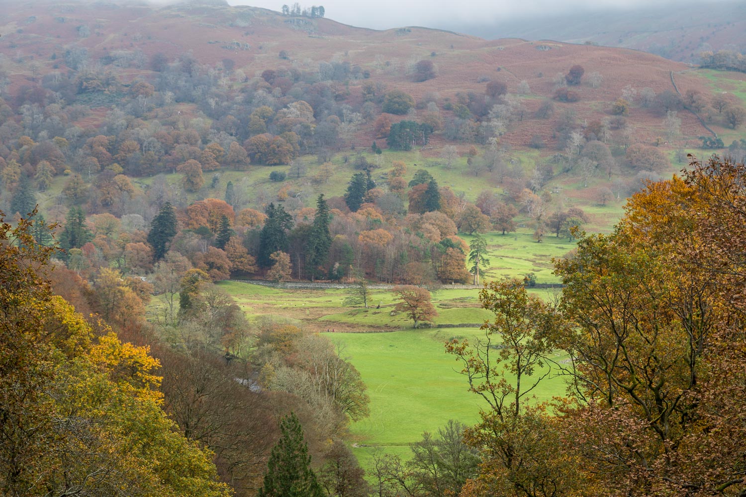
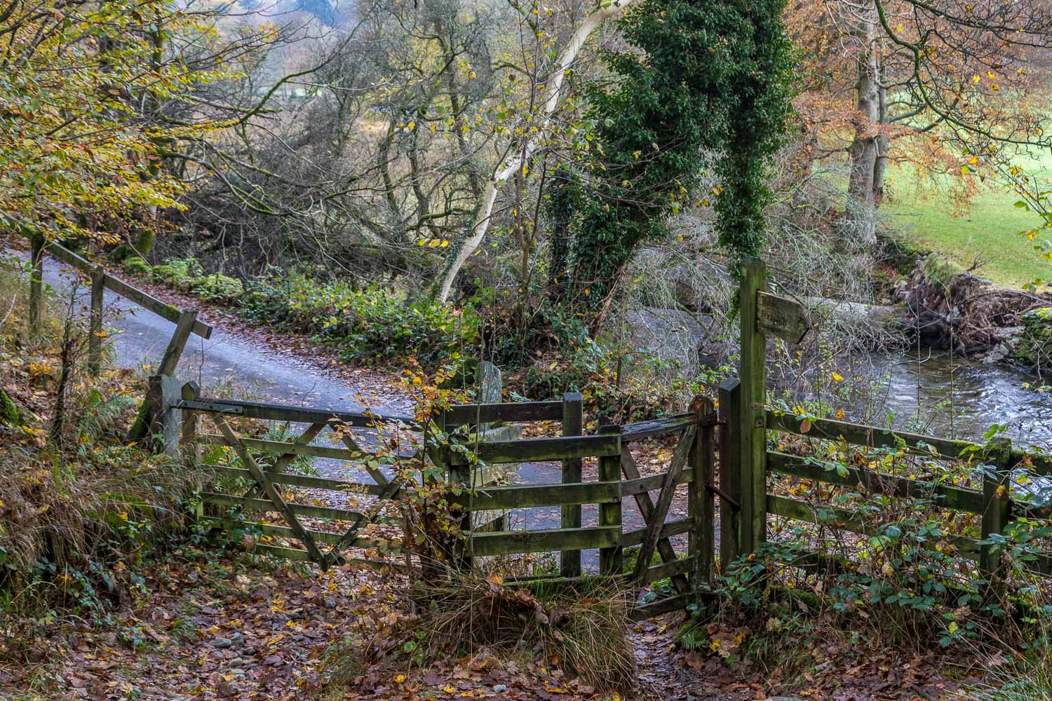
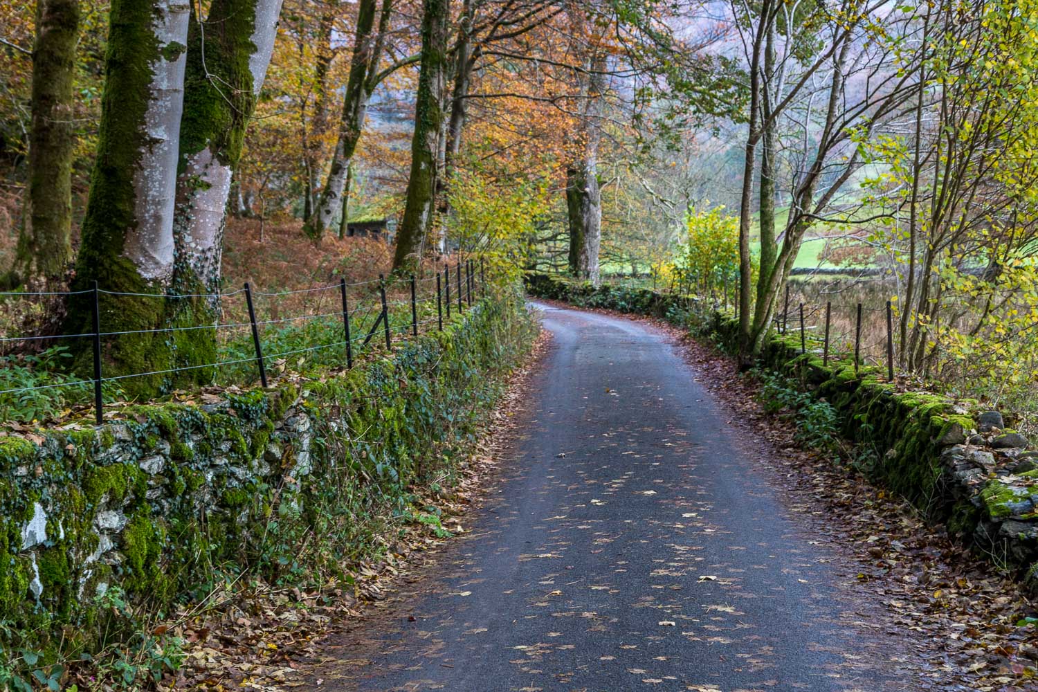
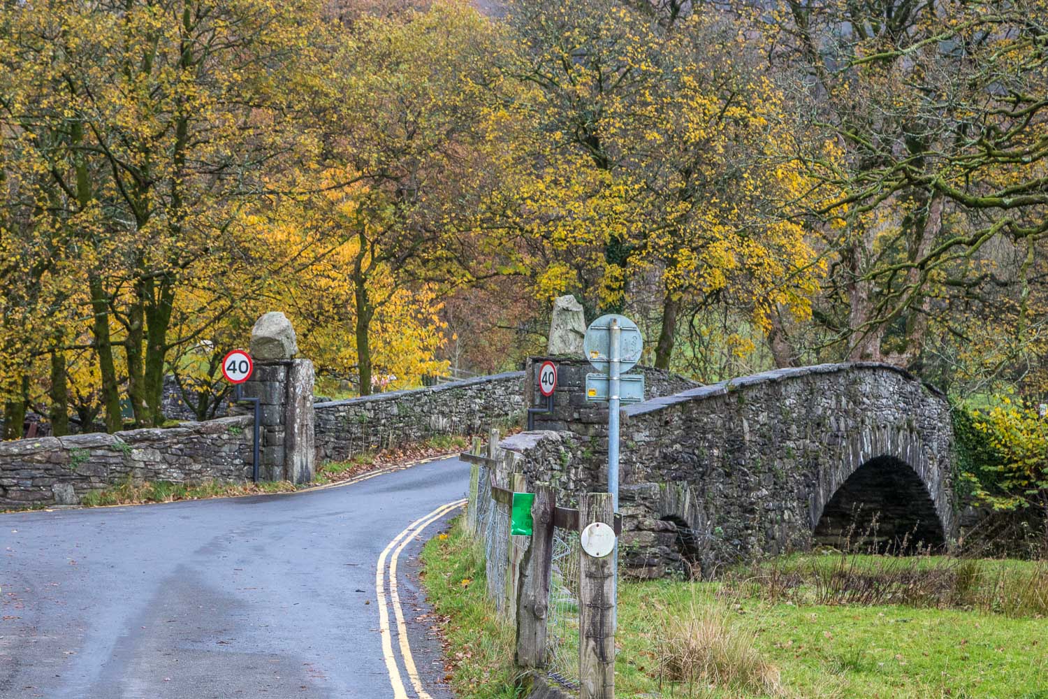
At the end of the terrace I turned sharply uphill to follow a steep rock staircase. The path here is being renovated, and becomes rougher further up, but there are no difficulties. Eventually I arrived at the summit of Loughrigg Fell from where the views are normally superb, but today lacked impact thanks to low cloud and flat light. The summit area of the fell is a complicated place with numerous ups and downs and with paths leading in all directions. I followed the main descent path in the general direction of Windermere. This gradually curves round to head east. I arrived at a dry stone wall and from here followed a narrow path beside Fox Ghyll. This brought me down to a lane beside the River Rothay which I followed as far as Pelter Bridge, turning left just before the bridge to make my way back to the start
For other walks here, visit my Find Walks page and enter the name in the ‘Search site’ box
Click on the icon below for the route map (subscribers to OS Maps can view detailed maps of the route, visualise it in aerial 3D, and download the GPX file. Non-subscribers will see a base map)
Scroll down – or click on any photo to enlarge it and you can then view as a slideshow
