Route: Lorton Vale
Area: Western Lake District
Date of walk: 1st January 2020
Walkers: Andrew
Distance: 2.0 miles
Ascent: 300 feet
Weather: Cloudy with sunny patches
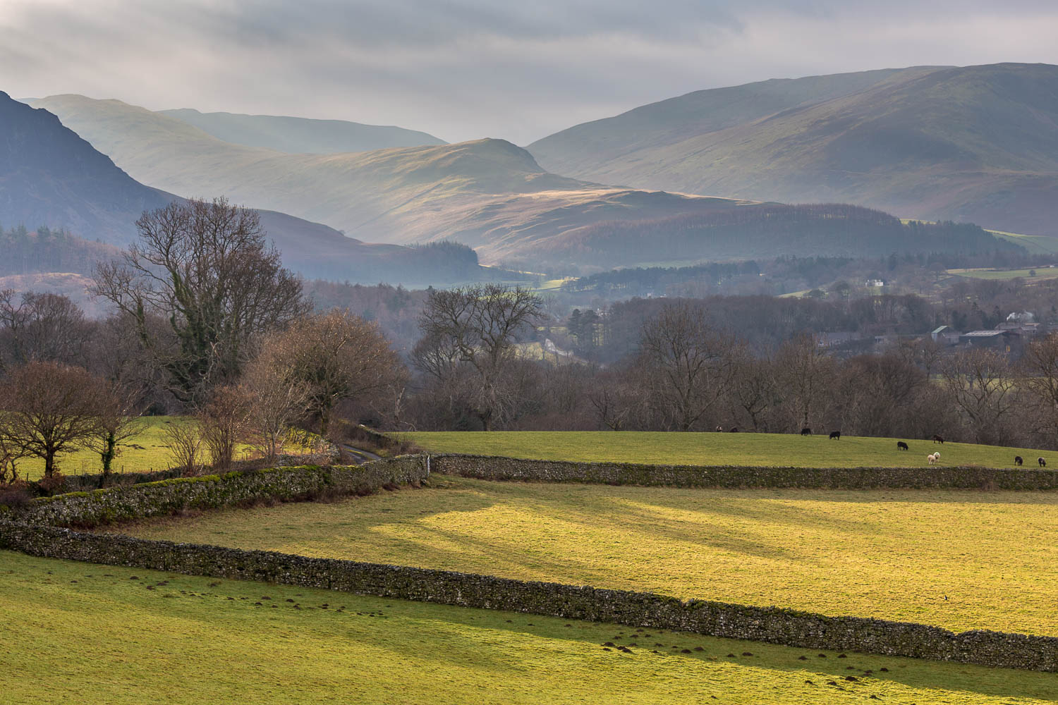
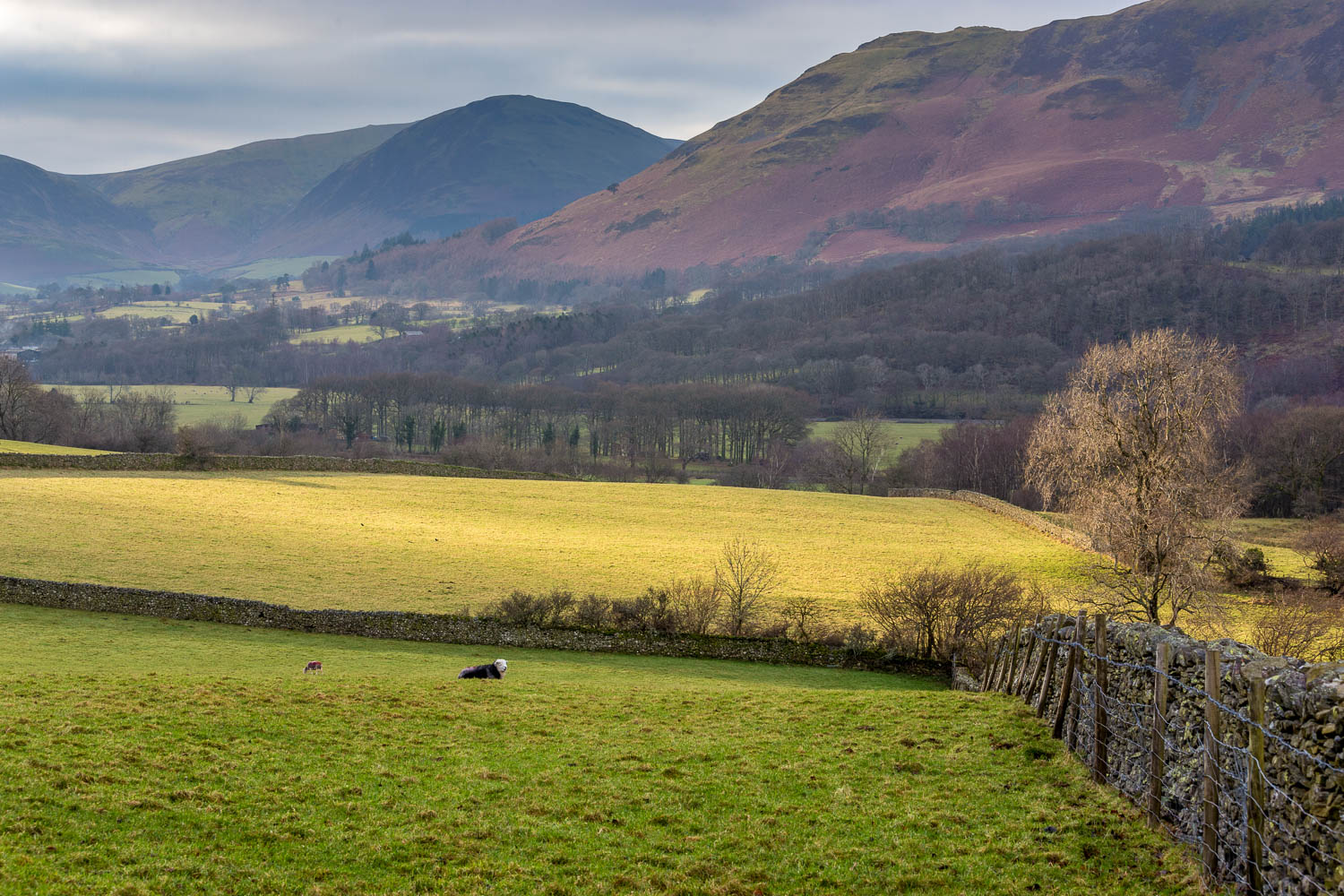
For the first walk of a new decade I decided to tread the familiar paths of Lorton Vale, one of lakeland’s loveliest valleys. It may lack in drama compared with other valleys such as Borrowdale and Langdale, but it more than makes up for this with its unspoilt pastoral charm. It’s a quiet area too, and a good destination for anyone seeking to avoid the bank holiday crowds. As it turned out, I didn’t see another soul during the walk
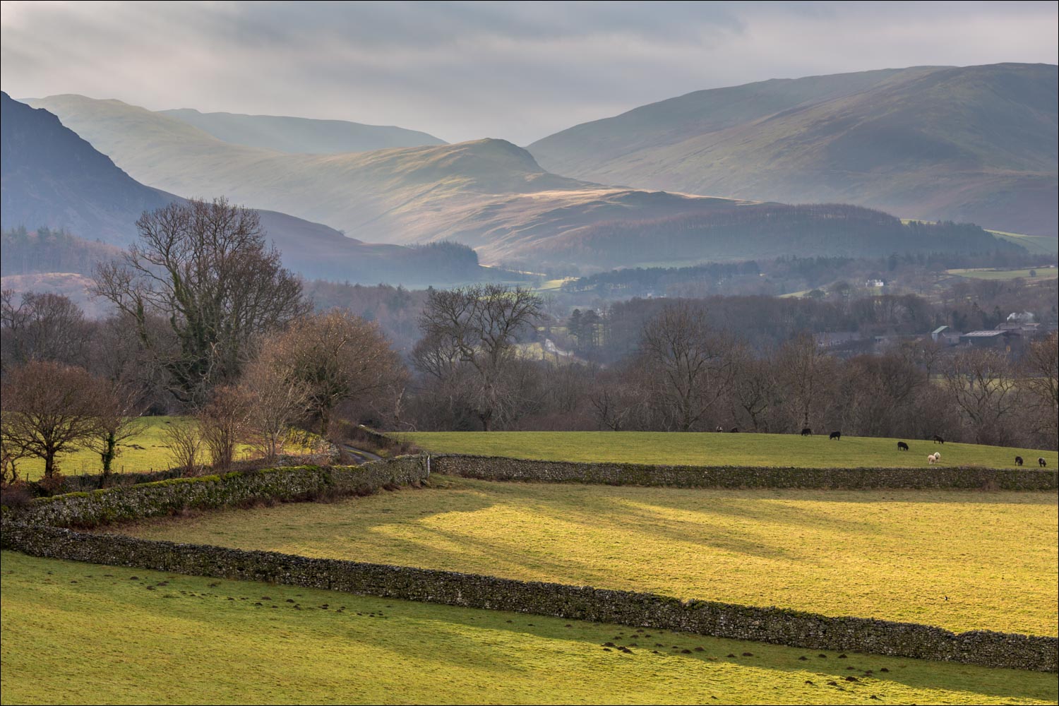
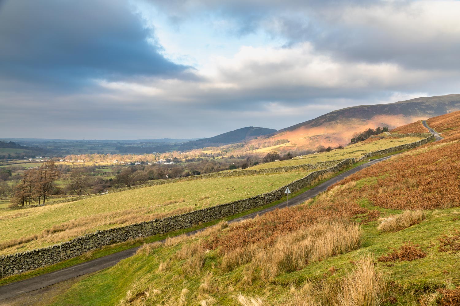
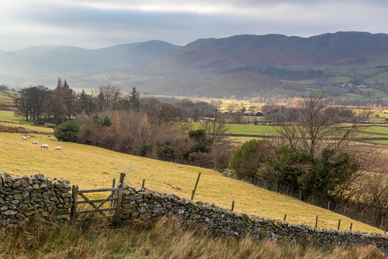
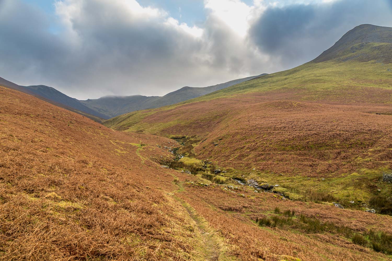
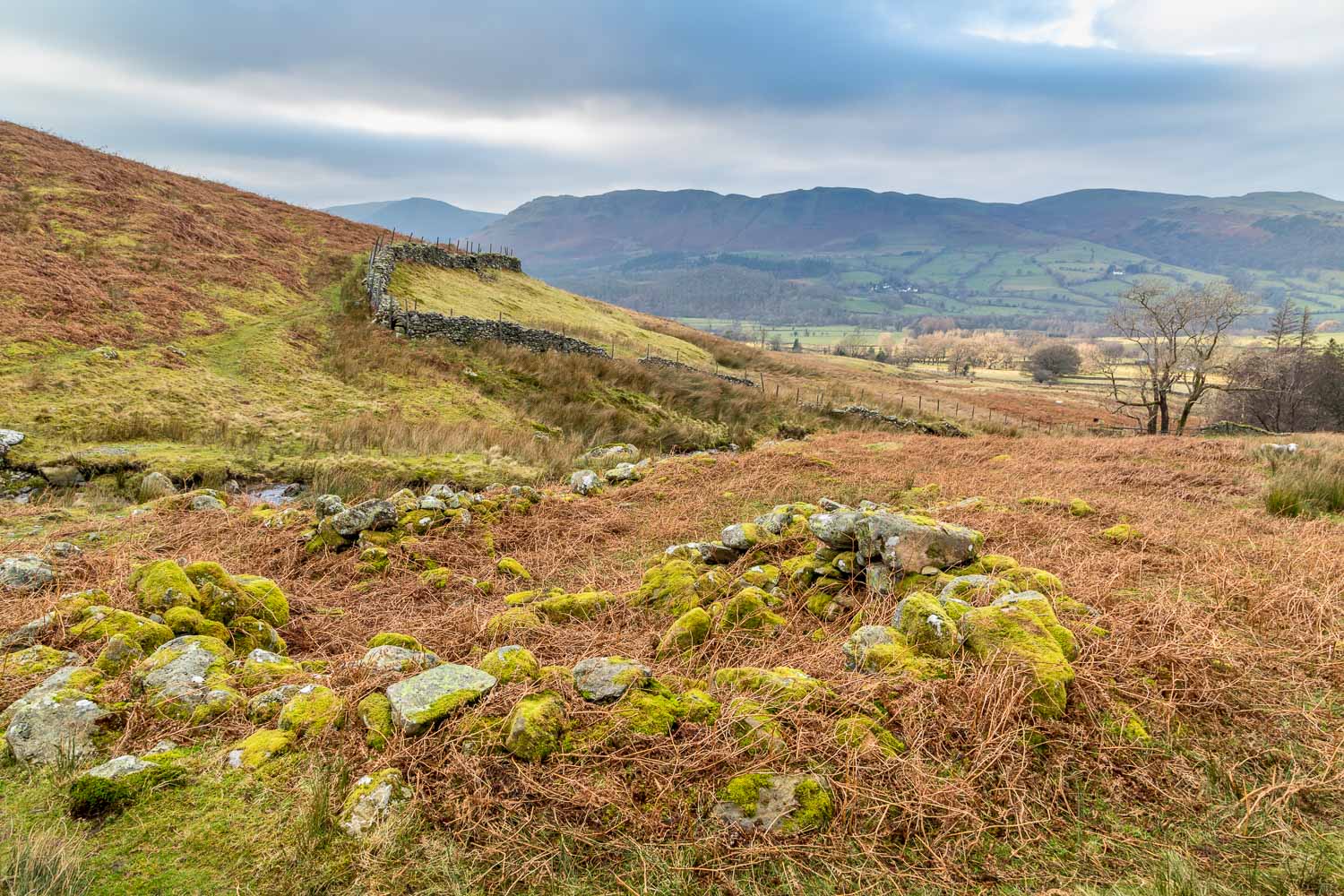
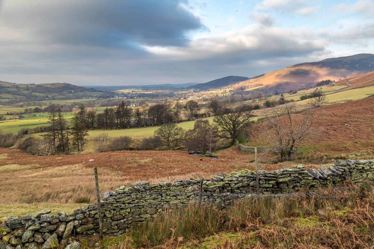
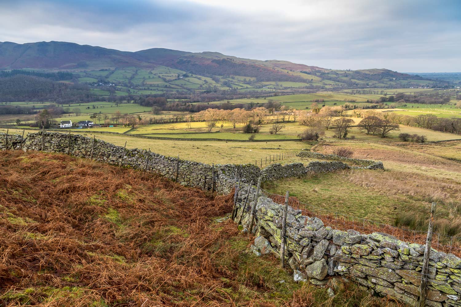
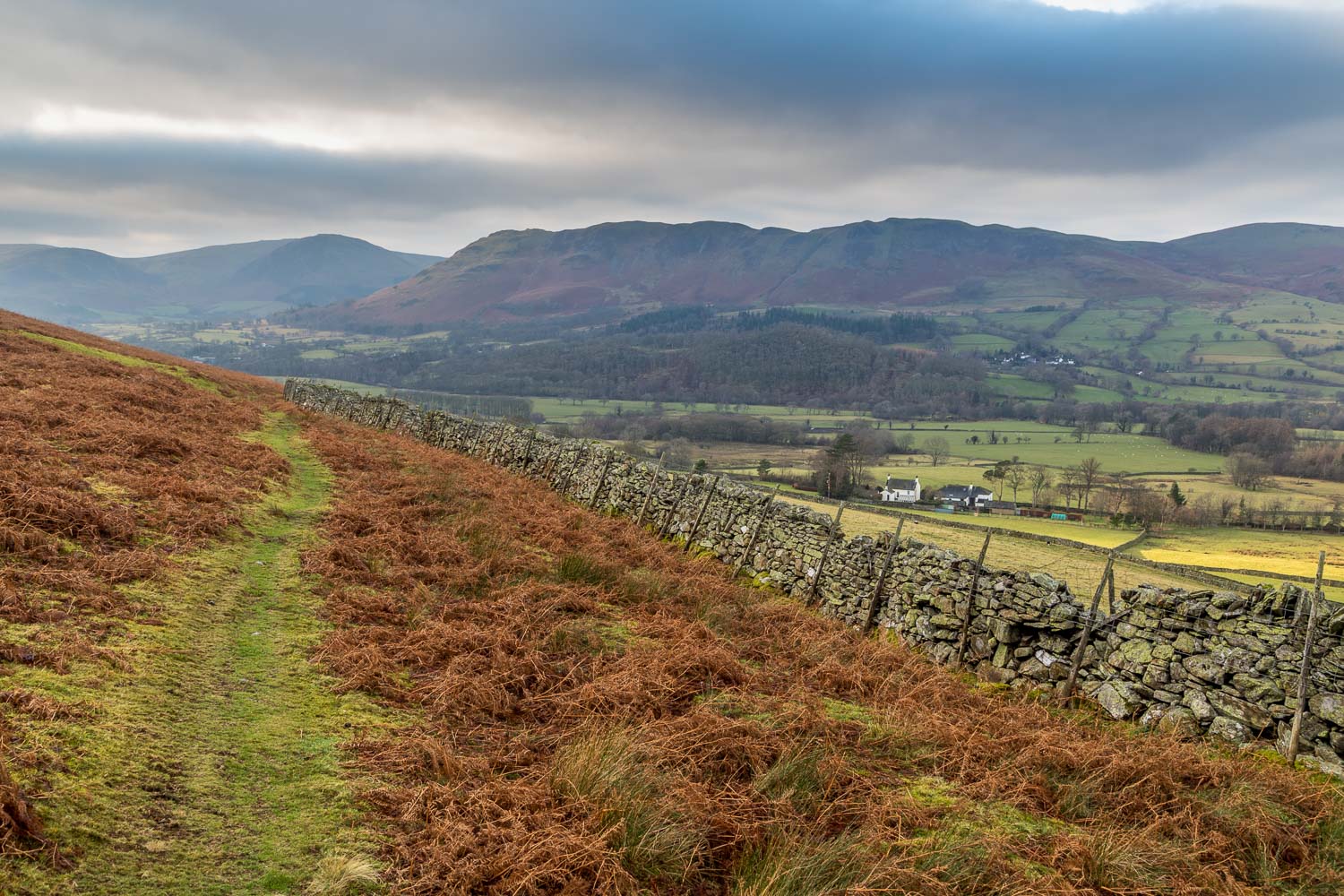
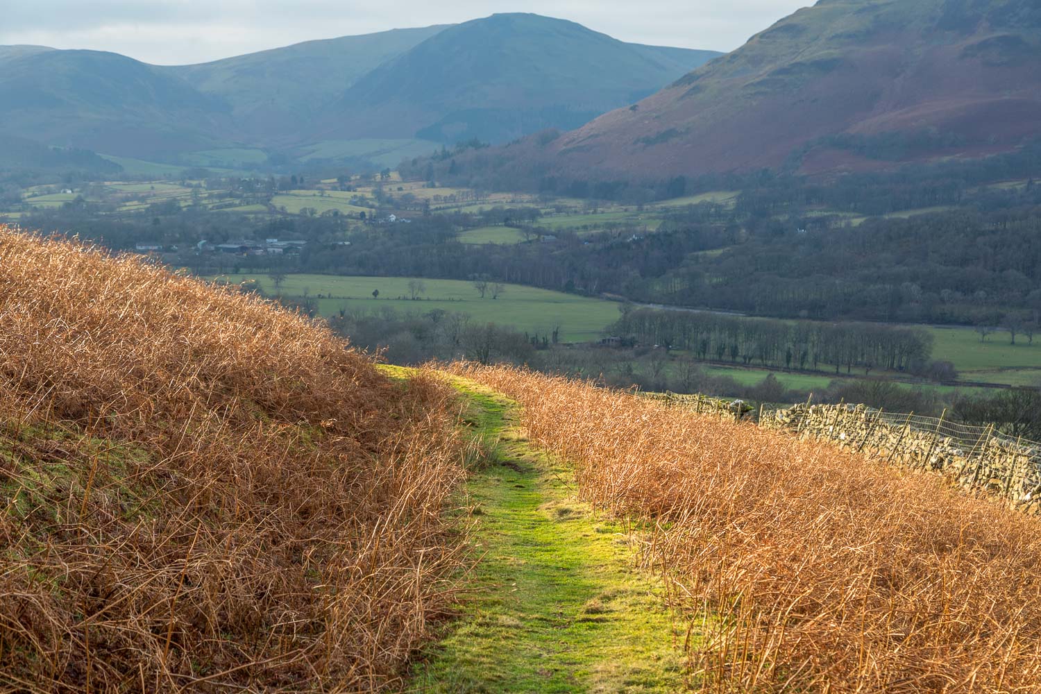
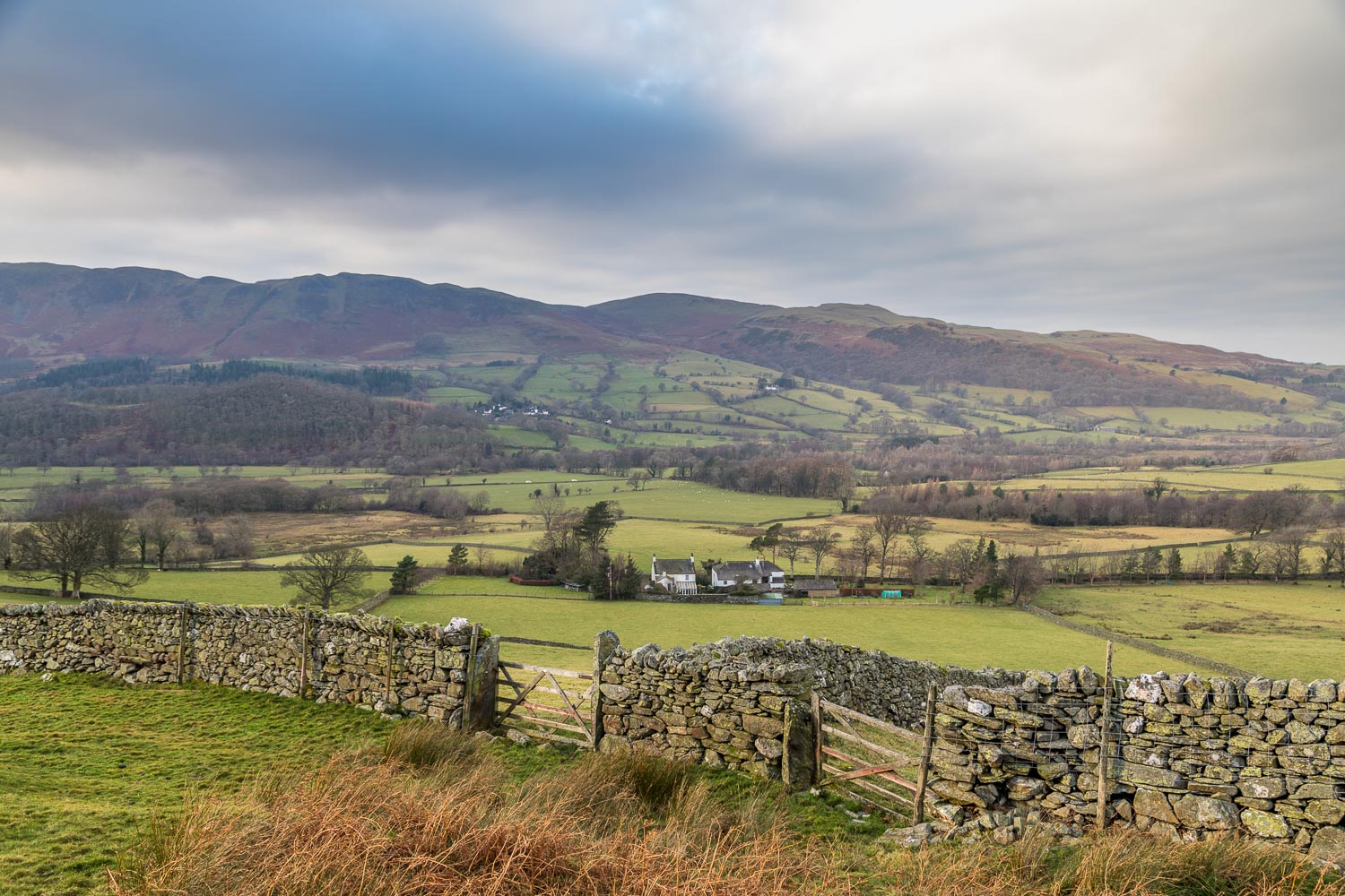
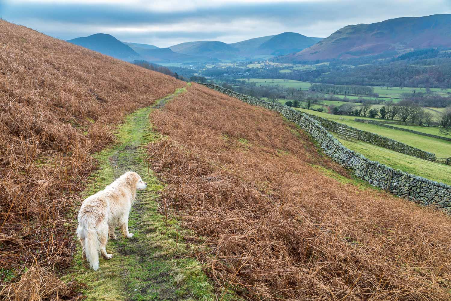
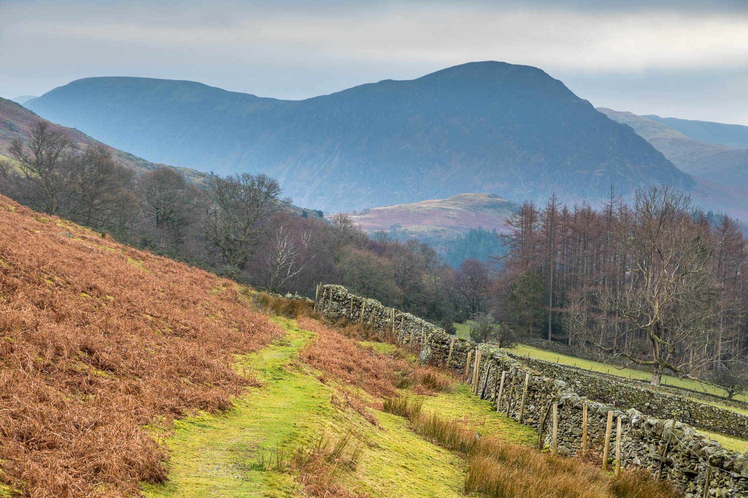
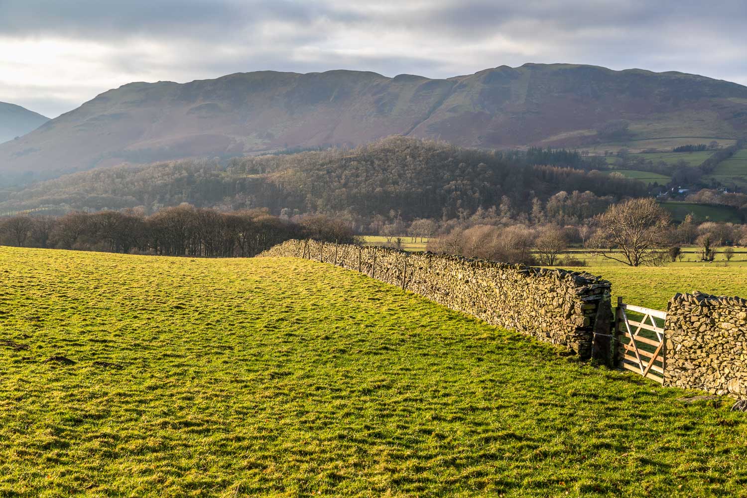
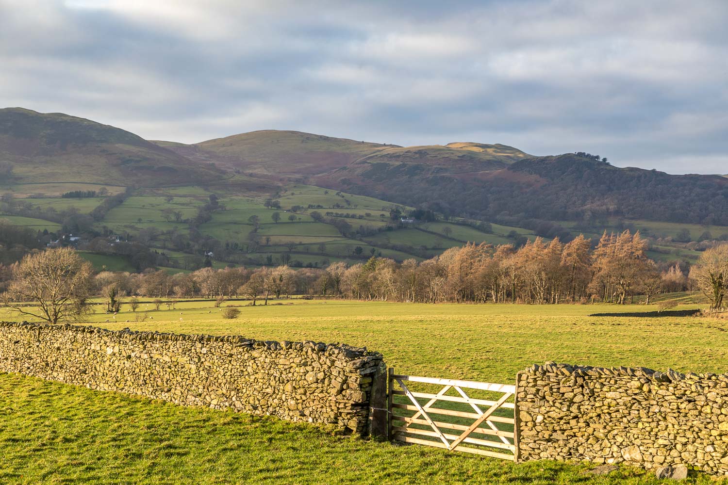
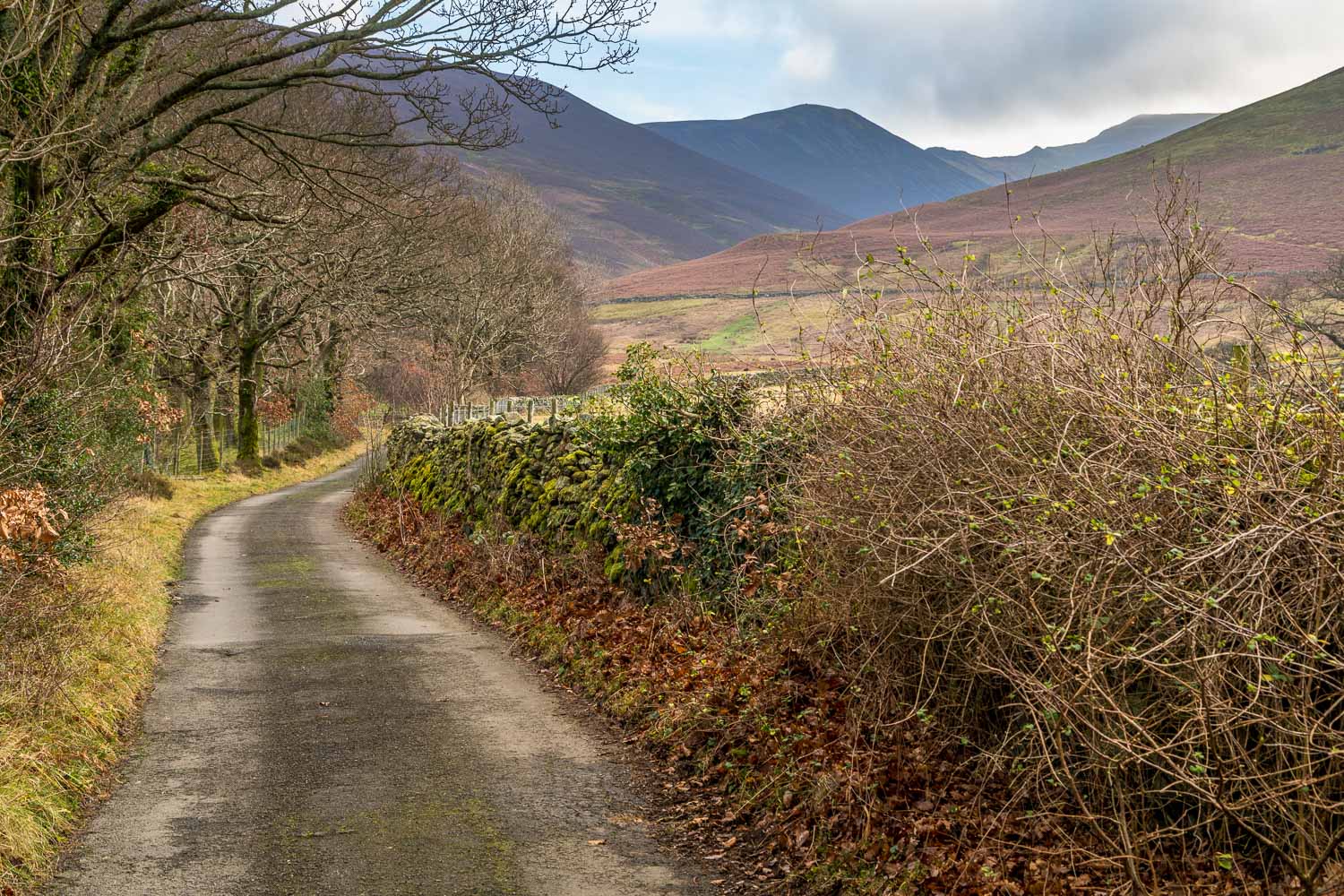
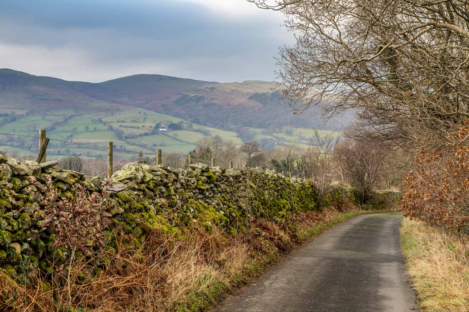
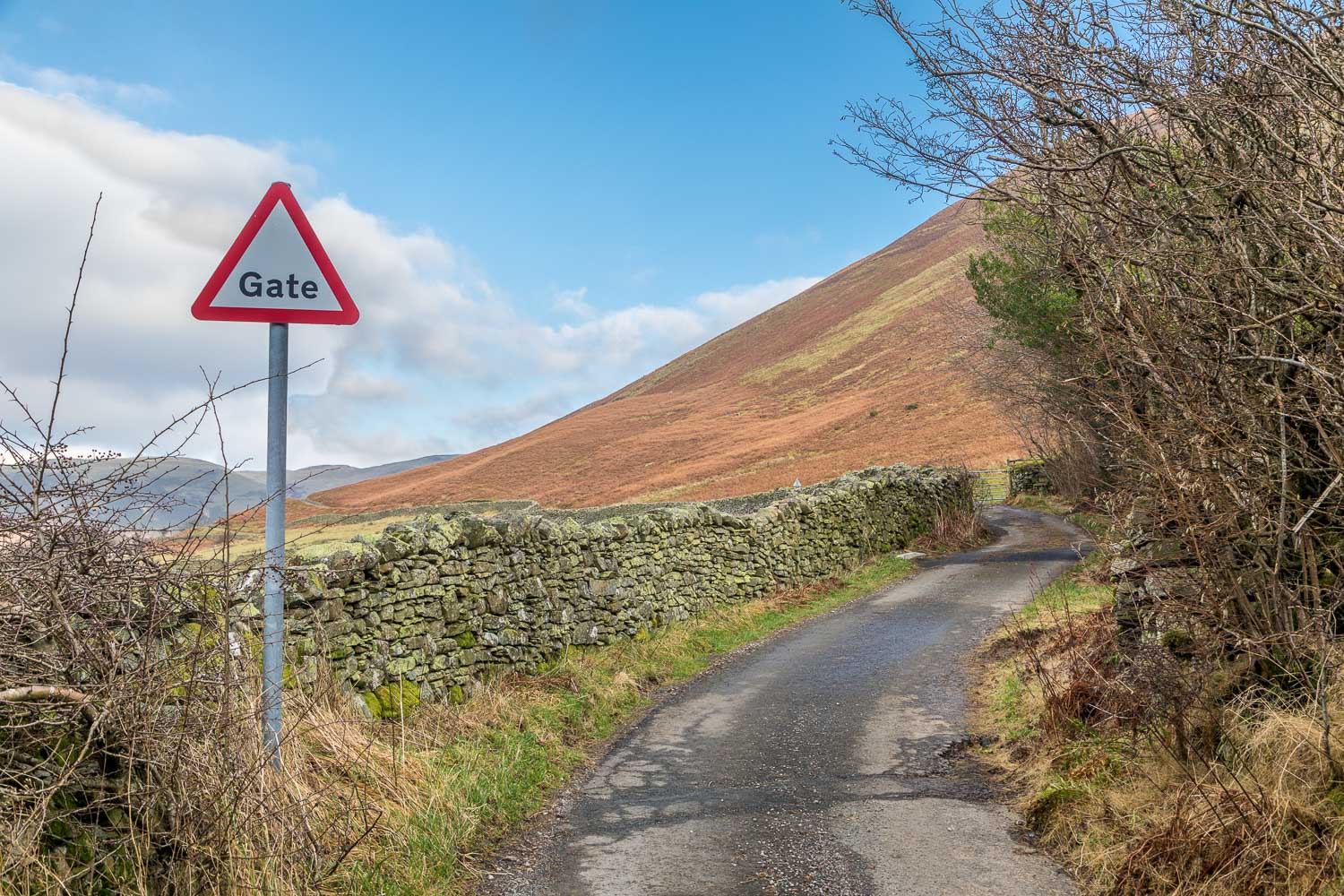
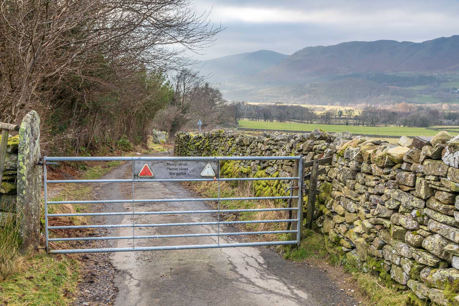
There was only time for a short walk today, but a glance at the Ordnance Survey map will quickly show that a network of paths criss cross the valley, and there are numerous options for a longer outing. I started from the small parking space by one of the gates on the gated road at High Swinside. I then followed the valley path above the intake wall, which has wonderful views across Lorton Vale to Low Fell and Fellbarrow. The path is soggy in places no matter how dry the weather has been
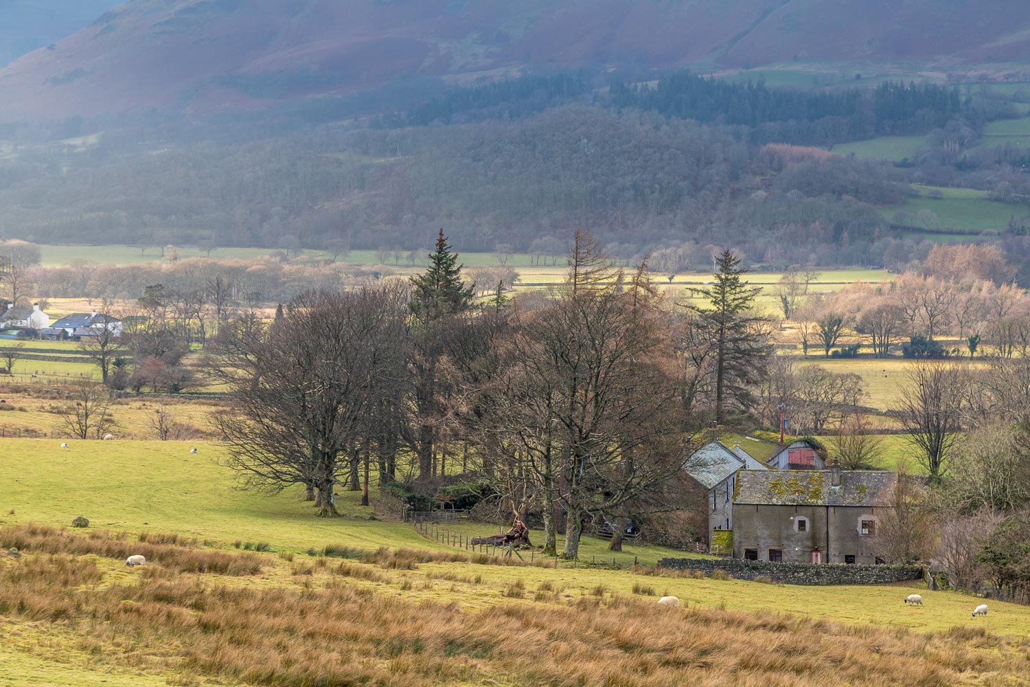
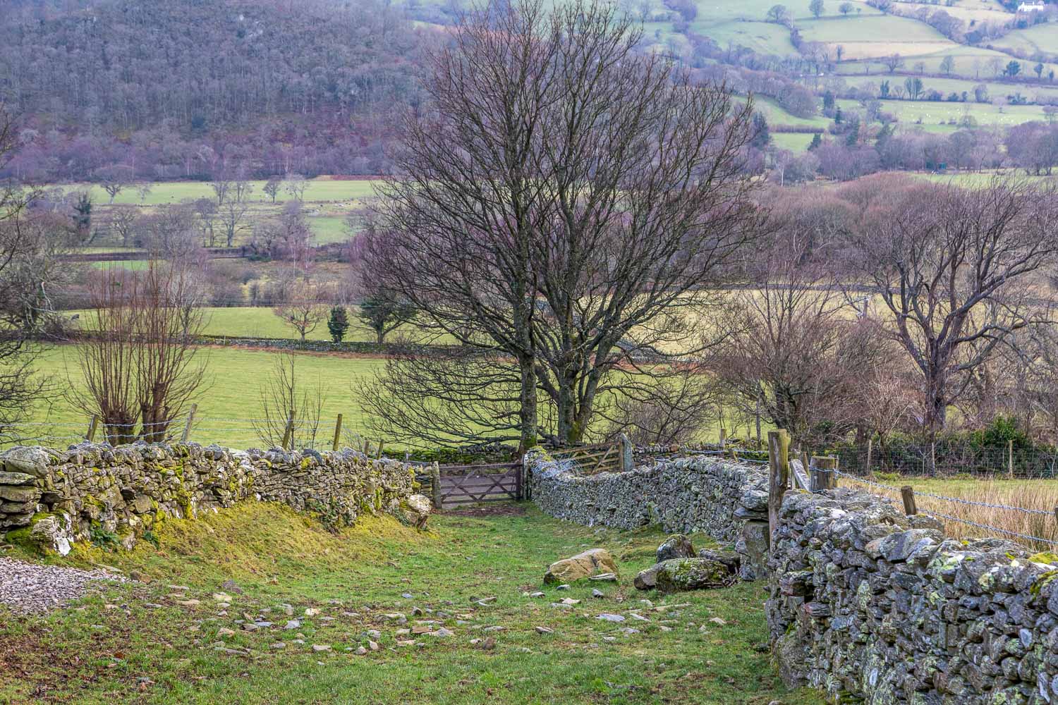
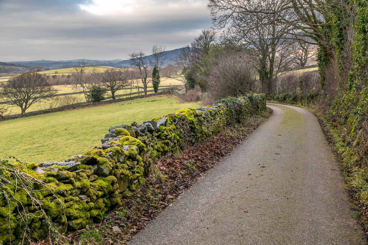
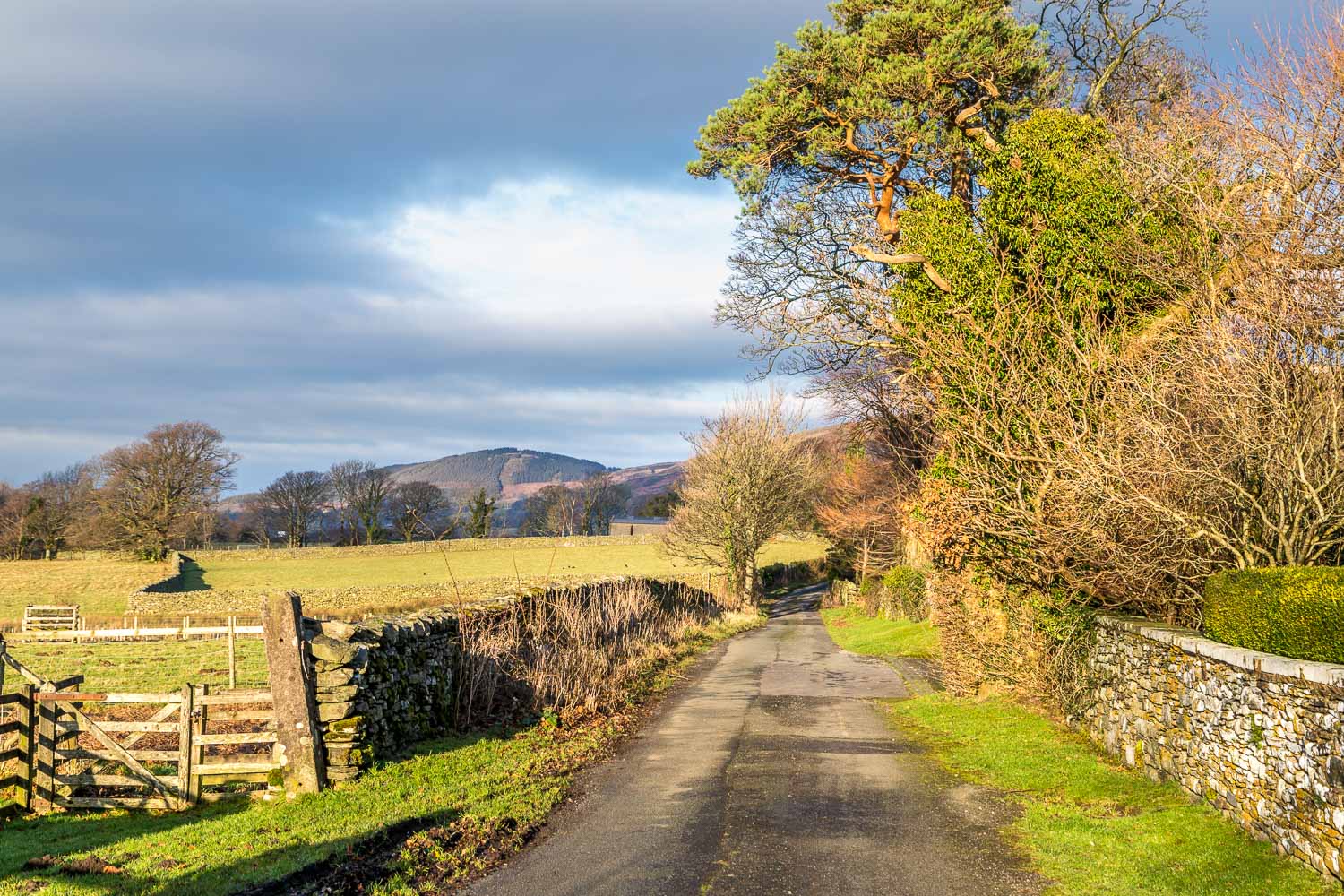
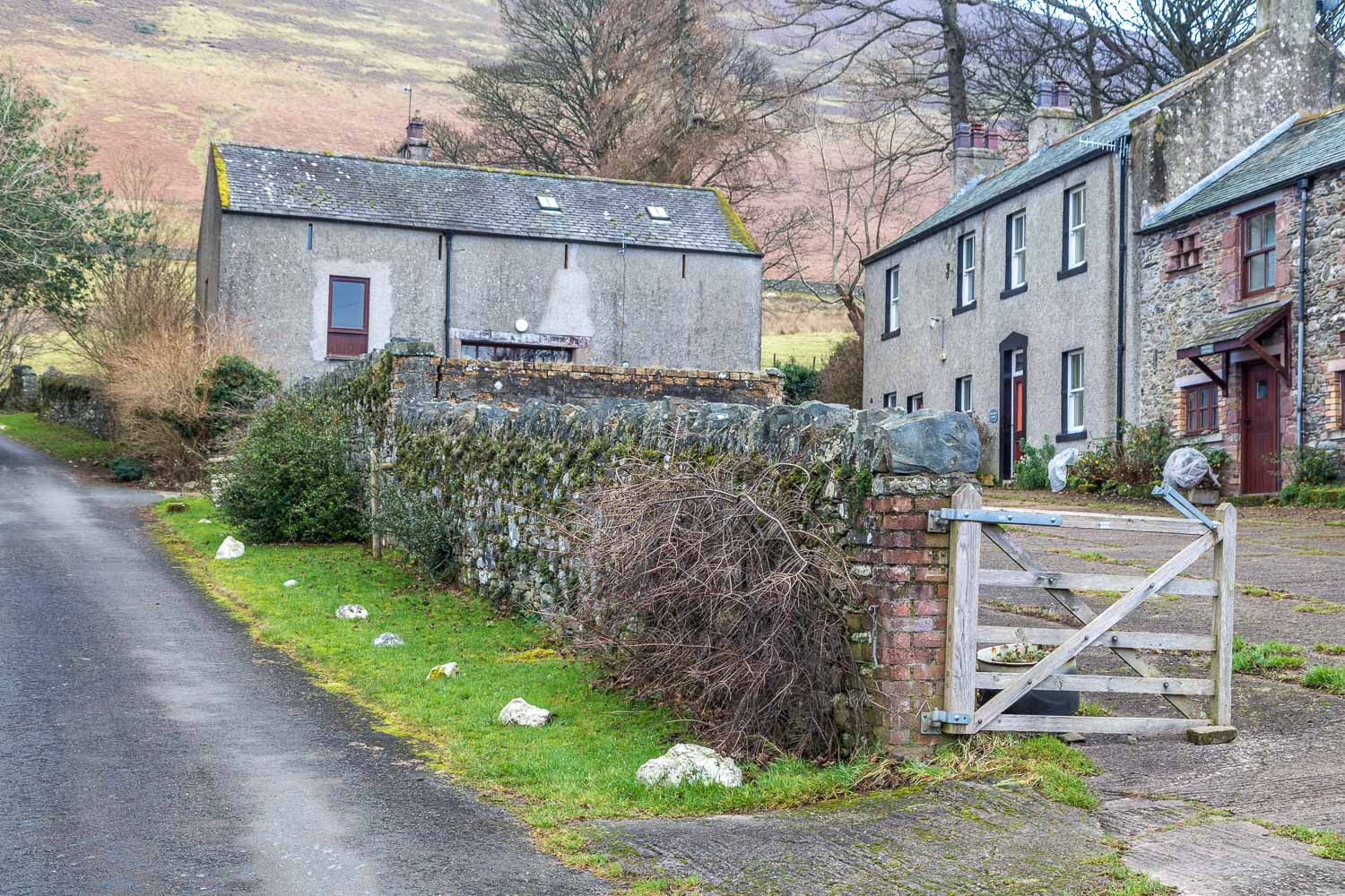
It was tempting to continue along the path, which runs as far as Lanthwaite Green but there was no time for that today. All too soon I arrived at the outgang by Miller Place and descended between its dry stone walls to arrive at the quiet lane leading into High Lorton. The lane is virtually traffic free and is only used by a few locals. On arriving at the small settlement of Hopebeck I turned right uphill to follow another lane which leads back to High Swinside and the gated road
It was a short but sweet little walk
For other walks here, visit my Find Walks page and enter the name in the ‘Search site’ box
Click on the icon below for the route map (subscribers to OS Maps can view detailed maps of the route, visualise it in aerial 3D, and download the GPX file. Non-subscribers will see a base map)
Scroll down – or click on any photo to enlarge it and you can then view as a slideshow
