Route: Lorton Vale
Area: Western Lake District
Date of walk: 17th April 2025
Walkers: Andrew
Distance: 4.2 miles
Ascent: 600 feet
Weather: Mixed sun and clouds, cold breeze
Lorton Vale is a chain of valleys stretching from Cockermouth in the north to Buttermere in the south. The valley contains the lakes of Loweswater, Crummock Water and Buttermere. Today’s walk was a linear one and followed a path through one of the most scenic sections of Lorton Vale, starting in High Lorton and ending at Lanthwaite Green near the foot of Crummock Water. Two cars were needed, and I left mine in the small car park at Lanthwaite Green, and from there Gilly gave me a lift to High Lorton. An alternative would be to use the Honister Rambler bus service. The walk is best followed in the direction described, firstly because parking in High Lorton is limited, and secondly in order to keep the best scenery ahead as the walk ventures further into the heart of the Lake District
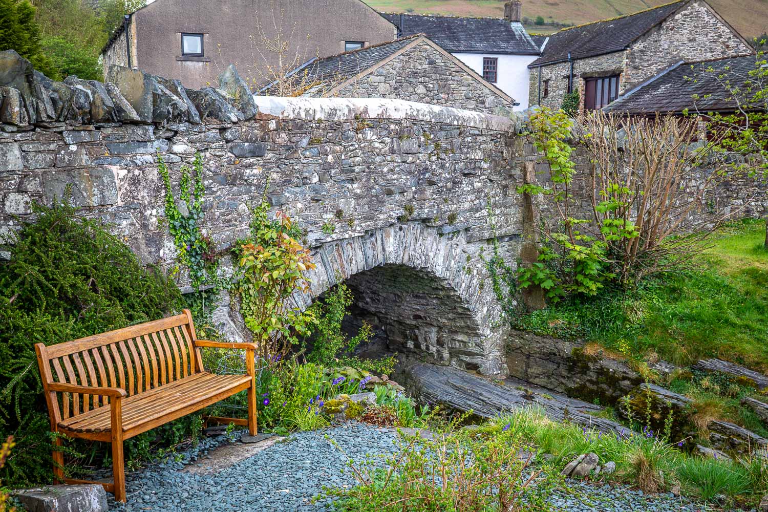
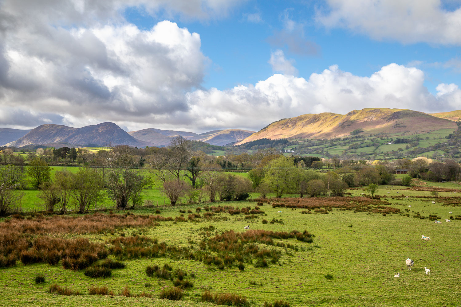
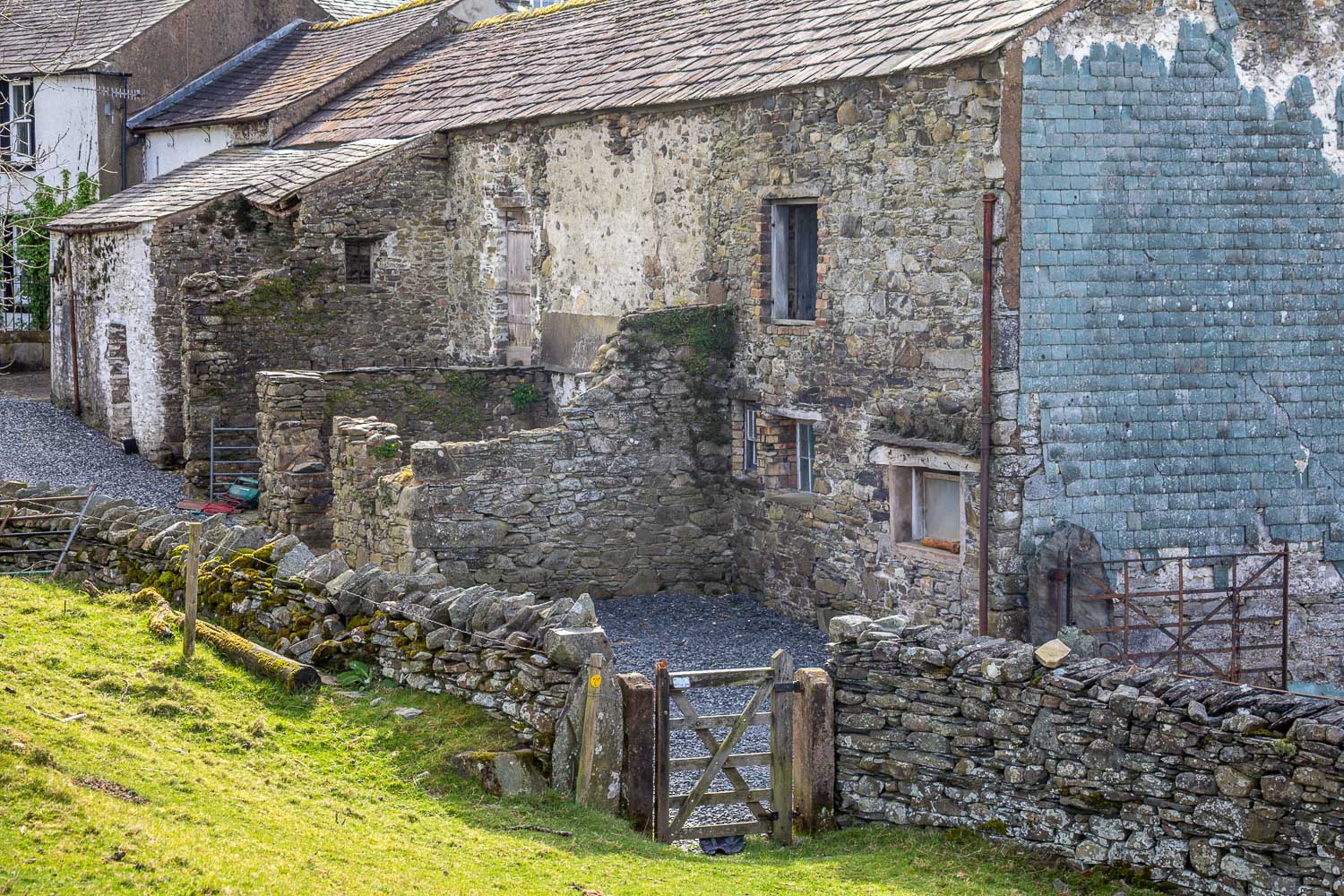
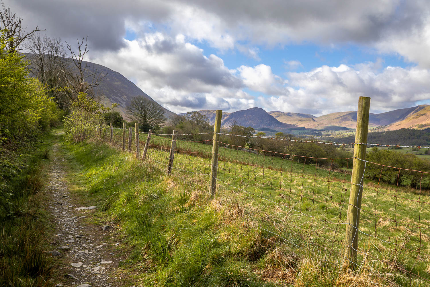
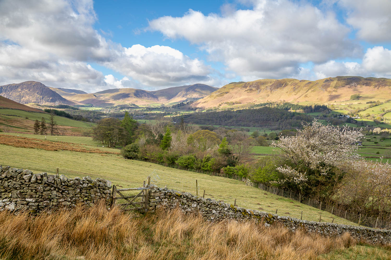
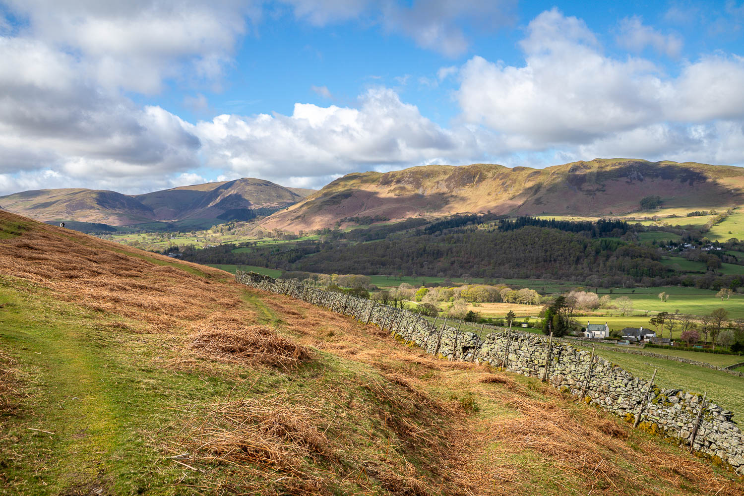
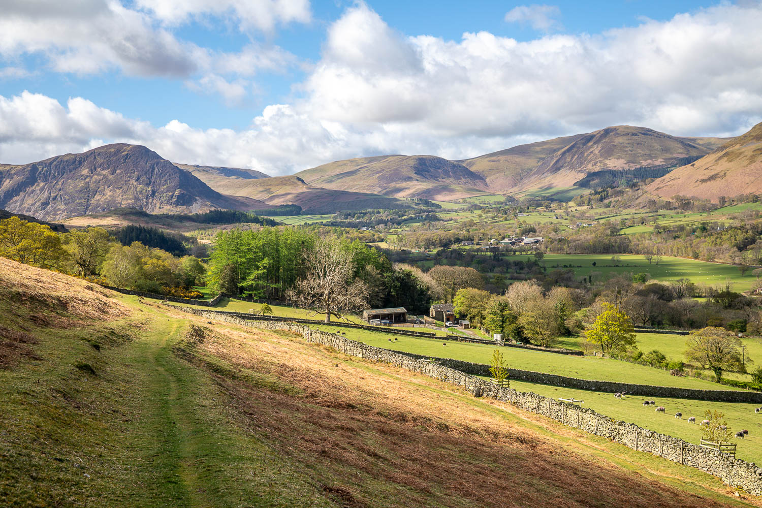
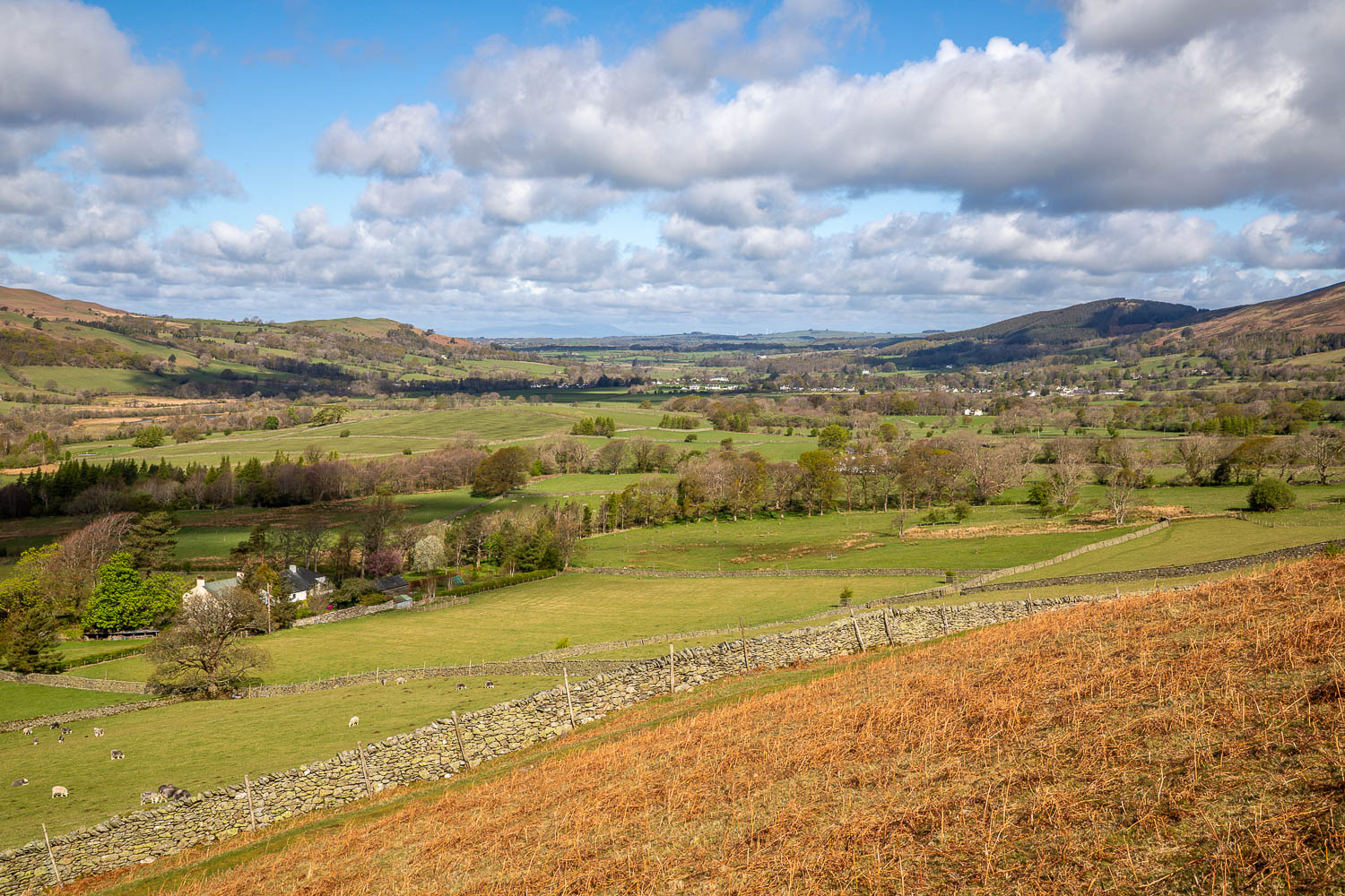
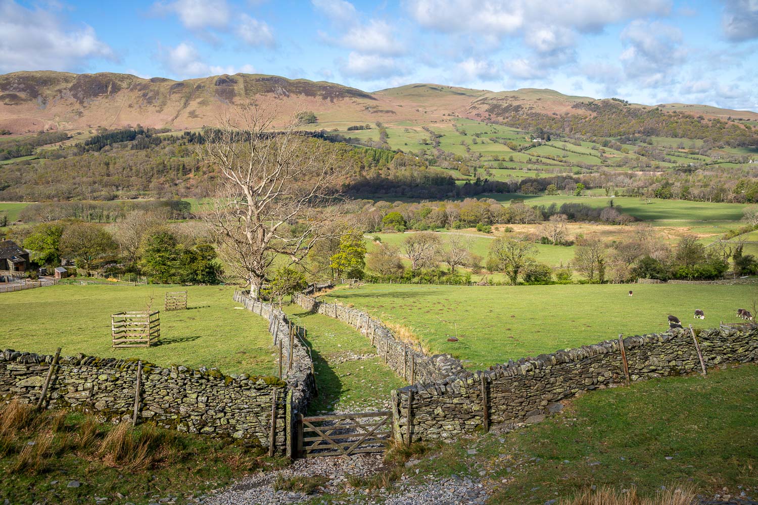
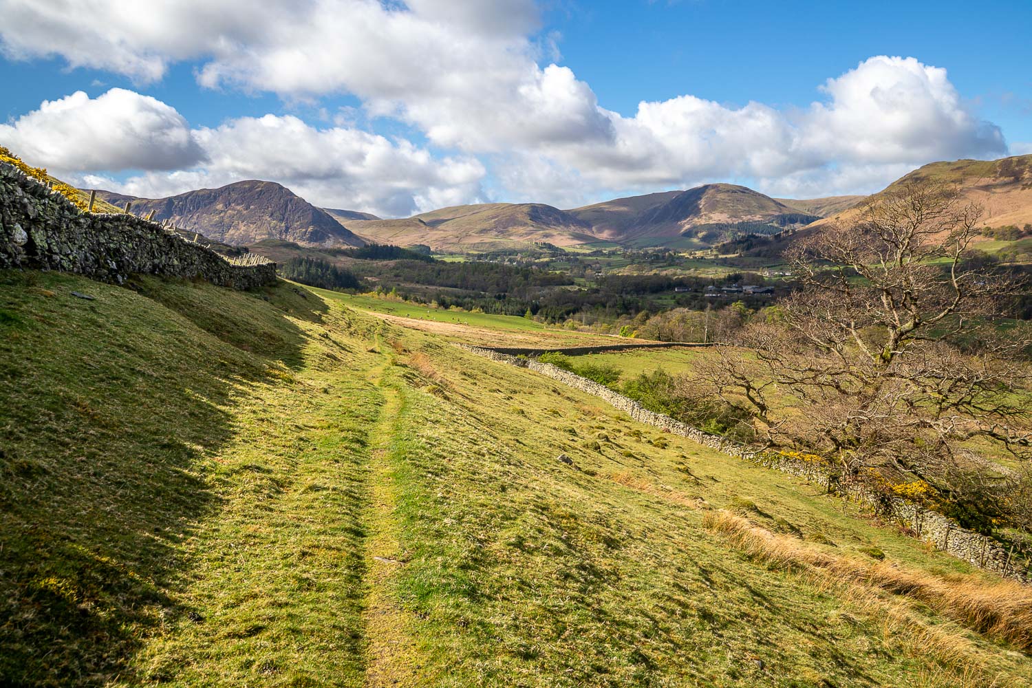
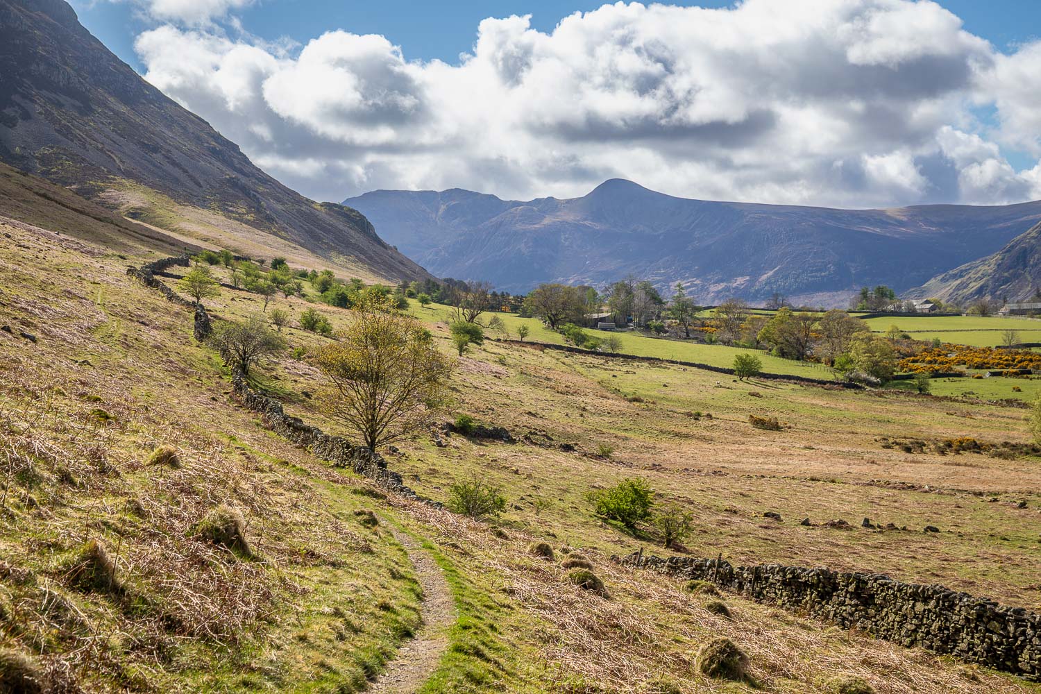
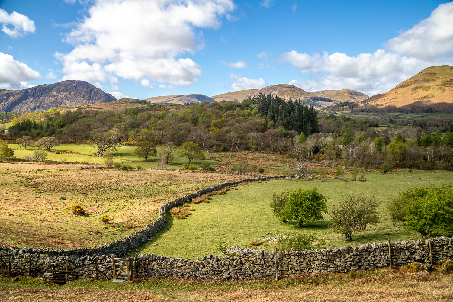
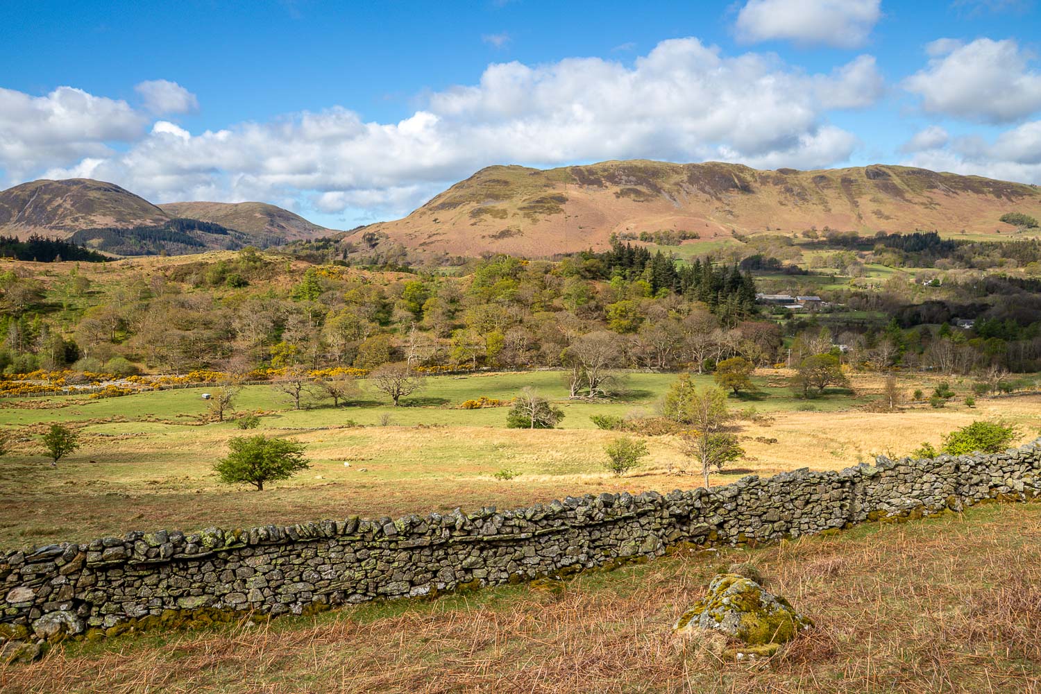
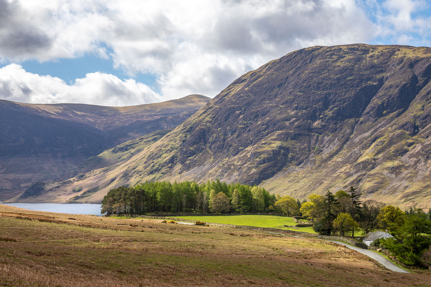
I started the walk nearby the Lorton Village Shop (also known as the ‘Shed with a View’). The shop is a focal point of the community and deserves as much support as possible, so do visit if you can. I climbed out of the village via the small settlements of Boonbeck and Scales and joined the mid level path which runs along much the valley. The section near High Swinside holiday cottages is beautiful, with wonderful views along and across the valley, shown at their best today thanks to clear light, sunshine and big skies
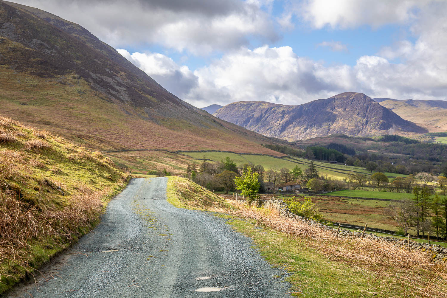
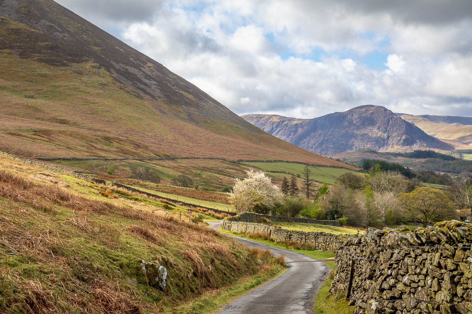
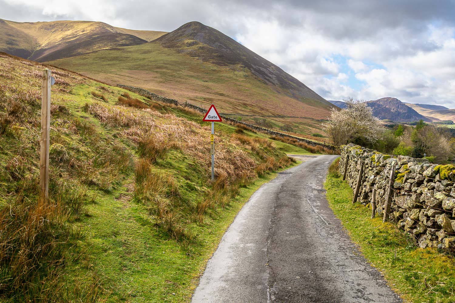
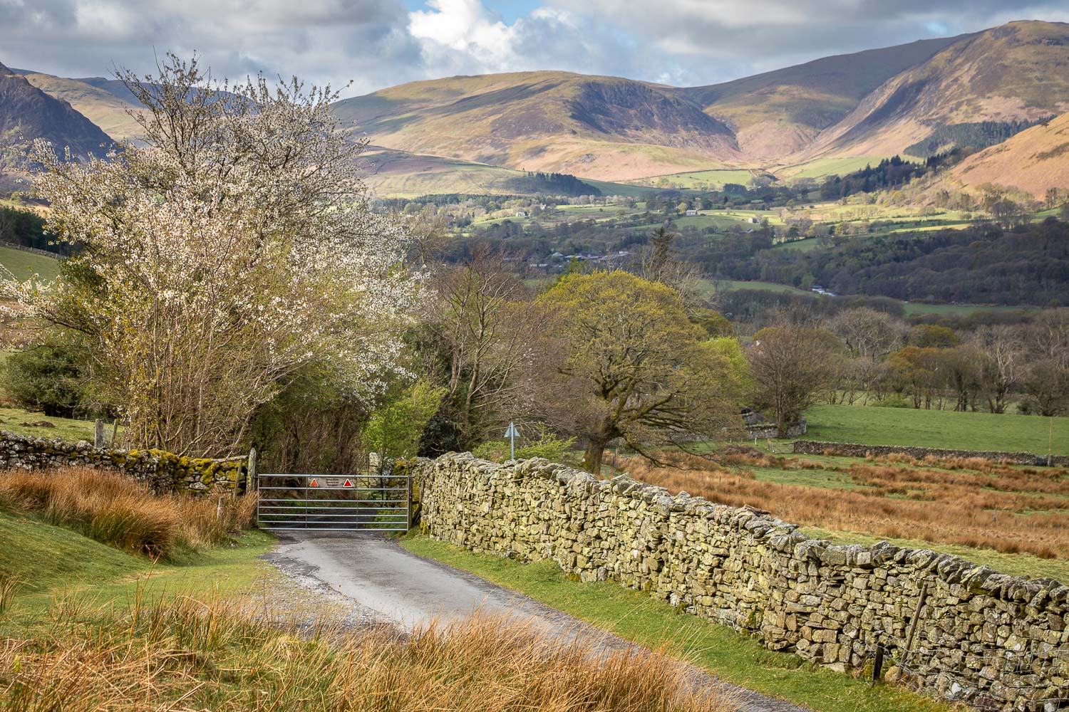
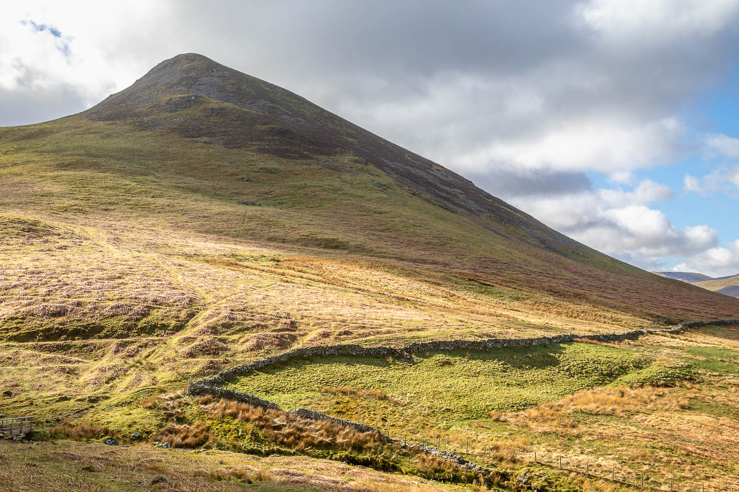
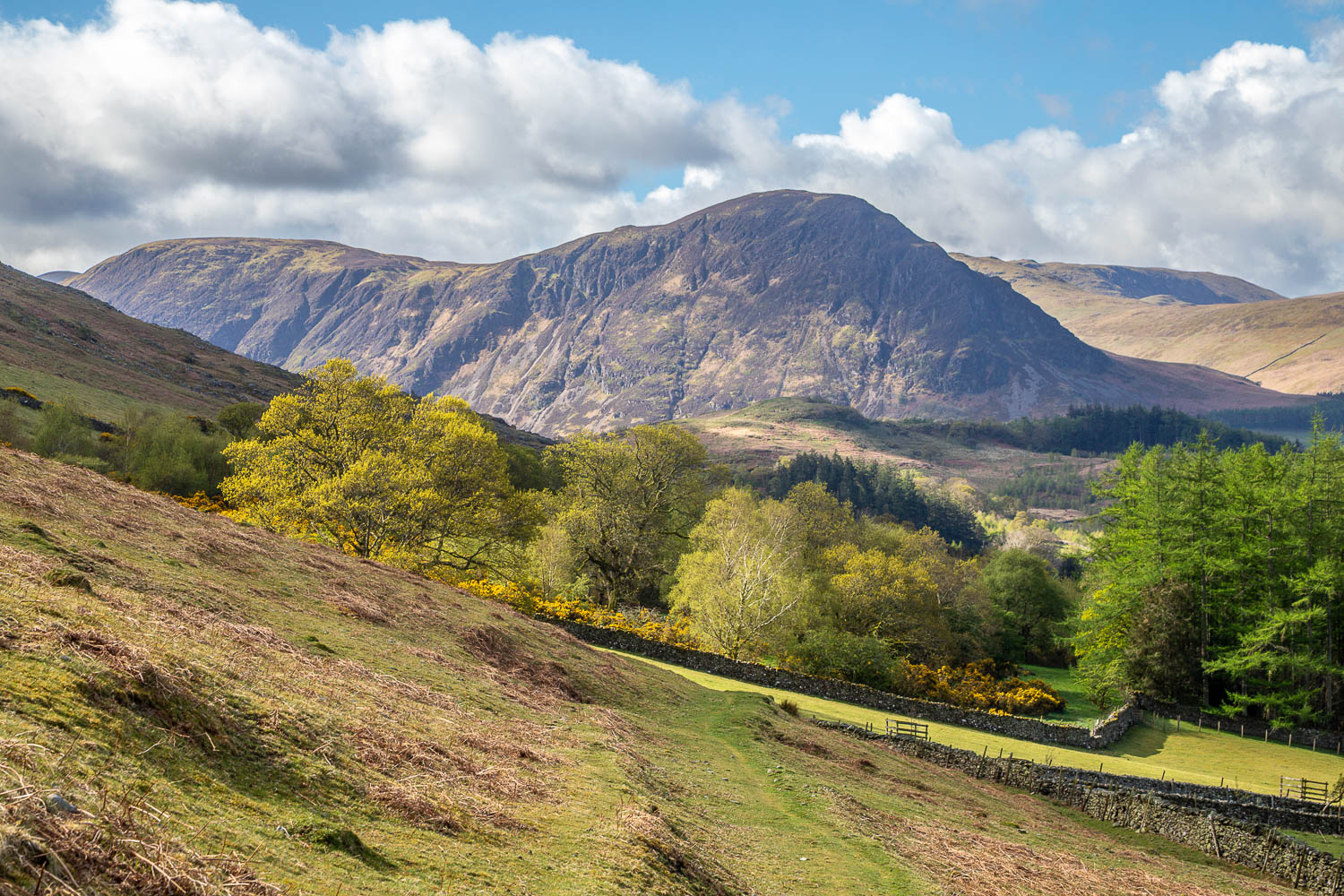
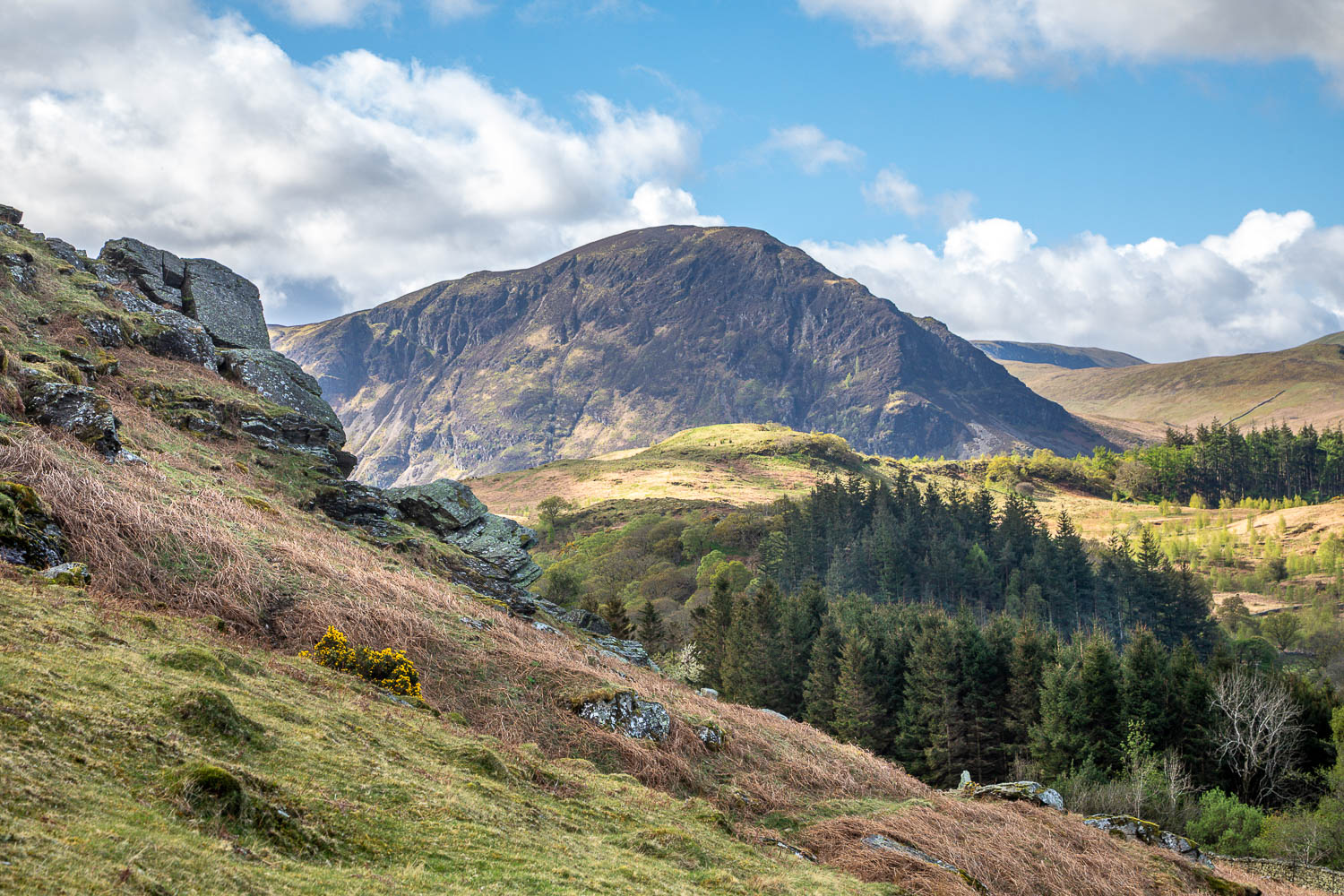
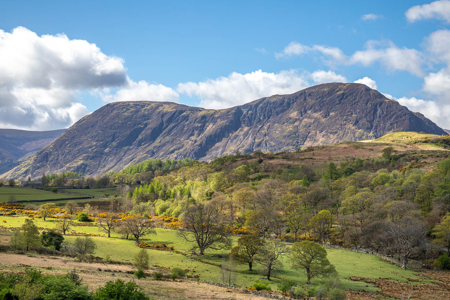
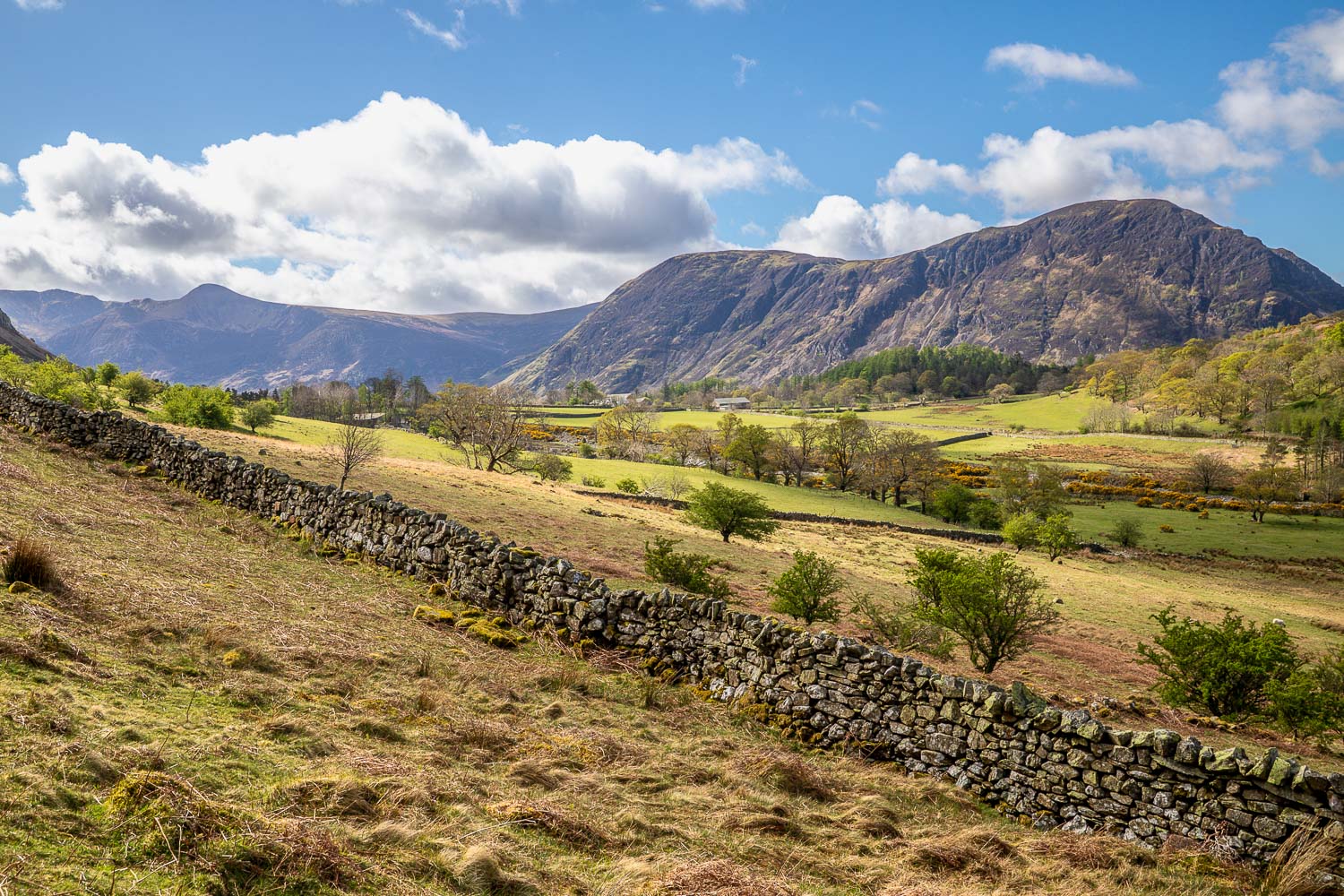
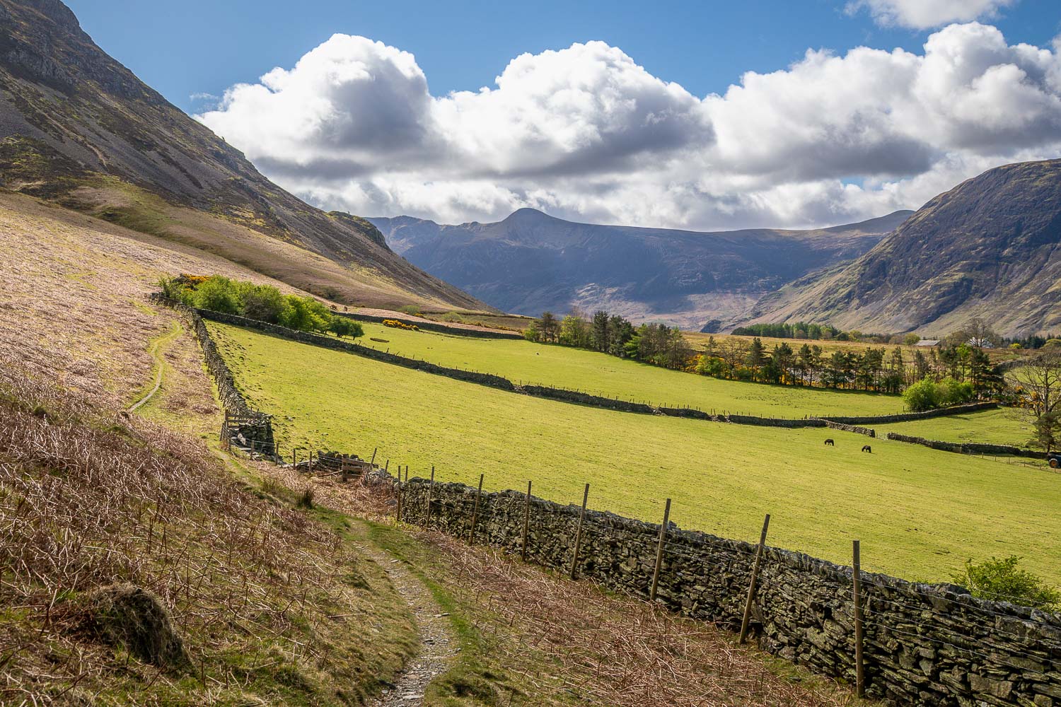
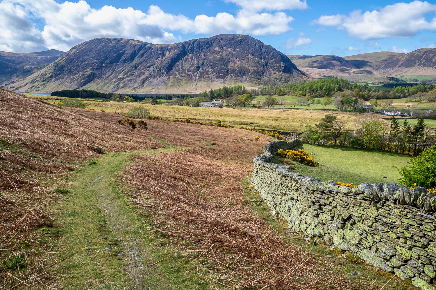
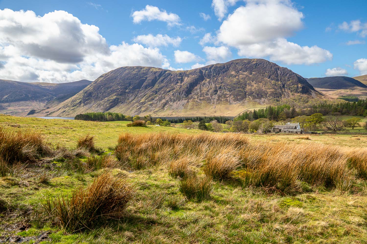
Beyond High Swinside I joined the gated road for a short distance and then joined a path which curves round the foot of Lorton Dodd. I crossed Hope Beck via the footbridge, installed about 3 years ago. This is a useful addition to the path, as fording the beck used to be quite tricky after rain. I then carried on round the foot of Dodd along a path which is juicy at all times. As I continued below Dodd and Whiteside the scenery became better and better, with views across Lorton Vale to Low Fell and Fellbarrow. Mellbreak is perhaps the dominant fell in Lorton Vale and its distinctive saddle back shape is well seen along the path
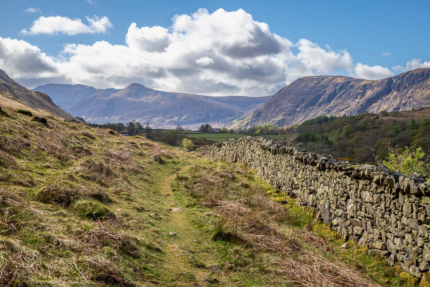
Navigation was a simple affair as I walked further into the valley and it was just a matter on keeping the dry stone wall on the right. Eventually the wall turned towards Crummock Water, and at this point I crossed the footbridge over Liza Beck before strolling down to Lanthwaite Green to the end of a wonderful walk
For other walks here, visit my Find Walks page and enter the name in the ‘Search site’ box
Click on the icon below for the route map (subscribers to OS Maps can view detailed maps of the route, visualise it in aerial 3D, and download the GPX file. Non-subscribers will see a base map)
Scroll down – or click on any photo to enlarge it and you can then view as a slideshow

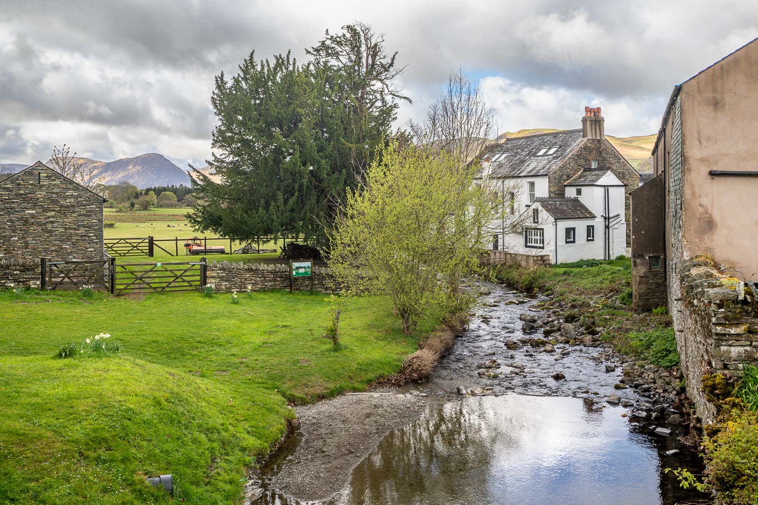
The start of the walk from High Lorton, as I pass by Yew Tree Hall, once the malting barn for Jennings brewery, and now the community centre for the village


