Route: Circuit of Lorton Vale
Area: Western Lake District
Date of walk: 18th February 2015
Walkers: Andrew
Distance: 7.5 miles
Weather: Low cloud, high wind, constant rain – in a word, awful
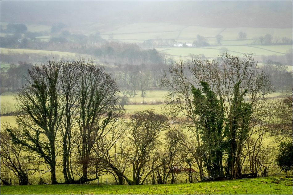
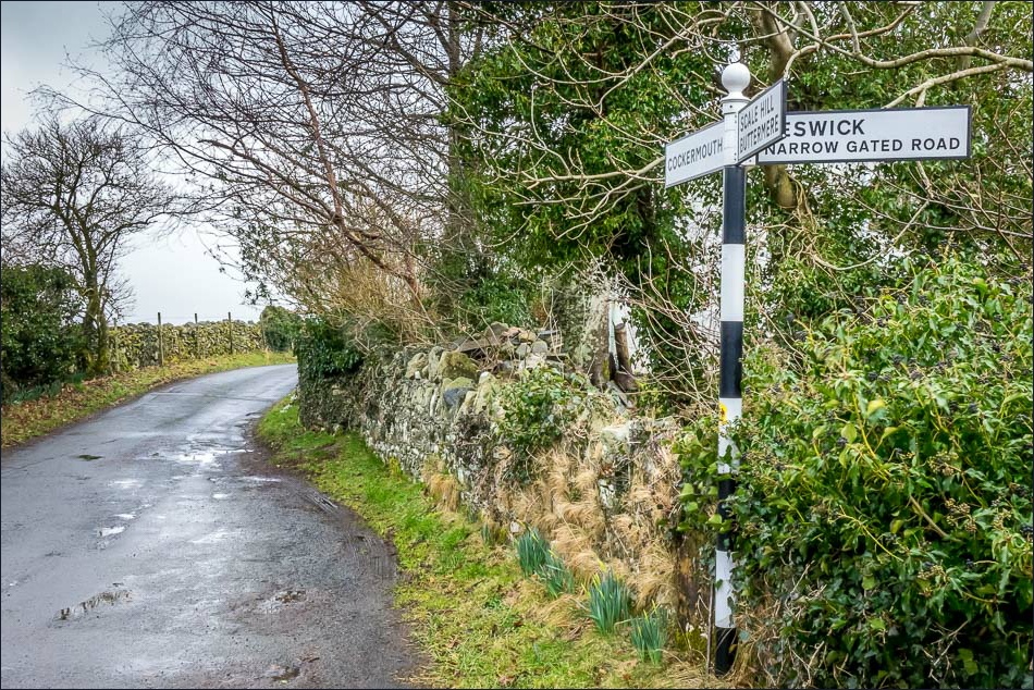
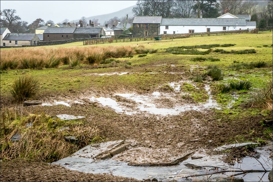
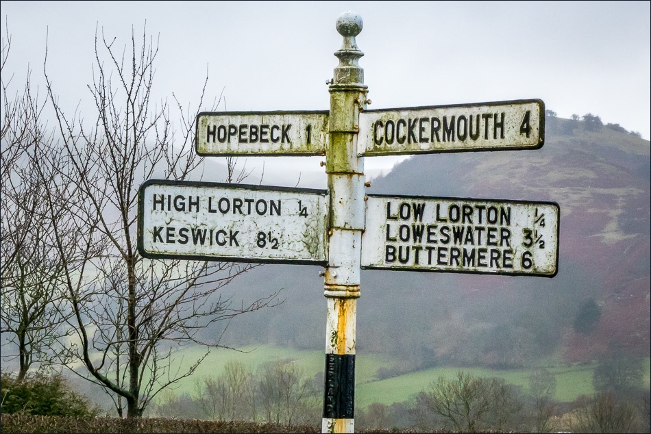
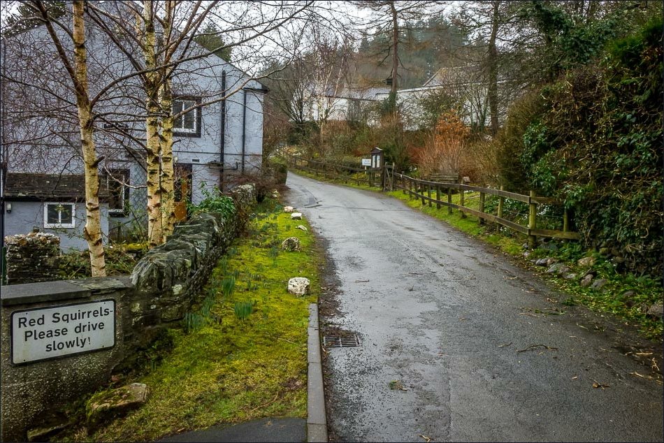
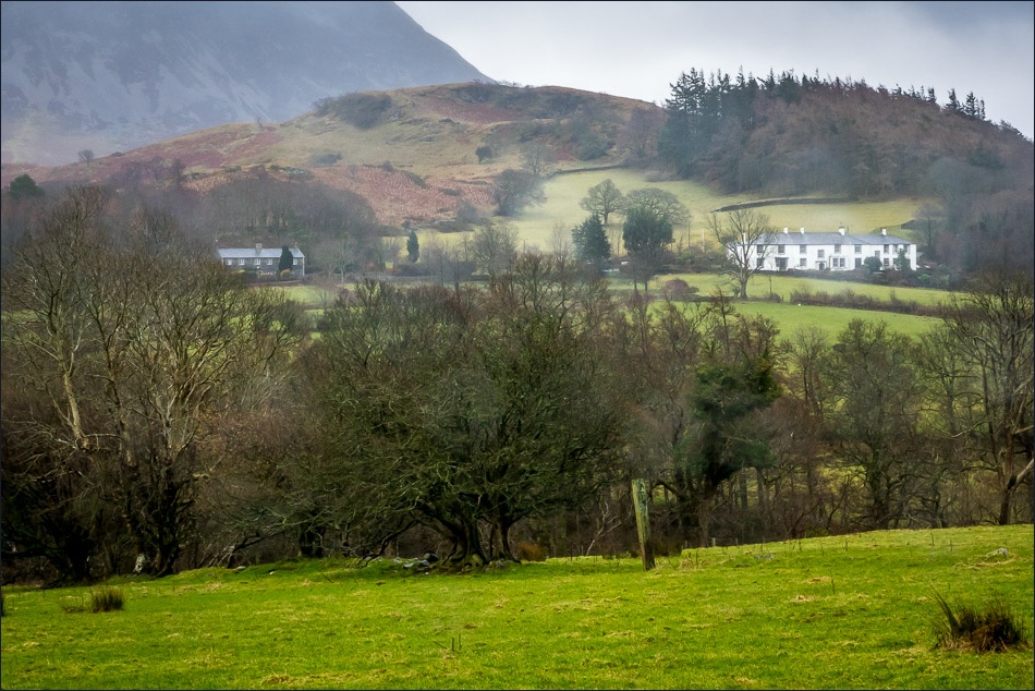
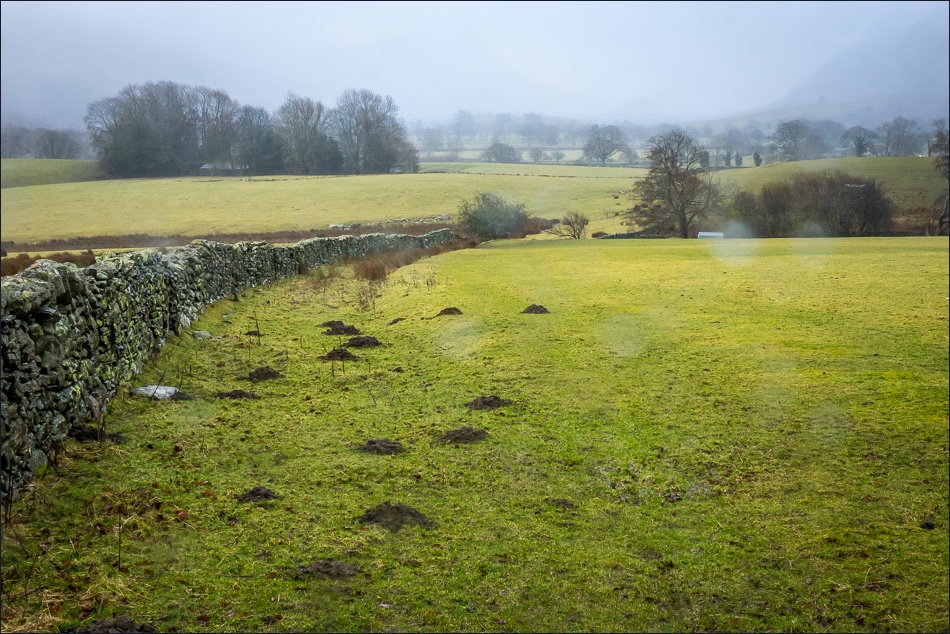
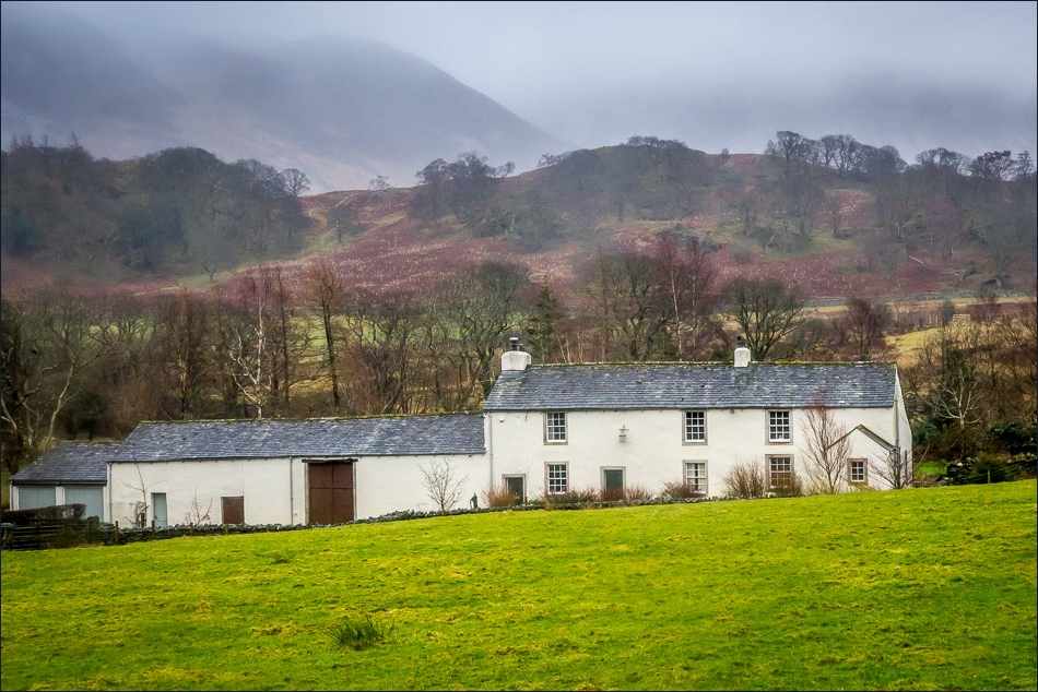
A high level walk was off the cards today as the fells could hardly be seen, so I decided on a local low level walk round the valley. I set off from home and walked along the lane through Hopebeck (anyone else following this walk could start in Lorton or from Scale Hill car park). The paths across the fields took me into High Lorton
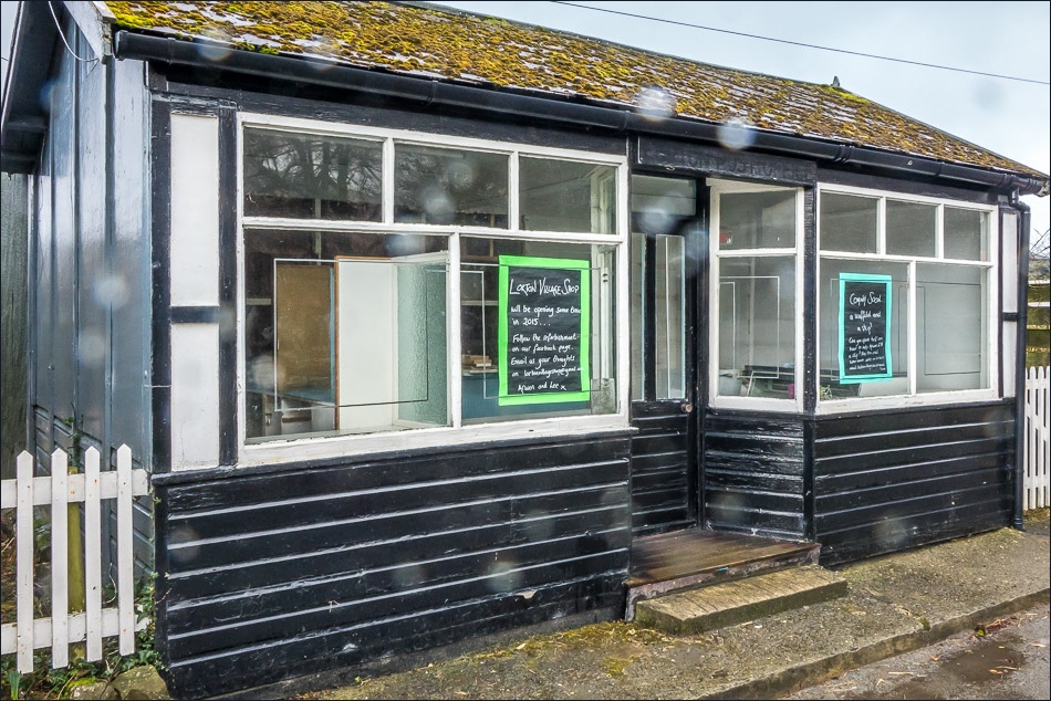
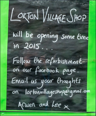
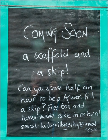
As I walked through the village, it was great to see that the village shop, which has been closed for a considerable time, is soon to be re-opened by new owners Arwen and Lee. Good luck with your new venture and I hope there is plenty of local support for you
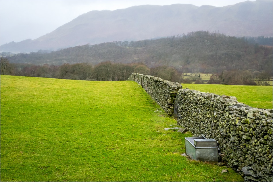
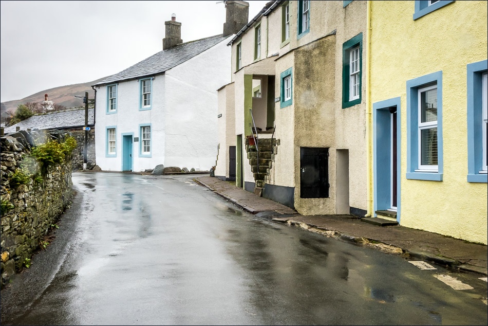
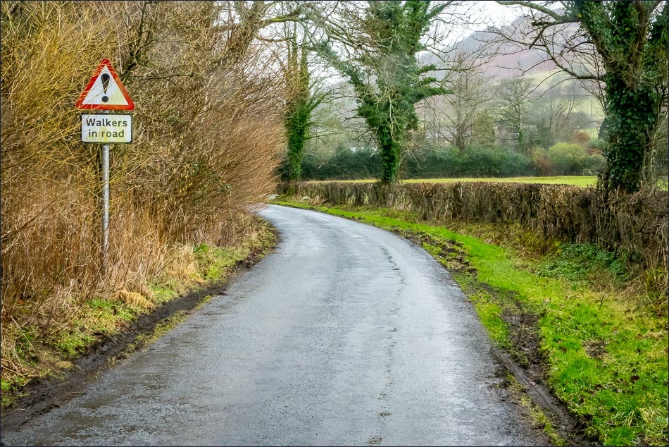
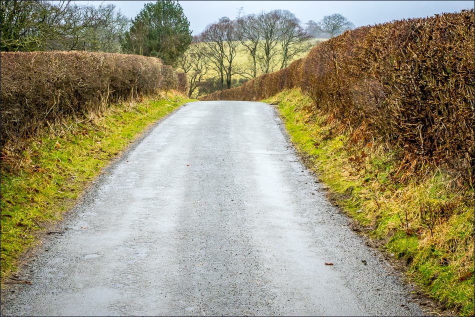
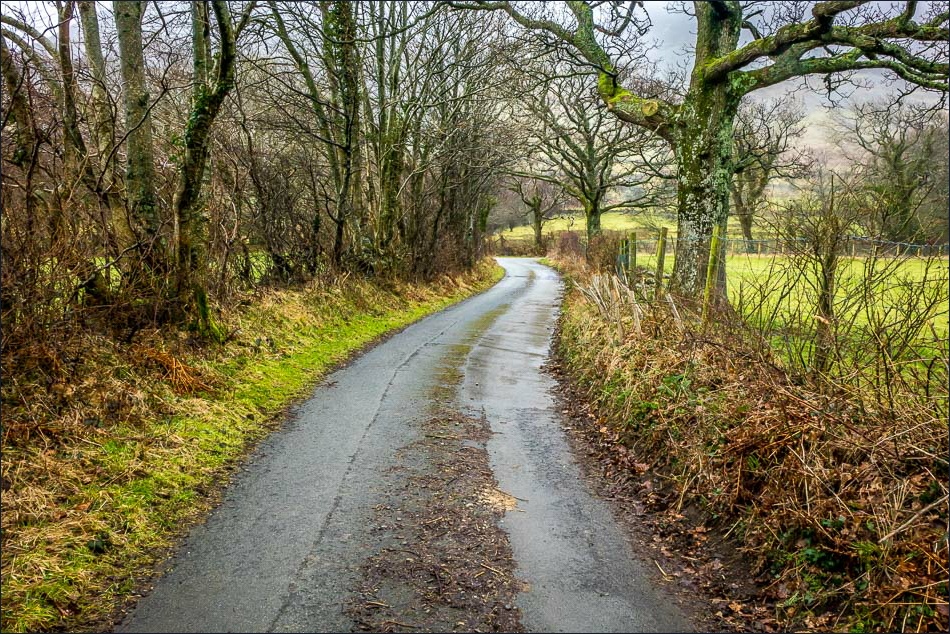
After walking through Low Lorton, I followed the lane which runs along the other side of the valley. It’s a lengthy road section, but not an issue. The lane is very quiet, and I didn’t see a single car
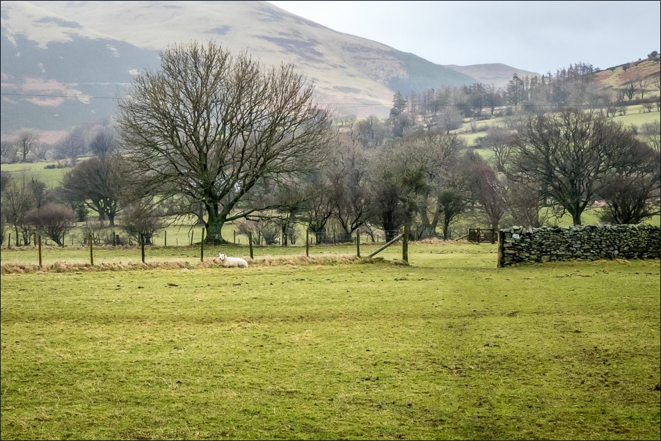
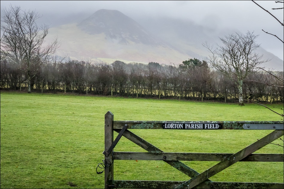
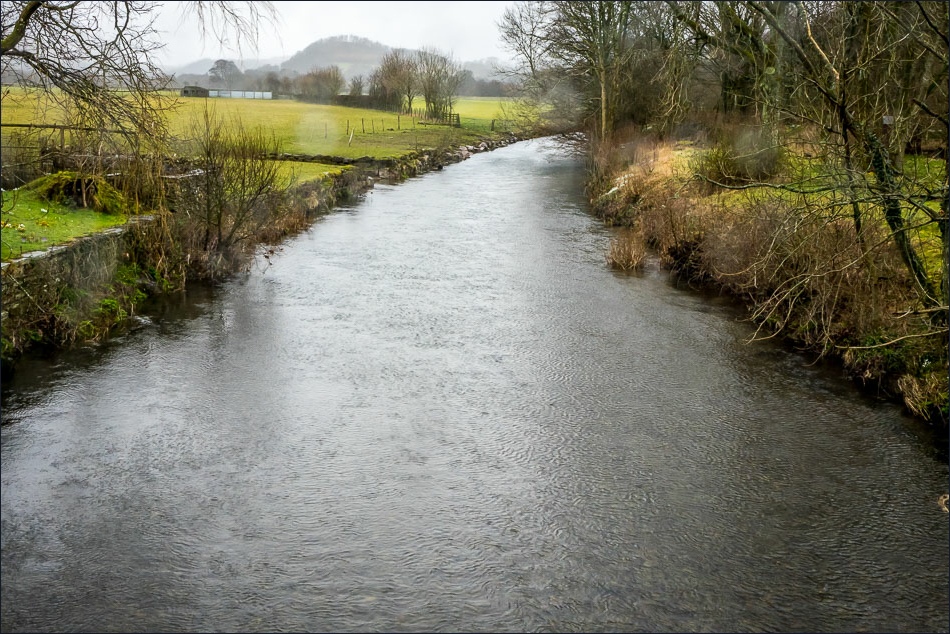
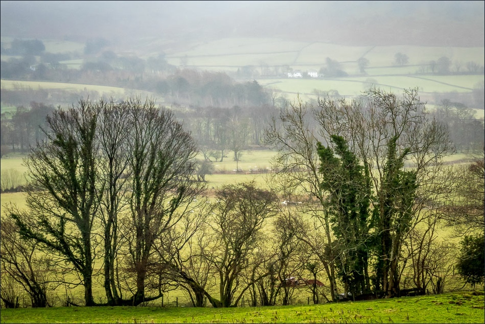
The weather deteriorated as I went along. Visibility was very poor and the rain became heavier – and kept getting on the camera lens. The fabulous view from Foulsyke (the best view in England from a road in my opinion) was a complete wash out
I was planning to walk to Crummock Water and return via the high level path but in view of the conditions I decided to cut my losses, and returned to the start via the road
For other walks here, visit my Find Walks page and enter the name in the ‘Search site’ box
Click on the icon below for the route map (subscribers to OS Maps can view detailed maps of the route, visualise it in aerial 3D, and download the GPX file. Non-subscribers will see a base map)
Scroll down – or click on any photo to enlarge it and you can then view as a slideshow
