Route: Lauenensee
Area: Bernese Oberland, Switzerland
Date of walk: 20th June 2019
Walkers: Andrew and Gilly
Distance: 9.5 miles
Ascent: 800 feet
Weather: Cloudy at first, gradually improving
The final day of our walking holiday in the Bernese Oberland, arranged via Inntravel, got off to a bad start. We awoke to heavy rain and thick cloud, and the weather forecast was for more of the same. Our original plan had been to walk from our hotel on the outskirts of Lauenen and climb up to the Hohn Wispile ridge, which has panoramic views
We decided to buy some time, and save some climbing, by reversing the route. We took the bus from Lauenen to Gstaad and, after walking past some expensive designer shops, arrived at the base station of the Wispile cable car, on the edge of the town. The weather was miserable. It was raining quite heavily, and there was no sign of an improvement. We hopped on board the cable car but as it gradually ascended the hillside conditions worsened, there were no views at all, and we began to contemplate returning to base and abandoning the idea of a walk
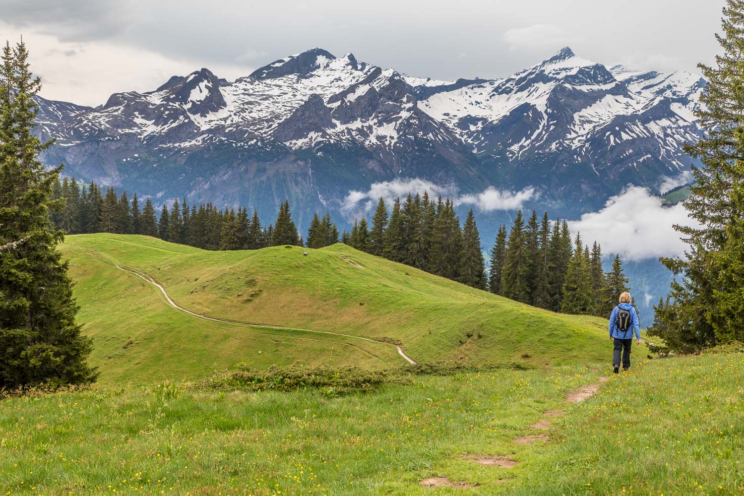
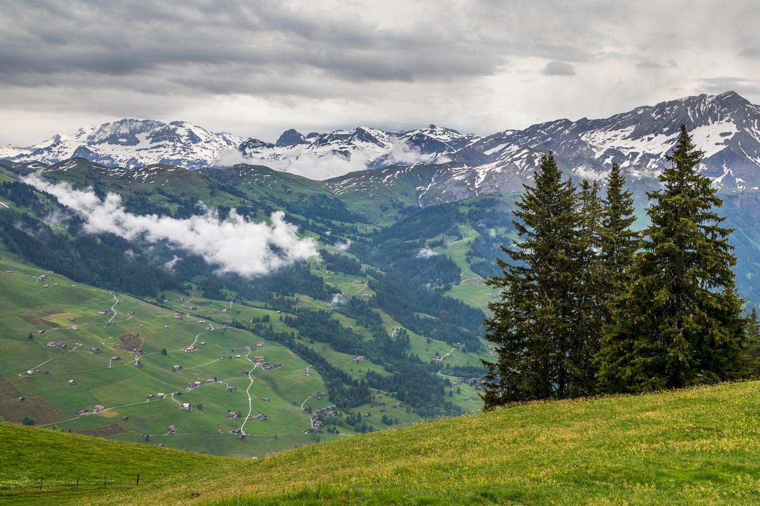
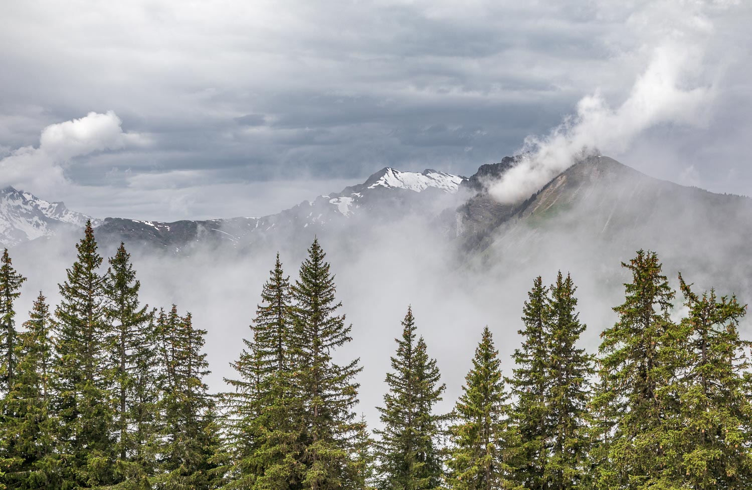
We disembarked at the top station, at a height of over 6,000 feet, to assess the conditions. Whilst they weren’t promising, at least the rain had stopped and we could see the surrounding mountains. It was game on, and so we set off along the grassy ridge with low expectations, assuming we’d be overtaken by more rain. By great good fortune the weather improved as we progressed, the clouds gradually lifted from the lower valley (enveloping us at times), and we enjoyed some wonderful views – even more enjoyable in view of our gloomy predictions
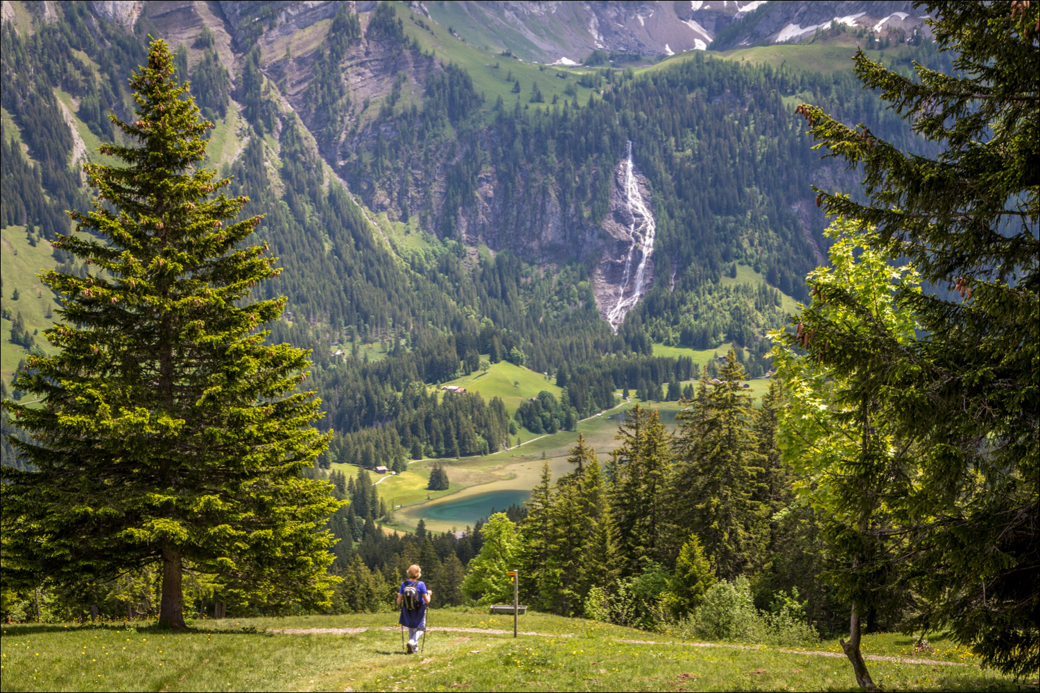
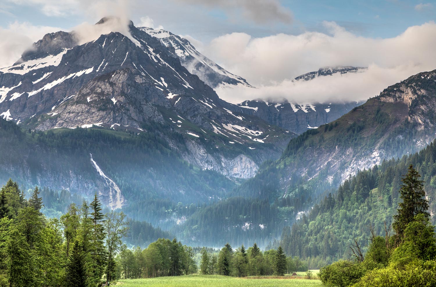
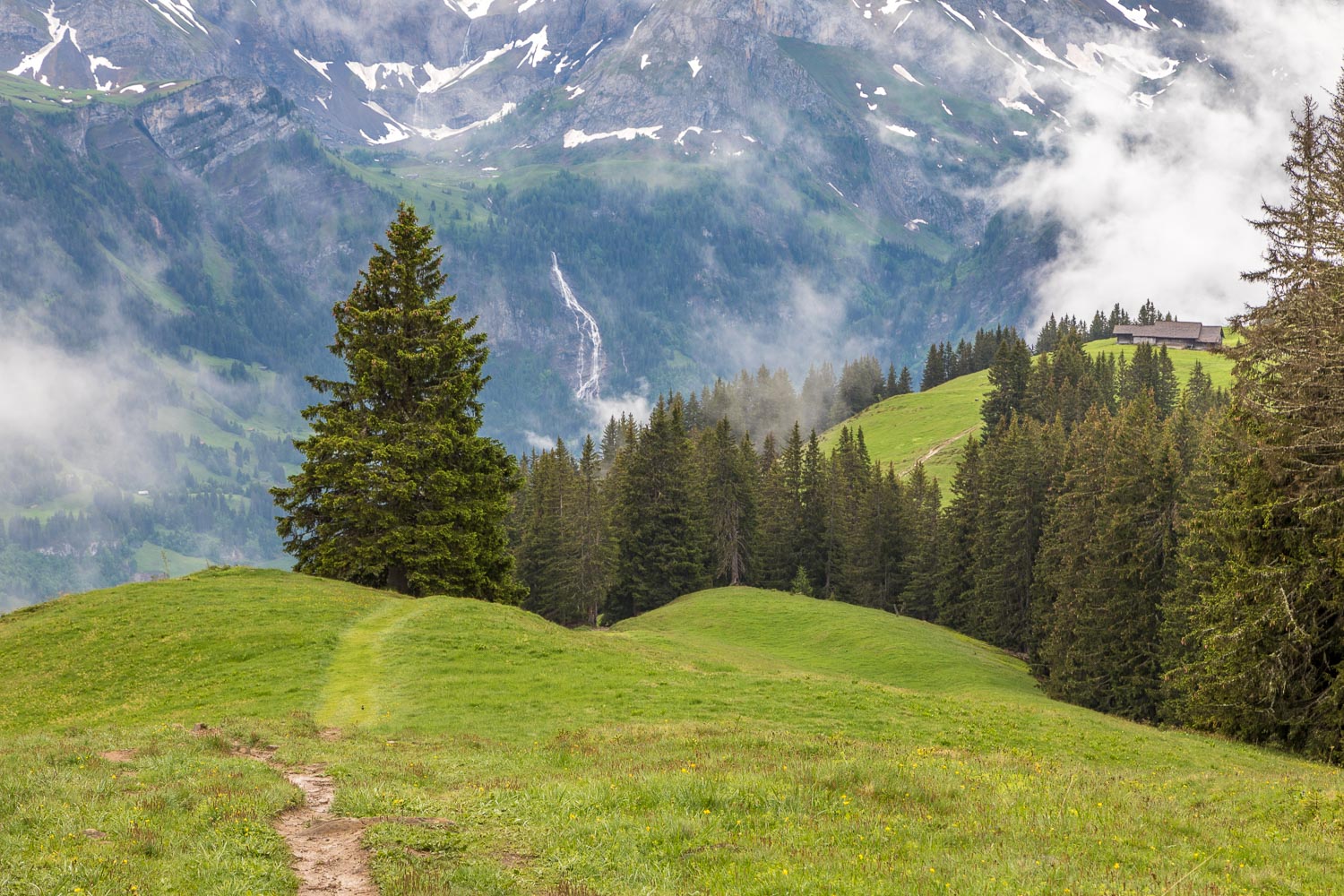
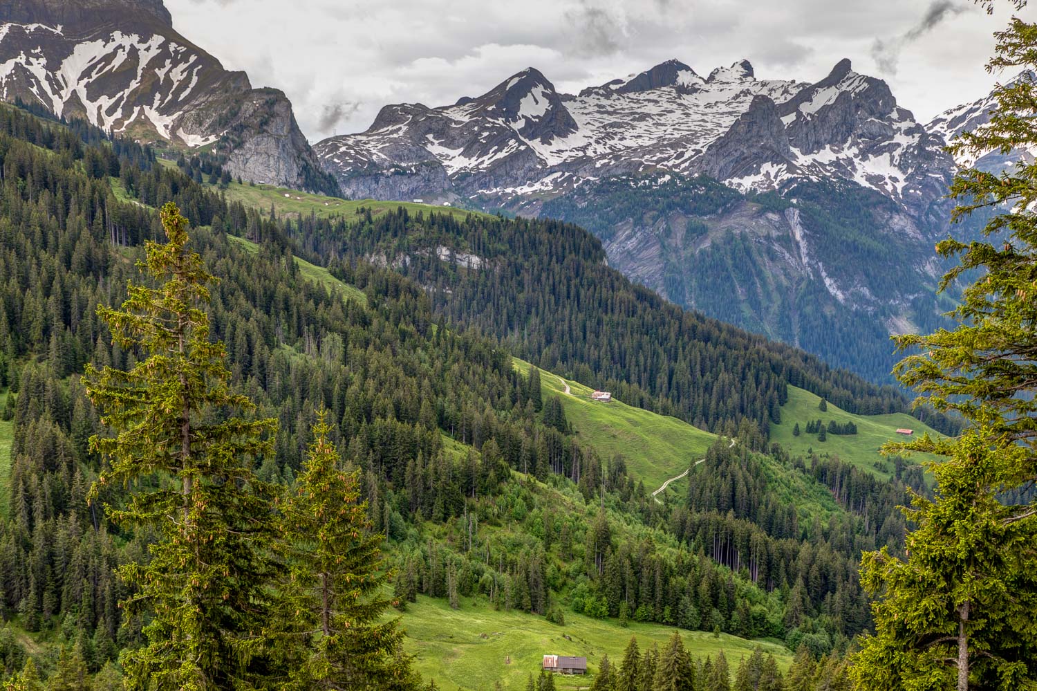
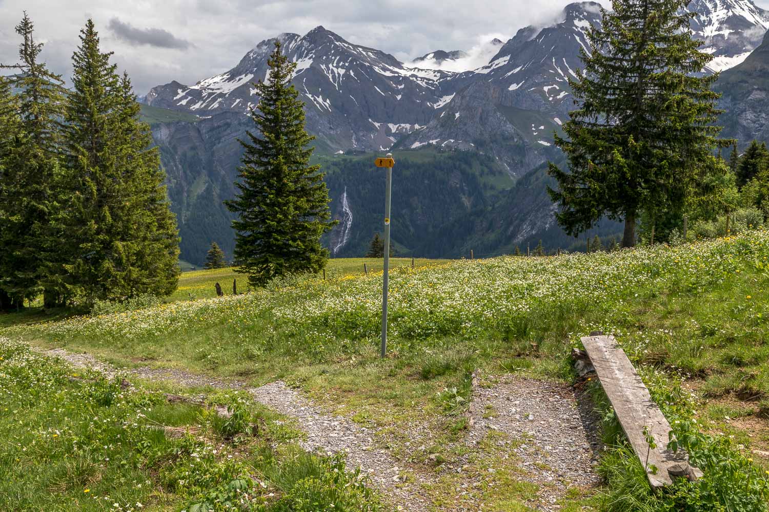
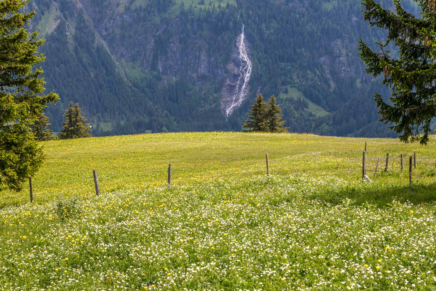
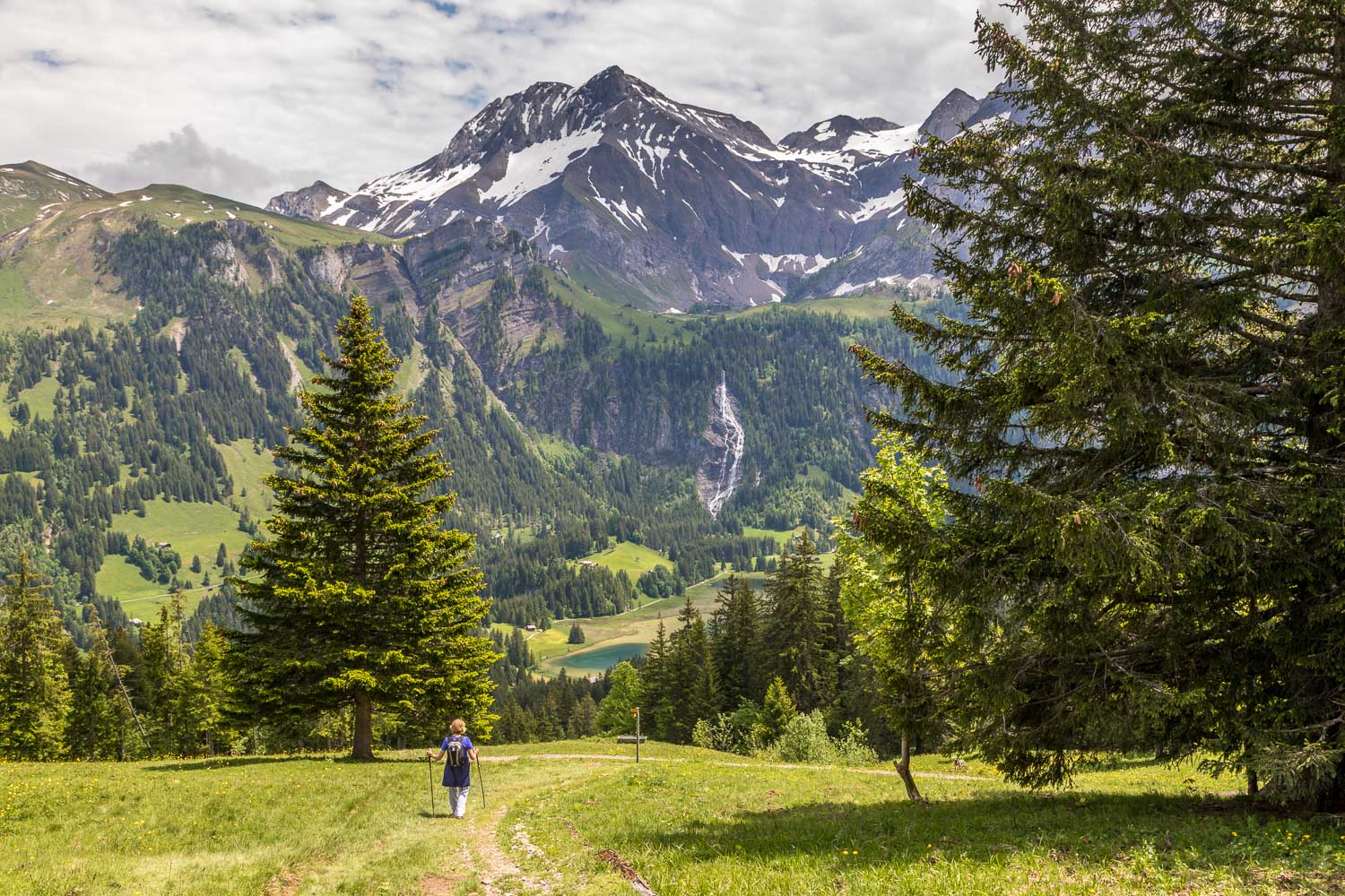
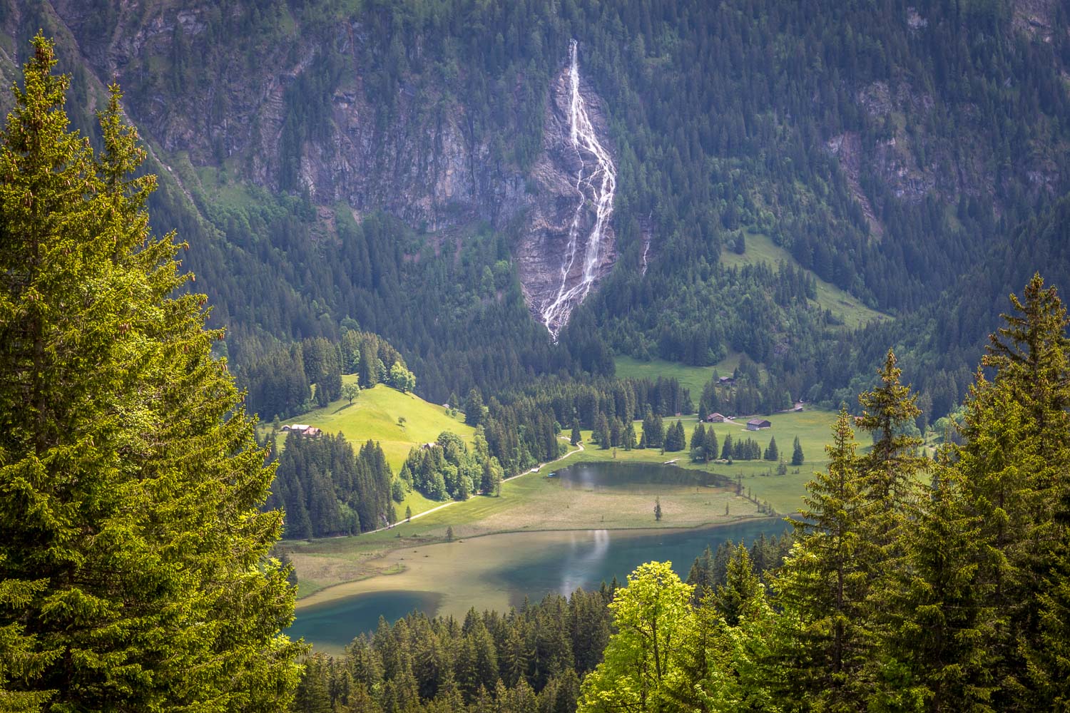
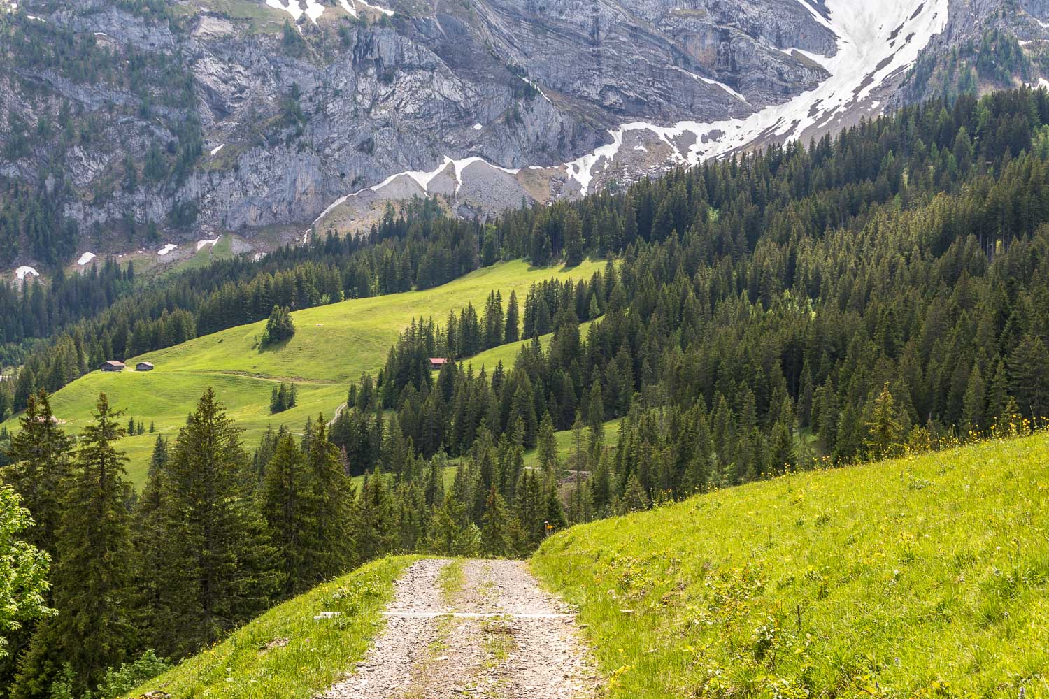
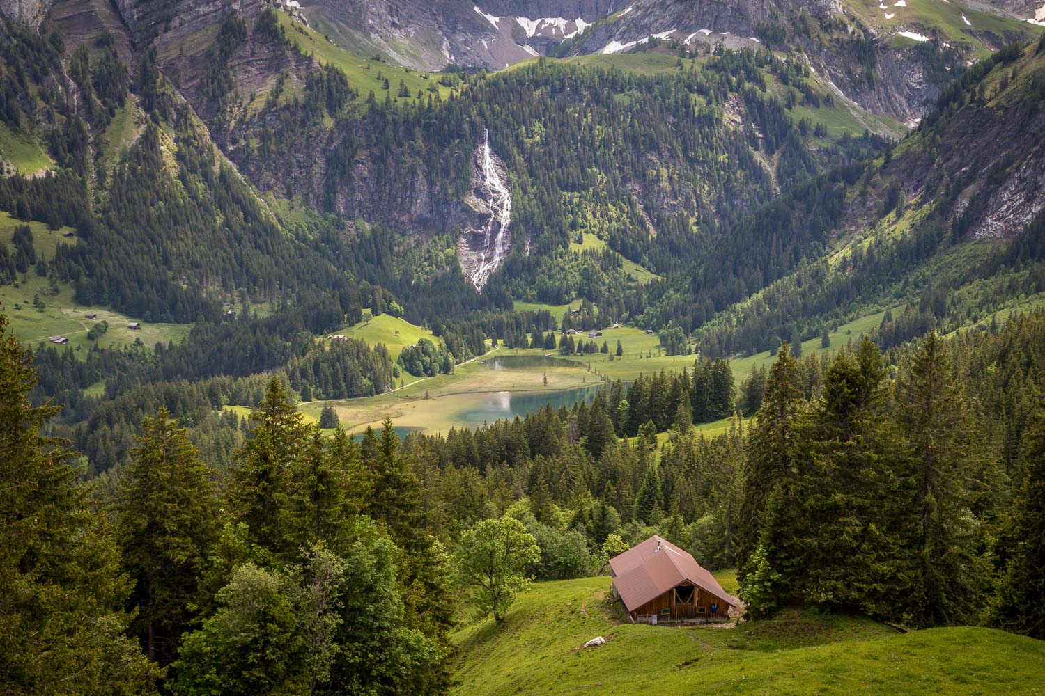
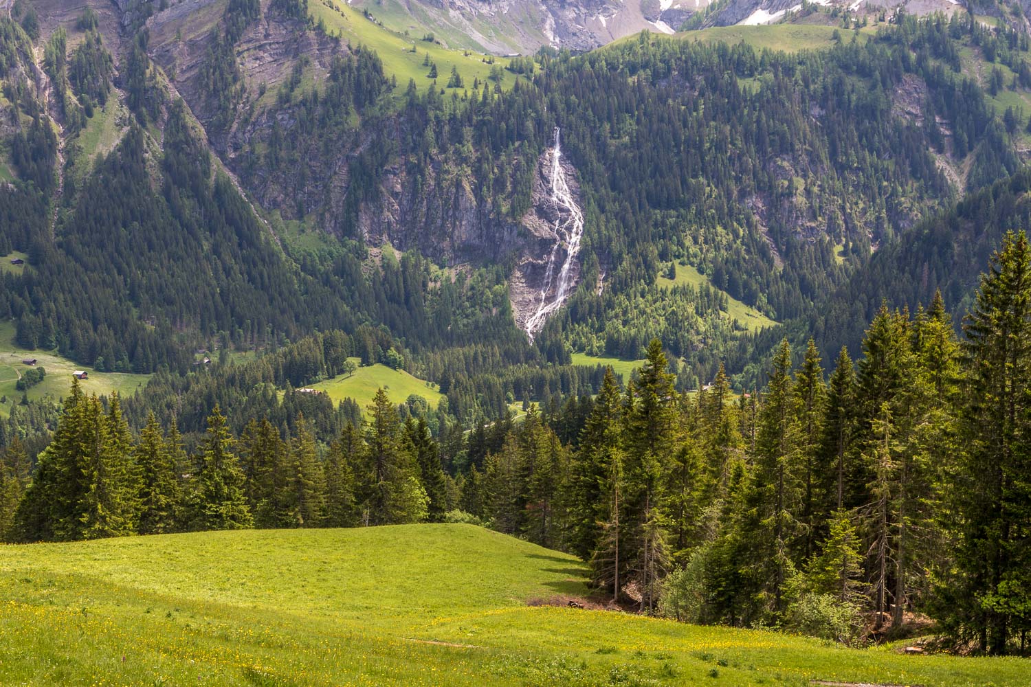
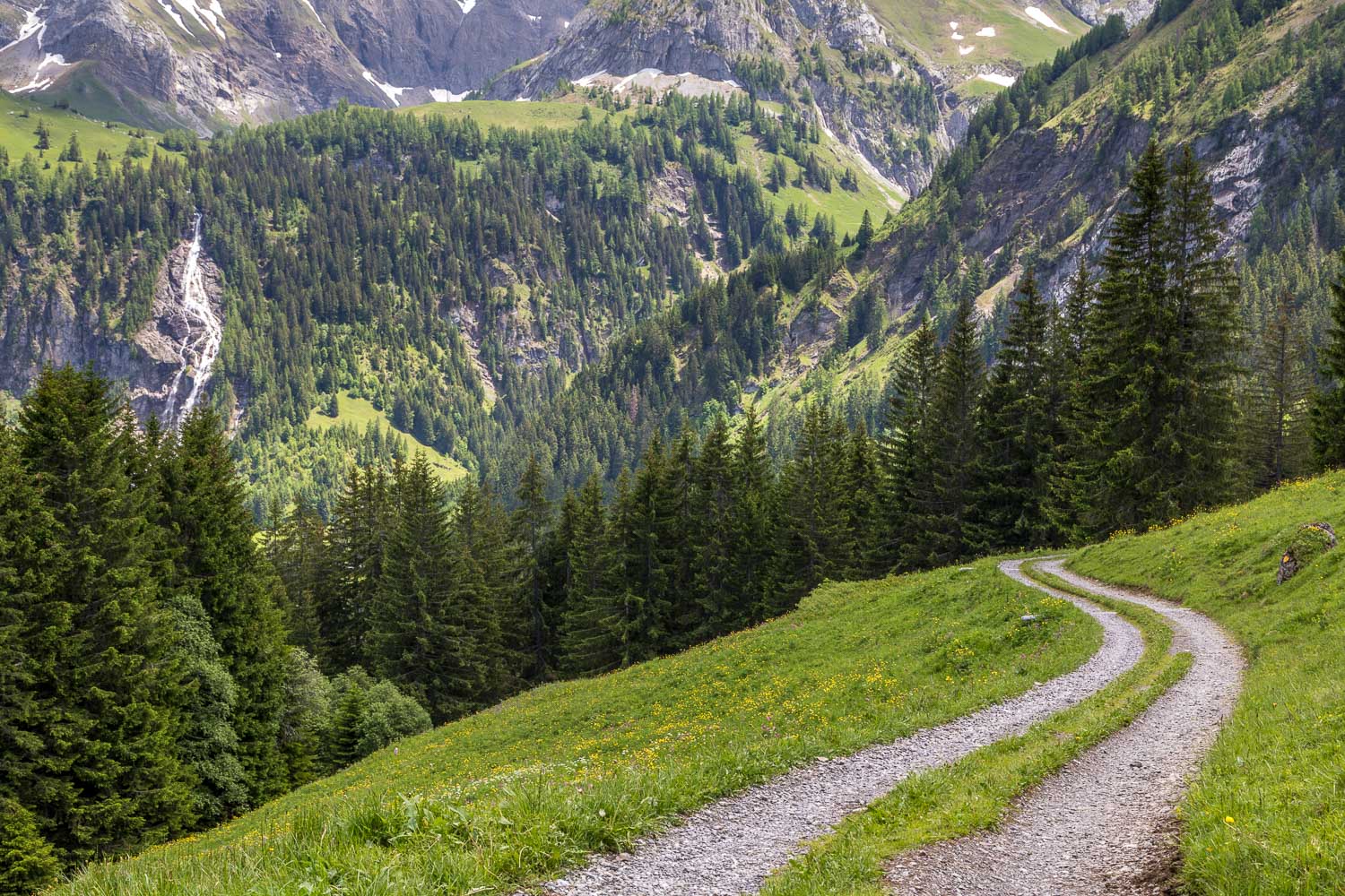
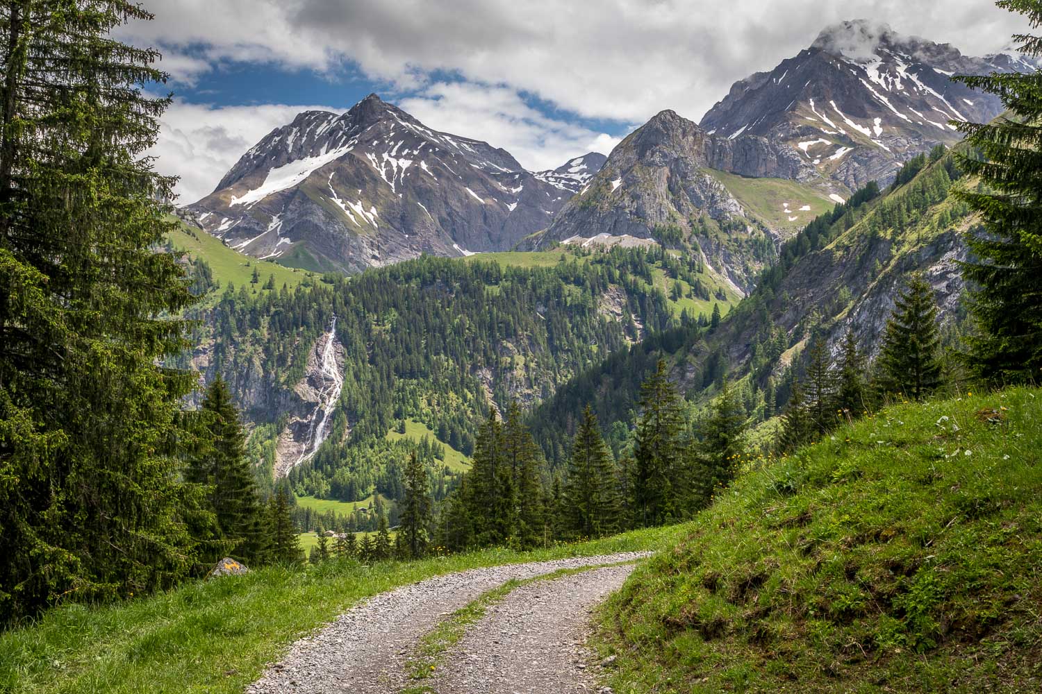
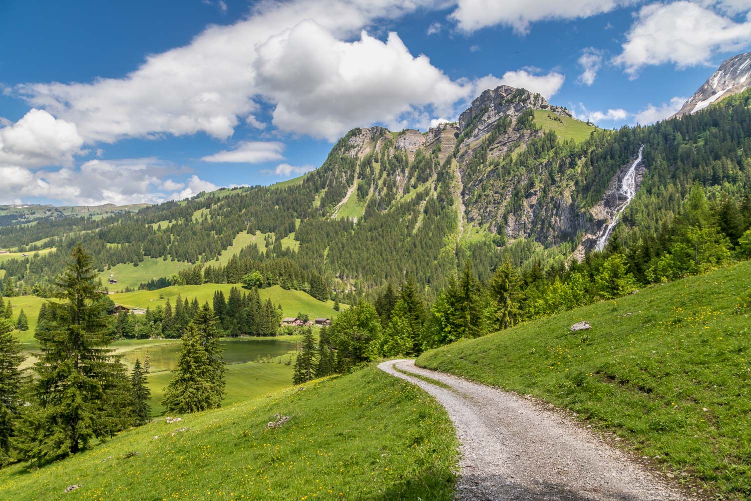
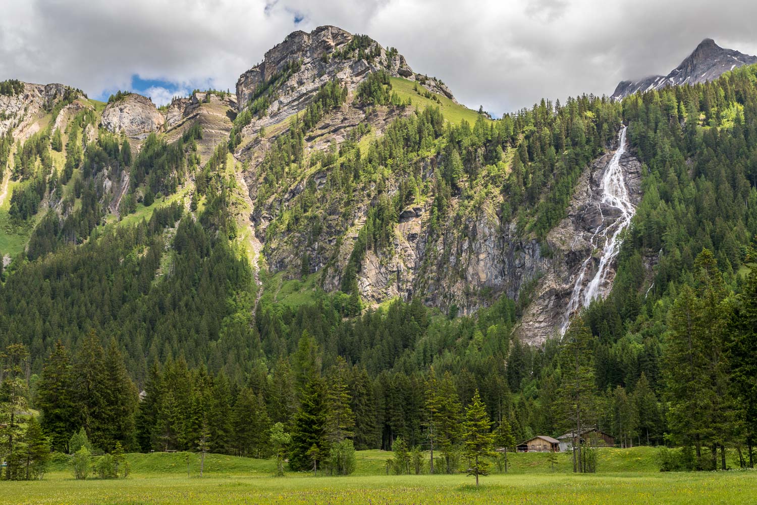
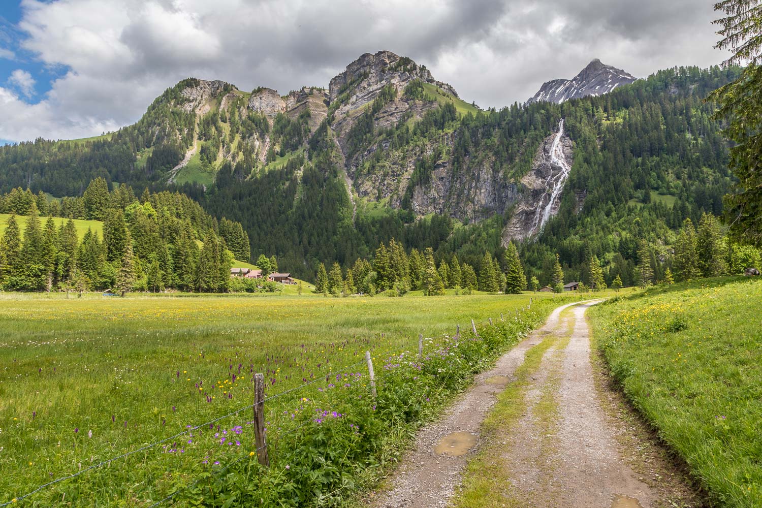
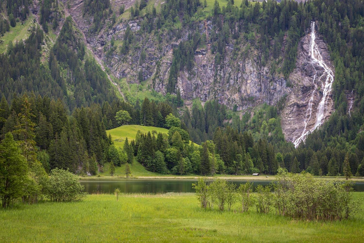
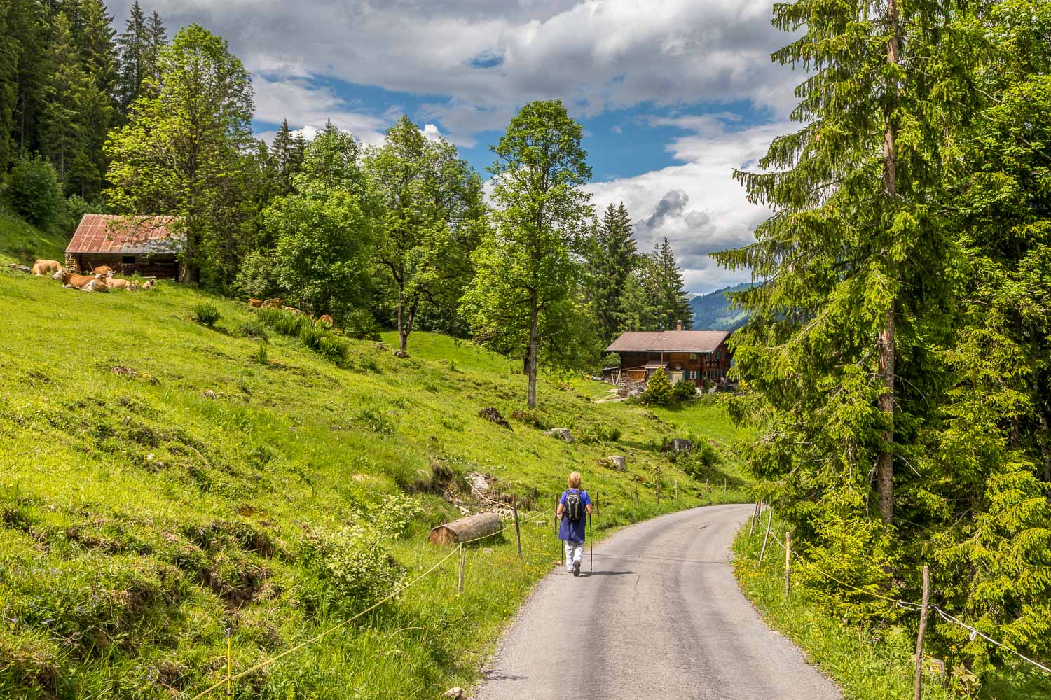
We eventually arrived at the Chrine Pass, where we had to decide whether to descend back into Lauenen, where we were staying, or to extend the walk by continuing to Lauenensee. In view of the ever improving weather we opted for the latter, which involved an ascent and a descent to the shore of the lake. There were some wonderful views of the massive Tungelschuss waterfall tumbling down the cliffs as we followed the easy paths
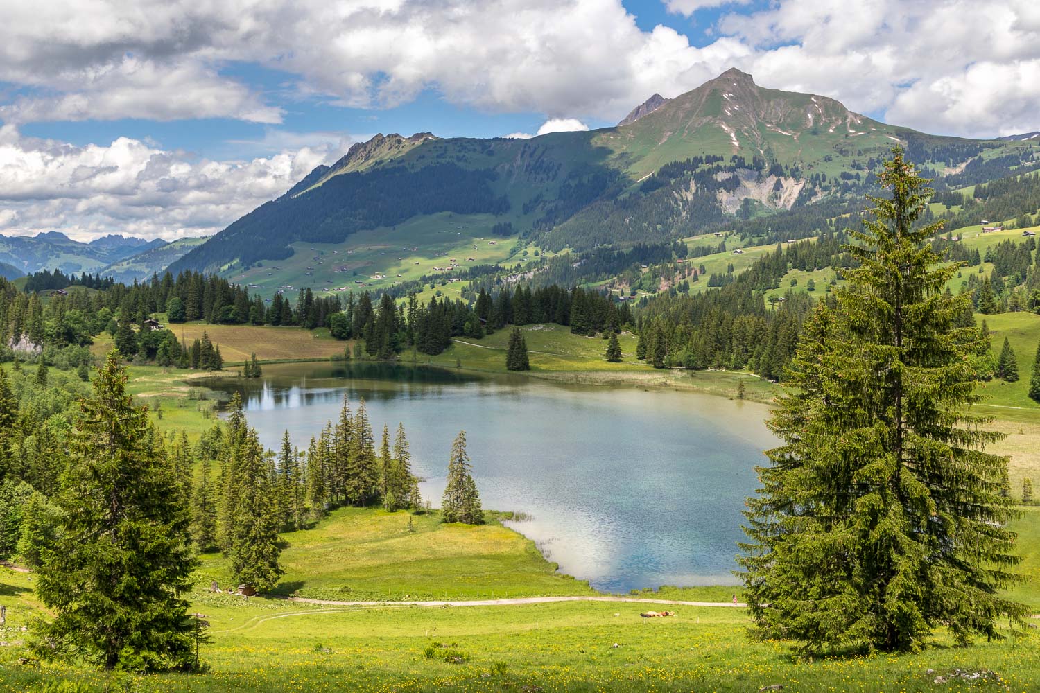
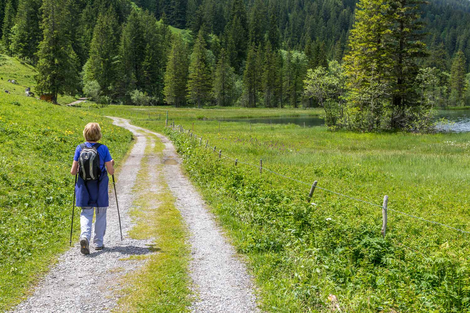
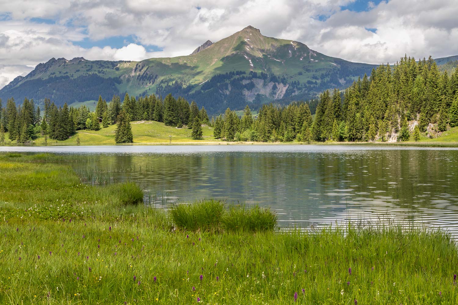
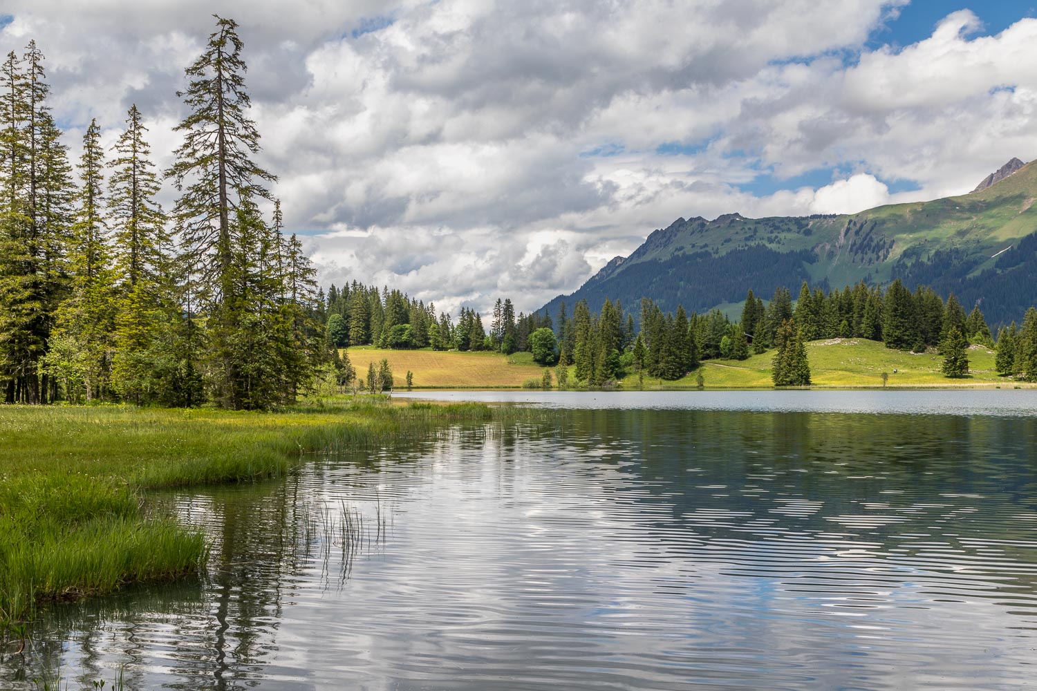
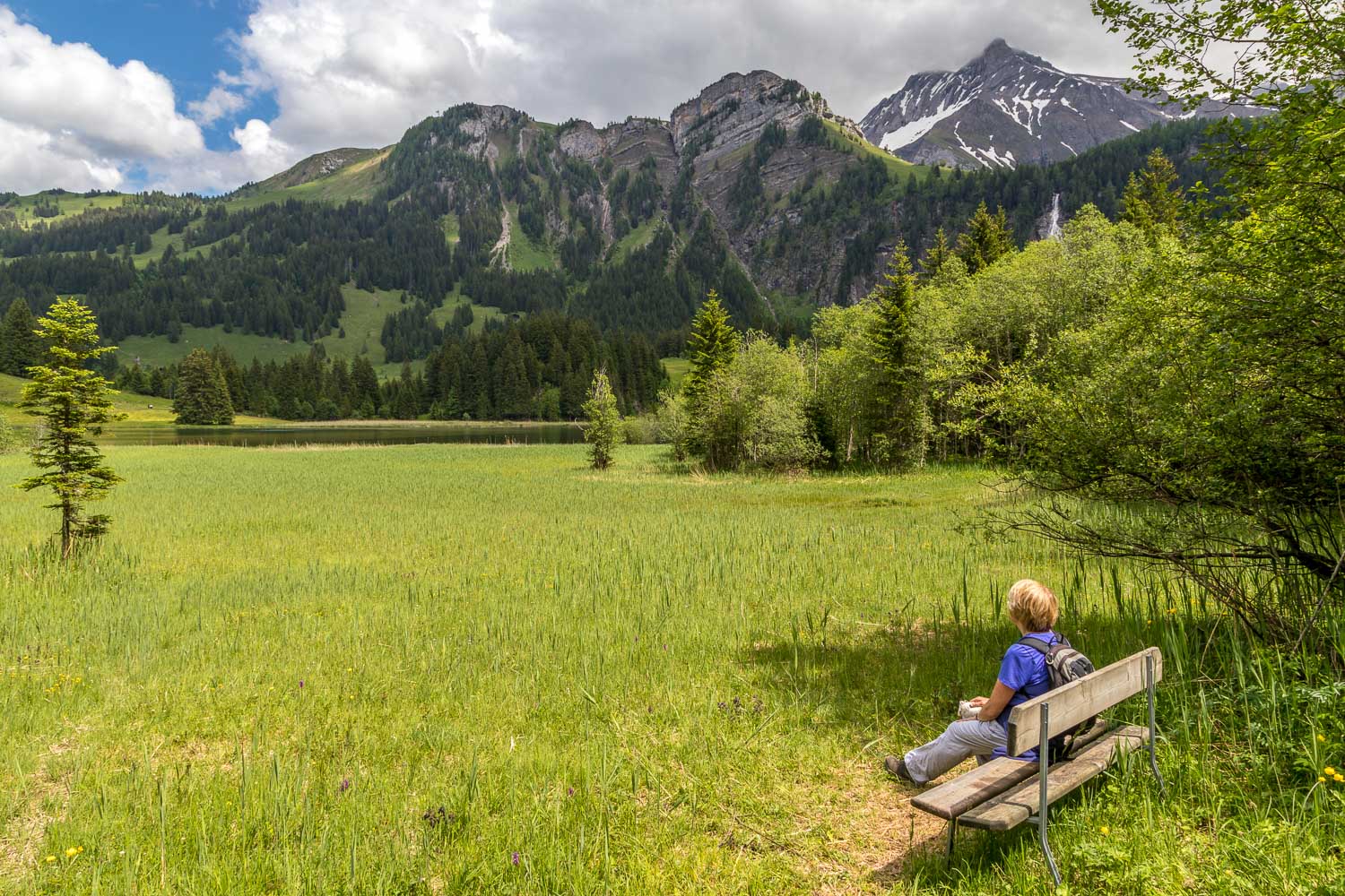
Eventually we arrived at the head of Lauenensee. We could have turned left or right here – either path would have brought us to the foot of the lake. We turned left and followed the lakeshore path, which eventually met up with the quiet road leading back to our hotel (the highly recommended Hotel Alpenland for anyone looking for a base in this area)
It had been a wonderful climax to 6 days of walking in the Bernese Oberland
Click on the icon below for the route map
Scroll down – or click on any photo to enlarge it and you can then view as a slideshow
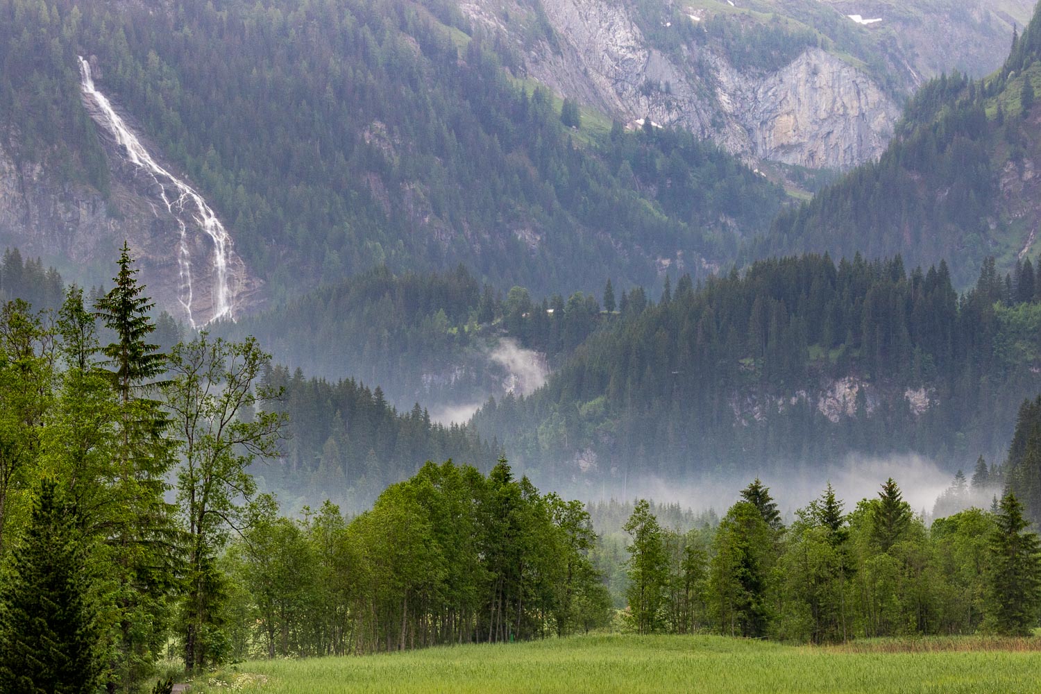
As forecast, low cloud and persistent rain set in, but it was our last day and we wanted to make the most of it
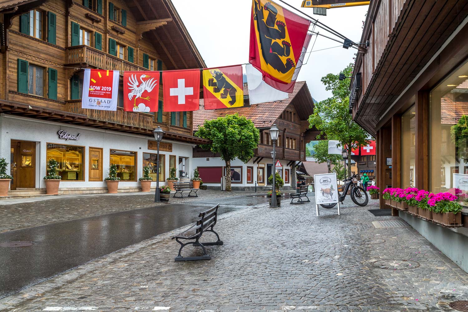
After taking the bus to Gstaad, we trudged through the town to seek out the cable car - no photos for the next 40 minutes or so as the weather was miserable, with low cloud and heavy rain
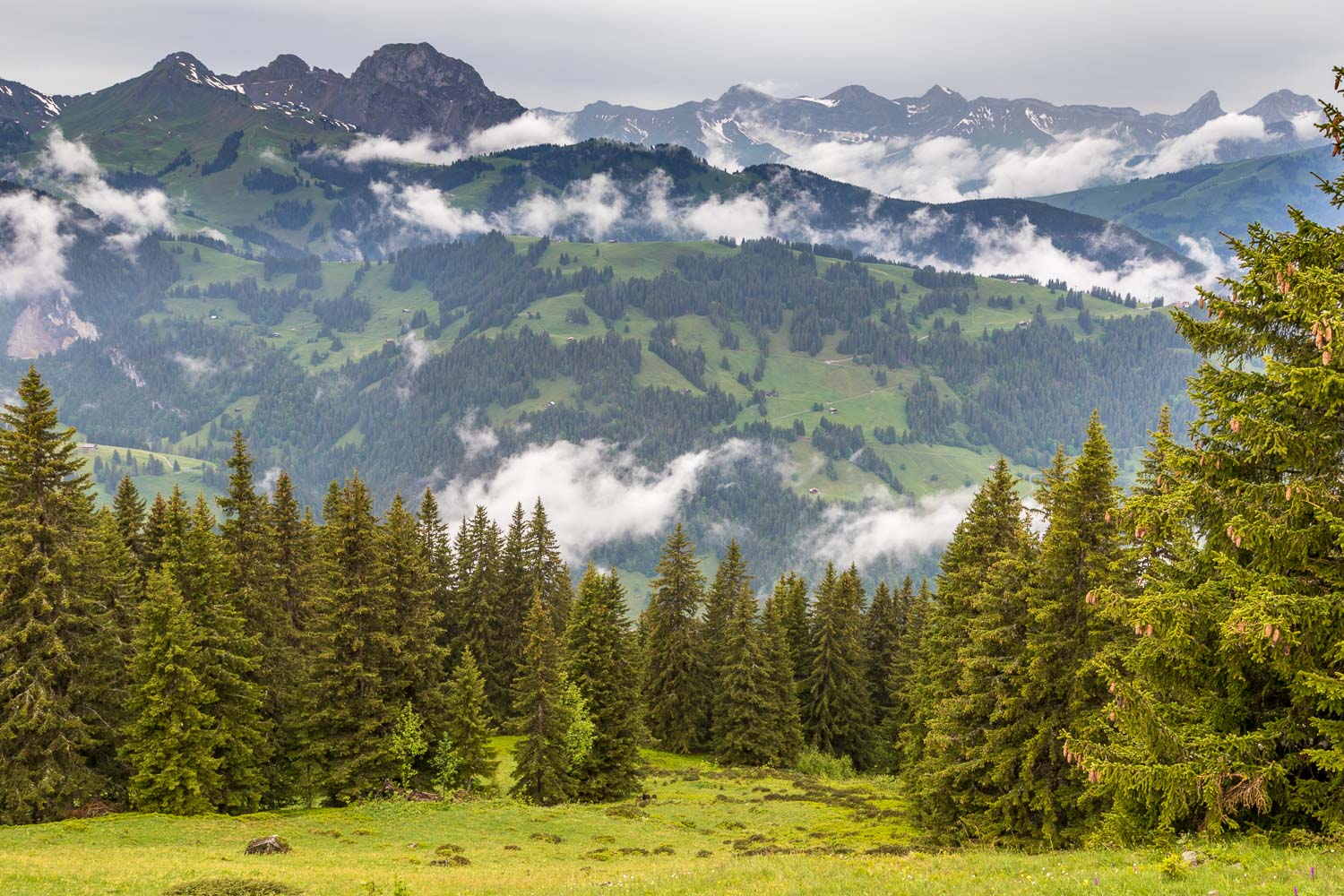
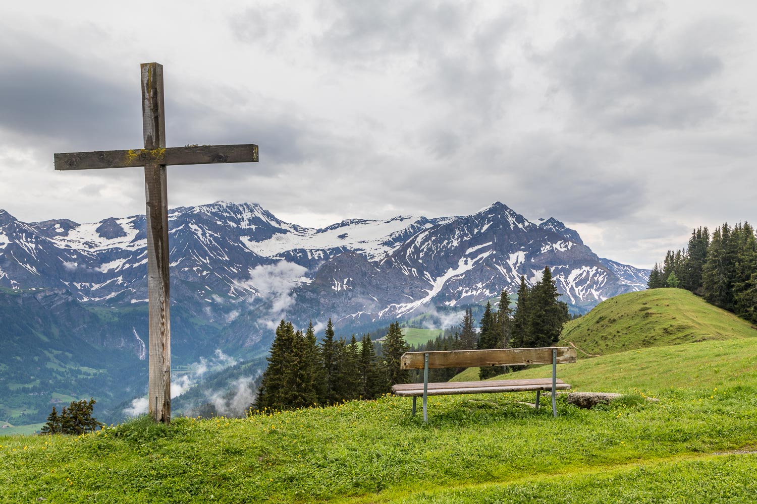
We took the cable car from Gstaad through thick cloud and rain, with no views at all, and disembarked here. Miraculously the clouds parted and the rain stopped. We'd almost given up on the idea of a walk, but decided to press on
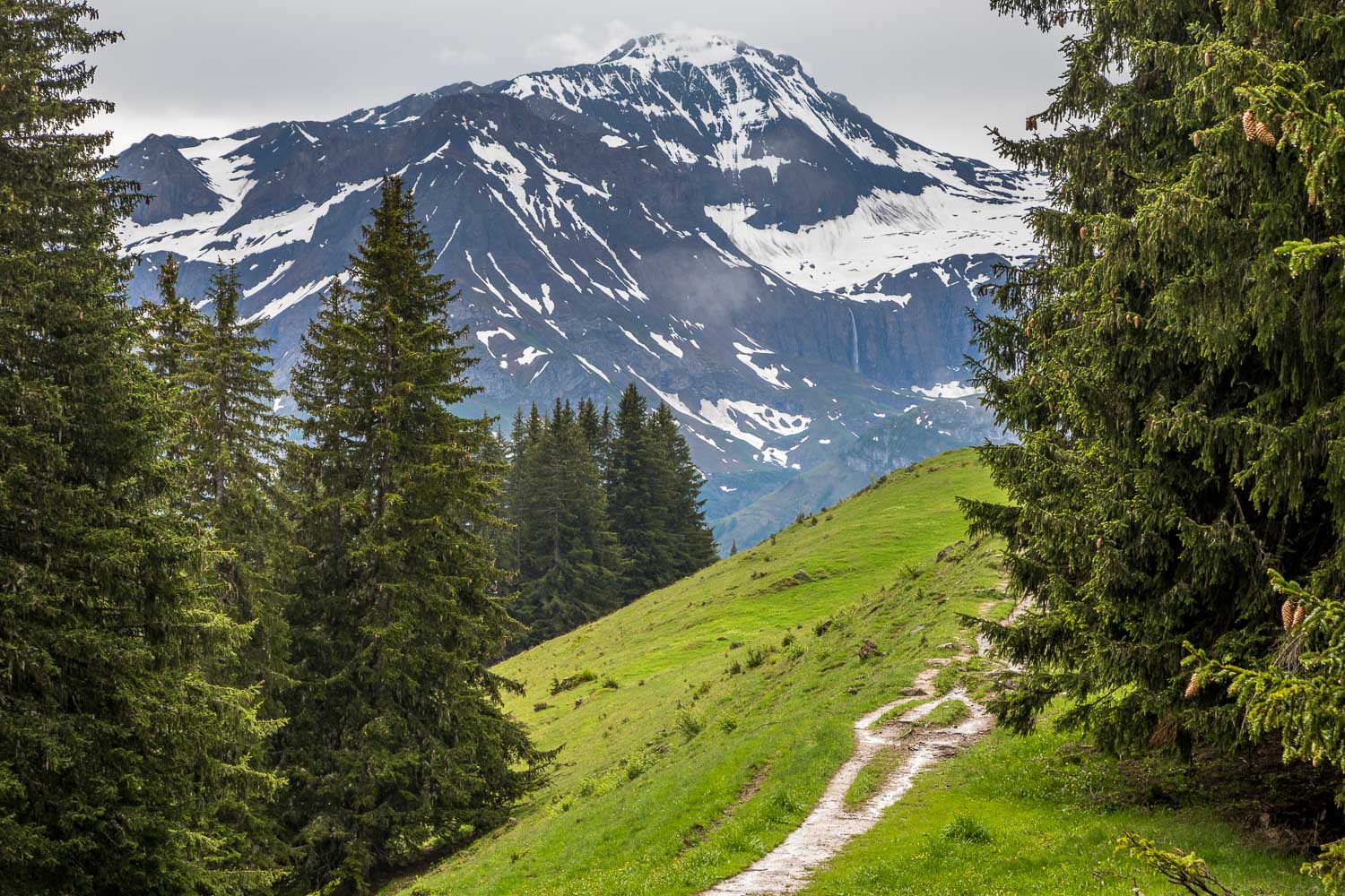
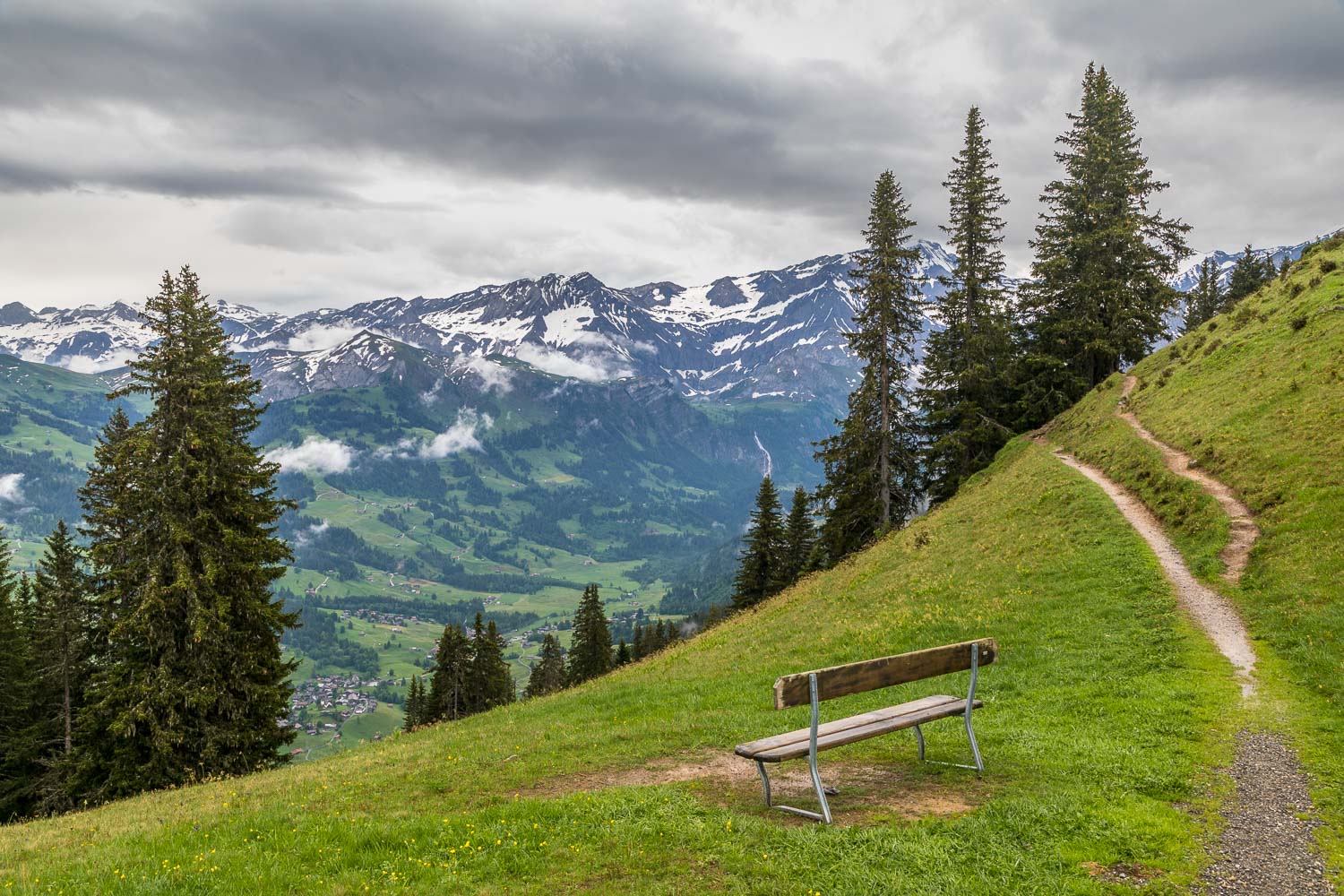
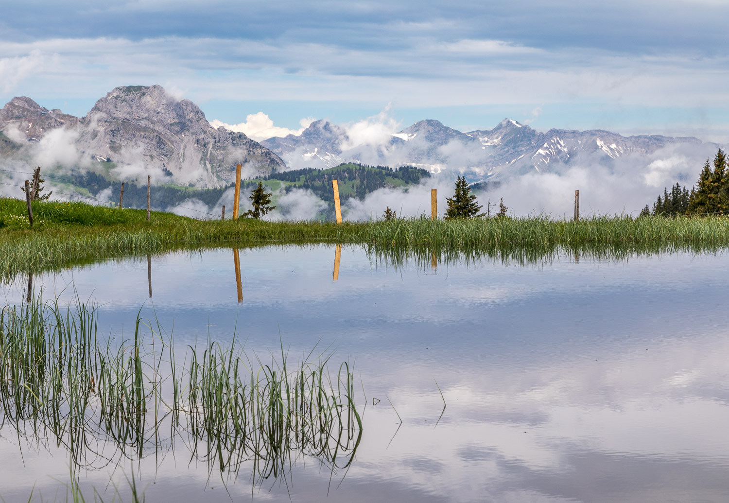
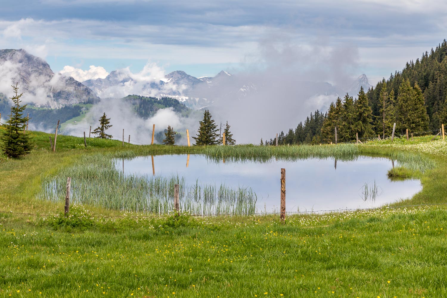
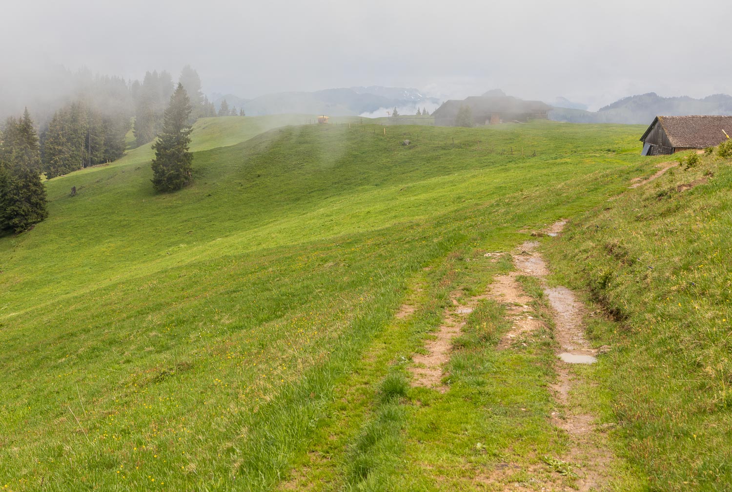
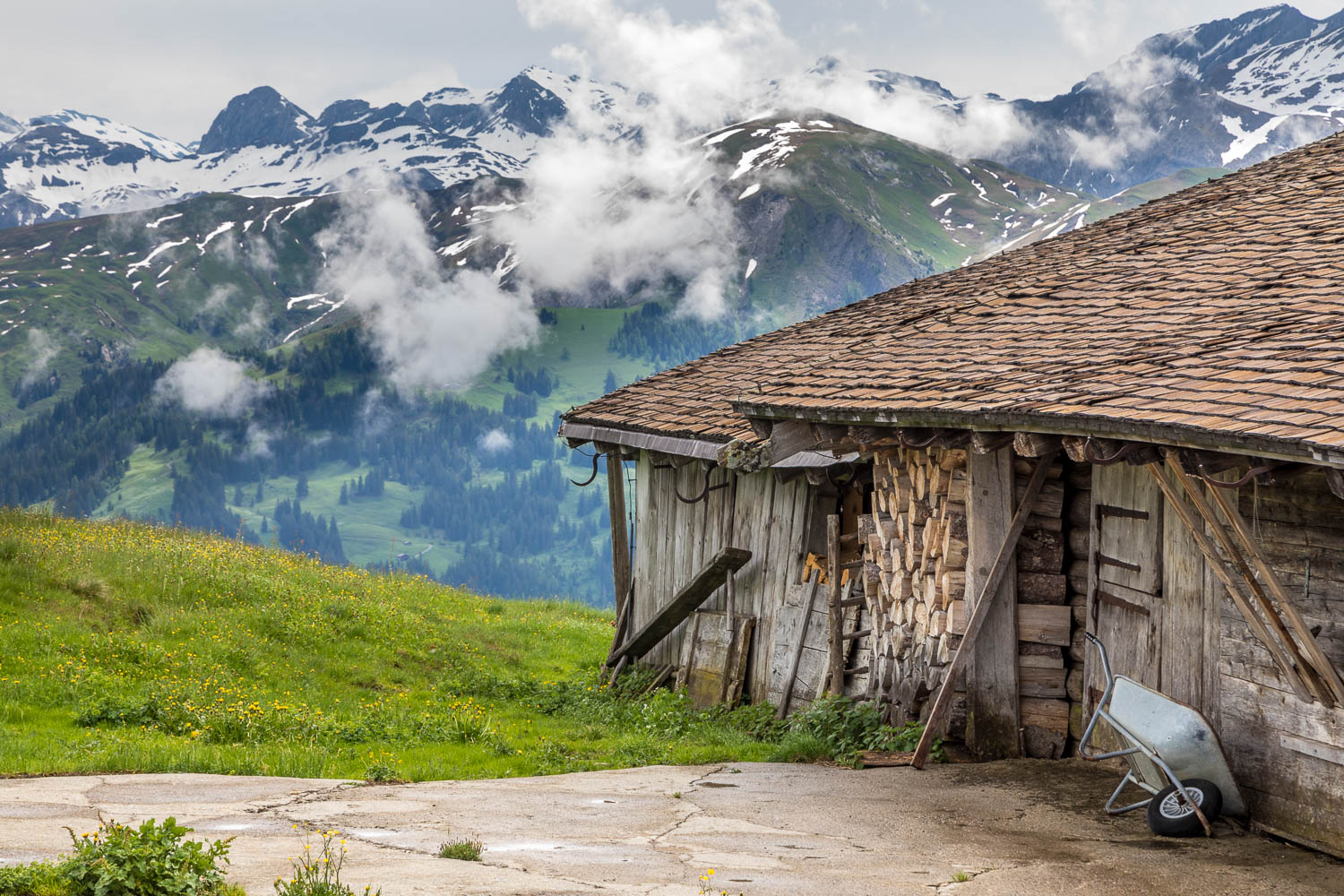
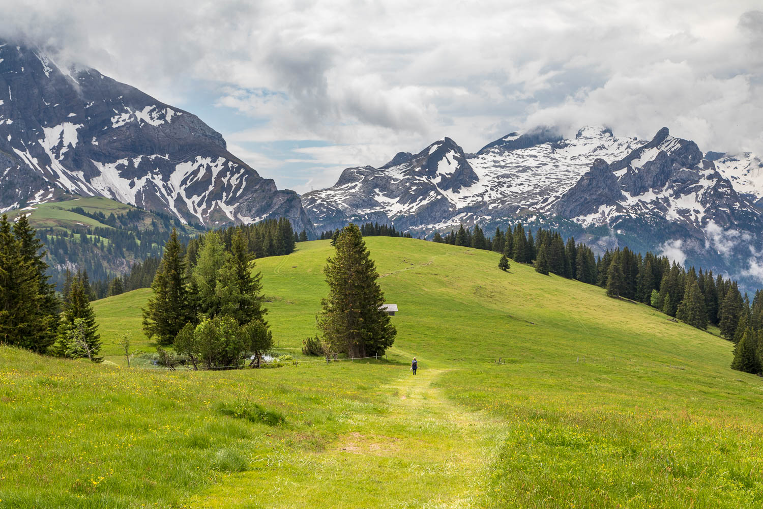
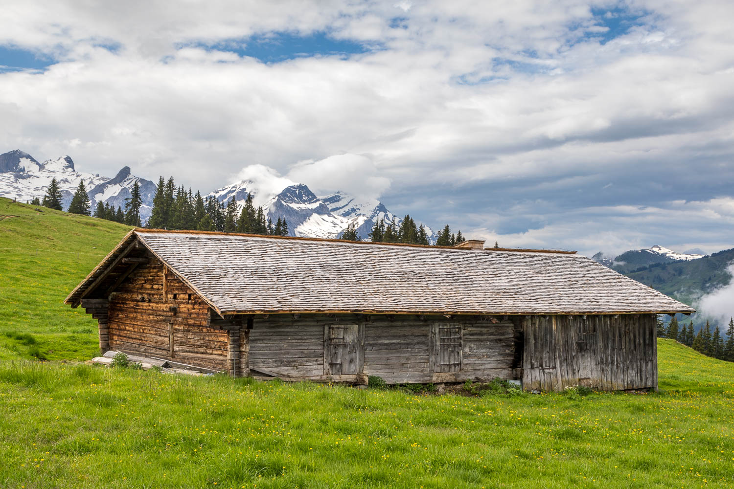
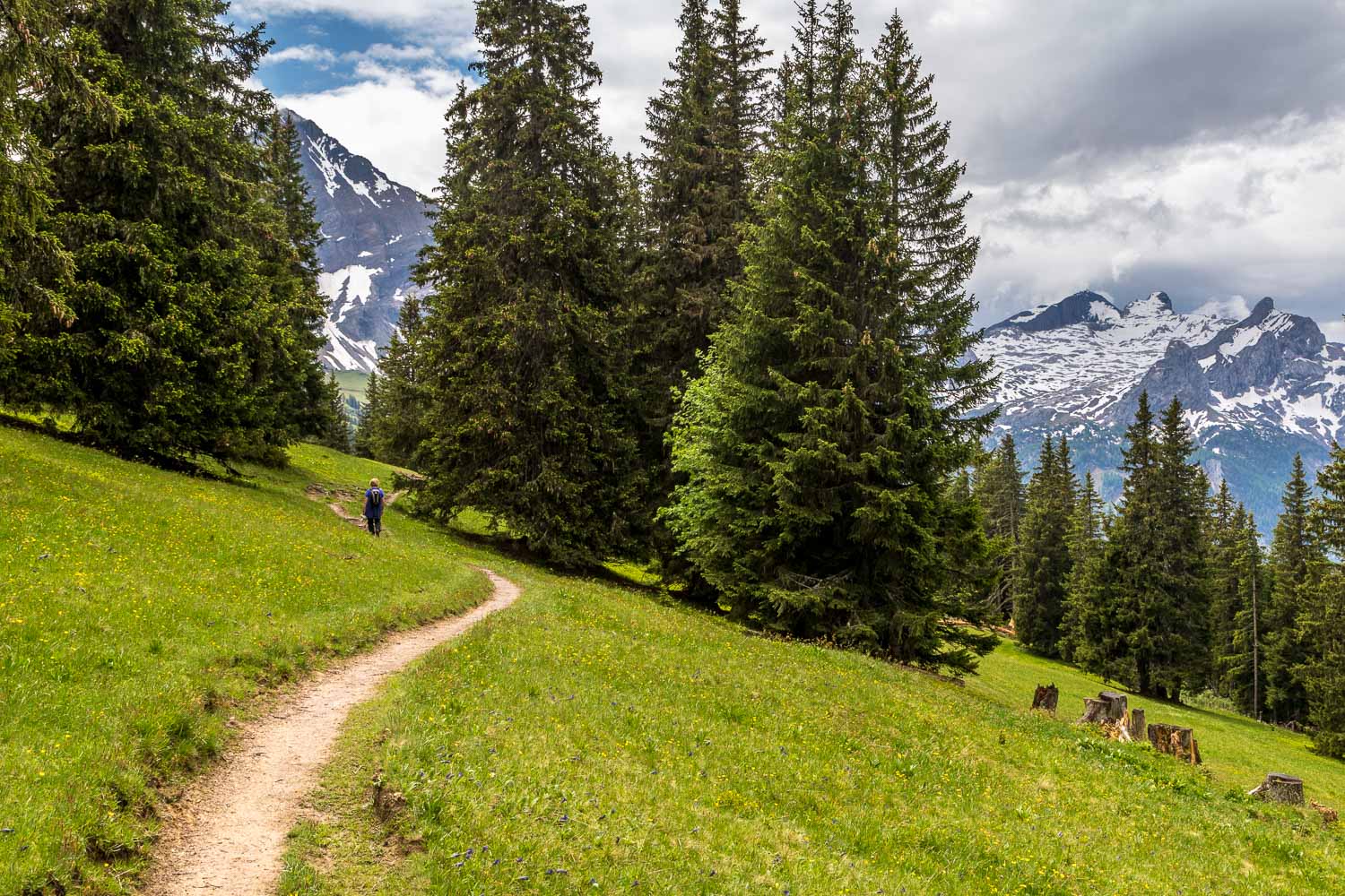
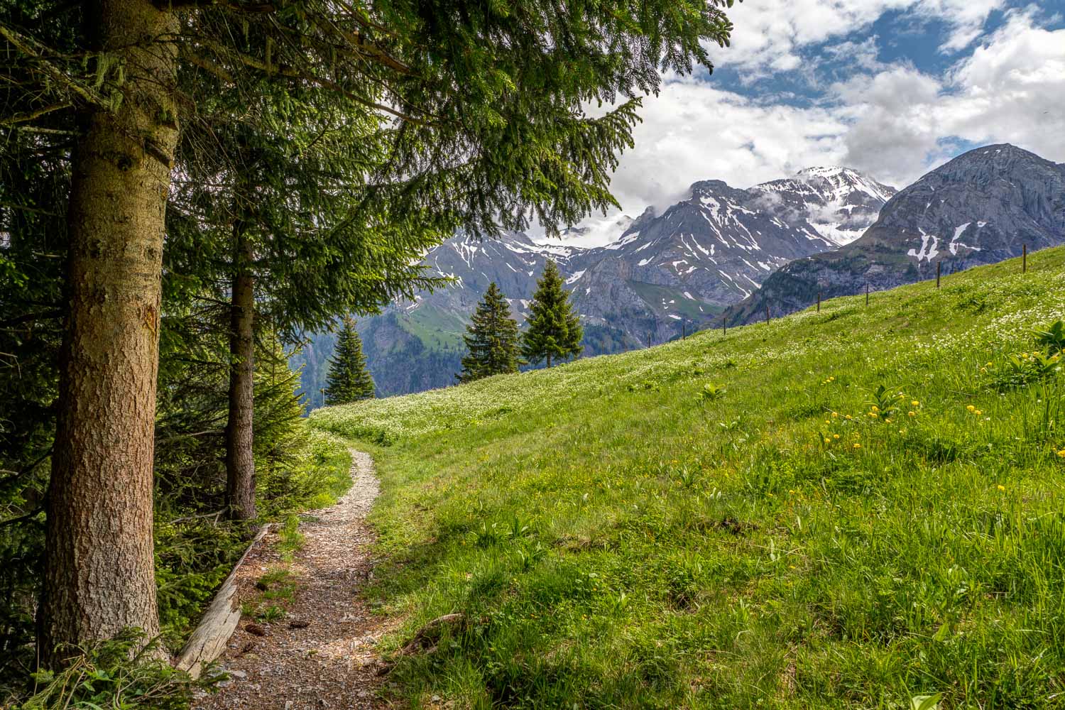
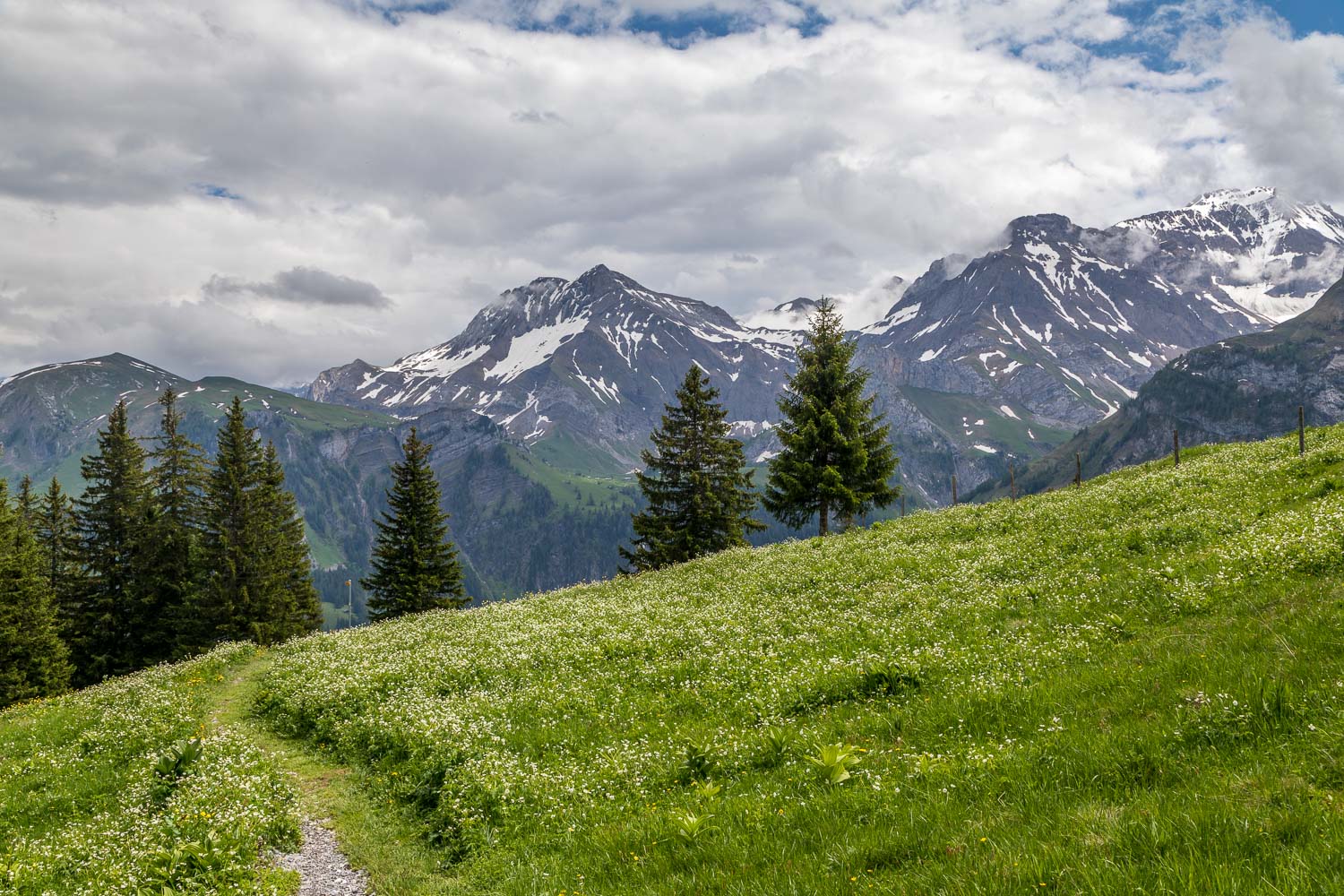
As we continue along the ridge, the light seems to improve - we'd expected to be walking in the rain, so every dry moment is a bonus...
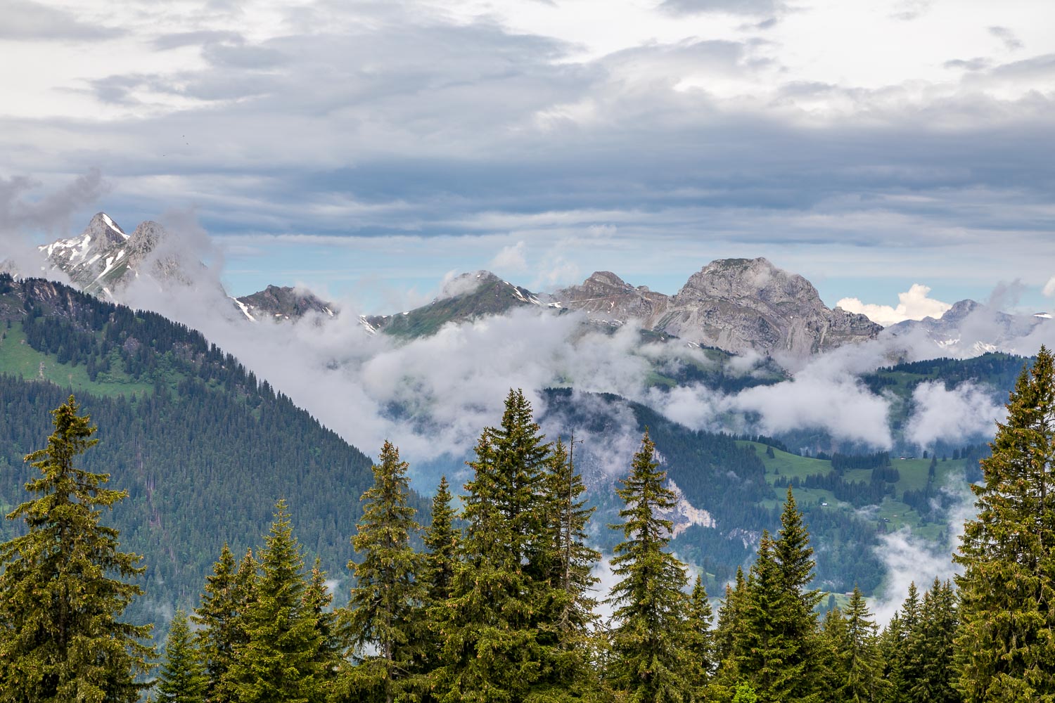
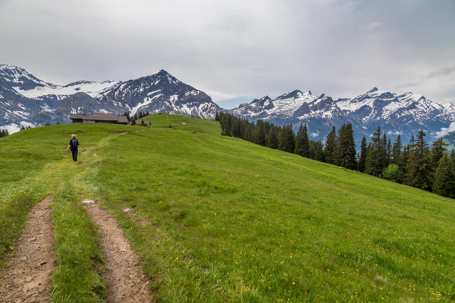
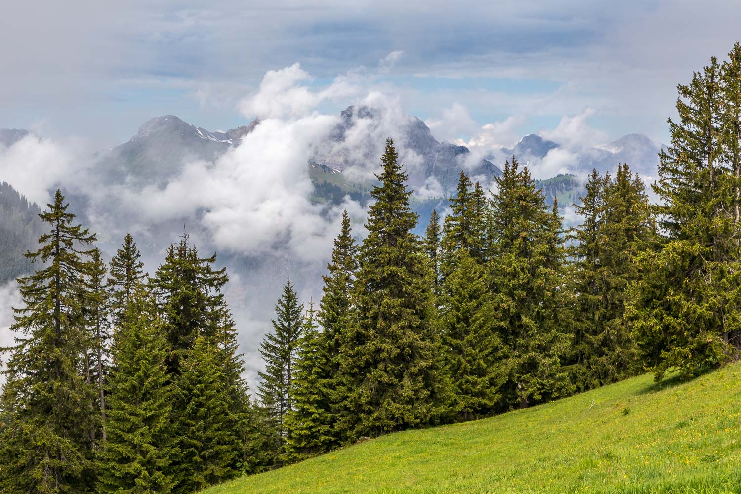
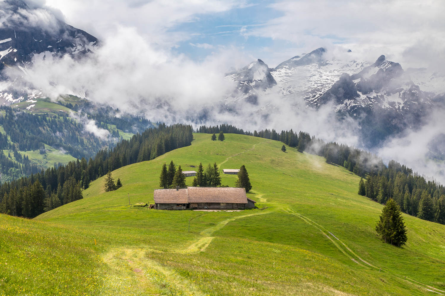
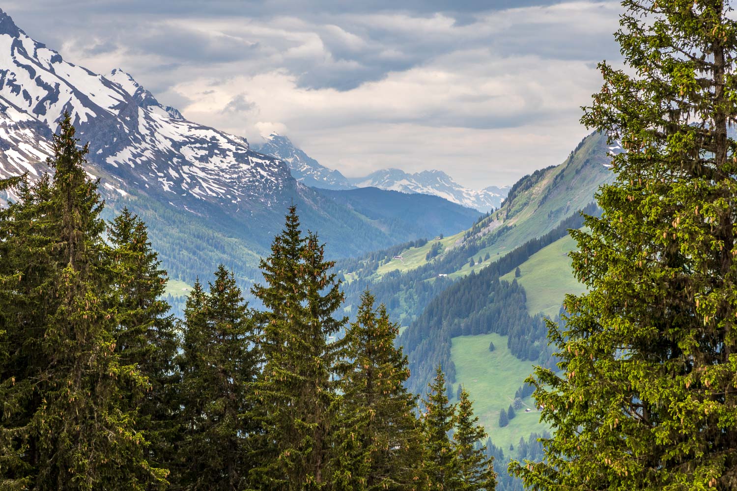
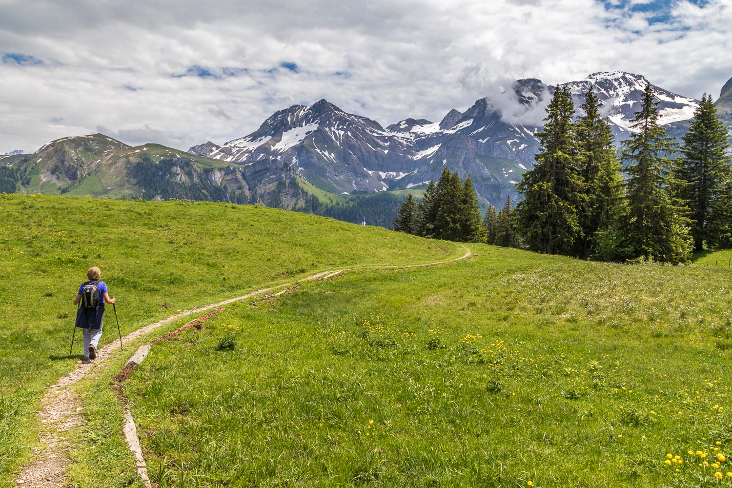
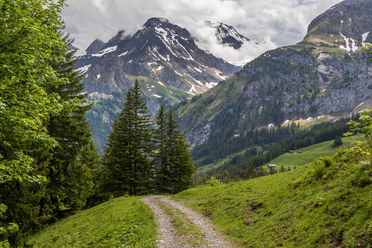
The clouds quickly lift out of the valley and reveal the surrounding peaks, including Gummfluh, Rocher Plat and Le Rubli (7,500 feet)
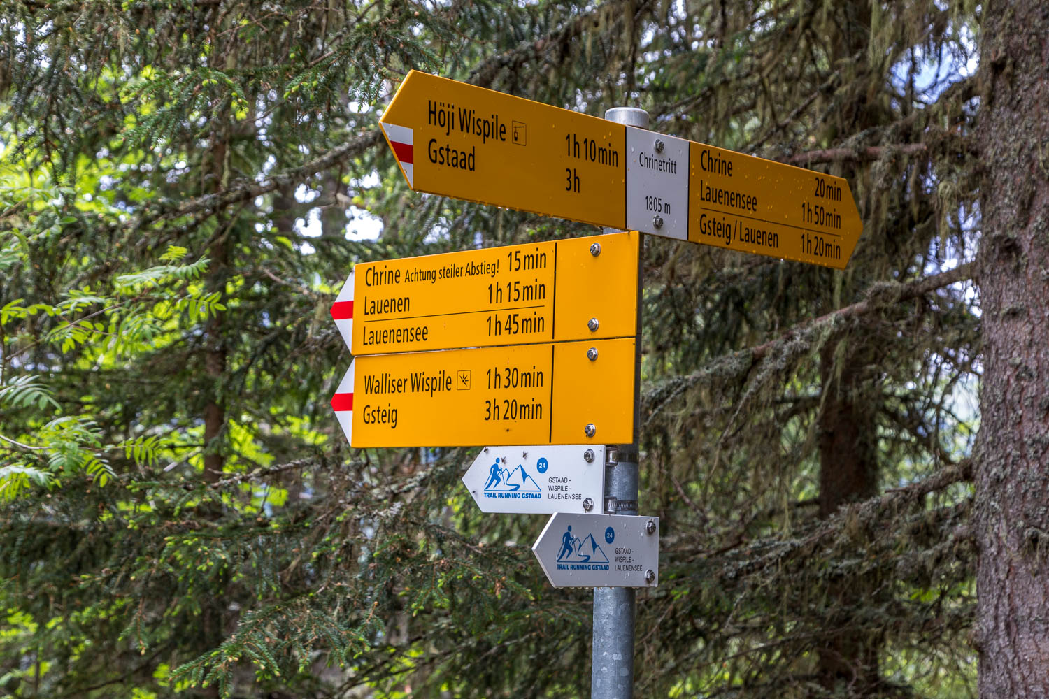
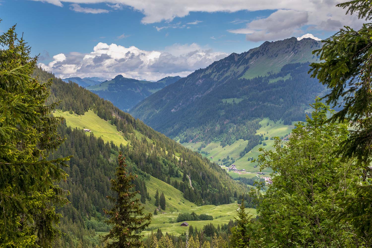
We're about 15 minutes away from the Chrine Pass, an important junction where we have to decide whether to return to Lauenen or lengthen the walk and visit Lauenensee. In view of the ever improving conditions it didn't take long to decide on the latter
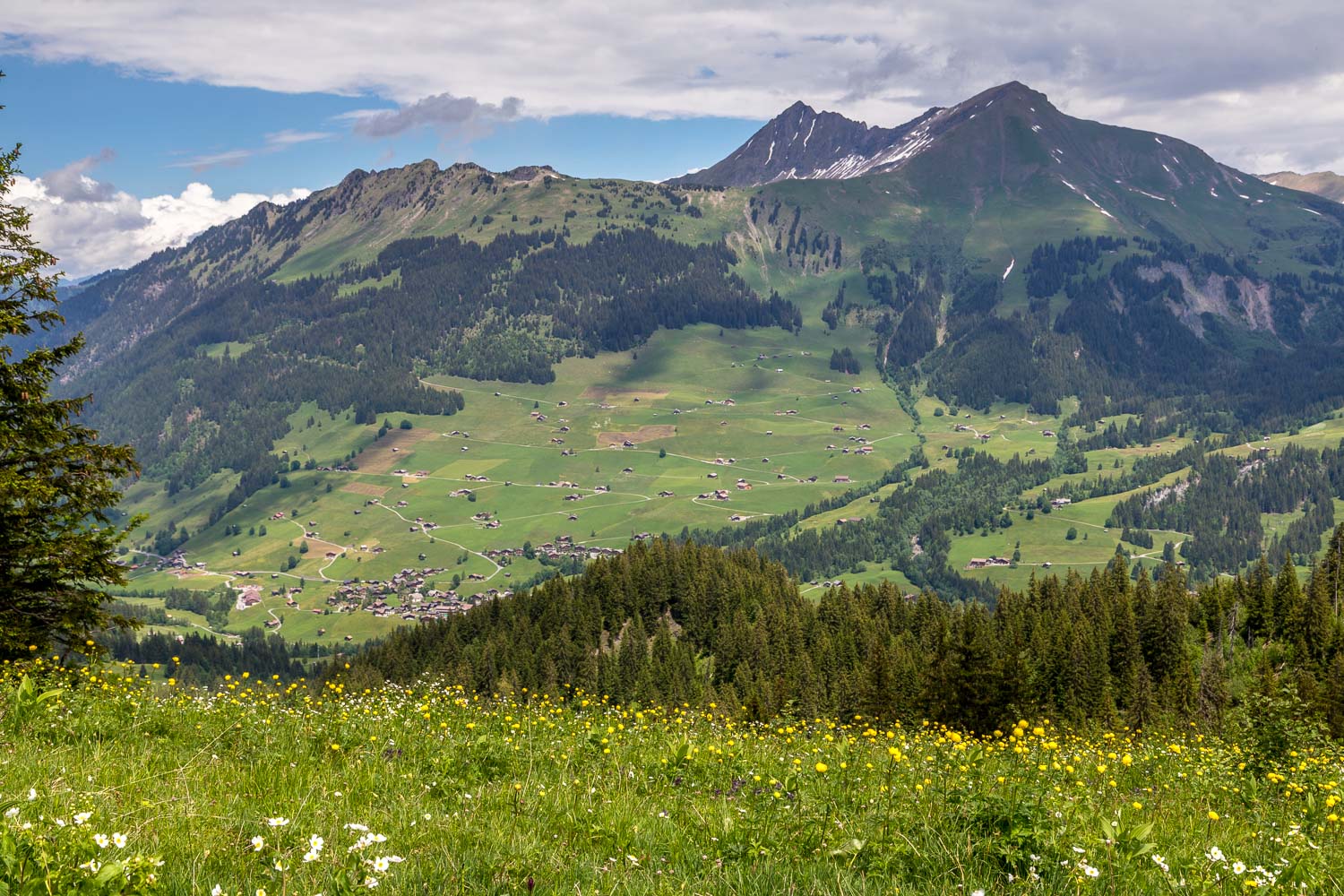
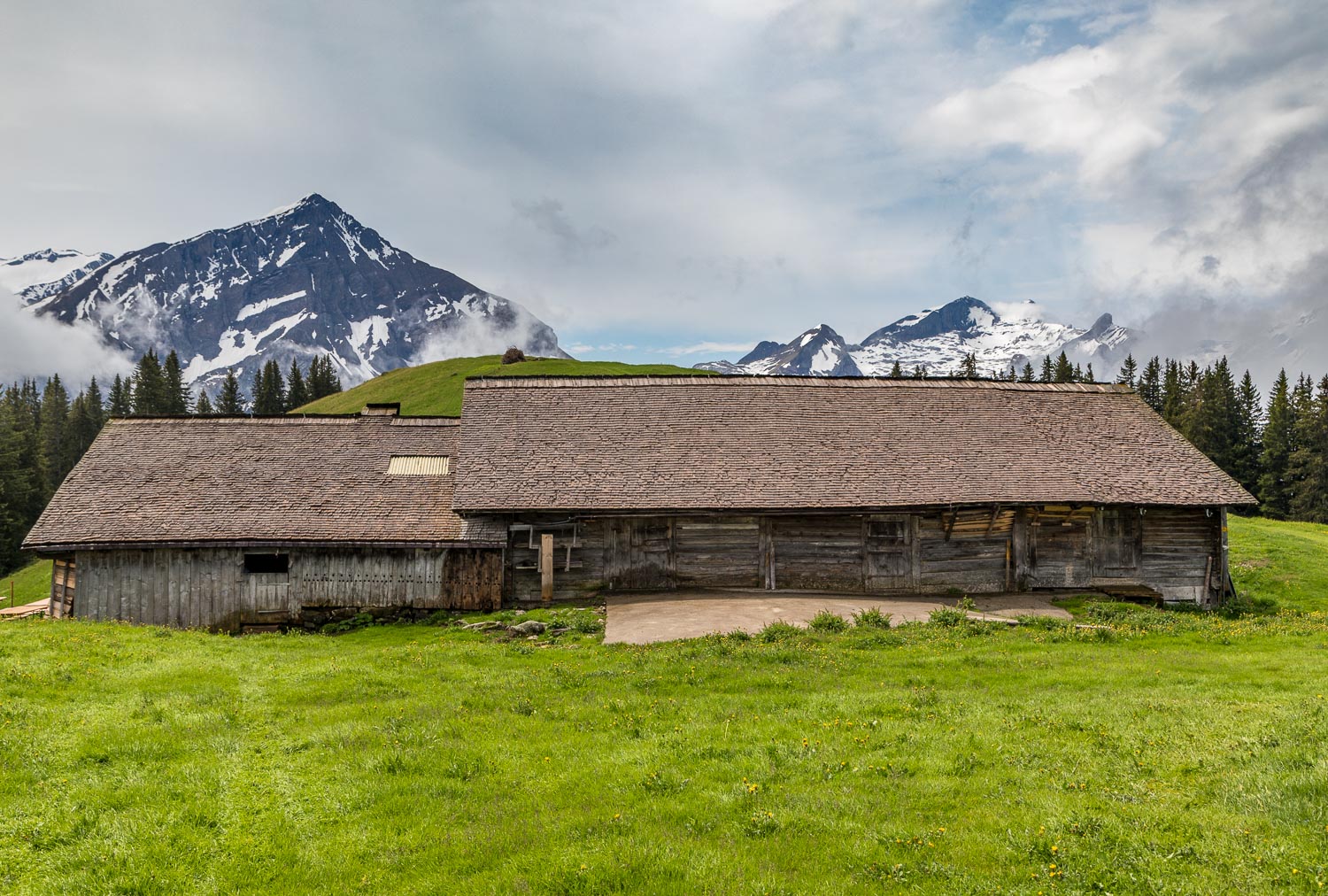
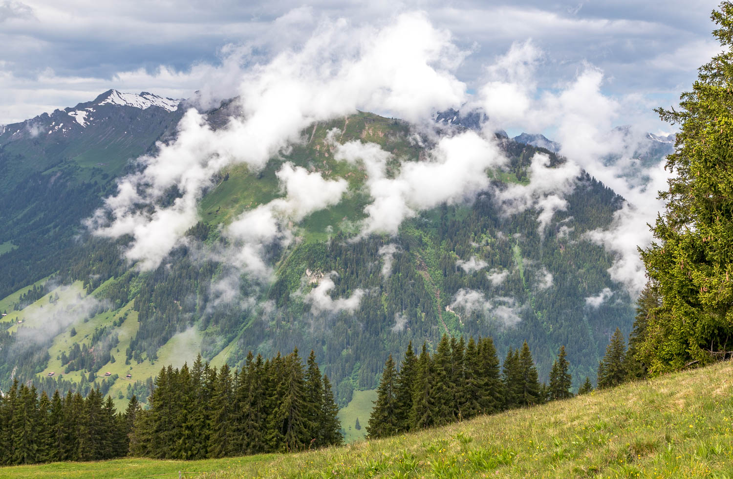
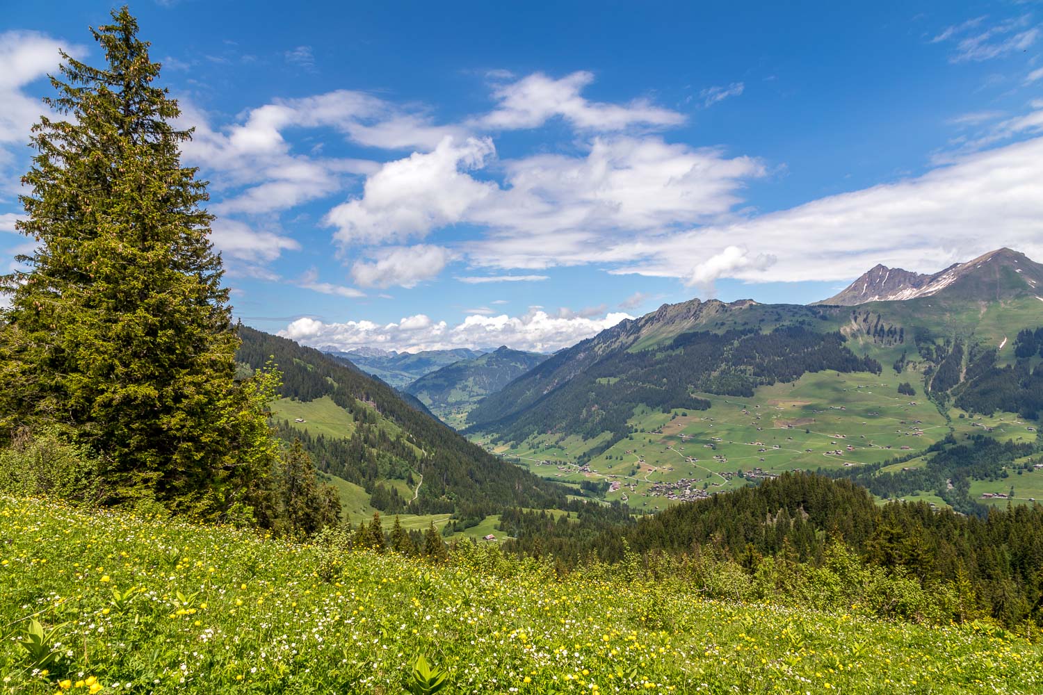
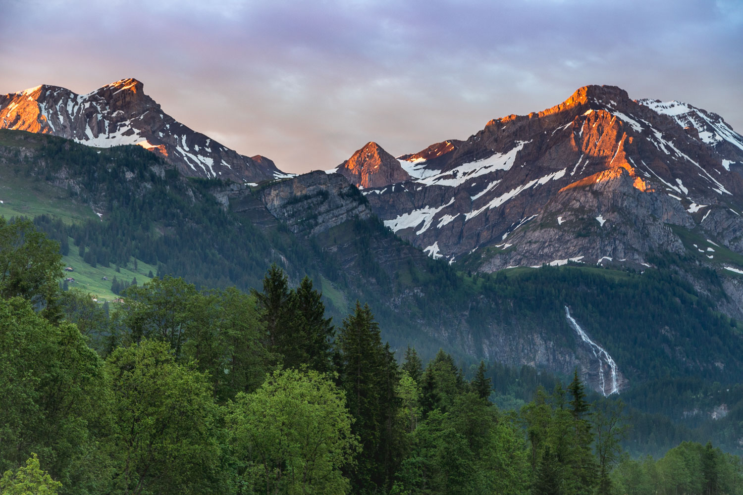
Lauenenhore and Giferspitz on the far side of the valley - we'd passed by these two peaks yesterday on the walk to Lauenen
