Route: Latrigg
Area: Northern Lake District
Date of walk: 30th January 2019
Walkers: Andrew and Gilly
Distance: 6.2 miles
Ascent: 1,100 feet
Weather: Mostly sunny, fresh snow on the fells
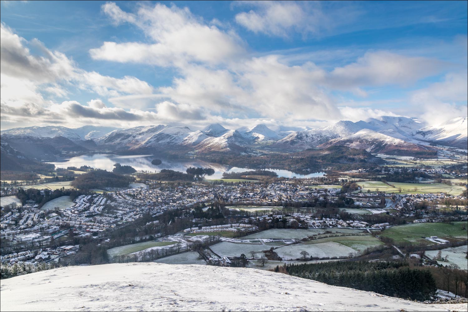
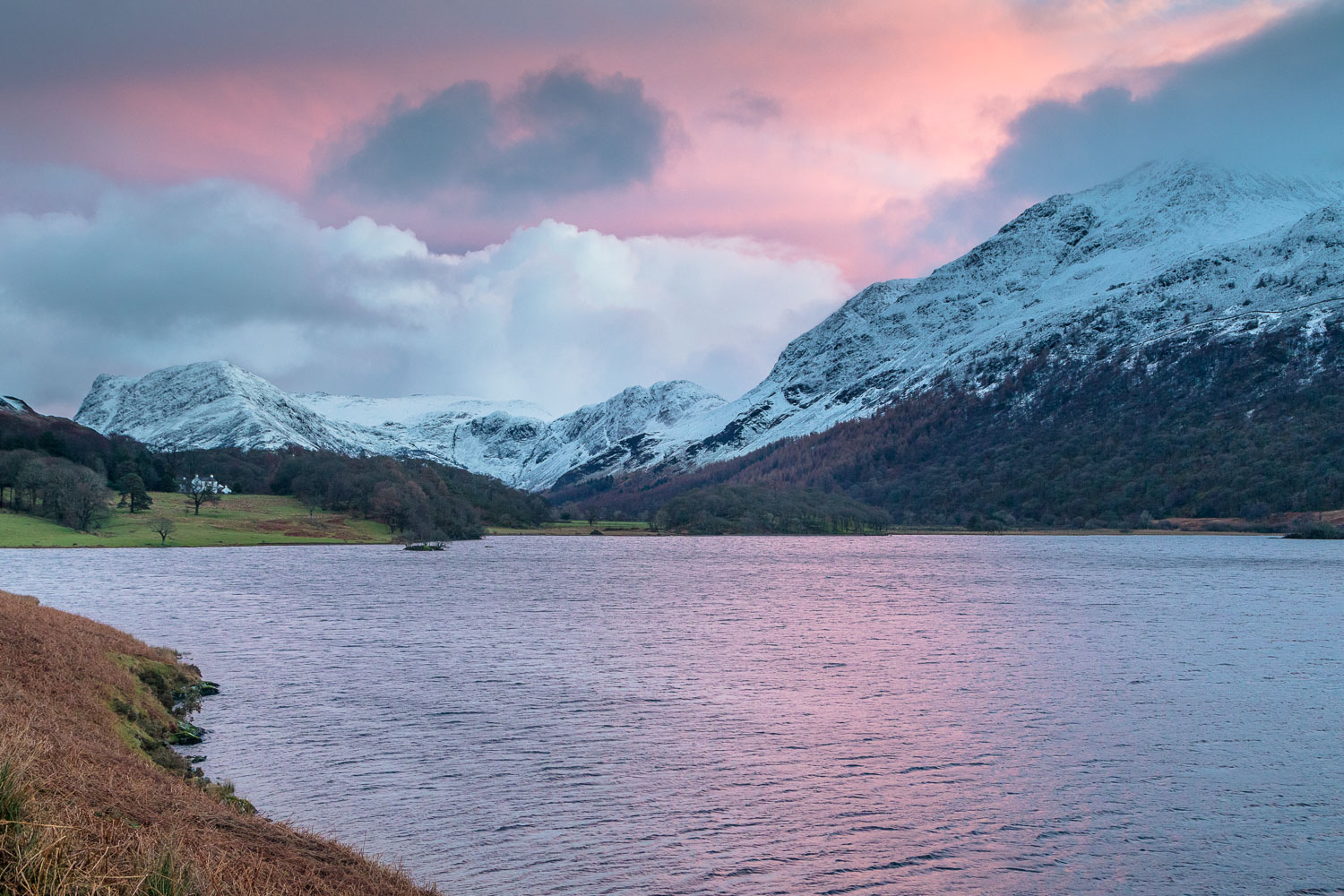
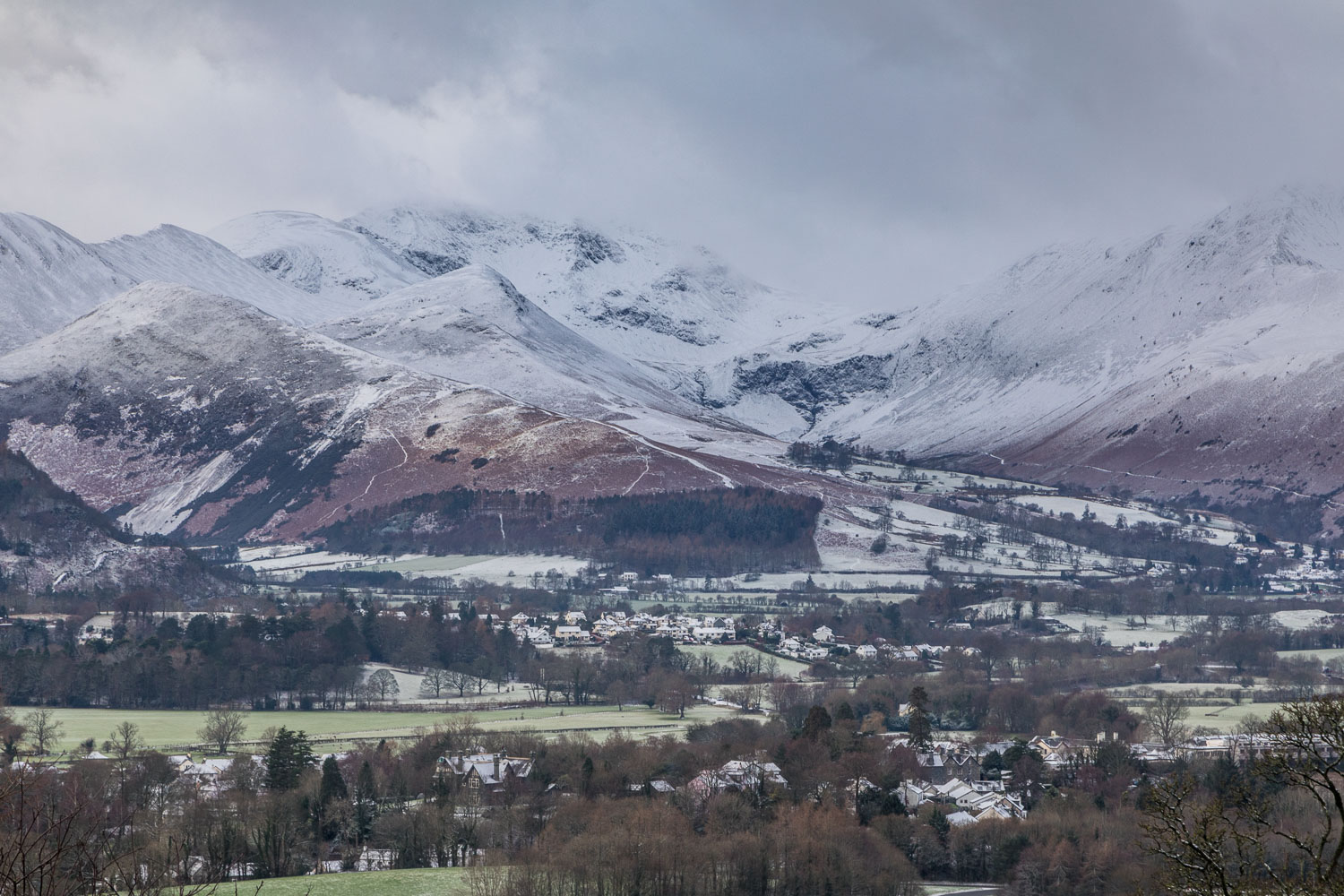
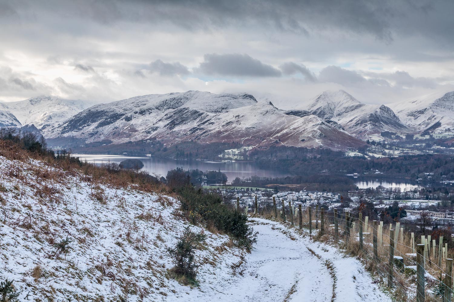
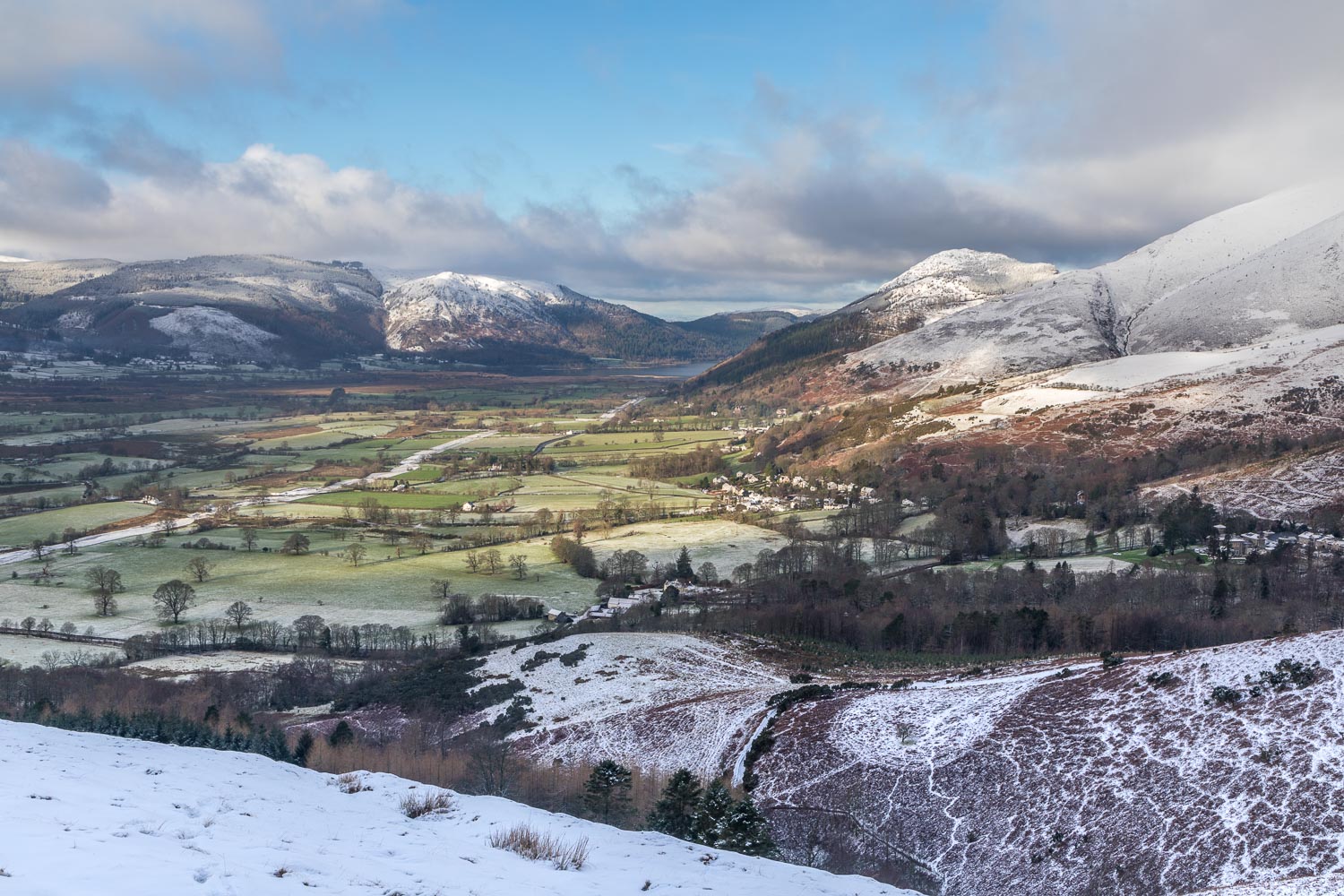
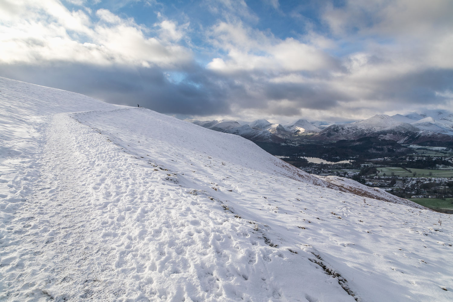
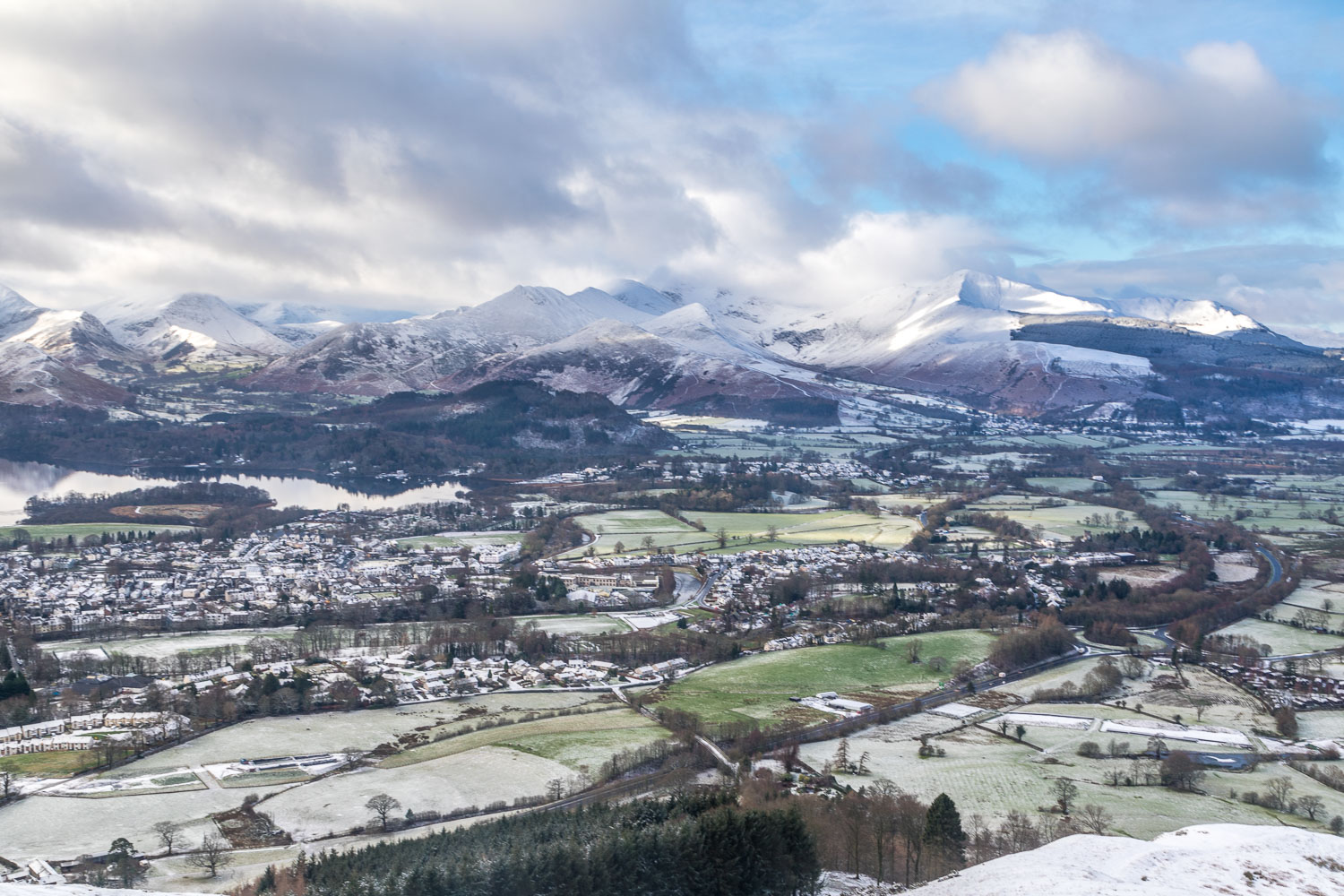
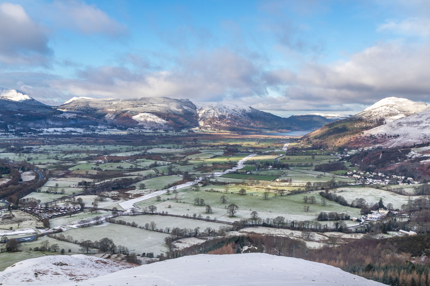
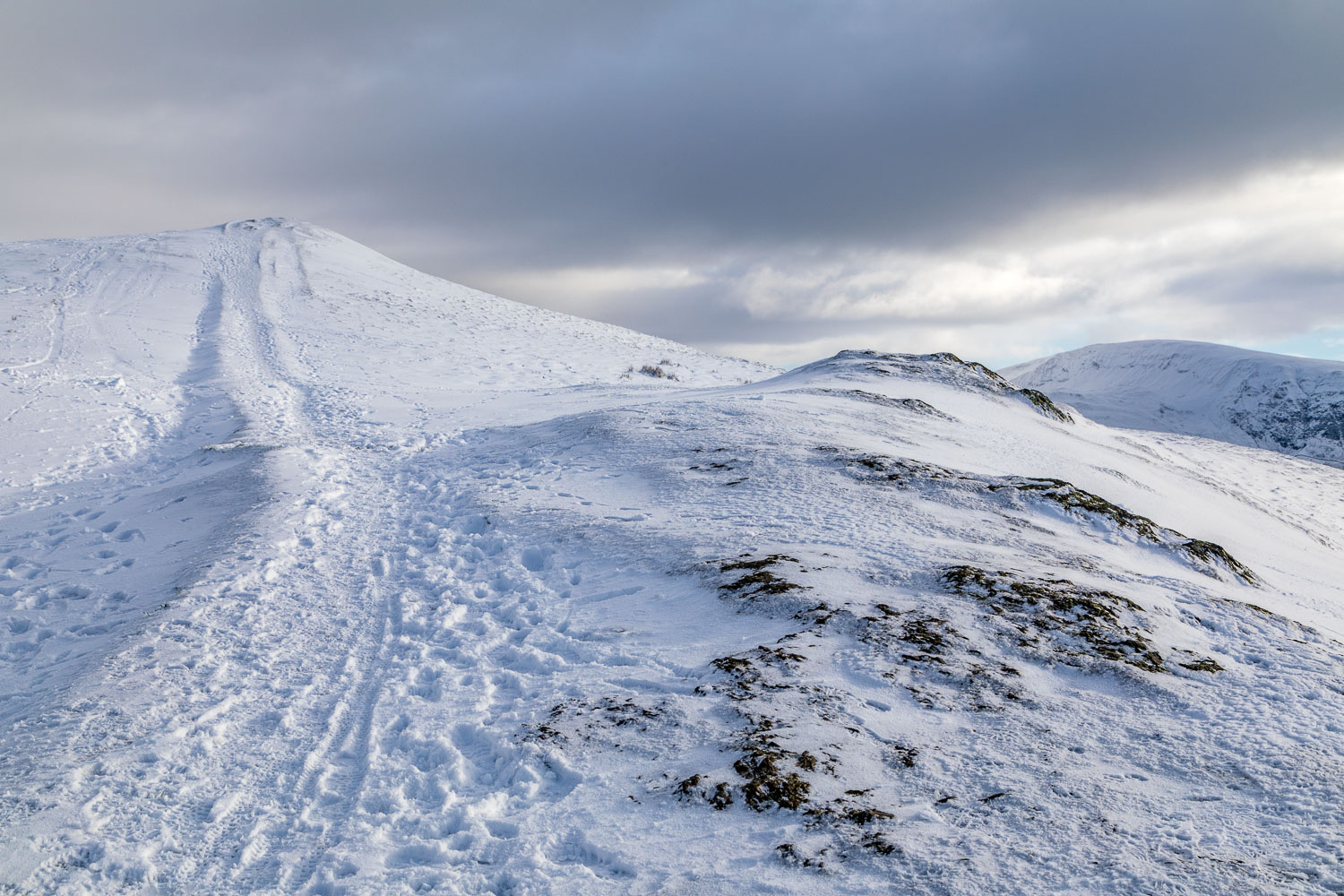
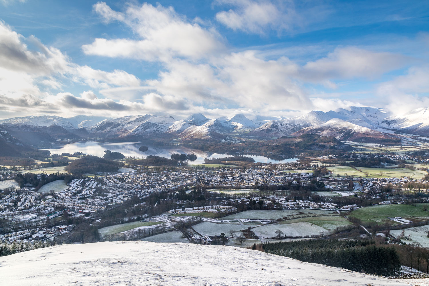
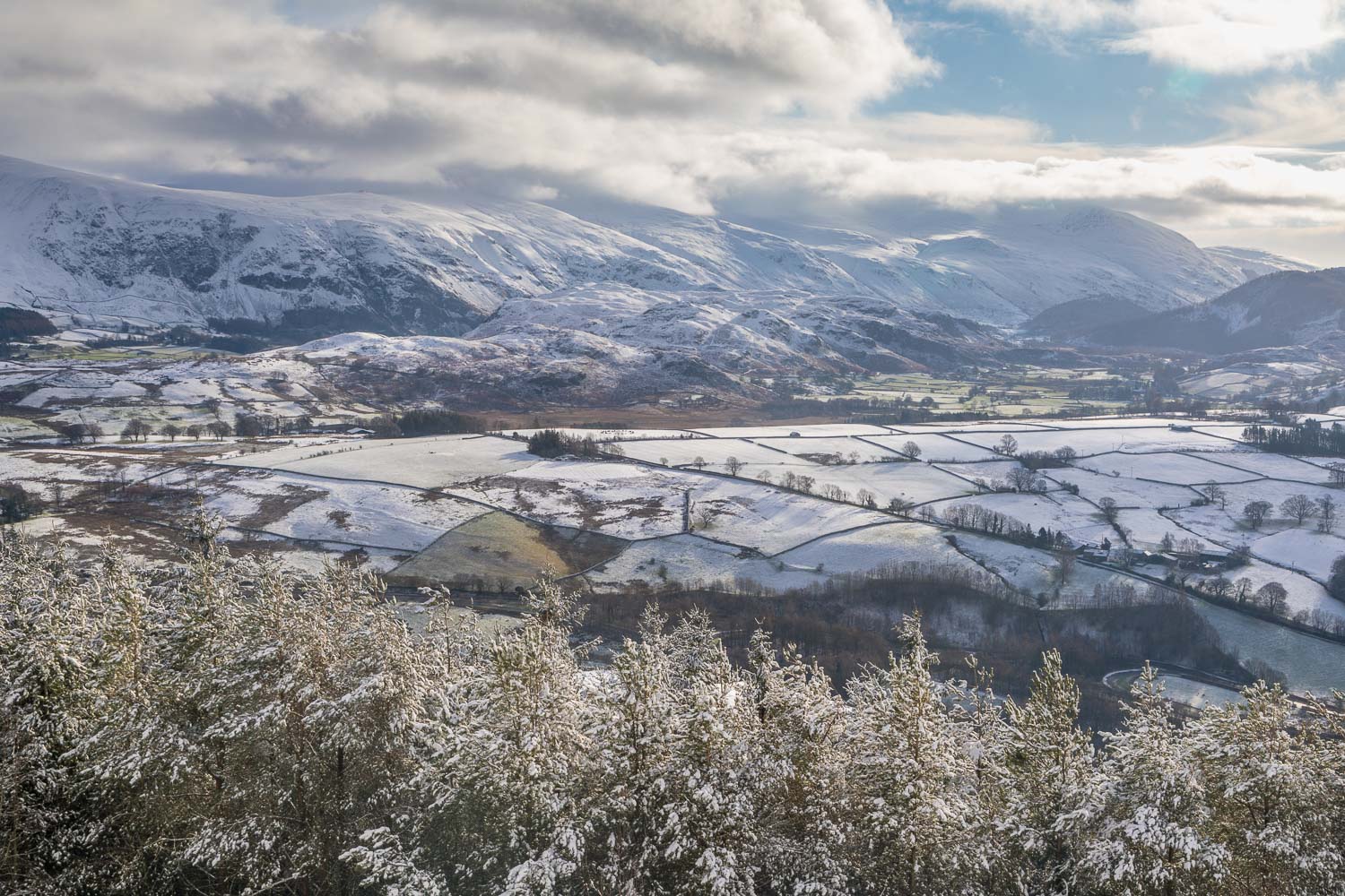
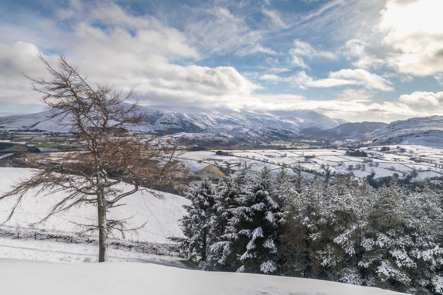
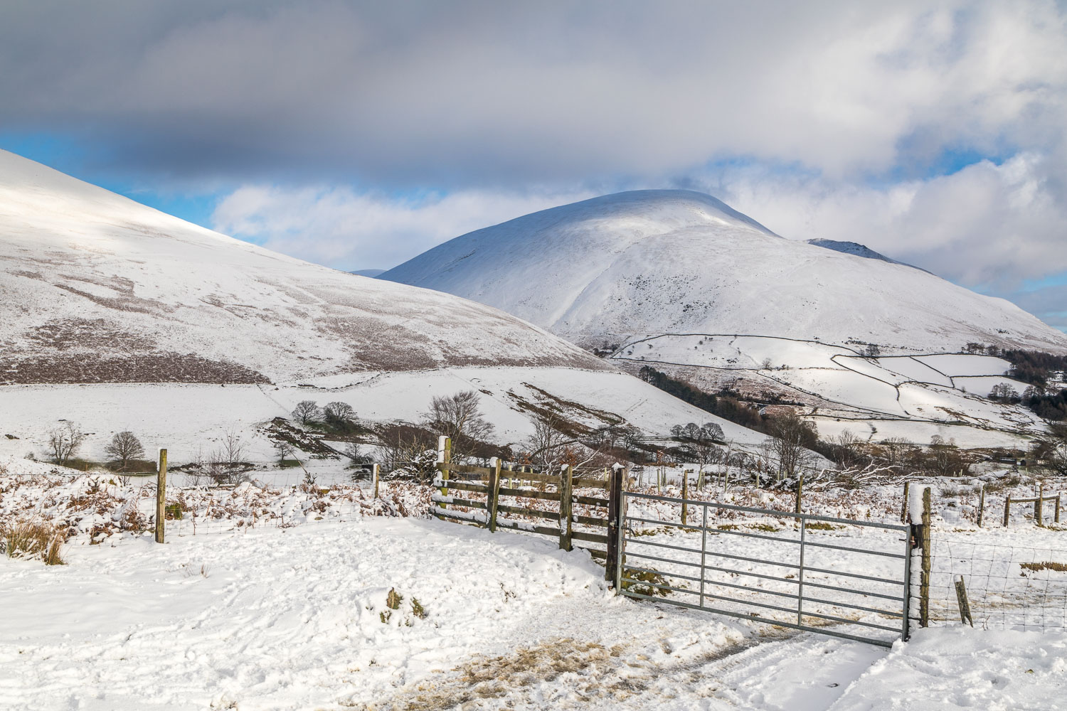
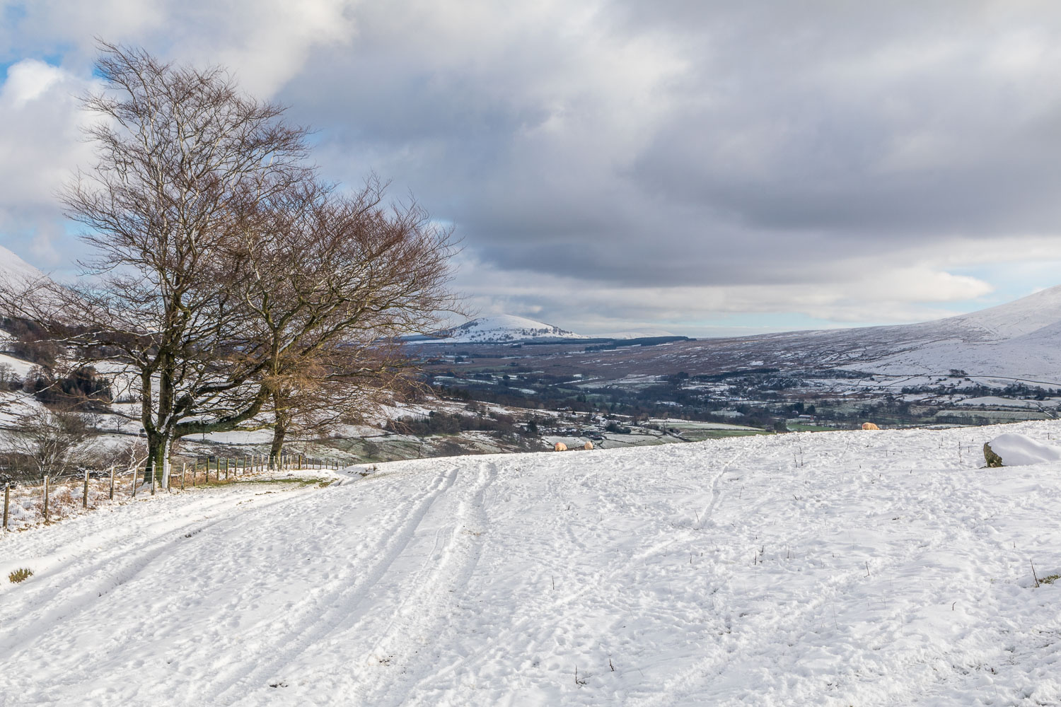
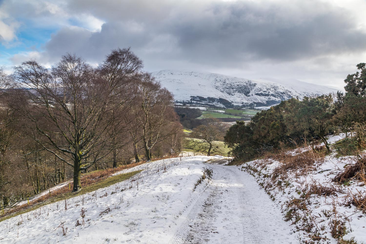
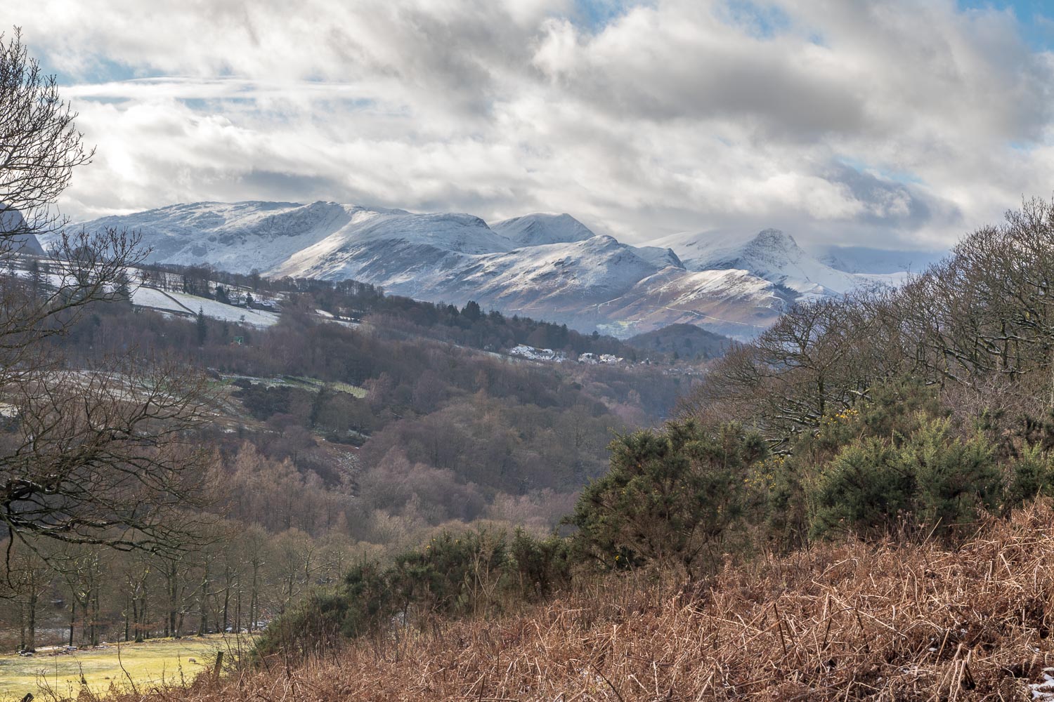
Latrigg is one of the lower lakeland fells, but punches well above its weight in terms of the views from its summit. These are superior (in my opinion) to those from Skiddaw, which towers up behind it and is nearly 2,000 feet higher. With fresh snow on the ground, and with the promise of some sun and good visibility, it would make an ideal choice for today’s walk
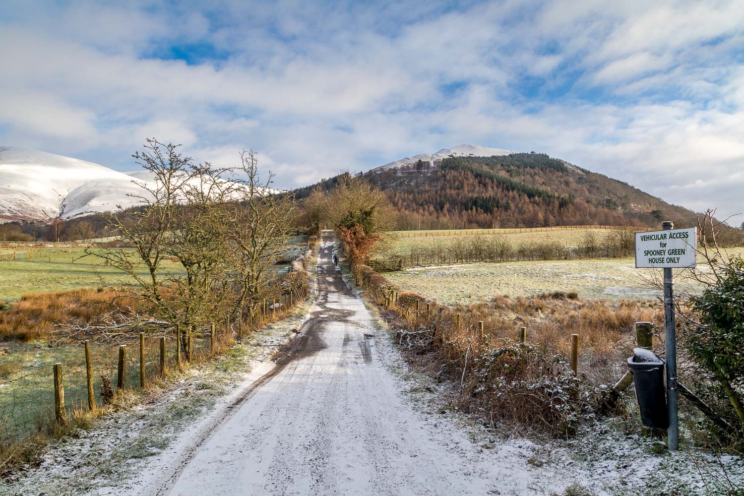
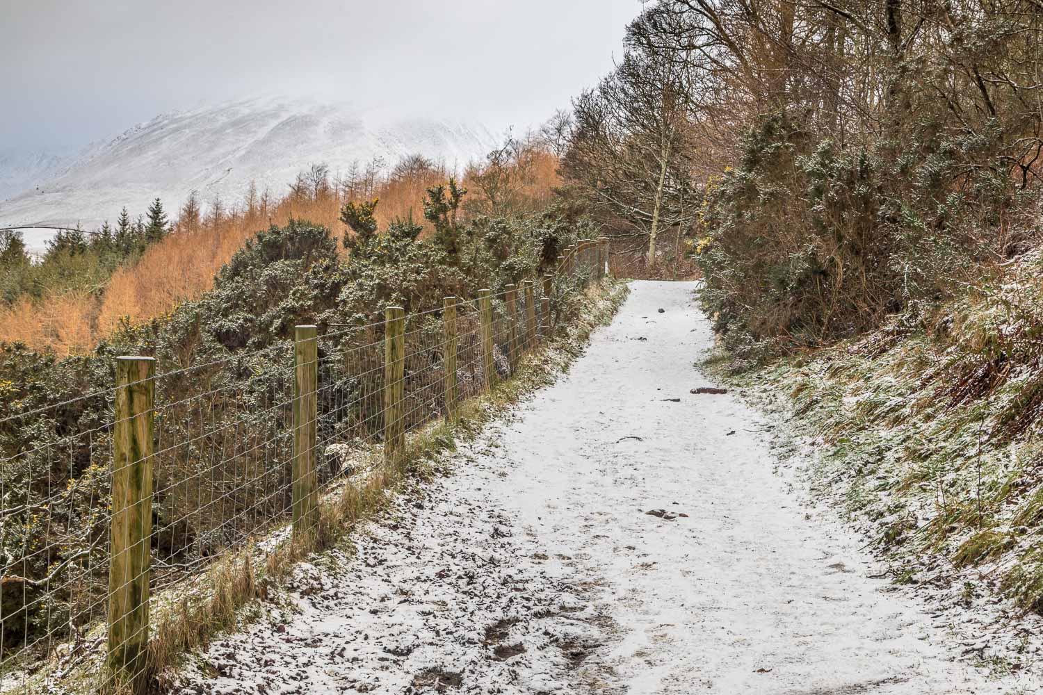
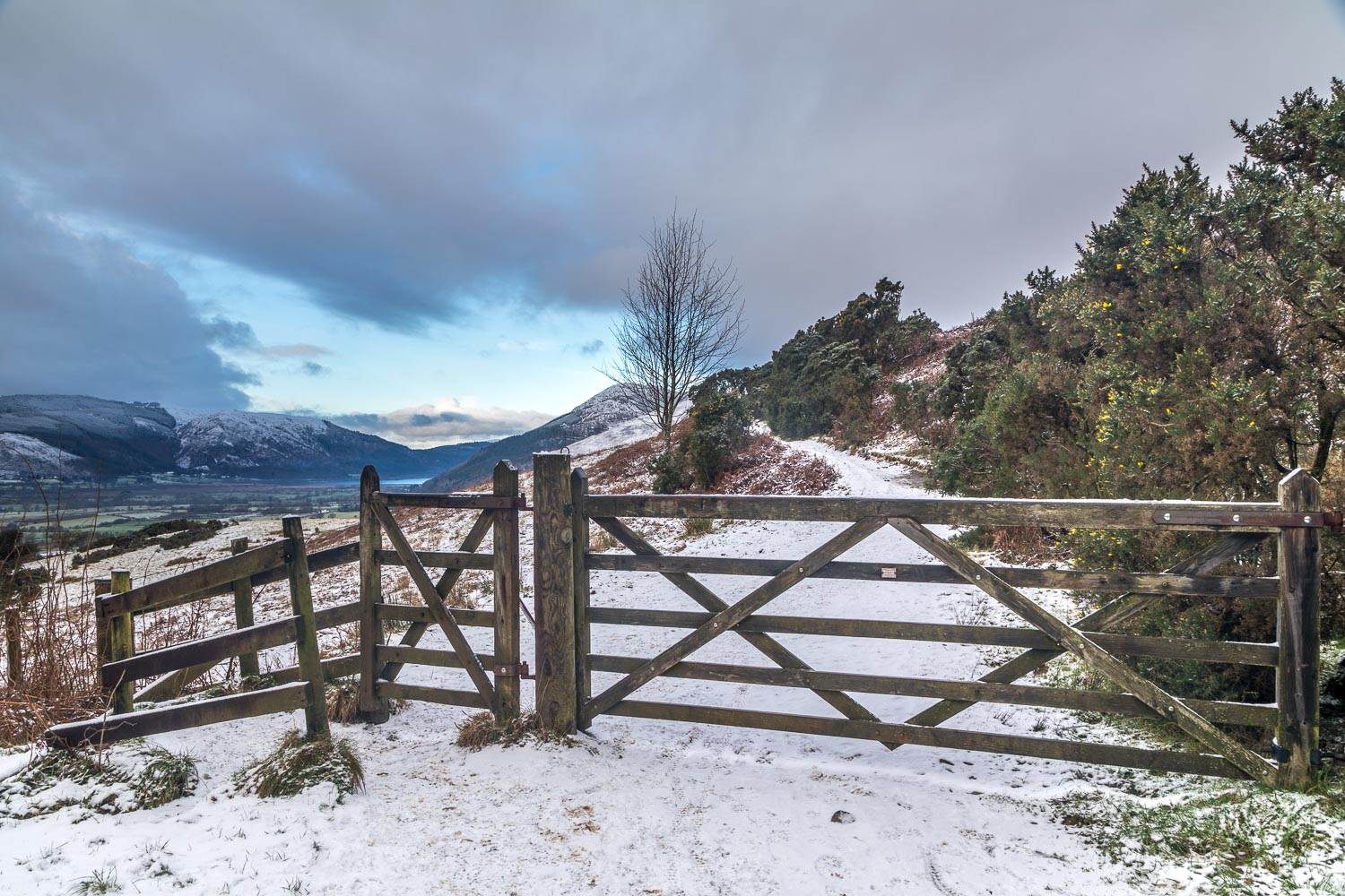
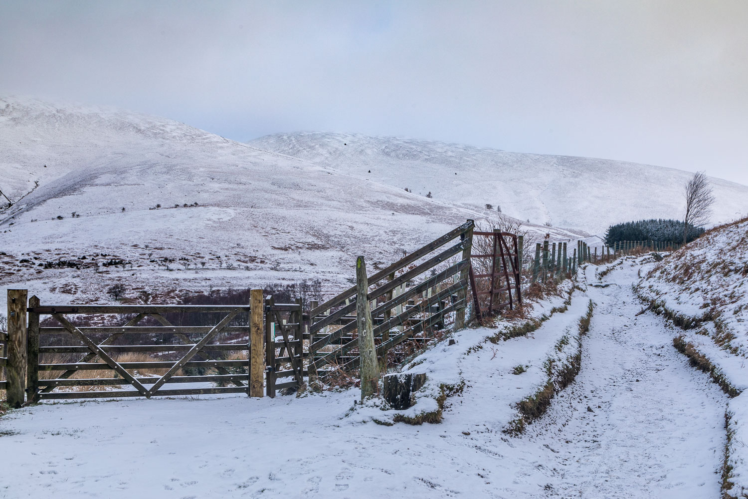
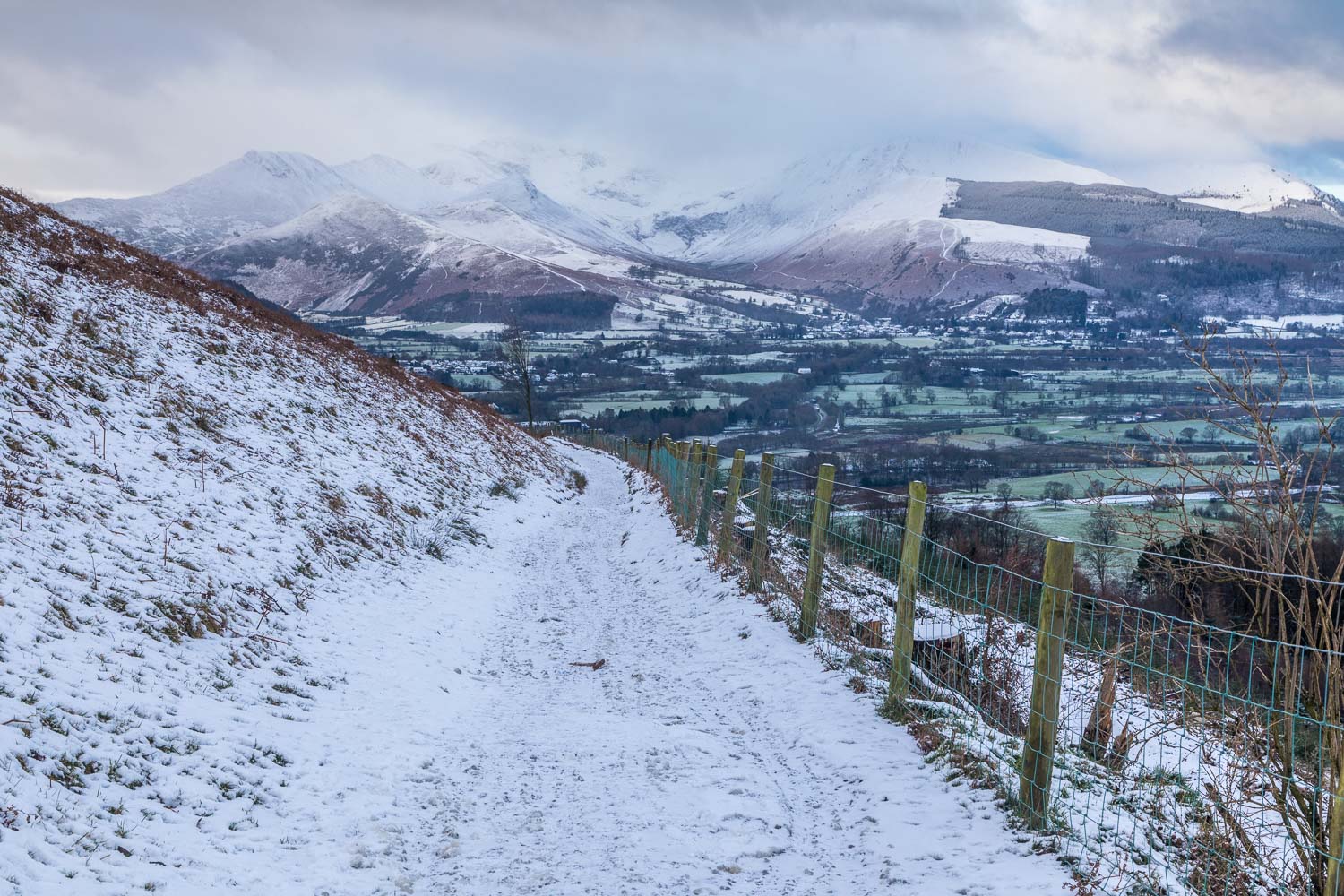
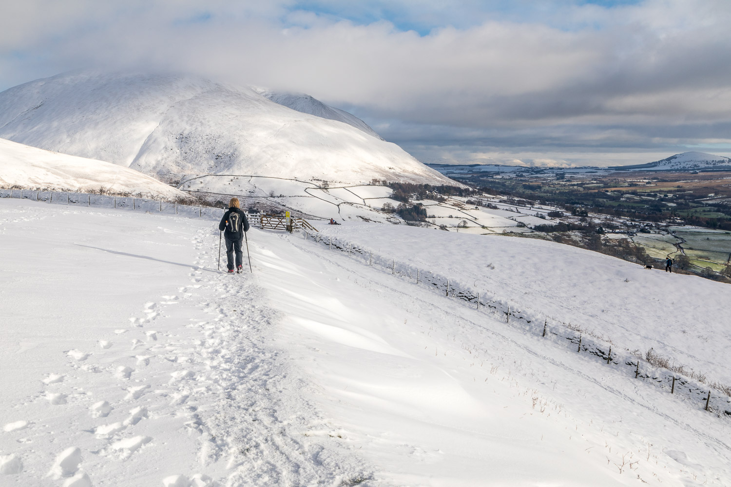
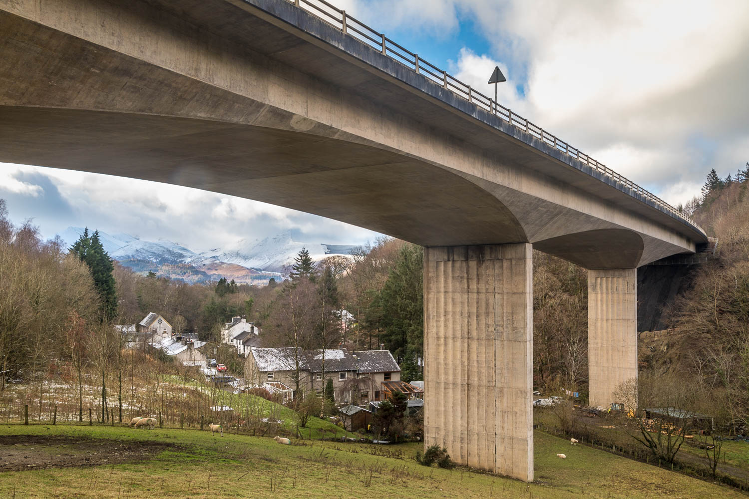
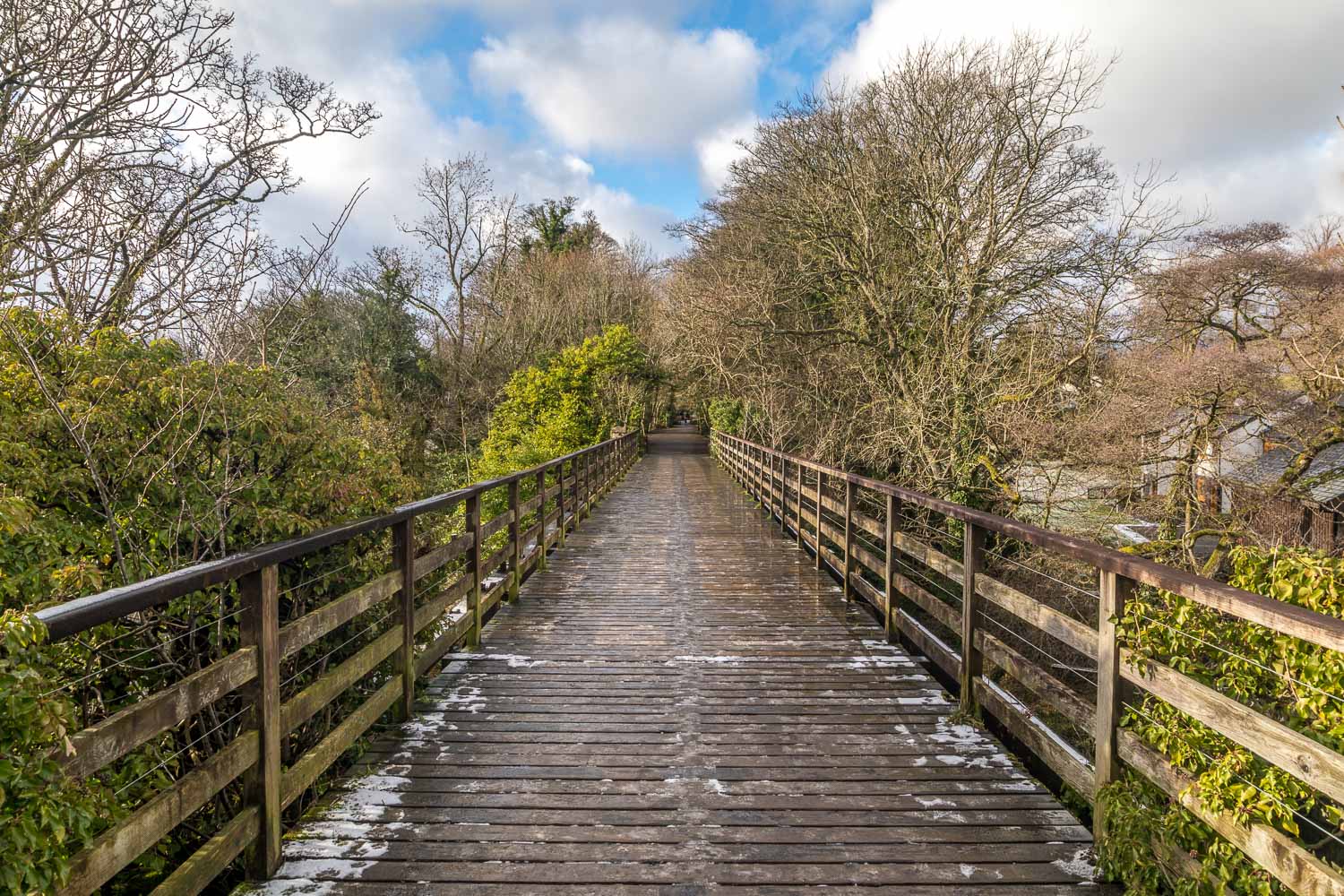
We parked as usual on the roadside at Briar Rigg and walked up Spooney Green Lane, crossing the bridge over the busy A66 along the way. After a while we joined the path leading to the top of Latrigg. The climbing was easy throughout, although we were glad to be wearing microspikes over our boots, as the paths were slippery
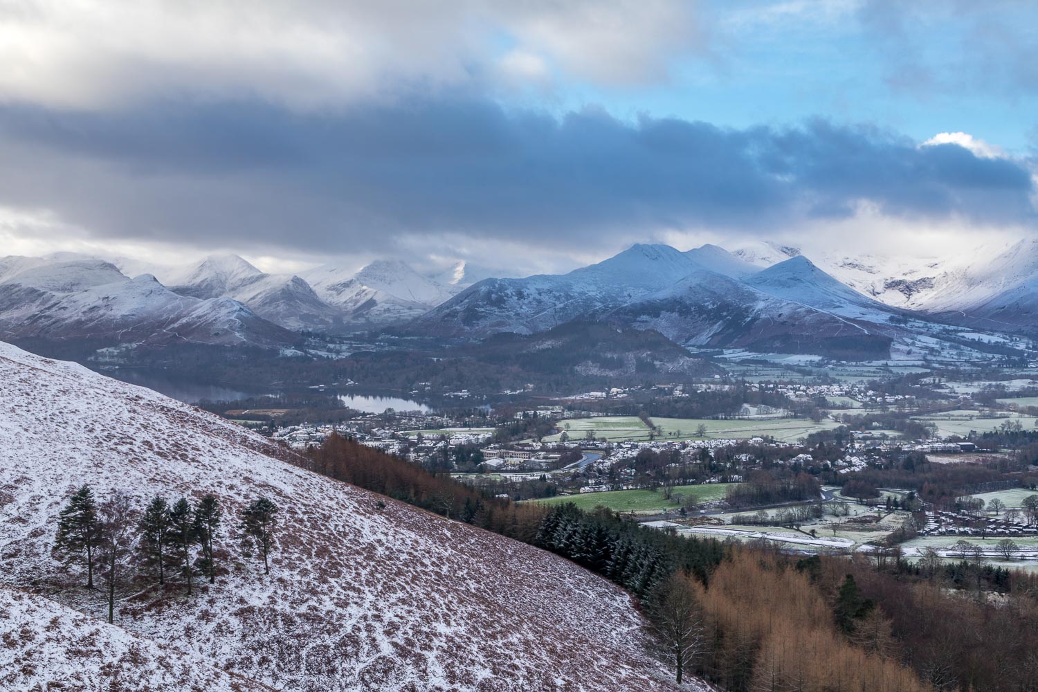
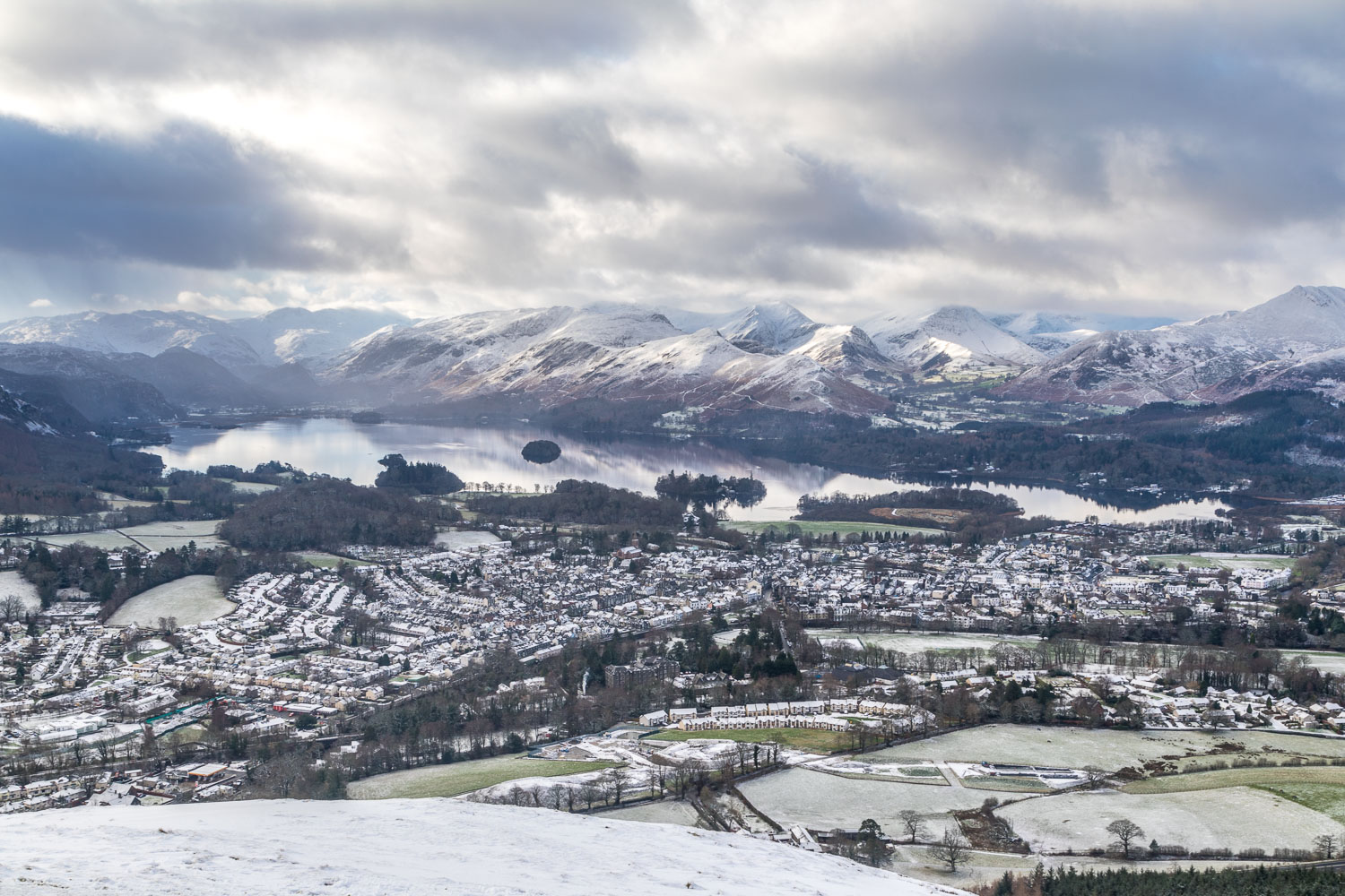
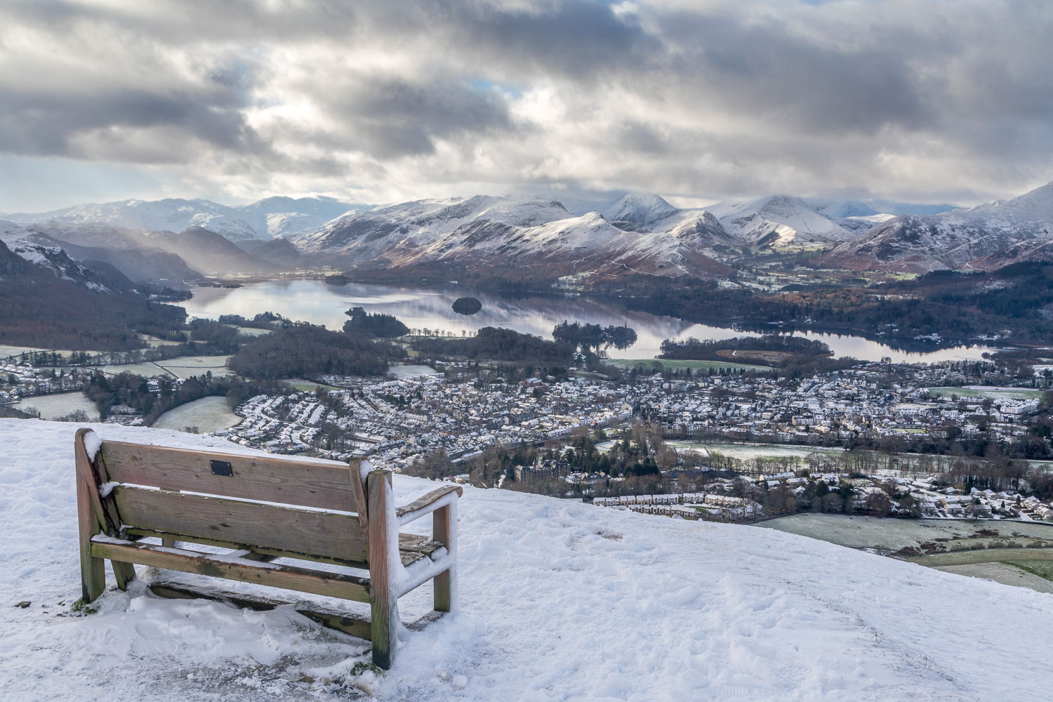
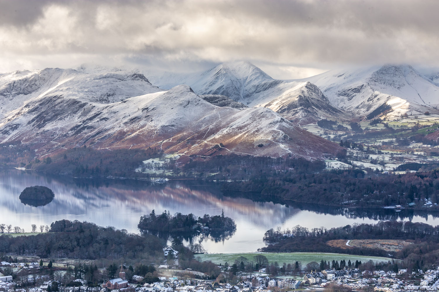
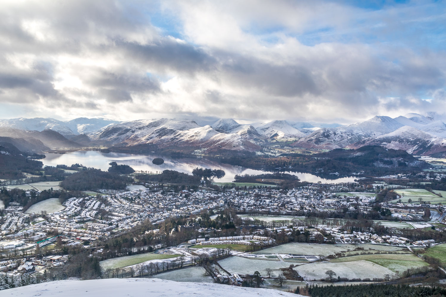
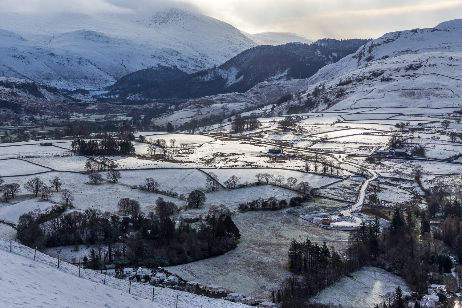
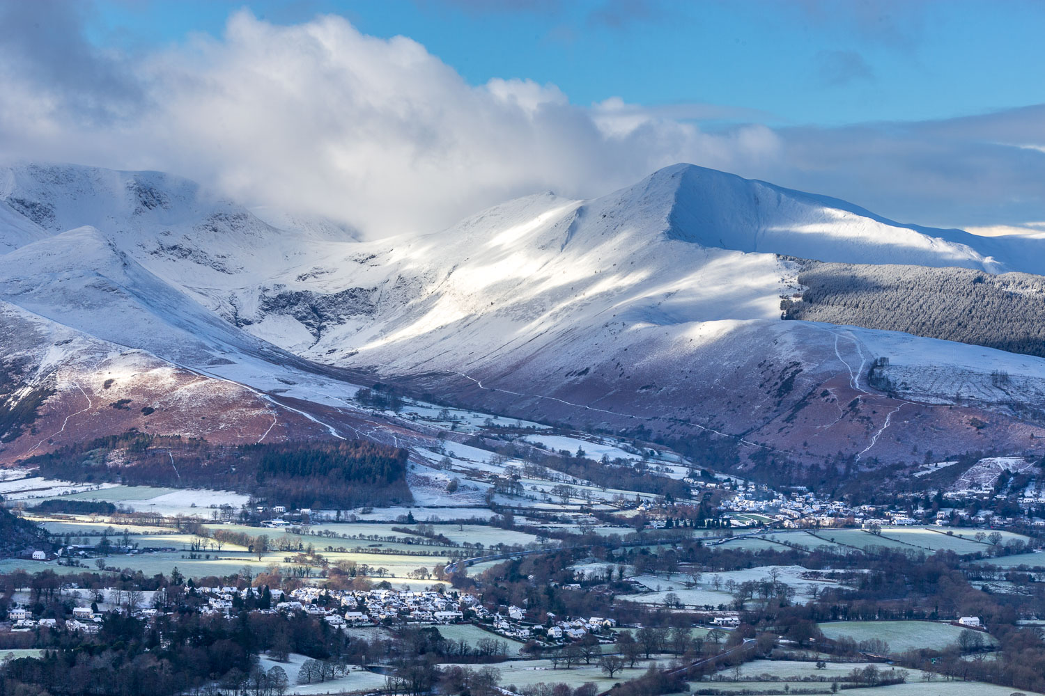
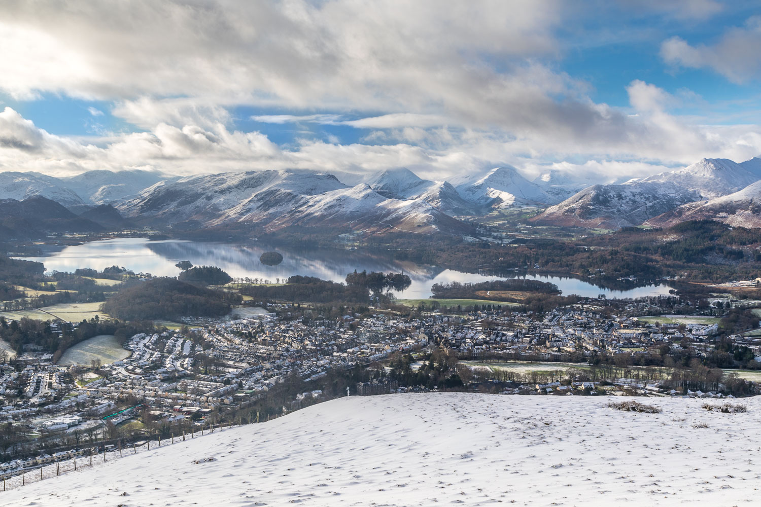
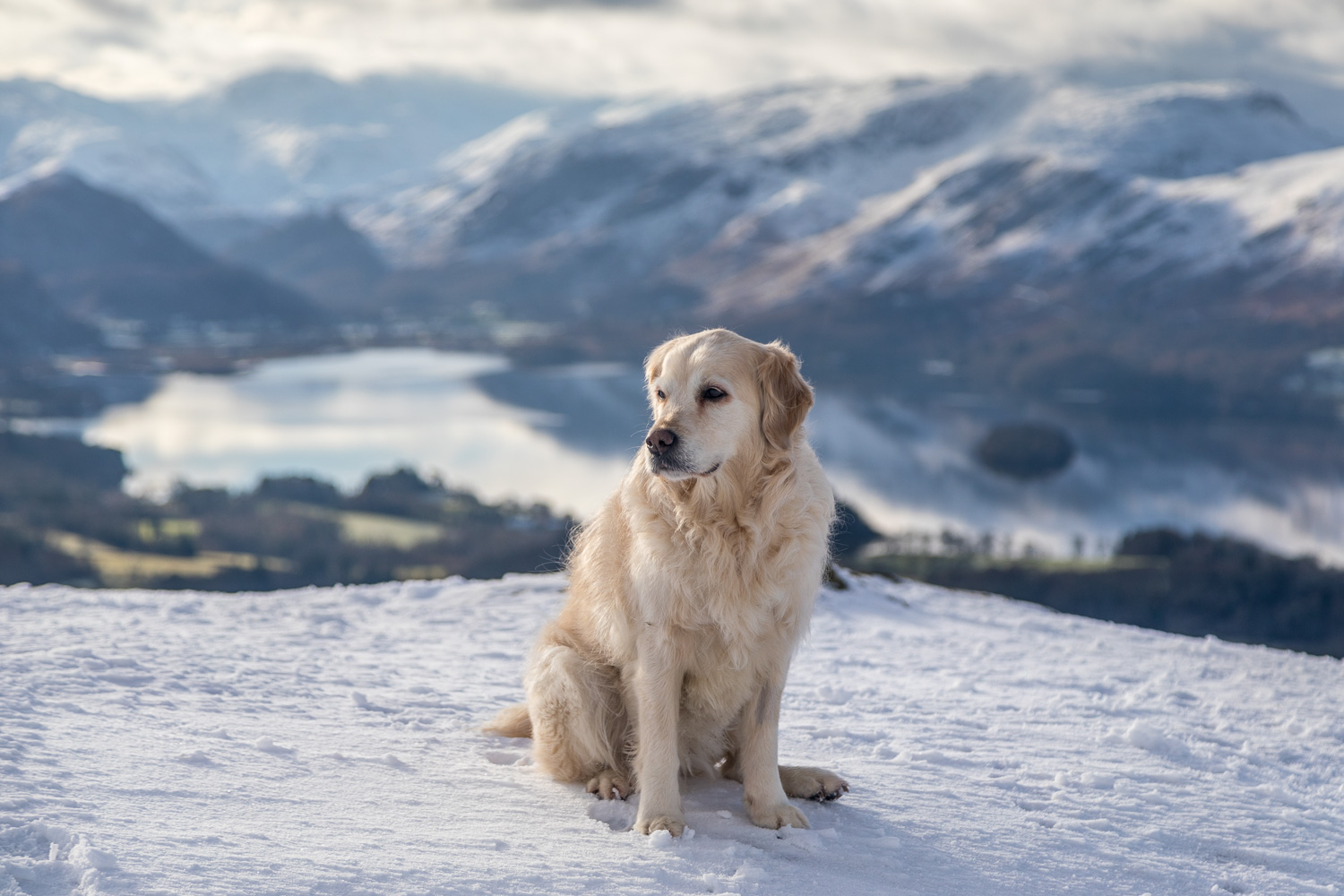
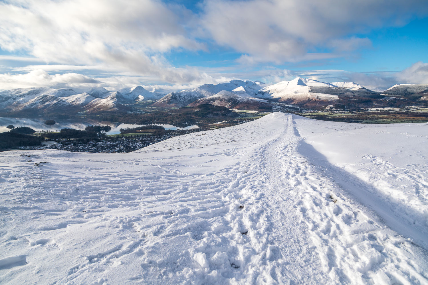
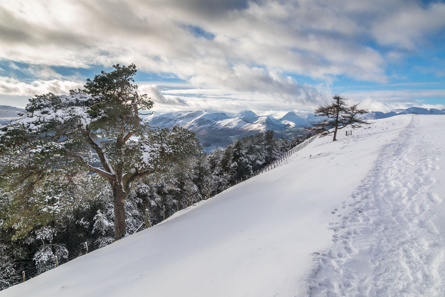
Before long we arrived at the wonderfully situated bench near the summit. We’d been keenly anticipating this moment and weren’t disappointed. The view was as glorious as I’ve ever seen it – the rooftops of Keswick below, the mirror like surface of Derwent Water beyond, and an array of snow capped lakeland peaks, all displayed in pleasing light
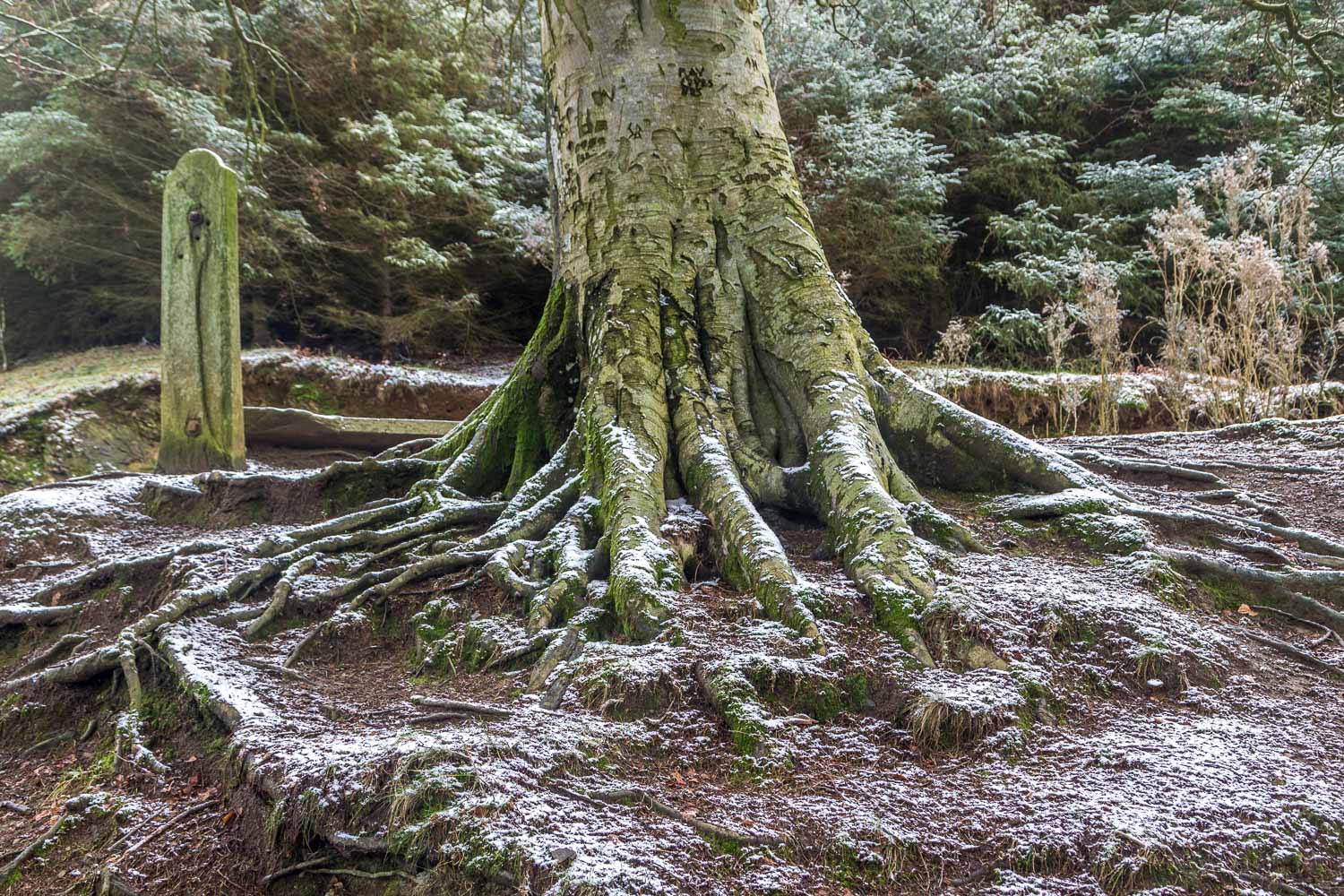
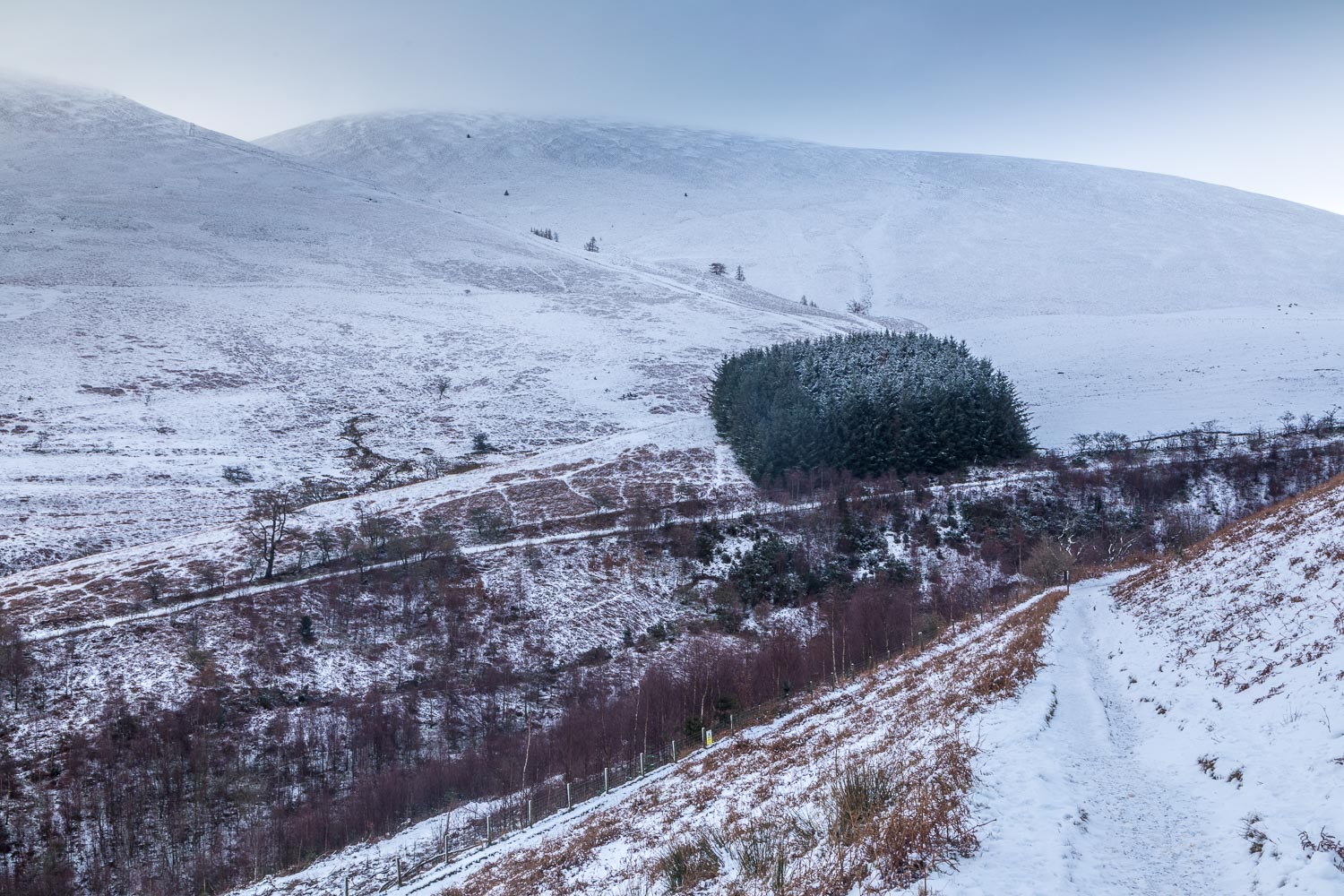
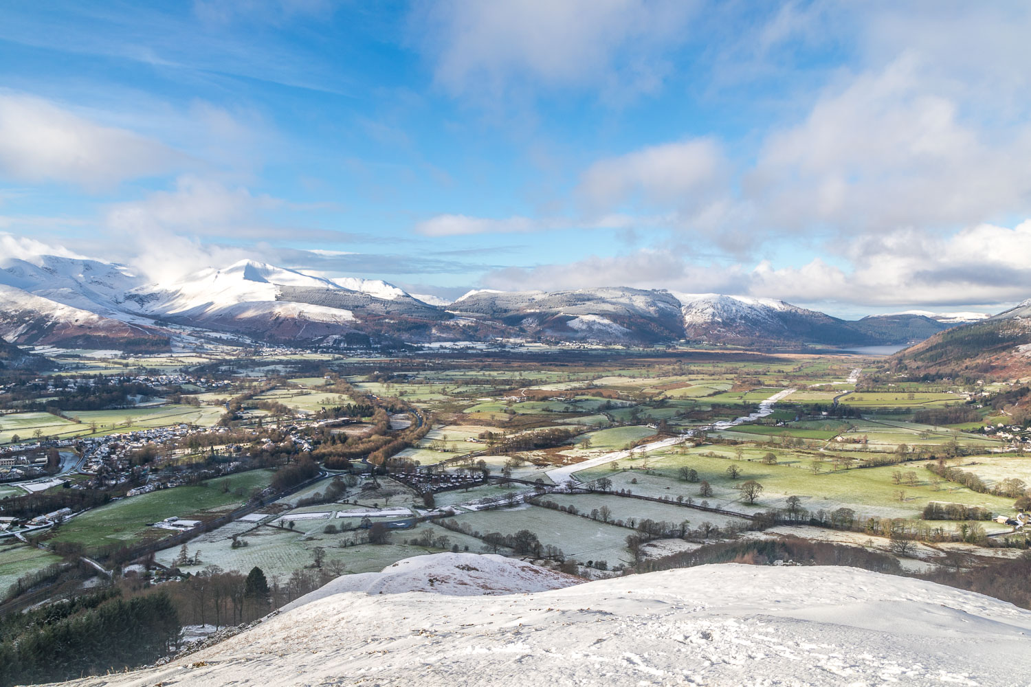
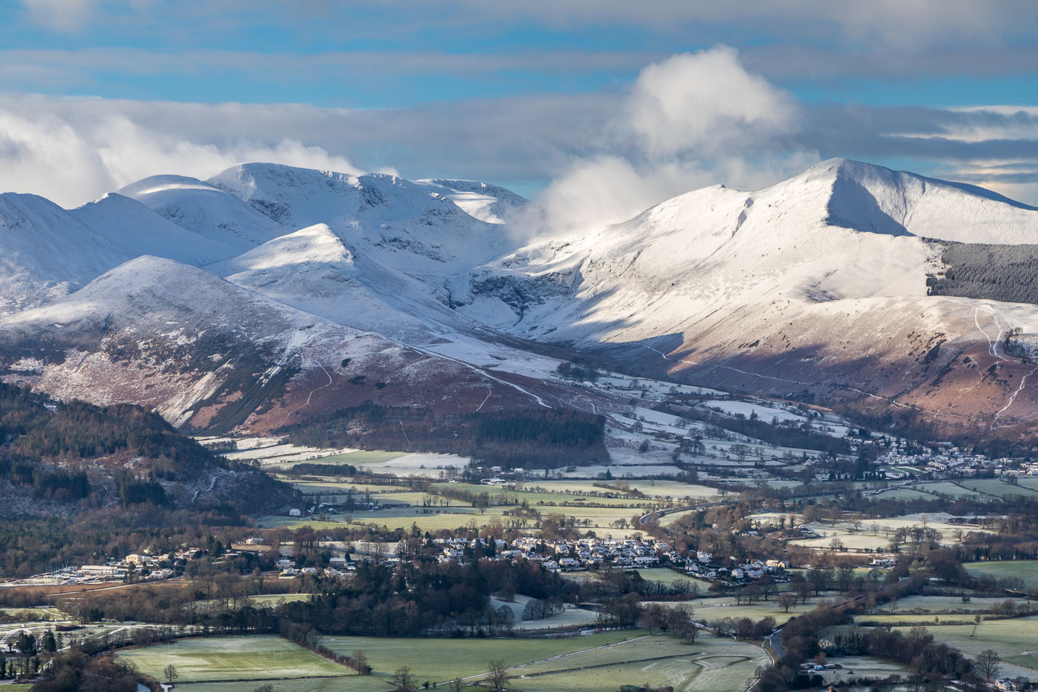
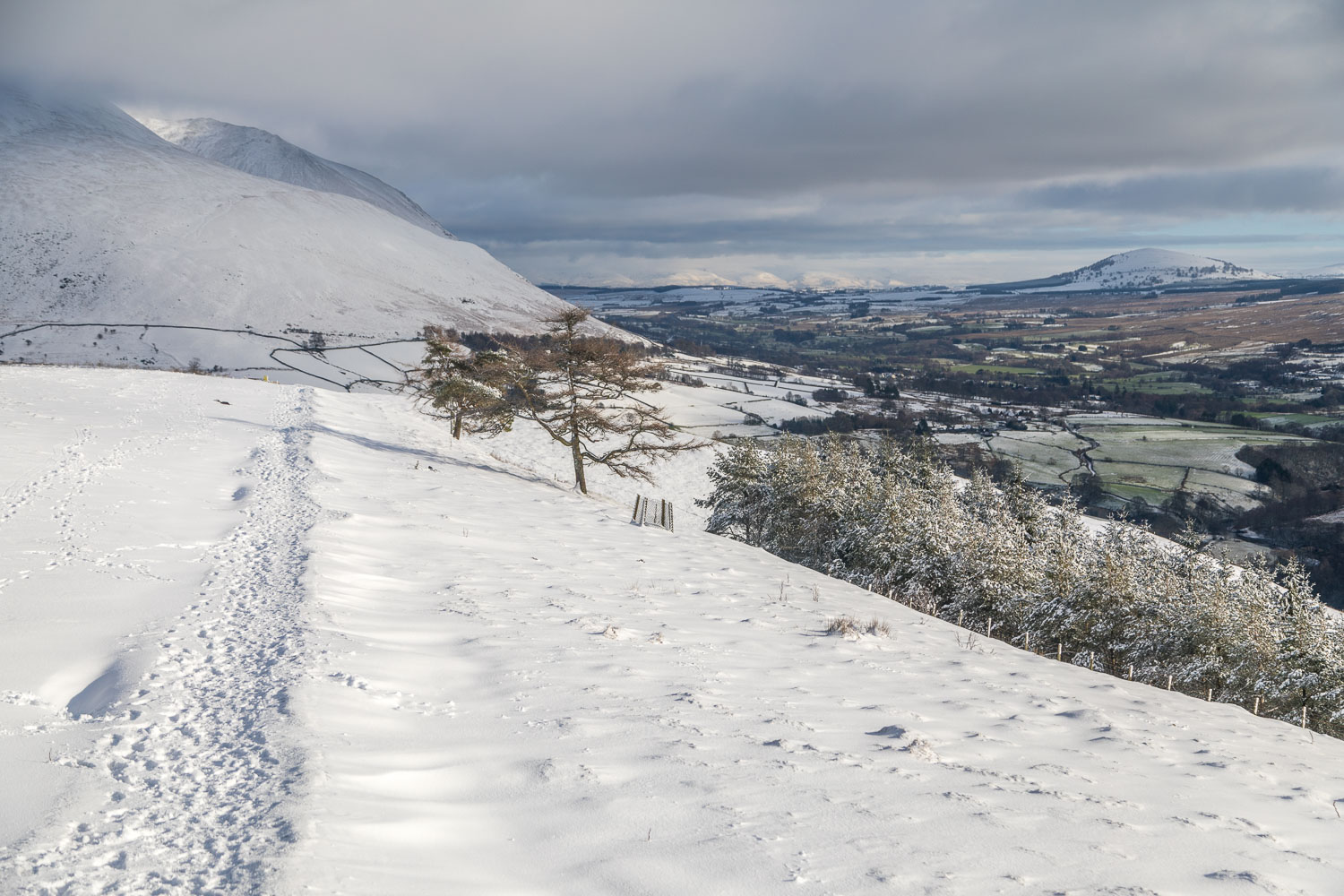
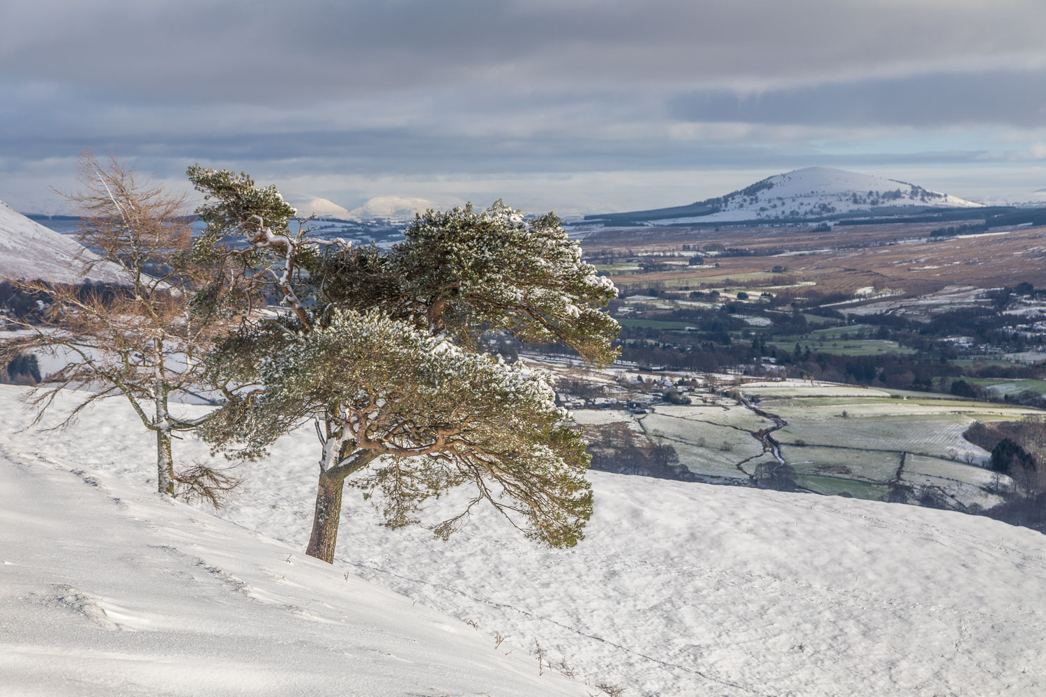
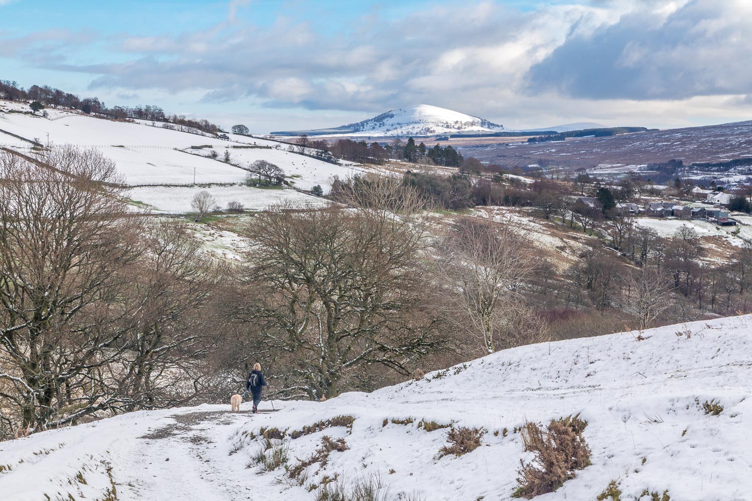
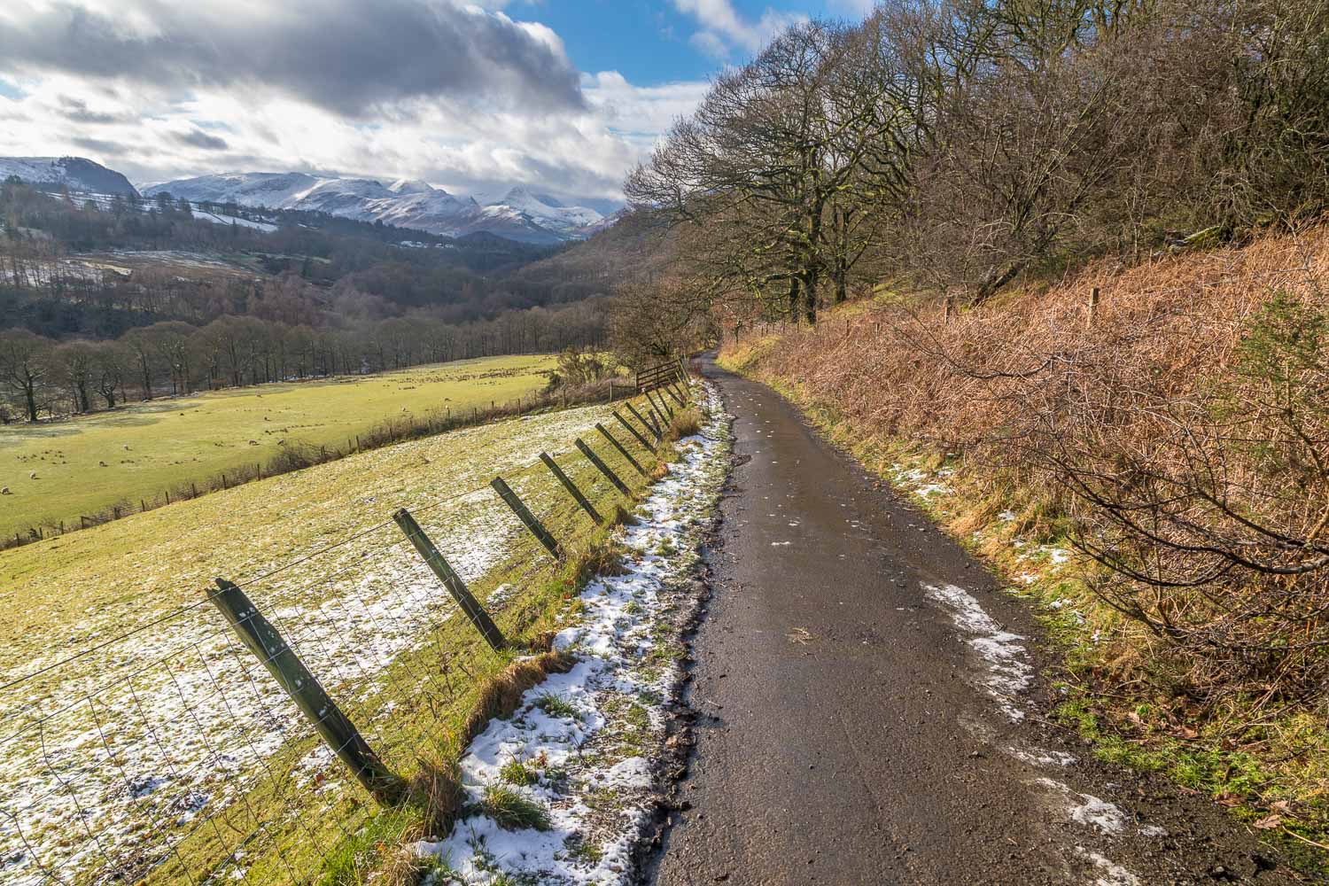
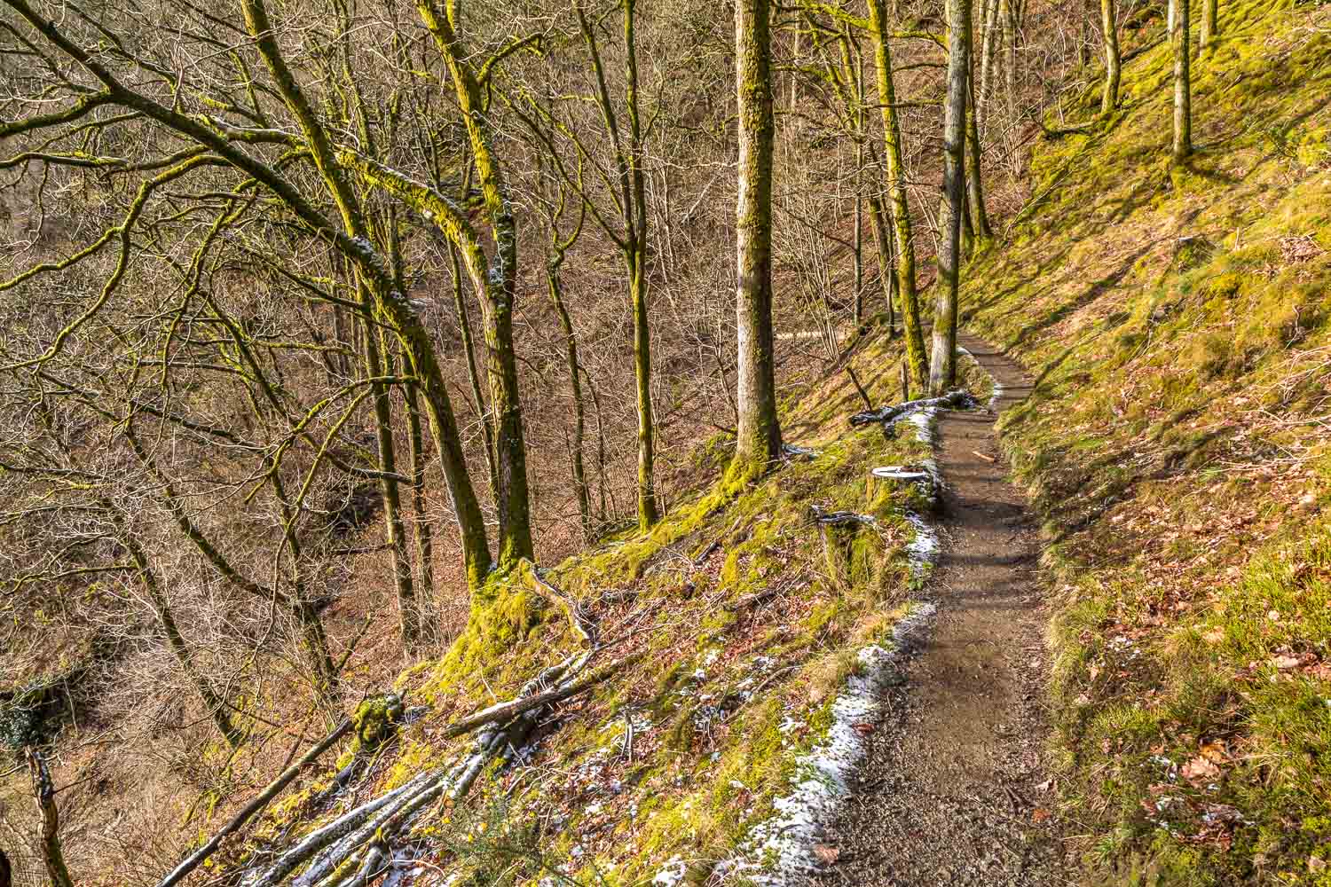
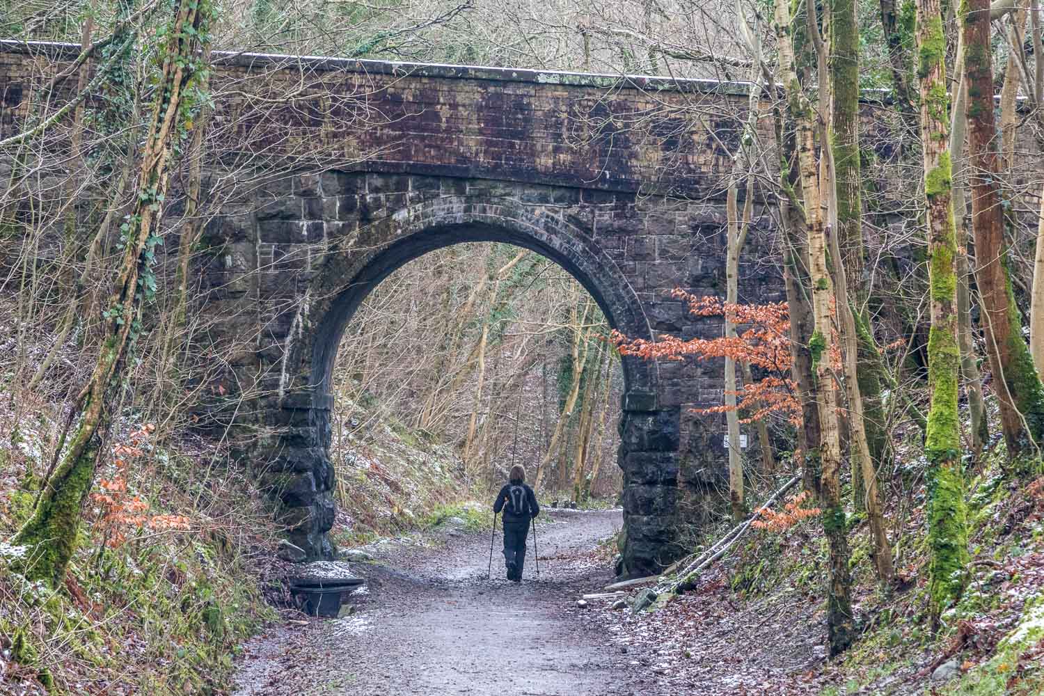
It was hard to turn our backs on such a scene but eventually it was time to descend, and we followed the ridge in an easterly direction, with views of Blencathra, Great Mell Fell and the Pennines ahead of us. At the end of the ridge we turned back west and followed a path through Brundholme Wood. This descended gently to the bank of the River Greta, where we joined the track which is the site of the old Keswick railway line. This took us along the banks of the river and into the outskirts of Keswick
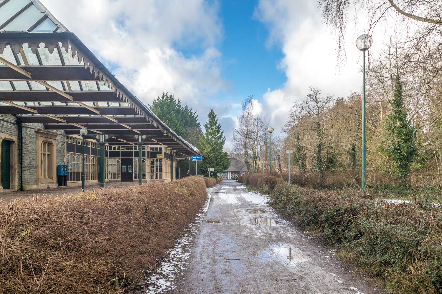
After walking past the former railway station we joined the Briar Rigg road, and from here it was a short stroll back to the start of a wonderful walk
For other walks here, visit my Find Walks page and enter the name in the ‘Search site’ box
Click on the icon below for the route map (subscribers to OS Maps can view detailed maps of the route, visualise it in aerial 3D, and download the GPX file. Non-subscribers will see a base map)
Scroll down – or click on any photo to enlarge it and you can then view as a slideshow
