Route: Langdale
Area: South Eastern Lake District
Date of walk: 15th January 2014
Walkers: Andrew
Distance: 7.5 miles
Ascent: 800 feet
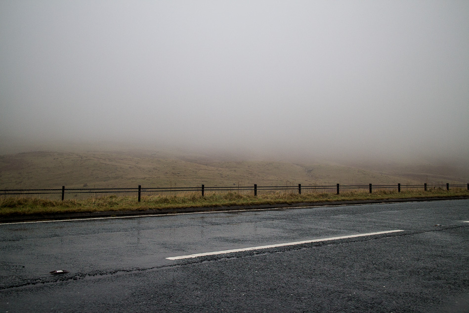
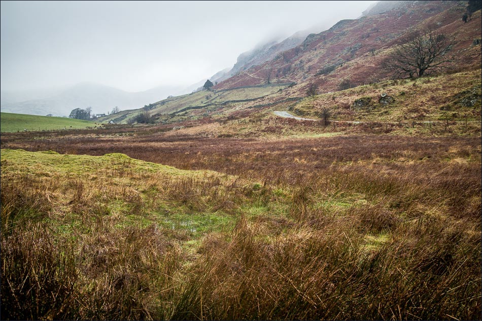
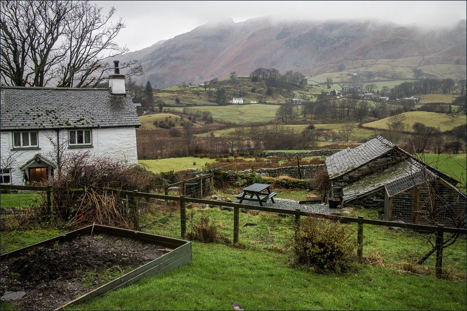
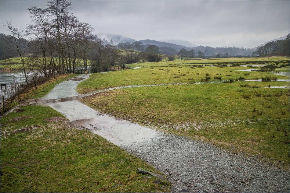
Plan A this morning was to climb Helm Crag, but on the way past I couldn’t see the foot of the fell, let alone its top. It was misty and drizzling so I had to resort to Plan B – not with reluctance as a low level walk in Langdale is always beautiful whatever the weather
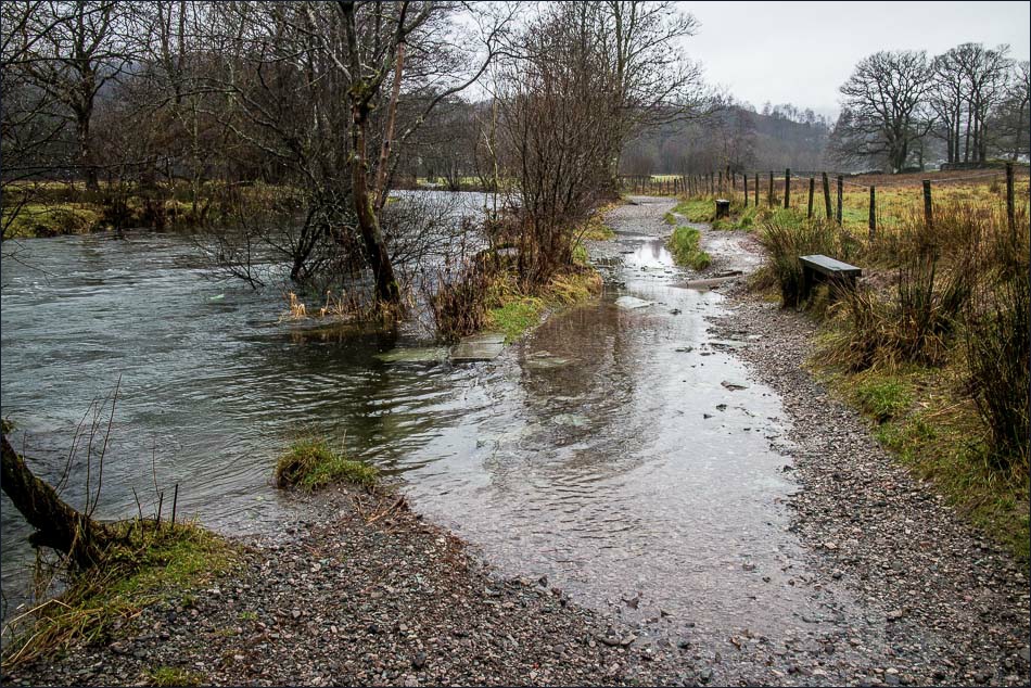
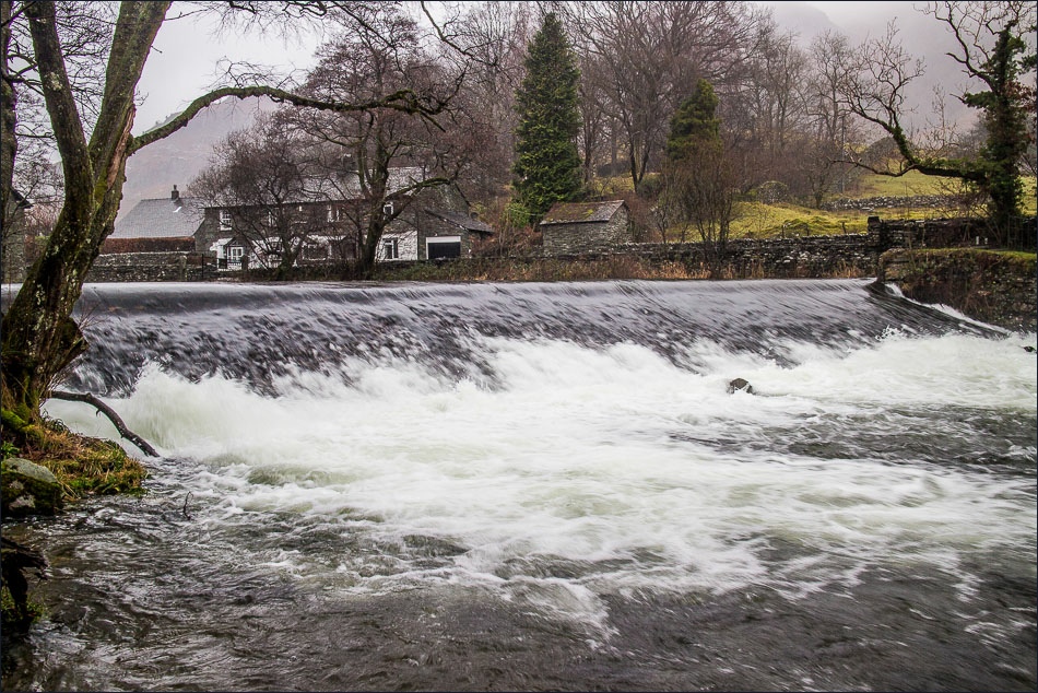
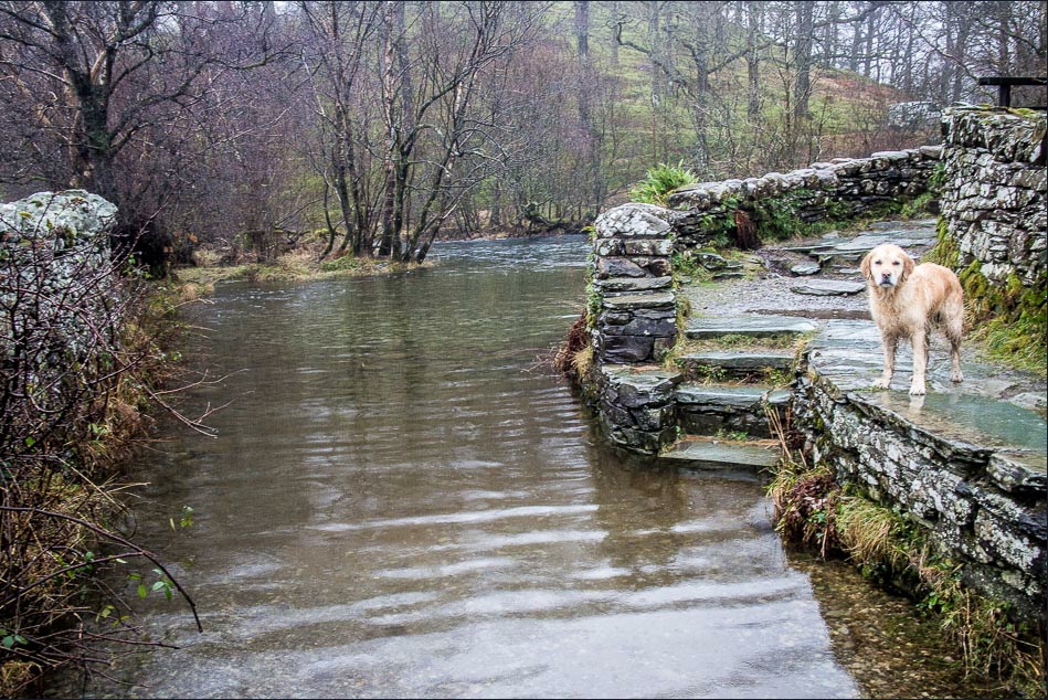
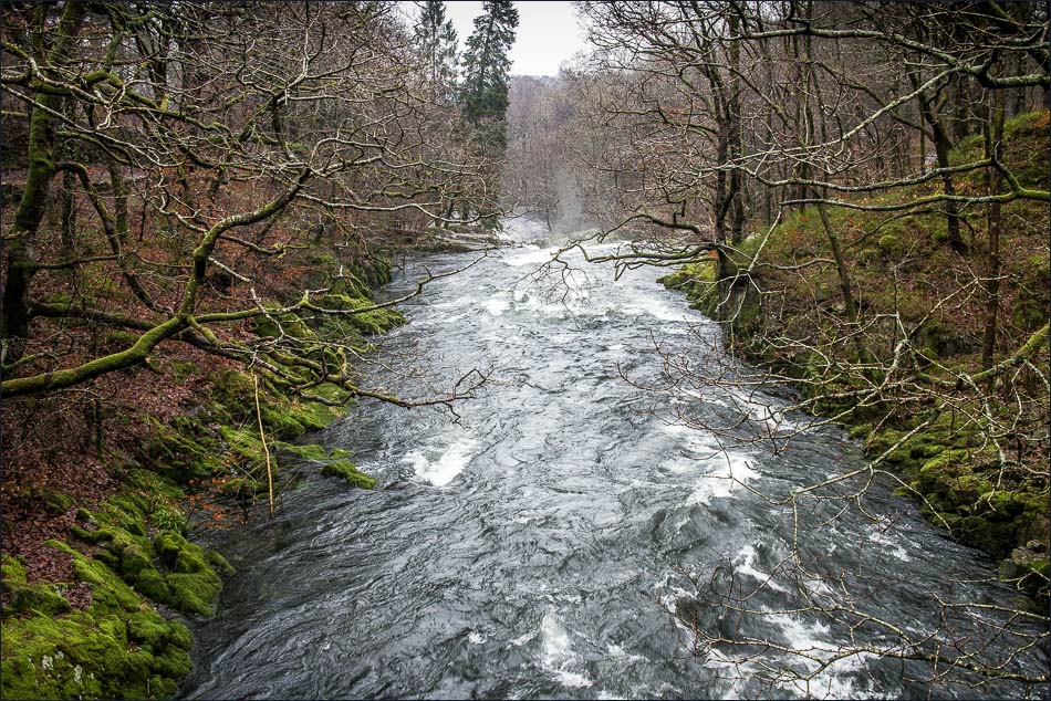
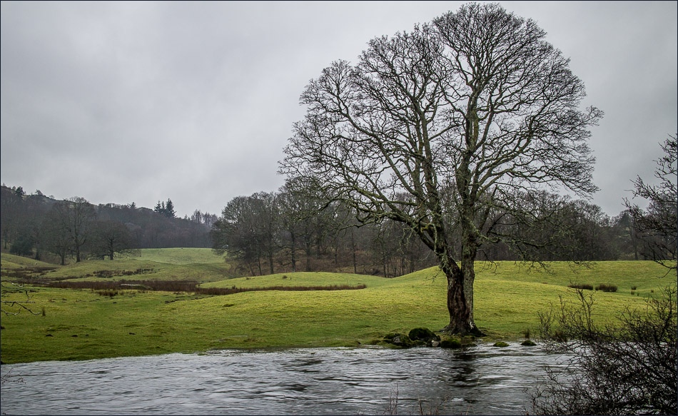
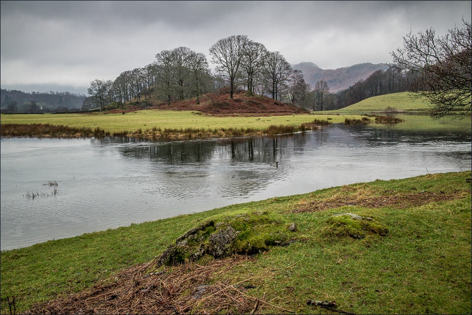
I parked near Skelwith Bridge and joined the Cumbria Way to walk along the banks of the River Brathay. The river was running very high following all the recent rain
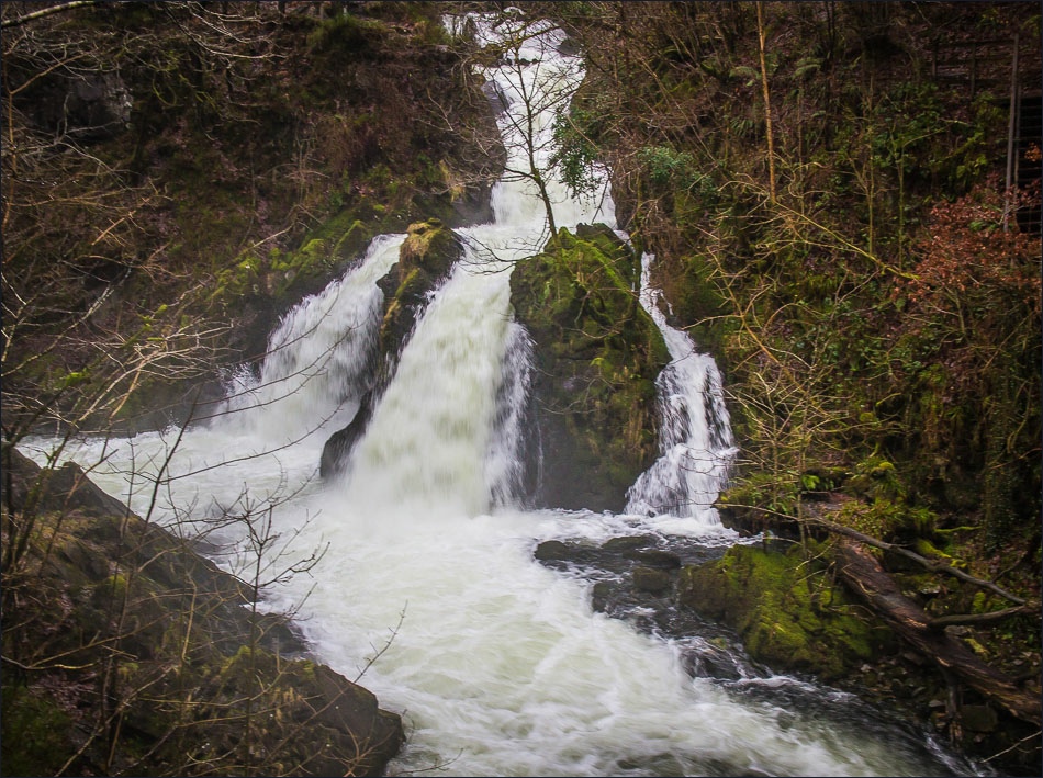
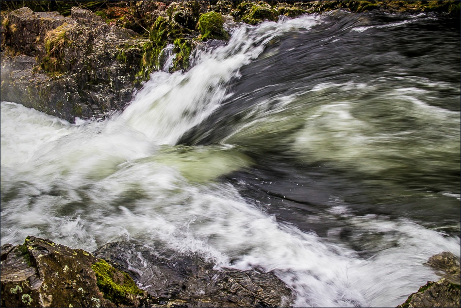
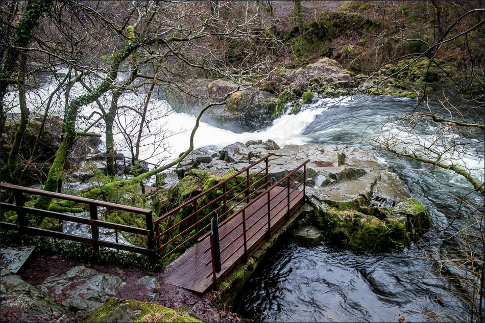
When I reached Elterwater I turned south to head through Sawrey’s Wood and across Little Langdale. The last leg of the walk took me past Colwith Force and Skelwith Force, both of which were in good form and roaring like lions
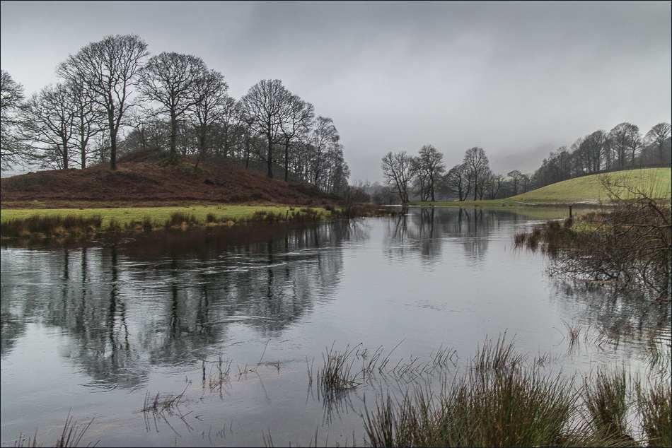
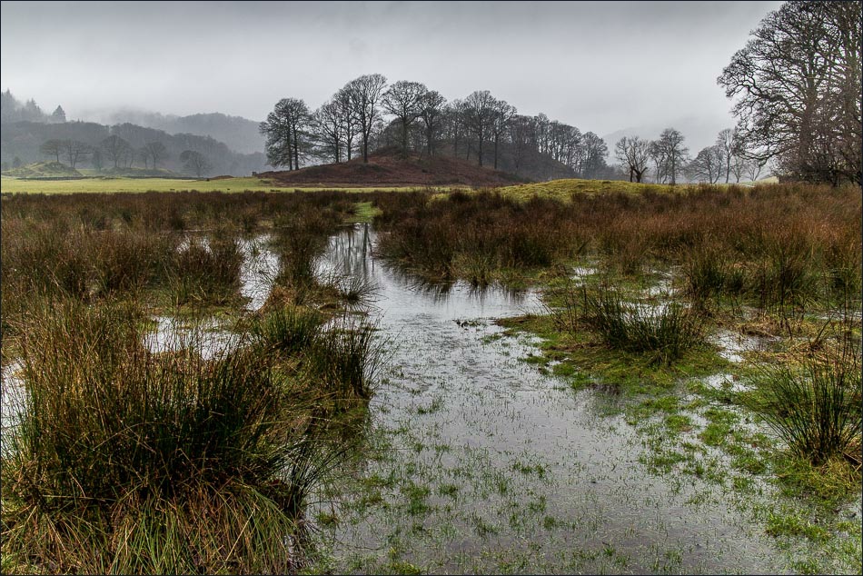
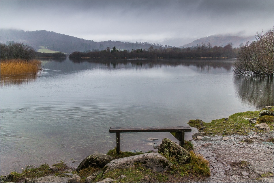
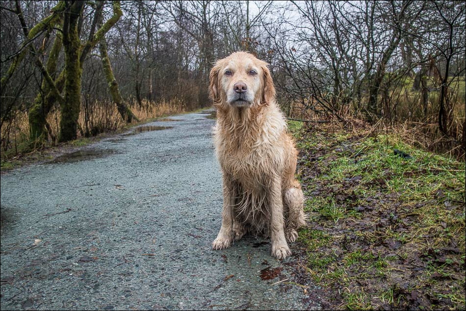
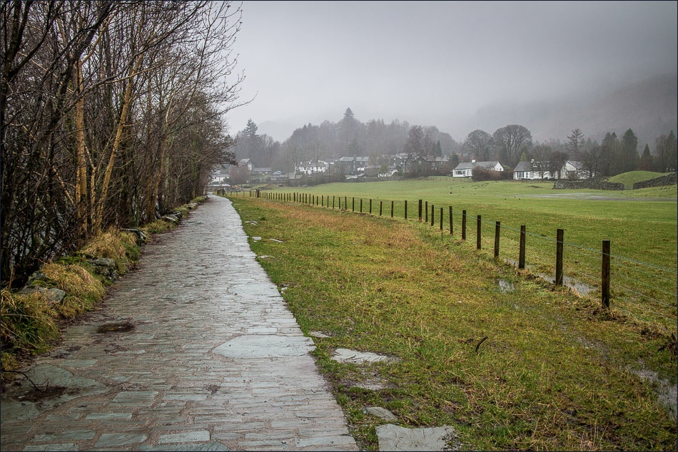
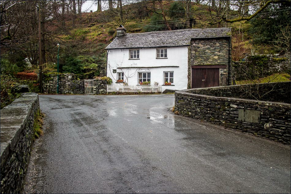
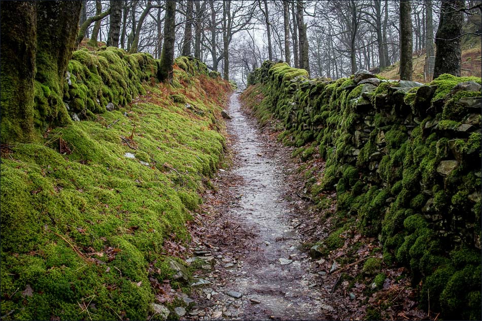
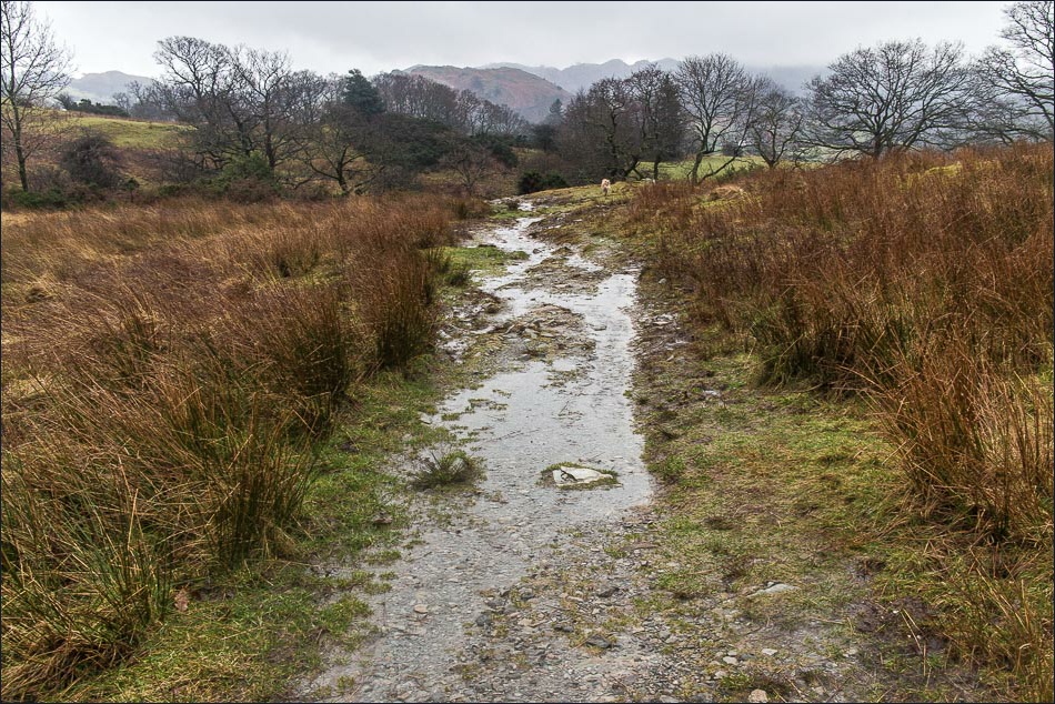
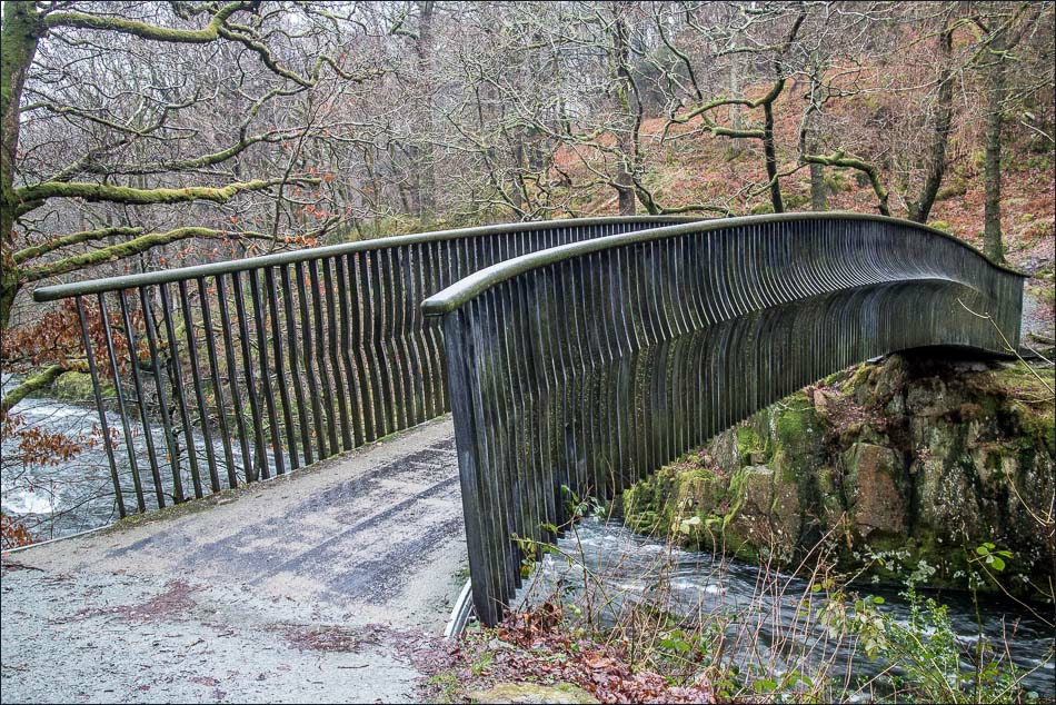
The photos below reflect the fact that the weather was unremittingly gloomy – low mist, constant rain and poor light, but I’d enjoyed the walk all the same
For other walks here, visit my Find Walks page and enter the name in the ‘Search site’ box
Click on the icon below for the route map (subscribers to OS Maps can view detailed maps of the route, visualise it in aerial 3D, and download the GPX file. Non-subscribers will see a base map)
Scroll down – or click on any photo to enlarge it and you can then view as a slideshow
