Route: Hackness to Langdale End and back
Area: North York Moors
Date of walk: 30th November 2014
Walkers: Andrew and Gilly
Distance: 8.3 miles
Weather: overcast and dull
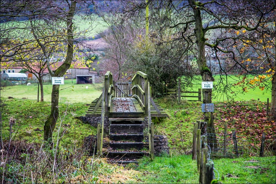
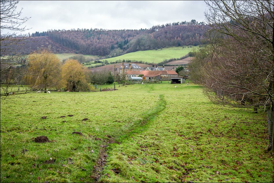
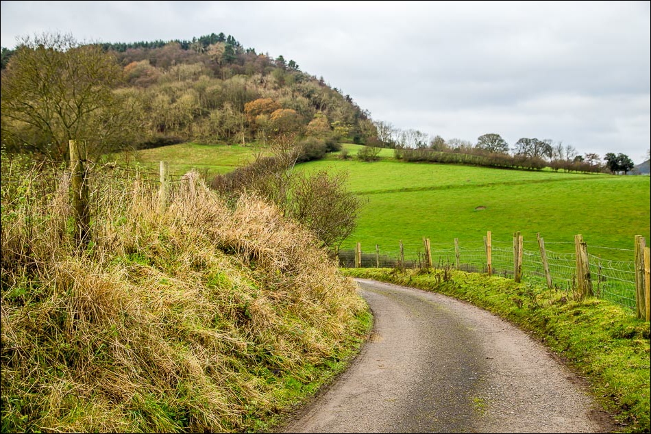
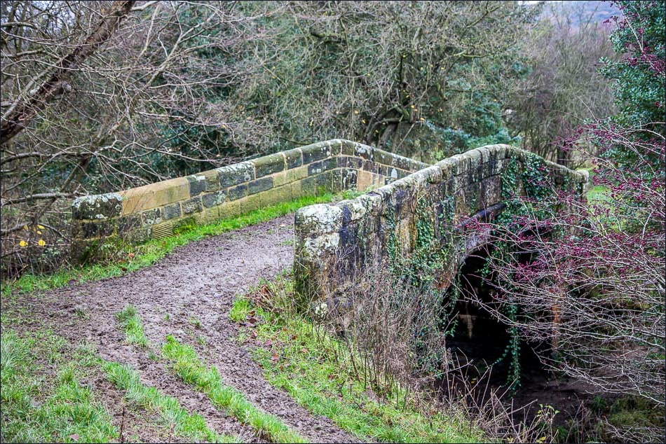
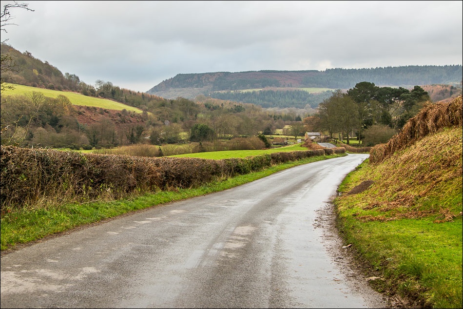
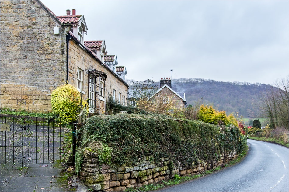
We parked at Derwent View Hackness – anyone not staying at the cottage will find plenty of parking elsewhere in the village. We walked out of the village along Mowthorp Road and after a short distance left the road to cross the River Derwent over a wooden footbridge
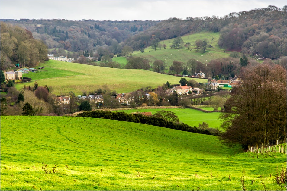
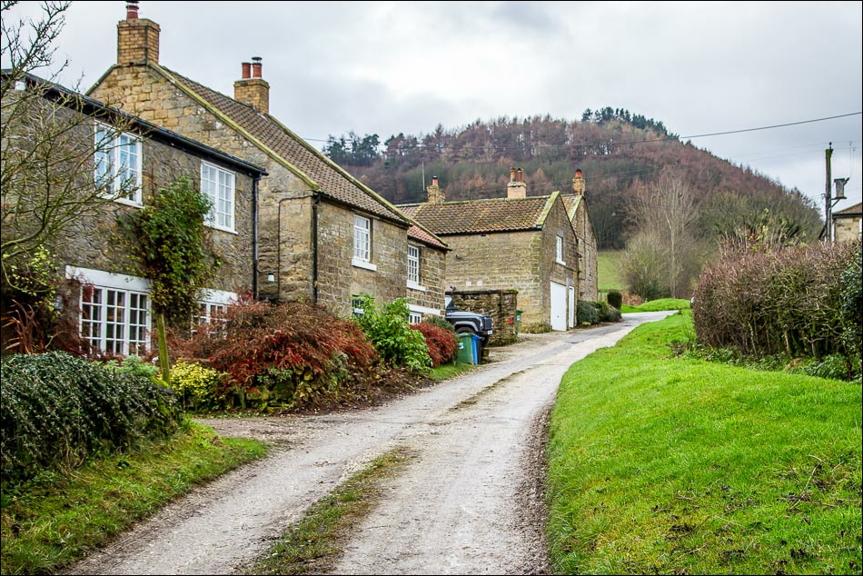
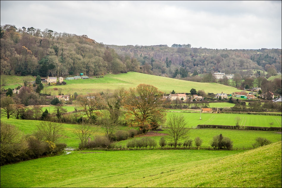
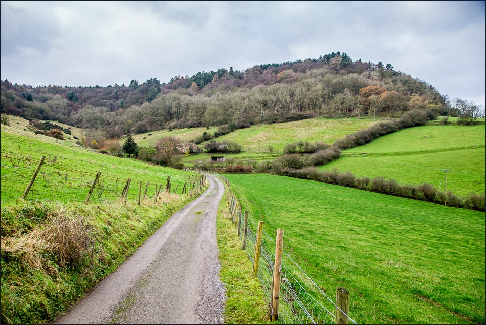
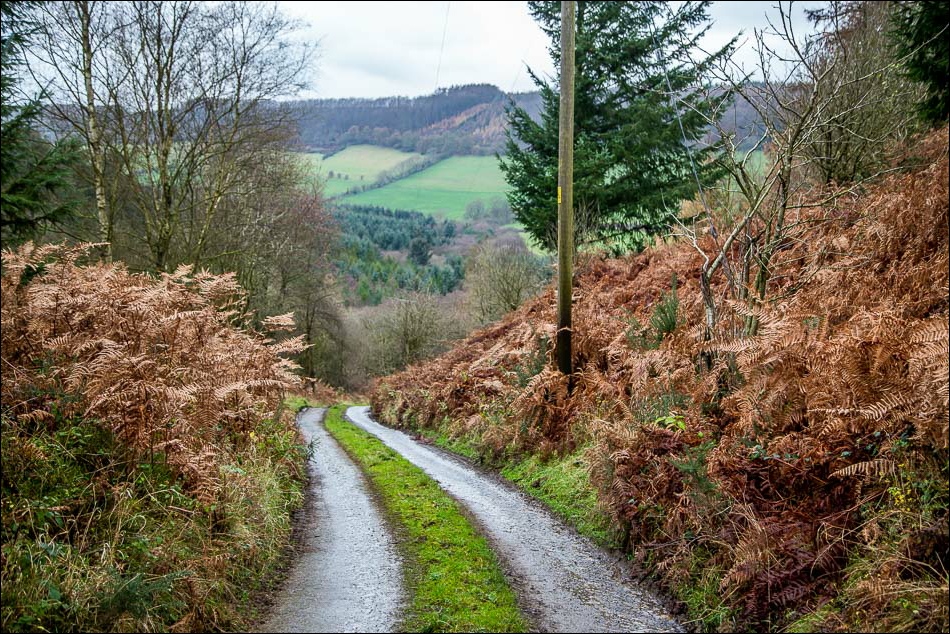
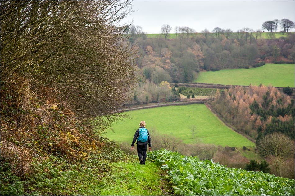
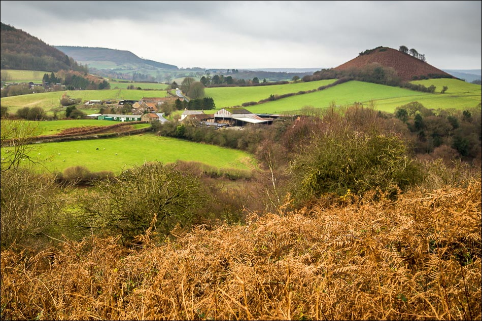
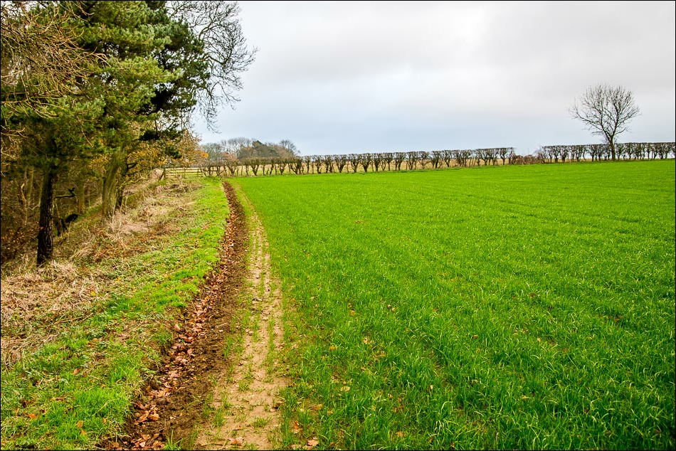
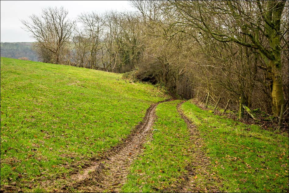
After walking through Wrench Green we climbed uphill along Lang Gate before turning off along a track which took us to the oddly named Mount Misery. We descended to the Troutsdale Road and then had another up and down before arriving in Langdale End
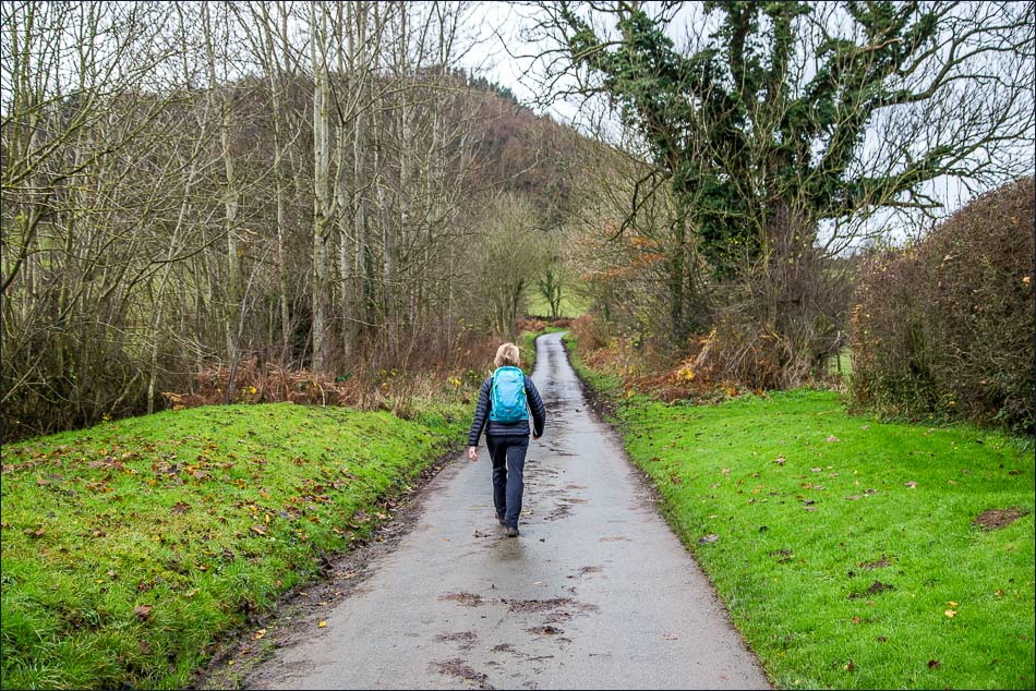
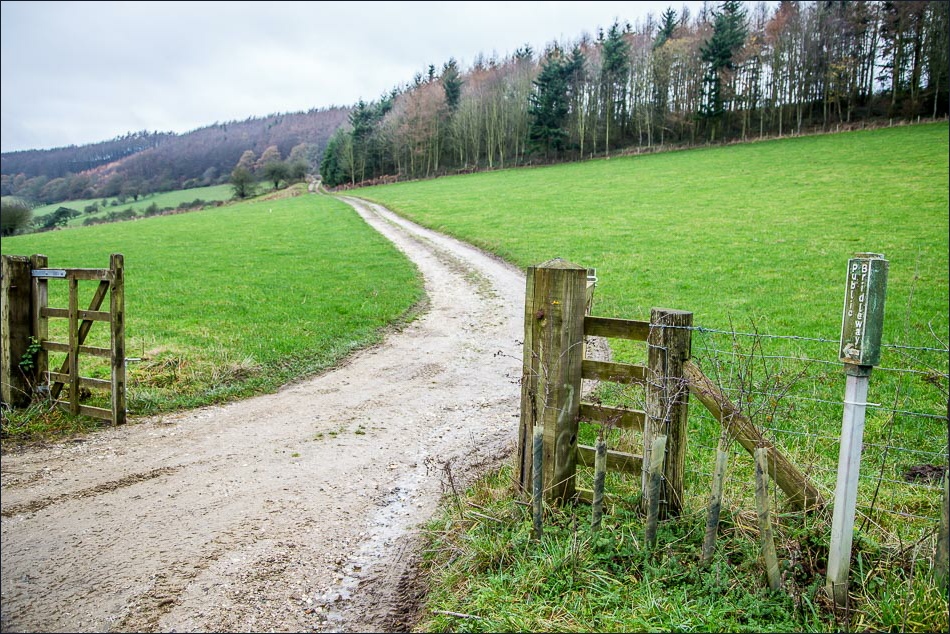
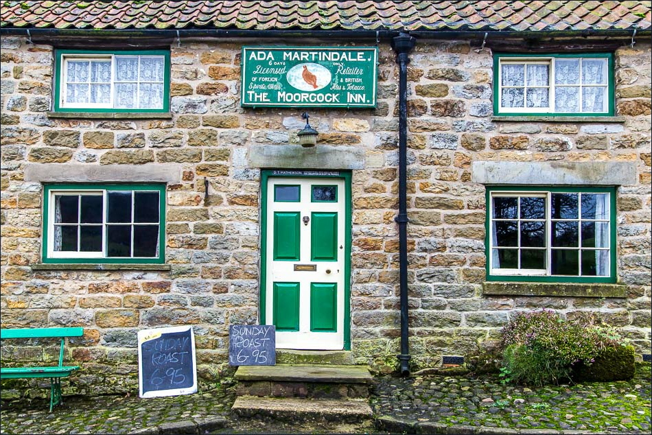
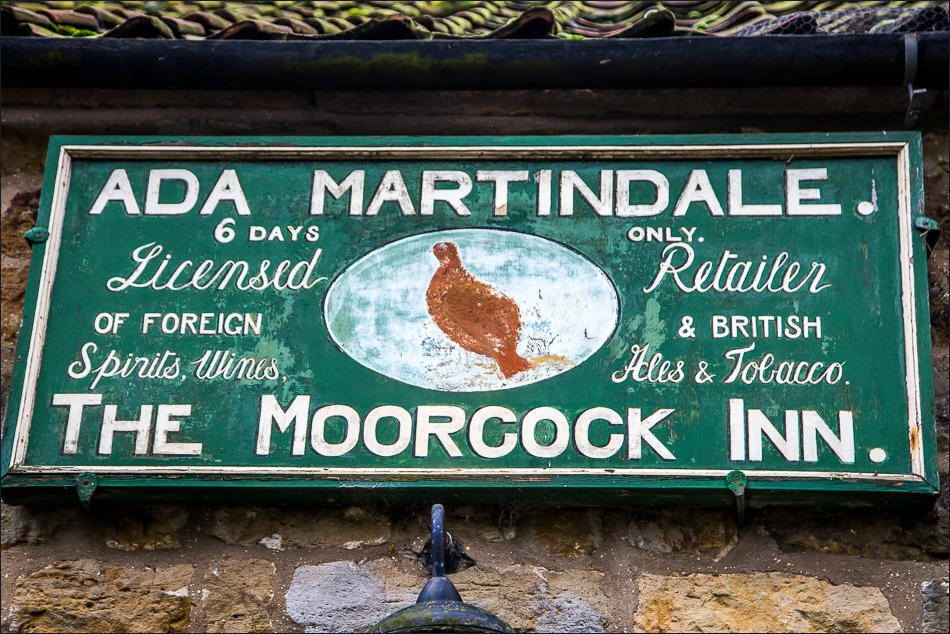
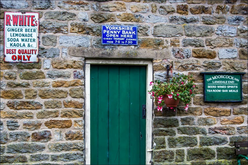
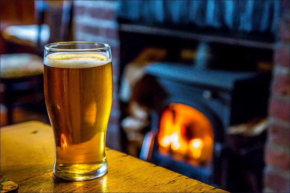
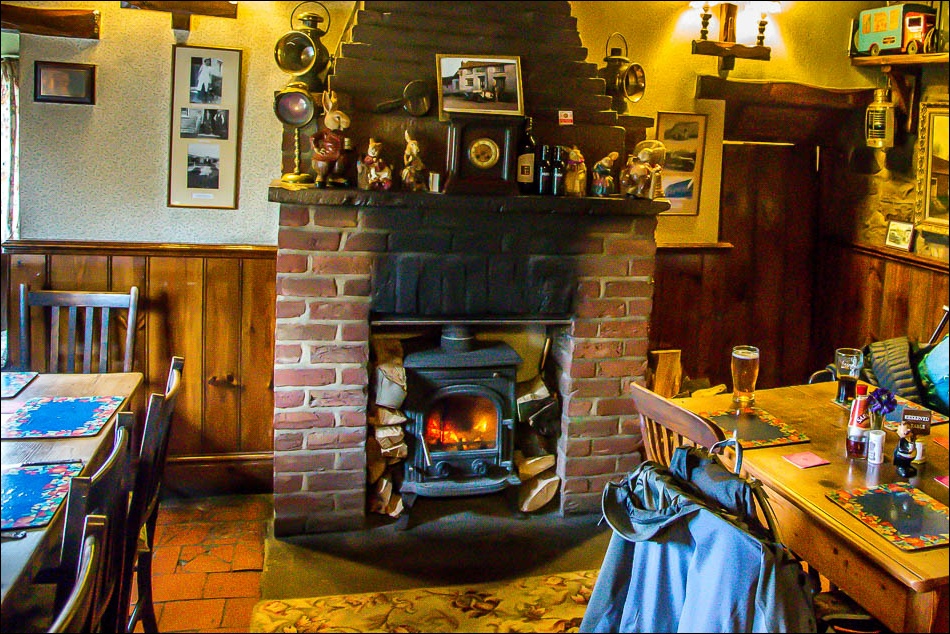
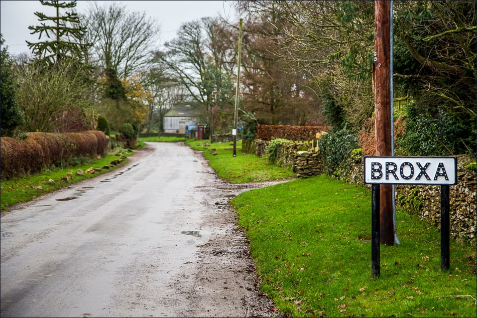
The Moorcock Inn in Langdale End was serving Sunday lunch though we had to knock on the door to gain admittance. The Inn is well worth a visit, though it’s opening times are erratic – it hasn’t changed for decades and it feels as if you’re having a drink in someone’s front room. We really enjoyed our time there and after settling our bill with cash (debit and credit cards aren’t accepted), we walked back along the road for a short distance before climbing up Broxa Banks to the little village of Broxa
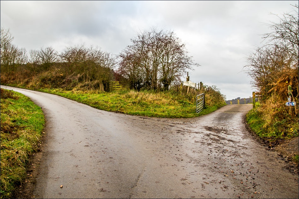
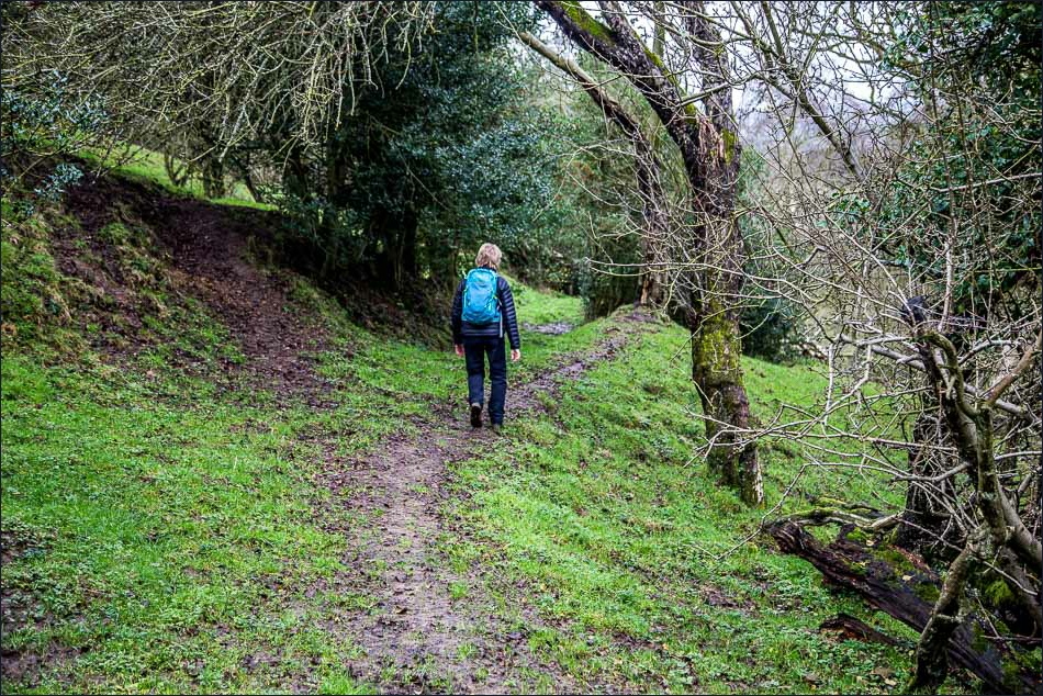
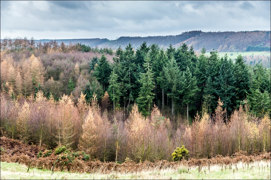
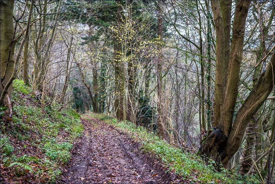
The last leg of the journey was along Broxa Rigg and near the end of the Rigg we descended through Chapman Banks Wood back to the start
Click on the icon below for the route map (subscribers to OS Maps can view detailed maps of the route, visualise it in aerial 3D, and download the GPX file. Non-subscribers will see a base map)
Scroll down – or click on any photo to enlarge it and you can then view as a slideshow
