Route: Huggate Wold
Area: East Yorkshire
Date of walk: 31st July 2024
Walkers: Andrew and Gilly
Distance: 5.4 miles
Ascent: 600 feet
Weather: Sunny and warm
Although Huggate village lies in a hollow it is claimed to be the highest village on the Yorkshire Wolds at around 558 feet above sea level. However, nearby Fridaythorpe makes the same claim and is said to be 561 feet. I’m not sure which is correct
We parked on the road near Grade I listed St Mary’s Church where there is limited space for two or three cars. If considerate parking is not possible herethere’s a large public car park at the edge of the village on the Driffield road. We made a short diversion to the church which dates back to the 12th century and is currently undergoing renovation thanks to a National Lottery Heritage Fund
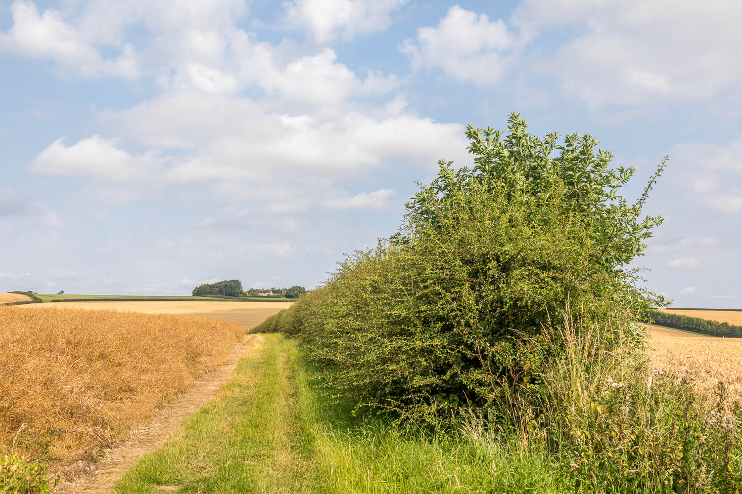
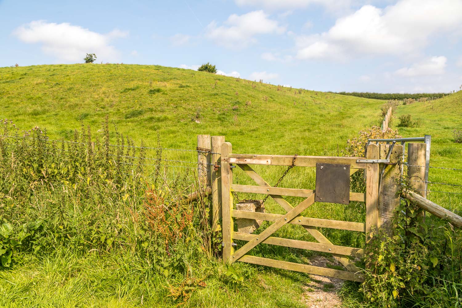
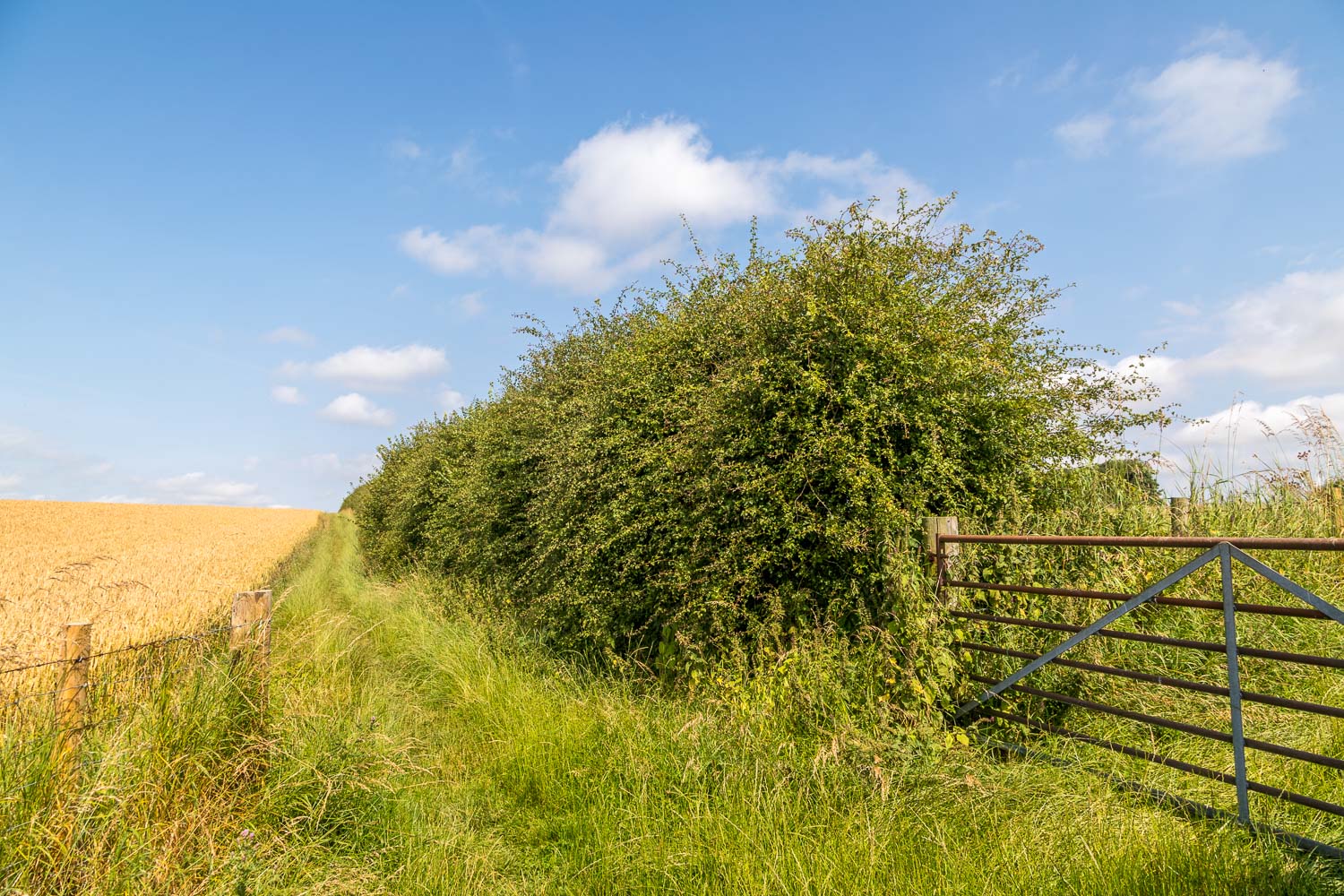
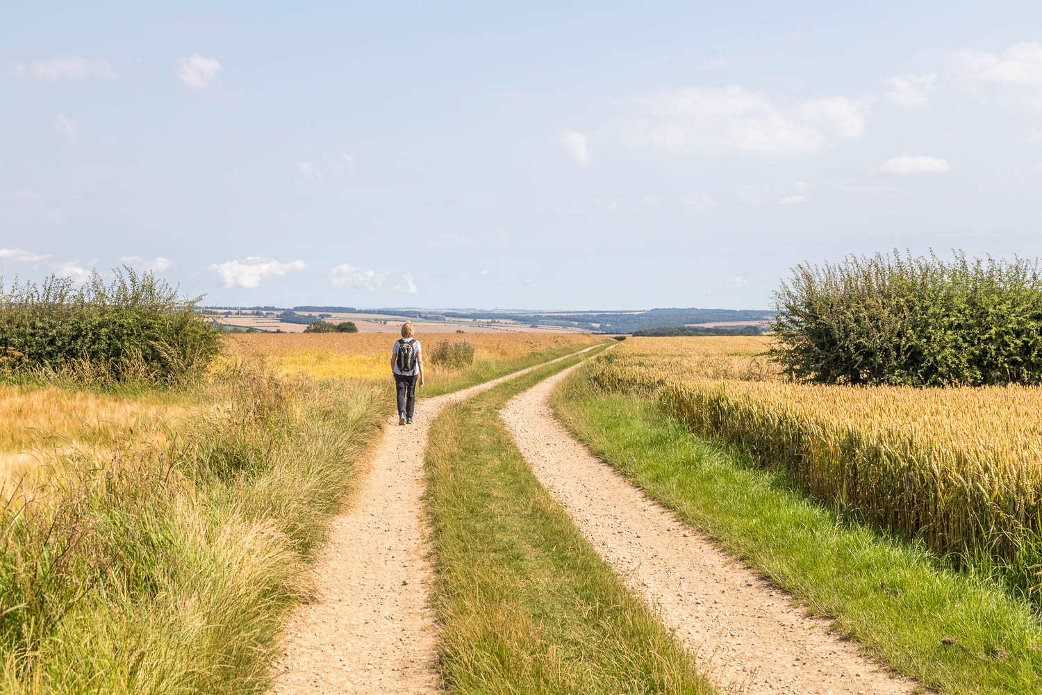
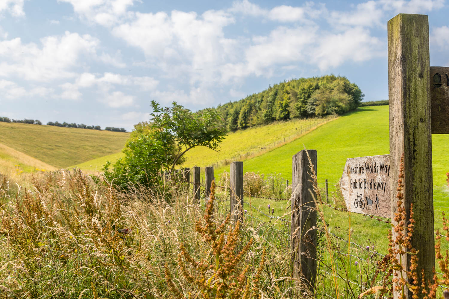
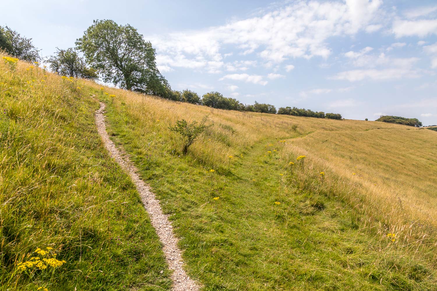
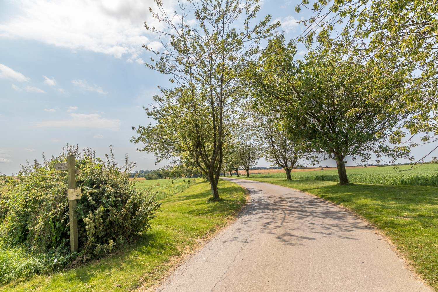
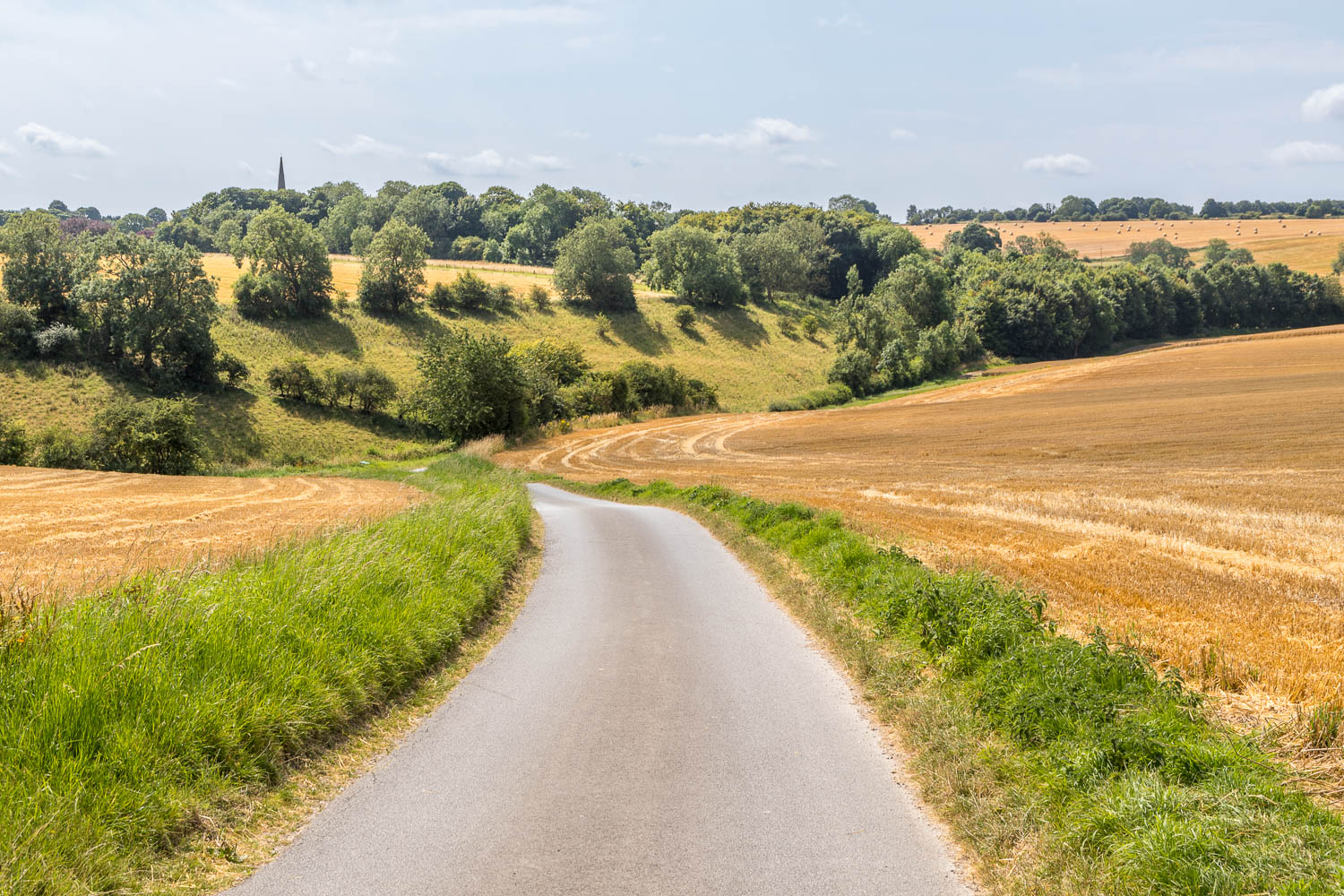
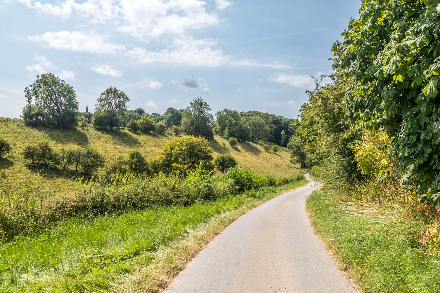
After retracing our steps we headed north along the lane out of Huggate, turning left to join a track which passes by Glebe Farm. This section of the route is part of the long distance Yorkshire Wolds Way. Beyond the farm there followed a descent into Horse Dale, and then a climb out of it, following a path along West Lands which took us on to Huggate Wold. We left the Wolds Way and turned right at the track leading to Wold House Farm and followed the waymarked path through the farmyard and across Huggate Wold. There were huge views over the surrounding countryside as we made our way across the top of the wold
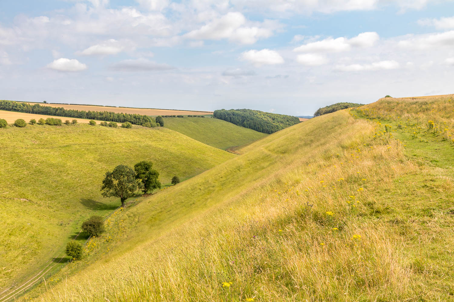
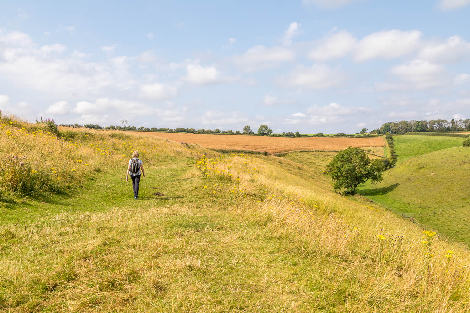
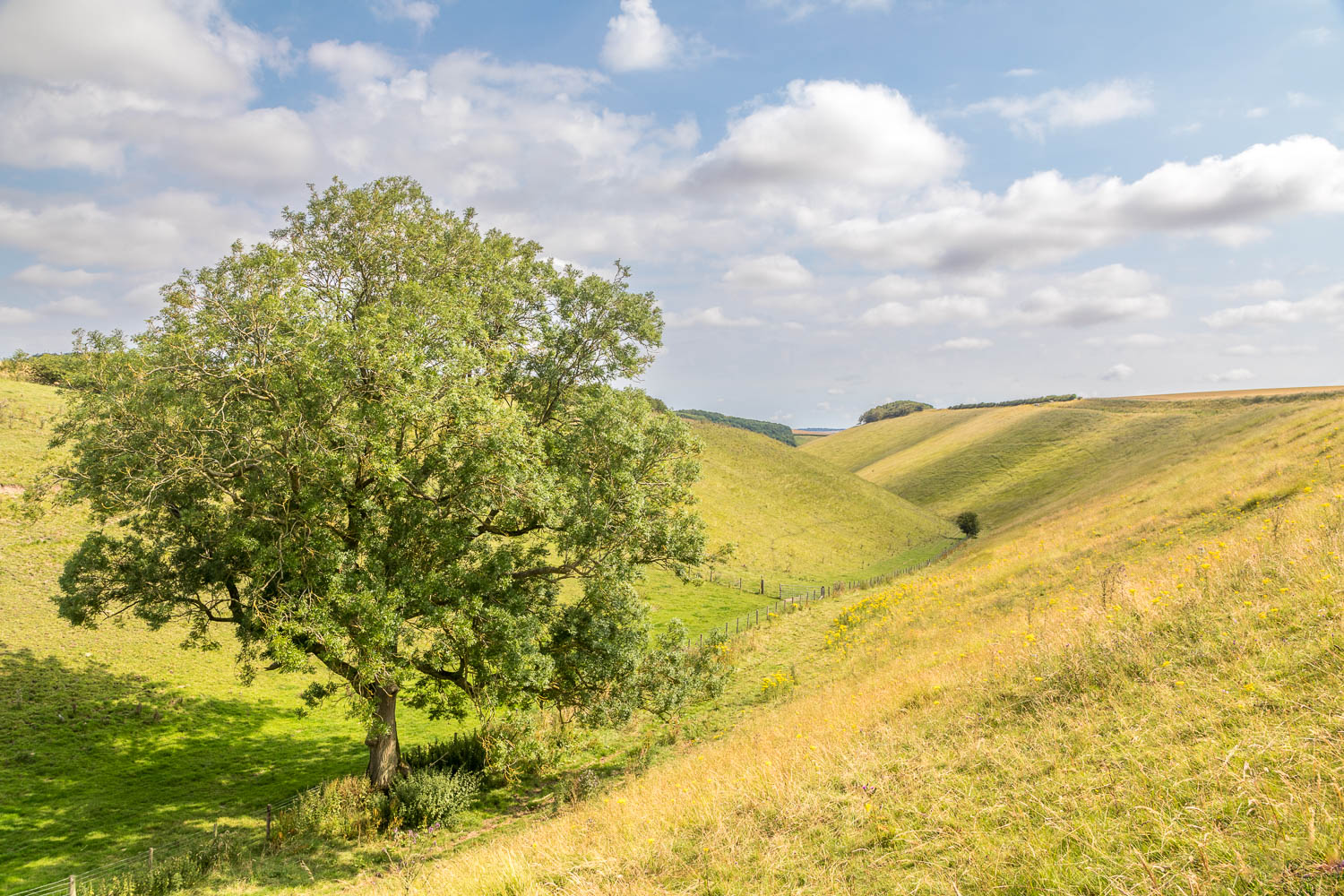
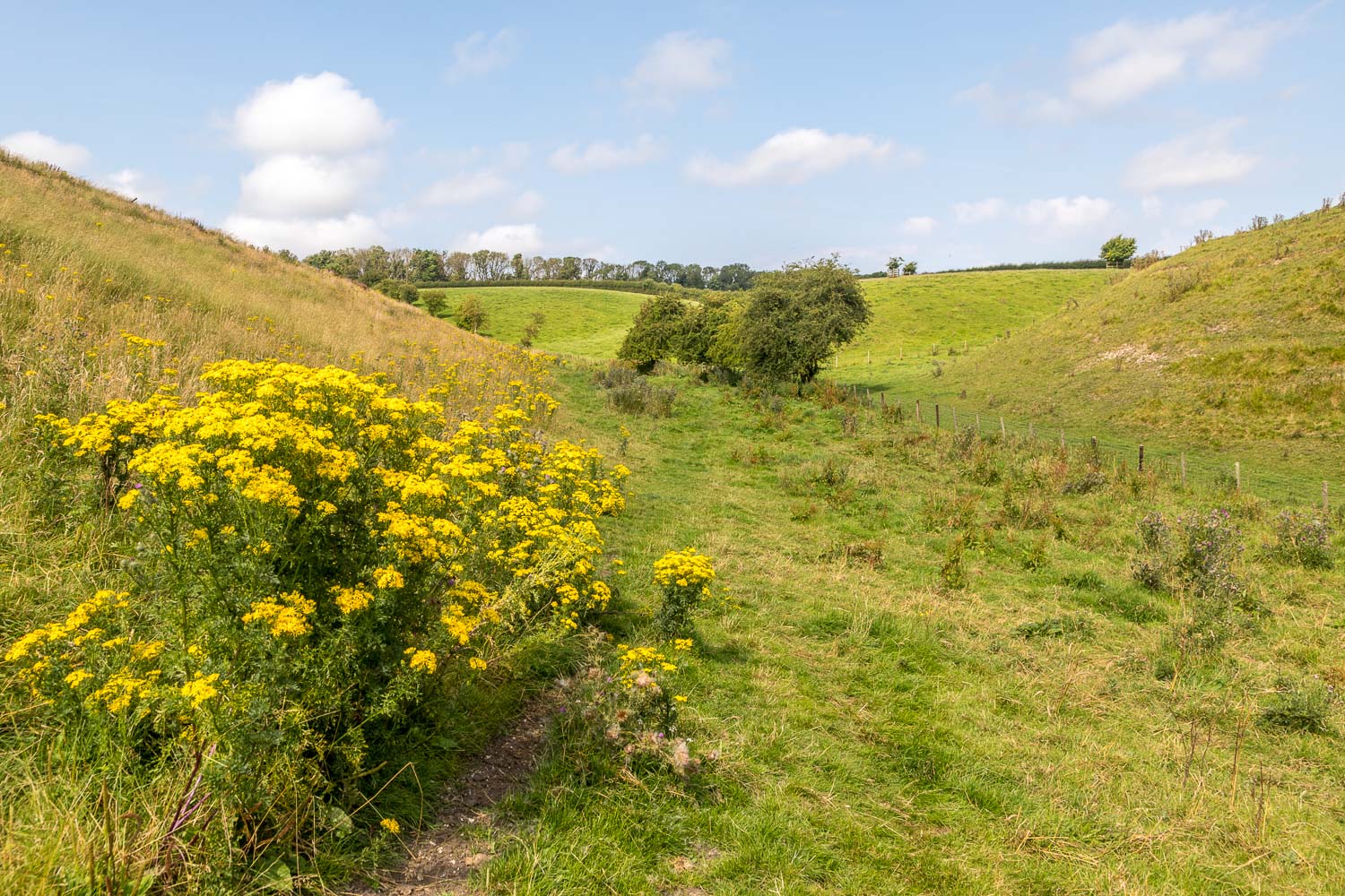
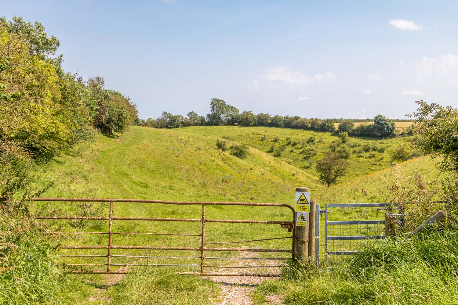
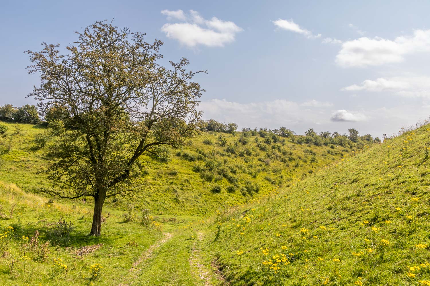
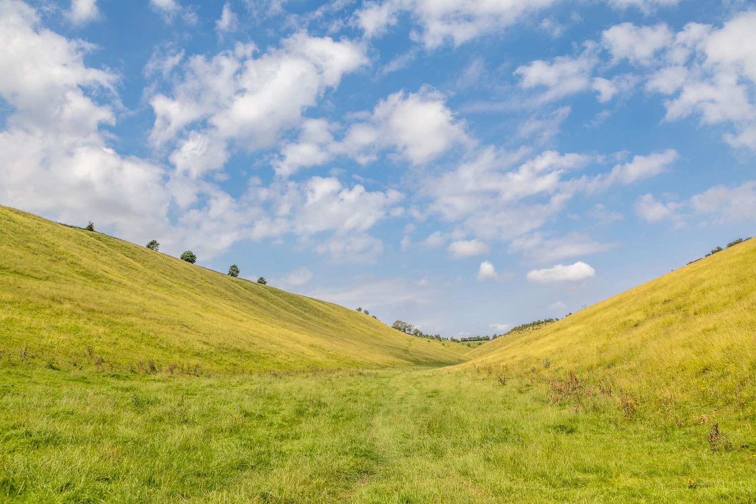
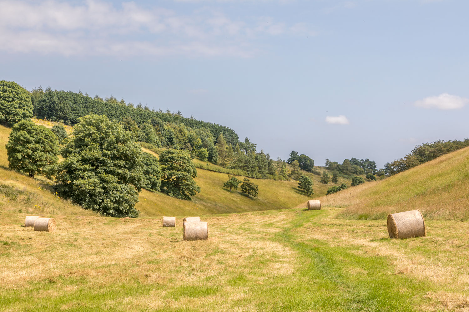
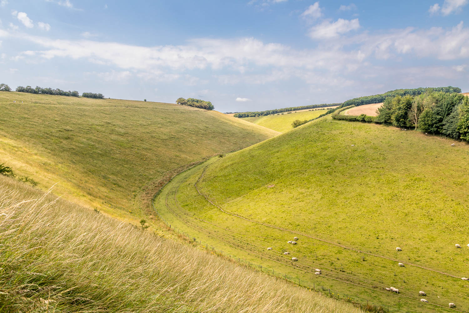
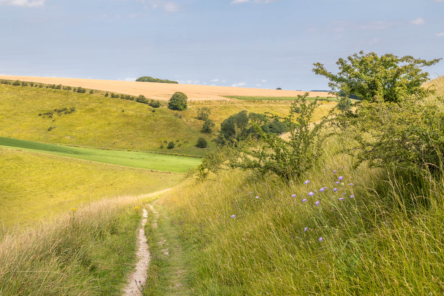
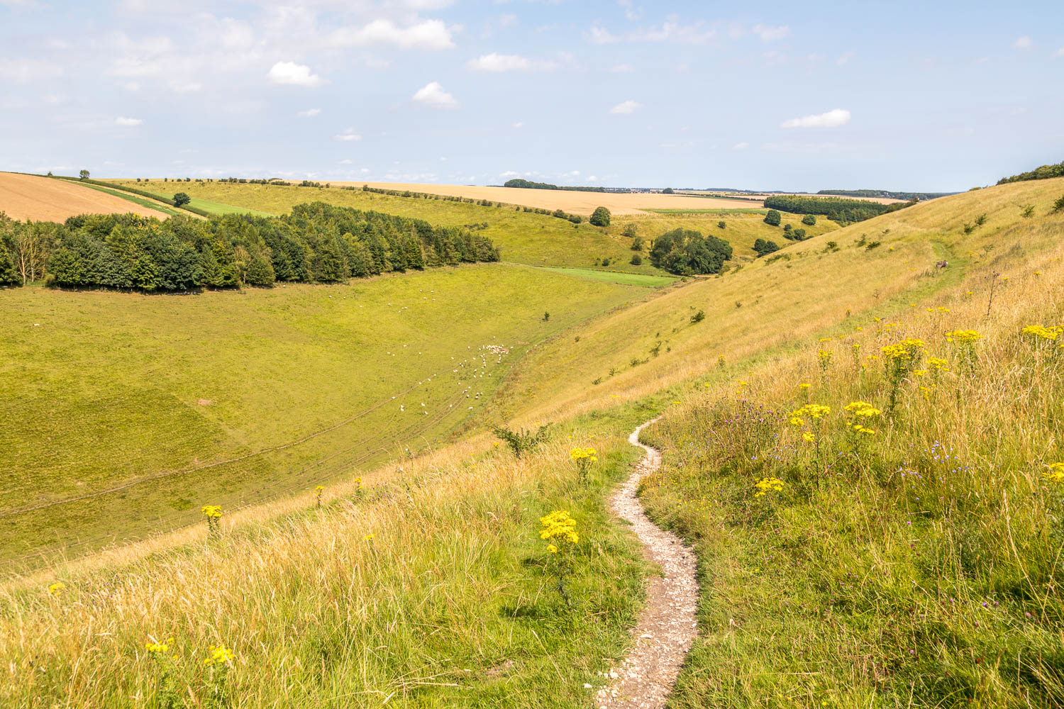
We then descended gently into Holm Dale, a classic chalk valley and perhaps the loveliest part of the walk. The sides of the valley were lined with wildflowers and we saw hundreds of marbled white butterflies along the way. At the end of Holm Dale we entered into Horse Dale and followed a slanting path to the top of the dale. The views from here were wonderful, especially those from one of the carved poetry benches which so enhance the Wolds Way
All too soon we climbed out of Horse Dale and followed an easy track back into Huggate to end a wonderful walk
For other walks here, visit my Find Walks page and enter the name in the ‘Search site’ box
Click on the icon below for the route map (subscribers to OS Maps can view detailed maps of the route, visualise it in aerial 3D, and download the GPX file. Non-subscribers will see a base map)
Scroll down – or click on any photo to enlarge it and you can then view as a slideshow

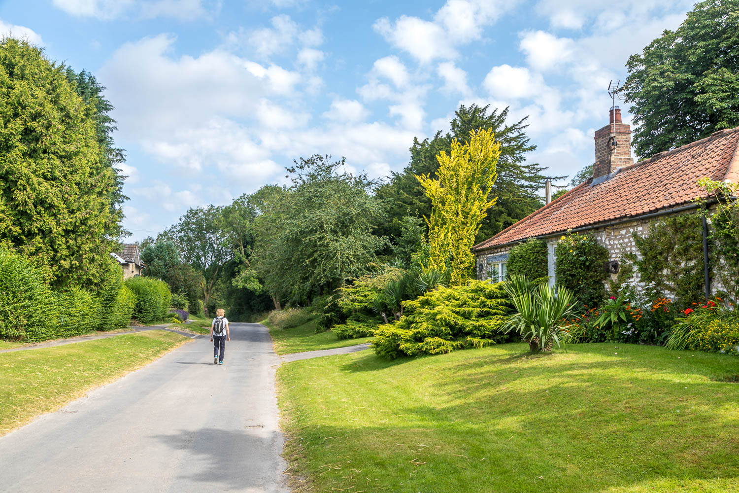
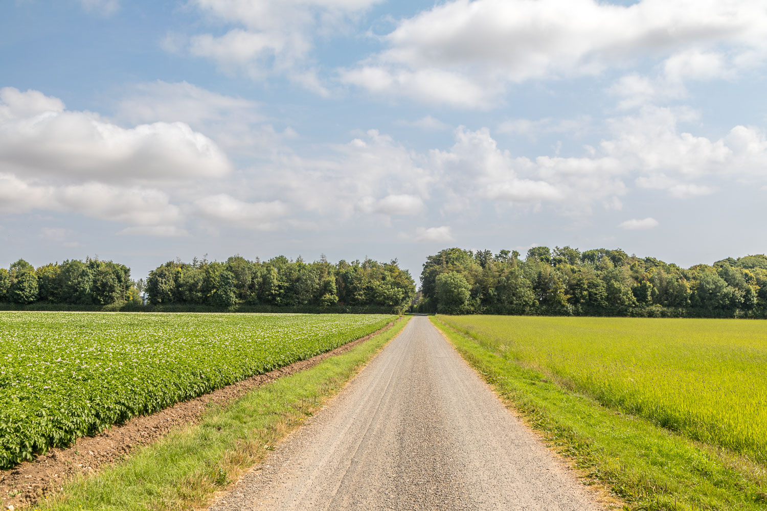
Just beyond the last house in Huggate we turn left to follow the Yorkshire Wolds Way. We'll return to the village via the lane on the right

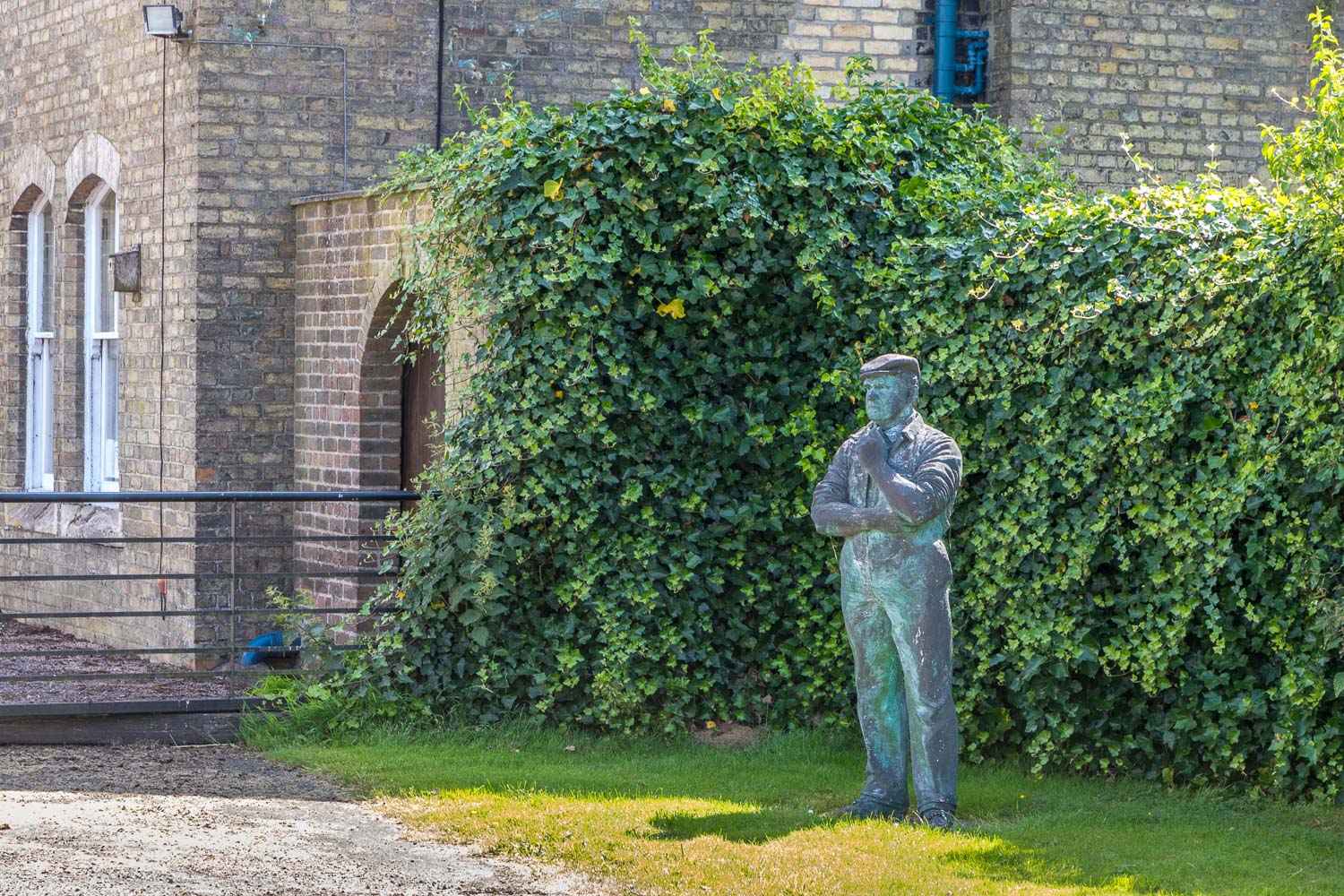
Glebe Farm on the right as we leave the lane to follow a path through a gap in the hedge on the left

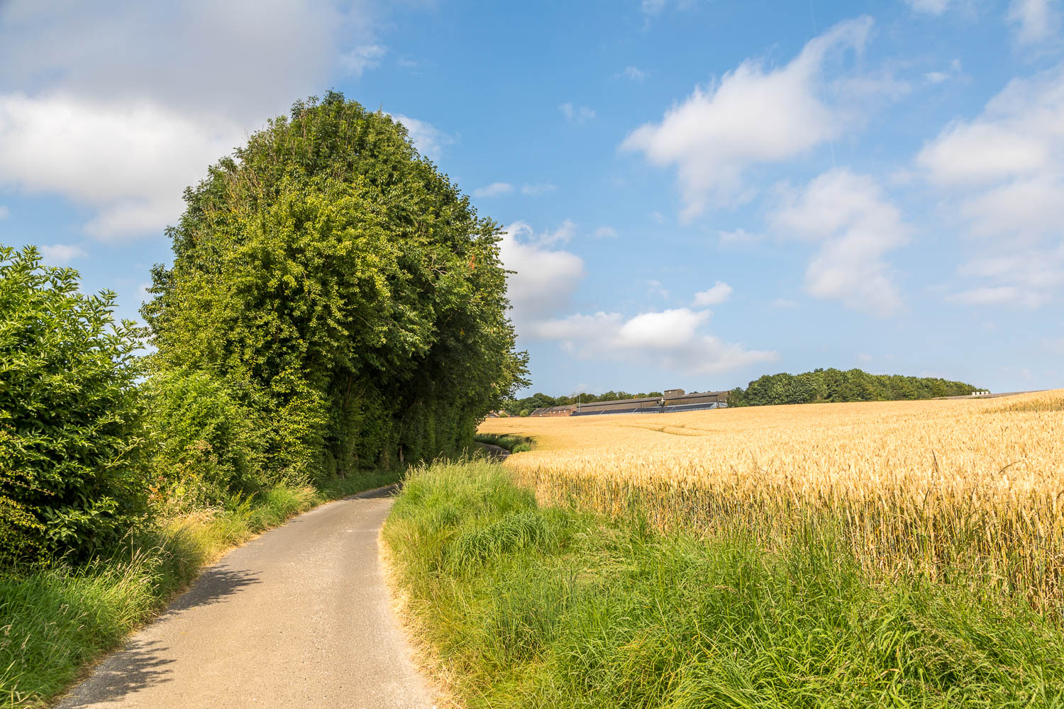
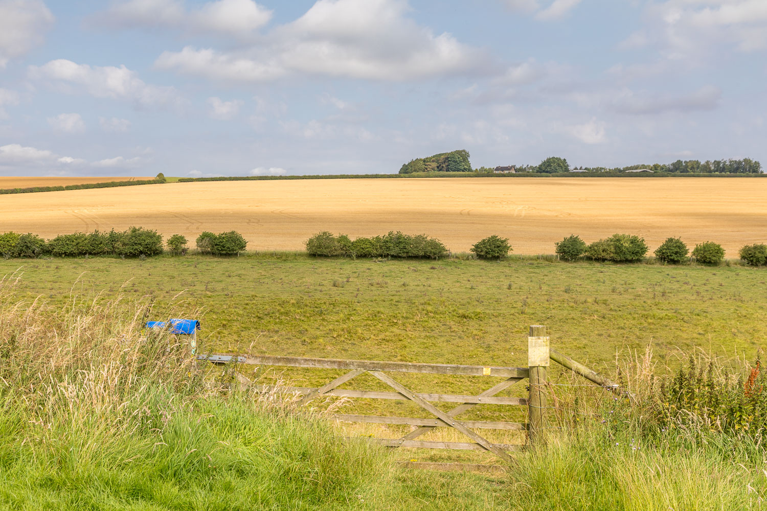
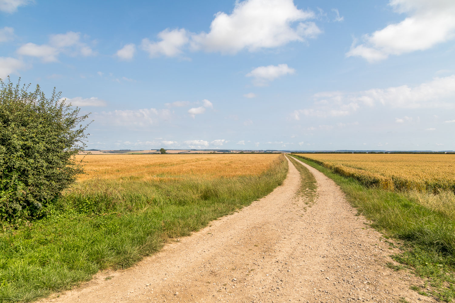
We turn right at this junction. Wold House Farm is in the distance and we'll pass through it later on
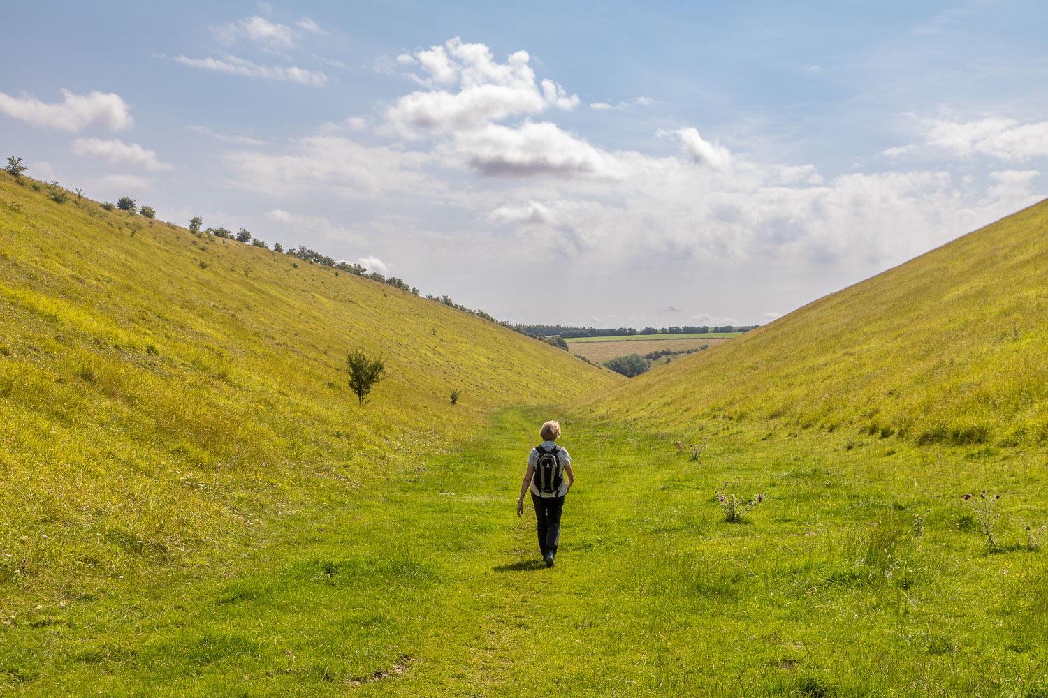
It's hard to see from the photo, but the valley sides were lined with wildflowers which were attracting hundreds of butterflies...

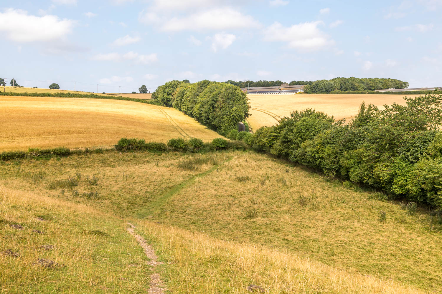
We reach the end of Holm Dale at a point where three valleys come together, Harper Dale on the left and Horse Dale on the right

Instead of walking along the valley floor we continue along the Wolds Way and follow a path which climbs to the top edge of Horse Dale


