Route: Hartsop Dodd and Caudale Moor
Area: Far Eastern Lake District
Date of walk: 31st July 2014
Walkers: Andrew
Distance: 6.8 miles
Weather: Bright at start and finish, overcast with light drizzle on tops
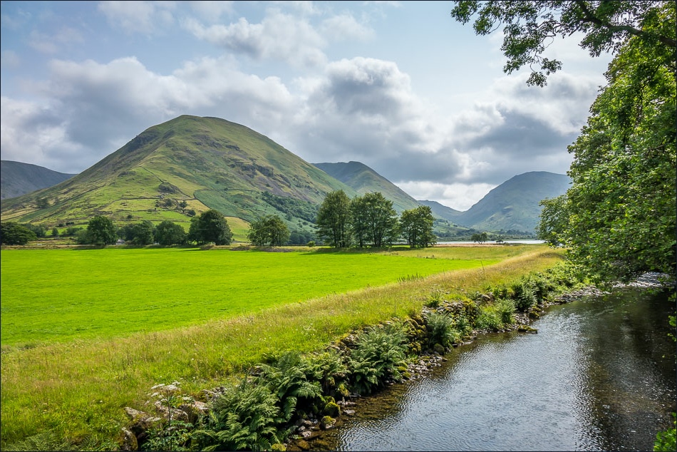
The mountain weather forecast was rather gloomy but suggested that the eastern fells would be the best bet, so I headed east for the second day in succession and parked at Cow Bridge, a good springboard for many of the fells in this area
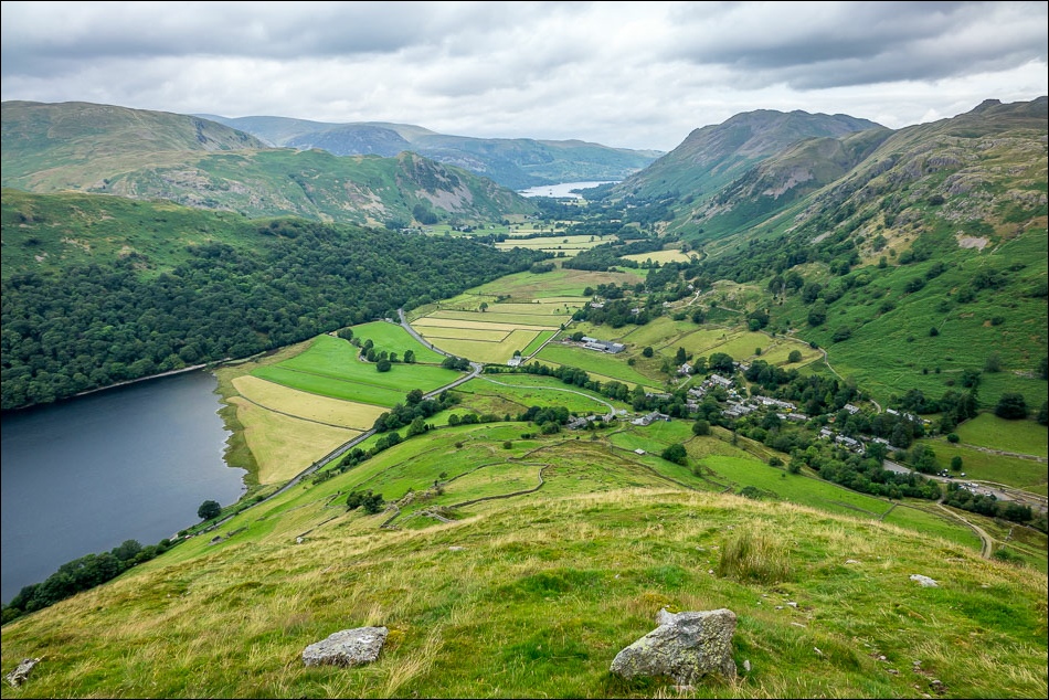
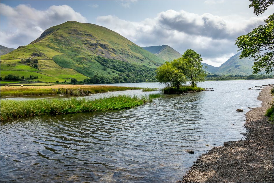
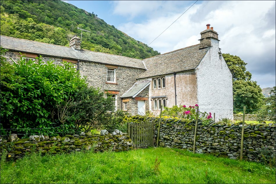
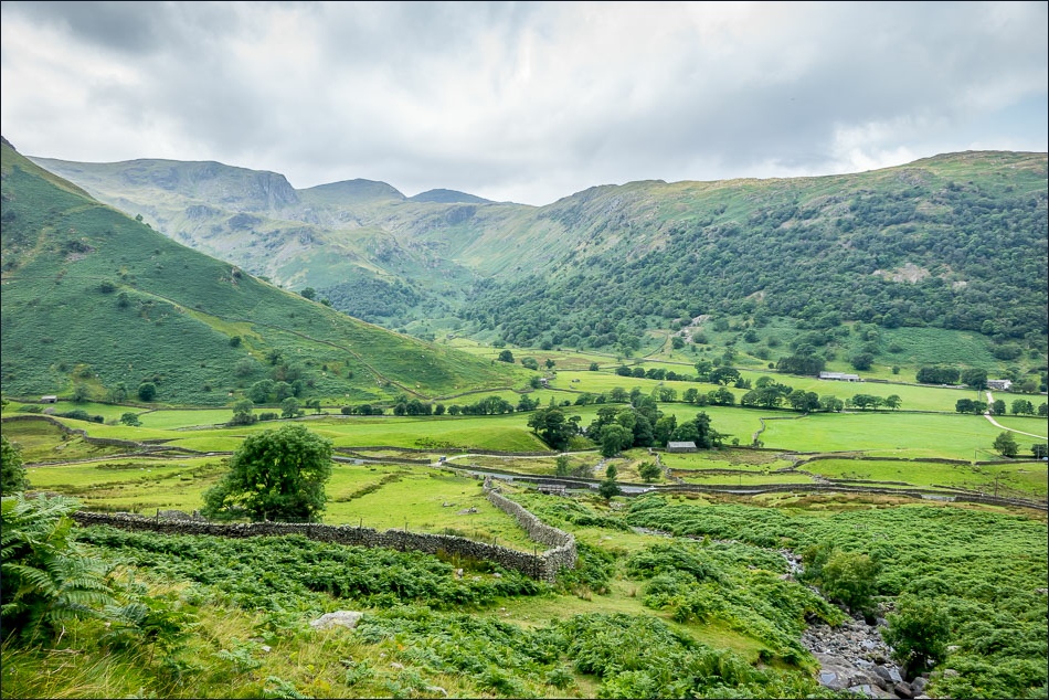
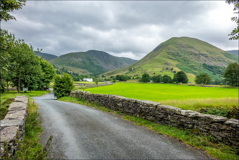
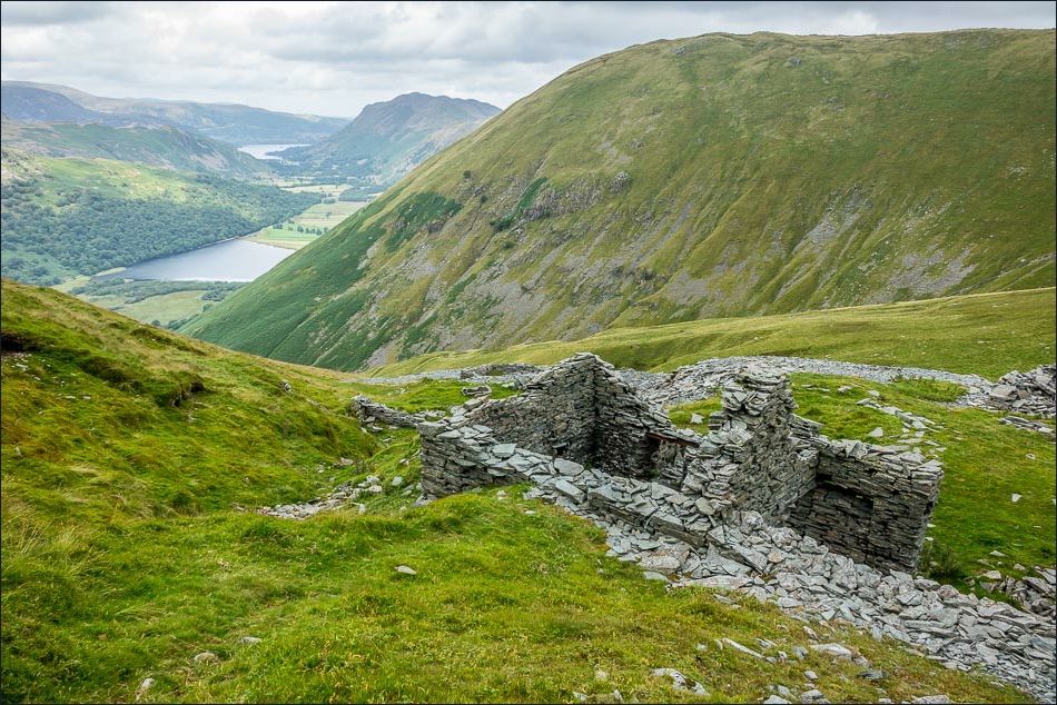
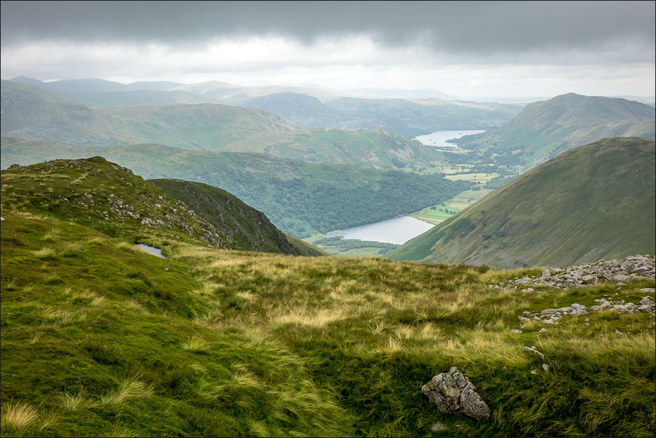
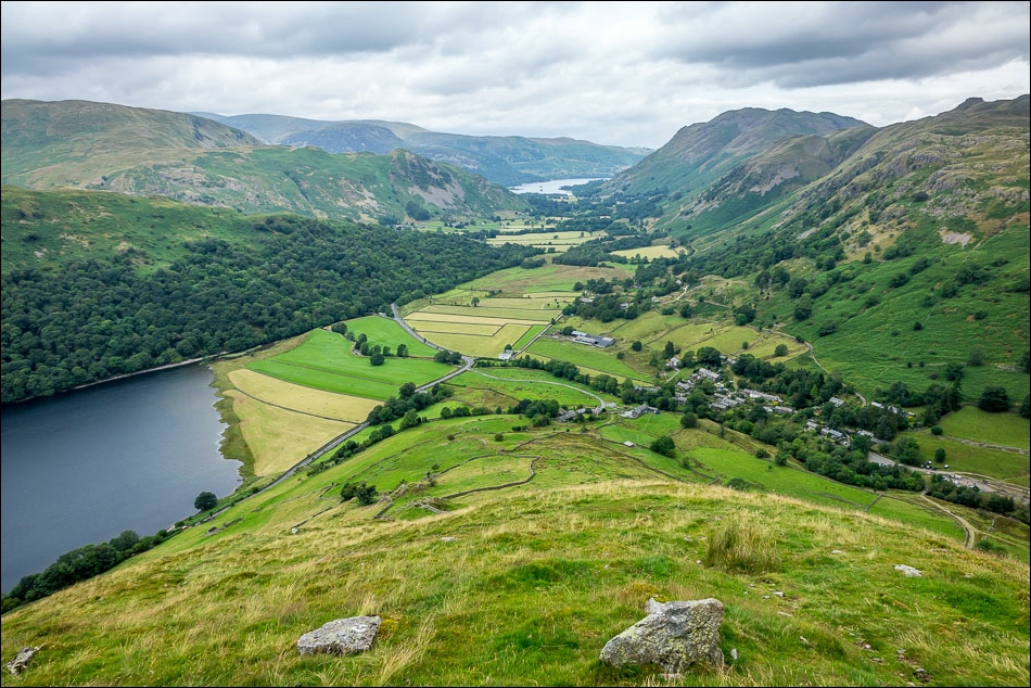
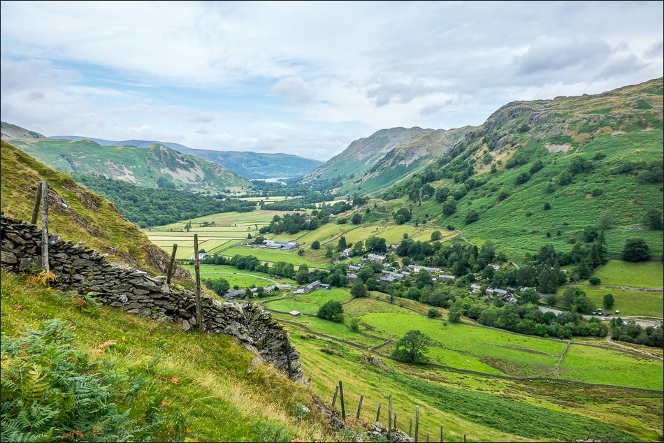
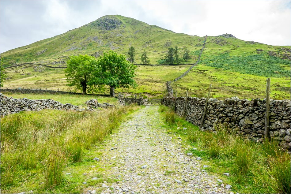
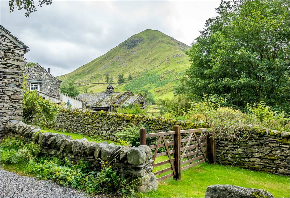
I walked through the attractive and very well preserved village of Hartsop and started the stiff climb up the flanks of Hartsop Dodd. There were lovely retrospective views of Brothers Water and Ullswater as I stopped for much needed rests from time to time
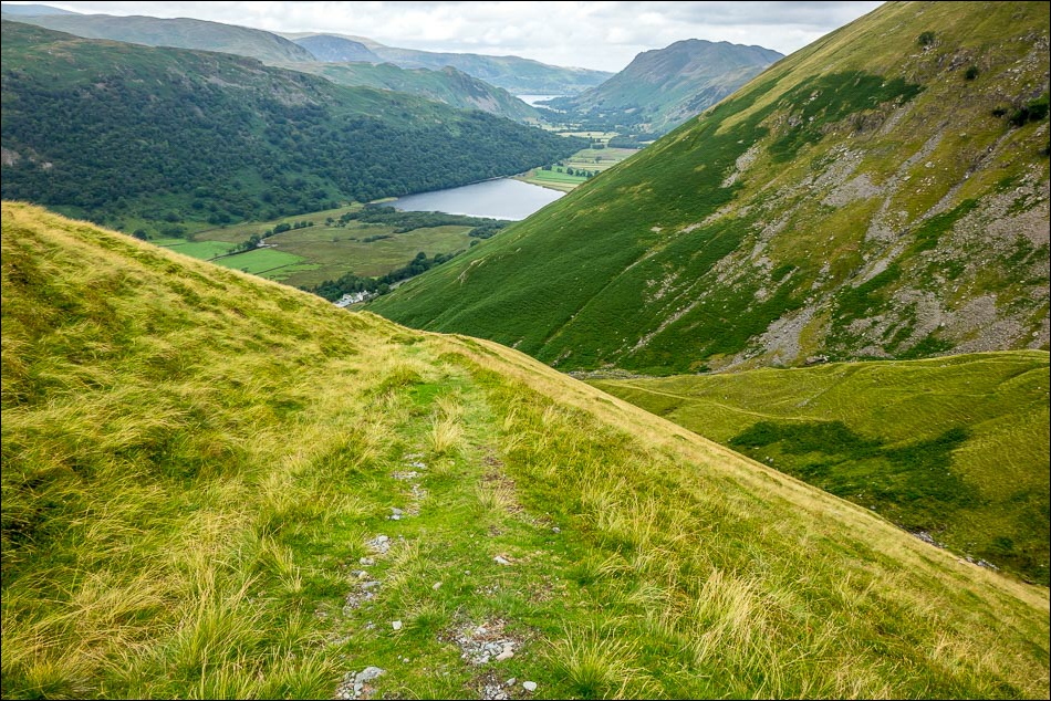
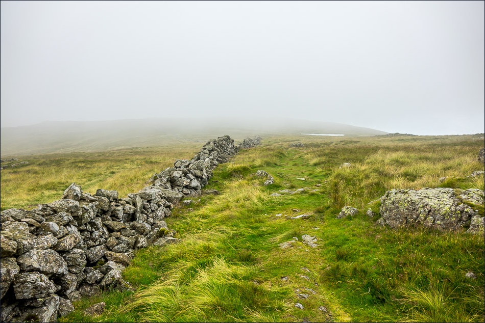
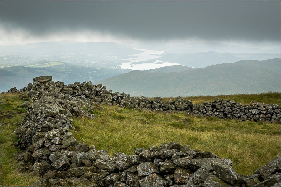
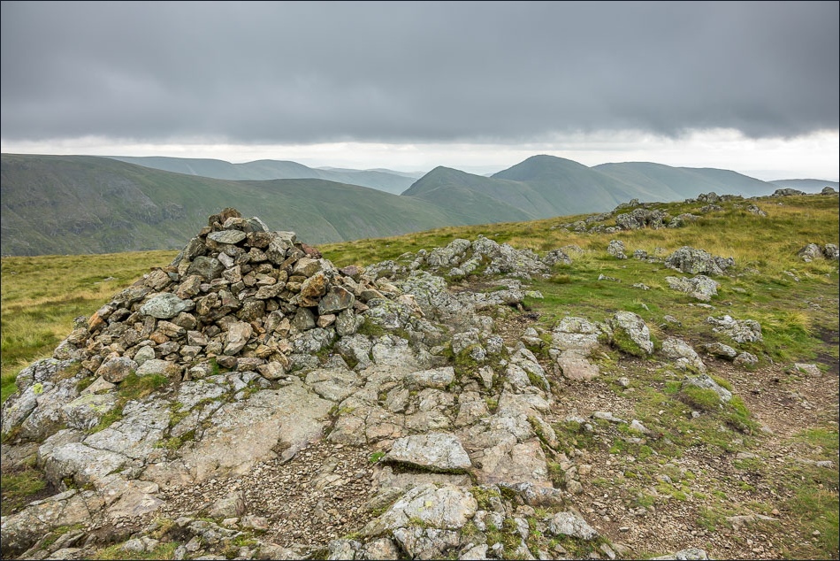
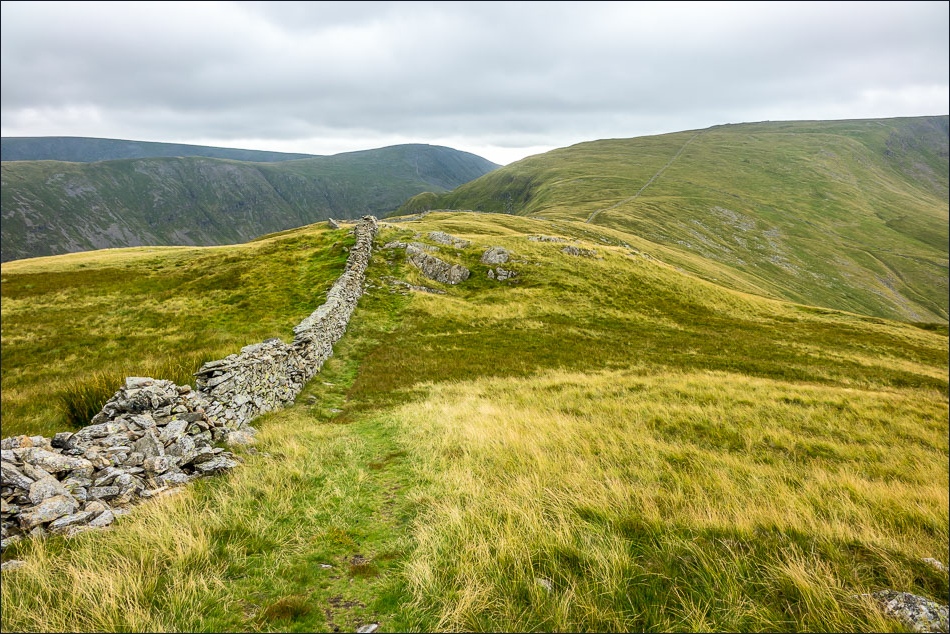
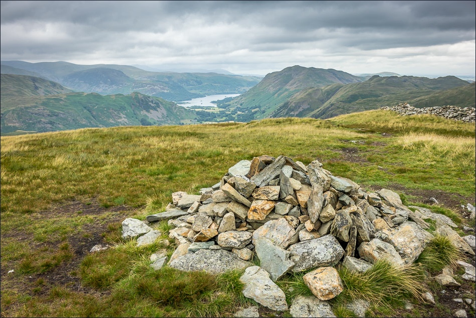
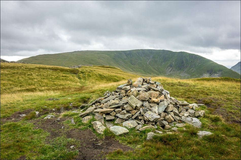
The way to Caudale Moor was a simple affair, I just followed the dry stone wall gently uphill taking a short diversion to visit the highest point known as Stony Cove Pike. After walking above Caudale Head, I descended the north west ridge, with wonderful views of Patterdale ahead of me all the way
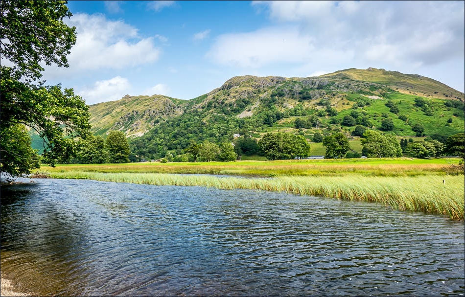
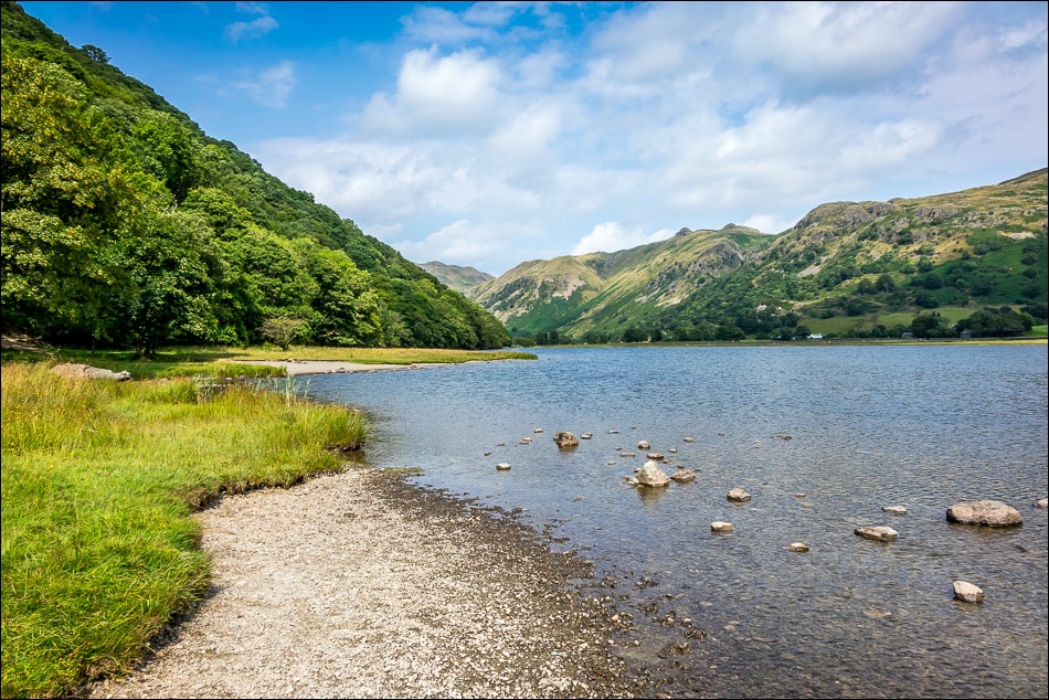
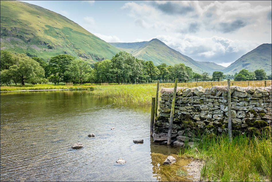
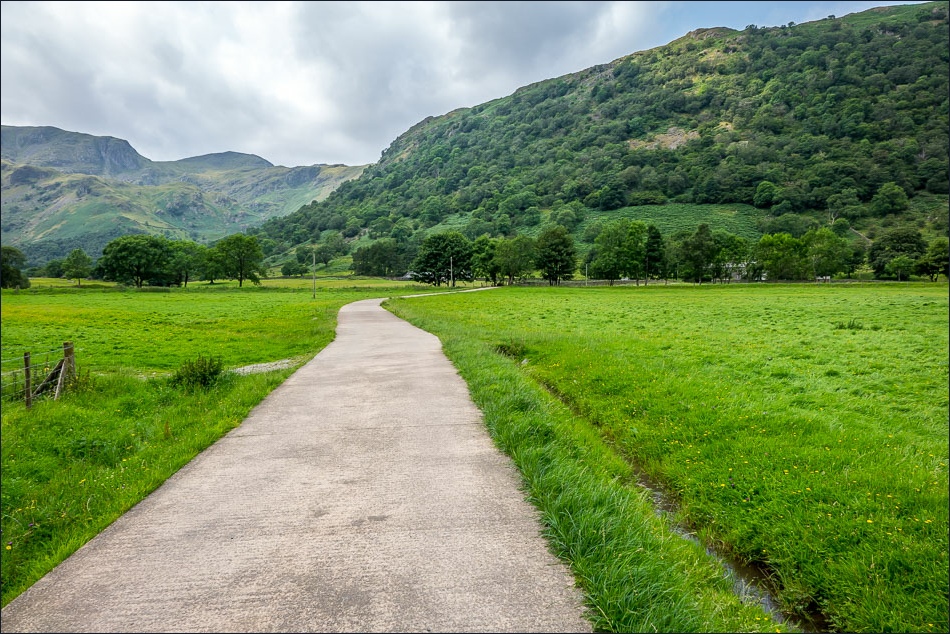
Having made it back down, I crossed over the valley and completed the circuit by walking along the shore of Brothers Water – a great end to a great walk
For other walks here, visit my Find Walks page and enter the name in the ‘Search site’ box
Click on the icon below for the route map (subscribers to OS Maps can view detailed maps of the route, visualise it in aerial 3D, and download the GPX file. Non-subscribers will see a base map)
Scroll down – or click on any photo to enlarge it and you can then view as a slideshow
