Route: Hartsop above How and Hart Crag
Area: Eastern Lake District
Date of walk: 6th August 2020
Walkers: Andrew, Gilly and James
Distance: 6.8 miles
Ascent: 2,300 feet
Weather: Sunny intervals, but gradually clouding over
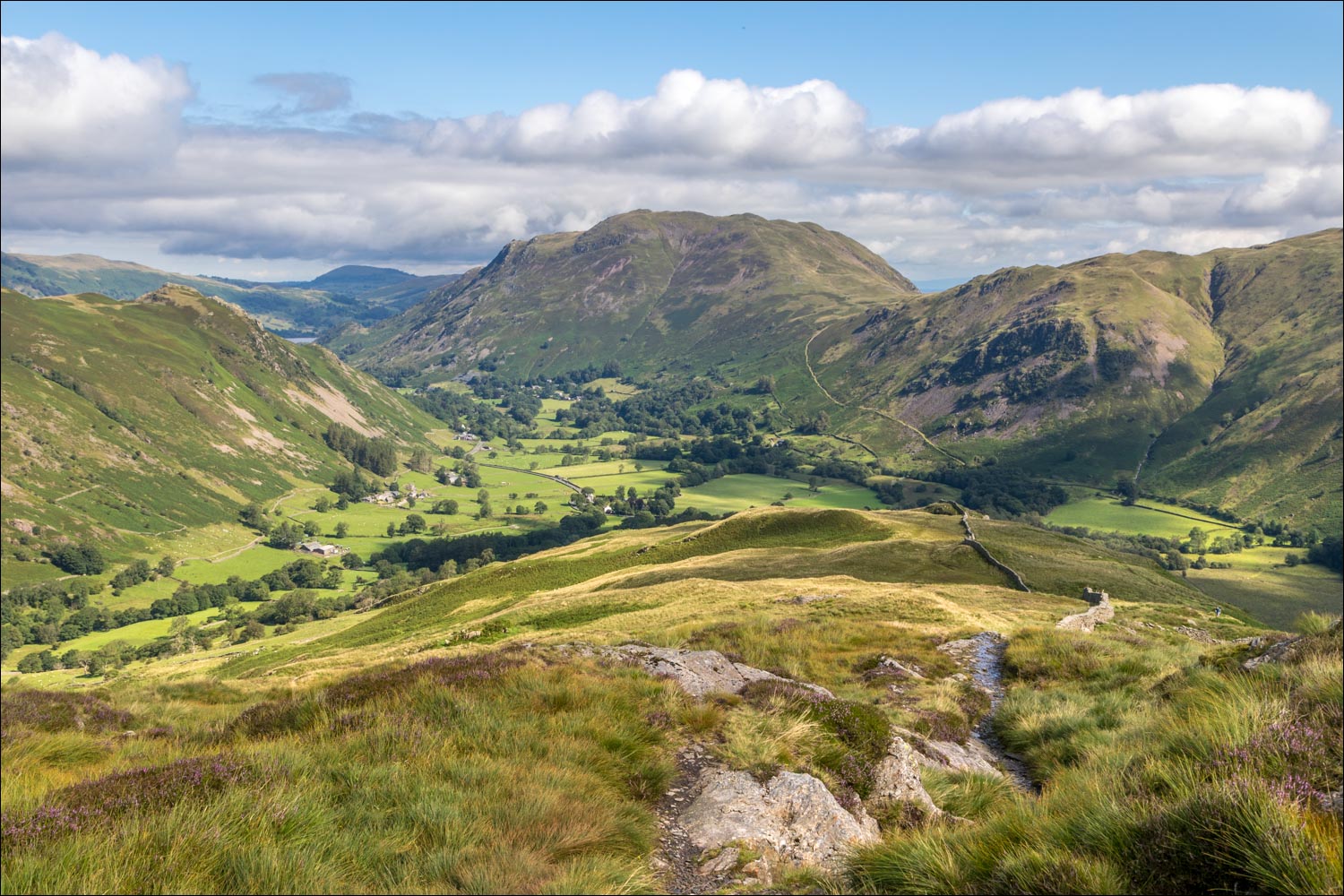
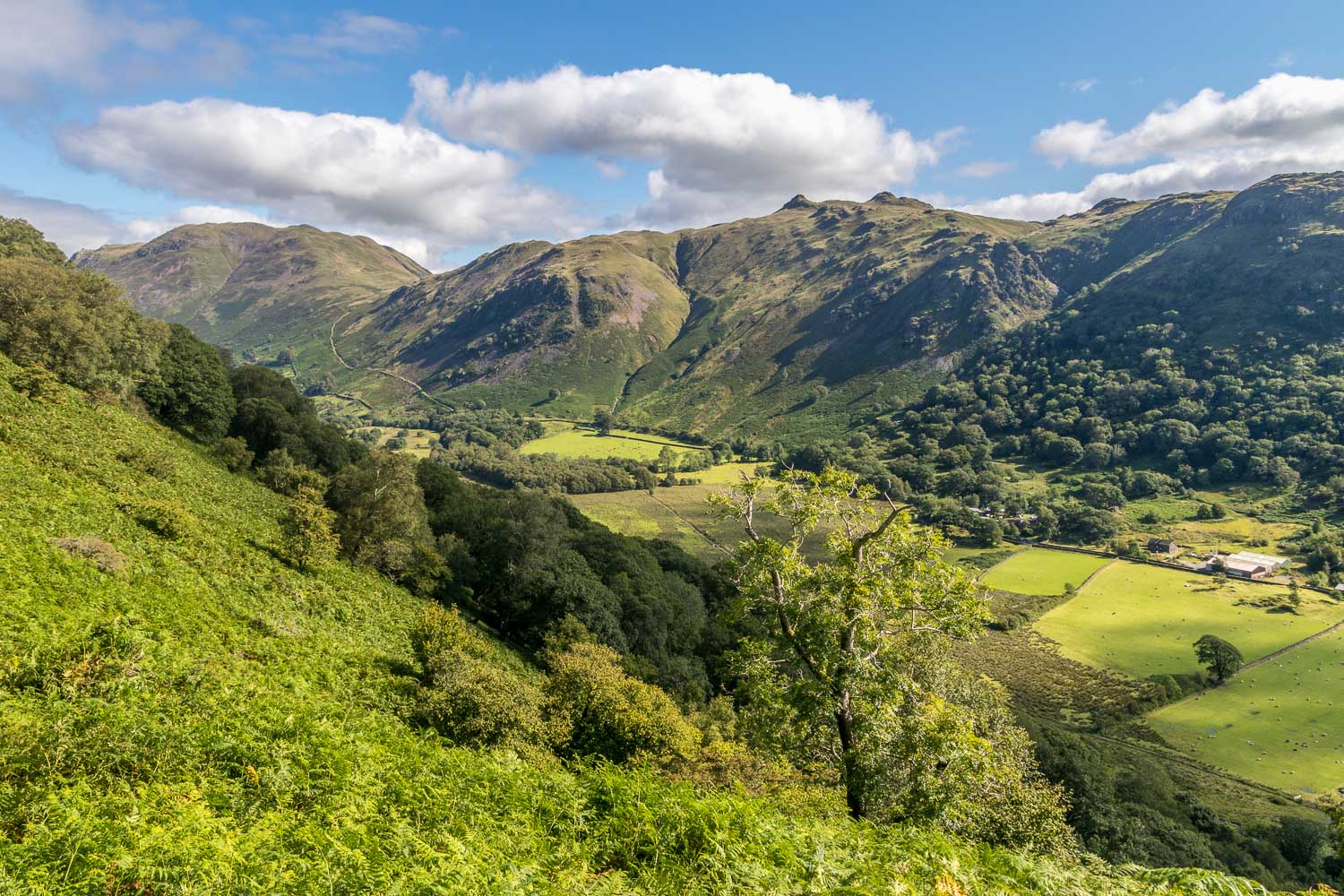
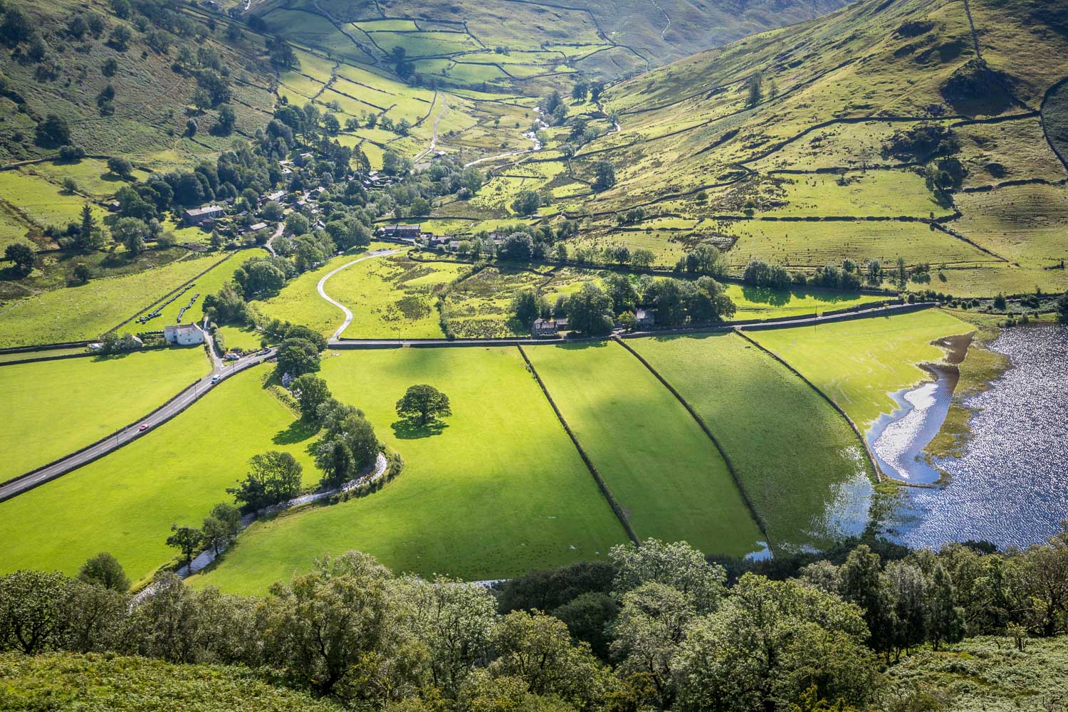
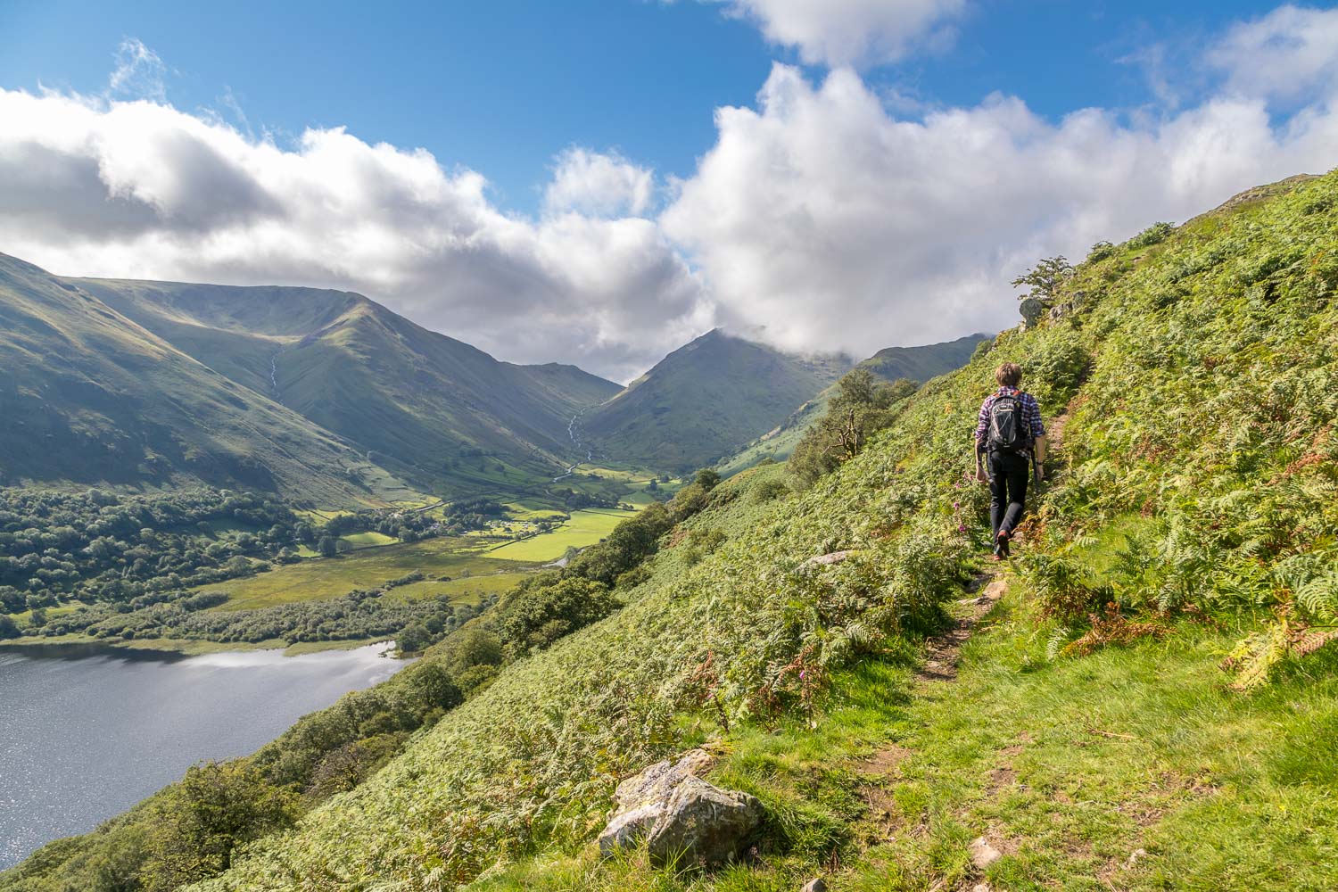
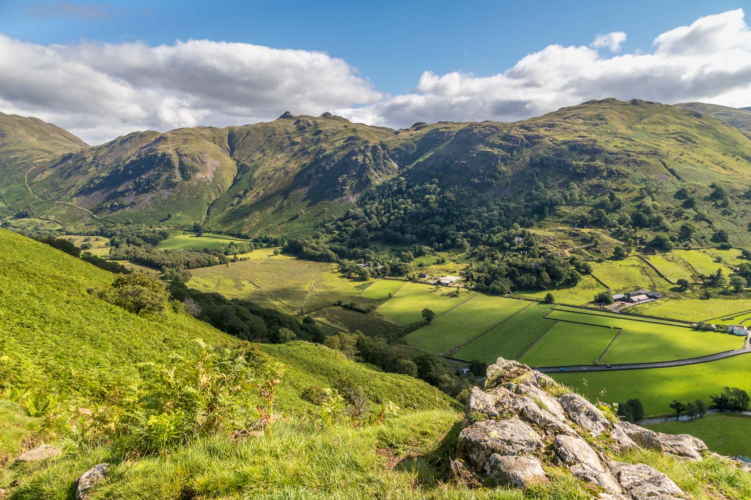
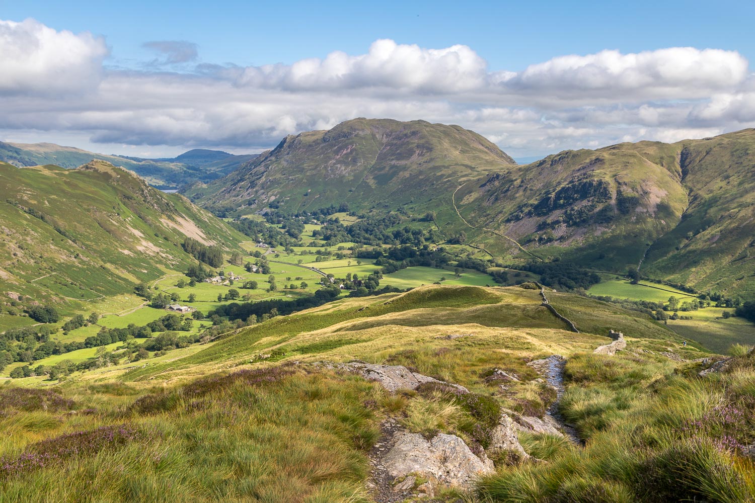
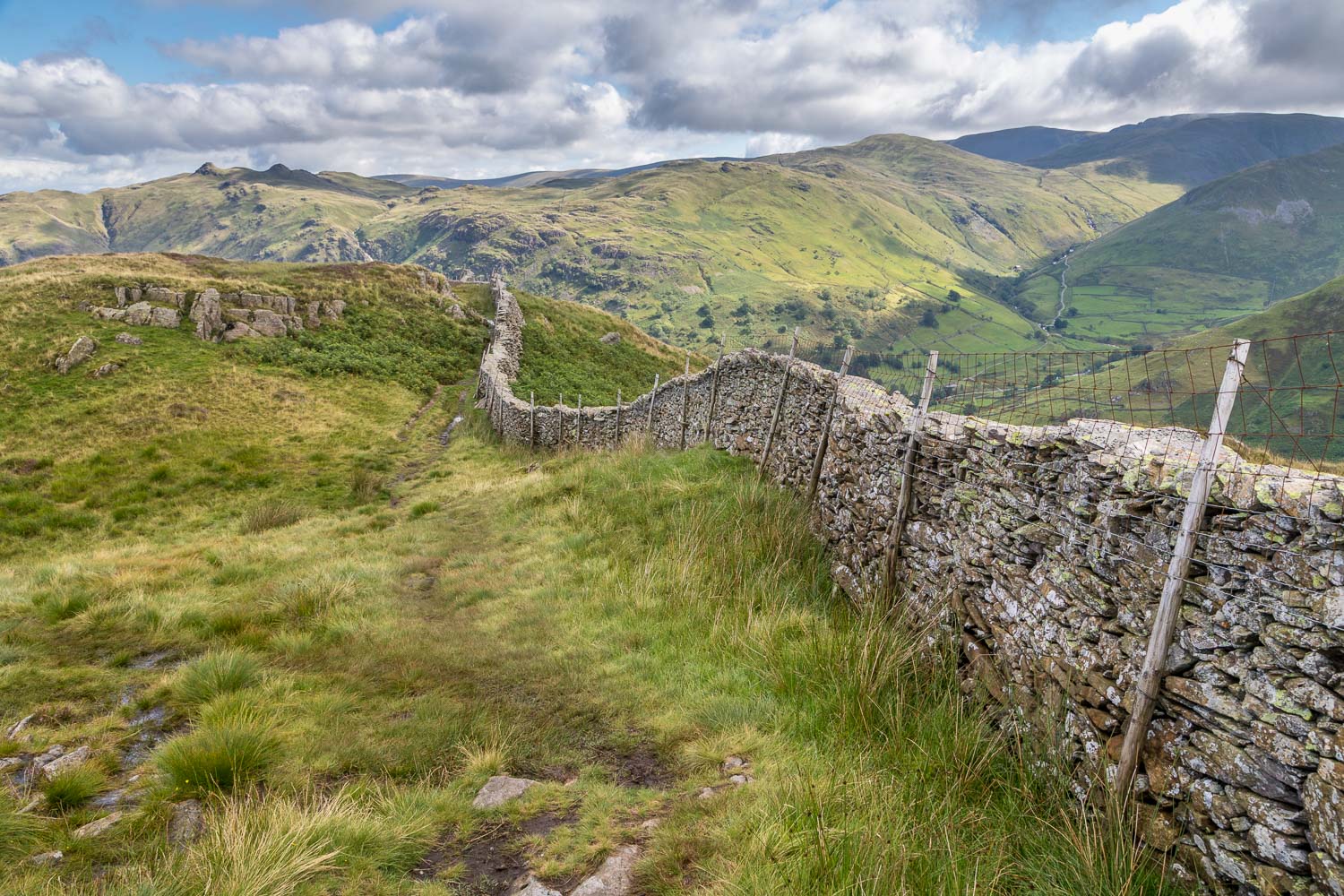
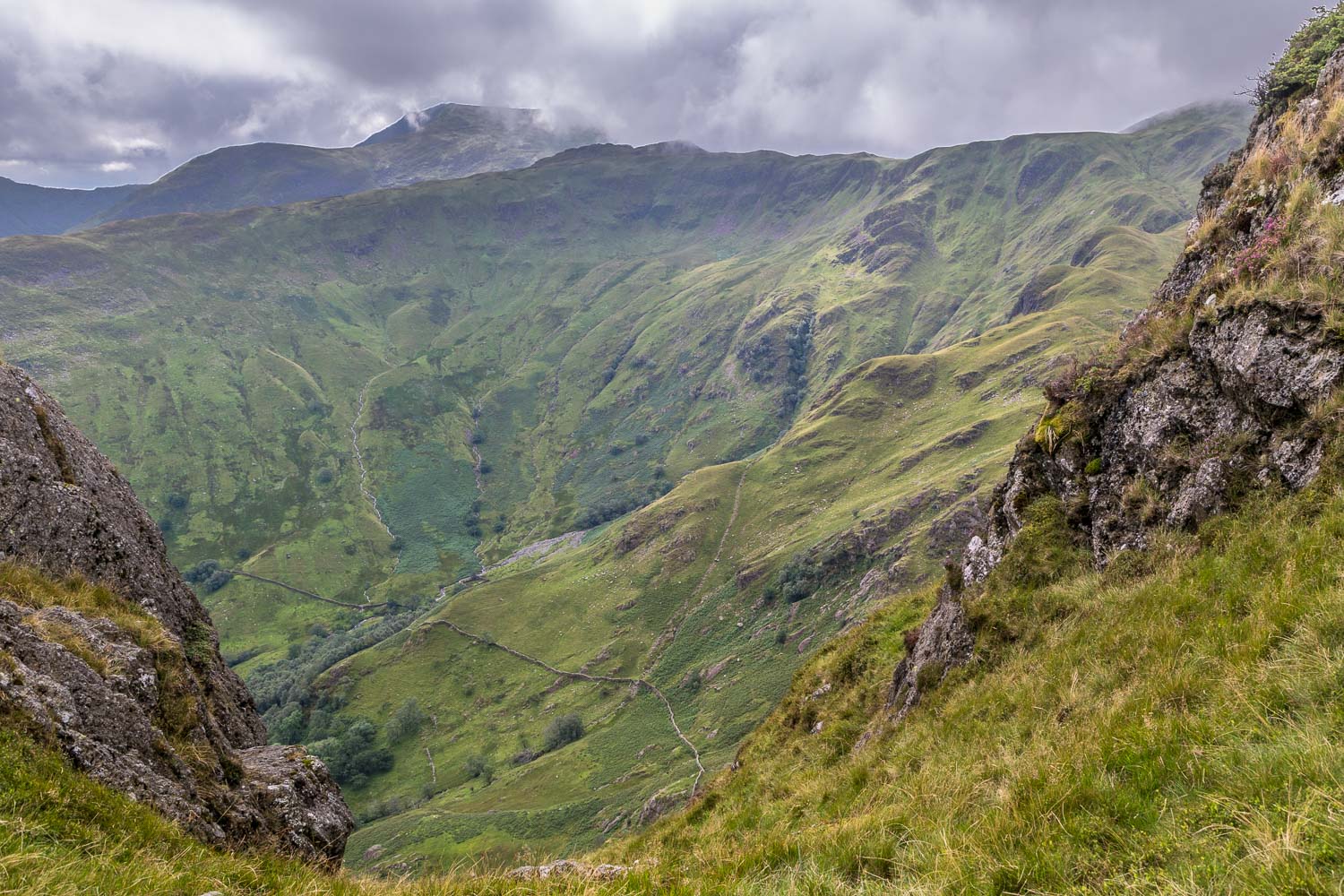
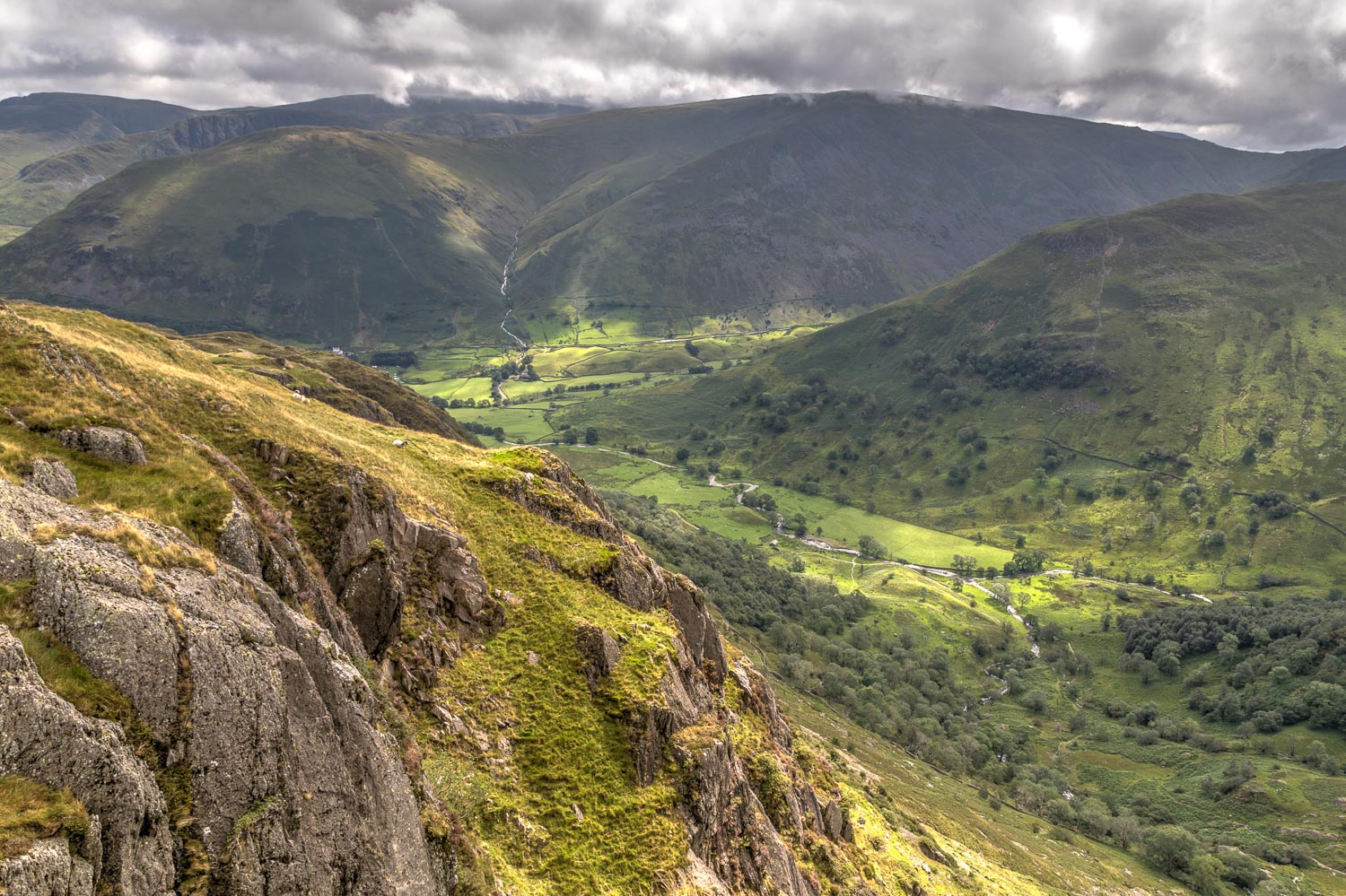
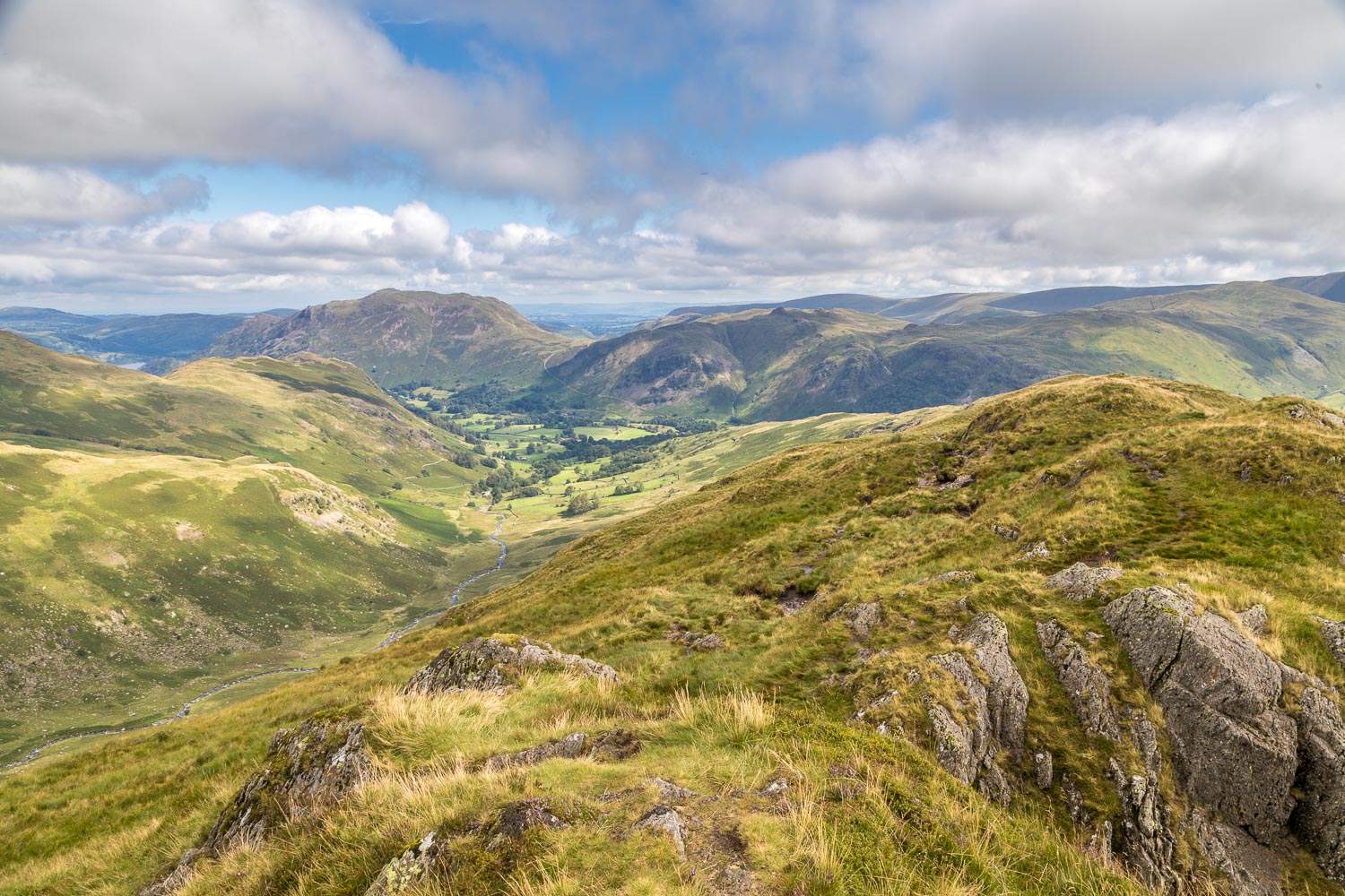
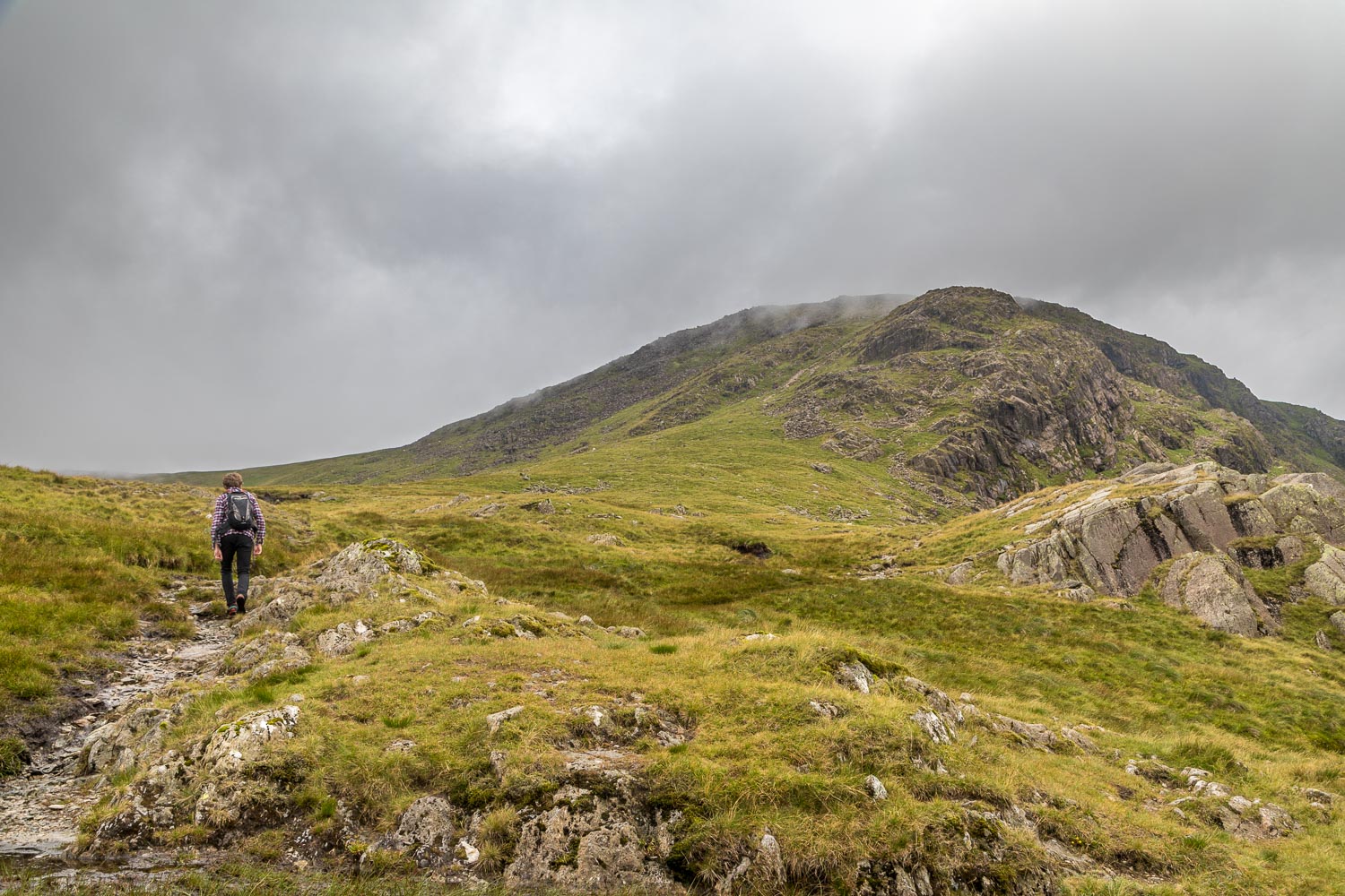
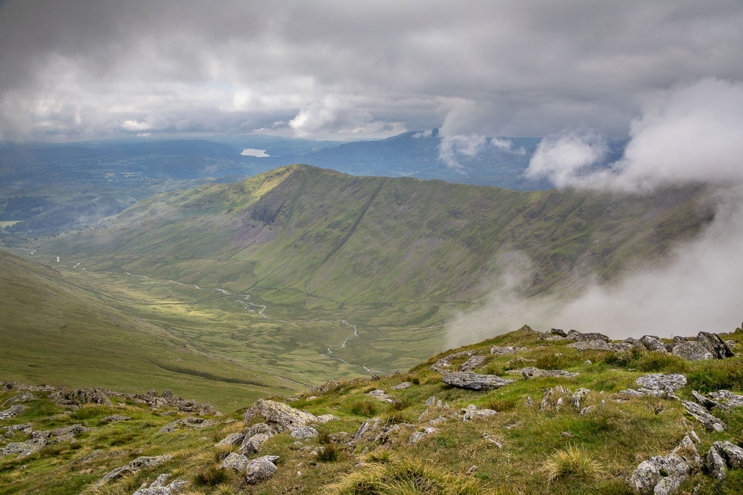
We parked at Cow Bridge beyond Patterdale, and from here the climb started immediately, with a steep ascent through Low Wood. This eventually brought us onto the ridge leading to Hartsop above How, and once above the tree line there were some lovely views back over Patterdale and Hartsop. The route to the summit of Hartsop above How is never in doubt, it’s just a question of following the line of the ridge over Bleaberry Knott, Gale Crag and Hoggill Brow. After admiring the views from the top we carried on along the ridge to climb up to Hart Crag
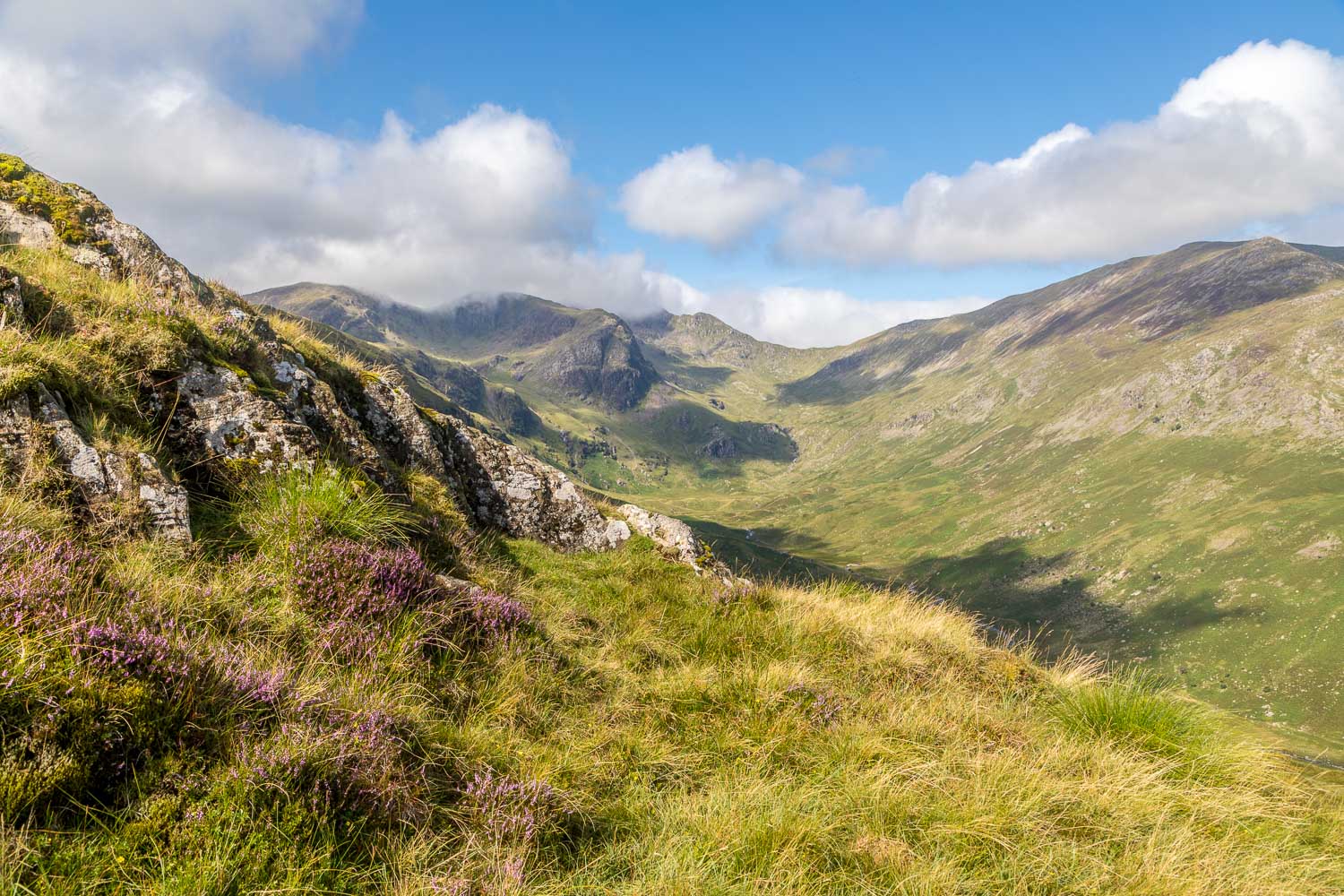
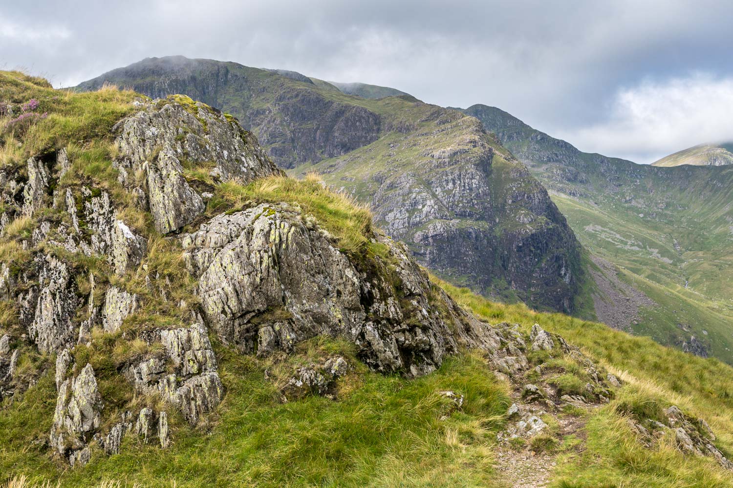
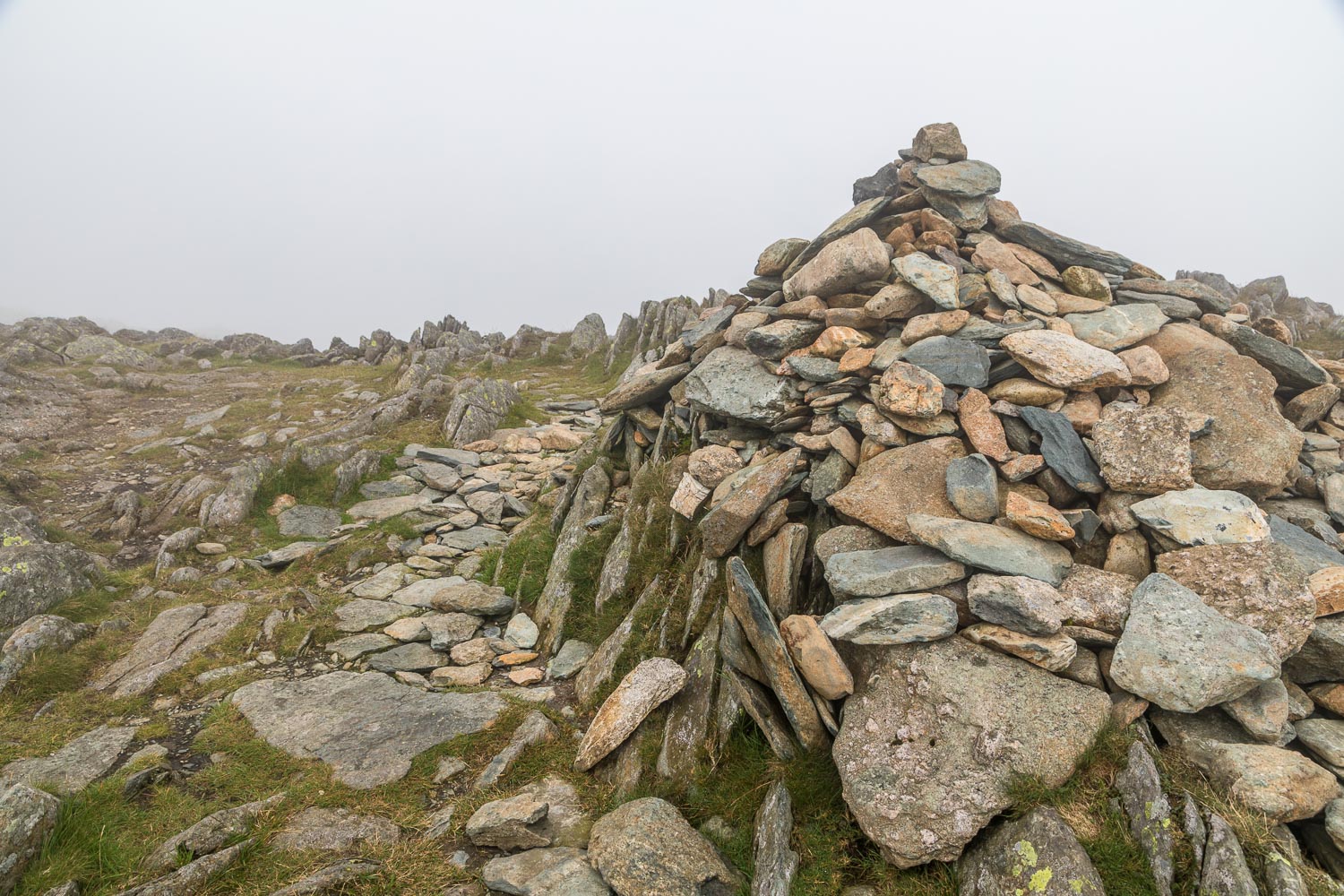
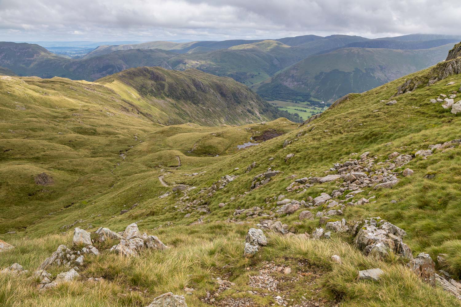
The path was steep and loose below the summit, and as we gained height the clouds came down and visibility was poor – a real shame. There was no point lingering at the summit of Hart Crag as the views were non-existent, and so without ado we joined a path which is part of the popular Fairfield Horseshoe route. We followed this for a short distance, and then had to make a decision. The original plan had been to include three more fells in the round, namely Dove Crag, Little Hart Crag and High Hartsop Dodd. However the visibility was poor and so, midway between Hart Crag and Dove Crag, we decided to descend back into the valley (to see an earlier walk covering the full round, click here)
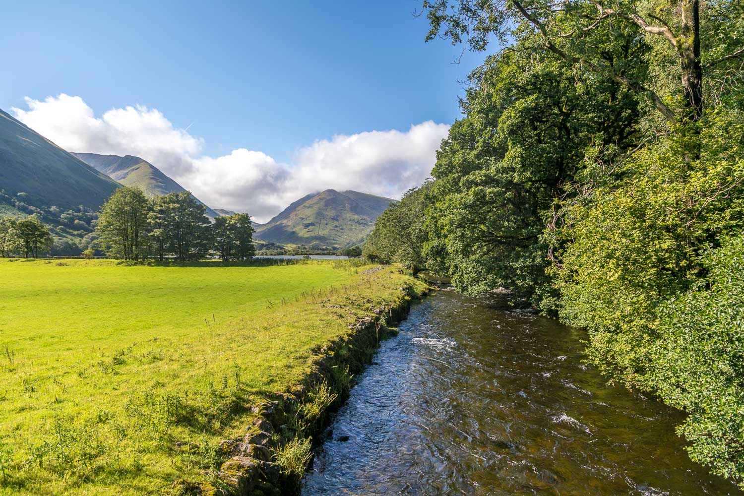
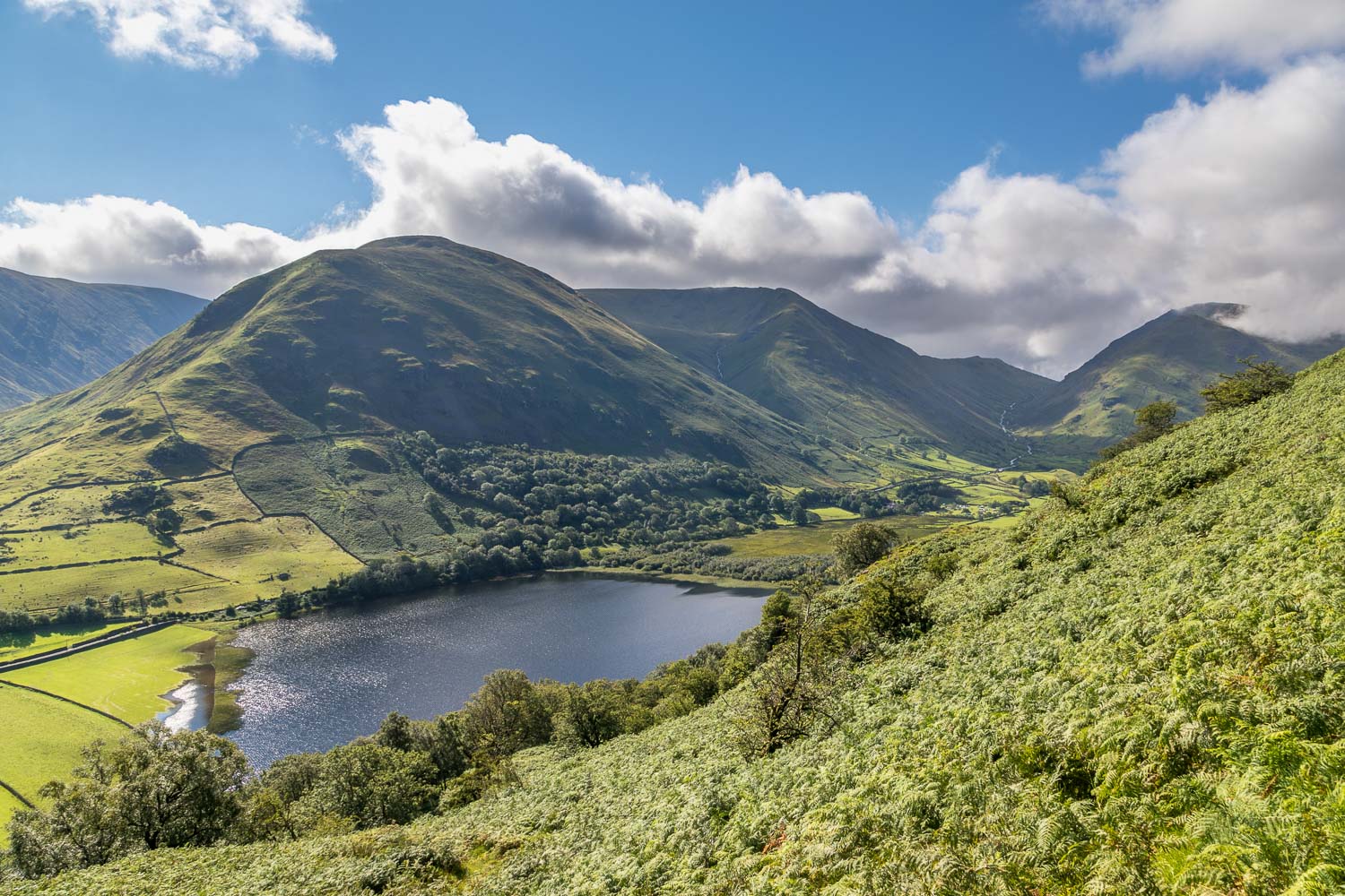
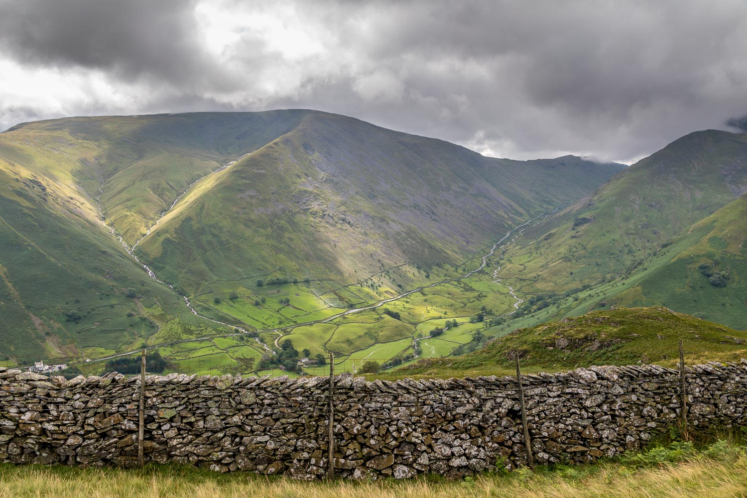
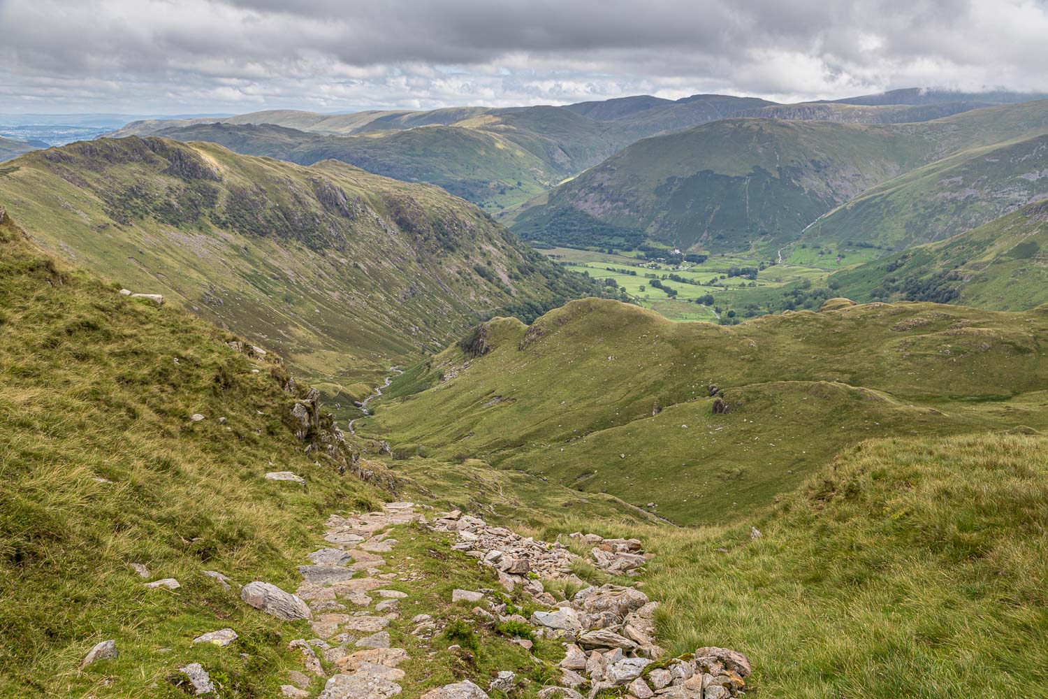
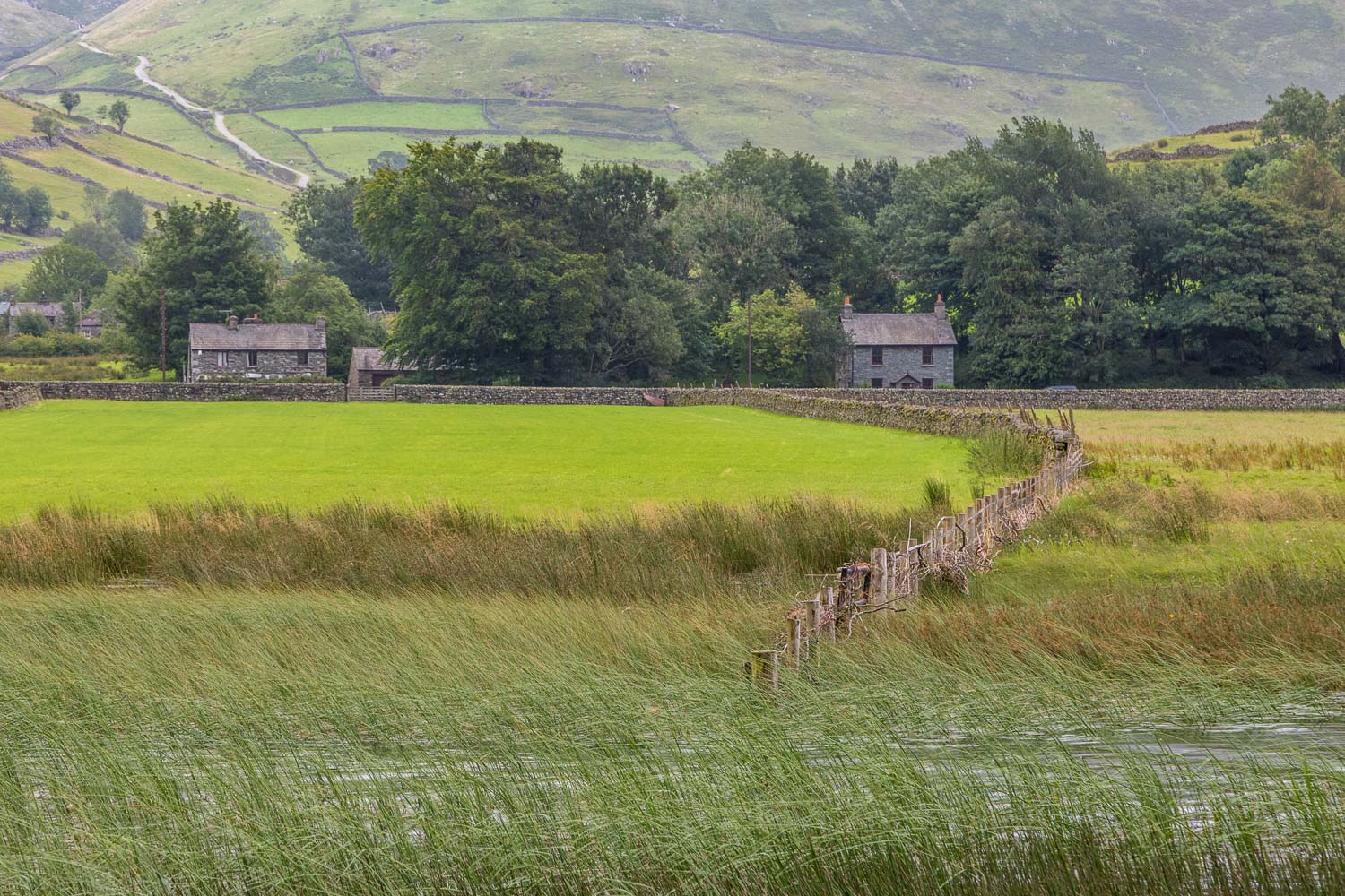
The descent proved to be long and very steep at times, though much improved by rock steps. It was a relief to finally arrive back at valley level near Hartsop Hall, one of the oldest properties in the Lake District dating back to the 16th century. From here it was an easy stroll back to the start beside the shore of Brothers Water
For other walks here, visit my Find Walks page and enter the name in the ‘Search site’ box
Click on the icon below for the route map (subscribers to OS Maps can view detailed maps of the route, visualise it in aerial 3D, and download the GPX file. Non-subscribers will see a base map)
Scroll down – or click on any photo to enlarge it and you can then view as a slideshow
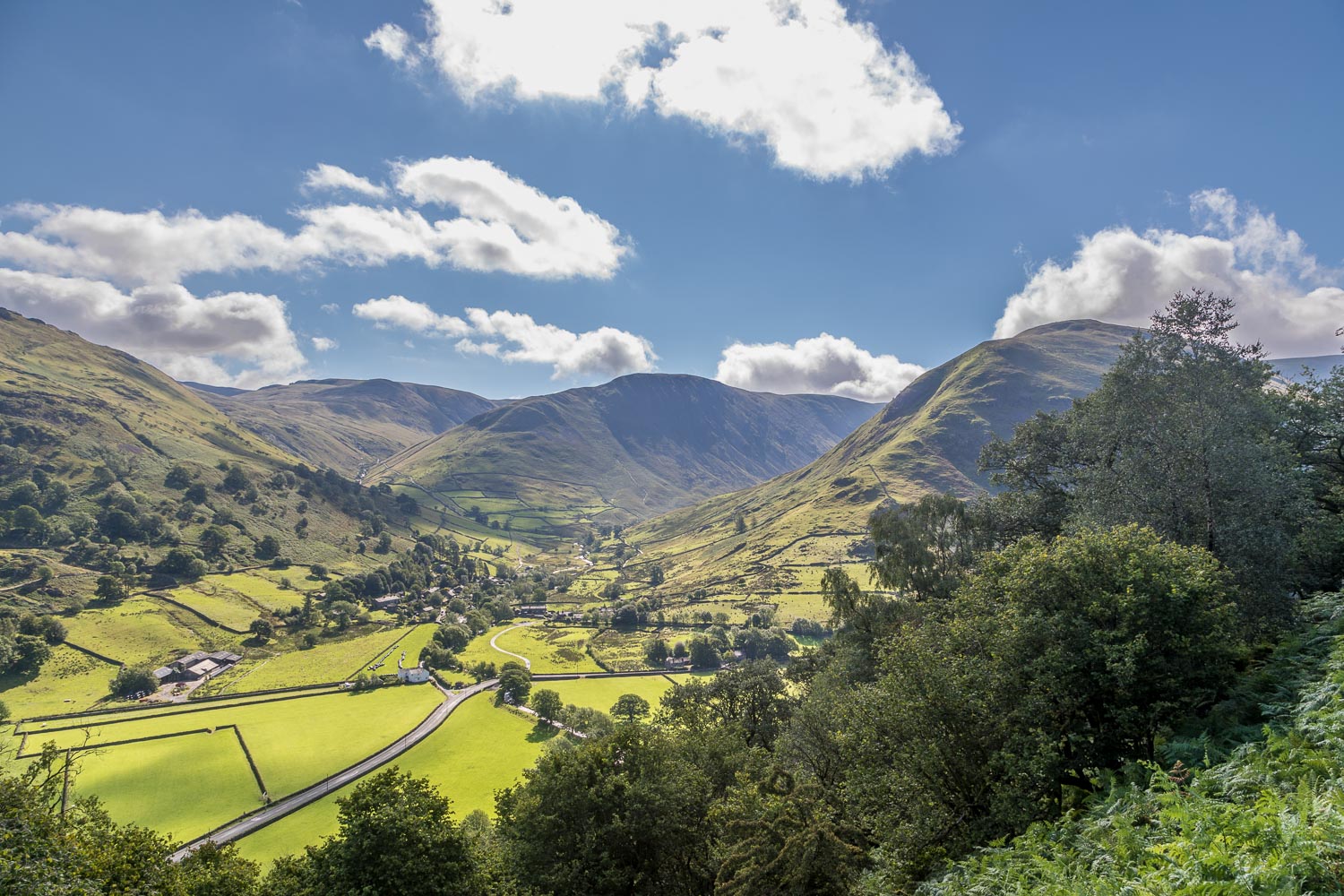
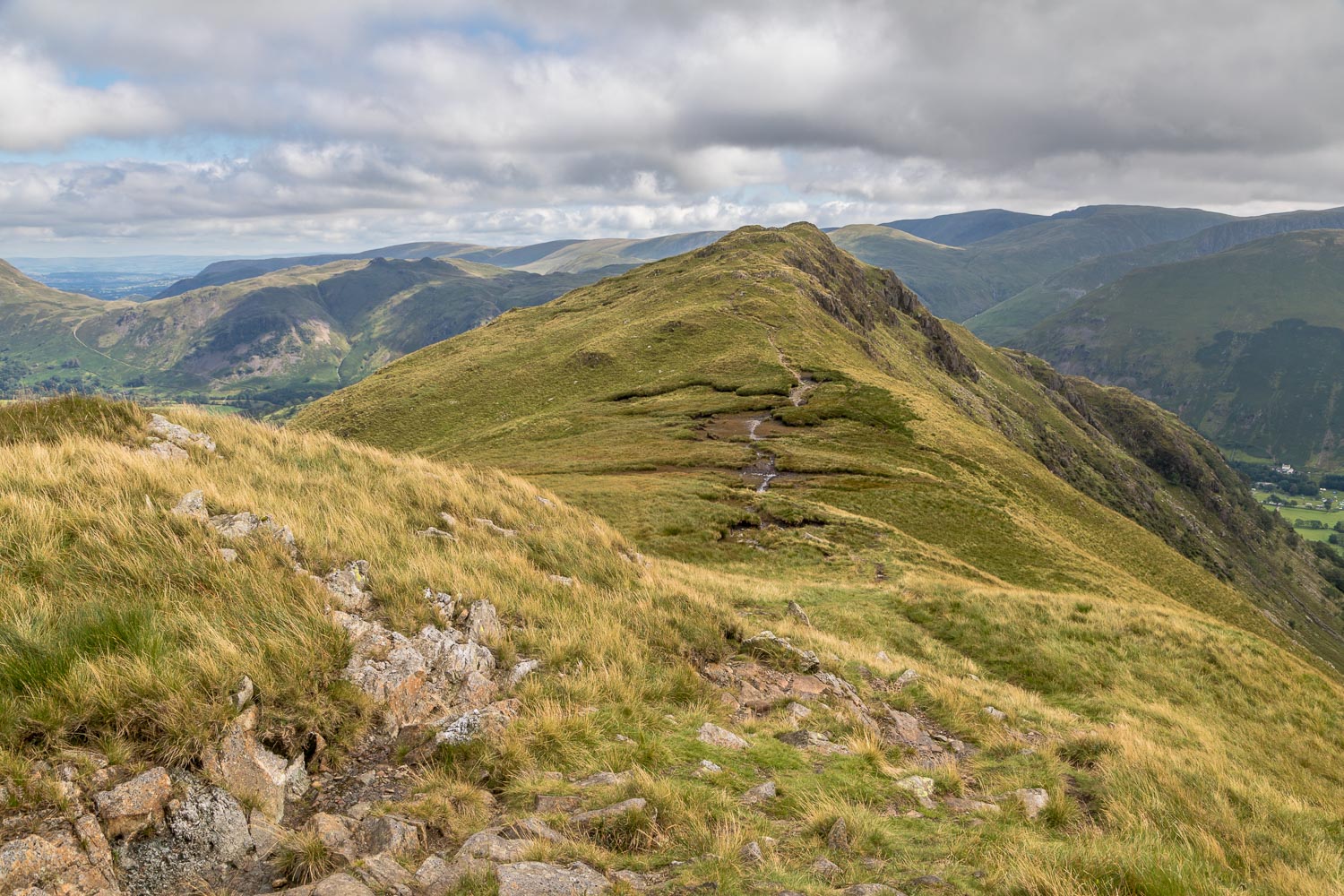
The climb starts immediately, and after a few minutes we gain the ridge and the views open up - this is looking over Hartsop
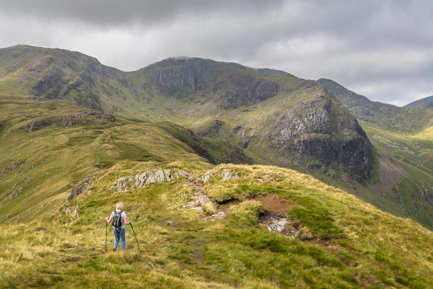
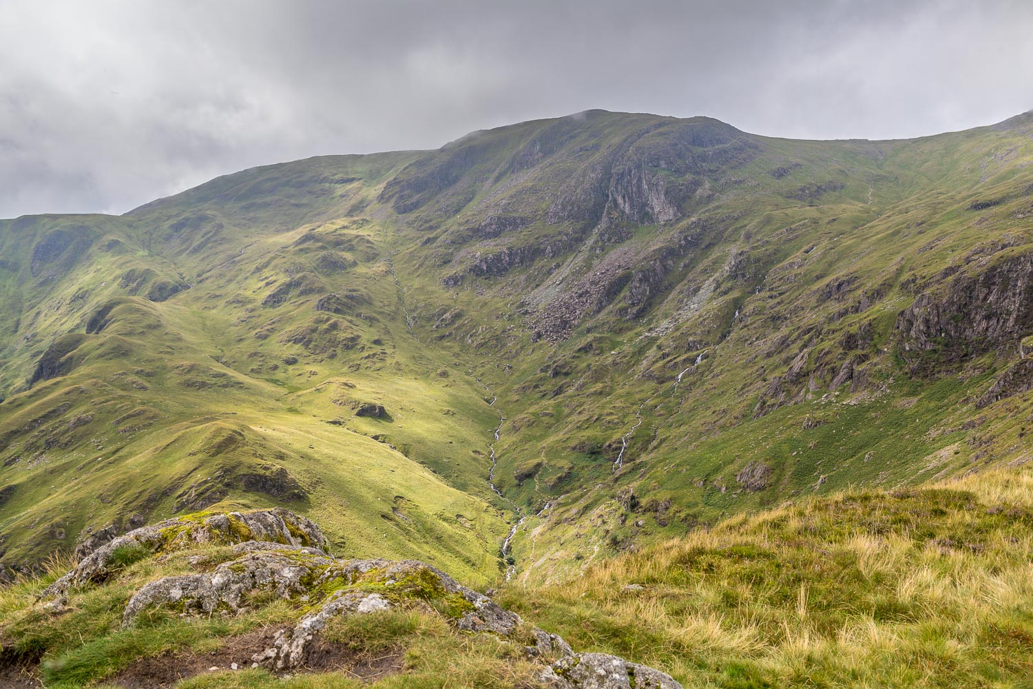
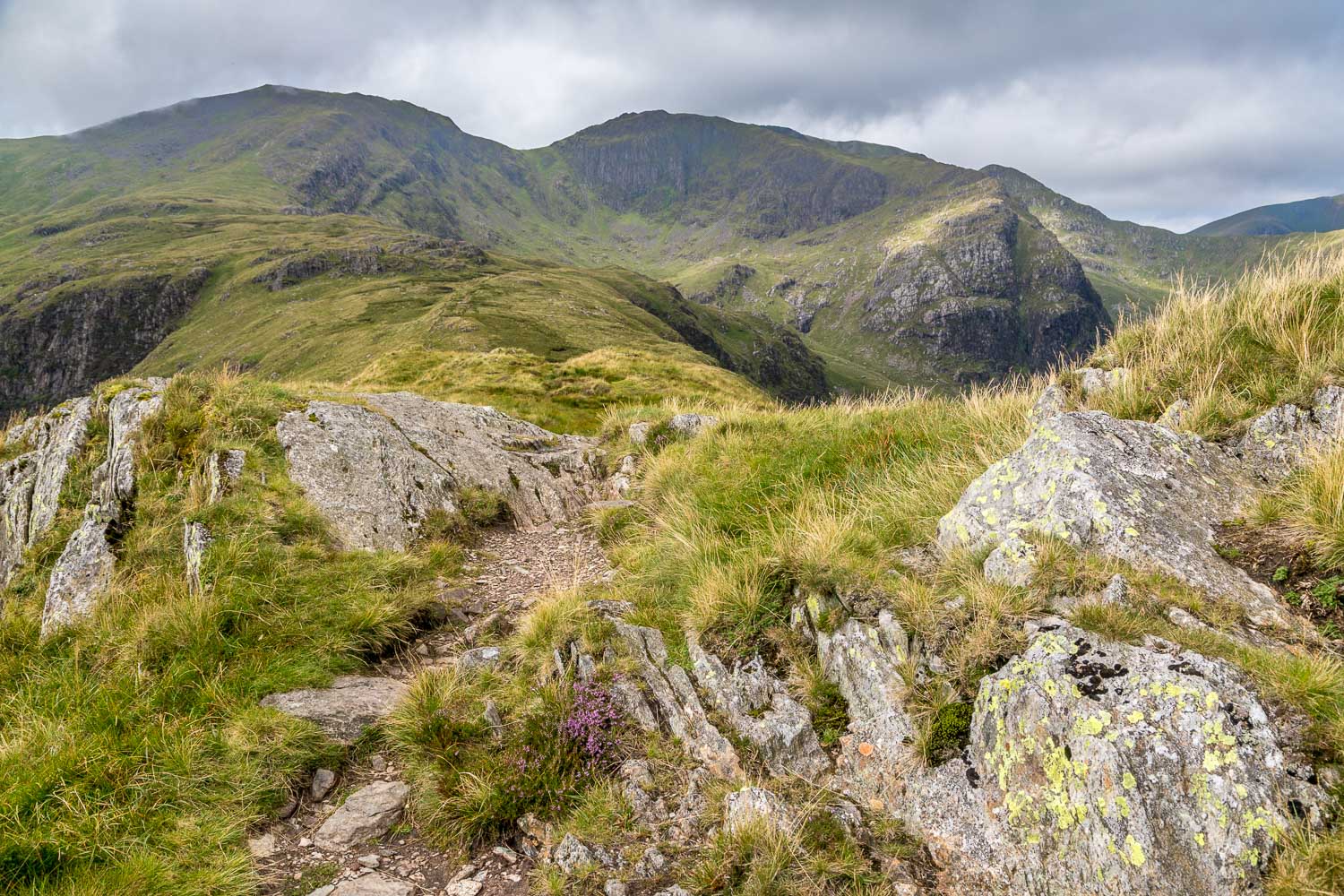
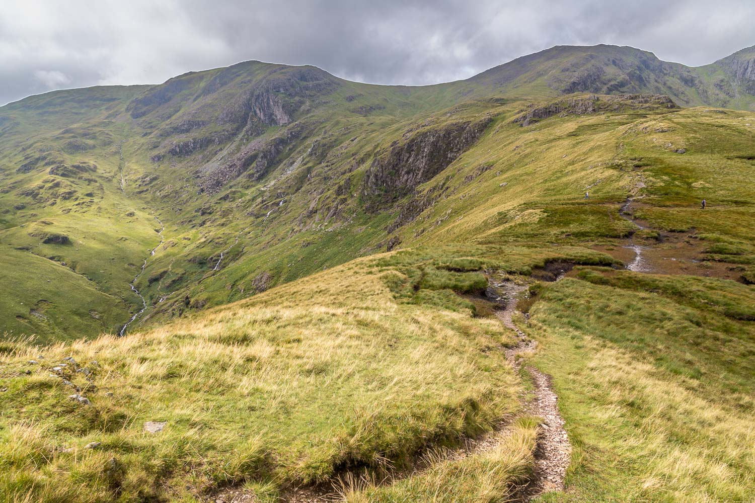
Beyond the summit of Hartsop above How, we continue along the ridge to Hart Crag, left of picture, with Fairfield on the right
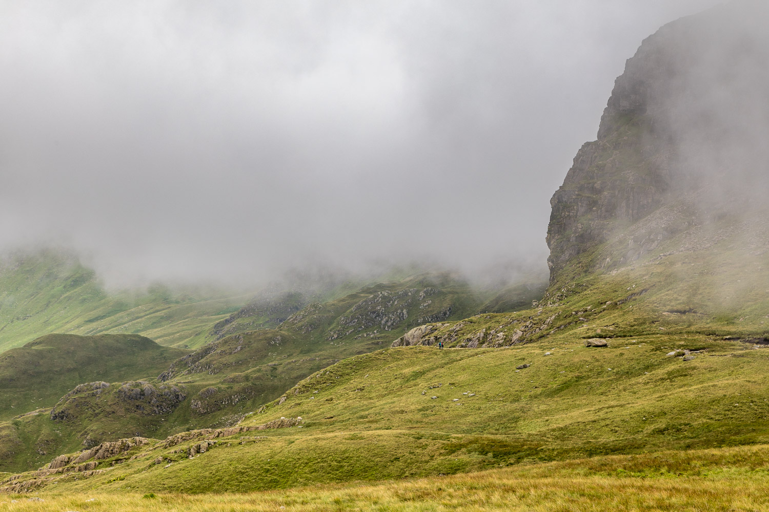
At this point the clouds roll in and the views disappear. We decide to shorten our route and will descend via a path below the crags...
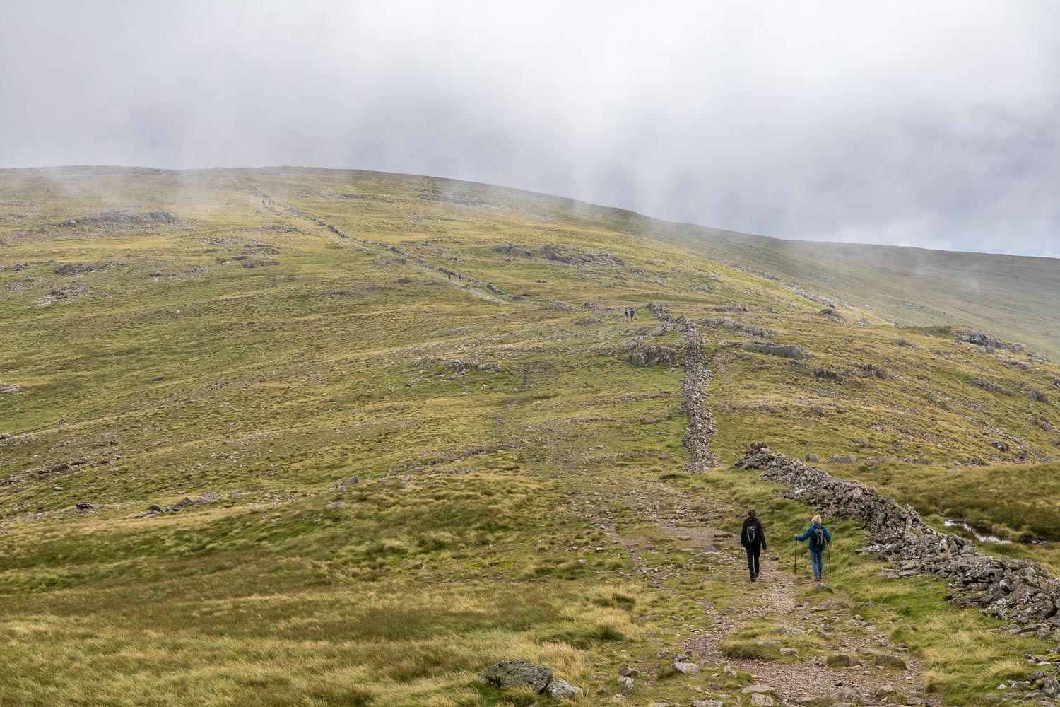
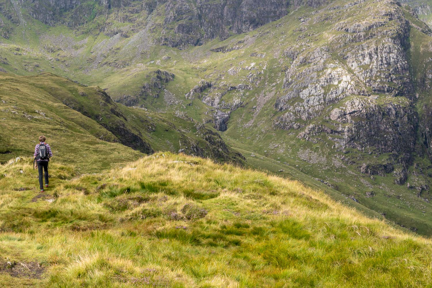
We're now on a popular fell walking route - the Fairfield Horseshoe - but we turn left after a short distance to start the descent
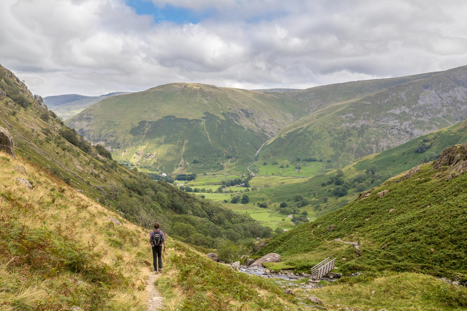
There's a bridge over Dovedale Beck, but it's quicker to keep to the left of the beck, so we ignore it
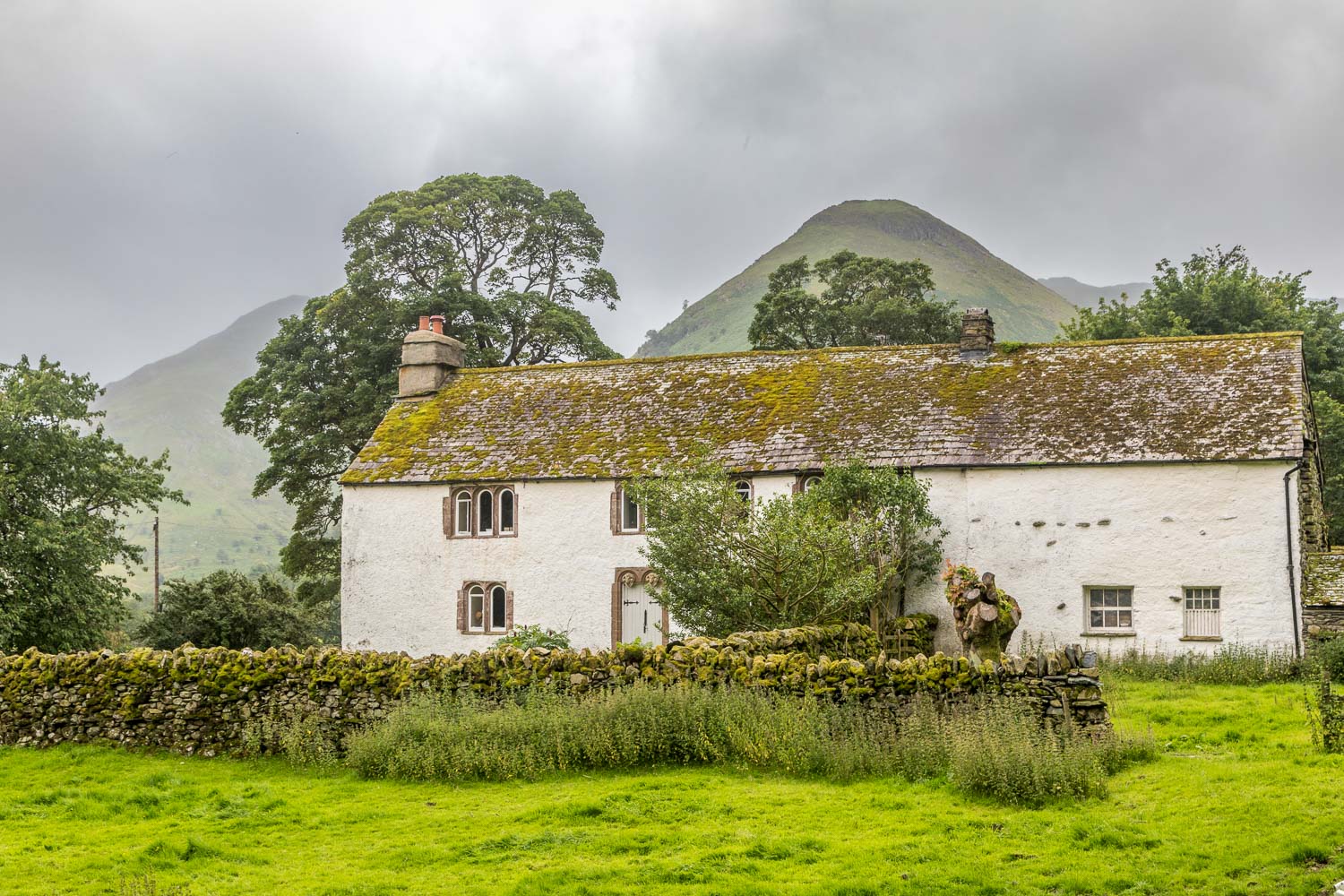
After a seemingly interminable descent, we arrive at the valley floor and pass by Hartsop Hall, one of the oldest properties in the Lake District
