Route: The Green Ring – Leg 2
Area: Austrian Alps
Date of walk: 3rd July 2015
Walkers: Andrew and Gilly
Distance: 9.9 miles
Ascent: 2,500 feet
Weather: Sunny, then overcast, then sunny again – but hazy
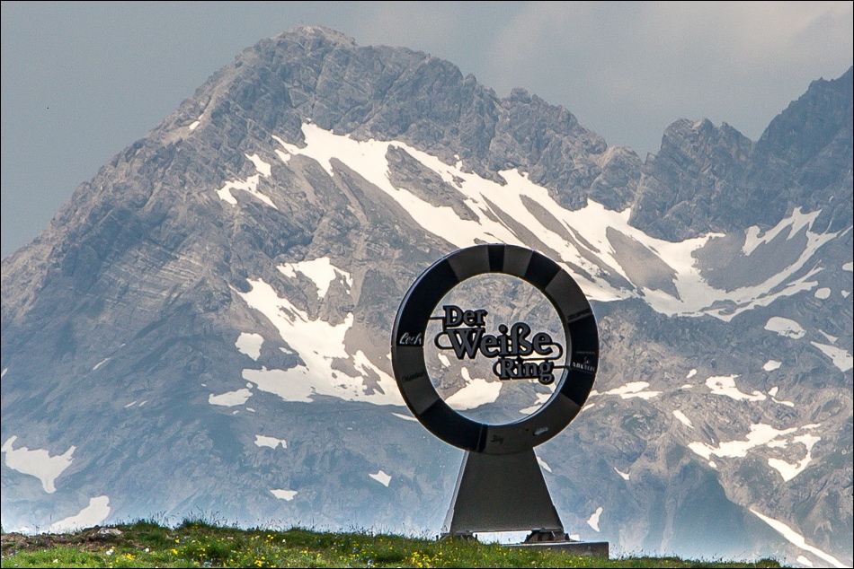
On the last day of a wonderful walking holiday we decided to complete the ‘Green Ring’ – a 3 day hiking route around the Lech Zürs am Arlberg region. We’d walked legs 1 and 3 earlier in the week
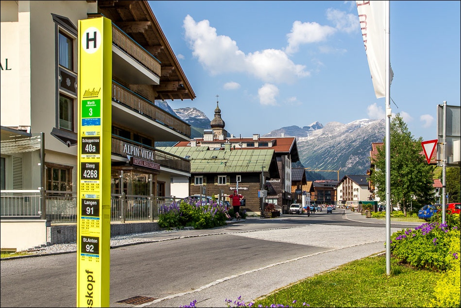
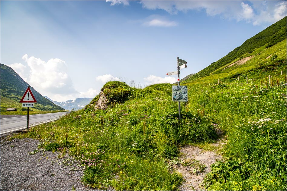
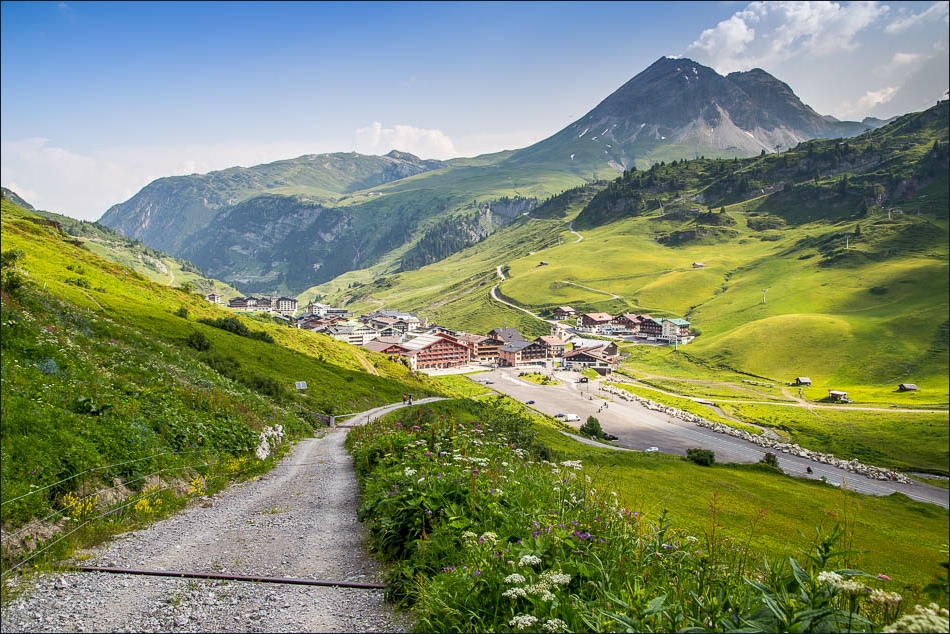
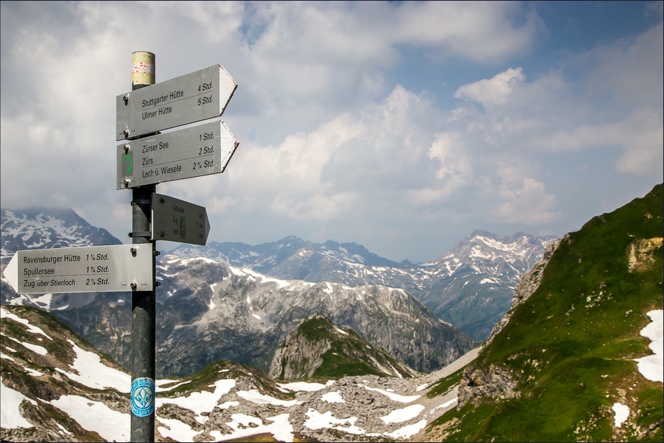
We caught the bus from Lech and alighted at Zürs. We walked out of the town and as we started on the climb up to Zürsersee Lake had some initial confusion, as the route description in our (otherwise very helpful) walking guide was different to the one shown on the map. We followed the description, which took us a longer way round via an easy track
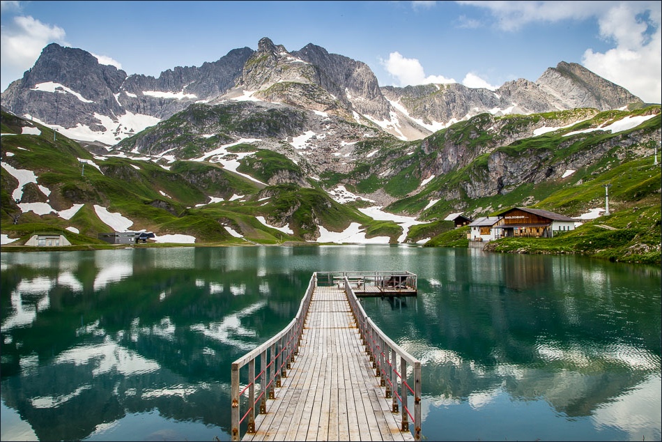
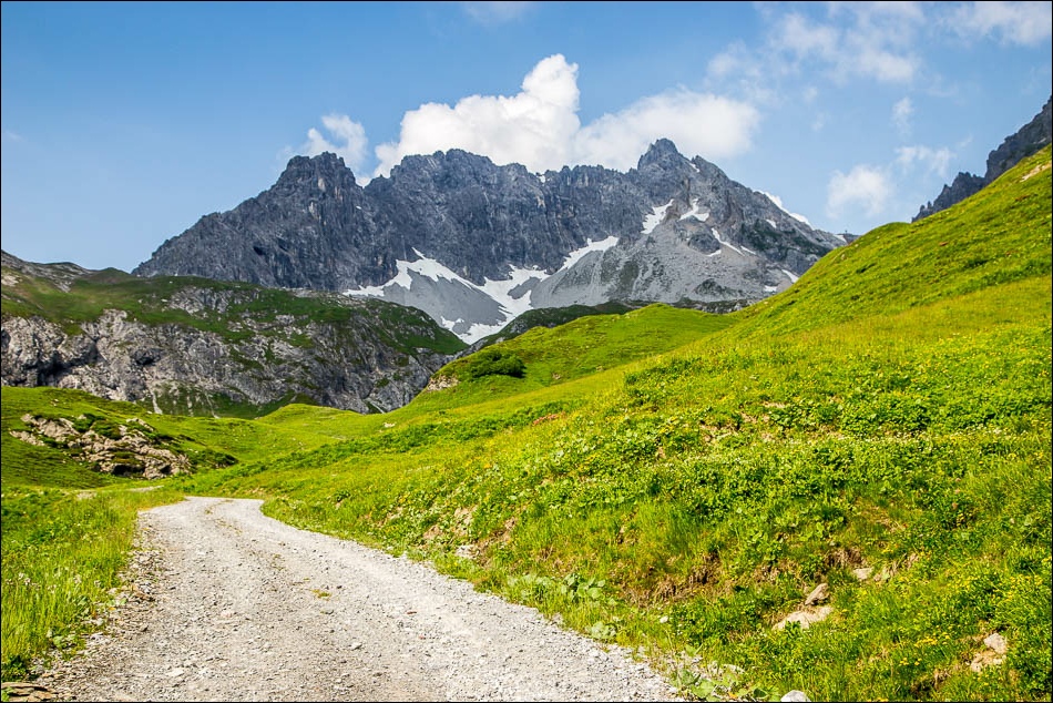
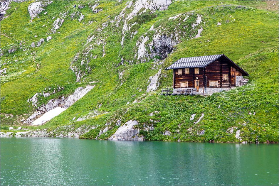
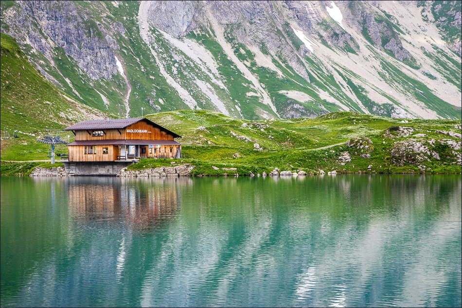
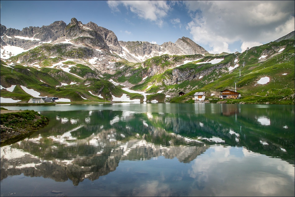
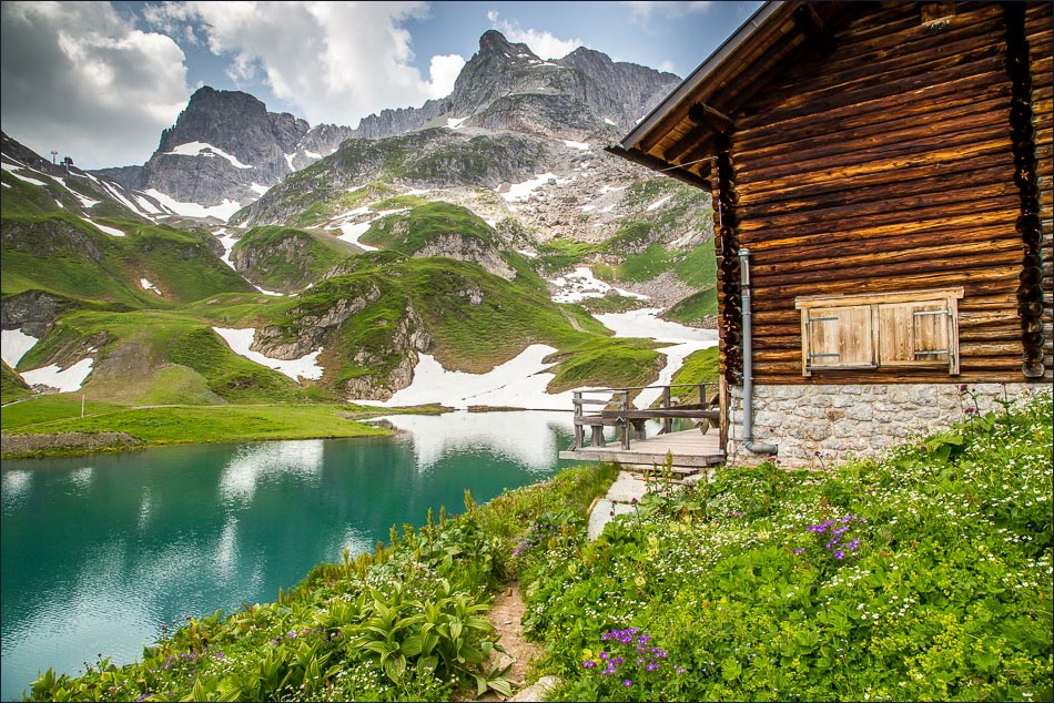
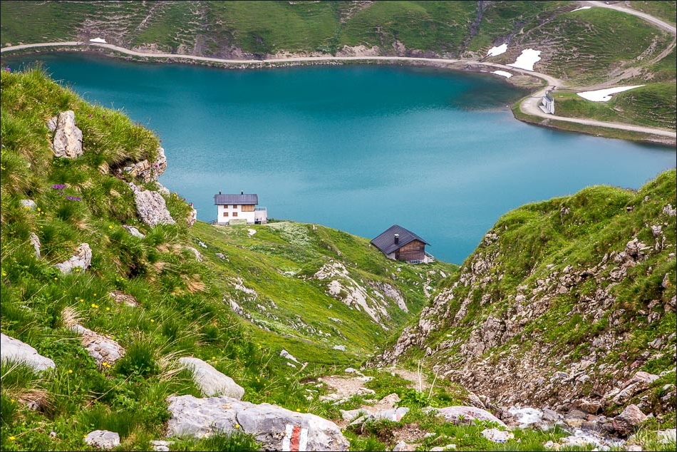
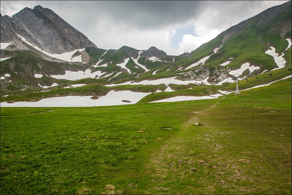
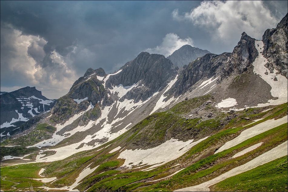
After a long climb up the track we arrived at Zürsersee Lake, set in an amazing position high up in the mountains, with plenty of snow around
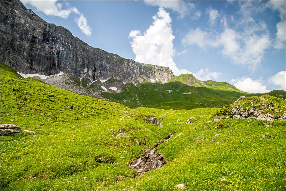
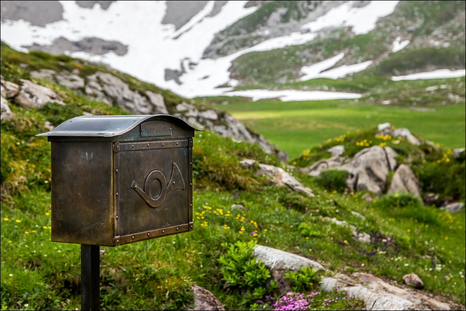
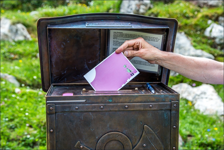
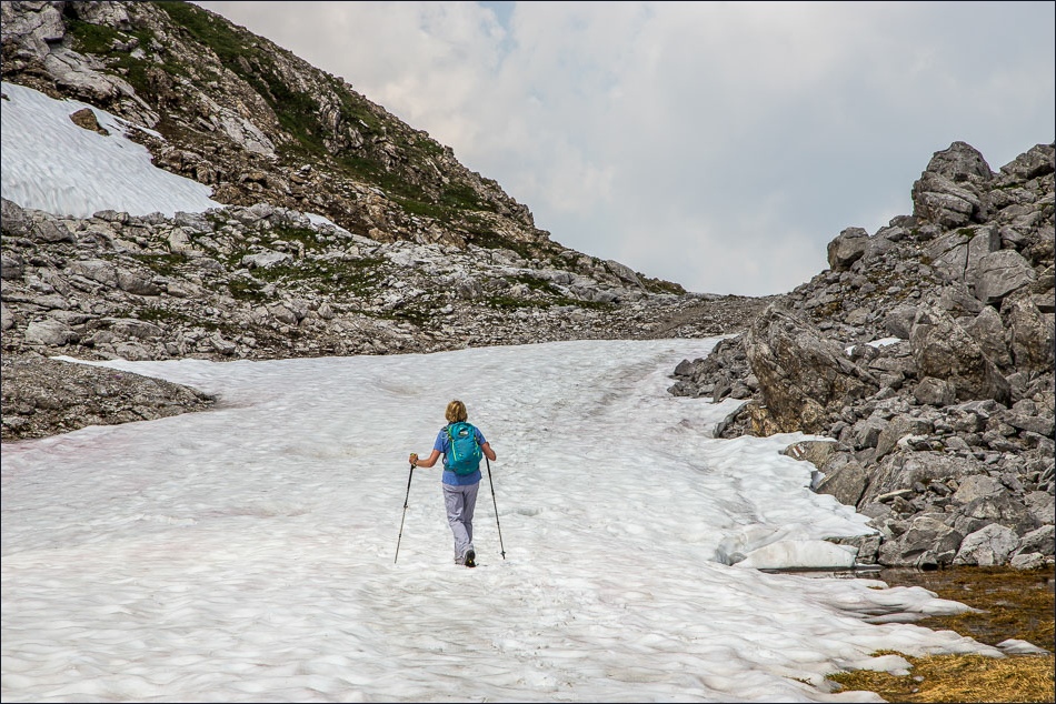
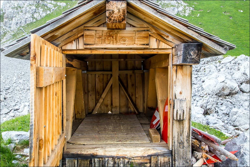
After the lake we crossed a few small snow fields and near the high point of the walk we came across a small post box, which contained a biro and some postcards. The cards are collected once a year and delivered free of charge. Someone we know will receive mail from Austria within the next year, but I’m not giving any clues
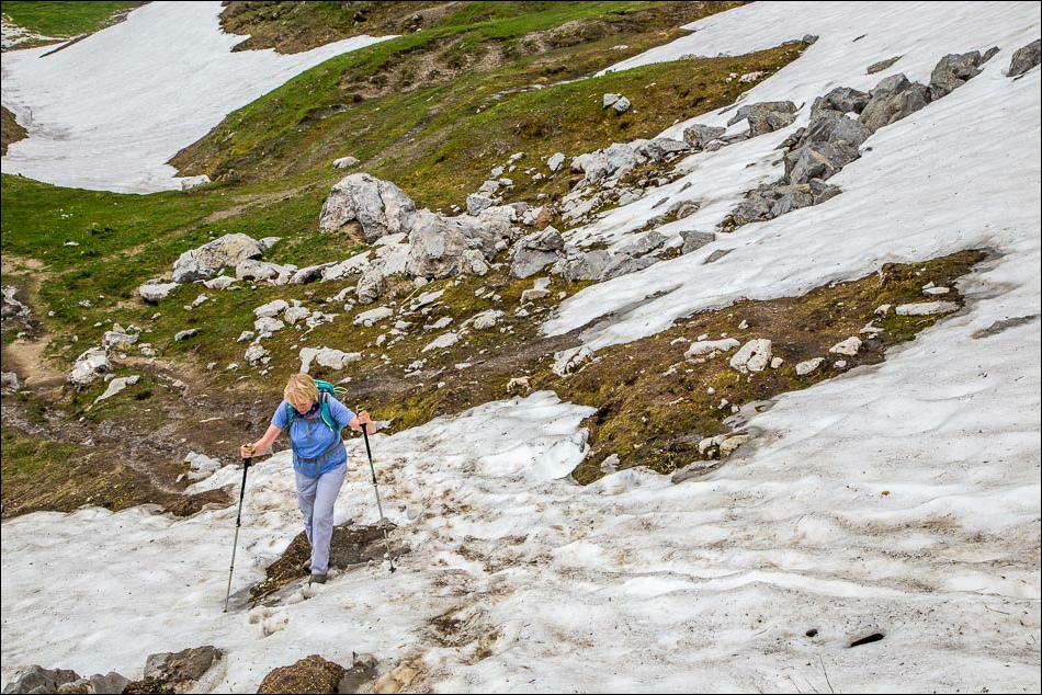
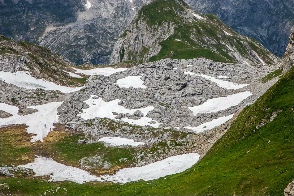
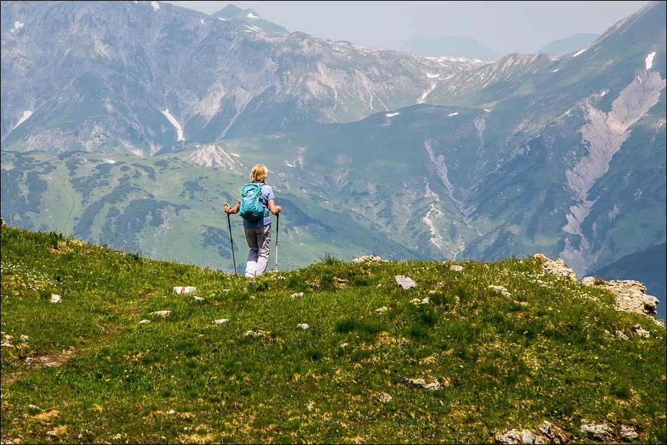
The long descent was straightforward, apart from one short but very steep section where snow covered the track and we had to resort to some ungainly manouevres to get down
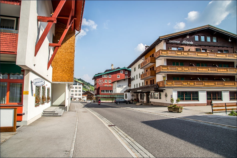
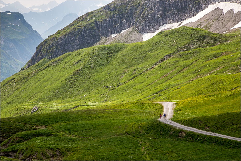
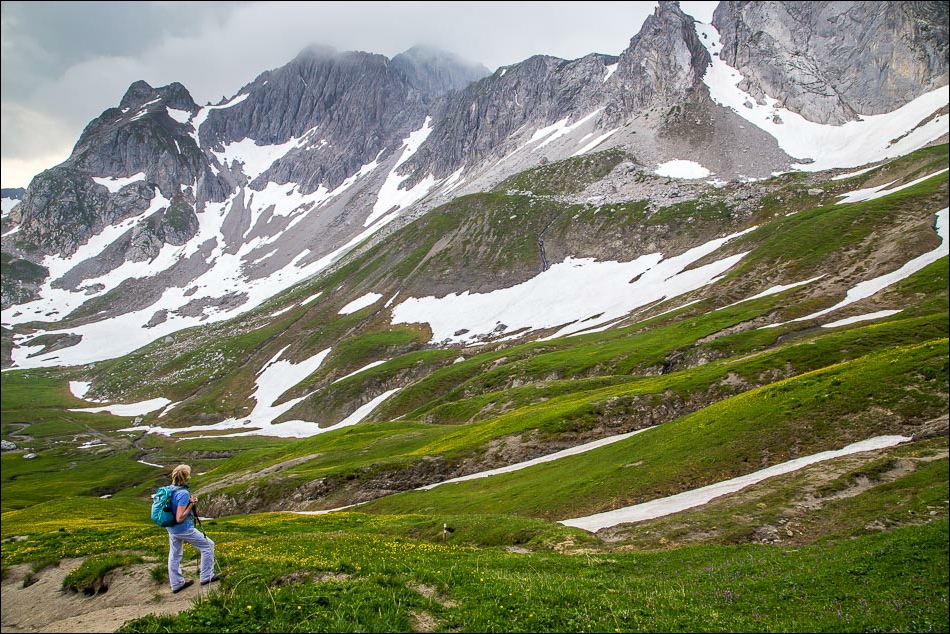
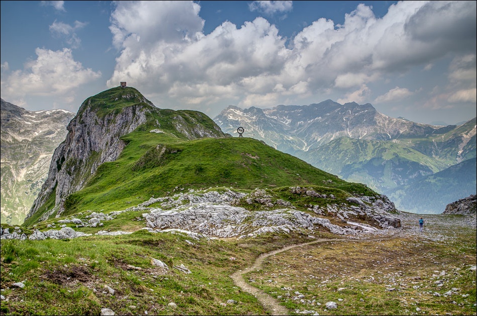
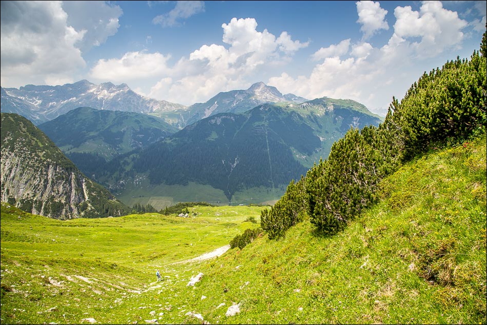
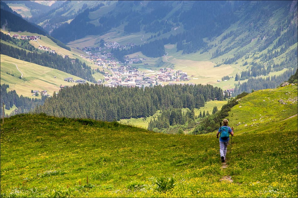
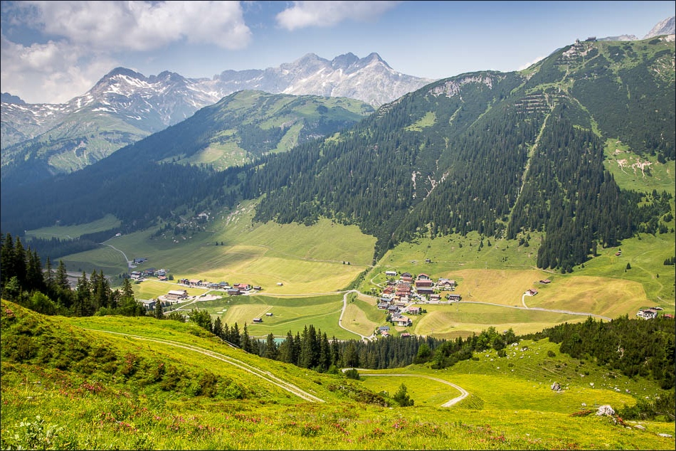
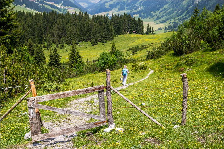
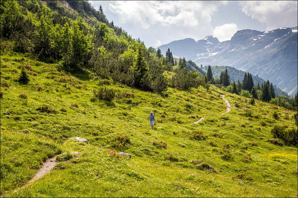
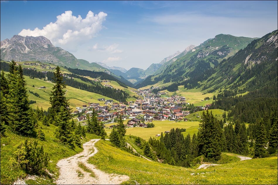
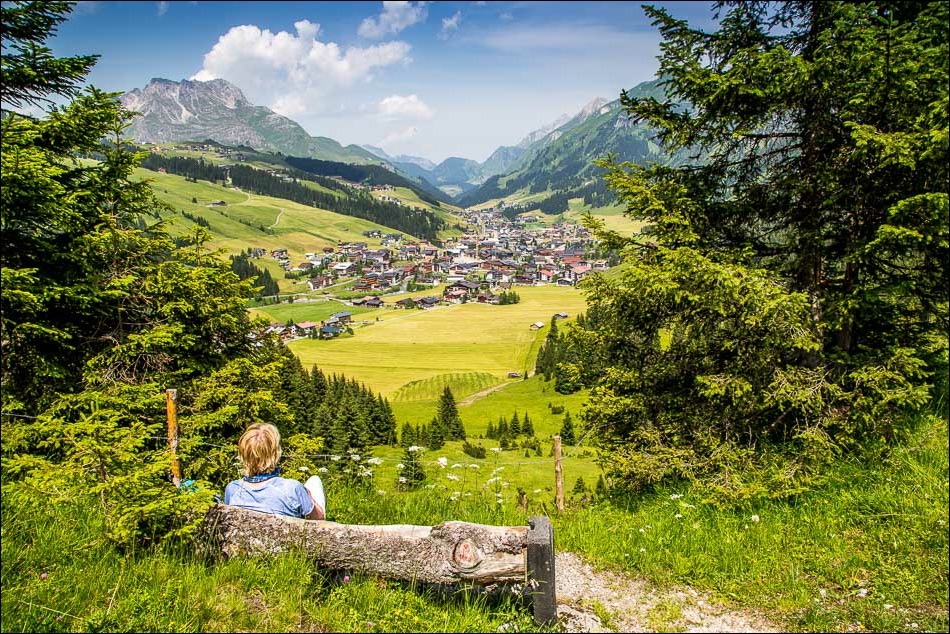
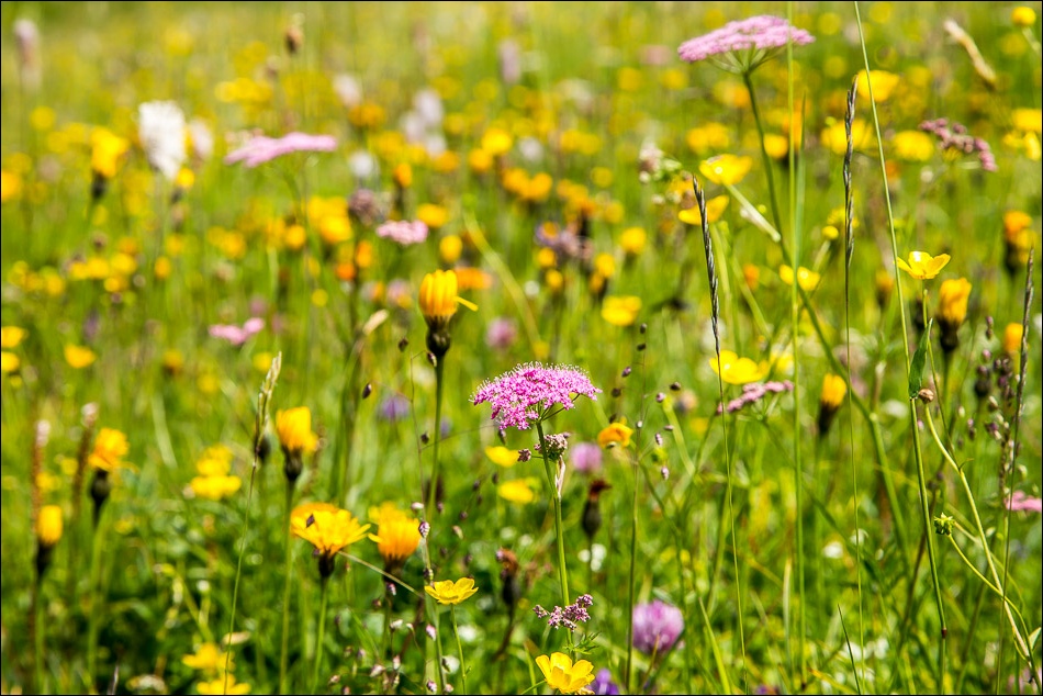
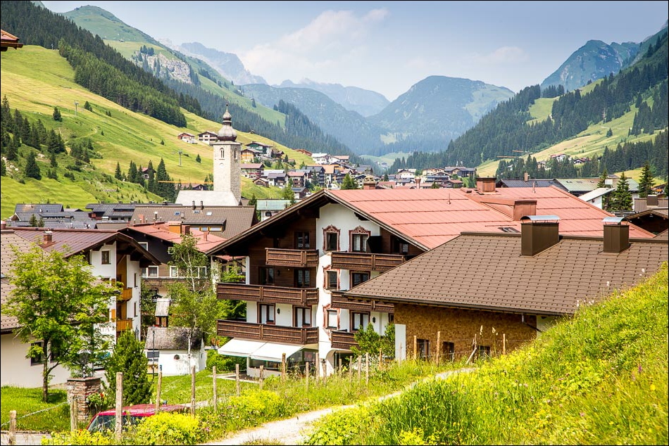
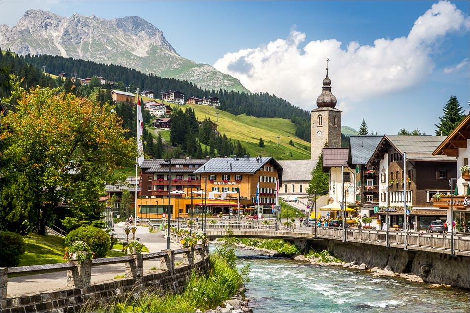
Eventually journey’s end came into sight below – the little village of Zug. However instead of descending to Zug and waiting for the bus back to Lech, we decided to follow the contoured path round the mountain side and walk back into Lech. This was a lovely end to the walk, through Alpine meadows with wonderful views along the Lech valley as we descended gently back to the start
Click on the icon below for the route map
Scroll down – or click on any photo to enlarge it and you can then view as a slideshow
