Route: Green Crag
Area: Southern Lake District
Date of walk: 13th September 2013
Walkers: Andrew and Gilly
Distance: 6.1 miles
Ascent: 1,600 feet
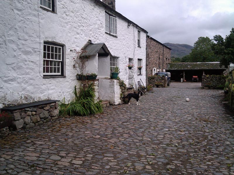
Today was Friday the 13th, so something was bound to happen – and it did. Gilly left her walking boots at home, and I left the camera battery in the charger. The air was blue when we discovered these schoolboy errors in the car park at the Woolpack Inn Eskdale, our start point
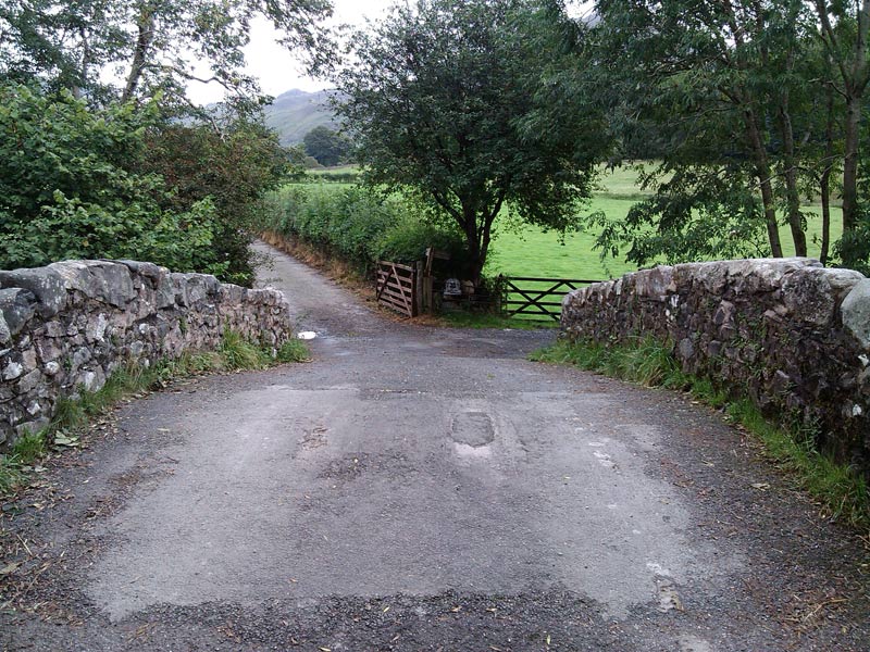
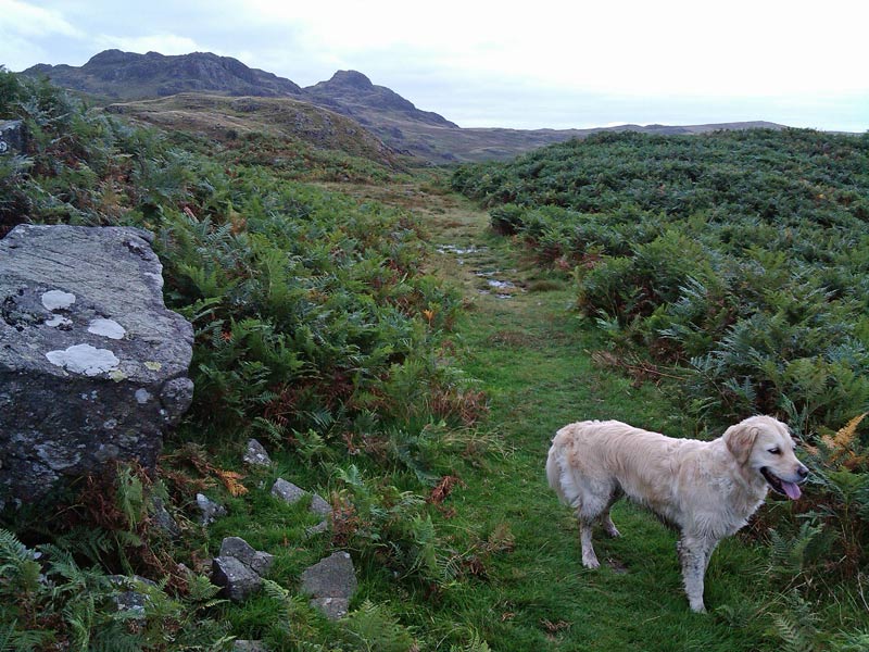
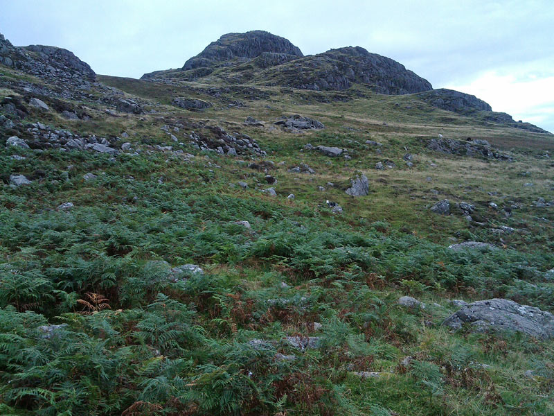
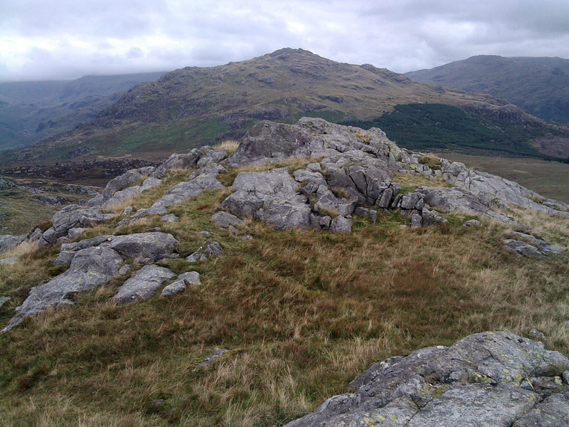
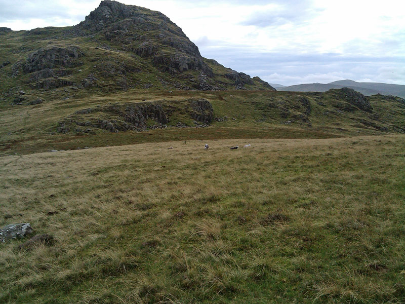
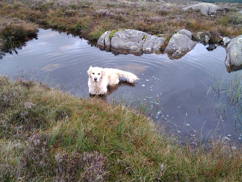
Still cursing, we set off and crossed over the River Esk to begin our ascent. It was easy going at first but soon the terrain became pathless – and very juicy. Gilly’s trainers were soon shipping water, but it was so wet that my properly booted feet were soaking too. The camera issue was resolved as Gilly’s phone takes passable pictures, and the weather was so indifferent that a good camera would have made little difference
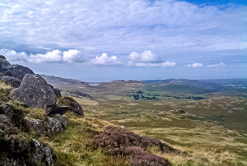
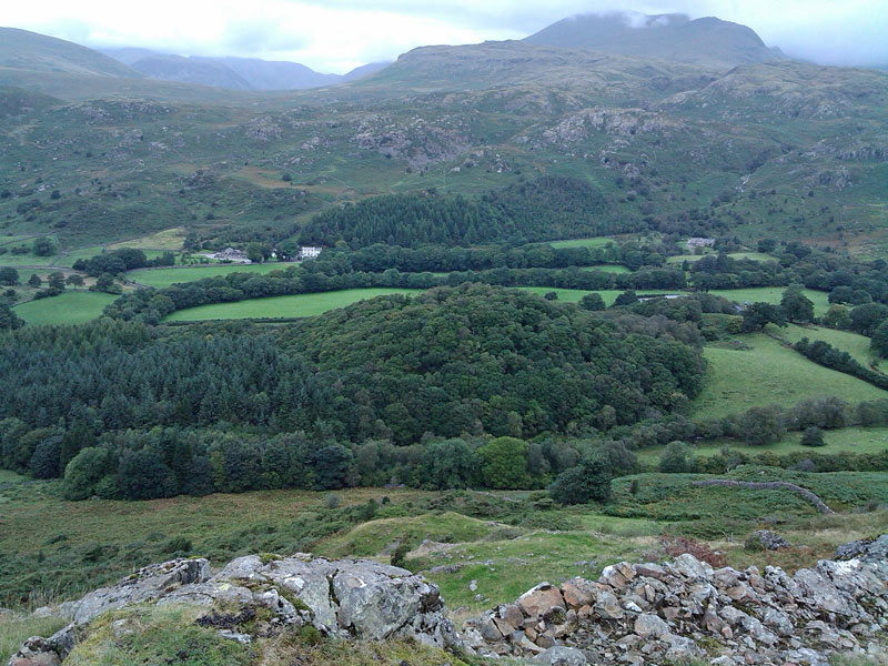
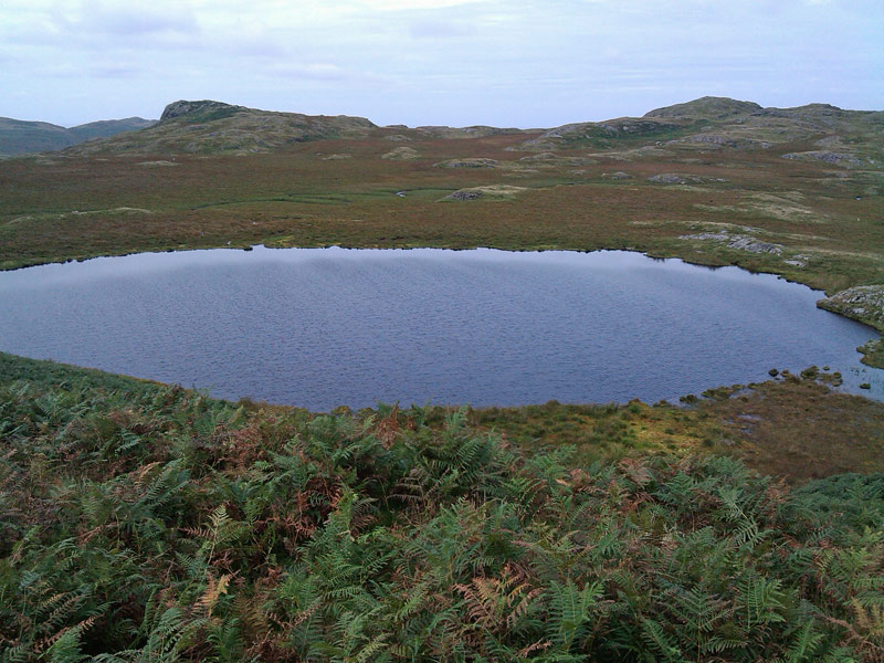
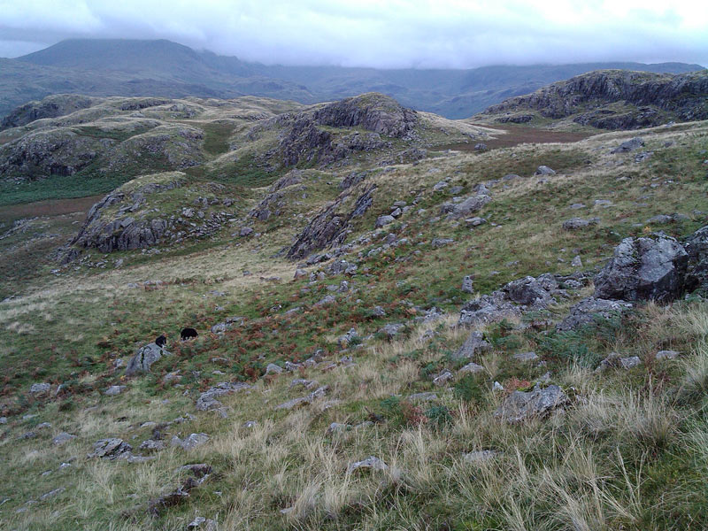
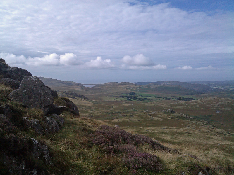
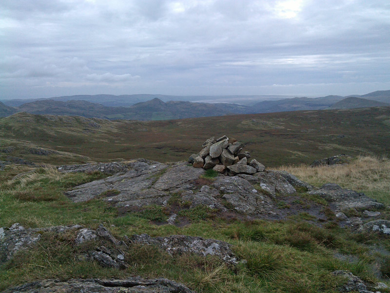
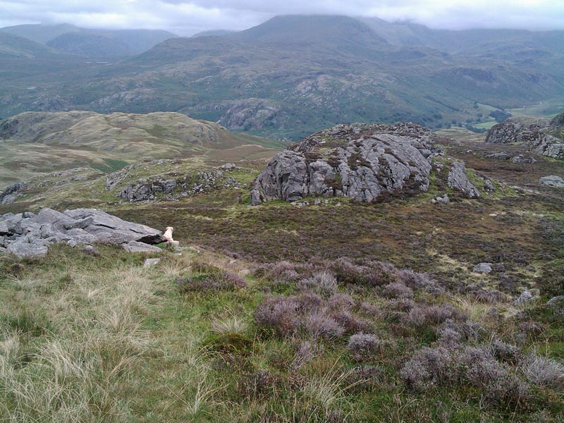
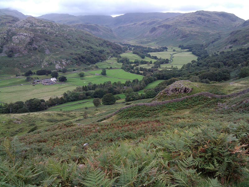
We eventually made it to the top and looked back over the wild and remote landscape. Although it was dull we could see Morecambe Bay, as well as a large chunk of the Lake District
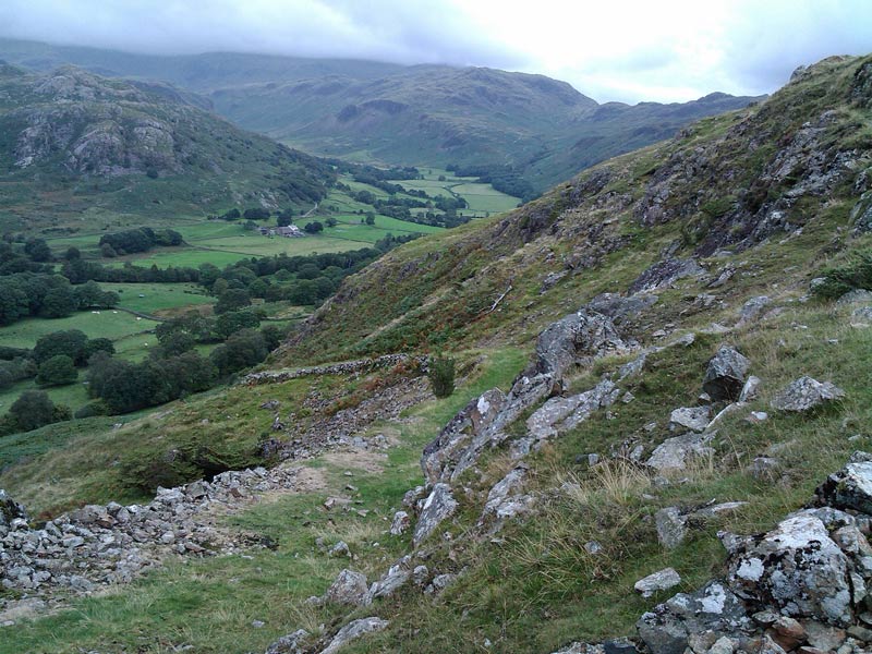
The way down was easier, as there was a distinct path for most of the way. We’d enjoyed the walk, and our mood was much better at the end of it than it had been at the start
For other walks here, visit my Find Walks page and enter the name in the ‘Search site’ box
Click on the icon below for the route map (subscribers to OS Maps can view detailed maps of the route, visualise it in aerial 3D, and download the GPX file. Non-subscribers will see a base map)
Scroll down – or click on any photo to enlarge it and you can then view as a slideshow
