Route: Grassi Lakes
Area: Alberta, Canada
Date of walk: 20th September 2024
Walkers: Andrew and Gilly
Distance: 2.8 miles
Ascent: 600 feet
Weather: Light rain, cloudy with some bright intervals
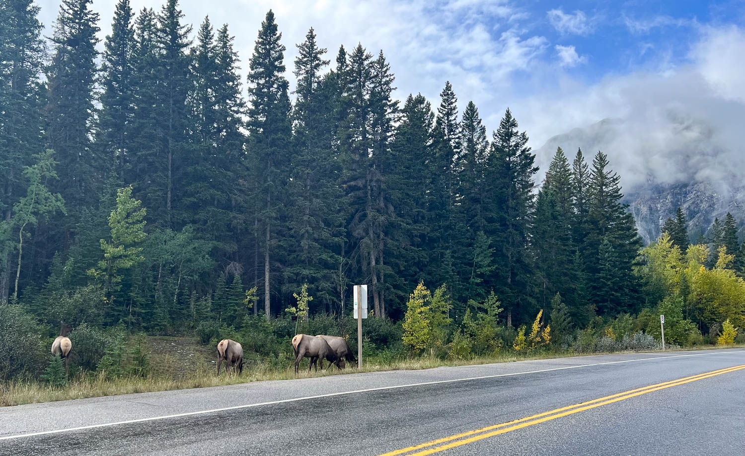
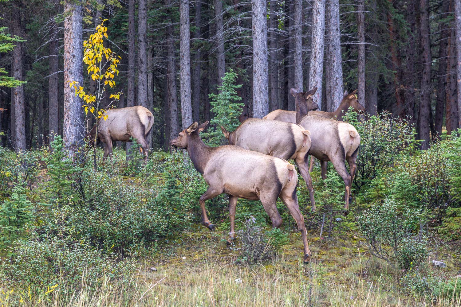
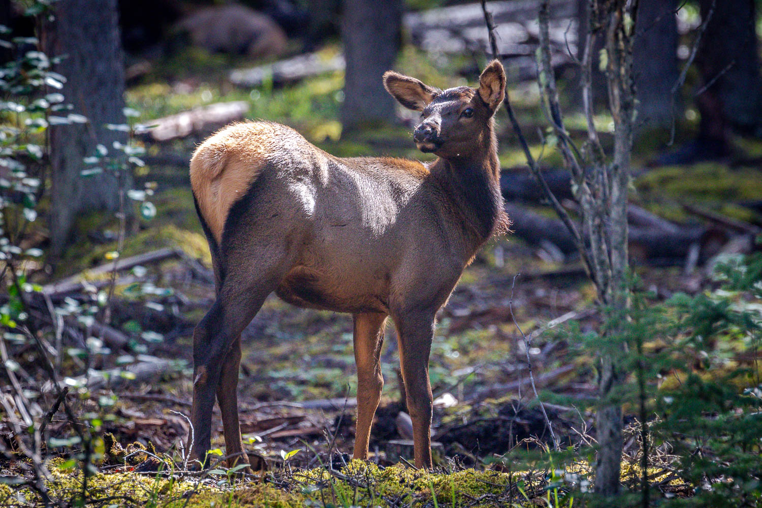
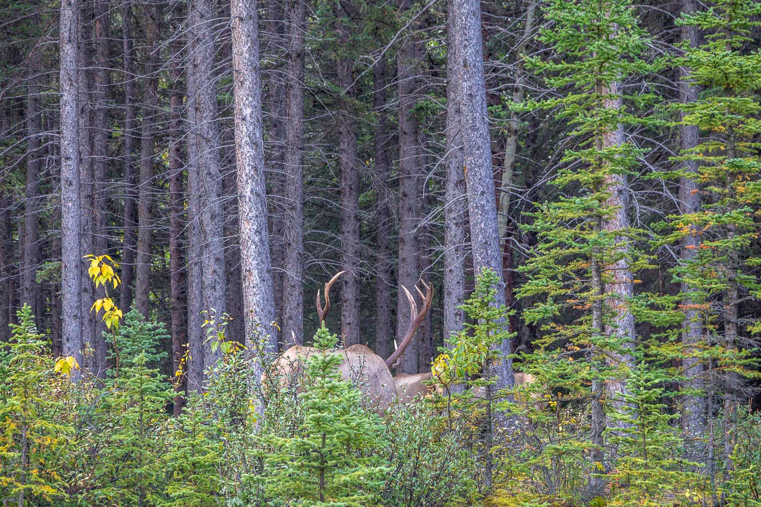
After this morning’s short walk around Johnson Lake there remained plenty of time for another walk in the afternoon. We drove from our base in Canmore to the car park at the trailhead to Grassi Lakes. It was a thrill to see a large herd of elk near the roadside near Canmore along the way
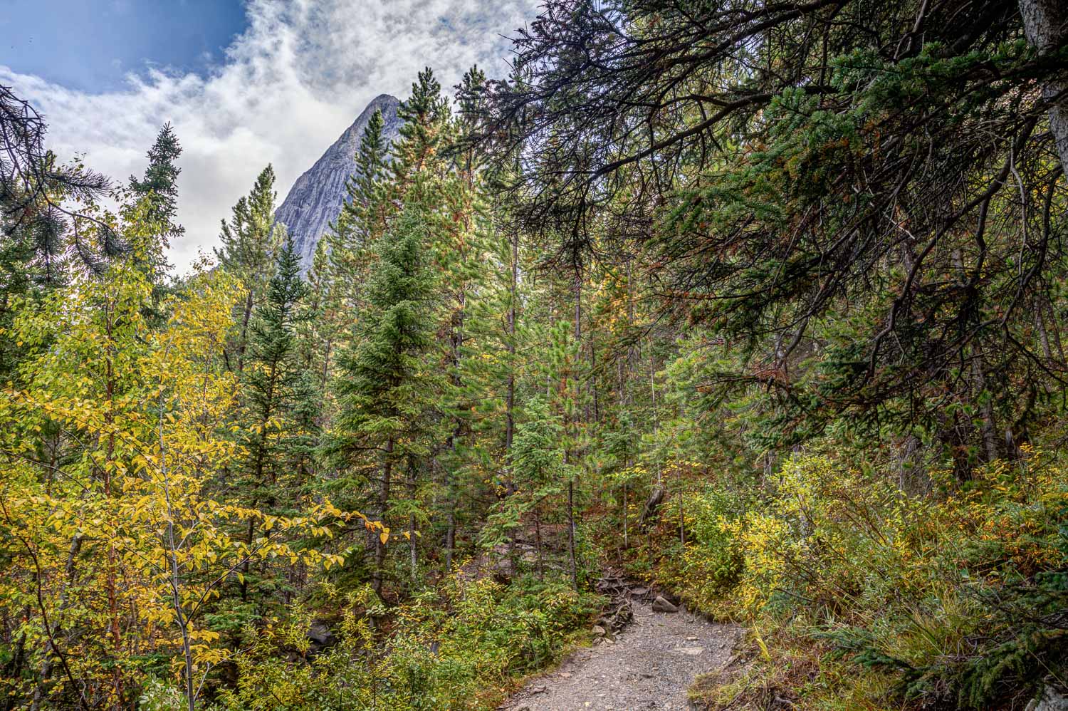
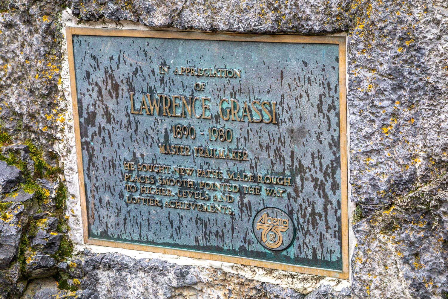
Grassi Lakes is a well known beauty spot and can be very busy at peak times. The lakes are named in honour of Lawrence Grassi, a pioneer trailbuilder. We were late in the season and the weather was changeable so we were glad to see that there were only a few other cars in the large car park. The start of the walk is well signposted and it would be impossible to go astray. Indeed leaving the obvious paths is not permitted as there are wildlife corridors throughout the area. We brought our bear spray along just in case, as bears can sometimes be seen along the trail
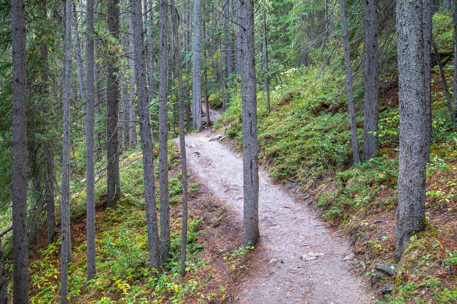
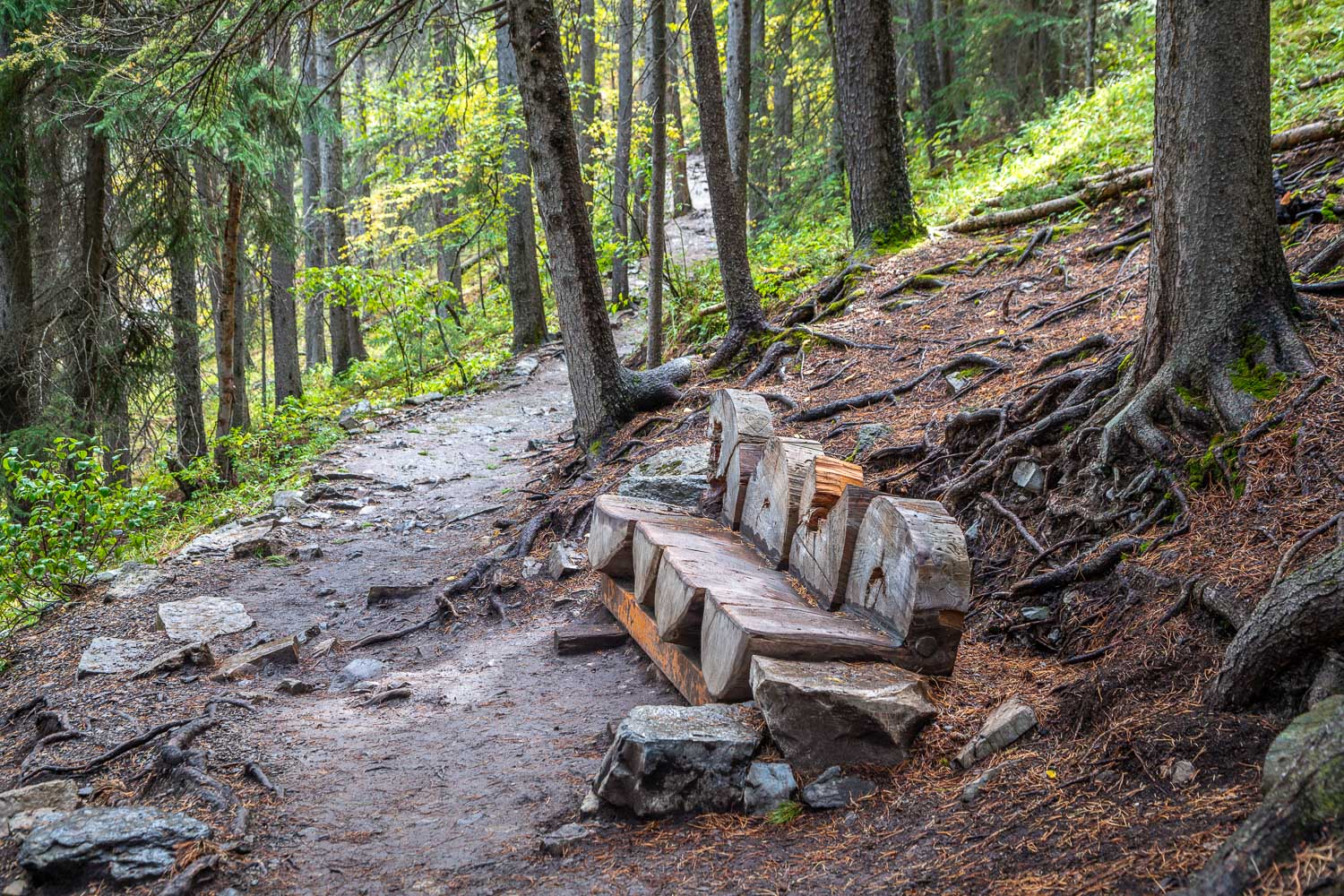
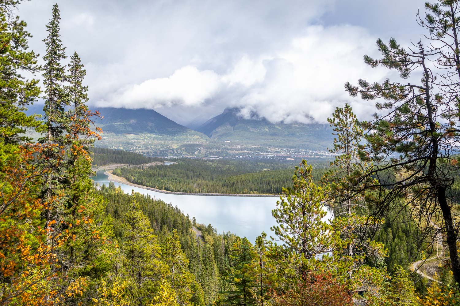
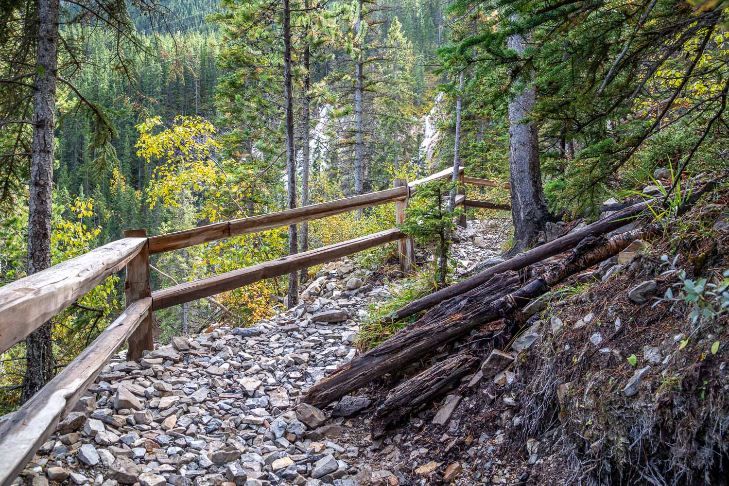
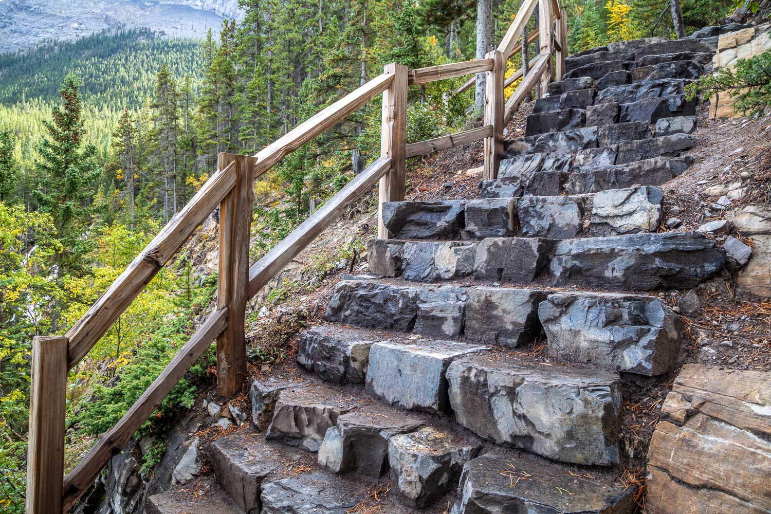
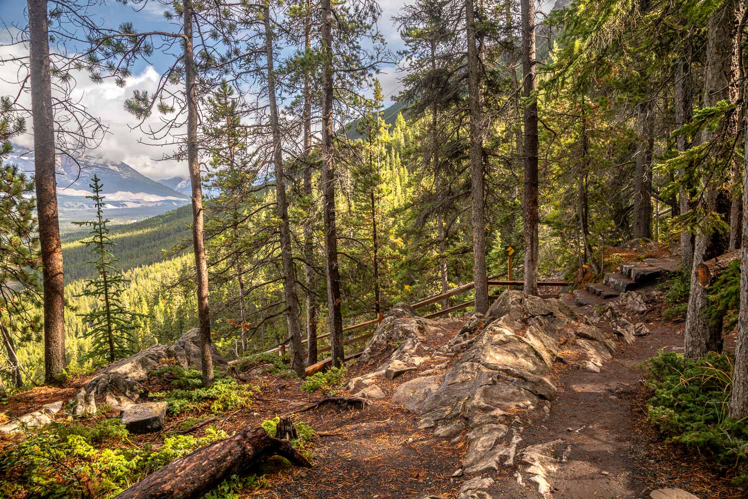
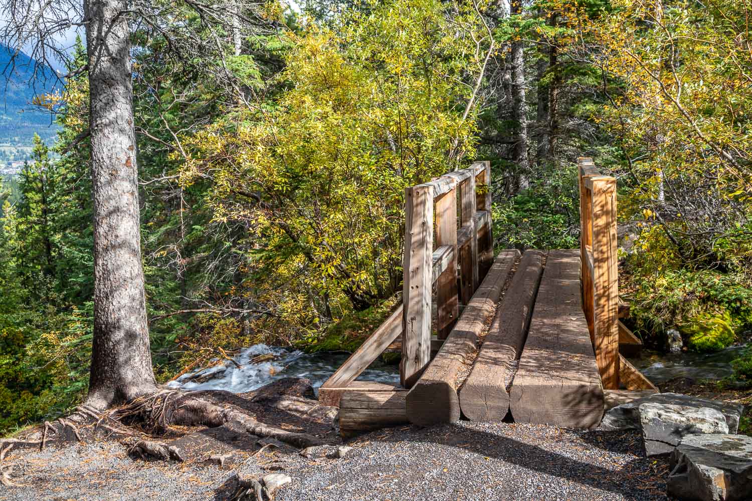
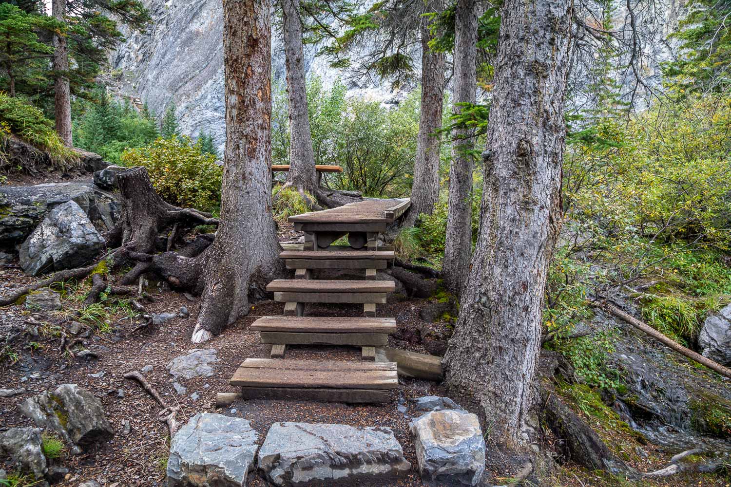
At a junction near the start of the walk we followed the lower Interpretive Trail and decided to return via the Upper Trail. It may be thought that the lower trail would be easier but it’s not. Grassi Lakes are at a height of over 5,000 feet and the lower trail involves quite a steep climb. The steeper section is well maintained and there’s a rocky staircase with hand rails to ease the climb. Along this section there’s a view back over Canmore and a spectacular waterfall
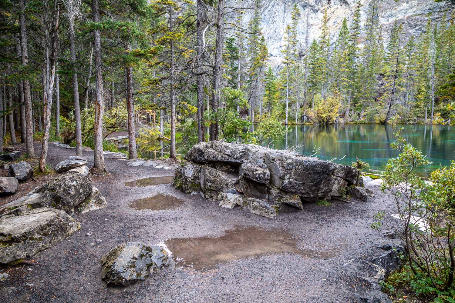
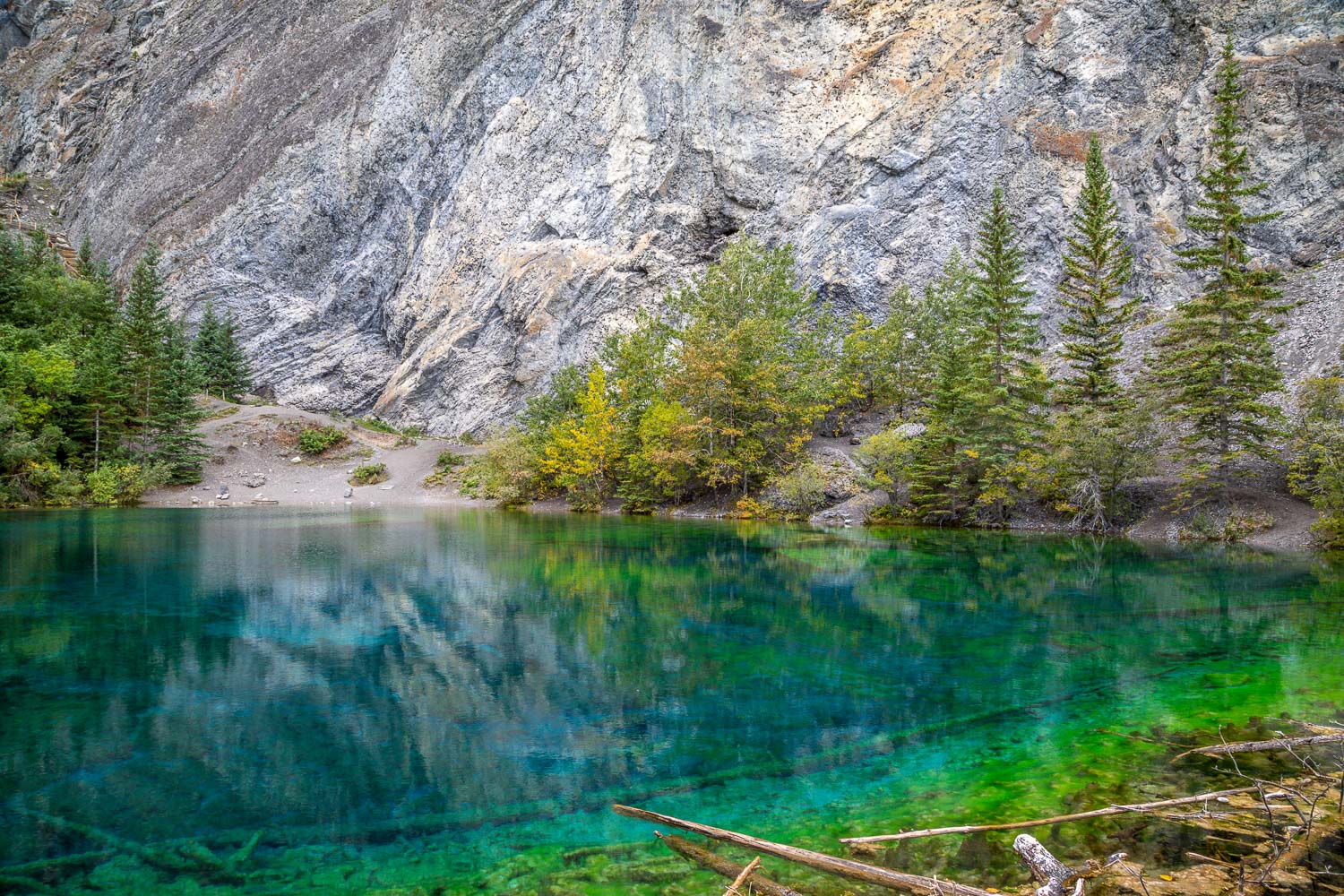
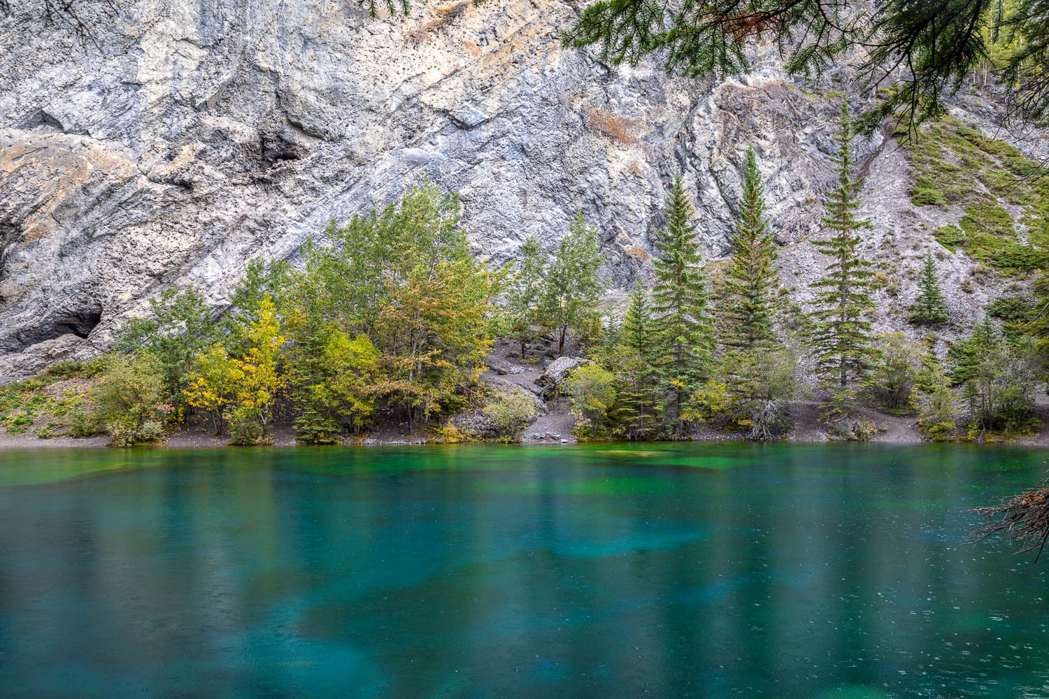
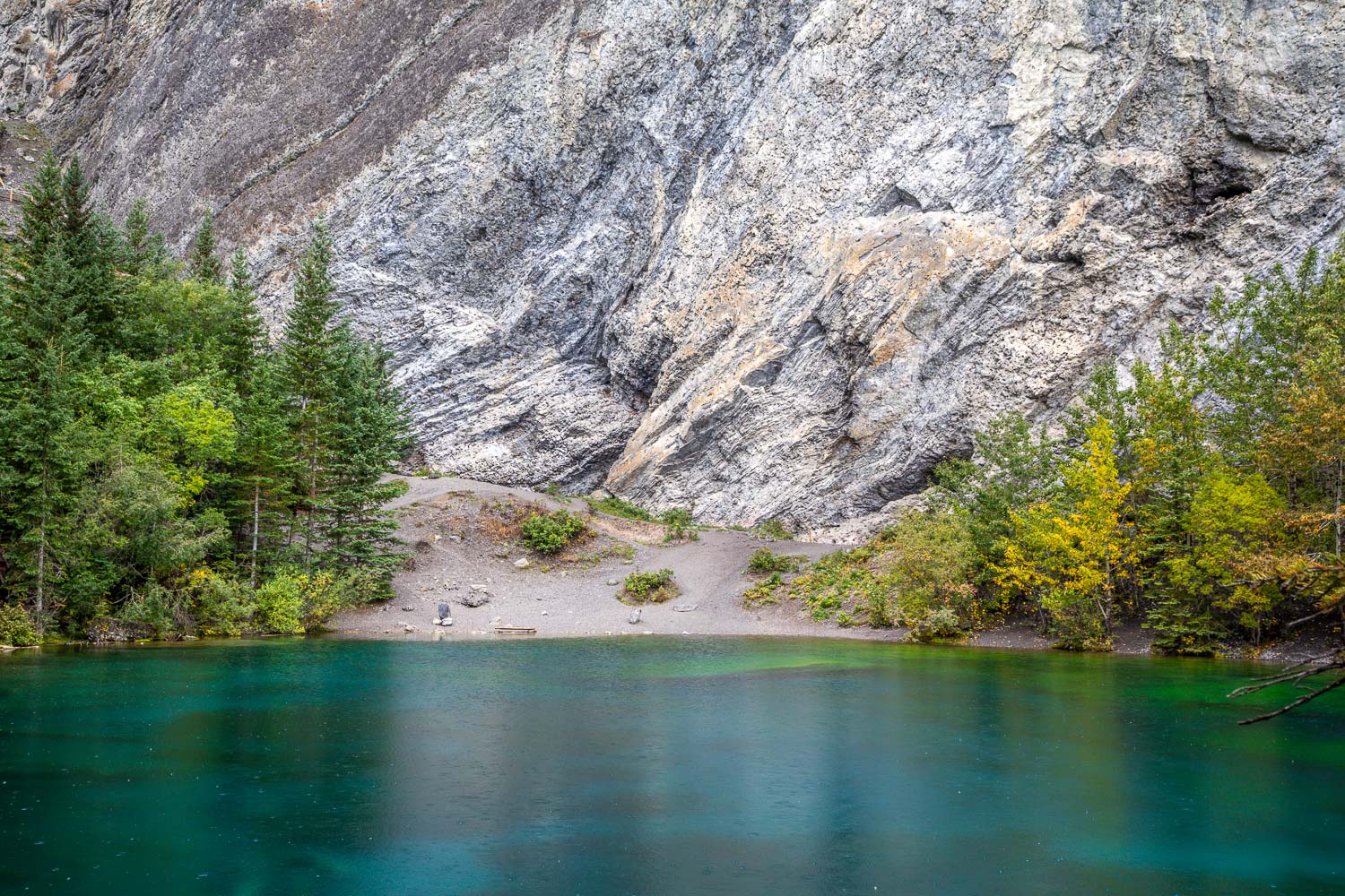
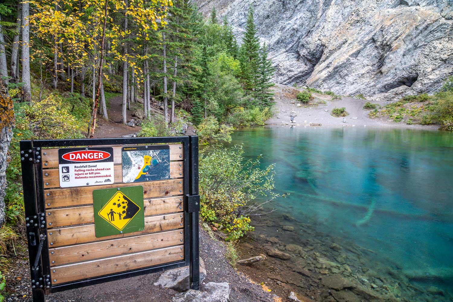
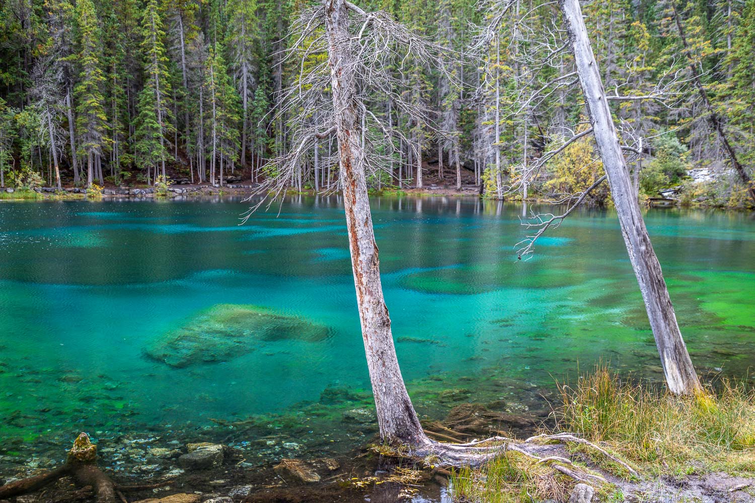
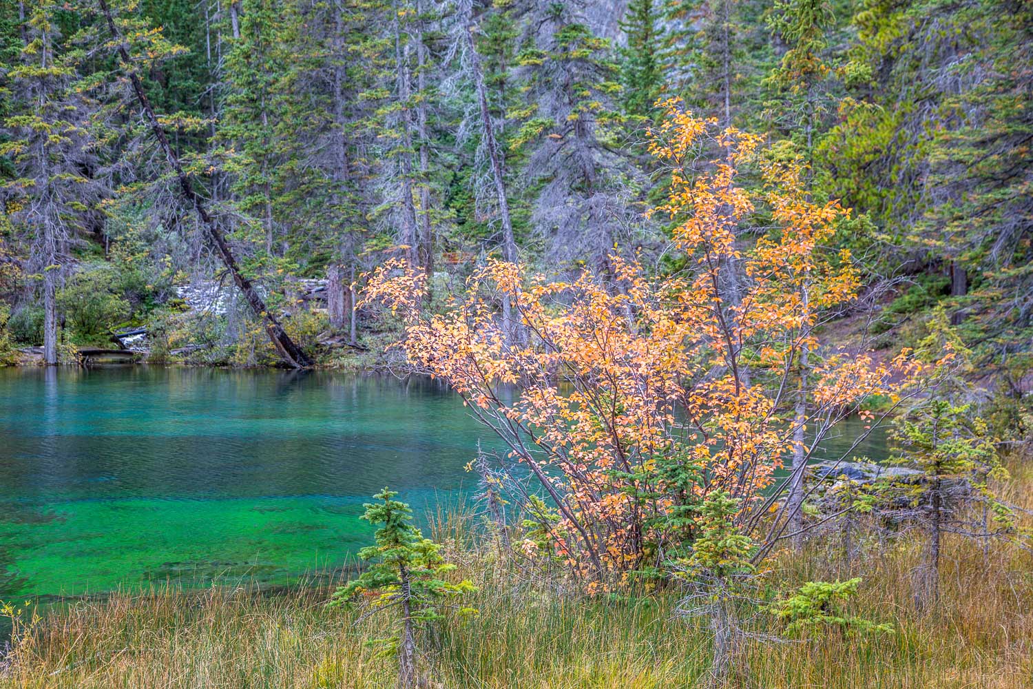
We soon reached the two small lakes. Even though it was raining at the time, the colours were stunning. Both lakes were a deep aquamarine and crystal clear thanks to minerals in the rocks and algae. For walkers, the trail ends at the furthest lake. Beyond it lies a path for climbers where there is a danger of rockfalls. Having explored both lakes we set off along the Upper Trail, which is a wide track set at a gentle gradient and makes for a very easy descent back to the start
Click on the icon below for the route map
Scroll down – or click on any photo to enlarge it and you can then view as a slideshow

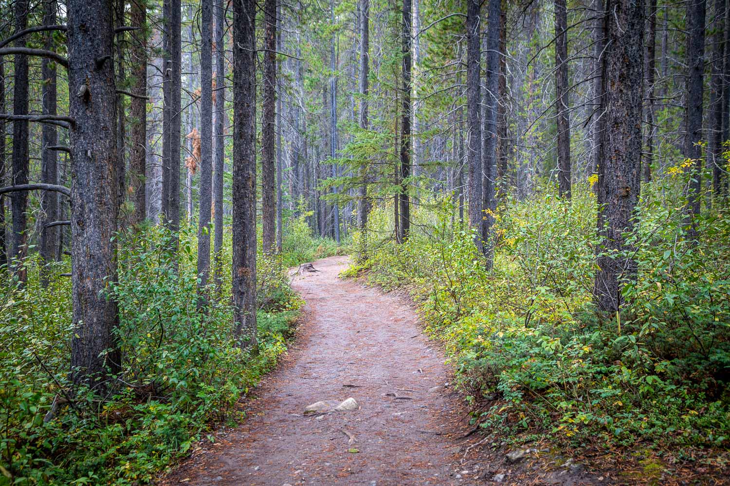
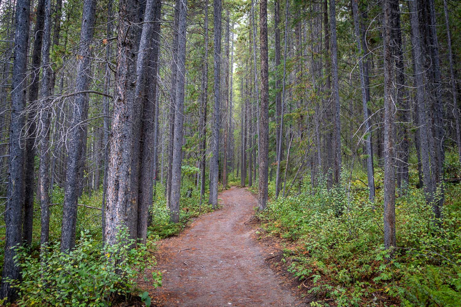
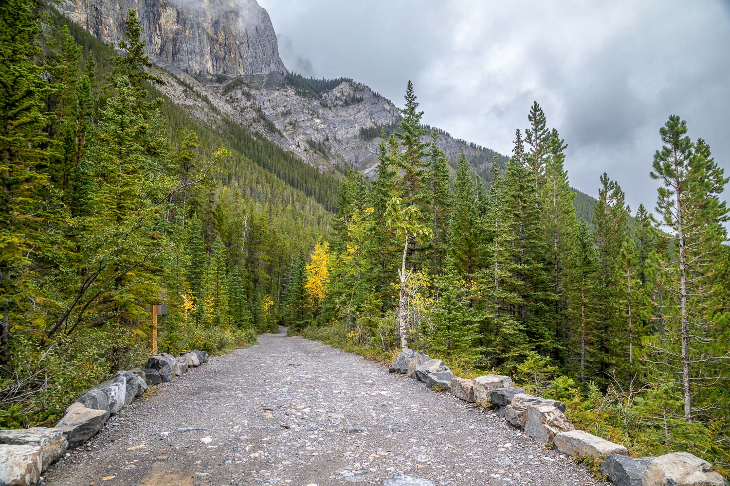
After that entertaining diversion we carried on to the Grassi Lakes car park and set off along the obvious track

We turn left at this junction. The Interpretive Trail is harder but much more interesting than the Upper Trail, which we will use for the return leg

Lawrence Grassi was held in such esteem that Mount Lawrence Grassi is named after him, as well as the two lakes

We follow the sign - navigation is a simple affair, and the authorities are keen to avoid walkers leaving the paths and straying into the wildlife corridors which surround this route

The extraordinary colour is caused by two factors - the blue is glacier melt and reflected sunlight from silt particles and and green is algae which creates oxygen for insects, a food source for diving birds such as the American Dipper

Braver mortals than us could continue the walk by following the path ahead, but we turn back here and retrace our steps for a short distance


