Route: Goathland
Area: North Yorkshire
Date of walk: 24th August 2017
Walkers: Andrew and Gilly
Distance: 8.1 miles
Ascent: 1,100 feet
Weather: Light cloud, some sunny spells
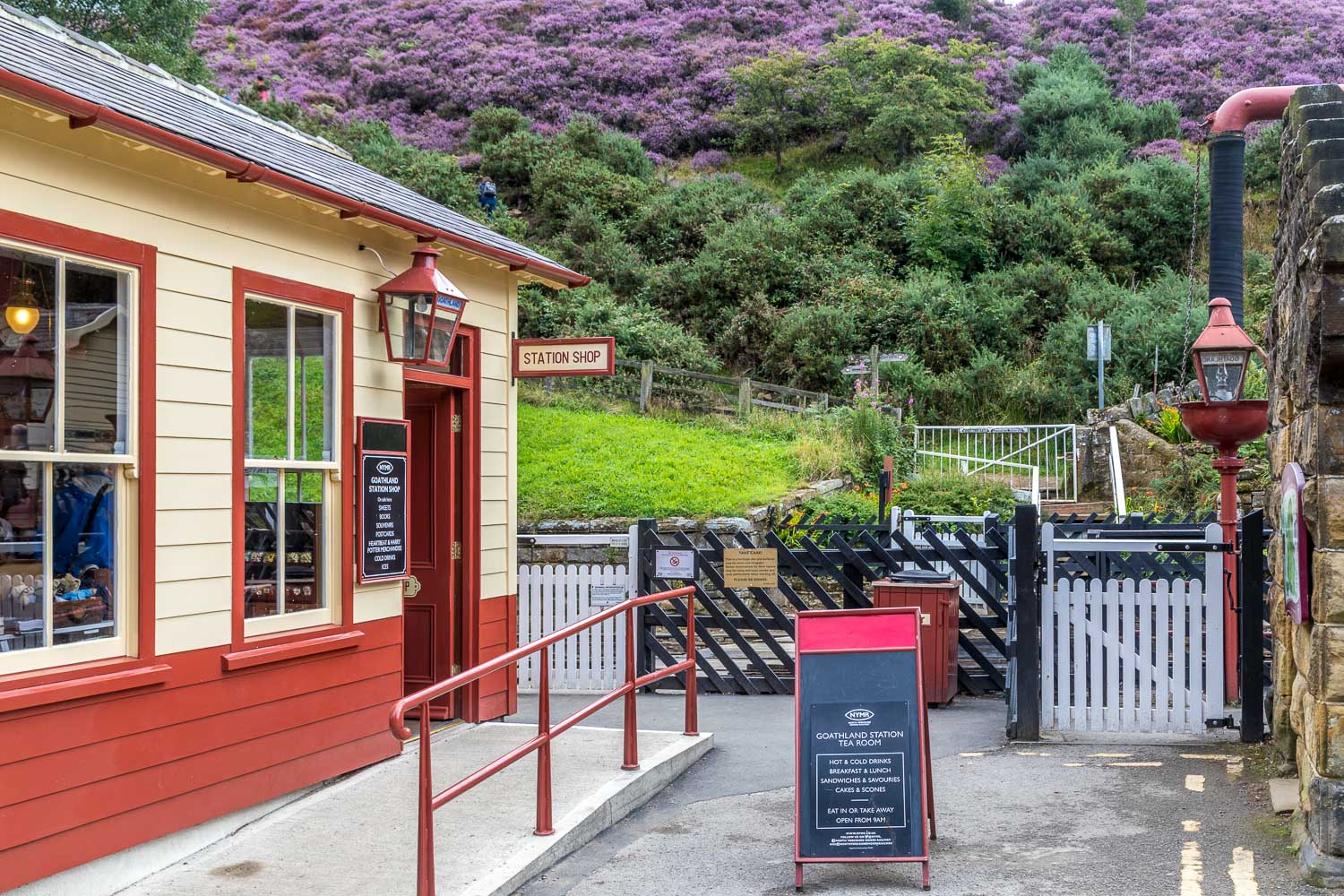
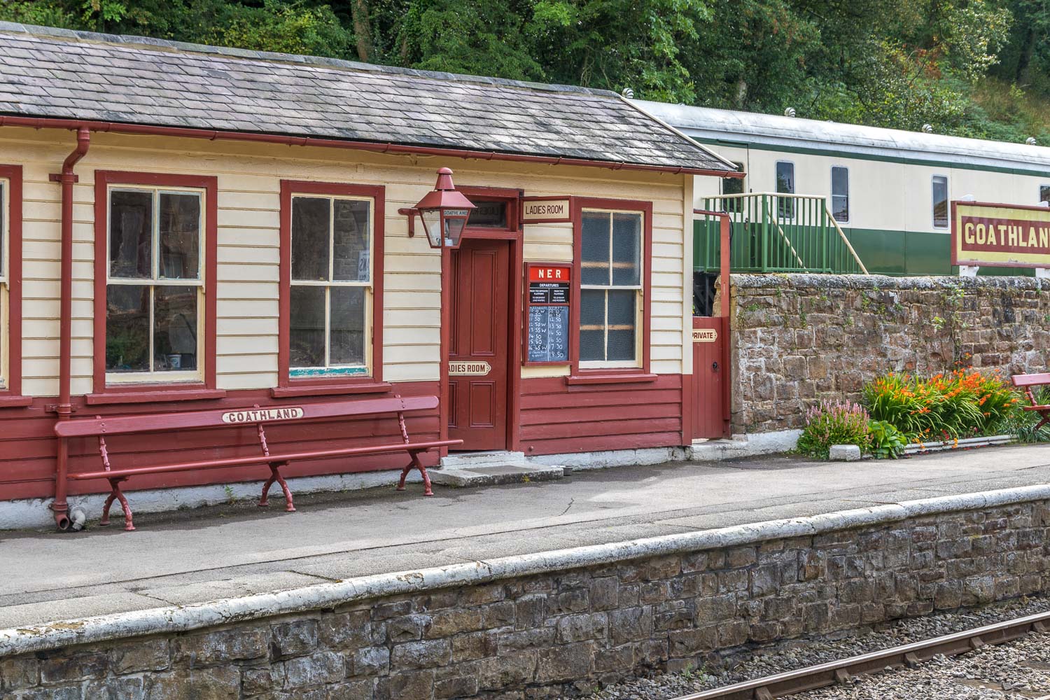
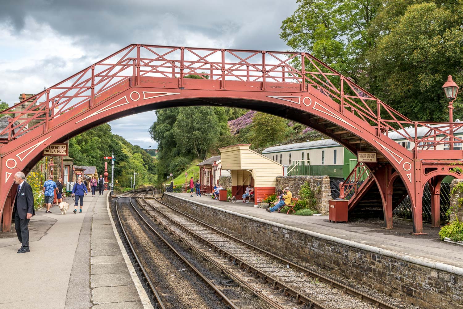
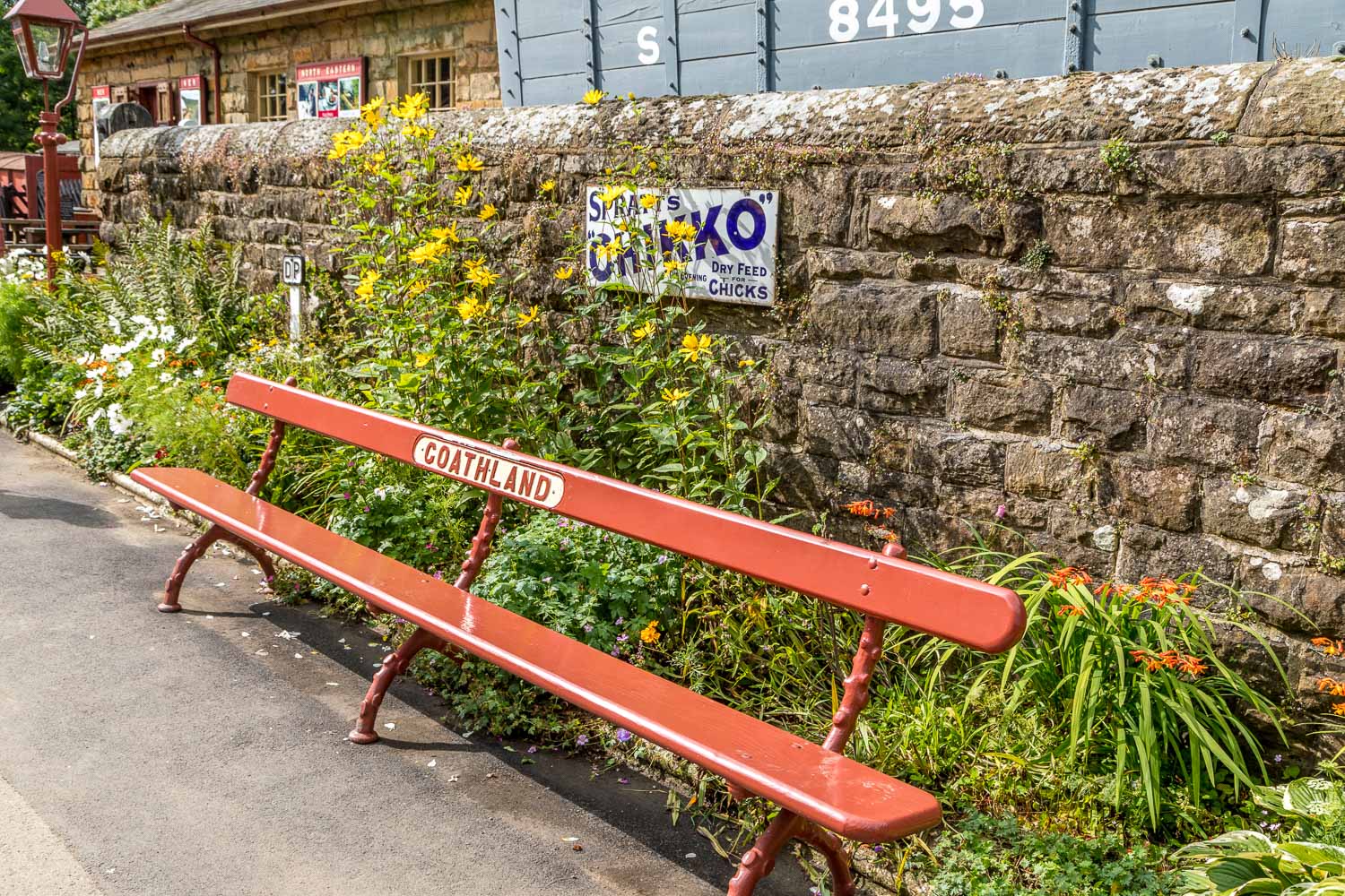
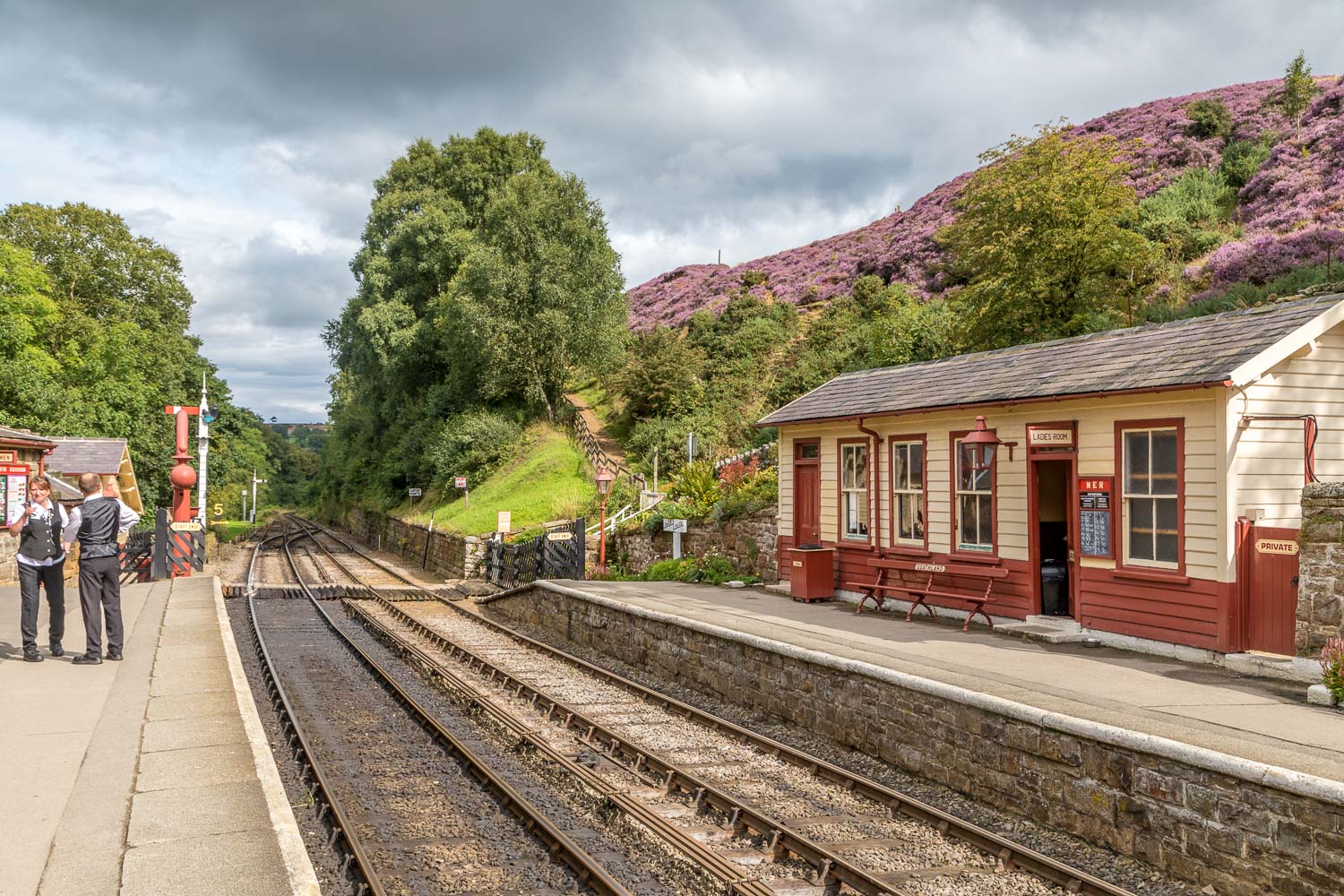
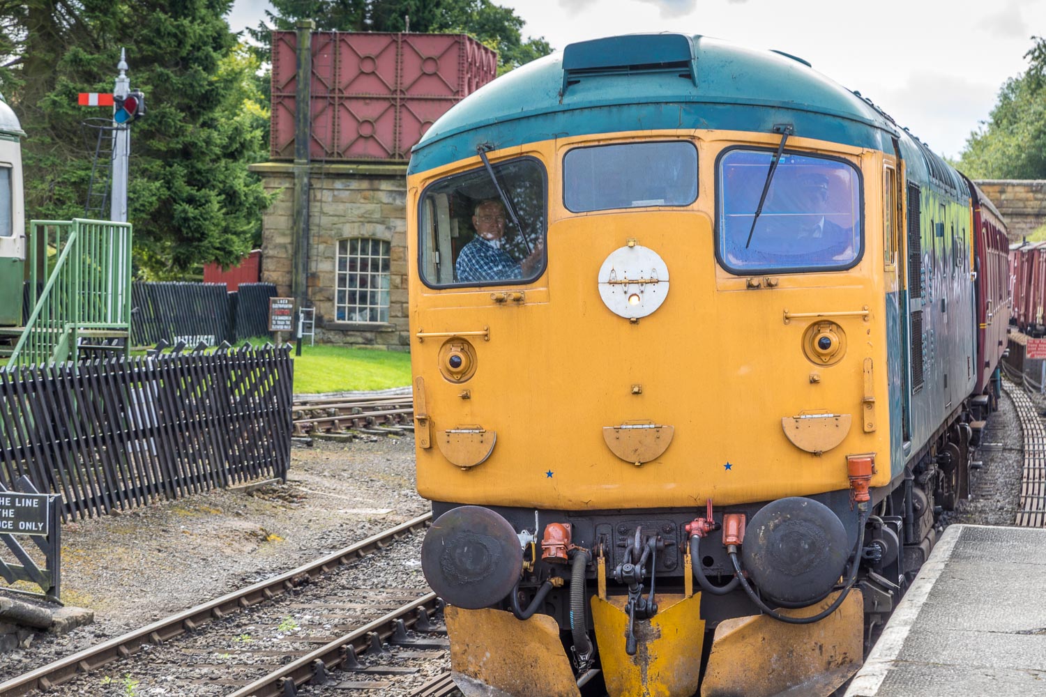
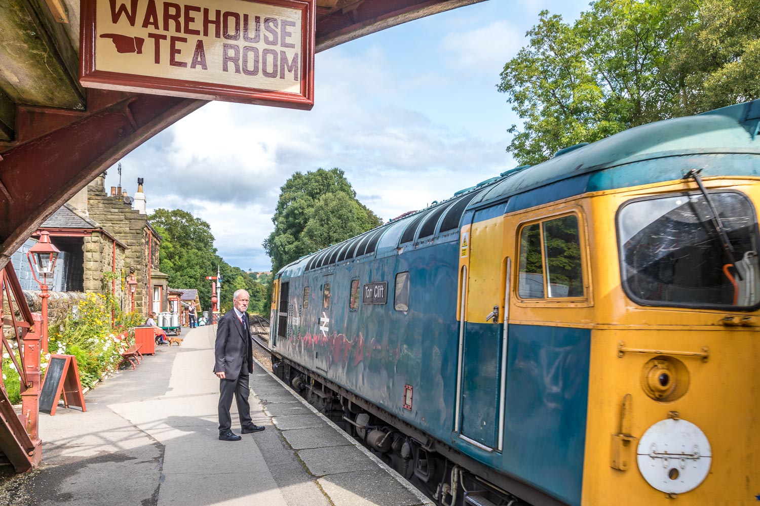
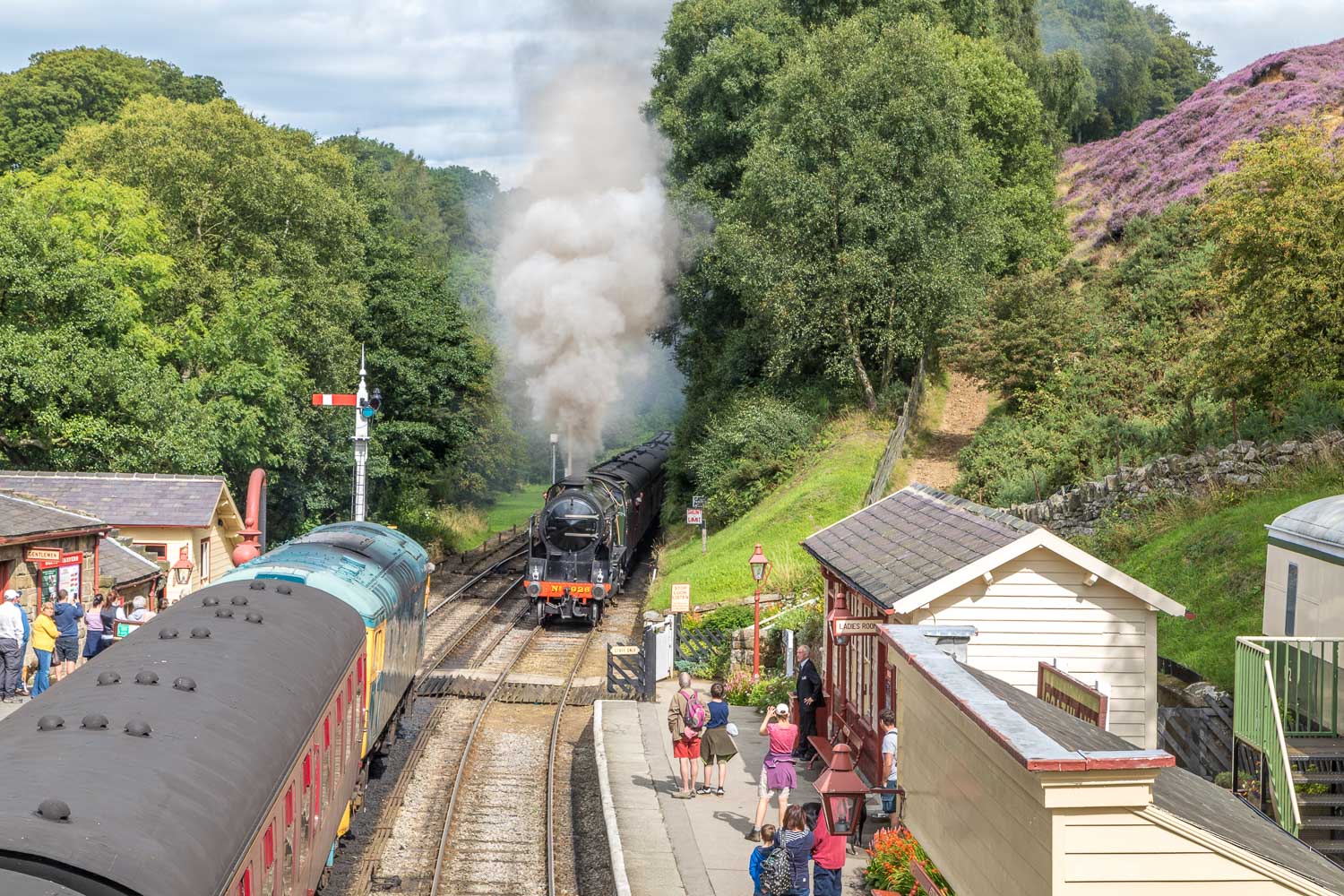
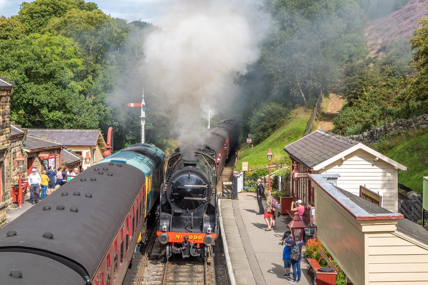
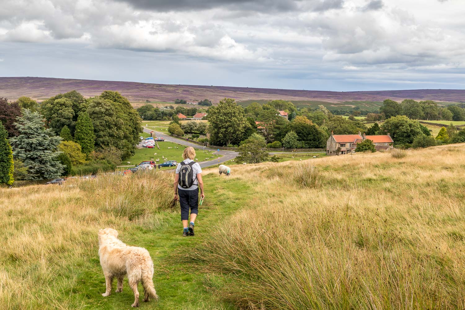
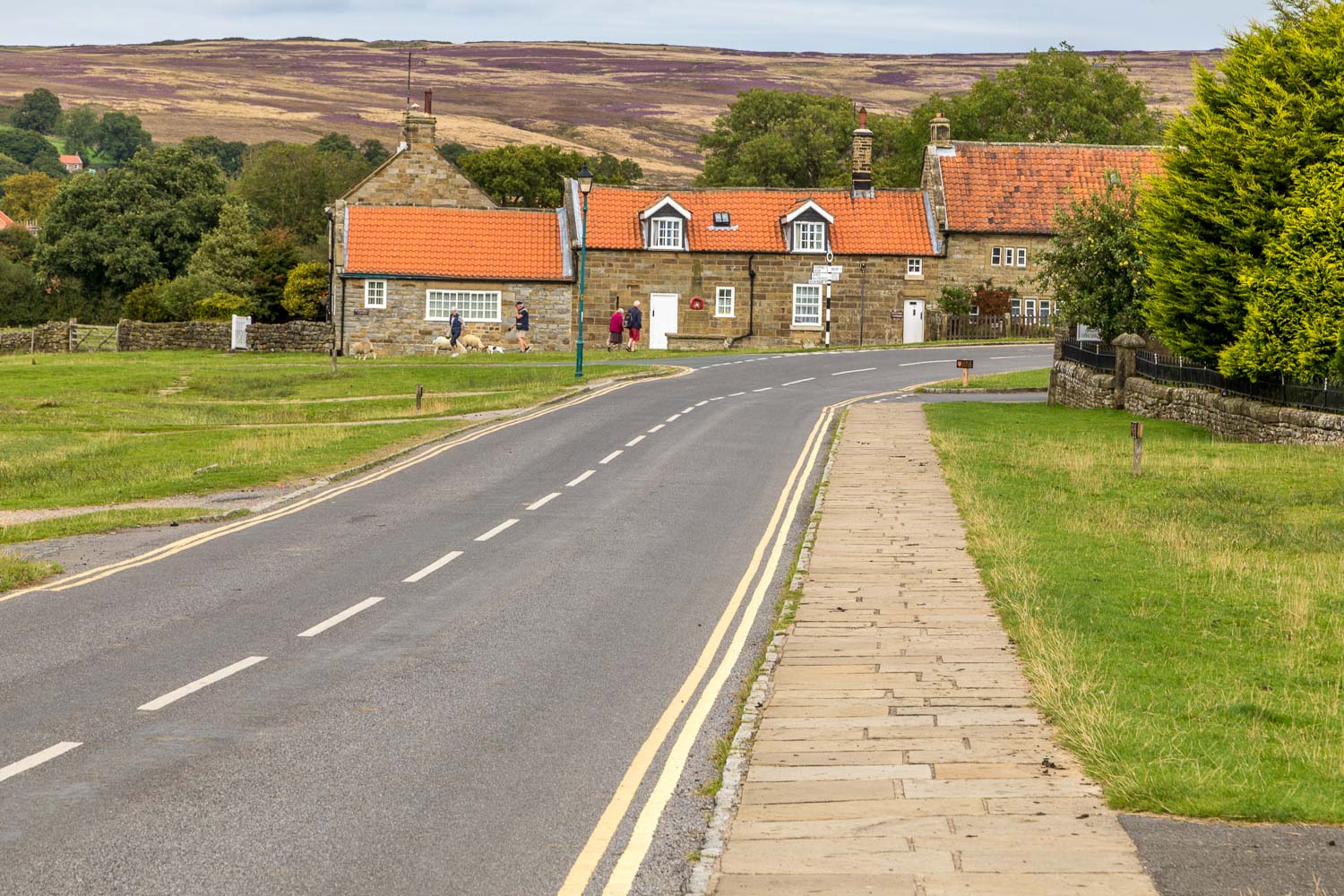
We parked in the public car park in the moorland village of Goathland, where the sheep graze the common land along the main street. The walk starts from the car park but before setting off we made a short detour to Goathland Railway Station in the hope of seeing an old steam locomotive passing through. The train service is run by the North Yorkshire Moors Railway Trust which cares for this historic line, running between Pickering and Grosmont. One cup of coffee later ‘Repton’, which entered service in 1934, appeared in the distance and halted at the station – a wonderful sight
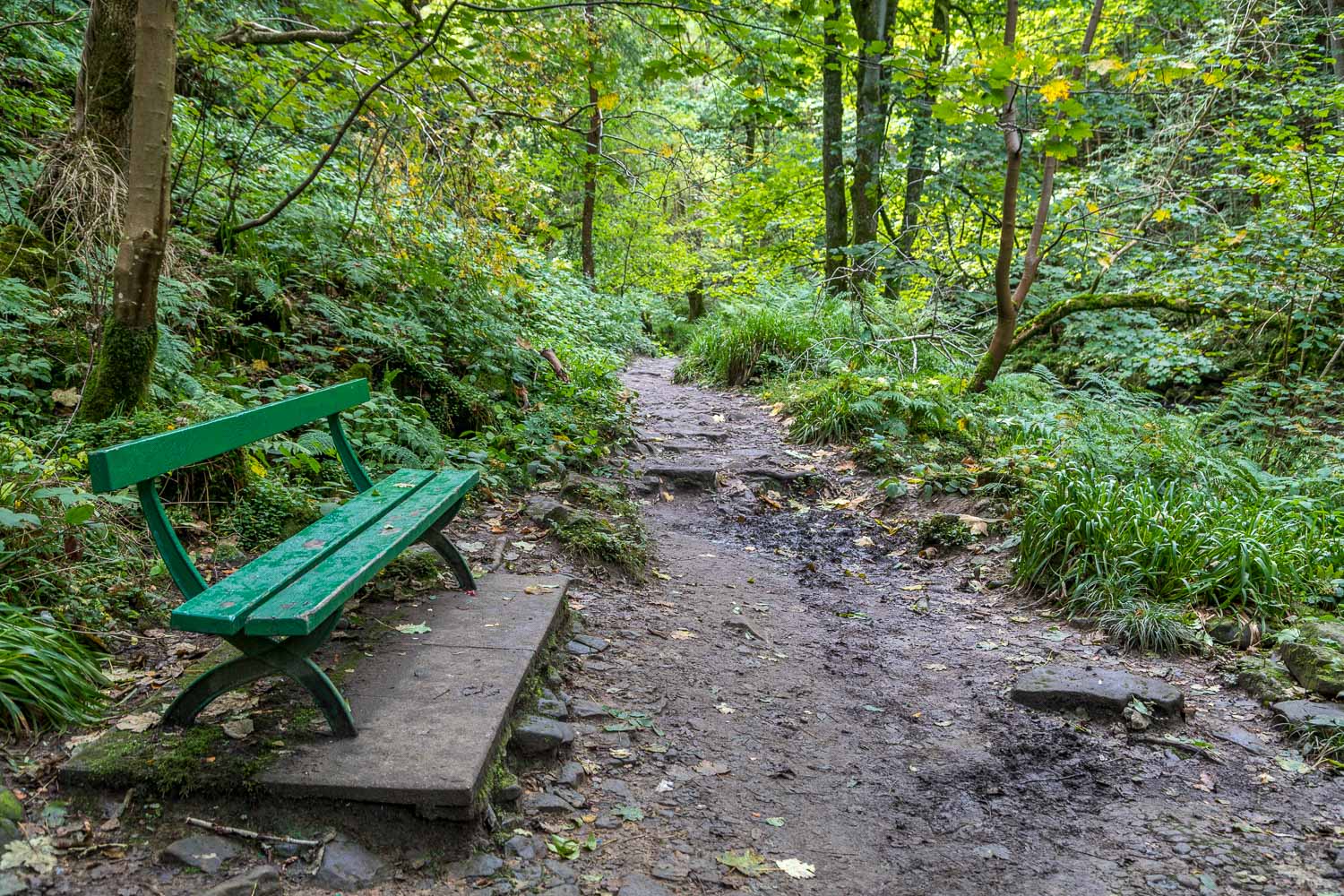
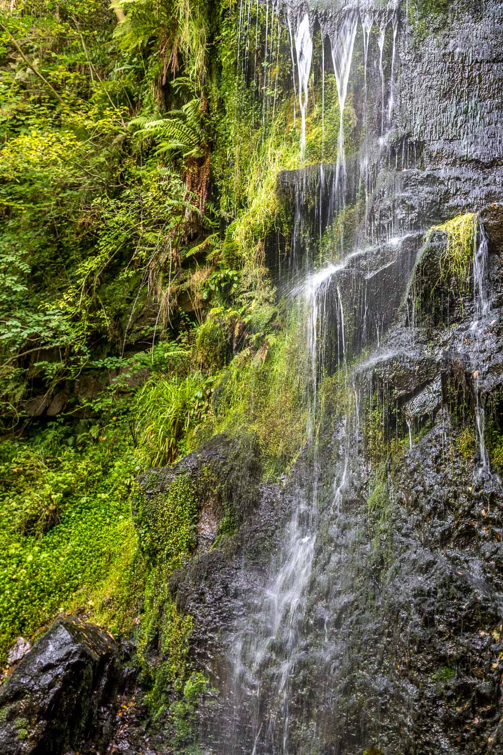
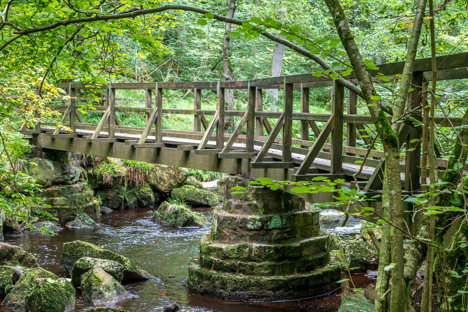
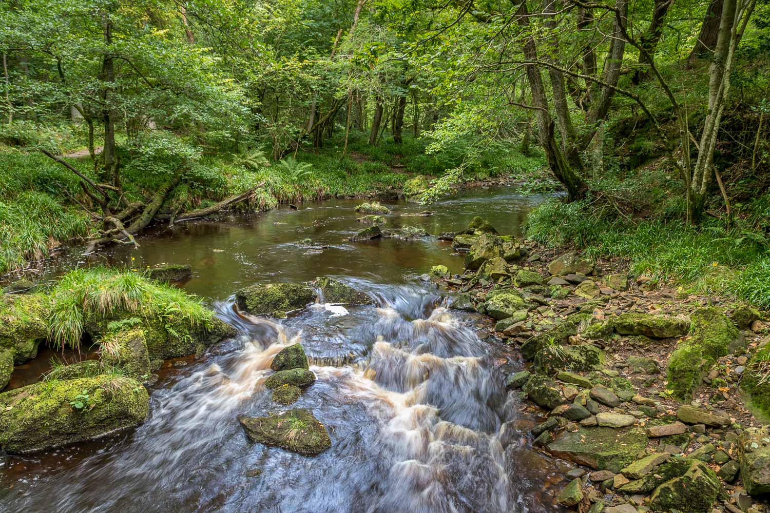
We returned to the car park and descended to Beck Hole along the route of the old railway line. The climb between Beck Hole and Goathland was a major obstacle for the engineers and the gradient meant that carriages had to be hauled up by cable. Beyond Beck Hole we entered into the gorge above West Beck in order to view Mallyan Spout, an impressive 70ft waterfall. We continued along the gorge and as we did so the going became progressively more difficult, not helped by yesterday’s heavy rain. We’ve walked the gorge path several times before but it’s now become badly eroded, to the extent that I recommend anyone following this walk to take an alternative route, turning left up the valley beyond the waterfall and taking a higher path above New Wath Scar. We found this lower section of the walk to be unpleasant, being partly over slippery rocks and boulders, and partly over an exceptionally muddy narrow path, with a high risk of slipping down the banks into the beck below
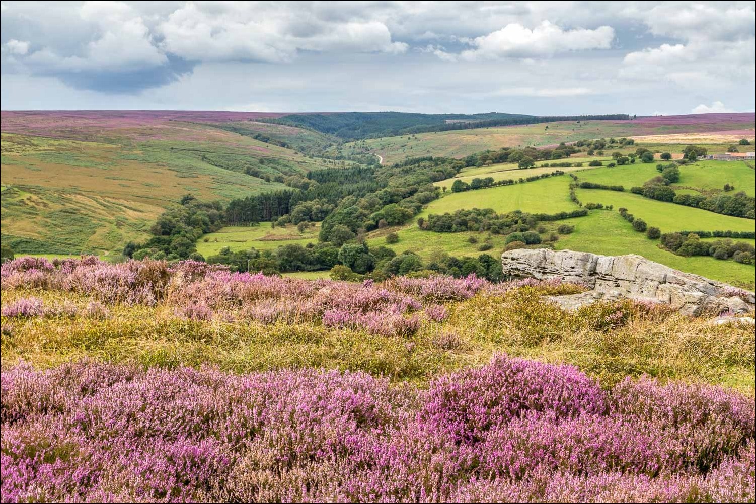
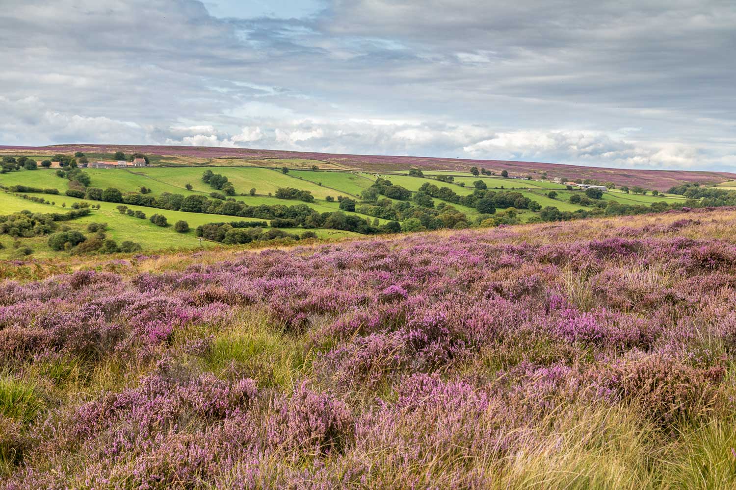
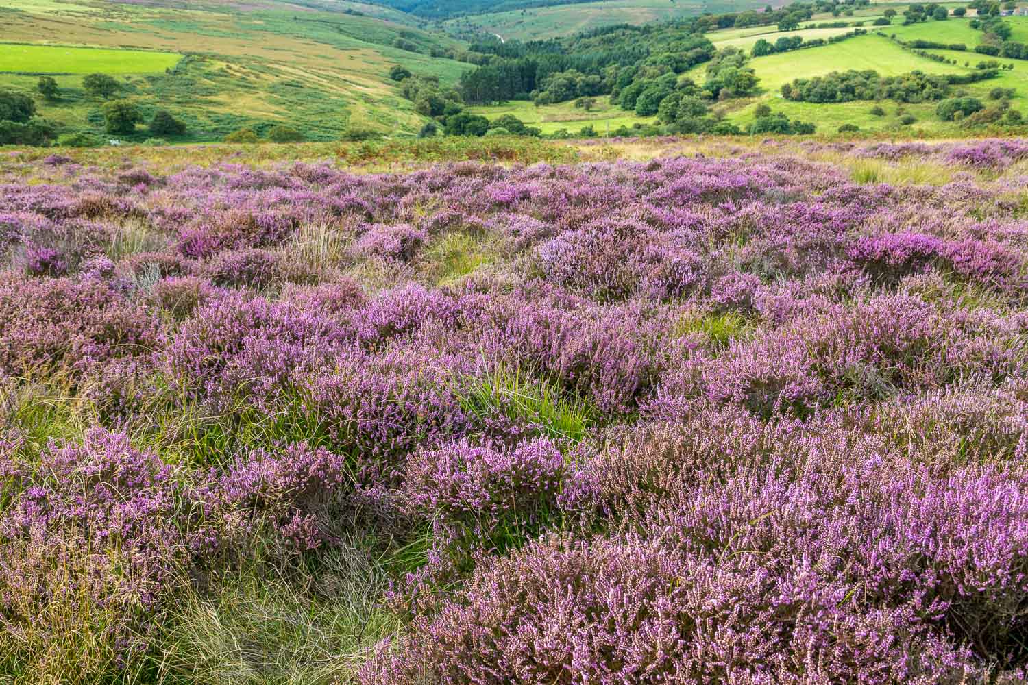
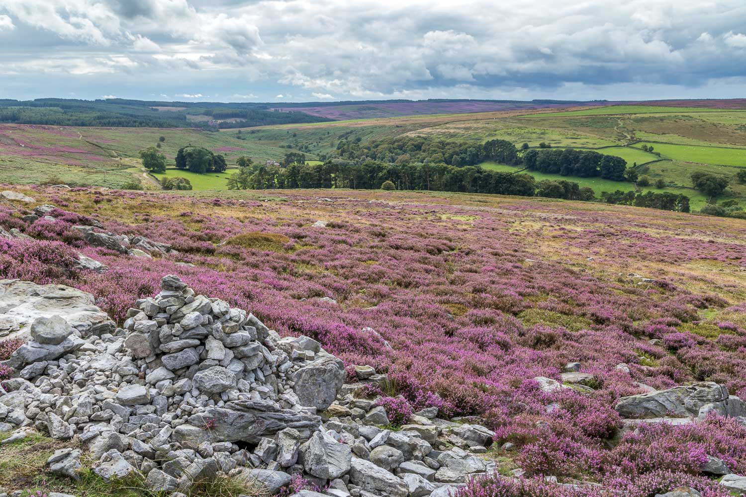
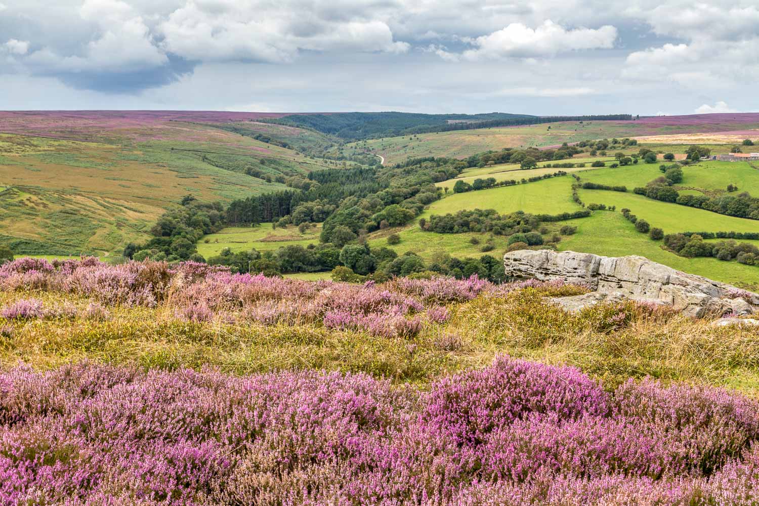
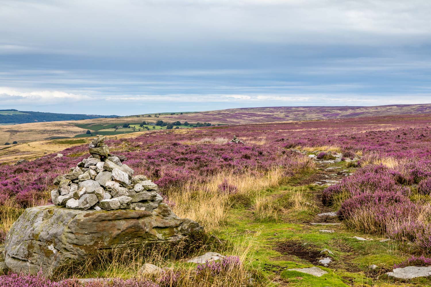
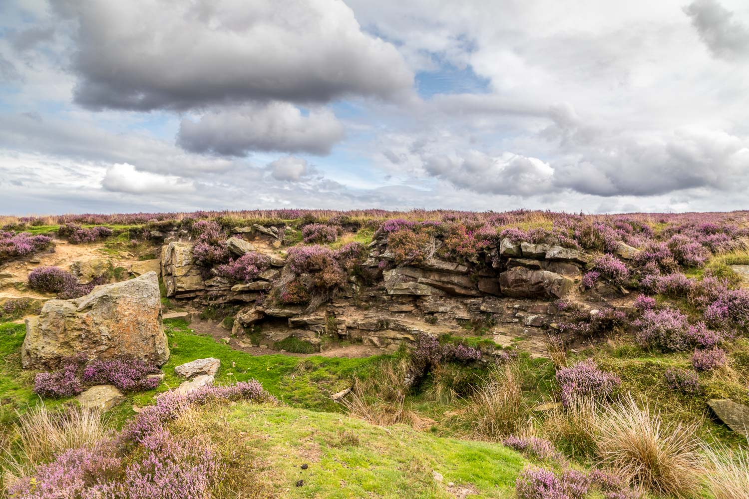
It was a relief to finally emerge from the gorge near Hazel Head, where a descent into the valley and a climb up the other side took us onto open moorland. This was a delightful section, with the heather in full bloom as we strode out across the moors back to Goathland. It had been superb walk, full of interest all the way, though I’ll circumvent the section beyond Mallyan Spout next time
For other walks here, visit my Find Walks page and enter the name in the ‘Search site’ box
Click on the icon below for the route map (subscribers to OS Maps can view detailed maps of the route, visualise it in aerial 3D, and download the GPX file. Non-subscribers will see a base map)
Scroll down – or click on any photo to enlarge it and you can then view as a slideshow
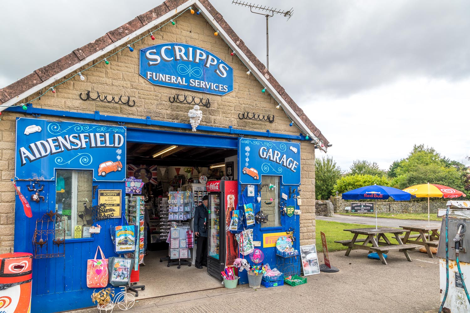
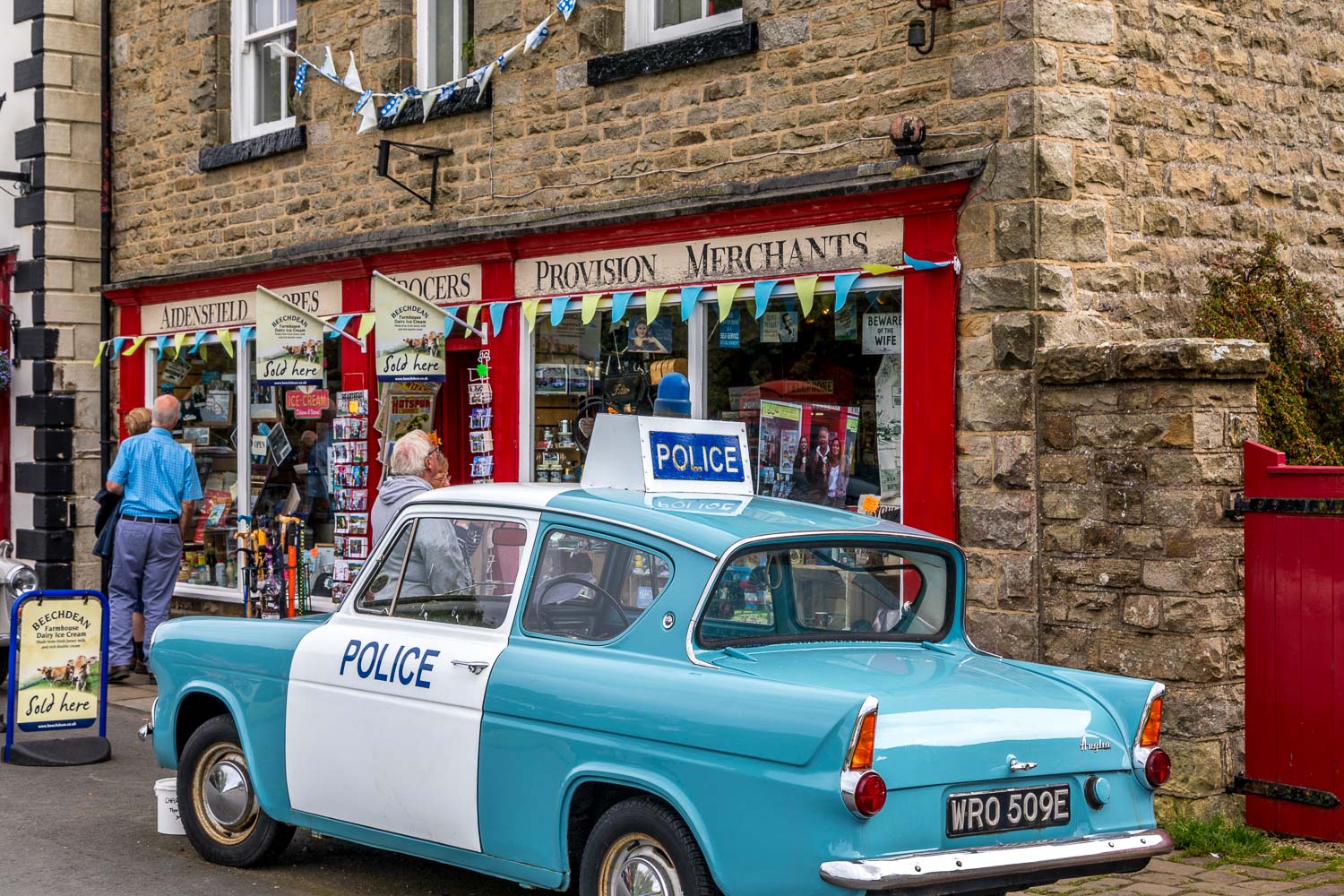
On the way to the station we walk past the garage - Goathland was the setting for the fictional village of Aidensfield in the Heartbeat television series set in the 1960s
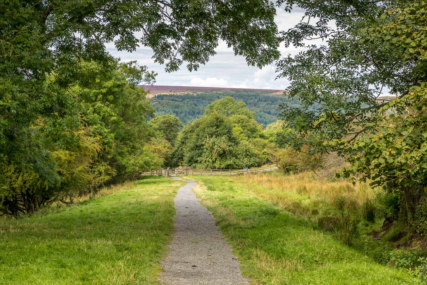
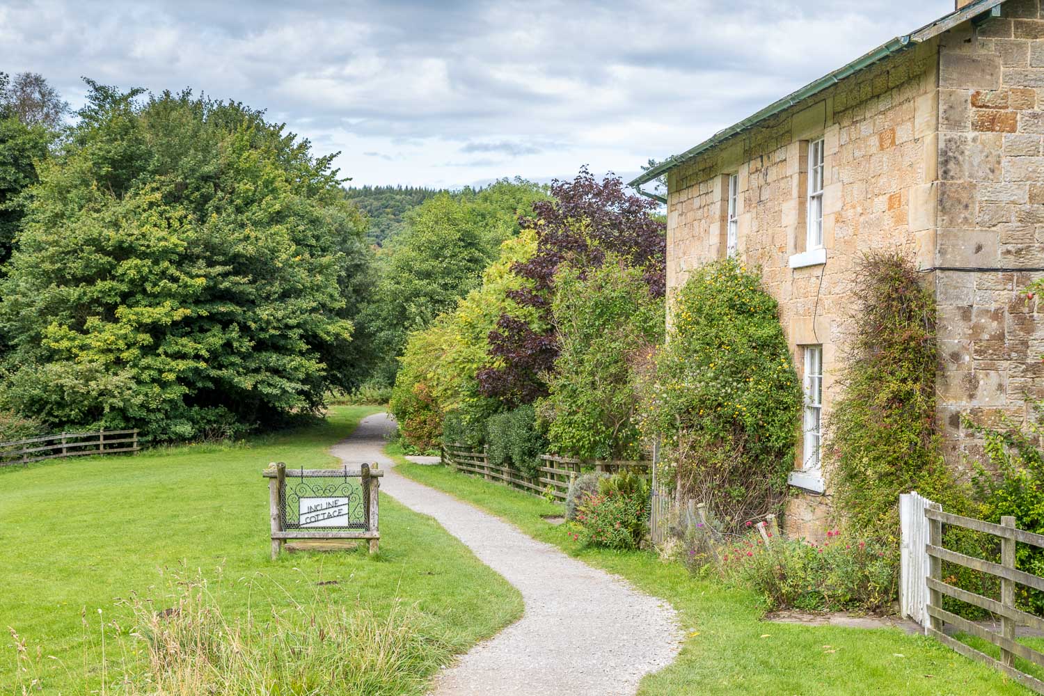
After that fascinating diversion we start the walk by following the route of the old line down to Beck Hole - locomotives had to be hauled up by cable on account of the incline
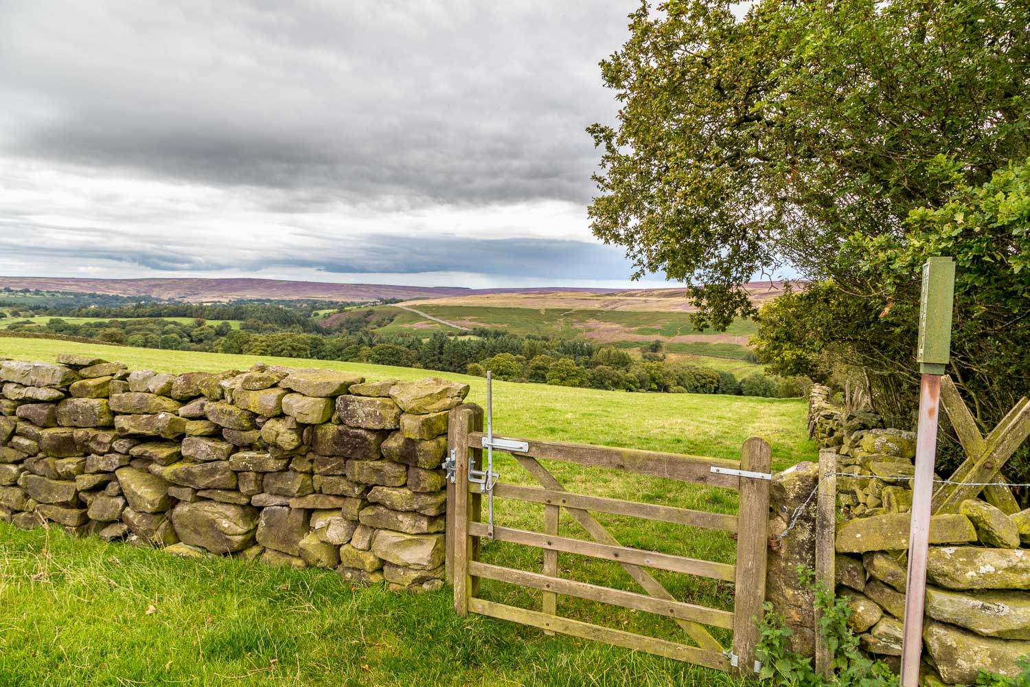
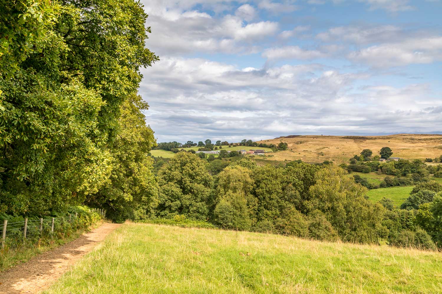
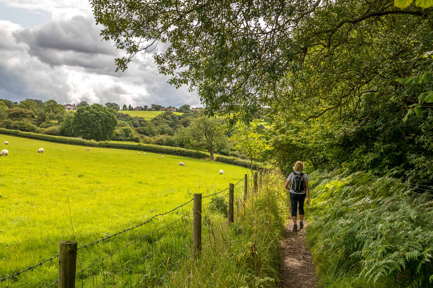
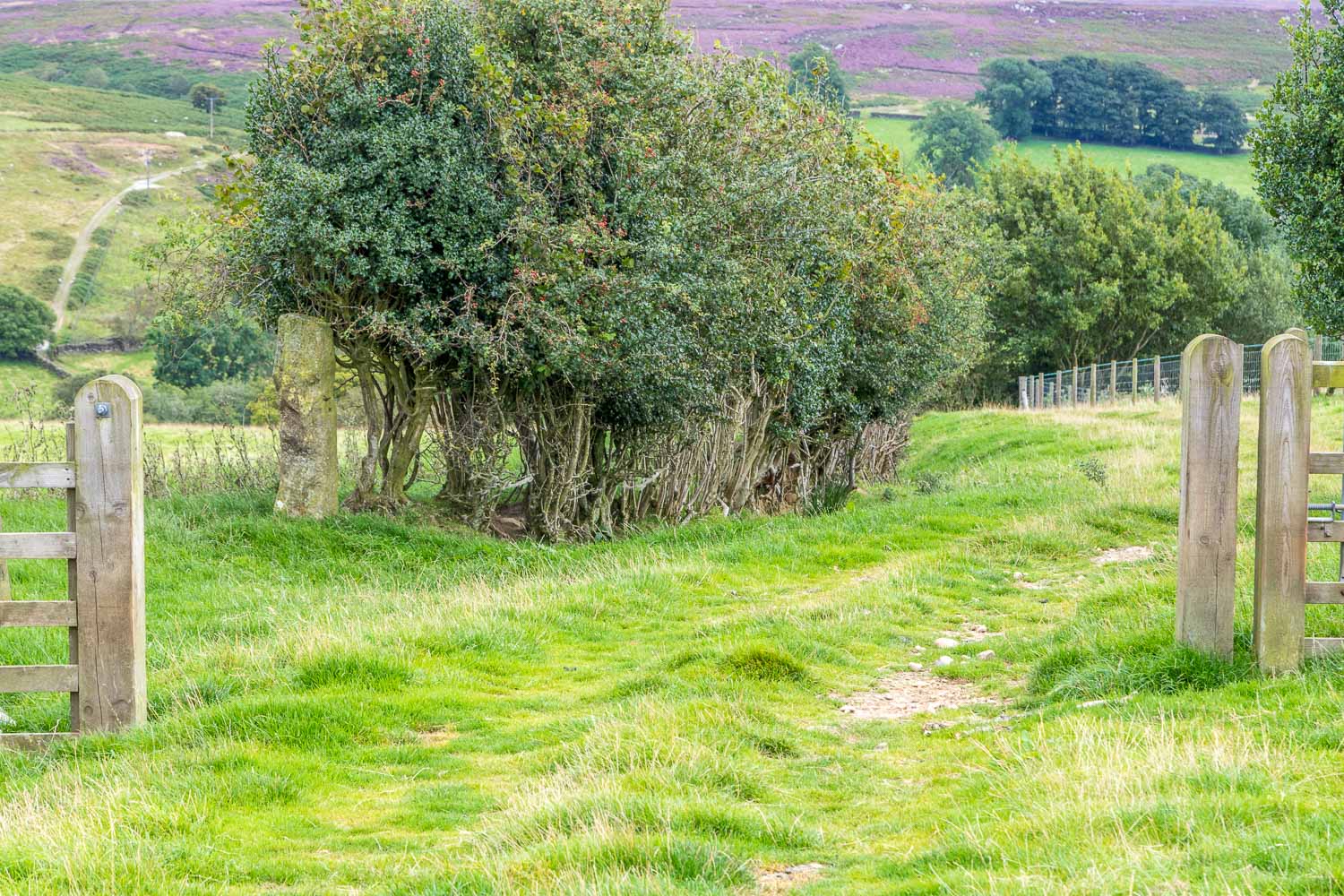
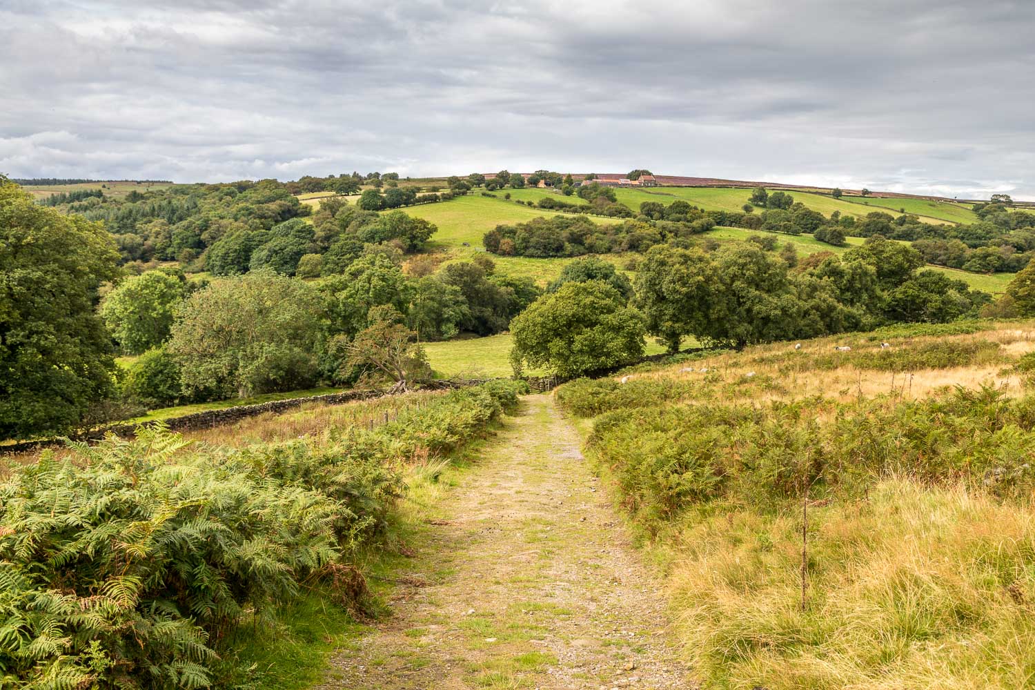
After the troublesome section mentioned in the introduction, we climb out of the gorge and walk along Hazel Head
