Route: Forge Valley and Raincliffe Woods
Area: North Yorkshire
Date of walk: 30th April 2015
Walkers: Andrew and Gilly
Distance: 8.3 miles
Weather: Sunshine and showers
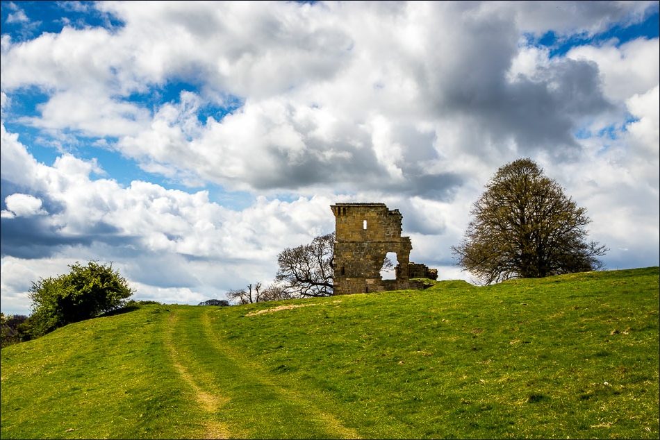
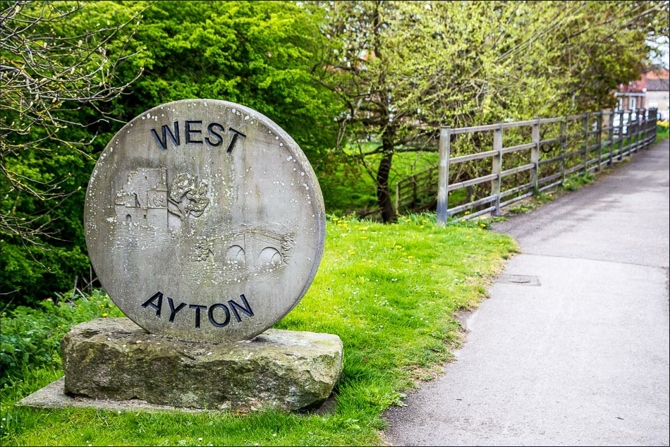
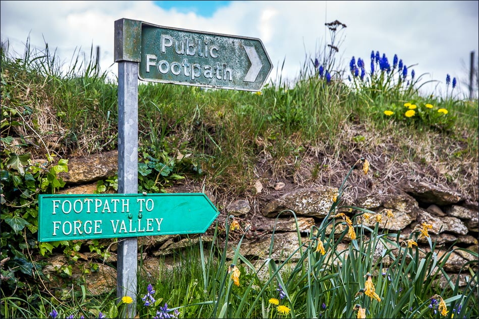
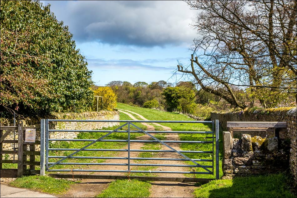
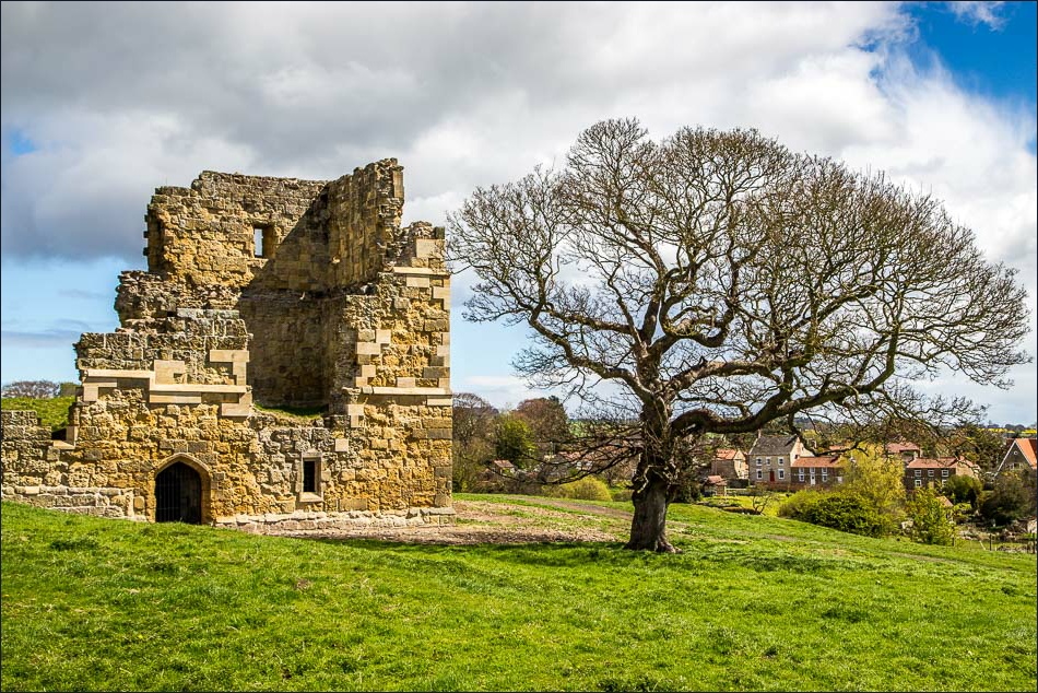
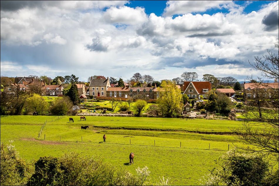
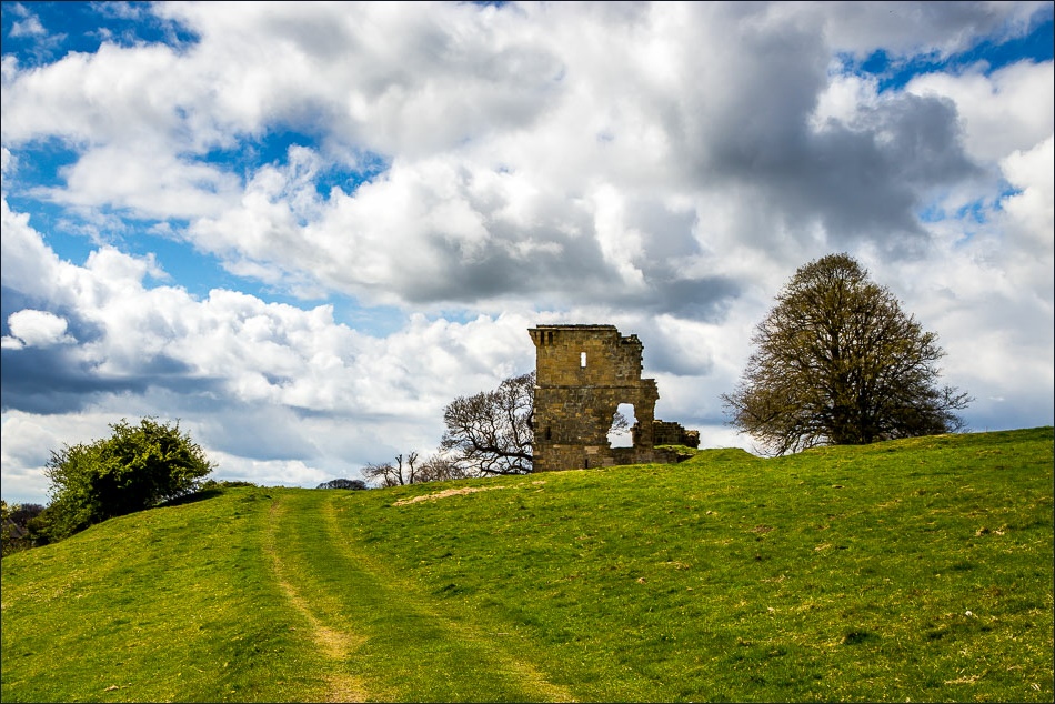
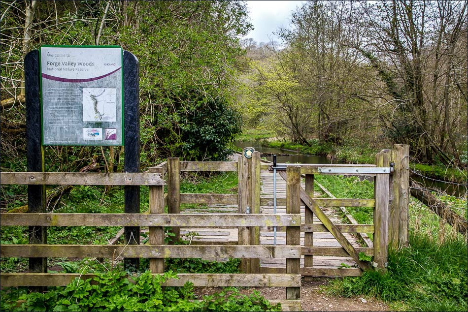
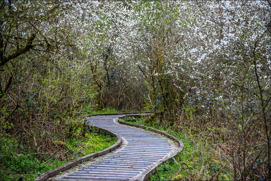
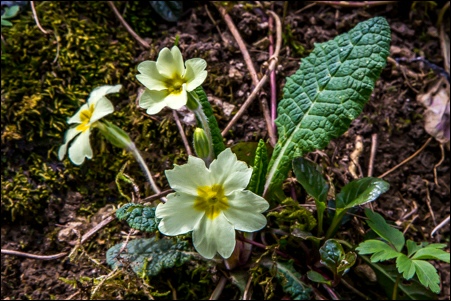
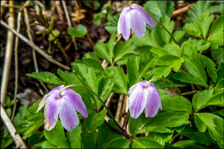
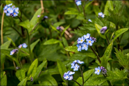
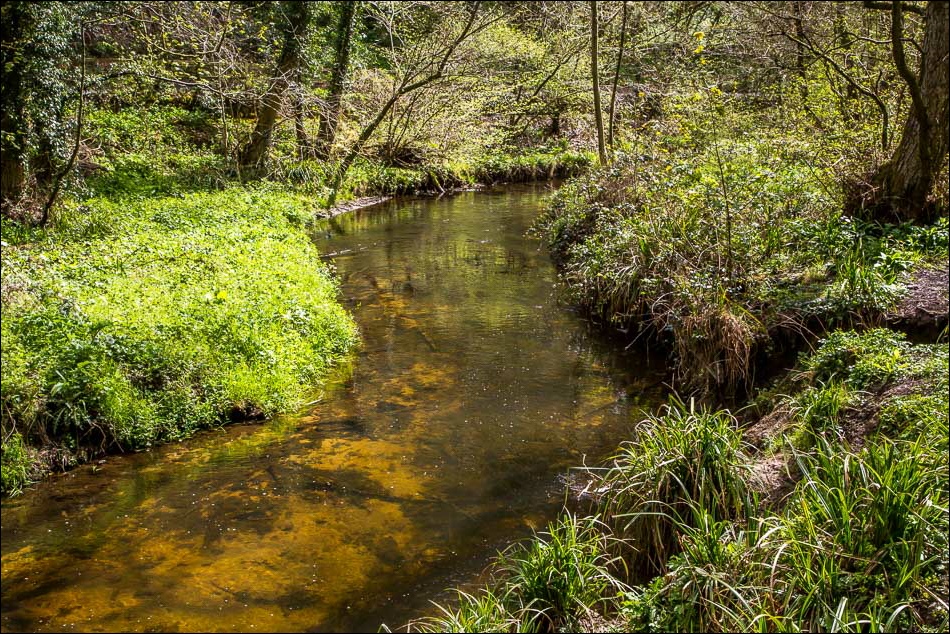
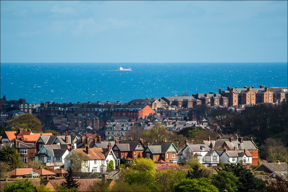
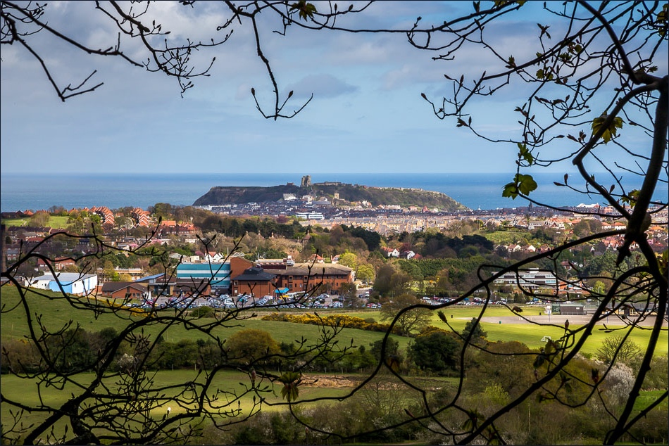
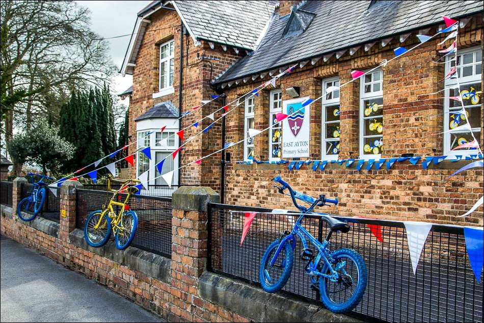
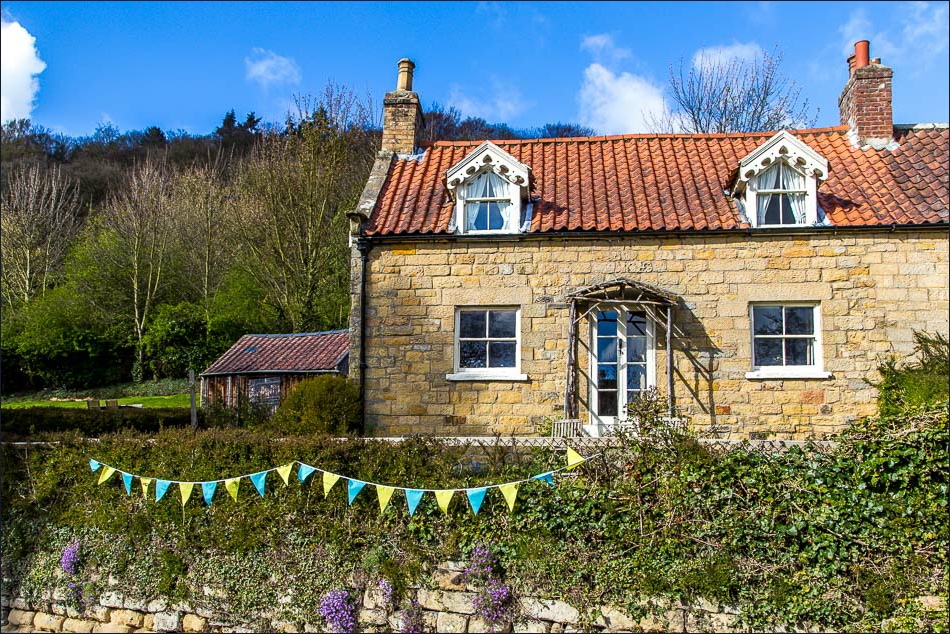
We parked in the village of East Ayton and walked past the evocative ruins of Ayton Castle. After passing through a field we entered into Forge Valley woods, where a boardwalk has been laid along the bank of the River Derwent, home to otter, trout and crayfish. Forge Valley is a National Nature Reserve and the walk along the riverside is one of our favourites – the path was lined with wildflowers and is full of interest, though we didn’t see any of the advertised otters or kingfishers
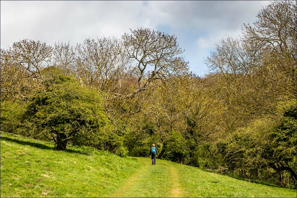
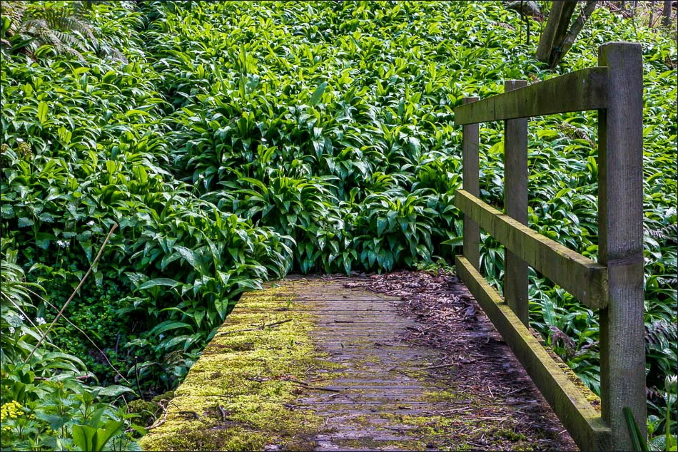
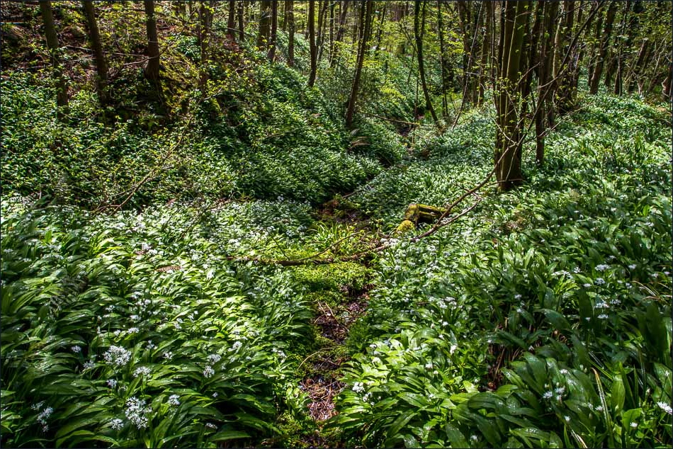
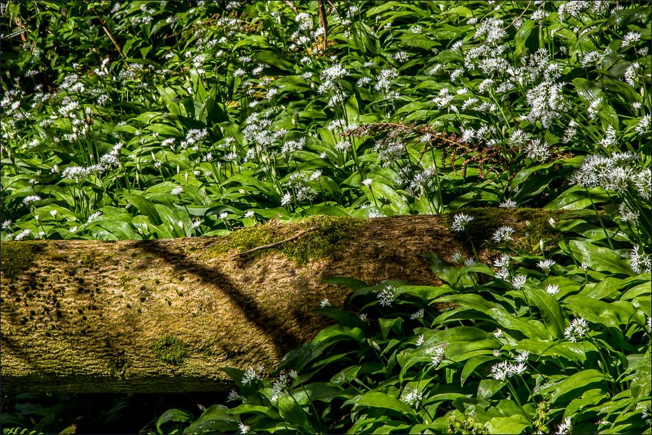
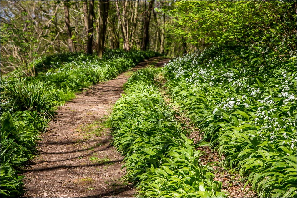
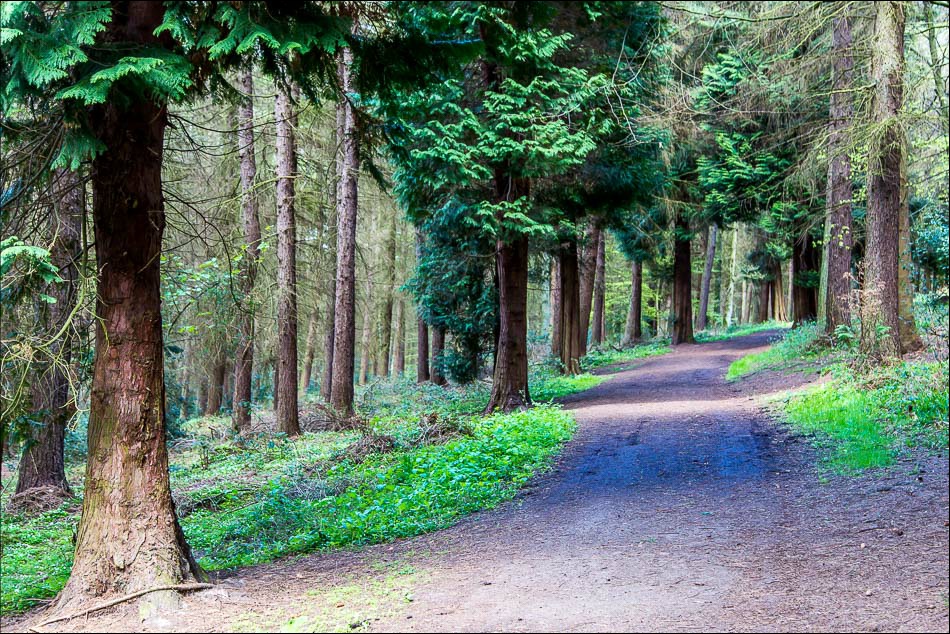
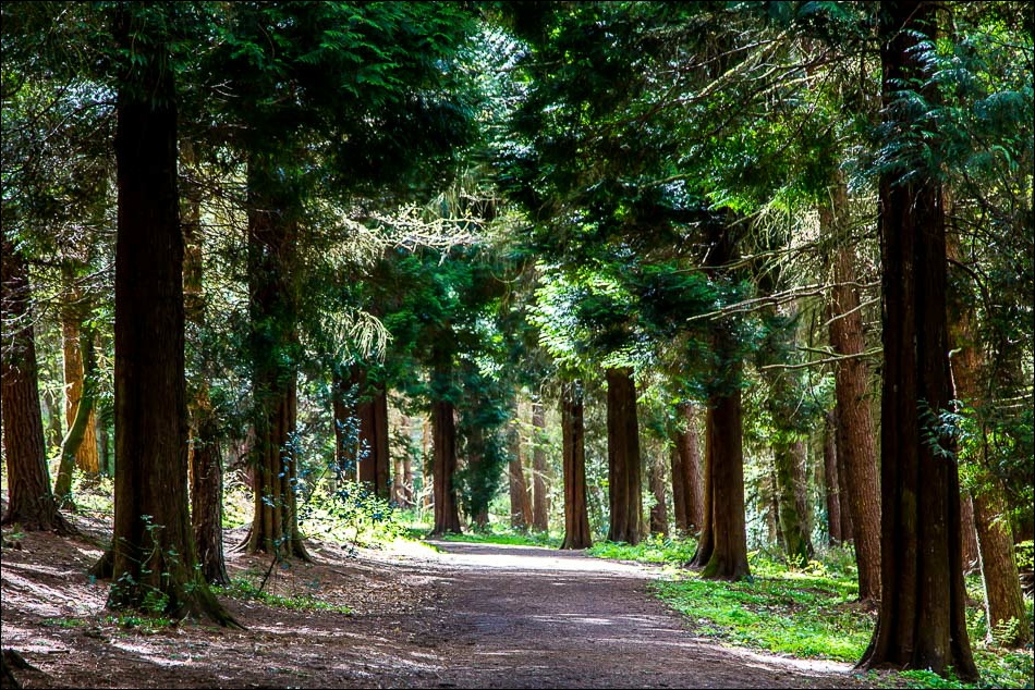
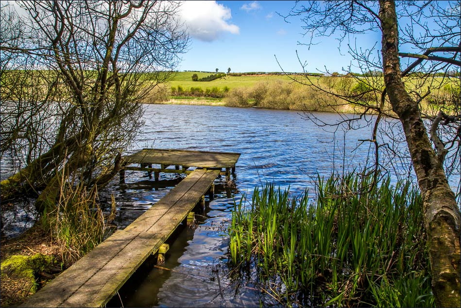
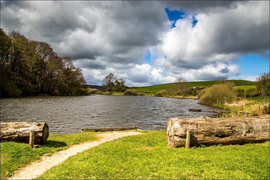
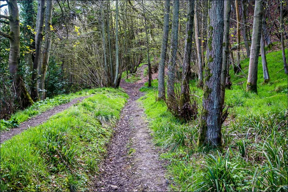
Near the end of the valley we crossed a footbridge and climbed uphill along a narrow path. Wild garlic was growing everywhere, a lovely sight and smell. This led us to Middle Road, a pedestrian track which runs through Raincliffe Woods, a 550 acre area of ancient woodland managed by members of the local community. There are numerous paths running through the woods, but we stayed on Middle Road until we eventually descended to Throxenby Mere, marking the half way point of the walk
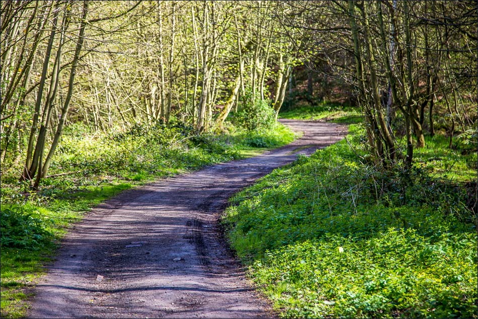
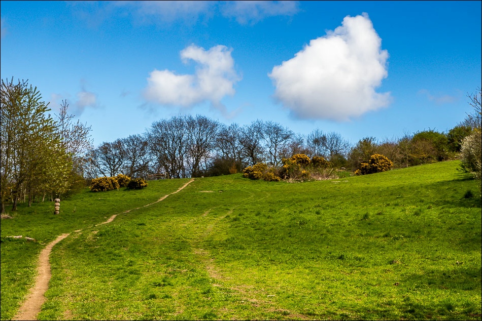
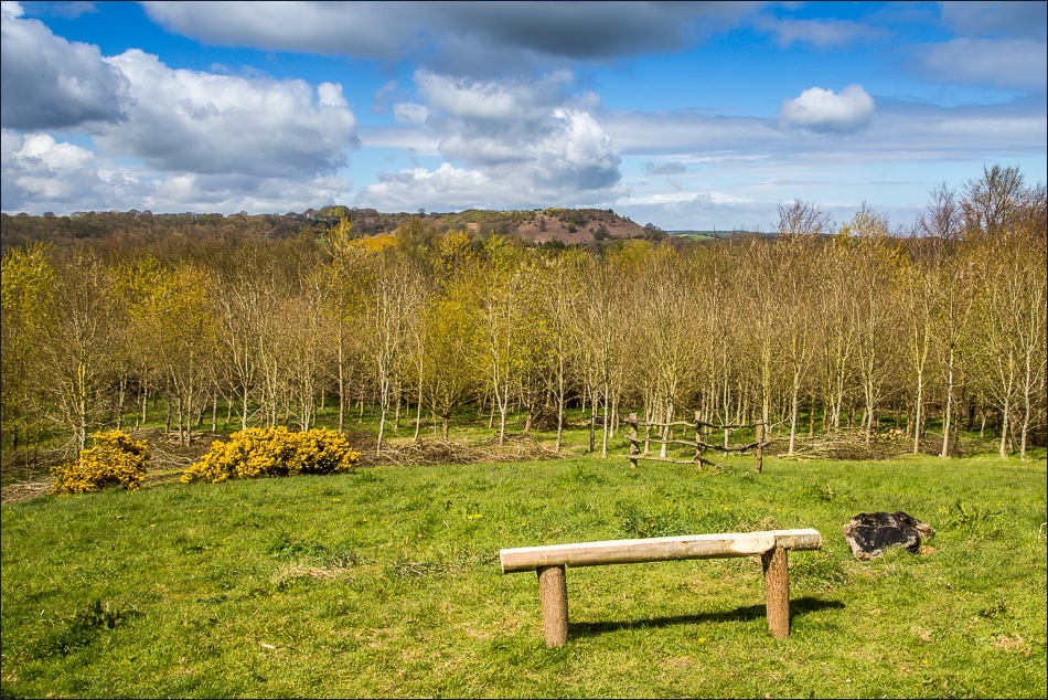
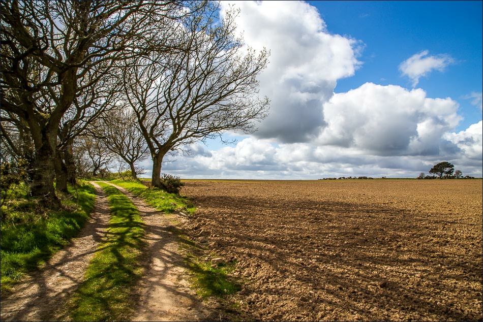
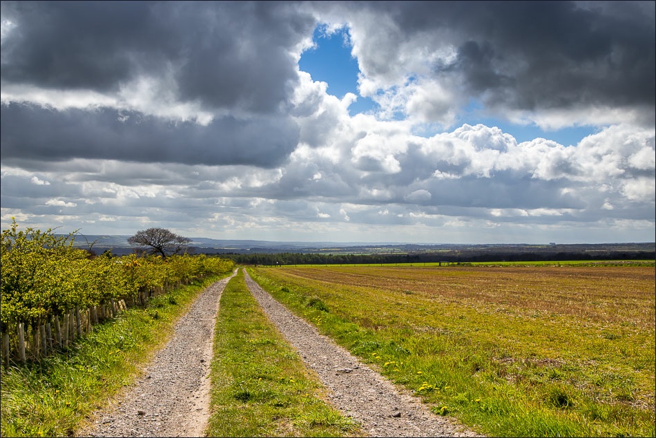
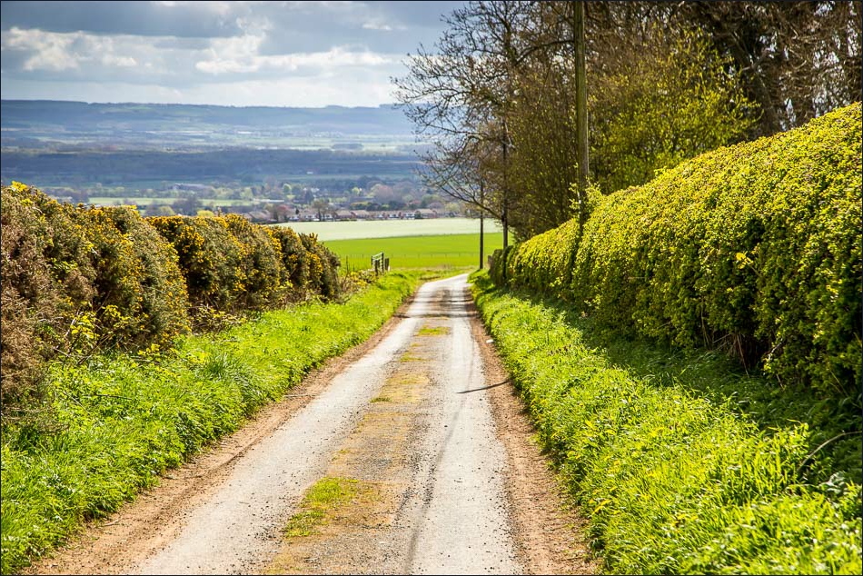
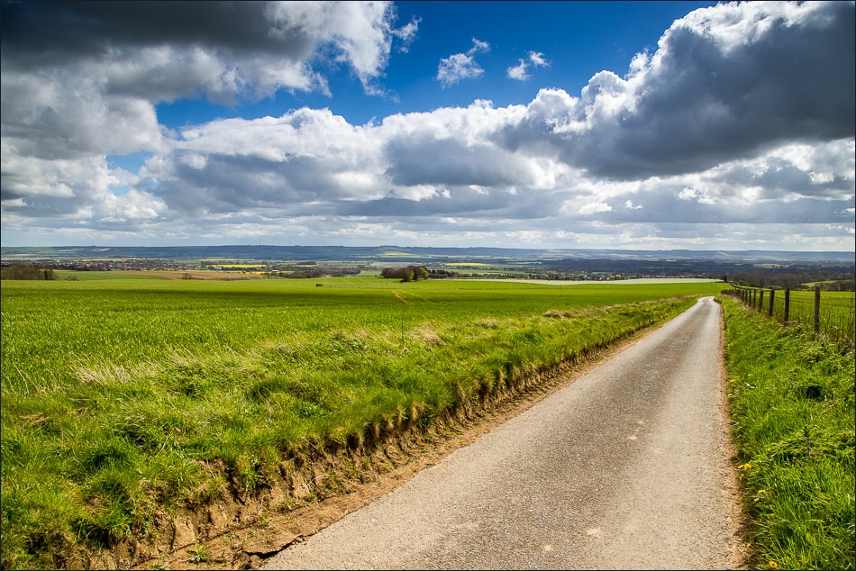
The return leg was a complete contrast to what had gone before. After climbing uphill along a muddy path, we emerged onto Seamer Moor, a high level plateau of farming land. The track over the moor headed gently downhill back into East Ayton – an easy and very pleasant way to end the walk
For other walks here, visit my Find Walks page and enter the name in the ‘Search site’ box
Click on the icon below for the route map (subscribers to OS Maps can view detailed maps of the route, visualise it in aerial 3D, and download the GPX file. Non-subscribers will see a base map)
Scroll down – or click on any photo to enlarge it and you can then view as a slideshow
