Route: Derwent Water
Area: North Western Lake District
Date of walk: 26th March 2018
Walkers: Andrew
Distance: 5.4 miles
Ascent: 700 feet
Weather: Patchy sunshine
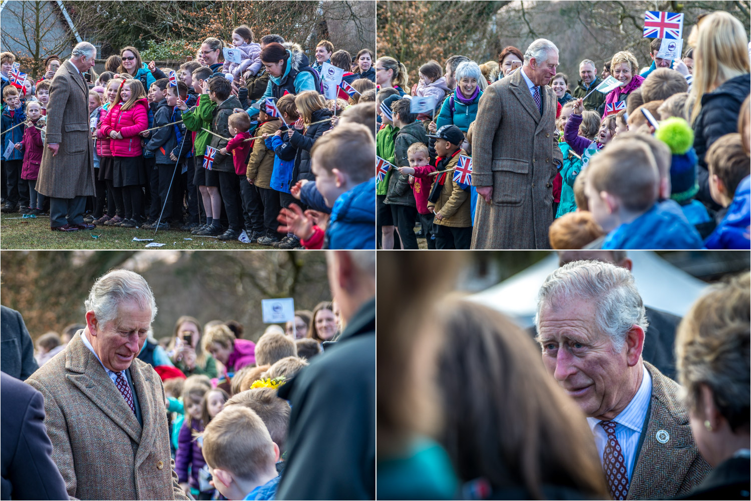
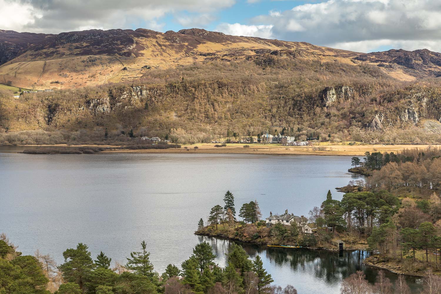
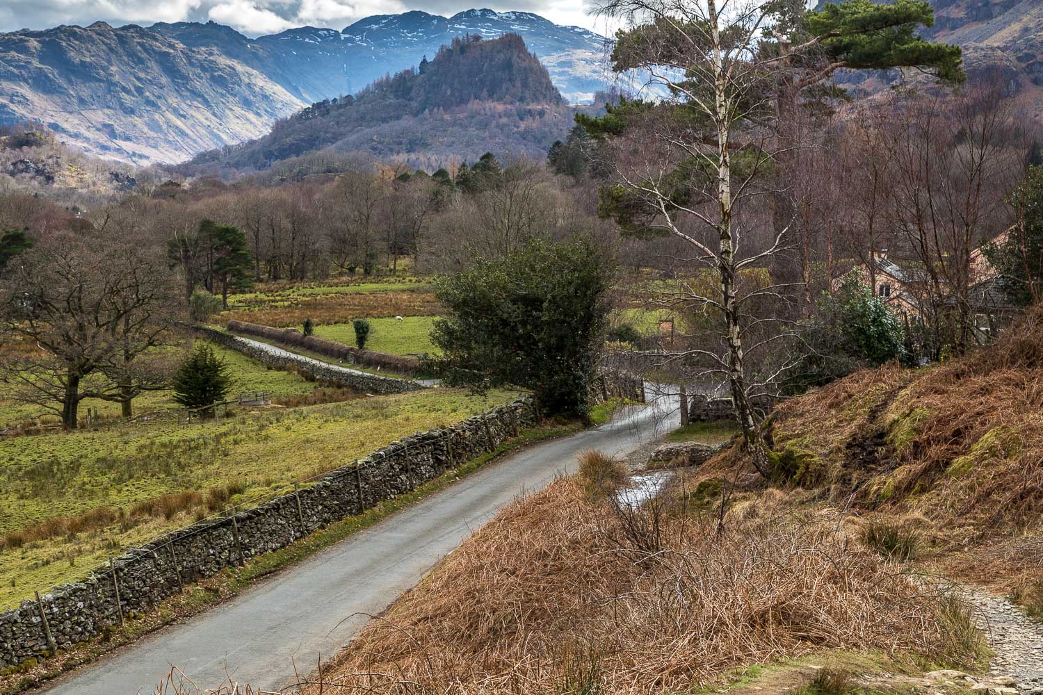
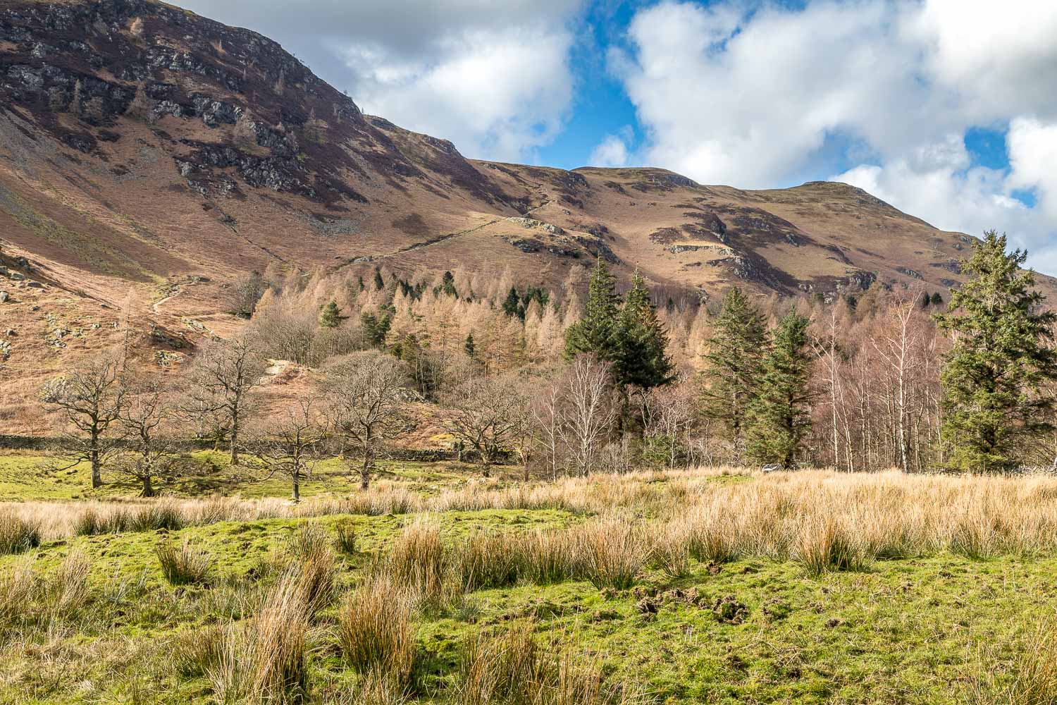
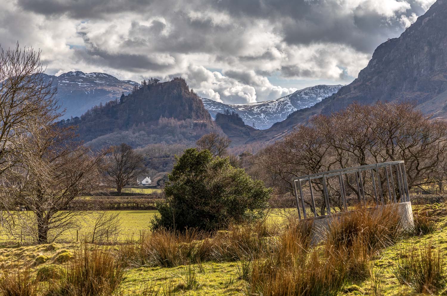
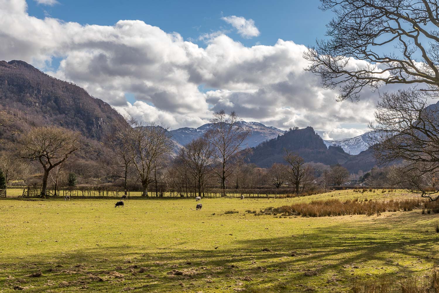
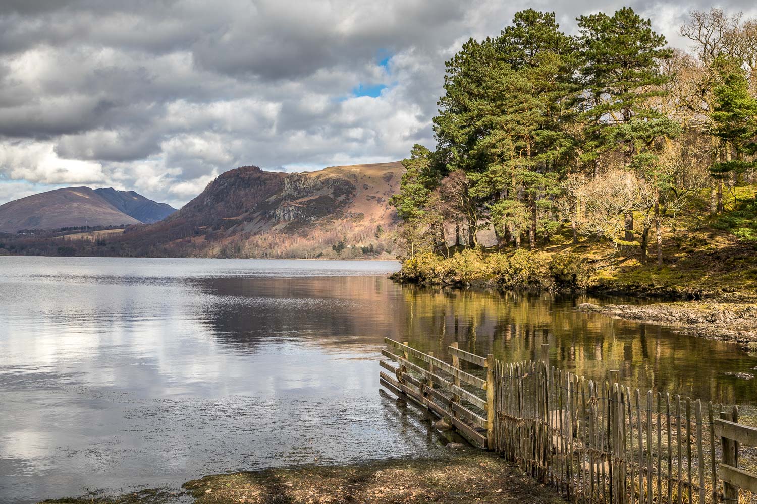
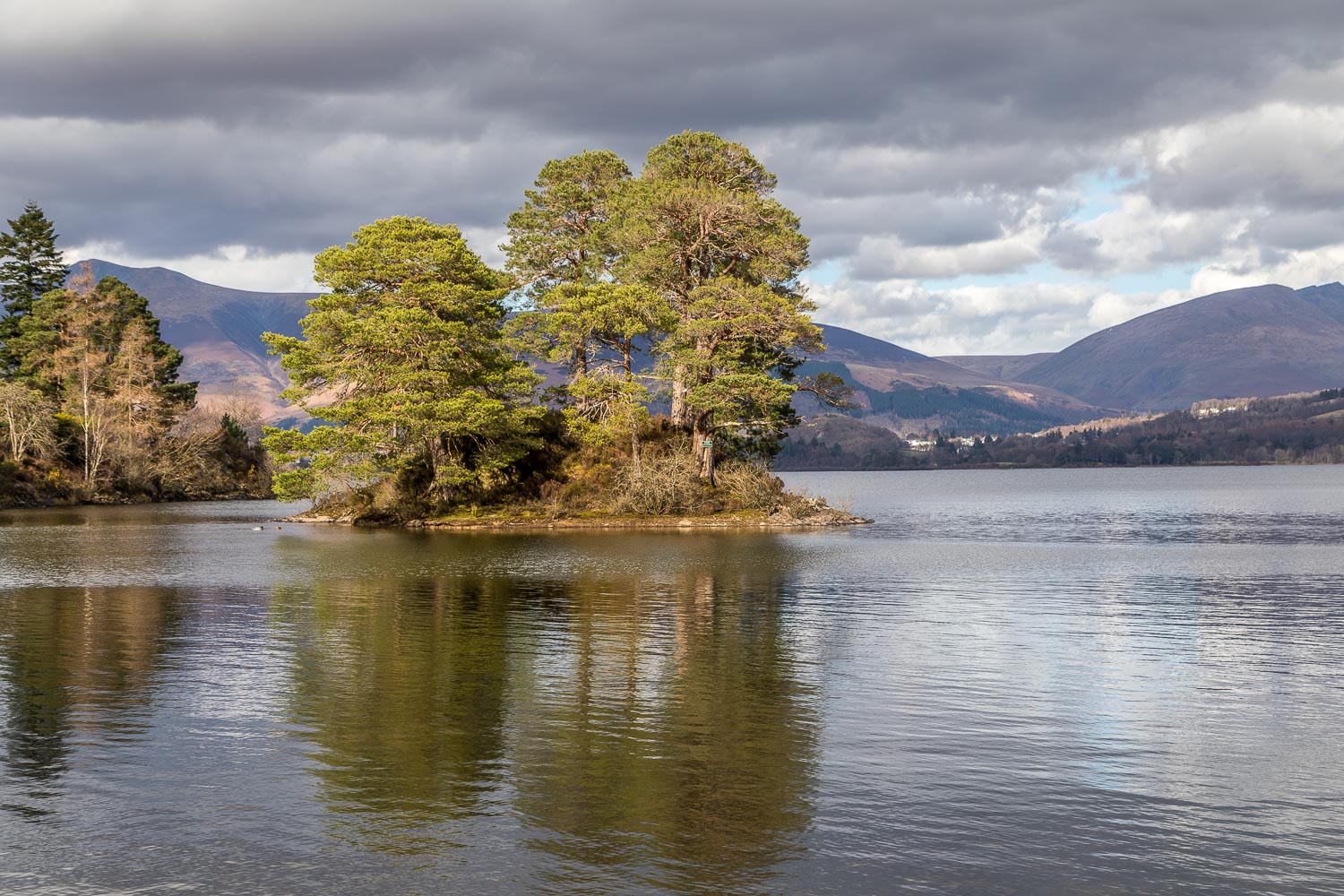
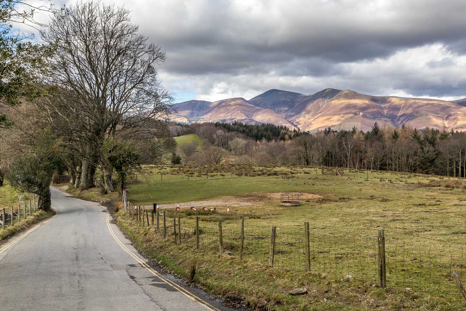
Earlier in the day I’d been invited by the Lake District National Park Authority to a special event in Keswick – I’ll let the photos tell the story. There was still time for an afternoon walk and in view of what had happened earlier it seemed appropriate to remain in the Keswick area. I could think of no better choice than a walk along the west shore of Derwent Water
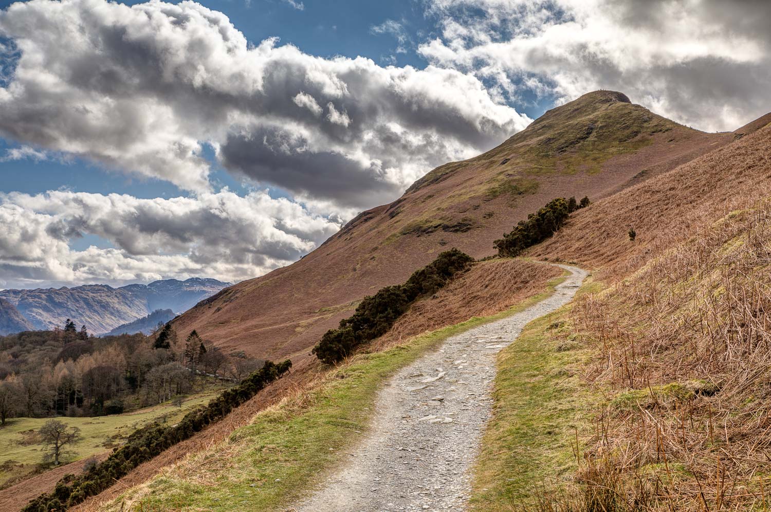
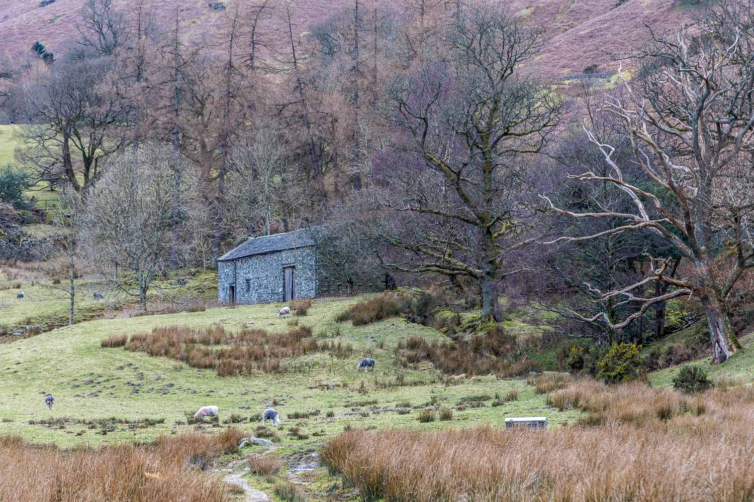
I parked near the foot of Cat Bells, where there are various limited roadside spaces. I was lucky to find one, as Cat Bells is one of the most popular fells in the district and not a good choice for a walk at peak times if you favour some solitude on walks, as I do. Today was one of those peak times, the build up to Easter, and people were marching up the fell like a line of soldier ants. Sorry but that’s not for me
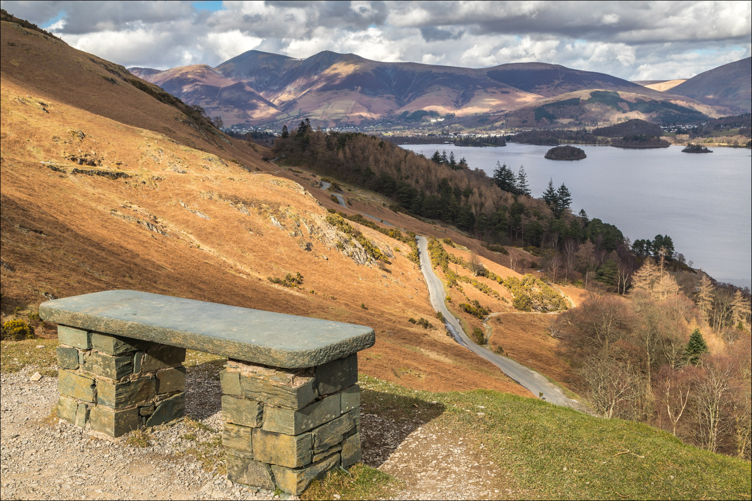
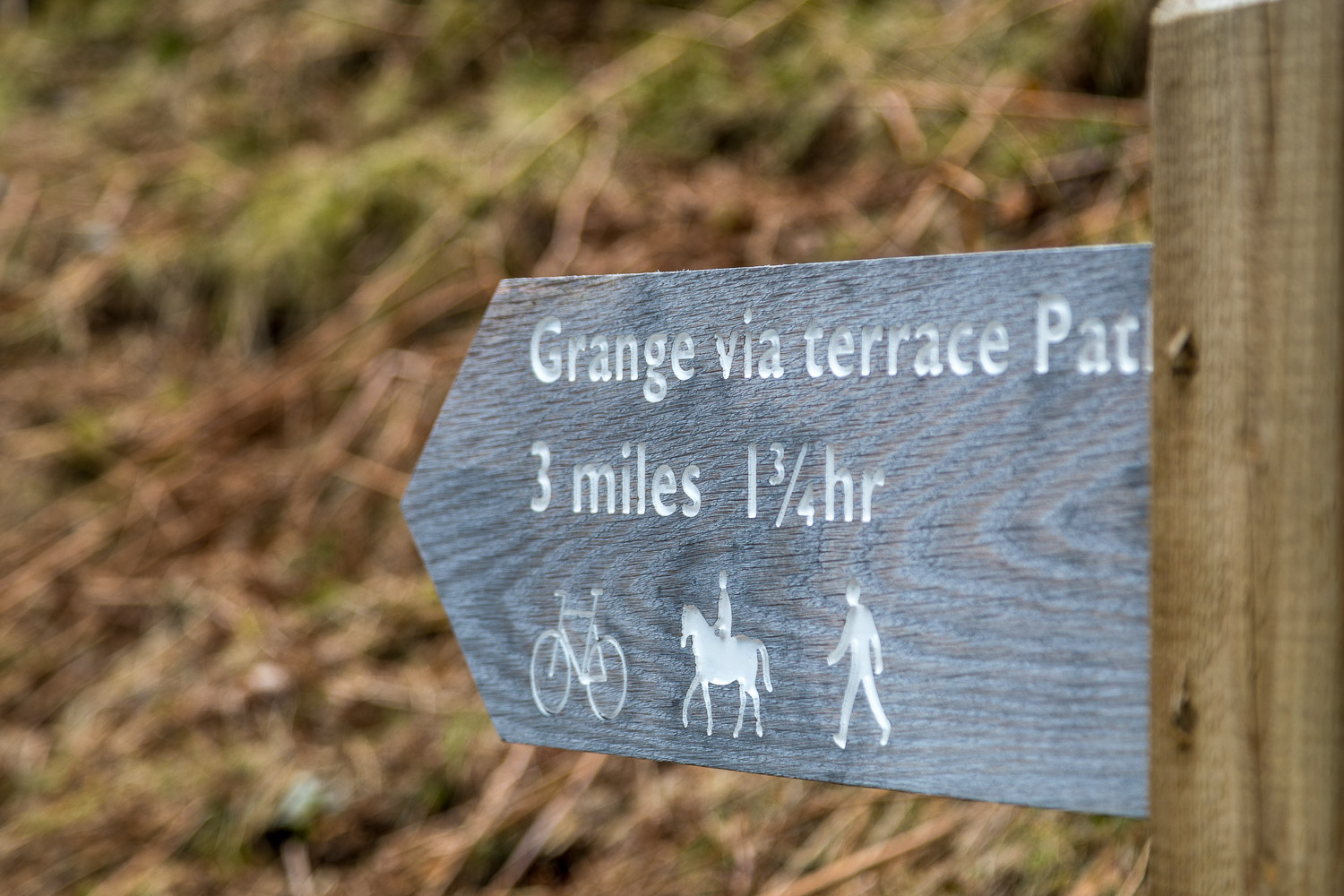
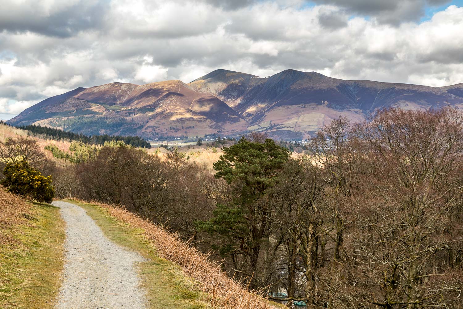
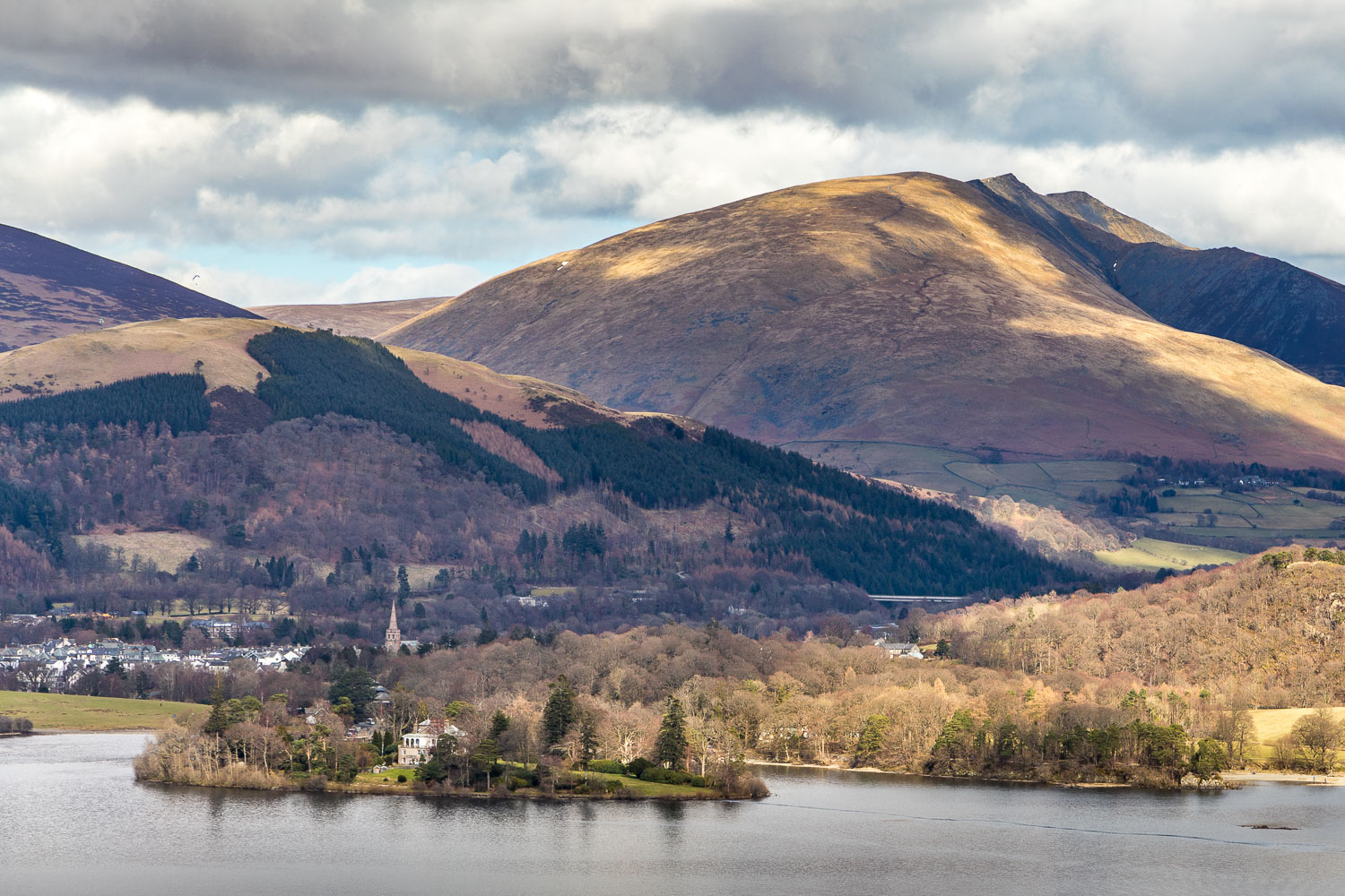
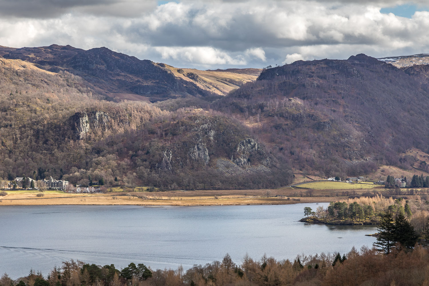
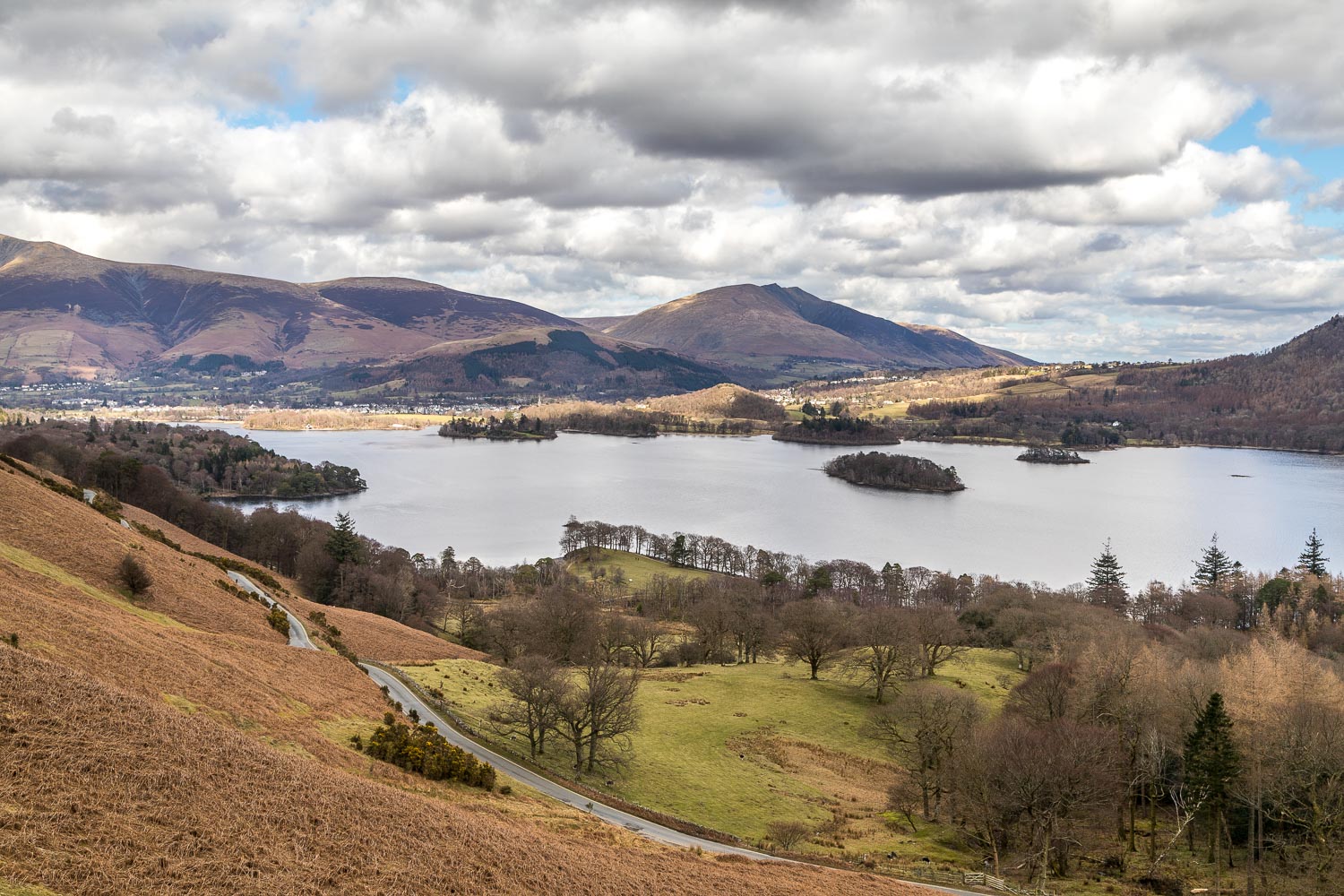
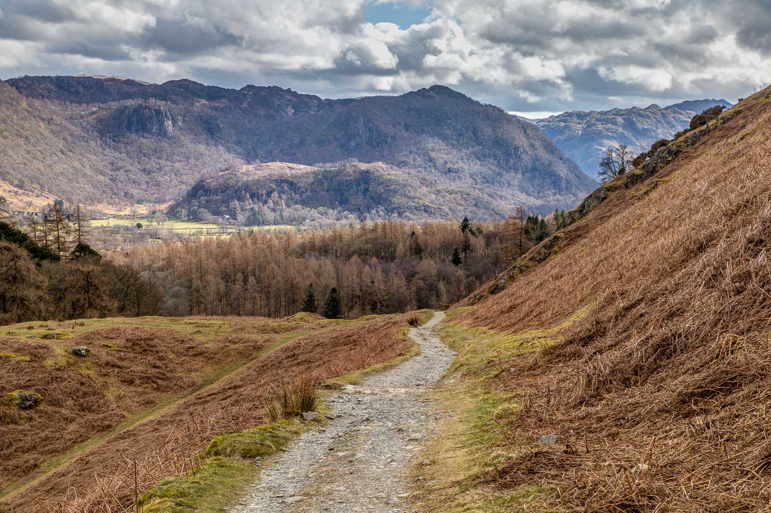
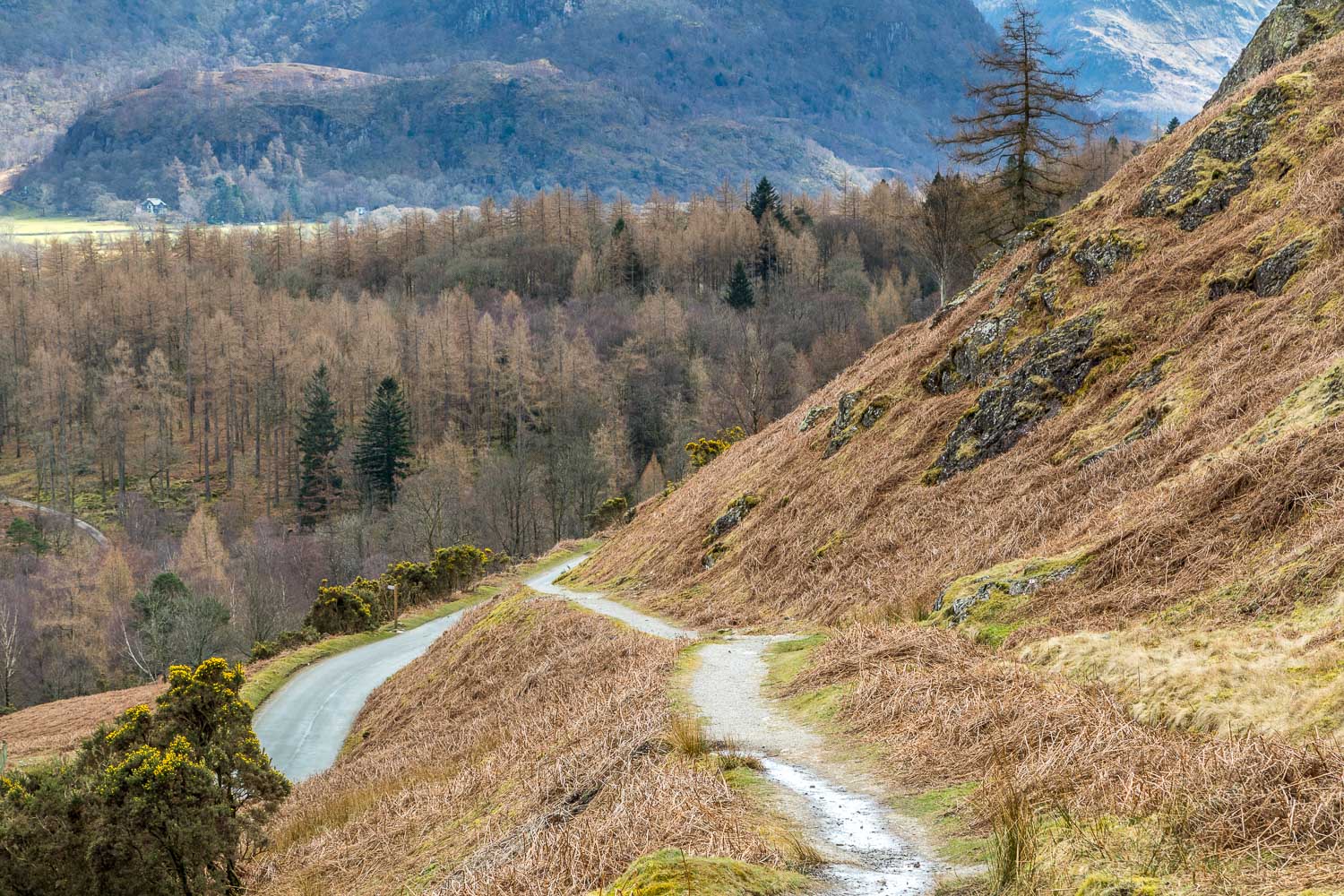
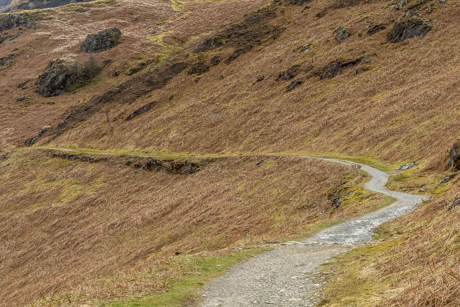
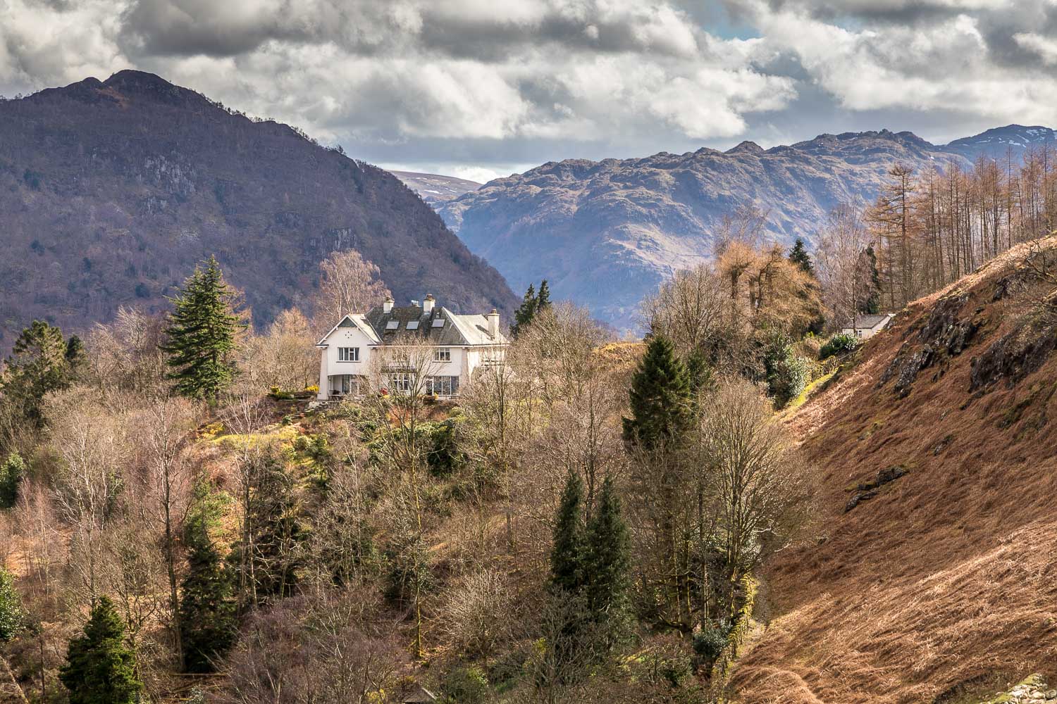
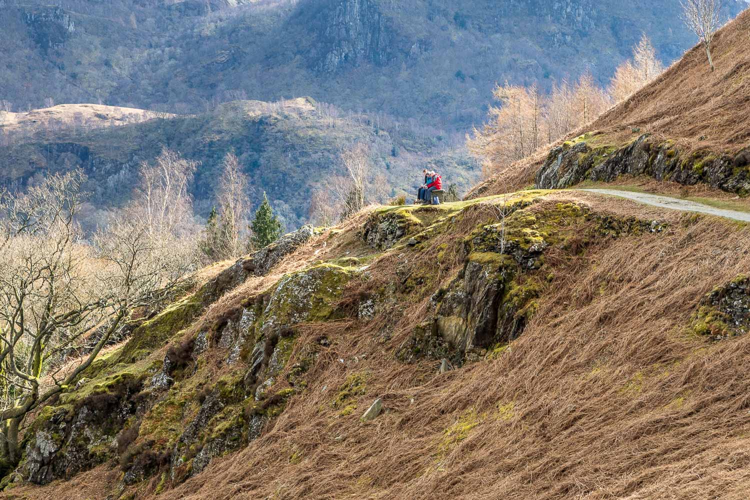
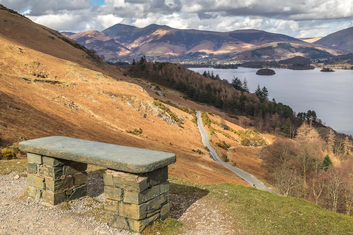
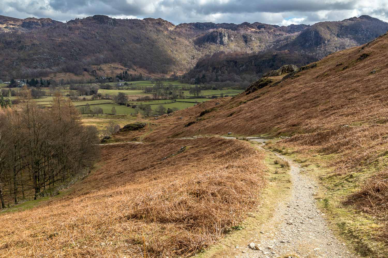
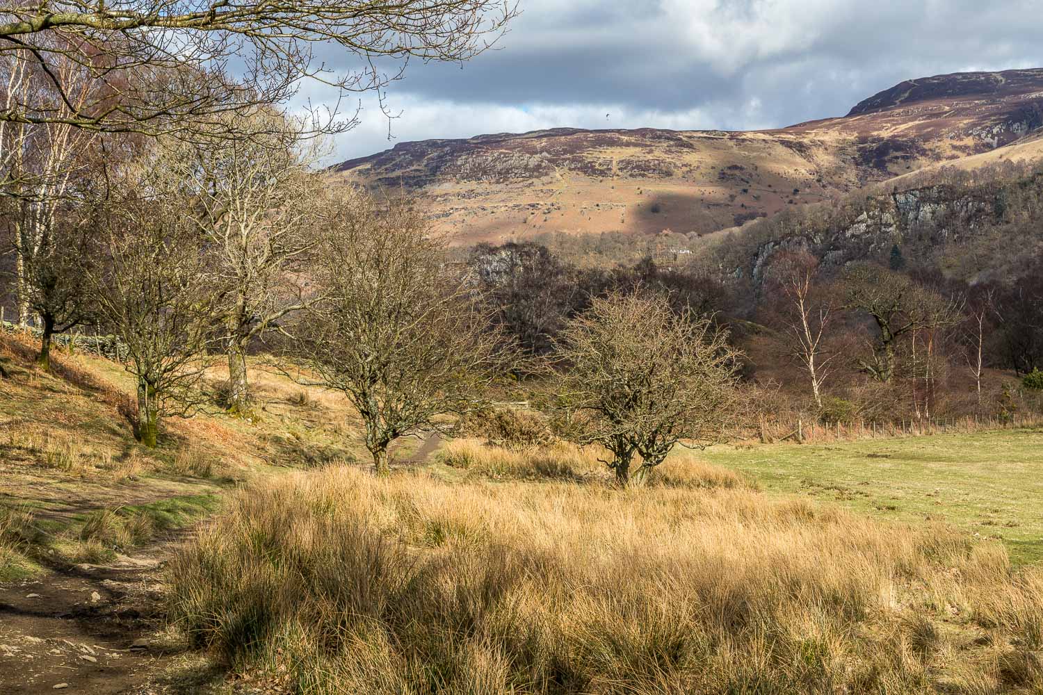
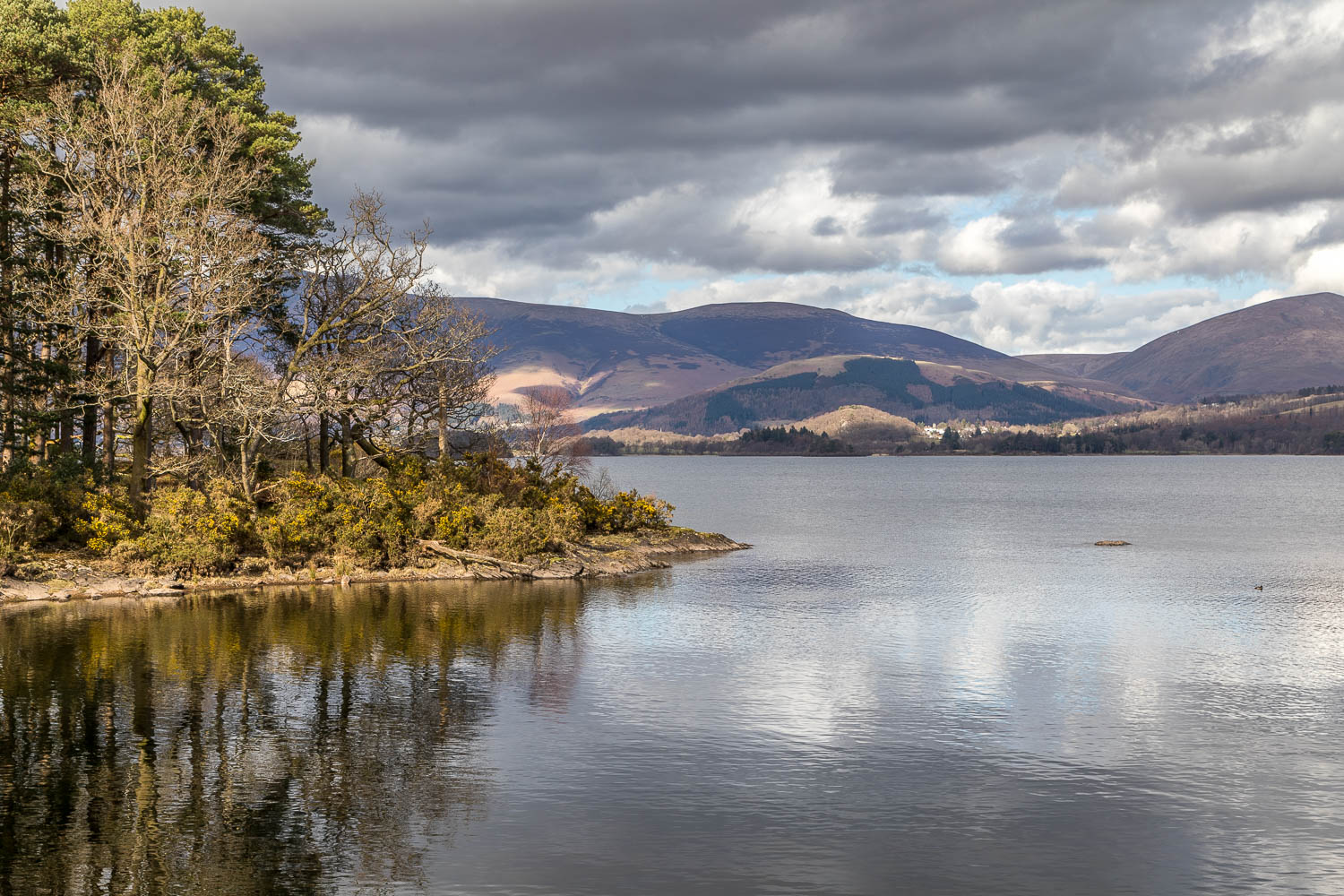
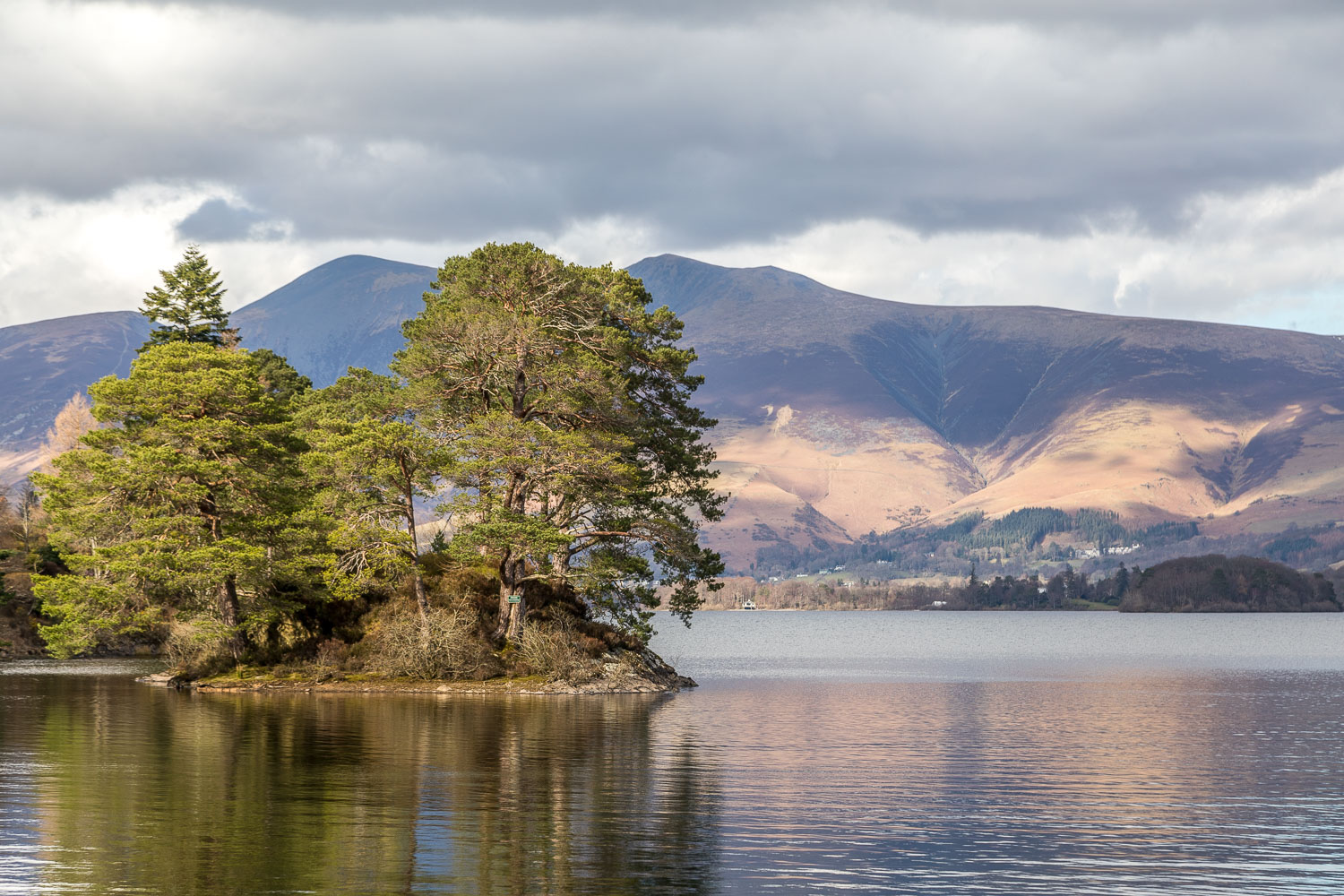
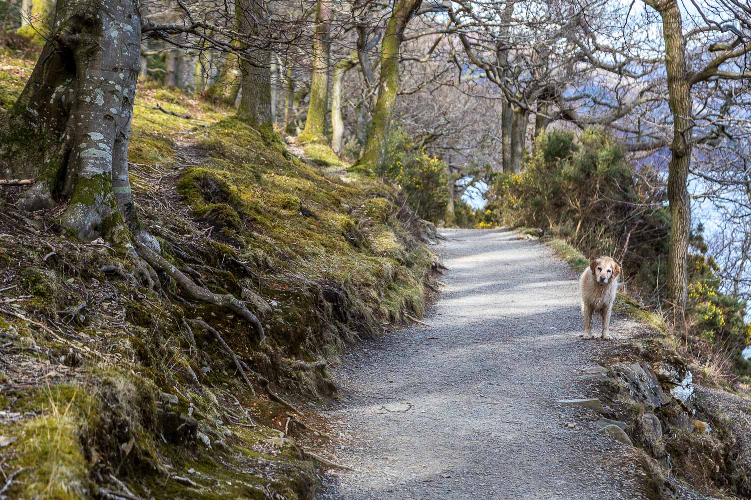
After walking over the foot of the fell I joined the terrace path which runs along its eastern flanks at mid-level, giving lovely views over Derwent Water. The path undulates up and down and eventually descends to the road at Manesty. It’s possible to extend the walk and continue along the road to Grange, but today I contented myself with joining the Cumbria Way just beyond Manesty to start the return leg
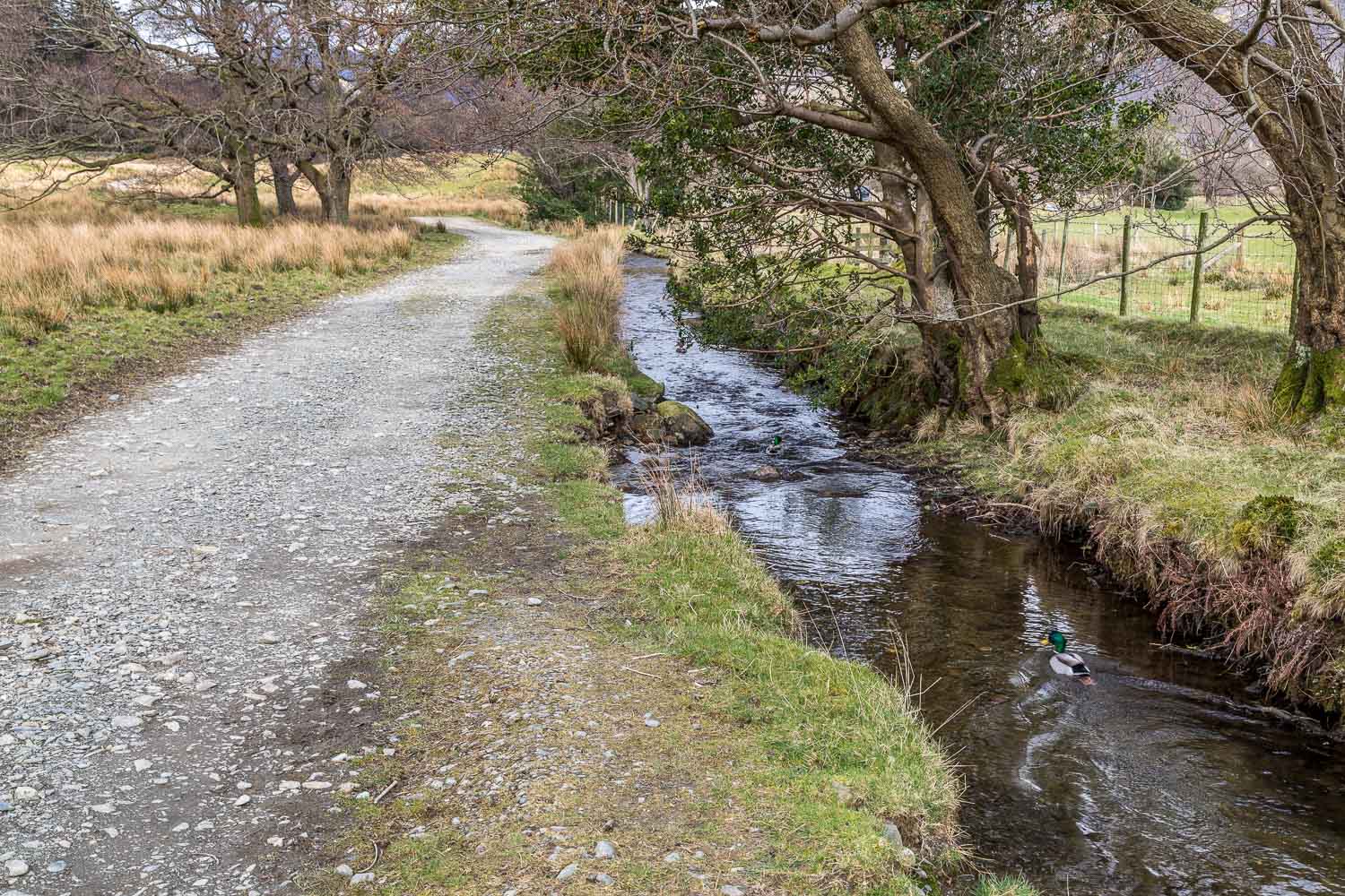
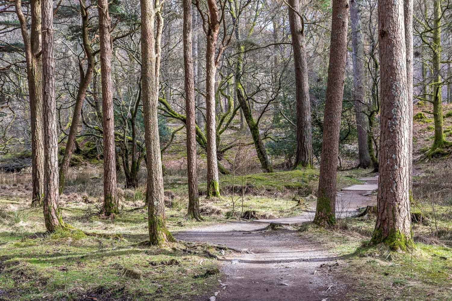
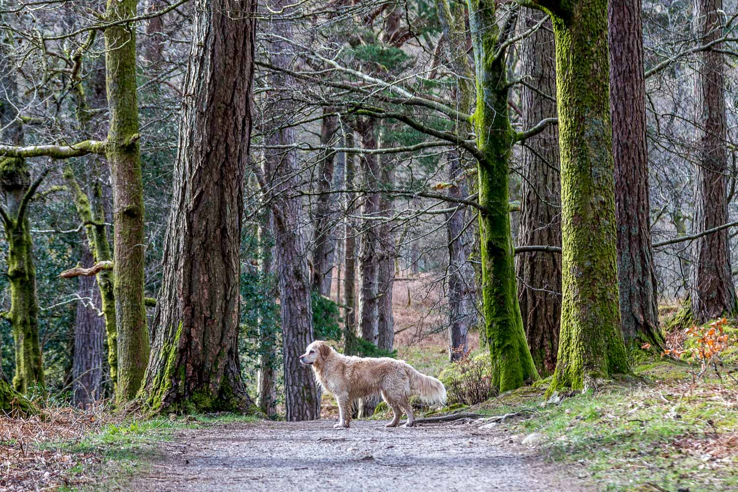
The wonderful shoreline path weaves in and out along a succession of small bays before entering Brandelhow Park. At the end of the woodland I left the lakeshore to ascend along a path through the Hawse End Outdoor Centre, and from there back to the start of a superb low level walk
The Lake District has recently been designated by UNESCO as a World Heritage Site on account of its outstanding landscape, and this morning’s event commemorated that designation. My walk today along the paths by Derwent Water – which represents a tiny fraction of that landscape – reminded me of what a special place this is, and hopefully will remain so for generations to come so that walkers of the future may enjoy the beauty that I had seen this afternoon
For other walks here, visit my Find Walks page and enter the name in the ‘Search site’ box
Click on the icon below for the route map (subscribers to OS Maps can view detailed maps of the route, visualise it in aerial 3D, and download the GPX file. Non-subscribers will see a base map)
Scroll down – or click on any photo to enlarge it and you can then view as a slideshow
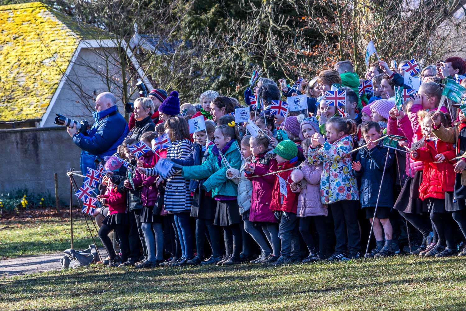
Prince Charles is here to unveil a plaque marking the status of the Lake District as a World Heritage Site
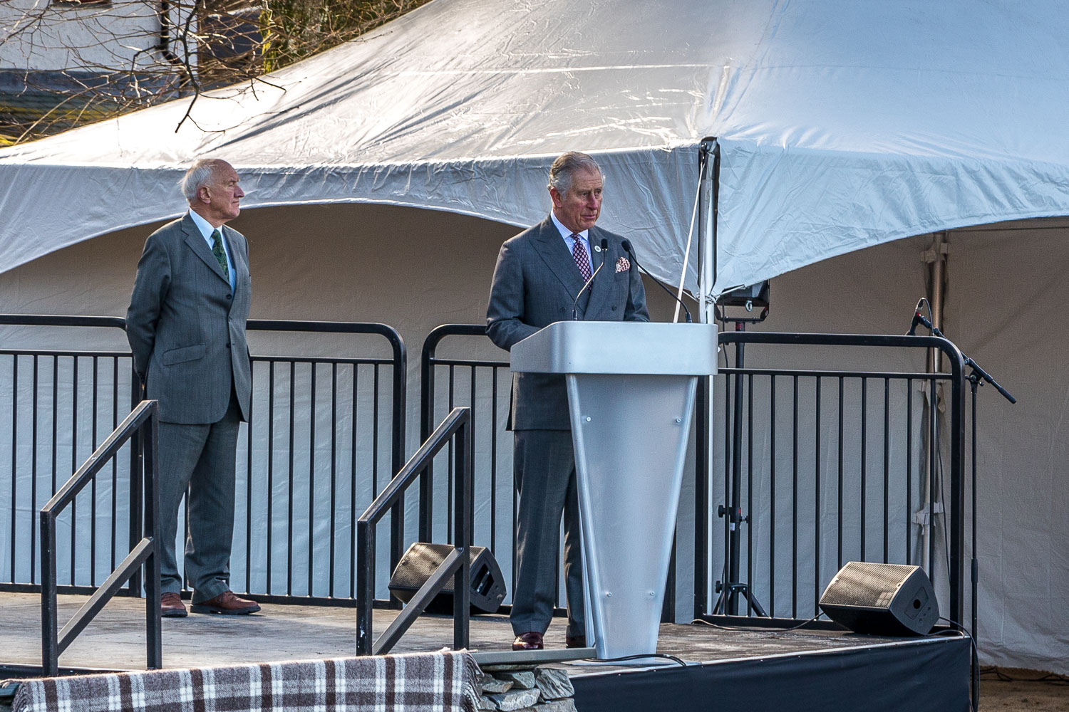
Prince Charles is here to unveil a plaque marking the status of the Lake District as a World Heritage Site, joining locations such as the Taj Mahal, the Great Barrier Reef and Grand Canyon
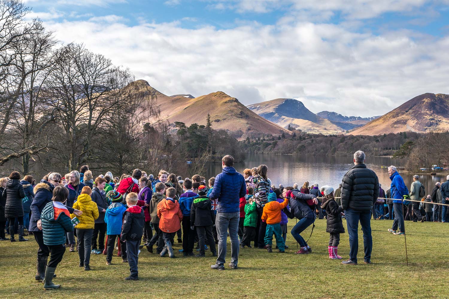
Looking towards Cat Bells from Crow Park, and a couple of hours later I'll be over there to start today's walk
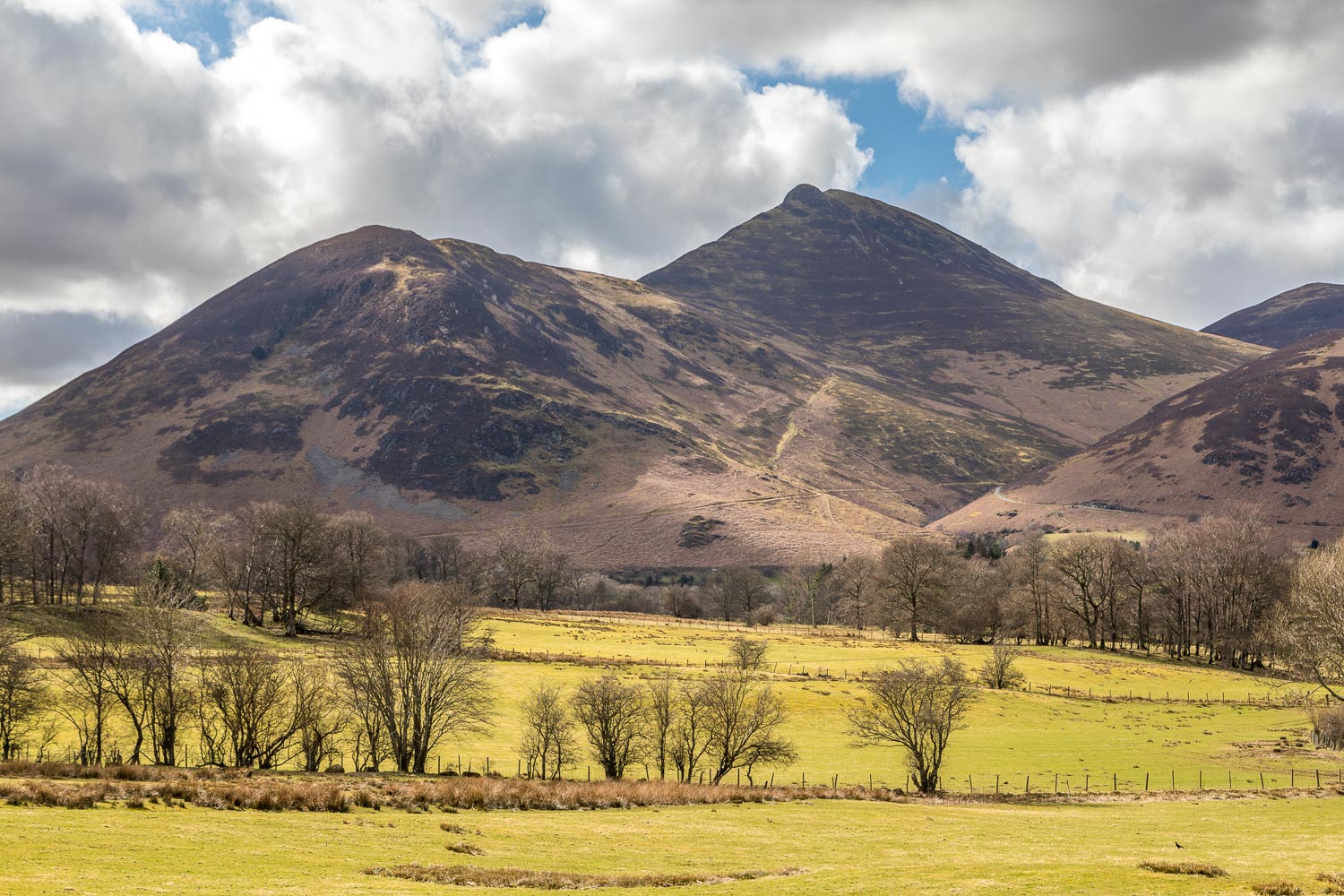
The start of the walk from one of the spaces near Swinside Lodge - this is looking across Newlands to Causey Pike
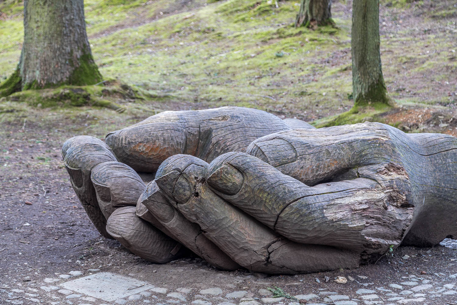
The wooden hands sculpture, carved from a single oak tree to celebrate the centenary of the National Trust in the Lake District
