Route: Dalemain Mansion to Dacre
Area: Eastern Lake District
Date of walk: 3rd April 2025
Walkers: Andrew, Gilly, Francine and Christian
Distance: 3.0 miles
Ascent: 300 feet
Weather: Sunny
Our French friends Francine and Christain were staying with us, and today’s walk was chosen with our guests in mind. The walk features an historic mansion, a famous garden, a walk through bucolic countryside, a traditional English pub and a fascinating old church
We’d booked a tour of Dalemain Mansion in advance but thanks to a road closure and a long diversion we missed our timeslot. On a beautiful day such as this it wasn’t an issue and we were well content to explore the gardens. We were too early in the season to see the Himalayan blue poppies which are a feature of Dalemain – click here to see a previous visit with some photos of these beautiful plants at their peak. However there was still plenty of interest in the various garden ‘compartments’, including the terrace, the Knot garden, Lob’s Wood, and the Low Garden
After wandering around for an hour or so, it was time to get on with the walk, which is no more than a leisurely stroll along the estate road from Dalemain to Dacre, passing through rolling farmland. There are good views in all directions. Less than an hour after setting off we arrived in the attractive village of Dacre in perfect time to enjoy lunch at the excellent Horse & Farrier which I can highly recommend for its food and friendly service
Suitably refreshed, we visited nearby St Andrew’s Church which has many interesting features, including a memorial window by Lawrence Whistler. As we wandered around the grounds our attention was taken by some strange stone statues – the Dacre Bears, which have puzzled historians for centuries
From the church we retraced our steps along the estate road back to Dalemain to end a short but very enjoyable walk (for anyone looking for longer walks centred on Dalemain, visit Search Walks and enter ‘Dalemain’)
Click on the icon below for the route map (subscribers to OS Maps can view detailed maps of the route, visualise it in aerial 3D, and download the GPX file. Non-subscribers will see a base map)
Scroll down – or click on any photo to enlarge it and you can then view as a slideshow

Dalemain is well known for hosting the World Marmalade Awards, with the aim of finding the best marmalade in the world. We bought some of the 2024 award winning 'Seville Orange and Lime with Chilli', which we judged to be delicious at breakfast the next day

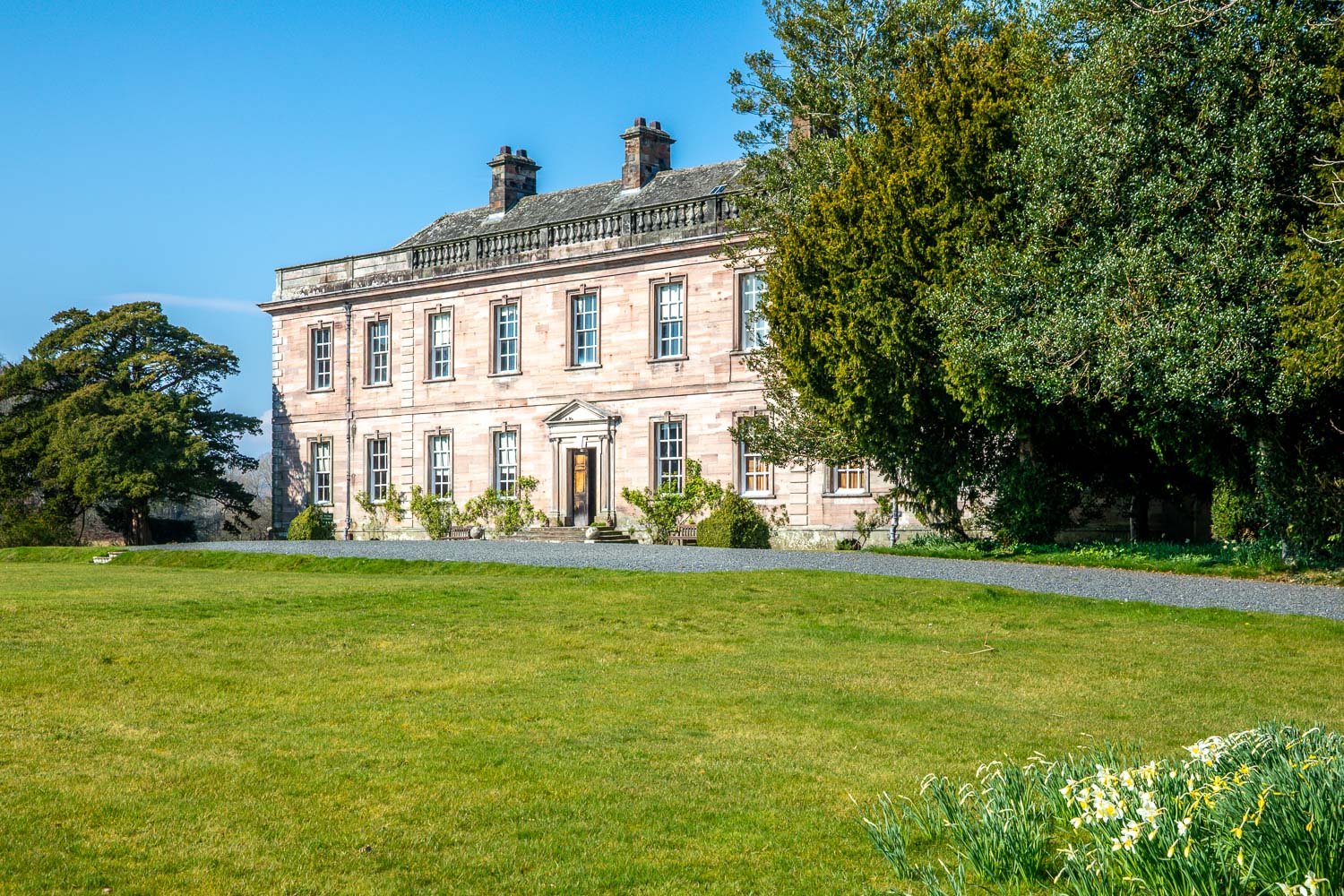
We walk past the entrance to Dalemain Mansion, a Grade I Listed Building and home to the Hasell family since 1679

At the end of the terrace there is a silver fir, one of the oldest in the UK, with a girth of 26 feet

We pass by the box topiary sleeping dragon in the Low Garden, well known for its wonderful display of Himalayan blue poppies in May and June...

The end of the garden tour as we leave Dalemain. Look out for the herd of fallow deer at the start of path to Dacre

A grateful mother - her lamb had escaped from the field onto the track and we managed to re-unite them

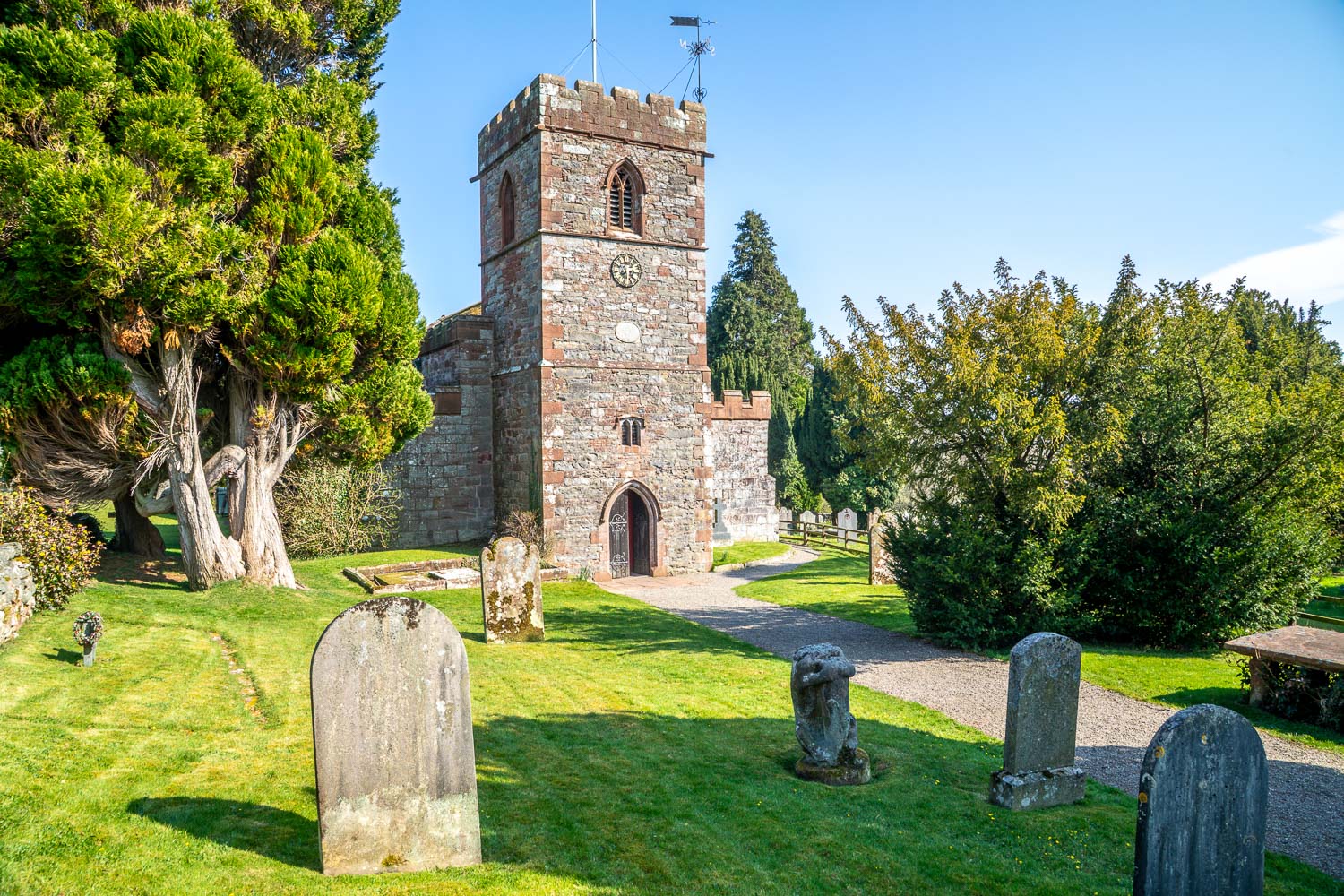
The church is believed to date back to the 13th century, although various additions have been made since then


