Route: Crummock Water
Area: Western Lake District
Date of walk: 7th October 2016
Walkers: Andrew
Distance: 3.9 miles
Weather: Overcast, some light drizzle, a couple of brighter patches later on
A dull and overcast start to the day persuaded me to abandon my plan for a fell walk, but without reluctance I set off to revisit one of our favourite local spots – Lanthwaite Hill, otherwise known as Brackenthwaite Hows and named as such on the OS maps
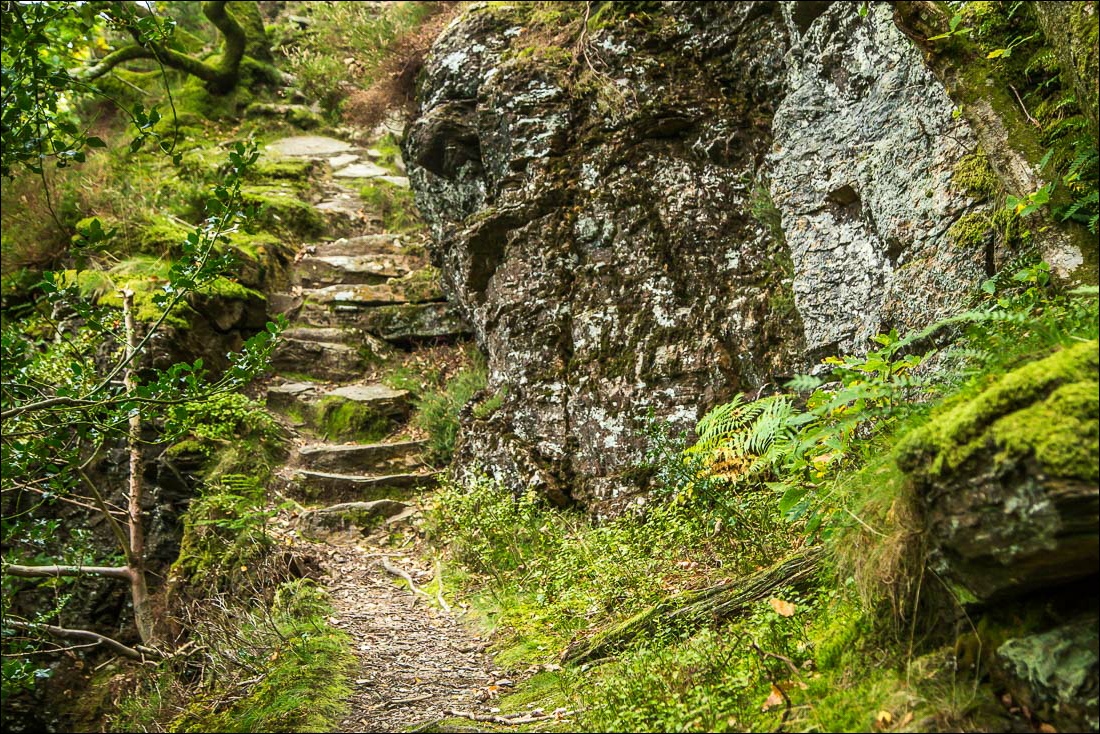
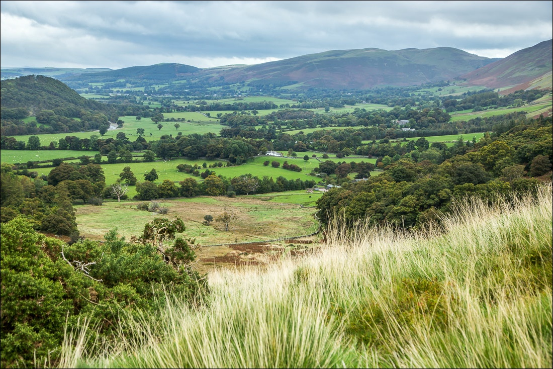
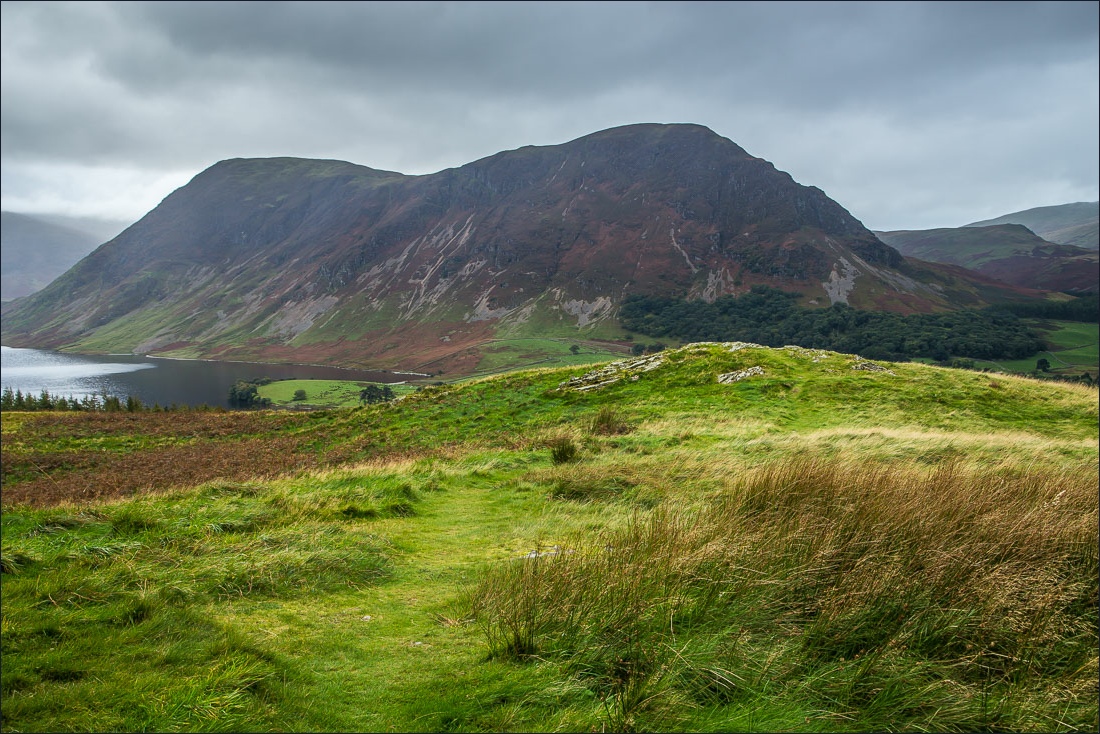
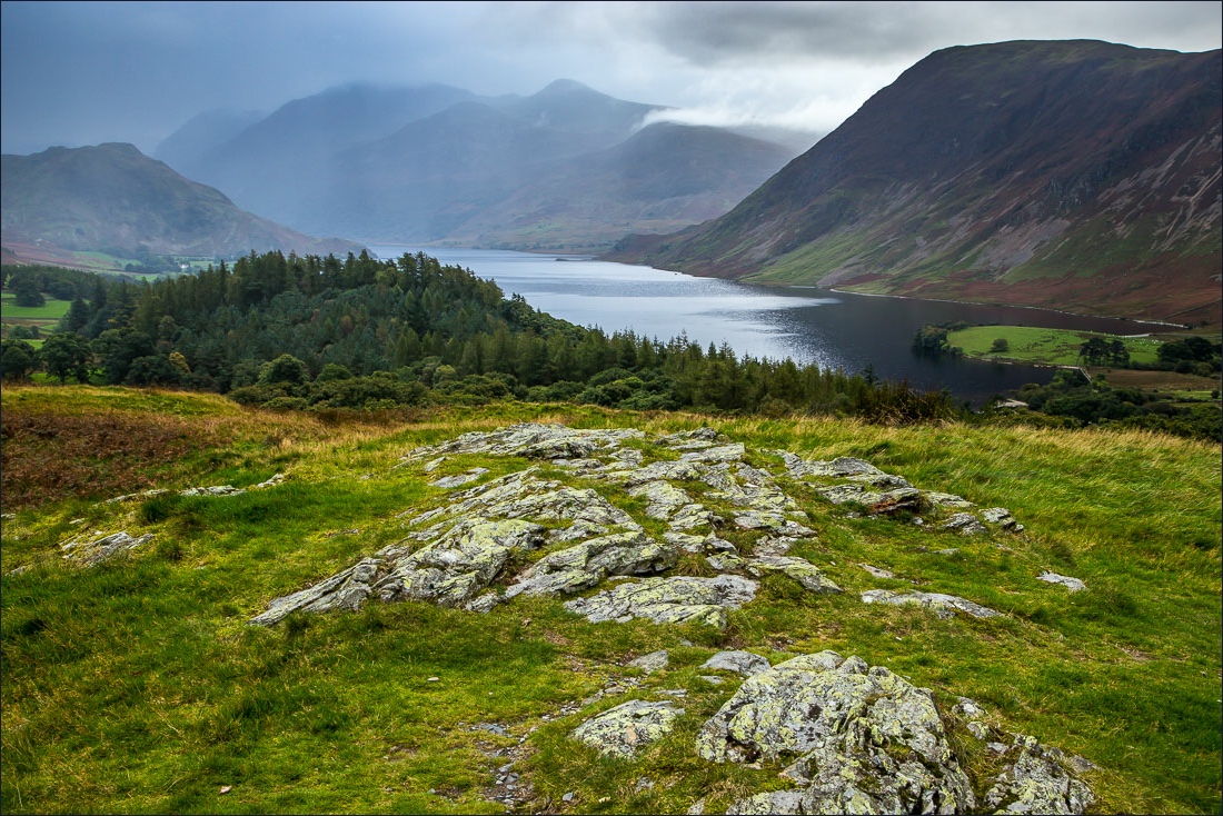
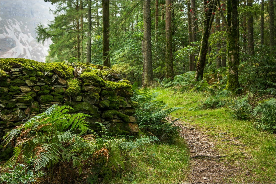
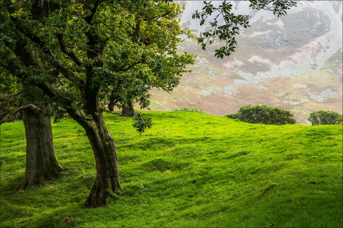
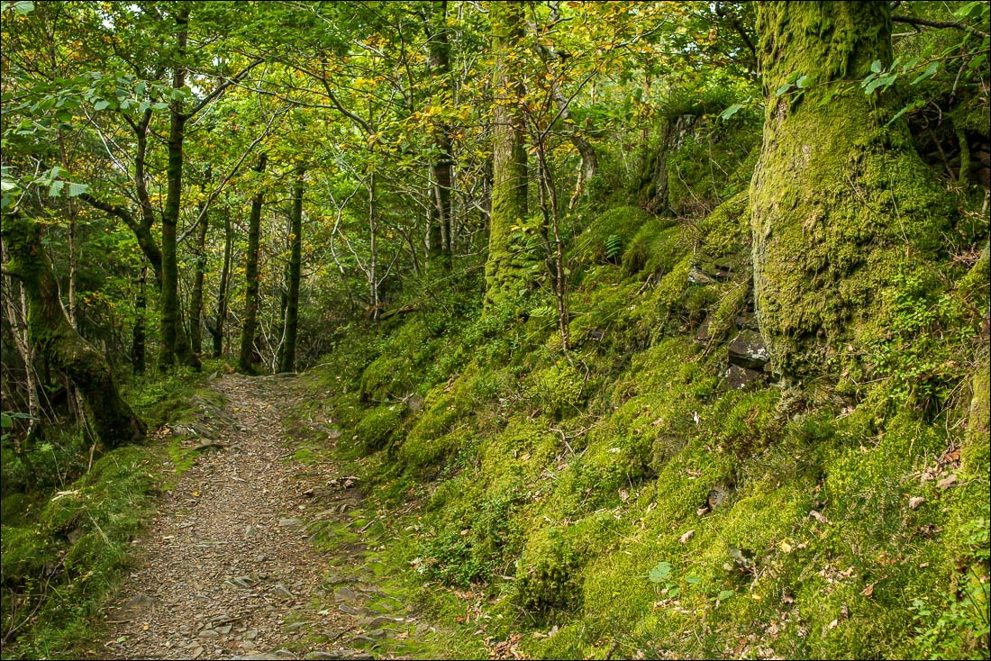
I parked in the National Trust car park at Scale Hill and made the short and steep climb up to the top of the hill through Lanthwaite Wood. Despite the below average weather the view was as lovely as ever
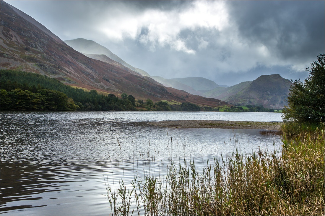
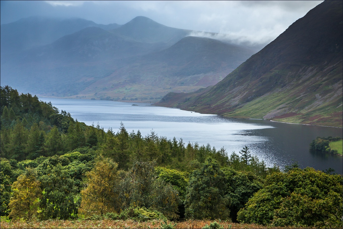
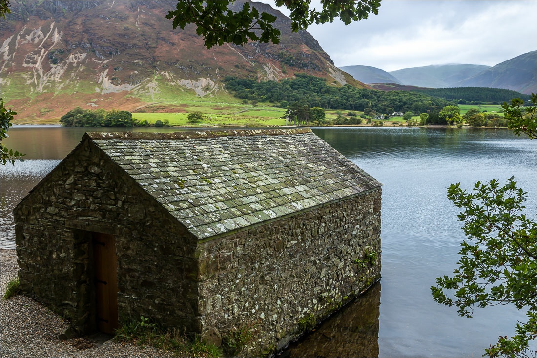
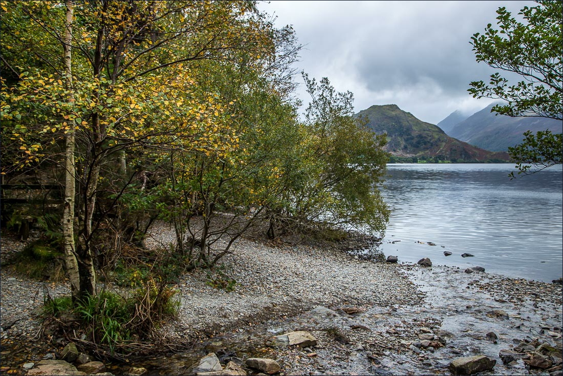
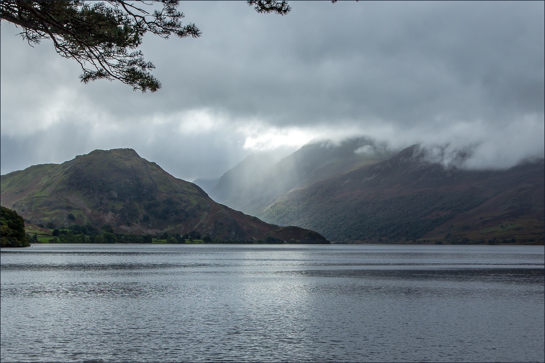
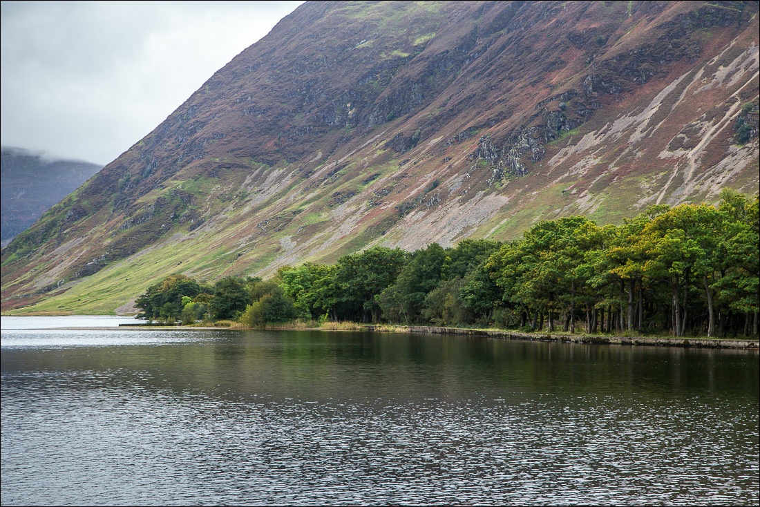
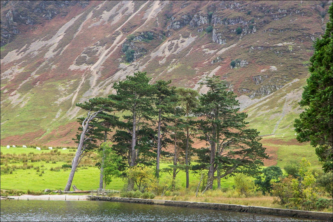
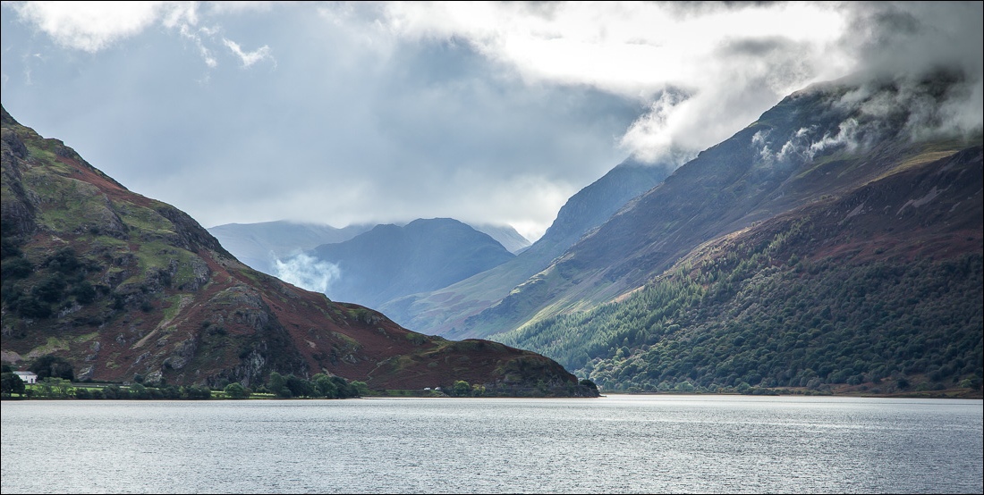
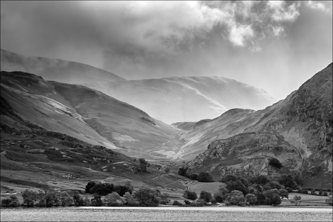
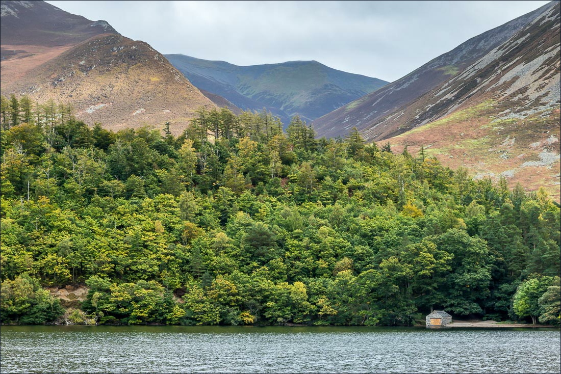
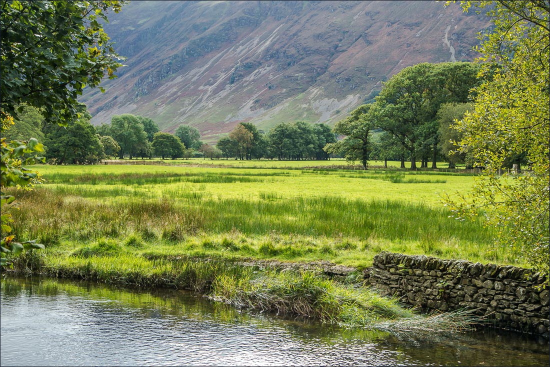
I walked back down into the wood and to the boathouse by the shore of Crummock Water, and from there I followed the path round the foot of the lake to a point just beyond the pump house. There was a break in the clouds here, allowing some misty and moody views of Rannerdale Knotts, Haystacks and Great Gable beyond the head of the lake
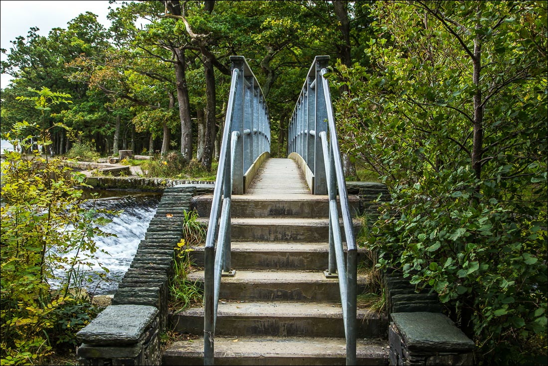
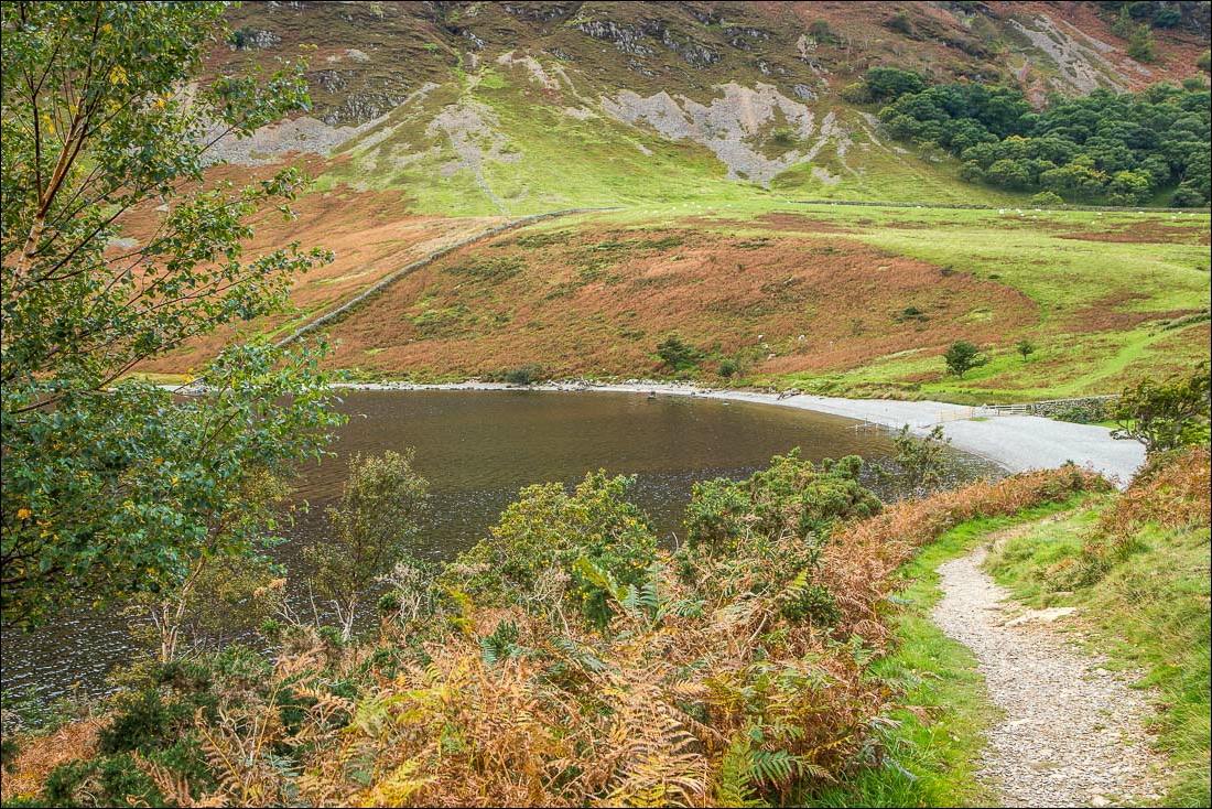
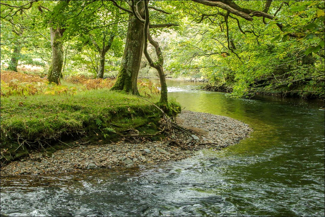
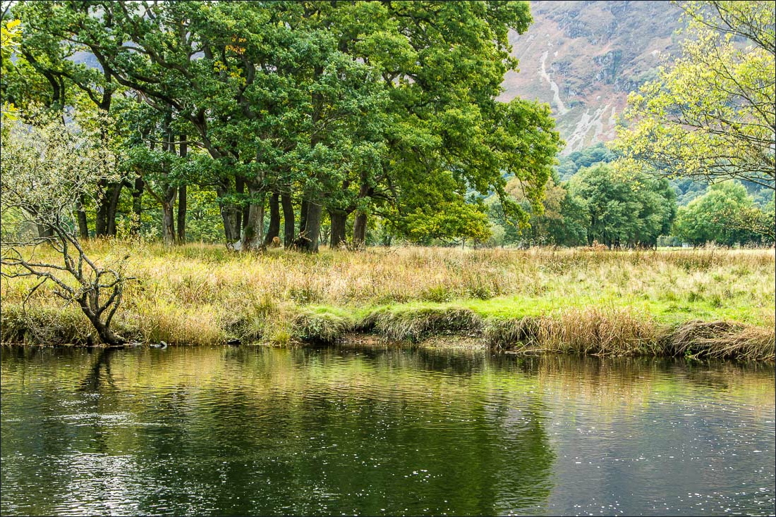
After retracing my steps to the foot of the lake I followed the path beside the bank of the River Cocker back to the start
For other walks here, visit my Find Walks page and enter the name in the ‘Search site’ box
Click on the icon below for the route map (subscribers to OS Maps can view detailed maps of the route, visualise it in aerial 3D, and download the GPX file. Non-subscribers will see a base map)
Scroll down – or click on any photo to enlarge it and you can then view as a slideshow
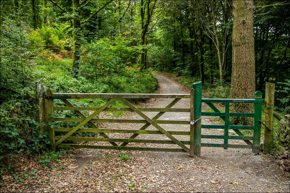
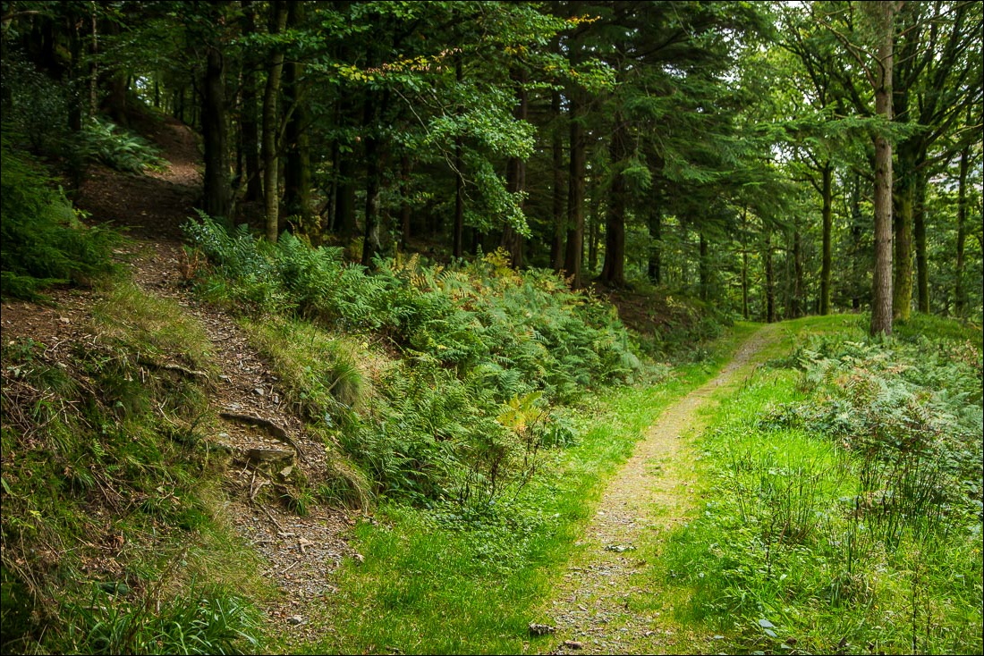
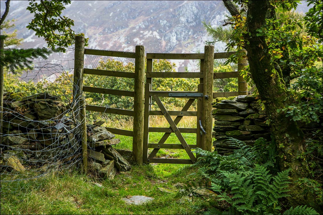
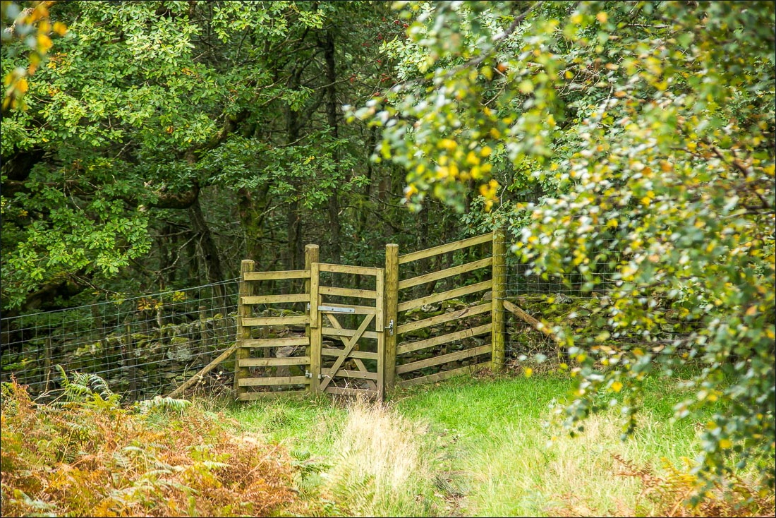
The start of the walk as I enter Lanthwaite Wood from the car park. I don’t follow the track ahead, but climb uphill along a narrow path to the left
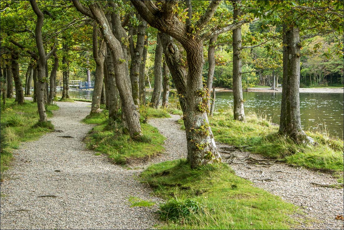
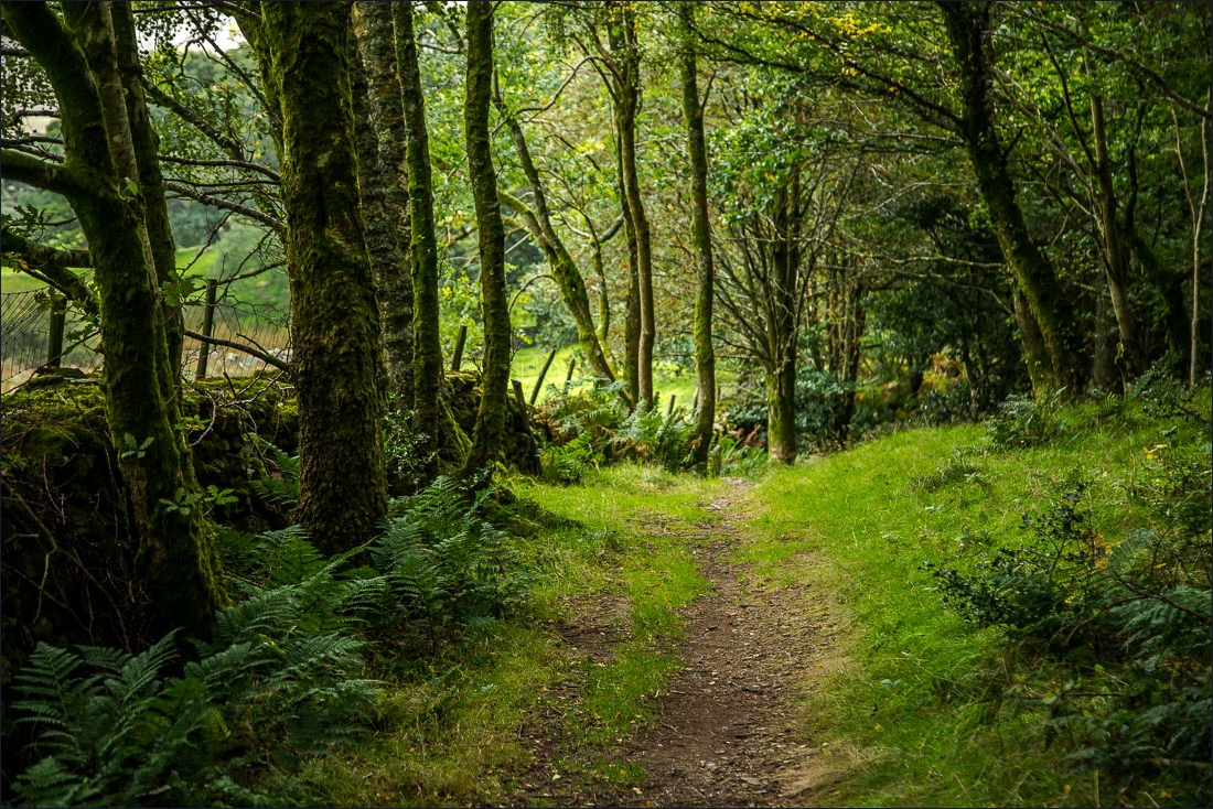
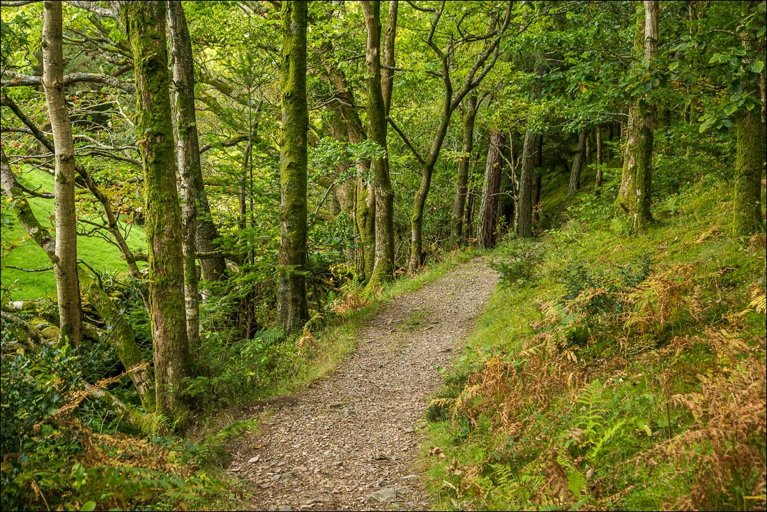
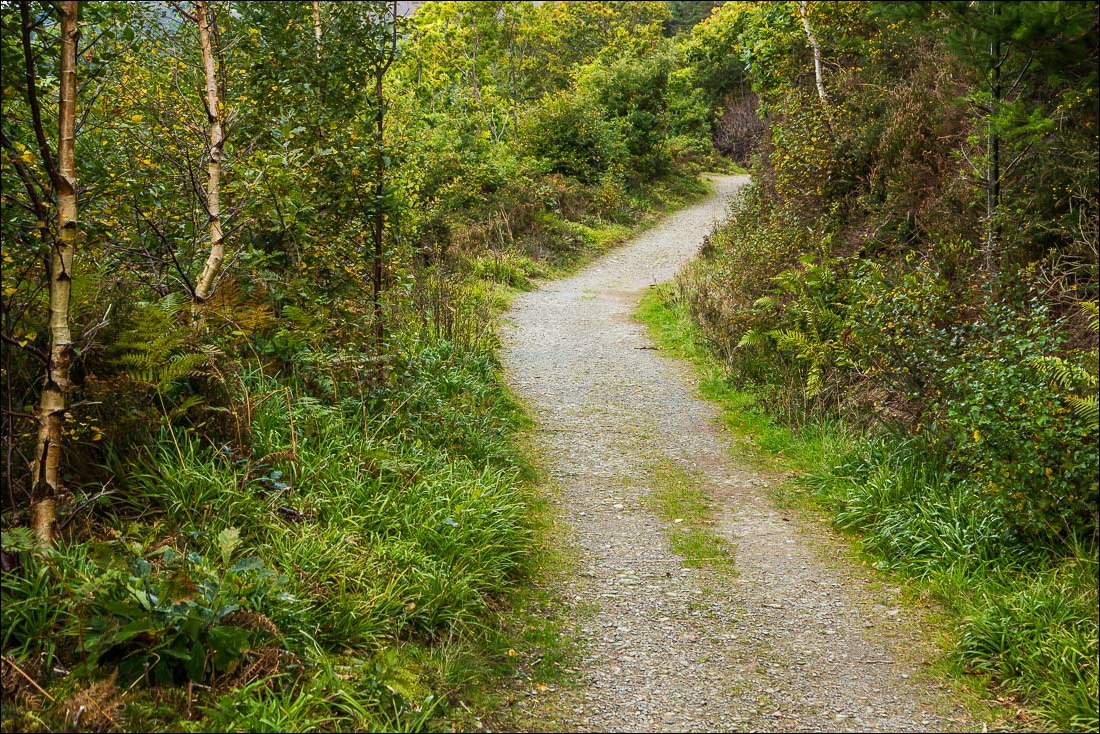
Approaching the foot of the lake, from where there is a choice of two paths back to the start - a wide track through the wood or a path along the bank of the Cocker
