Route: Chowder Ness
Area: North Lincolnshire
Date of walk: 24th August 2014
Walkers: Andrew
Distance: 5.1 miles
Weather: Sunny, cold in view of the early start
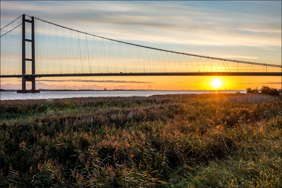
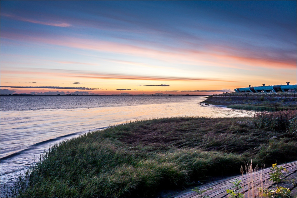
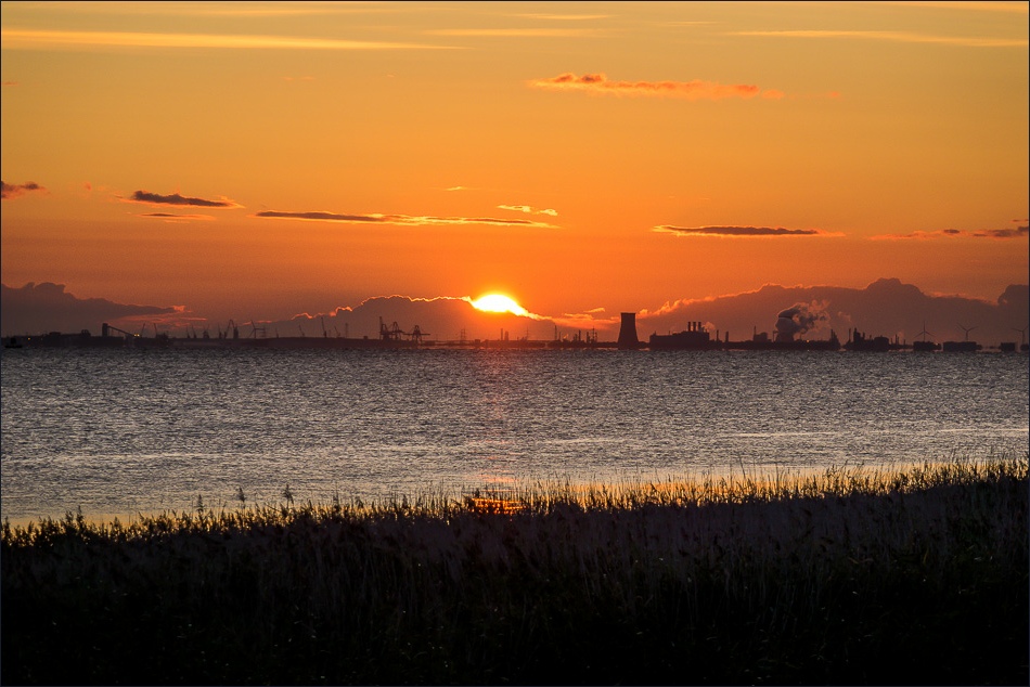
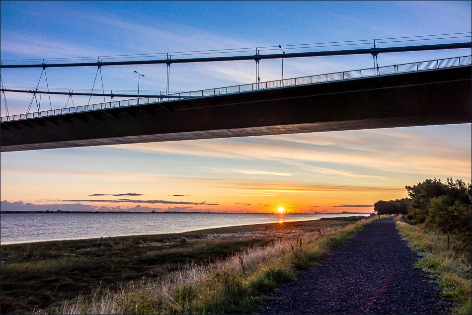
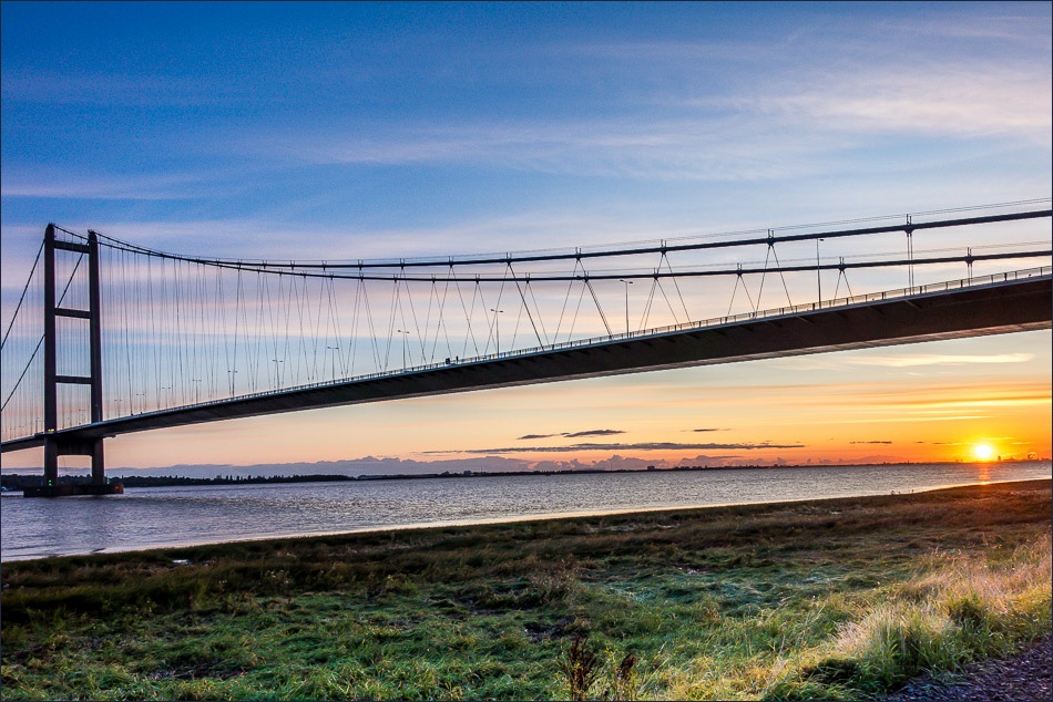
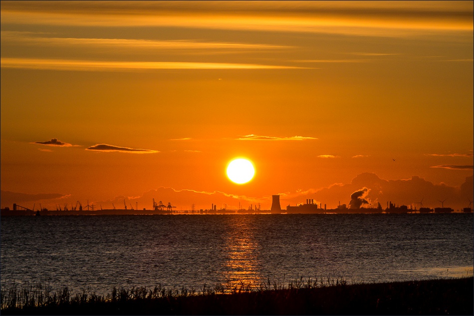
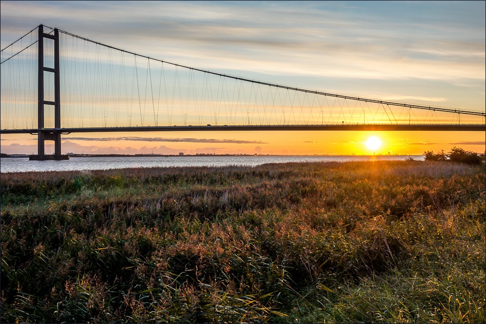
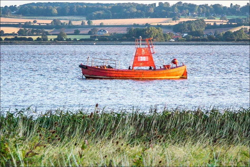
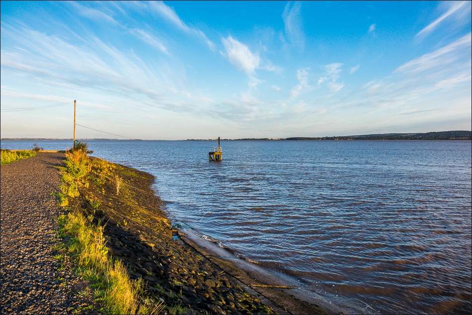
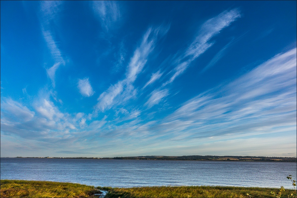
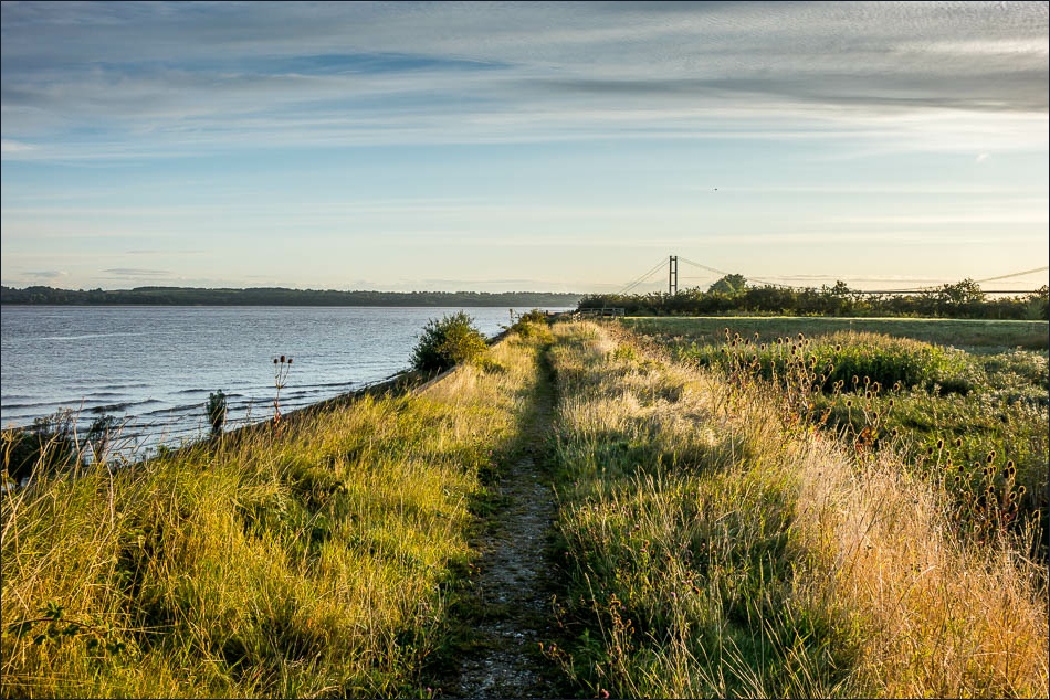
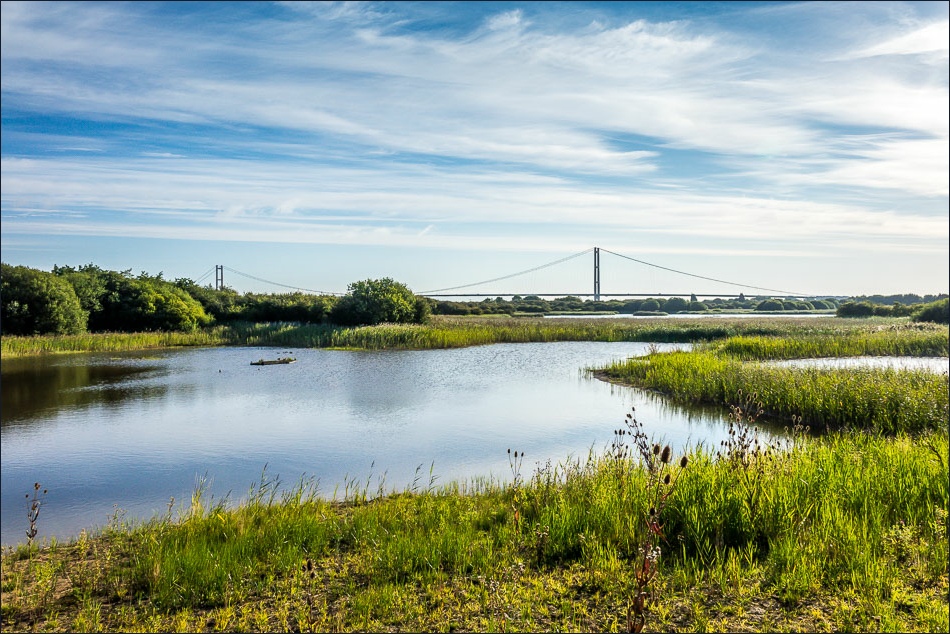
For the second time in three days I parked at the viewing area near the south end of the Humber Bridge. I was there before 6 am, as I wanted to see the sun rise over the Humber. I was just in time to catch the orange glow and then to see the sun gradually rising in the sky – it was a wonderful sight and the light was magical
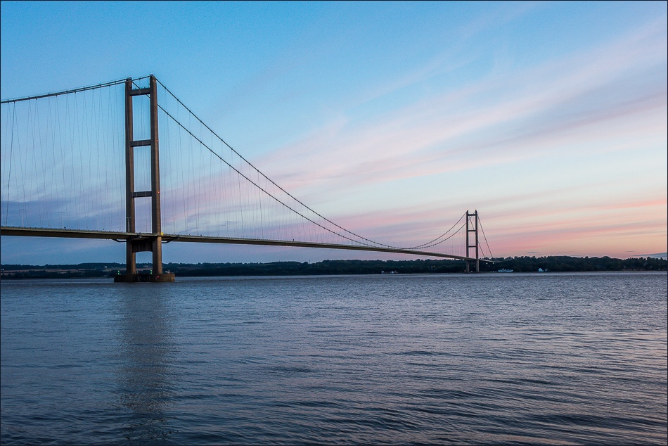
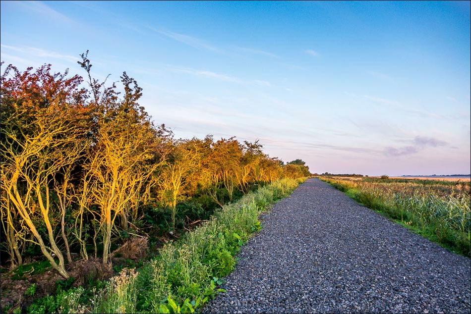
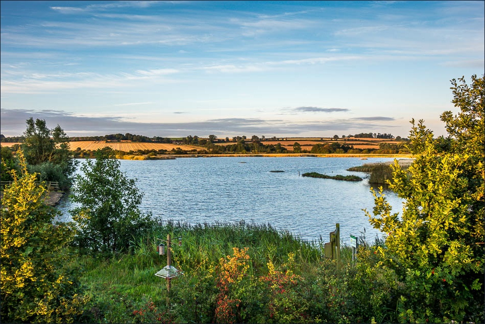
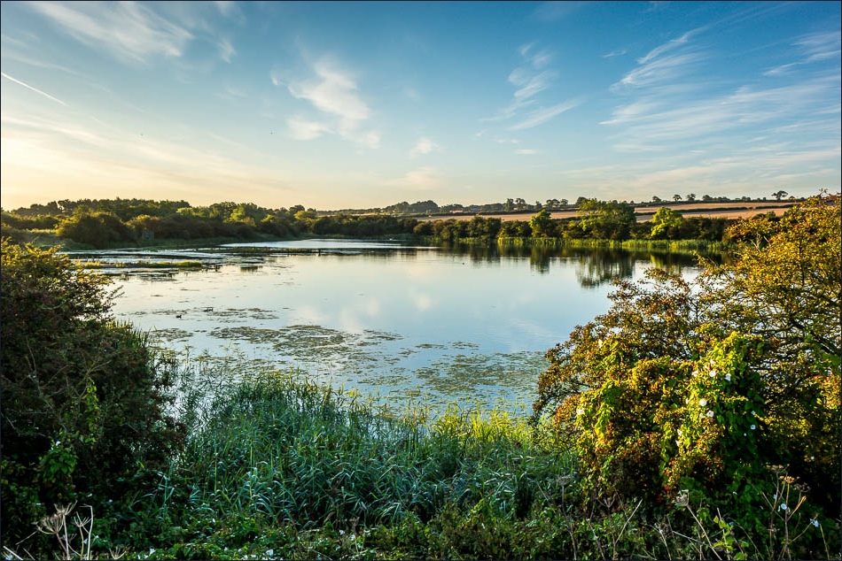
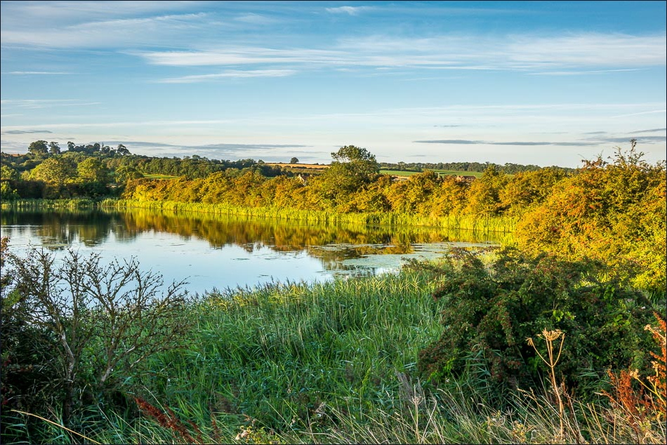
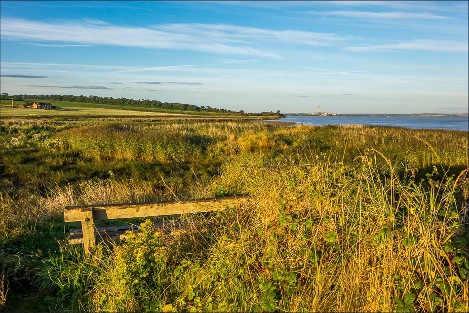
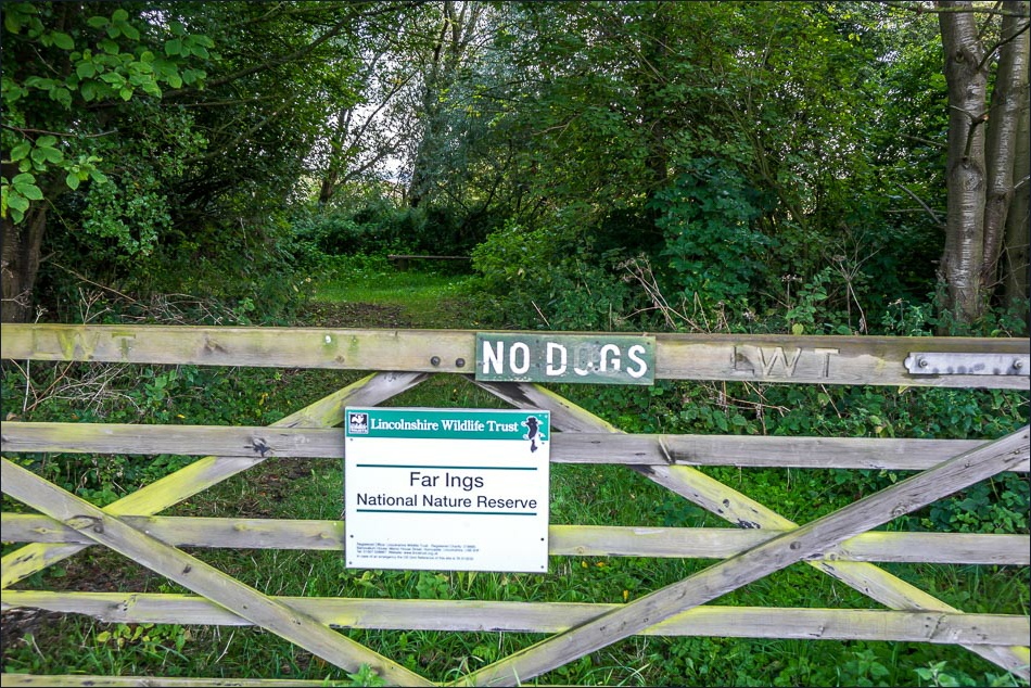
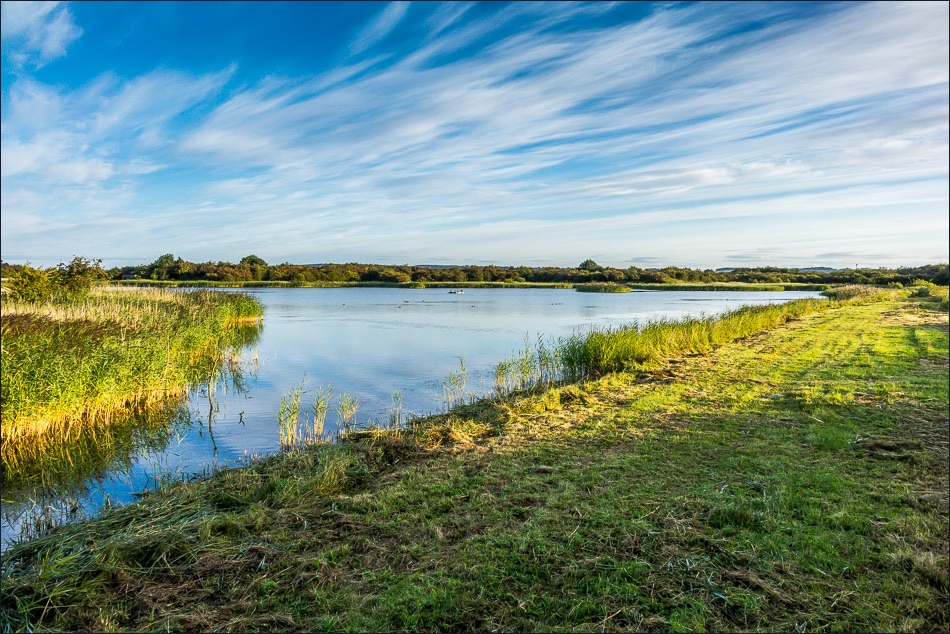
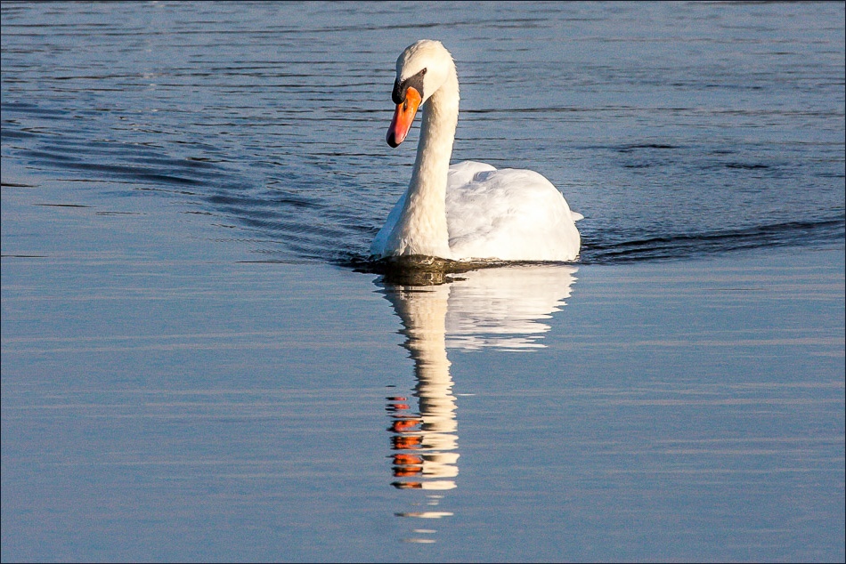
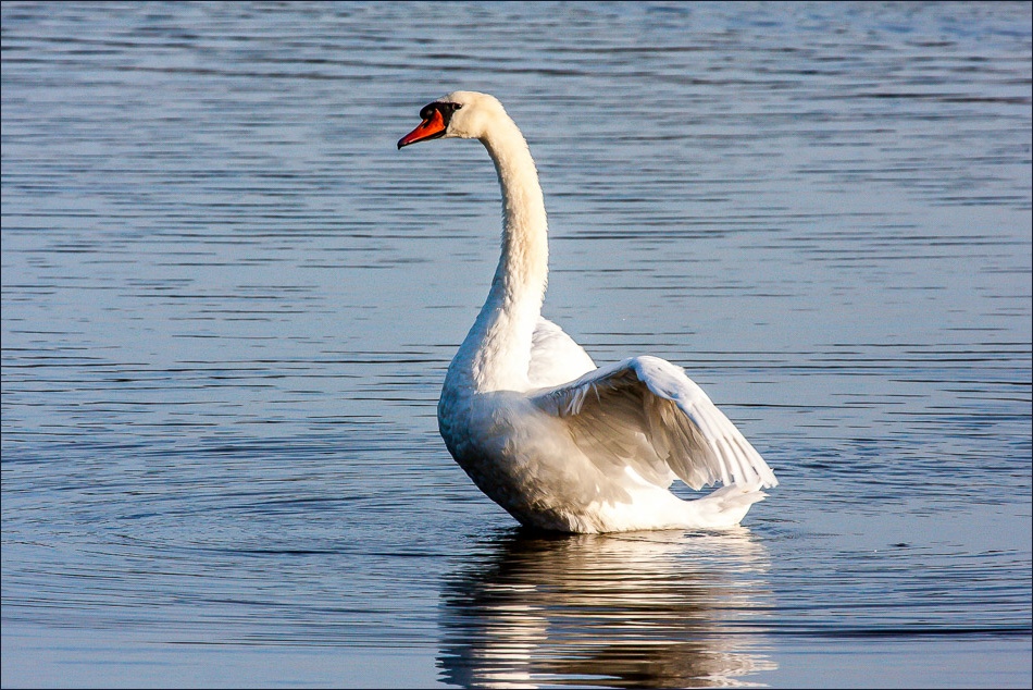
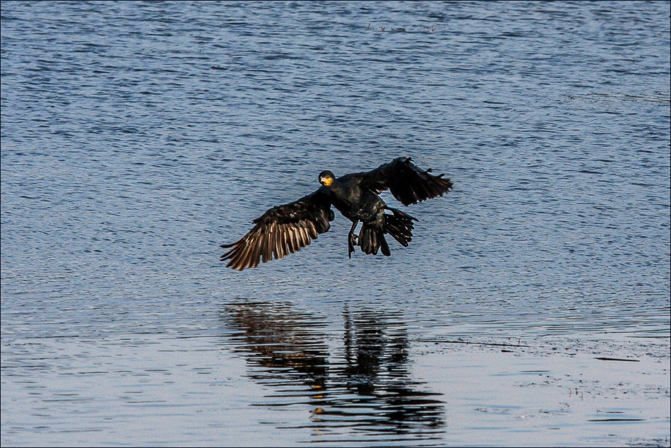
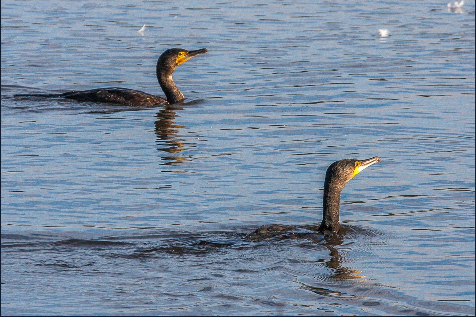
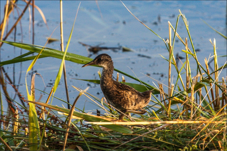
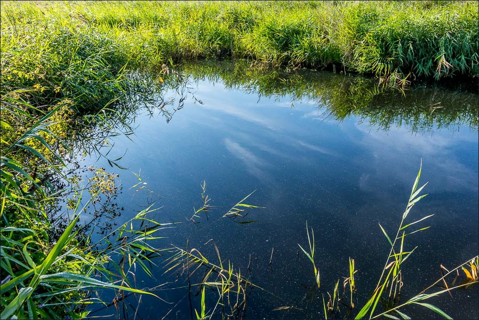
I walked underneath the bridge and carried along the shoreline path just beyond Chowder Ness, then headed inland for a short distance to enter the Far Ings Nature Reserve. I lingered in a few of the hides for a while hoping I might see one of the many rarities that inhabit this place – a bittern or a bearded tit maybe? My luck was out but I still had a few good sightings and it was a worthwhile detour
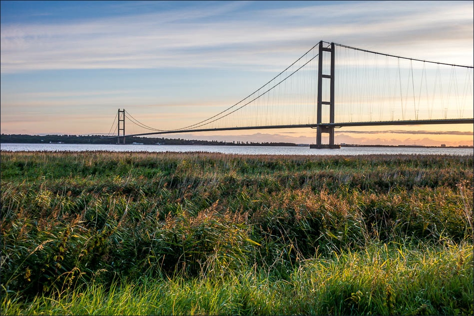
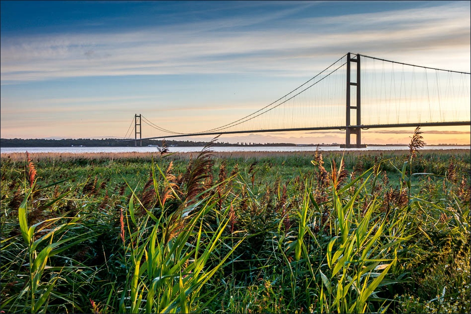
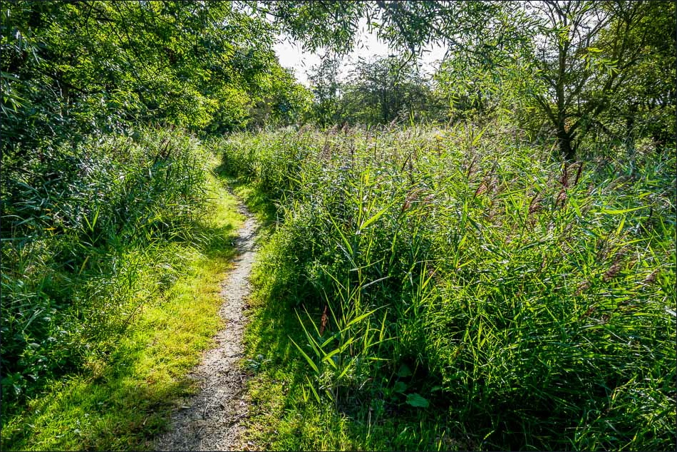
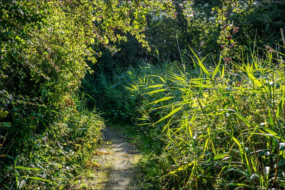
I then walked back along the shore, deviating inland slightly to walk through the reedbeds near the bridge. I was glad to have made the effort to come here at this time of day
Click on the icon below for the route map (subscribers to OS Maps can view detailed maps of the route, visualise it in aerial 3D, and download the GPX file. Non-subscribers will see a base map)
Scroll down – or click on any photo to enlarge it and you can then view as a slideshow
