
Route: Chalkland Way Stage 3 – Thixendale to Wetwang
Area: East and North Yorkshire
Date of walk: 21st July 2019
Walkers: Andrew and Gilly
Distance: 9.8 miles
Ascent: 900 feet
Weather: Mixed cloud and sun
The Chalkland Way is a 40 mile long distance walk which explores the most northerly chalk outcrop in Britain, visiting the hills and valleys of the Yorkshire Wolds. The route was first established in 1994 by Ray Wallis, and is a worthy addition to the other long distance walks in the region – the Wolds Way, the Centenary Way, the Minster Way and the Wilberforce Way
We completed Stage 1 of the walk from Pocklington to Bugthorpe in February, and in April we completed Stage 2, Bugthorpe to Thixendale (follow the links to see these)
As this is a linear walk, two cars were needed and after leaving one of them in Wetwang we drove in the other to Thixendale, parking opposite the village church. We climbed up Beamer Hill via a chalk path at the far end of the village. This is part of the Yorkshire Wolds Way, and the two long distance paths shared the same route for about 3 miles. It was a case of up hill and down dale as we followed the paths, which were mostly at high level. permitting lovely views down into some of the dales
We eventually arrived in the village of Fimber and after crossing the main road we followed the route diagonally across South Field. The farmer had sown his wheat crop over the right of way, and the path was extremely narrow. If it hadn’t been for the fact that a few other walkers had partially flattened the crop, we’d have been in doubts about the route. There were further doubts when access to Green Lane seemed to be hindered by brambles and nettles, but we managed to get through unscratched and unstung
The skies clouded over on this latter half of the walk, which was over more gently rolling landscape than the first half, and it’s fair to say that we found the former to be more enjoyable. On arriving at our destination, Wetwang, we walked along a lane at the back of the village, turning right at the end to complete this third stage of the Chalkland Way
Click on the icon below for the route map (subscribers to OS Maps can view detailed maps of the route, visualise it in aerial 3D, and download the GPX file. Non-subscribers will see a base map)

Scroll down – or click on any photo to enlarge it and you can then view as a slideshow

Earlier this week, insects gathering pollen in the garden

The start of the walk from Grade 2 listed St Mary's Church Thixendale

A proper village, with a phone box and a village shop

We turn right beyond this cottage to climb up to Cow Wold

Looking back to Thixendale

A view along Thixen Dale (two words when applied to the dale)...

....and along its next door neighbour, Water Dale

We arrive on Cow Wold to start a lovely high level section of the walk

We follow the waymarked path, which is also part of the Yorkshire Wolds Way and the Centenary Way

Vessey Hill ahead

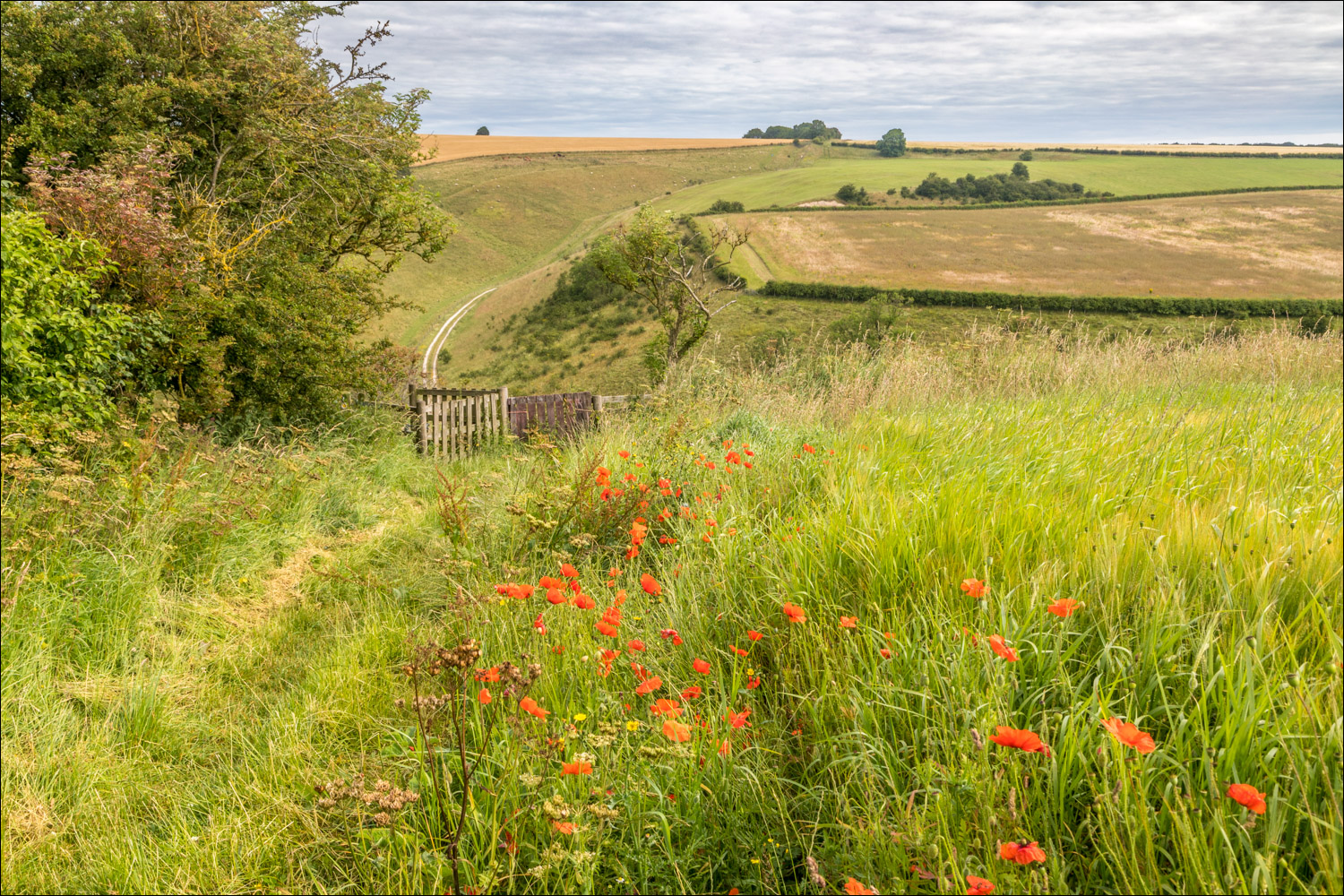
There follows a descent into Vessey Pasture Dale and a climb back out of it...


We arrive at the foot of the dale, and climb up a path on the left of the chalk track

Looking back to Cow Wold...


Climbing Vessey Hill

More views back over the dale to the wold...


Still on the Wolds Way, the highest section of the walk (around 600 feet) as we walk towards North Plantation...


Looking back along our path

Views on our left towards Wharram Percy Plantation...


Deep Dale in the distance

Another view across the fields in the direction of Wharram Percy

Deep Dale on our left - the Wolds Way descends into the dale, but we continue along the top of the wold

Looking back

Just beyond the woodland on Wharram Percy Wold we turn right to join a narrow country lane

We descend past a disused chalk quarry

Looking across to Fairy Dale

We pass above the old quarry

The section along the lane is quite lengthy, and will take us as far as Fimber, but it's not an issue as there's hardly any traffic

A small pond at the foot of the vale...

...and a couple of contented horses

Marbled White butterflies - there were hundreds of them along this section of the walk

Looking back along the lane...

...and now in our direction of travel

Whay Dale on our left

A lovely section of the walk as we follow the lane through the dale...


Just before Fimber we cross the county boundary, leaving North Yorkshire to enter into East Yorkshire

We pass through Fimber

Looking back to Fimber as we walk through South Field. The terrain changes here and becomes flatter, with gently rolling fields

The farmer has sown his crop over the path , which almost disappears here...


Looking towards Sledmere...

...and now back towards Fimber

We arrive back in Wetwang, and follow this lane along the edge of the village in order to avoid the busy road which runs through it

Having finished the walk, we drive back to Thixendale to collect the other car, and notice this tempting sign...

Guilt free tea and cakes
