Route: Catbells
Area: North Western Lake District
Date of walk: 16th January 2025
Walkers: Andrew and Gilly
Distance: 3.8 miles
Ascent: 1,200 feet
Weather: Sunshine and blue skies
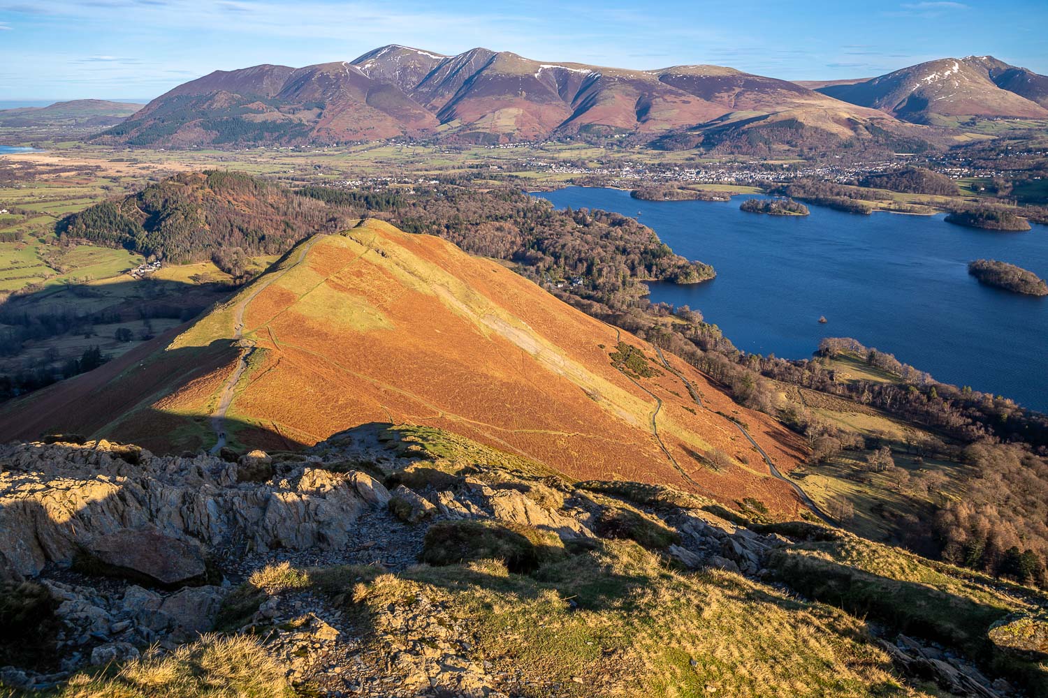
The ascent of Catbells (spelt ‘Cat Bells’ on the OS map) makes for an almost perfect short fell walk. The climb is an exciting one and the views throughout are superb. However these virtues, and its proximity to Keswick, bring with it a drawback – the fell is too popular for those who prefer to walk in relative peace and quiet. It’s therefore best to visit the fell early and/or out of season. With that in mind we made an early start and parked in one of the roadside spaces at the foot of the fell, near Hawse End.
The climb starts immediately and is a delight every step of the way. There are a couple of steep rocky sections where hands need to be taken out of pockets, the first being by the memorial tablet to Thomas Arthur Leonard, and the second being just below the top, but these are easily surmounted and there are no dangers. I’d describe it as a clamber rather than a scramble. These sections could be awkward to descend though, so I recommend that this route is followed in the direction described. Before long we were at the summit of Catbells enjoying the wonderful views over Derwent Water to the east and Newlands Valley to the west. We’ve not been up here for over 6 years, too long an absence for such a lovely fell
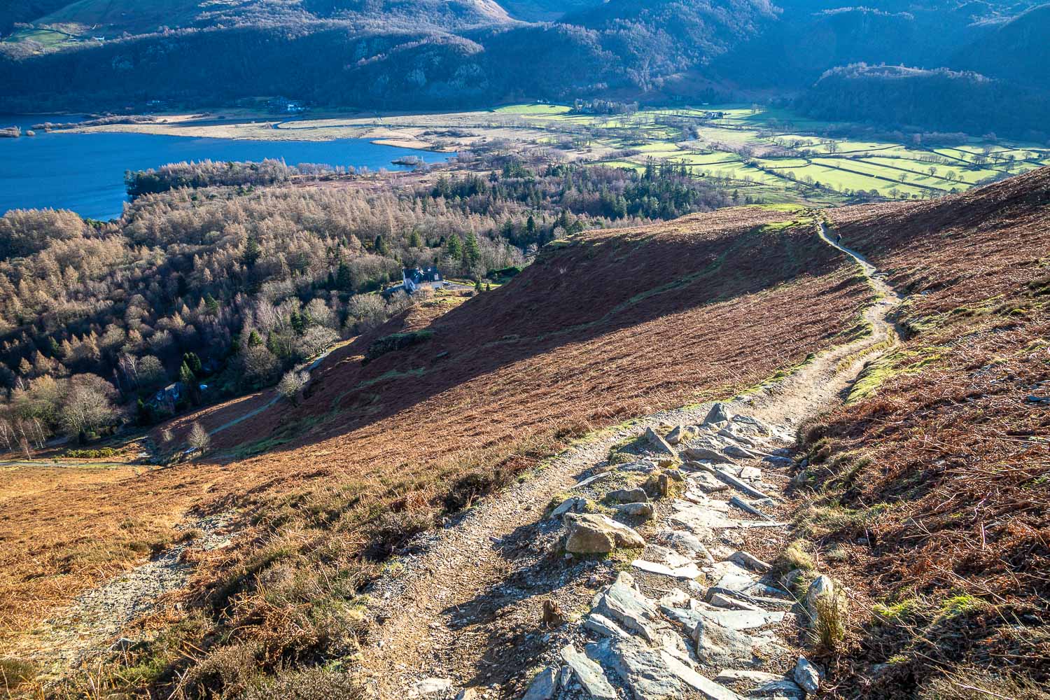
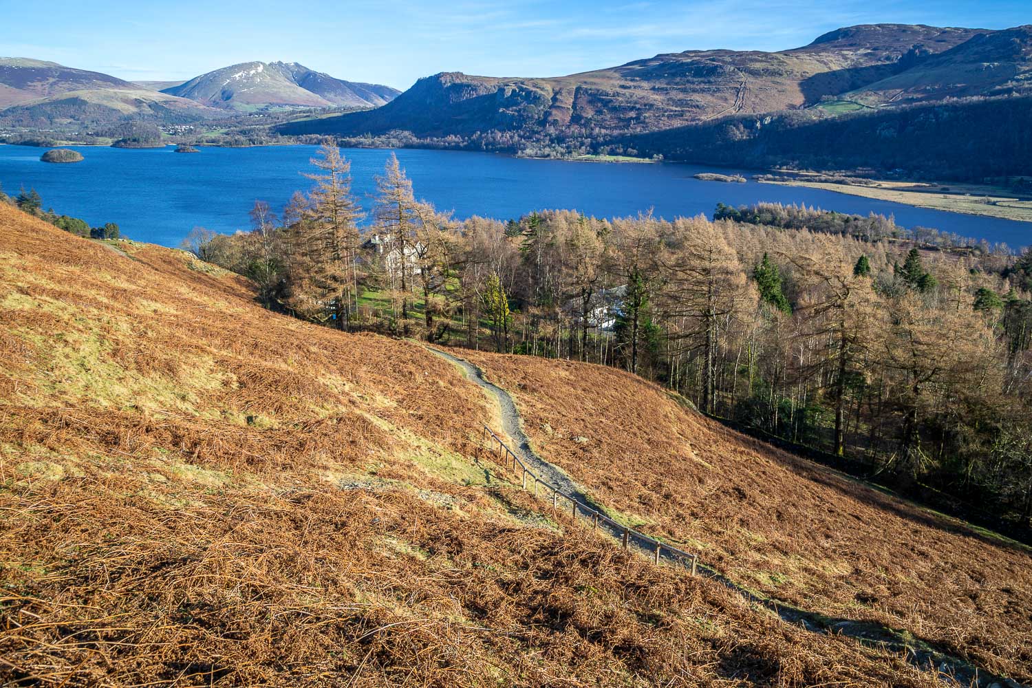
We then set off down the easy descent path which has been much improved in recent years, and which is set at an easy gradient. On reaching Hause Gate we left the ridge and forked off to the left to descend towards Borrowdale and the head of Derwent Water. At a junction marking we turned left again to start the return leg. There is a longer alternative way back by the shore of Derwent Water. The easy terraced path gives wonderful views over Derwent Water all the way back to the start.
For other walks here, visit my Find Walks page and enter the name in the ‘Search site’ box
Click on the icon below for the route map (subscribers to OS Maps can view detailed maps of the route, visualise it in aerial 3D, and download the GPX file. Non-subscribers will see a base map)
Scroll down – or click on any photo to enlarge it and you can then view as a slideshow


