Route: Brock Crags, The Nab and Rest Dodd
Area: Far Eastern Lake District
Date of walk: 9th July 2014
Walkers: Andrew and James
Distance: 7.2 miles
Weather: perfect
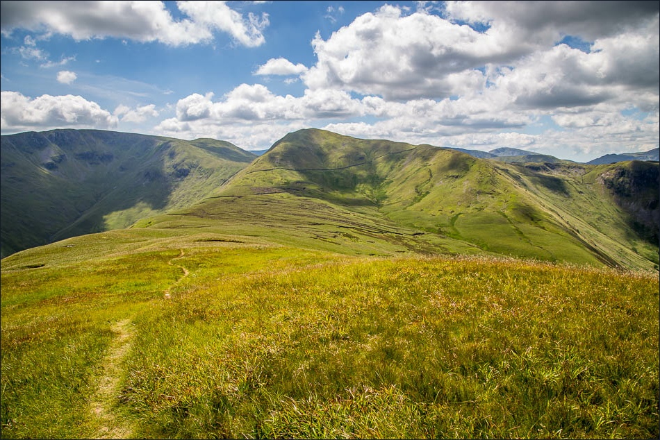
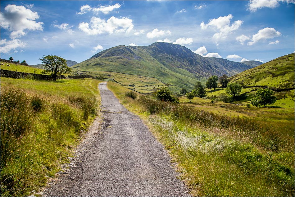
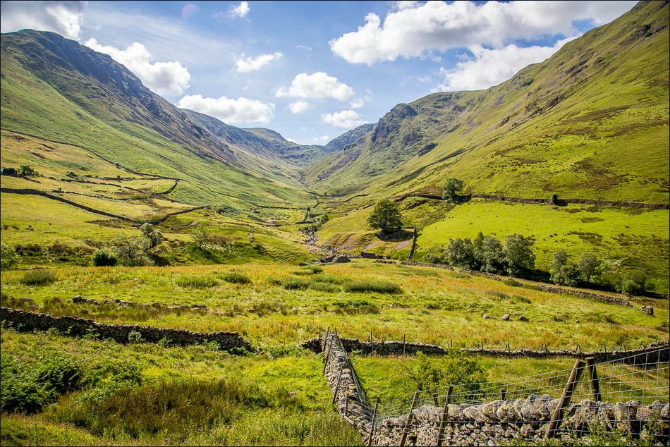
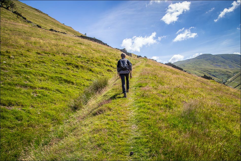
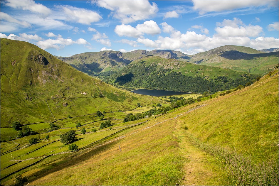
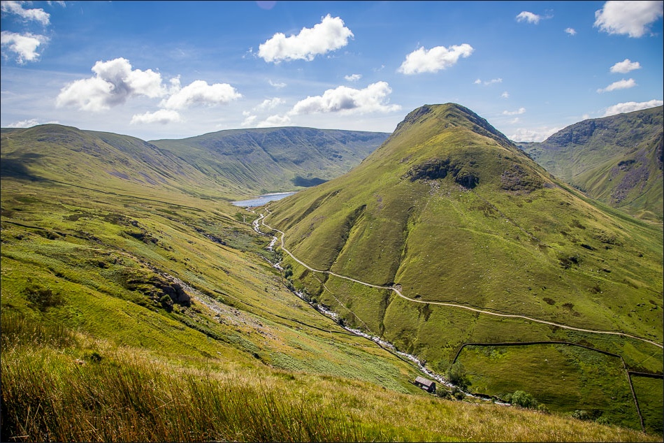
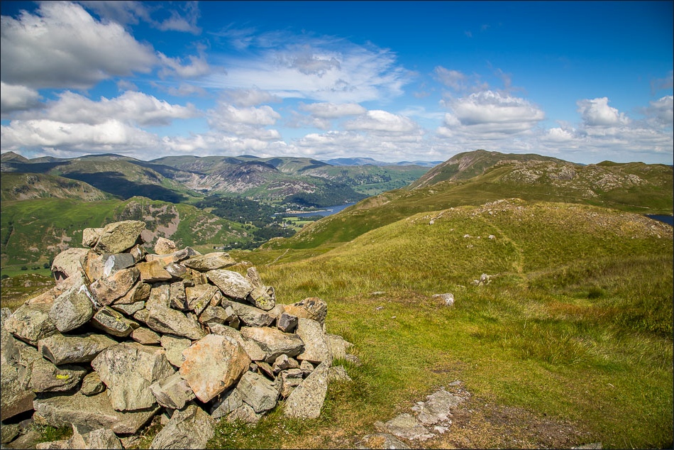
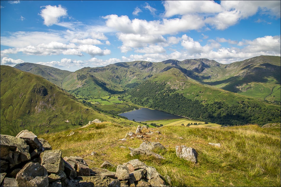
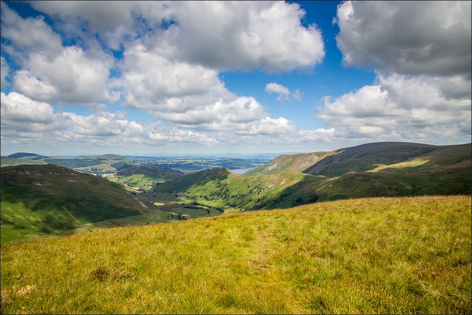
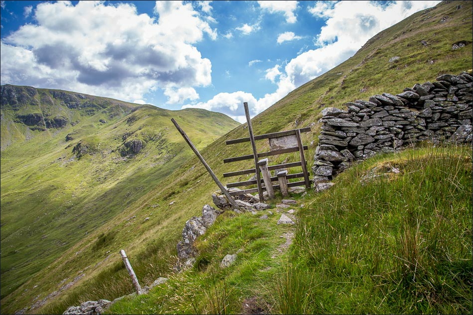
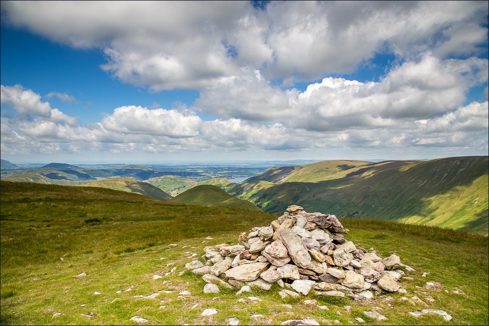
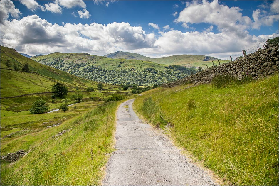
Today’s walk made it a hat trick of wonderful walks, and inspired by yesterday’s walk in this area we returned to the far east of the district, this time starting our walk from the remote village of Hartsop. We started off along a wide track leading out of the village but soon turned off to follow a grassy path up the slopes of Brock Crags. It was a beautiful day and the views from the top of the fell were superb
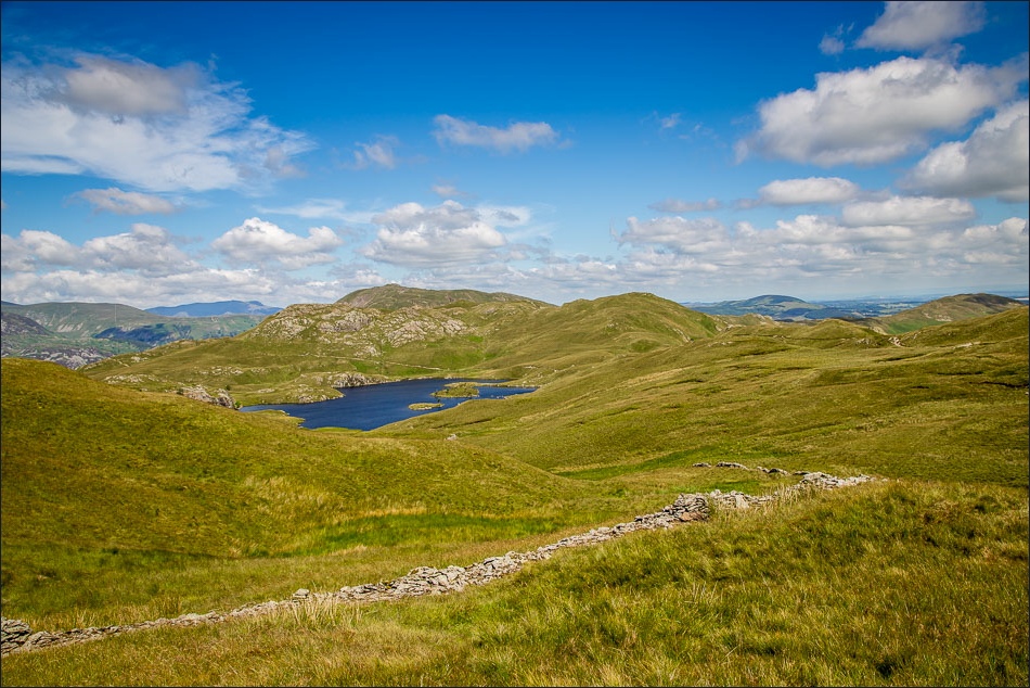
We approached The Nab via a pathless route which followed the contours of the OS map and proved to be a good way to the top (thanks partially to the recent dry spell of weather – I wouldn’t like to come this way after a period of rain)
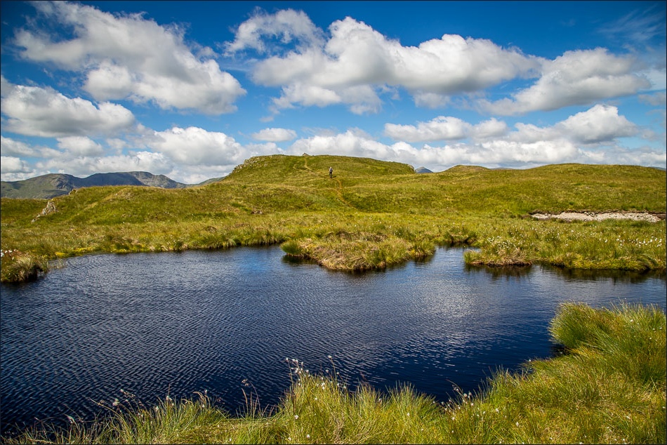
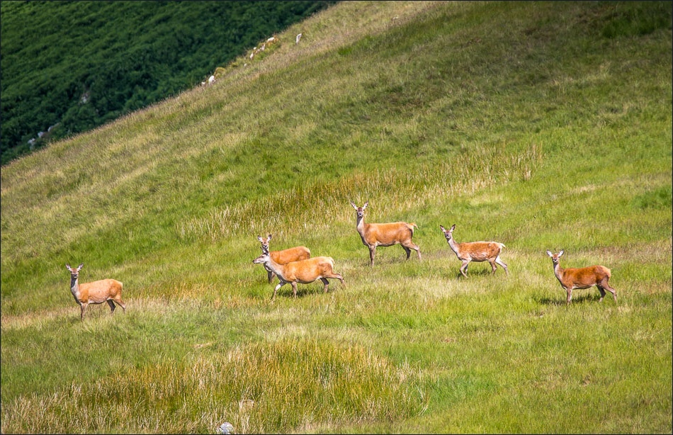
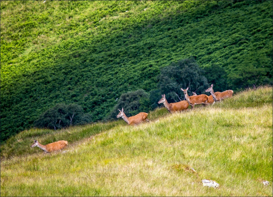
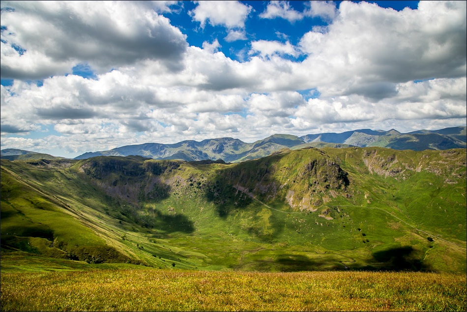
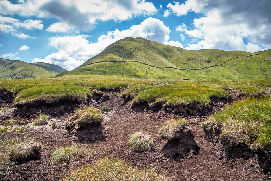
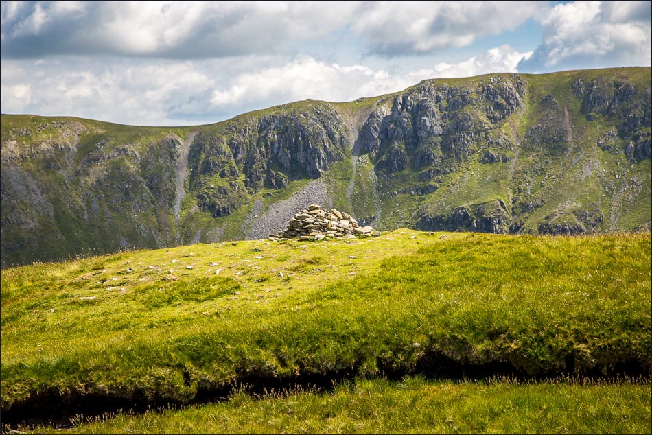
On the way to The Nab and for the second day running we spotted some red deer. Having reached the top of the fell we turned our attentions towards Rest Dodd and walked through peat hags which would be horrendous after rain but which were thankfully dry today. There was much huffing and puffing up the final steep slope of Rest Dodd but we eventually made it to the top and admired the fantastic views
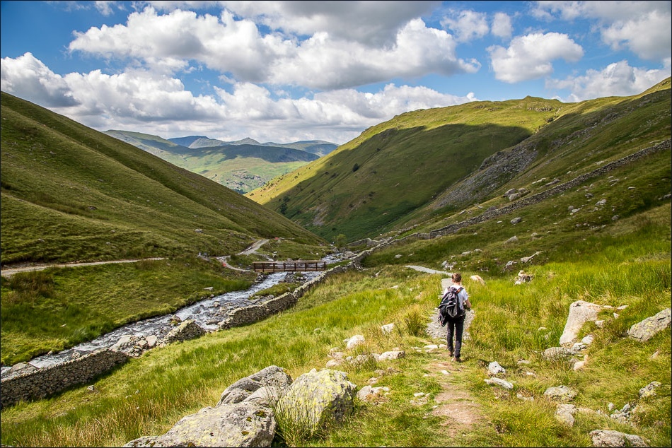
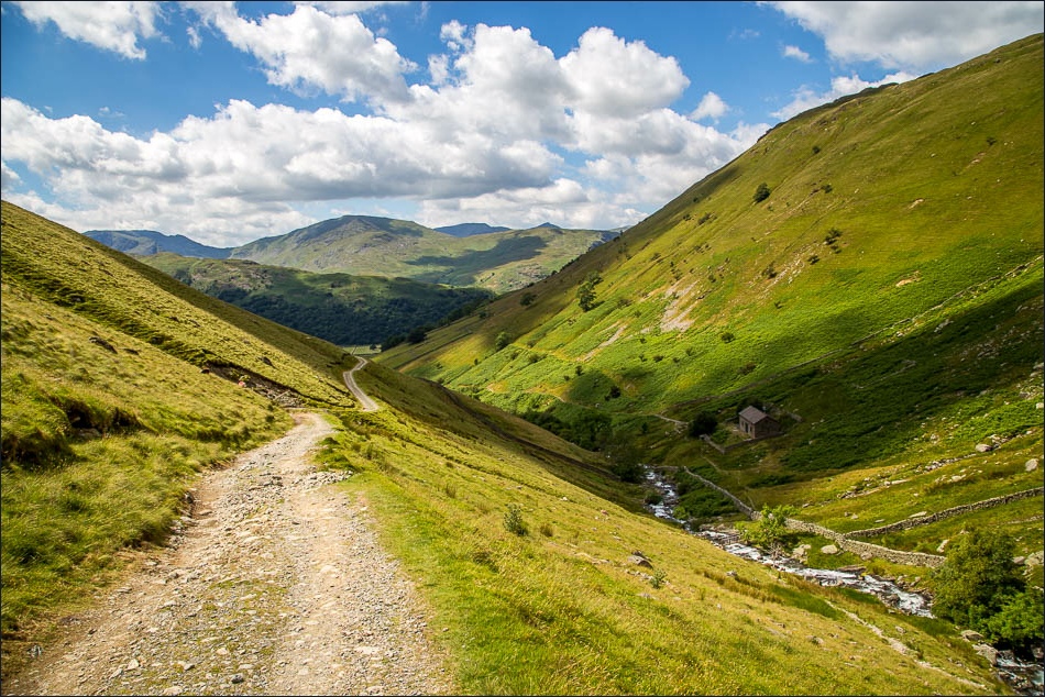
We then descended to Hayeswater and and walked back along the easy track into Hartsop
Click on the icon below for the route map (subscribers to OS Maps can view detailed maps of the route, visualise it in aerial 3D, and download the GPX file. Non-subscribers will see a base map)
Scroll down – or click on any photo to enlarge it and you can then view as a slideshow
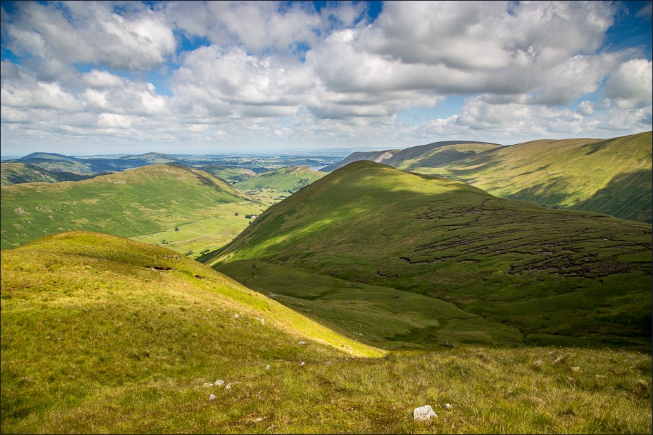
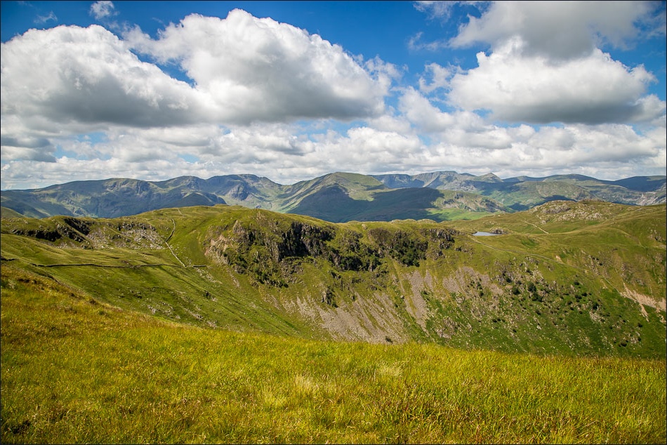
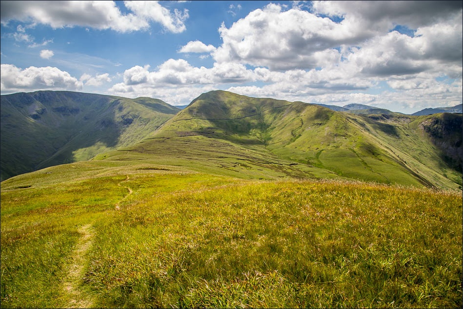
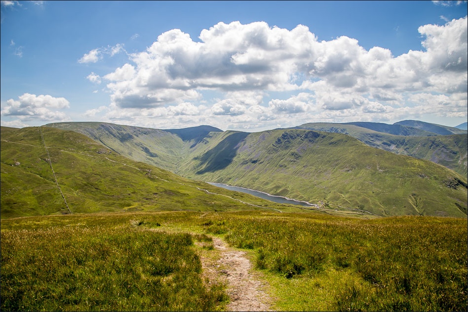
Our next objective is The Nab, which we reach by descending the ridge and traversing up to the left of the peat hags (pathless most of the way)
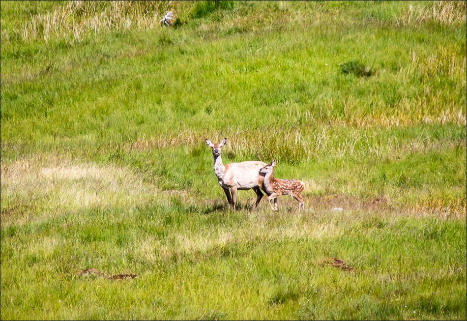
We’d brought the telephoto lens along, hoping to see some red deer (see yesterday’s walk for more deer photos)
