
Route: Borrowdale and Derwent Water
Area: North Western Lake District
Date of walk: 13th February 2017
Walkers: Andrew
Distance: 6.4 miles
Weather: Sunny, but very hazy
For the third day running, a window-rattling wind made a low level walk a good option – not that I mind as the fells aren’t going anywhere. Having walked the southern half of the Borrowdale valley yesterday I decided to revisit the northern half today
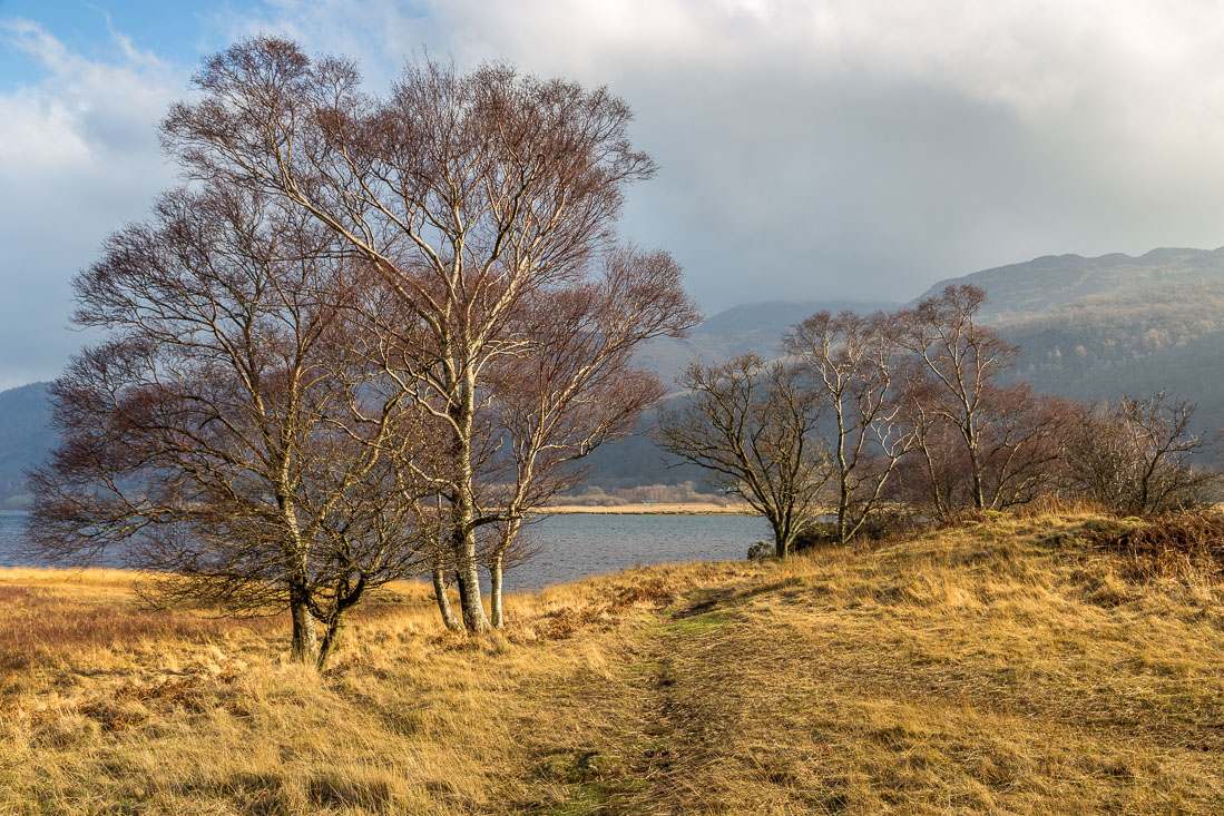
I parked in the pretty village of Grange and walked along the road to join the Cumbria Way, which took me through some exquisite scenery to the head of Derwent Water. I’ve walked the lakeshore path hundreds of times over the years but could never tire of it
When I reached Hawse End I left the lake to start the return leg, and joined the elevated path running along the foot of Catbells. There are superb views from here, although it was very hazy today
The path gradually descended to Manesty and I then rejoined the road to walk back into Grange and end another walk in this lovely valley
For other walks here, visit my Find Walks page and enter the name in the ‘Search site’ box
Click on the icon below for the route map (subscribers to OS Maps can view detailed maps of the route, visualise it in aerial 3D, and download the GPX file. Non-subscribers will see a base map)

Scroll down – or click on any photo to enlarge it and you can then view as a slideshow

Drama in the garden before I set off this morning - a stoat has spotted something (anyone of a sensitive disposition may want to scroll down to the squirrel photos)…

It catches a rabbit twice its size, kills it with a bite to the back of the neck…

…and carries it off

Shortly after that, a red squirrel. Stoats can climb trees but squirrels are so agile I doubt they are a threat to them


Later that morning, I parked near the bridge at Grange for the start of the walk - this is looking along the River Derwent

Walking out of Grange

Holy Trinity Church

Ellers Beck, looking towards Maiden Moor

I leave the road here and follow the Cumbria Way towards the head of Derwent Water…


Looking back to Maiden Moor


Shepherds Crag on the far side of the valley


Walla Crag as I reach the head of Derwent Water


Foot of Catbells

Approaching Manesty Park


The excellent boardwalk, made out of recycled plastic

I arrive at the lakeshore

Bonnie waits for me to open the gate

Myrtle Bay…


Manesty Park


Landing stage for the Keswick Launch

Brandelhow Wood

St Herbert’s Island

‘Entrust’ at Victoria Bay, commemorating the centenary of the National Trust’s first ever land purchase in 1902, part of the Brandelhow estate

I leave the lake here to head towards Hawse End

Old barn

A brief glimpse into Newlands Valley as I reach Hawes End

Looking back to Keswick from the elevated path at the start of the return leg

Otterbield Bay

Skiddaw is obscured by the cloud and haze


Brandelhow Point

View from the seat erected in 1941 in memory of Sir Hugh Walpole

Descending back into Borrowdale


I arrive back in Grange at the end of a wonderful walk
