Route: Blea Rigg
Area: Southern Lake District
Date of walk: 3rd January 2013
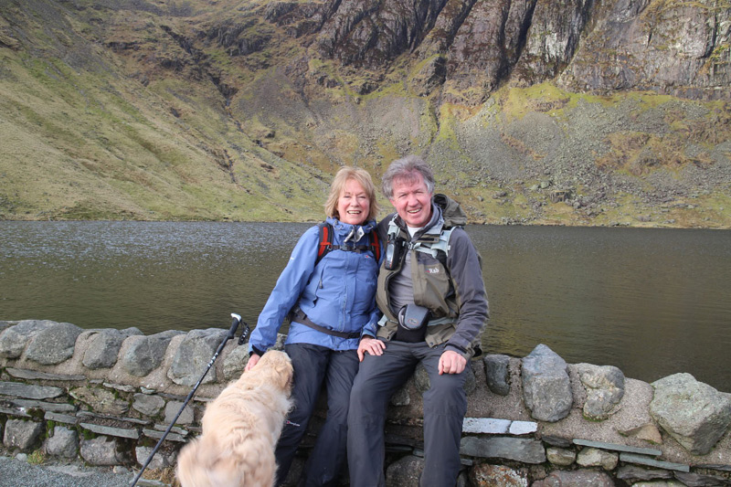
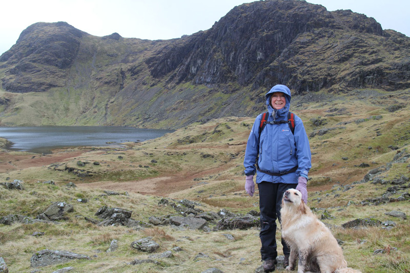
Walkers: Andrew and Gilly
Distance: 4.8 miles
Ascent: 1,500 feet
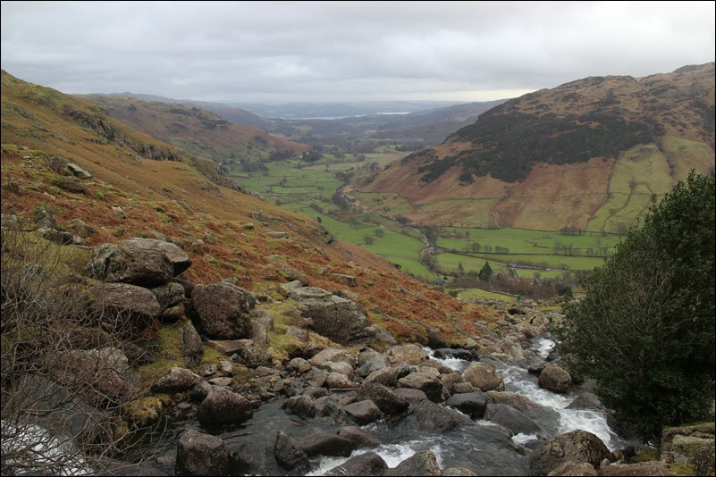
We drove over to Langdale and parked at the free NT car park at the New Hotel. We then climbed up to Blea Rigg (1,776 feet) via Stickle Ghyll.
We’d intended to climb High Raise and Thunacar Knott as well but the weather was closing in and we were short of time, so returned the way we’d come.
Click on the icon below for the route map (subscribers to OS Maps can view detailed maps of the route, visualise it in aerial 3D, and download the GPX file. Non-subscribers will see a base map)
Scroll down – or click on any photo to enlarge it and you can then view as a slideshow


