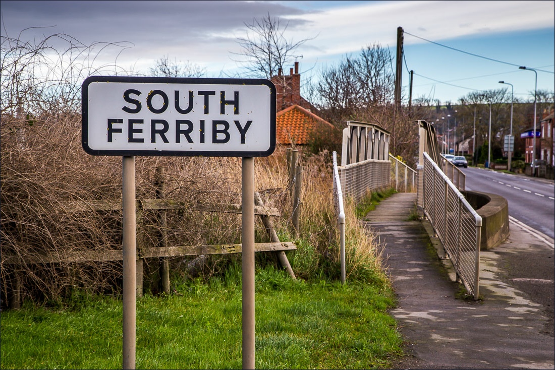
Route: South Ferriby to Barton Haven
Area: North Lincolnshire
Date of walk: 10th January 2016
Walkers: Andrew Gilly and James
Distance: 5.0 miles
Ascent: 200 feet
Weather: bright spells
Having left one car in the car park at Barton Waterside we drove in another to Ferriby Marina on the south bank of the River Humber – this plan would enable us to enjoy a linear walk without having to retrace our footsteps
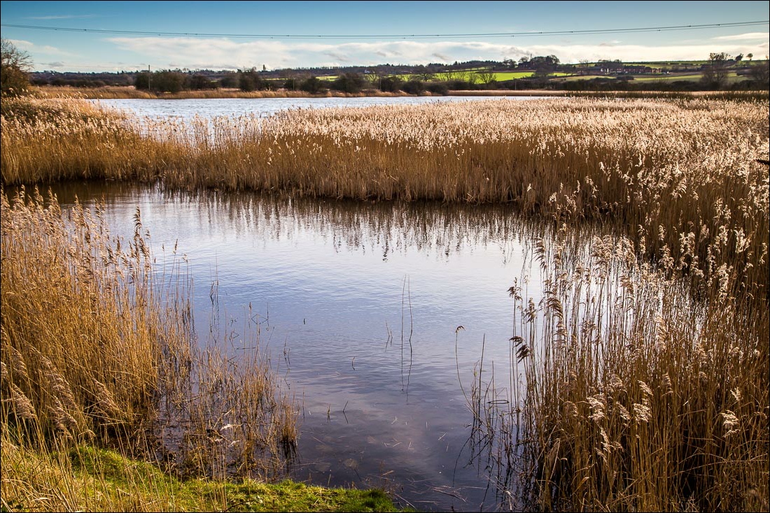
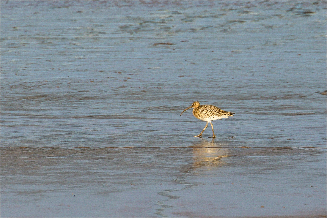
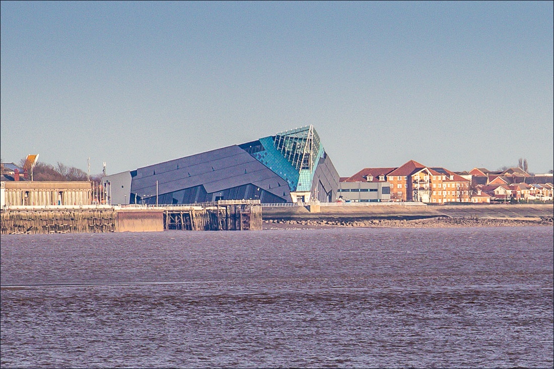
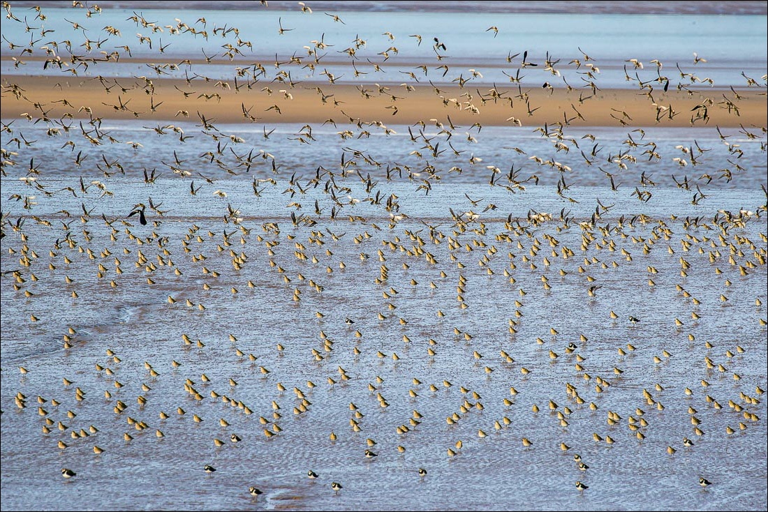
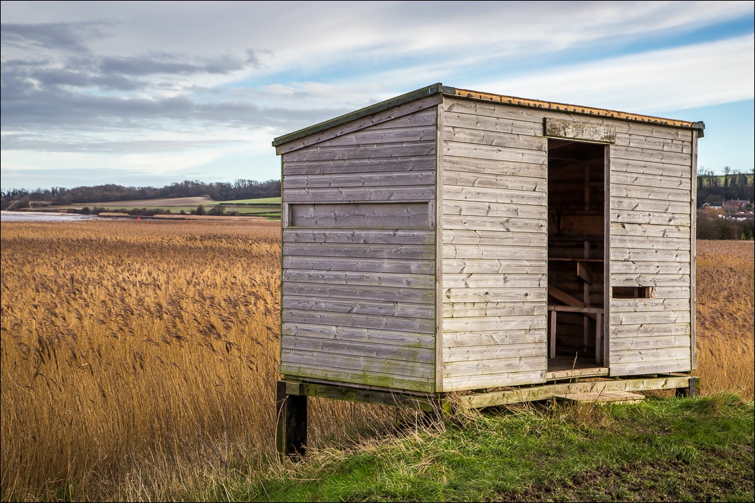
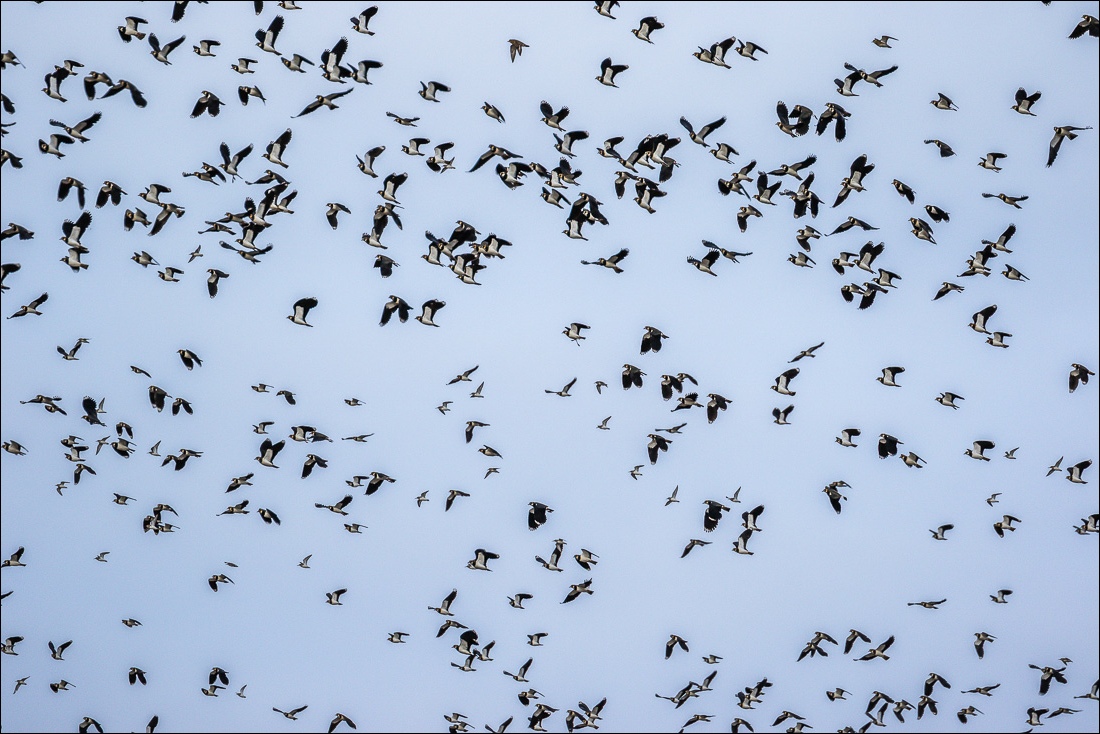
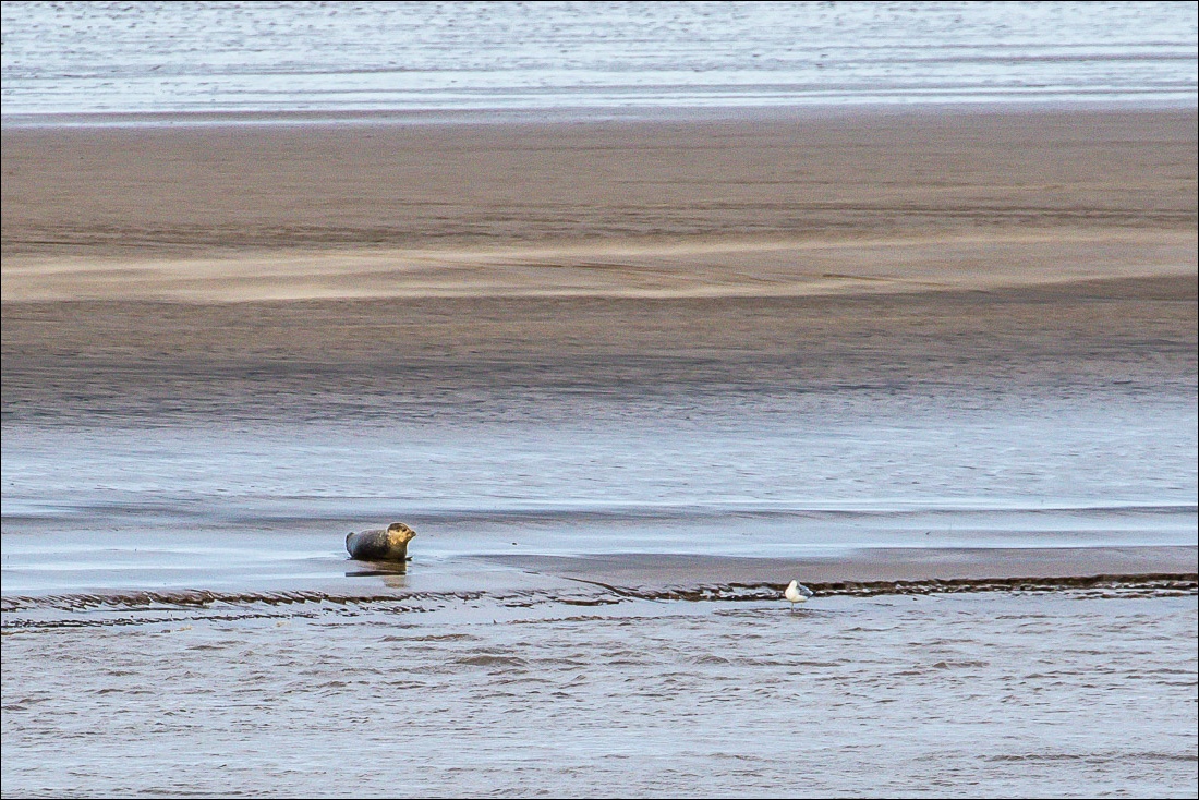
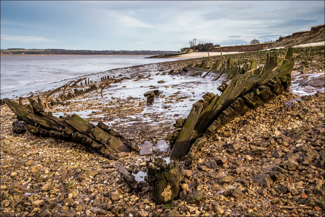
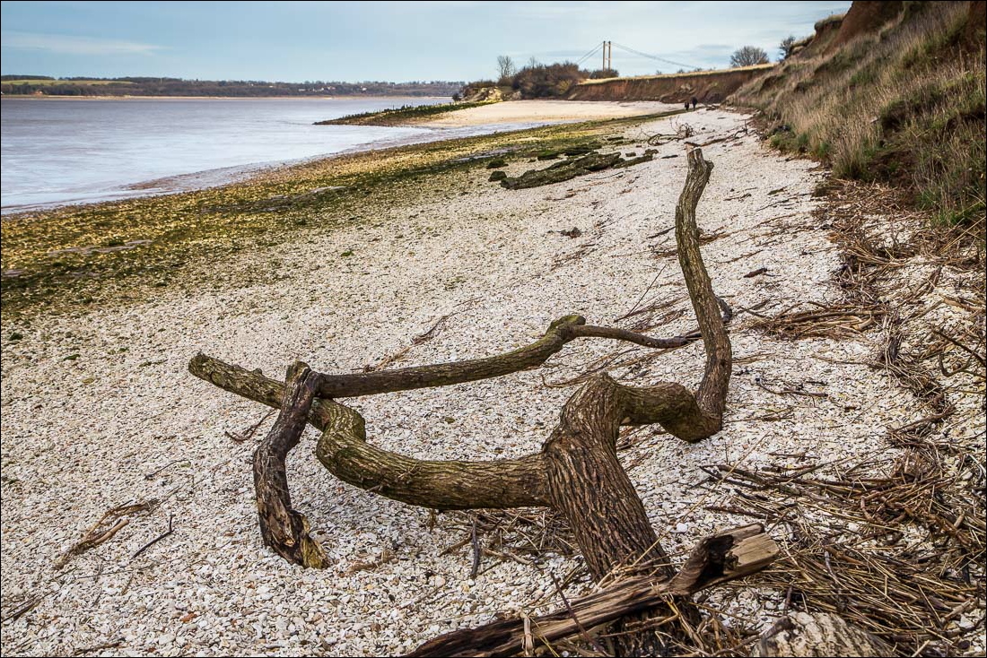
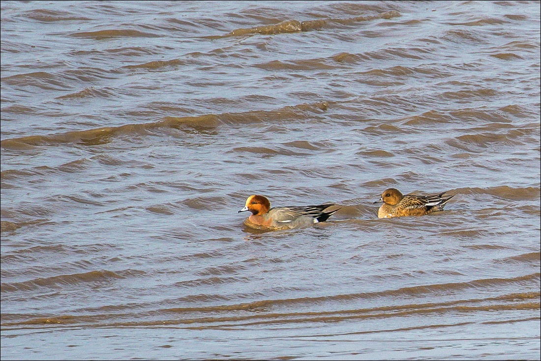
We set out along the foreshore path in the direction of Barton. There was a good view across to nearby Read’s Island which is well known as a nationally important estuary habitat with huge colonies of waders and ducks. We had a good sighting of thousands of lapwings as we walked away from the island, and a little further along we spotted a grey seal lying on a mudbank
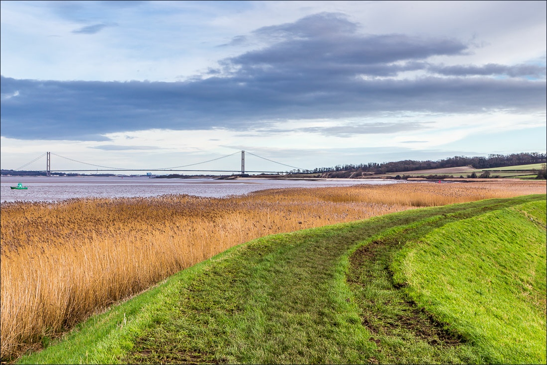
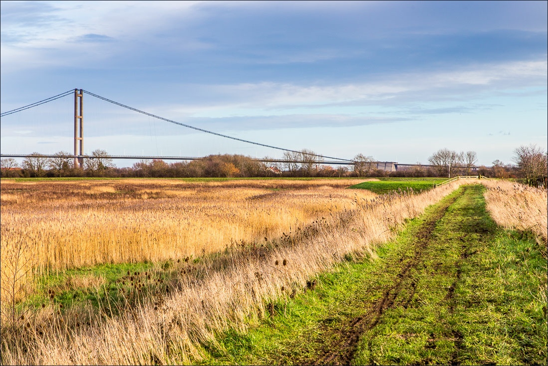
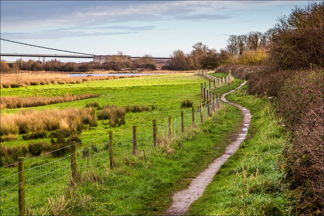
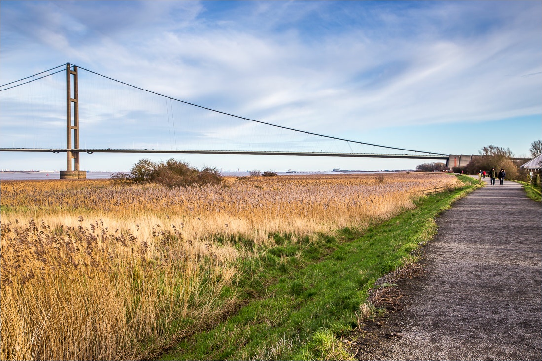
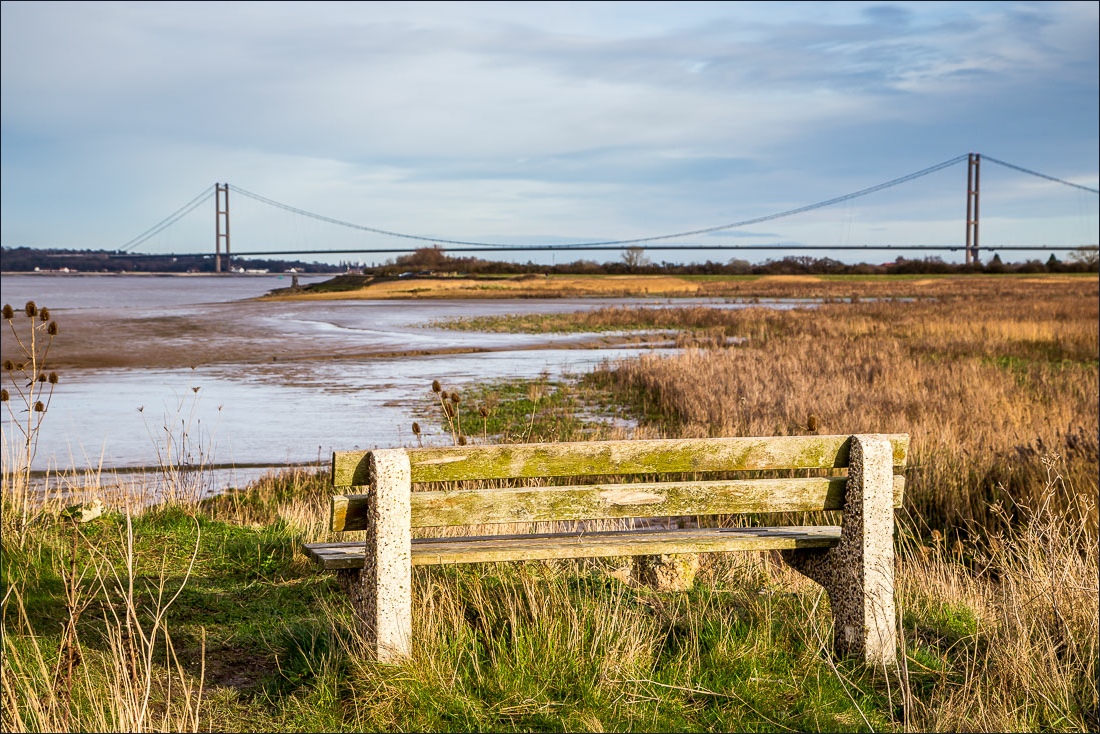
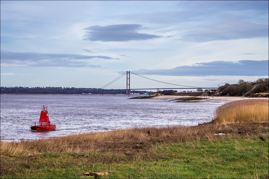
The Humber Bridge was in view throughout the whole walk. It’s such a massive construction that it never seemed to get any nearer. Towards the end we walked past Far Ings National Nature Reserve, though we couldn’t enter as we had Bonnie with us and dogs are not allowed. The last time I was there it was a thrill to see a kingfisher at close quarters from one of the several hides
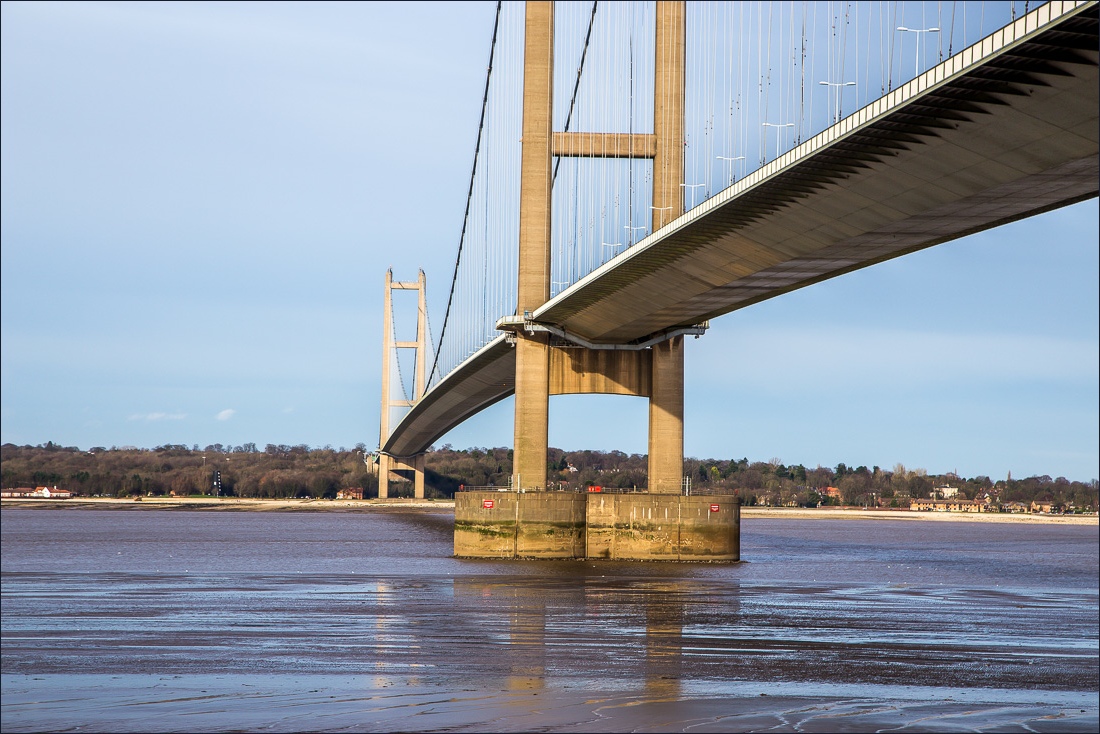
We walked under the Humber Bridge, marvelling at the feat of engineering involved, and just beyond it we arrived back at Barton Haven to complete an enjoyable and interesting walk
For other walks here, visit my Find Walks page and enter the name in the ‘Search site’ box
Click on the icon below for the route map (subscribers to OS Maps can view detailed maps of the route, visualise it in aerial 3D, and download the GPX file. Non-subscribers will see a base map)
Scroll down – or click on any photo to enlarge it and you can then view as a slideshow
