Route: Avignon
Area: Vaucluse, Southern France
Date of walk: 28th September 2018
Walkers: Andrew and Gilly
Distance: 2.0 miles
Weather: sunny and hot
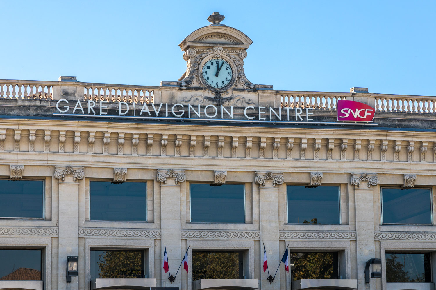
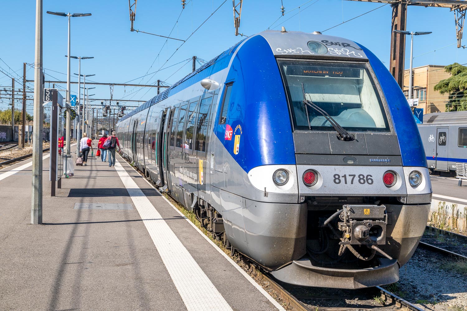
Yesterday marked the end of a wonderful three day walking holiday in France, and we’d have to set off on our journey home today. However, we still had some of the morning to spare and wanted to make the most of our time here, so we made a last minute decision to visit Avignon. We took a taxi into the town and were dropped off at the central railway station just outside the city walls
We didn’t have any particular route in mind, nor did we have time to visit all the attractions to be found here, so were content to wander around as our fancy took us. For this reason the maps page doesn’t contain a route and simply links to a Google map of Avignon
The town has a rich and varied history, being surrounded by restored medieval ramparts and having been the centre of Western Christianity when the papacy was based here between 1309 and 1377
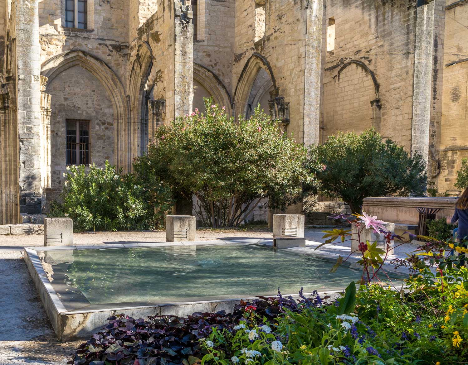
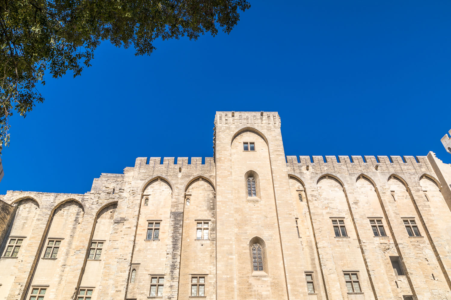
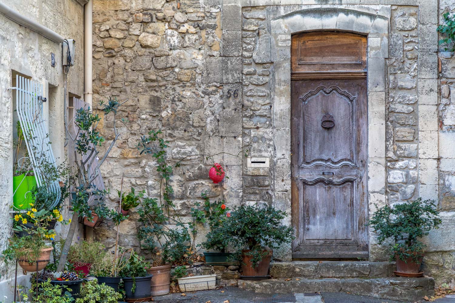
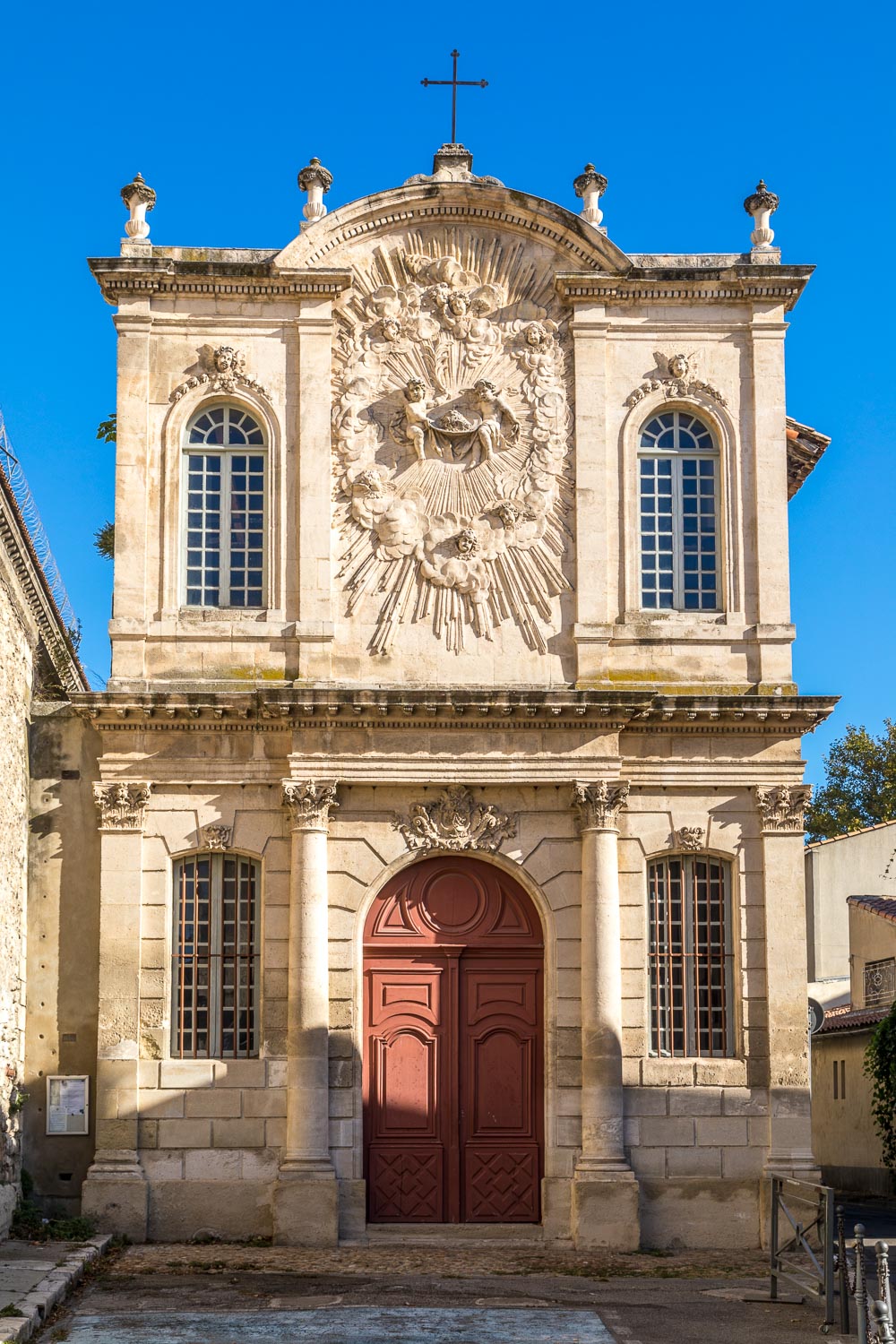
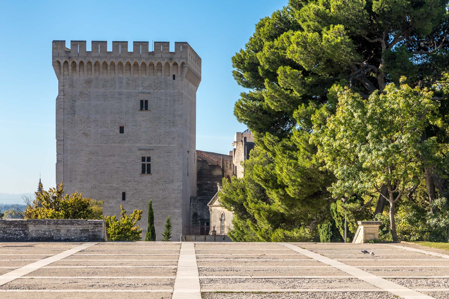
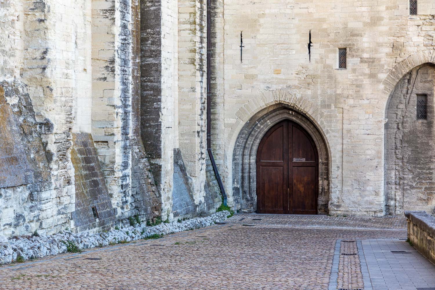
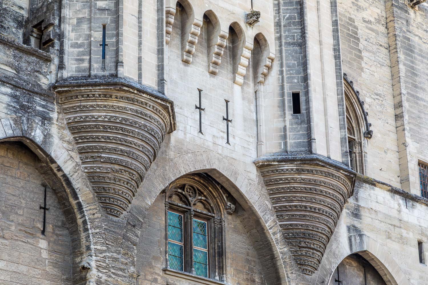
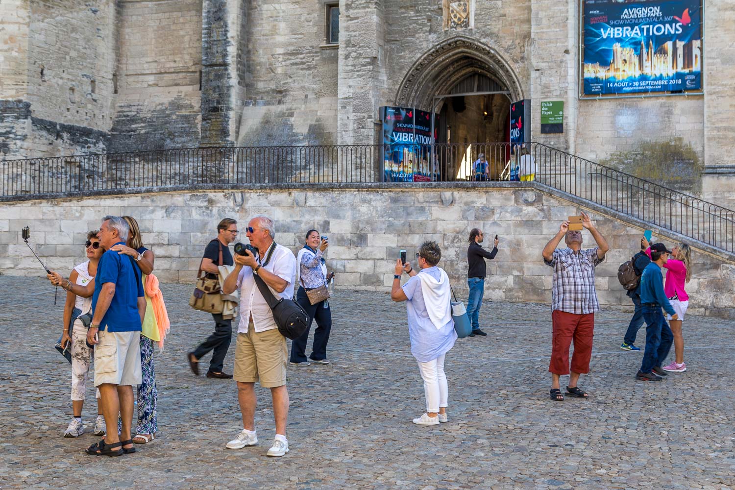
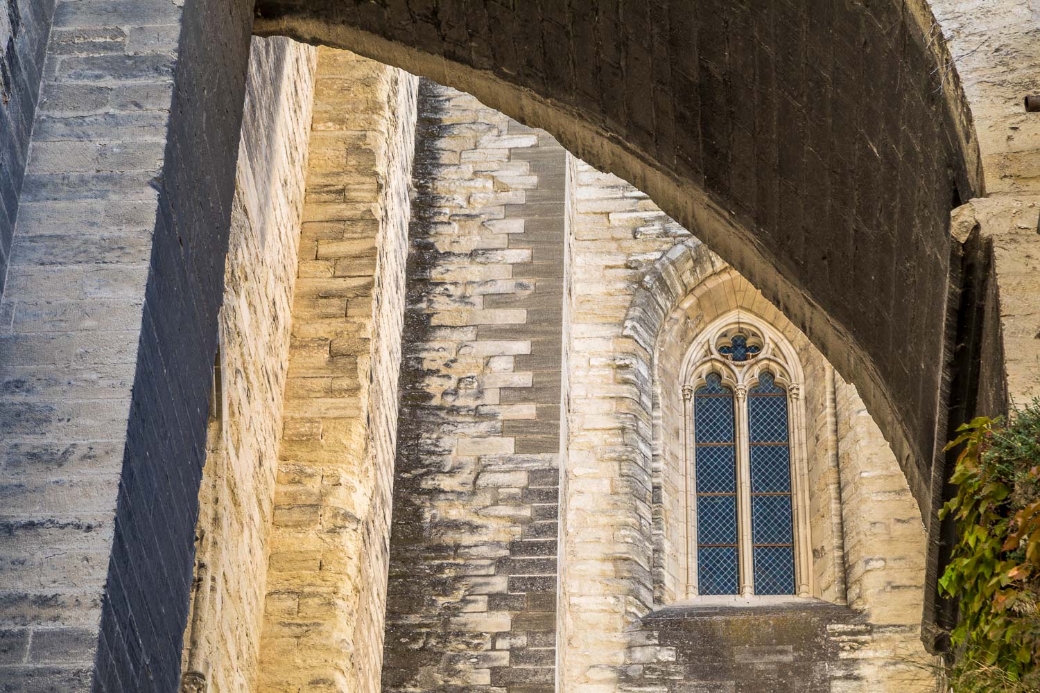
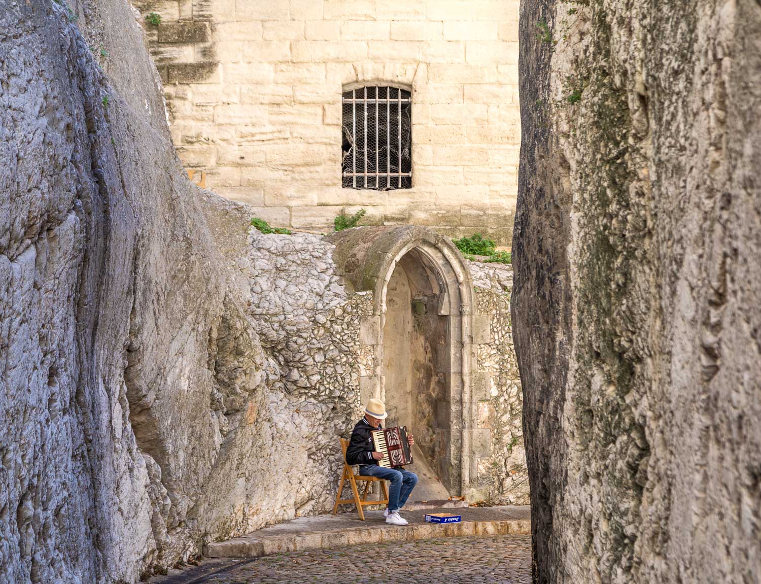
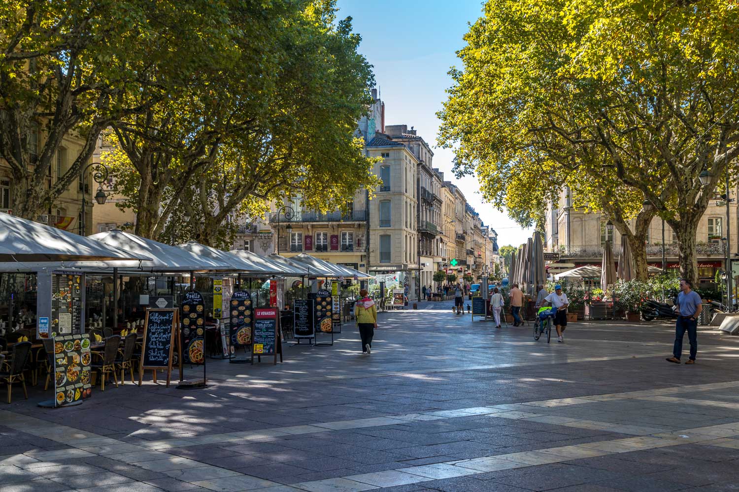
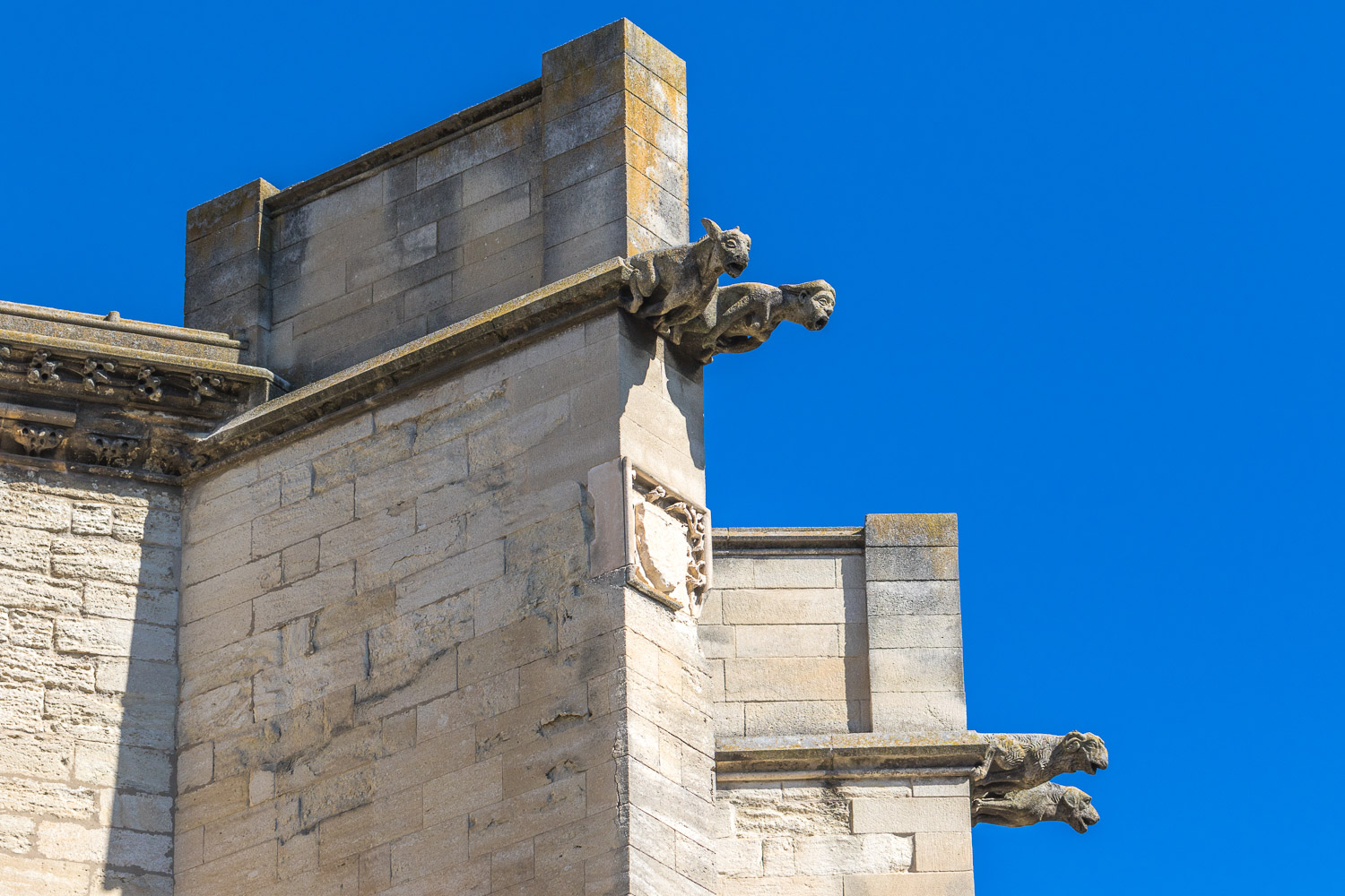
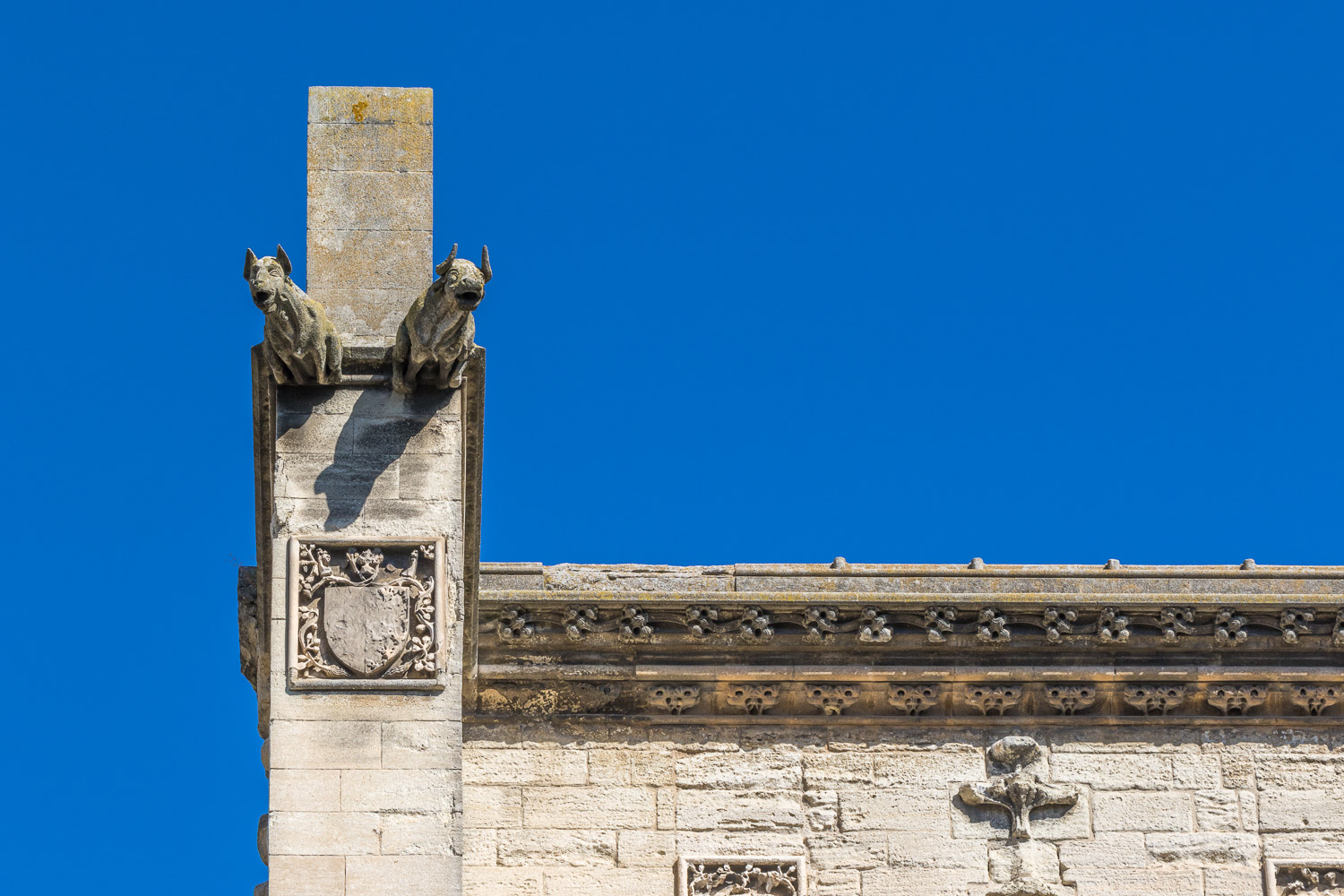
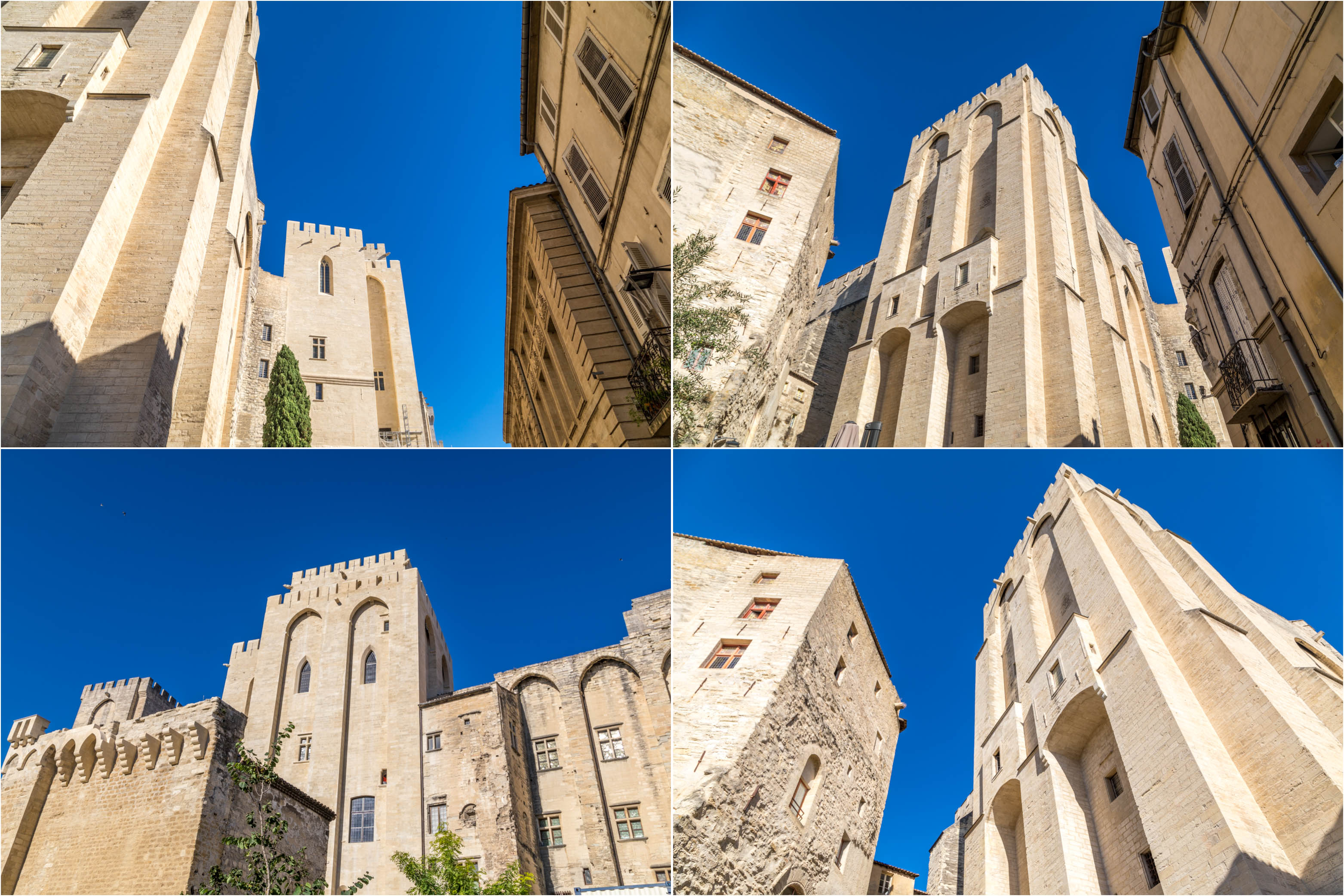
After entering the old town via the Porte de la République we wandered through the Square Agricol Perdiguier (the tourist office is located here from anyone interested) and then walked through the old town to the enormous Palais des Papes – both a palace and a fortress.
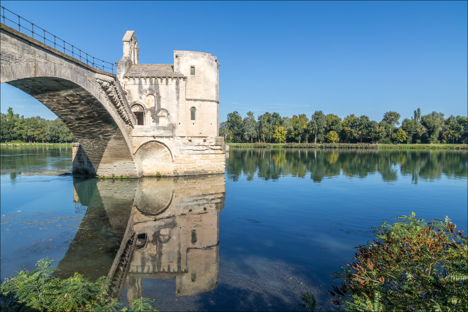
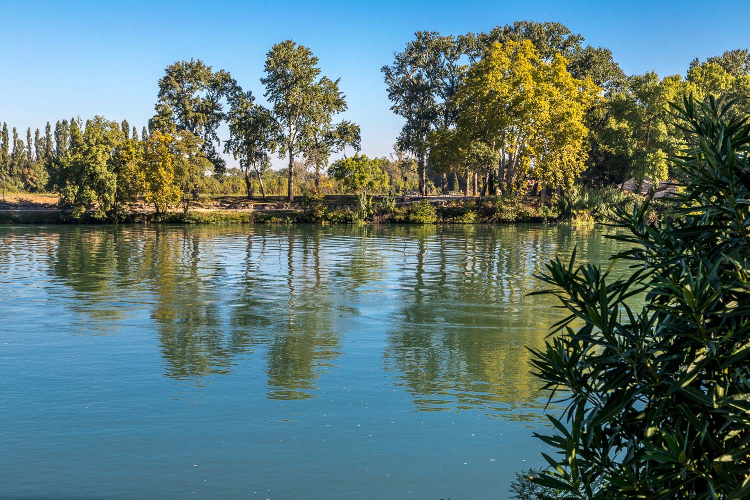
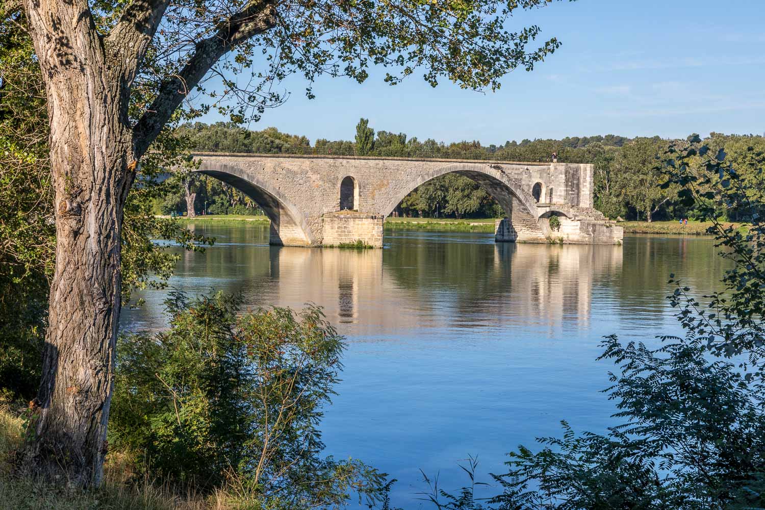
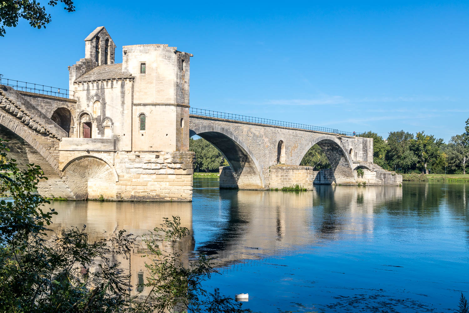
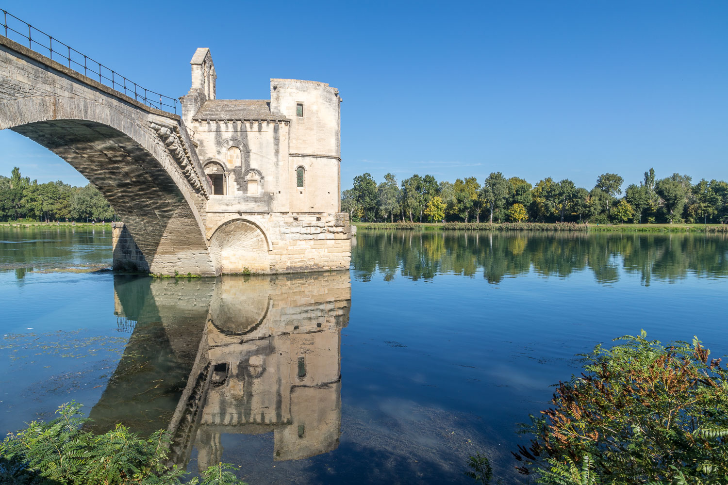
With the well known song of that name ringing around in our heads we then sought out Le Pont d’Avignon, or Pont Saint-Bénézet to give it its correct title. The ancient bridge dates back to 1177 and over the years has been flooded, abandoned and rebuilt – it only spans about half of the Rhône now, but is still an impressive and evocative sight
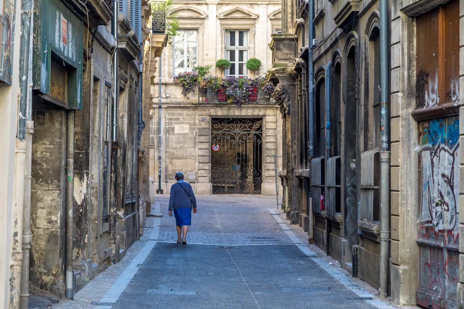
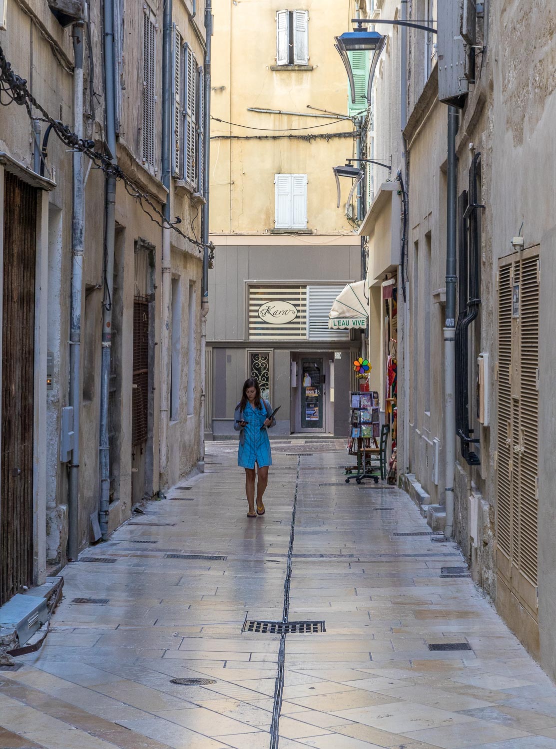
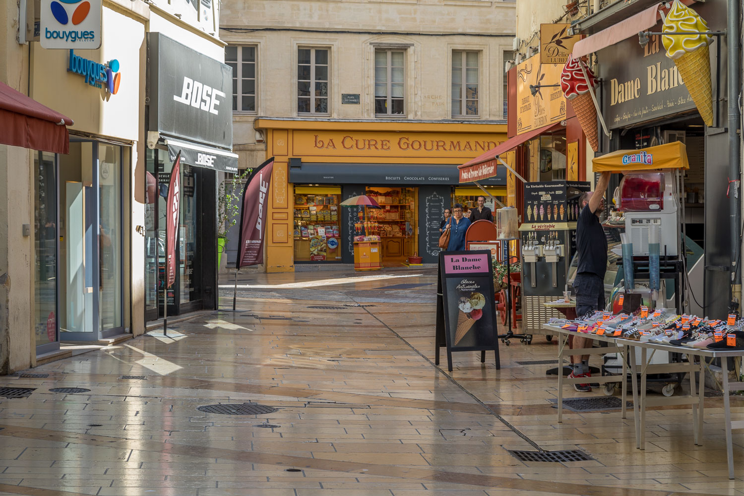
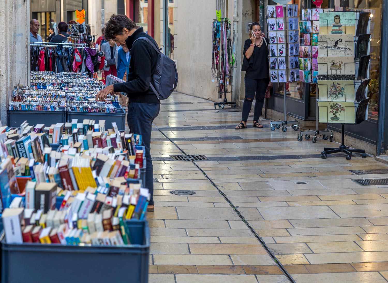
By now time was pressing and a complicated agenda of trains, buses and planes lay ahead, so we made our way back through the old streets of the town, many of them pedestrianised, to start the long journey home
Click on the icon below for a location map
Scroll down – or click on any photo to enlarge it and you can then view as a slideshow
