Route: Ard Crags and Knott Rigg
Area: Northern Western Lake District
Date of walk: 8th August 2018
Walkers: Andrew and Gilly
Distance: 3.6 miles
Ascent: 1,300 feet
Weather: Cloudy with sunny spells, a few showers, windy
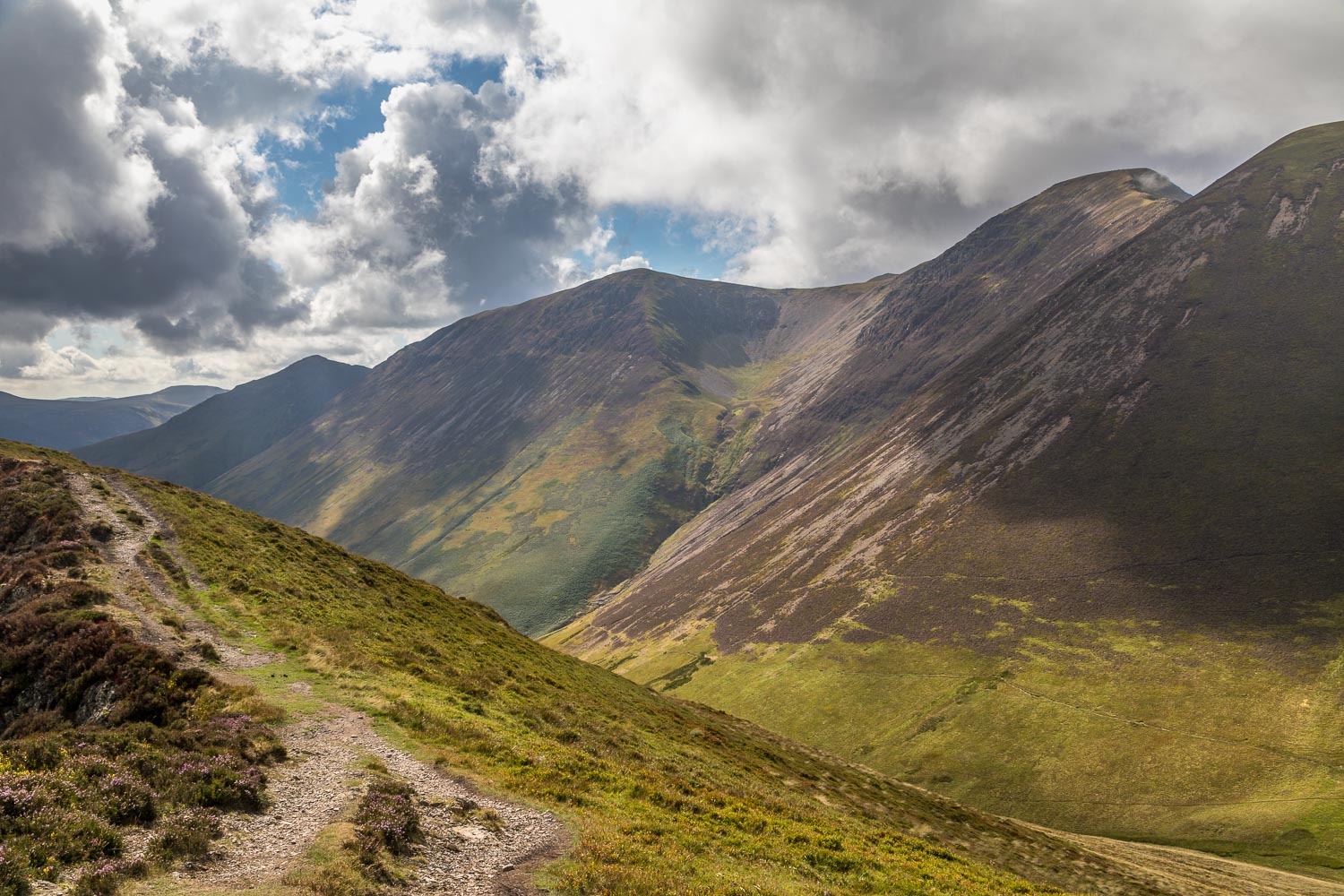
Rain in the morning scuppered our plans for a longer fell walk, but rain after a drought is to be welcomed and so we weren’t disappointed, especially when we remembered that a return visit to Ard Crags and Knott Rigg was well overdue. These two modest fells, part of the same ridge, are set in the midst of some glorious mountain scenery and as an added bonus are unfrequented. This would make for a perfect short afternoon outing
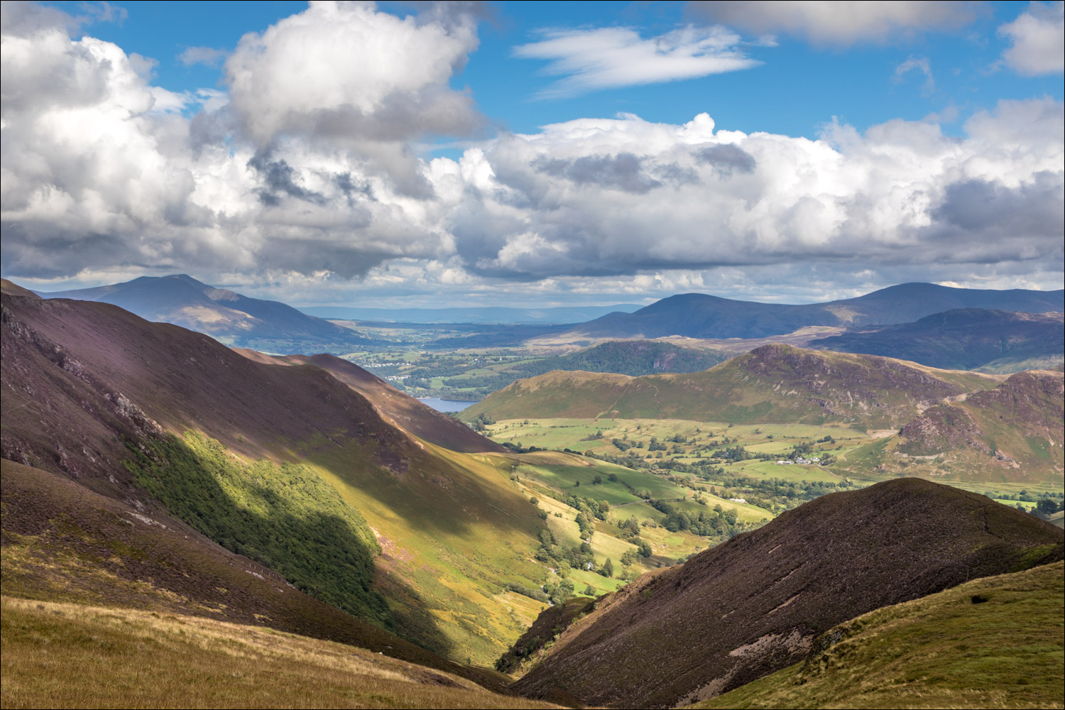
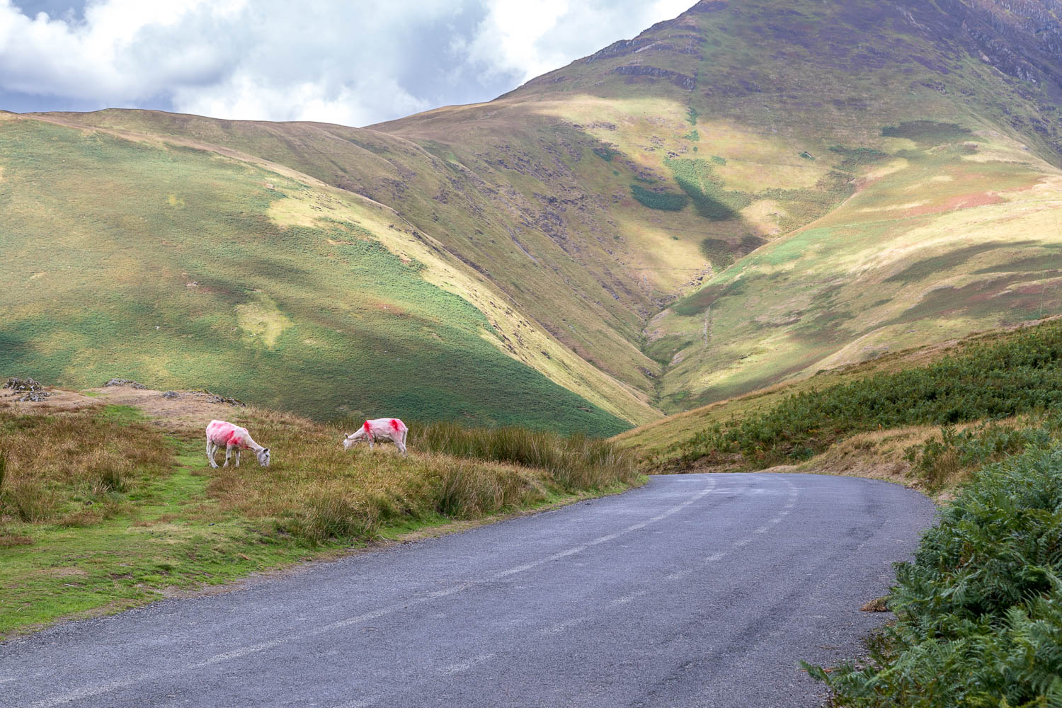
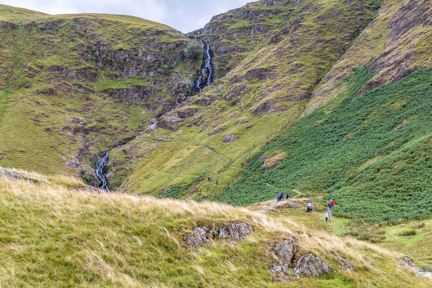
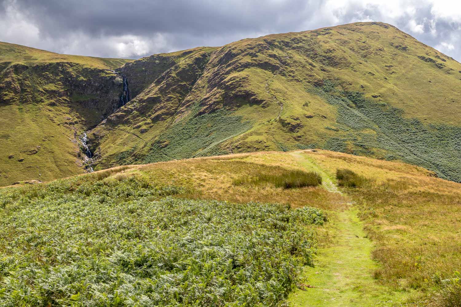
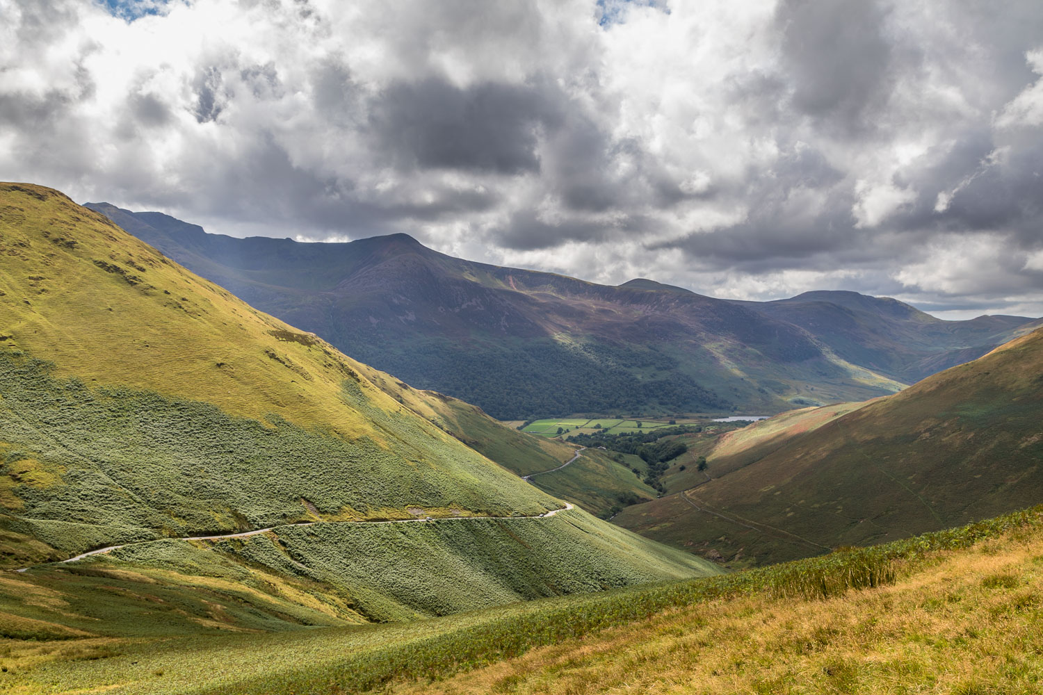
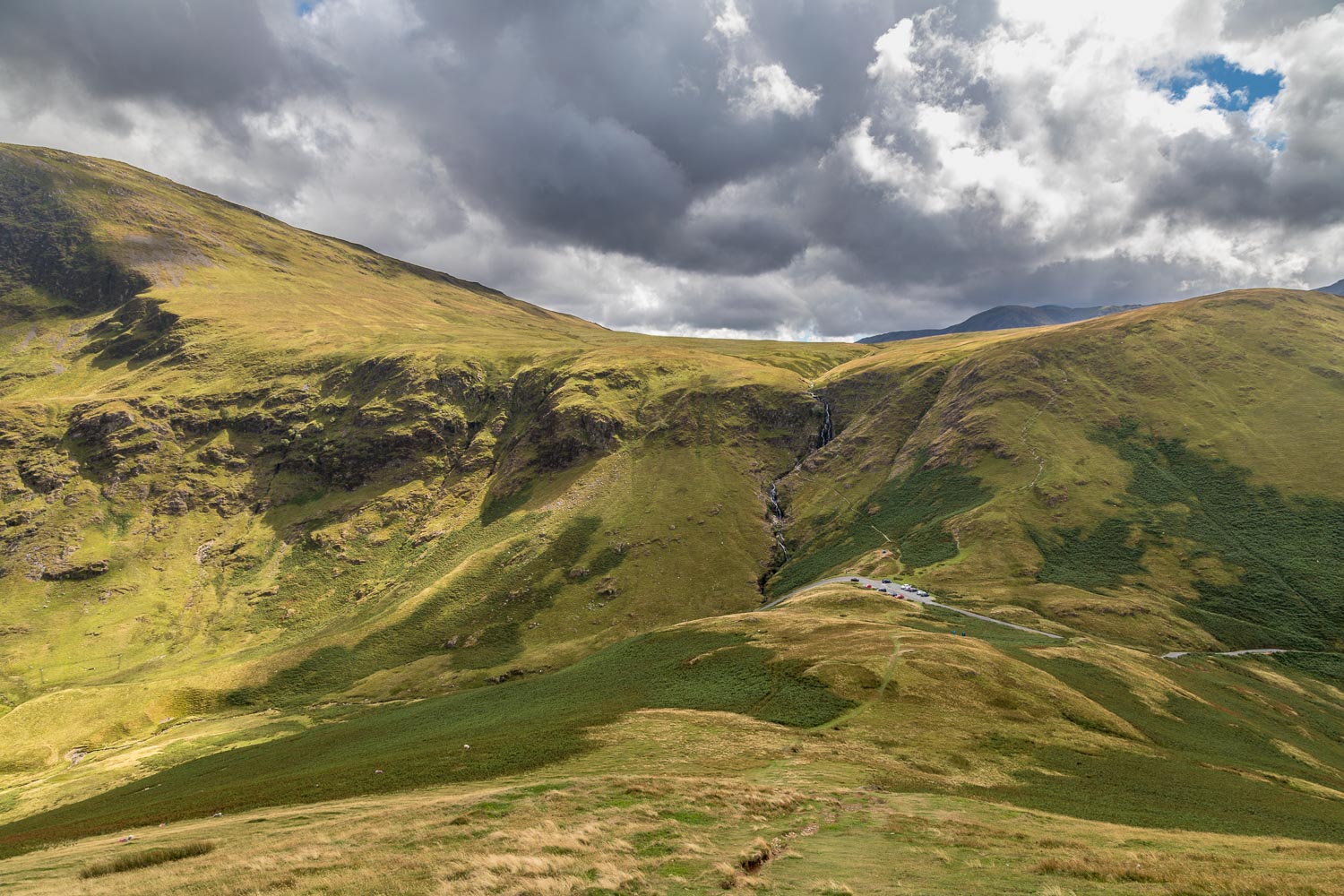
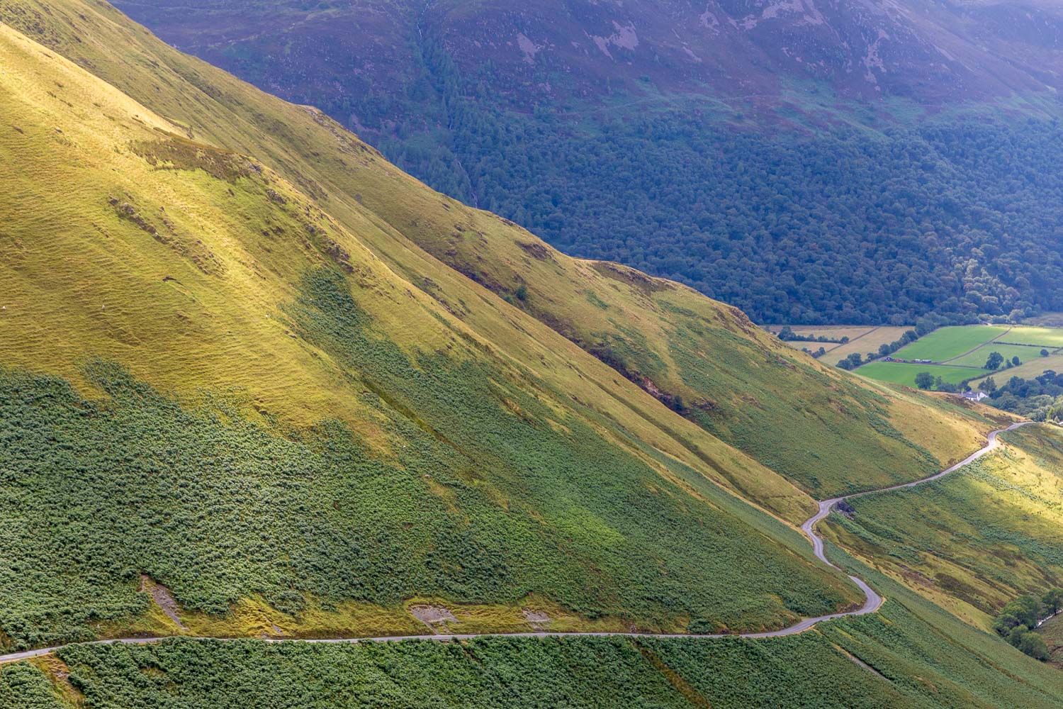
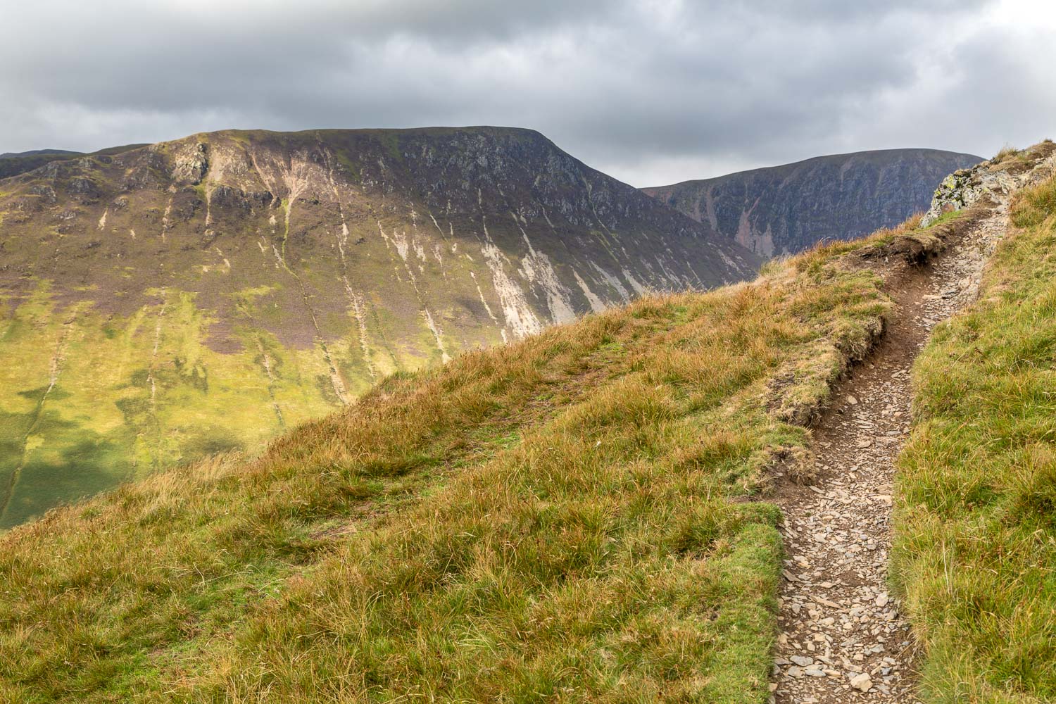
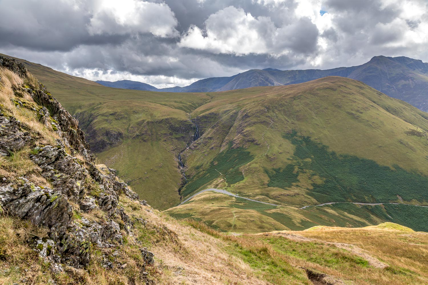
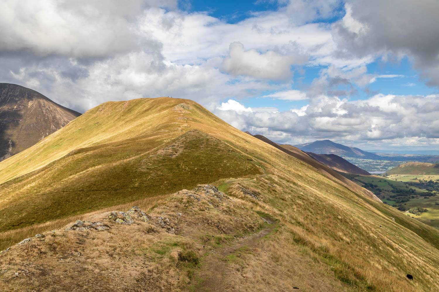
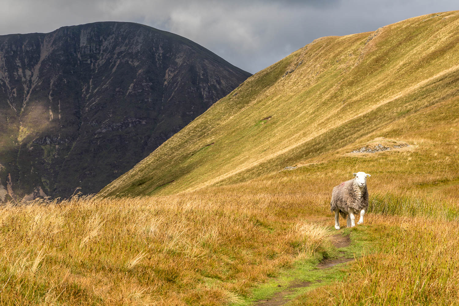
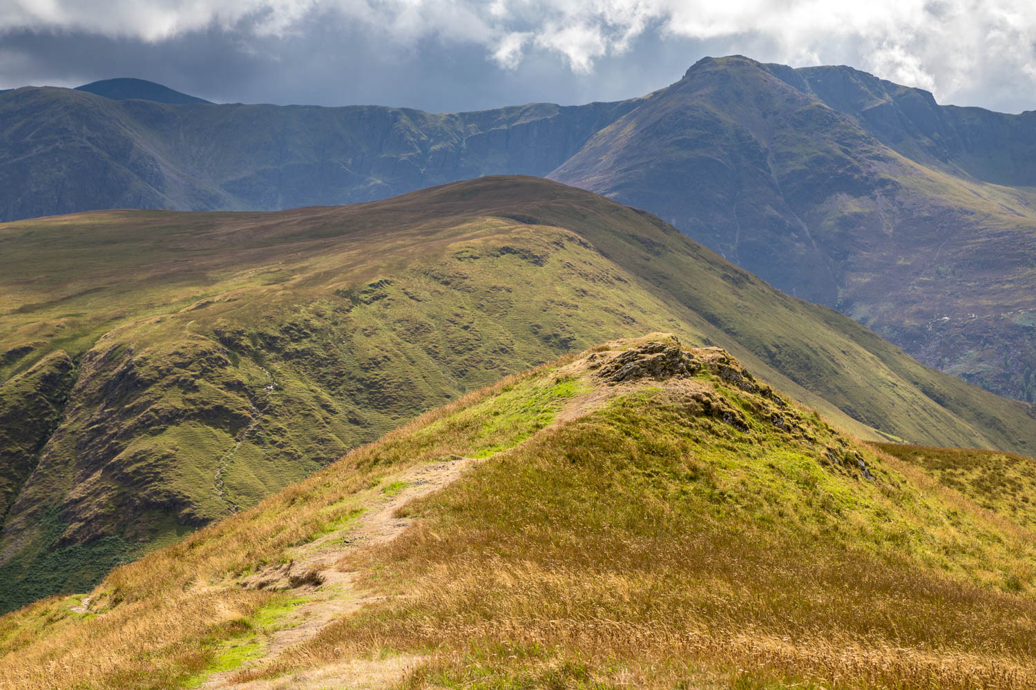
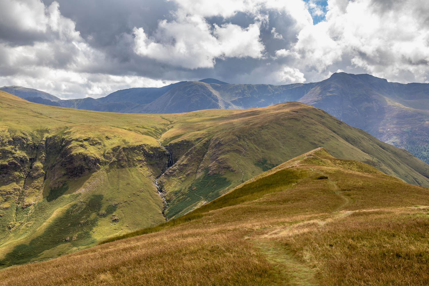
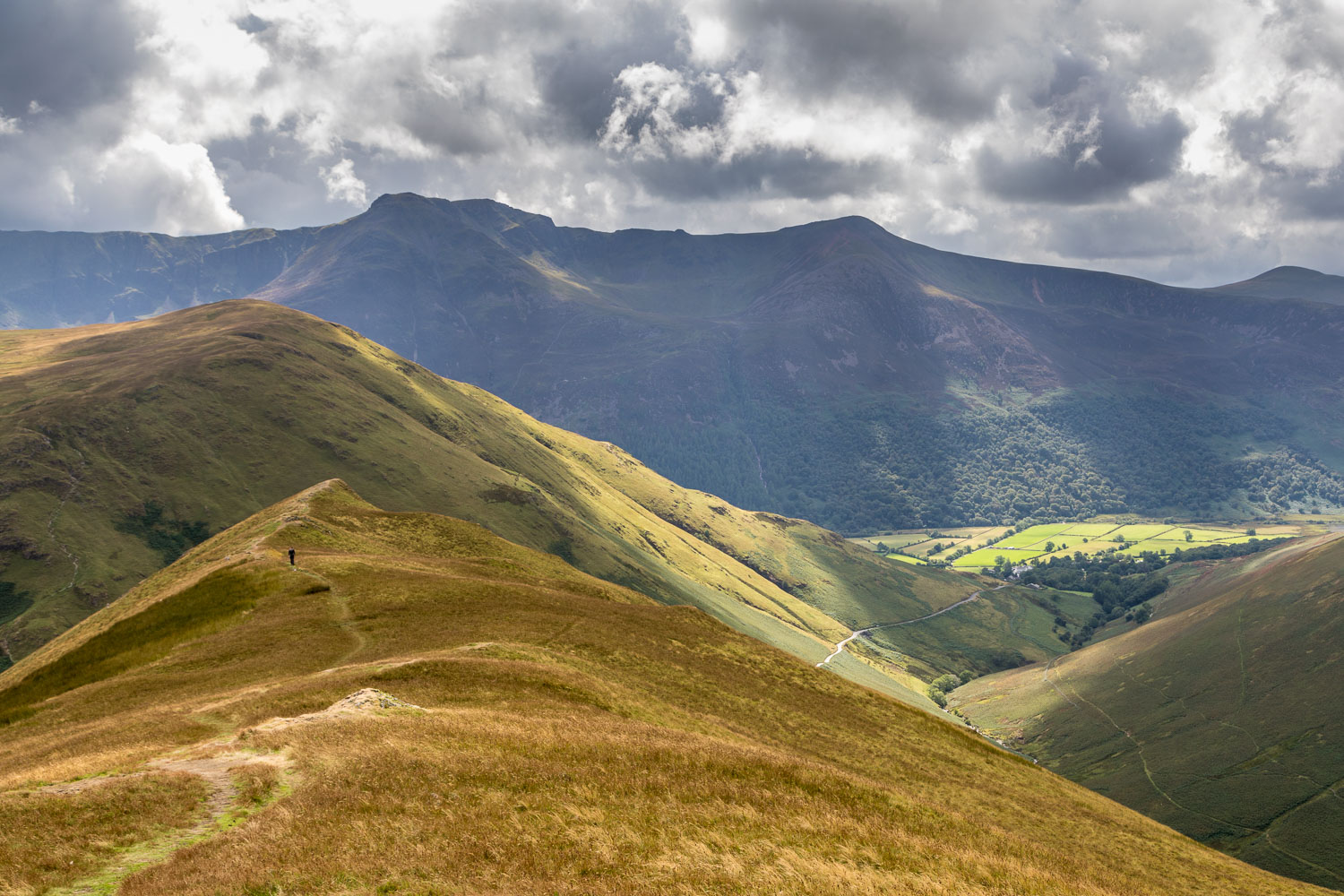
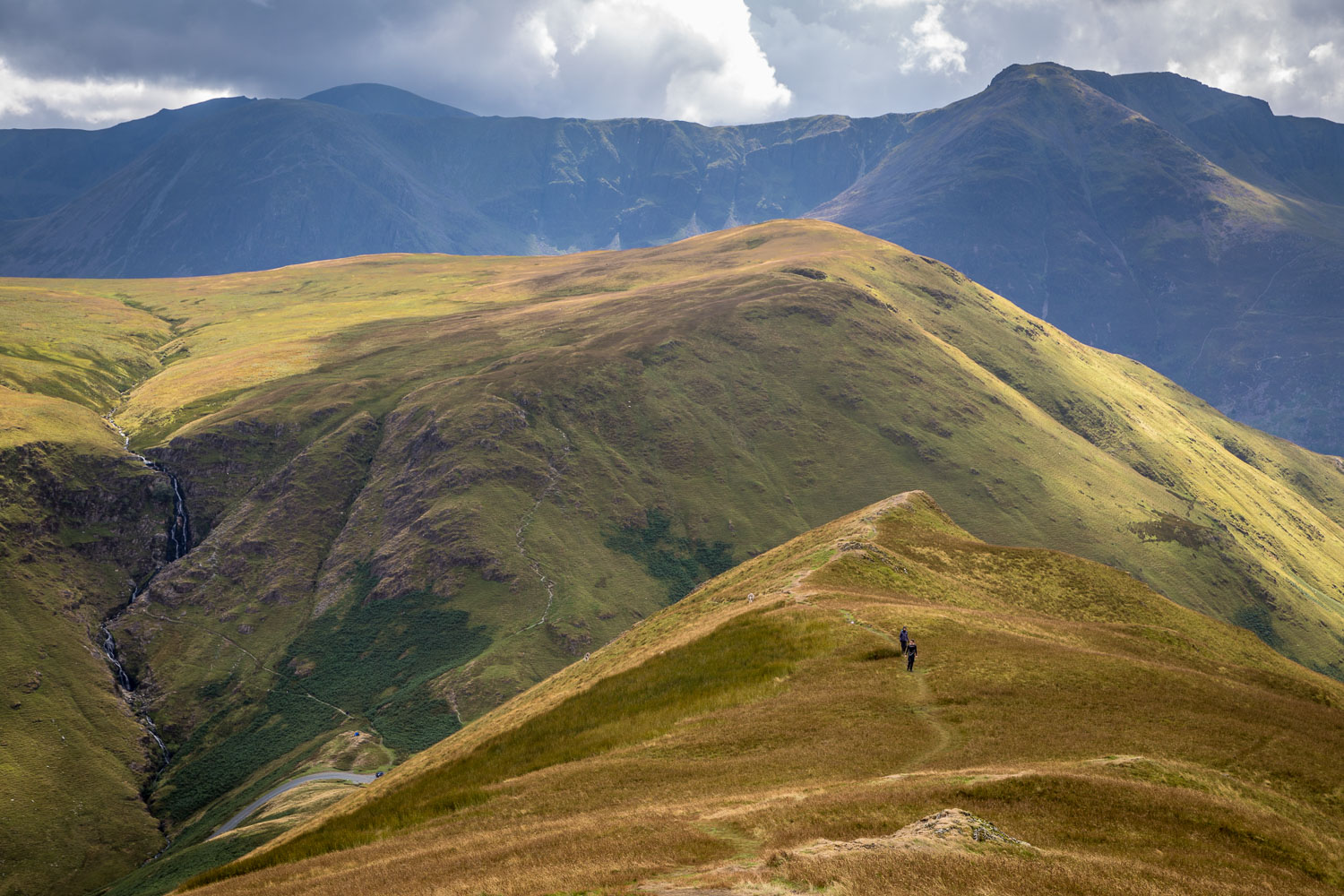
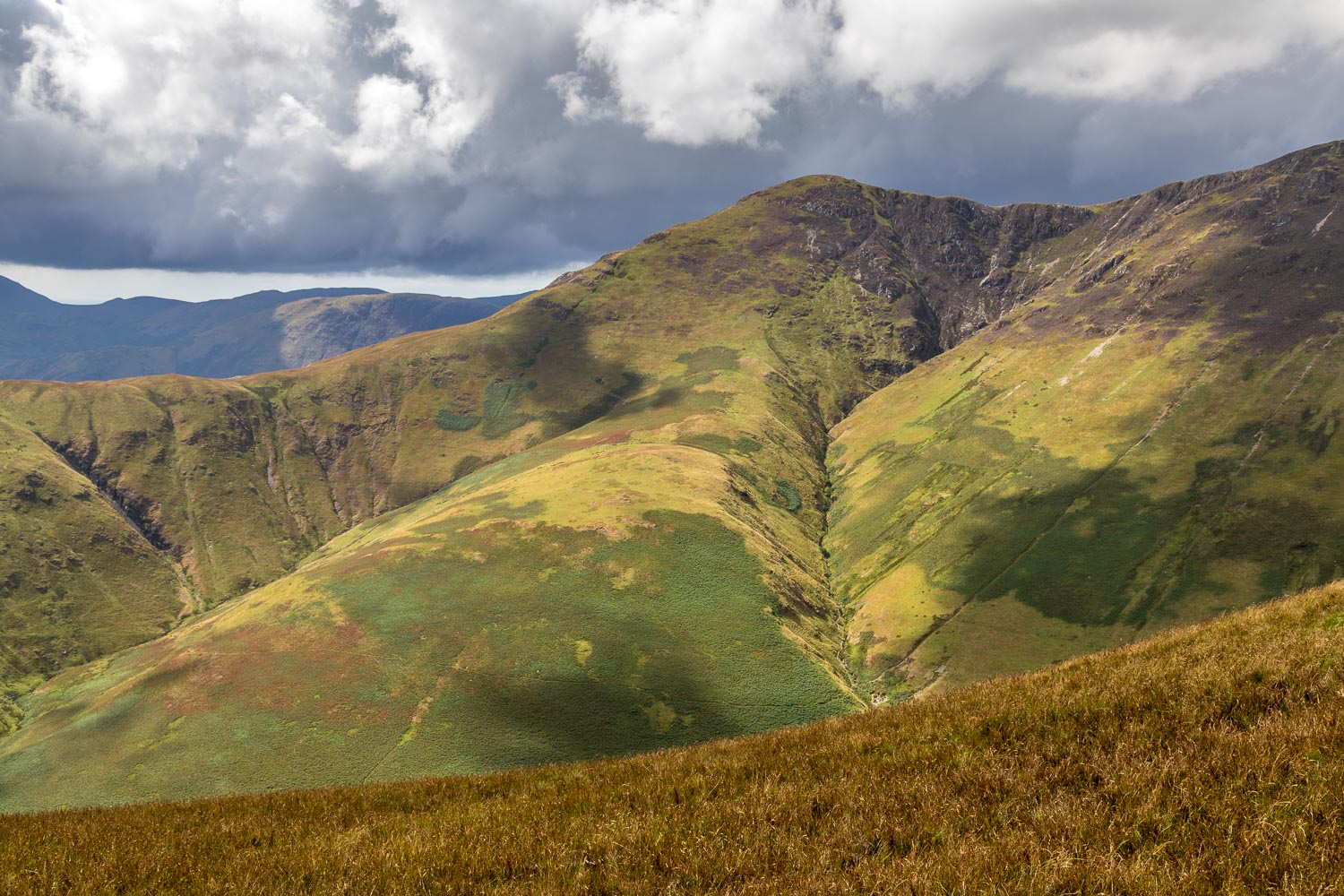
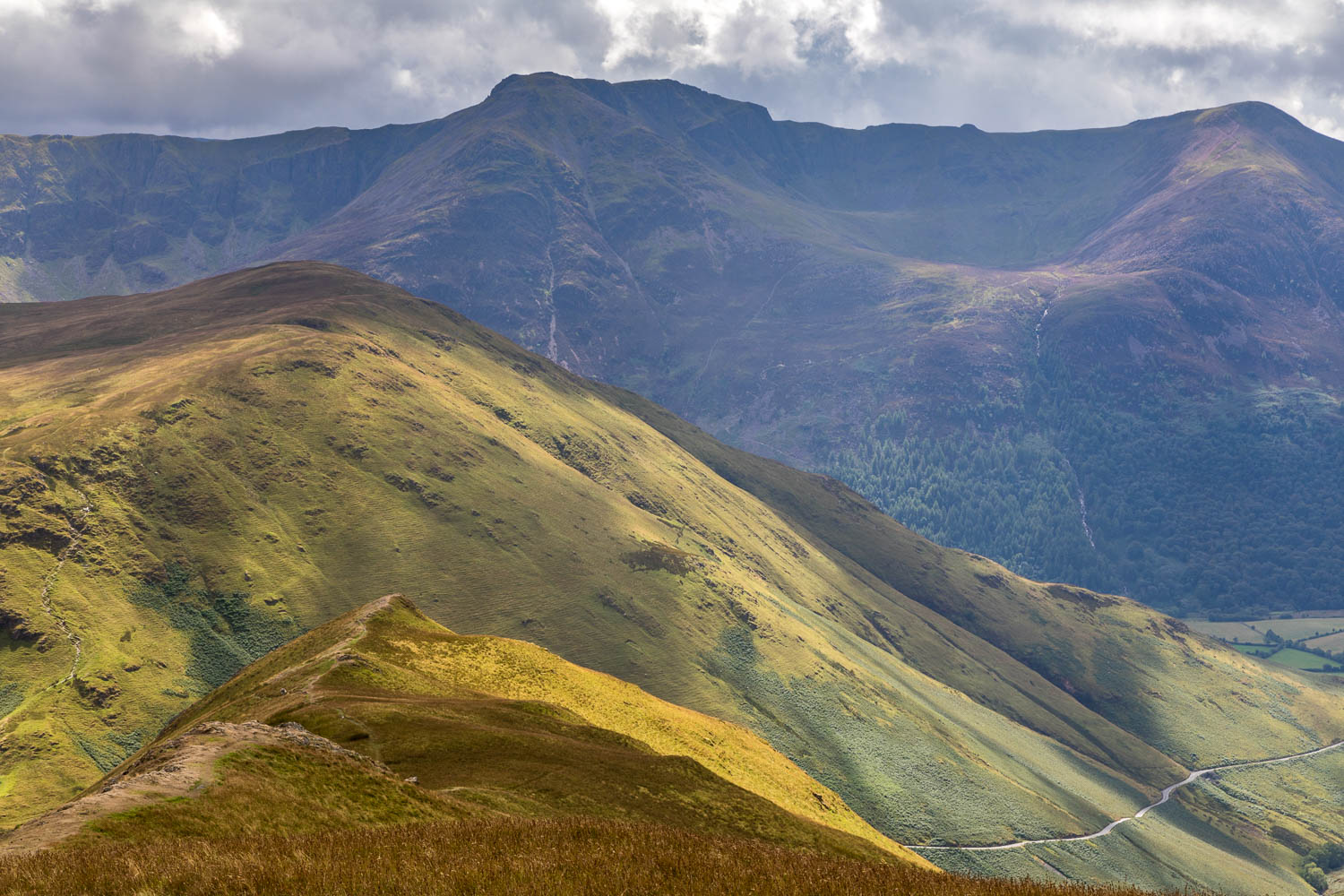
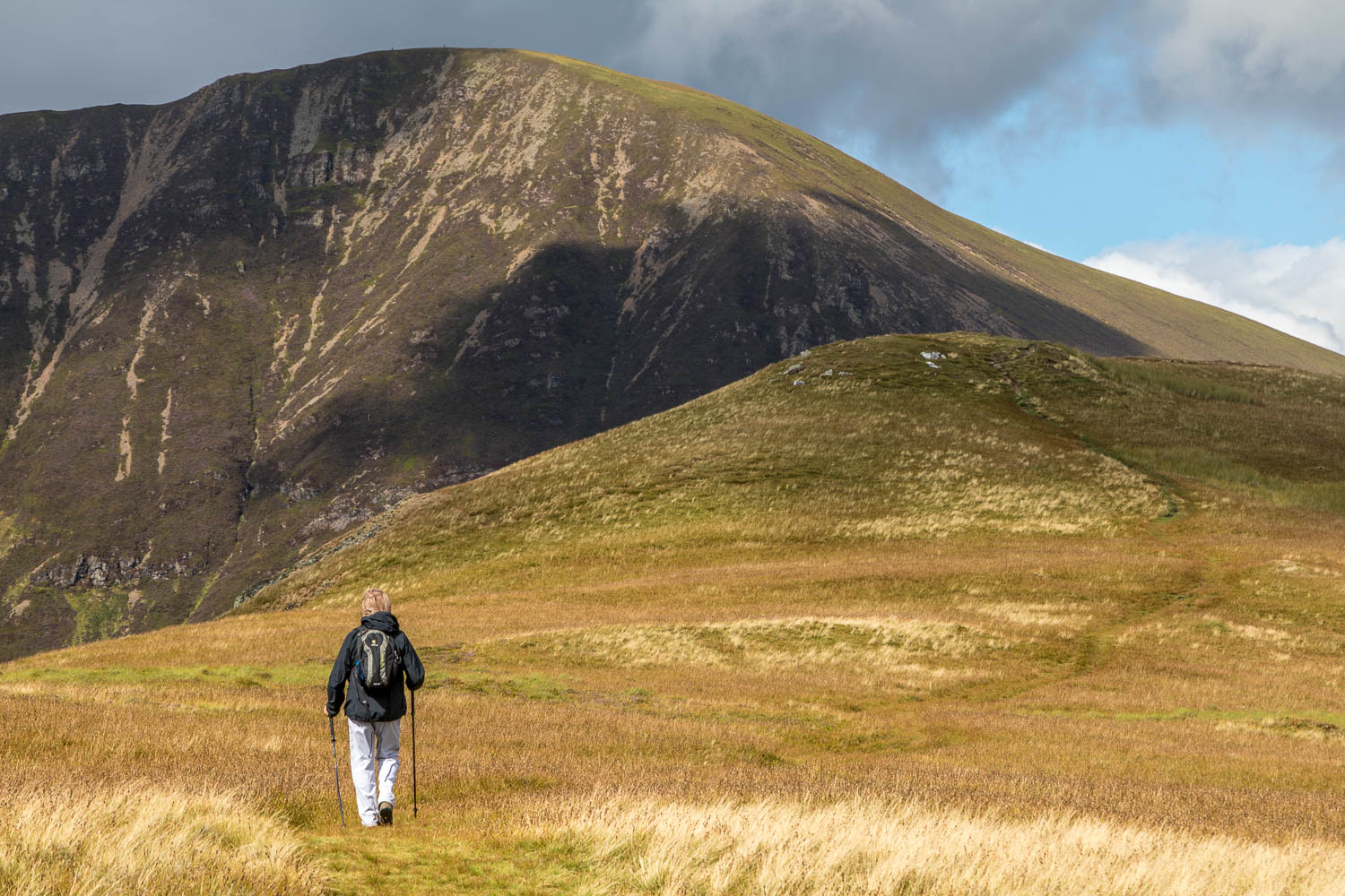
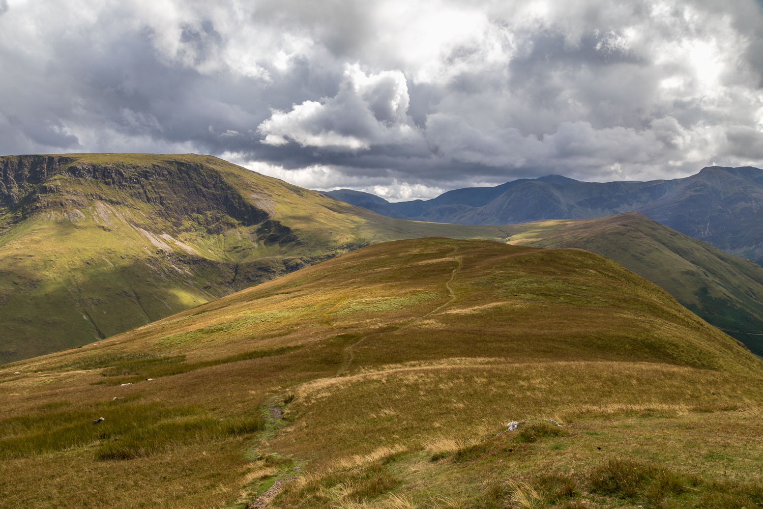
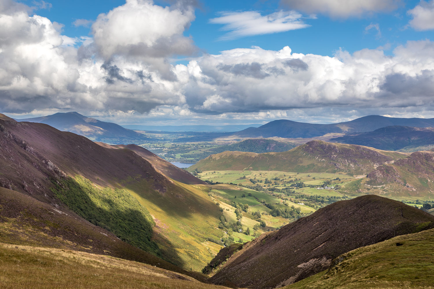
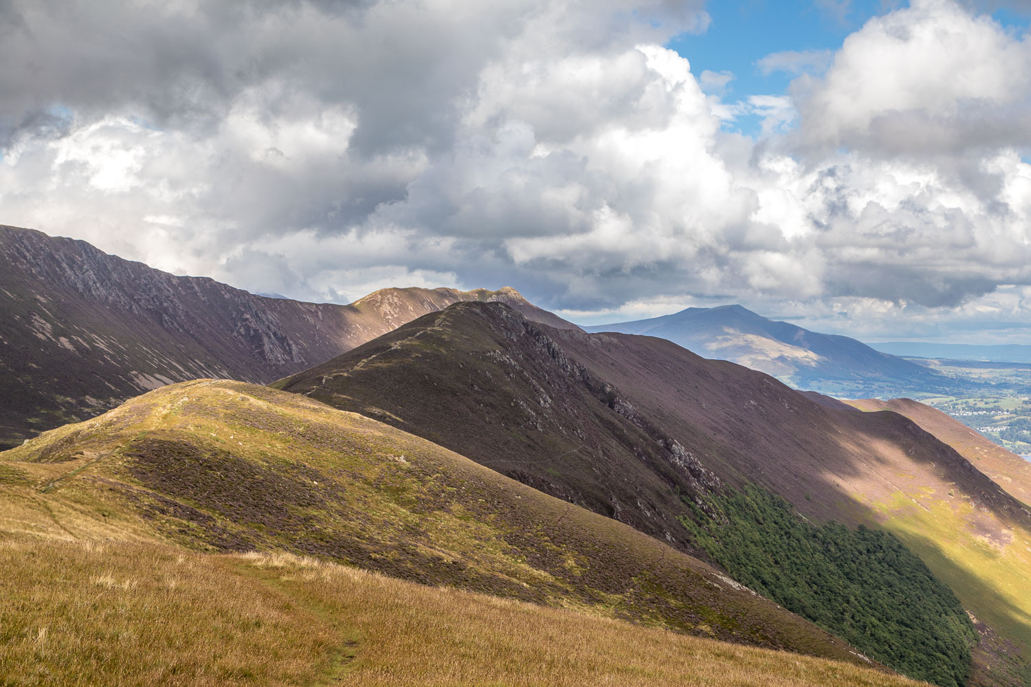
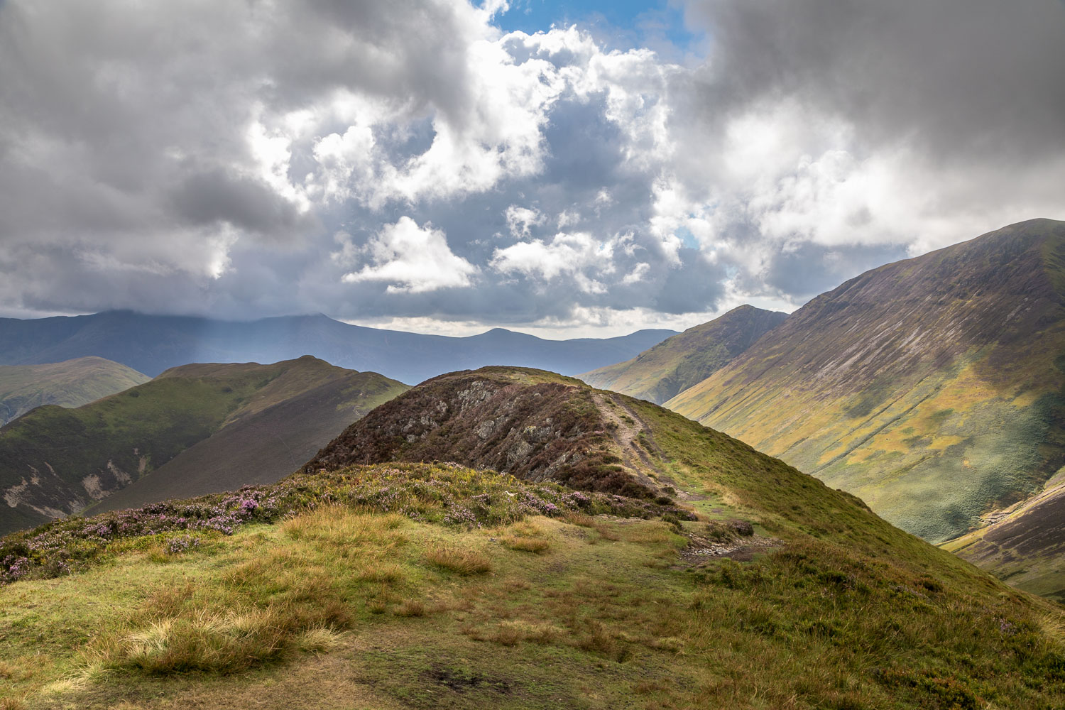
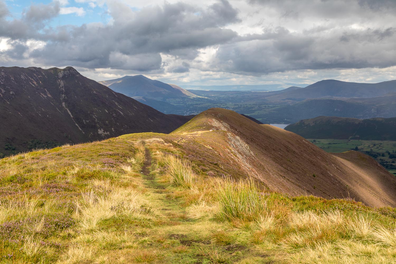
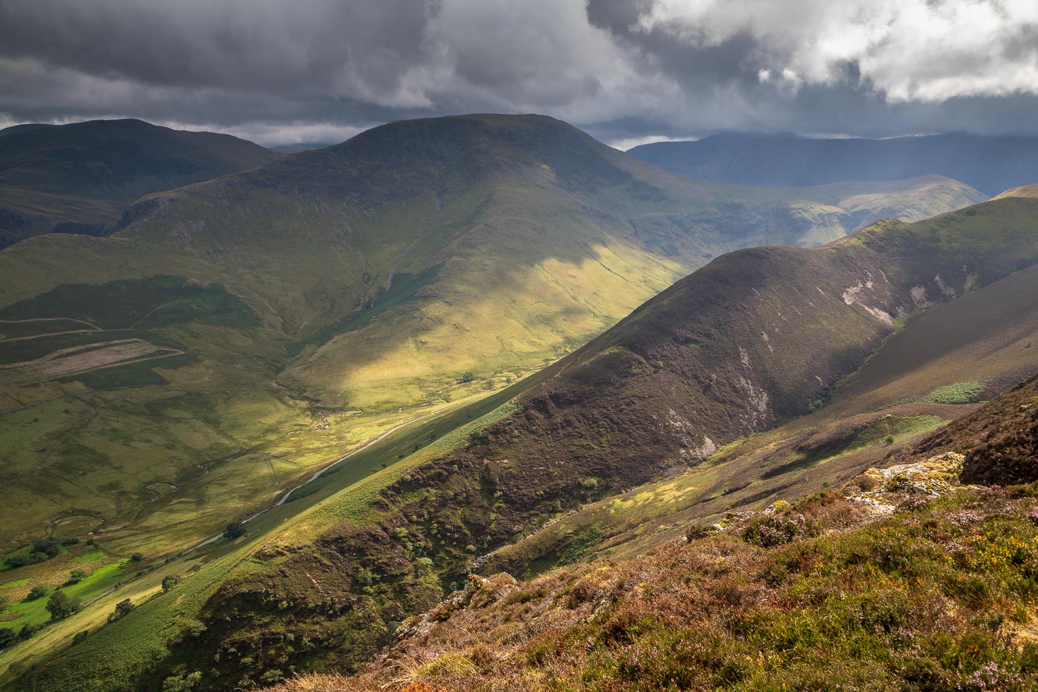
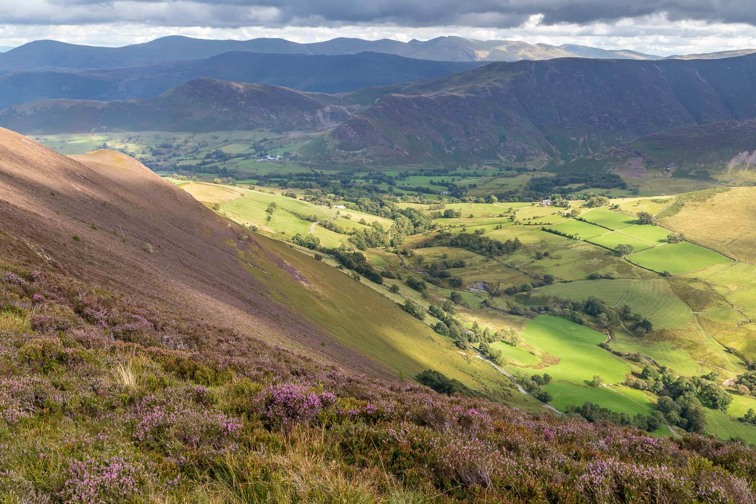
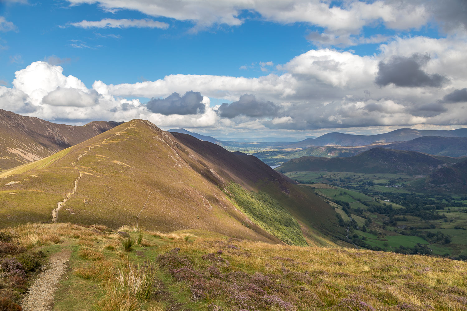
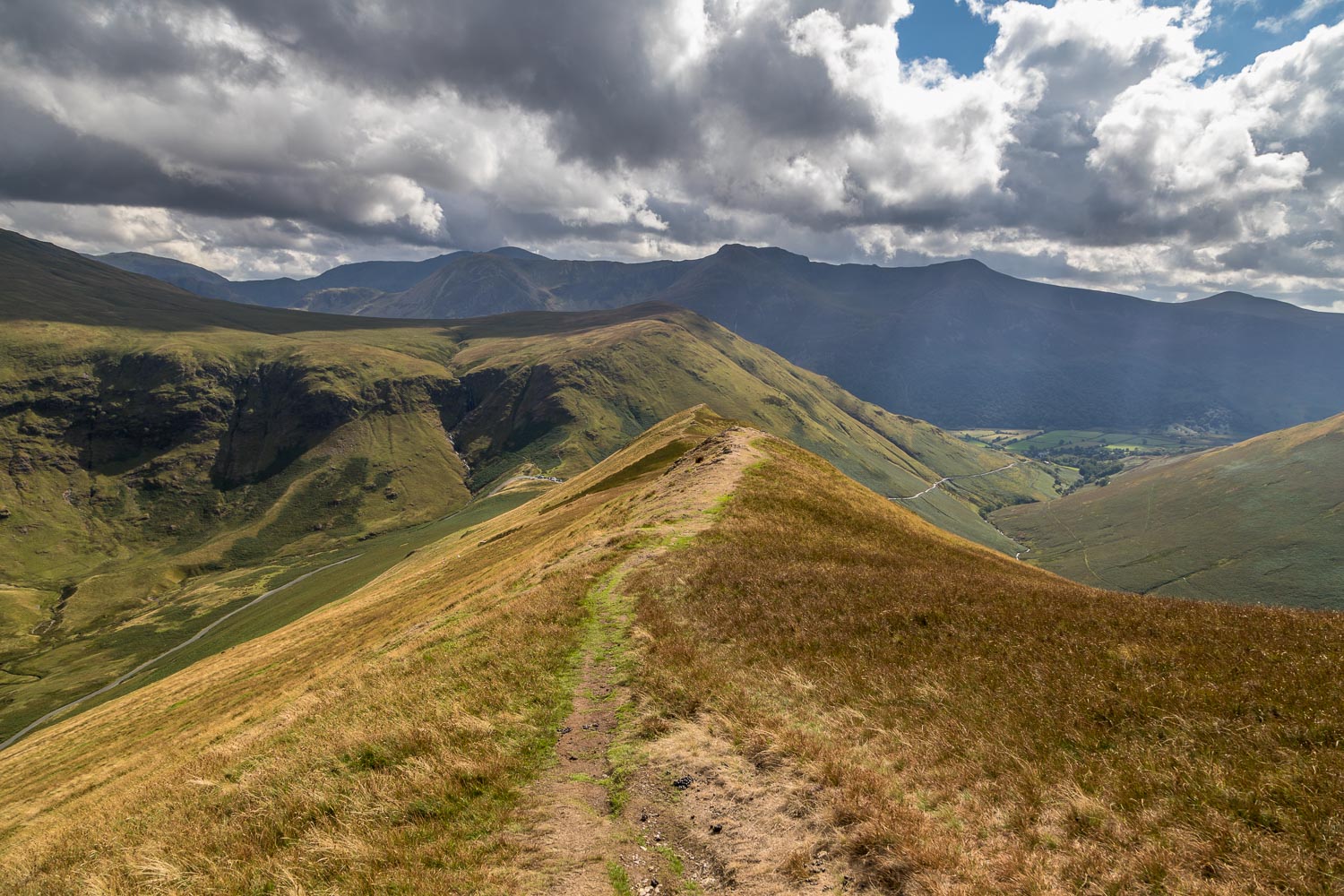
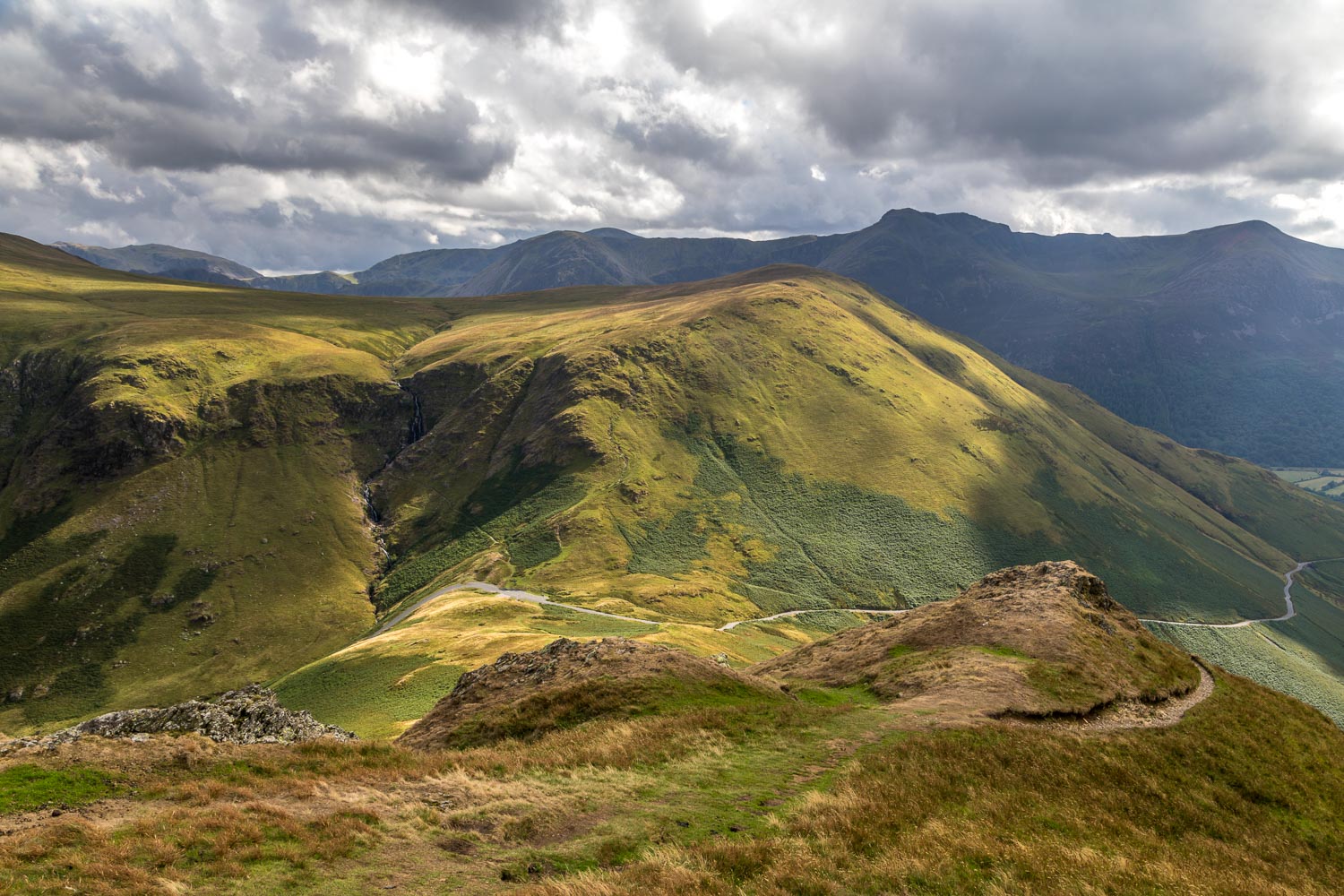
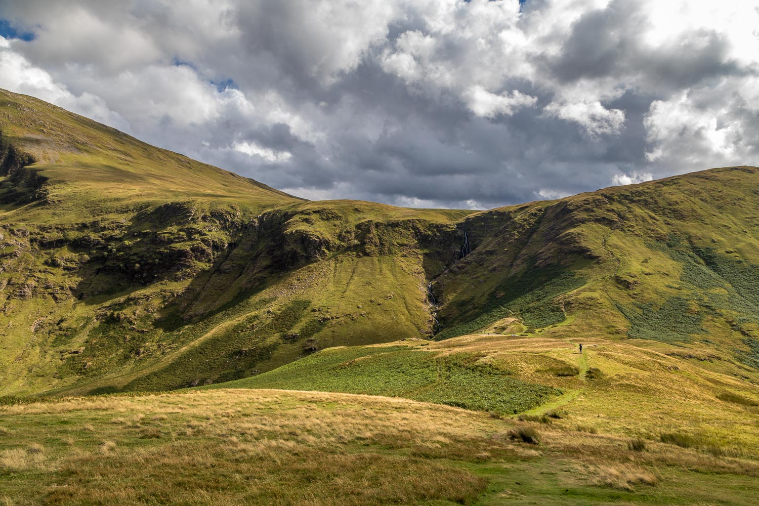
We parked at Newlands Hause which gave us a substantial leg up, saving around 1,000 feet of huff and puff. The climb up to Knott Rigg starts immediately and is initially up grassy slopes, becoming a little rockier higher up but with no difficulties at all. As Wainwright says, ‘it affords a pleasant exercise, very suitable for persons up to 7 years of age or over 70’. We soon gained the ridge and continued to ascend until we reached the summit of Knott Rigg, which is a grassy mound. The view from here is good, but not extensive. Having come this far, it seemed a shame not to pay our respects to Ard Crags which lies one mile further along the ridge, involving a straightforward down and up. The weather closed in at this point, the light disappeared, and we debated whether to continue or to retrace our steps. Gilly returned to the car, but I carried on and was glad to have done so, since the dark skies blew over and I was rewarded with some lovely views over Newlands Valley looking towards Derwent Water
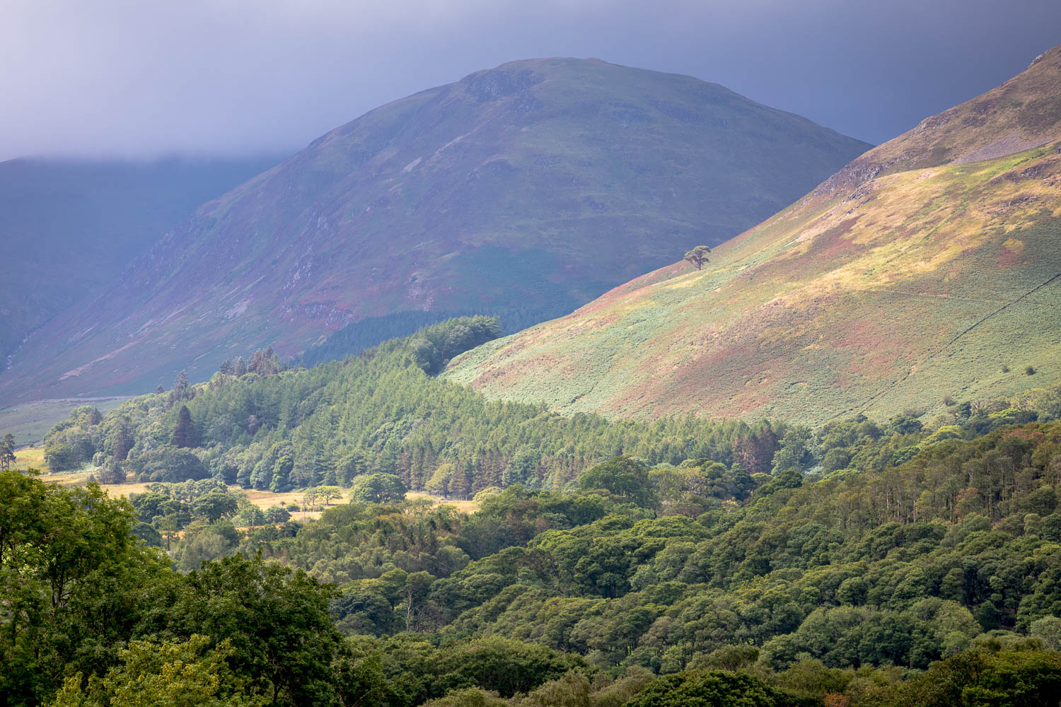
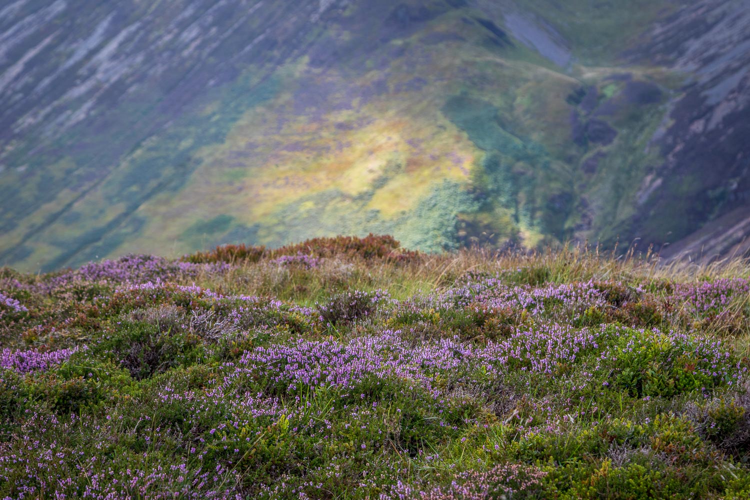
Having reached the summit of Ard Crags, I decided to retrace my steps. There is an alternative return route back to the start above Sail Beck (click here to see it), but there was no time for that today. There was some dramatic light on the way back and it was a pleasure not a chore to follow the same path back to the start of a superb short fell walk
For other walks here, visit my Find Walks page and enter the name in the ‘Search site’ box
Click on the icon below for the route map (subscribers to OS Maps can view detailed maps of the route, visualise it in aerial 3D, and download the GPX file. Non-subscribers will see a base map)
Scroll down – or click on any photo to enlarge it and you can then view as a slideshow
