Route: Capel Curig
Area: Snowdonia, North Wales
Date of walk: 22nd September 2021
Walkers: Andrew and Gilly
Distance: 4.0 miles
Ascent: 500 feet
Weather: Mostly cloudy, a few sunny patches
On the final day of our short walking holiday in North Wales, we drove over to the village of Capel Curig in North Snowdonia, lured here by the description in a walking guide of a ‘classic view’ from ‘one of the most famous lakeside viewpoints in Britain’. More of which later
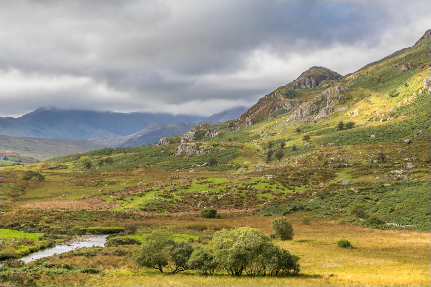
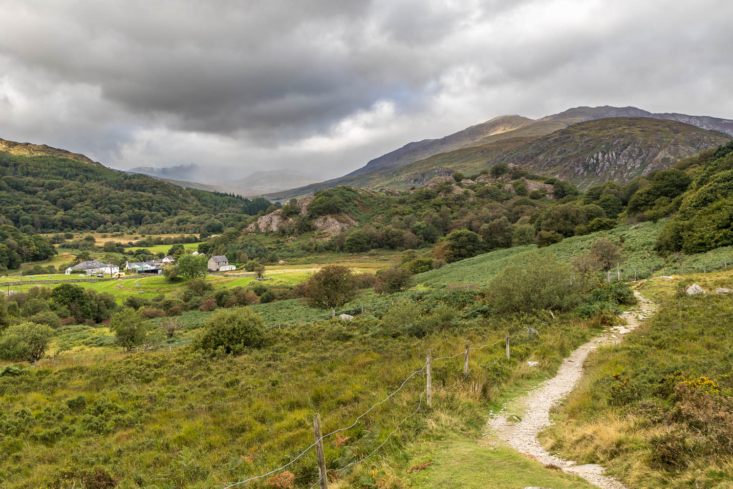
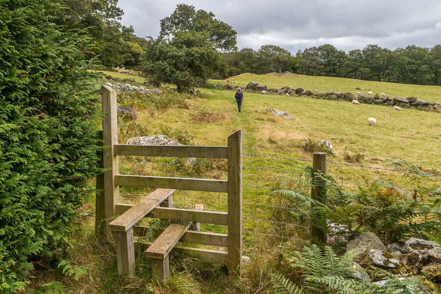
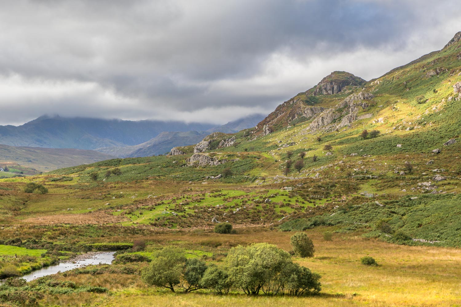
We parked in a free car park behind some shops and near a bridge over Afon Llugwy. After crossing the road we joined a grassy path beside a war memorial and climbed gently uphill. Looking back, there was a good view back over the village and towards the Snowdon Horseshoe, although the mountain tops were below the clouds
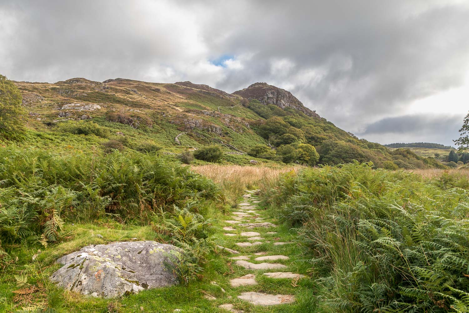
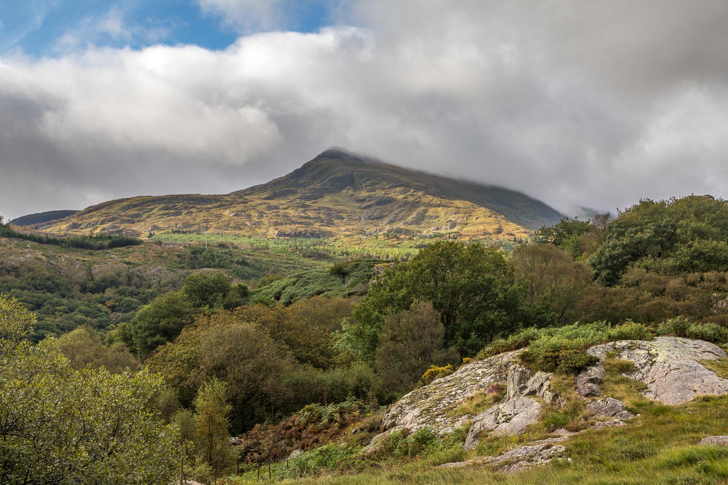
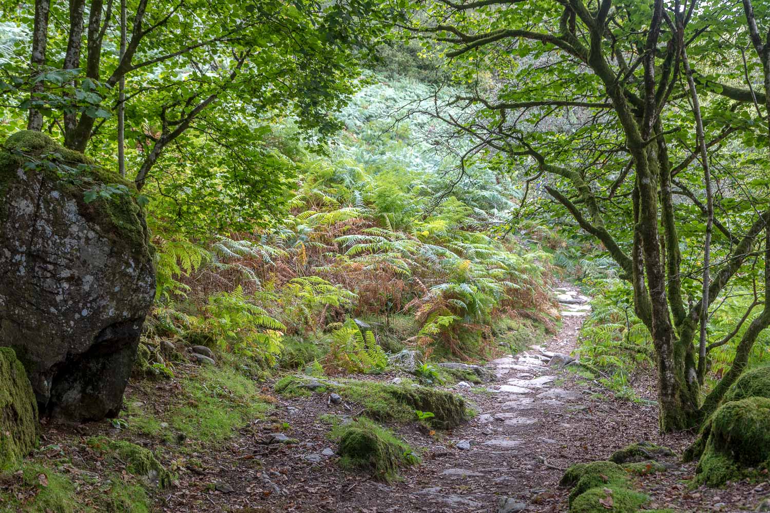
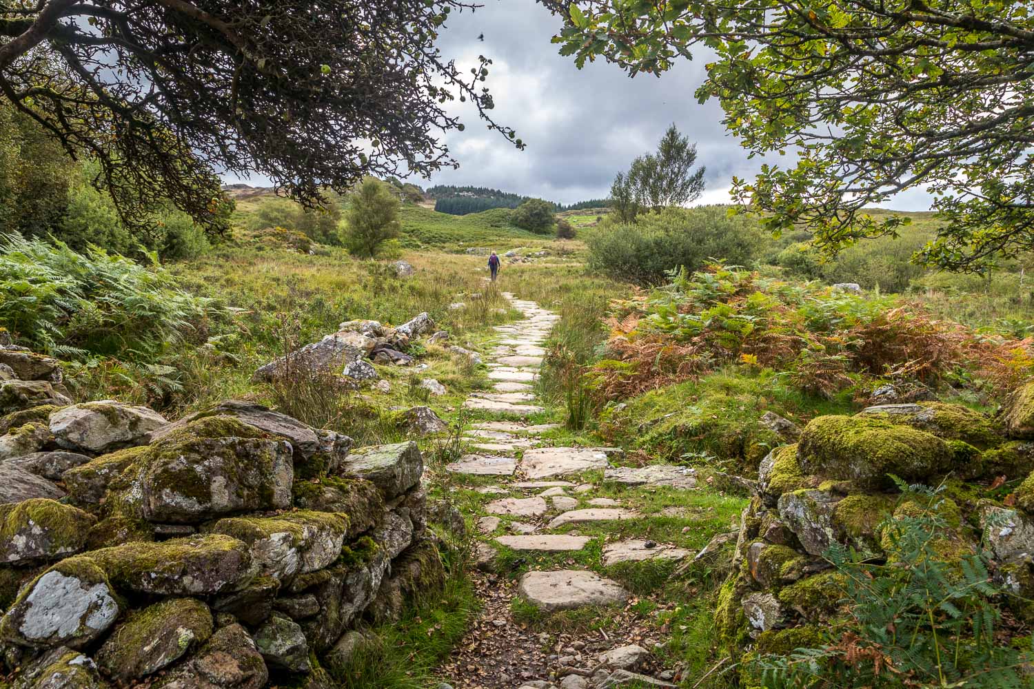
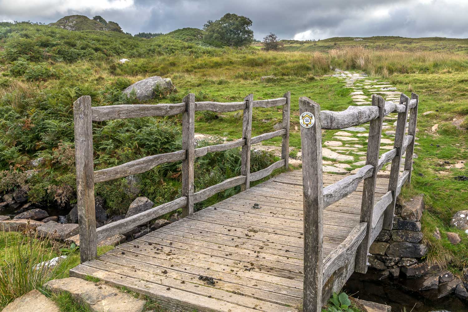
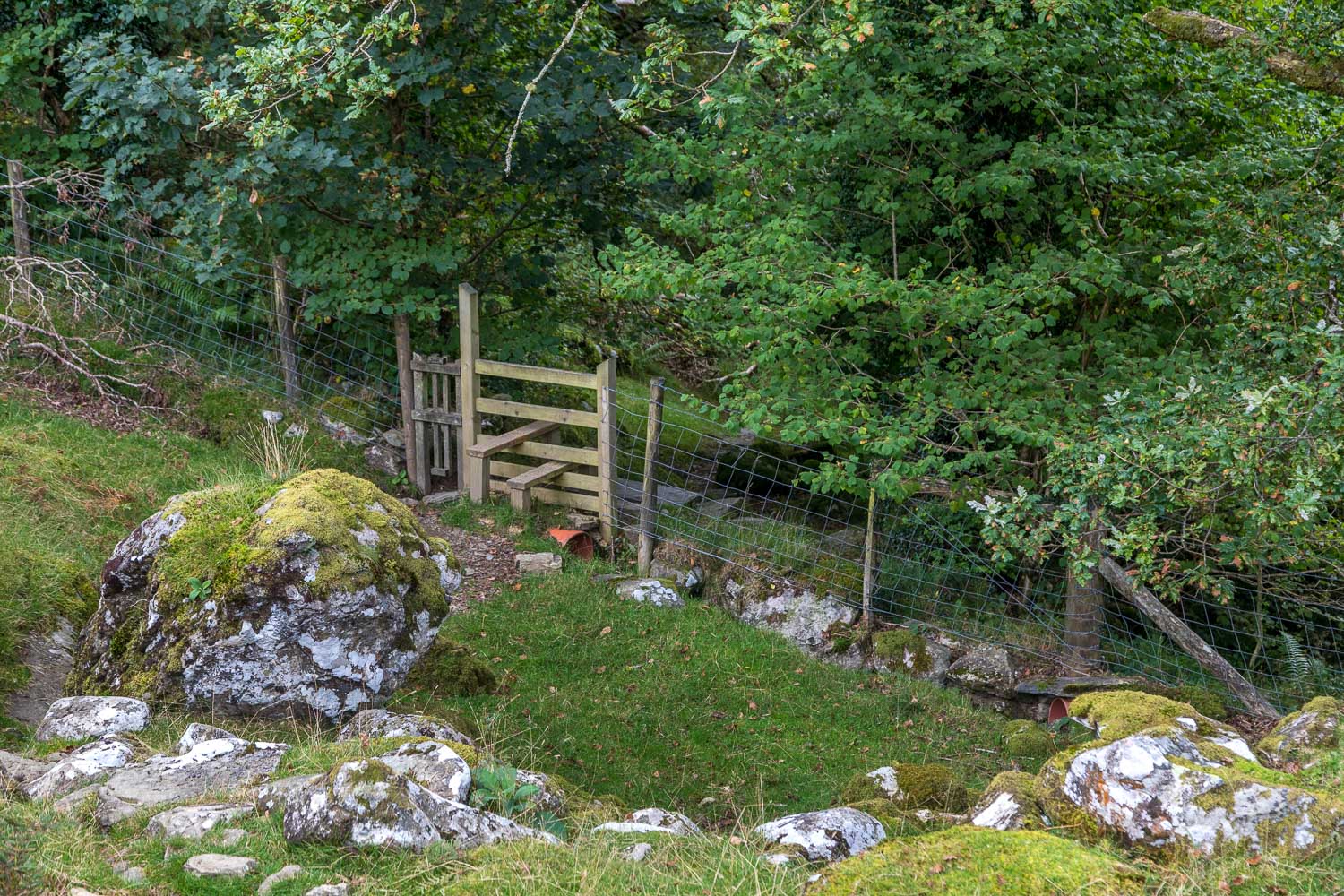
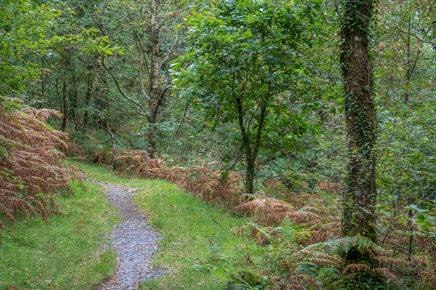
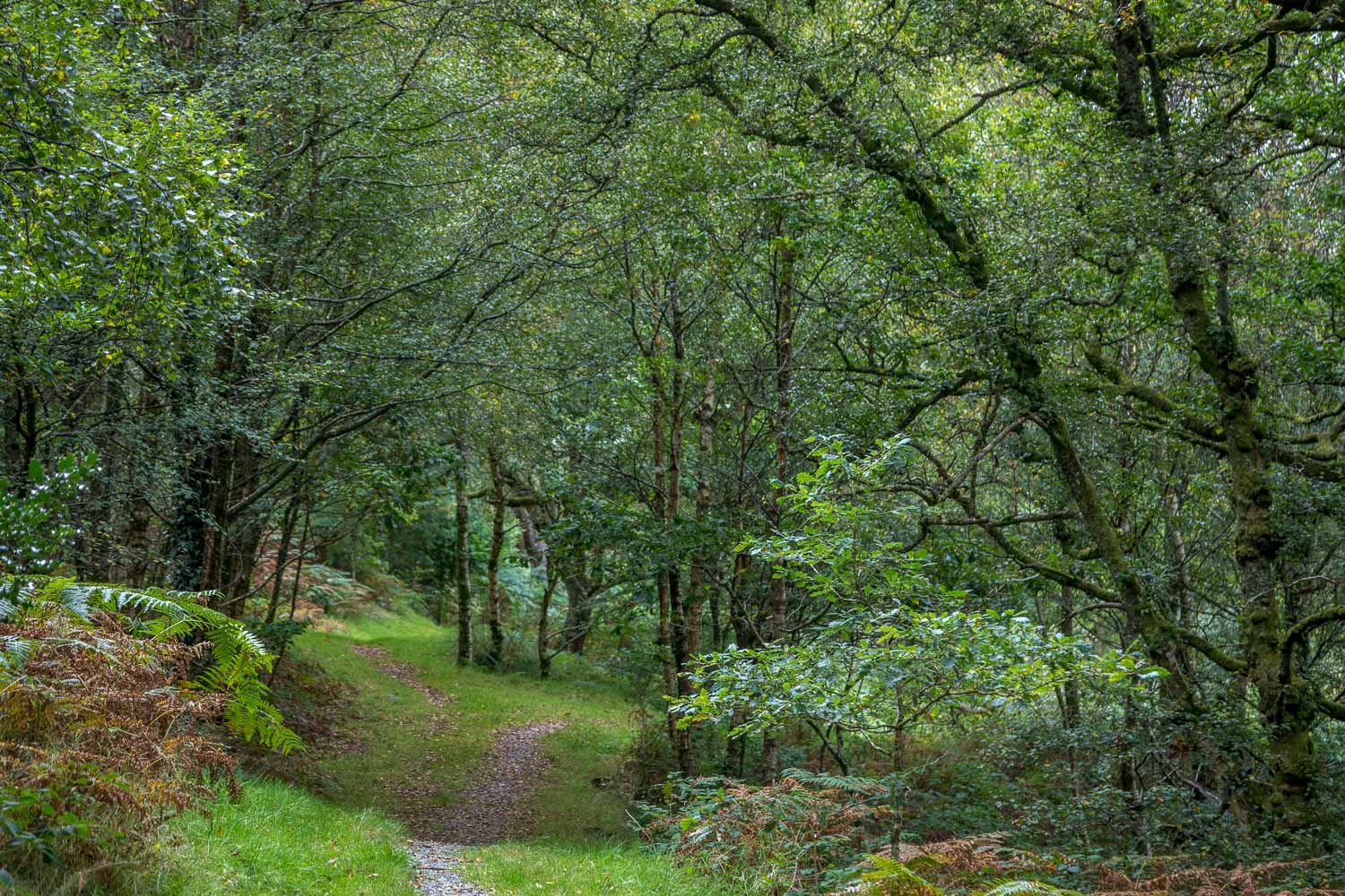
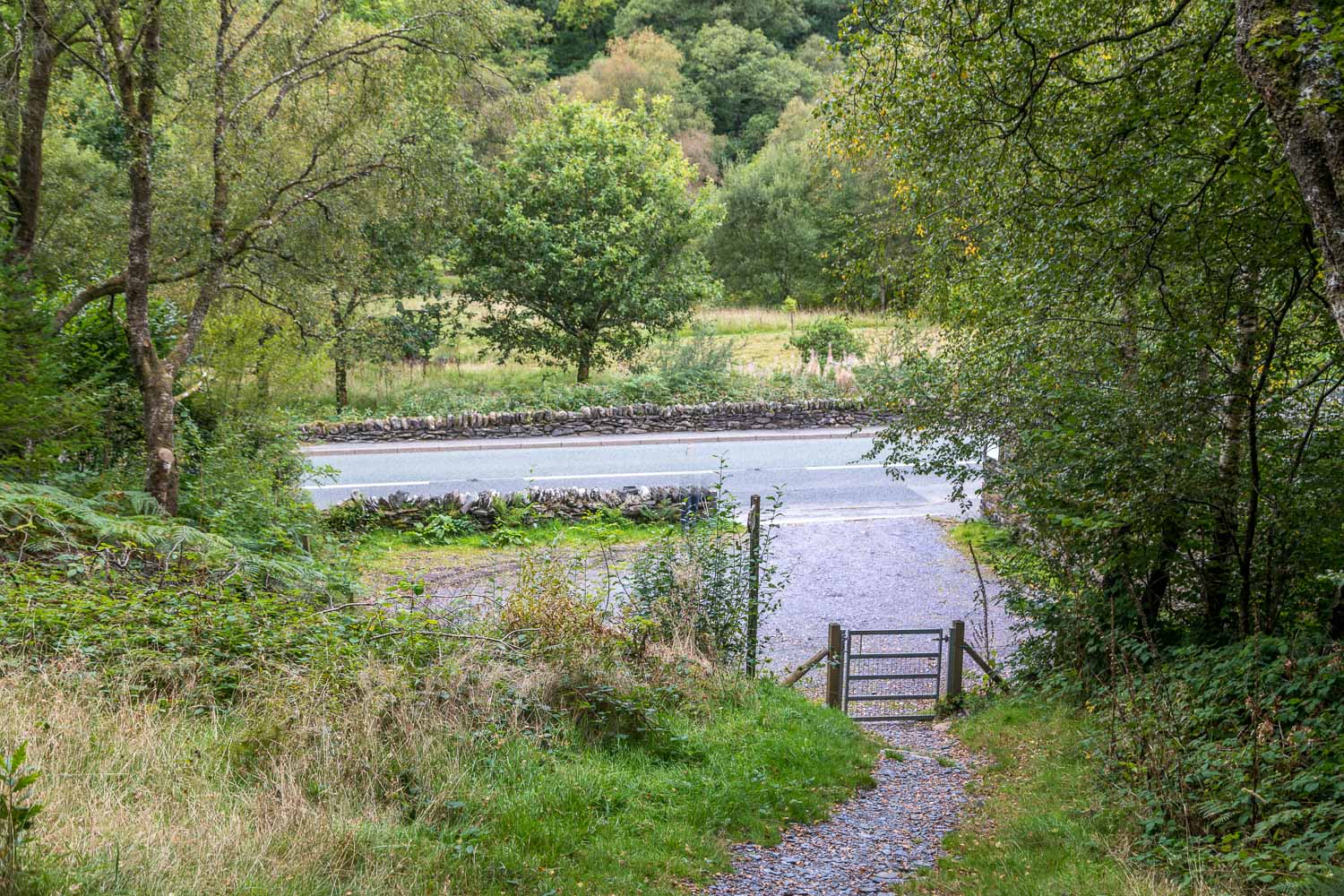
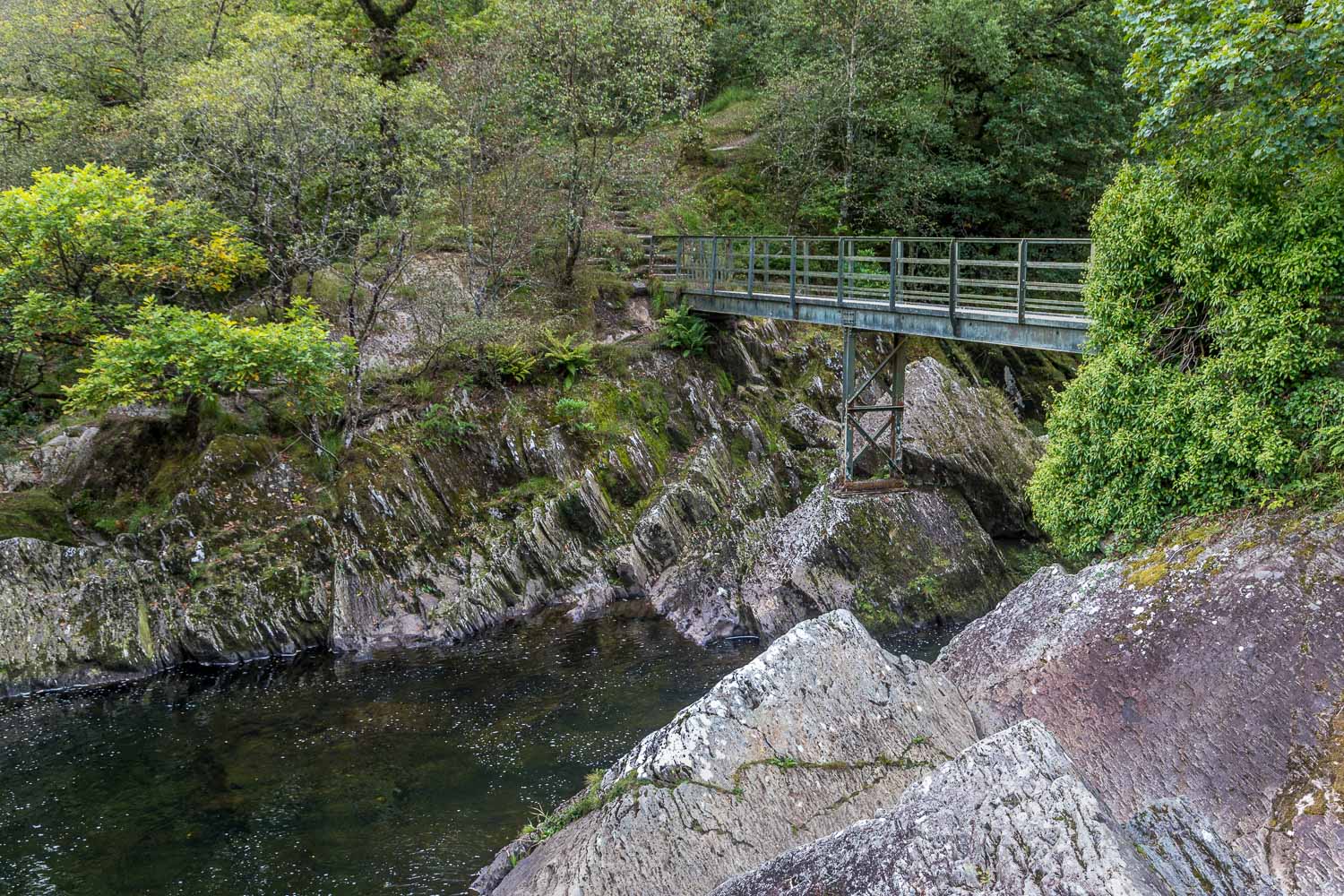
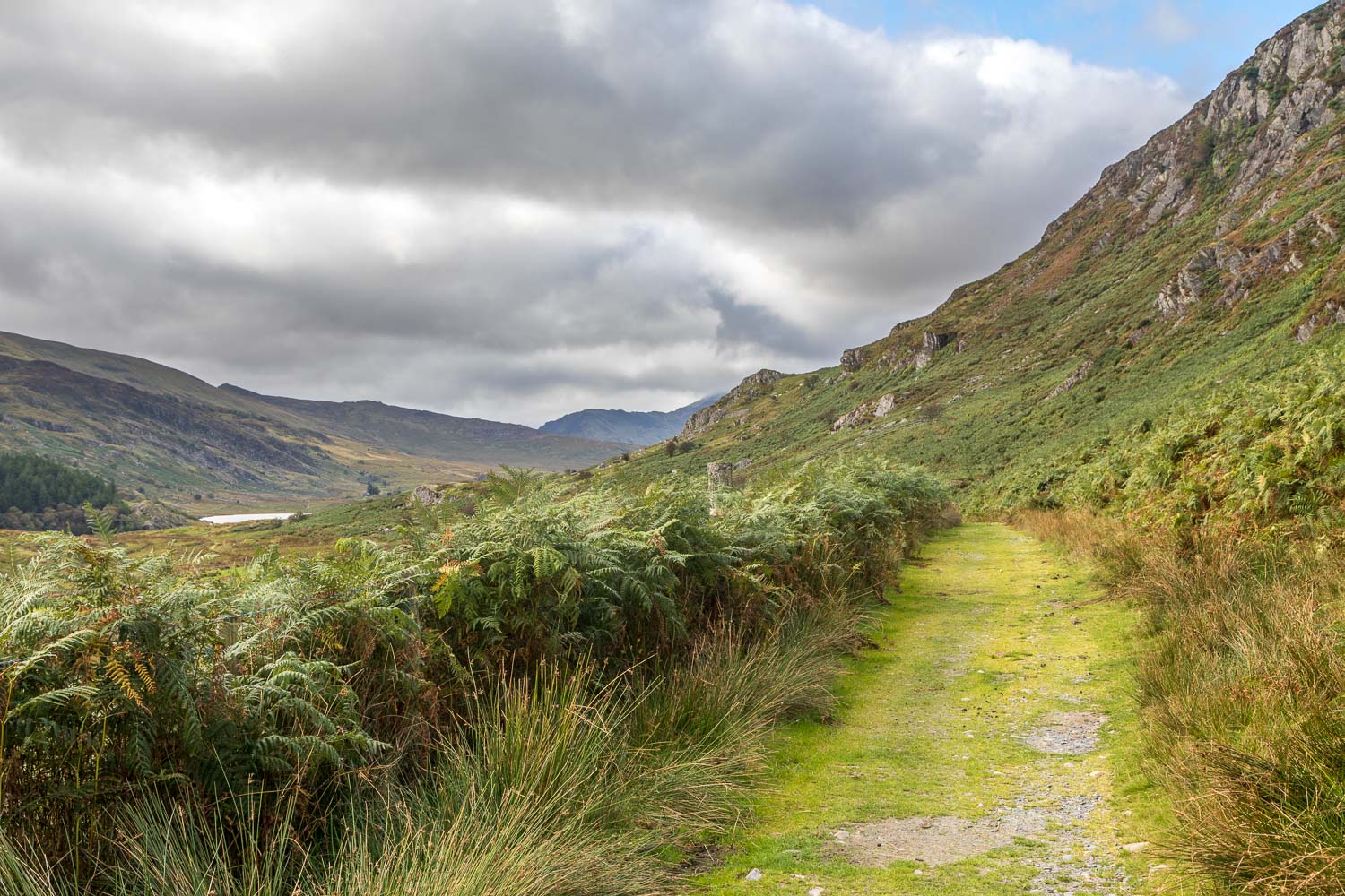
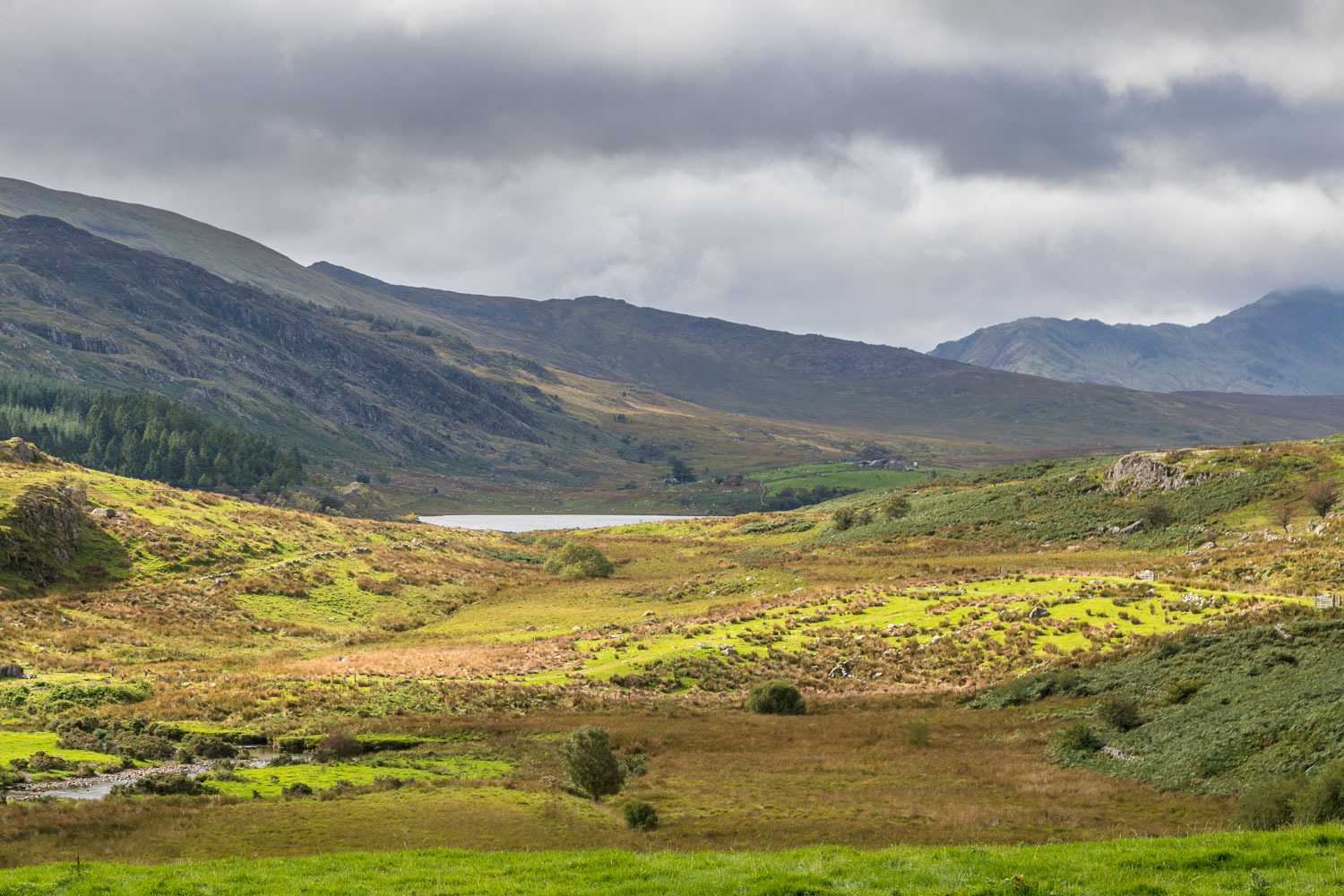
We followed a path across a bracken covered hillside below Clogwyn Mawr, and then turned sharp right to cross two stone bridges (easily missed). There then followed a gradual descent, mostly through woodland, until we arrived at the A5 road. We followed the roadside path for a short distance and then crossed Afon Llugwy via an iron footbridge. From here, tracks through the woodland brought us to the head of Llynnau Mymbyr, from where the ‘classic view’ of the Snowdon Horseshoe may be seen. It was a fine view, but the low clouds obscured the mountain tops and so we felt a little underwhelmed today
Improving light on the final section of the walk raised our spirits and there were some fine views as we made our way back to Capel Curig to end an enjoyable walk. The walk was a short one, and this left time for another walk in the afternoon, one which turned out to be a fitting climax to the end of our stay in North Wales – click here for more
Click on the icon below for the route map (subscribers to OS Maps can view detailed maps of the route, visualise it in aerial 3D, and download the GPX file. Non-subscribers will see a base map)
Scroll down – or click on any photo to enlarge it and you can then view as a slideshow
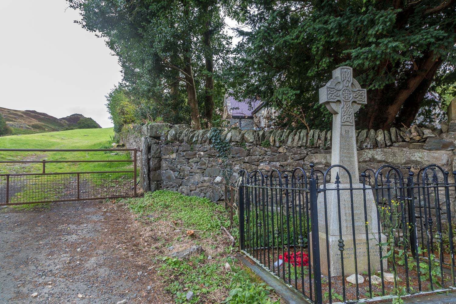
We parked in Capel Curig and after crossing the road passed by this war memorial to enter into the field
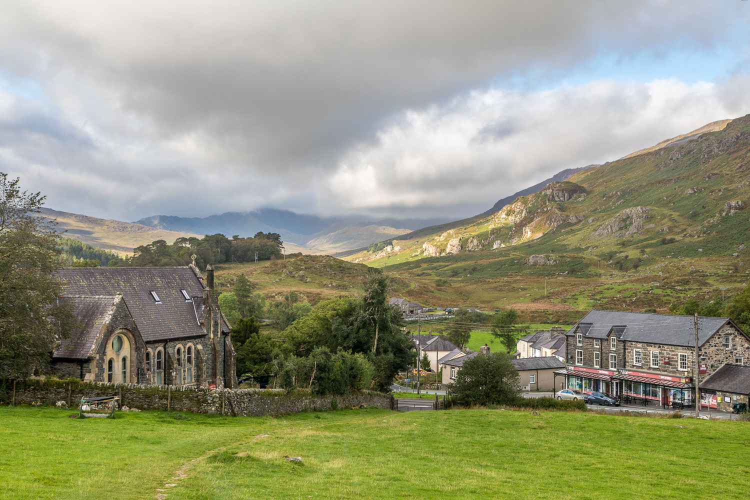
Looking back to Capel Curig. We'd hoped for a view of the Snowdon horseshoe, but its head was in the clouds and stayed there throughout the walk
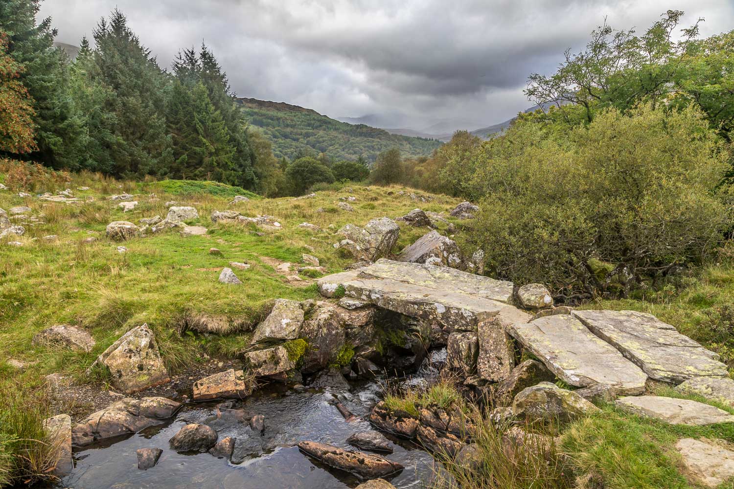
We cross this stone bridge - according to a sign this is apparently someone's private garden, though a public footpath runs through it
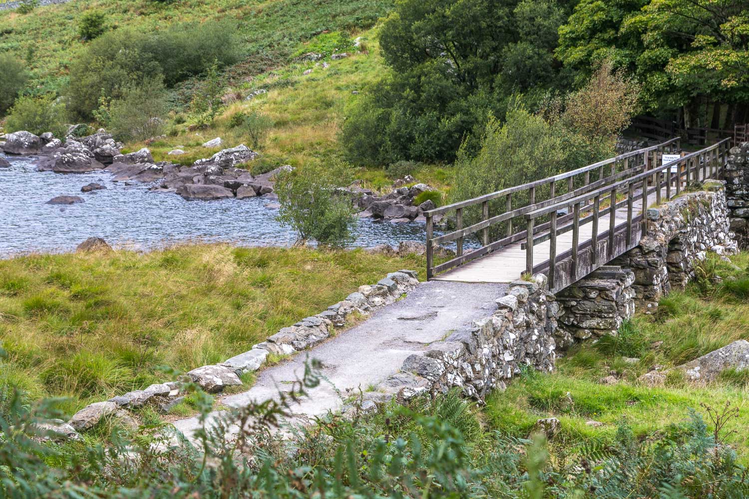
Keenly anticipating the 'classic' view from the bridge, we cross the Afon Llugwy at the point where it flows out of Llynnau Mymbyr
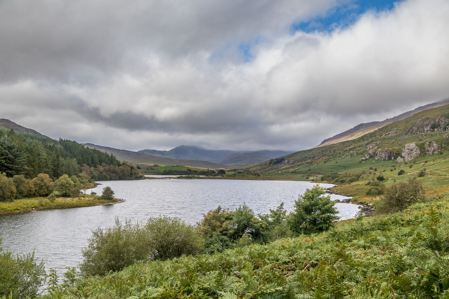
A pleasant view, one which is no doubt much better when the Snowdon horseshoe is not shrouded in cloud
