Route: Souther Fell
Area: Northern Lake District
Date of walk: 8th July 2013
Walkers: Andrew and Gilly
Distance: 5.5 miles
Ascent: 1,100 feet
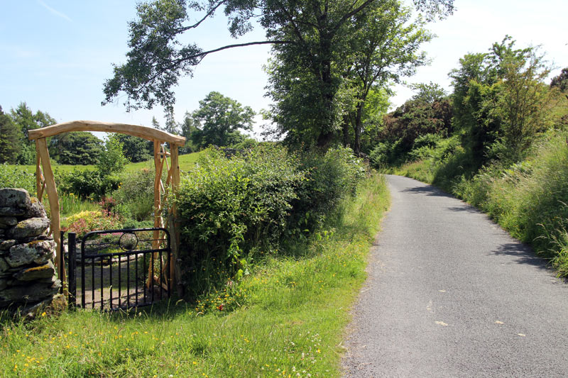
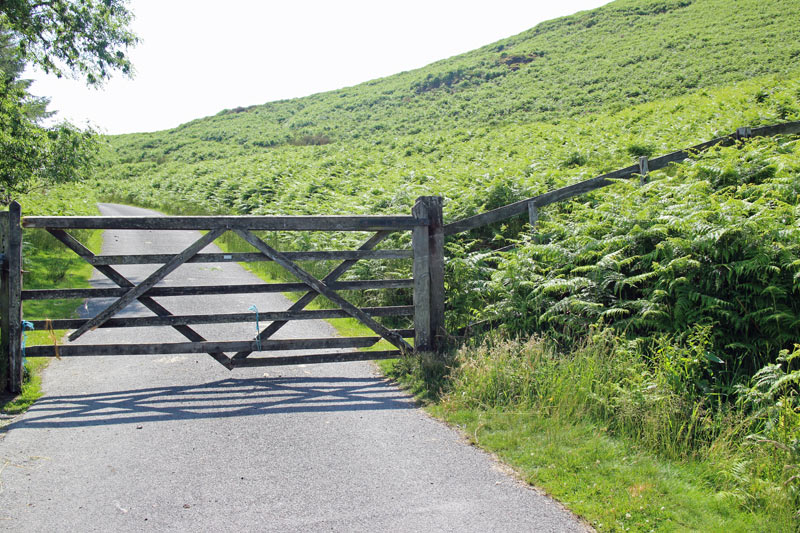
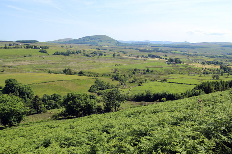
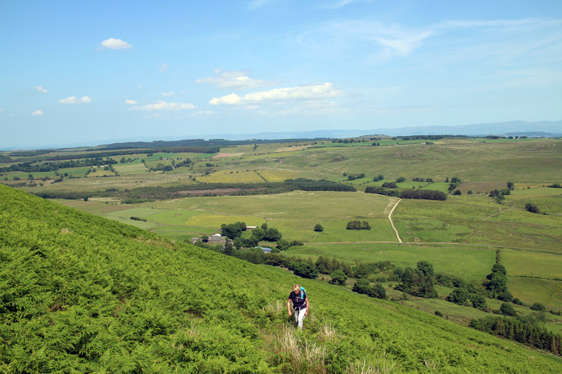
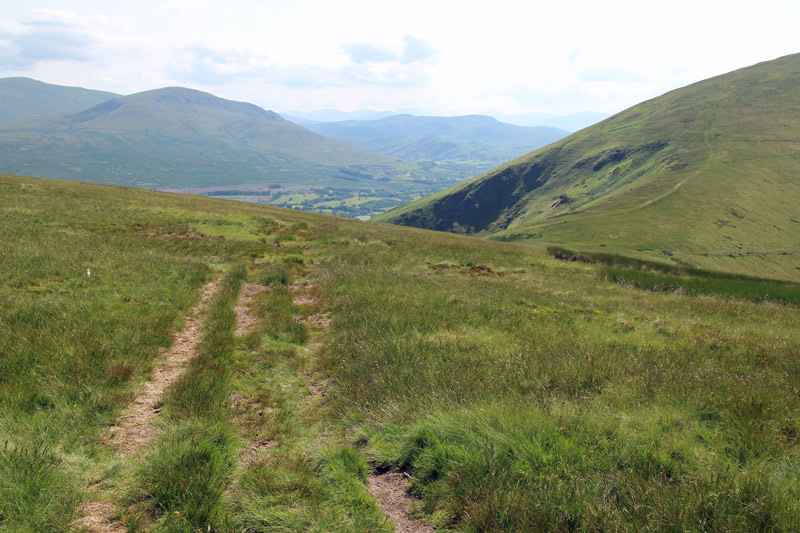
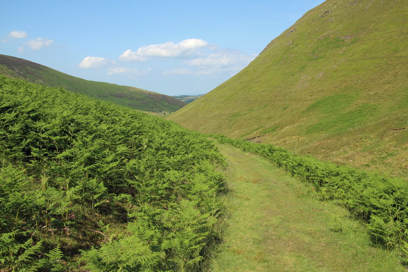
We parked by the village hall in the lovely village of Mungrisdale and headed south along the lane, before turning off at a gate and climbing up and along the flank of Souther Fell
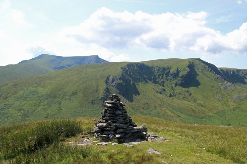
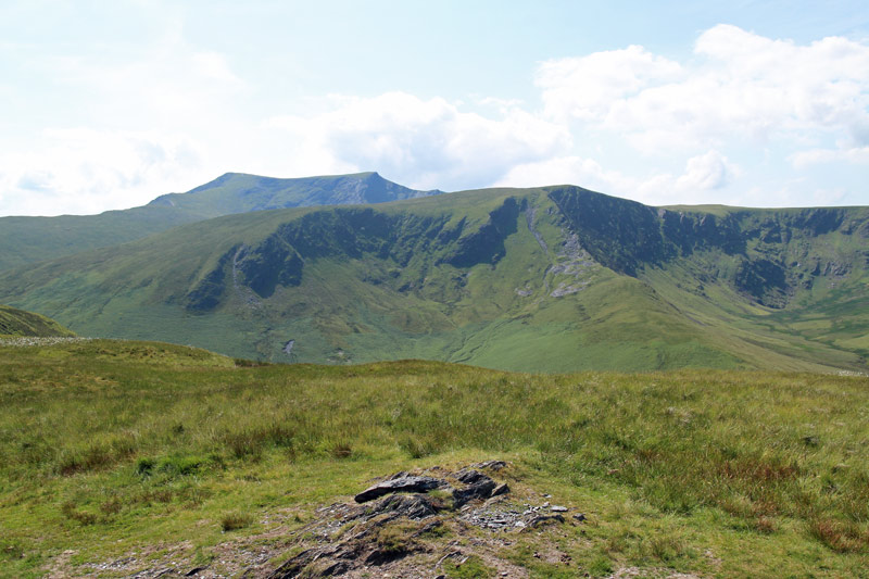
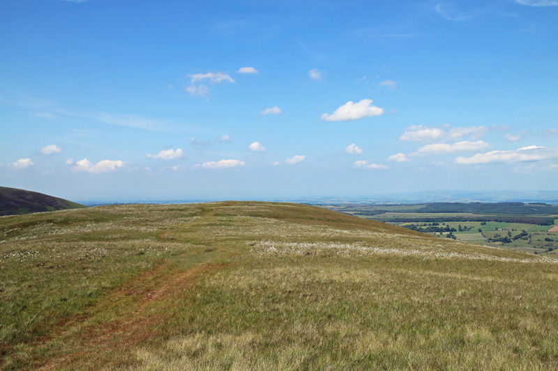
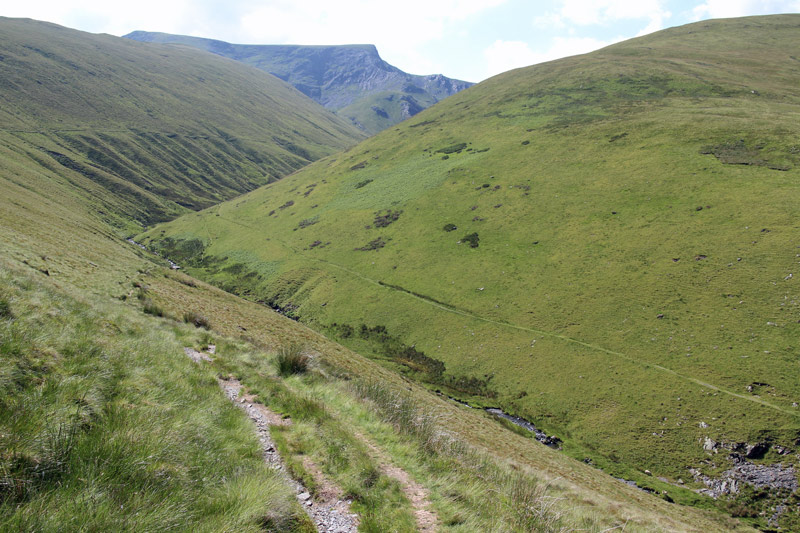
It was roasting – 30c – and there was no shade as we laboured up through the bracken. We were glad to reach the summit ridge and walk along it to the highest point, from where there were great views of Blencathra
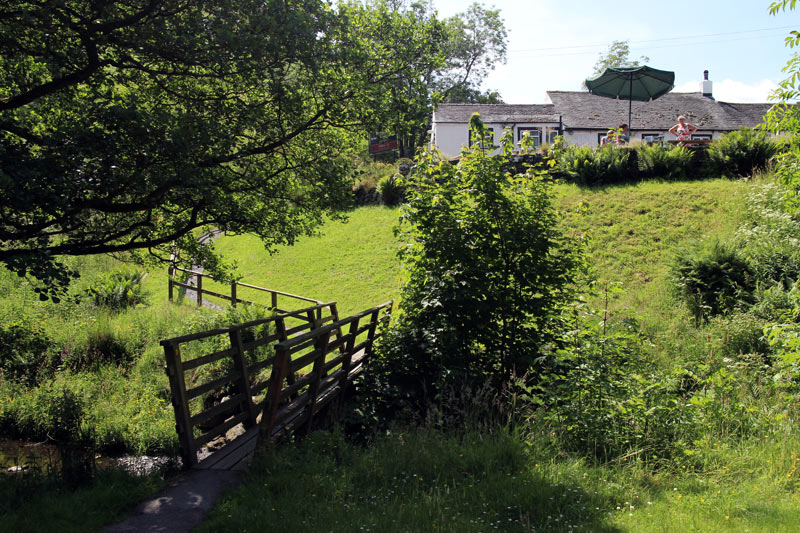
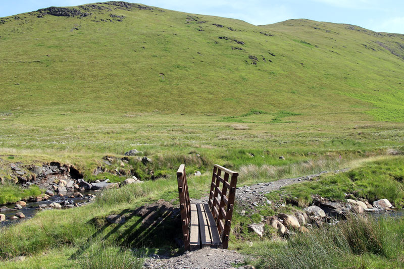
We then made our way down towards White Horse Bent and crossed the River Glenderamackin via a footbridge
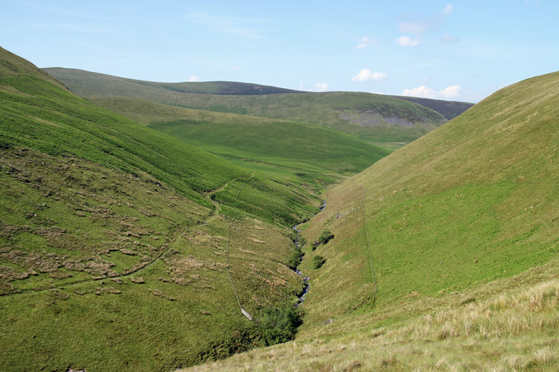
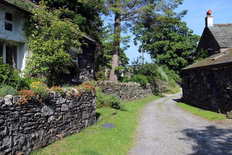
It was then a simple walk back along the quiet valley beside the river and then into Mungrisdale village
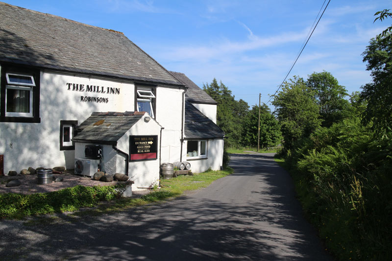
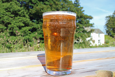
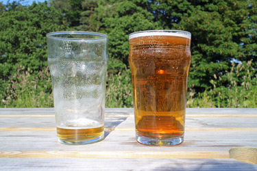
Thanks to some cunning route planning, (a hat trick of such endings) the walk finished at a pub, the Mill Inn, where we were able to rehydrate ourselves. We’d only seen one other couple along the way, and had really enjoyed our time in this remote and unspoilt area
Click on the icon below for the route map (subscribers to OS Maps can view detailed maps of the route, visualise it in aerial 3D, and download the GPX file. Non-subscribers will see a base map)
Scroll down – or click on any photo to enlarge it and you can then view as a slideshow
