Route: Haycock and Caw Fell
Area: Western Lake District
Date of walk: 20th June 2013
Walkers: Andrew
Distance: 11.8 miles
Ascent: 2,400 feet
These two fells are in very remote locations and there’s a long walk in from whatever direction they are tackled
I decided to approach them via Ennerdale, and parked at Bowness Knott. I walked along the easy track by the shore of Ennerdale Water. It was a beautiful morning and I walked with a spring in my step as I anticipated what lay ahead
After crossing Char Dub I headed up through the trees and eventually onto open fellside to climb up Lingmell (a very different Lingmell to the one I climbed yesterday). It was a hard slog in such hot weather but eventually I gained the ridge and views of the Scafells appeared
After visiting the top of Haycock, I made my way over to Caw Fell – a massive grassy bulk which lacks interesting features but has the virtue of being remote and isolated. There’s a real wilderness feeling to it
I then descended back to the valley and along the shoreline path. I’d hardly seen another soul all day, and it had been a great day out on these unfrequented fells
For other walks here, visit my Find Walks page and enter the name in the ‘Search site’ box
Click on the icon below for the route map (subscribers to OS Maps can view detailed maps of the route, visualise it in aerial 3D, and download the GPX file. Non-subscribers will see a base map)

Scroll down – or click on any photo to enlarge it and you can then view as a slideshow
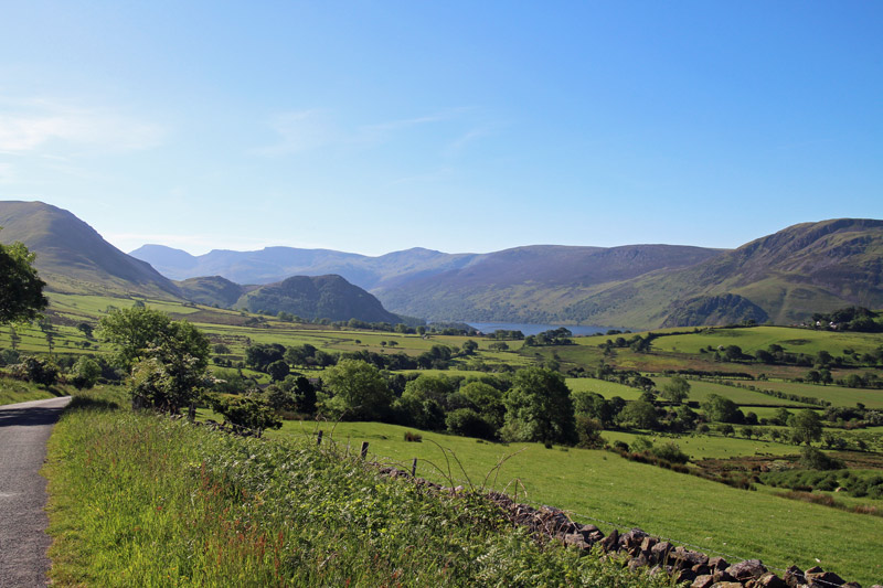
I stopped the car to take in the view - Haycock is in the background, and Bowness Knott is the small rocky hill in front of it
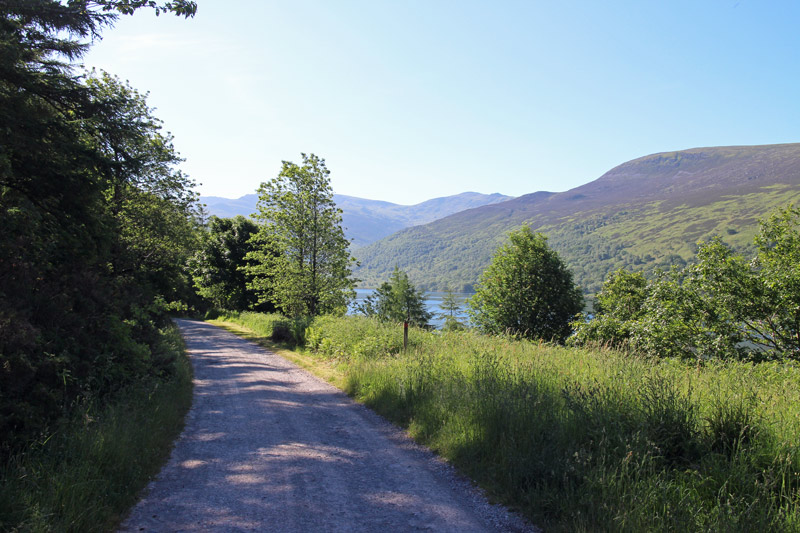
After leaving the car at Bowness Knott, I followed this easy track alongside Ennerdale Water
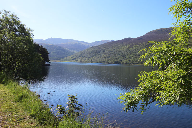
Haycock is in the middle of the photo - the pointed fell to its left is Steeple

Ennerdale Water on a beautiful morning
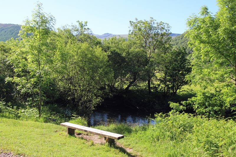
The end of the lake is reached and the path continues beside Char Dub
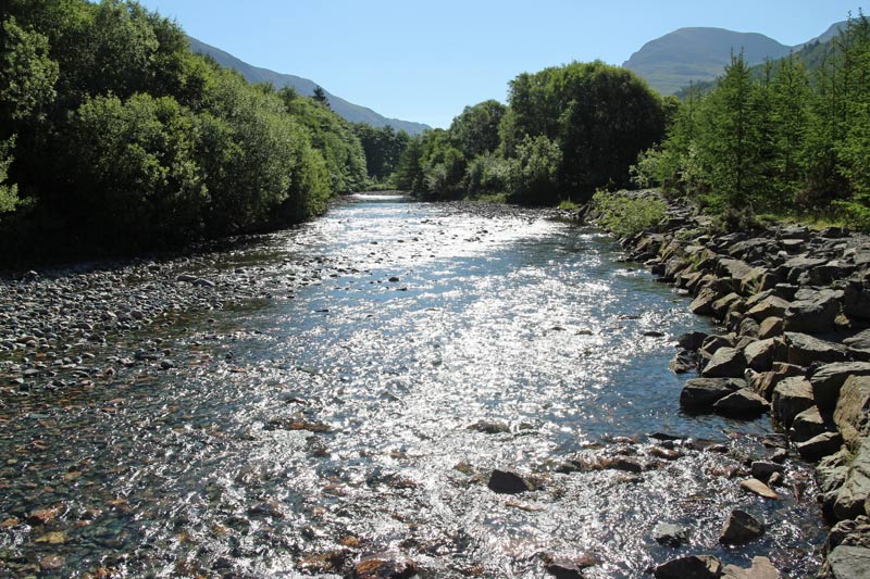
Crossing the bridge over Char Dub
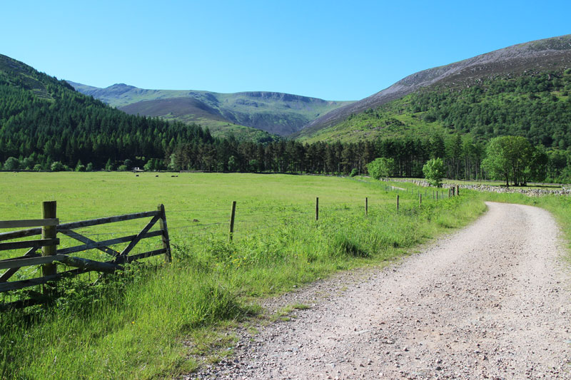
It’s still easy going, but the hard work starts soon - the top of Haycock is just out of sight to the left
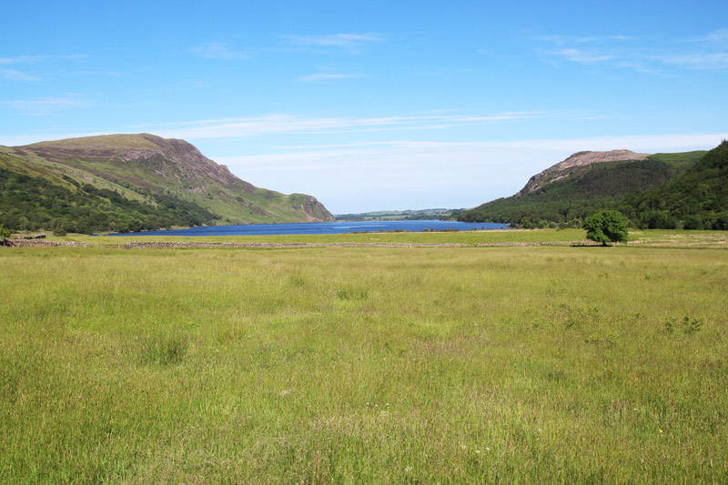
Looking across to Ennerdale Water
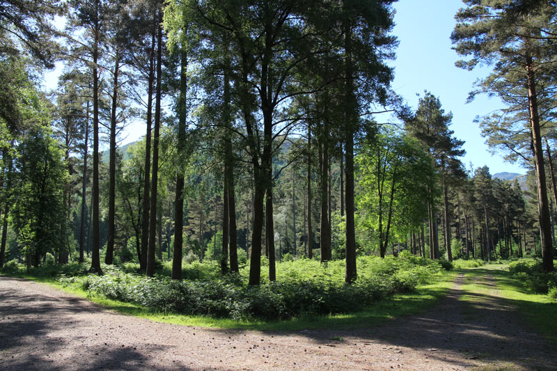
Ling Mell Plantation
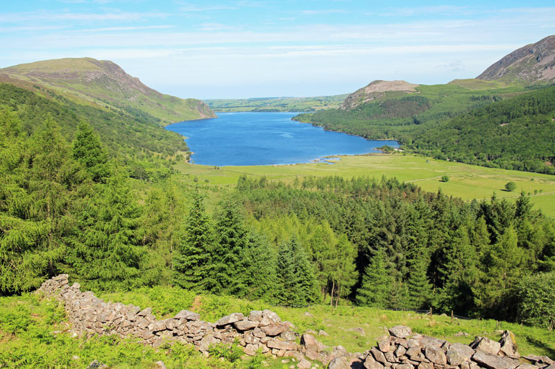
Above the plantation, looking back over Ennerdale Water
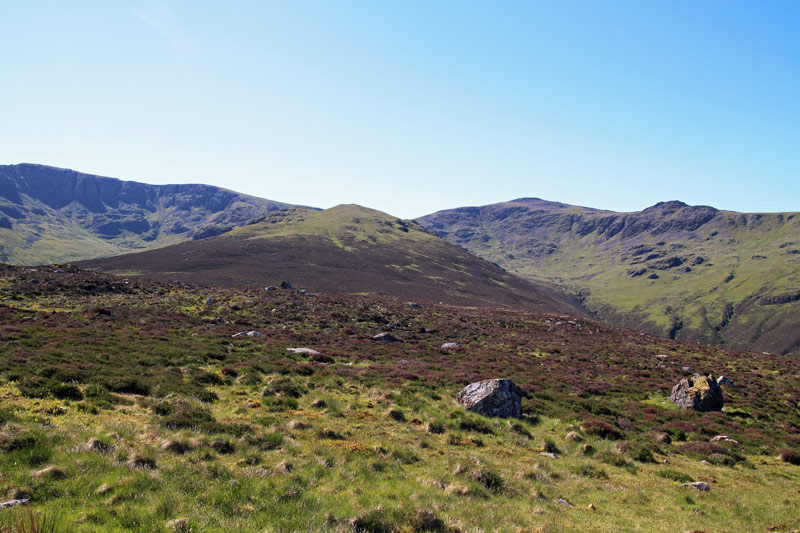
The only way is up - along Lingmell towards Haycock (to the right)
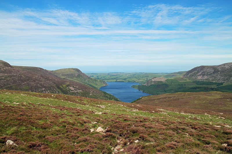
Ennerdale Water again, from higher up Lingmell
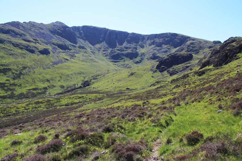
Mirklin Cove, with Steeple and Scoat Fell above
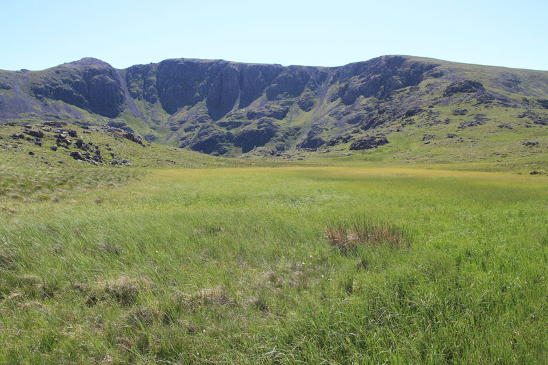
Steeple again, on the left
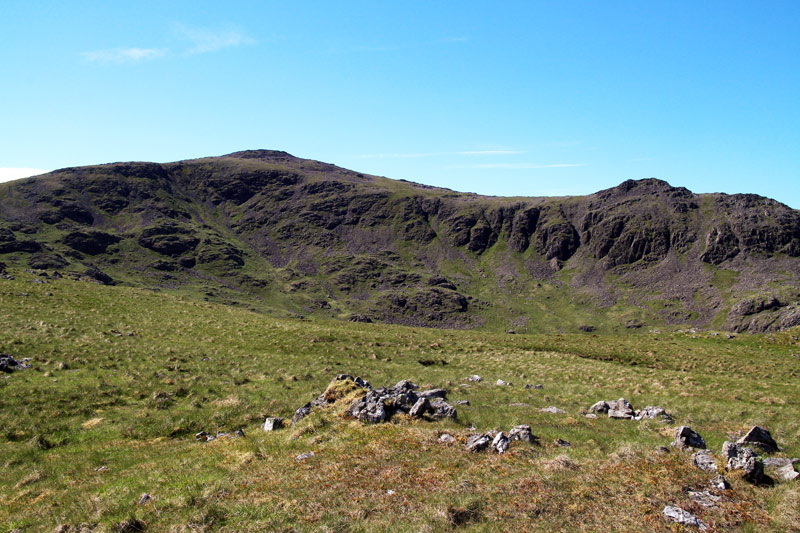
Haycock ahead, leading down to Little Gowder Crag
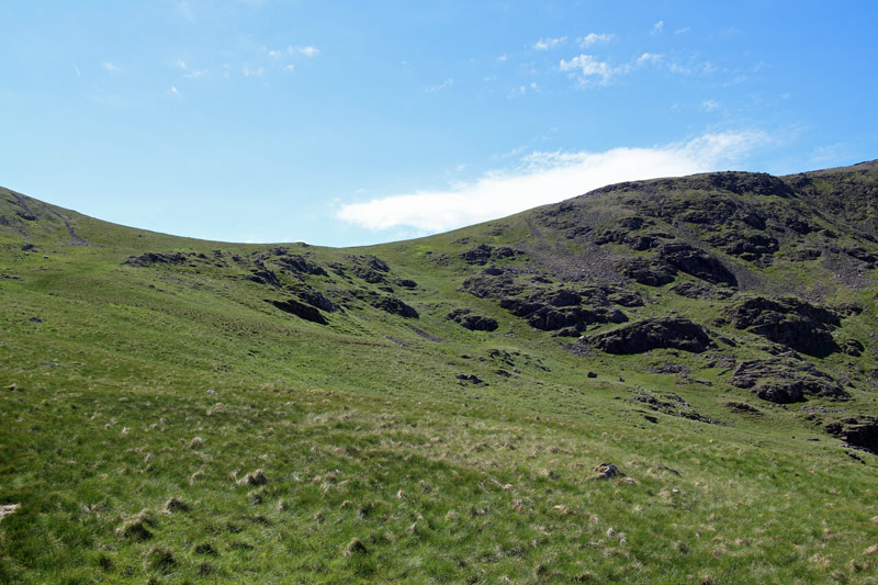
After a long climb, I’m about to gain the ridge to the summit
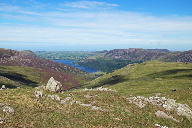
On the ridge now and looking back over Ennerdale Water
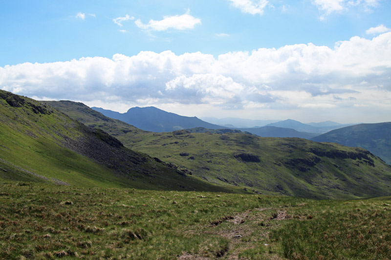
The Scafells are over there - the scene of yesterday’s walk
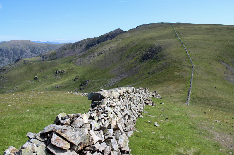
Scoat Fell and Steeple, but my route is to follow the wall in the opposite direction
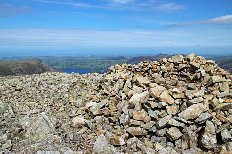
Summit cairn on Haycock
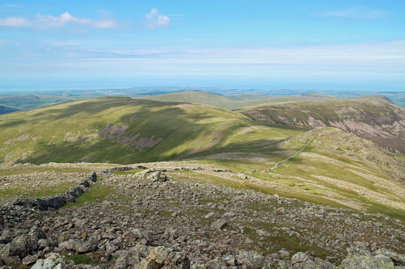
Caw Fell is ahead - just follow the dry stone wall, which runs for miles
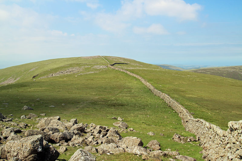
Caw Fell
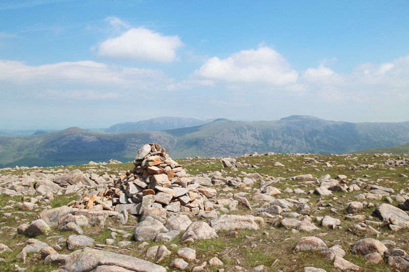
Caw Fell summit cairn - looking towards the High Stile Range
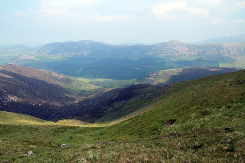
It looks a long way back - I’m descending via the ridge on the right, not named on the OS map
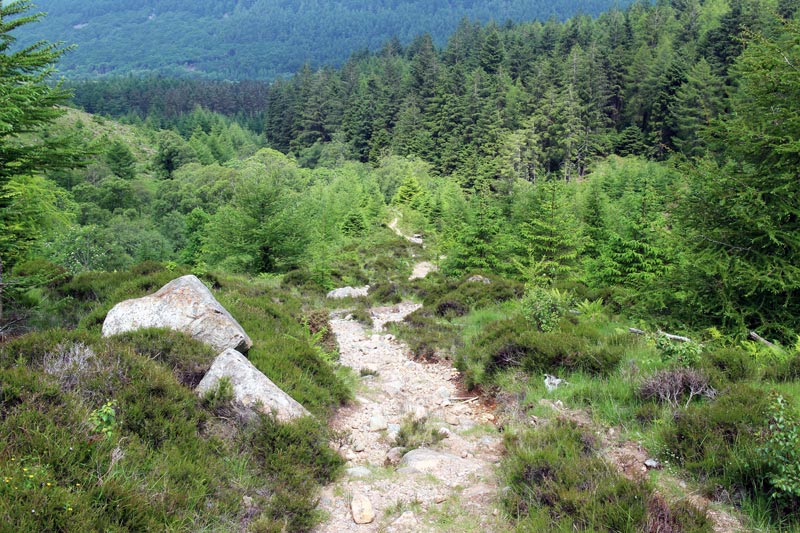
After what seemed like an eternity, I’m nearly back to valley level
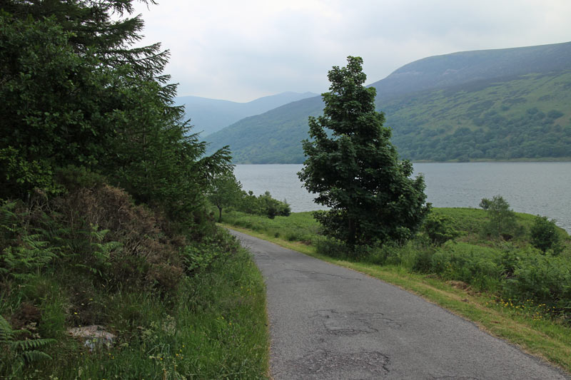
Nearly back to the car park now, and a last look back to Haycock in the distance
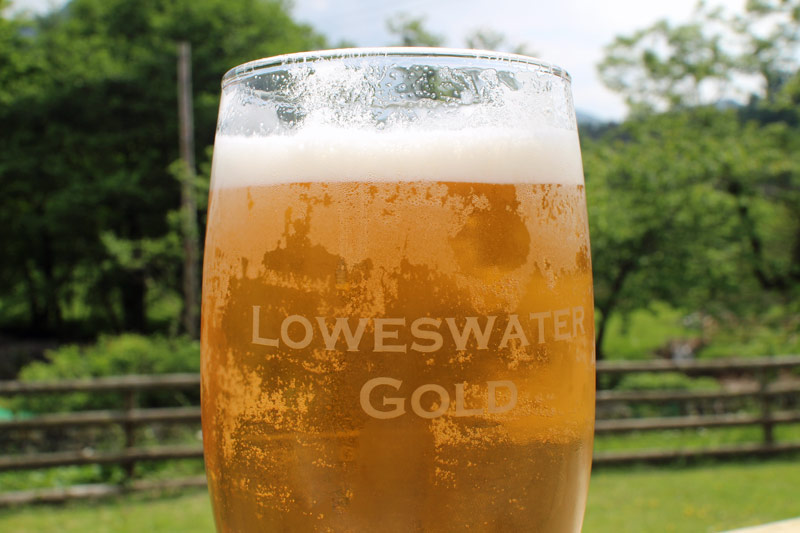
The Kirkstile Inn happened to be on the way back, so I popped in to quench my thirst, and also to wind up David with this photo - cheers!


